EstuaryWatch Data Portal
GMC Gellibrand River Estuary Mouth Observation Site
15 November 2014
Observation details
Overview
| Estuary | Gellibrand River Estuary |
|---|---|
| Site | Gellibrand River Estuary Mouth Observation Site |
| Observation ID | #9216 |
| Date and Time | Saturday 15th November 2014 10:28am |
| Approved | Approved |
Notes
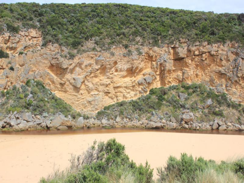
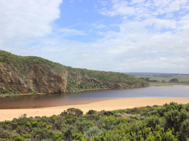
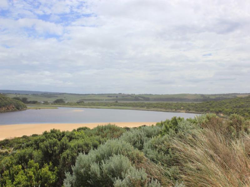
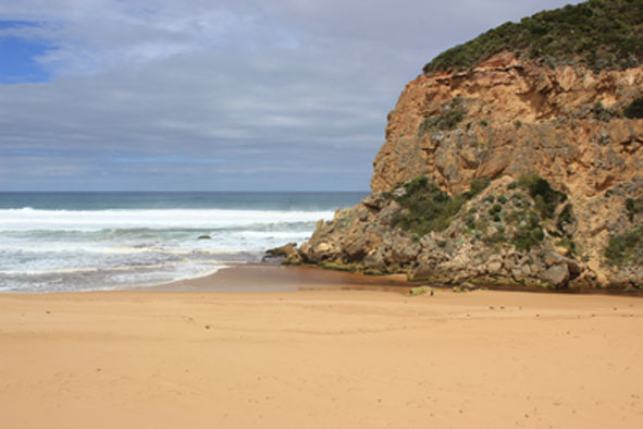
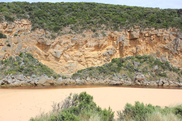
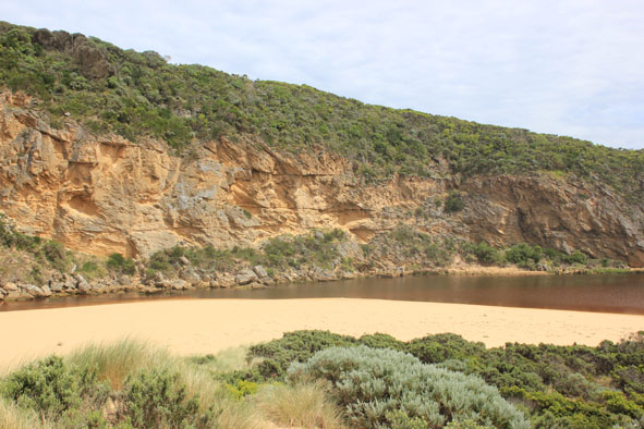
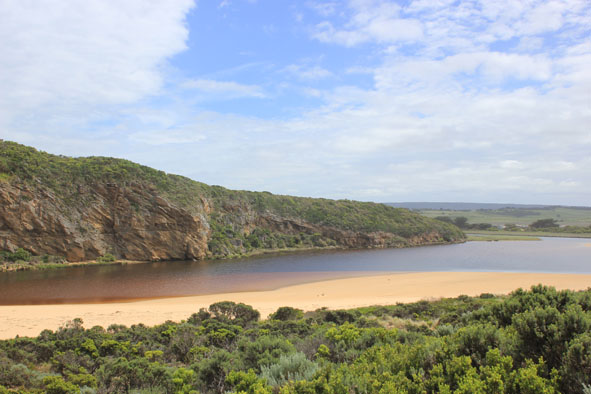
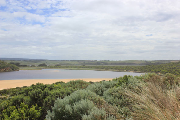
- Flow further reduced only very slight pale discharge at mouth
- Extremely shallow around mouth -more sand also in channel (steep east side 20-30cm)
- Very strong longshore drift impacting on rocks & cliff then travelling upstream
- waves have been high on beach & 2nd smaller sand cliff has formed in front of existing one
- Waves high up over a smooth area mid beach & travelling to west behind a large sand build up near mouth where they enter over rocks & upstream
Mouth Observation
| Mouth state | Open |
|---|---|
| Previous | O O O O O O O O O O O O O O O O O O C C C P C C O O O O O O O O O O O O O O O O O O O O O O O O O O O O O |
| Flow Present? | Yes |
| Previous | Y Y Y Y Y Y Y Y Y Y Y Y Y Y Y Y Y Y N N N Y N N Y Y Y Y Y Y Y Y Y Y Y Y Y Y Y Y Y Y Y Y Y Y Y Y Y Y Y Y Y |
| Flow Direction | Out |
| Previous | O O O O O O O O O O O O O O O O O O N N N I N N O O I O I I O I O O O O O O I O O O O O O O O O O O O O |
| Above Sea | Above Estuary | |
|---|---|---|
| Berm Height (m) | ||
| Berm Length (m) |
Physical Condition
| Current | Mode | |
|---|---|---|
| Wind Direction | South | |
| Beaufort Scale | Gentle breeze | |
| Sea State | Rough |


All content, files, data and images provided by the EstuaryWatch Data Portal and Gallery are subject to a Creative Commons Attribution License
Content is made available to be used in any way, and should always attribute EstuaryWatch and www.estuarywatch.org.au