EstuaryWatch Data Portal
GMC Gellibrand River Estuary Mouth Observation Site
14 December 2014
Observation details
Overview
| Estuary | Gellibrand River Estuary |
|---|---|
| Site | Gellibrand River Estuary Mouth Observation Site |
| Observation ID | #9274 |
| Date and Time | Sunday 14th December 2014 10:00am |
| Approved | Approved |
Notes
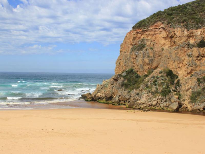
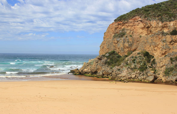
- Slight pale discharge out around mouth & about 40m. to left, mouth extremely shallow
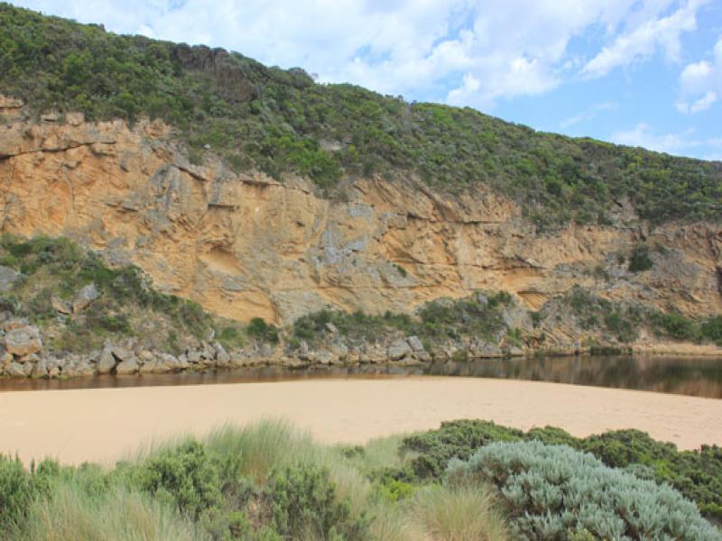
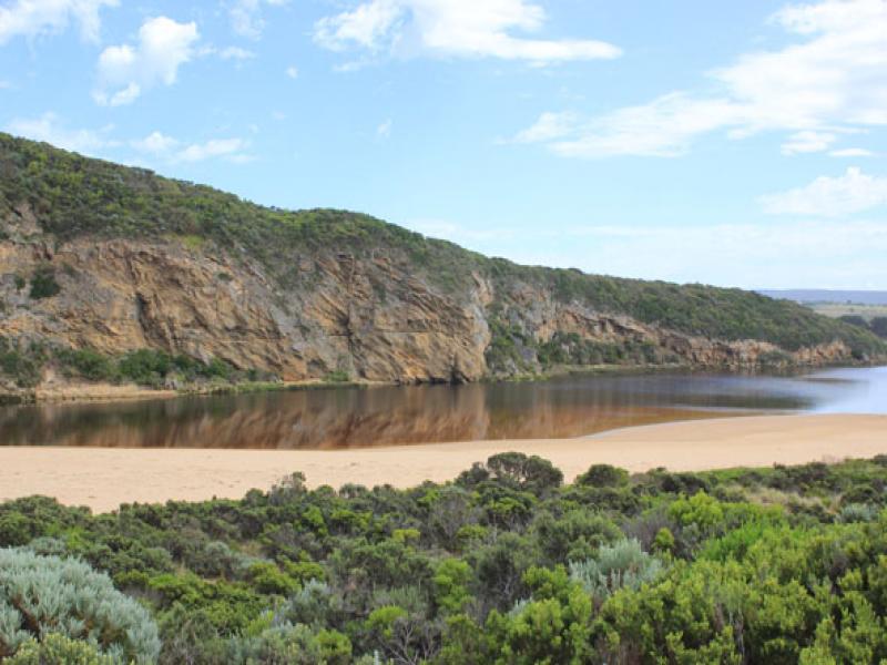
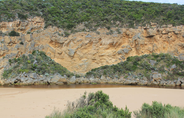
- Greatly reduced flow (low tide) with more sand at entrance & in channel
- Flow only between rocks & cliff face
- High sand build up immediately east of rocks
- Beach horseshoe shaped
- Active longshore drift
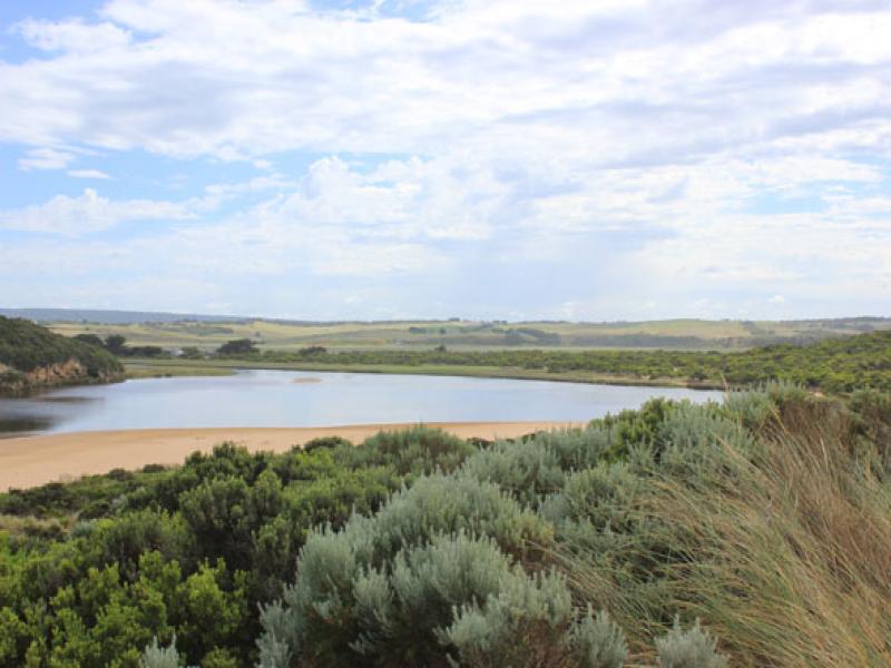
- No of small fish along east side of estuary has increased
- More algae forming along east side of estuary
Mouth Observation
| Mouth state | Open |
|---|---|
| Previous | O O O O O O O O O O O O O O C C C P C C O O O O O O O O O O O O O O O O O O O O O O O O O O O O O O O O O |
| Flow Present? | Yes |
| Previous | Y Y Y Y Y Y Y Y Y Y Y Y Y Y N N N Y N N Y Y Y Y Y Y Y Y Y Y Y Y Y Y Y Y Y Y Y Y Y Y Y Y Y Y Y Y Y Y Y Y Y |
| Flow Direction | N/A |
| Previous | O O O O O O O O O O O O O O N N N I N N O O I O I I O I O O O O O O I O O O O O O O O O O O O O O O O O |
| Above Sea | Above Estuary | |
|---|---|---|
| Berm Height (m) | ||
| Berm Length (m) |
Physical Condition
| Current | Mode | |
|---|---|---|
| Wind Direction | South | |
| Beaufort Scale | Gentle breeze | |
| Sea State | Moderate |


All content, files, data and images provided by the EstuaryWatch Data Portal and Gallery are subject to a Creative Commons Attribution License
Content is made available to be used in any way, and should always attribute EstuaryWatch and www.estuarywatch.org.au