EstuaryWatch Data Portal
GMC Gellibrand River Estuary Mouth Observation Site
29 January 2015
Observation details
Overview
| Estuary | Gellibrand River Estuary |
|---|---|
| Site | Gellibrand River Estuary Mouth Observation Site |
| Observation ID | #9364 |
| Date and Time | Thursday 29th January 2015 11:03am |
| Approved | Approved |
Notes
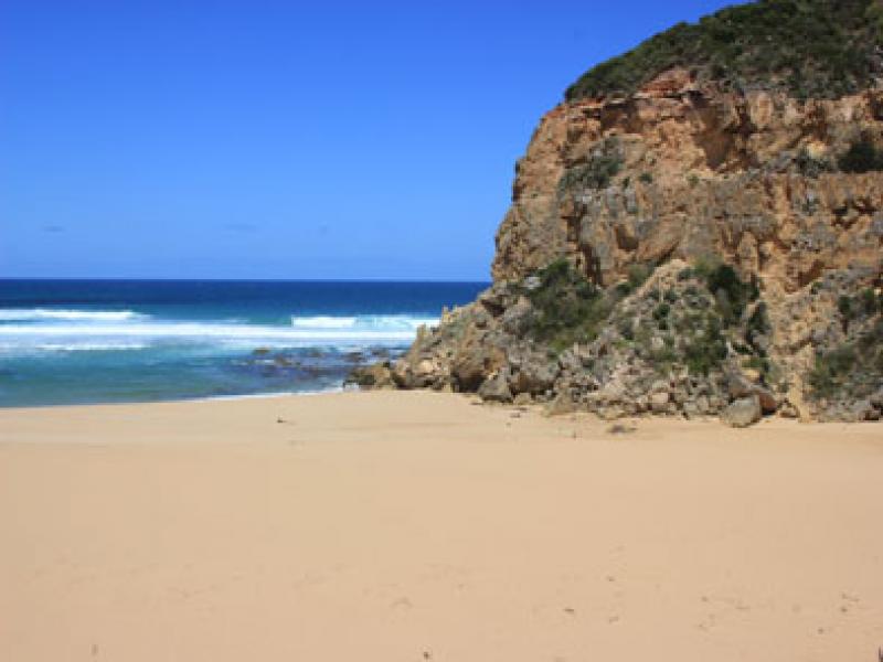
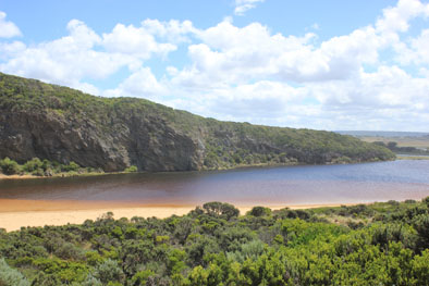
- River barred but signs of waves over berm on a wide front at last hi-tide
- observations taken at very low tide with moderate conditions
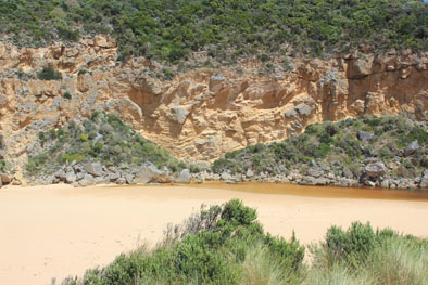
- Berm is higher & longer, 88m from swash line to river, more sand cover over rocks
- At about 40m from sea to the river there is a low depression in berm
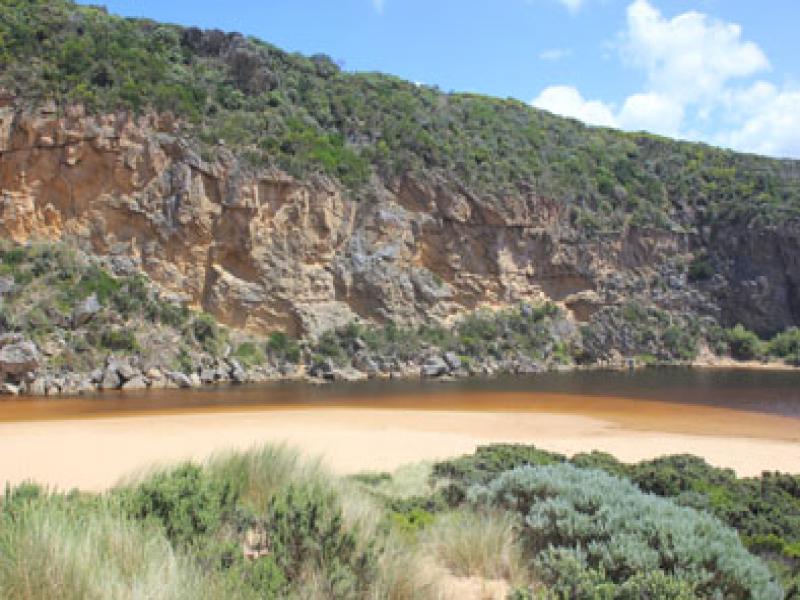
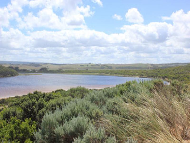
- Water level in estuary rising, small fish noted swimming in clear areas between vegetation along low track
Mouth Observation
| Mouth state | Closed |
|---|---|
| Previous | O O O O O O O C C C P C C O O O O O O O O O O O O O O O O O O O O O O O O O O O O O O O O O O C C C C O O P |
| Flow Present? | No |
| Previous | Y Y Y Y Y Y Y N N N Y N N Y Y Y Y Y Y Y Y Y Y Y Y Y Y Y Y Y Y Y Y Y Y Y Y Y Y Y Y Y Y Y Y Y Y N N N N Y Y Y |
| Flow Direction | N/A |
| Previous | O O O O O O O N N N I N N O O I O I I O I O O O O O O I O O O O O O O O O O O O O O O O O N N N N O O I |
| Above Sea | Above Estuary | |
|---|---|---|
| Berm Height (m) | 0.6m | 0.5m |
| Berm Length (m) |
Physical Condition
| Current | Mode | |
|---|---|---|
| Wind Direction | South | |
| Beaufort Scale | Moderate breeze | |
| Sea State | Moderate |


All content, files, data and images provided by the EstuaryWatch Data Portal and Gallery are subject to a Creative Commons Attribution License
Content is made available to be used in any way, and should always attribute EstuaryWatch and www.estuarywatch.org.au