EstuaryWatch Data Portal
GMC Gellibrand River Estuary Mouth Observation Site
4 February 2015
Observation details
Overview
| Estuary | Gellibrand River Estuary |
|---|---|
| Site | Gellibrand River Estuary Mouth Observation Site |
| Observation ID | #9398 |
| Date and Time | Wednesday 4th February 2015 09:25am |
| Approved | Approved |
Notes
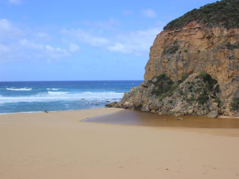
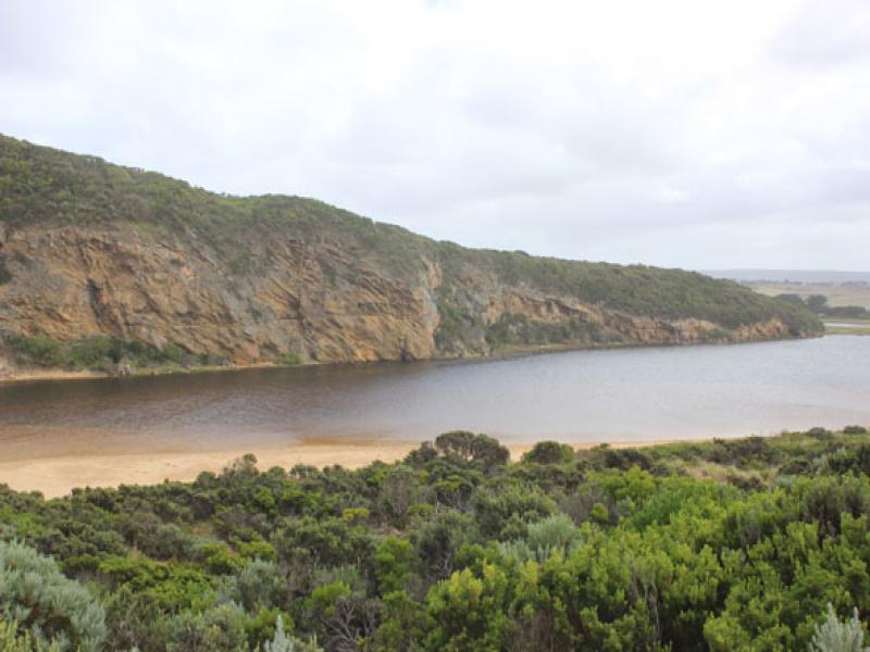
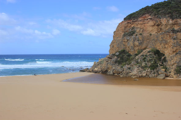
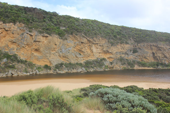
- Mouth appears to be closed but a slight flow of water is travelling under rocks & out to sea against the west cliff
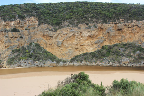
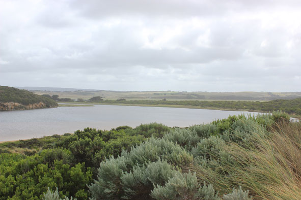
- Front of estuary is very wide & shallow , channel is also shallow
- High sand build up on beach Just east of mouth
- Front of berm has been washed away but remains about 0.50m above sea level. The dip at middle of berm between sea & estuary remains
Mouth Observation
| Mouth state | Closed |
|---|---|
| Previous | O O O O O O C C C P C C O O O O O O O O O O O O O O O O O O O O O O O O O O O O O O O O O O C C C C O O P C |
| Flow Present? | No |
| Previous | Y Y Y Y Y Y N N N Y N N Y Y Y Y Y Y Y Y Y Y Y Y Y Y Y Y Y Y Y Y Y Y Y Y Y Y Y Y Y Y Y Y Y Y N N N N Y Y Y N |
| Flow Direction | N/A |
| Previous | O O O O O O N N N I N N O O I O I I O I O O O O O O I O O O O O O O O O O O O O O O O O N N N N O O I N |
| Above Sea | Above Estuary | |
|---|---|---|
| Berm Height (m) | 0.5m | 0.3m |
| Berm Length (m) |
Physical Condition
| Current | Mode | |
|---|---|---|
| Wind Direction | South | |
| Beaufort Scale | Fresh breeze | |
| Sea State | Rough |


All content, files, data and images provided by the EstuaryWatch Data Portal and Gallery are subject to a Creative Commons Attribution License
Content is made available to be used in any way, and should always attribute EstuaryWatch and www.estuarywatch.org.au