EstuaryWatch Data Portal
GMC Gellibrand River Estuary Mouth Observation Site
26 April 2015
Observation details
Overview
| Estuary | Gellibrand River Estuary |
|---|---|
| Site | Gellibrand River Estuary Mouth Observation Site |
| Observation ID | #9531 |
| Date and Time | Sunday 26th April 2015 10:40am |
| Approved | Approved |
Notes
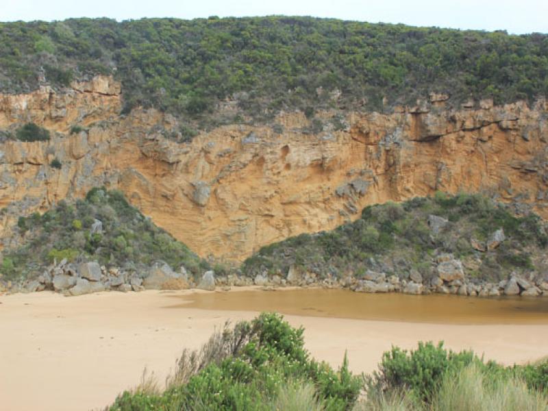
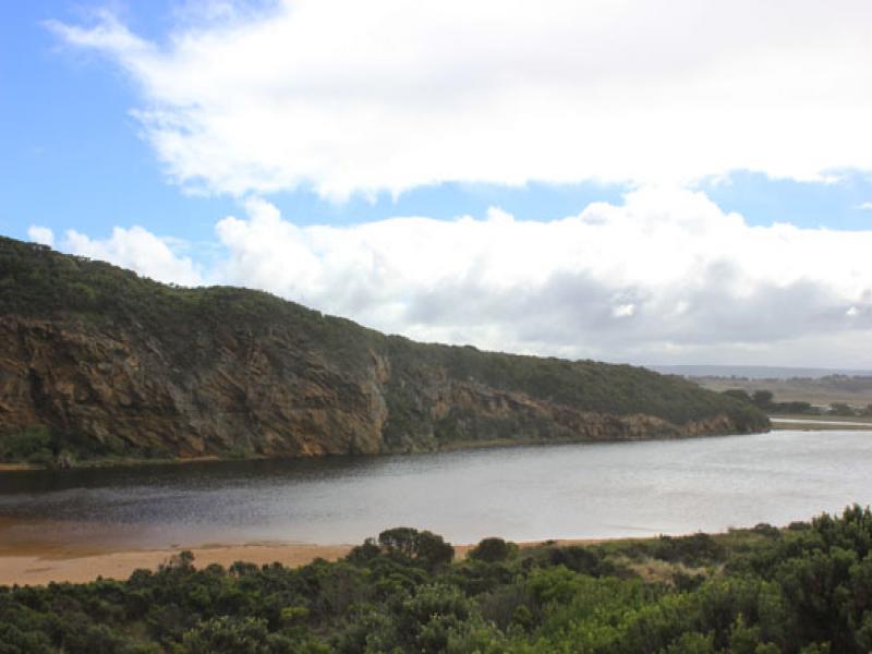
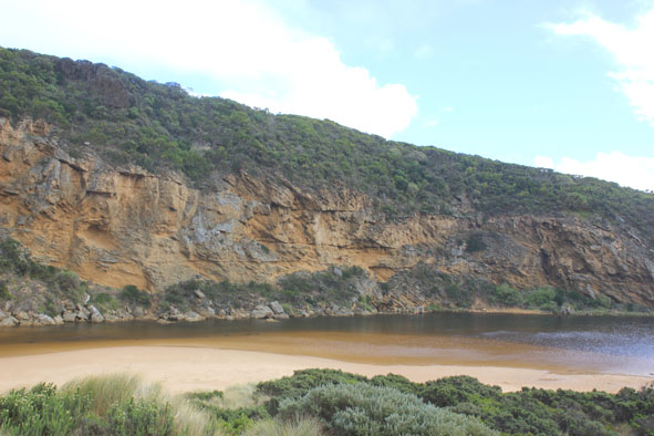
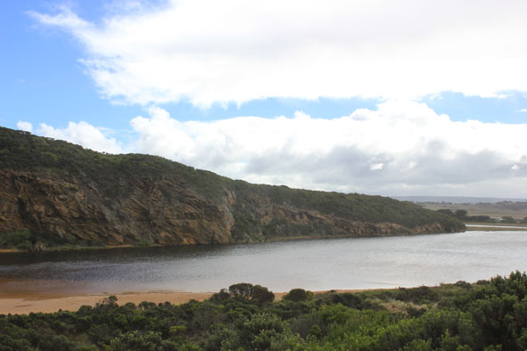
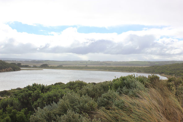
- Mouth barred - no flow
- Previous swash mark indicates waves travelling up to ward estuary but not entering -have been into estuary during previous rough seas
- Sand build up just east of mouth not as high as last time. Rock still uncovered
- Wind in all directions around estuary but south at mouth blowing sand down channel into estuary
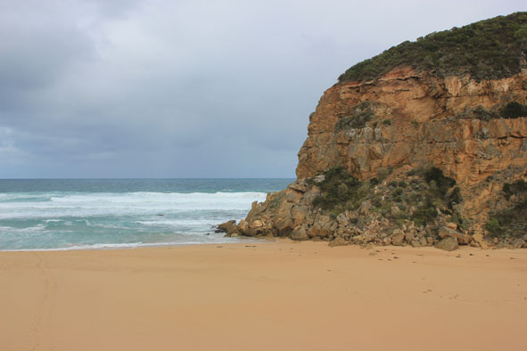
- rough sea with active longshore drift
Mouth Observation
| Mouth state | Closed |
|---|---|
| Previous | O O O O O O O O O O O O O O O O O O O O O O O O O O O O O O O O O C C C C O O P C C O O O C C C C C C O O O P |
| Flow Present? | No |
| Previous | Y Y Y Y Y Y Y Y Y Y Y Y Y Y Y Y Y Y Y Y Y Y Y Y Y Y Y Y Y Y Y Y Y N N N N Y Y Y N N Y Y Y N N N N N N Y Y Y Y |
| Flow Direction | N/A |
| Previous | O I O I I O I O O O O O O I O O O O O O O O O O O O O O O O O N N N N O O I N N O I O N N N N N N O O O I |
| Above Sea | Above Estuary | |
|---|---|---|
| Berm Height (m) | 0.2m | |
| Berm Length (m) |
Physical Condition
| Current | Mode | |
|---|---|---|
| Wind Direction | South | |
| Beaufort Scale | Fresh breeze | |
| Sea State | Rough |


All content, files, data and images provided by the EstuaryWatch Data Portal and Gallery are subject to a Creative Commons Attribution License
Content is made available to be used in any way, and should always attribute EstuaryWatch and www.estuarywatch.org.au