EstuaryWatch Data Portal
GMC Gellibrand River Estuary Mouth Observation Site
9 May 2015
Observation details
Overview
| Estuary | Gellibrand River Estuary |
|---|---|
| Site | Gellibrand River Estuary Mouth Observation Site |
| Observation ID | #9610 |
| Date and Time | Saturday 9th May 2015 10:45am |
| Approved | Approved |
Notes
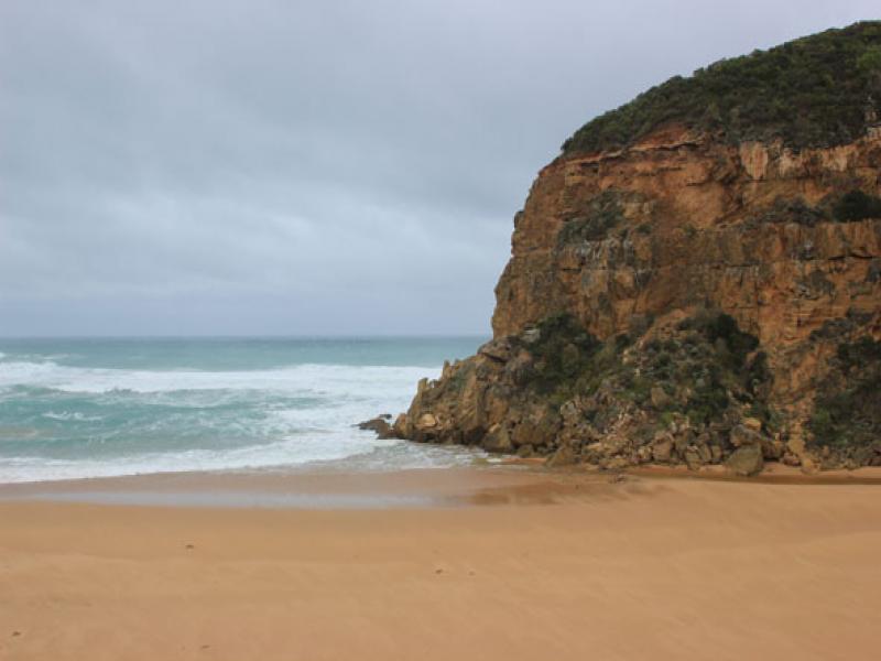
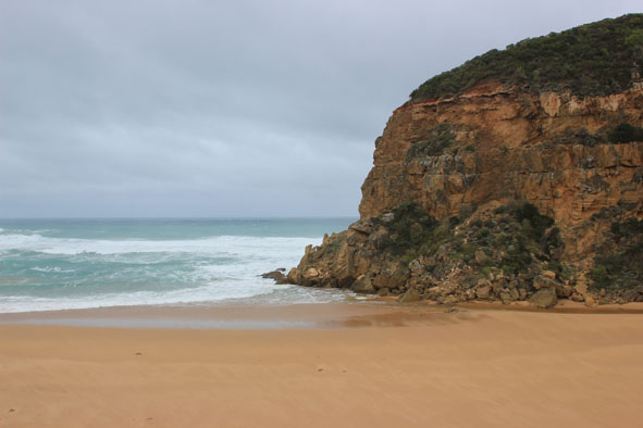
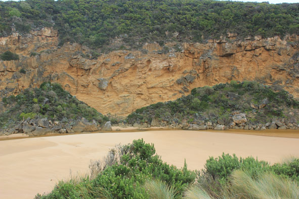
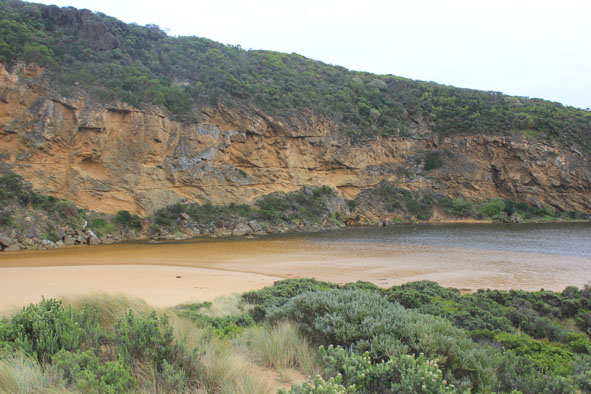
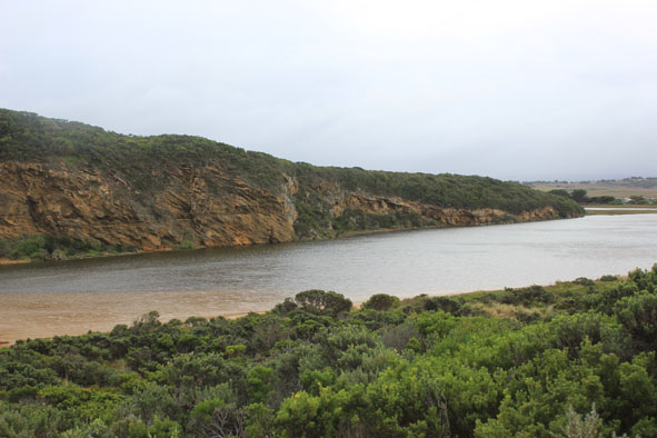
- Flow out through narrow shallow channel (about 2-3m wide) against cliff
- Large area of sand between rocks & sea
- Active longshore drift & rip, waves entering estuary
- Height of sand east of entrance has been reduced
- front of estuary more parallel to ocean
- Height of sand between front of estuary & ocean only slight
- Waves high up on beach & scouring out east end
- Wind from north flattening out waves
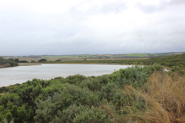
Mouth Observation
| Mouth state | Open |
|---|---|
| Previous | O O O O O O O O O O O O O O O O O O O O O O O O O O O O O O O O O C C C C O O P C C O O O C C C C C C O O O P C O O |
| Flow Present? | Yes |
| Previous | Y Y Y Y Y Y Y Y Y Y Y Y Y Y Y Y Y Y Y Y Y Y Y Y Y Y Y Y Y Y Y Y Y N N N N Y Y Y N N Y Y Y N N N N N N Y Y Y Y N Y Y |
| Flow Direction | Out |
| Previous | O I O I I O I O O O O O O I O O O O O O O O O O O O O O O O O N N N N O O I N N O I O N N N N N N O O O I N O O |
| Above Sea | Above Estuary | |
|---|---|---|
| Berm Height (m) | ||
| Berm Length (m) |
Physical Condition
| Current | Mode | |
|---|---|---|
| Wind Direction | North | |
| Beaufort Scale | Fresh breeze | |
| Sea State | Rough |


All content, files, data and images provided by the EstuaryWatch Data Portal and Gallery are subject to a Creative Commons Attribution License
Content is made available to be used in any way, and should always attribute EstuaryWatch and www.estuarywatch.org.au