EstuaryWatch Data Portal
GMC Gellibrand River Estuary Mouth Observation Site
13 May 2015
Observation details
Overview
| Estuary | Gellibrand River Estuary |
|---|---|
| Site | Gellibrand River Estuary Mouth Observation Site |
| Observation ID | #9614 |
| Date and Time | Wednesday 13th May 2015 08:03am |
| Approved | Approved |
Notes
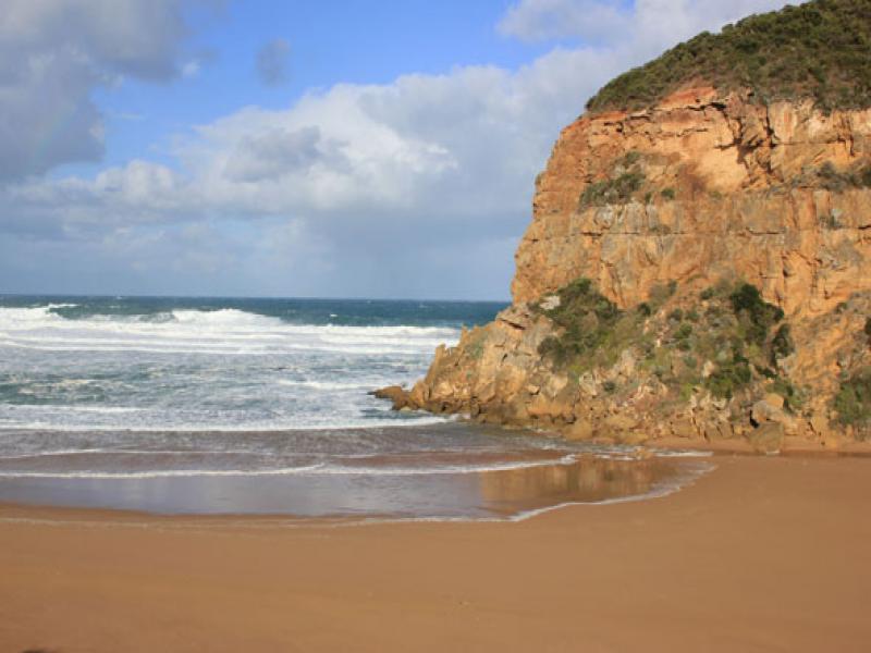
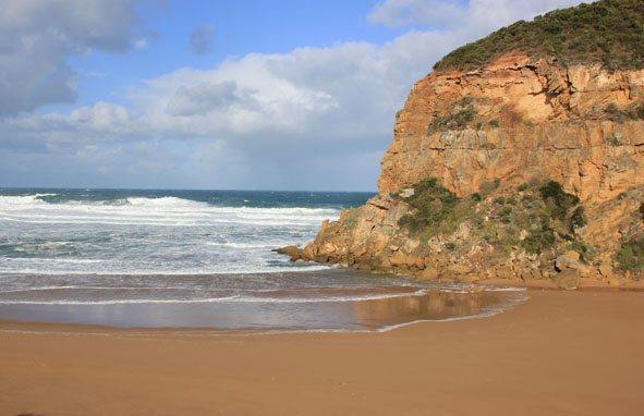
- Mouth perched occasional waves across v. wide area, some reaching estuary resulting in small return against cliff
- Dune below GP1 site has been cut away by high sea & strong winds
- Ocean beach very flat
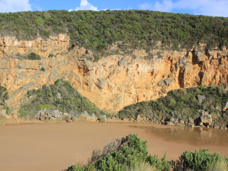
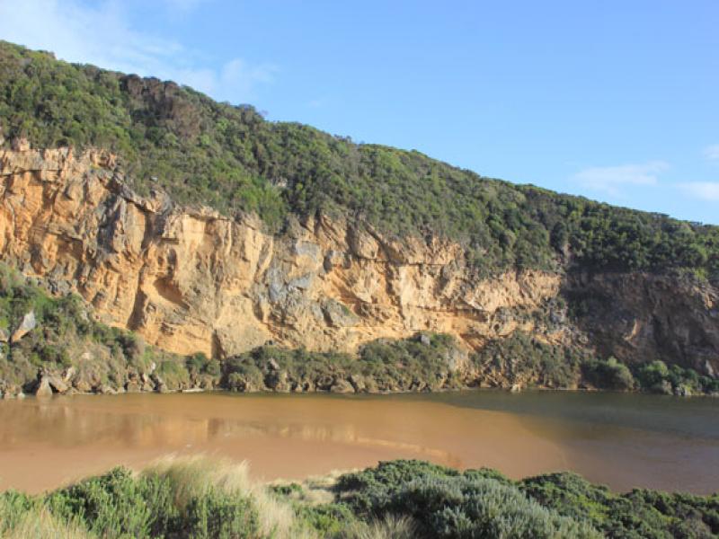
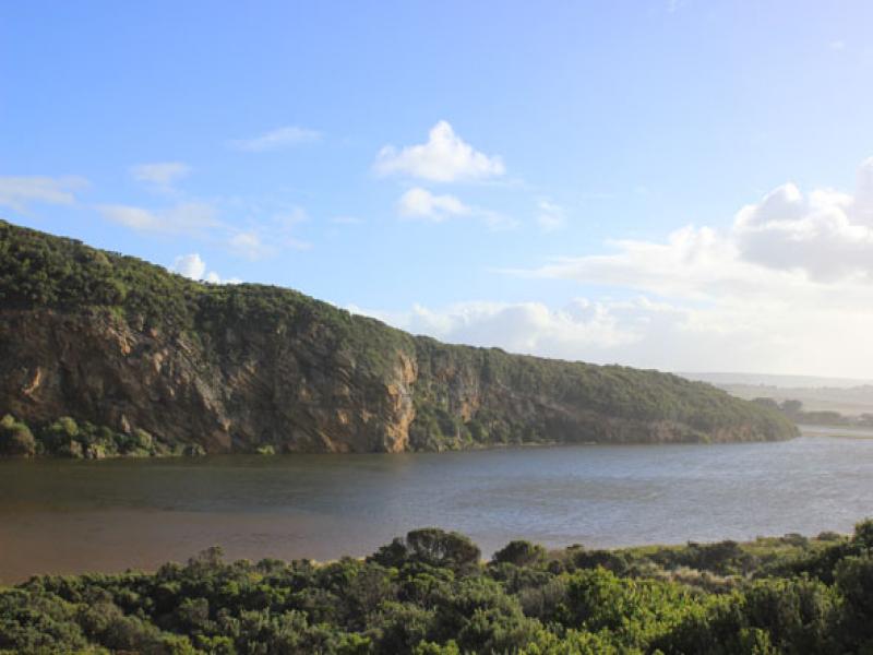
- Previous high sand just east of mouth has been moved toward estuary, large sand build up under shallow water close to tunnel entrance in estuary
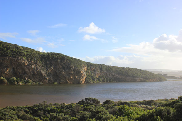
- All roads & camp ground flooded(.77cm at flood markers OOR). Water nearly across GOR
- Serious flooding along lower estuary but not upstream (Water about .40. from concrete deck at G4 & only runoff upstream G5)
Mouth Observation
| Mouth state | Perched |
|---|---|
| Previous | O O O O O O O O O O O O O O O O O O O O O O O O O O O O O O O O C C C C O O P C C O O O C C C C C C O O O P C O O O |
| Flow Present? | No |
| Previous | Y Y Y Y Y Y Y Y Y Y Y Y Y Y Y Y Y Y Y Y Y Y Y Y Y Y Y Y Y Y Y Y N N N N Y Y Y N N Y Y Y N N N N N N Y Y Y Y N Y Y Y |
| Flow Direction | N/A |
| Previous | I O I I O I O O O O O O I O O O O O O O O O O O O O O O O O N N N N O O I N N O I O N N N N N N O O O I N O O O |
| Above Sea | Above Estuary | |
|---|---|---|
| Berm Height (m) | ||
| Berm Length (m) |
Physical Condition
| Current | Mode | |
|---|---|---|
| Wind Direction | South | |
| Beaufort Scale | Strong breeze | |
| Sea State | Very Rough |


All content, files, data and images provided by the EstuaryWatch Data Portal and Gallery are subject to a Creative Commons Attribution License
Content is made available to be used in any way, and should always attribute EstuaryWatch and www.estuarywatch.org.au