EstuaryWatch Data Portal
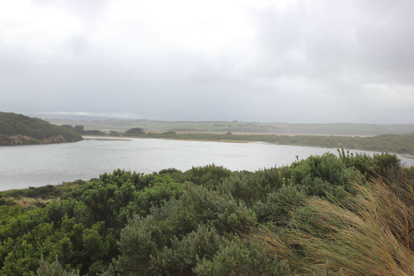
GMC Gellibrand River Estuary Mouth Observation Site
14 May 2015
Observation details
Overview
| Estuary | Gellibrand River Estuary |
|---|---|
| Site | Gellibrand River Estuary Mouth Observation Site |
| Observation ID | #9615 |
| Date and Time | Thursday 14th May 2015 09:30am |
| Approved | Approved |
Notes
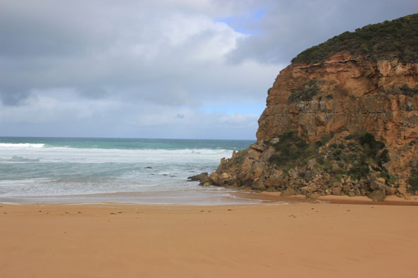
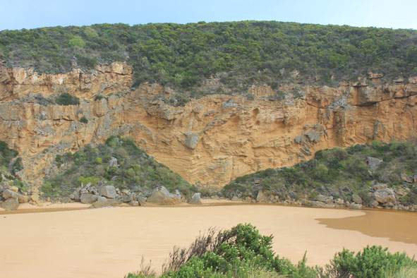
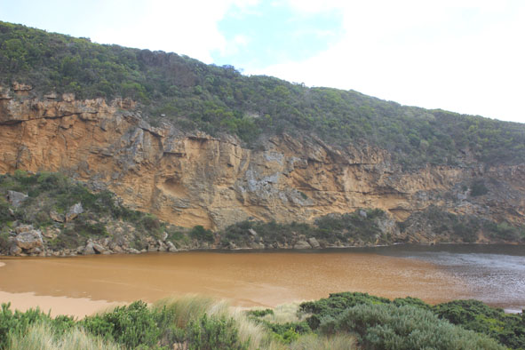
- Natural opening over night, very shallow entrance & channel only about 3-5m. between rocks & cliff
- Slight pale discharge only around mouth & slightly to east
- Very strong longshore drift across mouth
- Sand dunes (ocean beach) almost parallel to ocean & smoothed out by wind, beach very flat
- East end scouring out from strong wave surge
- Channel area being impacted by strong south wind blowing sand which is reaching into estuary
- All roads flooded. GOR closed (traffic lights)
- Boardwalk under water , deep water in camp ground, .80m. at flood markers OOR, Ocean Car park partially flooded. Water now on to bridge deck G4.
- Water level from rainfall at G6 dropping
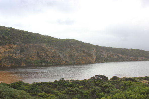
Mouth Observation
| Mouth state | Open |
|---|---|
| Previous | O O O O O O O O O O O O O O O O O O O O O O O O O O O O O O O O C C C C O O P C C O O O C C C C C C O O O P C O O O P |
| Flow Present? | Yes |
| Previous | Y Y Y Y Y Y Y Y Y Y Y Y Y Y Y Y Y Y Y Y Y Y Y Y Y Y Y Y Y Y Y Y N N N N Y Y Y N N Y Y Y N N N N N N Y Y Y Y N Y Y Y N |
| Flow Direction | Out |
| Previous | I O I I O I O O O O O O I O O O O O O O O O O O O O O O O O N N N N O O I N N O I O N N N N N N O O O I N O O O N |
| Above Sea | Above Estuary | |
|---|---|---|
| Berm Height (m) | ||
| Berm Length (m) |
Physical Condition
| Current | Mode | |
|---|---|---|
| Wind Direction | South | |
| Beaufort Scale | Strong breeze | |
| Sea State | Very Rough |


All content, files, data and images provided by the EstuaryWatch Data Portal and Gallery are subject to a Creative Commons Attribution License
Content is made available to be used in any way, and should always attribute EstuaryWatch and www.estuarywatch.org.au