EstuaryWatch Data Portal
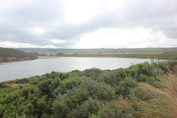
GMC Gellibrand River Estuary Mouth Observation Site
15 May 2015
Observation details
Overview
| Estuary | Gellibrand River Estuary |
|---|---|
| Site | Gellibrand River Estuary Mouth Observation Site |
| Observation ID | #9616 |
| Date and Time | Friday 15th May 2015 10:30am |
| Approved | Approved |
Notes
- Strong flow straight out to sea & also to east
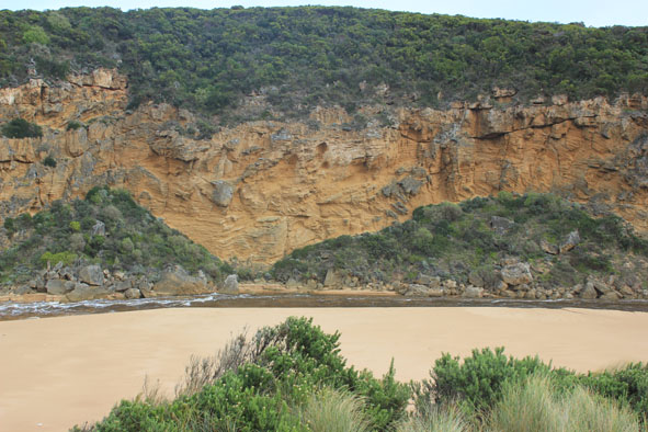
- Water being drawn out of estuary causing large waves to go upstream along channel (channel has steep sides -to .70m. high) , these waves start near the tunnel entrance in an area that has a large shallow water covered sand build up
- Water extremely turbid, sand swirls everywhere & long 'drag' lines are across sand where water has been drawn off
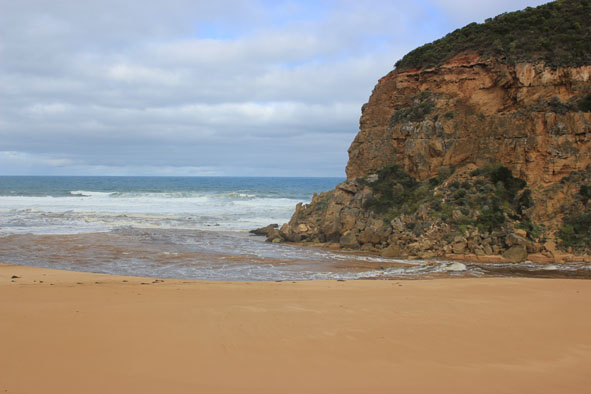
- Mouth wide, rough seas causing waves to surge over top of rocks
- East end of beach still being impacted by SW waves which have created a sheer sand cliff about 1-2m. high
- Very strong longshore drift & rip
- Strong flow downstream at G2 but waves also coming upstream toward bridge
- All areas remain flooded. OOR .80m. near flood markers @ 08:45
channel near boardwalk (also over boardwalk) where algae is starting to form- Several Portuguese Man o' war along swash line on beach
- 2 large tiger snakes near G2 bridge
Mouth Observation
| Mouth state | Open |
|---|---|
| Previous | O O O O O O O O O O O O O O O O O O O O O O O O O O O O O O O O C C C C O O P C C O O O C C C C C C O O O P C O O O P O |
| Flow Present? | Yes |
| Previous | Y Y Y Y Y Y Y Y Y Y Y Y Y Y Y Y Y Y Y Y Y Y Y Y Y Y Y Y Y Y Y Y N N N N Y Y Y N N Y Y Y N N N N N N Y Y Y Y N Y Y Y N Y |
| Flow Direction | Out |
| Previous | I O I I O I O O O O O O I O O O O O O O O O O O O O O O O O N N N N O O I N N O I O N N N N N N O O O I N O O O N O |
| Above Sea | Above Estuary | |
|---|---|---|
| Berm Height (m) | ||
| Berm Length (m) |
Physical Condition
| Current | Mode | |
|---|---|---|
| Wind Direction | South | |
| Beaufort Scale | Moderate breeze | |
| Sea State | Rough |


All content, files, data and images provided by the EstuaryWatch Data Portal and Gallery are subject to a Creative Commons Attribution License
Content is made available to be used in any way, and should always attribute EstuaryWatch and www.estuarywatch.org.au