EstuaryWatch Data Portal
GMC Gellibrand River Estuary Mouth Observation Site
30 May 2015
Observation details
Overview
| Estuary | Gellibrand River Estuary |
|---|---|
| Site | Gellibrand River Estuary Mouth Observation Site |
| Observation ID | #9645 |
| Date and Time | Saturday 30th May 2015 10:40am |
| Approved | Approved |
Notes
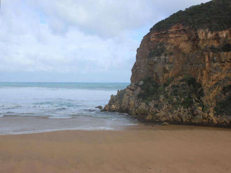
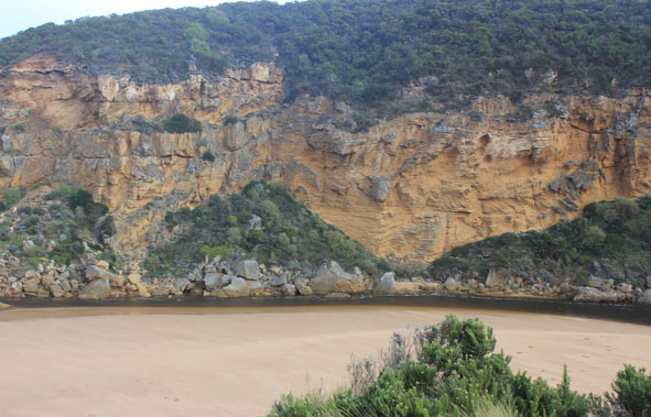
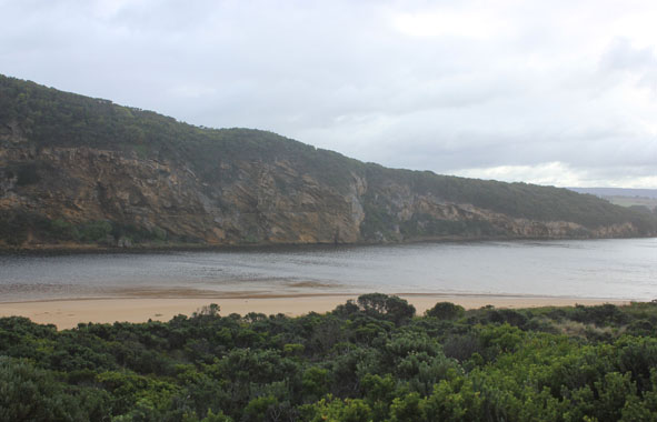
- Outflow reducing & channel width decreasing
- Rough sea, small waves entering estuary
- Large amount of sand build up in front of rocks & along channel
- Sand & debris being carried to mouth by strong longshore drift from erosion occurring at east end of beach
- Waves in all directions at east end of beach creating a sand projection out to sea at mid beach
- Strong longshore drift to mouth crossing over outflow & incoming waves
- Strong north wind blowing sand into channel and area around rocks
- Low track underwater with waves from north wind increasing depth
- Large mounds of dead sea grass along beach at south side of estuary
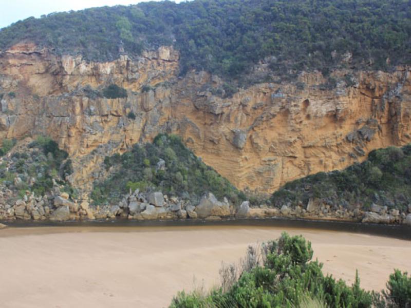
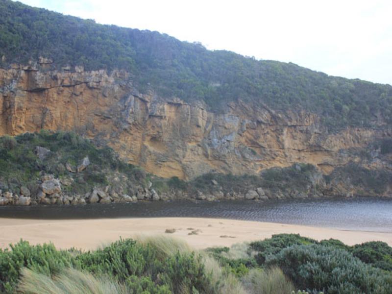
Mouth Observation
| Mouth state | Open |
|---|---|
| Previous | O O O O O O O O O O O O O O O O O O O O O O O O O O O O O O C C C C O O P C C O O O C C C C C C O O O P C O O O P O O O O |
| Flow Present? | Yes |
| Previous | Y Y Y Y Y Y Y Y Y Y Y Y Y Y Y Y Y Y Y Y Y Y Y Y Y Y Y Y Y Y N N N N Y Y Y N N Y Y Y N N N N N N Y Y Y Y N Y Y Y N Y Y Y Y |
| Flow Direction | Out |
| Previous | I I O I O O O O O O I O O O O O O O O O O O O O O O O O N N N N O O I N N O I O N N N N N N O O O I N O O O N O O O O |
| Above Sea | Above Estuary | |
|---|---|---|
| Berm Height (m) | ||
| Berm Length (m) |
Physical Condition
| Current | Mode | |
|---|---|---|
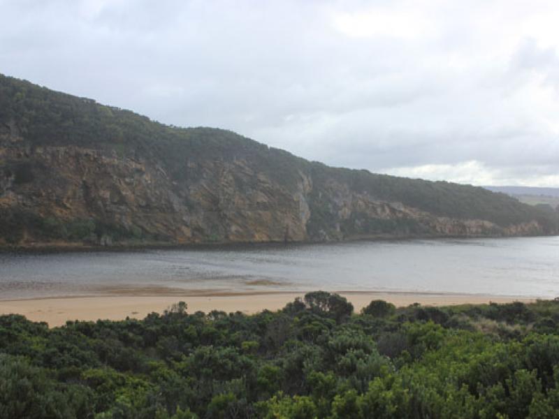
| Wind Direction | North | |
| Beaufort Scale | Strong breeze | |
| Sea State | Very Rough |


All content, files, data and images provided by the EstuaryWatch Data Portal and Gallery are subject to a Creative Commons Attribution License
Content is made available to be used in any way, and should always attribute EstuaryWatch and www.estuarywatch.org.au