EstuaryWatch Data Portal
GMC Gellibrand River Estuary Mouth Observation Site
22 May 2015
Observation details
Overview
| Estuary | Gellibrand River Estuary |
|---|---|
| Site | Gellibrand River Estuary Mouth Observation Site |
| Observation ID | #9618 |
| Date and Time | Friday 22nd May 2015 09:28am |
| Approved | Approved |
Notes
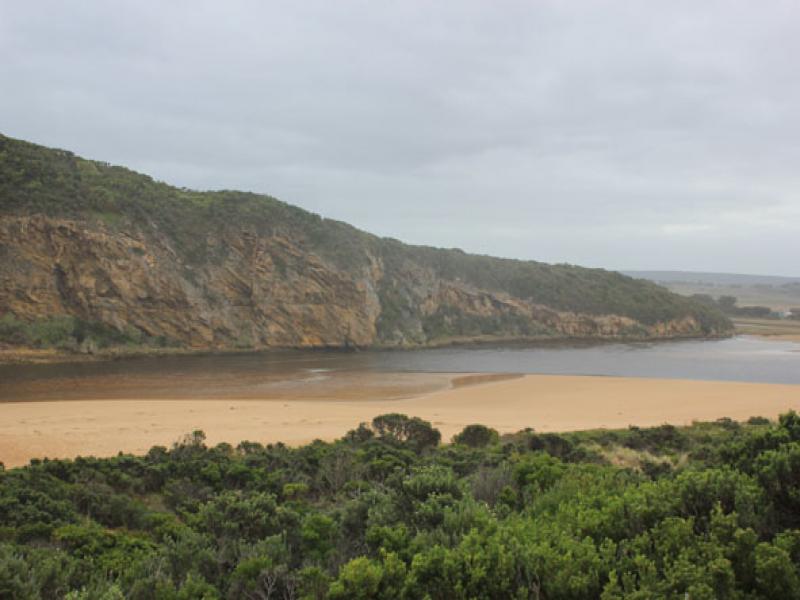
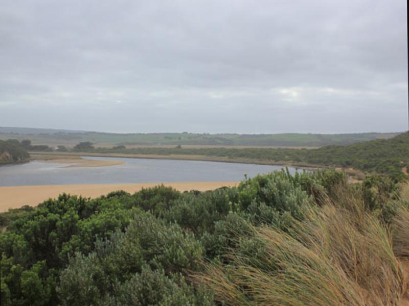
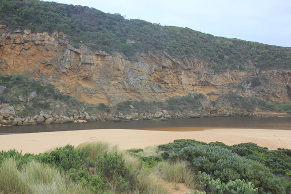
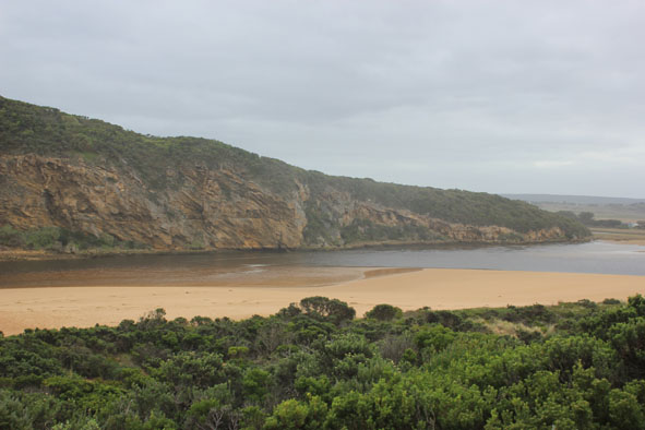
- Flowing out but some waves entering up into estuary
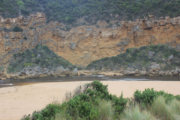
- Water very dark flowing along channel with steep/sheer east side & close to cliff at mouth.
- Sand build up in front of rocks & east of flow
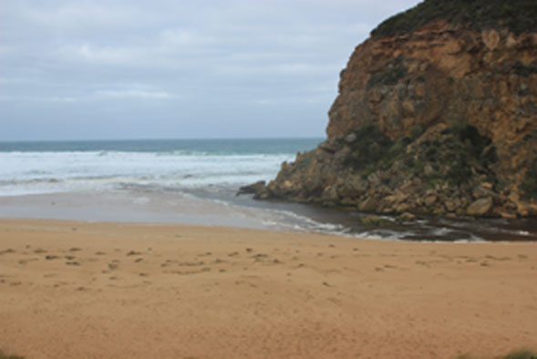
- Strong longshore drift across mouth with waves in all directions at rocks
- SW swell has scoured out east end of beach leaving sheer side to dunes & removing previous sand cliff
- Previous projection mid beach has gone
- Large amount of Marram grass & Euphorbia clumps from front of impacted dune is scattered along beach to mouth
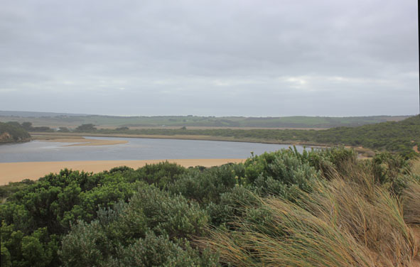
- Large amount of silt & rotting veg. remains along the low track & is also over exposed sea grass area
- 2 Bitterns observed on roadside OOR
Mouth Observation
| Mouth state | Open |
|---|---|
| Previous | O O O O O O O O O O O O O O O O O O O O O O O O O O O O O O O C C C C O O P C C O O O C C C C C C O O O P C O O O P O O O |
| Flow Present? | Yes |
| Previous | Y Y Y Y Y Y Y Y Y Y Y Y Y Y Y Y Y Y Y Y Y Y Y Y Y Y Y Y Y Y Y N N N N Y Y Y N N Y Y Y N N N N N N Y Y Y Y N Y Y Y N Y Y Y |
| Flow Direction | Out |
| Previous | O I I O I O O O O O O I O O O O O O O O O O O O O O O O O N N N N O O I N N O I O N N N N N N O O O I N O O O N O O O |
| Above Sea | Above Estuary | |
|---|---|---|
| Berm Height (m) | ||
| Berm Length (m) |
Physical Condition
| Current | Mode | |
|---|---|---|
| Wind Direction | South-East | |
| Beaufort Scale | Moderate breeze | |
| Sea State | Rough |


All content, files, data and images provided by the EstuaryWatch Data Portal and Gallery are subject to a Creative Commons Attribution License
Content is made available to be used in any way, and should always attribute EstuaryWatch and www.estuarywatch.org.au