EstuaryWatch Data Portal
GMC Gellibrand River Estuary Mouth Observation Site
9 August 2015
Observation details
Overview
| Estuary | Gellibrand River Estuary |
|---|---|
| Site | Gellibrand River Estuary Mouth Observation Site |
| Observation ID | #9781 |
| Date and Time | Sunday 9th August 2015 08:55am |
| Approved | Approved |
Notes
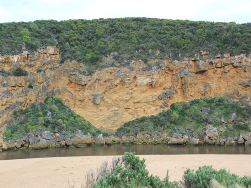
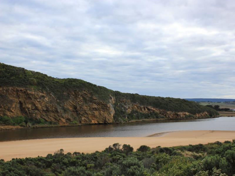
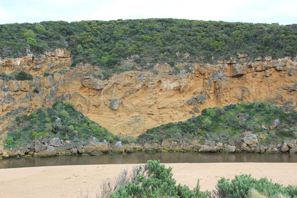
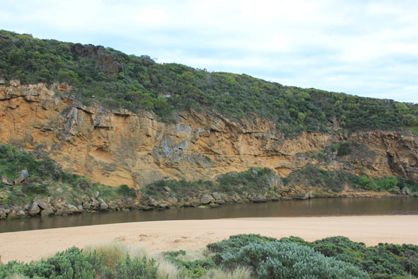
- Recent rainfall has increased out flow, dark dirty discharge out along foreshore to east.
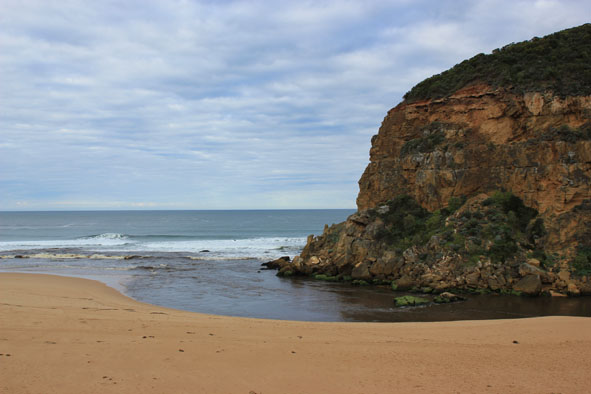
- Steep sheer side to channel & small waves entering up to rocks
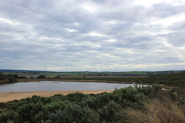
- Sand at entrance building up & projecting out to sea
- Sand bar exposed (10 Cormorants /Black & Pied. 1 White egret,2 Shell duck)
- Very small fish in scour holes remaining filled with water amongst streamside vegetation on low track, fine granular looking algae in these areas also
- Iridescent scum/algae? in small area along low track
- Small seal near mouth reported 06/08/09
Mouth Observation
| Mouth state | Open |
|---|---|
| Previous | O O O O O O O O O O O O O O O O O O C C C C O O P C C O O O C C C C C C O O O P C O O O P O O O O O O O O O O O O O O O |
| Flow Present? | Yes |
| Previous | Y Y Y Y Y Y Y Y Y Y Y Y Y Y Y Y Y Y N N N N Y Y Y N N Y Y Y N N N N N N Y Y Y Y N Y Y Y N Y Y Y Y Y Y Y Y Y Y Y Y Y Y |
| Flow Direction | Out |
| Previous | O O O O O O O O O O O O O O O O N N N N O O I N N O I O N N N N N N O O O I N O O O N O O O O O O I O I O O I O |
| Above Sea | Above Estuary | |
|---|---|---|
| Berm Height (m) | ||
| Berm Length (m) |
Physical Condition
| Current | Mode | |
|---|---|---|
| Wind Direction | North-East | |
| Beaufort Scale | Gentle breeze | |
| Sea State | Moderate |


All content, files, data and images provided by the EstuaryWatch Data Portal and Gallery are subject to a Creative Commons Attribution License
Content is made available to be used in any way, and should always attribute EstuaryWatch and www.estuarywatch.org.au