EstuaryWatch Data Portal
GMC Gellibrand River Estuary Mouth Observation Site
31 July 2015
Observation details
Overview
| Estuary | Gellibrand River Estuary |
|---|---|
| Site | Gellibrand River Estuary Mouth Observation Site |
| Observation ID | #9769 |
| Date and Time | Friday 31st July 2015 11:43am |
| Approved | Approved |
Notes
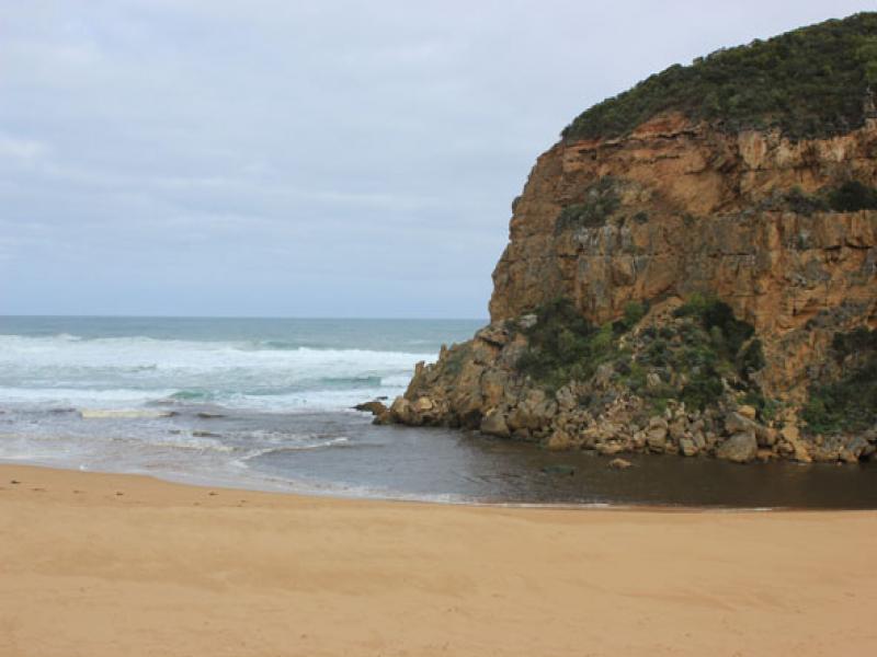
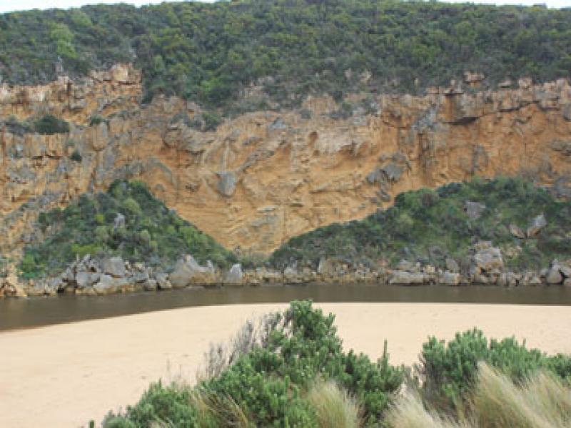
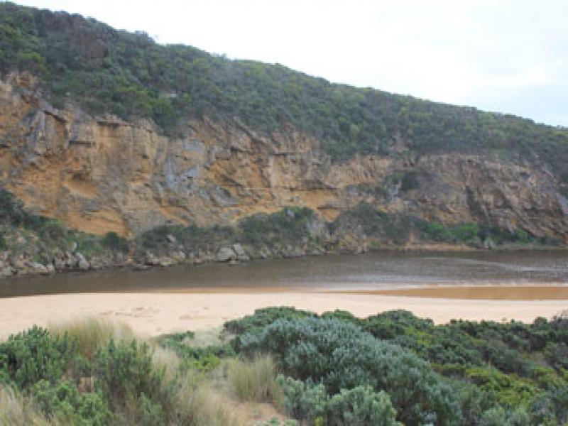
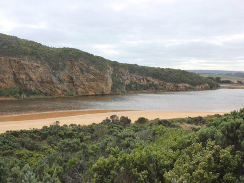
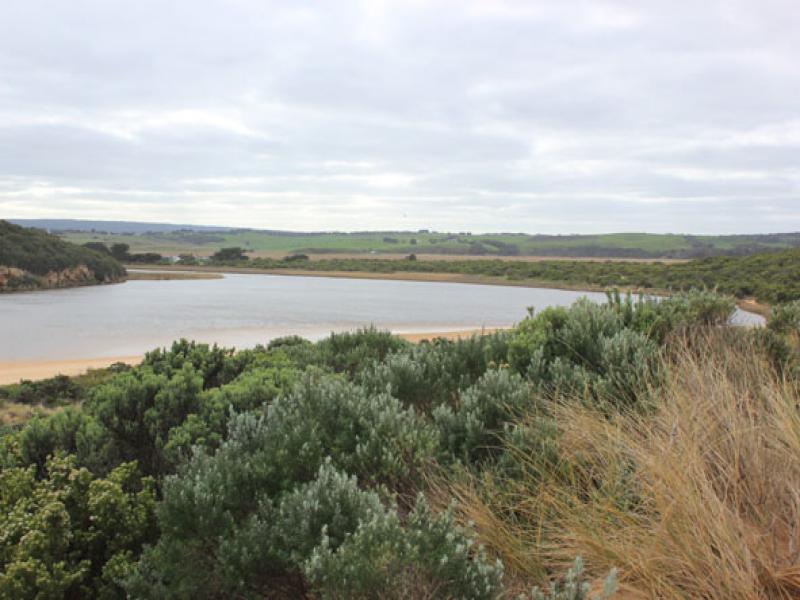
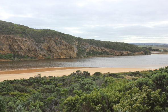
- Dark discharge flowing strongly out from mouth & to east all along beach. Debris & dark silt in swash line -Large amount of sand seen in breakers
- Recent release caused by heavy rainfall event increased flow
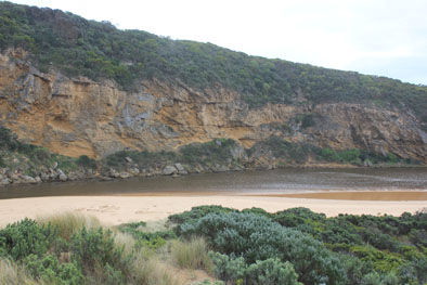
- Mouth wide & channel sheer sided - being modified by incoming waves
- Waves in all directions along beach with longshore drift across mouth
- Waves high up to dunes at east end
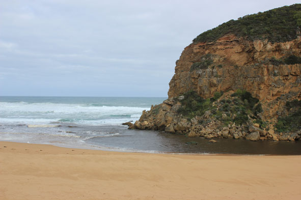
Mouth Observation
| Mouth state | Open |
|---|---|
| Previous | O O O O O O O O O O O O O O O O O O O O C C C C O O P C C O O O C C C C C C O O O P C O O O P O O O O O O O O O O O O O O |
| Flow Present? | Yes |
| Previous | Y Y Y Y Y Y Y Y Y Y Y Y Y Y Y Y Y Y Y Y N N N N Y Y Y N N Y Y Y N N N N N N Y Y Y Y N Y Y Y N Y Y Y Y Y Y Y Y Y Y Y Y Y |
| Flow Direction | Out |
| Previous | I O O O O O O O O O O O O O O O O O N N N N O O I N N O I O N N N N N N O O O I N O O O N O O O O O O I O I O O I |
| Above Sea | Above Estuary | |
|---|---|---|
| Berm Height (m) | ||
| Berm Length (m) |
Physical Condition
| Current | Mode | |
|---|---|---|
| Wind Direction | North-West | |
| Beaufort Scale | Moderate breeze | |
| Sea State | Very Rough |


All content, files, data and images provided by the EstuaryWatch Data Portal and Gallery are subject to a Creative Commons Attribution License
Content is made available to be used in any way, and should always attribute EstuaryWatch and www.estuarywatch.org.au