EstuaryWatch Data Portal
GMC Gellibrand River Estuary Mouth Observation Site
27 November 2015
Observation details
Overview
| Estuary | Gellibrand River Estuary |
|---|---|
| Site | Gellibrand River Estuary Mouth Observation Site |
| Observation ID | #9963 |
| Date and Time | Friday 27th November 2015 08:52am |
| Approved | Approved |
Notes
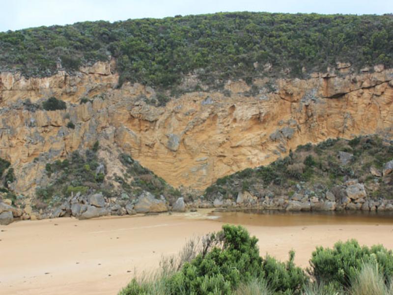
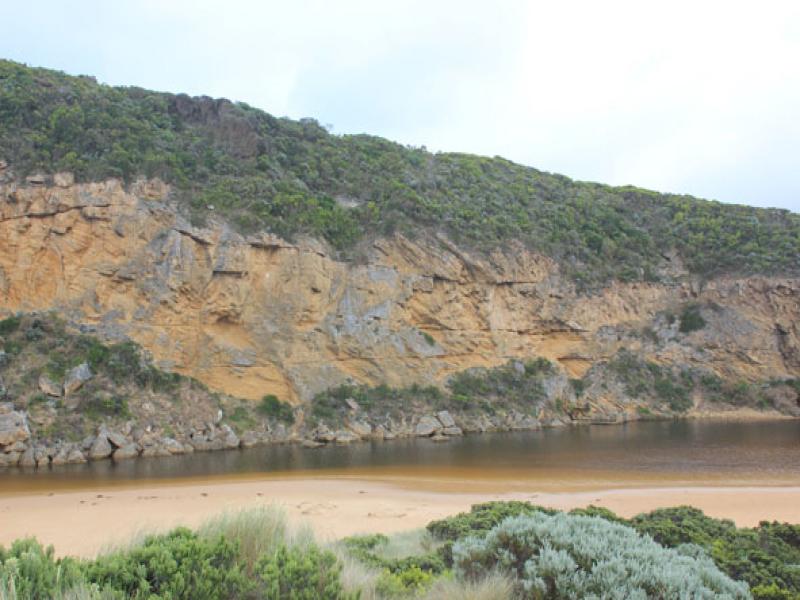
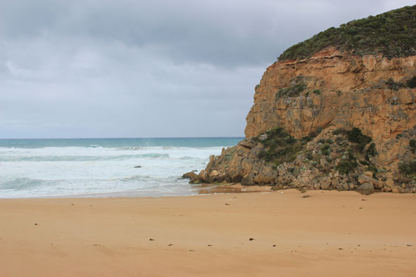
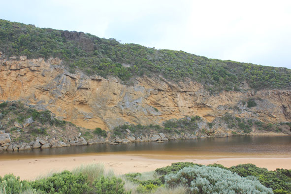
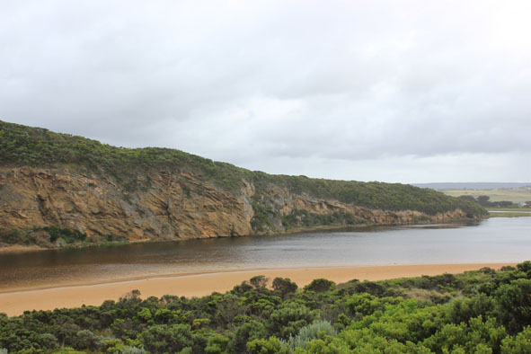
- Mouth barred but intermittent waves from rough sea over reaching the river mouth (no berm measurement taken)
- Sand build up almost covering rocks
- Sand stir in breakers out to sea, also to west
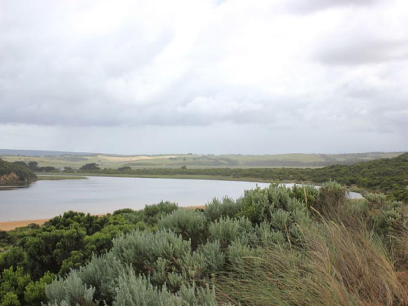
- Long shore drift across mouth
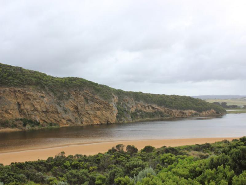
- Waves going high up on beach. Beach wide with gradual slope to ocean
- Cliff face near rocks is eroding from top (noted after 14/11/15)
Mouth Observation
| Mouth state | Closed |
|---|---|
| Previous | O O O C C C C O O P C C O O O C C C C C C O O O P C O O O P O O O O O O O O O O O O O O O O O O O O O O O O O O O O O O |
| Flow Present? | No |
| Previous | Y Y Y N N N N Y Y Y N N Y Y Y N N N N N N Y Y Y Y N Y Y Y N Y Y Y Y Y Y Y Y Y Y Y Y Y Y Y Y Y Y Y Y Y Y Y Y Y Y Y Y Y |
| Flow Direction | N/A |
| Previous | O O N N N N O O I N N O I O N N N N N N O O O I N O O O N O O O O O O I O I O O I O O O O O O O O O O O O O O O |
| Above Sea | Above Estuary | |
|---|---|---|
| Berm Height (m) | ||
| Berm Length (m) |
Physical Condition
| Current | Mode | |
|---|---|---|
| Wind Direction | South-West | |
| Beaufort Scale | Moderate breeze | |
| Sea State | Rough |


All content, files, data and images provided by the EstuaryWatch Data Portal and Gallery are subject to a Creative Commons Attribution License
Content is made available to be used in any way, and should always attribute EstuaryWatch and www.estuarywatch.org.au