EstuaryWatch Data Portal
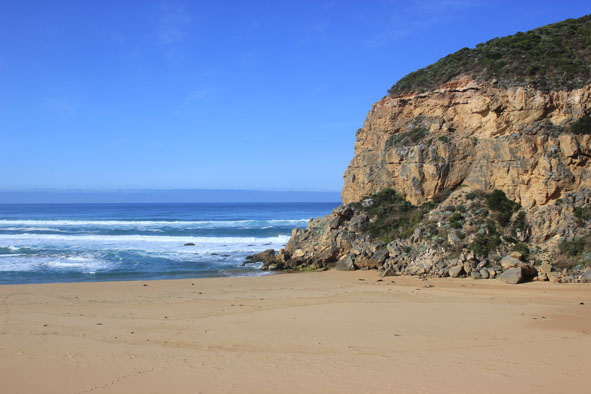
GMC Gellibrand River Estuary Mouth Observation Site
4 December 2015
Observation details
Overview
| Estuary | Gellibrand River Estuary |
|---|---|
| Site | Gellibrand River Estuary Mouth Observation Site |
| Observation ID | #9977 |
| Date and Time | Friday 4th December 2015 08:03am |
| Approved | Approved |
Notes
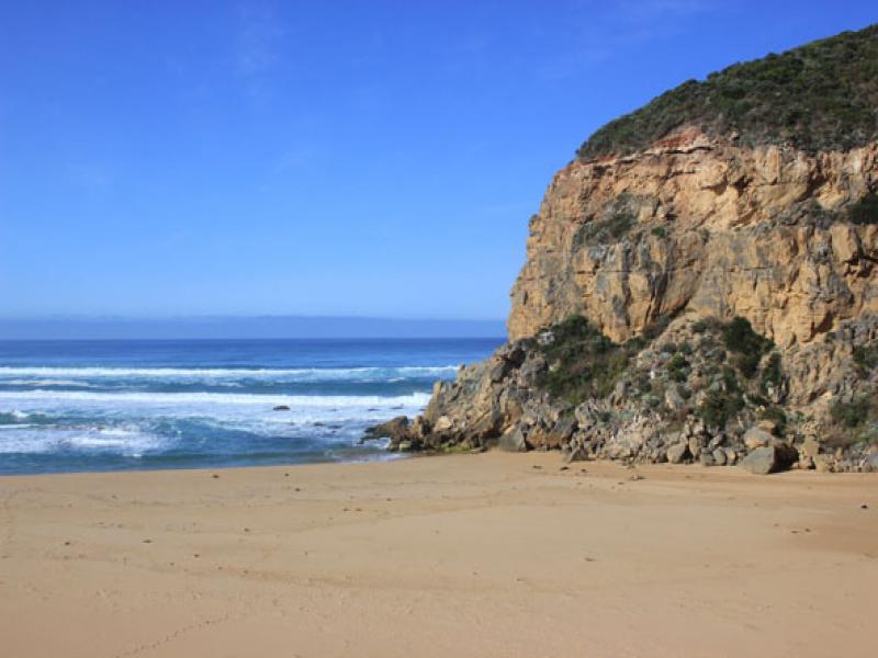
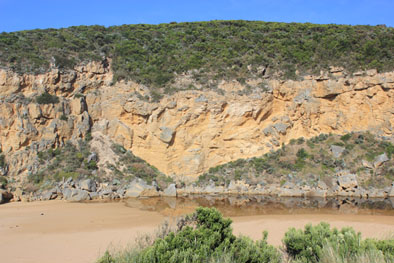
- Mouth barred but waves have entered at hi tide/rough sea
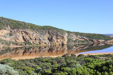
- Waves have been hi up on beach with some water travelling west to mouth behind shoreline into estuary & around mouth
- Berm measurements taken at lowest point of entry, sand much higher further east
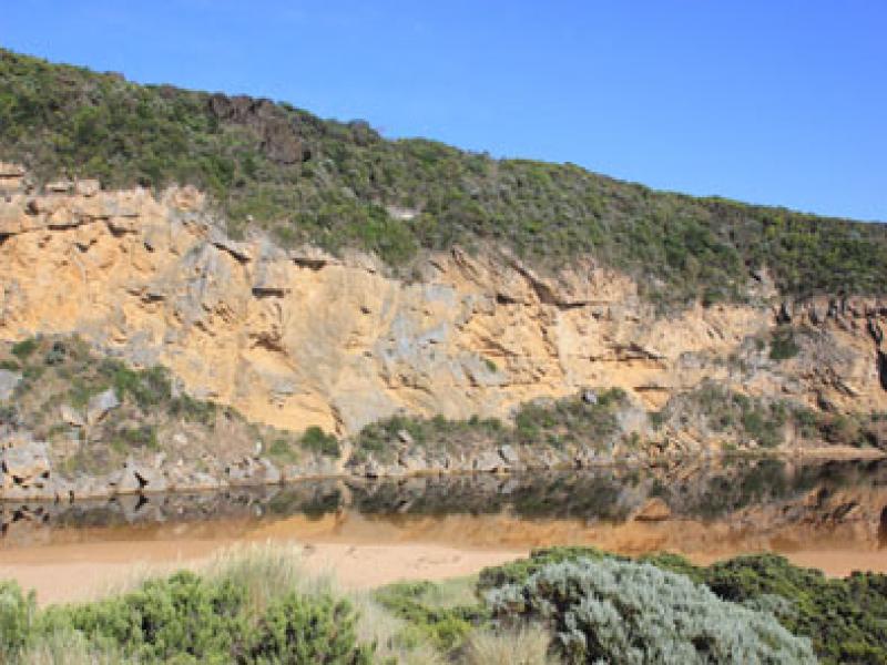
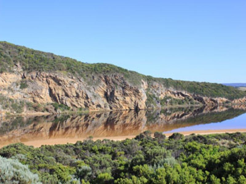
- Water level higher in estuary -low track under water but no other tracks or roads have water cover
- Flooding up to G4
Mouth Observation
| Mouth state | Closed |
|---|---|
| Previous | O O C C C C O O P C C O O O C C C C C C O O O P C O O O P O O O O O O O O O O O O O O O O O O O O O O O O O O O O O O C |
| Flow Present? | No |
| Previous | Y Y N N N N Y Y Y N N Y Y Y N N N N N N Y Y Y Y N Y Y Y N Y Y Y Y Y Y Y Y Y Y Y Y Y Y Y Y Y Y Y Y Y Y Y Y Y Y Y Y Y N |
| Flow Direction | N/A |
| Previous | O N N N N O O I N N O I O N N N N N N O O O I N O O O N O O O O O O I O I O O I O O O O O O O O O O O O O O O N |
| Above Sea | Above Estuary | |
|---|---|---|
| Berm Height (m) | 0.5m | 0.3m |
| Berm Length (m) |
Physical Condition
| Current | Mode | |
|---|---|---|
| Wind Direction | South-East | |
| Beaufort Scale | Moderate breeze | |
| Sea State | Moderate |


All content, files, data and images provided by the EstuaryWatch Data Portal and Gallery are subject to a Creative Commons Attribution License
Content is made available to be used in any way, and should always attribute EstuaryWatch and www.estuarywatch.org.au