EstuaryWatch Data Portal
GMC Gellibrand River Estuary Mouth Observation Site
12 December 2015
Observation details
Overview
| Estuary | Gellibrand River Estuary |
|---|---|
| Site | Gellibrand River Estuary Mouth Observation Site |
| Observation ID | #9988 |
| Date and Time | Saturday 12th December 2015 09:30am |
| Approved | Approved |
Notes
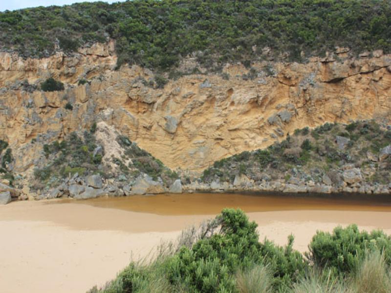
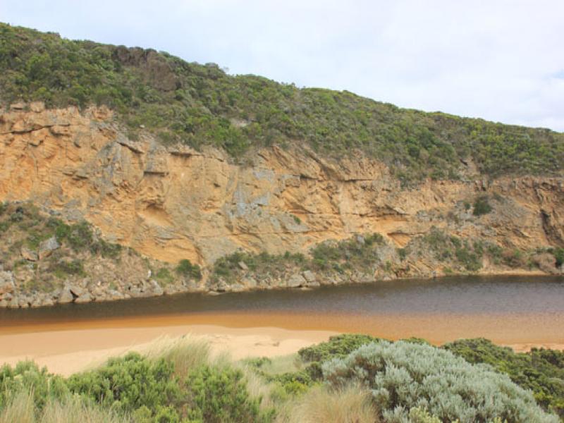
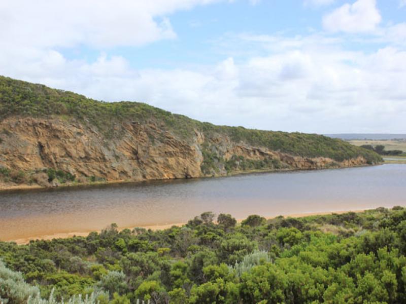
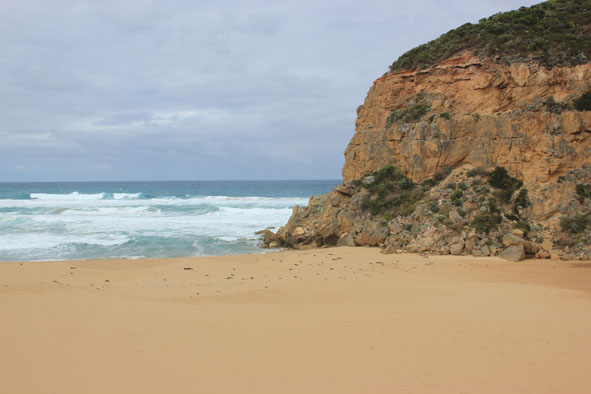
- Mouth barred but waves over at hi tide (1.17) & rough sea
- Waves over berm & have travelled west along beach to river. This area is very wet & soft
- Sand on beach projecting out to sea about 1/3rd east of cliff where erosion continues
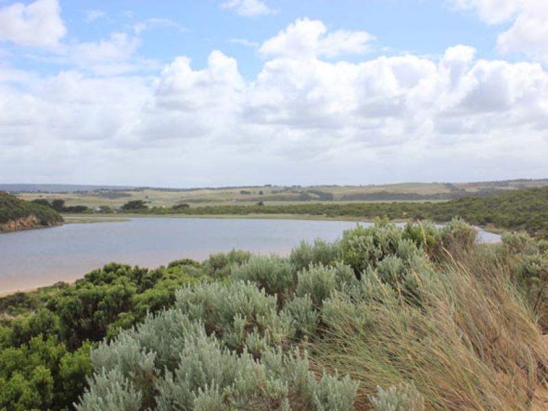
- Water in estuary higher but no water over roads (to edge of road at flood markers OOR) Only low track has deep water
Mouth Observation
| Mouth state | Closed |
|---|---|
| Previous | O C C C C O O P C C O O O C C C C C C O O O P C O O O P O O O O O O O O O O O O O O O O O O O O O O O O O O O O O O C C |
| Flow Present? | No |
| Previous | Y N N N N Y Y Y N N Y Y Y N N N N N N Y Y Y Y N Y Y Y N Y Y Y Y Y Y Y Y Y Y Y Y Y Y Y Y Y Y Y Y Y Y Y Y Y Y Y Y Y N N |
| Flow Direction | N/A |
| Previous | N N N N O O I N N O I O N N N N N N O O O I N O O O N O O O O O O I O I O O I O O O O O O O O O O O O O O O N N |
| Above Sea | Above Estuary | |
|---|---|---|
| Berm Height (m) | ||
| Berm Length (m) |
Physical Condition
| Current | Mode | |
|---|---|---|
| Wind Direction | South | |
| Beaufort Scale | Moderate breeze | |
| Sea State | Rough |


All content, files, data and images provided by the EstuaryWatch Data Portal and Gallery are subject to a Creative Commons Attribution License
Content is made available to be used in any way, and should always attribute EstuaryWatch and www.estuarywatch.org.au