EstuaryWatch Data Portal
Observation details
Overview
| Estuary | Merri River Estuary |
|---|---|
| Site | Rutledges Cutting |
| Observation ID | #5090 |
| Date and Time | Saturday 12th July 2014 12:00pm |
| Approved | Approved |
Notes
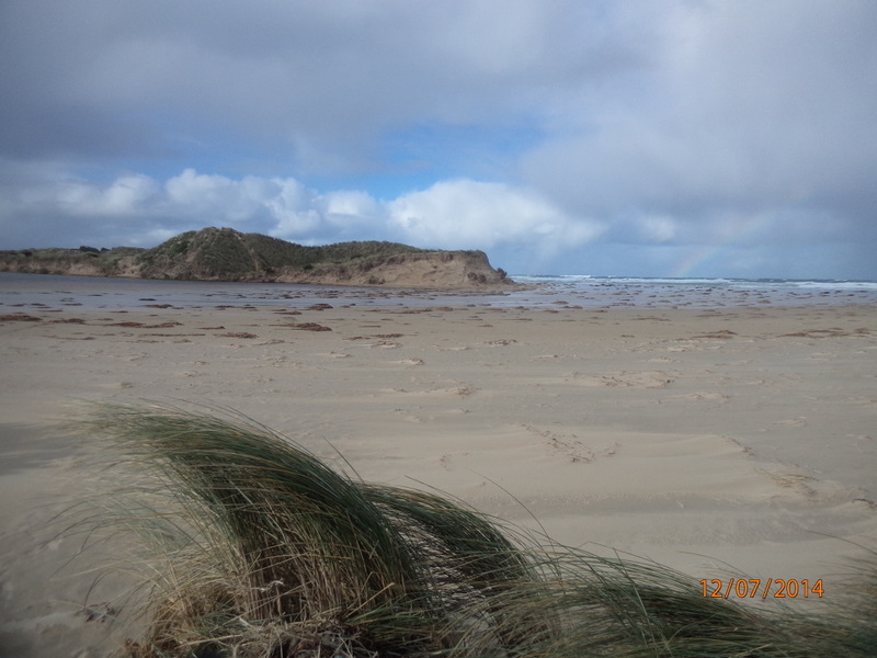
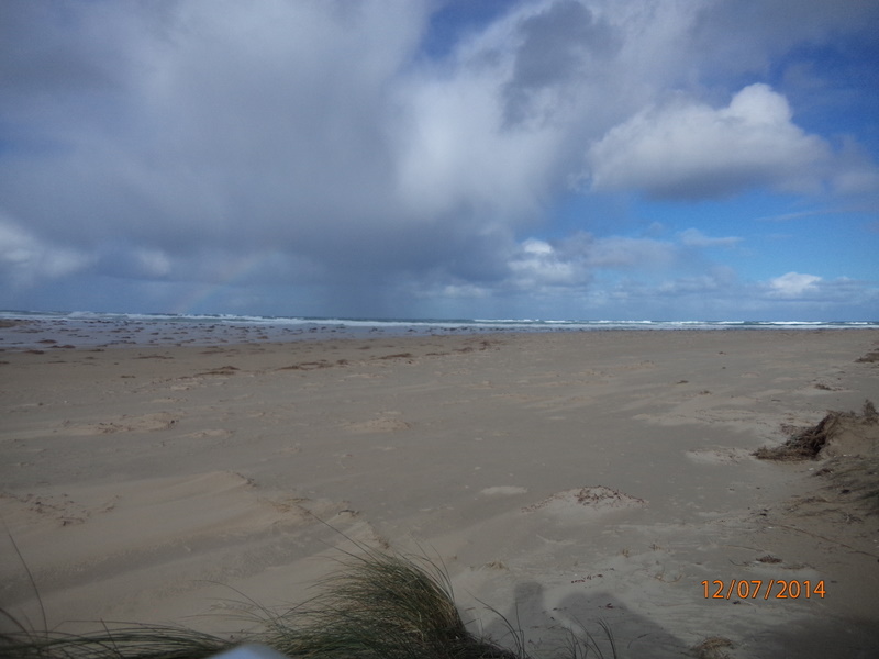
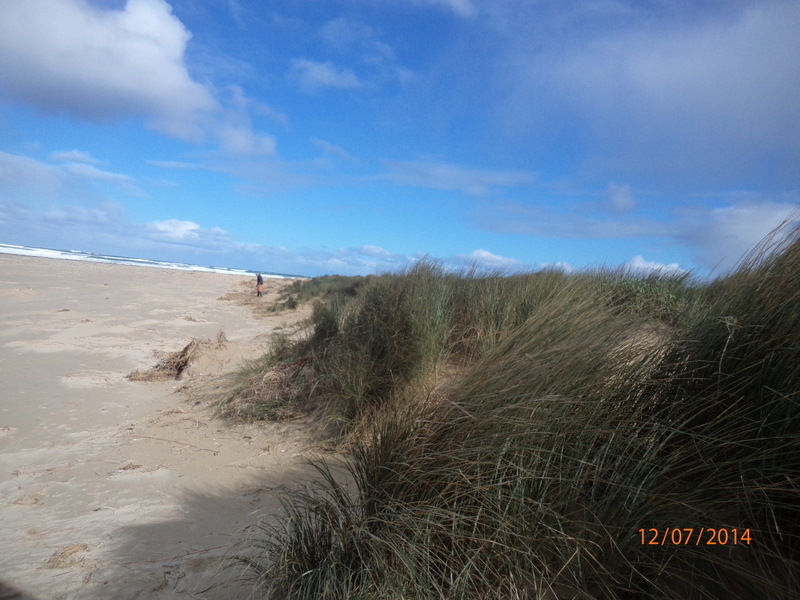
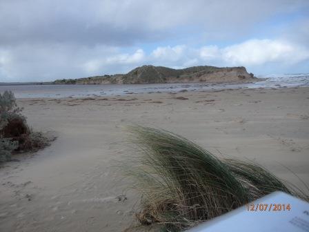
Severe erosion on intertidal and dune system. No berm reading as fresh and sea water meeting. Saltwater action from tip of eastern headland to just below dunes was very broad. Photos on camera show extent of erosion. Main dune has receded by approx two metres. Sea weed and coastal grasses deposited among dunes.
ps.. Extreme weather event 24th June 2014


All content, files, data and images provided by the EstuaryWatch Data Portal and Gallery are subject to a Creative Commons Attribution License
Content is made available to be used in any way, and should always attribute EstuaryWatch and www.estuarywatch.org.au