EstuaryWatch Data Portal
Site details
Overview
| Estuary | Merriman Creek |
|---|---|
| CMA | West Gippsland CMA |
| Type | Photopoint |
| Site code | MCp1 |
| Site name | Merriman Creek, Photopoint |
| Nearest road and town | Seaspray (Boat Ramp) |
| Description |
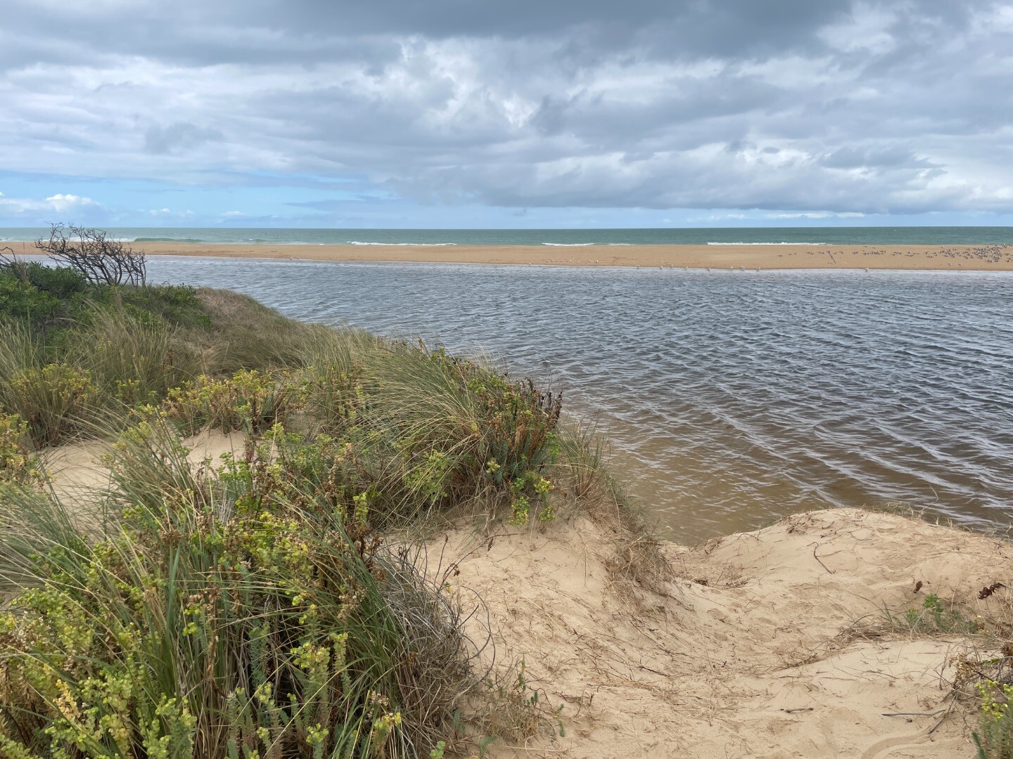
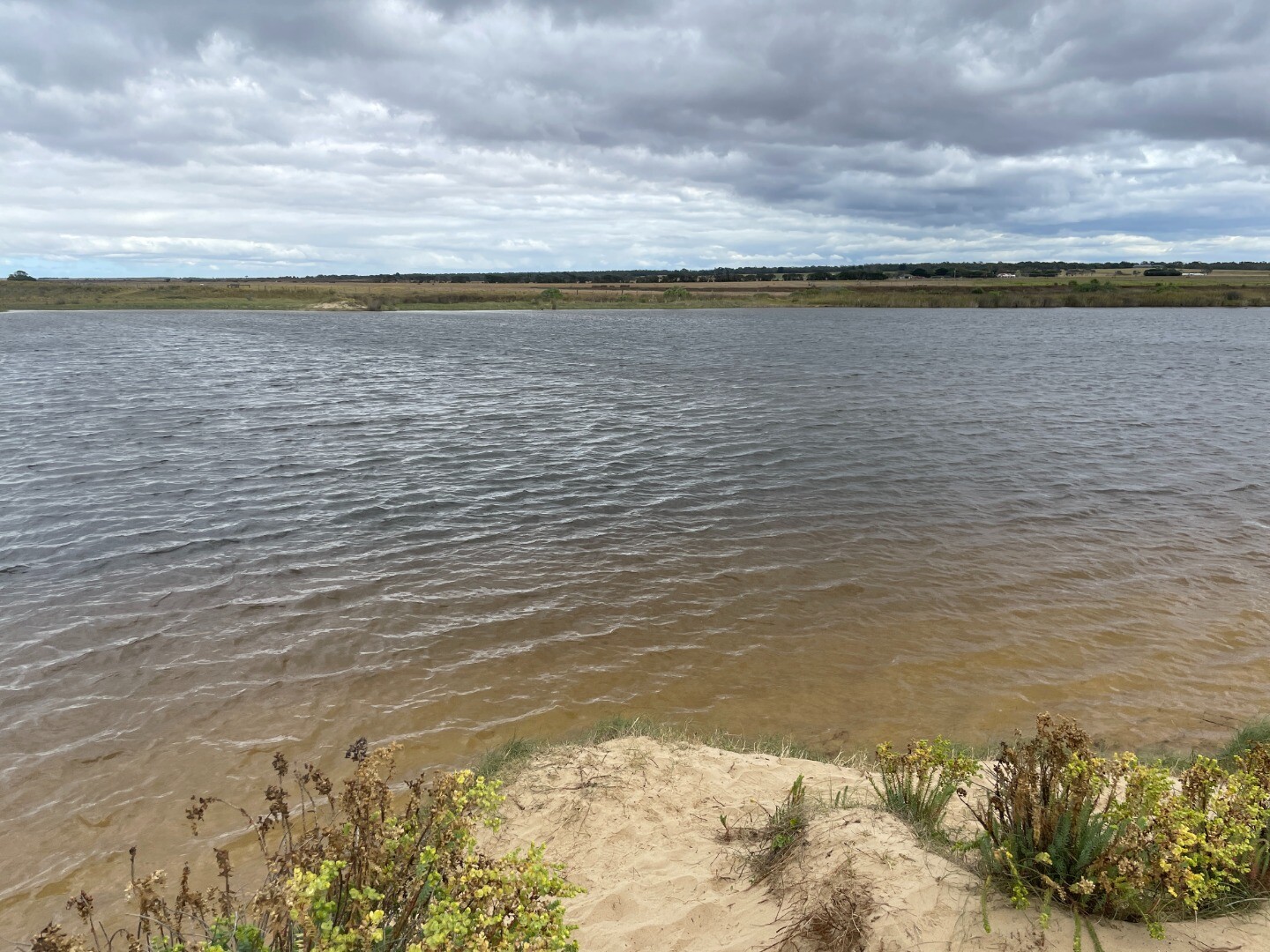
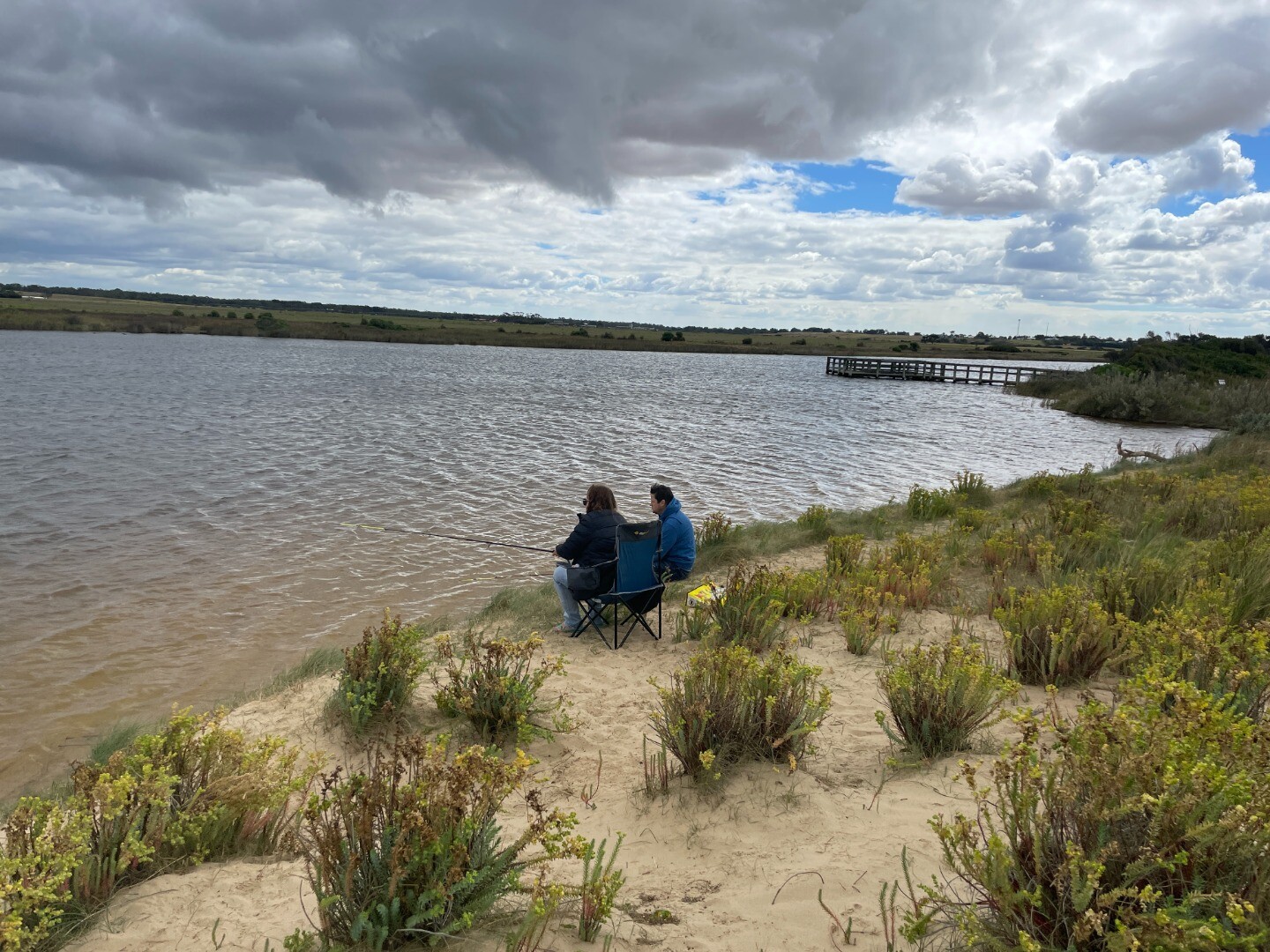
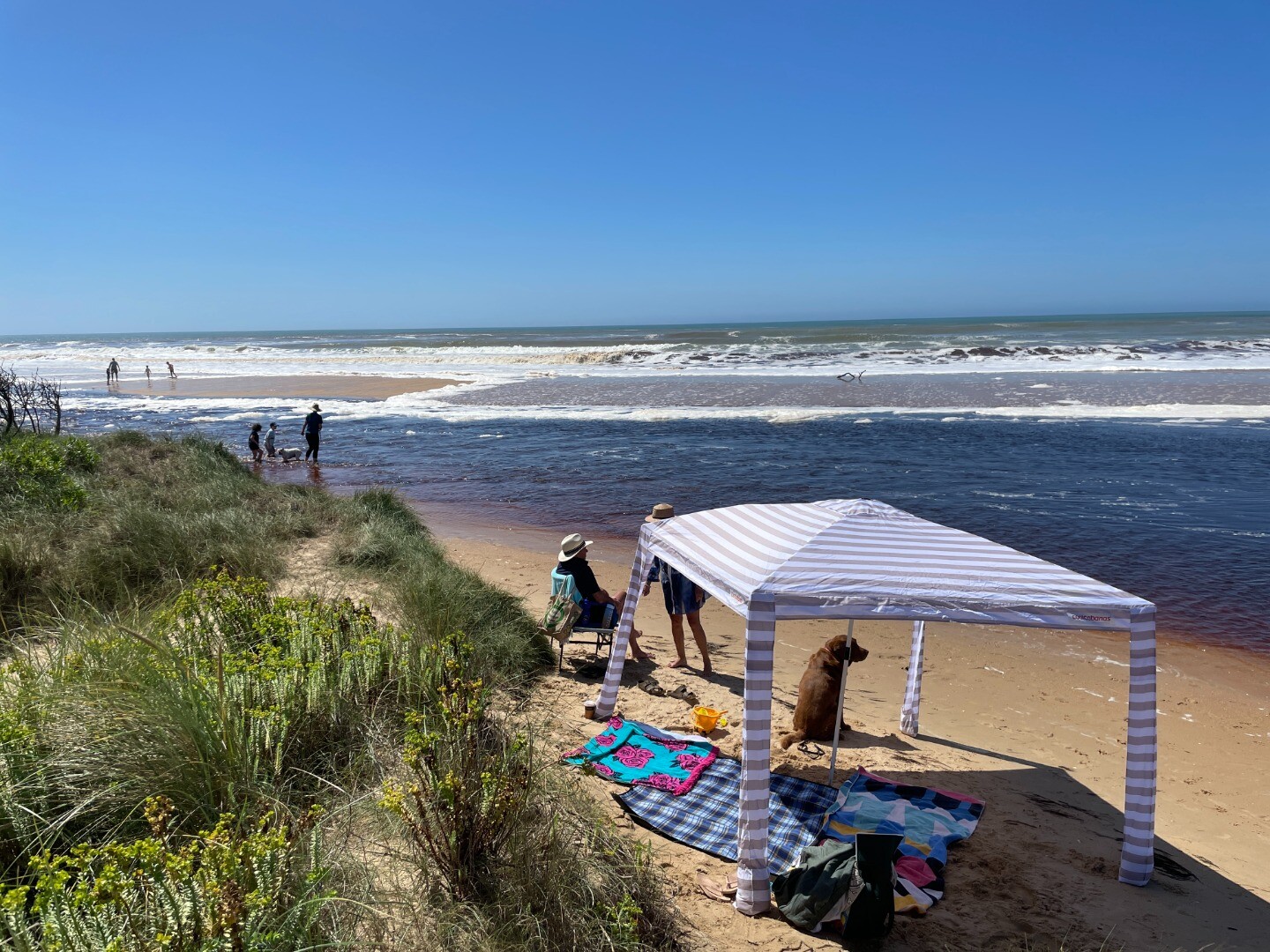
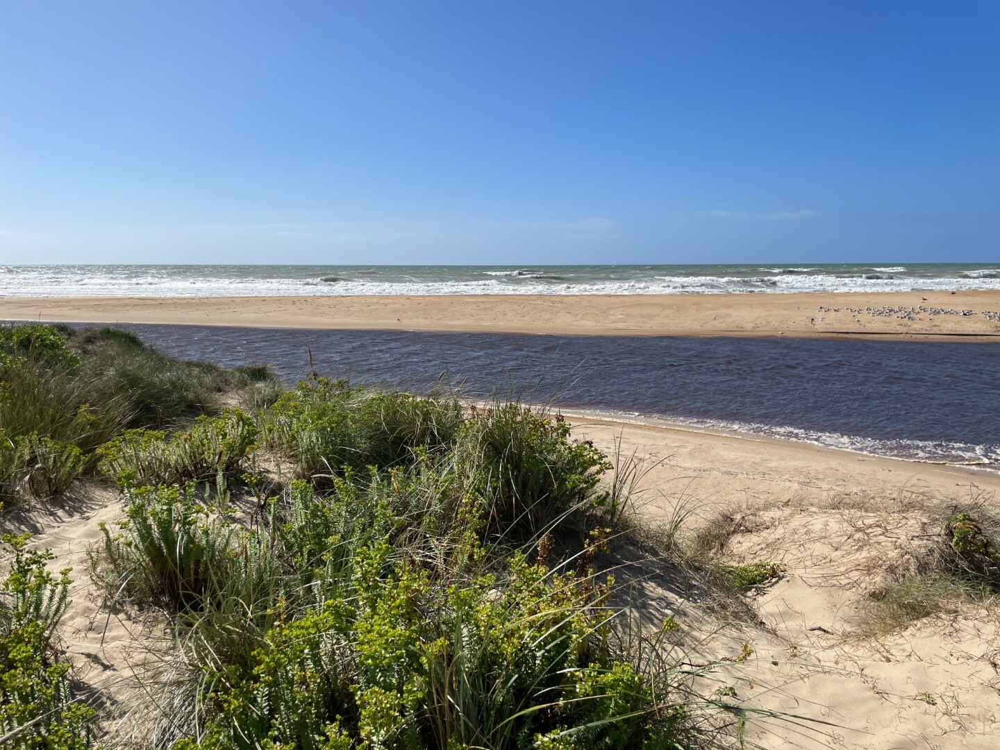
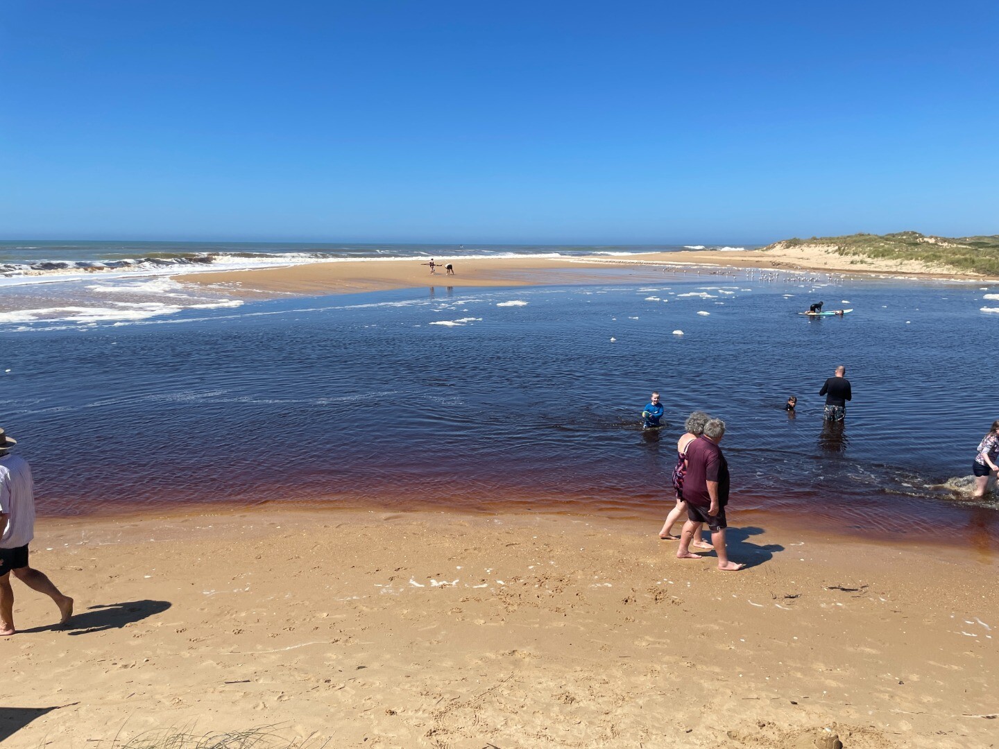
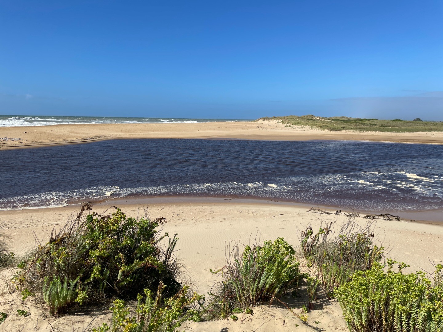
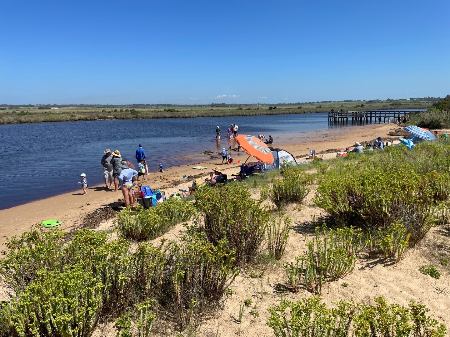
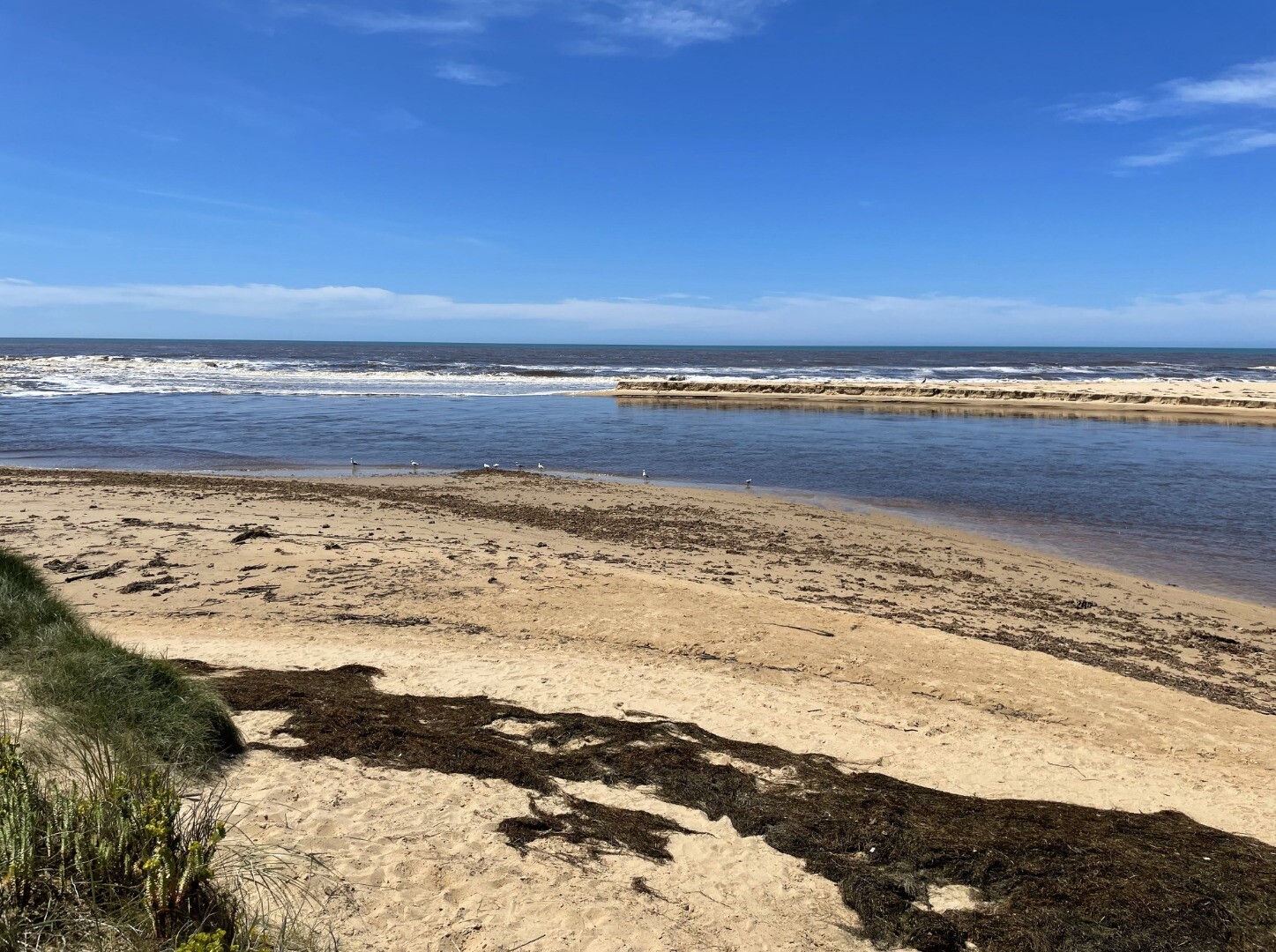
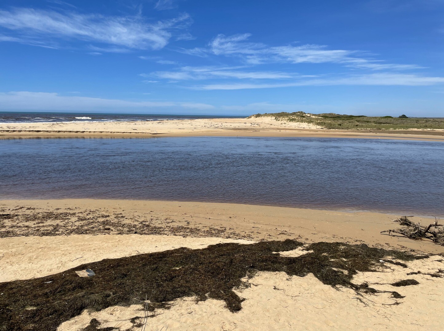
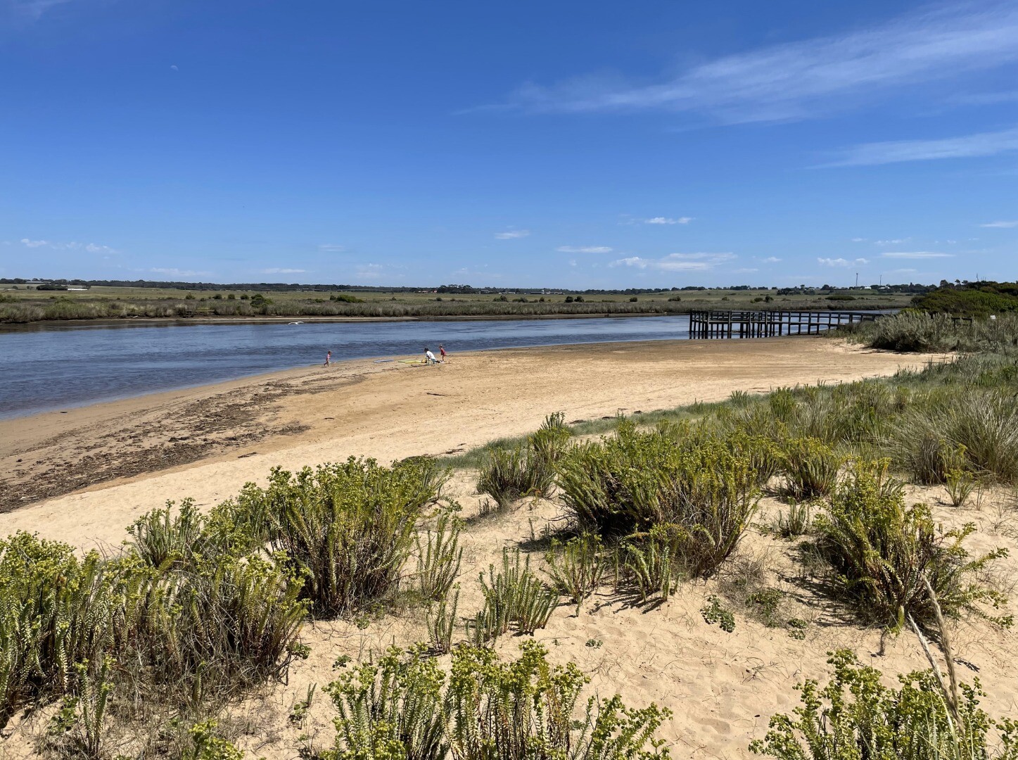
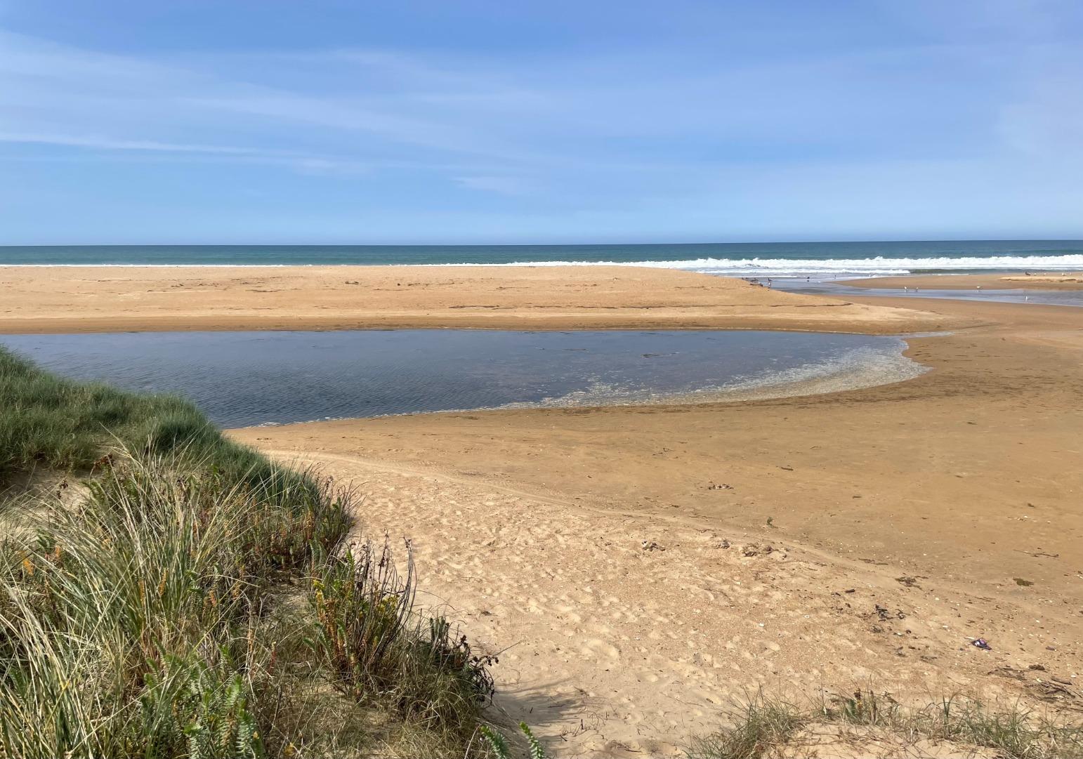
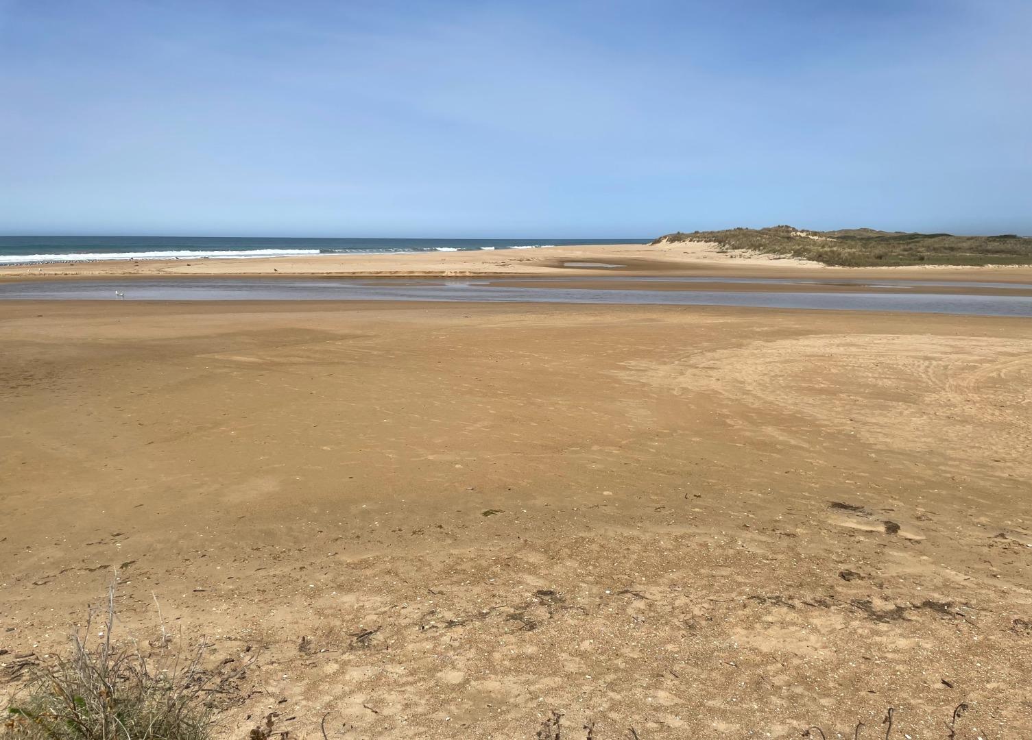
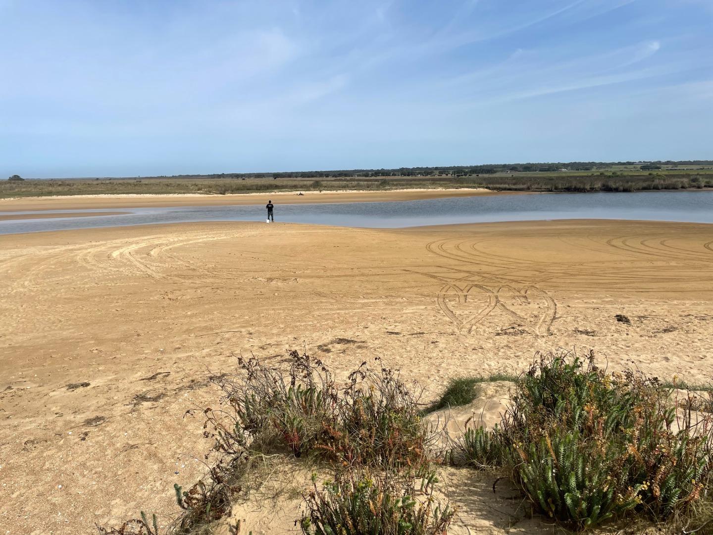
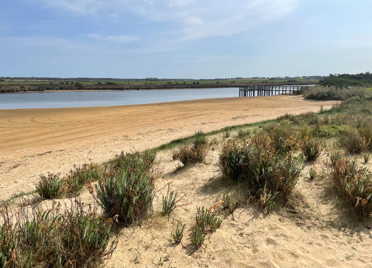
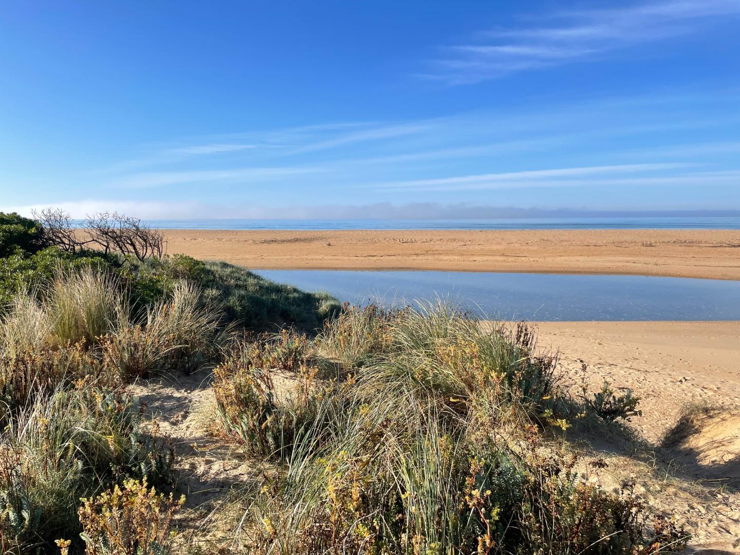
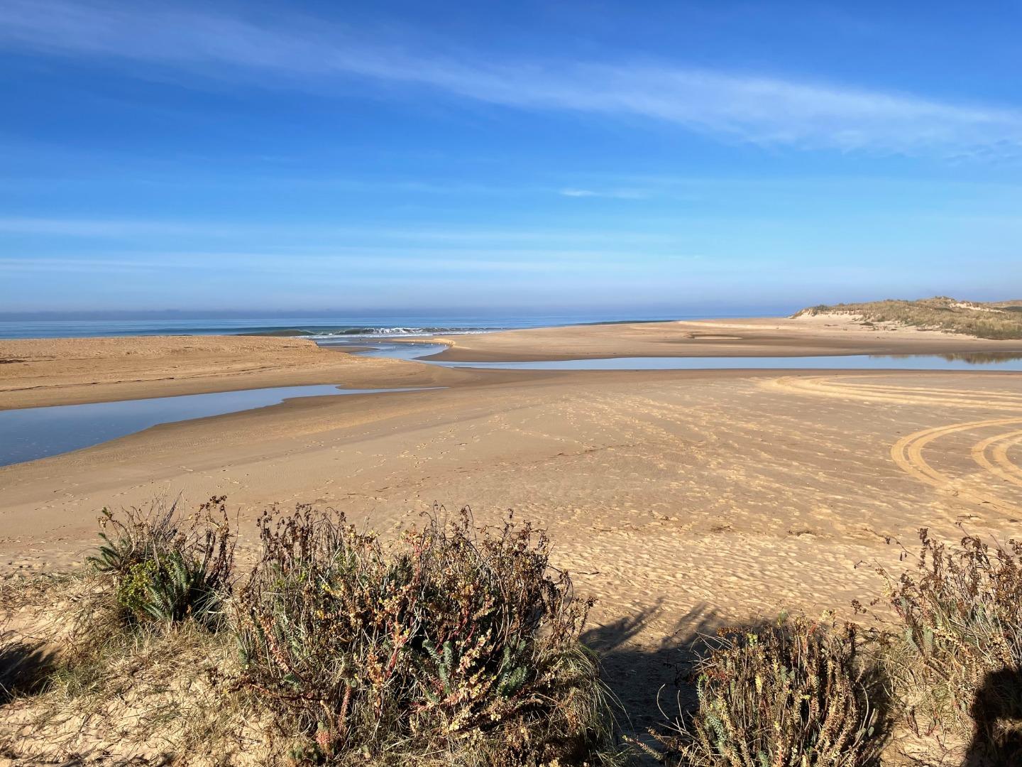
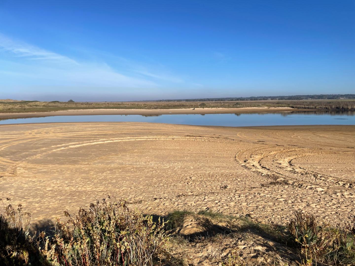
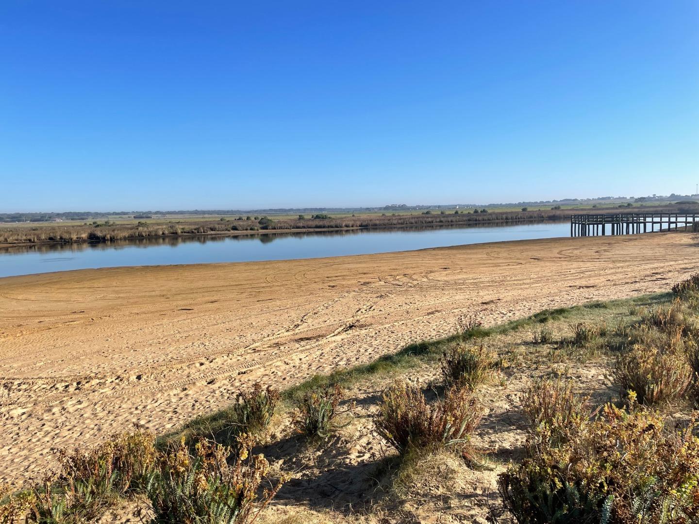
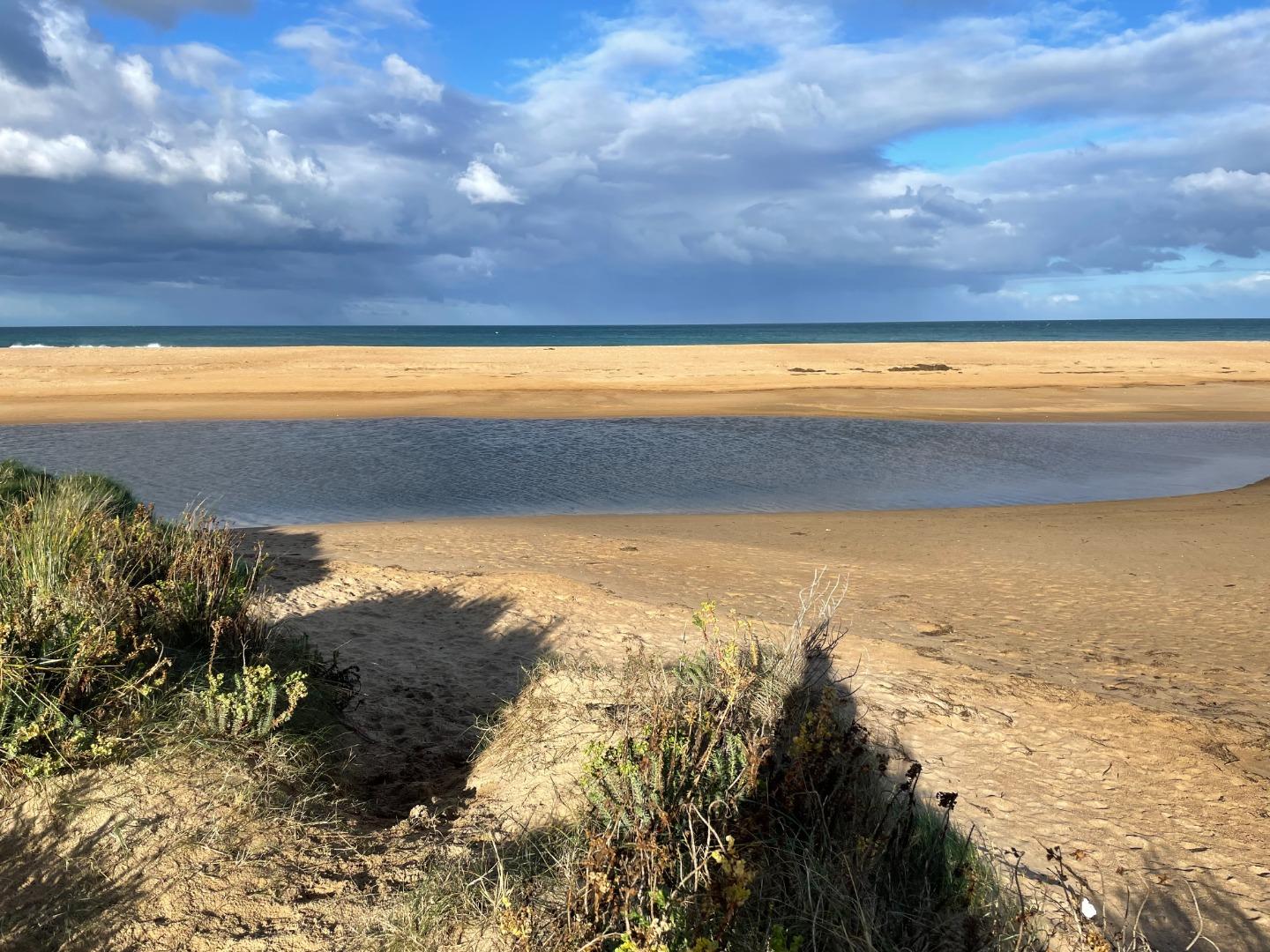
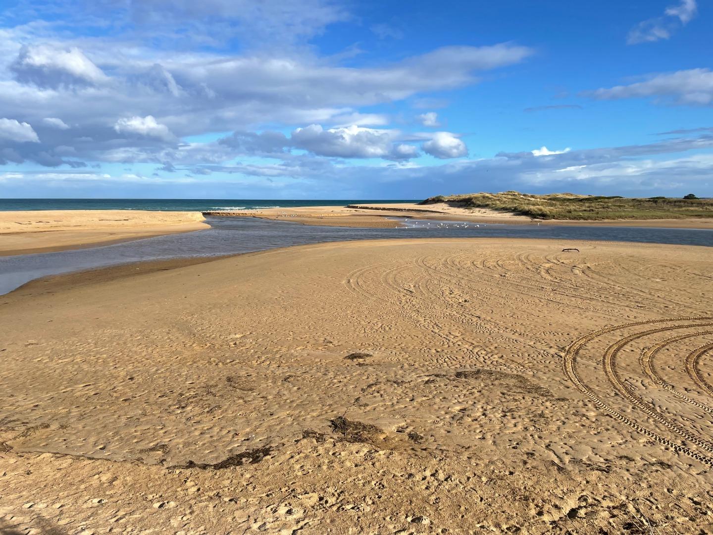
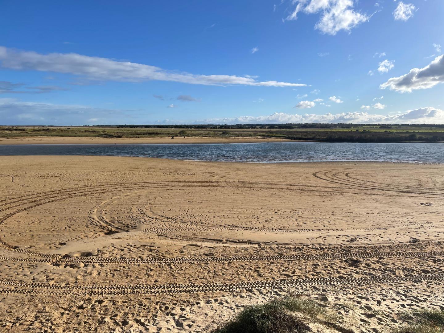
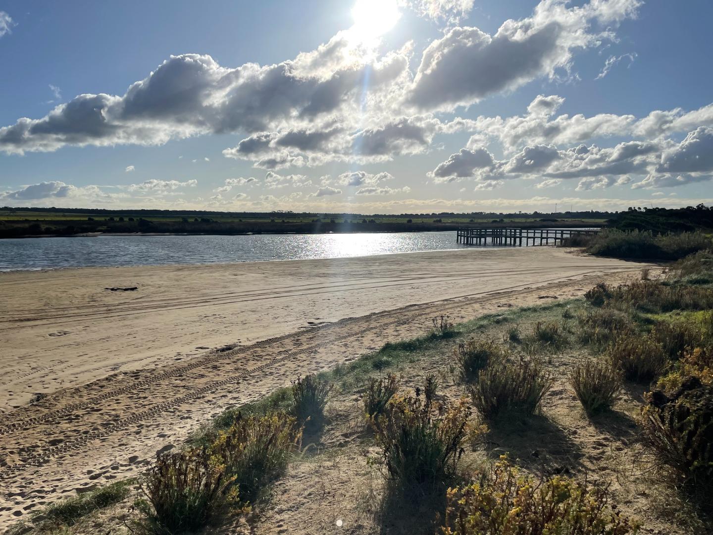
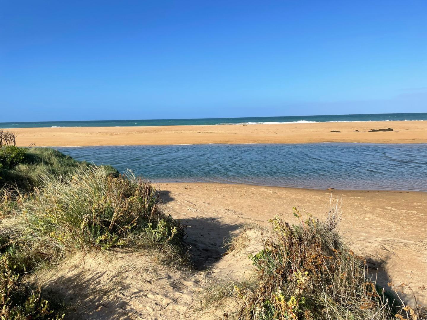
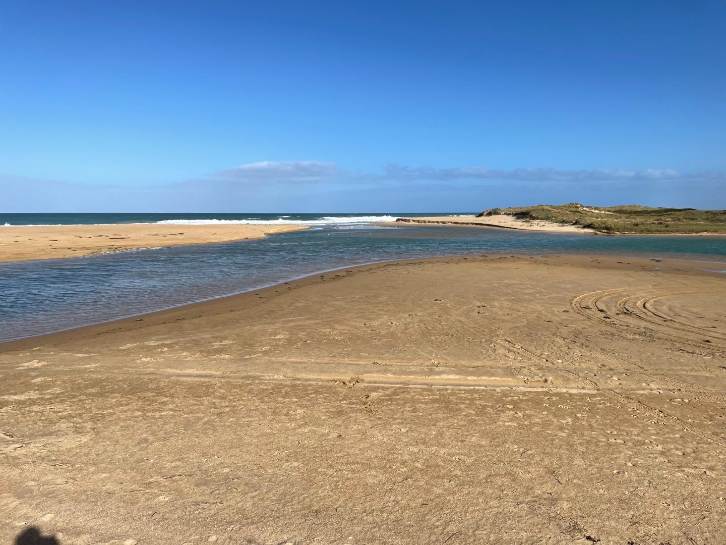
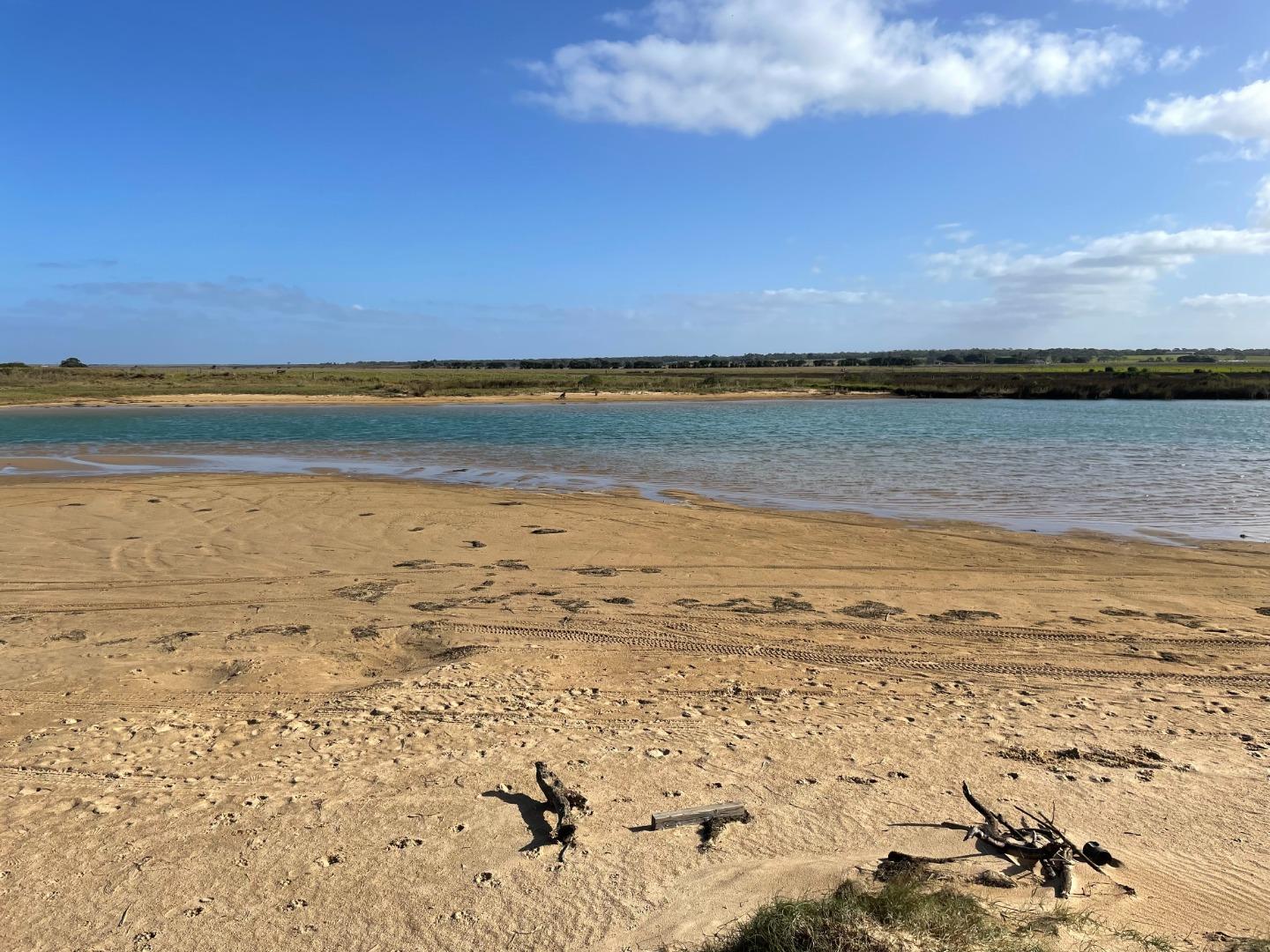
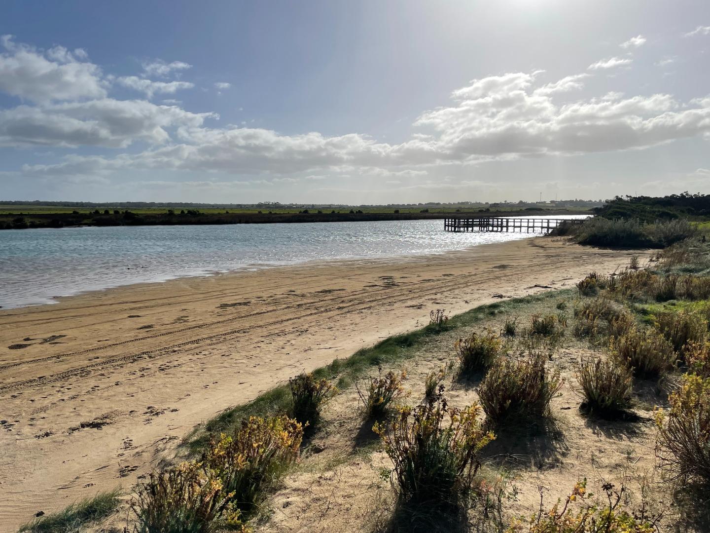
Merriman Creek Estuary is a wave dominated estuary. Due to its location in a rain shadow it does not receive regular inundations but is known to close. Anecdotal evidence suggests concerned residents will open the estuary themselves if they see fit. A popular site for fishermen, surfers and kayakers alike.
|
| Site access |
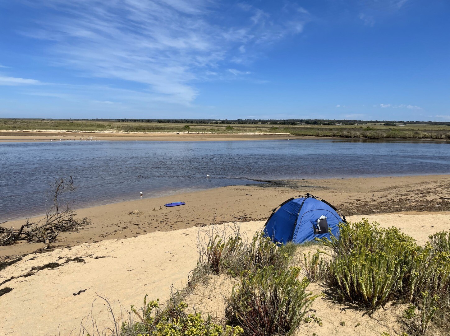
Access from boat ramp carpark. Walk down onto the foredune at the point where the river meets the beach. From this vantage point you will be able to take photos of the photopoint |
| Land use |
|
| Land use description |
Coastal tourist town |
| Status | Active |
| Observation history | 09-11-2020 - 10-04-2024 |
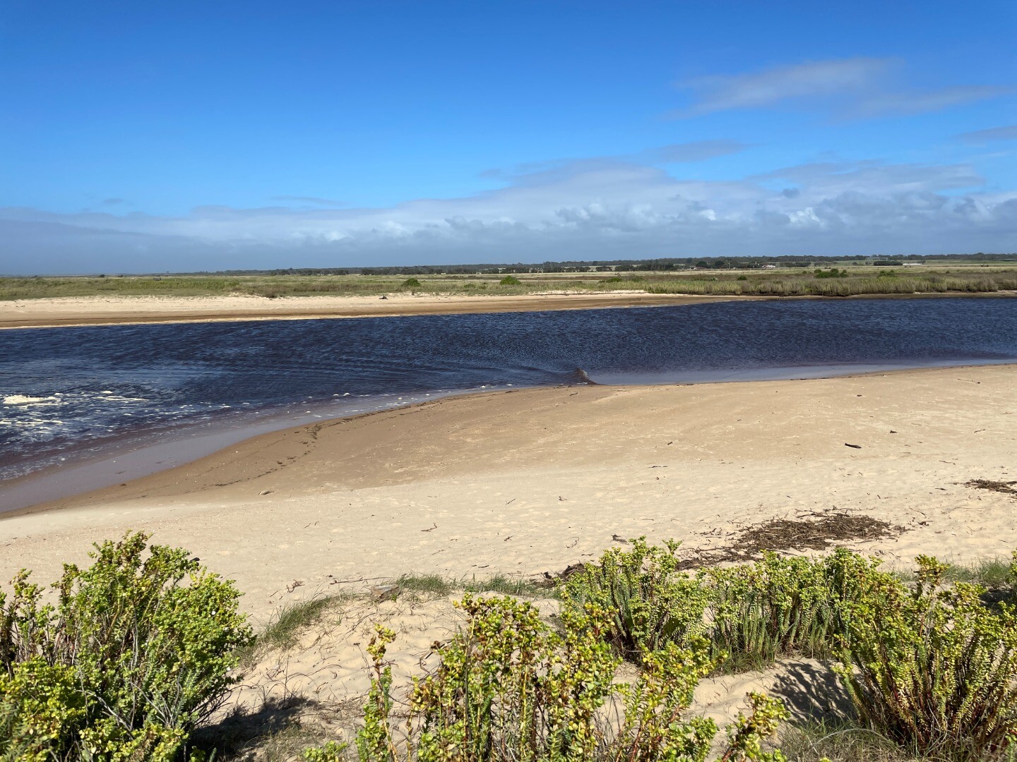
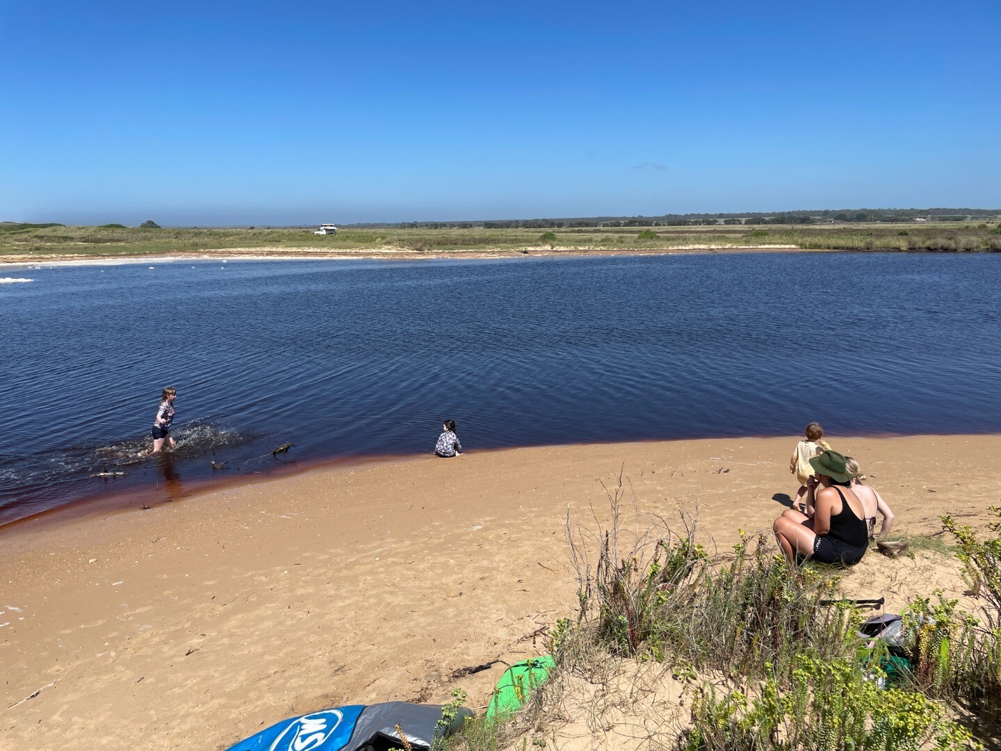
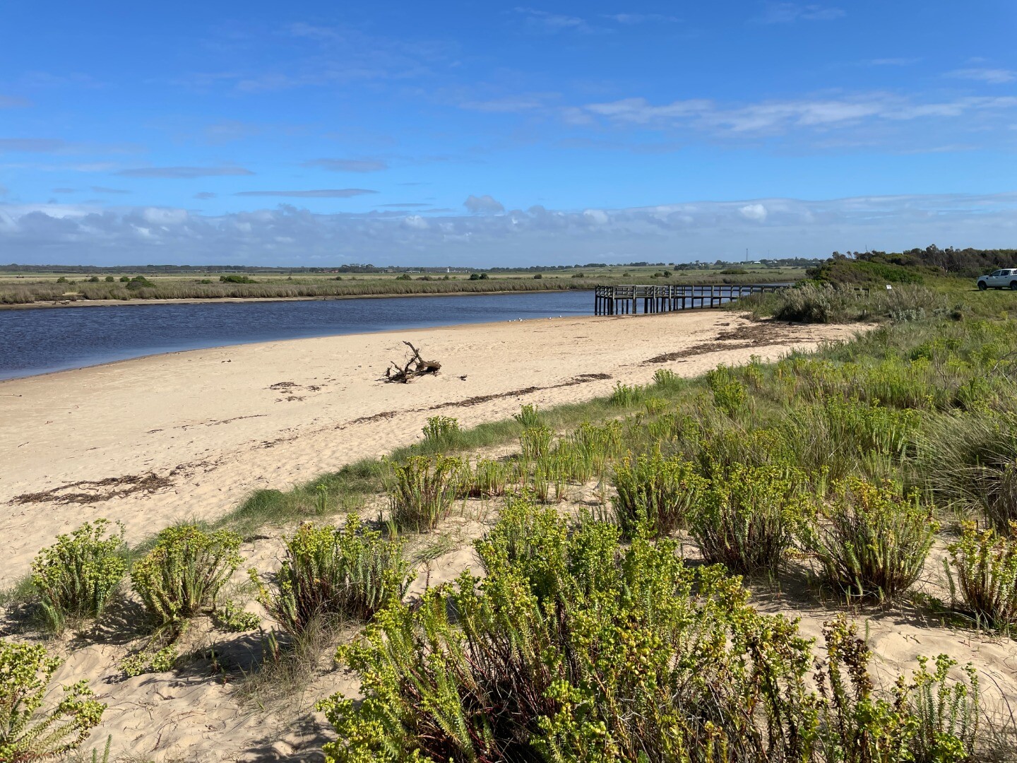
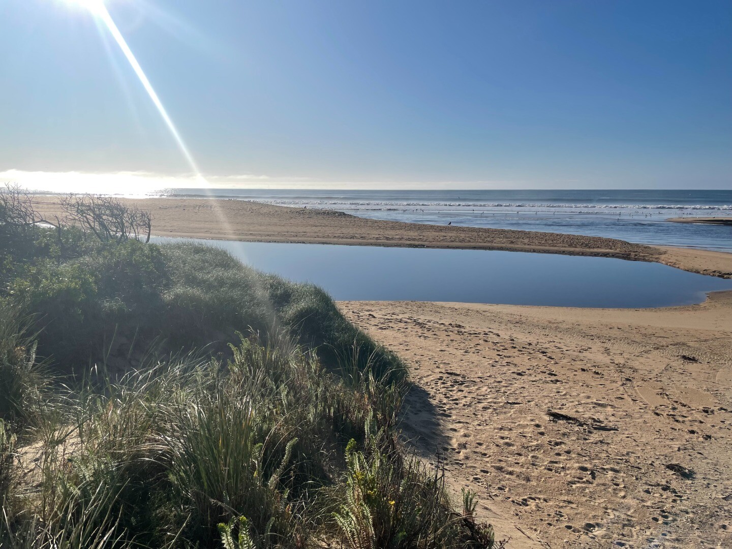
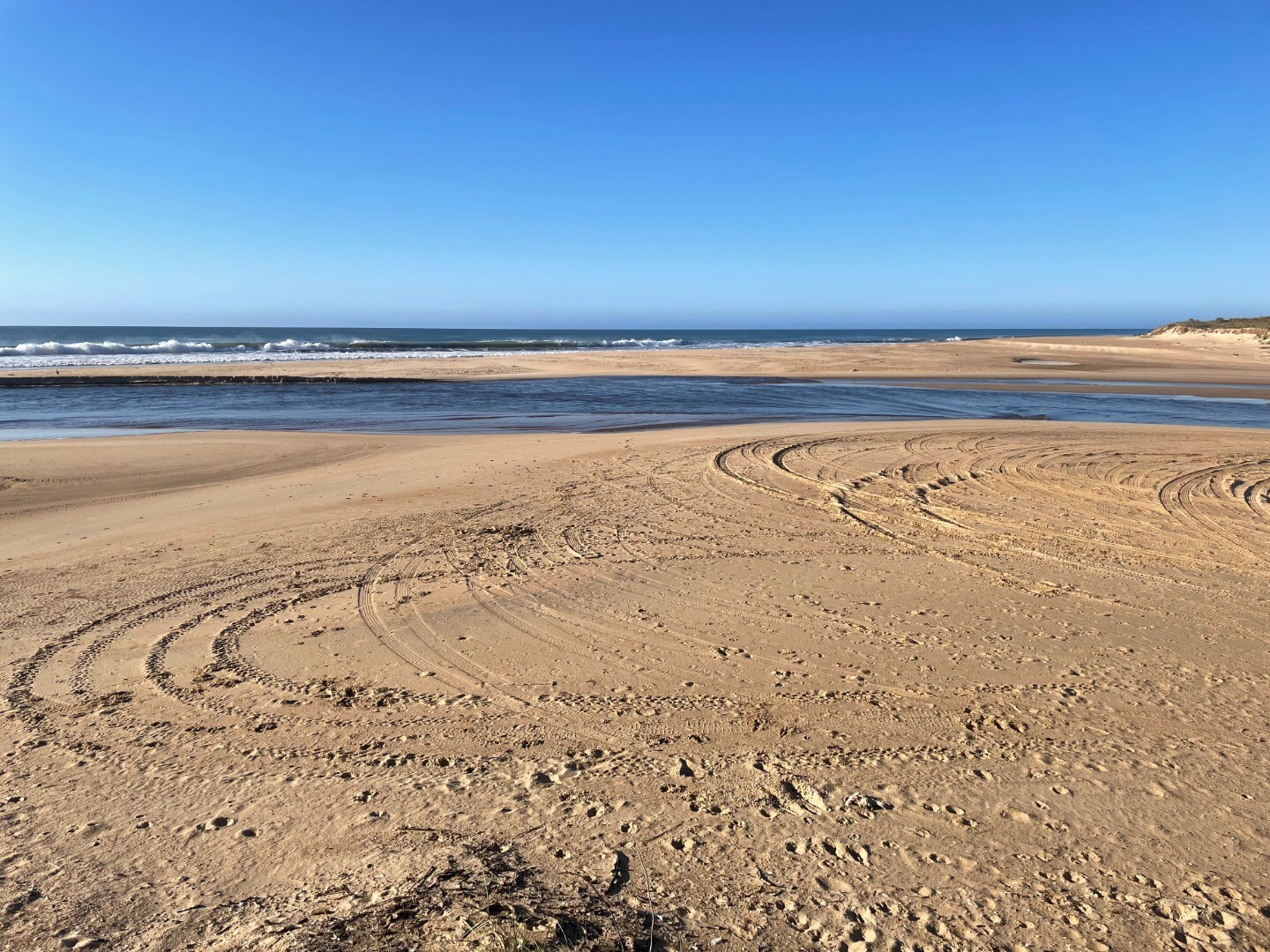
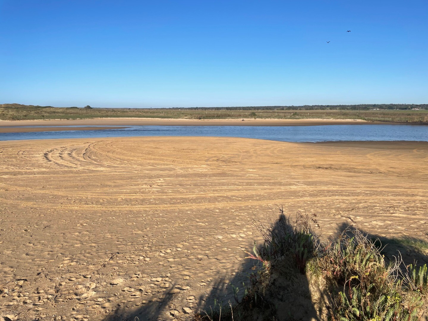
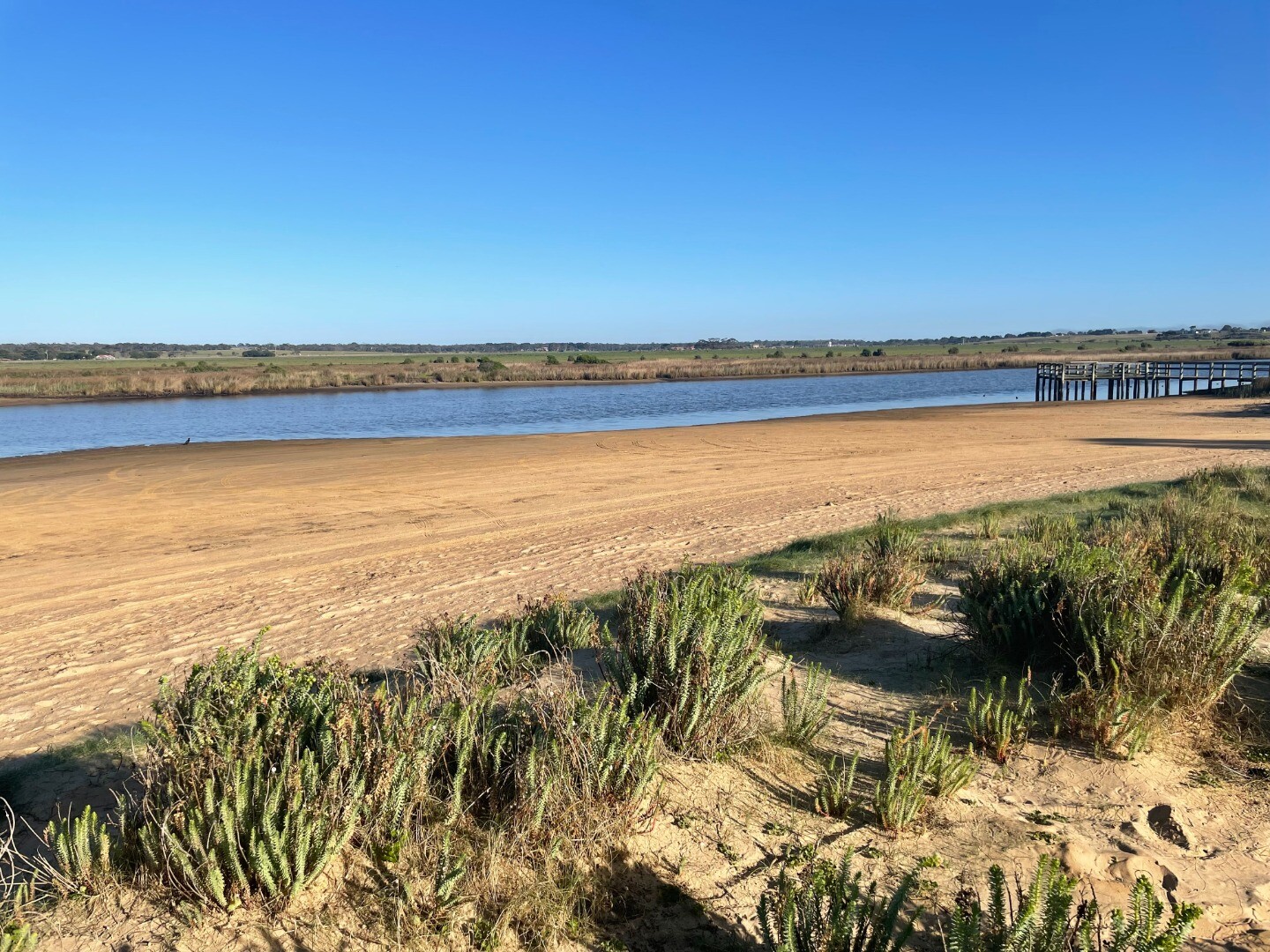
Photopoint photos
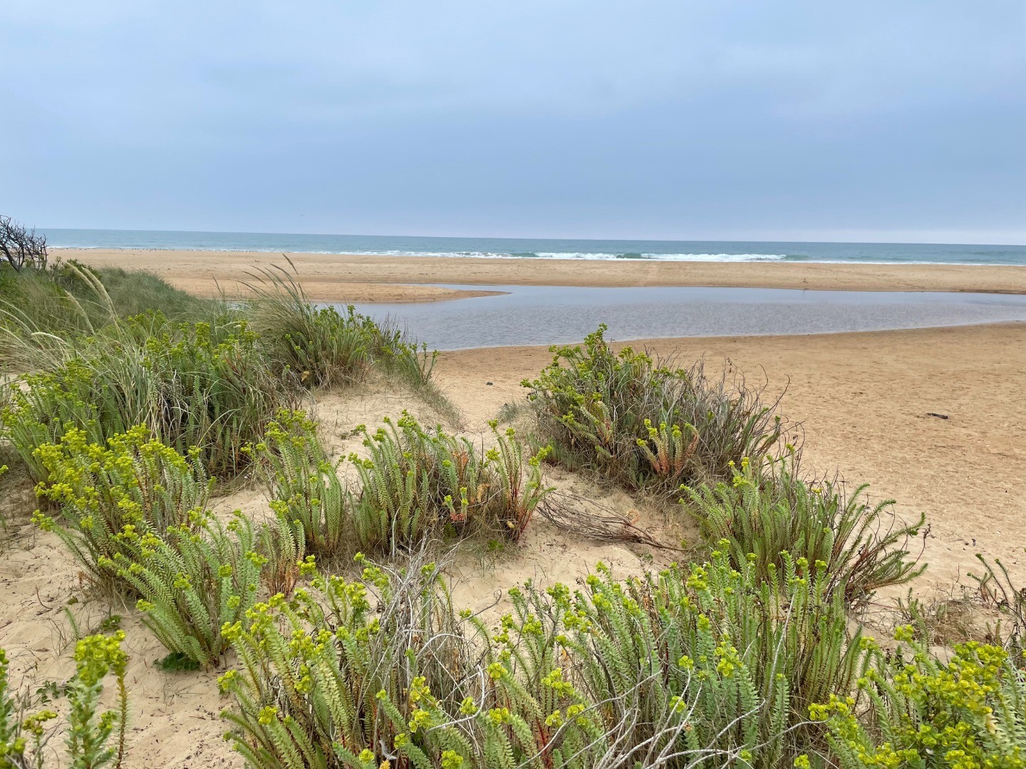
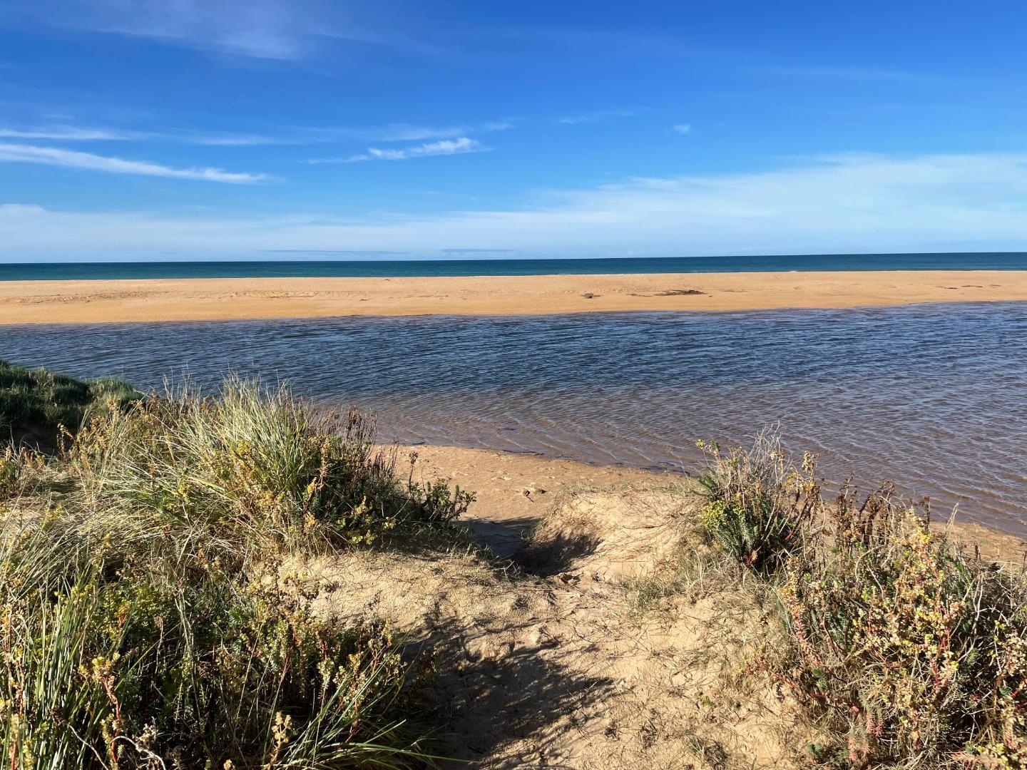
Photopoint MCp1 10-04-2024
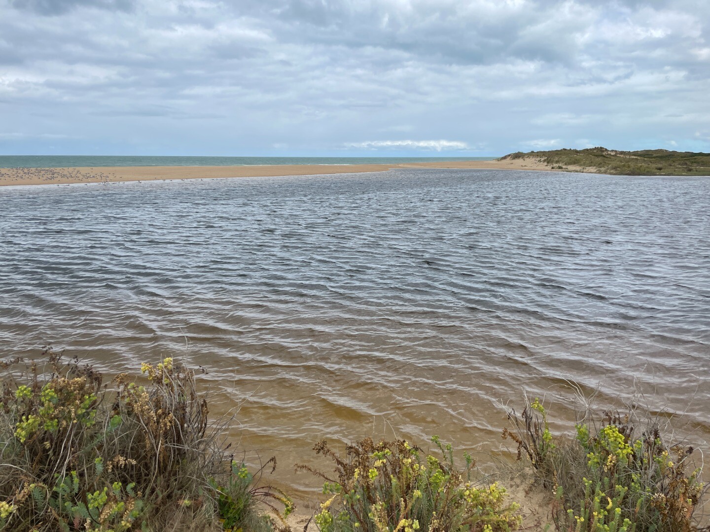
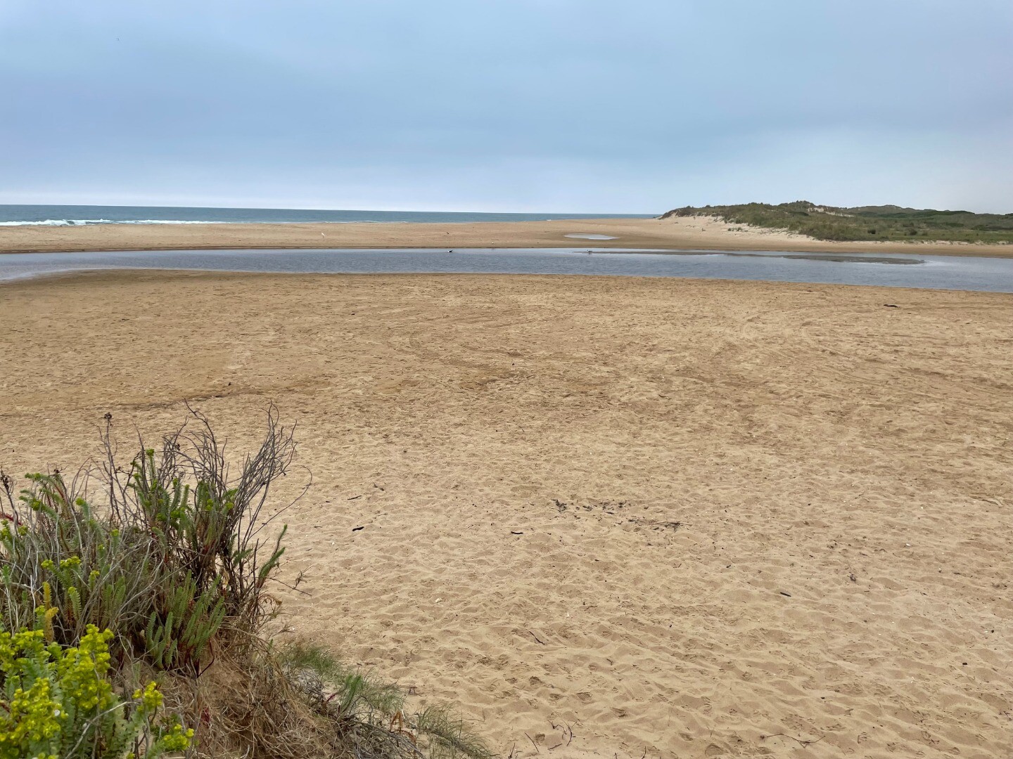
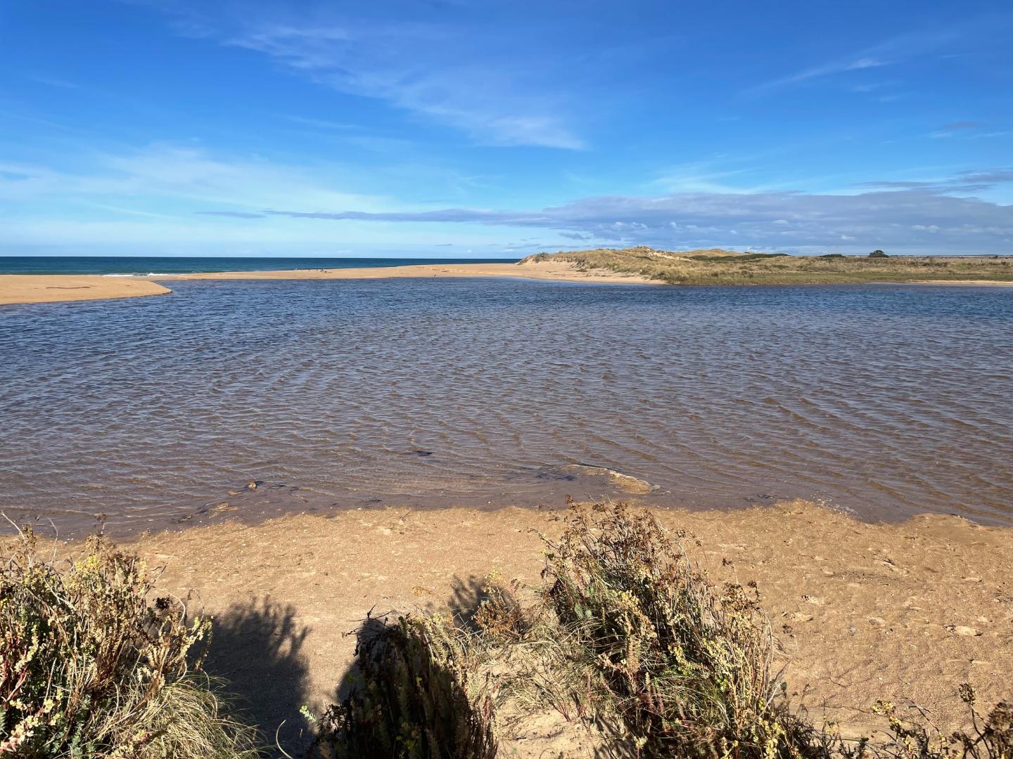
Photopoint MCp1 17-01-2024
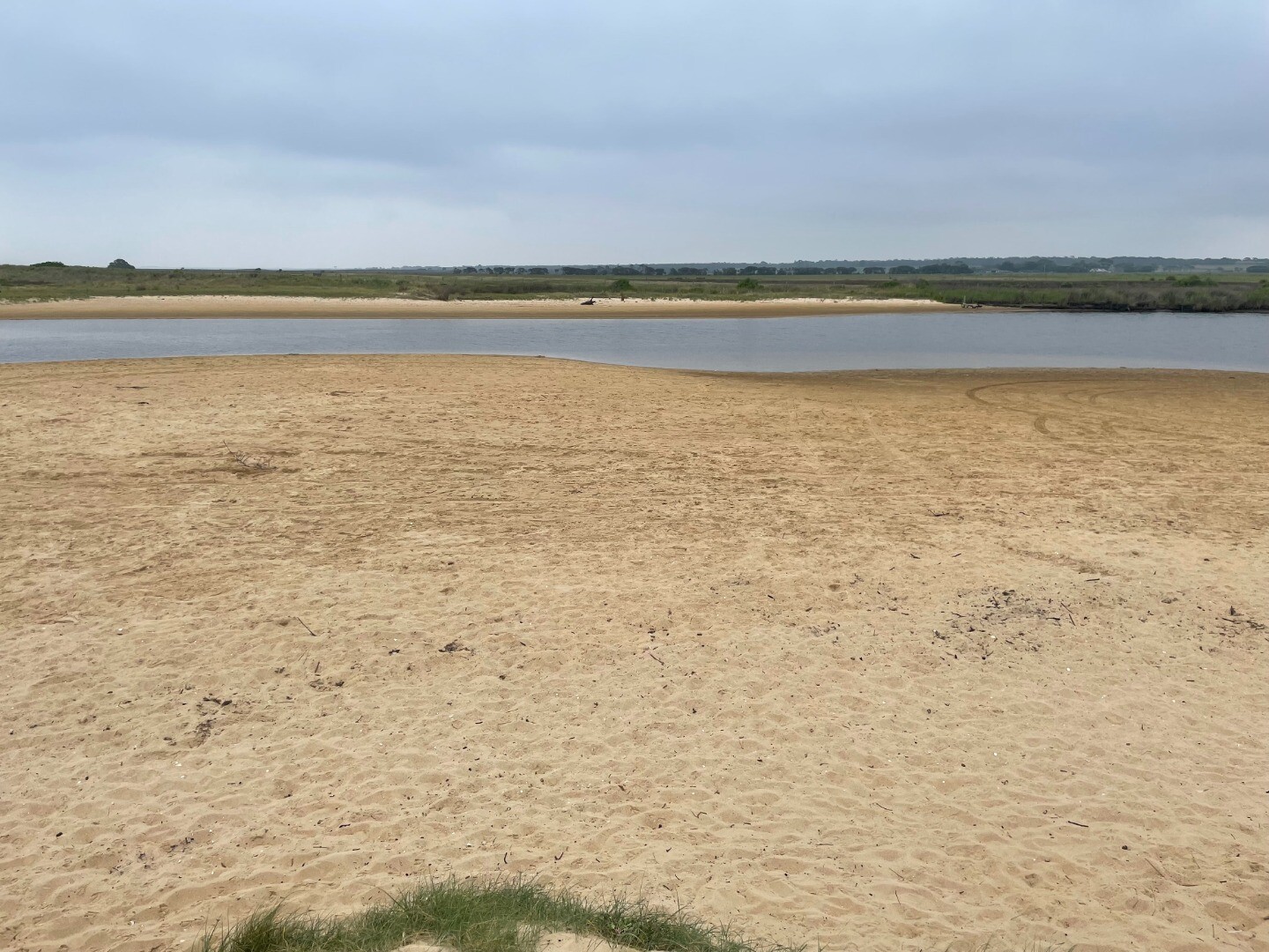
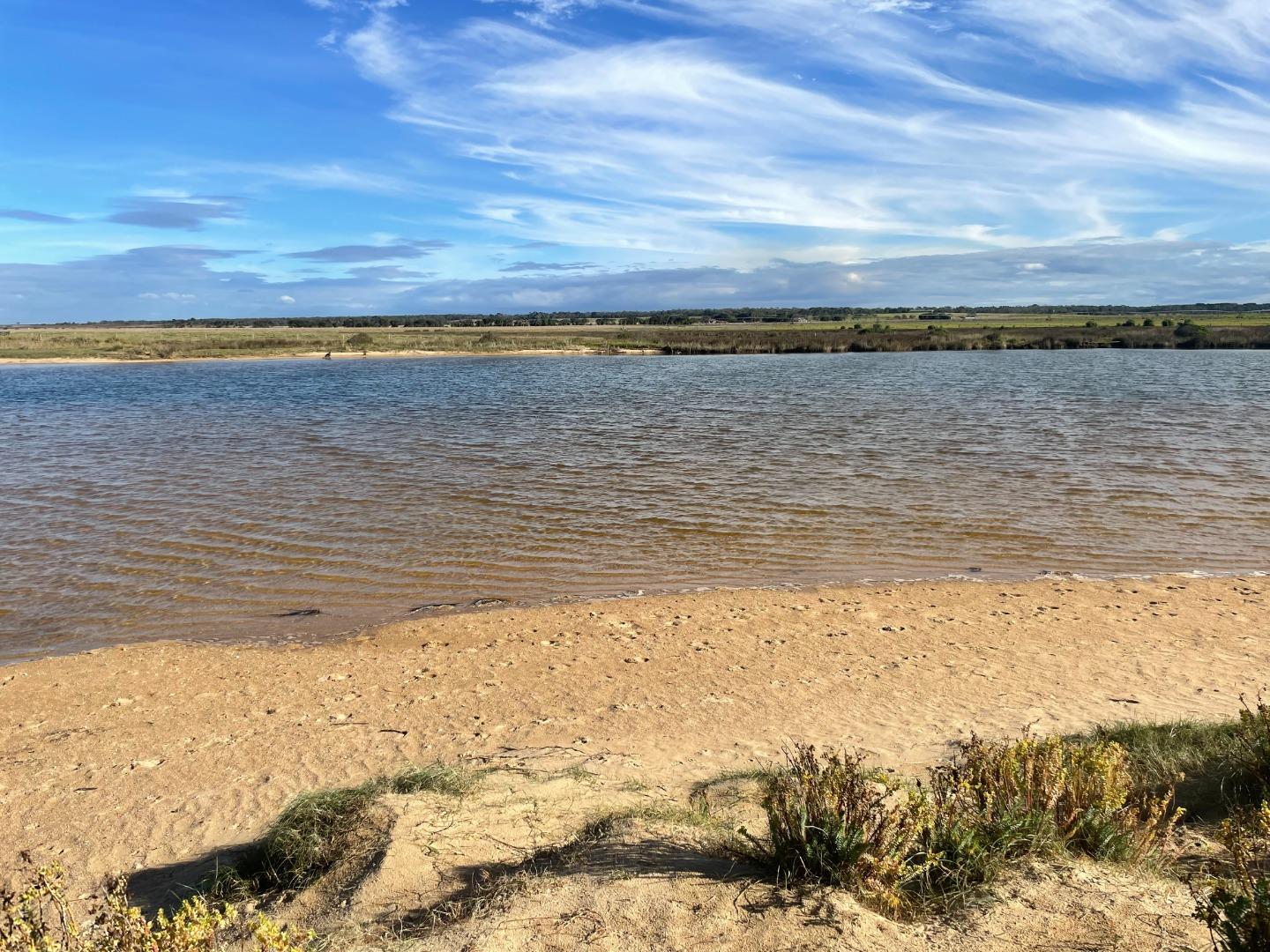
Photopoint MCp1 08-12-2023
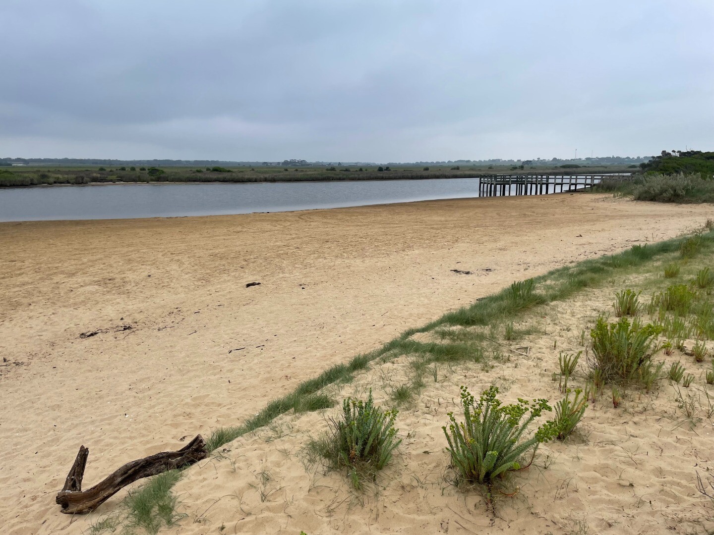
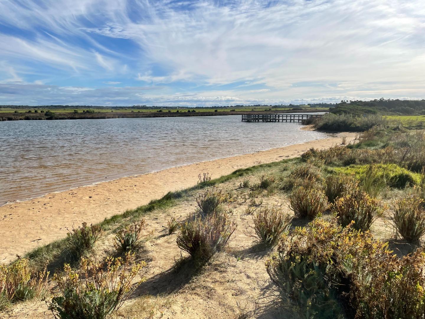
Photopoint MCp1 21-11-2023
Photopoint MCp1 17-11-2023
Photopoint MCp1 05-10-2023
Photopoint MCp1 02-08-2023
Photopoint MCp1 03-07-2023
Photopoint MCp1 16-06-2023
Photopoint MCp1 02-06-2023

All content, files, data and images provided by the EstuaryWatch Data Portal and Gallery are subject to a Creative Commons Attribution License
Content is made available to be used in any way, and should always attribute EstuaryWatch and www.estuarywatch.org.au