EstuaryWatch Data Portal
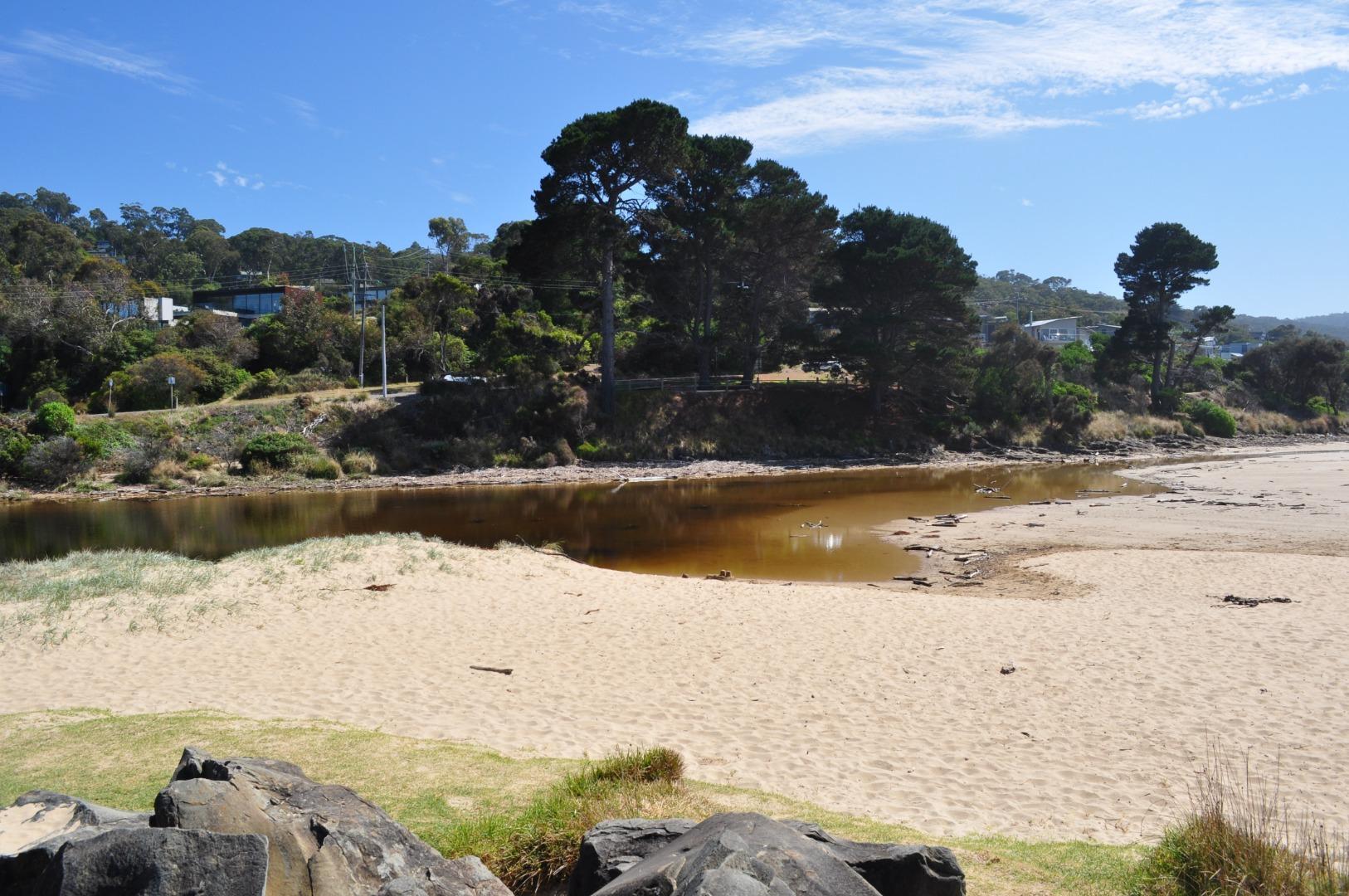
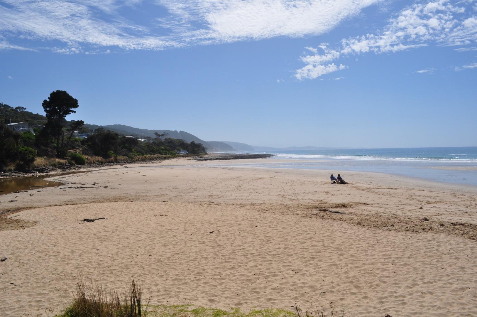
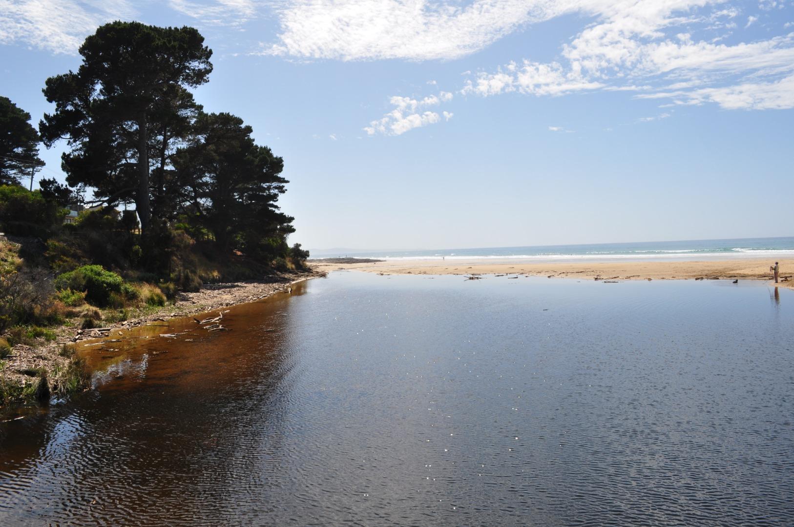
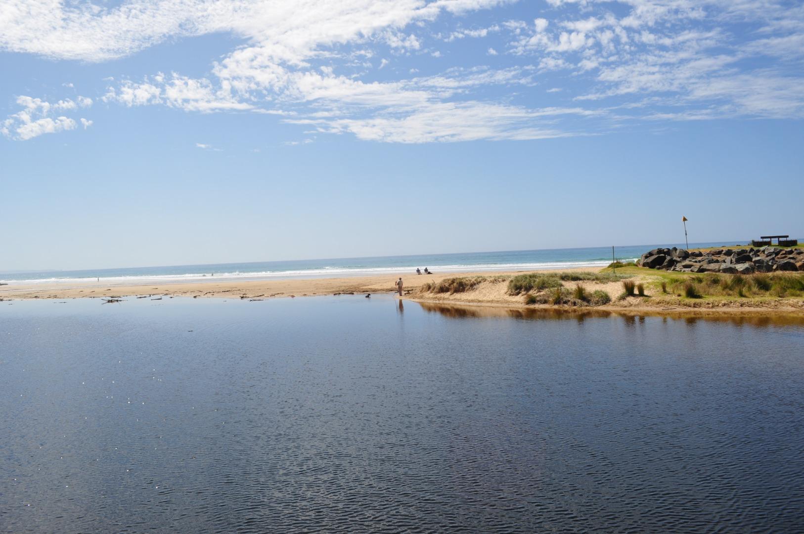
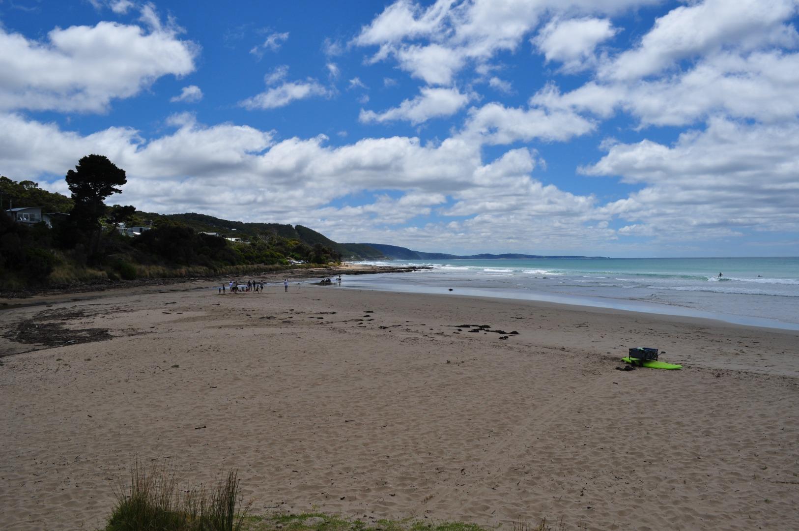
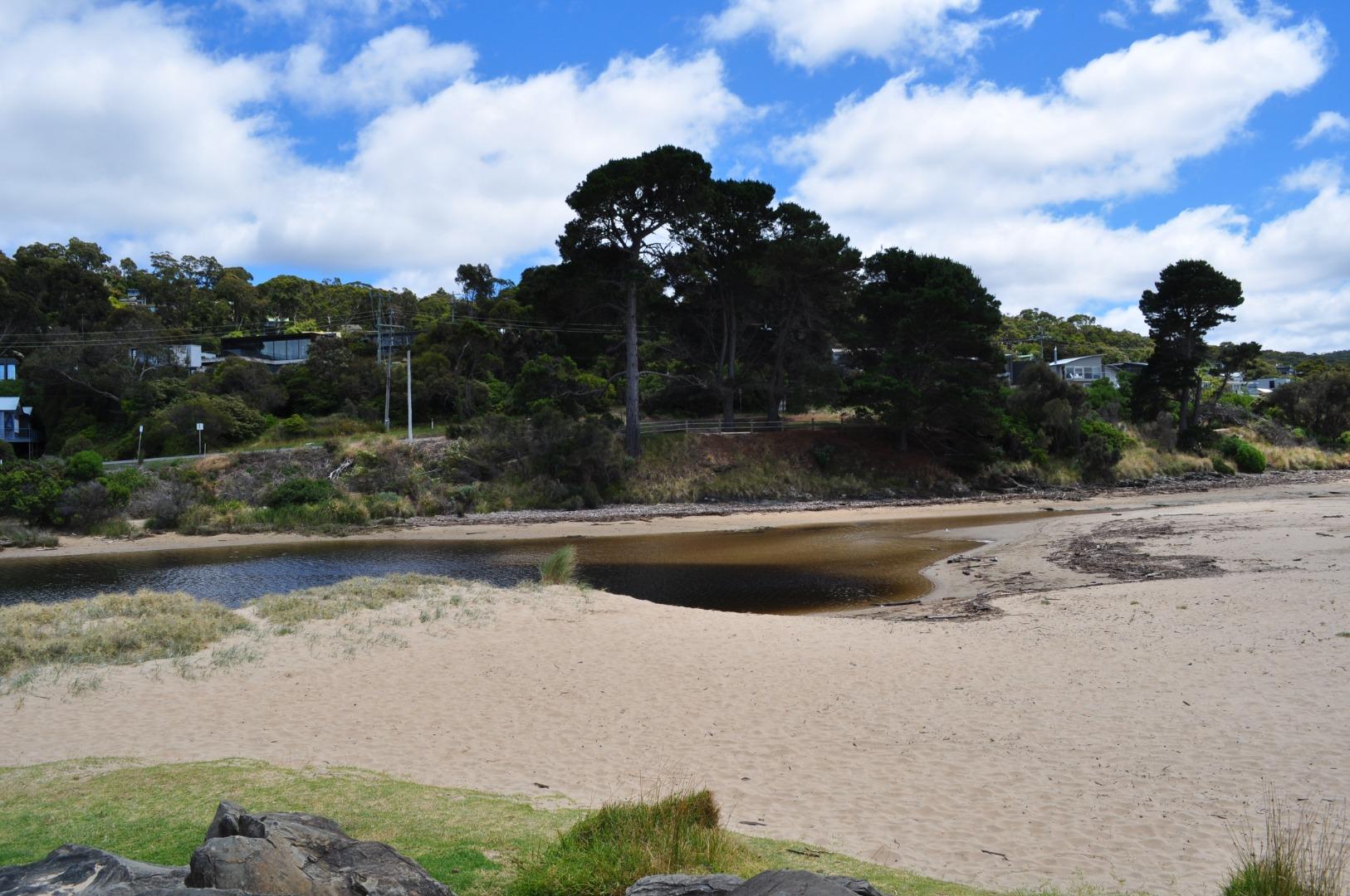
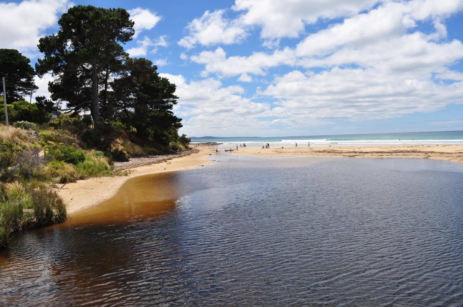
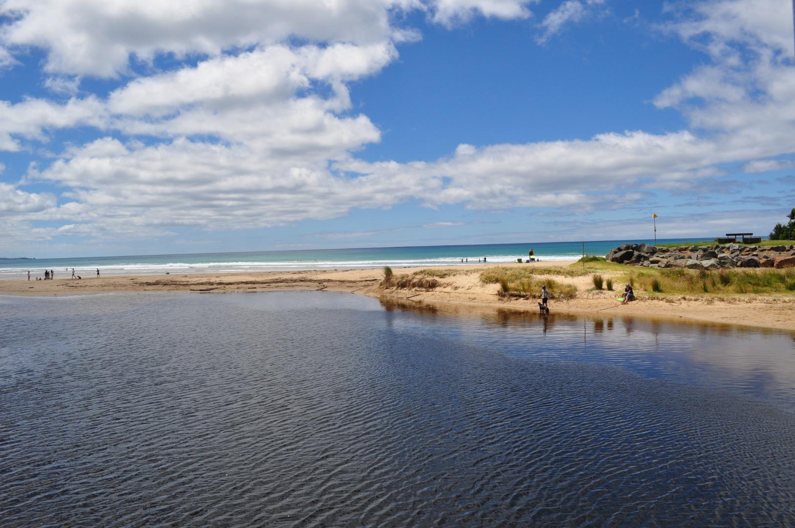
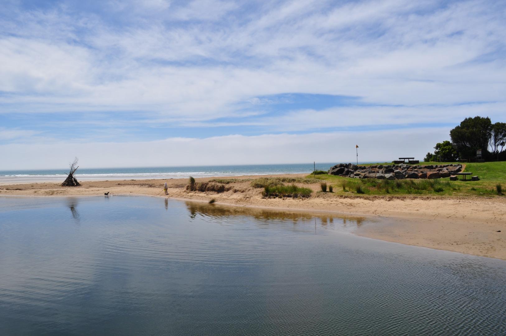
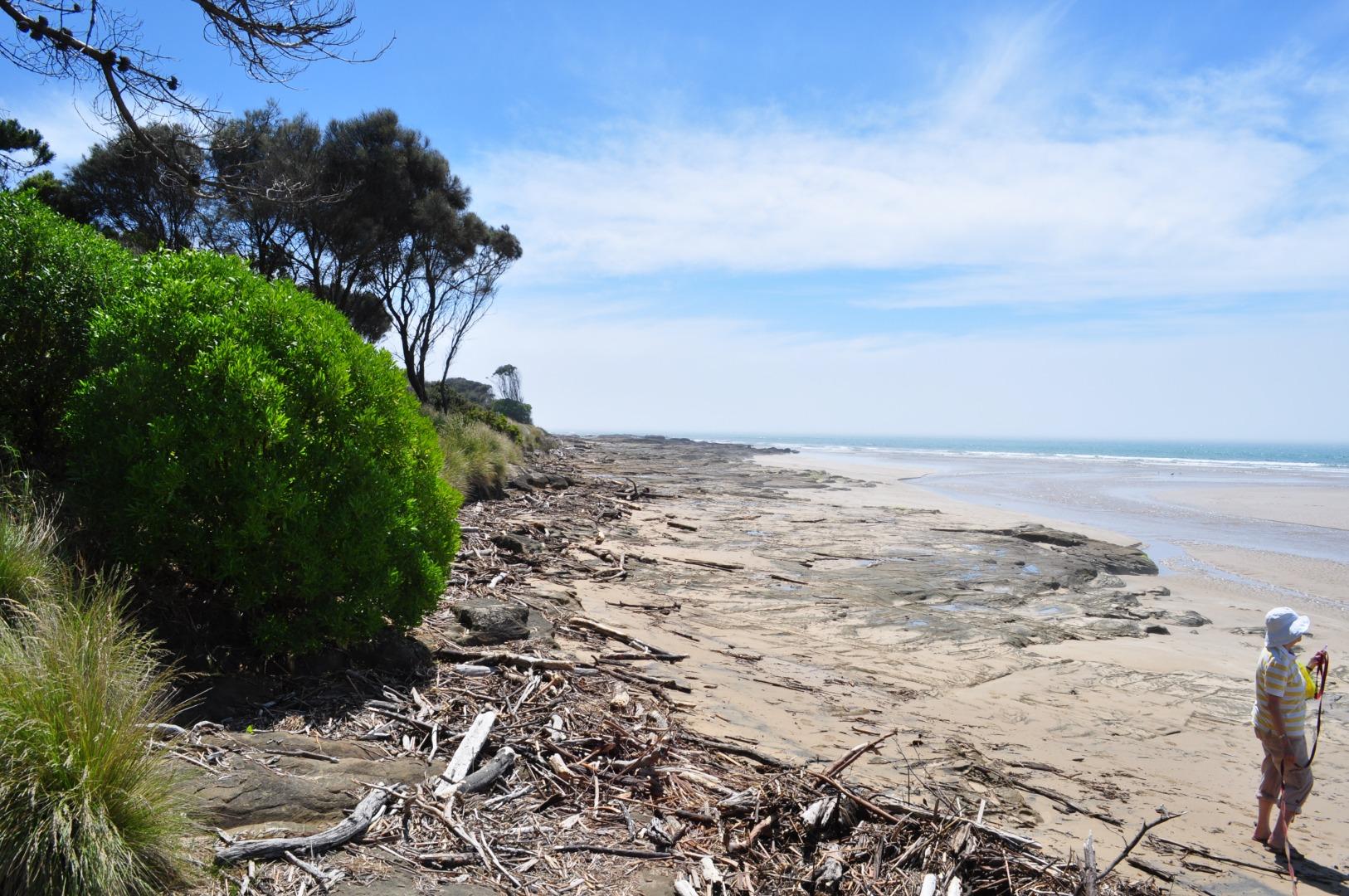
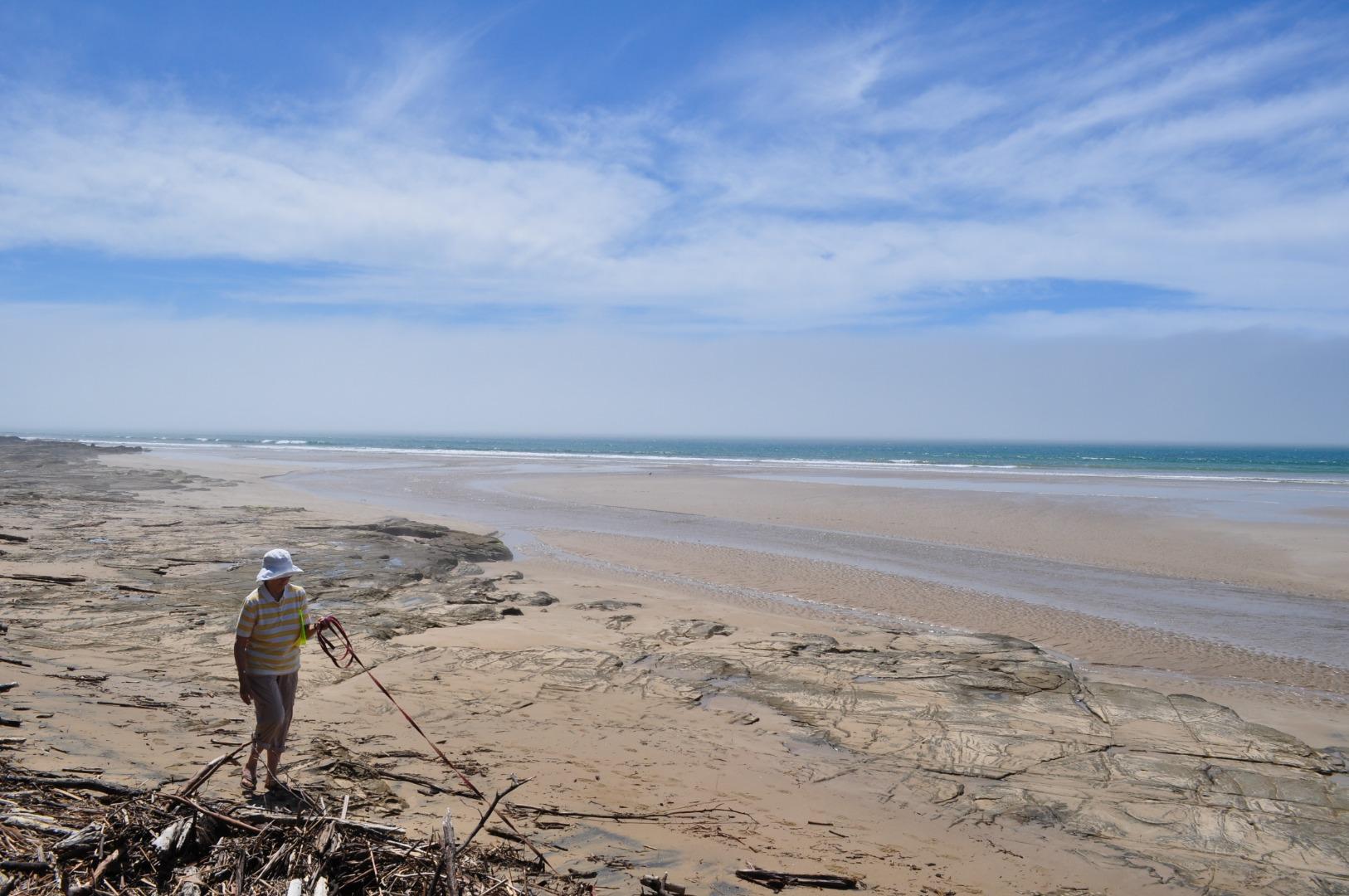
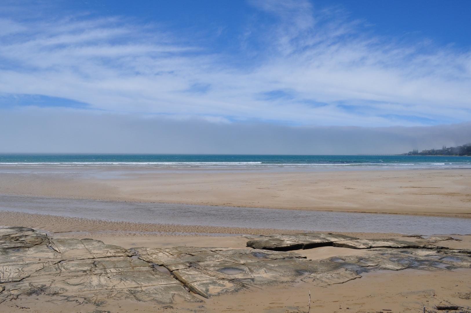
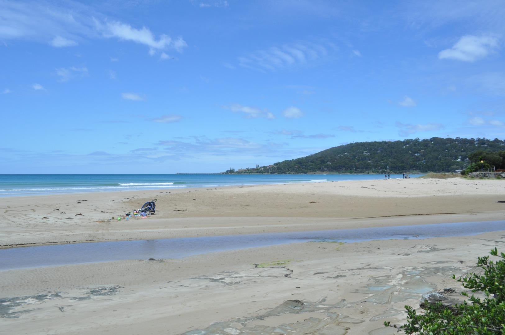
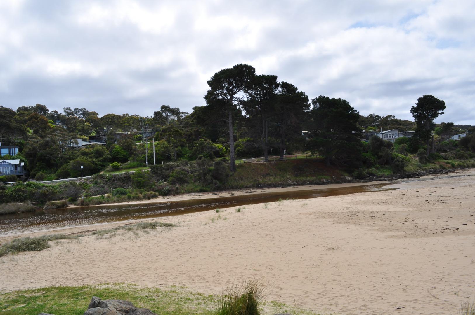
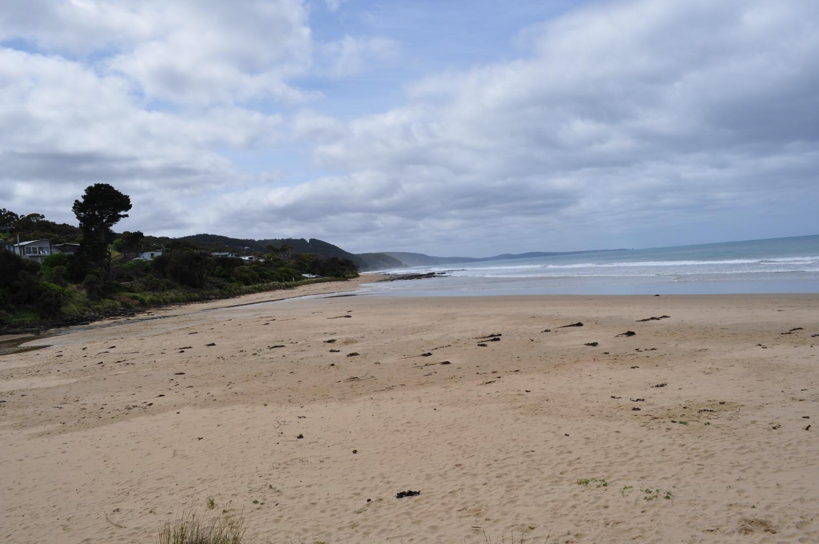
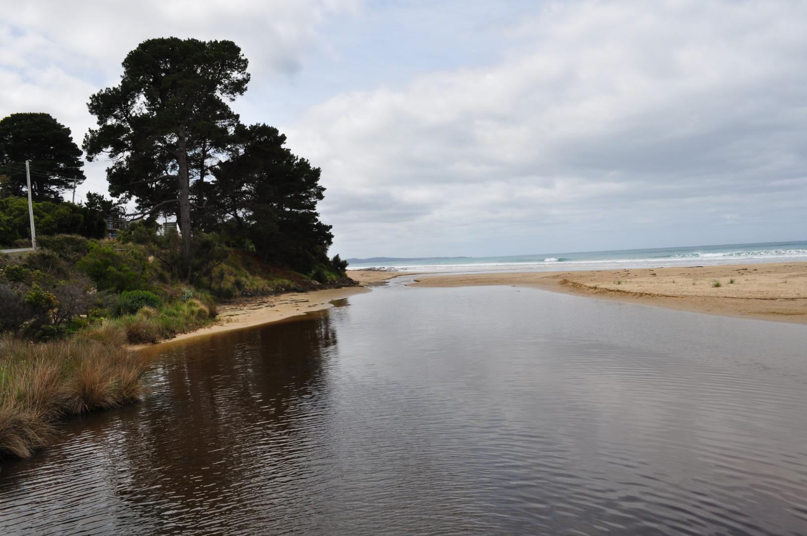
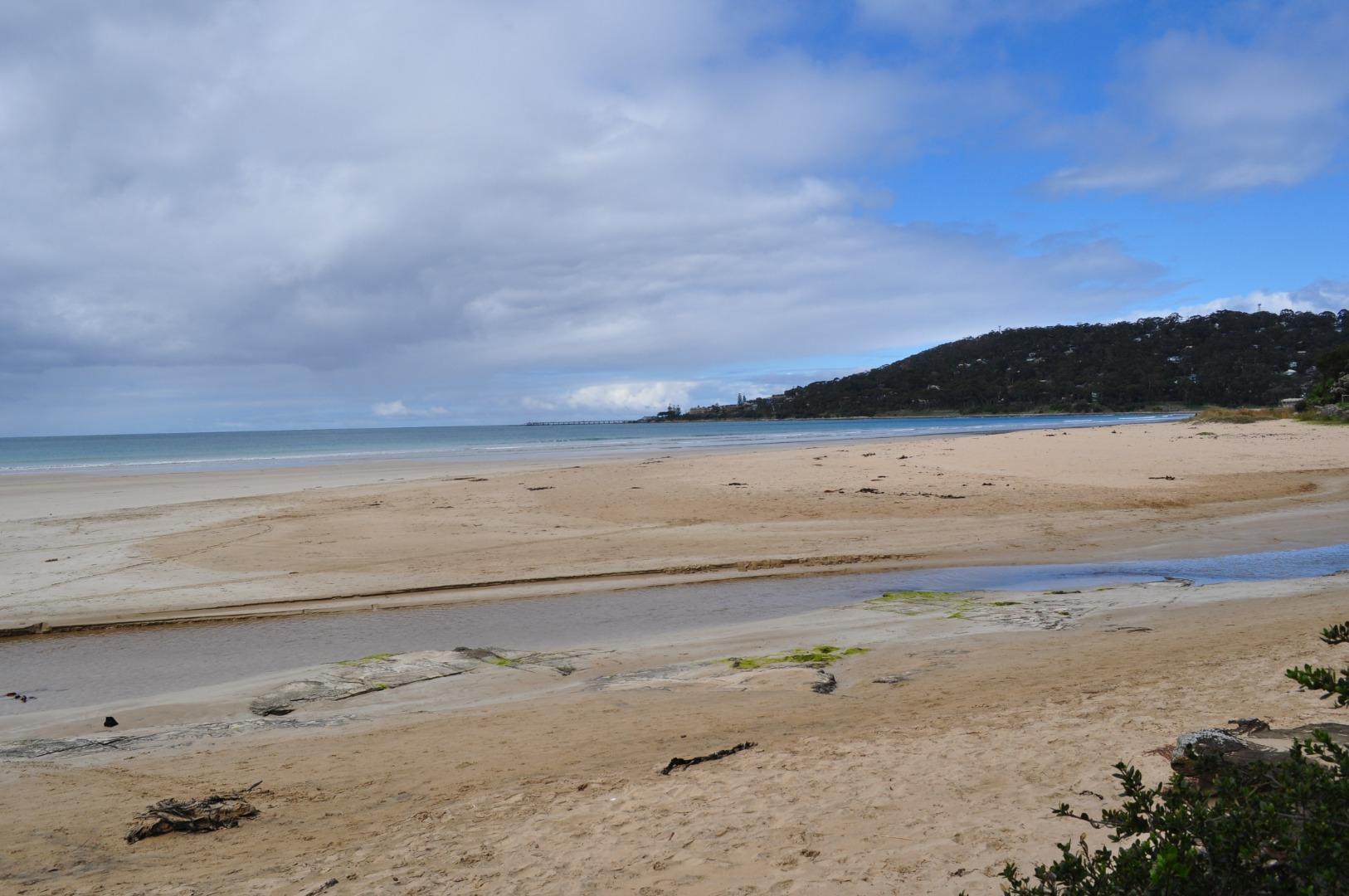
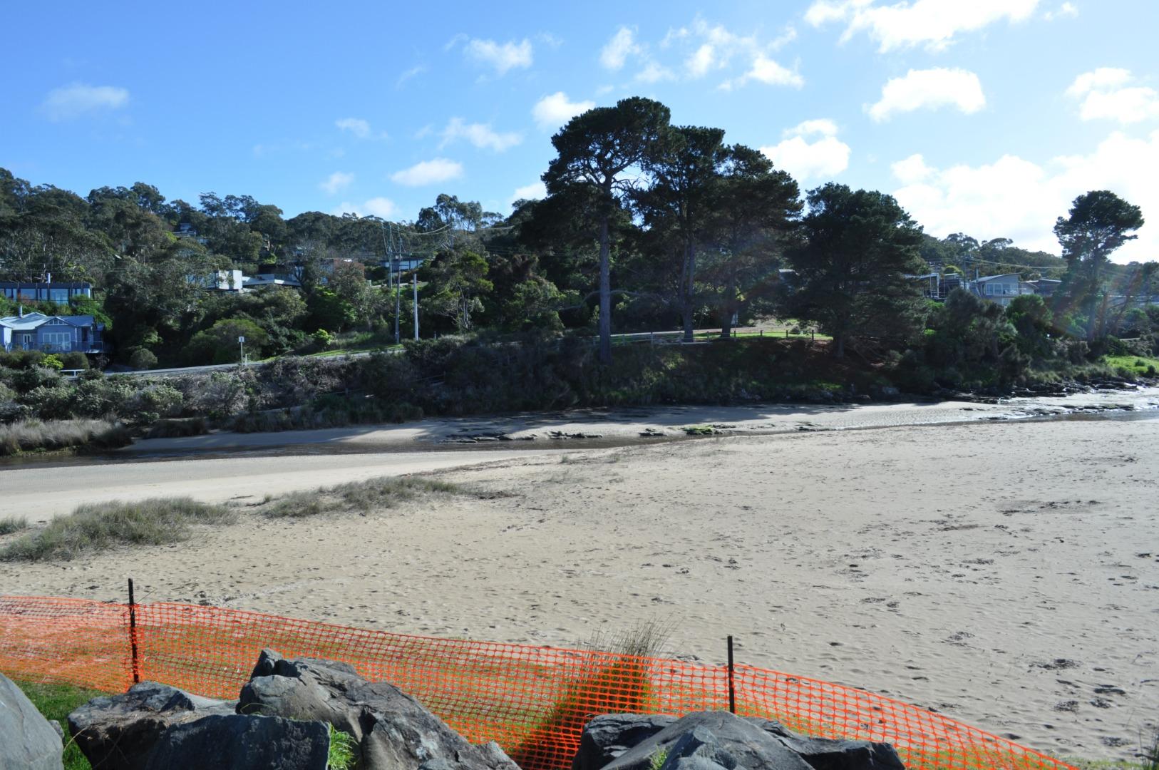
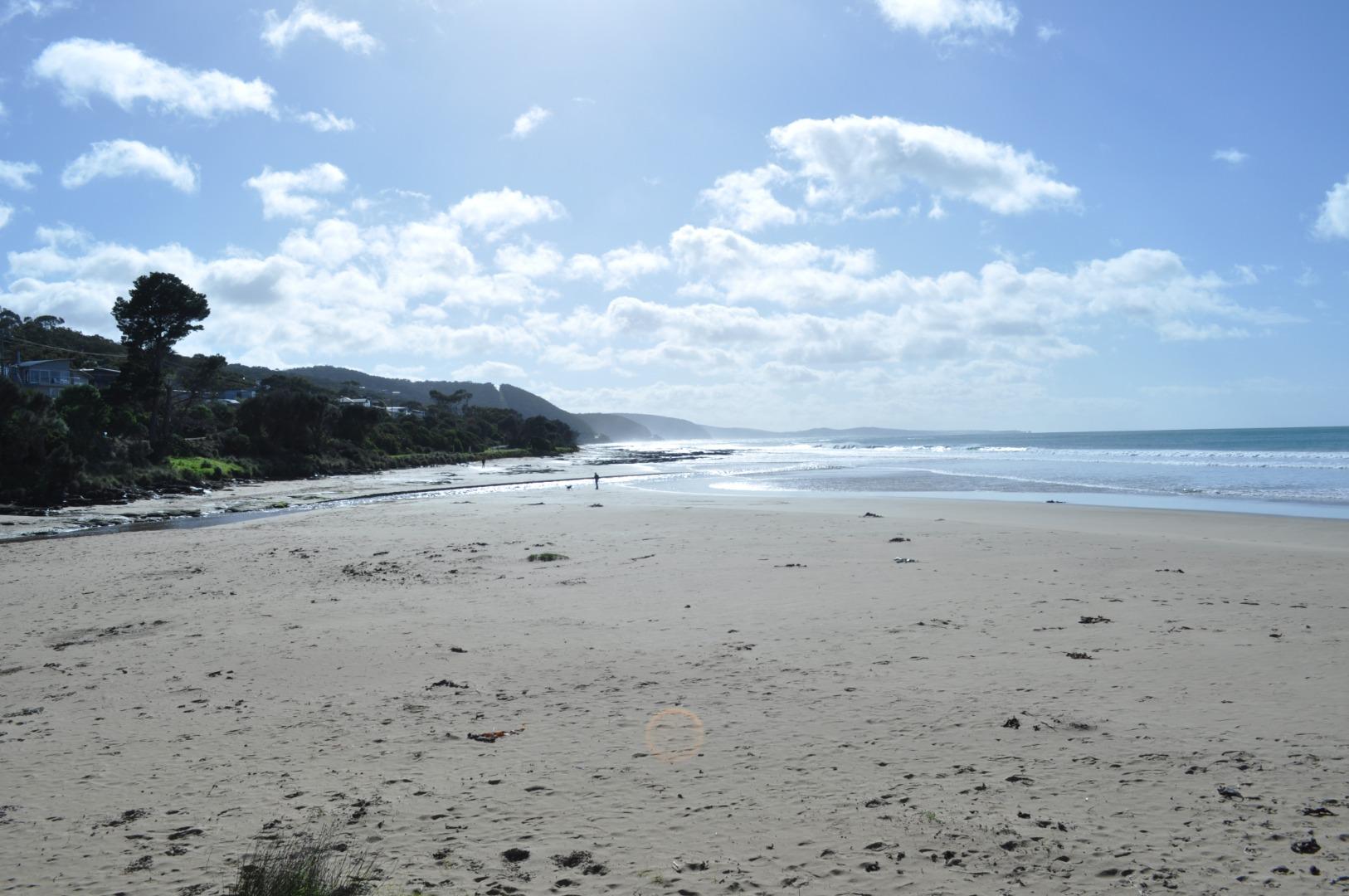
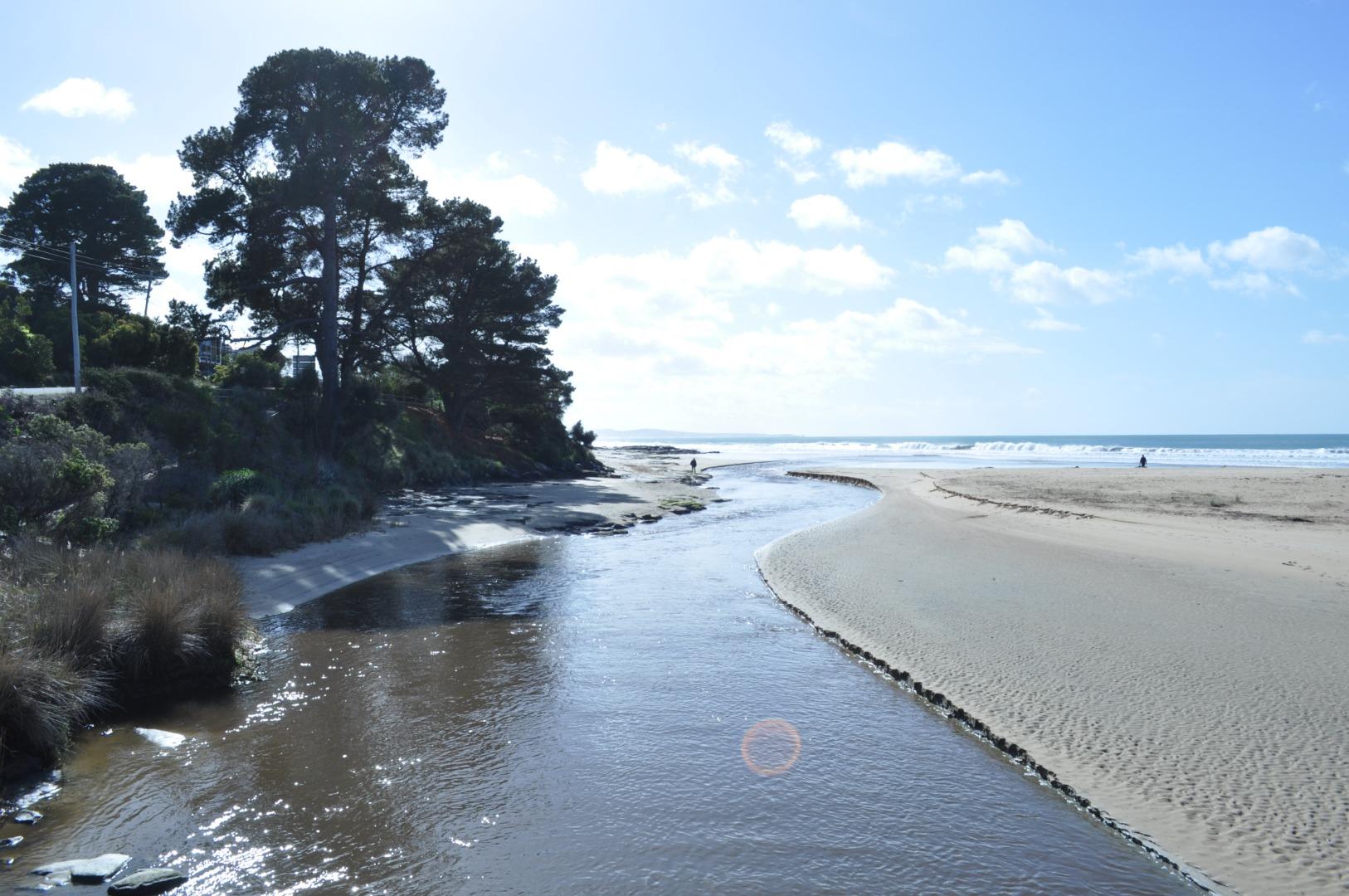
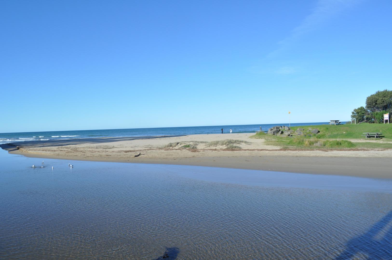
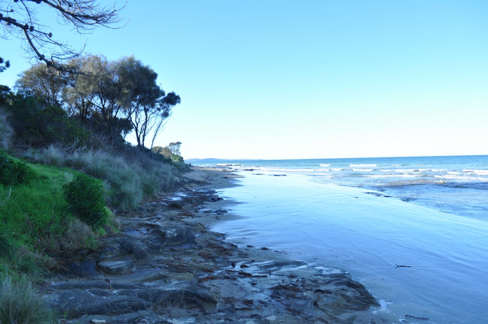
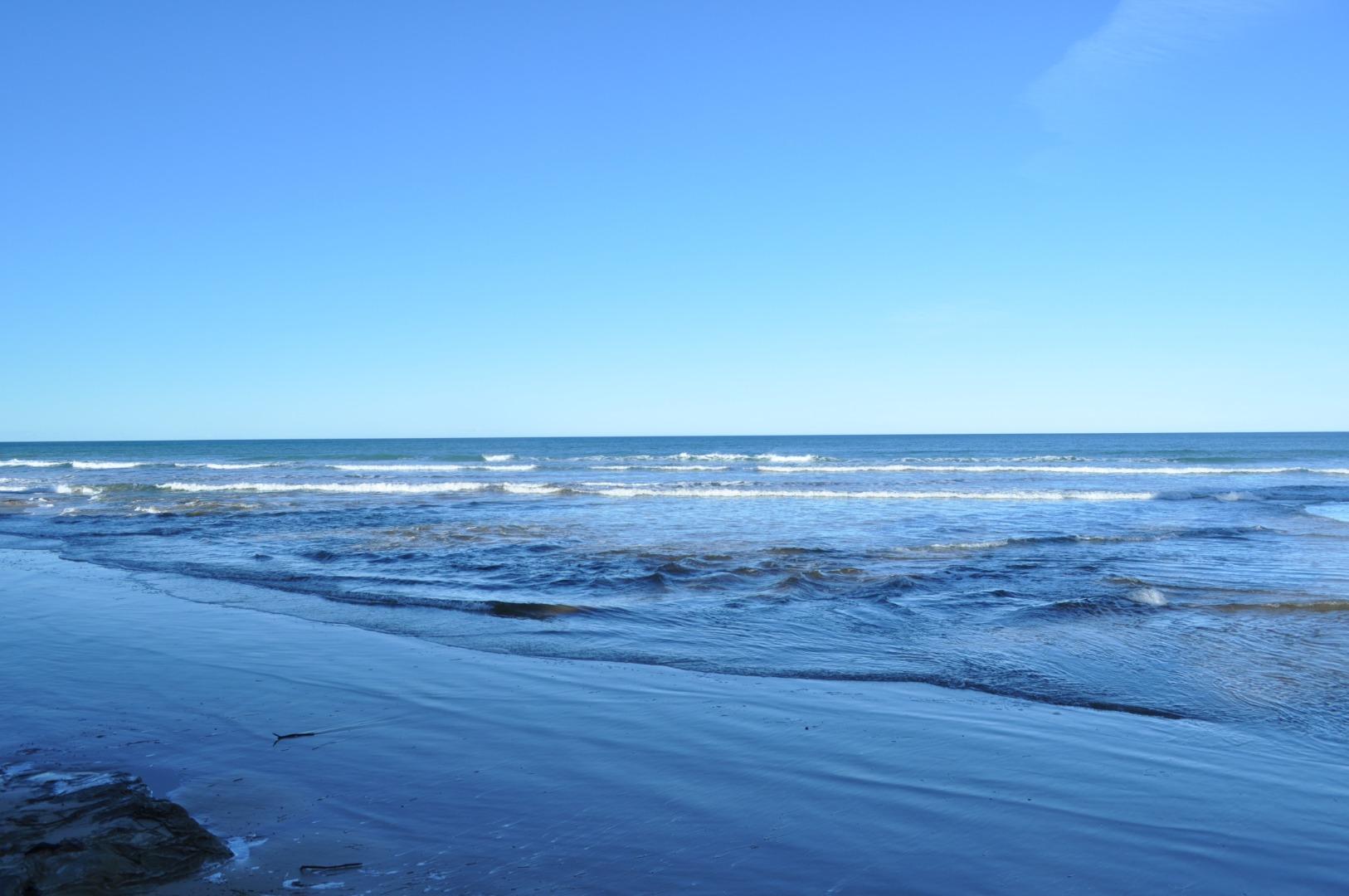
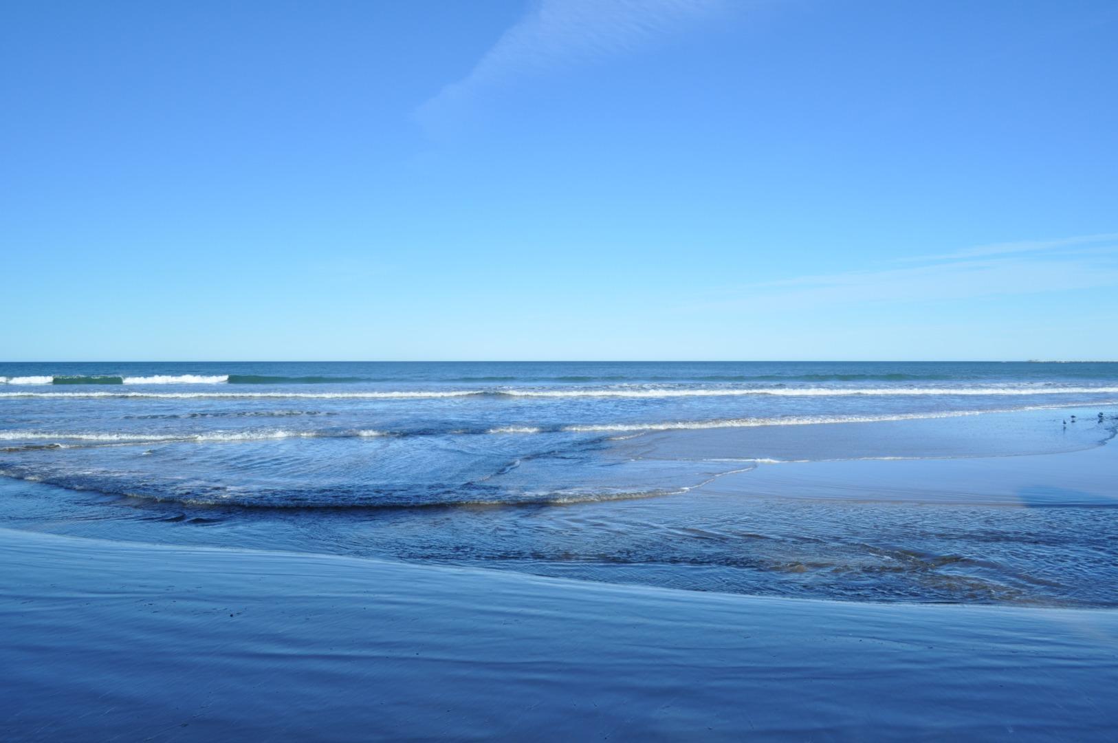
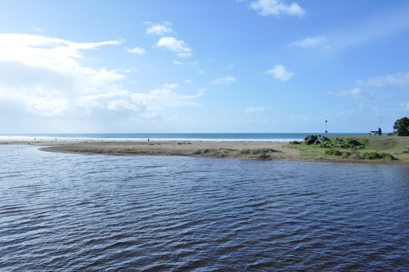
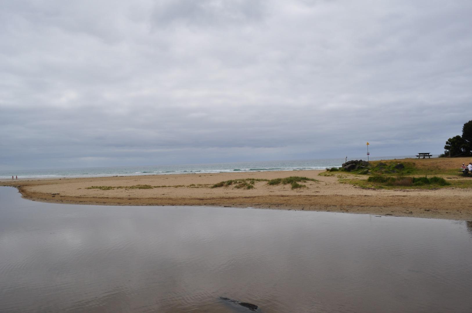
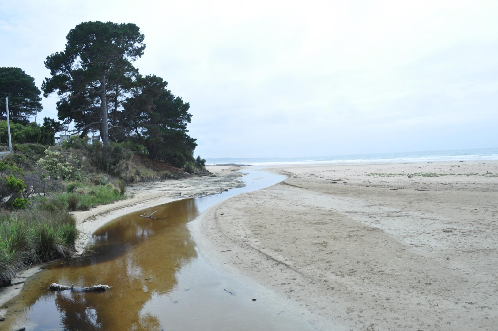
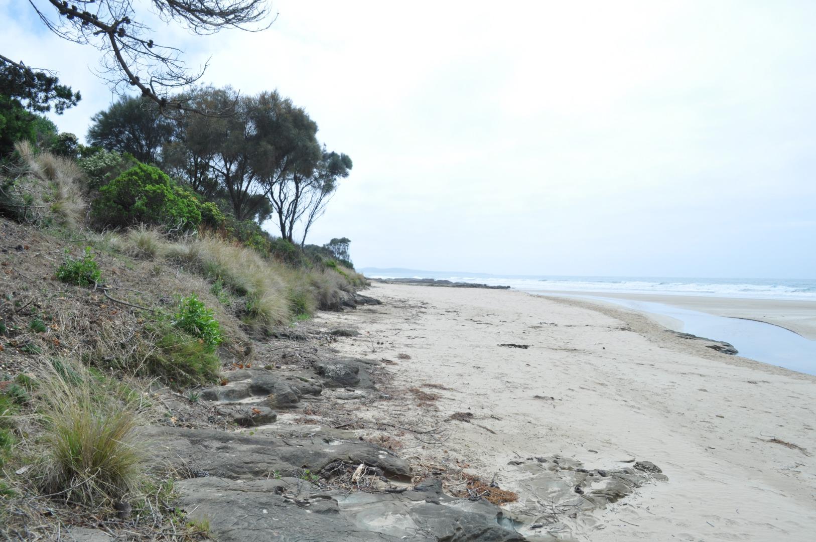
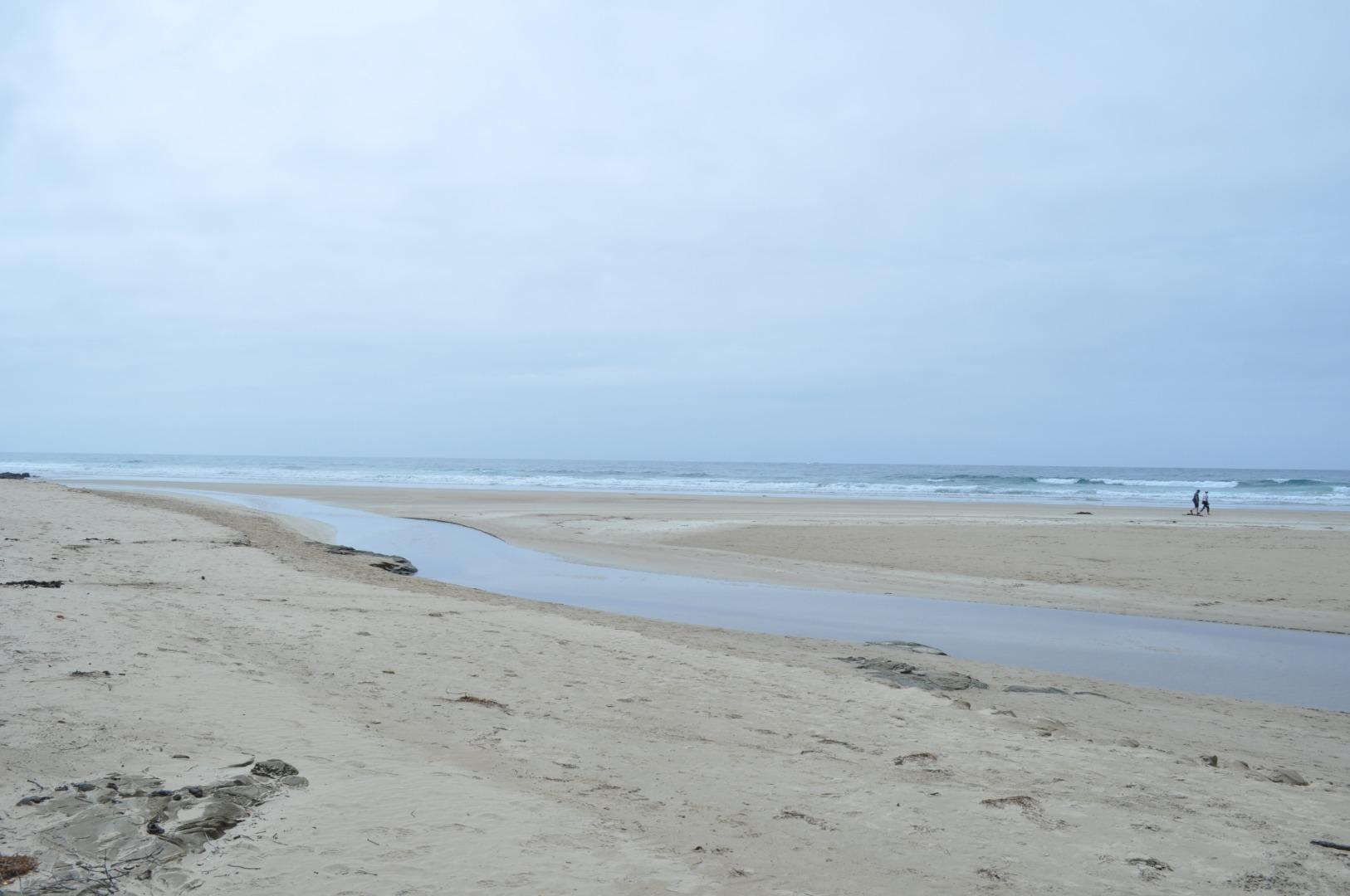
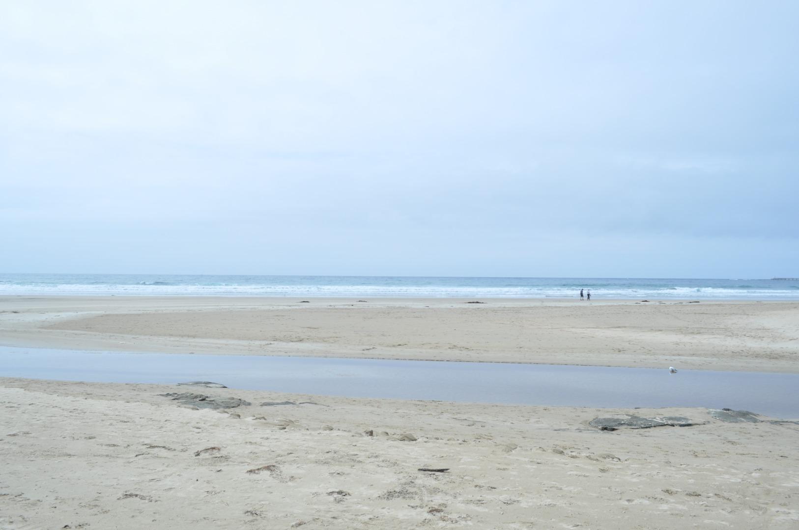
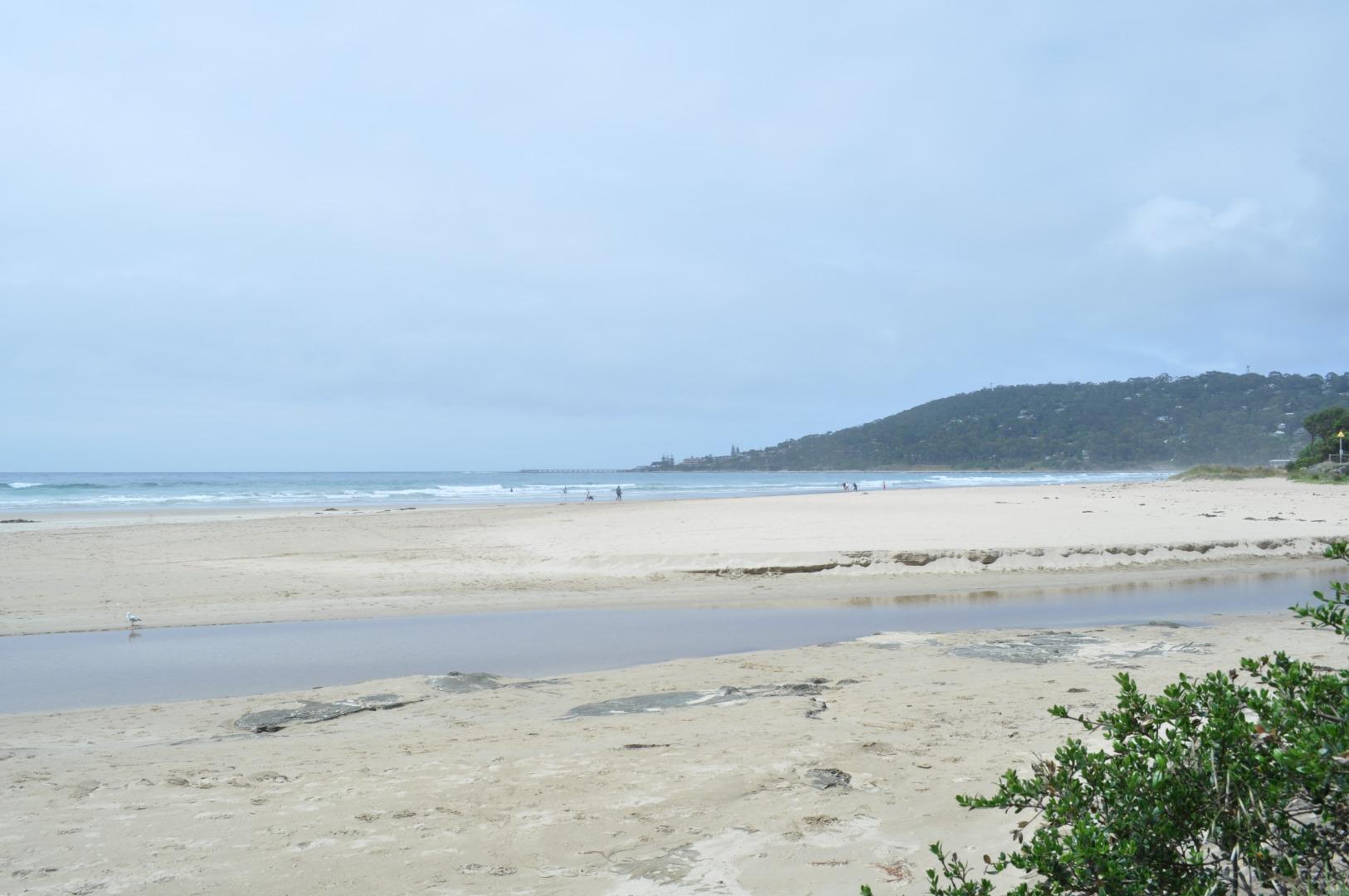
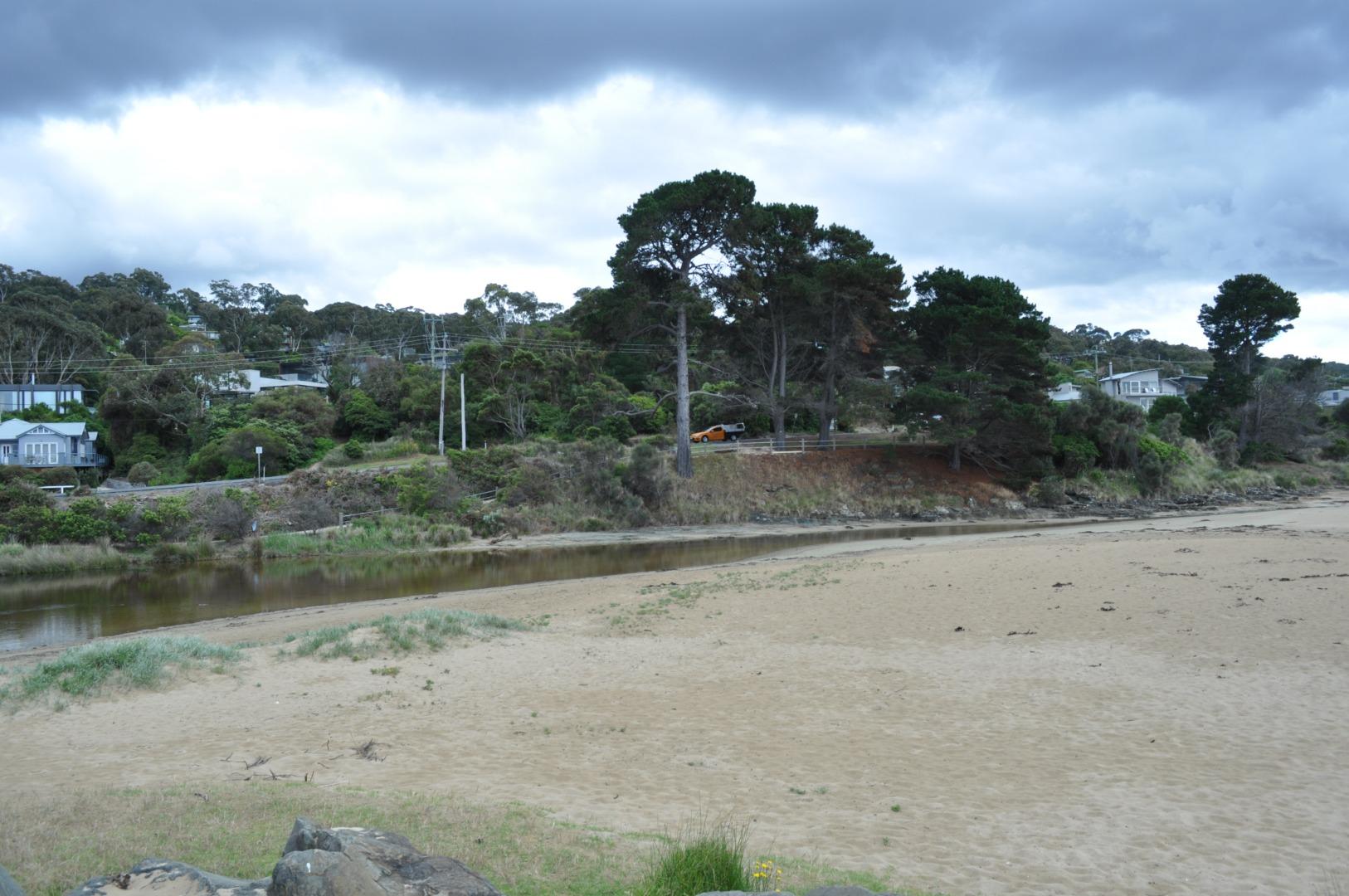
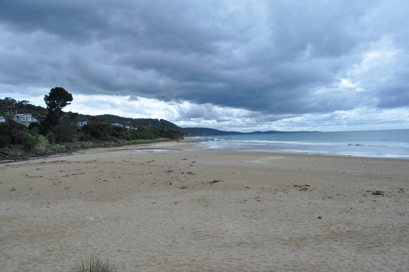
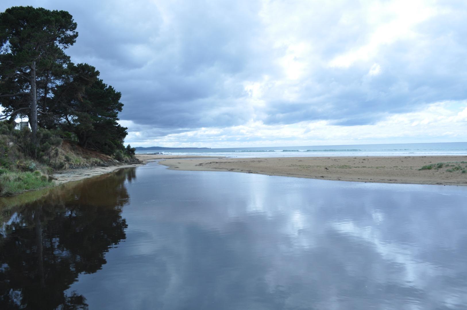
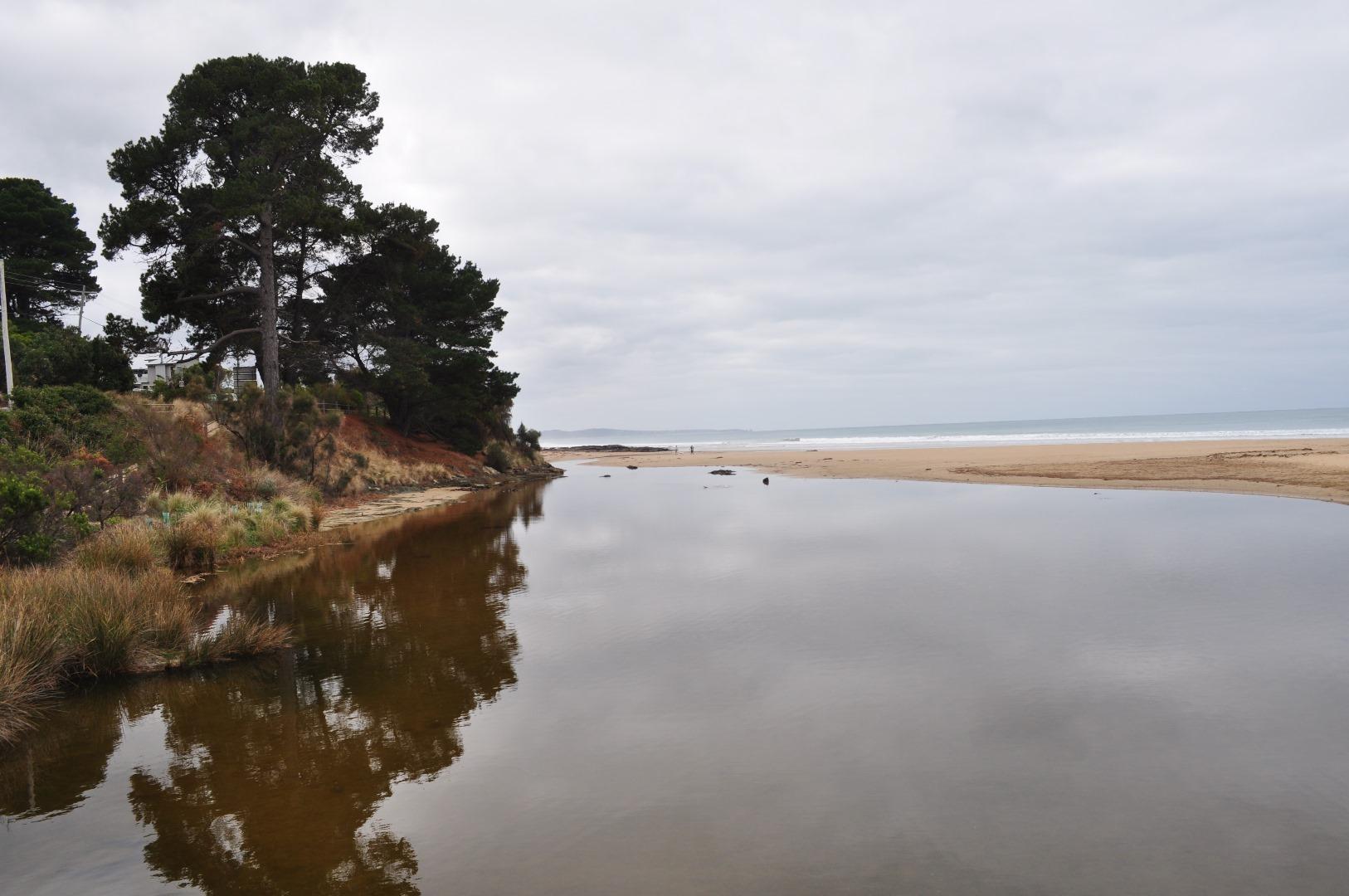
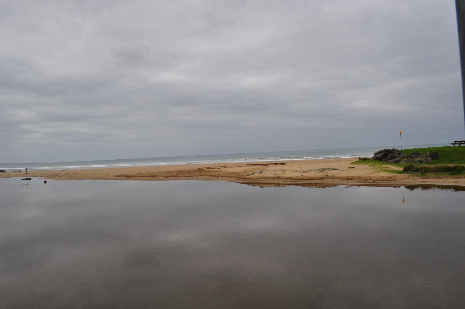
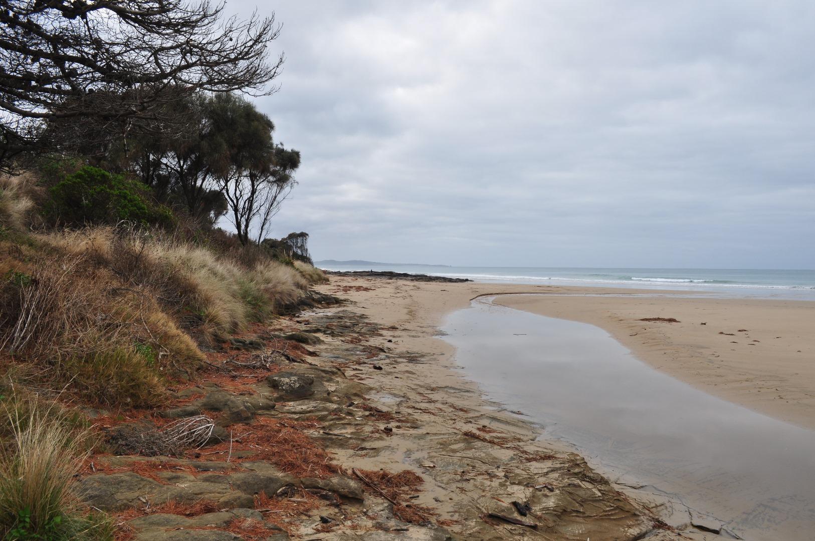
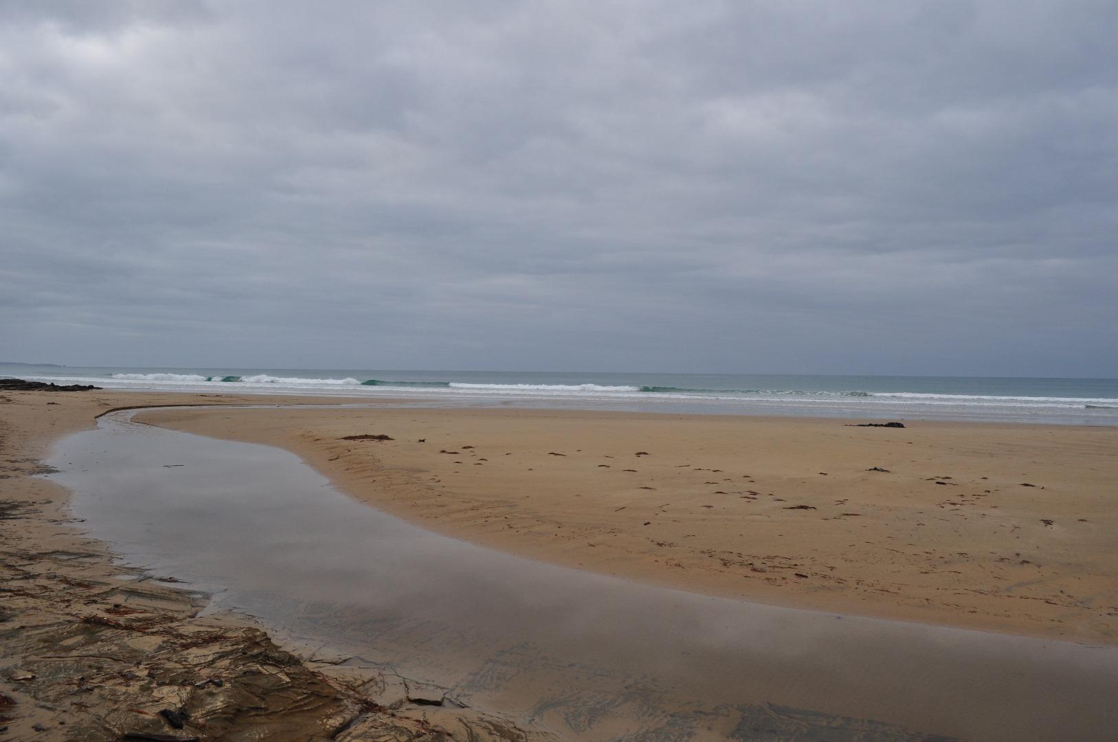
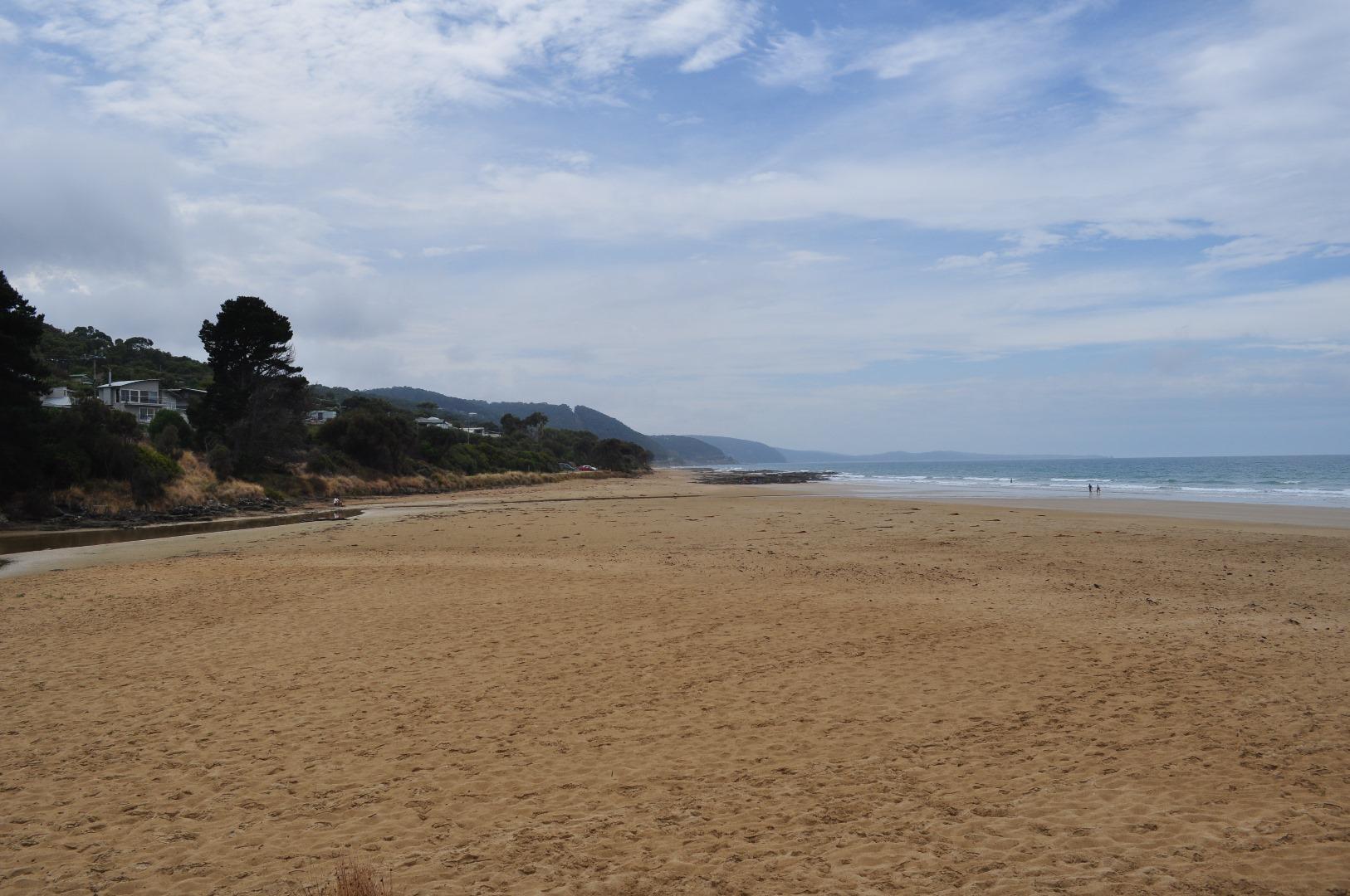
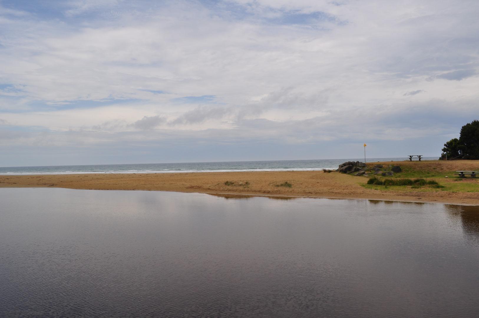
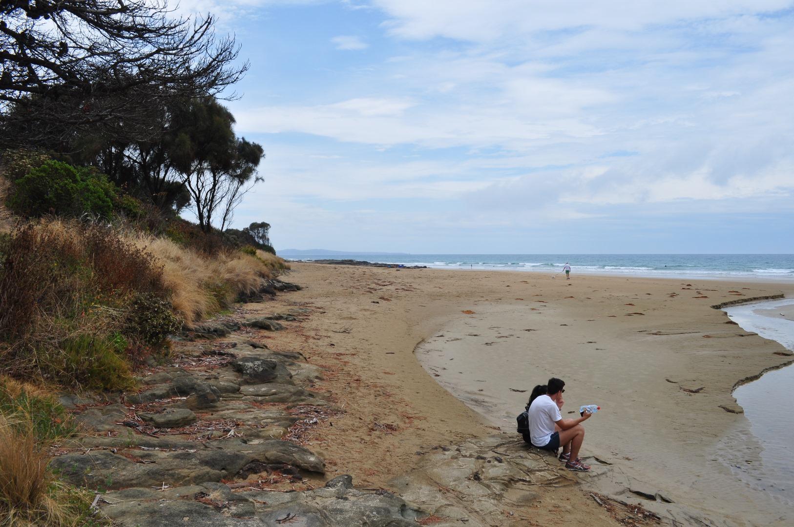
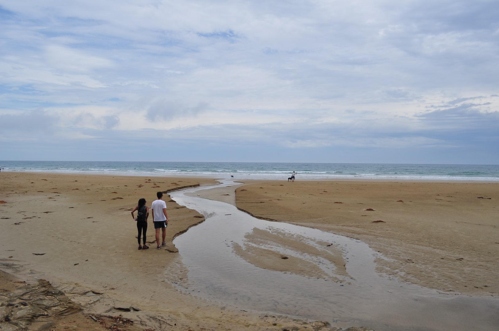
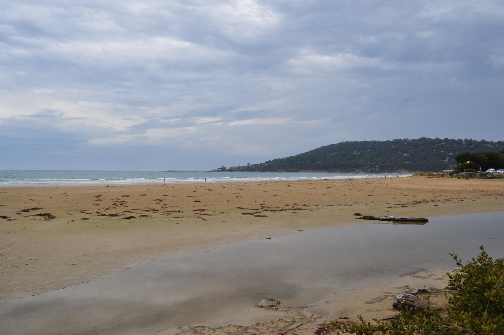
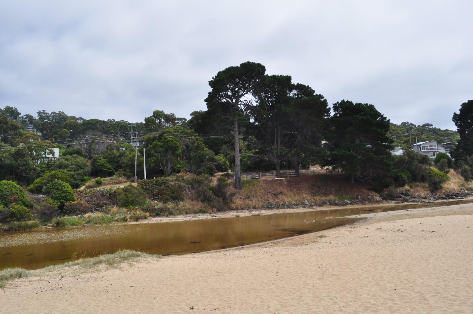
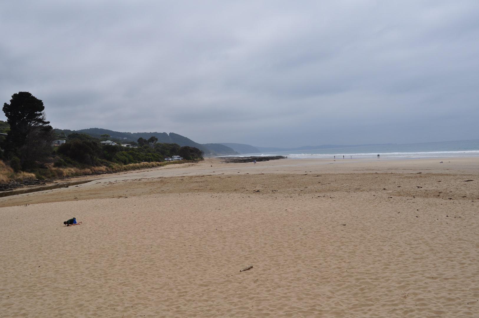
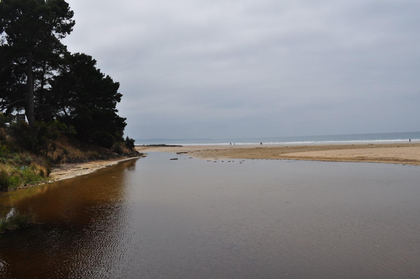
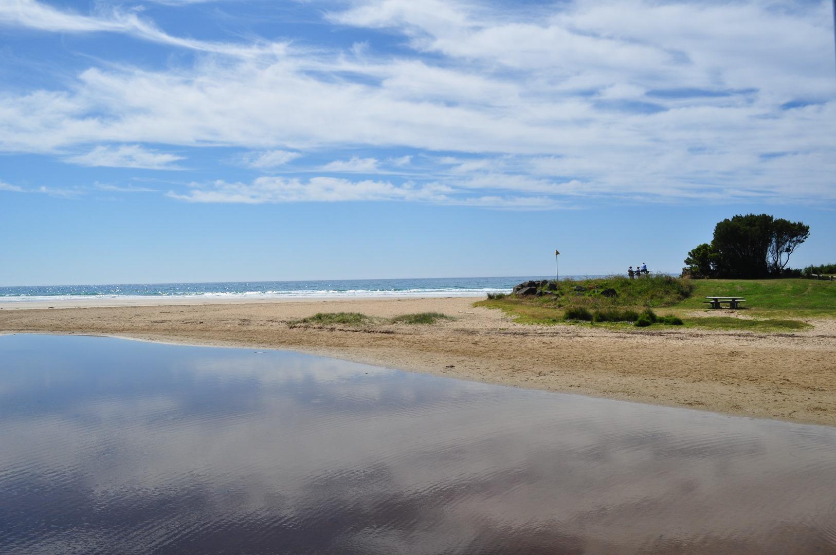
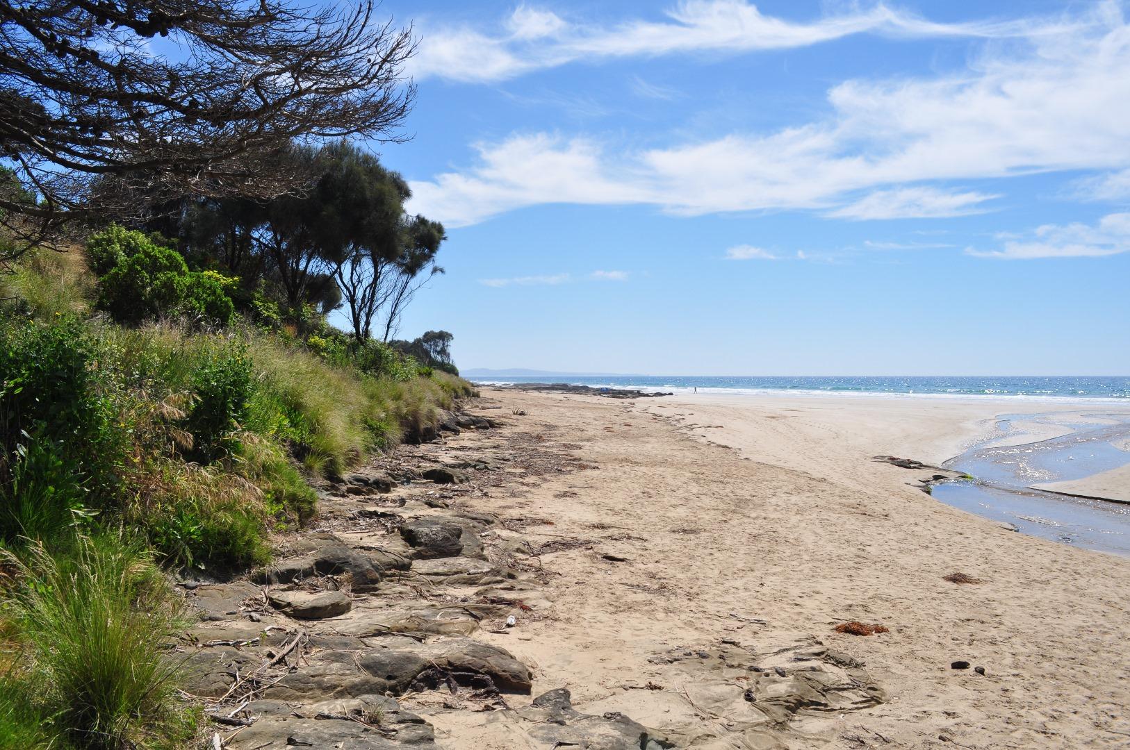
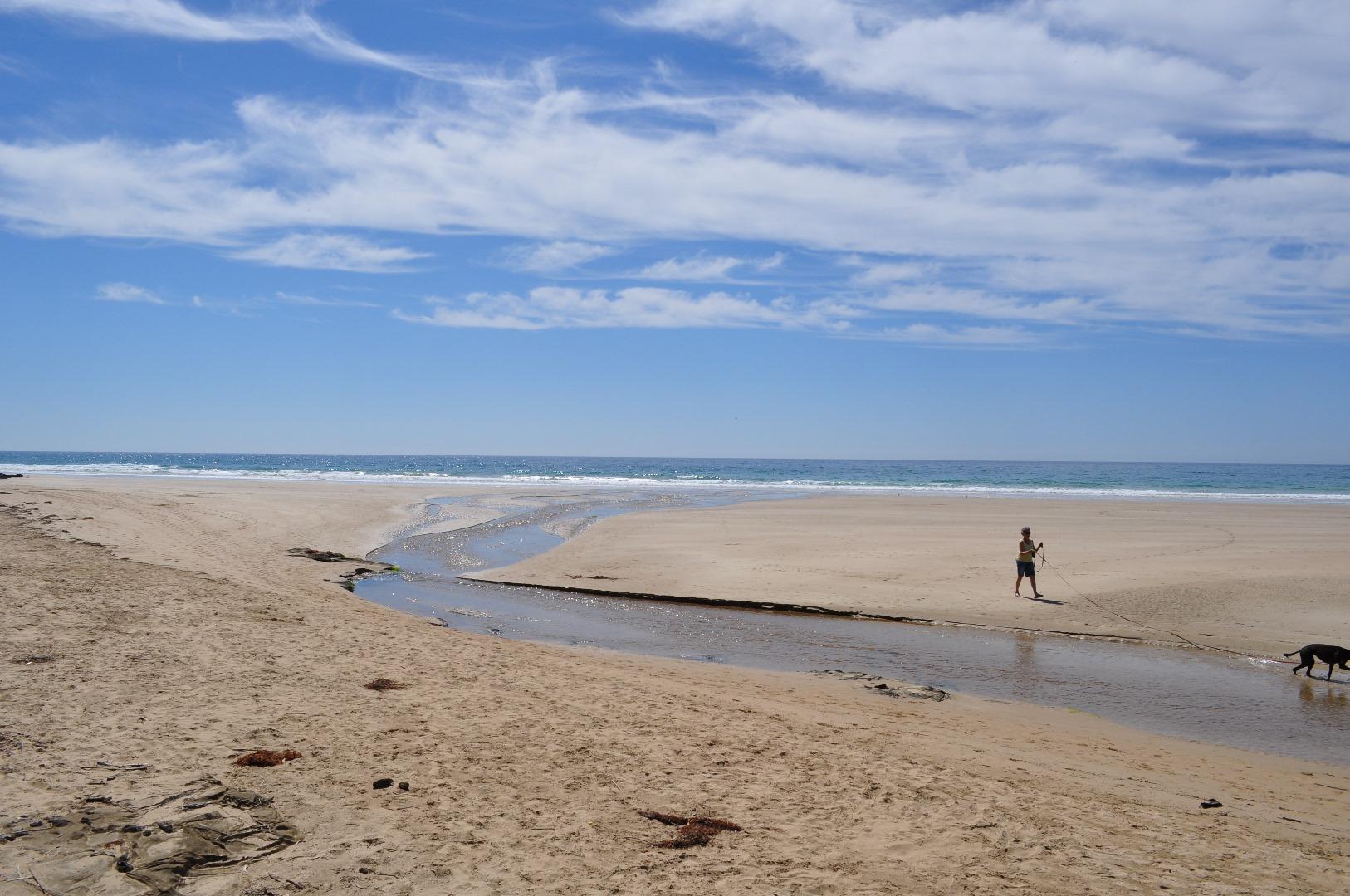
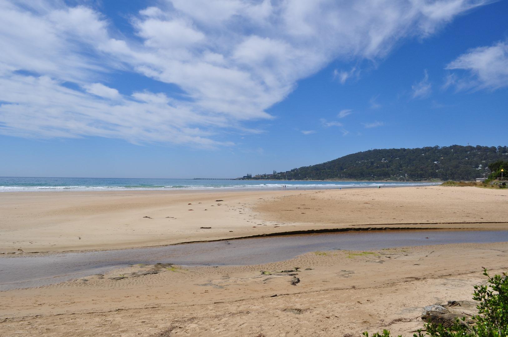
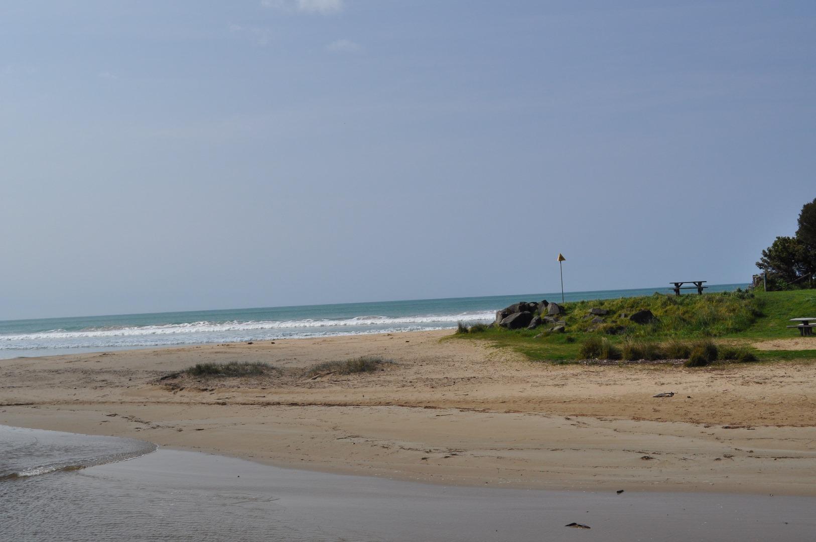
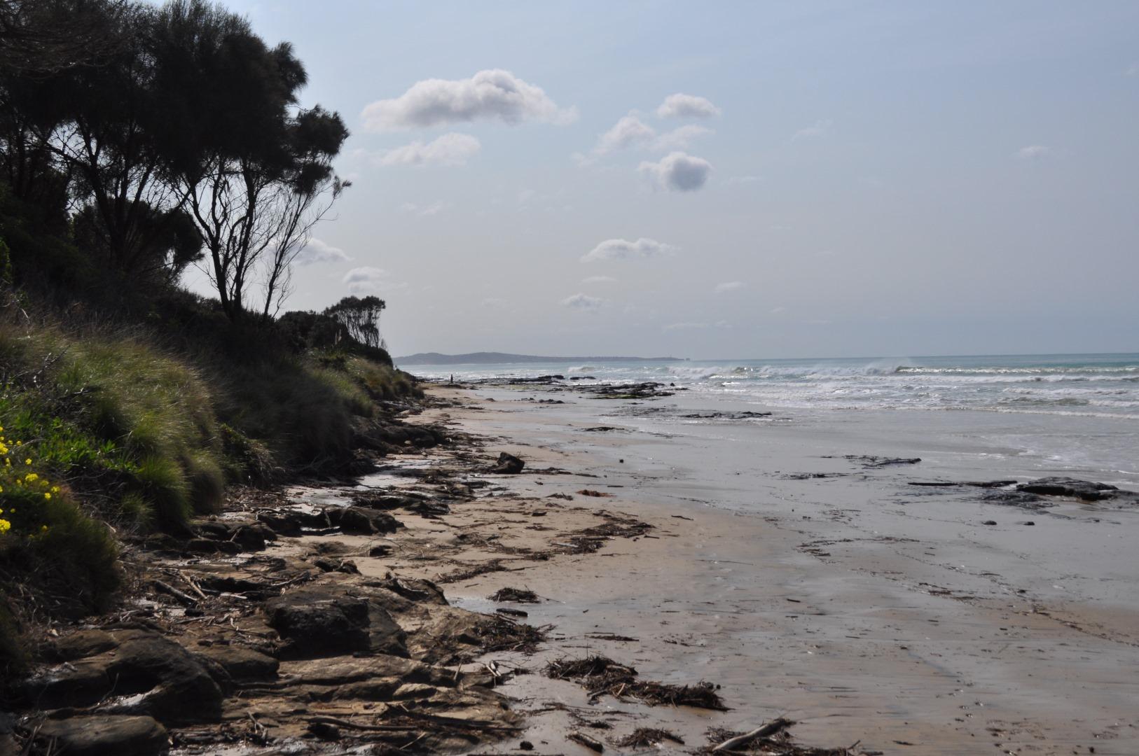
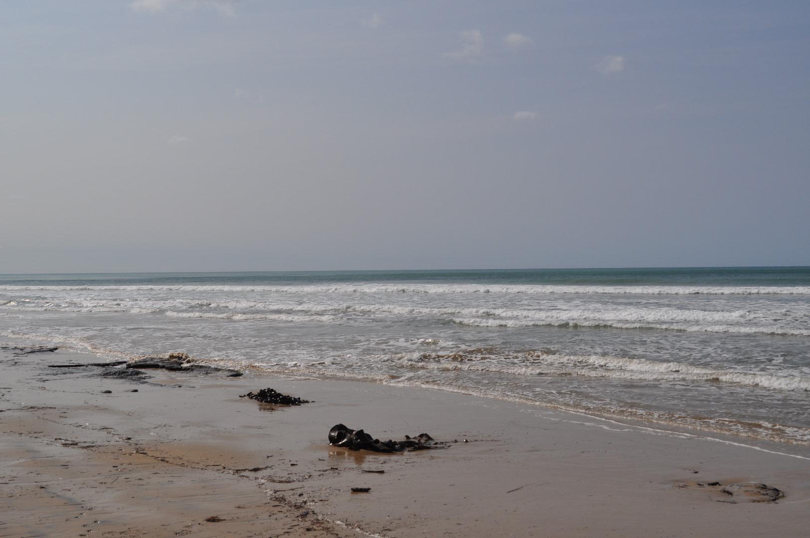
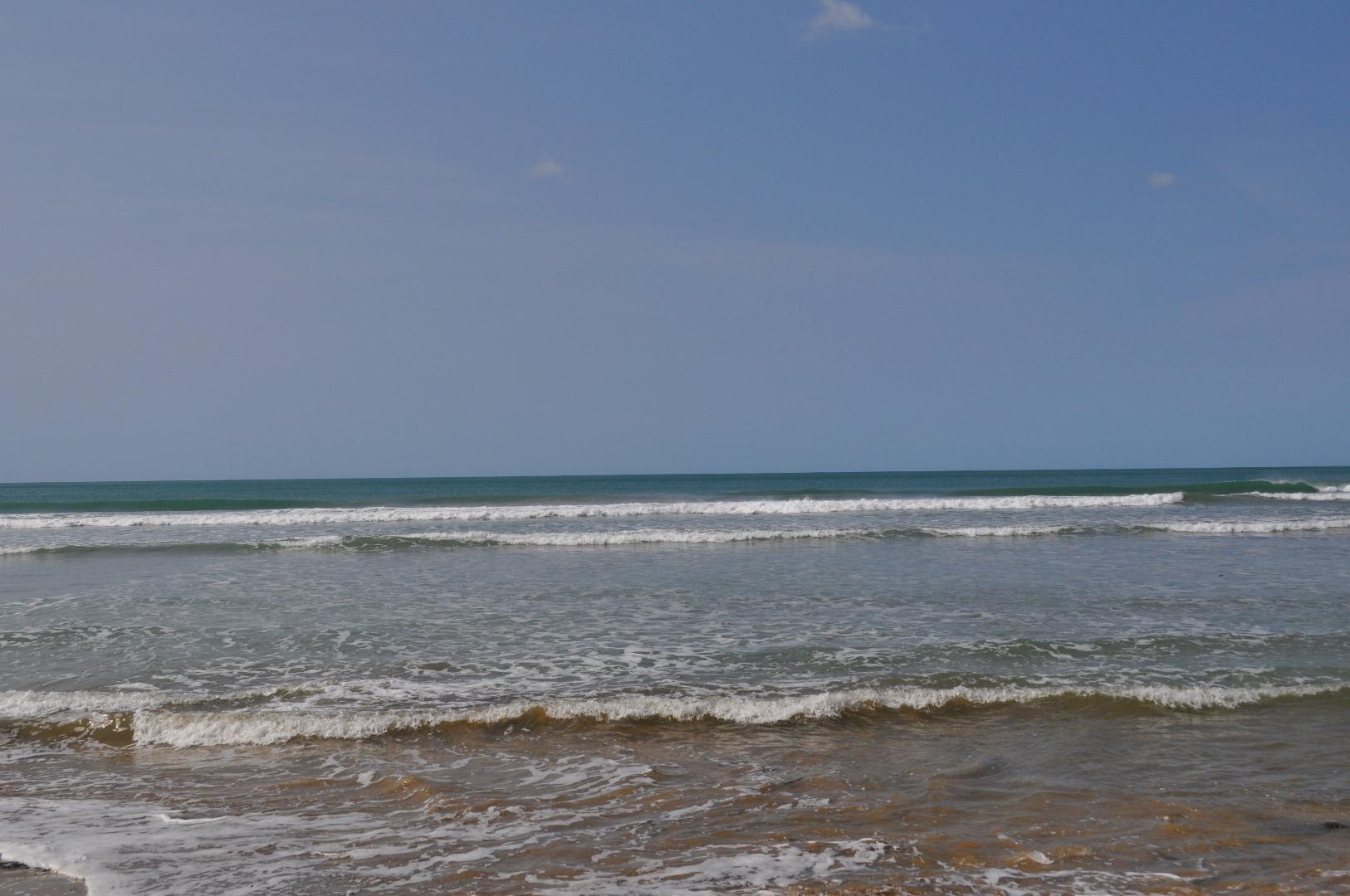
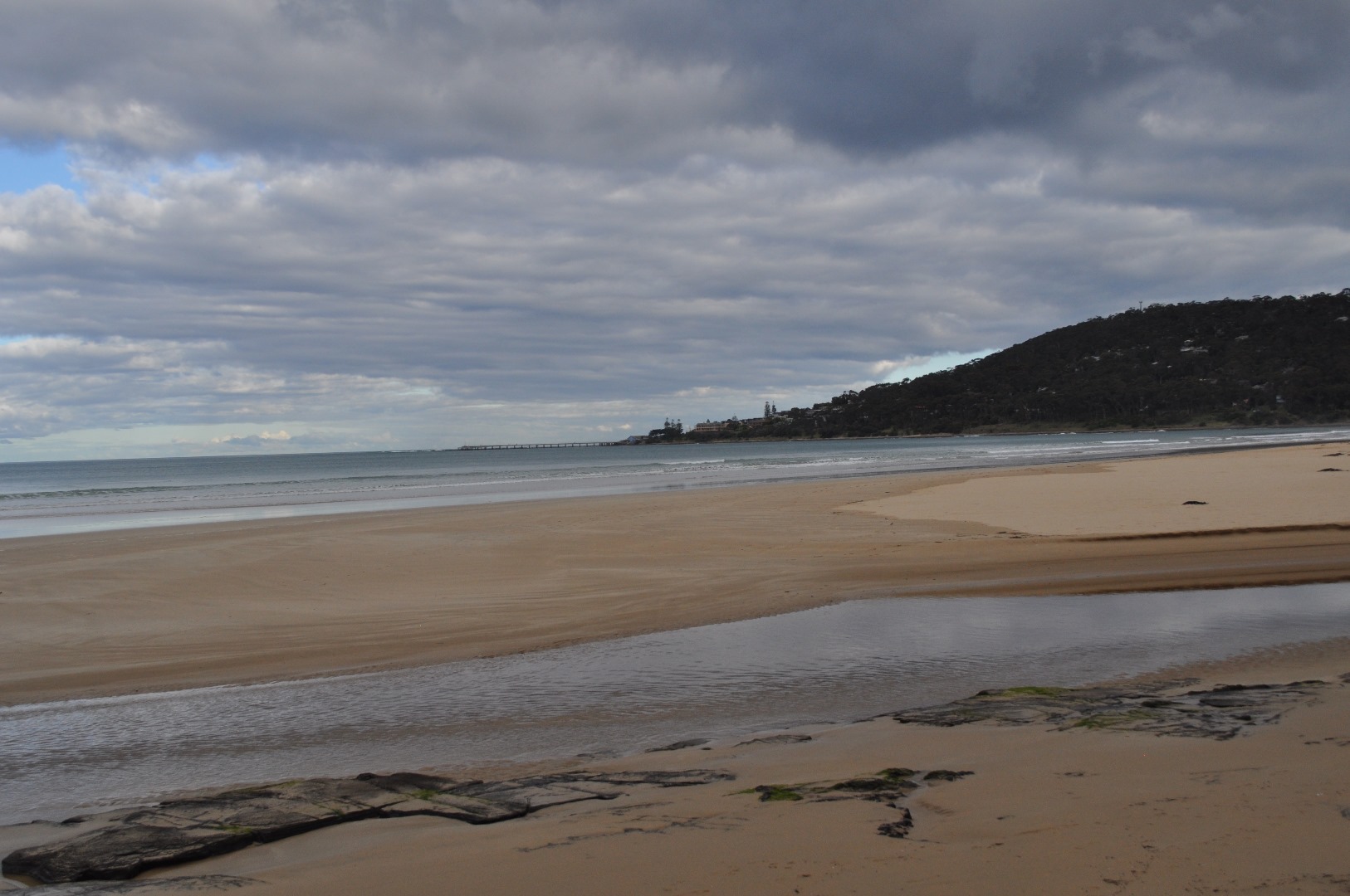
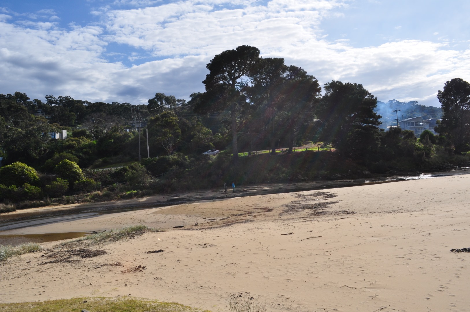
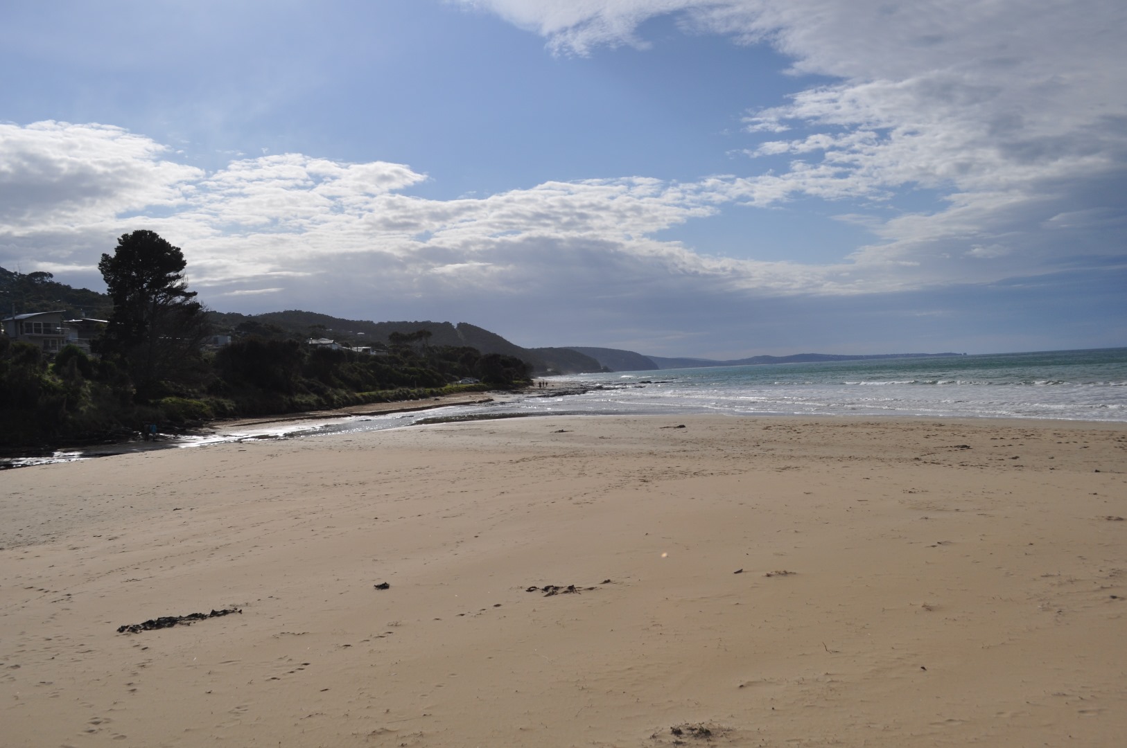
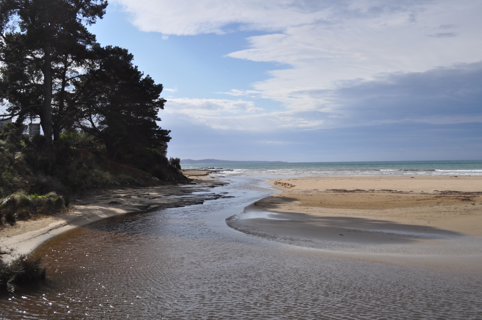
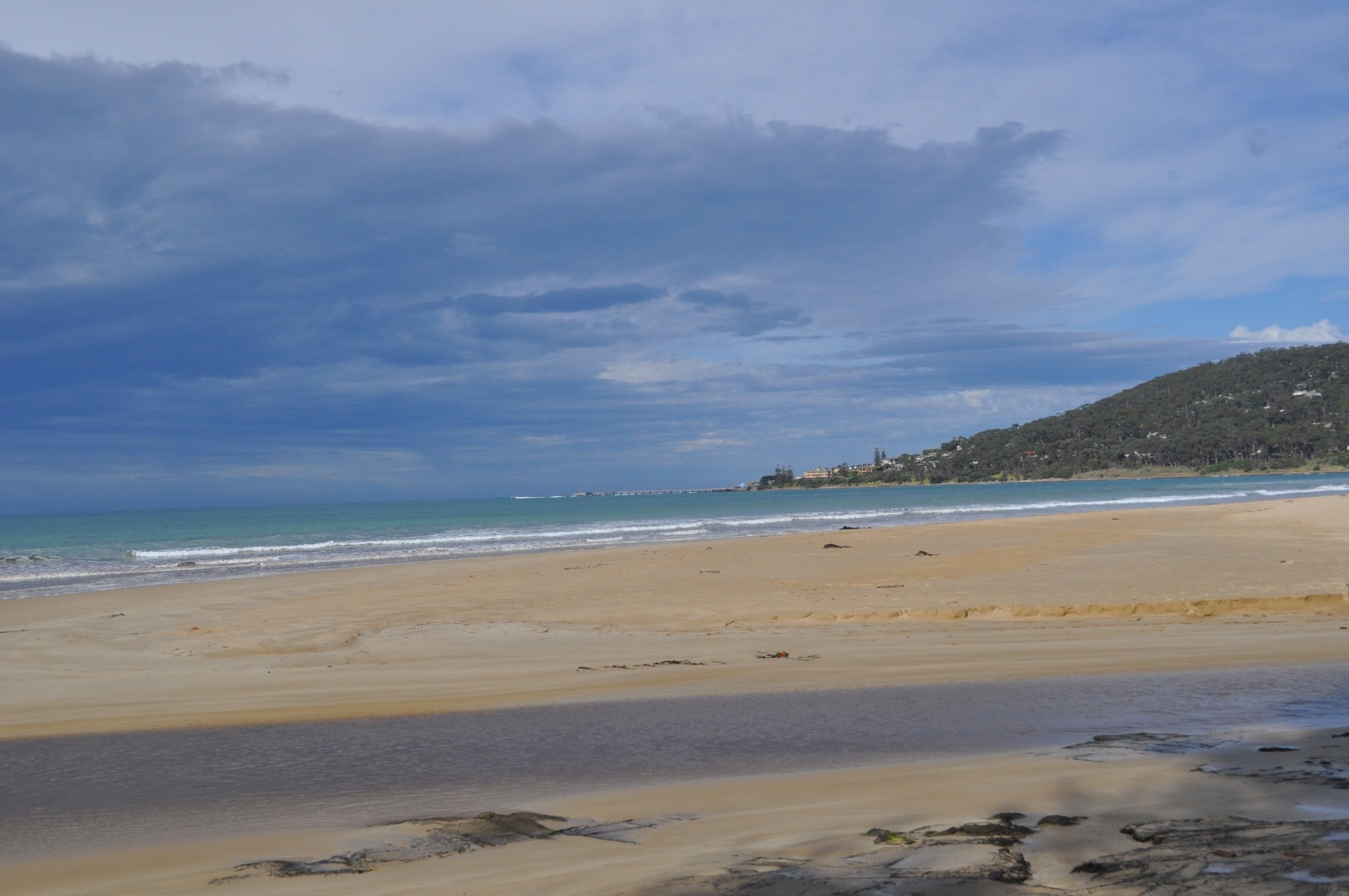
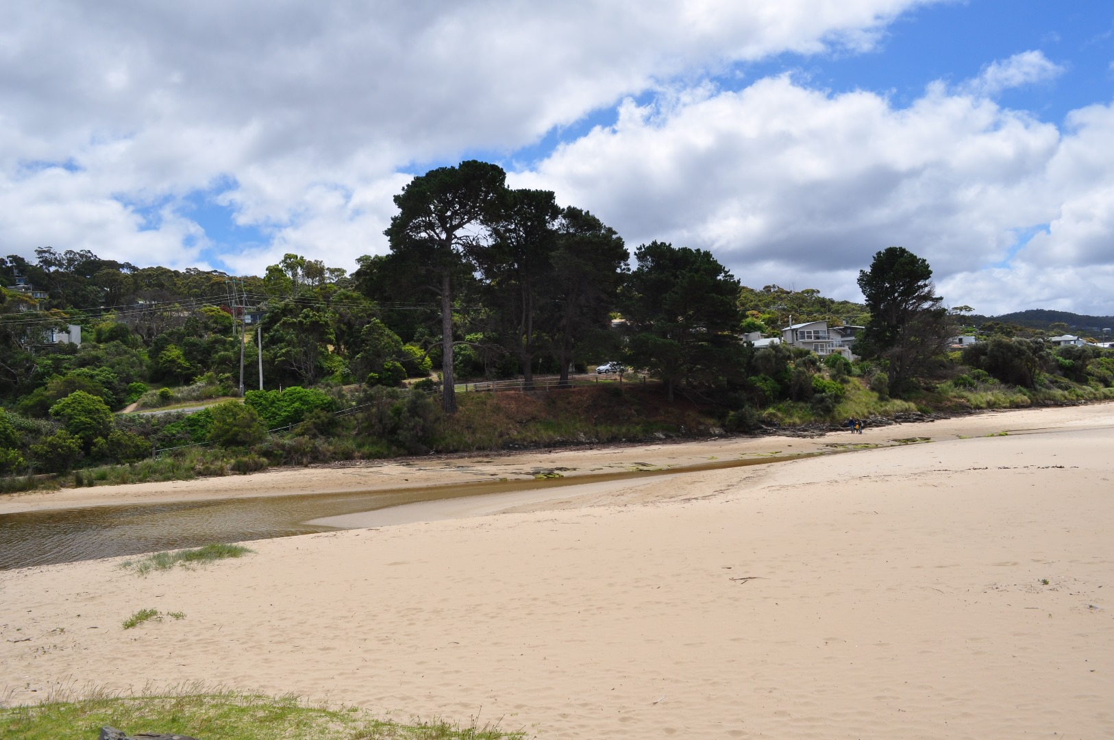
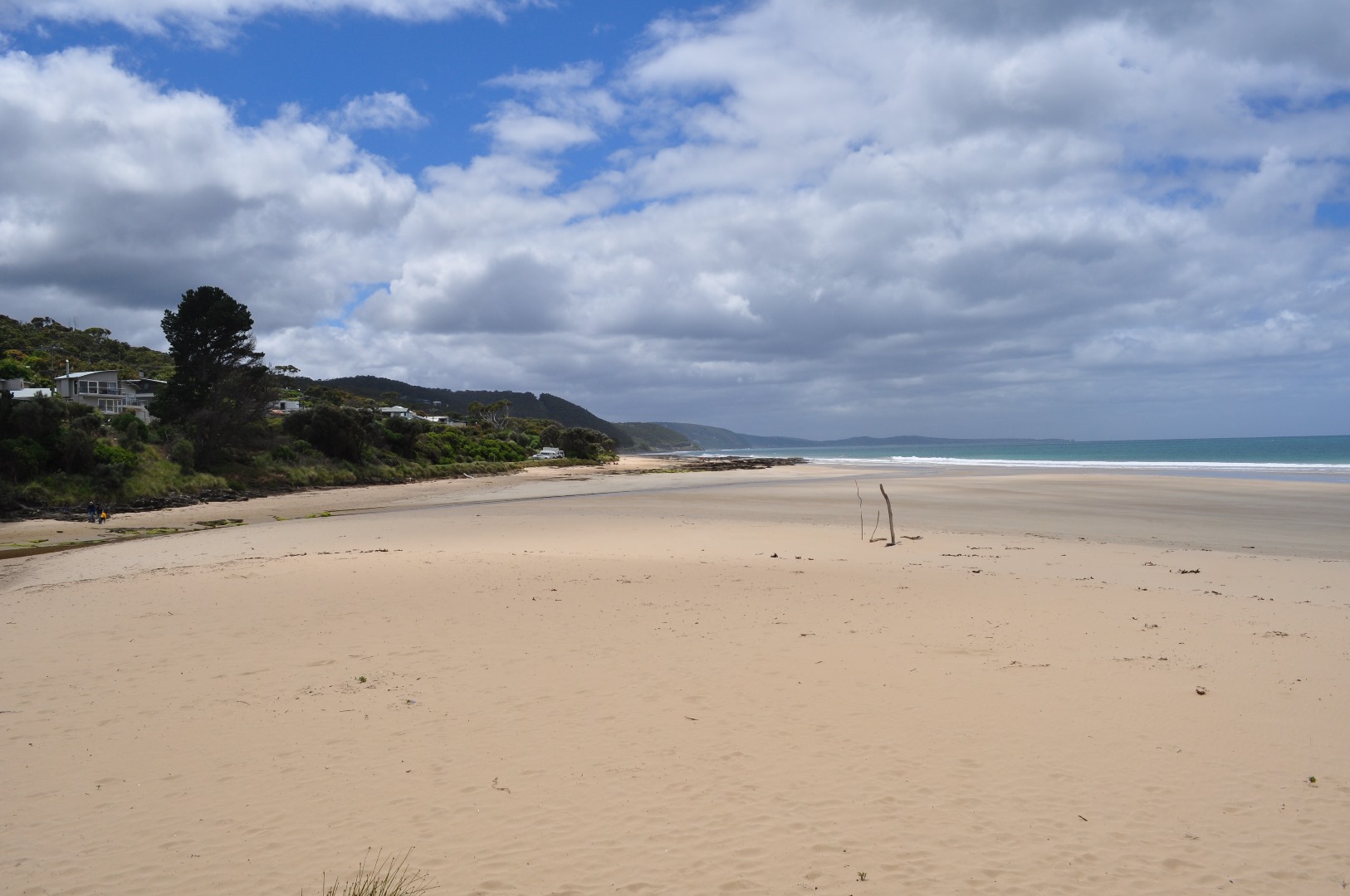
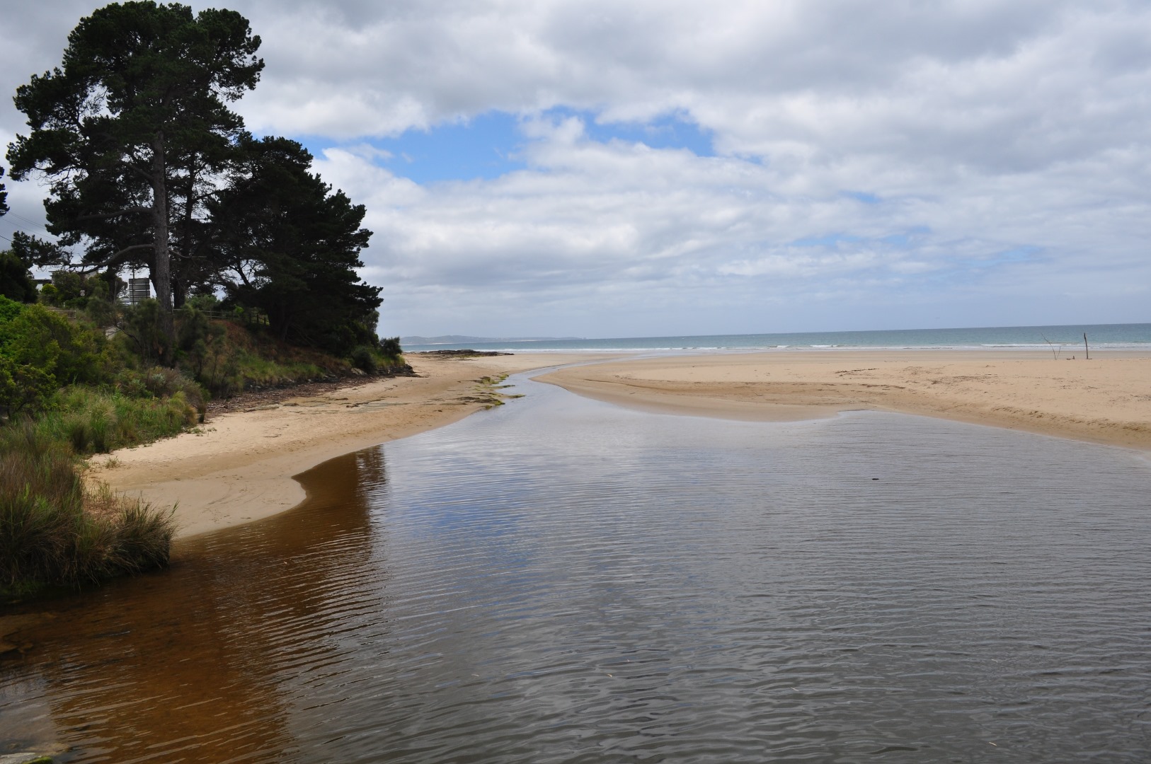
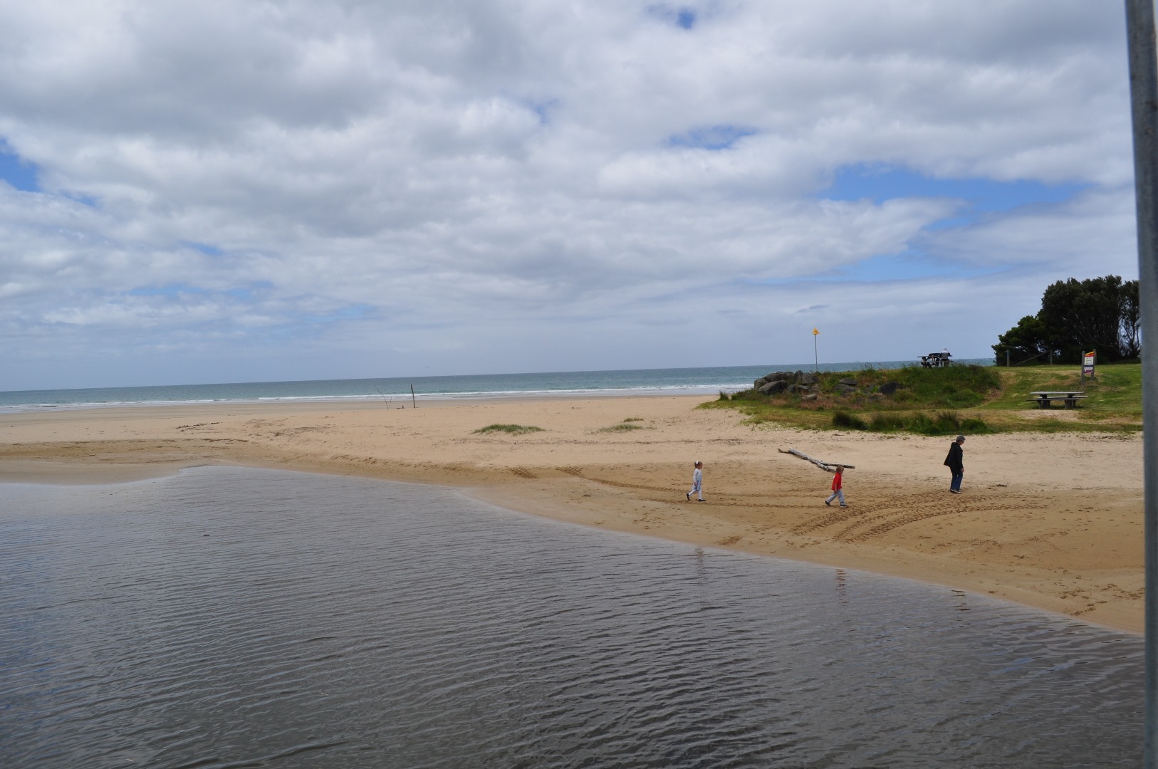
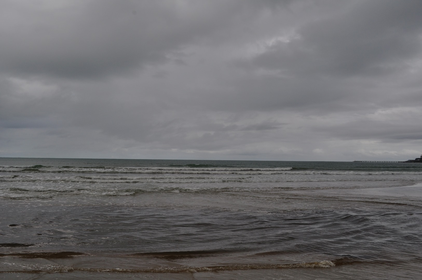
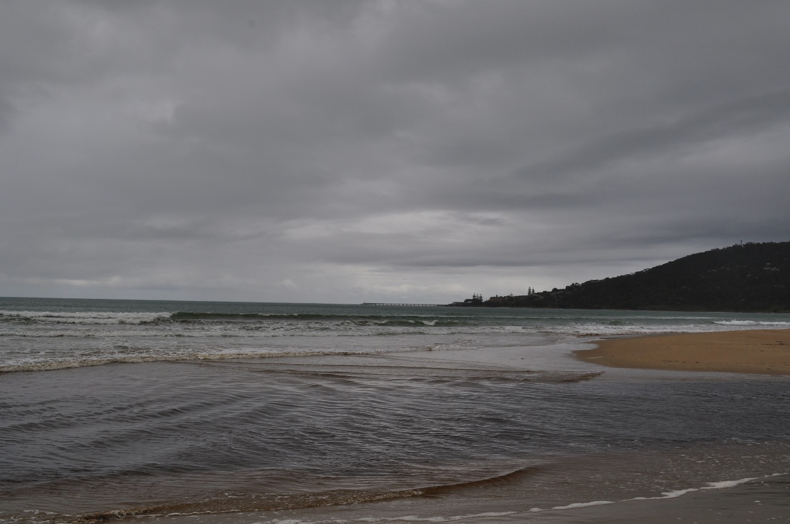
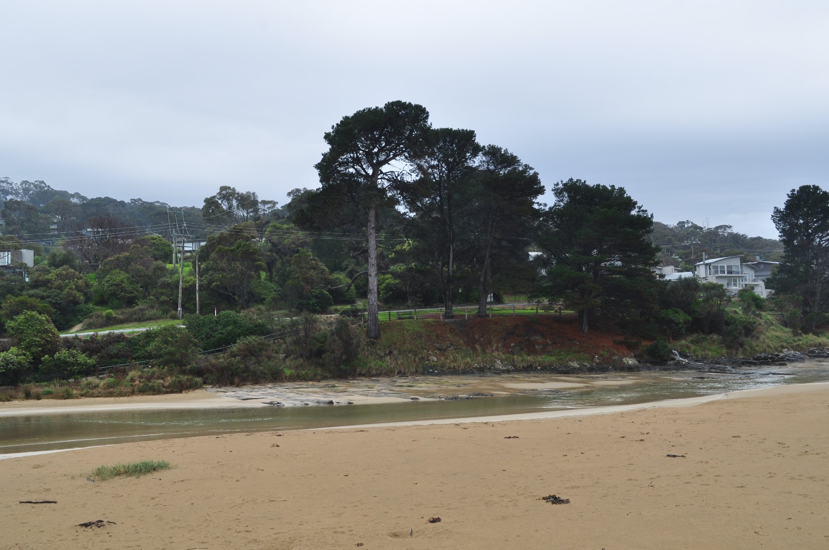
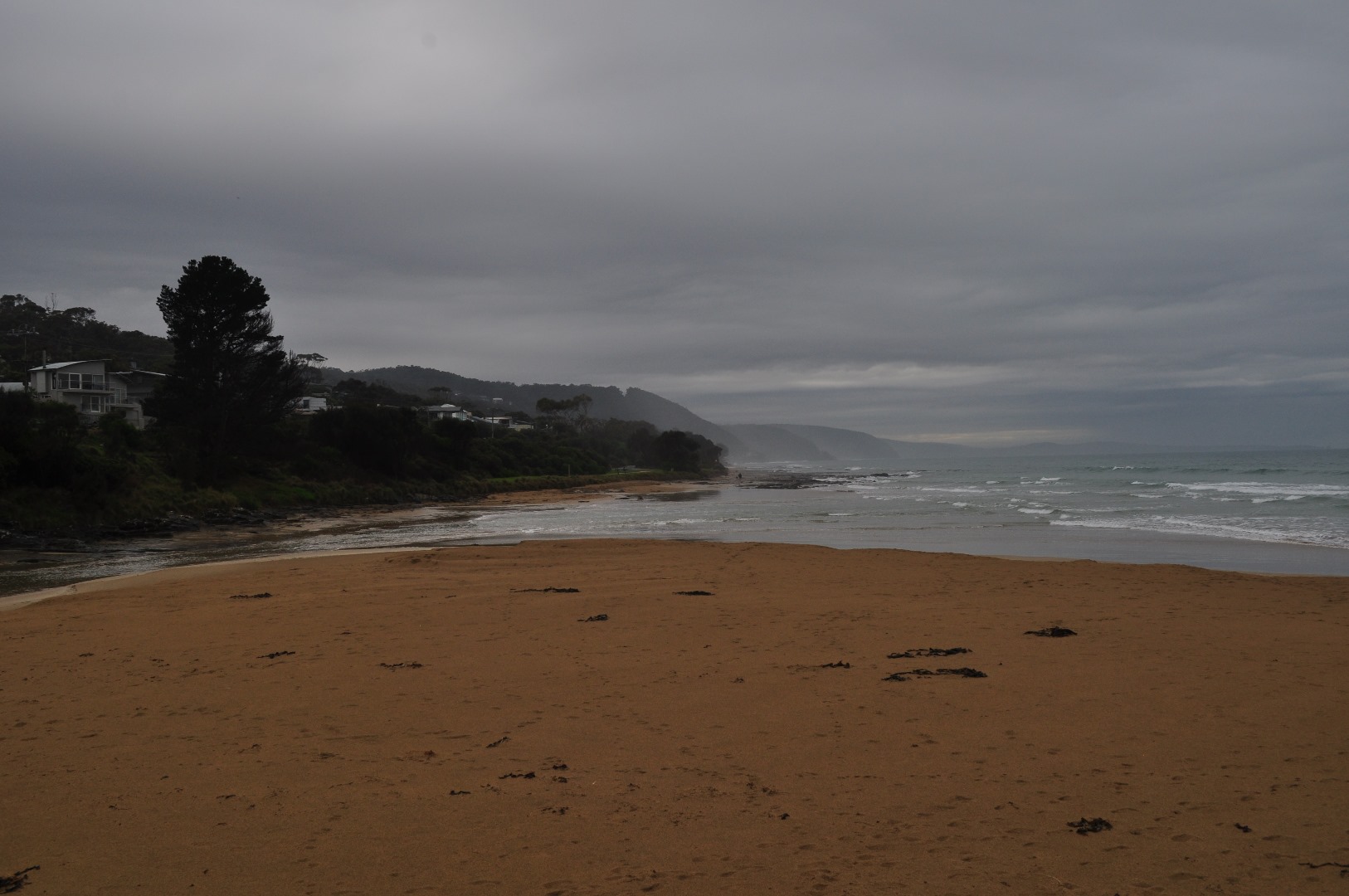
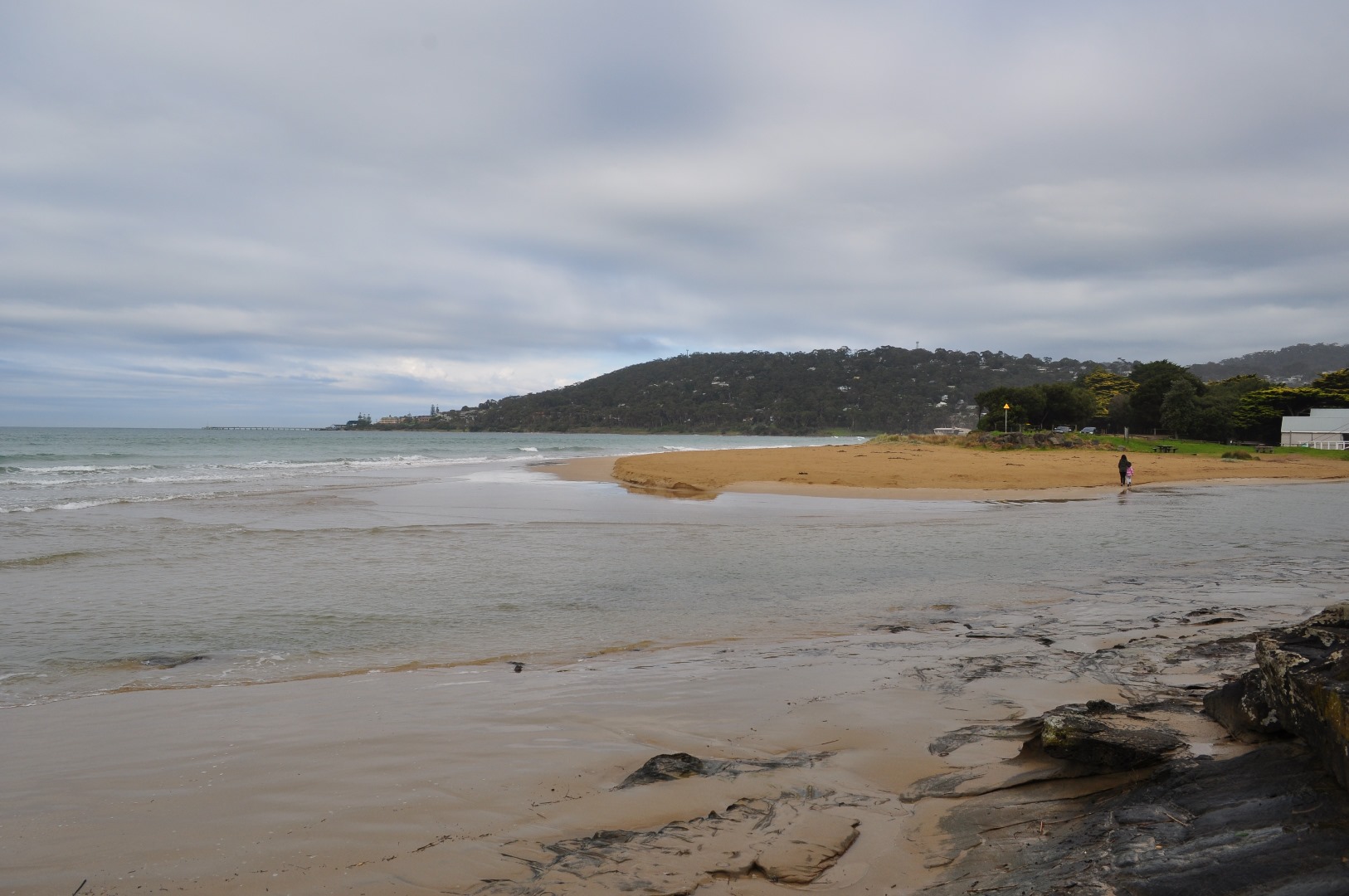
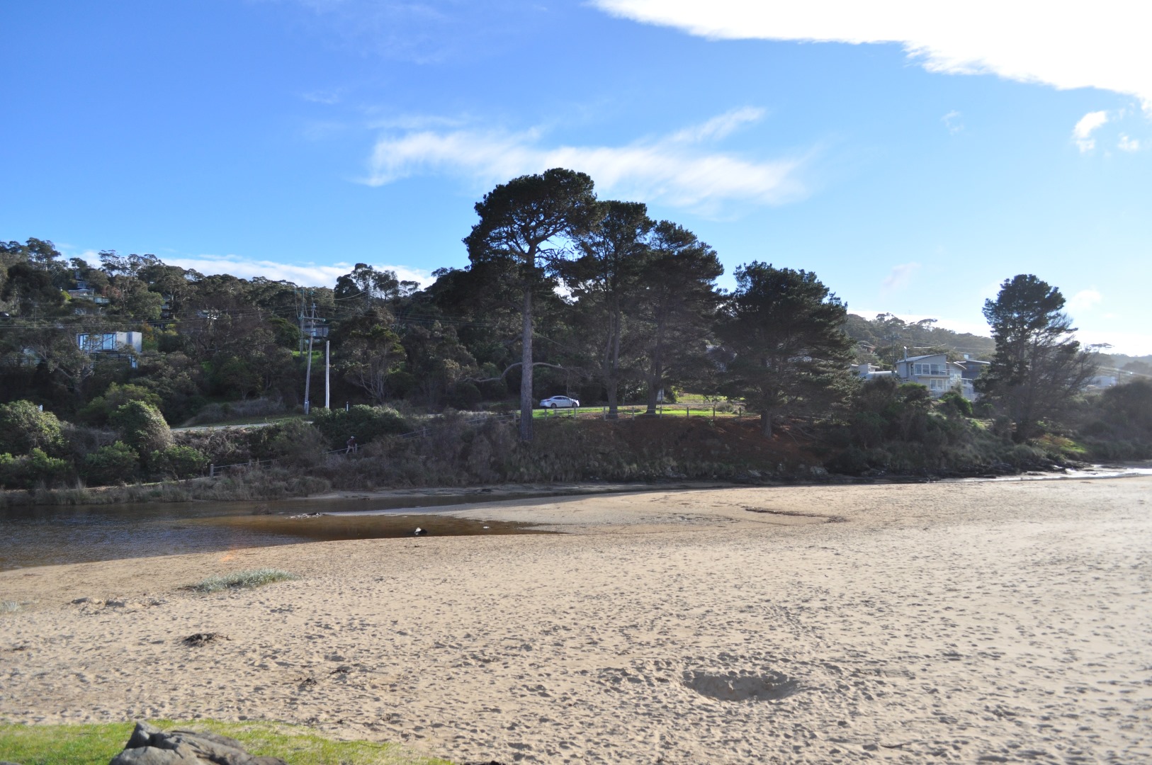
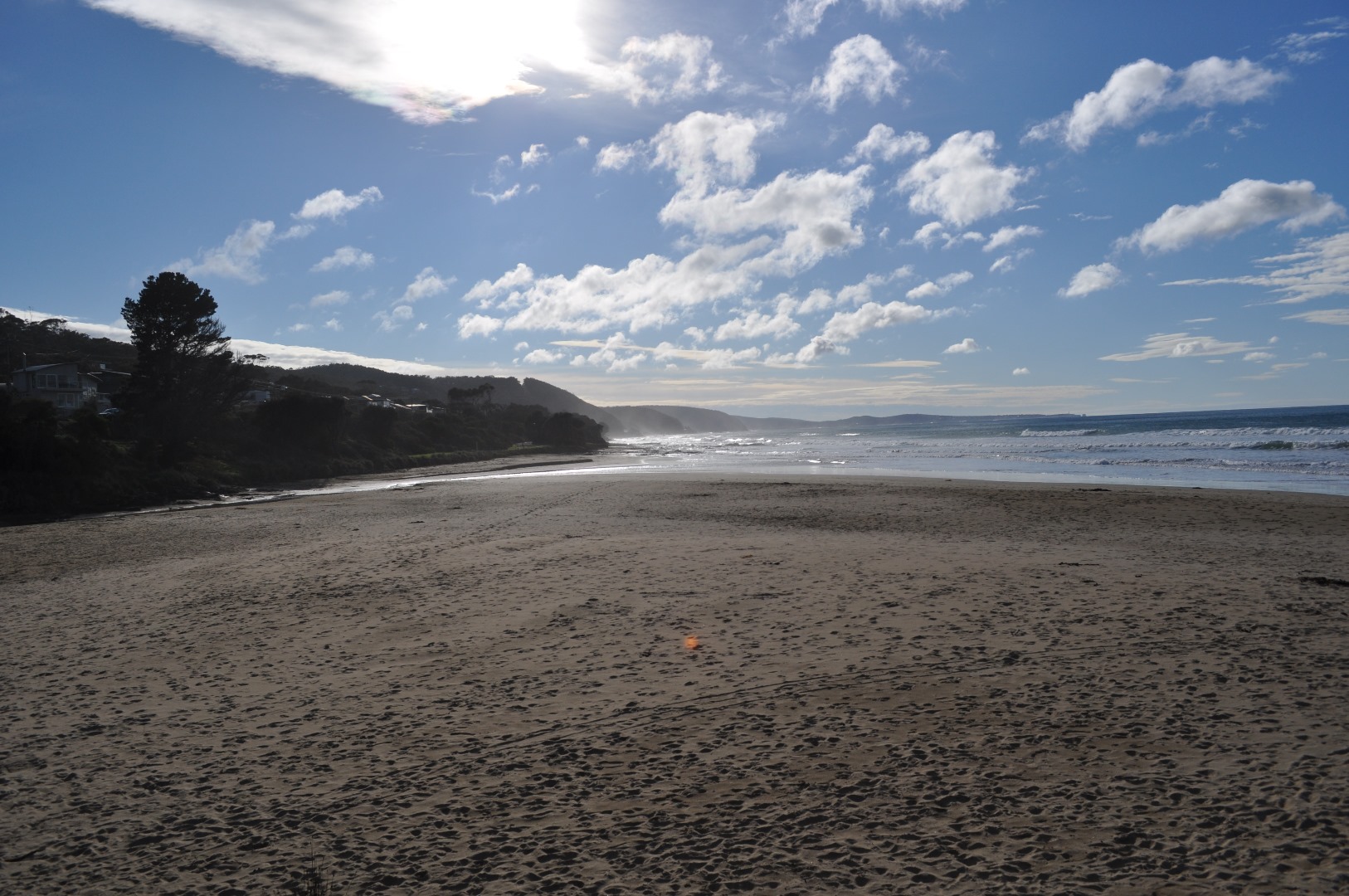
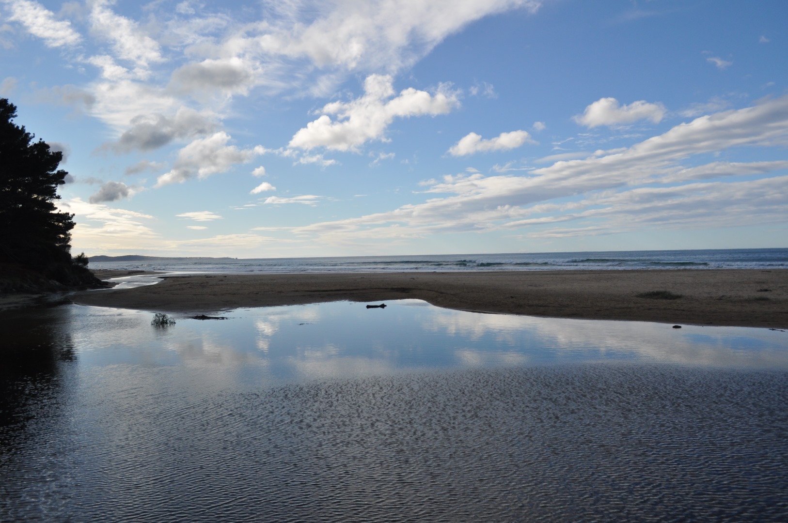
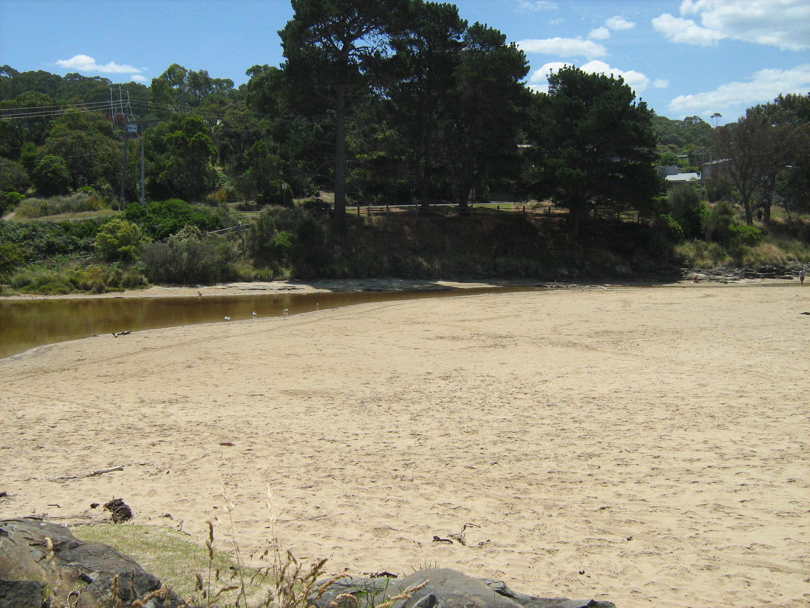
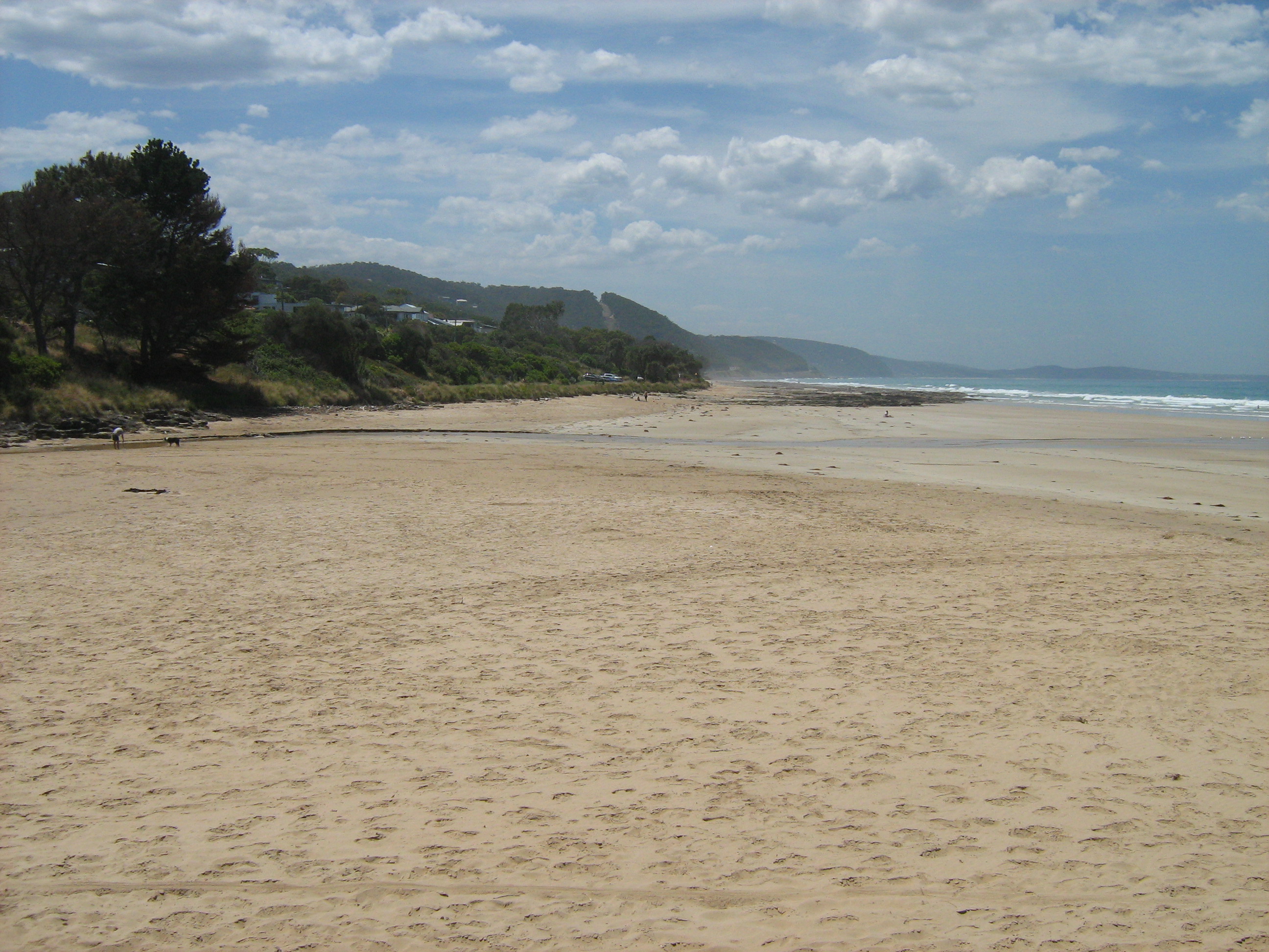
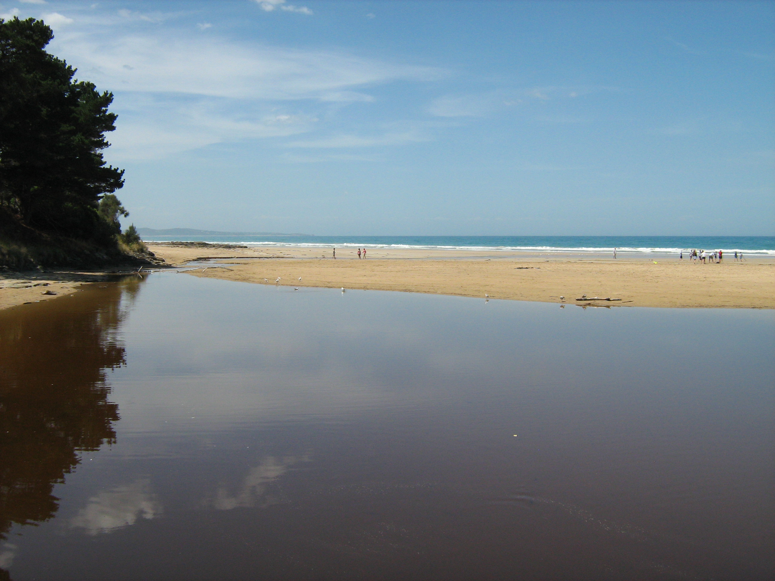
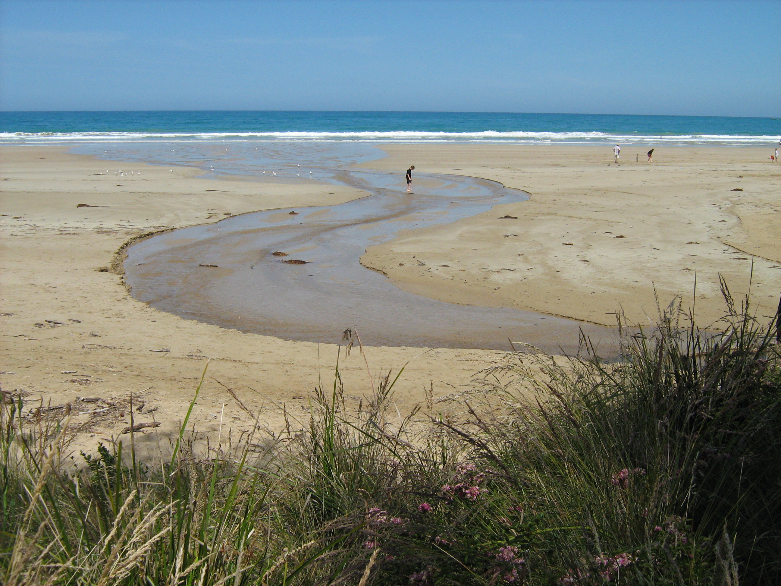
EMC Erskine River Estuary Mouth Observation Site
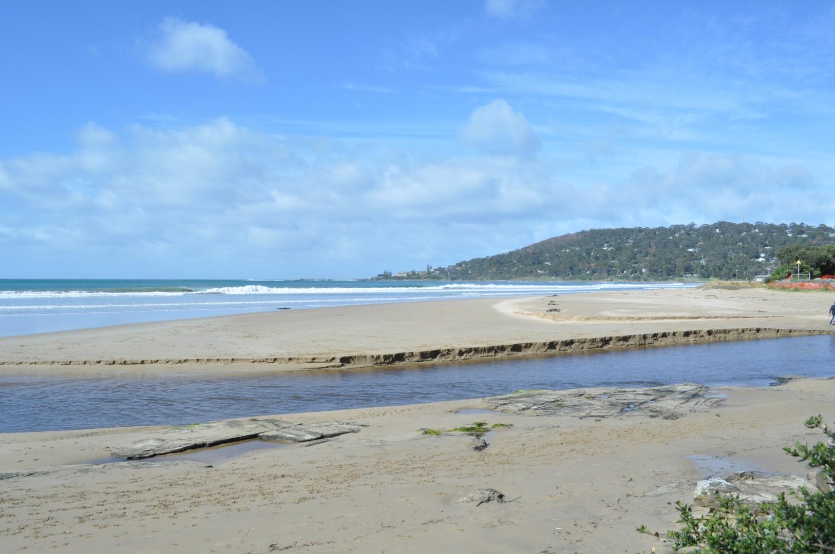
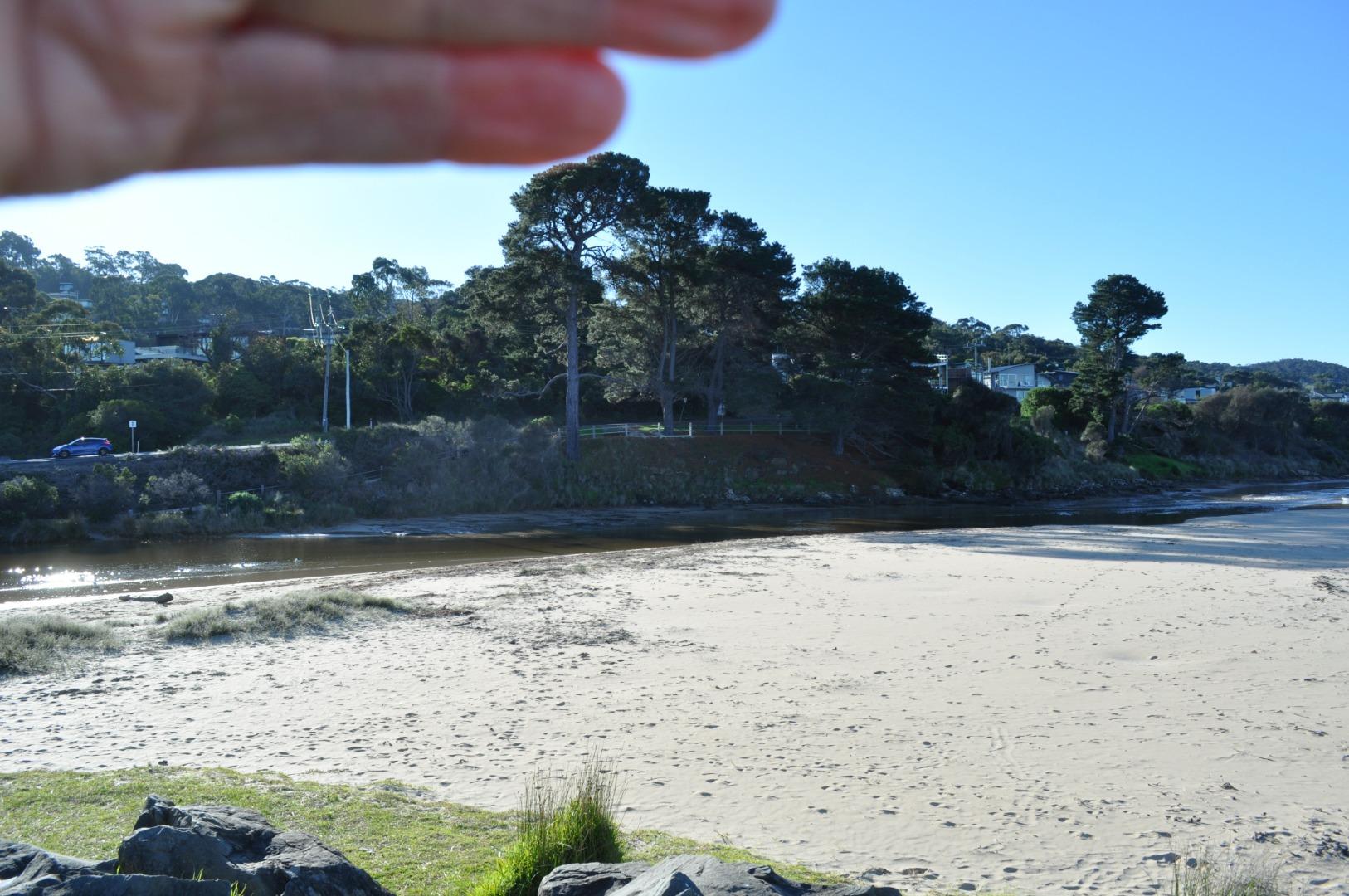
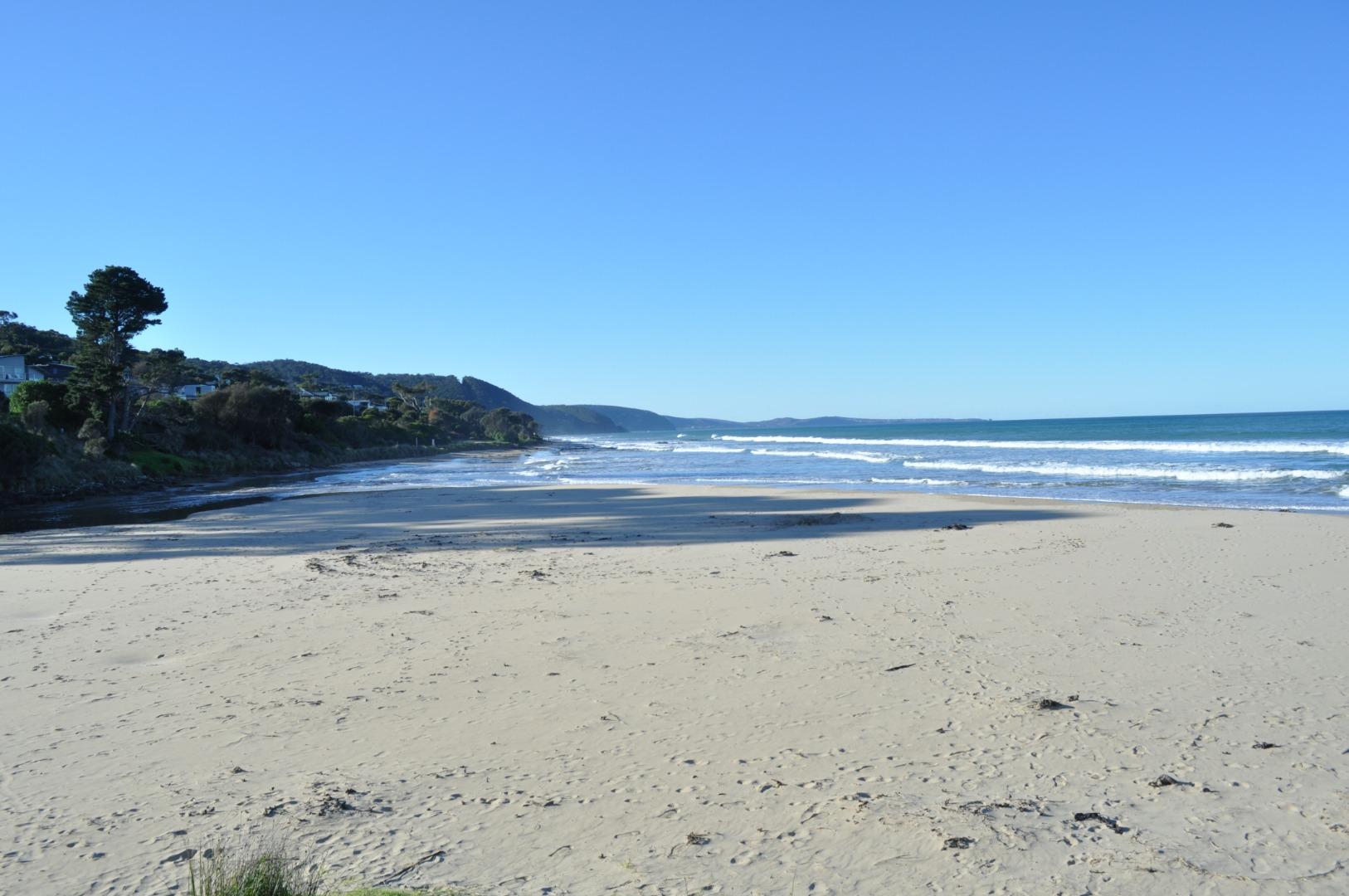
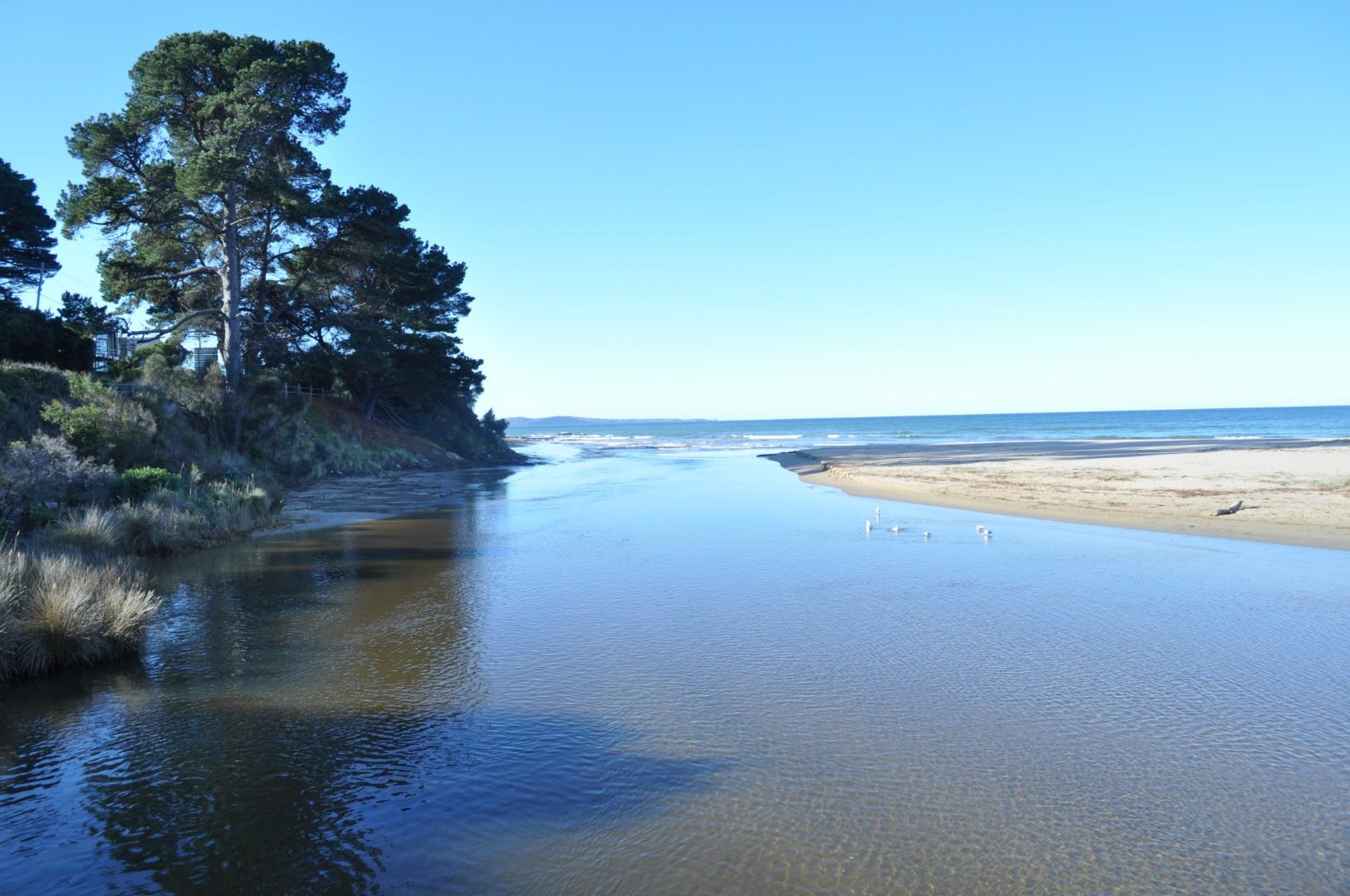
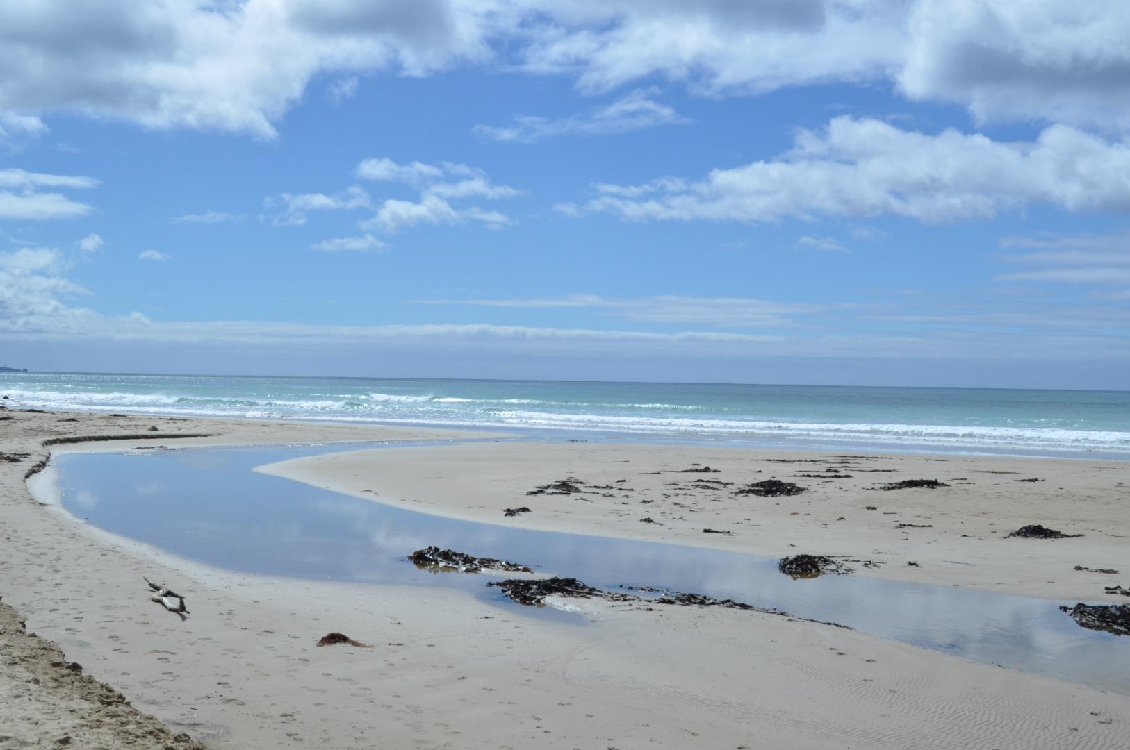
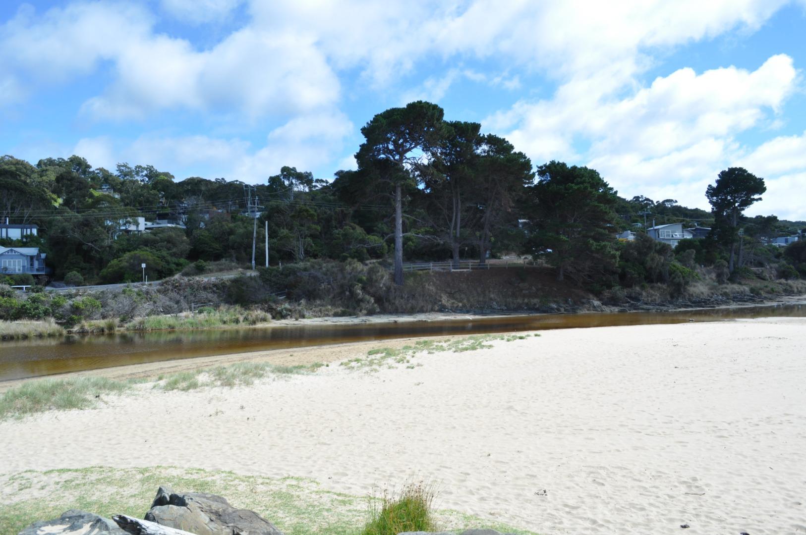
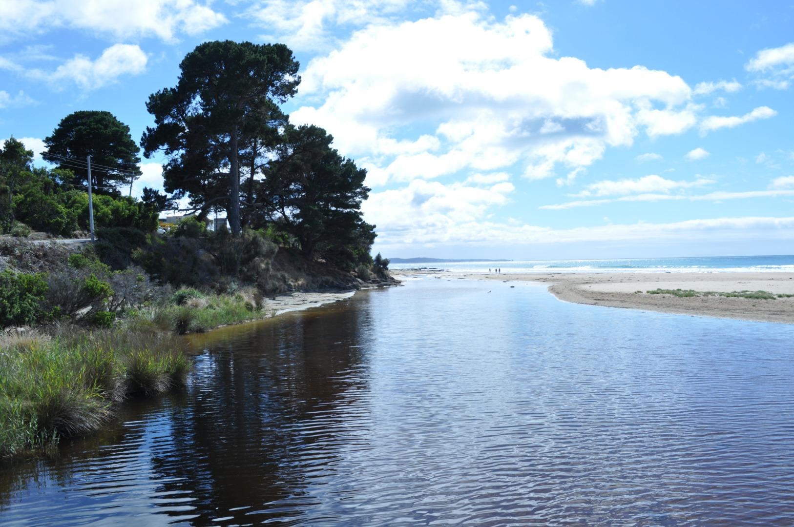
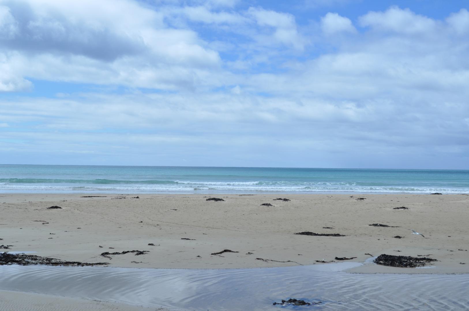
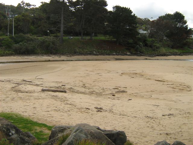
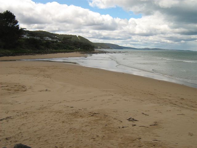
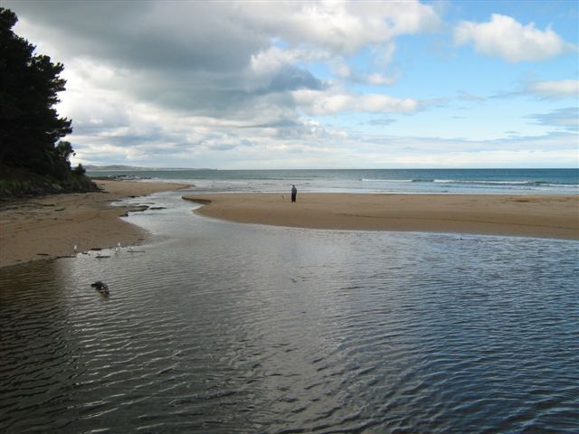
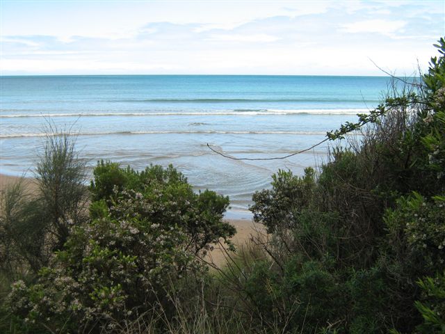
Active Mouth Condition 08-10-2007 - 23-02-2022Erskine River Estuary
| ID | Date | Status | Details | |
|---|---|---|---|---|
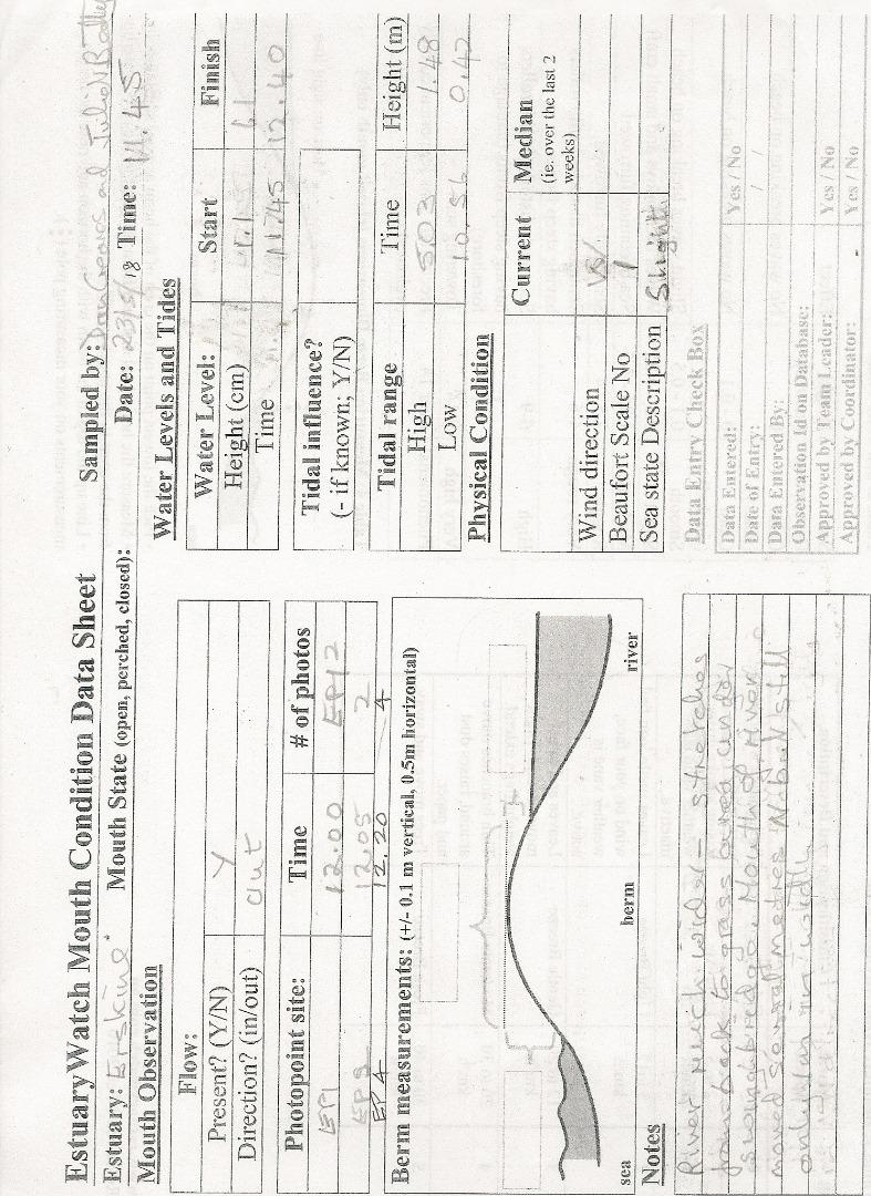
| #14513 | 23 Feb 2022 | Approved |
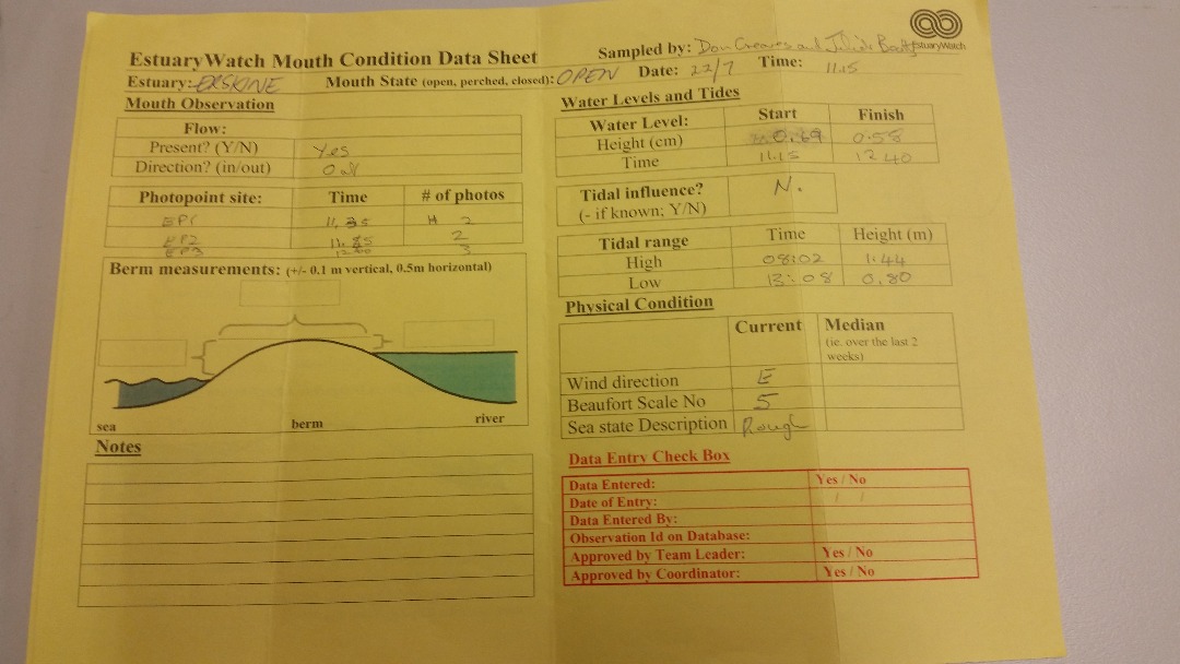
Notes:
Gauge under bridge still so dirty that any depth below 1.5m is completely covered with slime/dirt |
|
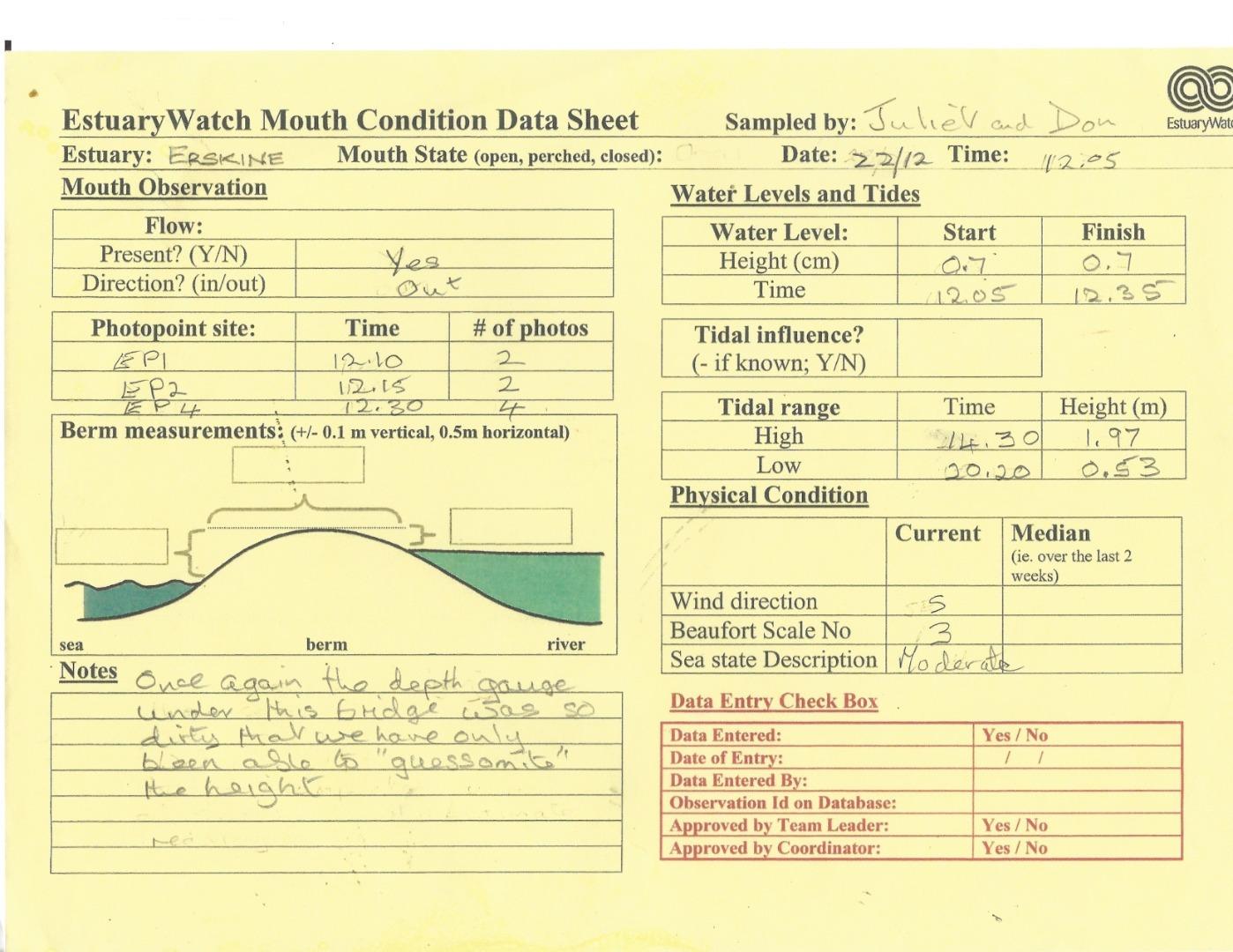
| #14431 | 22 Dec 2021 | Approved |
Notes:
Once again the depth gauge under the bridge was so dirty that we have only been able to "guessomite" the height. |
|
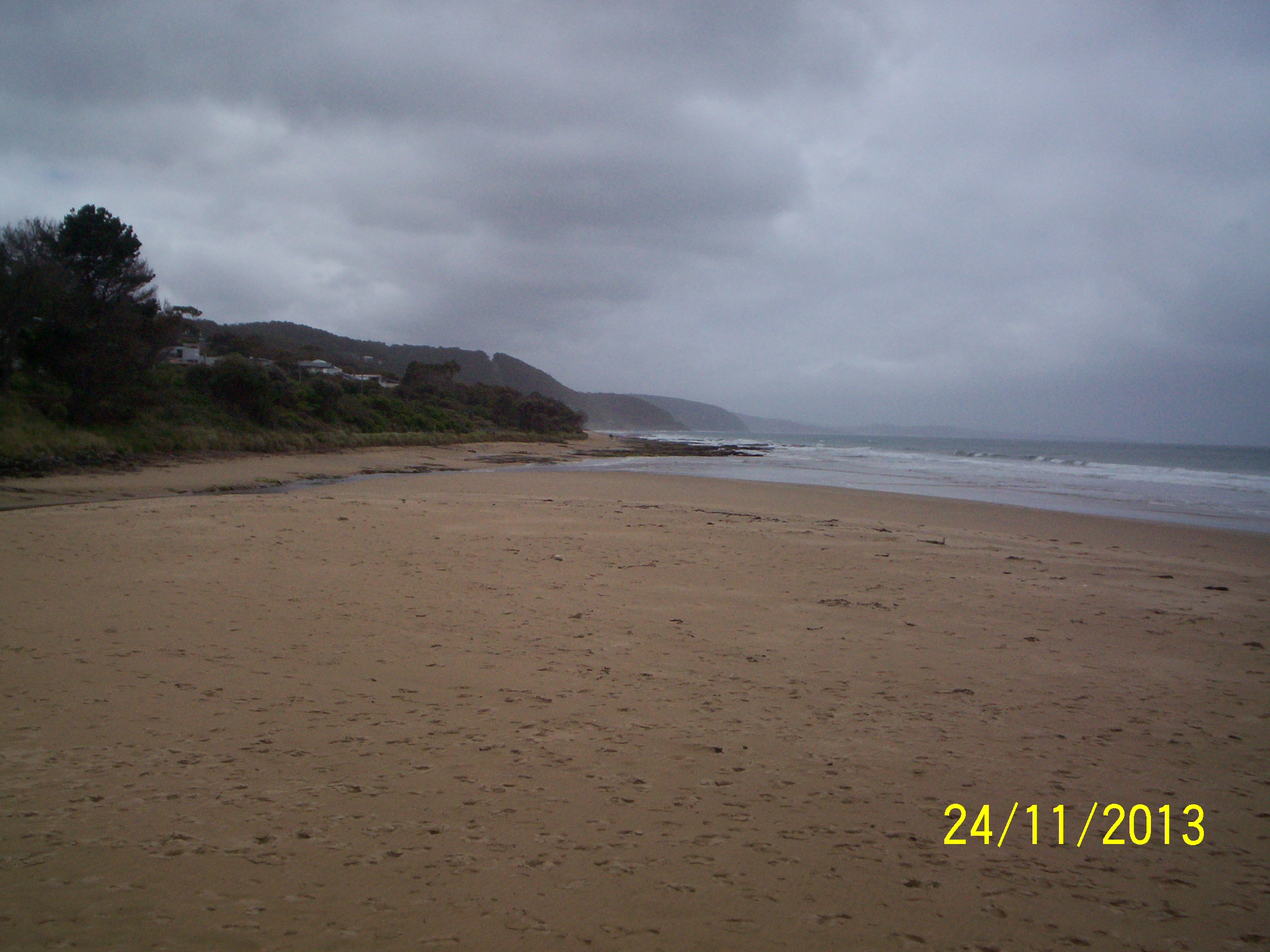
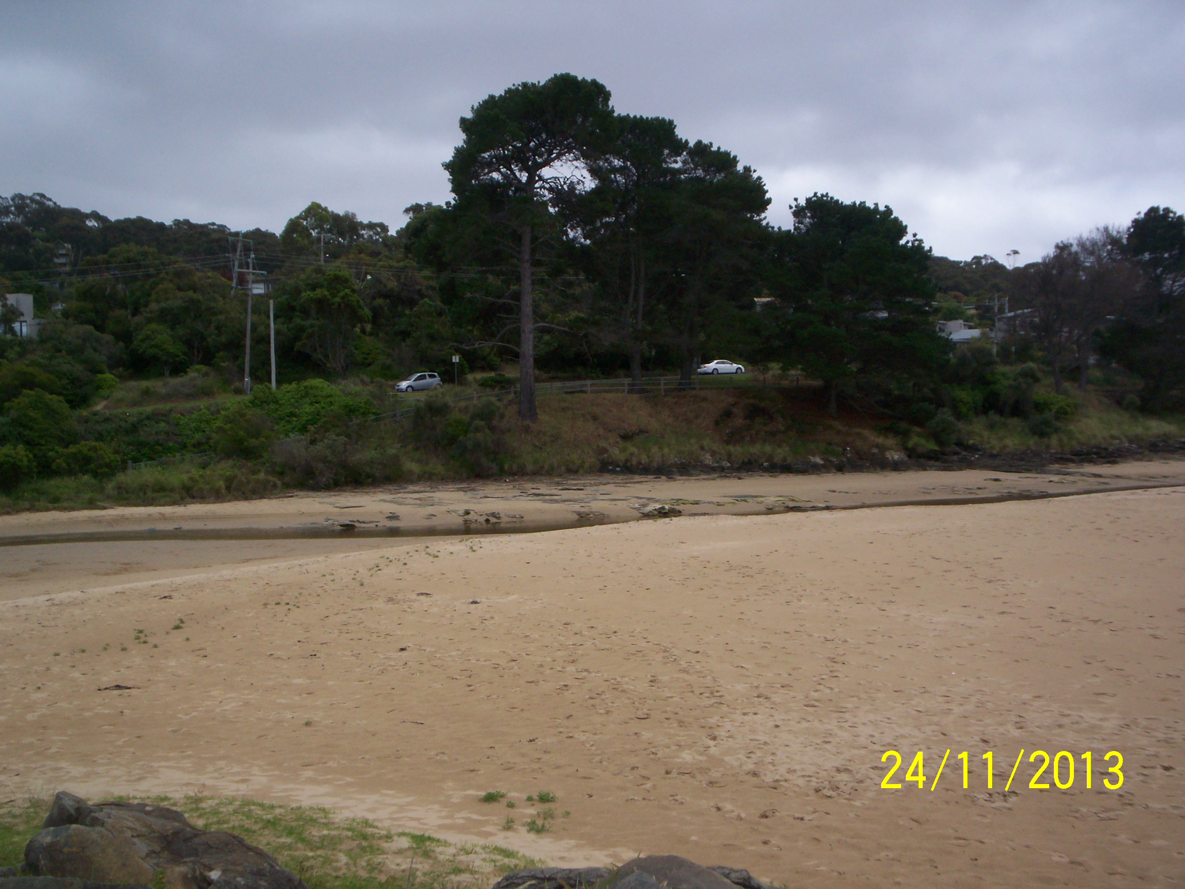
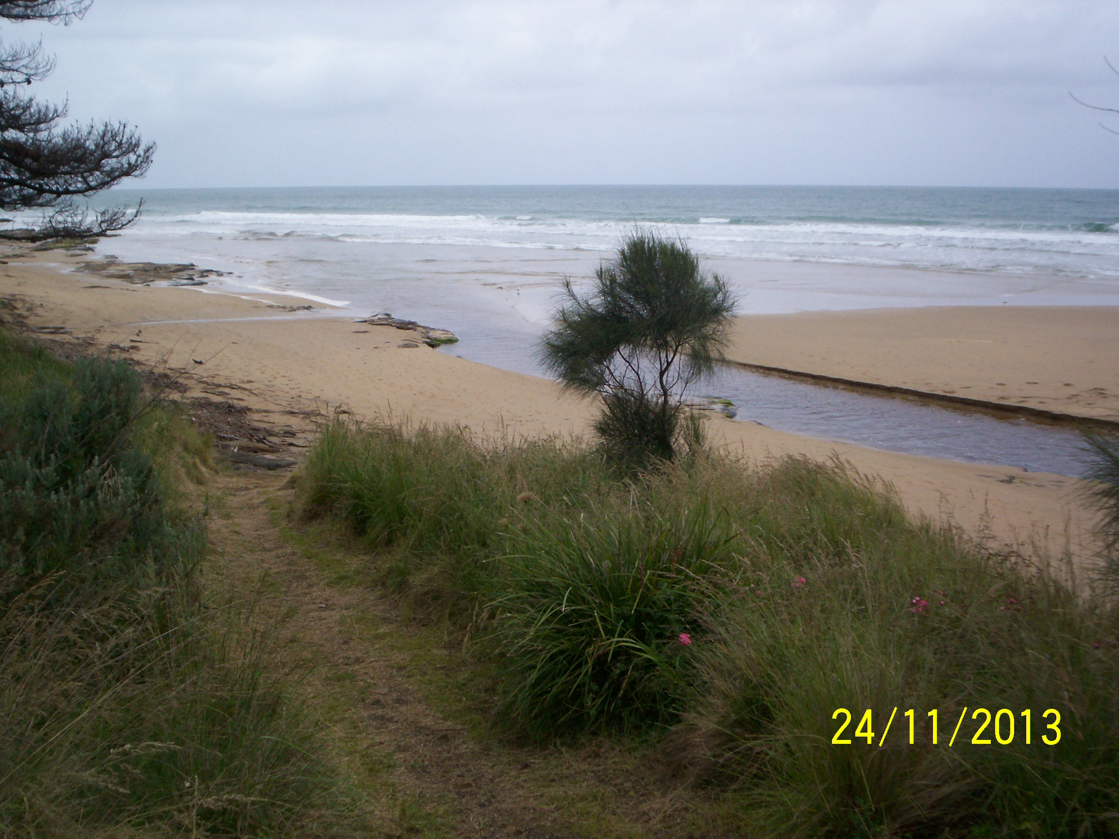
| #14378 | 24 Nov 2021 | Approved |
Notes:
Depth measurer so dirty could only estimate water level |
|
| #14259 | 19 Aug 2021 | Approved |
Notes:
Water gauge under bridge still too dirty to read - so this field shows zero. |
|
| #14214 | 15 Jul 2021 | Approved |
Notes:
Water level under bridge unable to be measured as the markings were covered in mud for any measurement >1m. This has been reported to GORCPA |
|
| #14186 | 16 Jun 2021 | Approved | ||
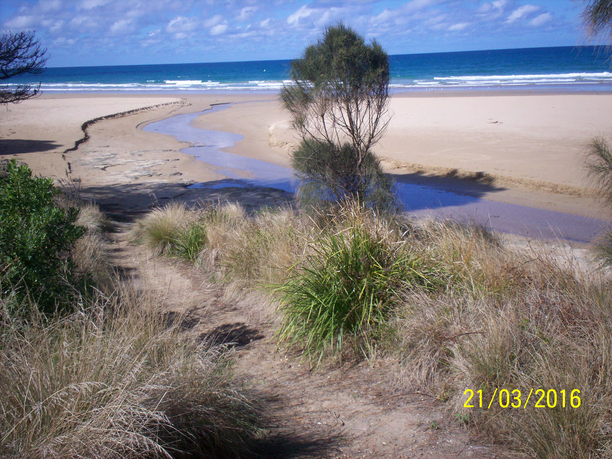
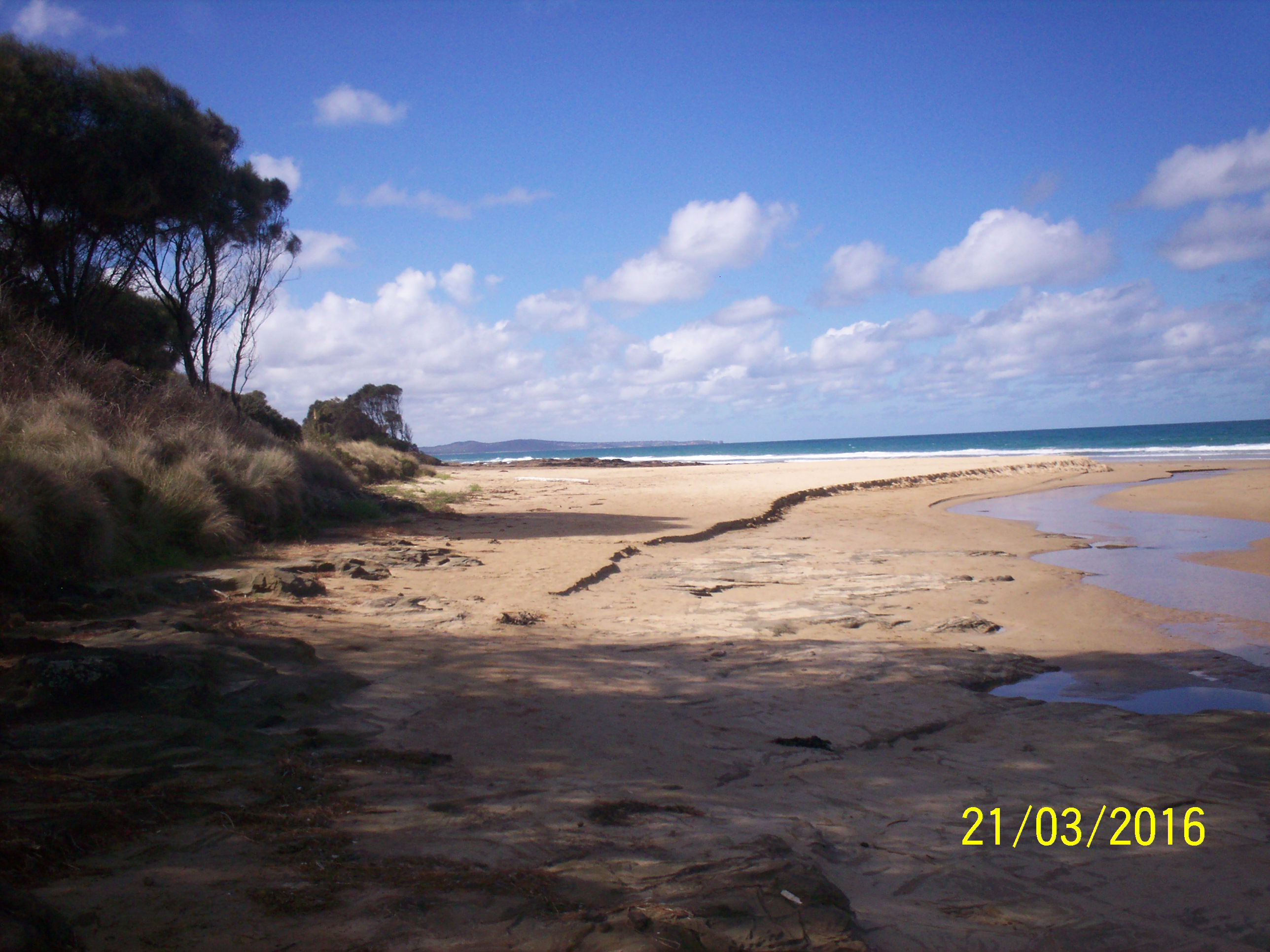
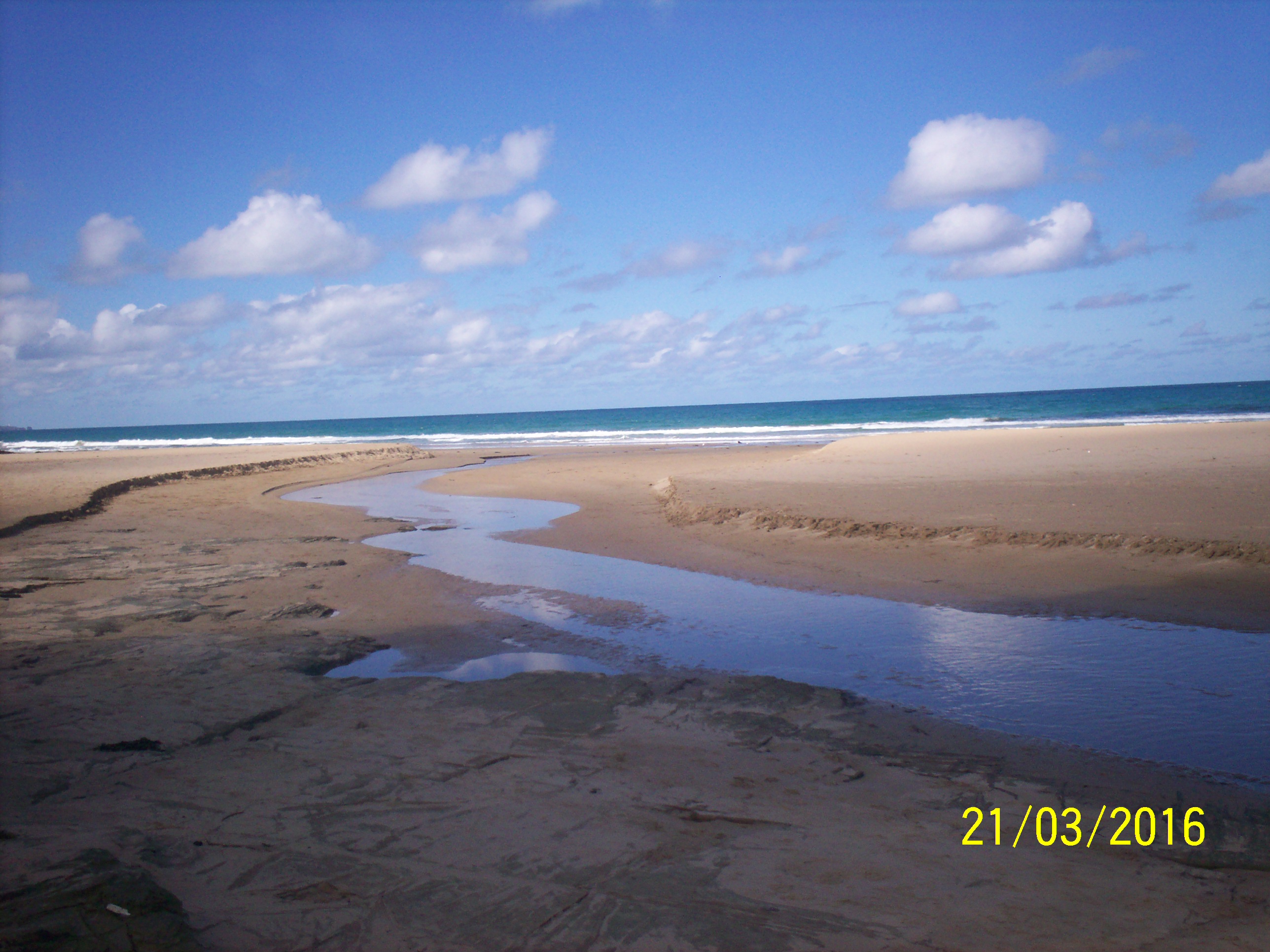
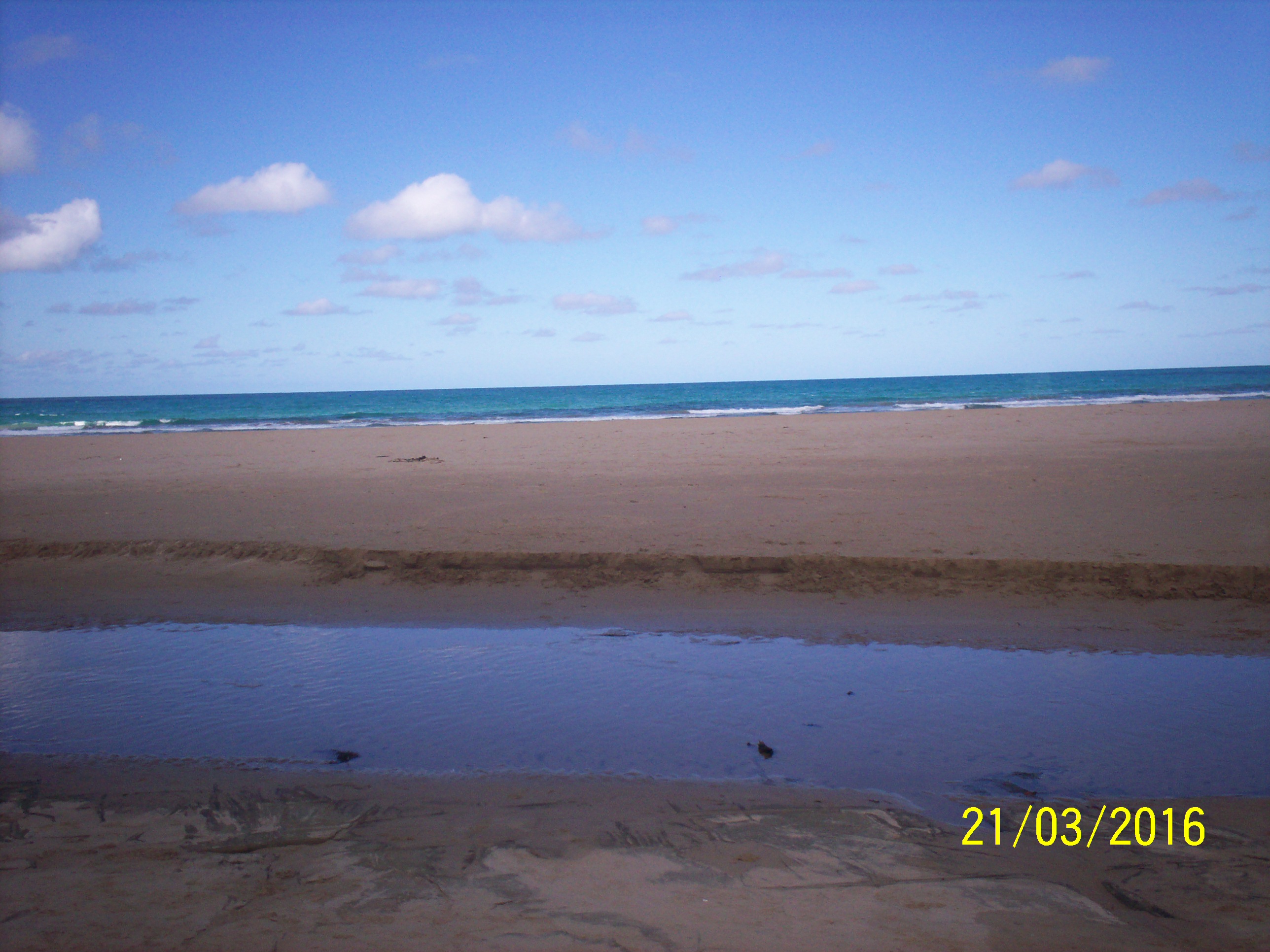
| #13650 | 21 Mar 2020 | Approved |
Notes:
1. The weather was so calm that we couldn't define which direction the wind was coming from! 2. As mentioned in previous data portal entries, though I enter the correct date and time of each photo, after saving the file and then viewing, every single time the dates have reverted to the date/time the files were uploaded to the portal. Therefore the data sheets date/time need to be referred instead. |
|
| #13594 | 21 Feb 2020 | Approved |
Notes:
Water gauge at bridge needs cleaning - measurement was approximated in this visit. Tourists once again questioned us about the sign indicating the river water was not suitable for swimming.
|
|
| #13546 | 19 Jan 2020 | Approved | ||
| #13479 | 20 Dec 2019 | Approved | ||
| #13438 | 26 Nov 2019 | Approved | ||
| #13379 | 20 Oct 2019 | Approved | ||
| #13345 | 24 Sep 2019 | Approved |
Notes:
Water gauge had been cleaned |
|
| #13283 | 21 Aug 2019 | Approved |
Notes:
Water level meter was so dirty we were unable to take any measurements. We have reported on this several times, and requested that we be given a contact name/tel no. of the person responsible at GORCC to this is carried out on a regular. I shall give the contact to Uric Orr who has offered to monitor the situation for us to ensure the meaurements are clear prior to each visit. |
|
| #13215 | 20 Jul 2019 | Approved | ||
| #13161 | 19 Jun 2019 | Approved | ||
| #13111 | 22 May 2019 | Approved | ||
| #12903 | 27 Apr 2019 | Approved | ||
| #12798 | 20 Mar 2019 | Approved |
Notes:
1. Gauge under bridge needs cleaning, hard to read measurements. 2. River nearly perched as seaweed was piled up at the narrow mouth. Saw shoals of fish 10-15cm under bridge, unfortunately unable to identify them. |
|
| #12734 | 20 Feb 2019 | Approved | ||
| #12678 | 23 Jan 2019 | Approved | ||
| #12613 | 19 Dec 2018 | Approved |
Notes:
Error found in Data Sheet after it was scanned. Low tide shown as 2.06 (am) should have been 2.06 pm (24 hr clock not used on Internet Lorne Tide Times). I incorrectly added the site number Ep4-4 into the Data Sheet Photopoint field and could not delete it. |
|
| #12551 | 22 Nov 2018 | Approved |
Notes:
Once again the date and time of the photo points wasn't saved after data entry. On review these had reverted to date and time of when photos/form were downloaded to USB. This has happened for several months now. Don't know what the ramifications for data analysis will be. |
|
| #12474 | 24 Oct 2018 | Approved |
Notes:
Deidre - Please note that there is still a problem with the software as although I carefully enter the date/time each photo was taken and then save, when I go into view, the dates all revert to the day/time I entered the data!
However in Edit mode the date/time is correct! |
|
| #12407 | 20 Sep 2018 | Approved |
Notes:
Deidre. I don't know why I have never noticed this before but I see that though I change the date on all the photos to the day/time when photo is taken it seems to revert to the date/time when photos were uploaded into the portal in the view window. This also applies to the data sheet uploaded. Tho on the portal the date is correct. Then when I go into Edit to change things the dates look correct.
Is their an explanation for this? |
|
| #12379 | 23 Aug 2018 | Approved | ||
| #12245 | 26 Jun 2018 | Approved |
Notes:
The water gauge under the bridge is still dirty (as it was last month). We could only estimate water height. Saw some water birds for the first time for months. 1 cormorant and 2 herons. |
|
| #12085 | 23 May 2018 | Approved | ||
| #12022 | 27 Apr 2018 | Approved |
Notes:
One heron resting in reeds - first time we have seen any wild life for some months. Omission on Data Sheet. Just noticed when I reviewed this scan that I had omitted to enter the number of photos taken at each sight. Apologies. However the number taken is as usual. Problem! First time I tried to upload data sheet .pdf file it was unsuccessful. So I tried a second time. However I now find there are 2 copies and I don't know how to delete one! |
|
| #11931 | 22 Mar 2018 | Approved |
Notes:
Please note there were very high winds and stormy conditions and yet the Beaufort scale table on the data sheet's B.No 1, only went up to 5 (Fresh Breeze) so when I came to enter the data into Estuary Watch and I noticed the Beaufort Scale allowed for more severe conditions I up graded the scale. So please be aware that scanned sheet will not truly reflect either B Scale or Sea State readings. Can I suggest that when the Data Sheet is updated next time both Table 1 and 2 be adjusted? At the same time Photopoint Site table needs to include at least another line as there are more than 2 sites on the Erskine River. Allow please note that I am still unsure whether I am entering the correct times for the High and Low Tides - perhaps we could talk about that when we next catch up? |
|
| #11847 | 23 Feb 2018 | Approved | ||
| #11774 | 25 Jan 2018 | Approved |
Notes:
River flowing very slightly towards sea. Wind gusting a bit in fact by the time we got to EP4 it had really dropped all together. |
|
| #11693 | 21 Dec 2017 | Approved | ||
| #11640 | 22 Nov 2017 | Approved |
Notes:
The gauge under the bridge is still very dirty. |
|
| #11557 | 19 Oct 2017 | Approved |
Notes:
Gauge under bridge is so dirty that water level reading is almost obscured, so this is an estimate only. Tree branches obstructing view of scale as well. |
|
| #11485 | 20 Sep 2017 | Approved |
Notes:
Water level measurer was partially obscured by branches. Levels could therefore be a few centimetres off. |
|
| #11414 | 21 Aug 2017 | Approved |
Notes:
I should have mentioned at our meeting that the form needs to have the Photopoint Site increased by one line to include space for EP4 photos. |
|
| #11364 | 22 Jul 2017 | Approved | ||
| #11320 | 20 Jun 2017 | Approved |
Notes:
Photos were recovered and have now been uploaded to June observations. |
|
| #11208 | 24 May 2017 | Approved |
Notes:
|
|
| #11253 | 21 May 2017 | Approved | ||
| #11118 | 23 Apr 2017 | Approved | ||
| #10996 | 22 Mar 2017 | Approved |
Notes:
1. The depth guage on the bridge was so dirty that we had difficulty in getting accurate measurements. 2. Don has asked me to pass on to you that he has noticed that when he takes a compass measurement on the swing bridge with the compass directly over the iron railing there is a difference of 20 degrees to when he steps back a couple of paces. |
|
| #10839 | 19 Feb 2017 | Approved | ||
| #10766 | 23 Jan 2017 | Approved | ||
| #10639 | 19 Dec 2016 | Approved |
Notes:
The large tree on the seaward side of the Erskine River bridge lying over the river where it had been dumped after it was felled, is likely to dam up the river after a downfall and cause flooding to the camp site. I would suggest GORC be asked to cut it up if not remove it all together. |
|
| #10620 | 25 Nov 2016 | Approved |
Notes:
Once again the wind was swirling so when we reached Observation P4 it was coming from the SW 4. |
|
| #10470 | 17 Oct 2016 | Approved |
Notes:
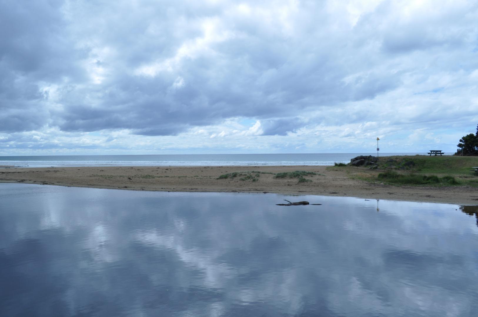
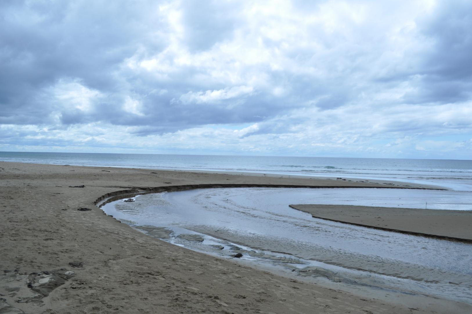
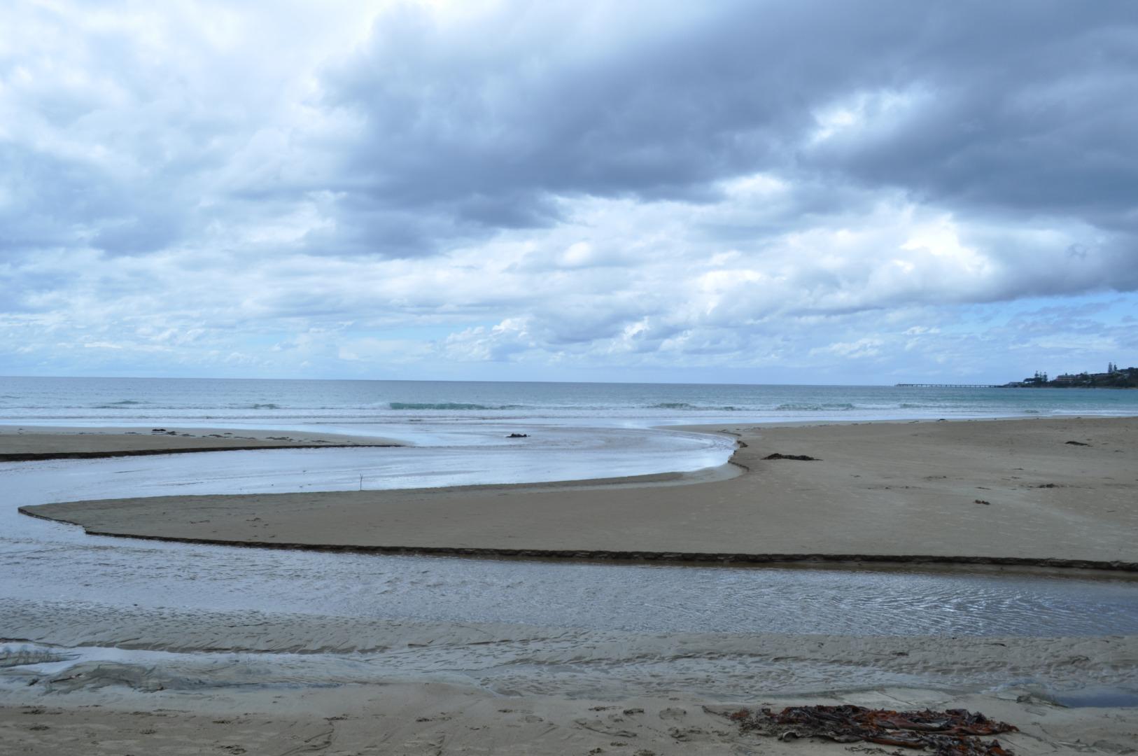
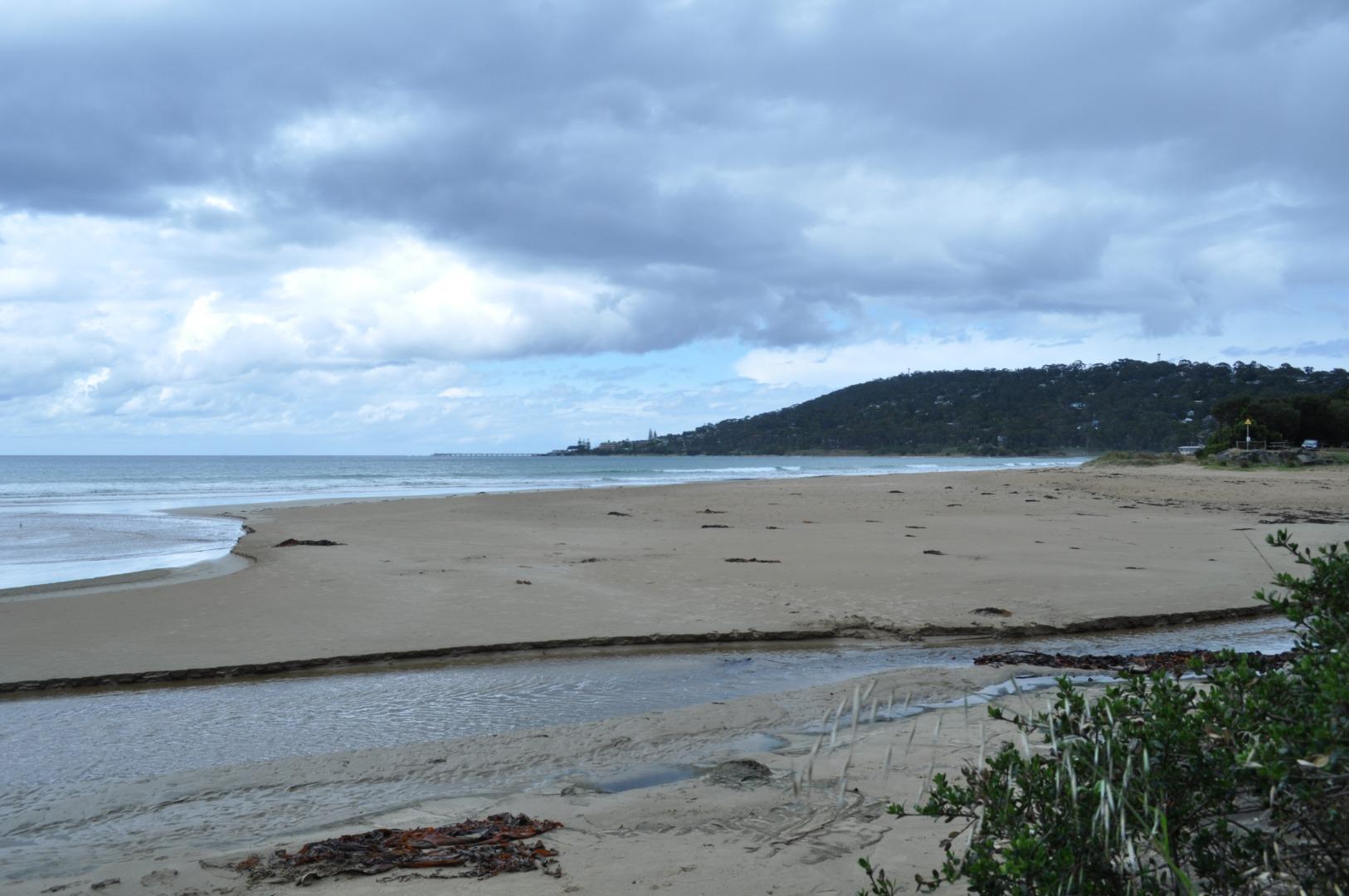
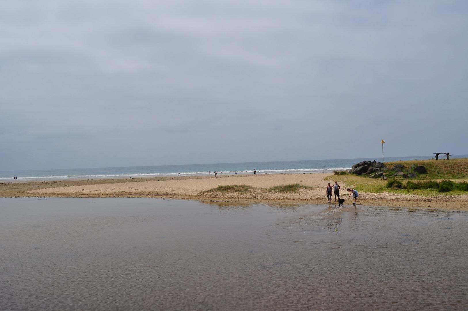
1. Saw 3 cormorants swimming out to sea 2. Watched tide turning at site EP4 - very pretty with clear blue water penetrating the muddy river water in a distinct arch. 3. Wind direction was constantly changes. |
|
| #10466 | 10 Oct 2016 | Approved |
Notes:
Included additional photo to show mud plume and sediment on storm water drain from Great Ocean Road on estuary side of bridge. |
|
| #10469 | 23 Sep 2016 | Approved |
Notes:
Wind was swirling in all directions during the course of the time it took to complete the exercise. |
|
| #10468 | 22 Aug 2016 | Approved |
Notes:
Between 12.45 and13.30 the weather conditions worsen considerably, by the time we reached the EP4 sight it was raining and misty, with seas rising to BSN4. |
|
| #10621 | 21 Jul 2016 | Approved |
Notes:
Under bridge marker muddy |
|
| #10465 | 21 Jun 2016 | Approved |
Notes:
WIND WAS SWIRLING IN ALL DIRECTIONS |
|
| #10317 | 23 May 2016 | Approved |
Notes:
|
|
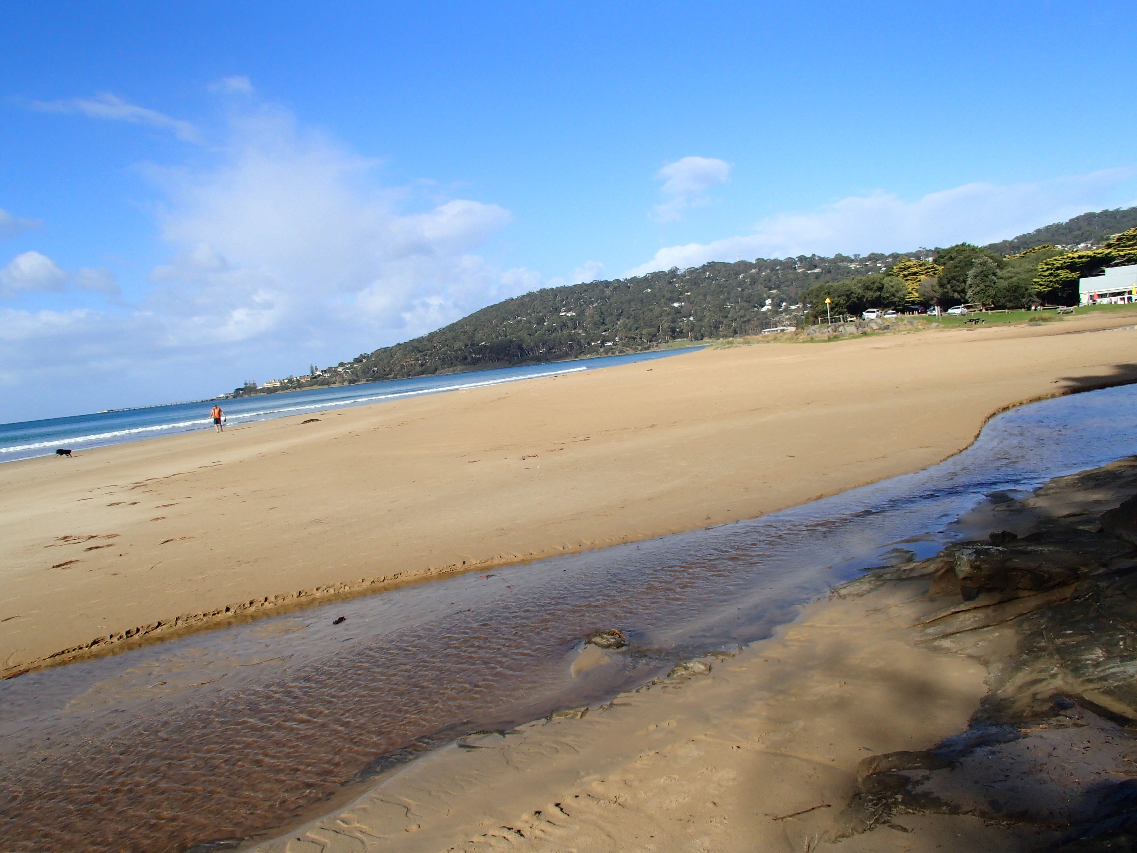
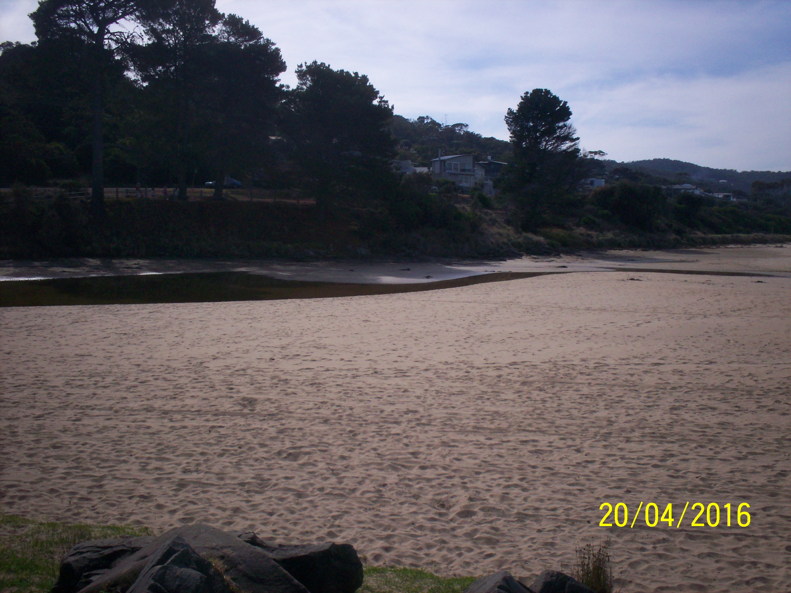
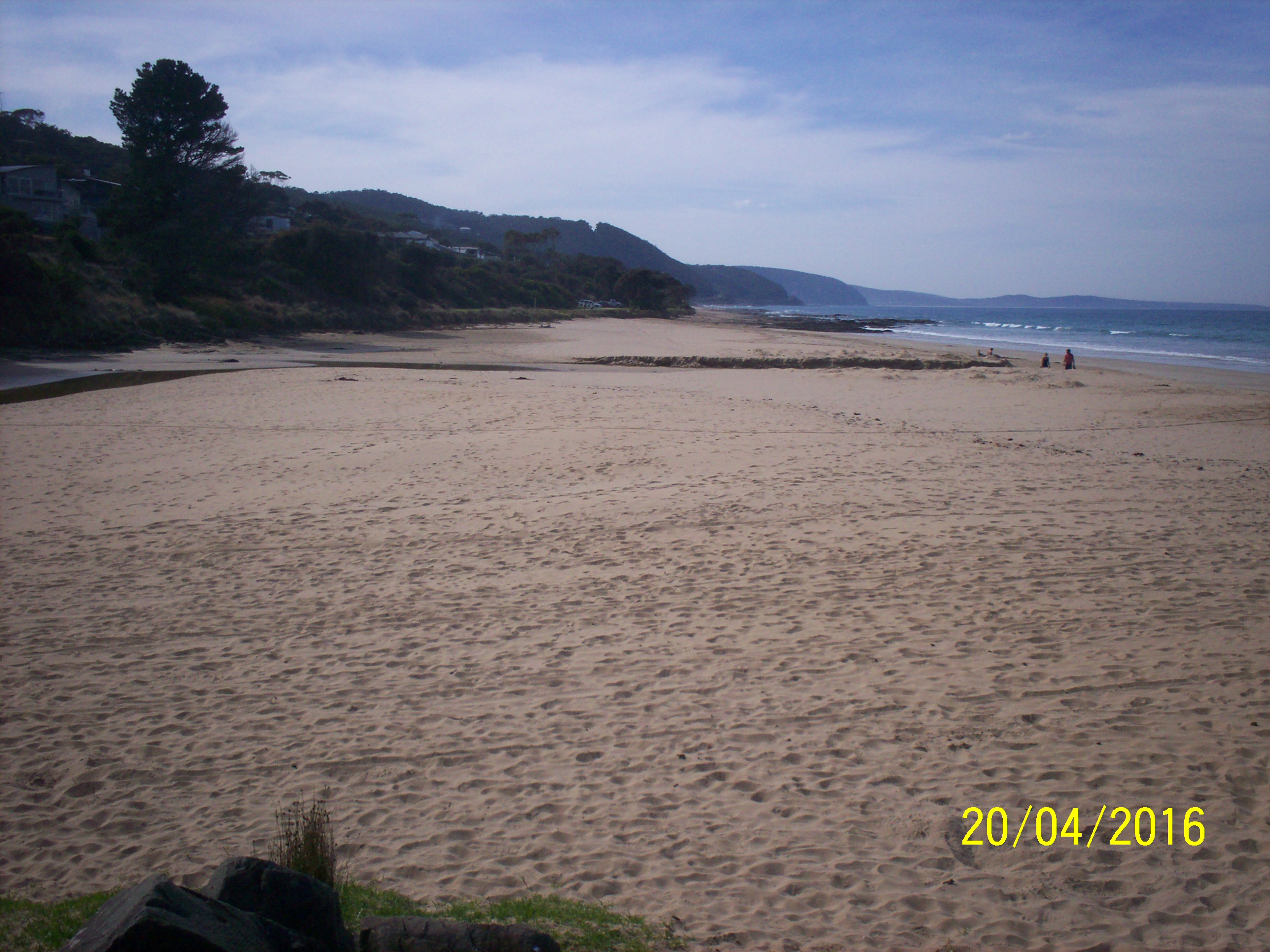
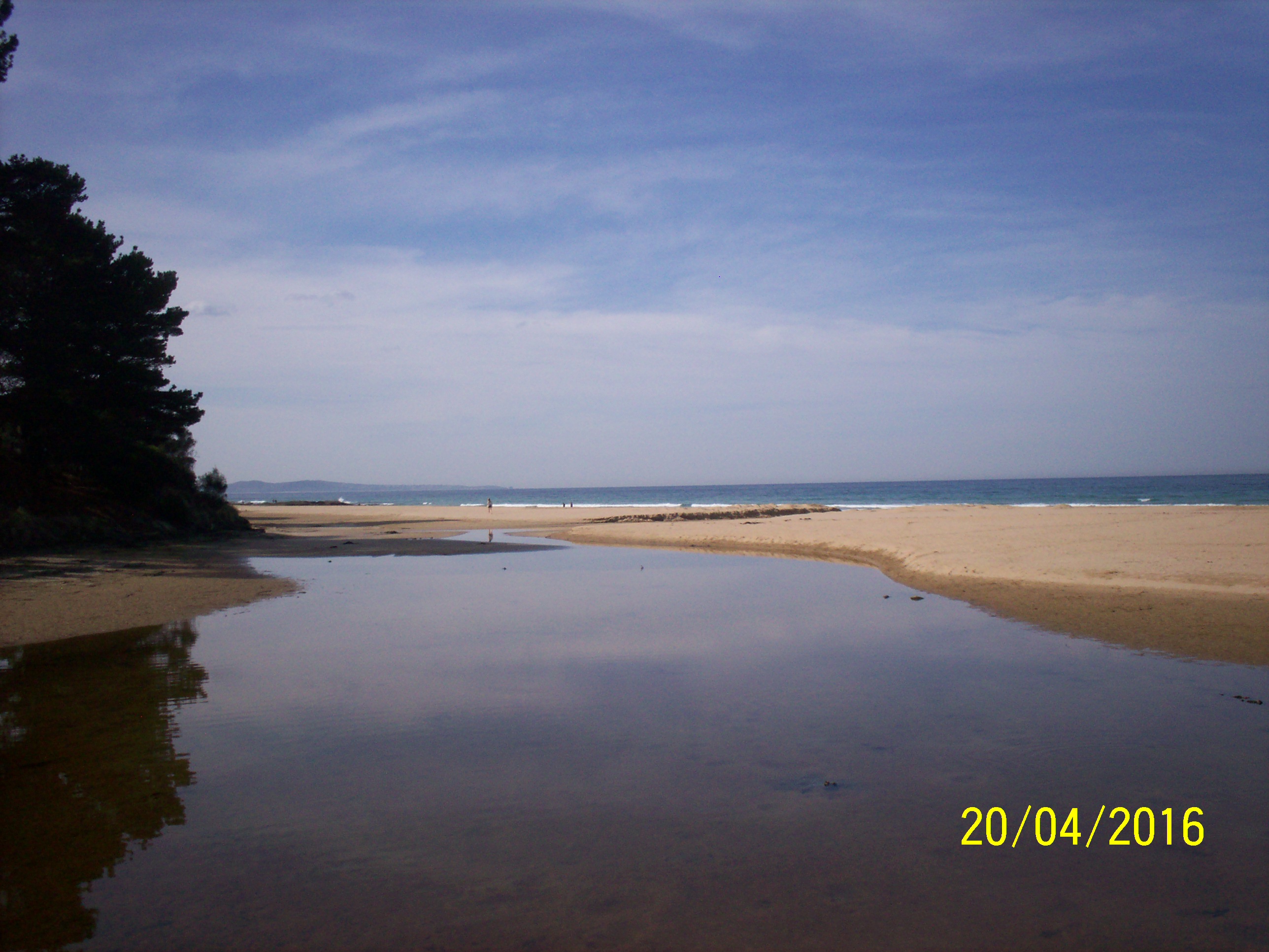
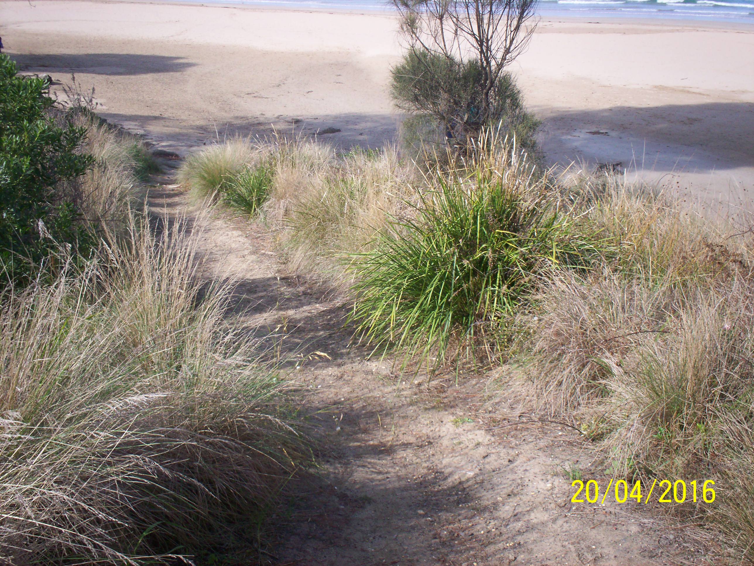
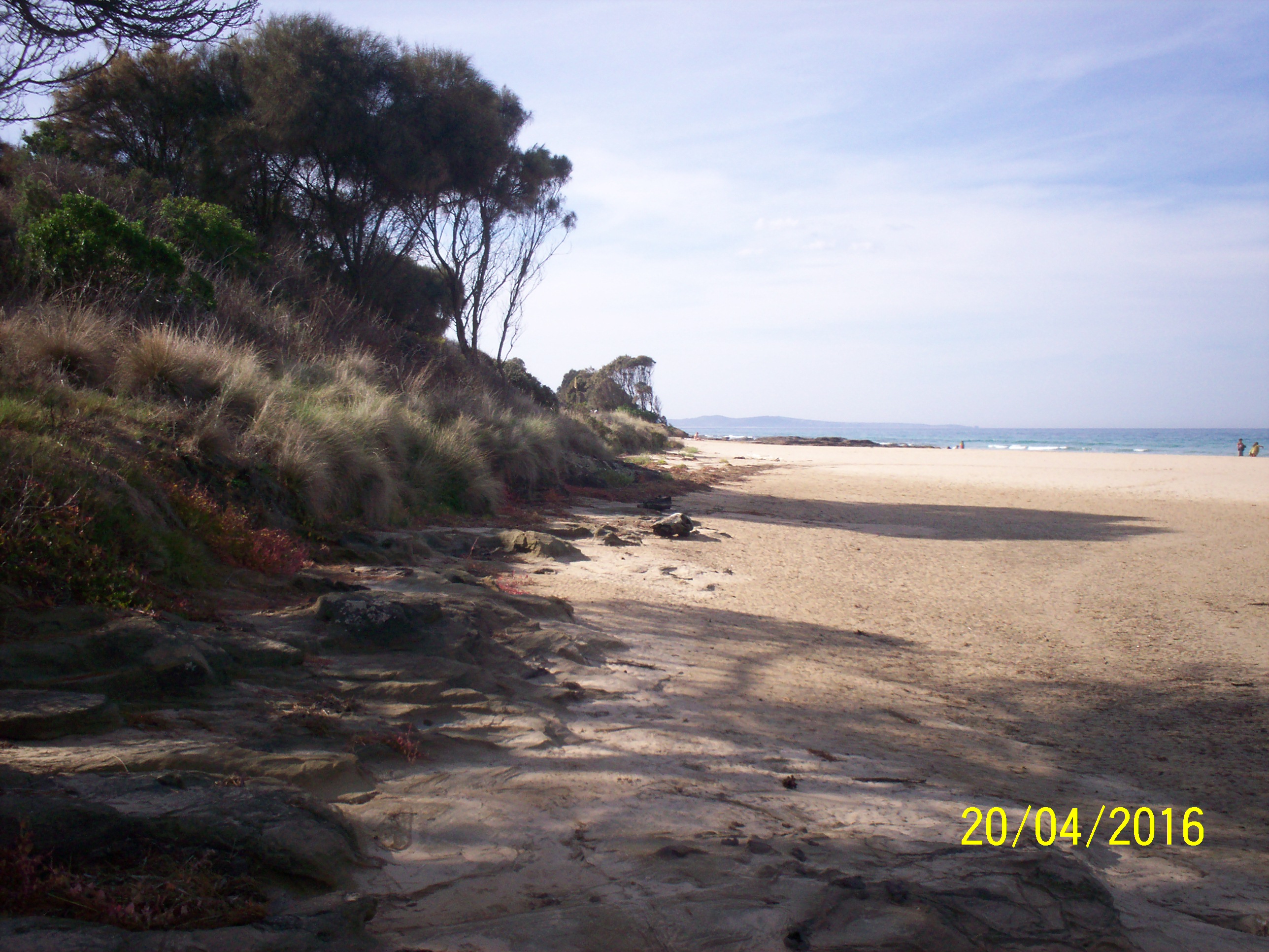
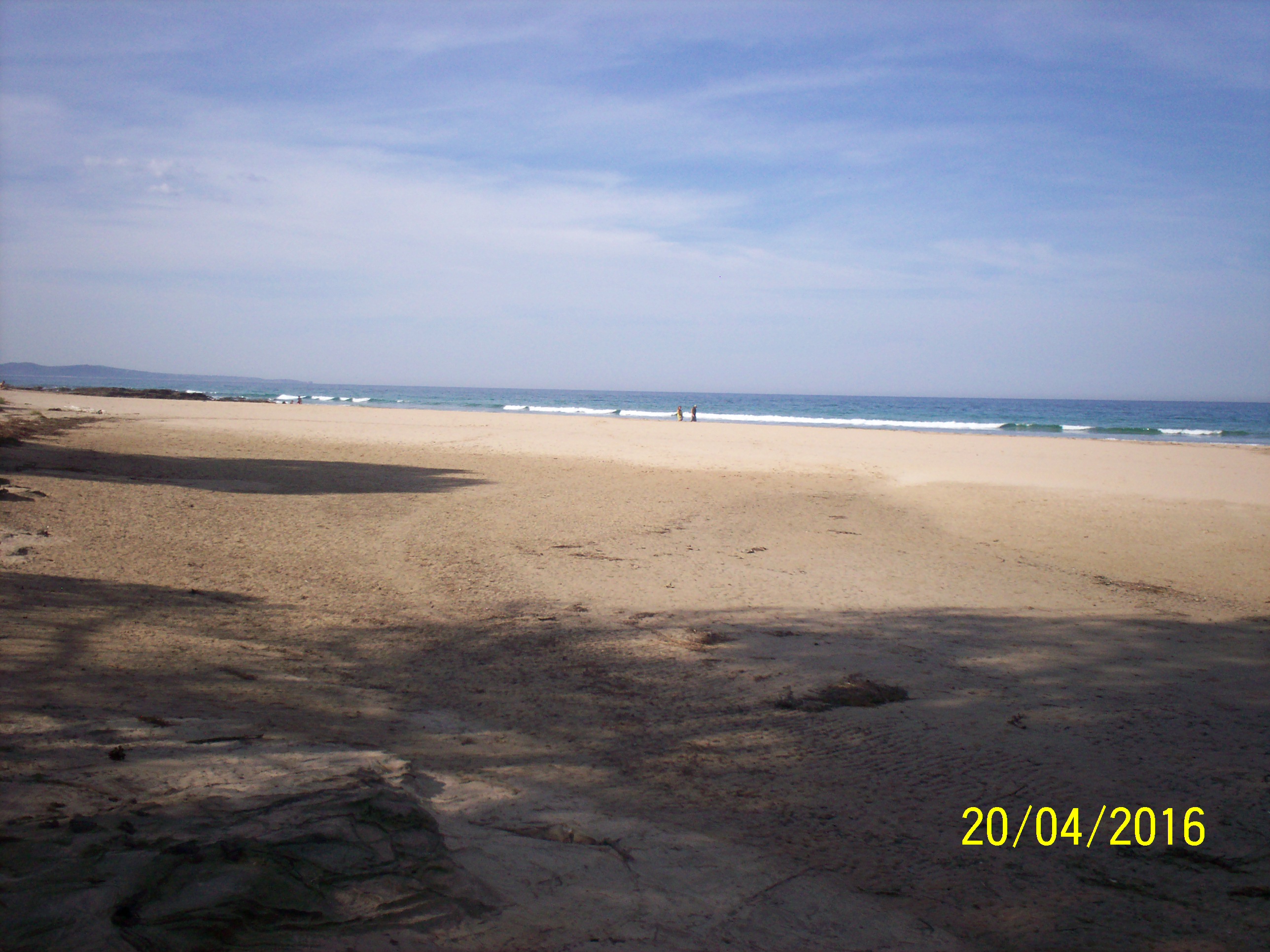
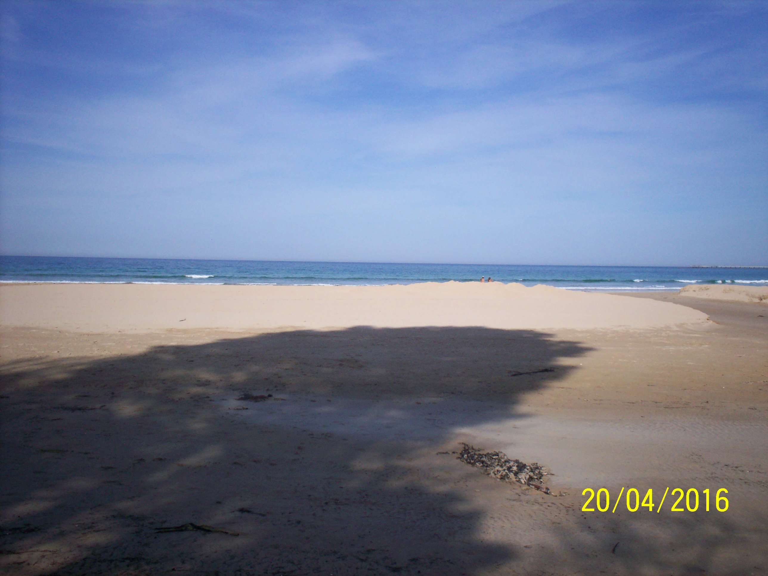
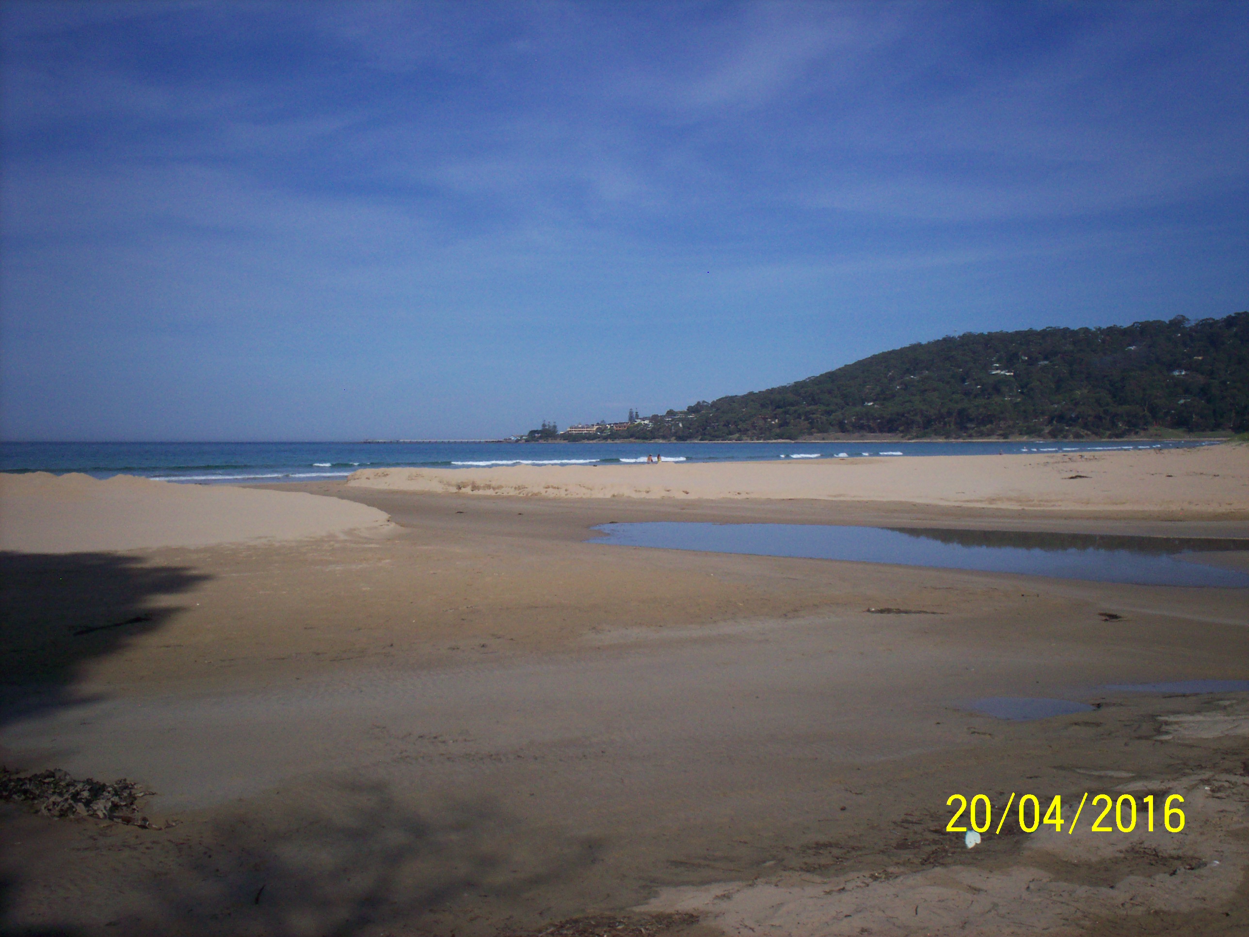
| #10353 | 20 Apr 2016 | Approved | Notes: Berm length 57m. Rose saw schools of Black Bream and Yellow-eyed Mullet from the swing bridge. | |
| #10390 | 12 Apr 2016 | Approved |
Notes:
Berm length 24m.
|
|
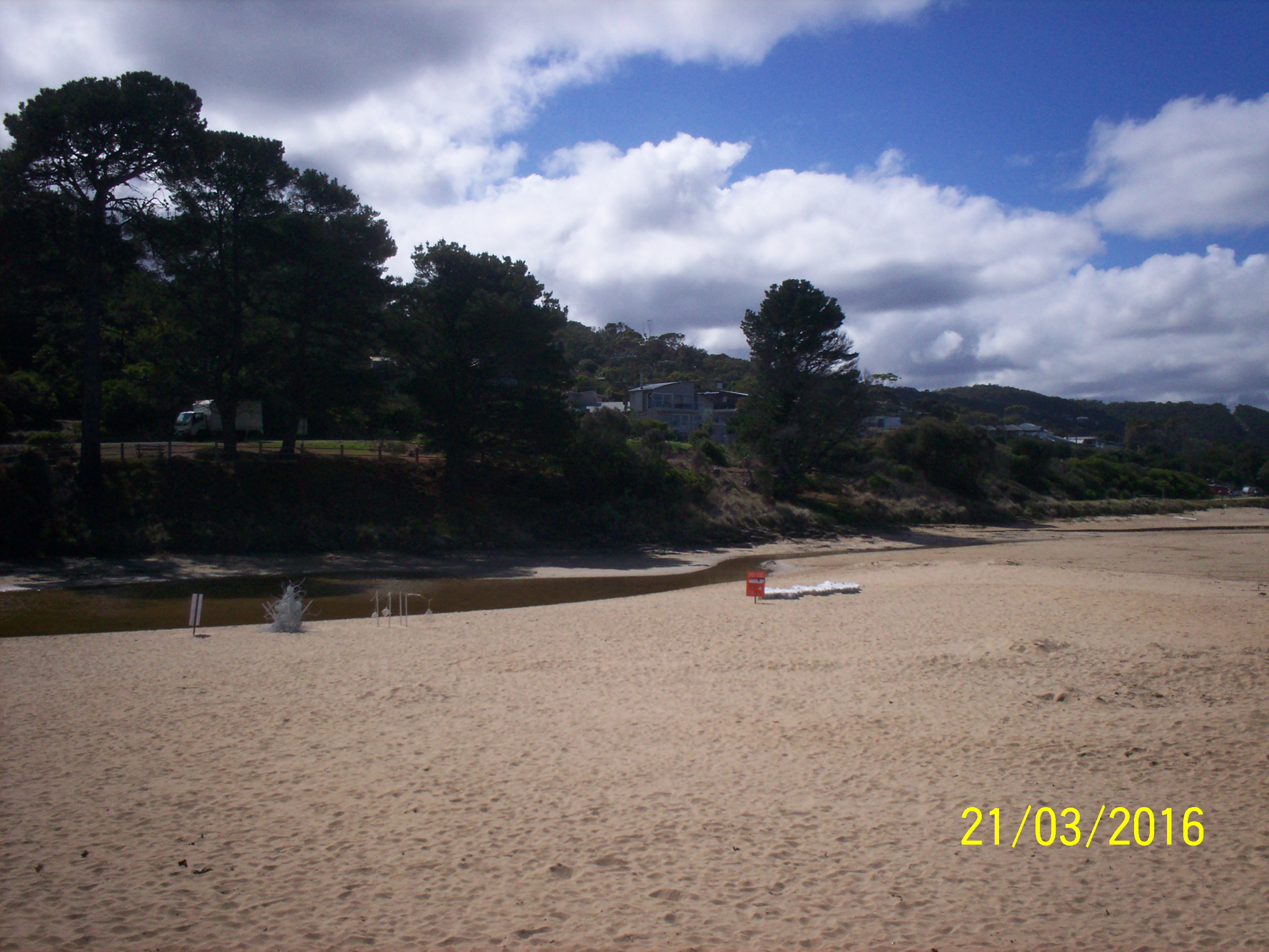
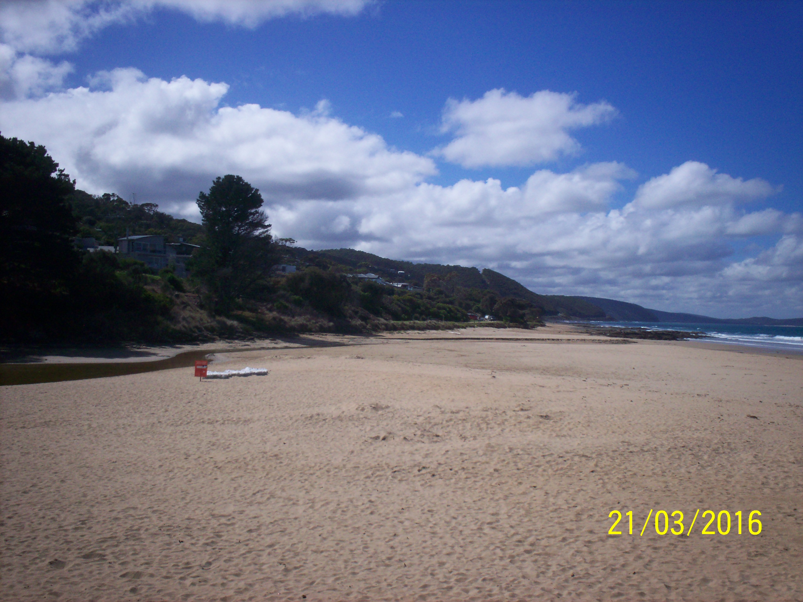
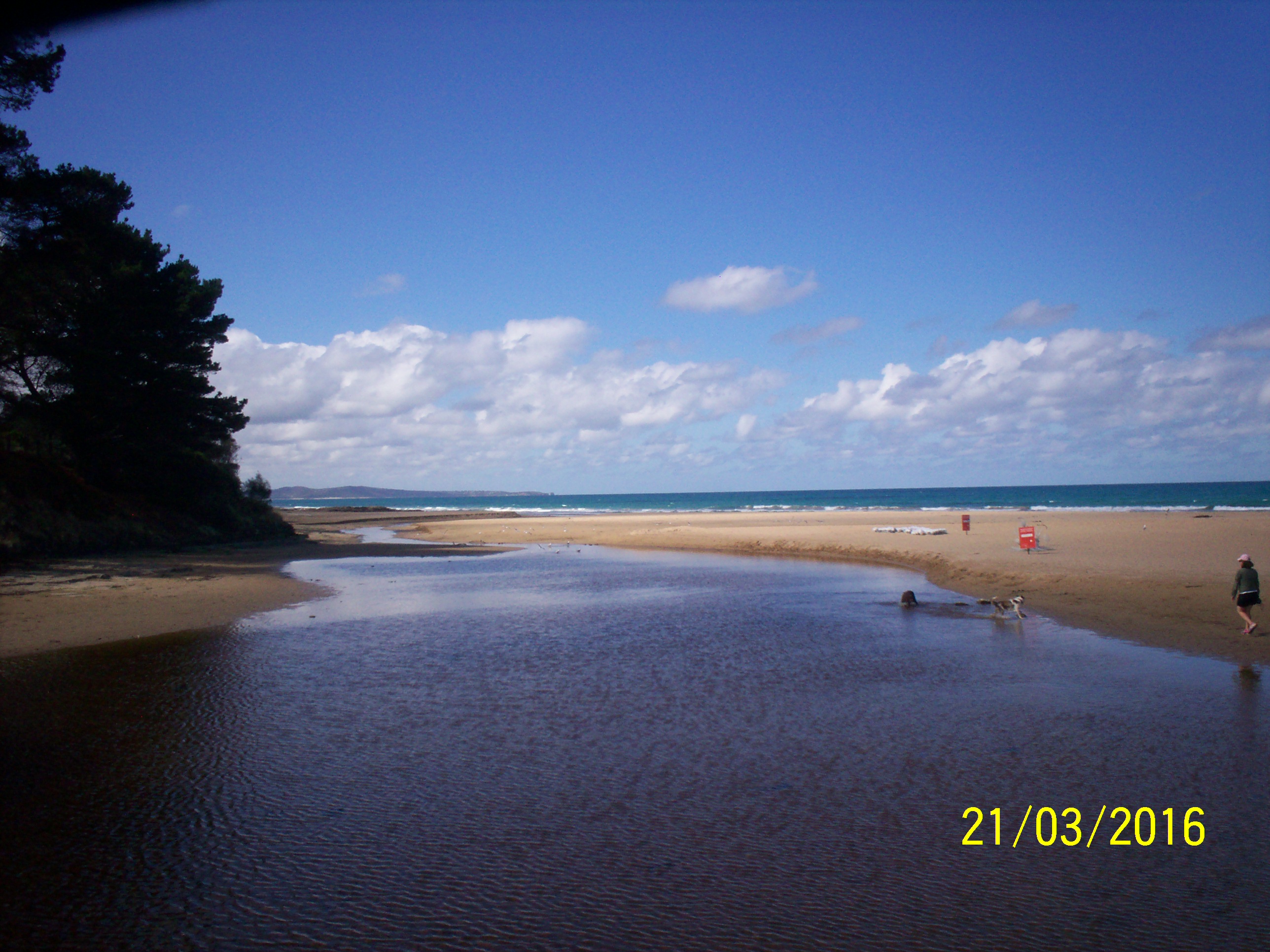
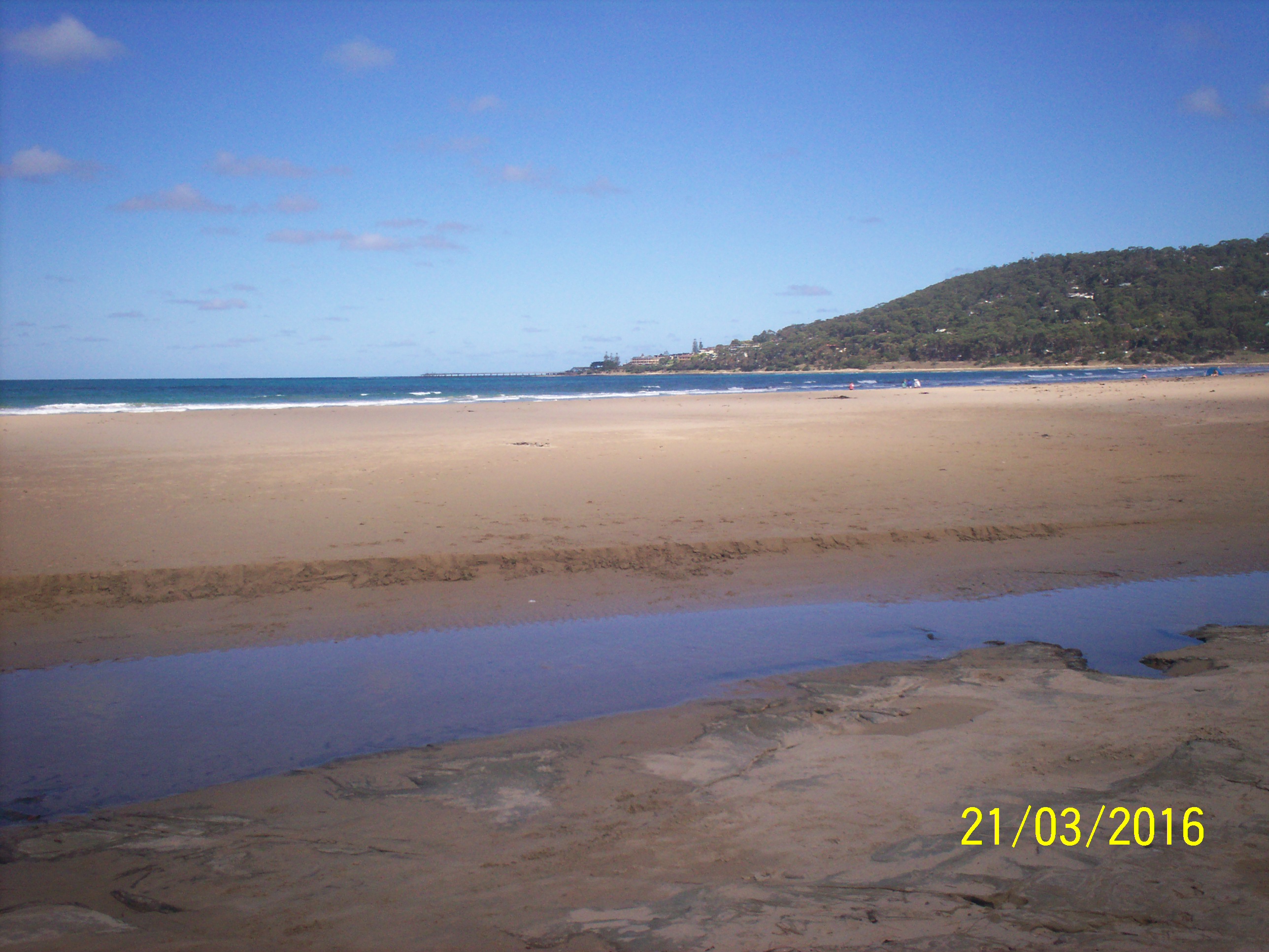
| #10210 | 21 Mar 2016 | Approved | Notes: Depth gauge is very muddy and can't be read accurately, is about 0.8 something. | |
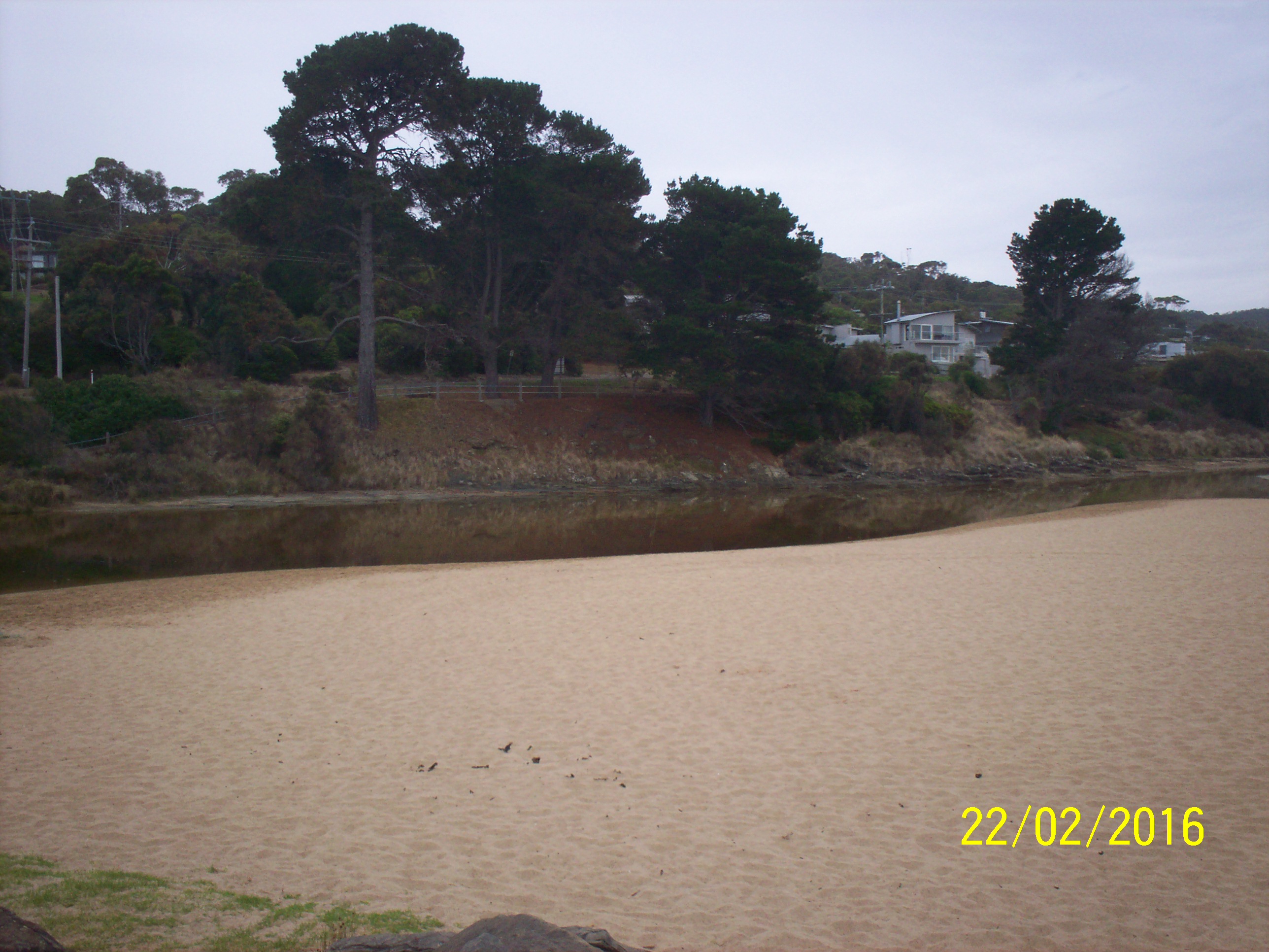
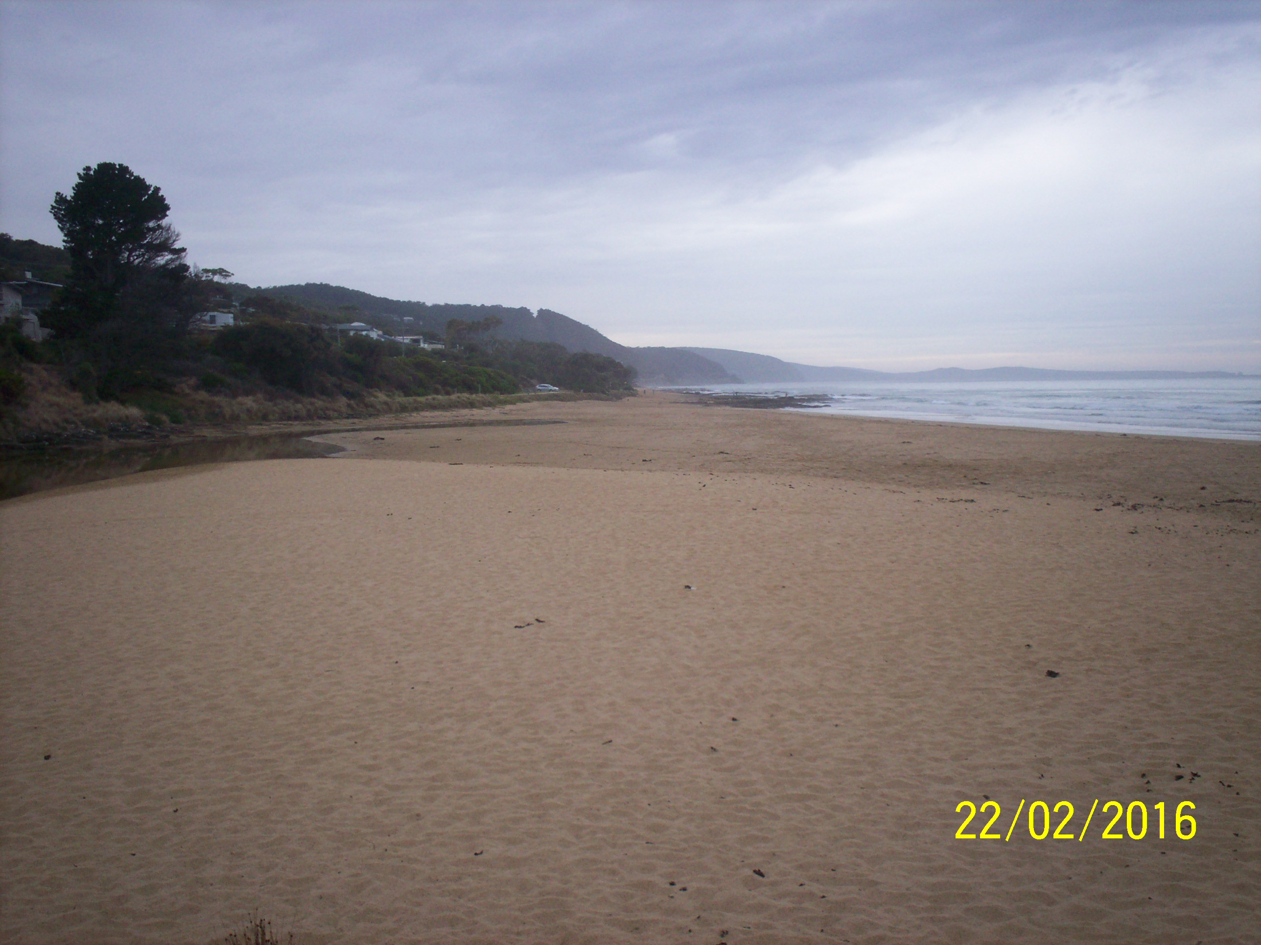
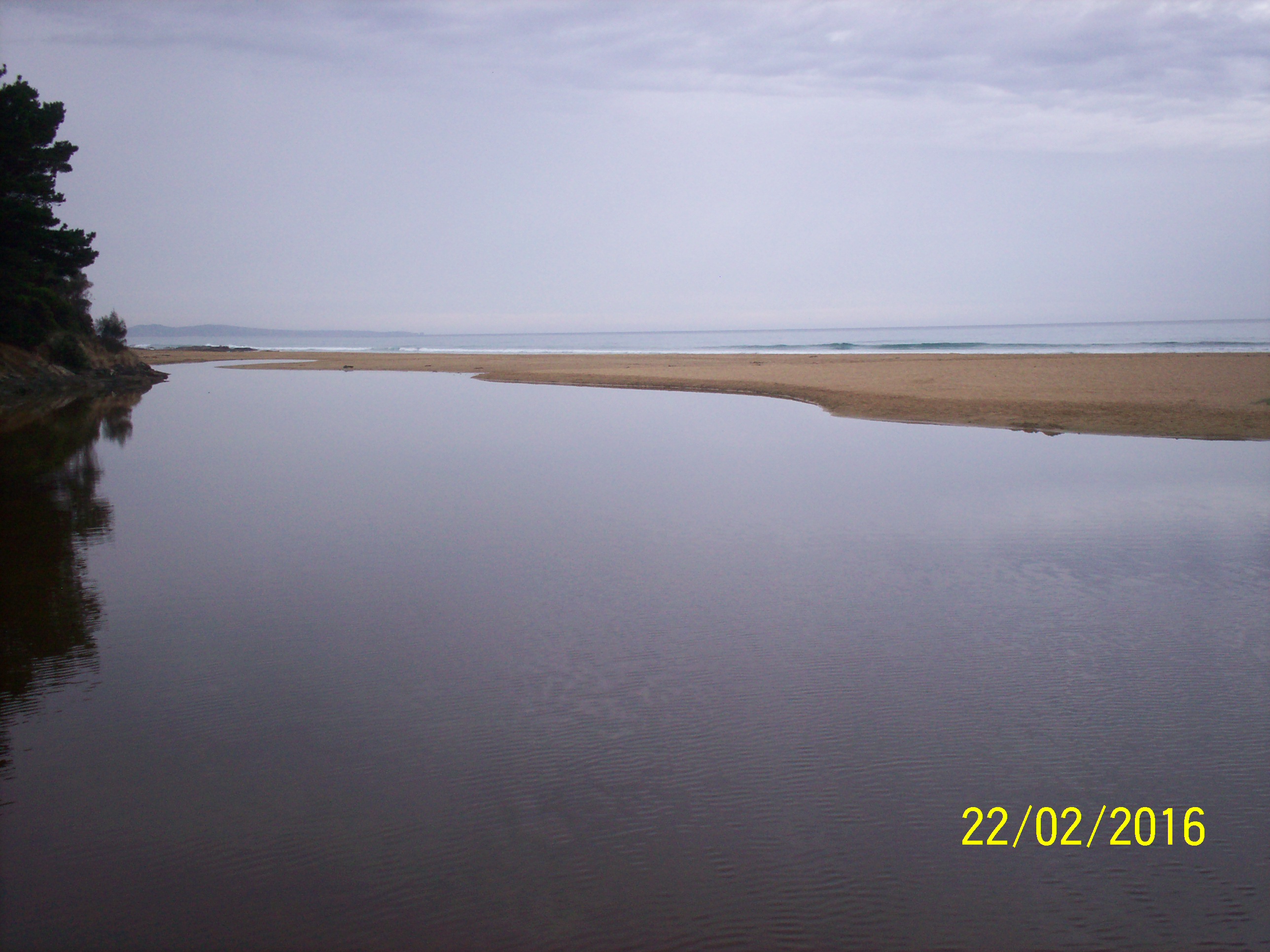
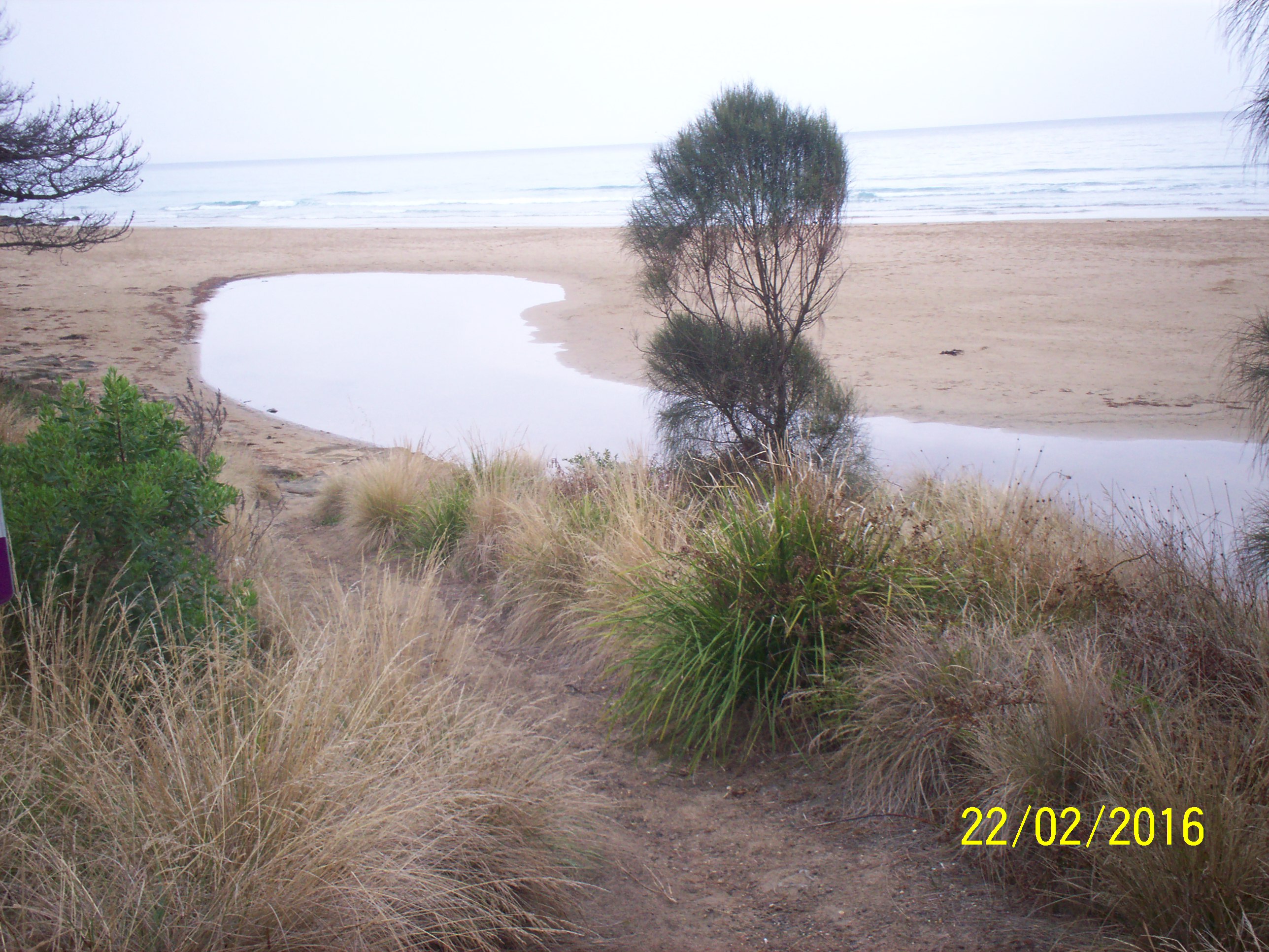
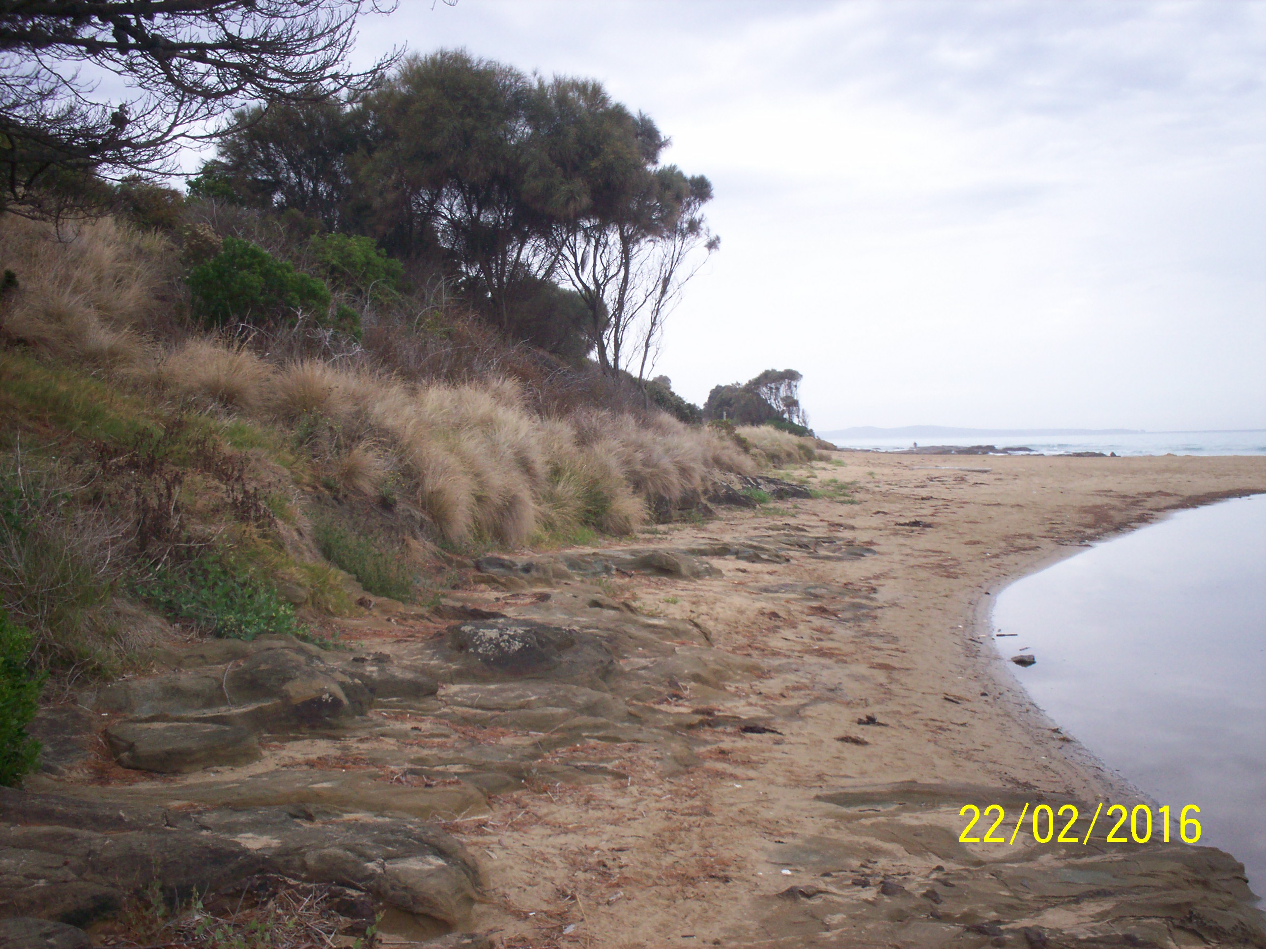
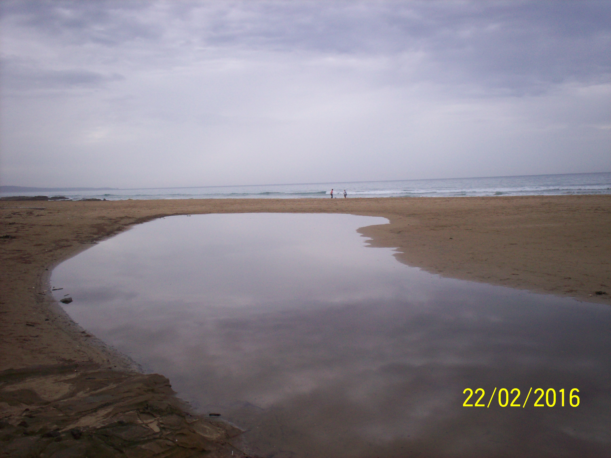
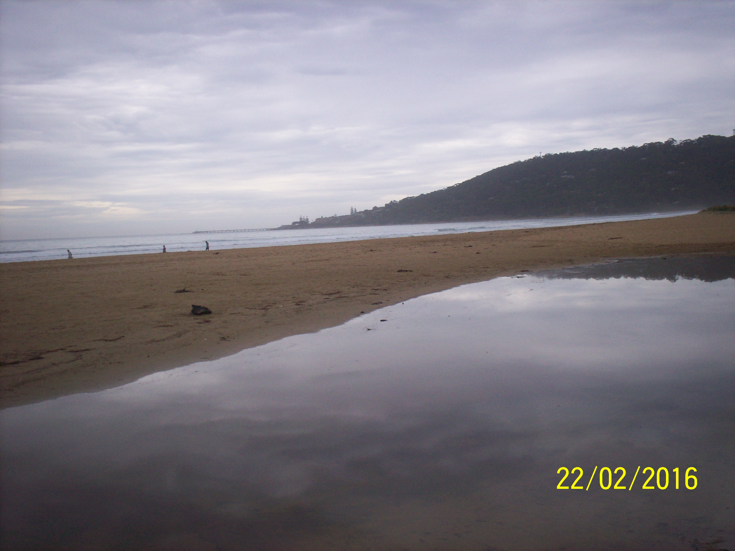
| #10295 | 22 Feb 2016 | Approved | Notes: Berm length is 42m. | |
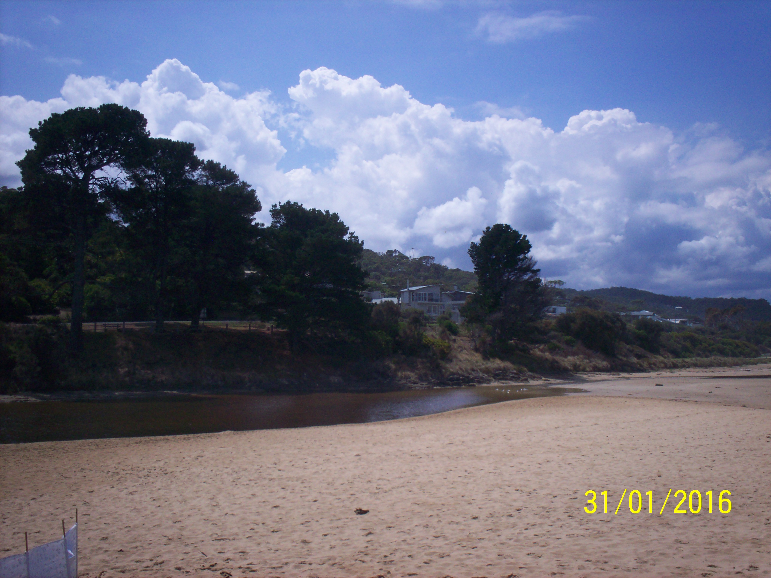
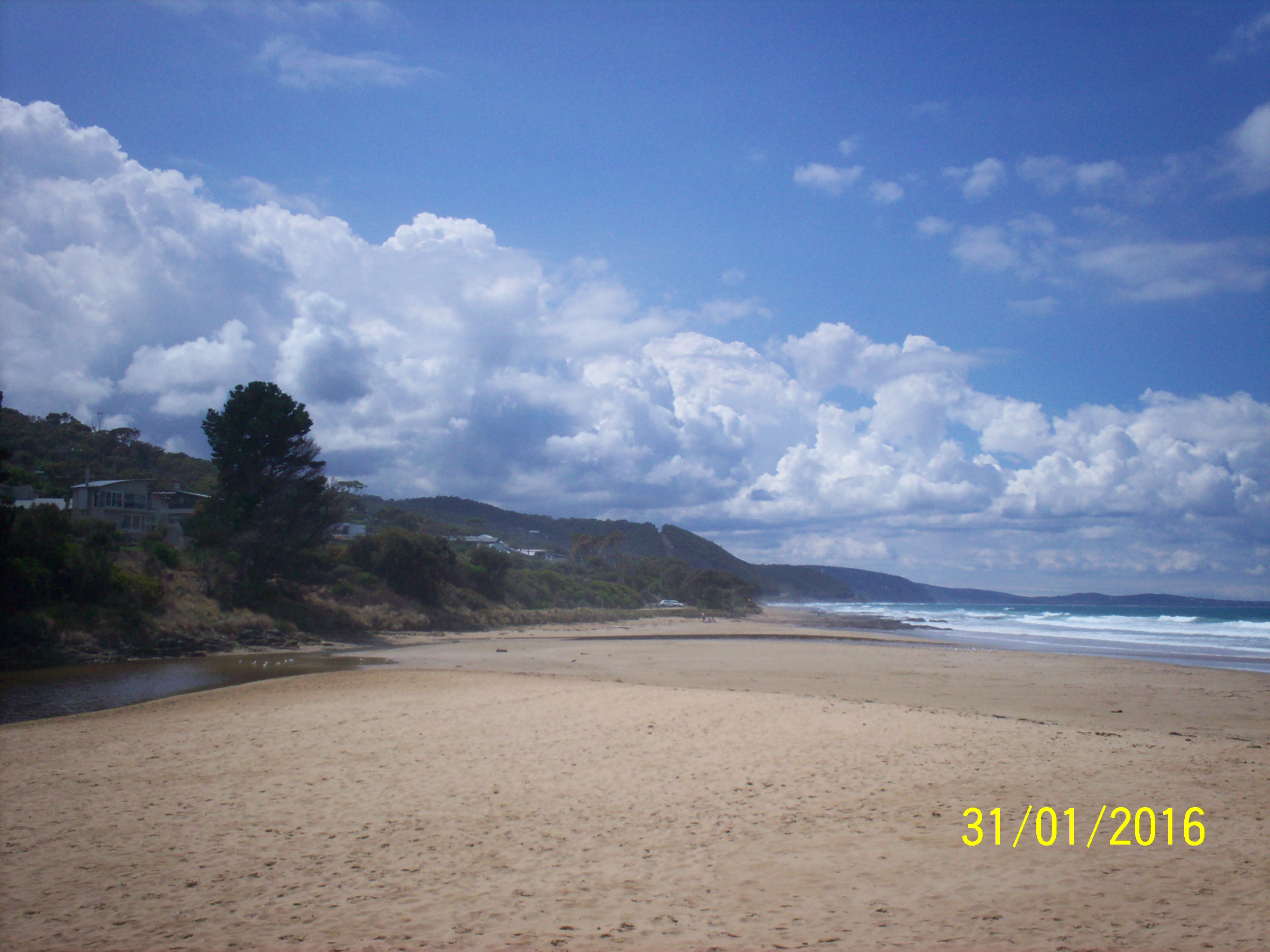
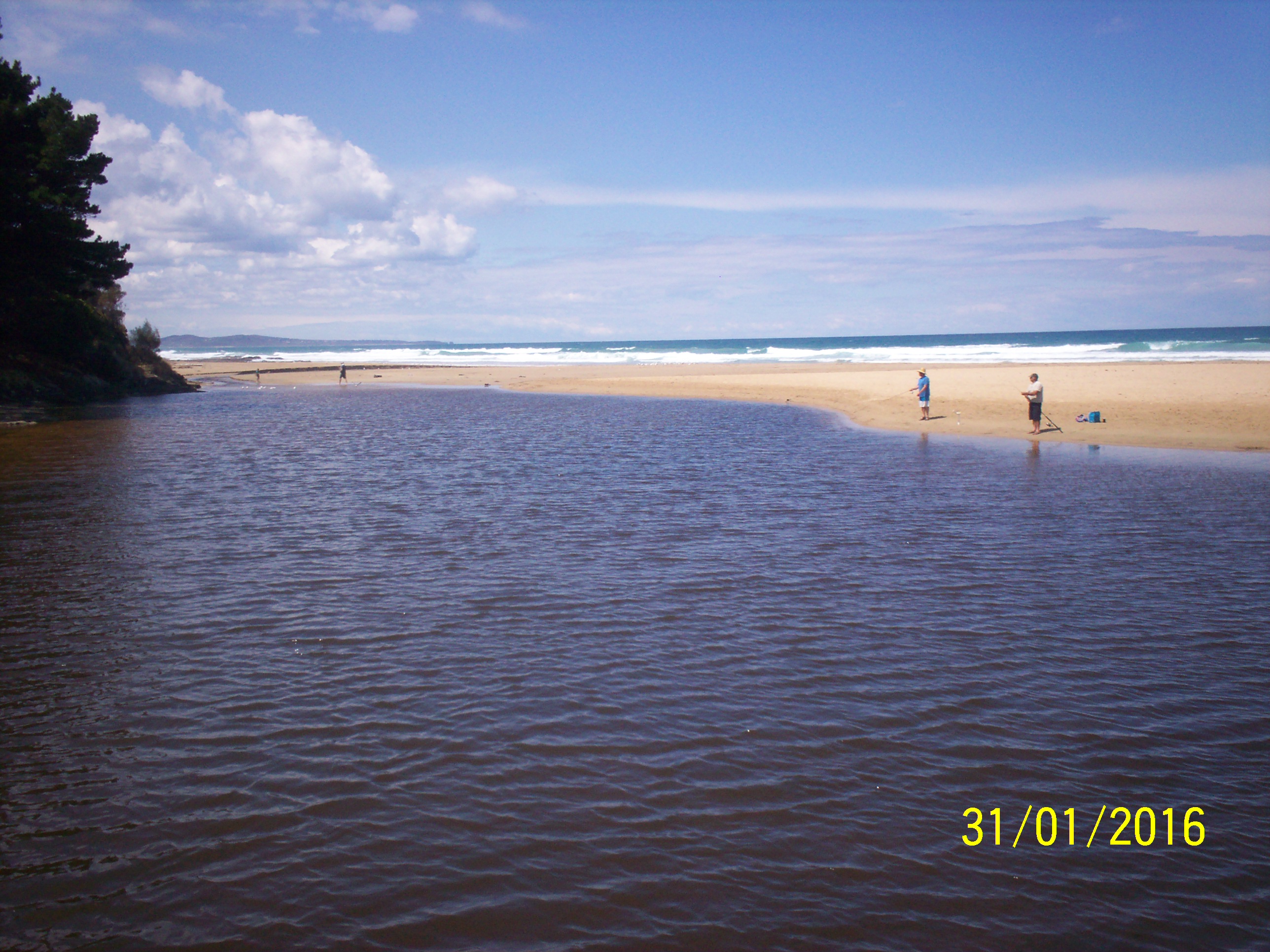
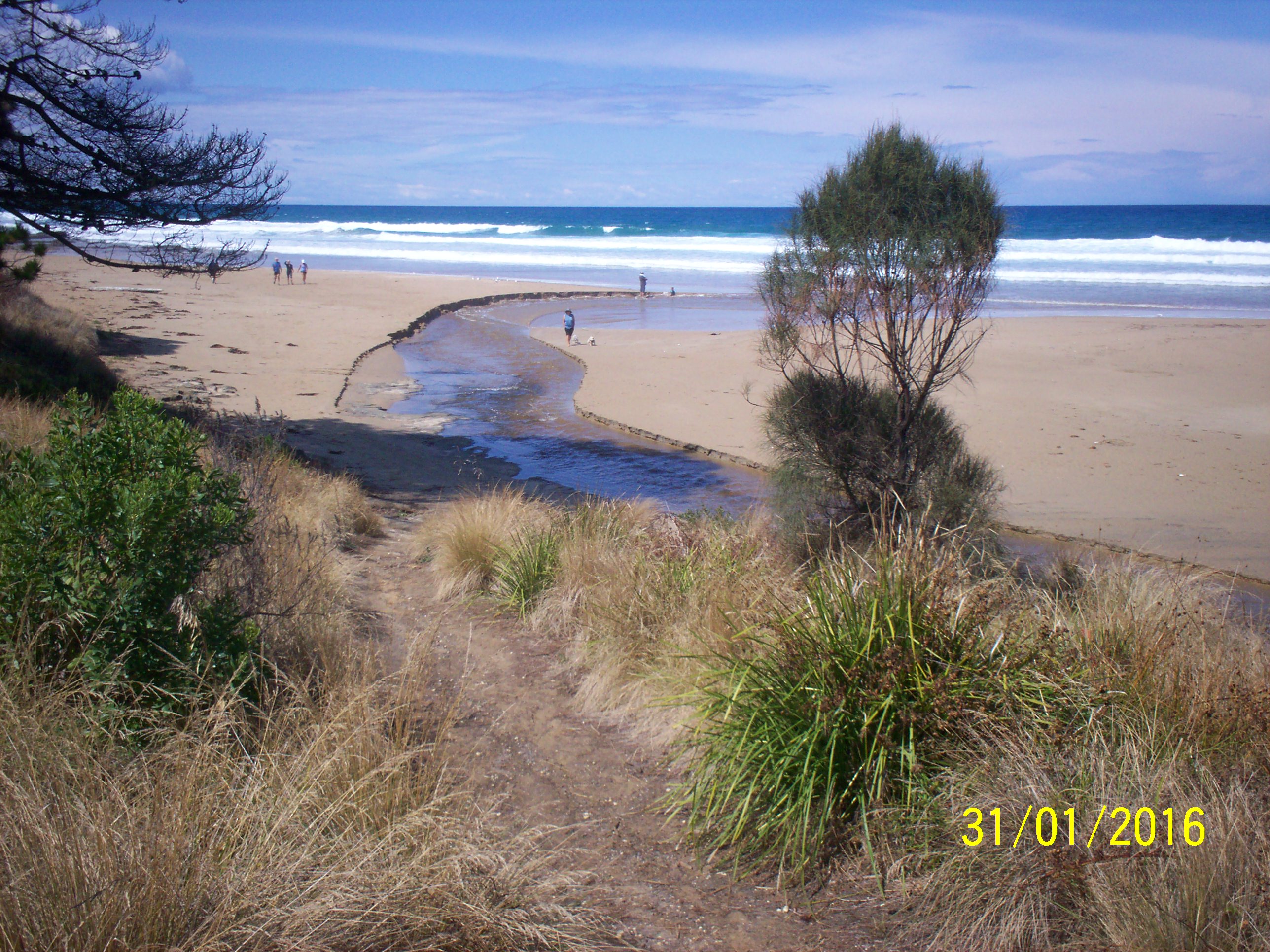
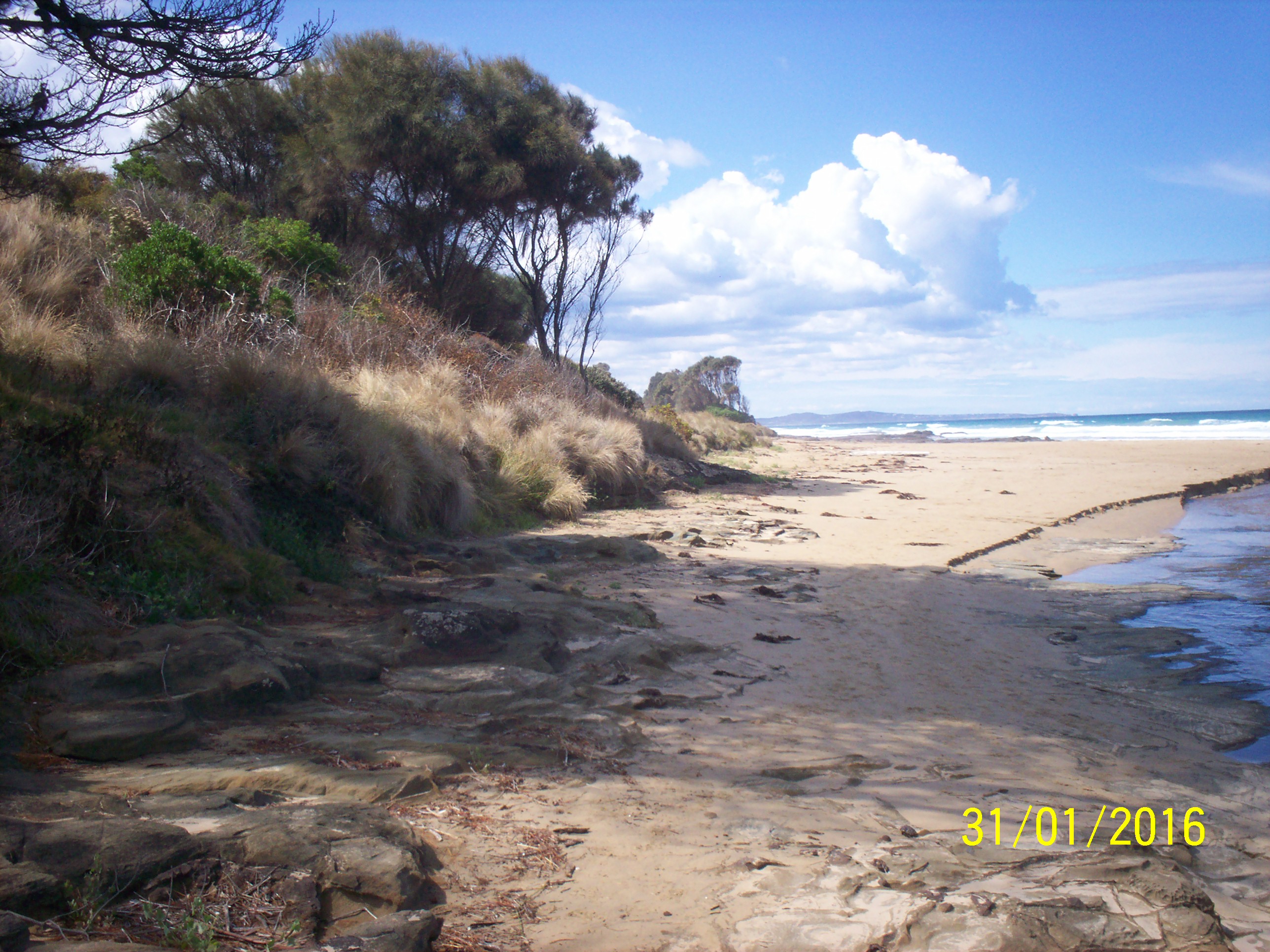
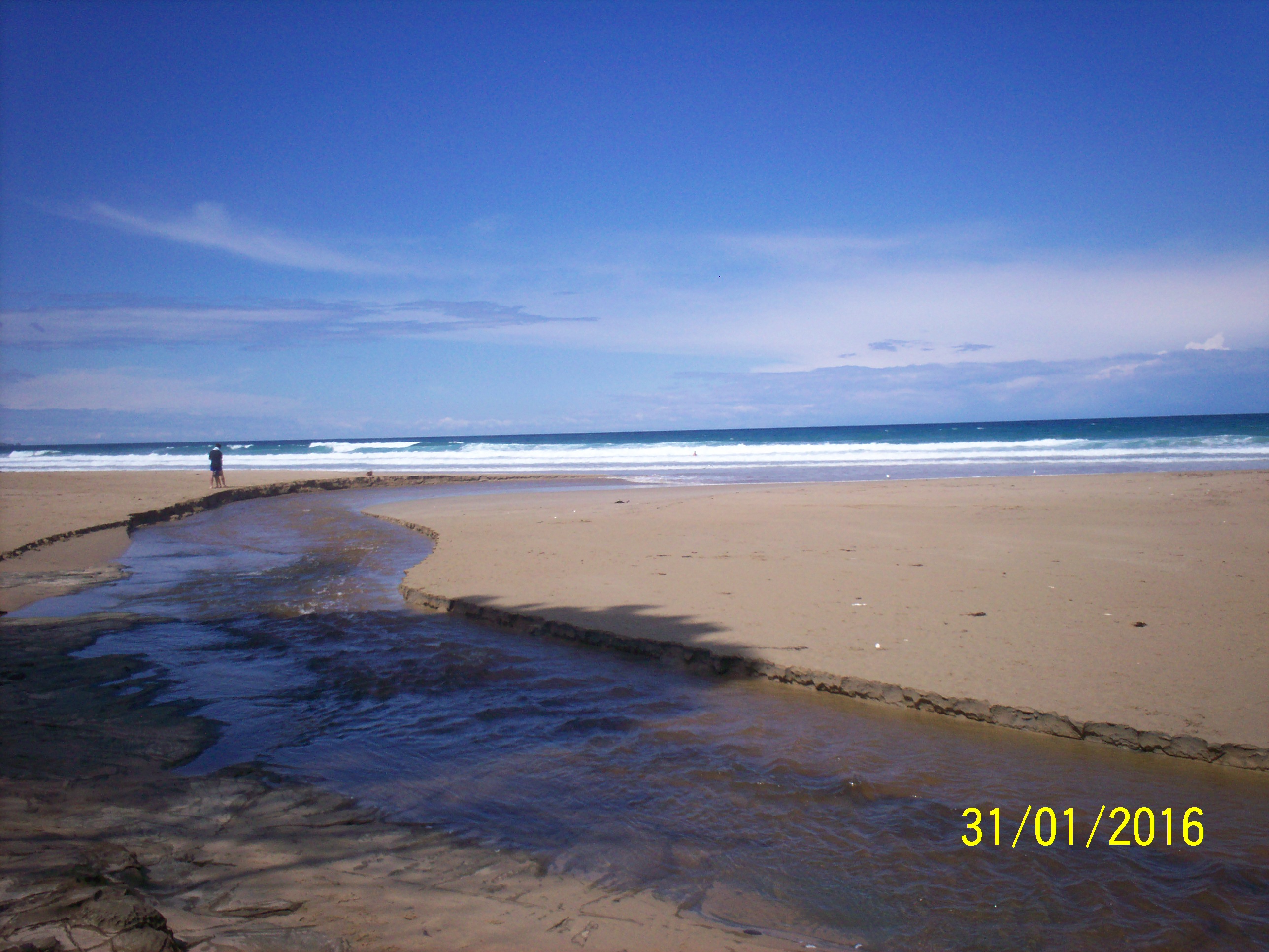
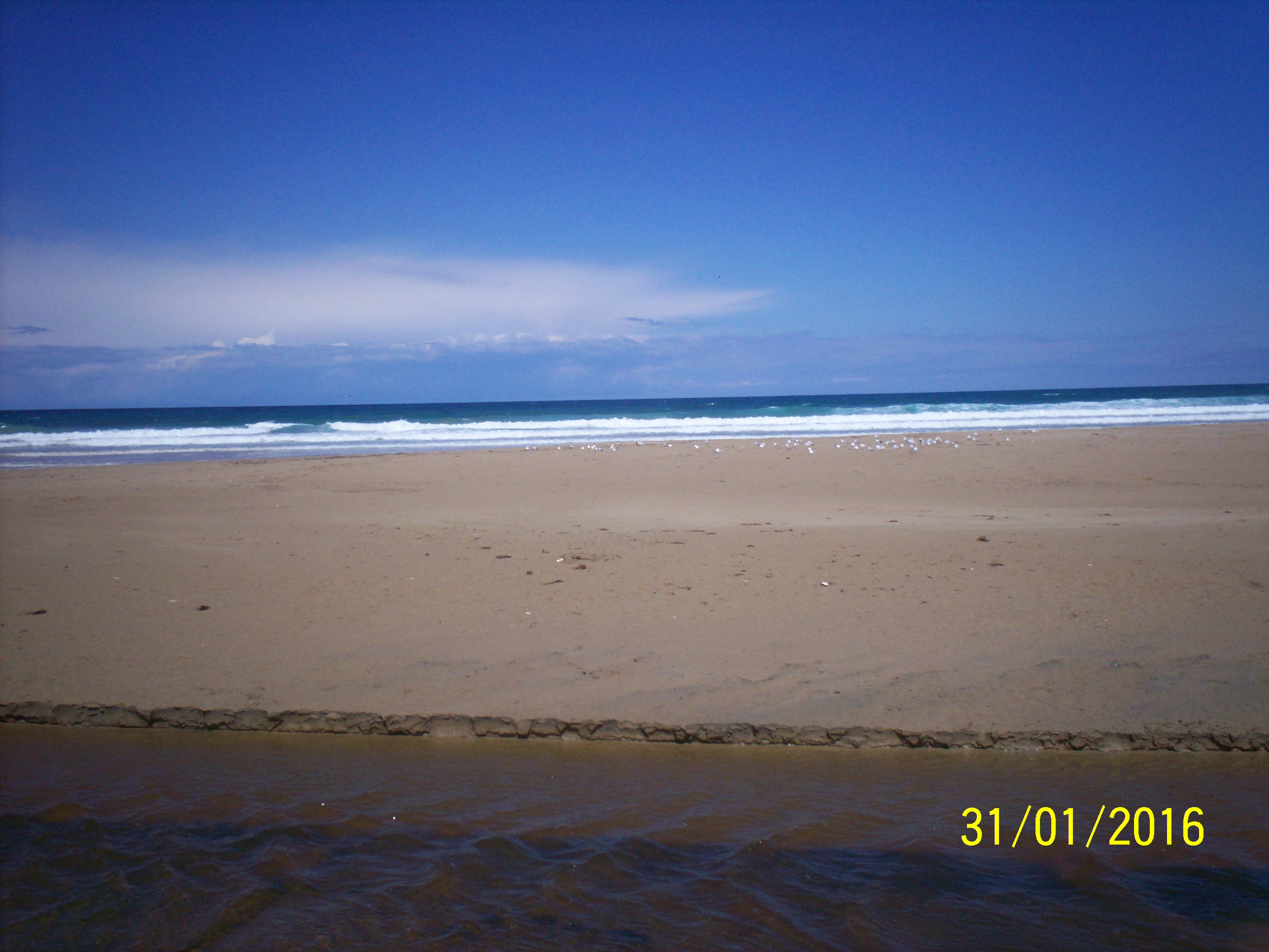
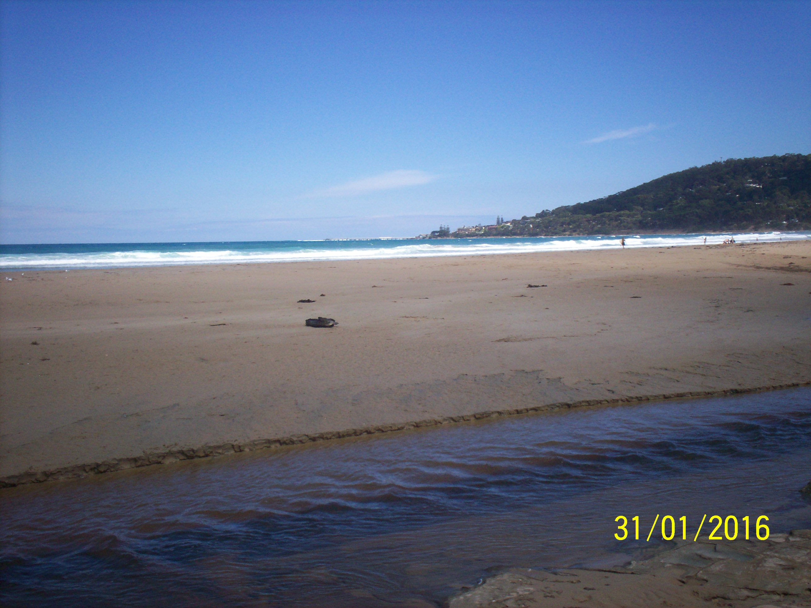
| #10307 | 31 Jan 2016 | Approved | ||
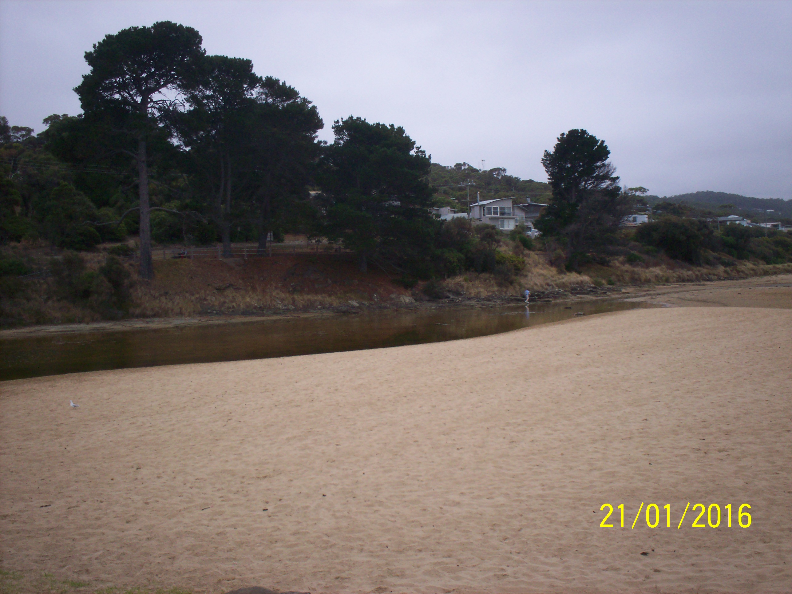
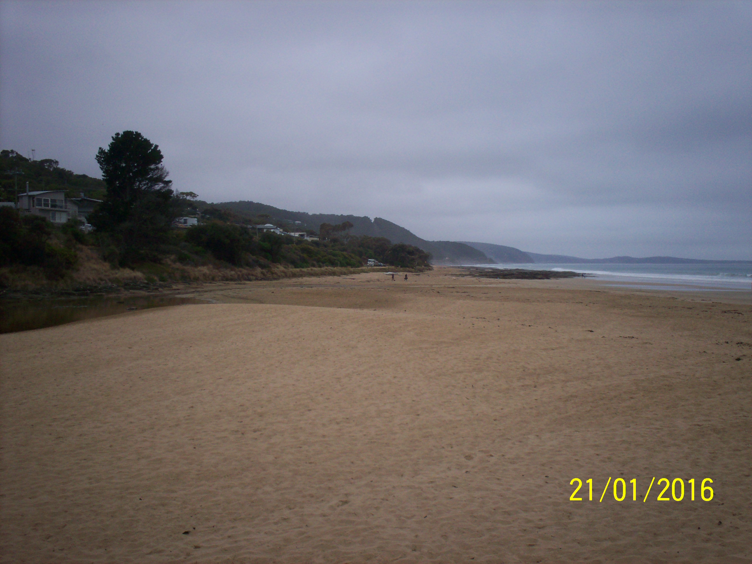
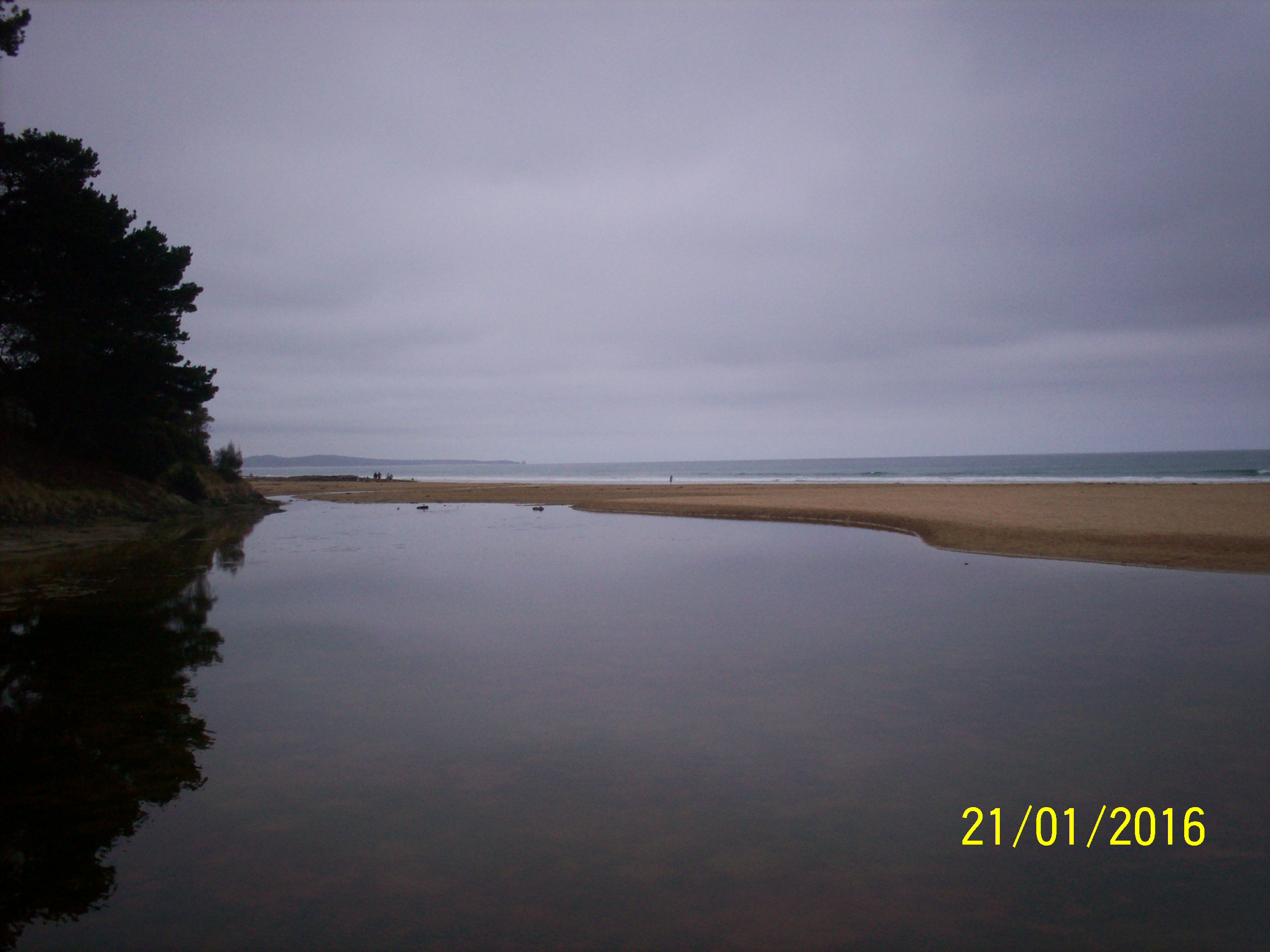
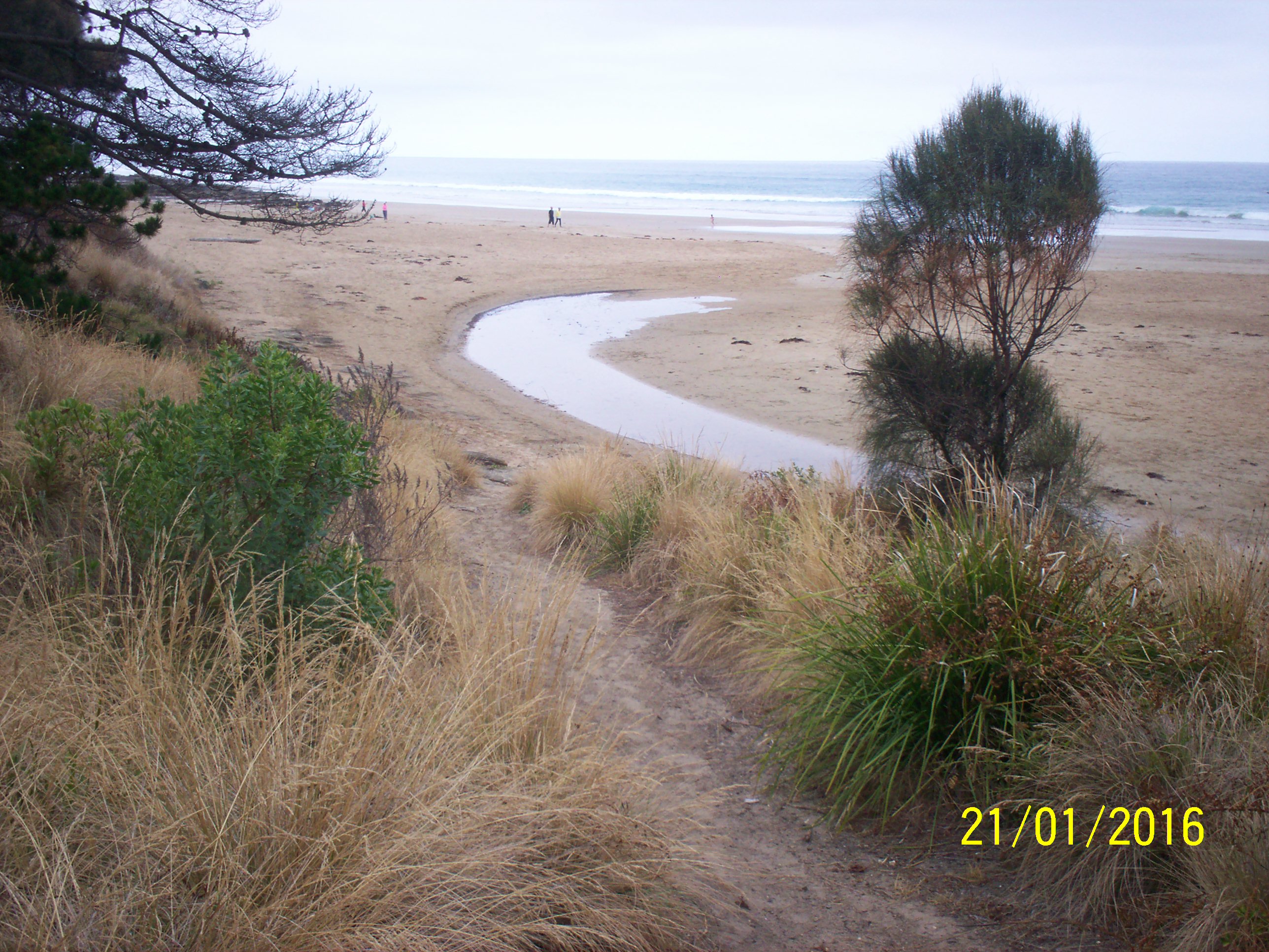
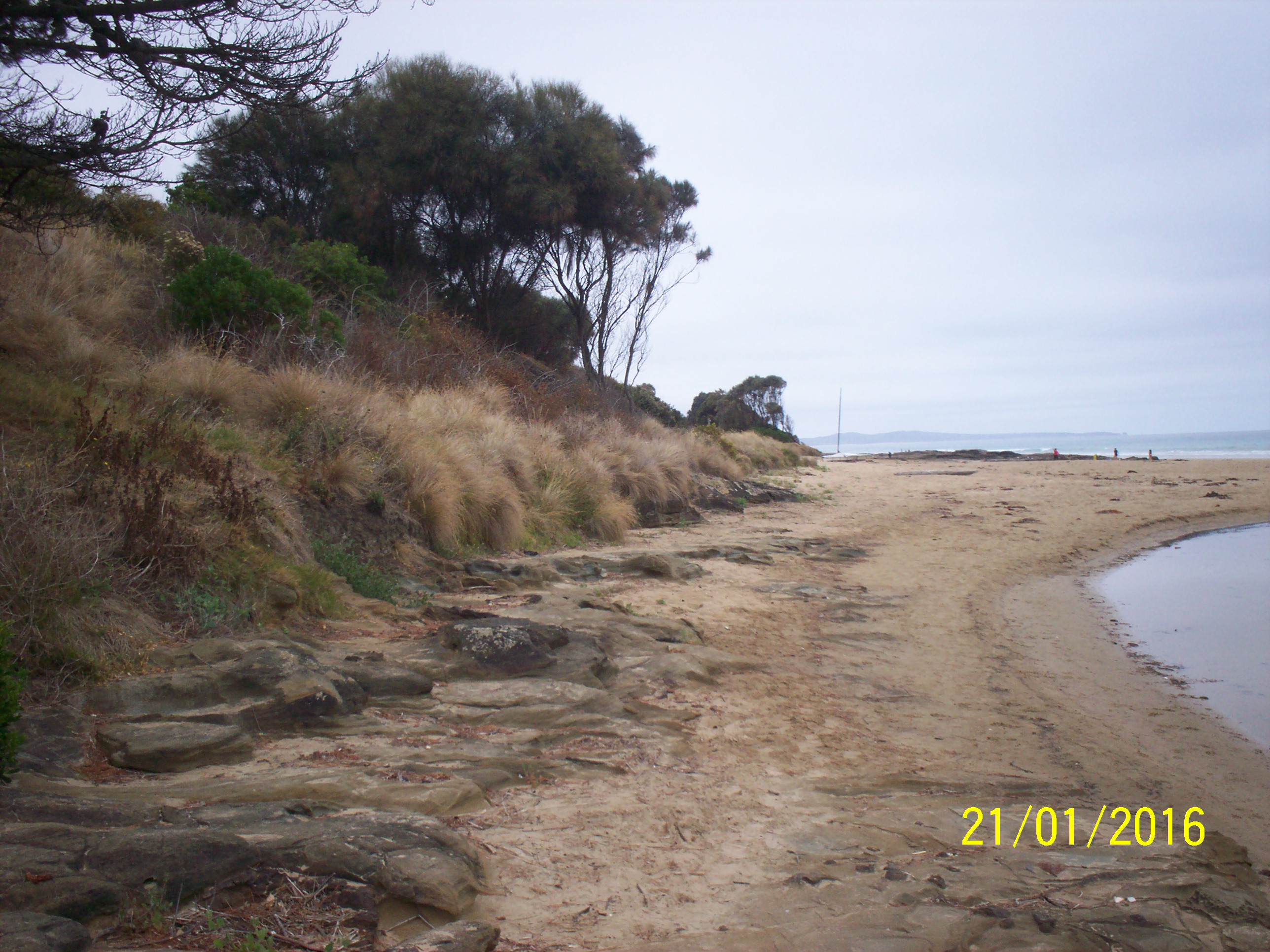
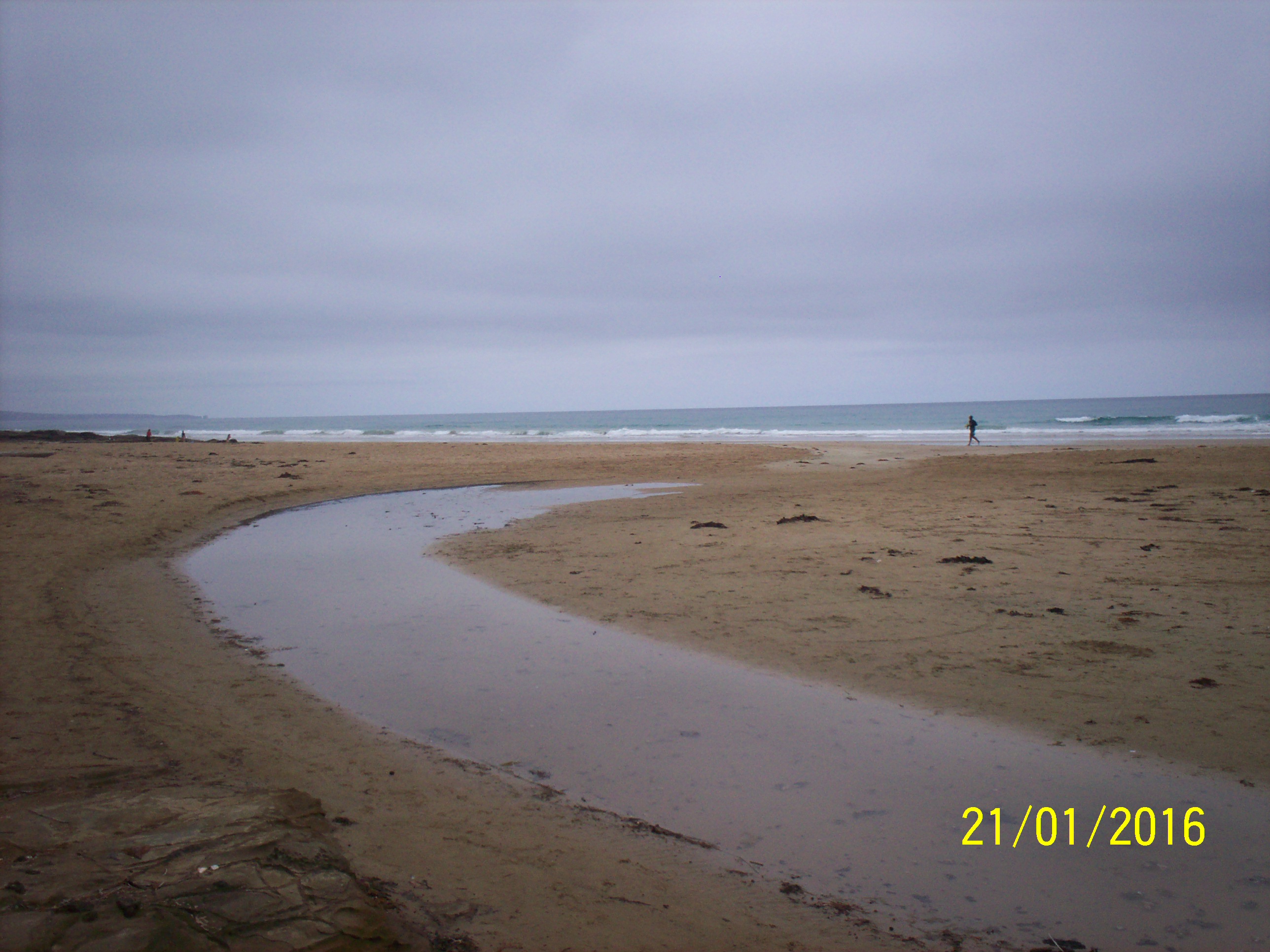
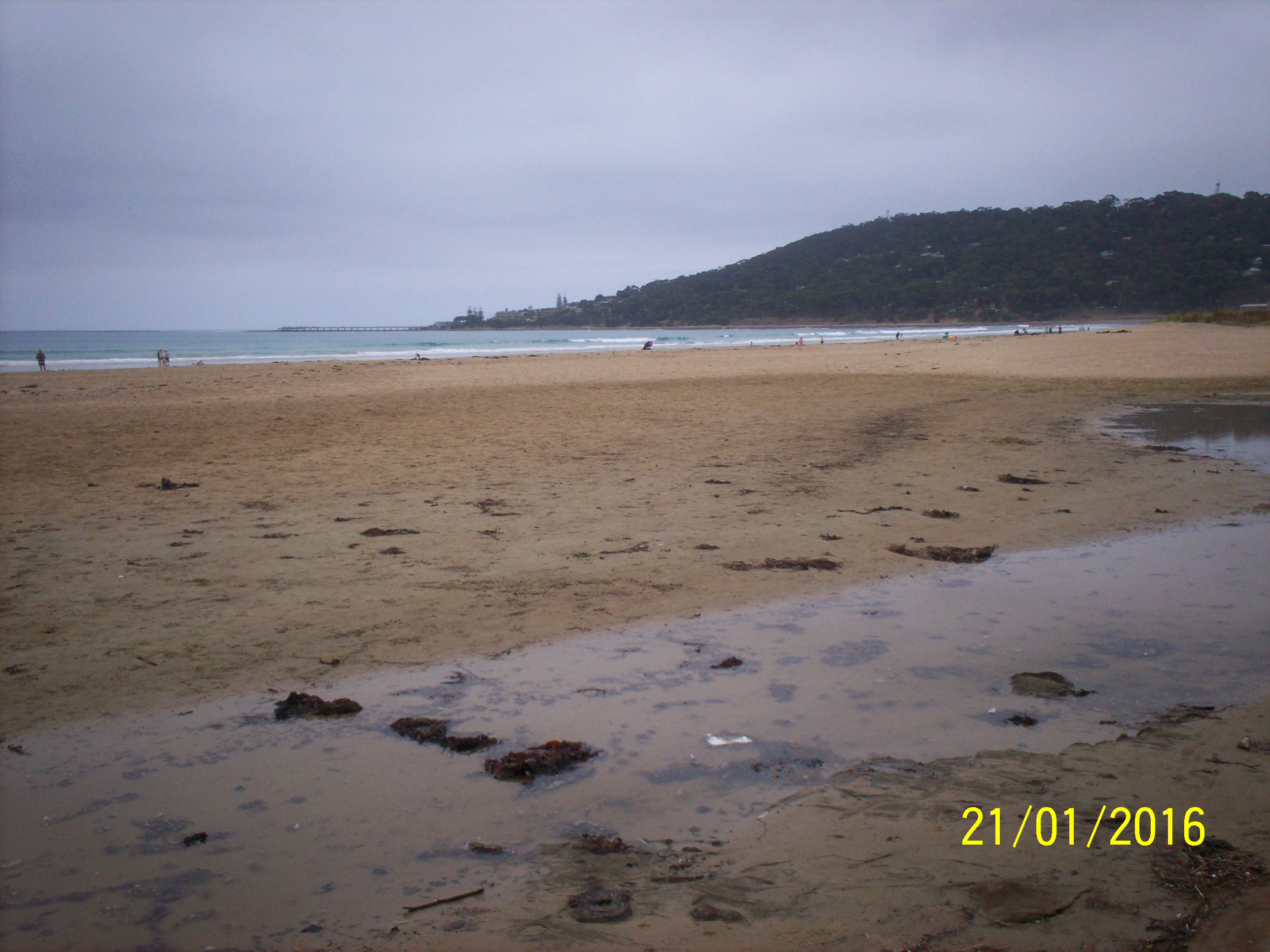
| #10105 | 21 Jan 2016 | Approved |
Notes:
Wet sand indicates inflow at high tide, so perched instead of closed. About 100m from river to sea. Unofficial rainfall of 1mm today; 1.5mm yesterday. |
|
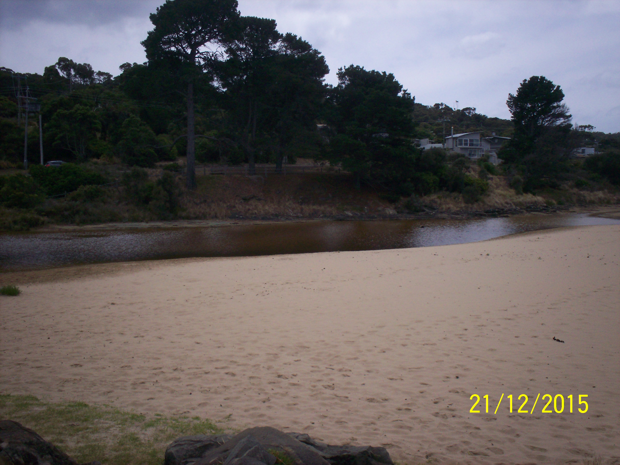
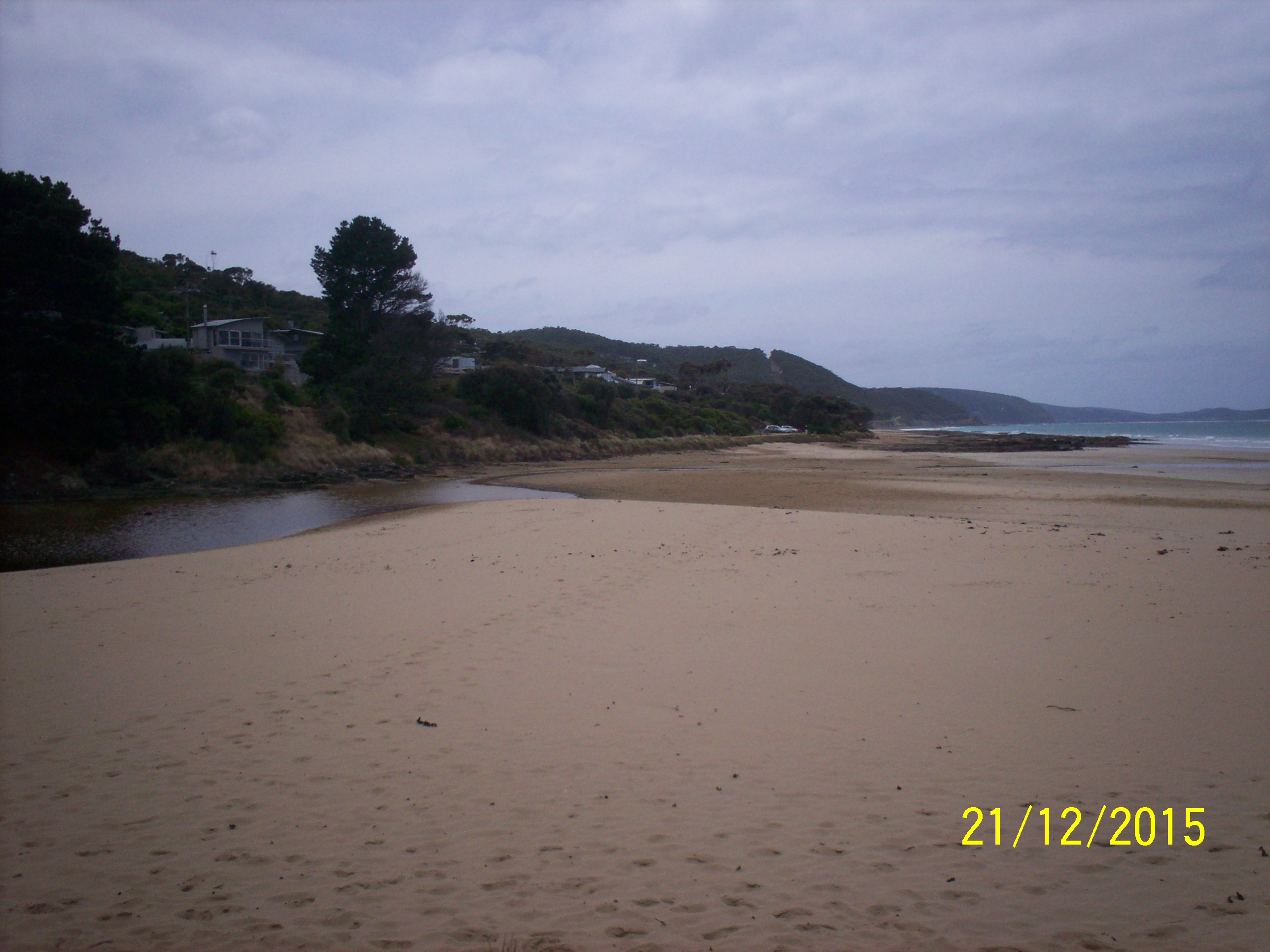
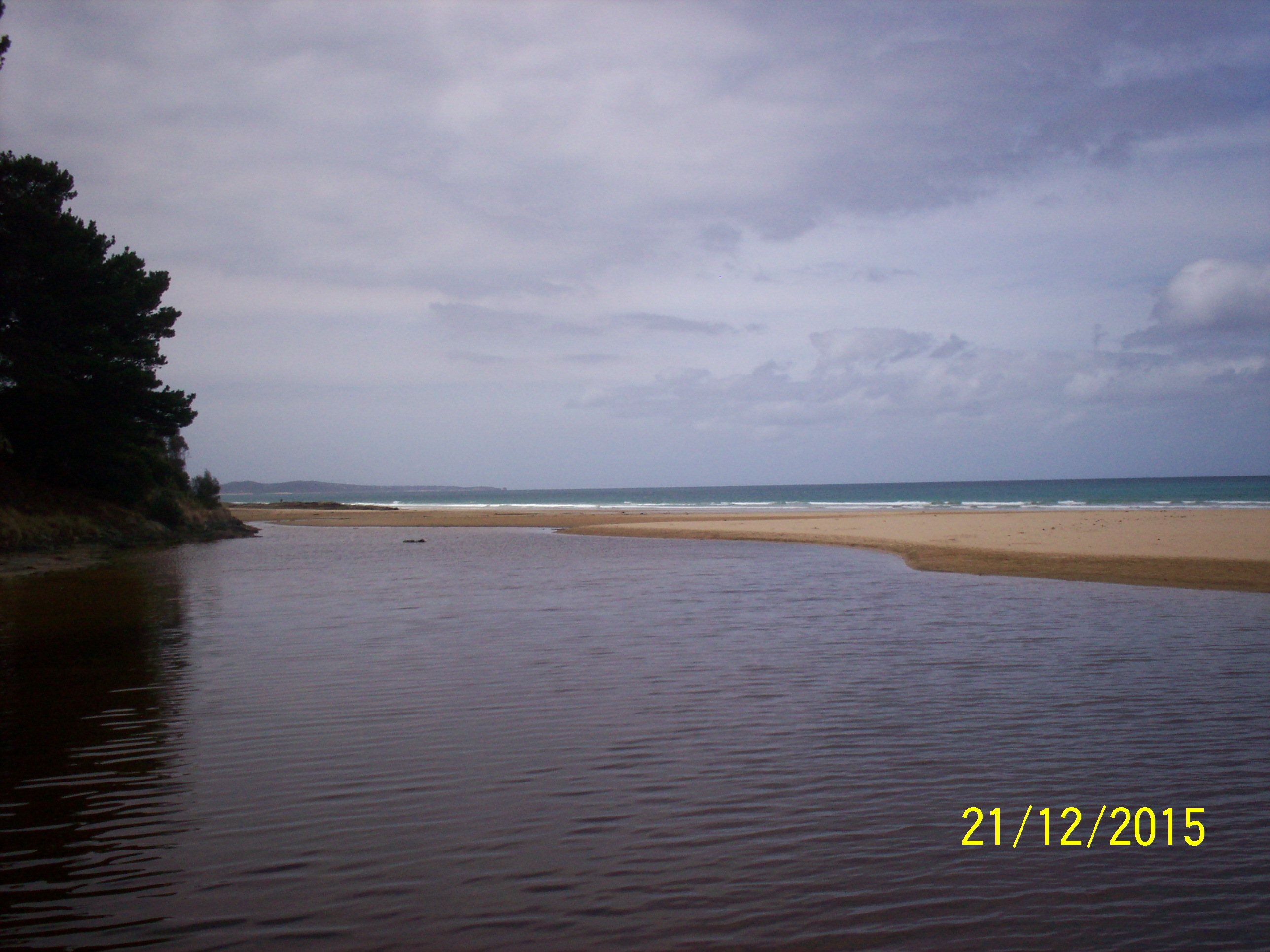
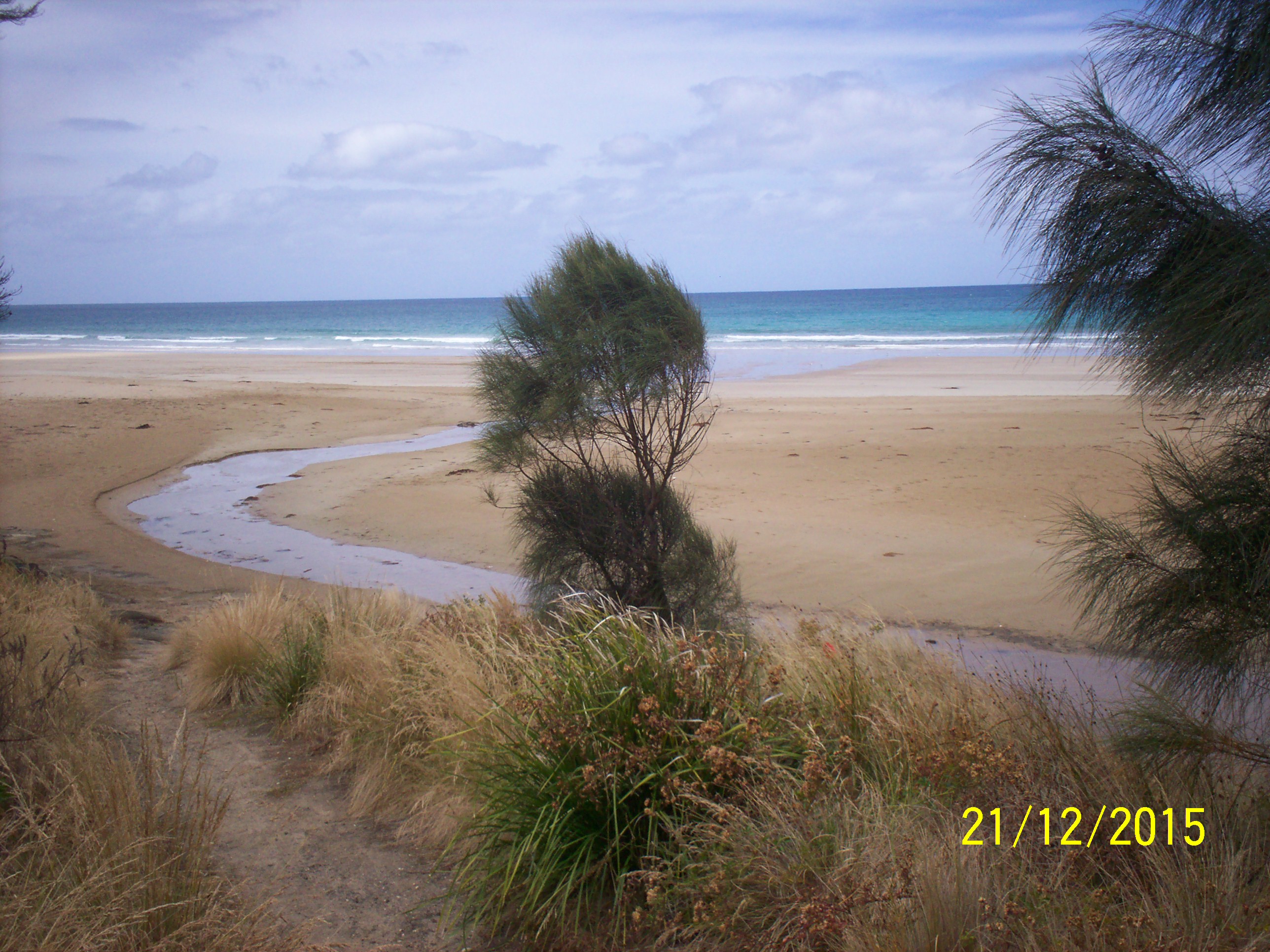
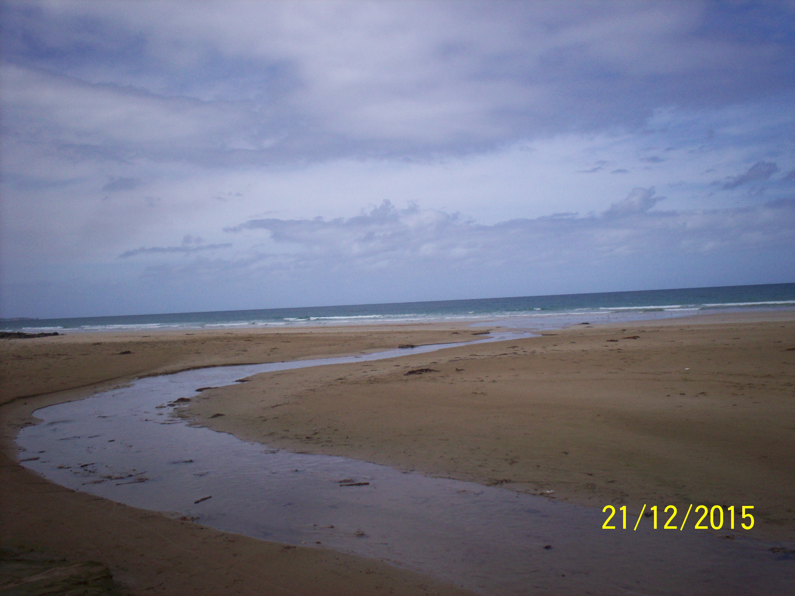
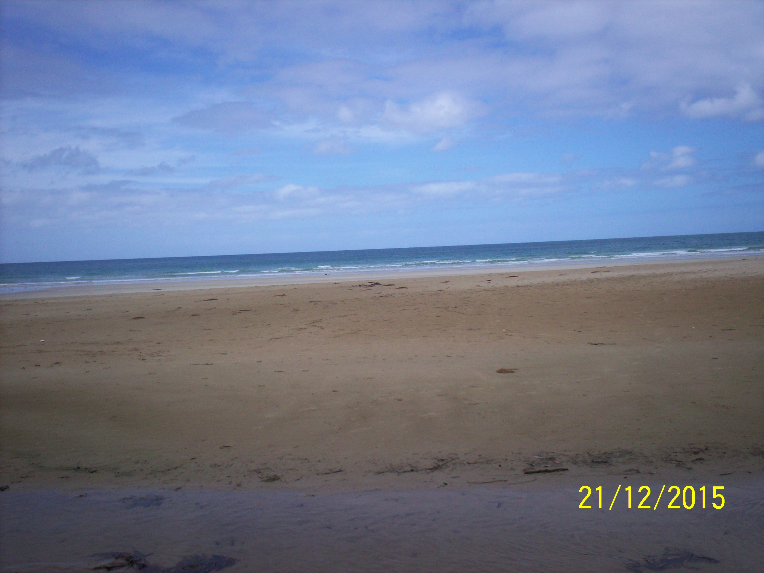
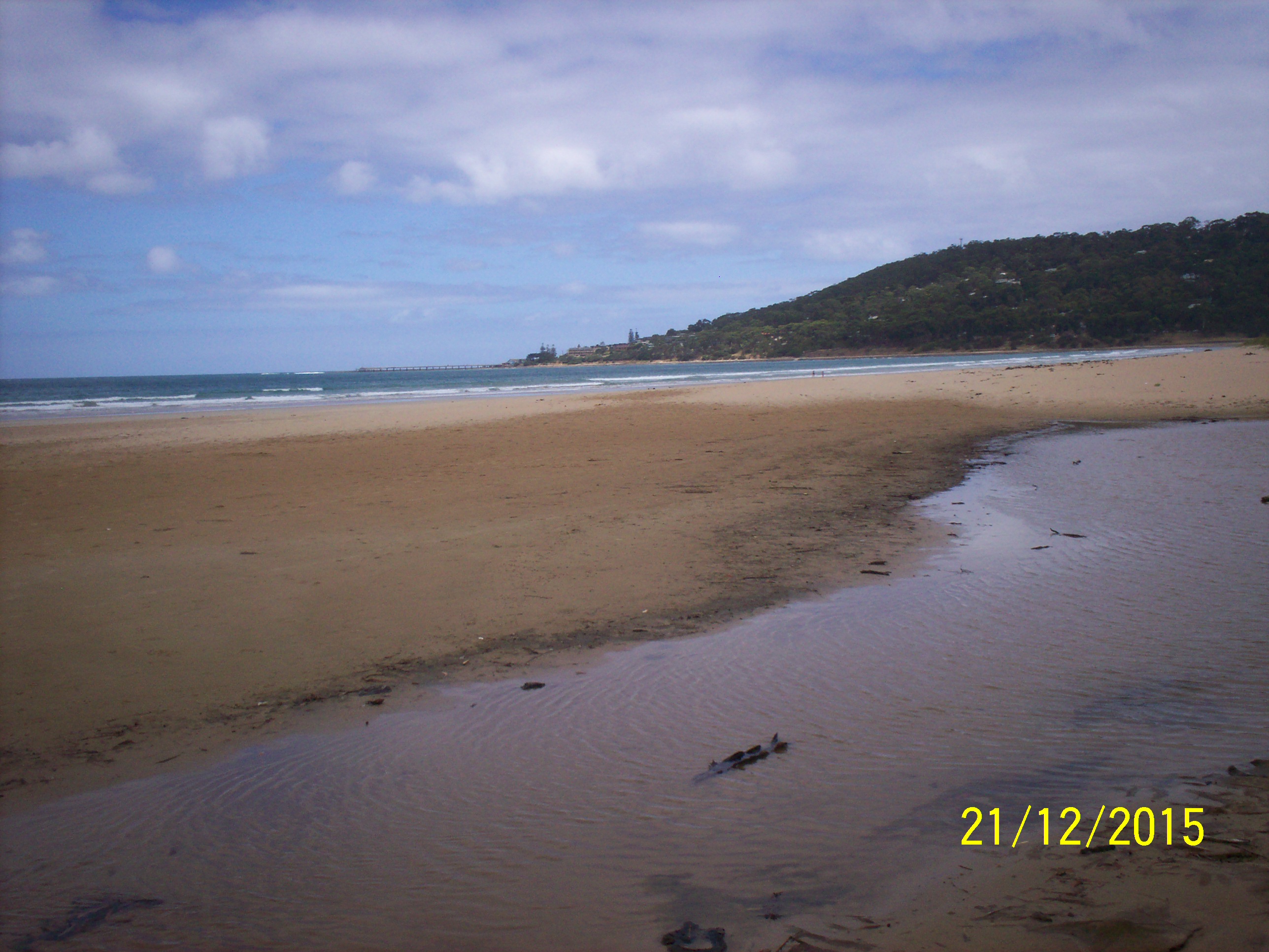
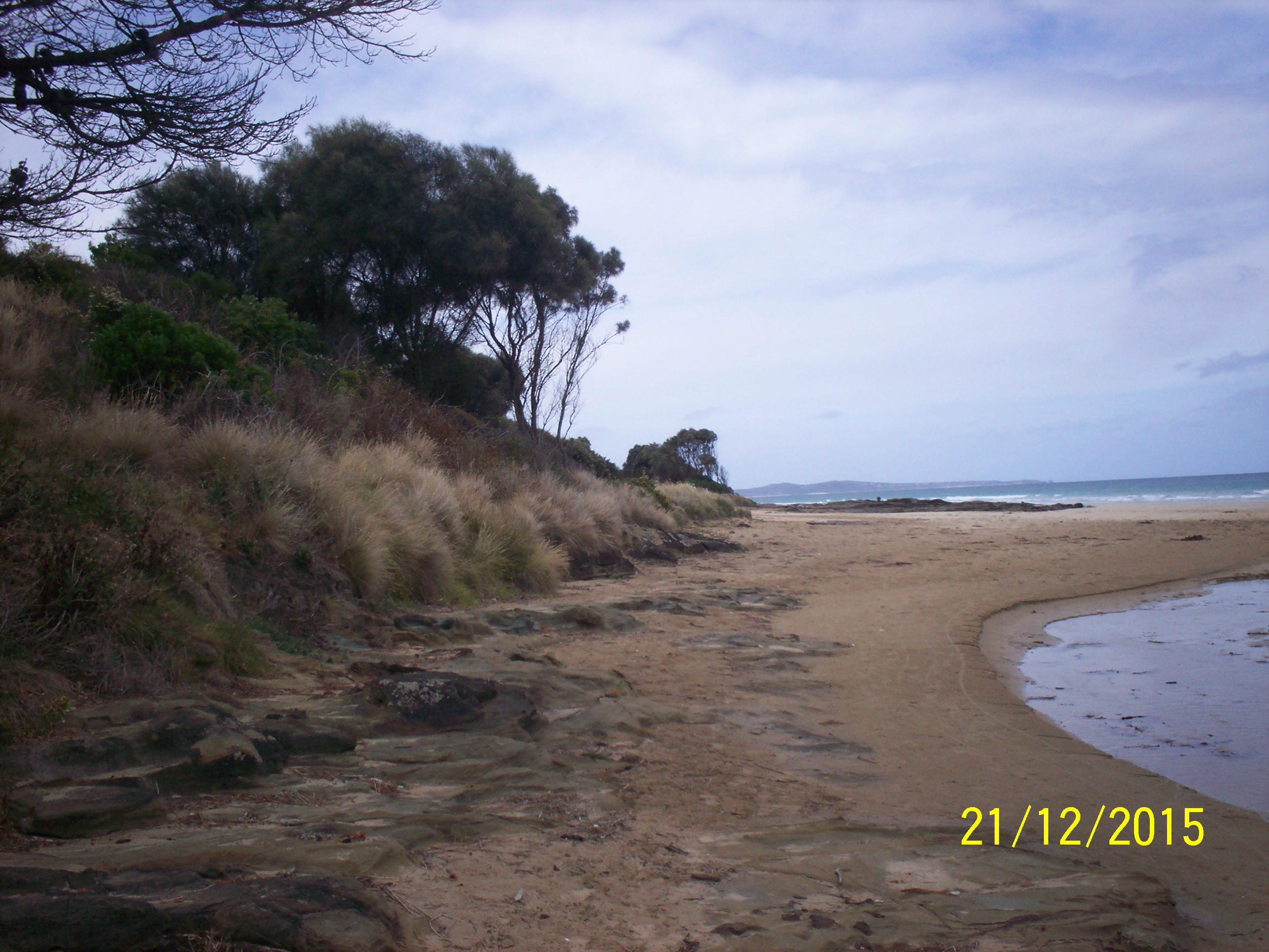
| #10047 | 21 Dec 2015 | Approved | ||
| #10026 | 20 Nov 2015 | Approved |
|
|
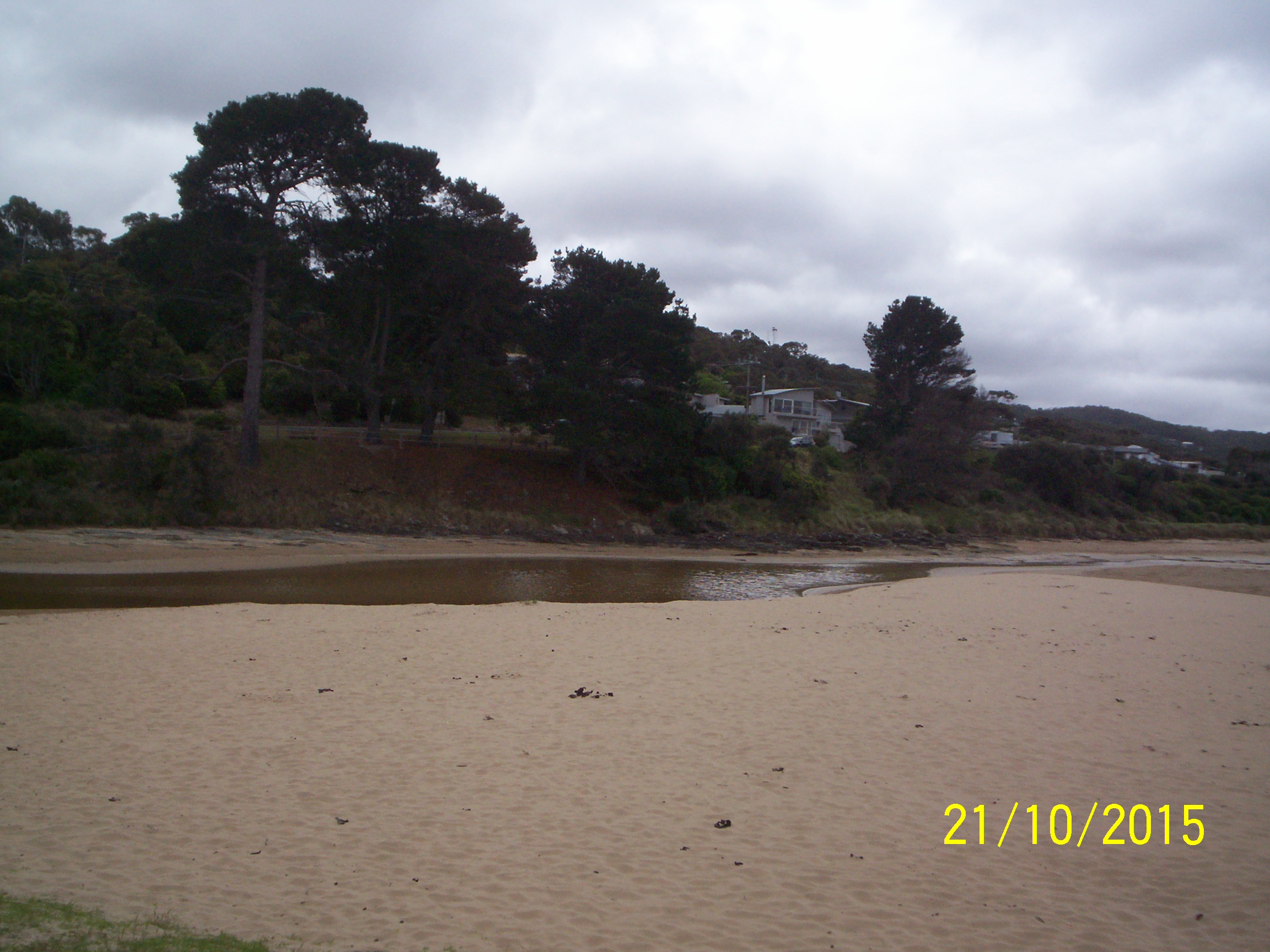
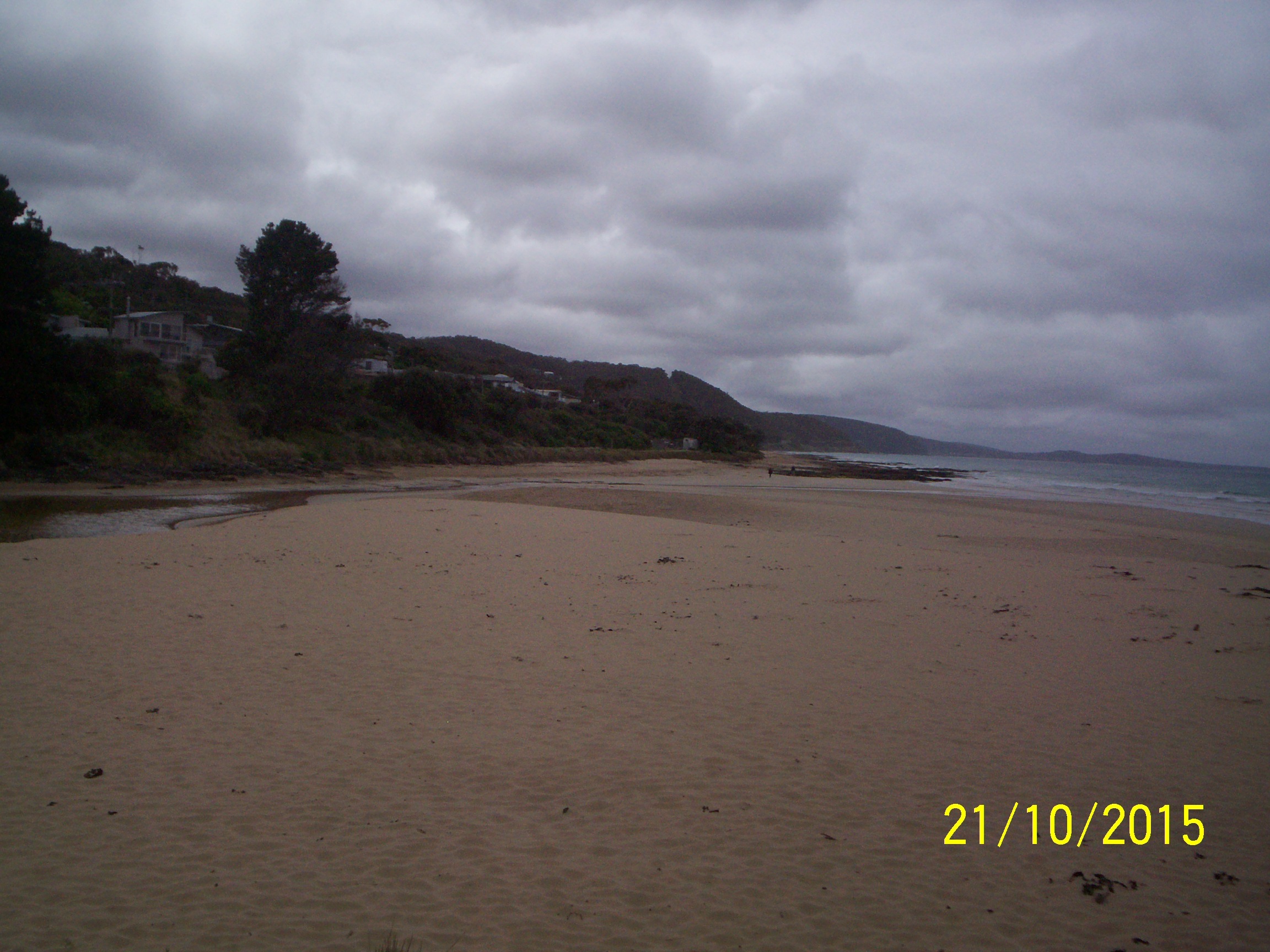
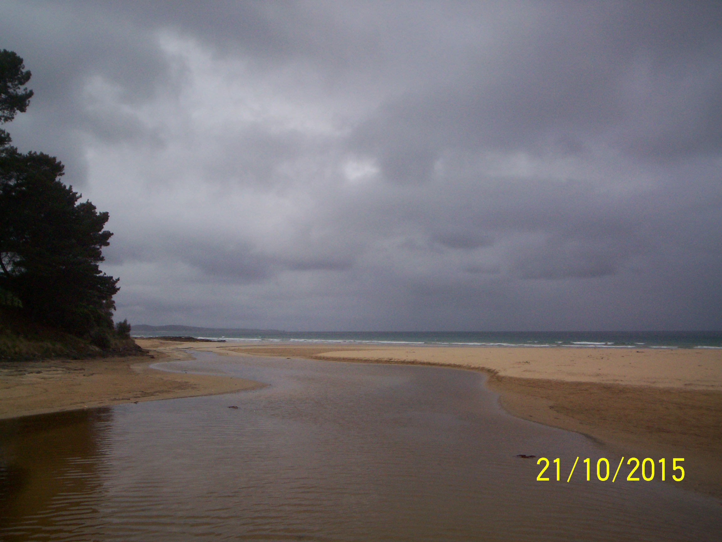
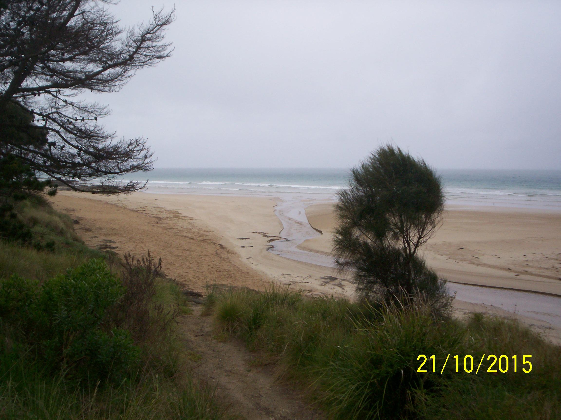
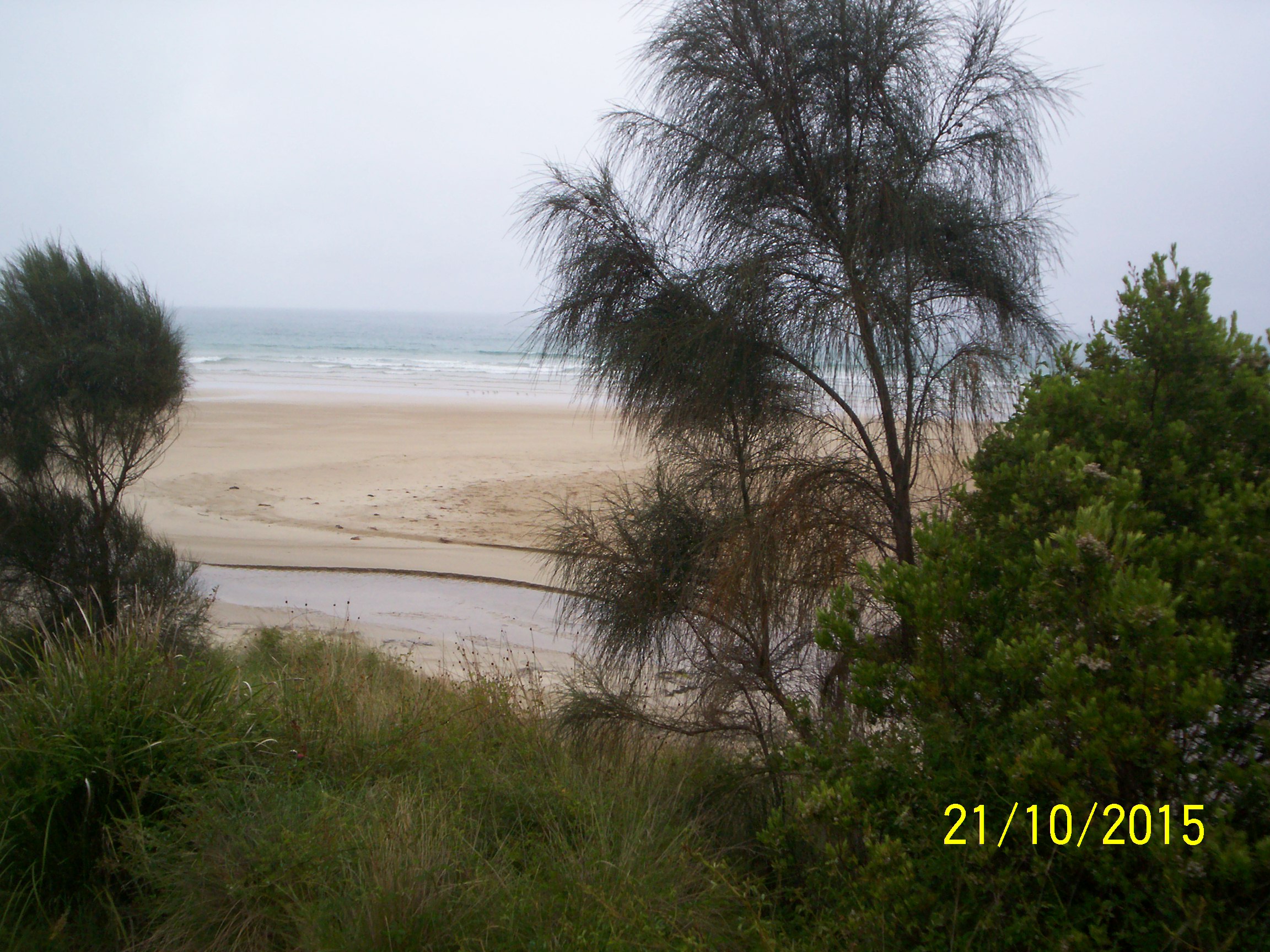
| #9920 | 21 Oct 2015 | Approved | Notes: It was too wet to set up tripod for EP4 photos. | |
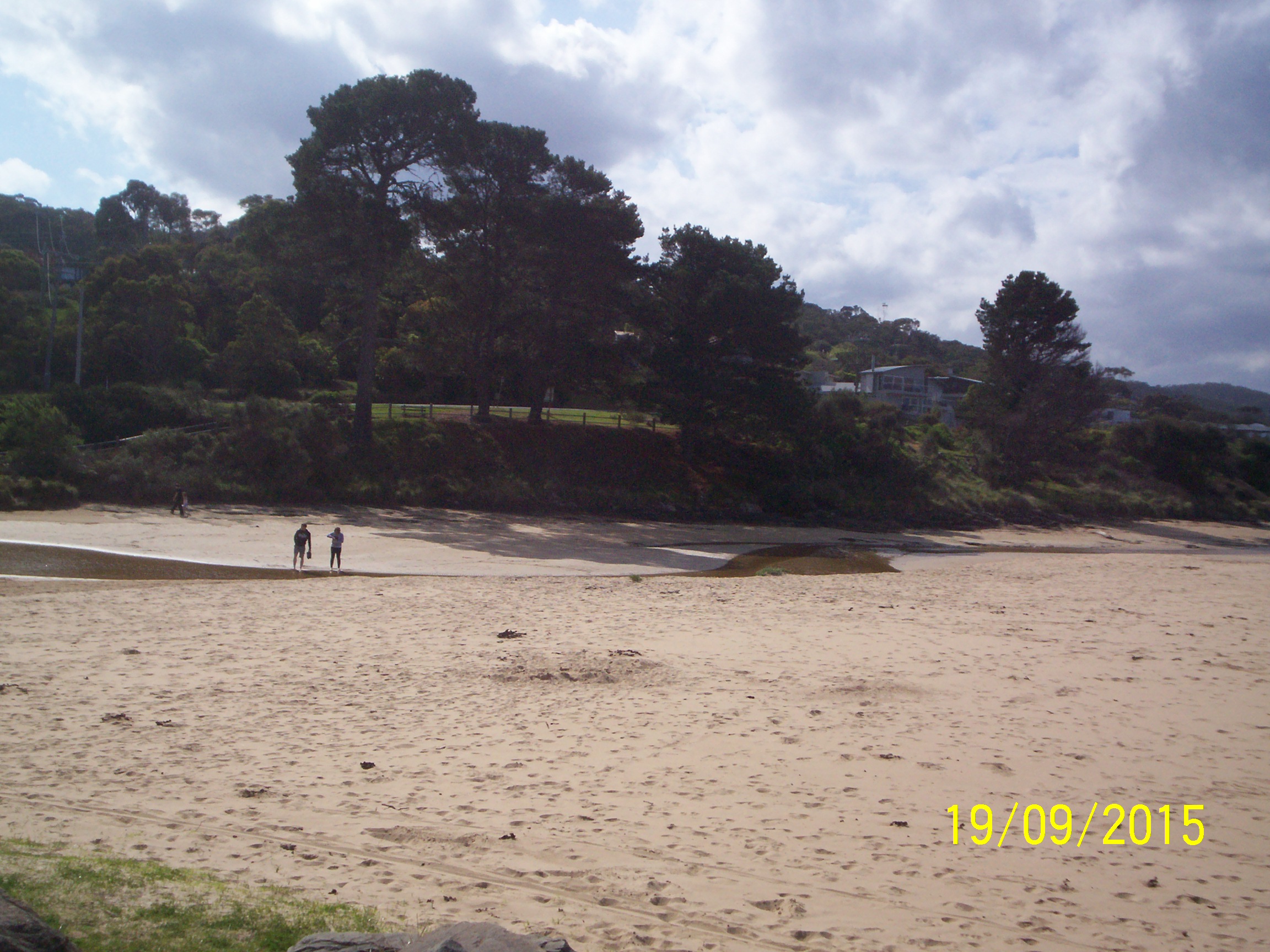
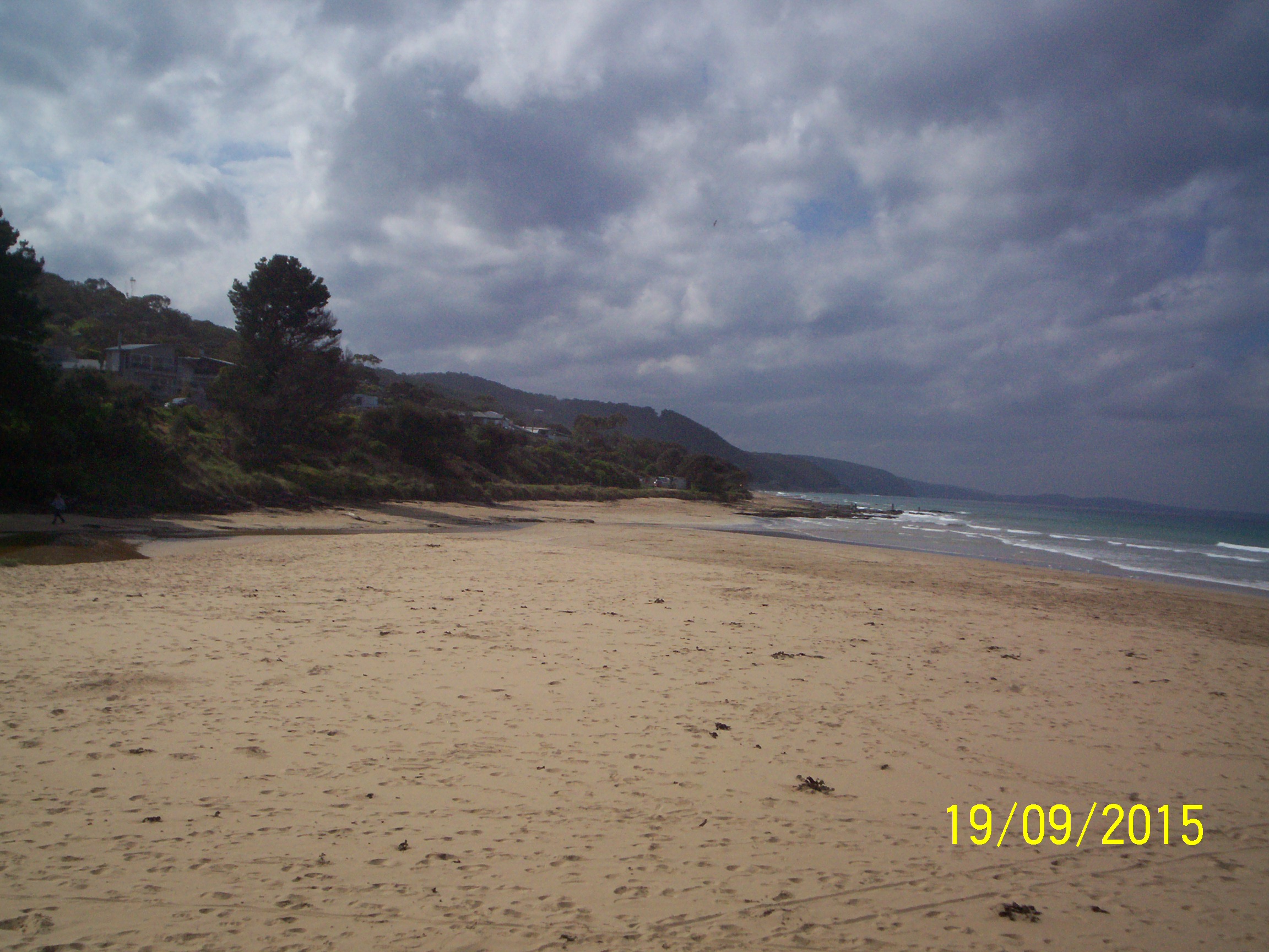
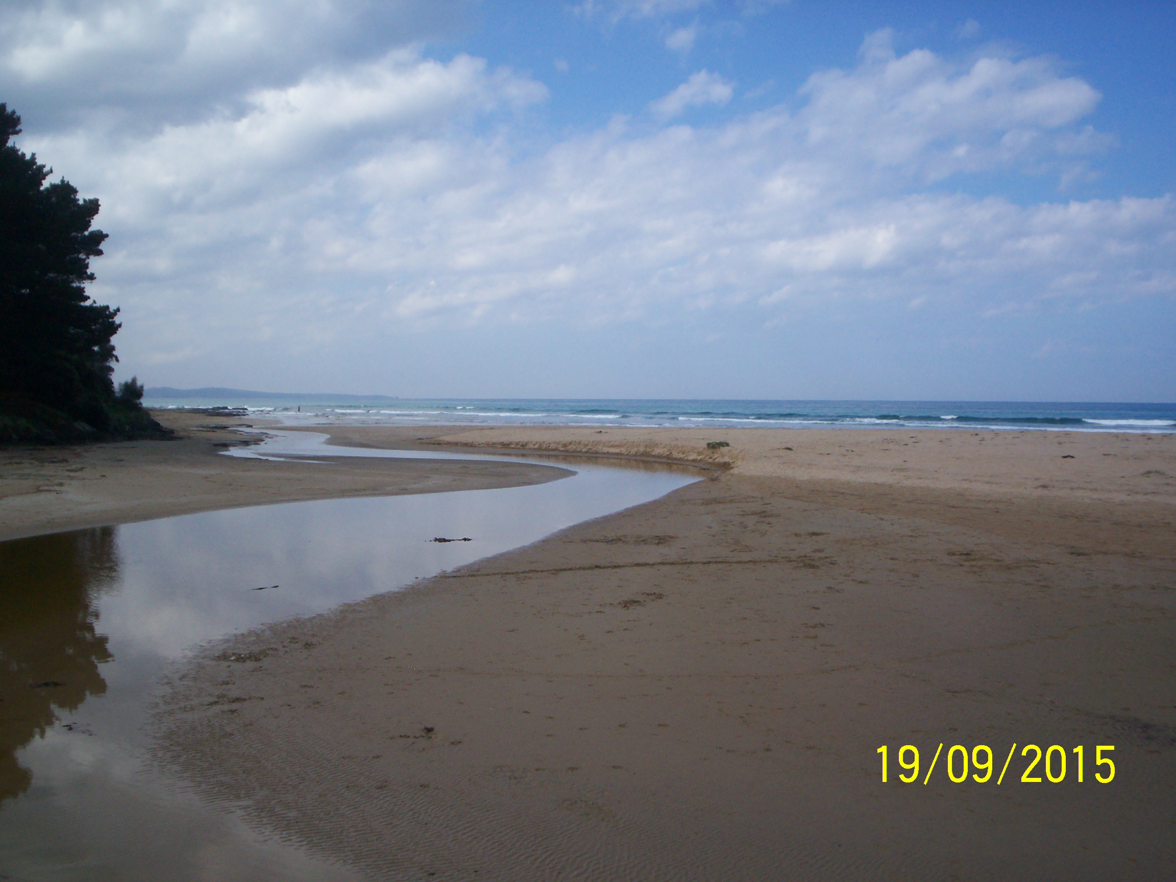
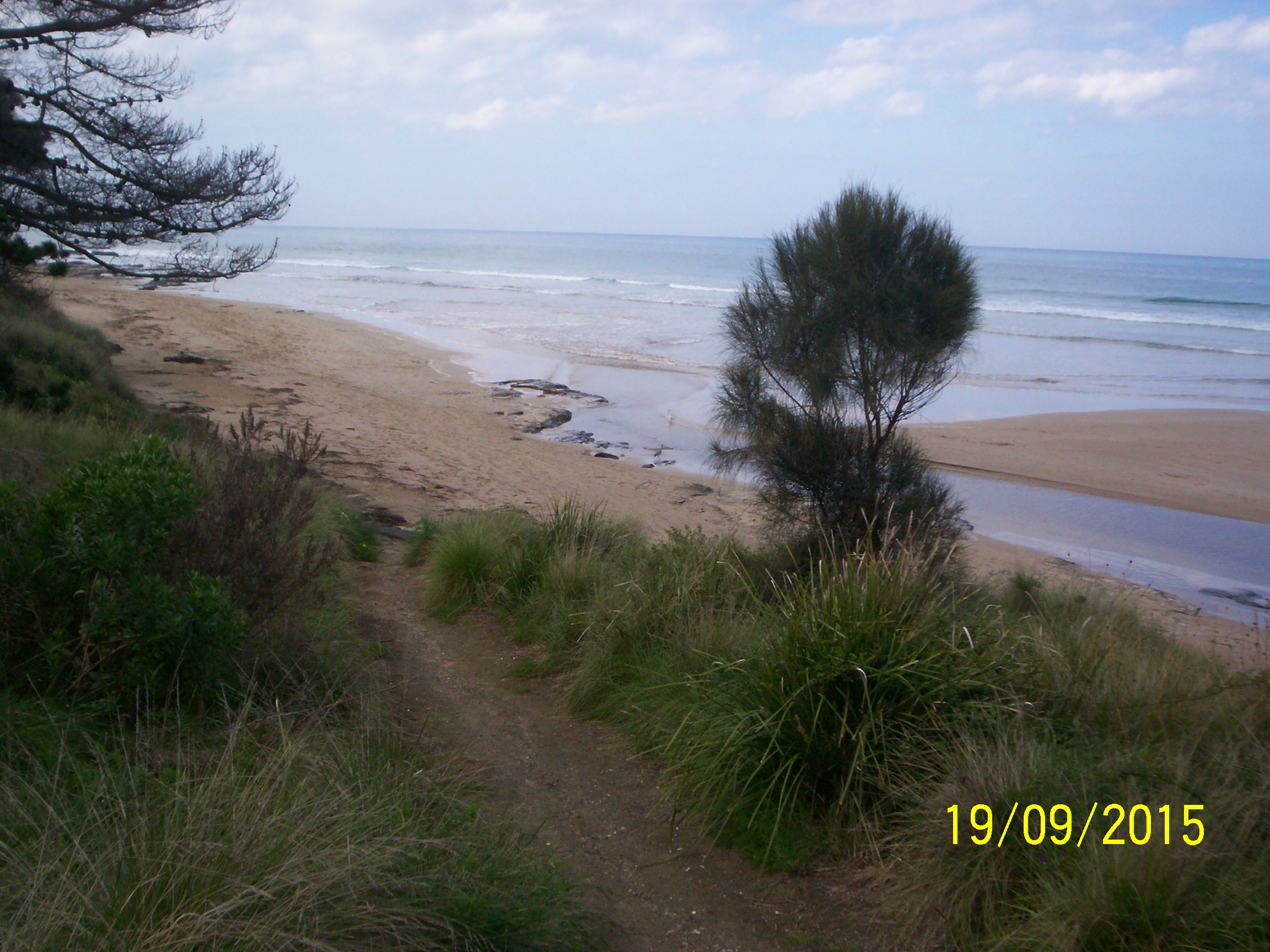
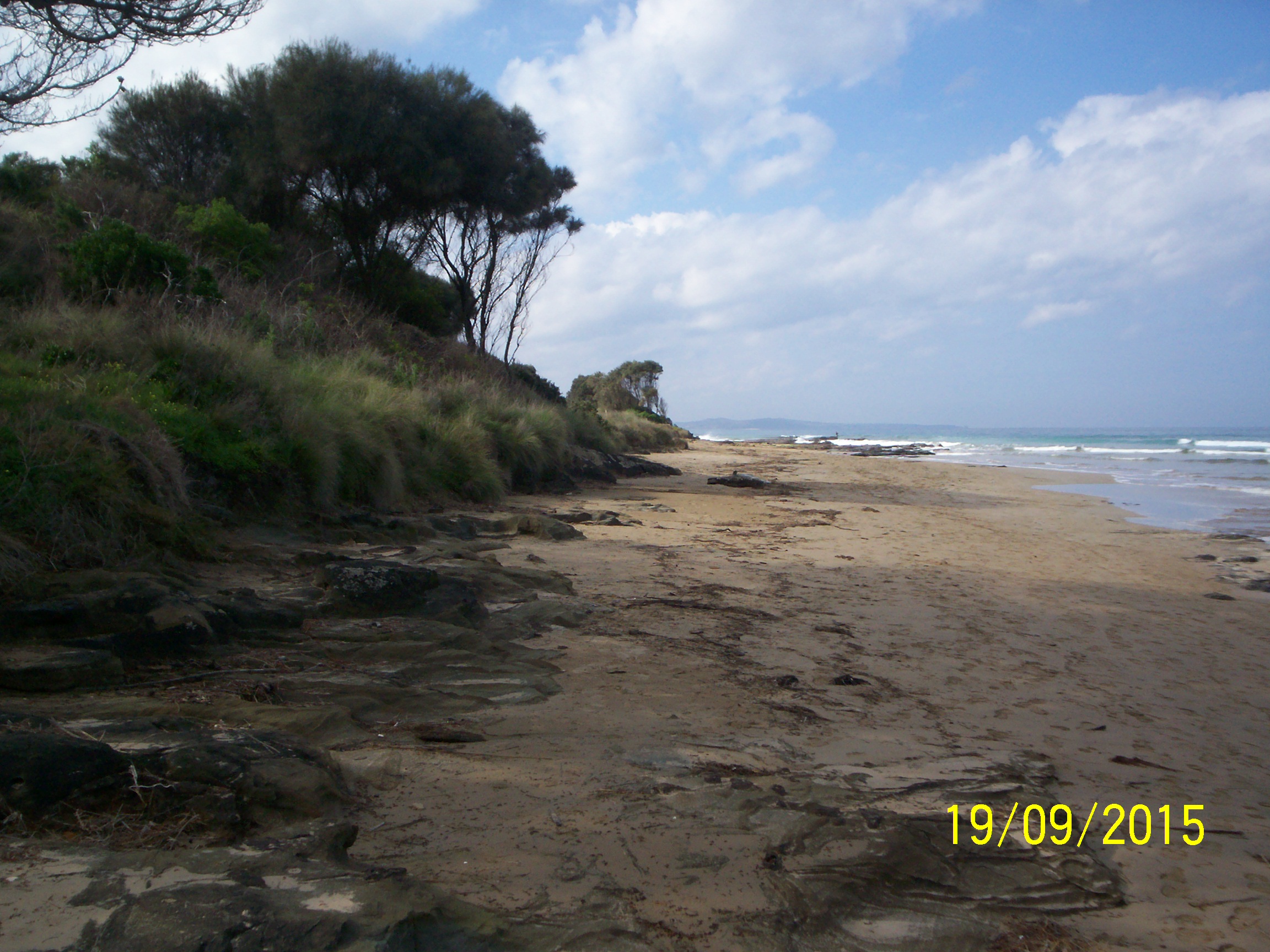
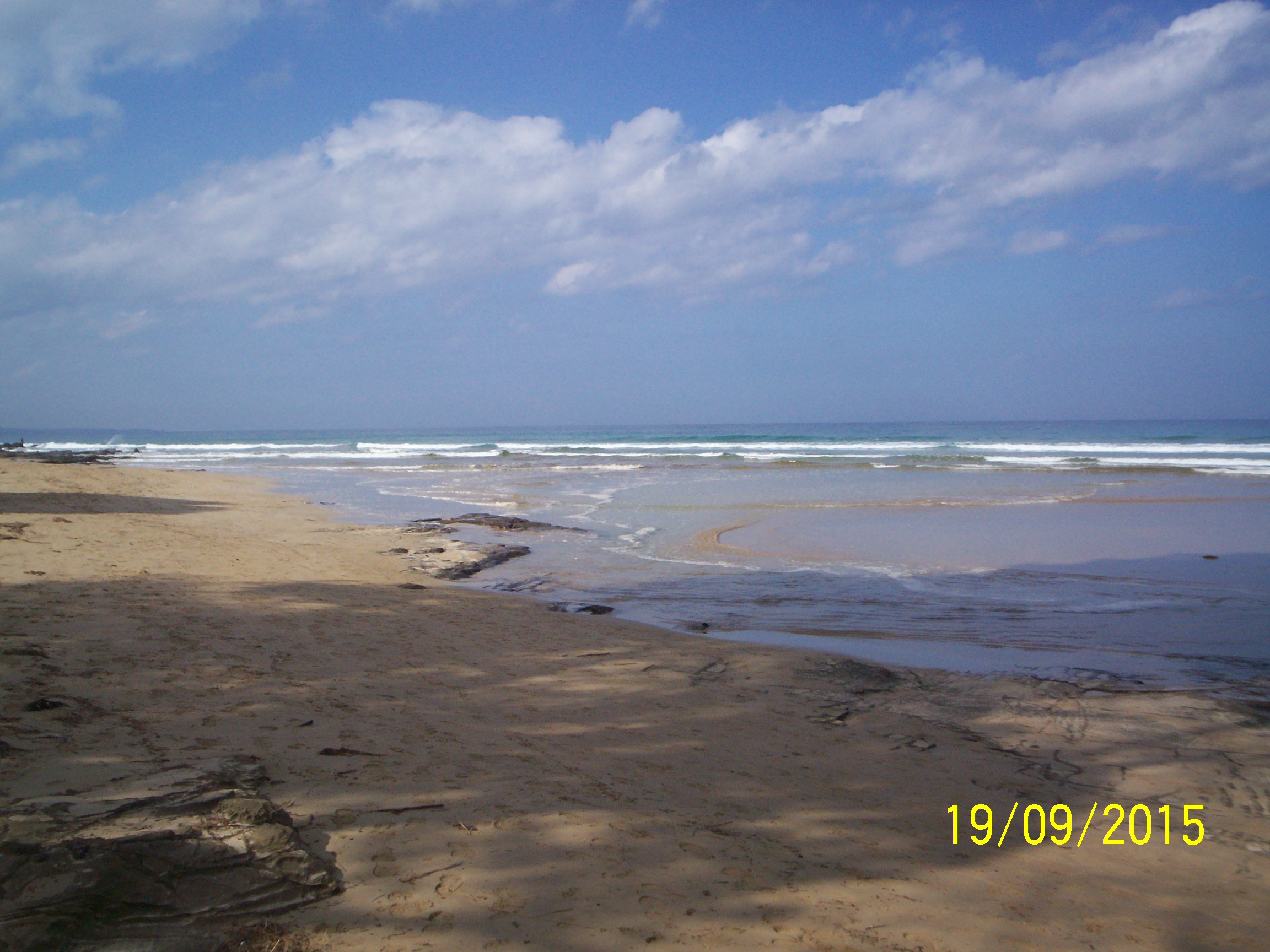
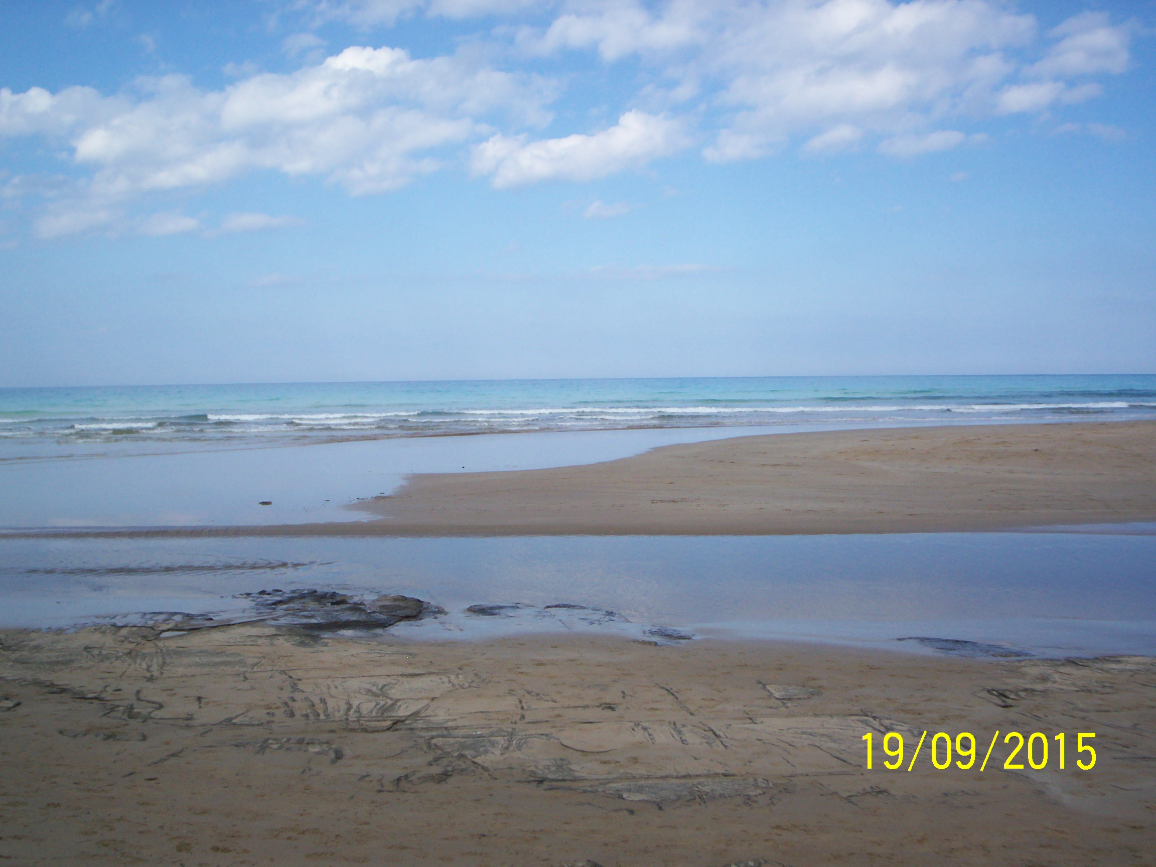
| #9853 | 19 Sep 2015 | Approved | ||
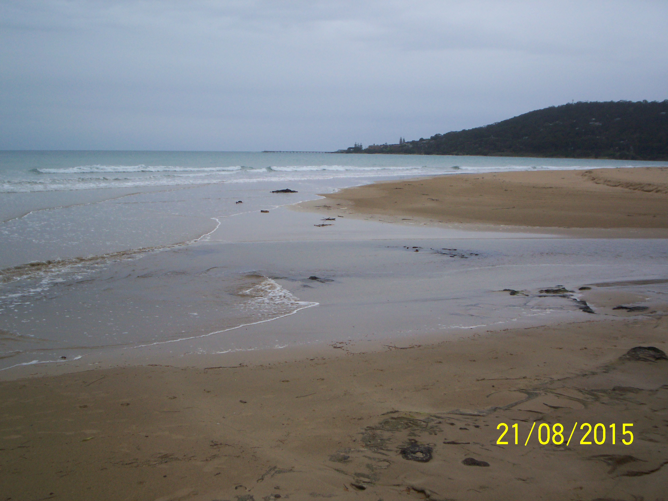
| #9802 | 21 Aug 2015 | Approved | ||
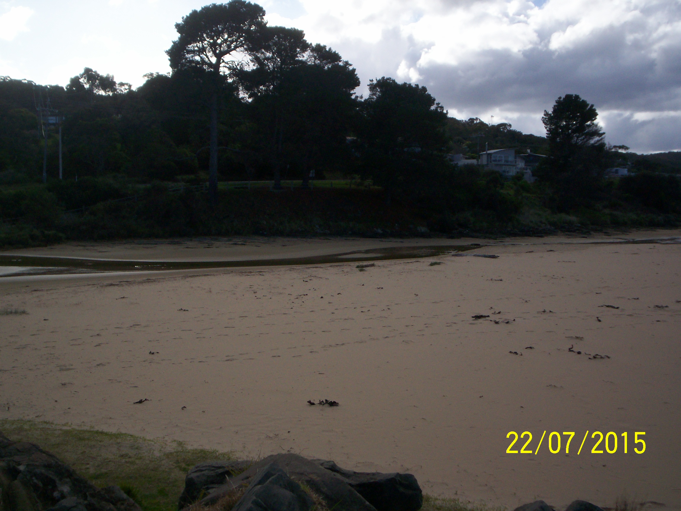
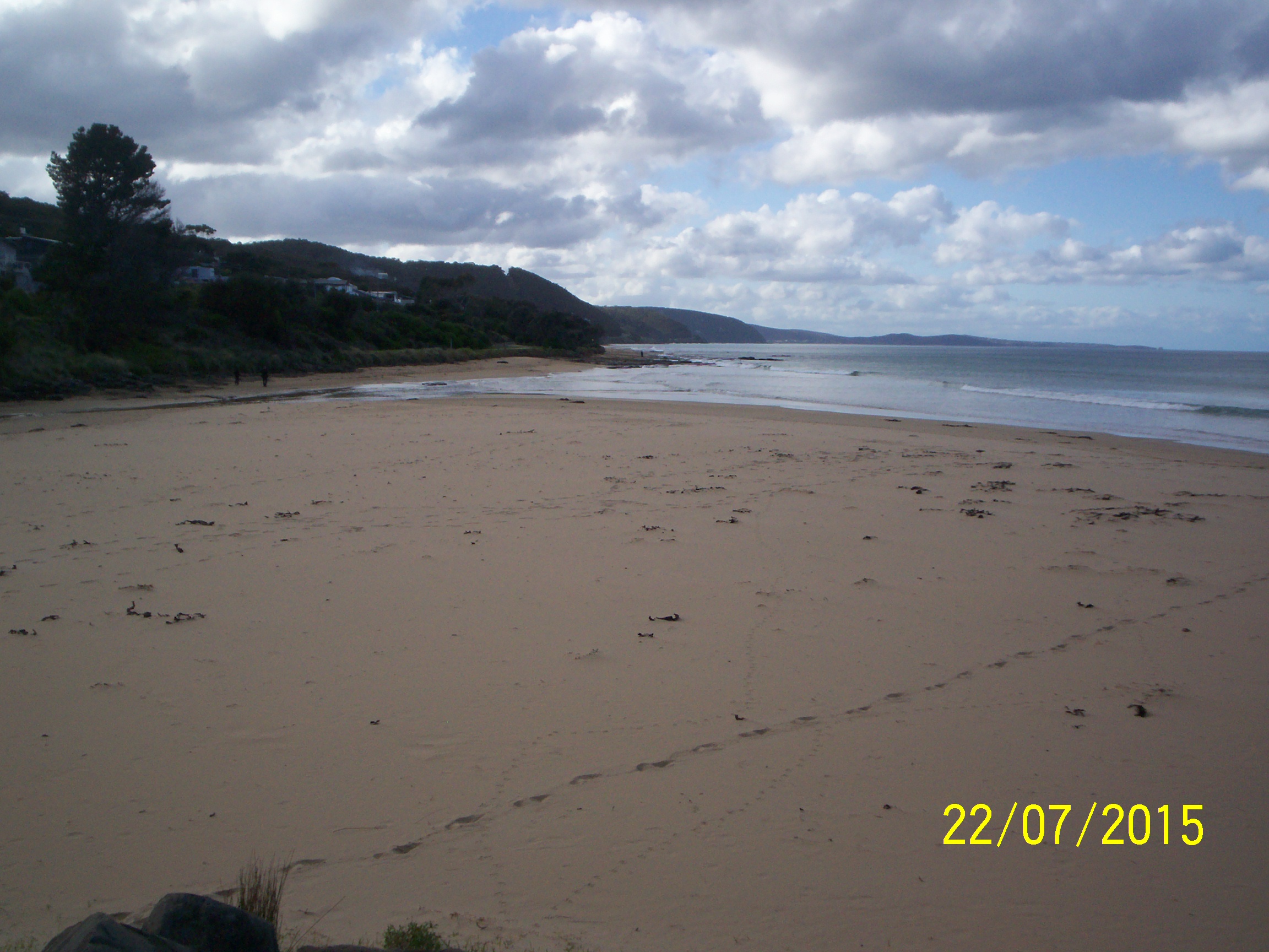
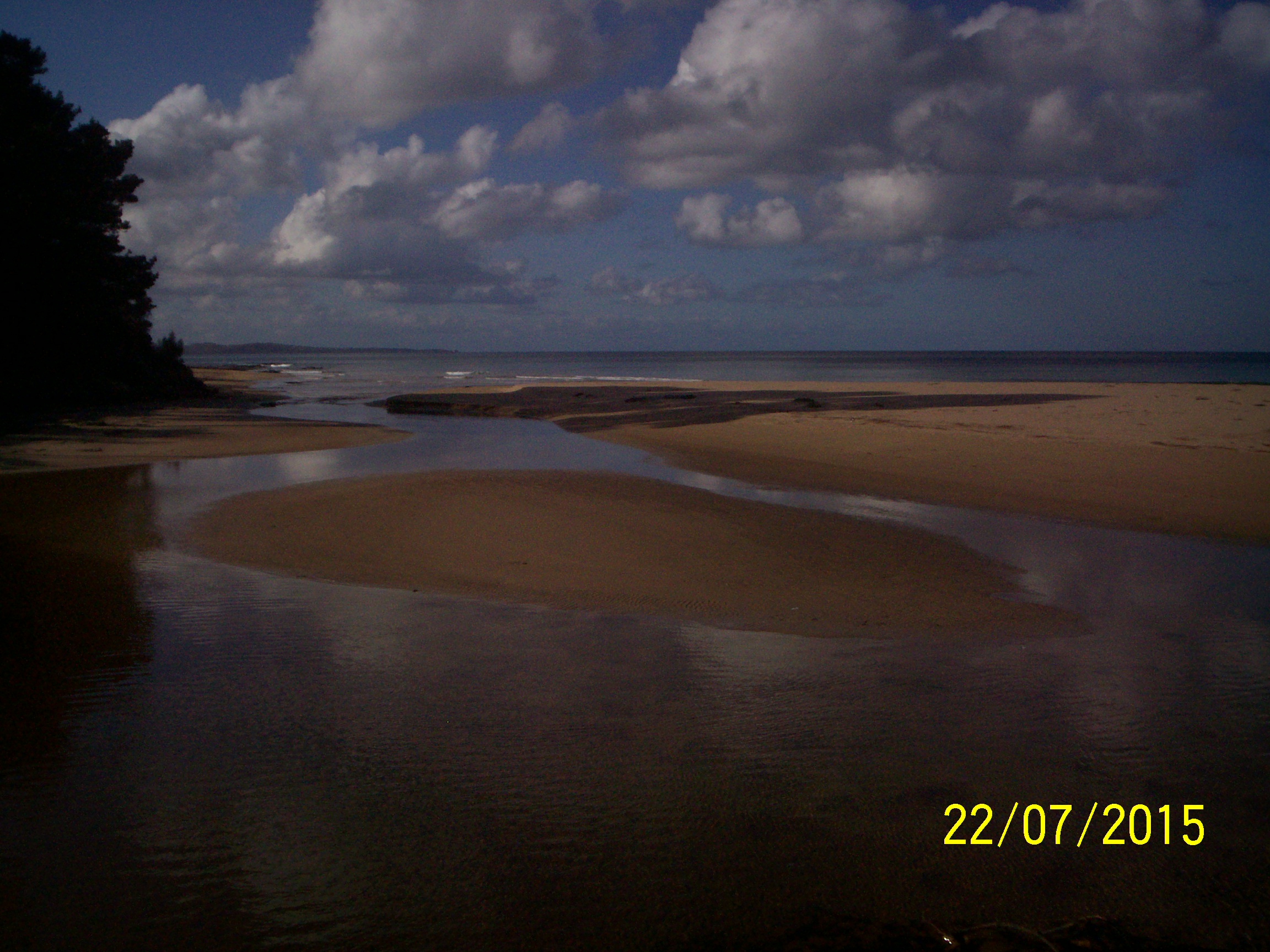
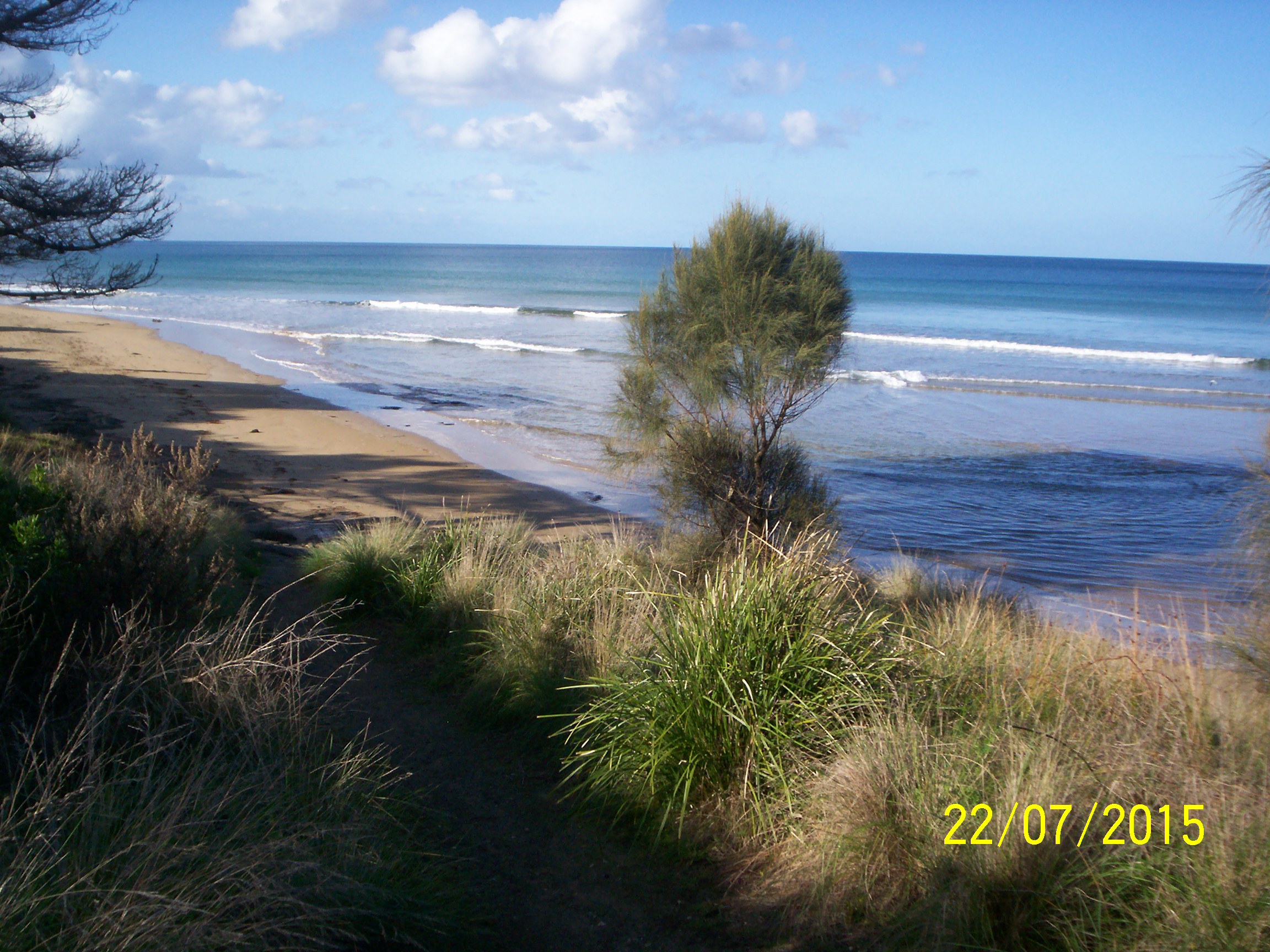
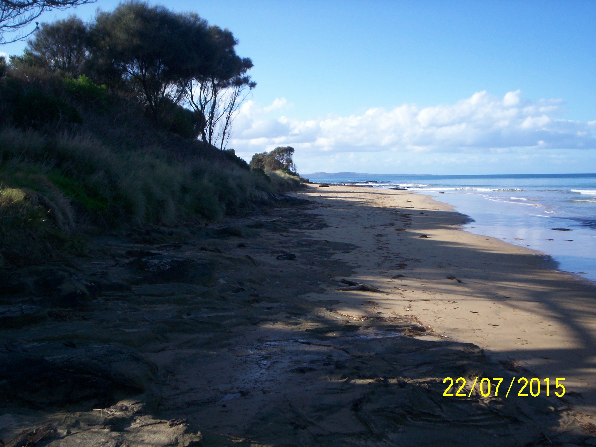
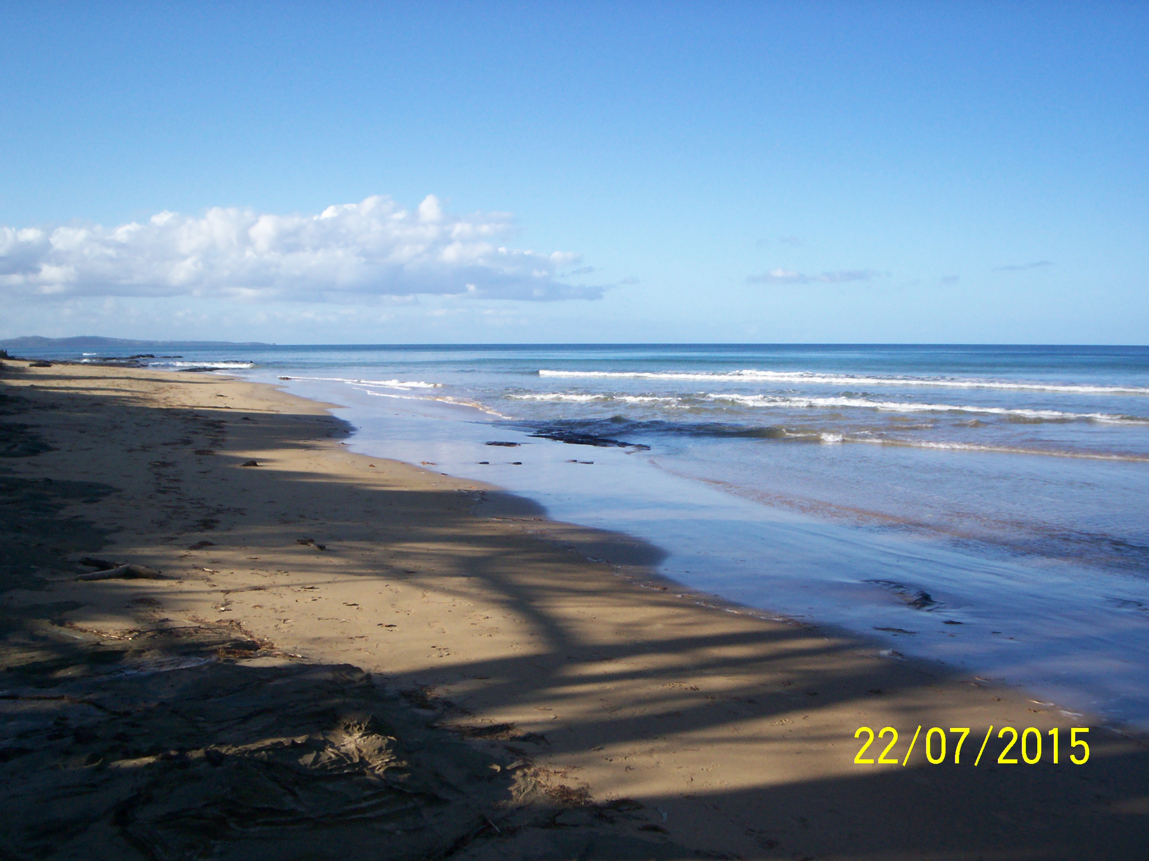
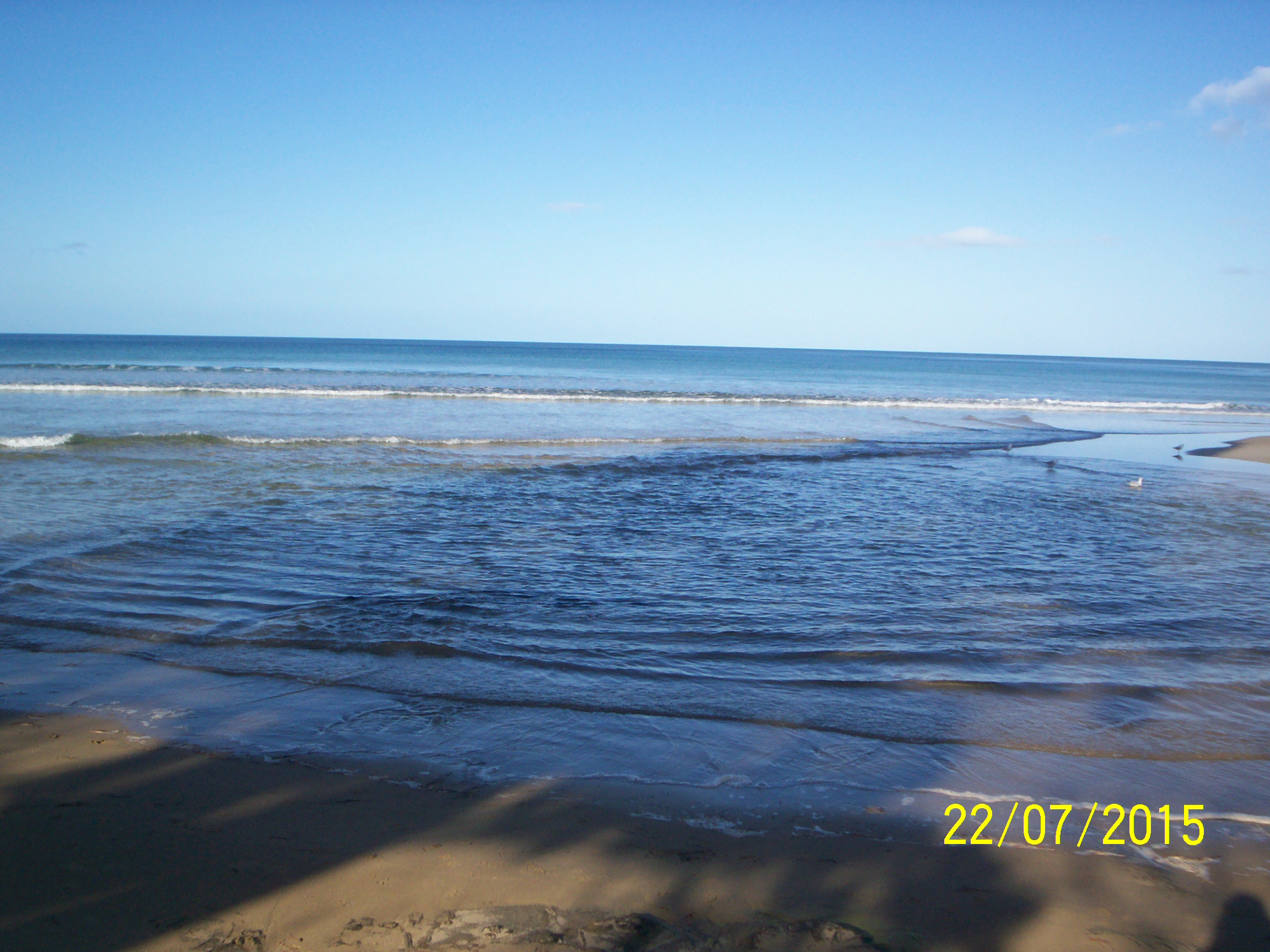
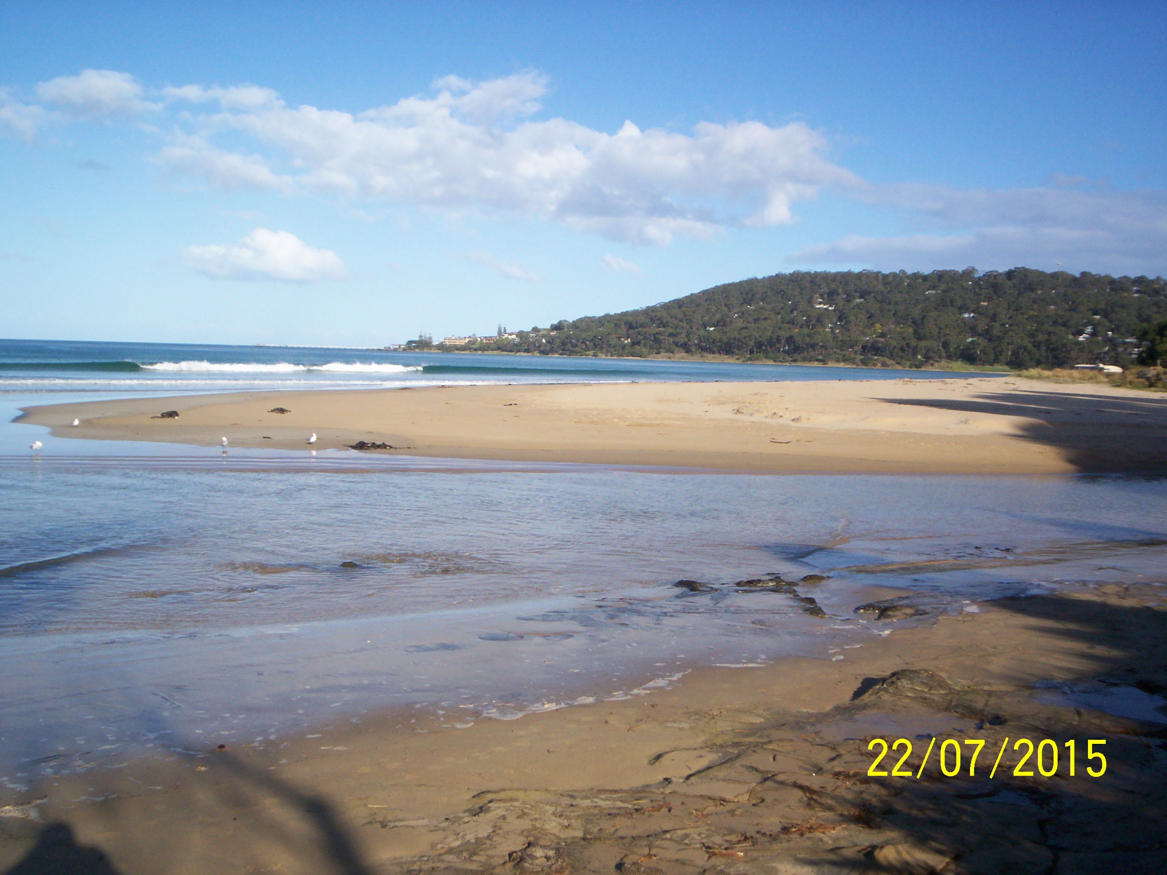
| #9774 | 22 Jul 2015 | Approved | Notes: Depth gauge too muddy to read, but water level at end was higher than at start. | |
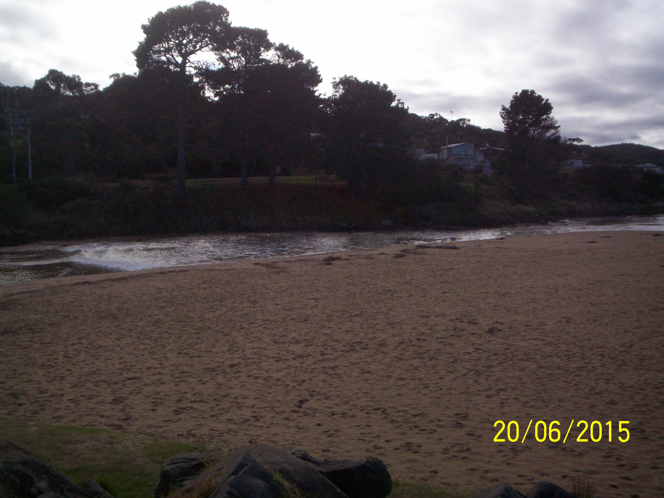
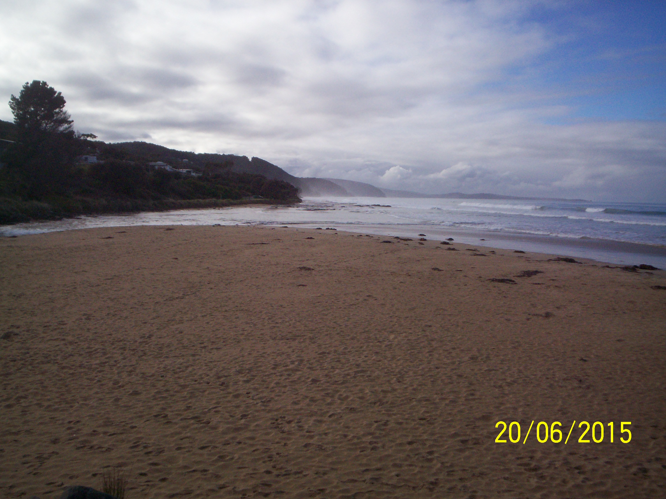
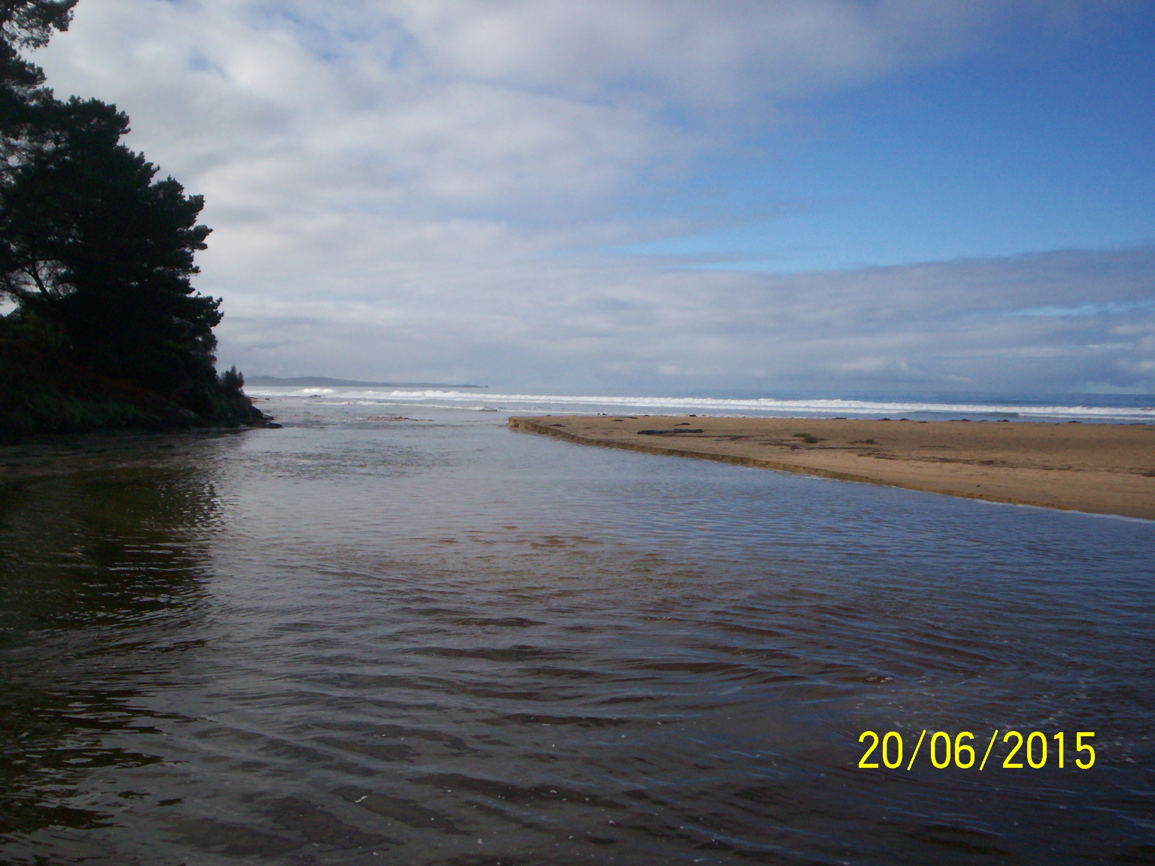
| #9684 | 20 Jun 2015 | Approved |
Notes:
Re Mouth Observation: Flow Direction was recorded as "Both in and out". South side sand undercut by 73cm. Depth gauge too muddy to read at low levels; it was at about 0.50m at 13.25. EP4 photos not taken because incoming tide was hitting rocks in front of EP4 and splashing up. Could find only three photos for this date on Ulric's memory card - one for each of Ep1, Ep2 and Ep3. |
|
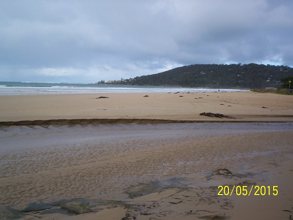
| #9611 | 21 May 2015 | Approved |
Notes:
Unofficial rainfall on 20-21 May of 15mm had undercut south side bank by 24cm. Tripod not available so Ep4 photo angles only approximate. |
|
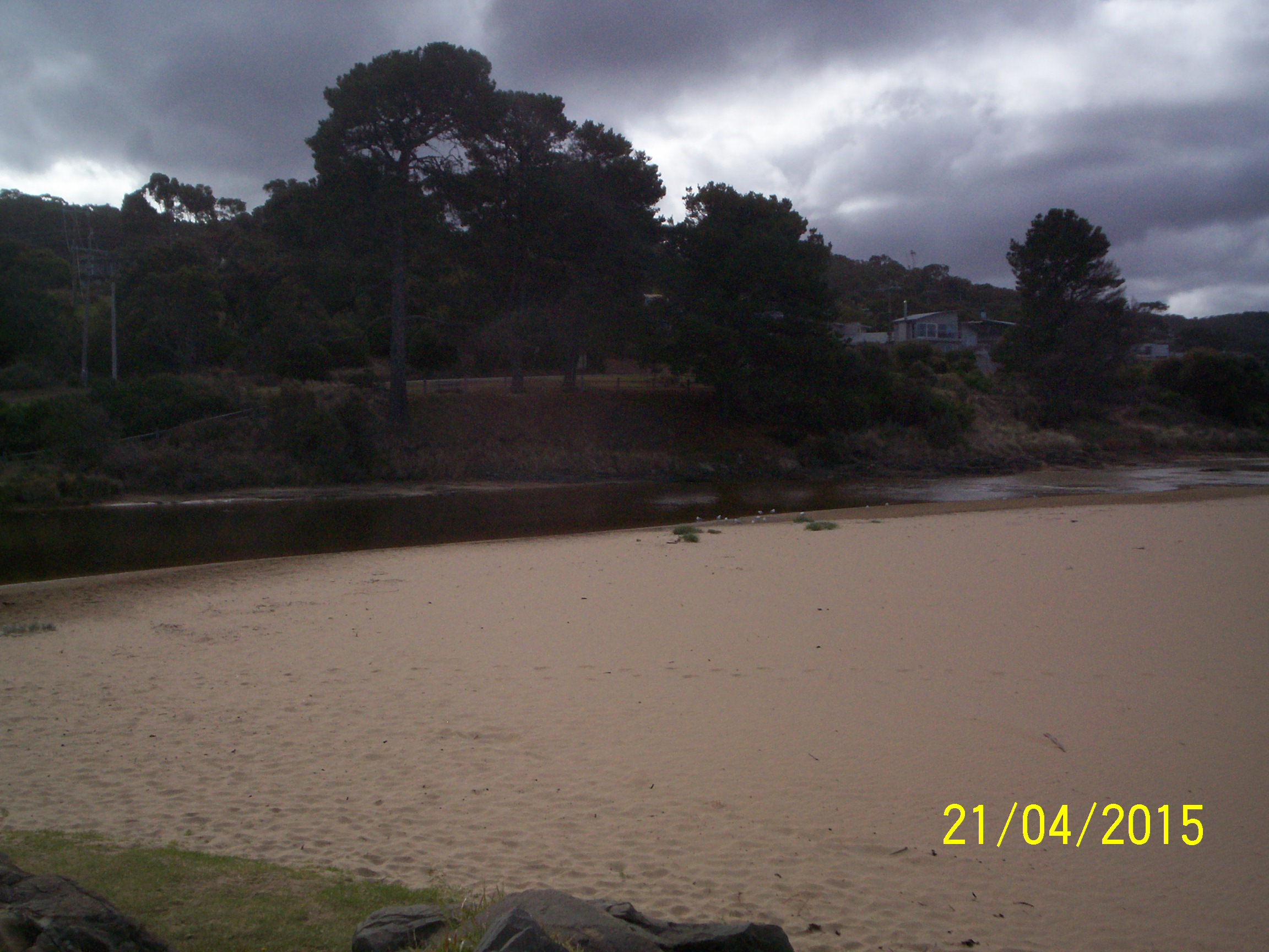
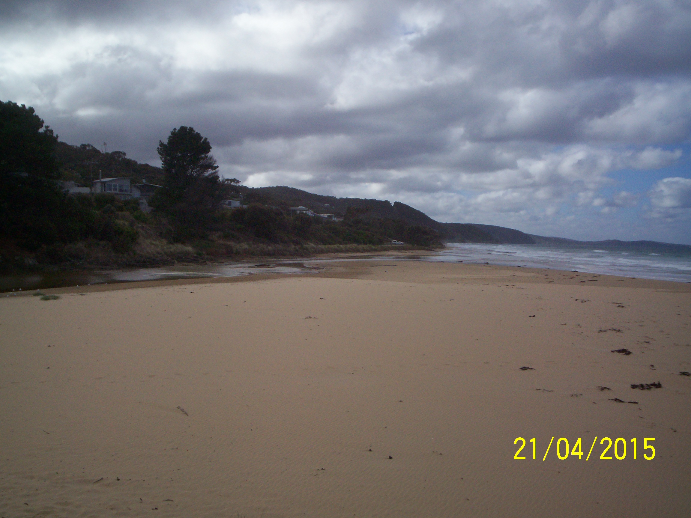
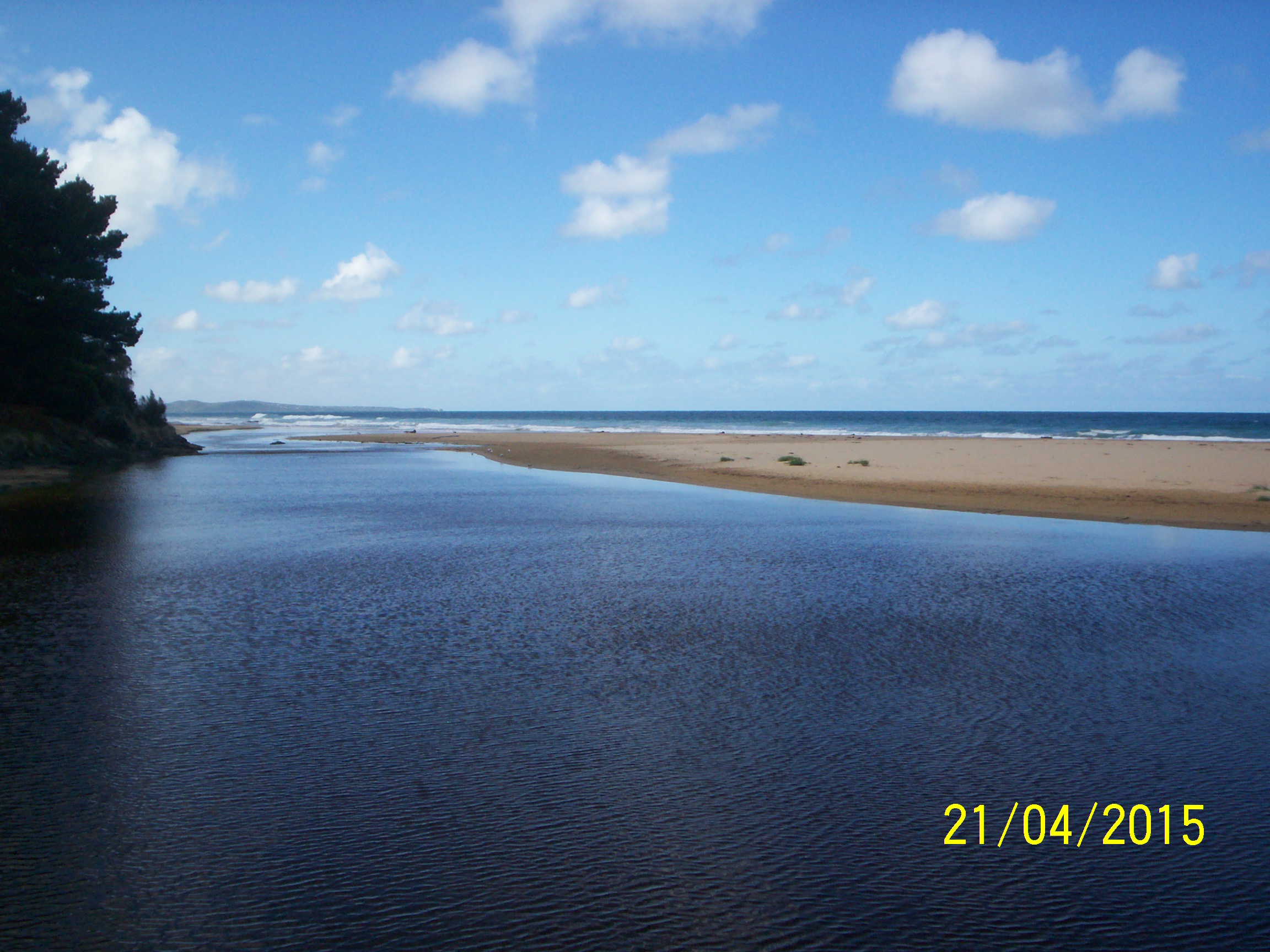
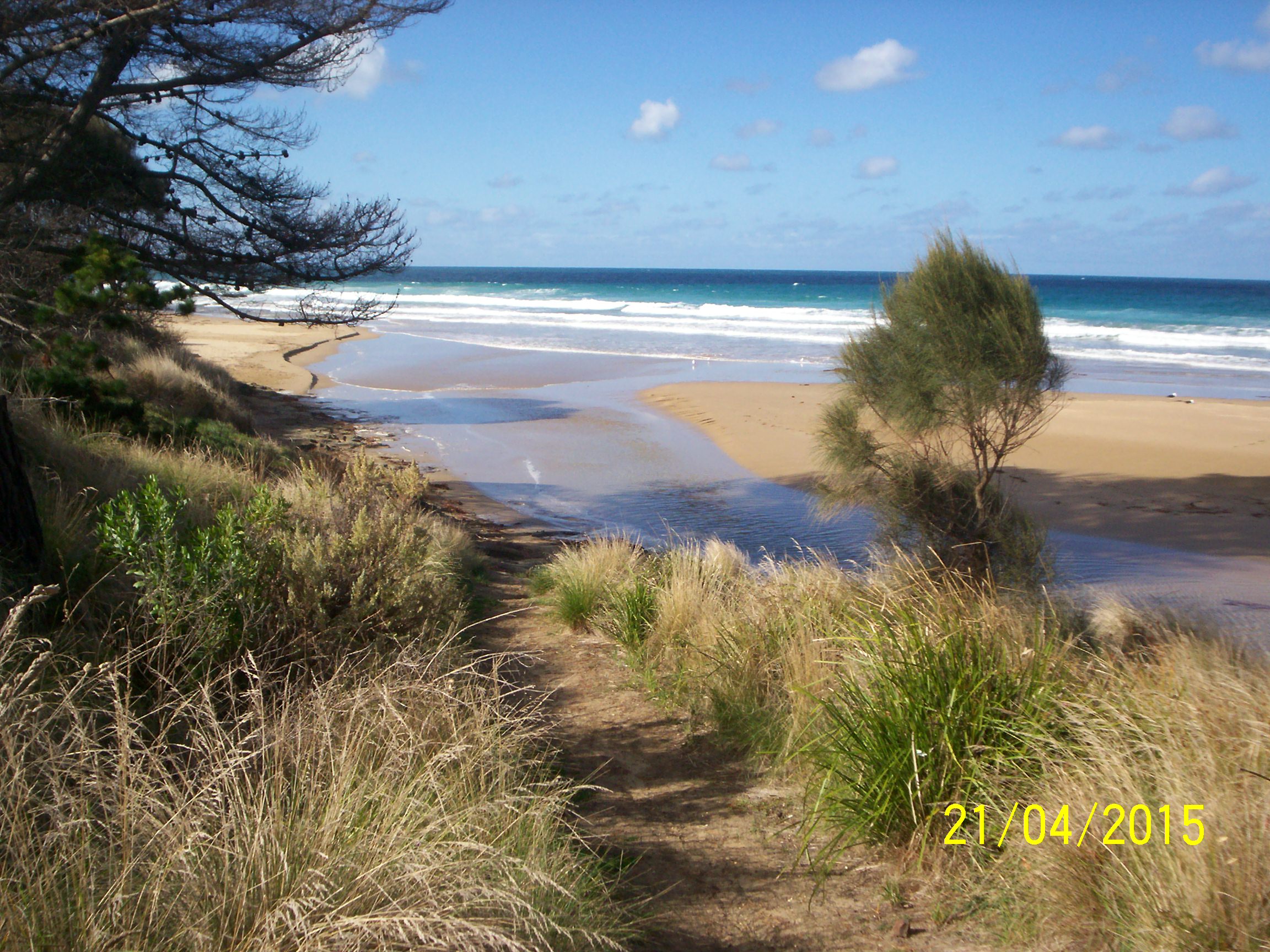
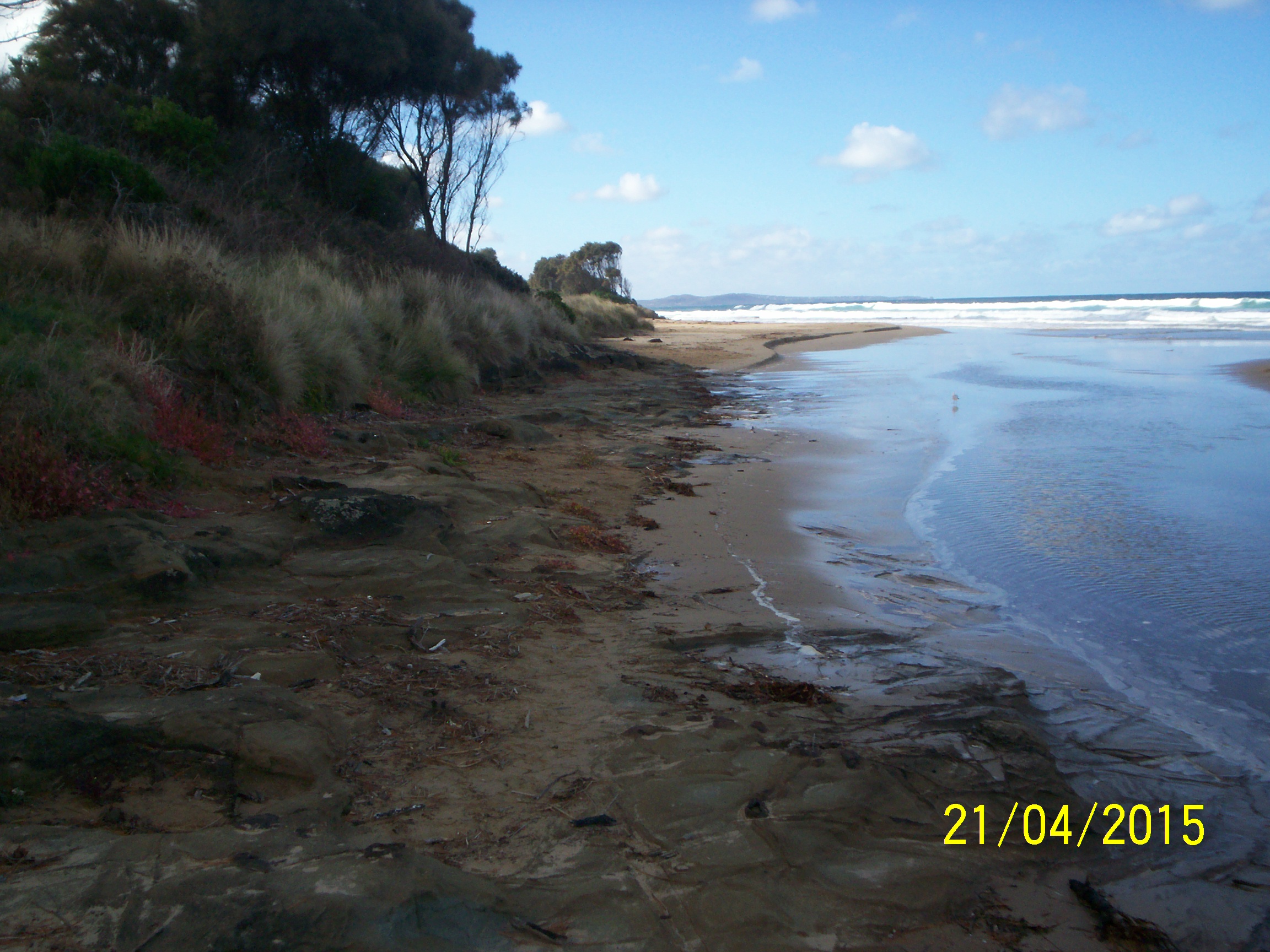
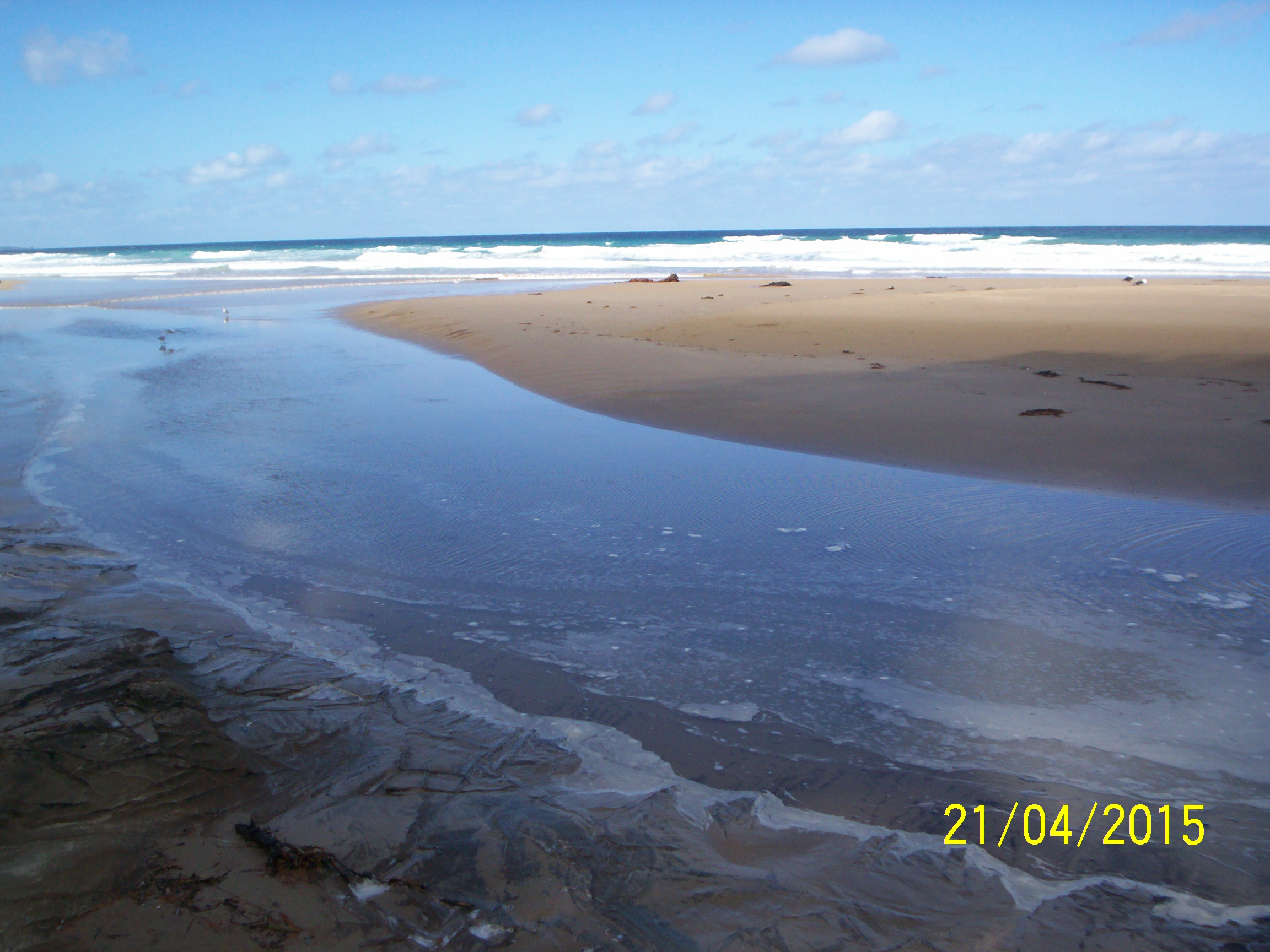
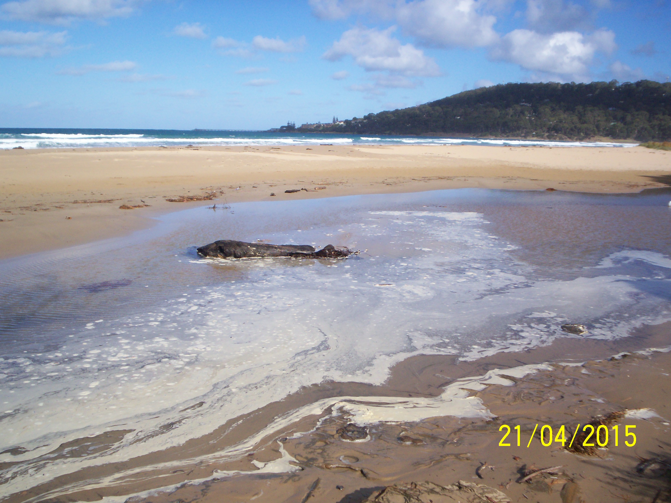
| #9529 | 21 Apr 2015 | Approved | ||
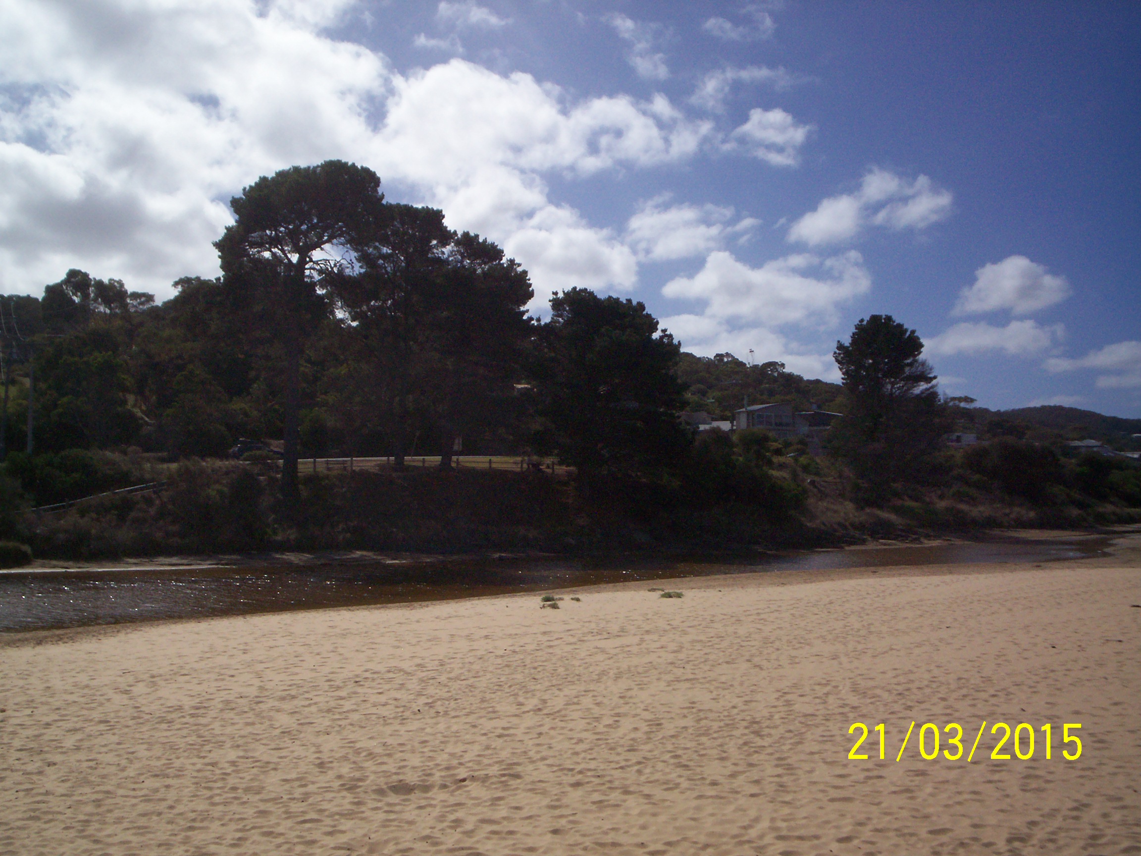
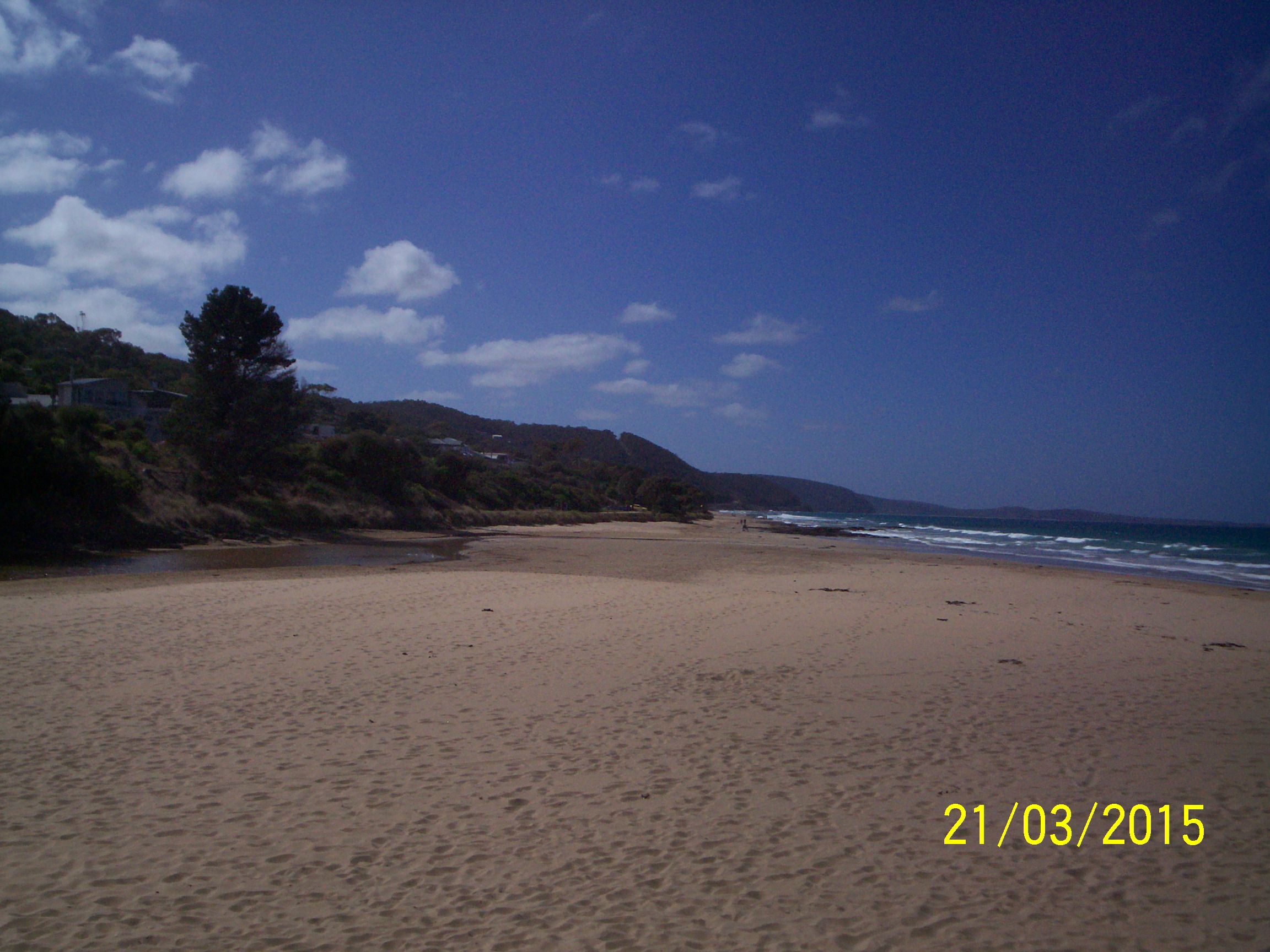
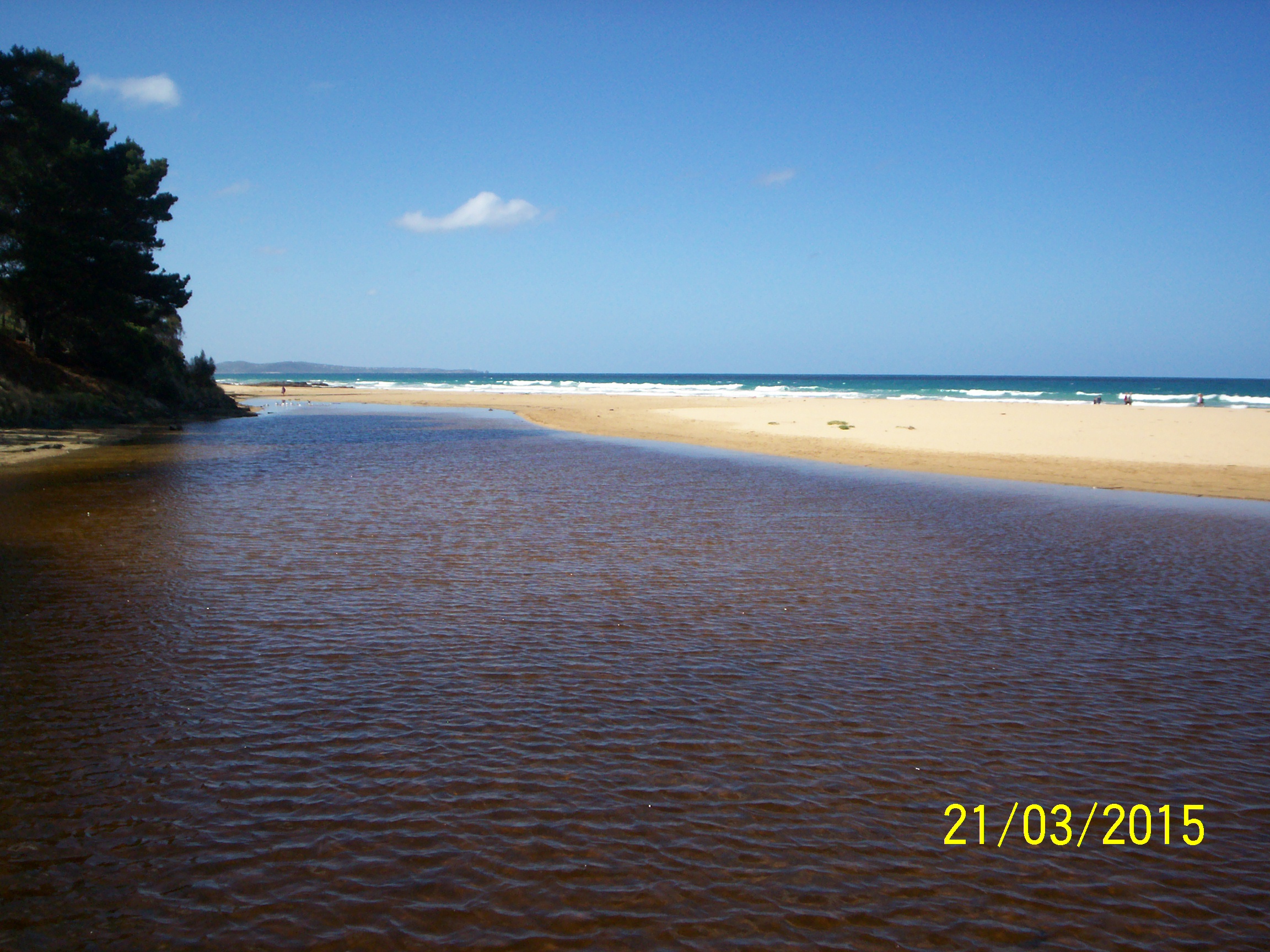
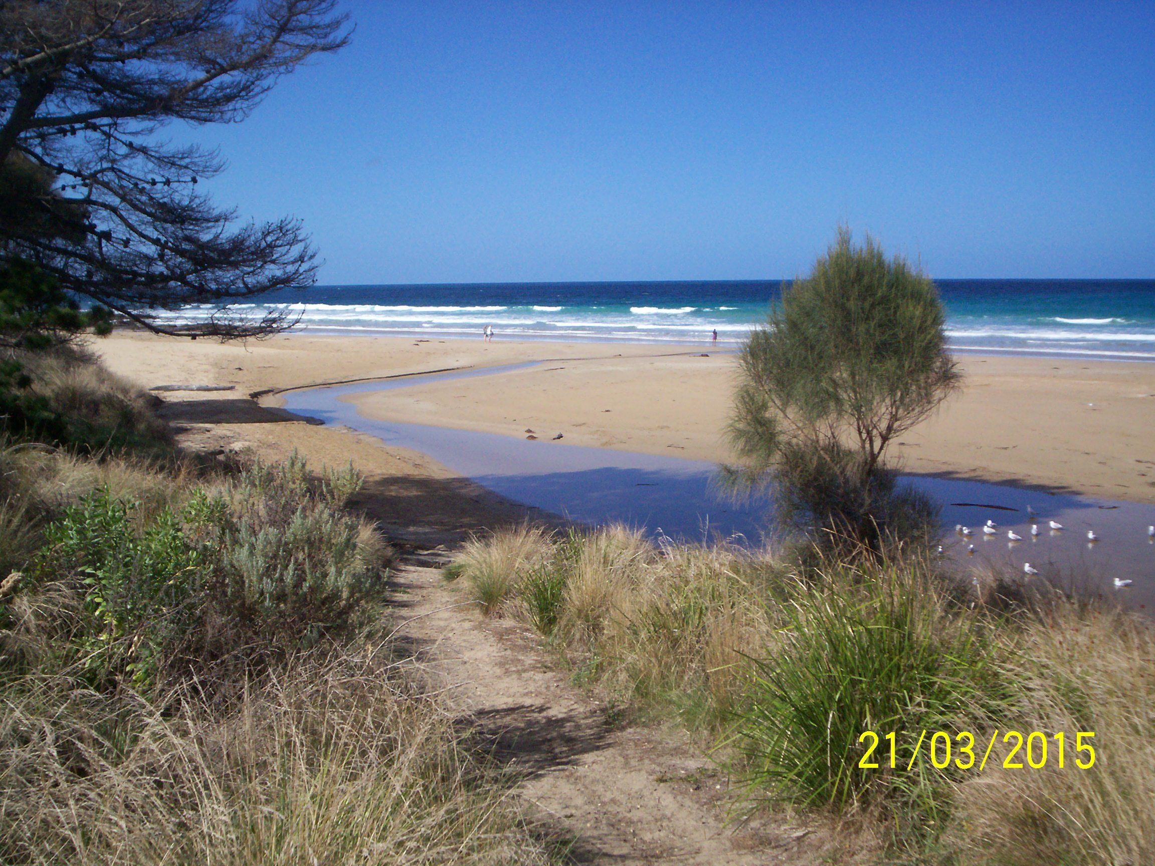
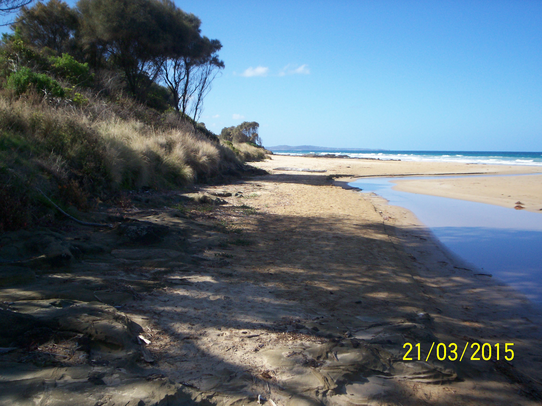
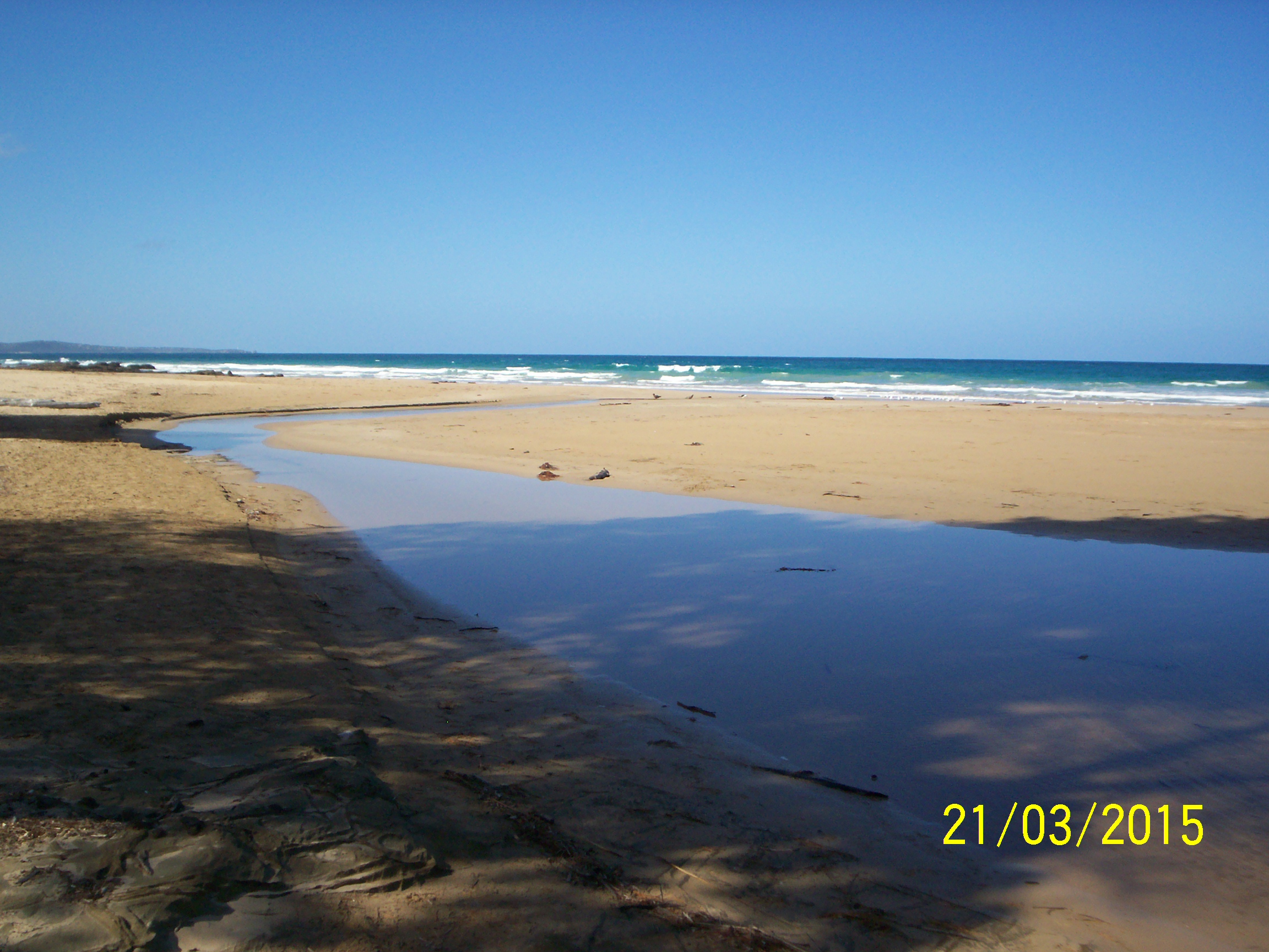
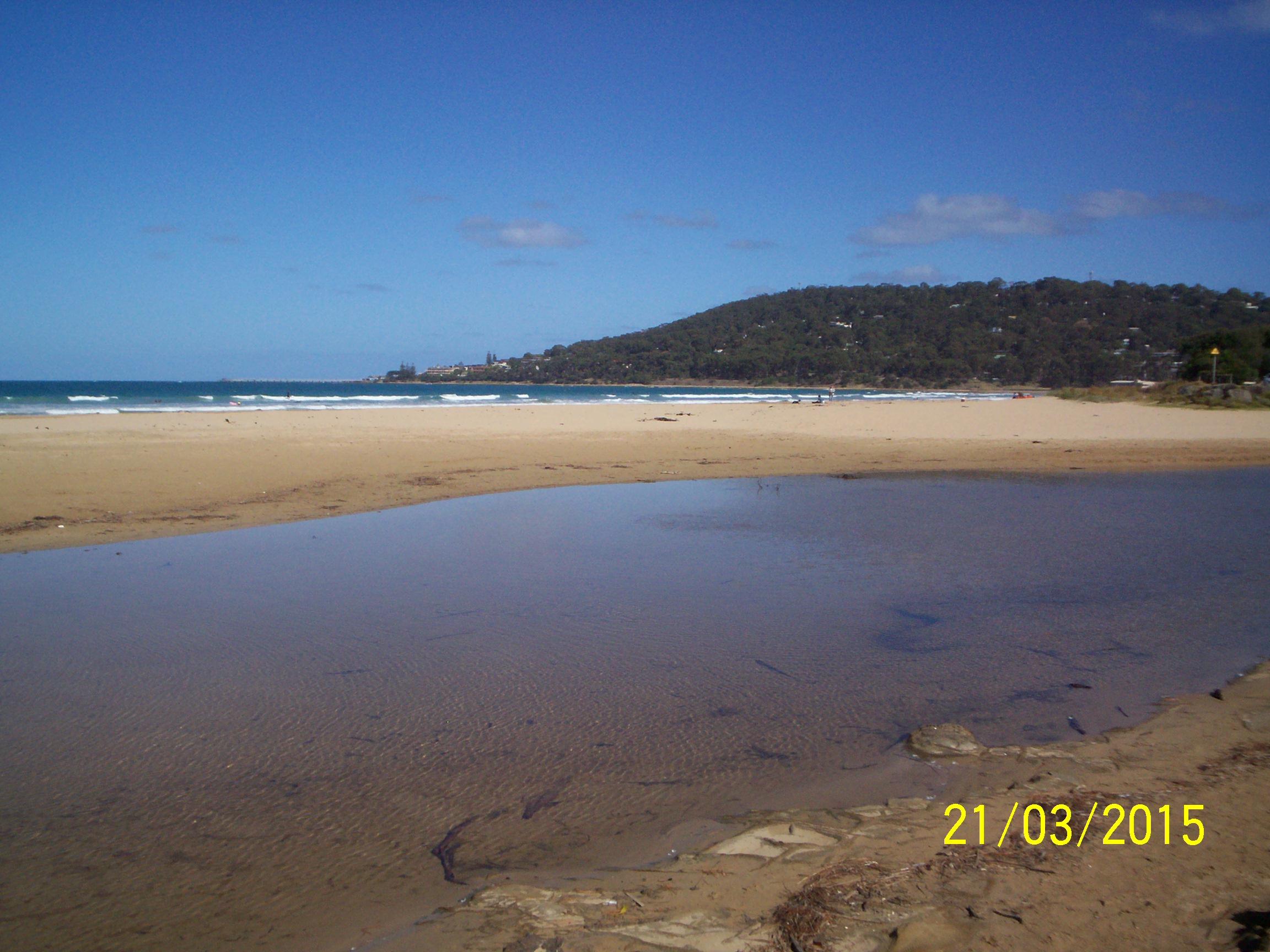
| #9457 | 21 Mar 2015 | Approved | Notes: Rose: Camera time setting wrong by 12 hours. Corrected times above. Ulric | |
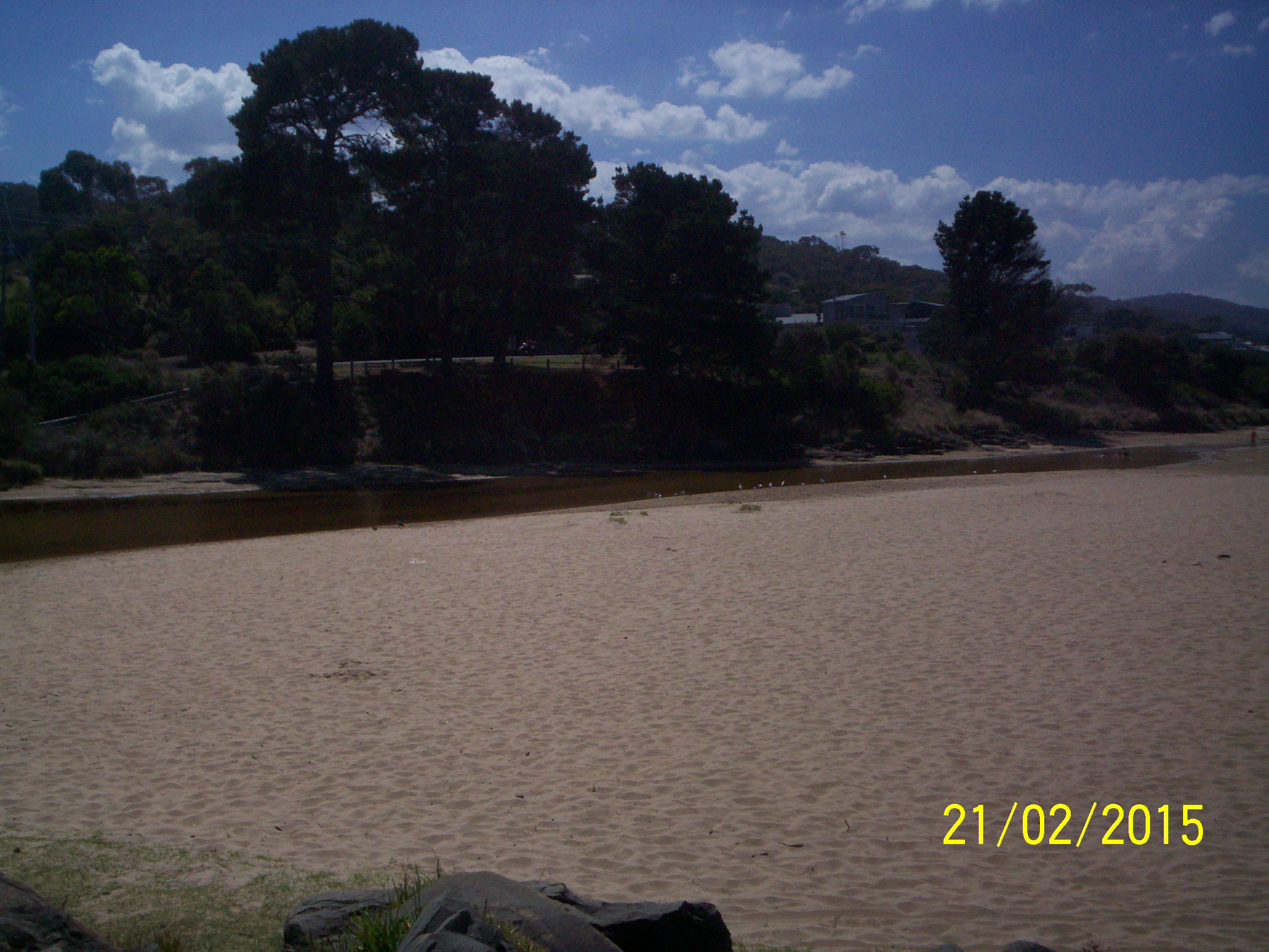
| #9439 | 21 Feb 2015 | Approved | Notes: Flow was very slow; only just moving and very shallow depth. | |
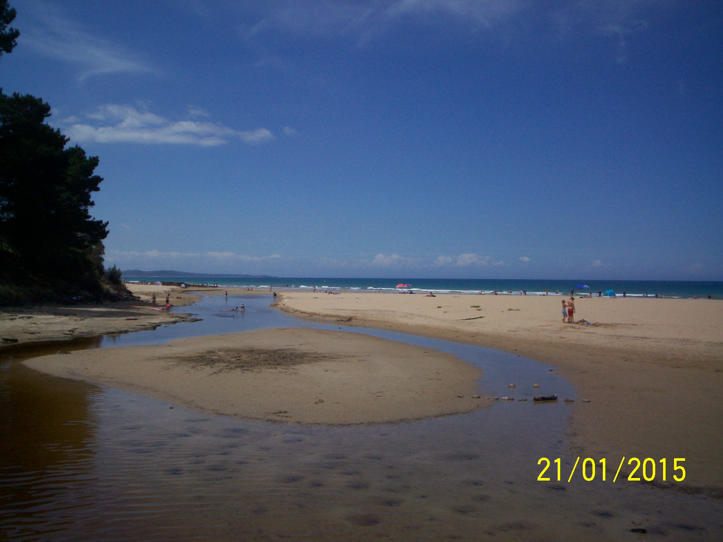
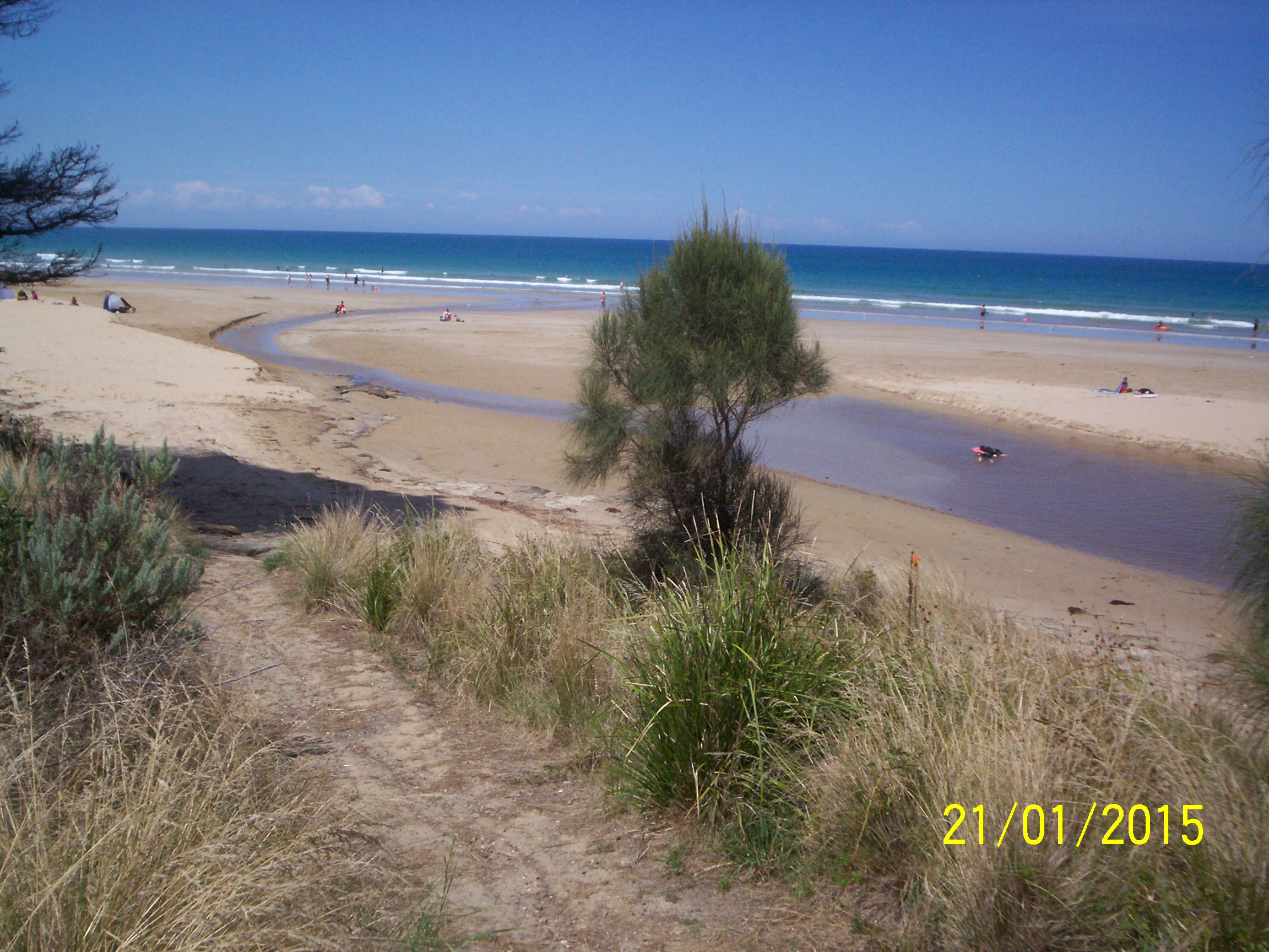
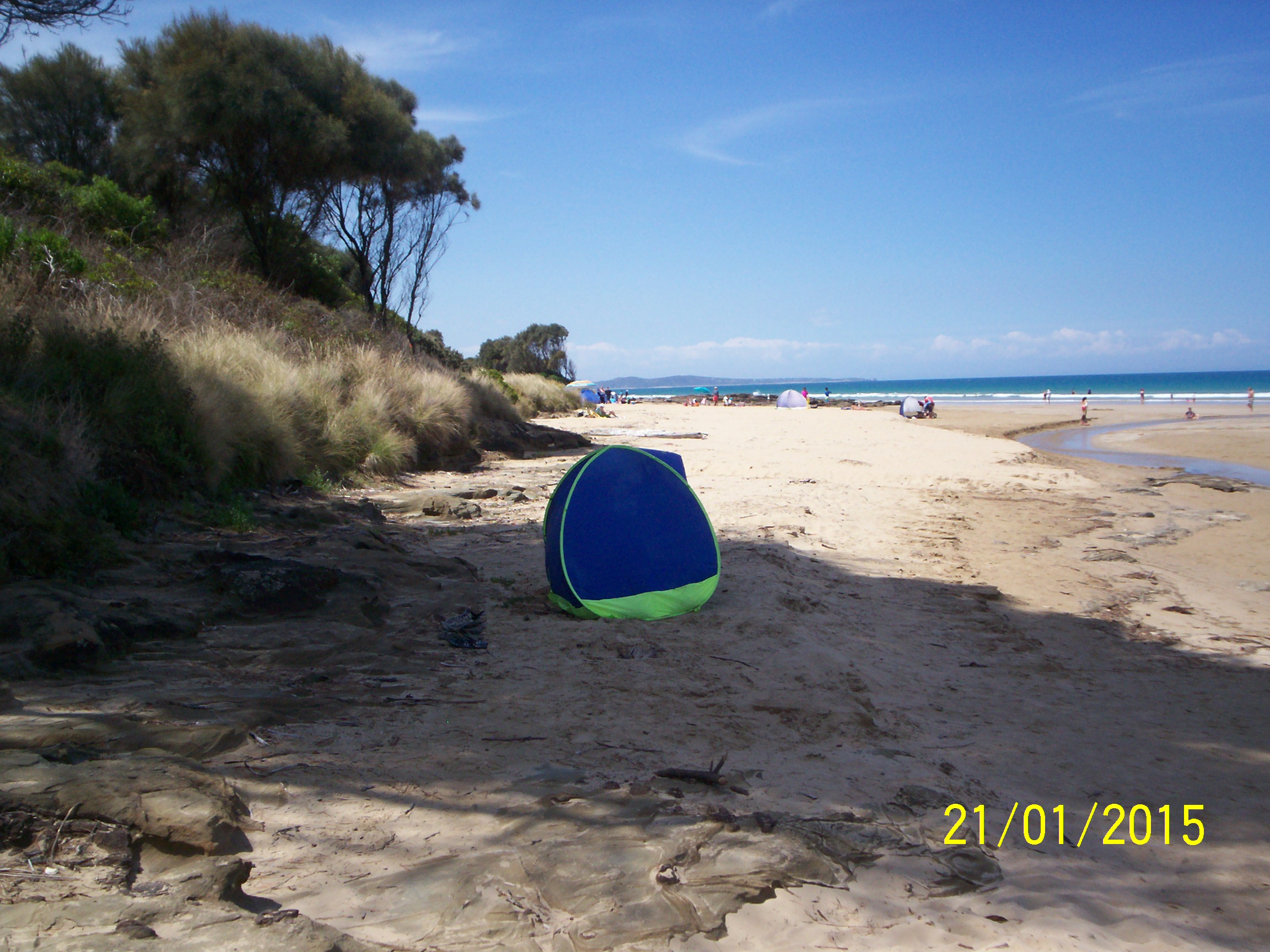
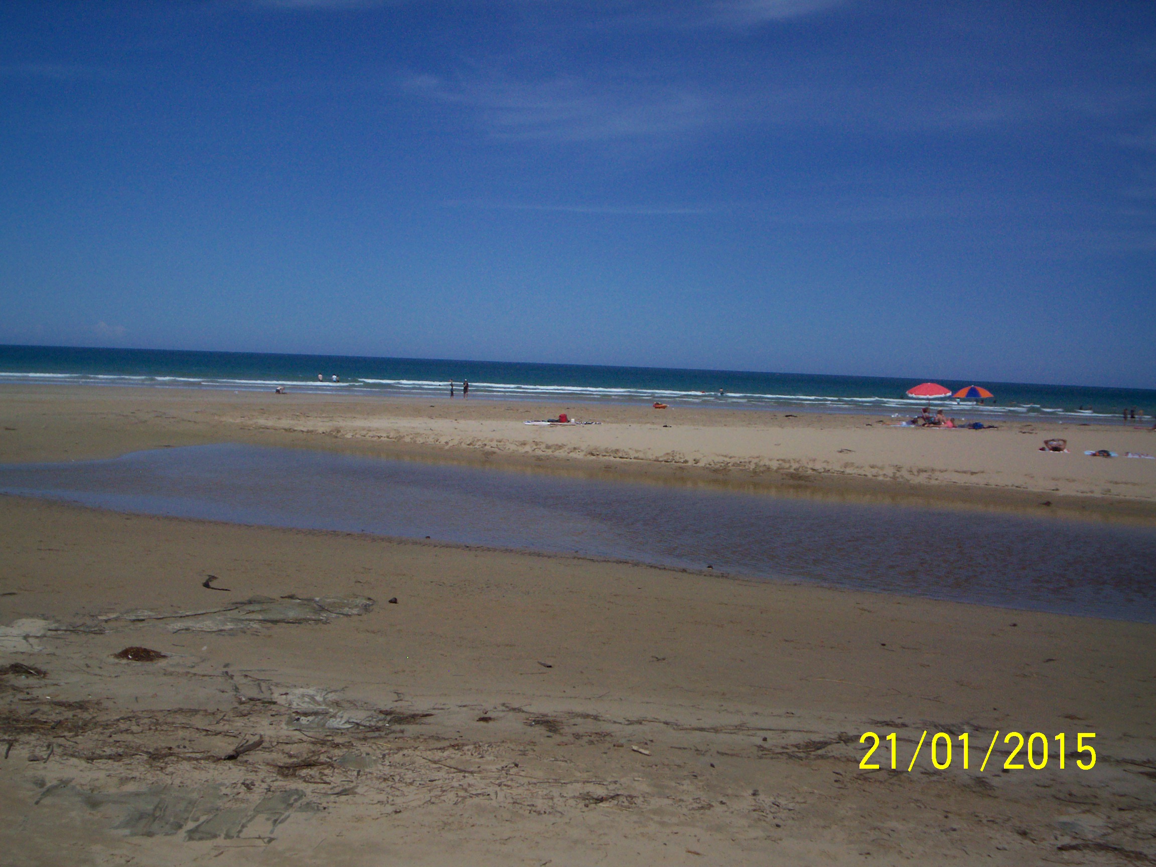
| #9438 | 21 Jan 2015 | Approved | Notes: Depth gauge hard to read as muddy. Readings only approximate. | |
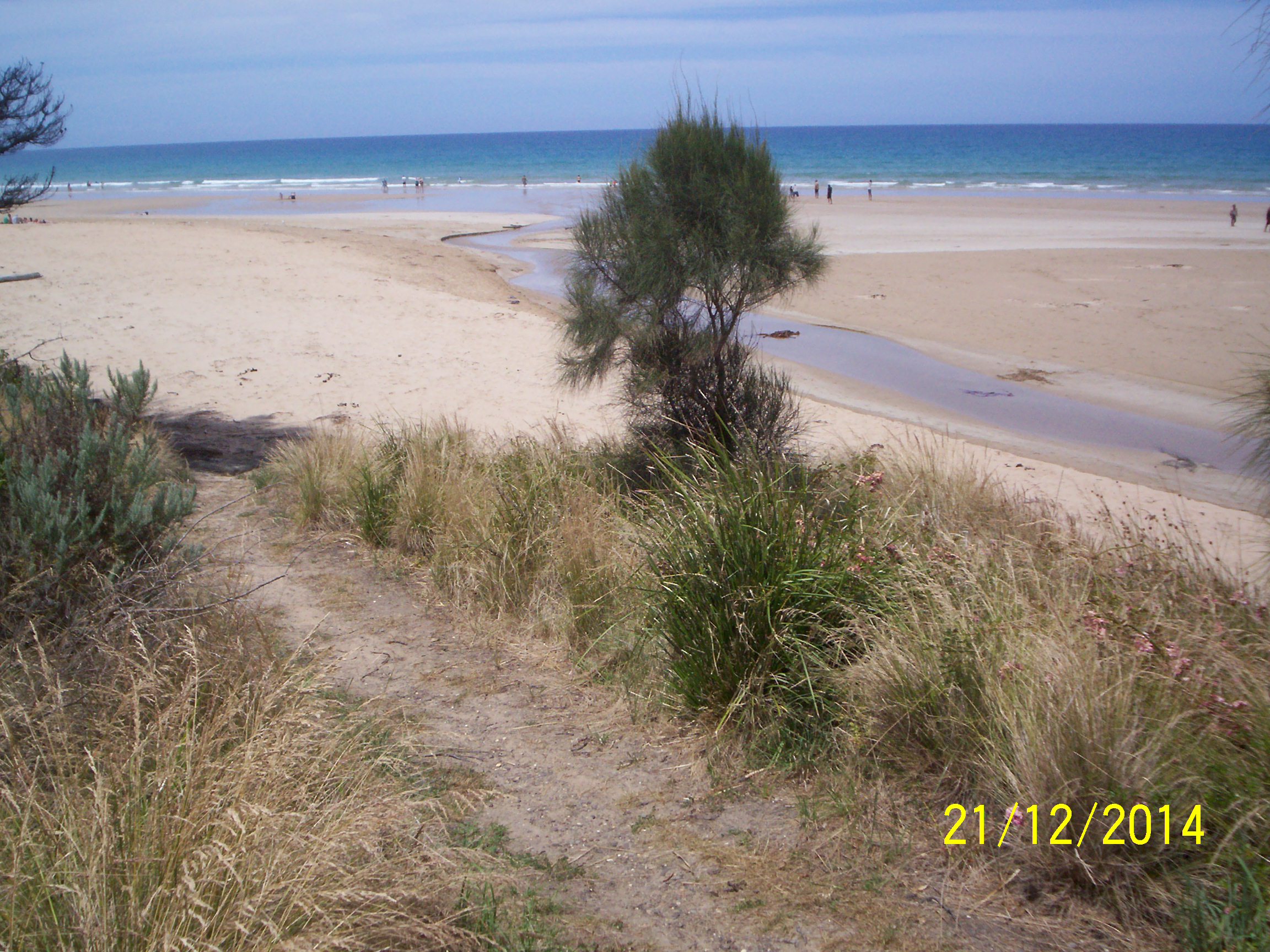
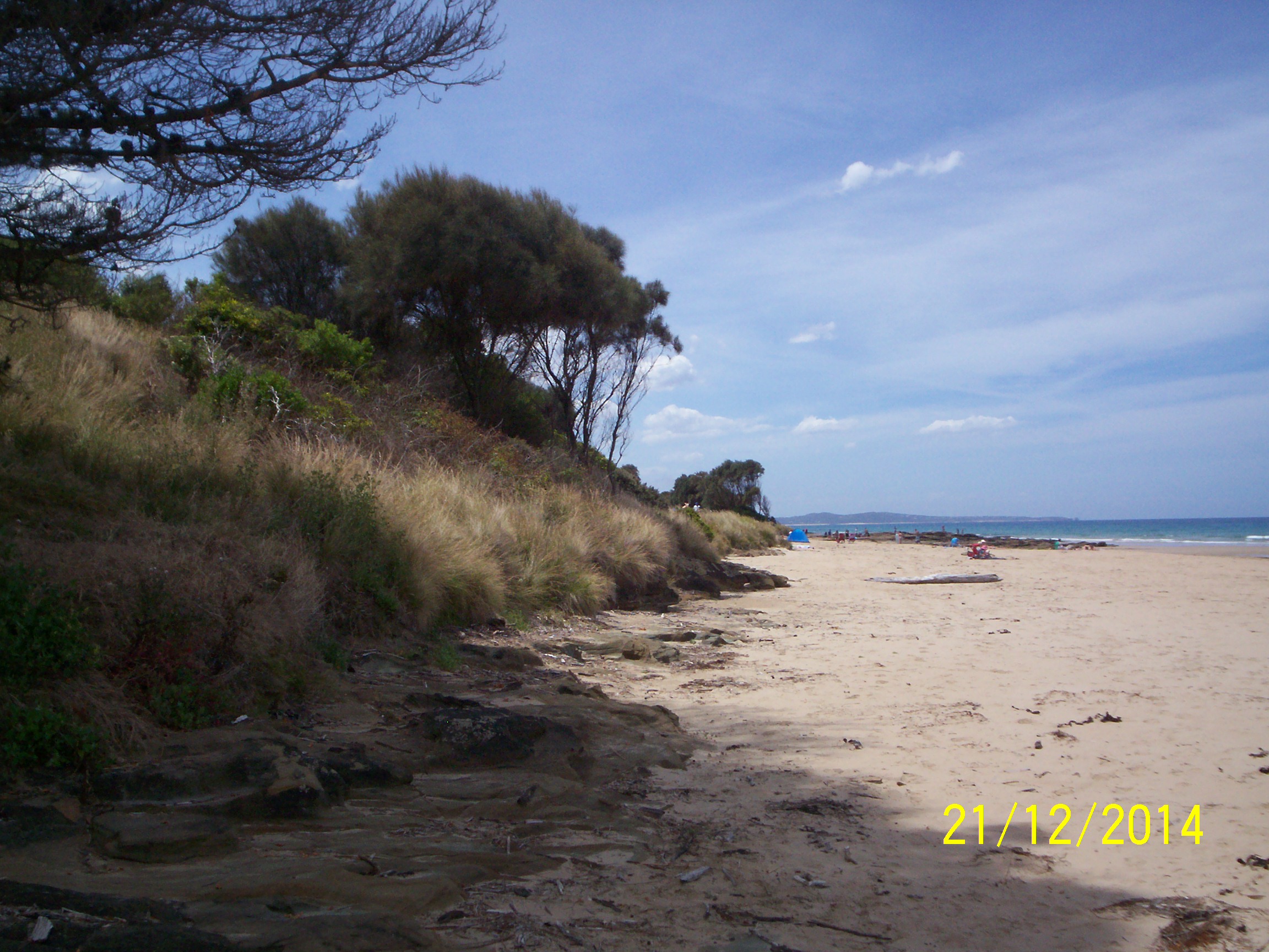
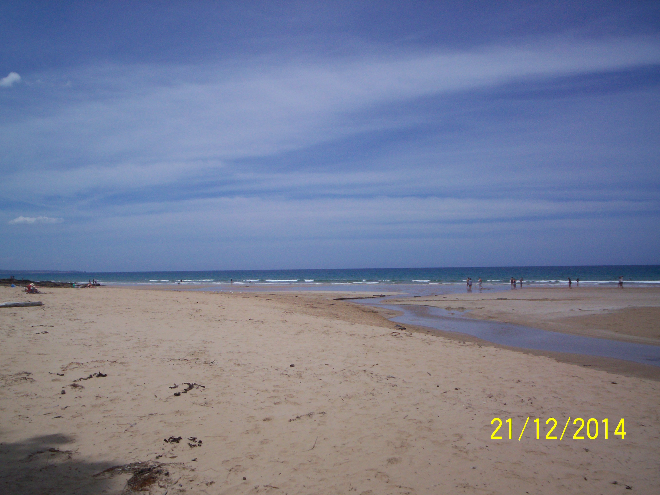
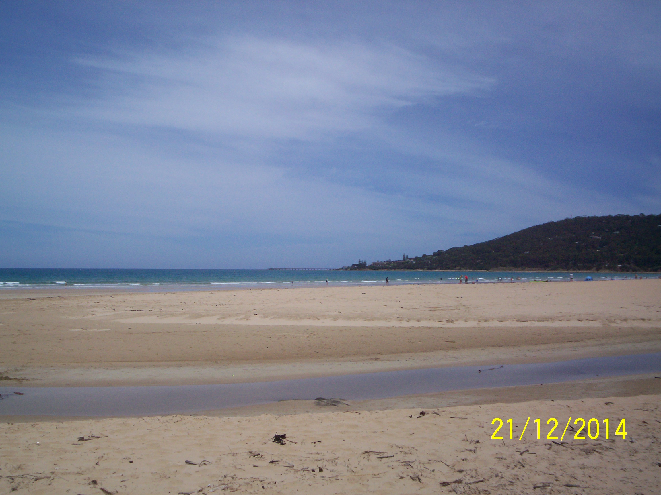
| #9437 | 21 Dec 2014 | Approved | ||
| #9254 | 21 Nov 2014 | Approved | Notes: Rain on 20th had undercut North sand by 50cm. | |
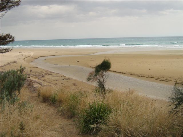
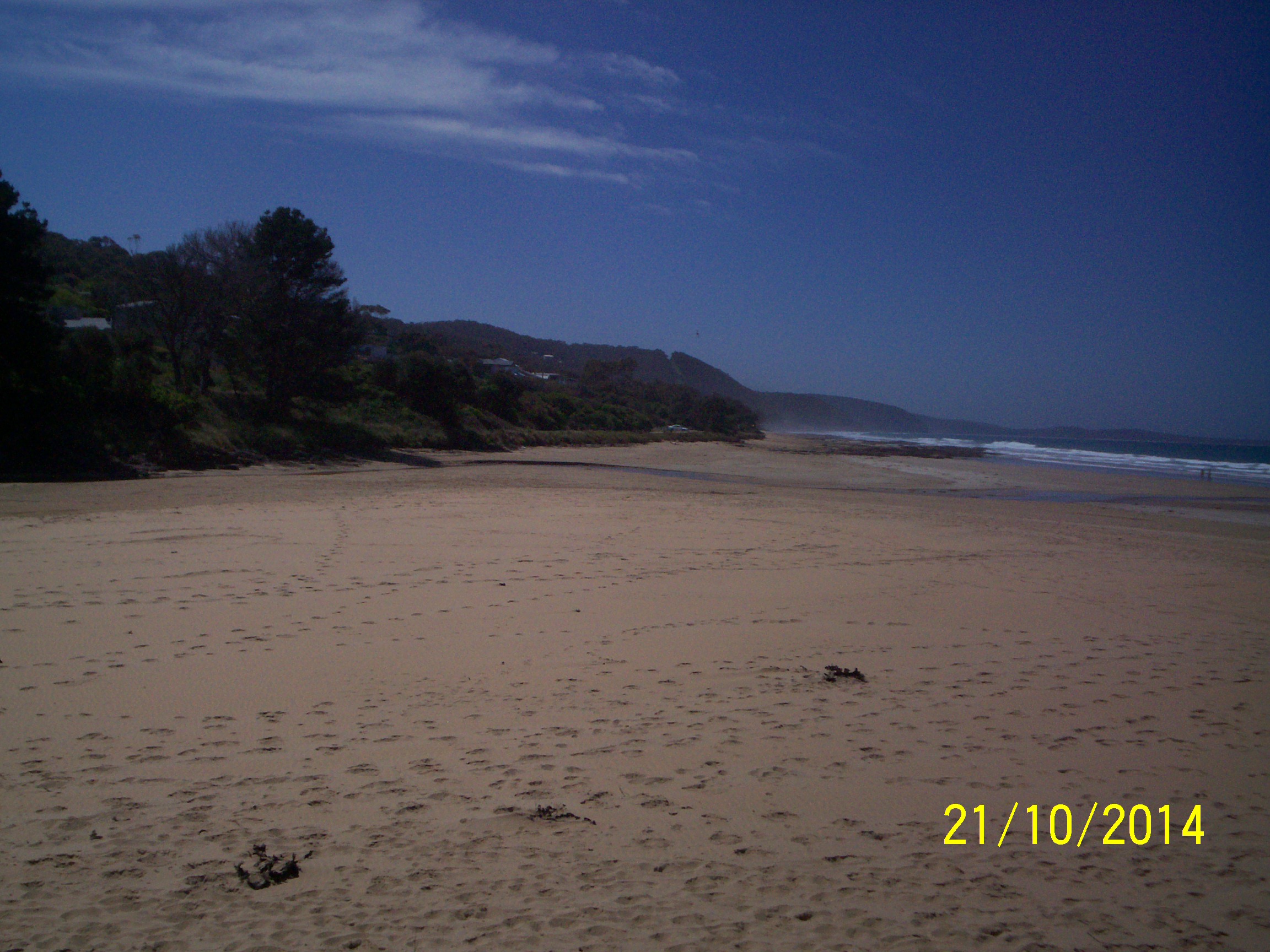
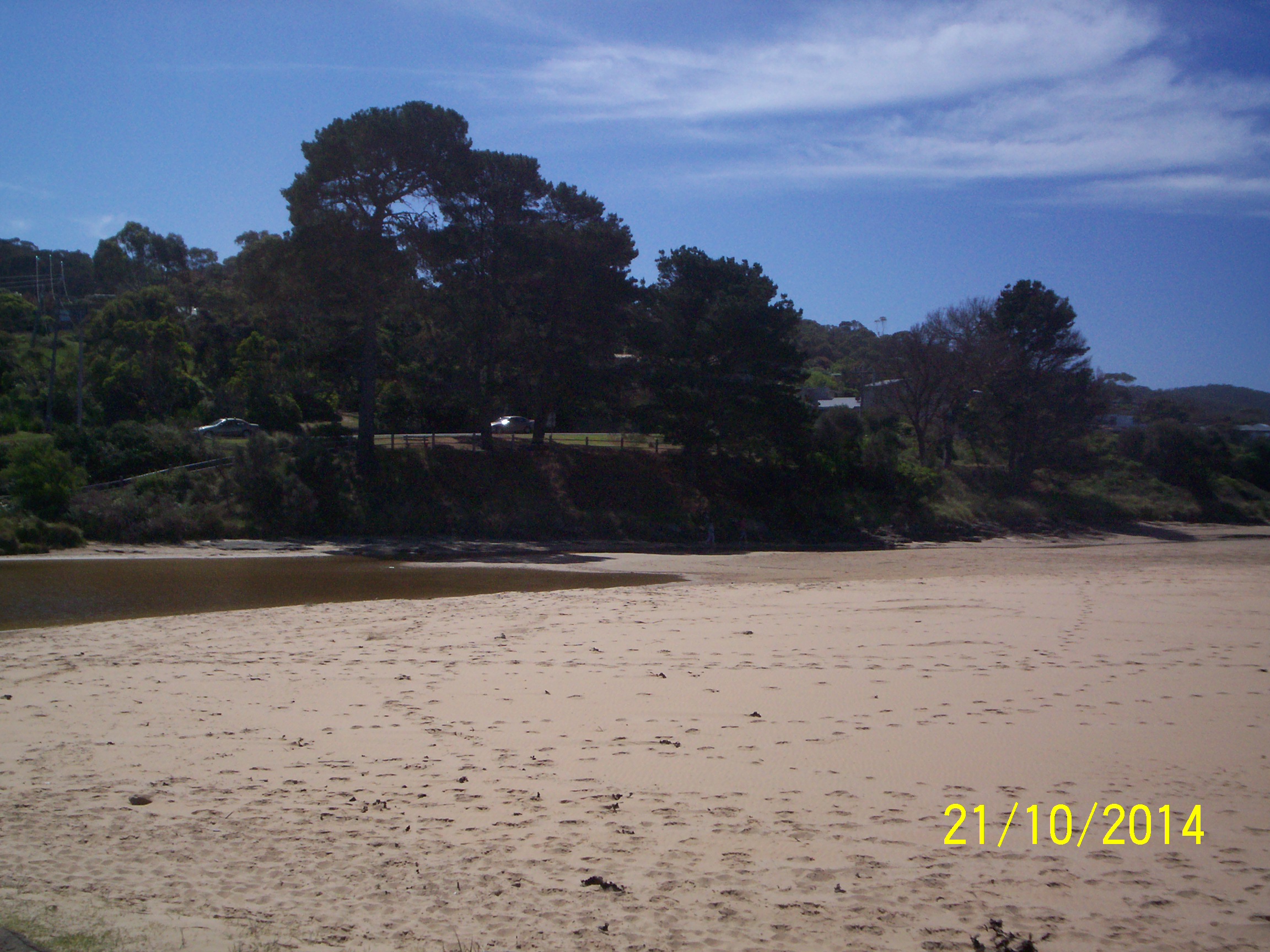
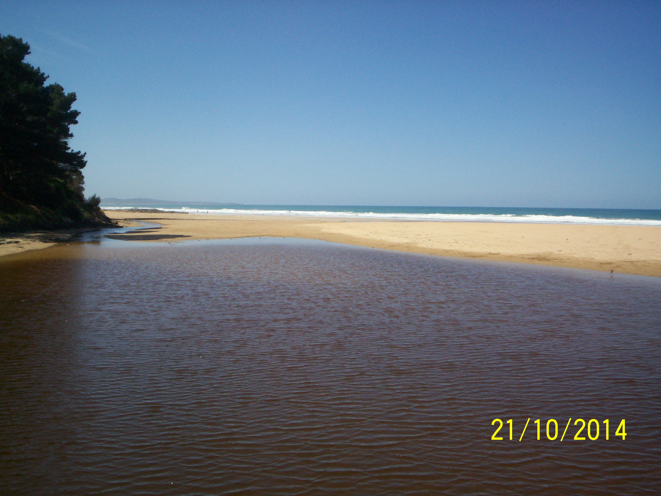
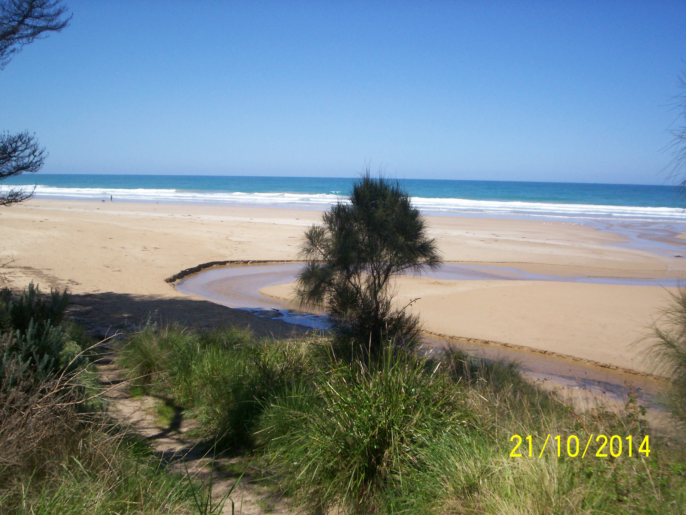
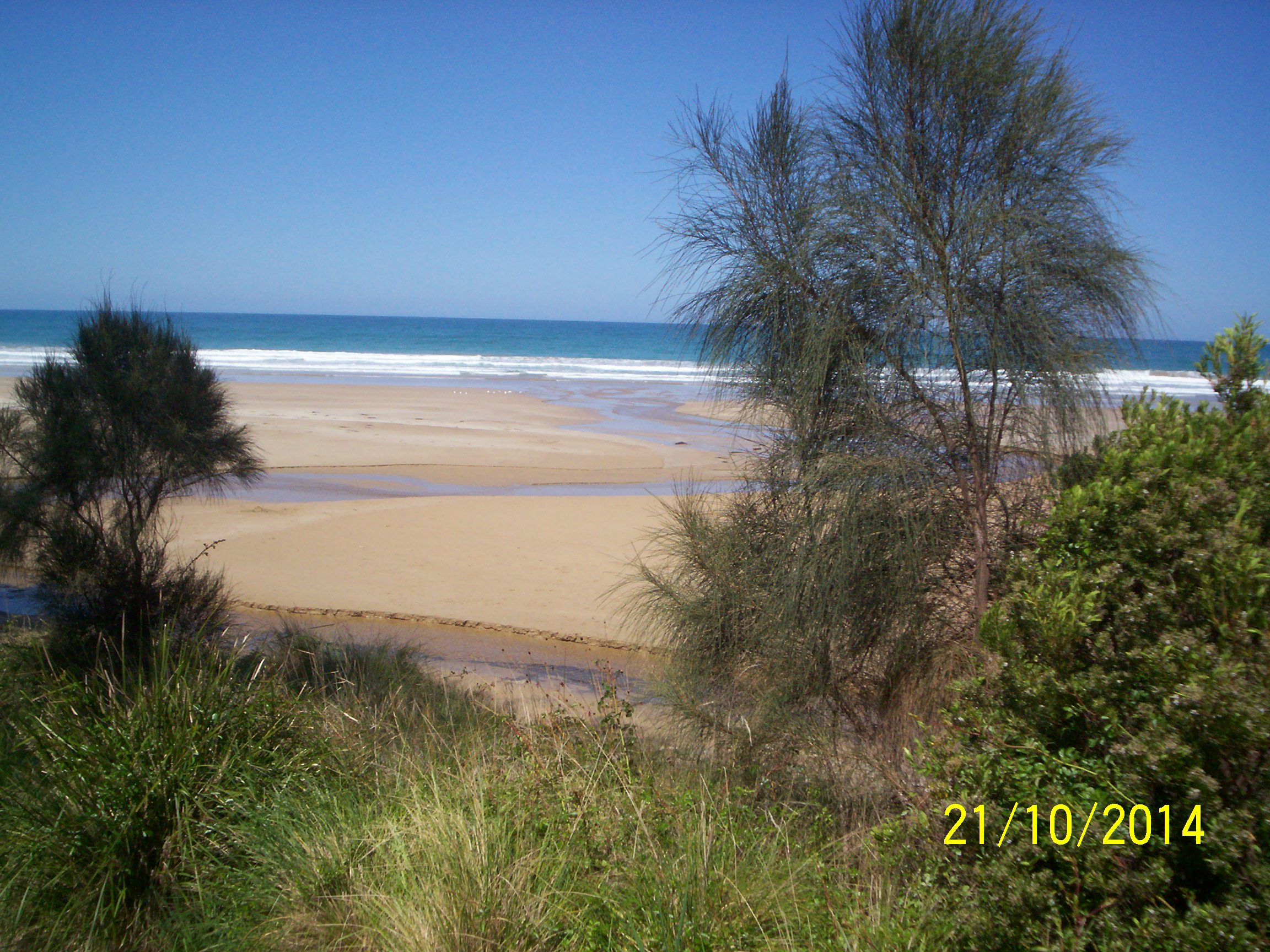
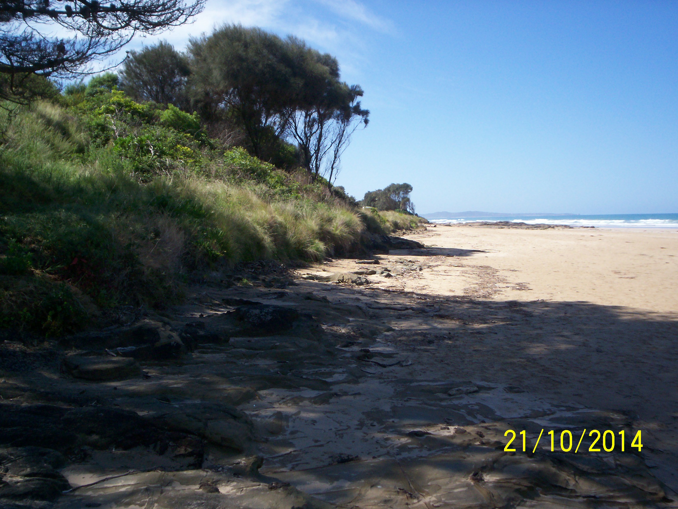
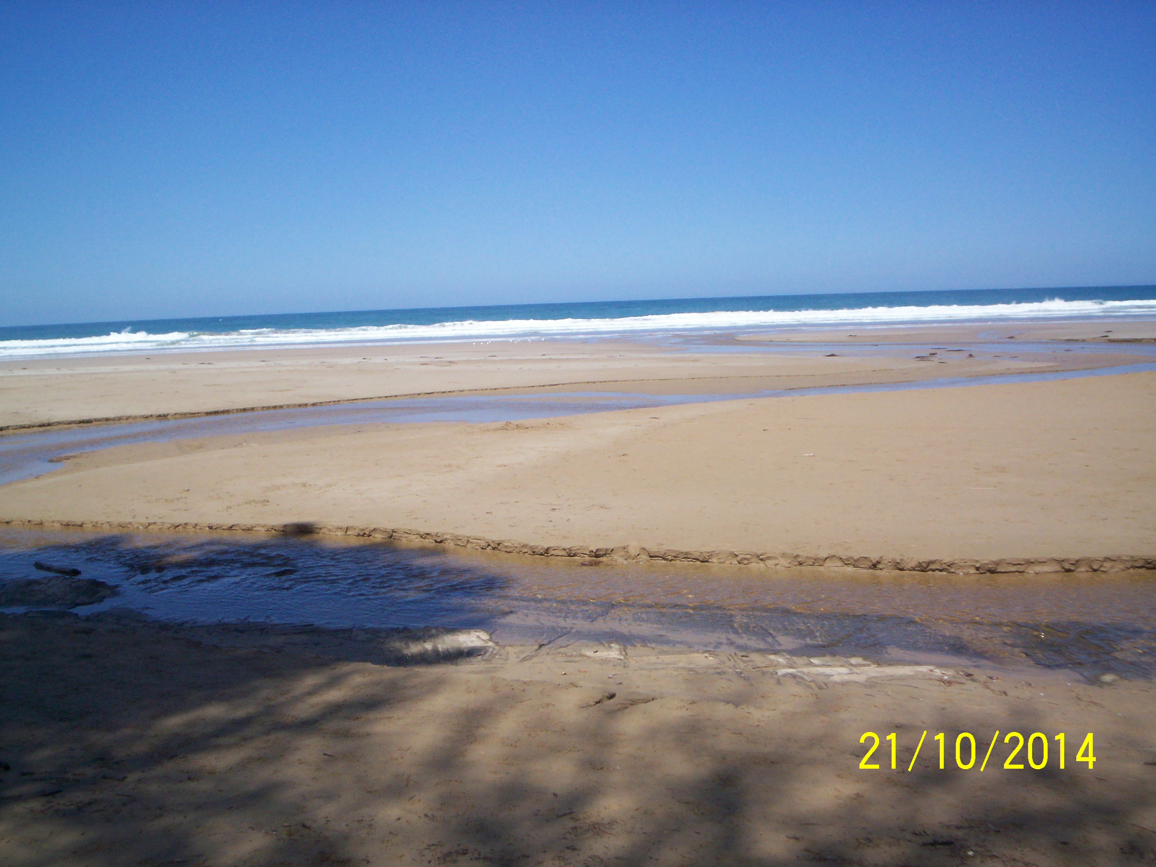
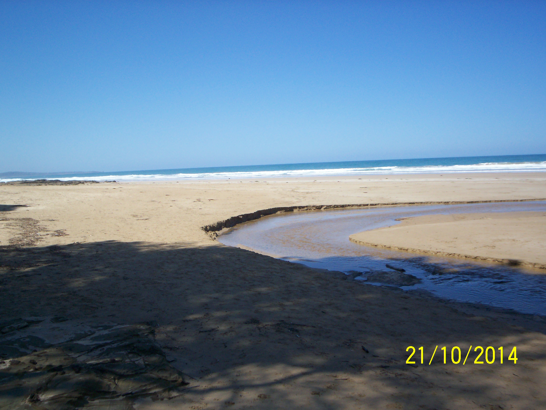
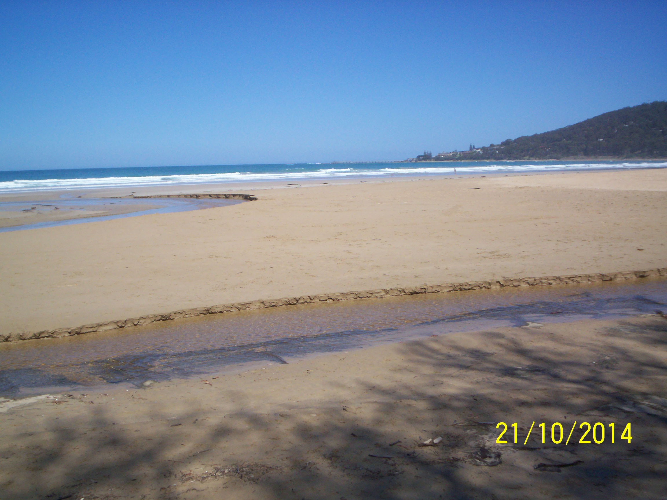
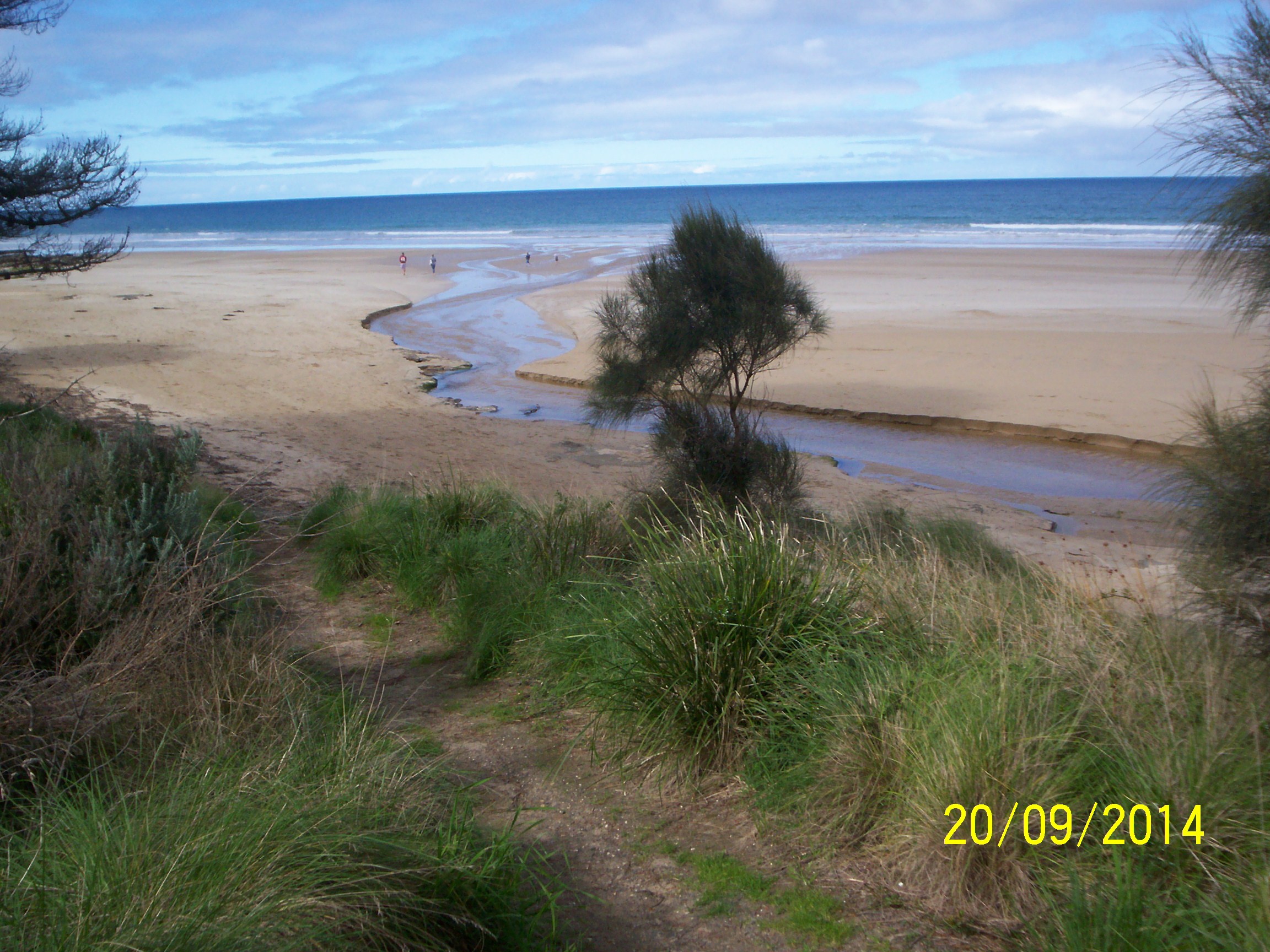
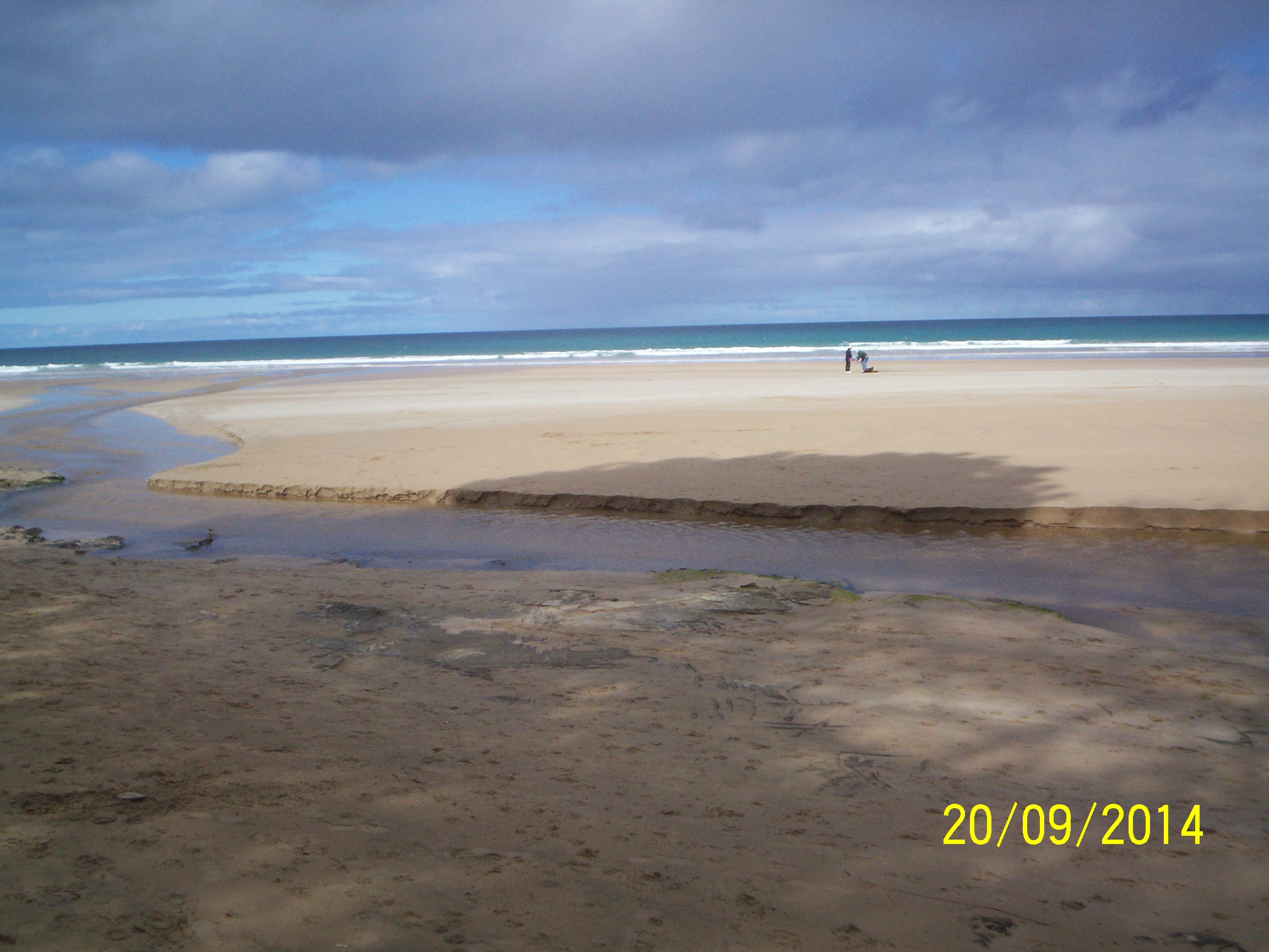
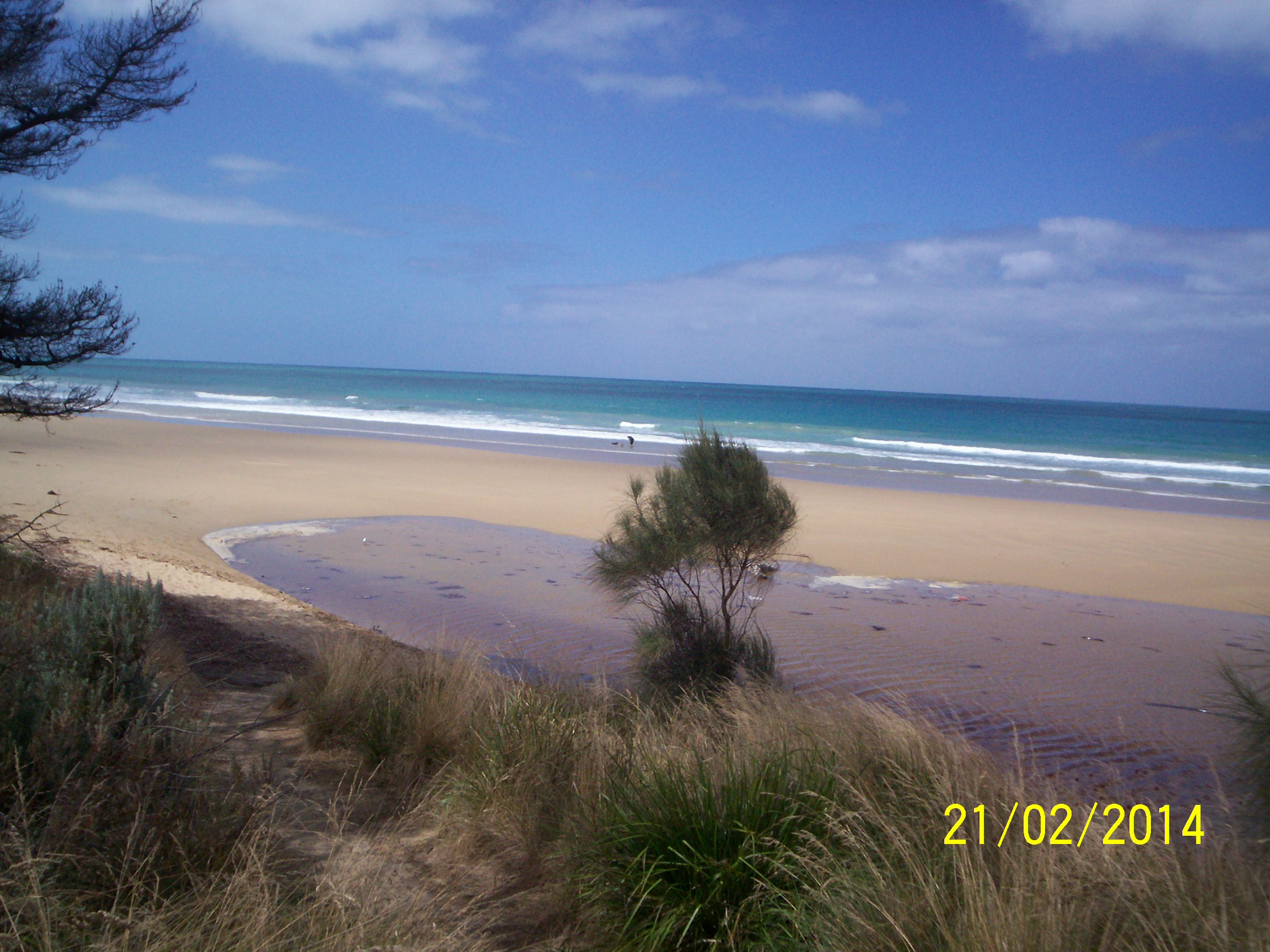
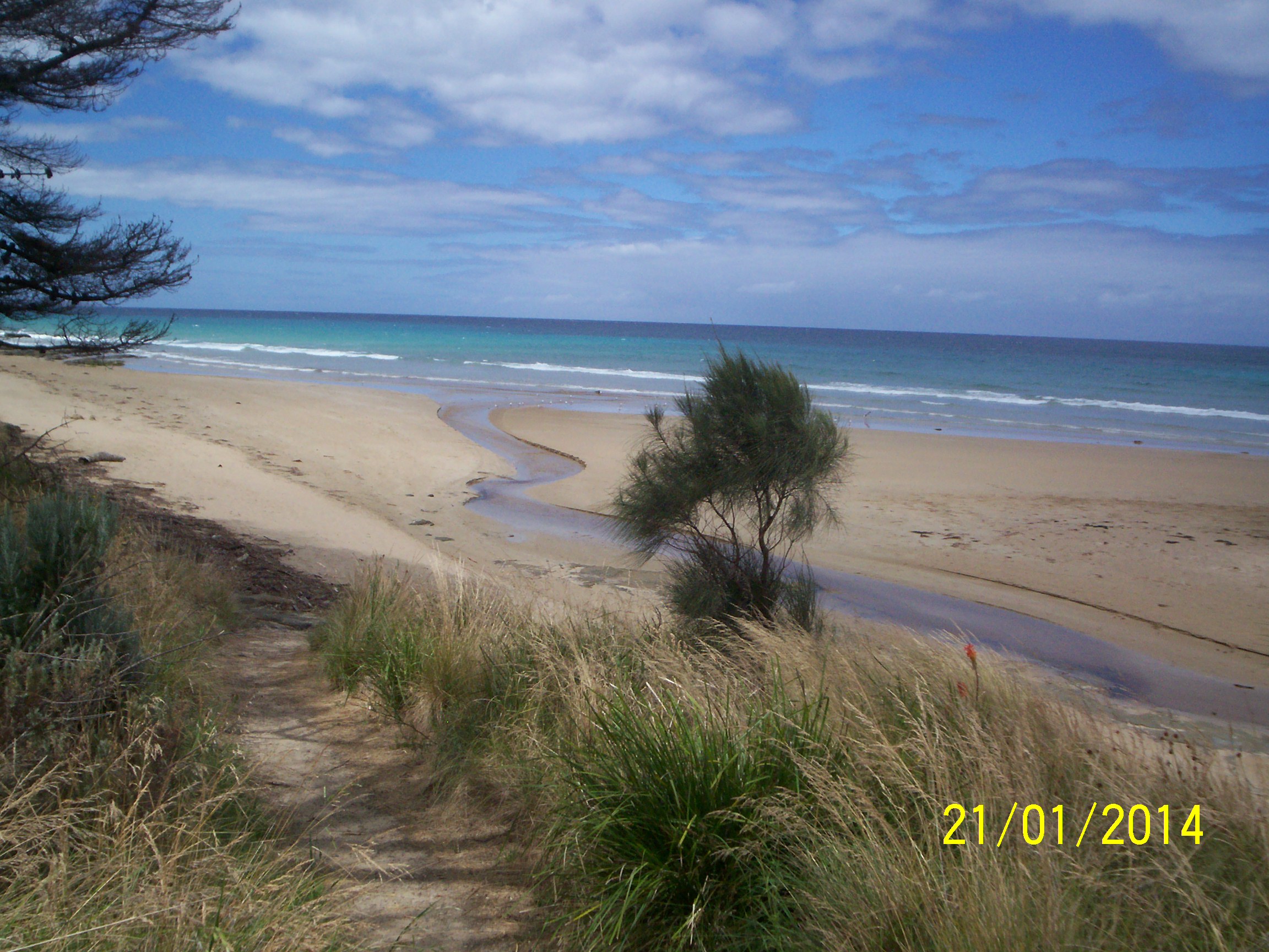
| #9253 | 21 Oct 2014 | Approved | Notes: Photos EP3 & EP4 show S shape of river to sea. | |
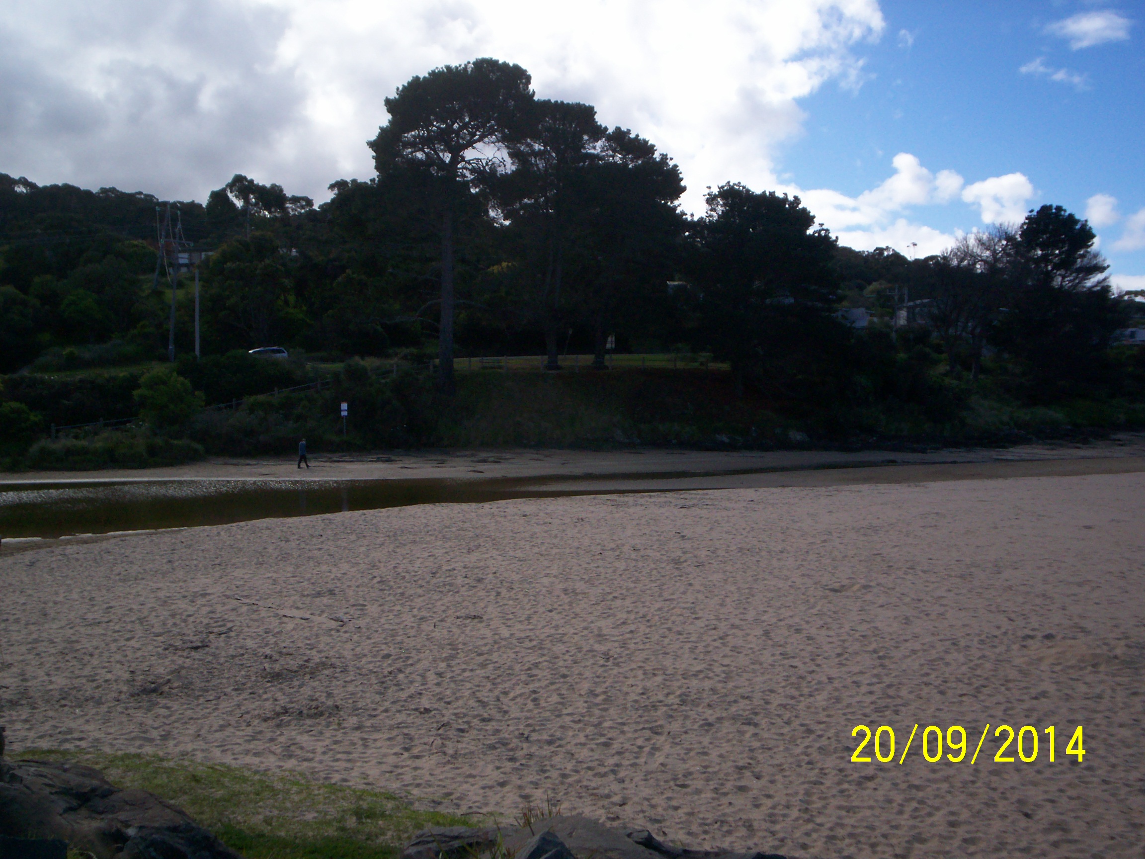
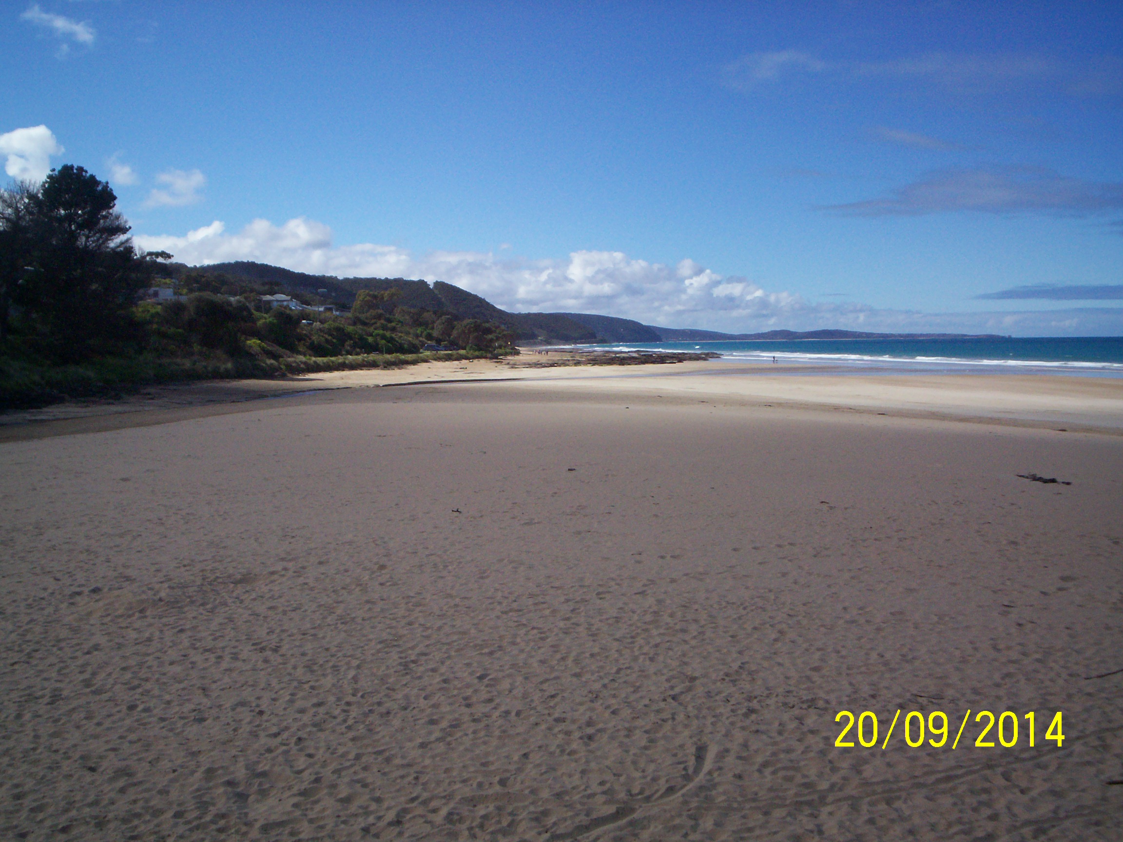
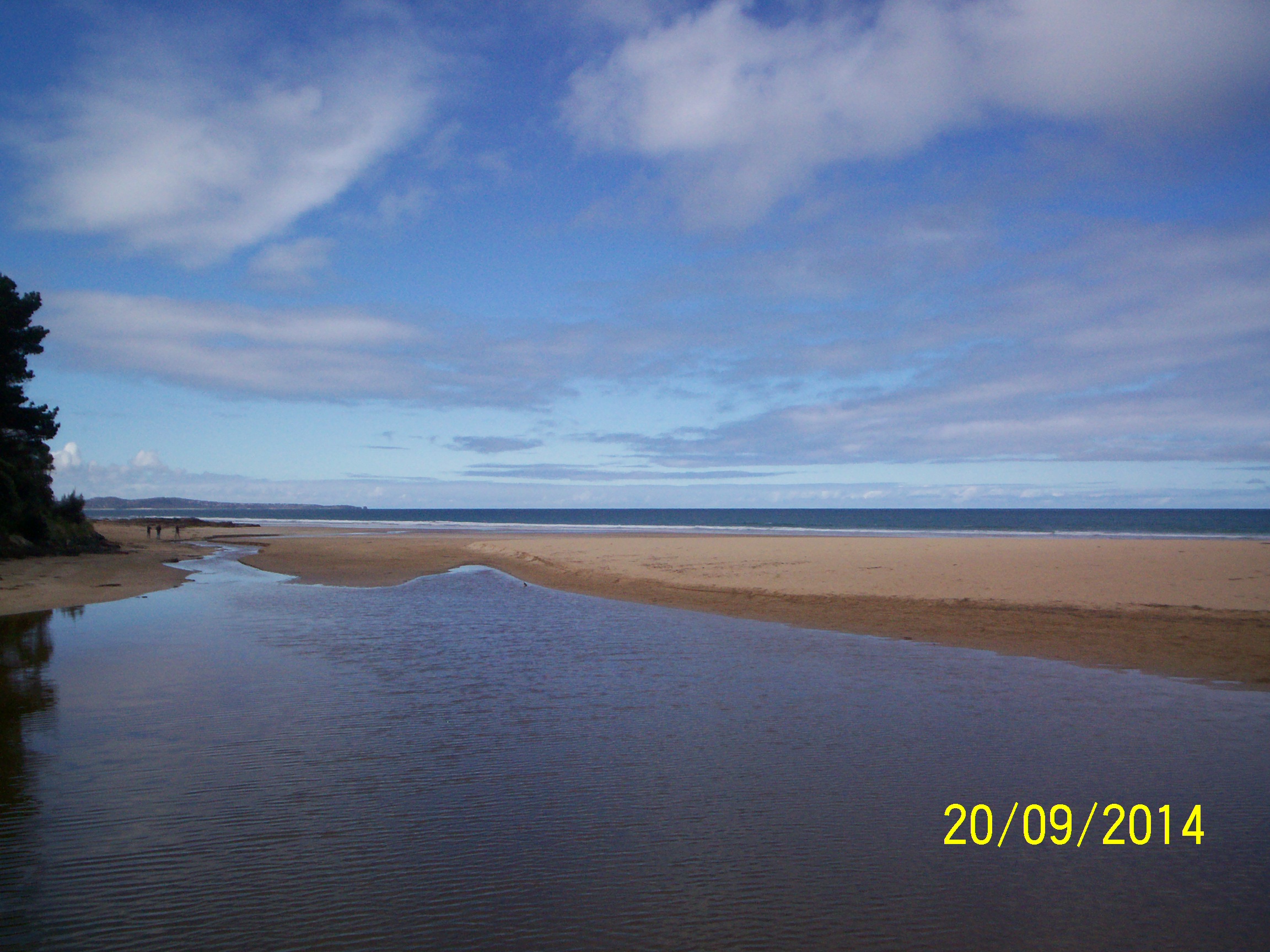
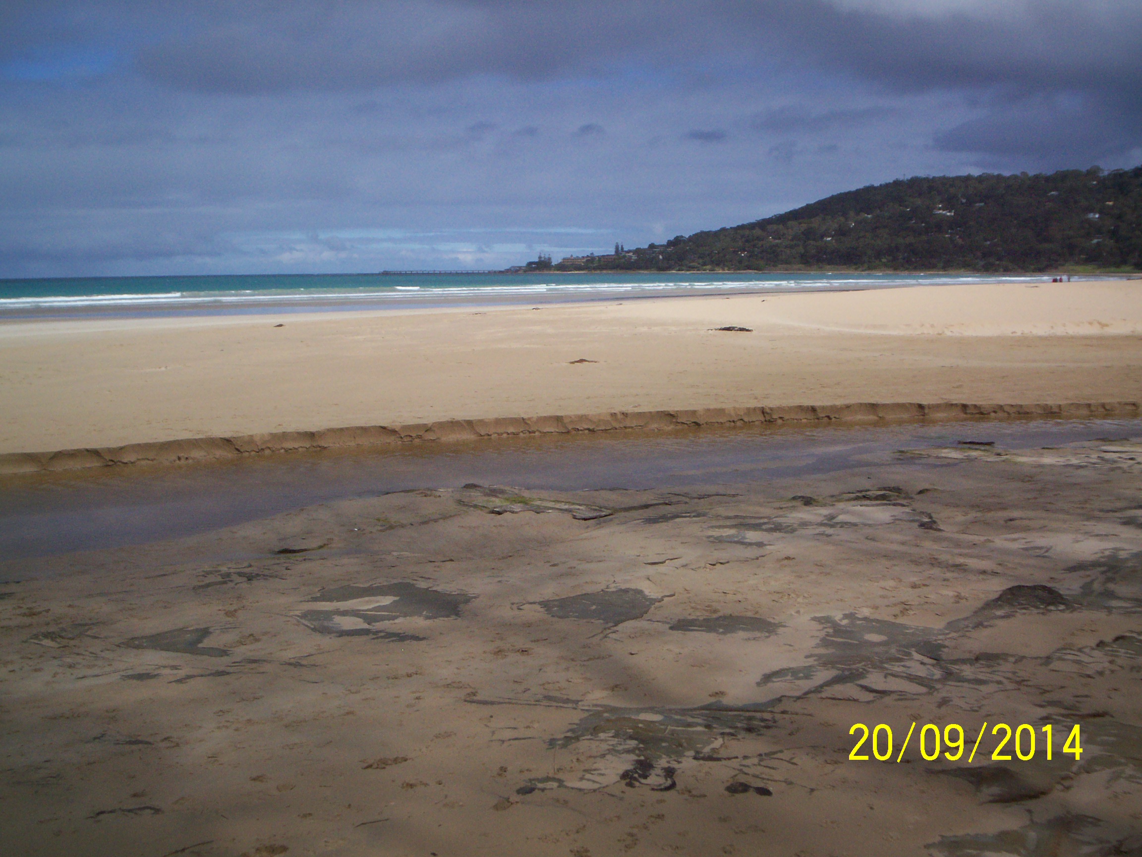
| #9124 | 20 Sep 2014 | Approved | ||
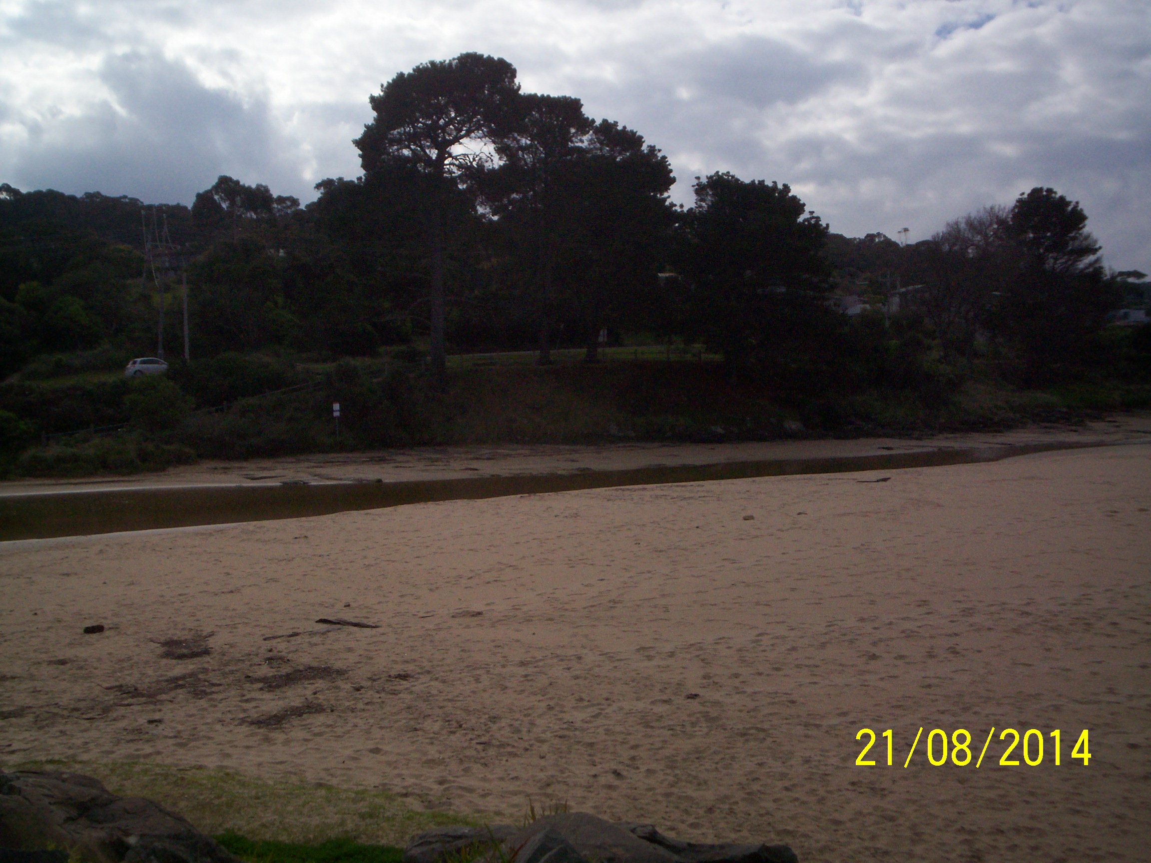
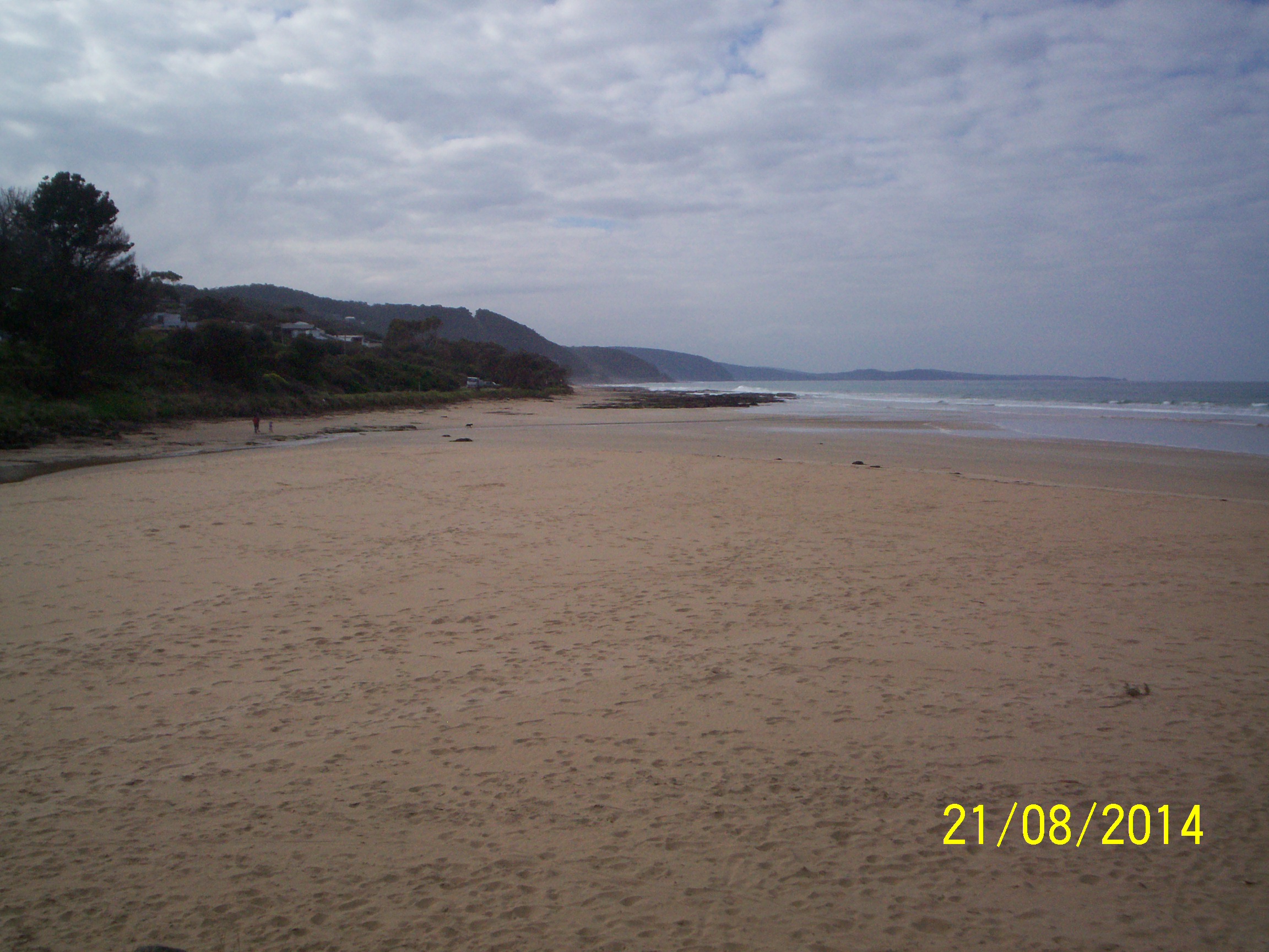
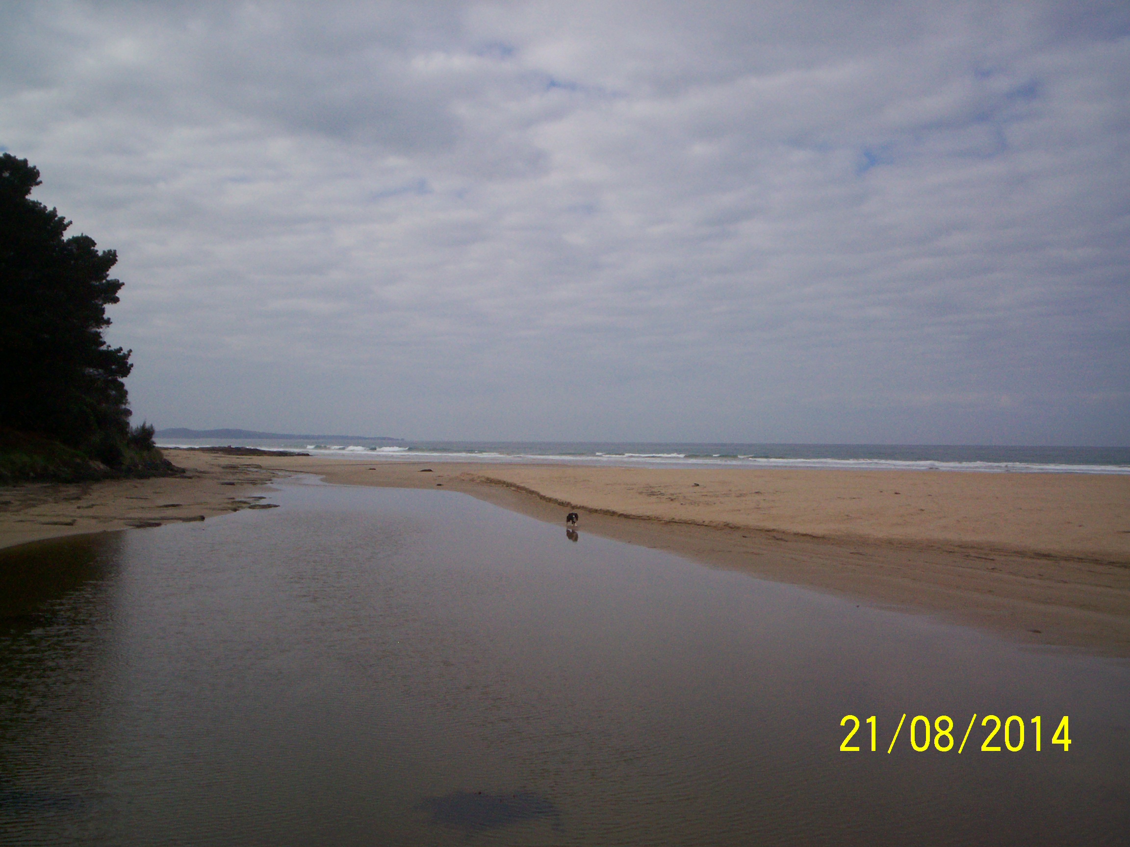
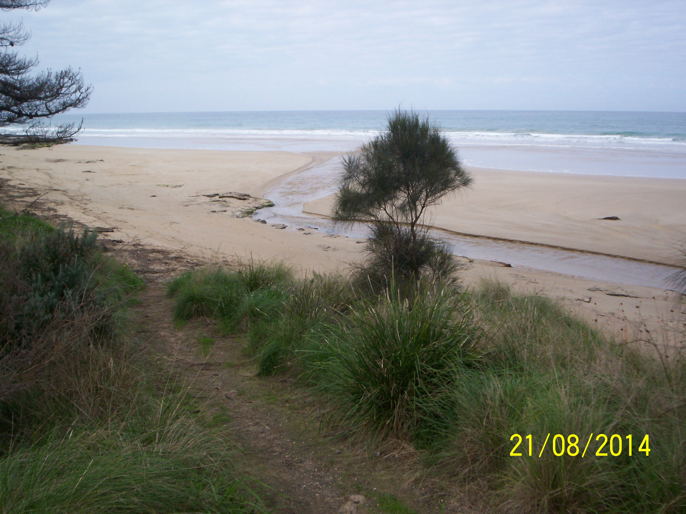
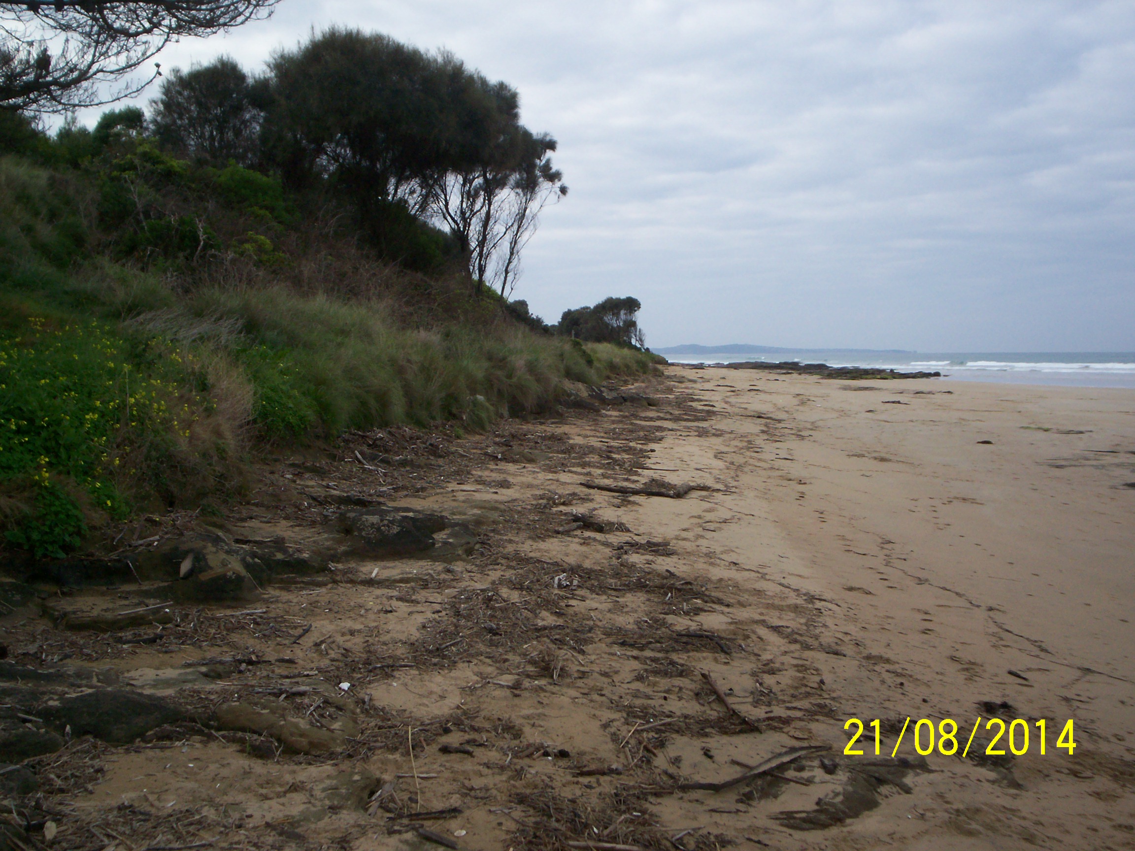
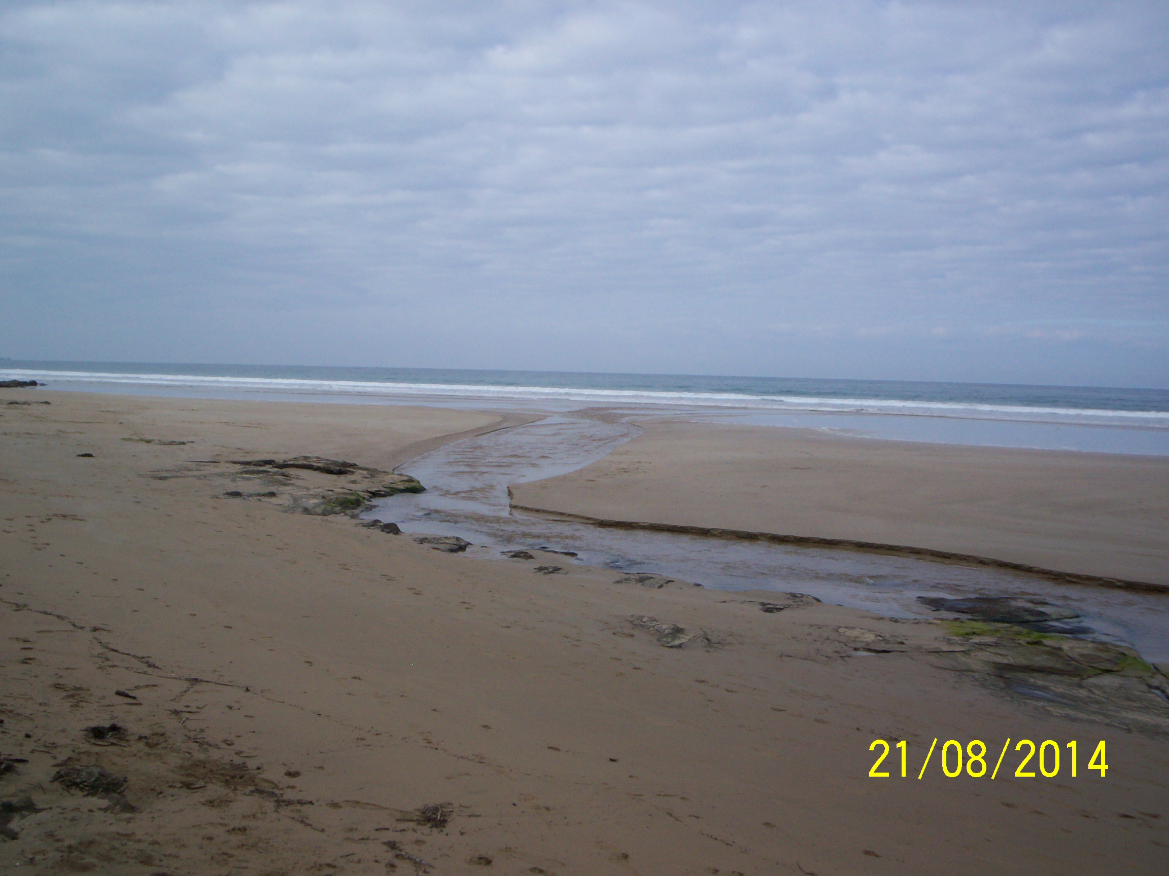
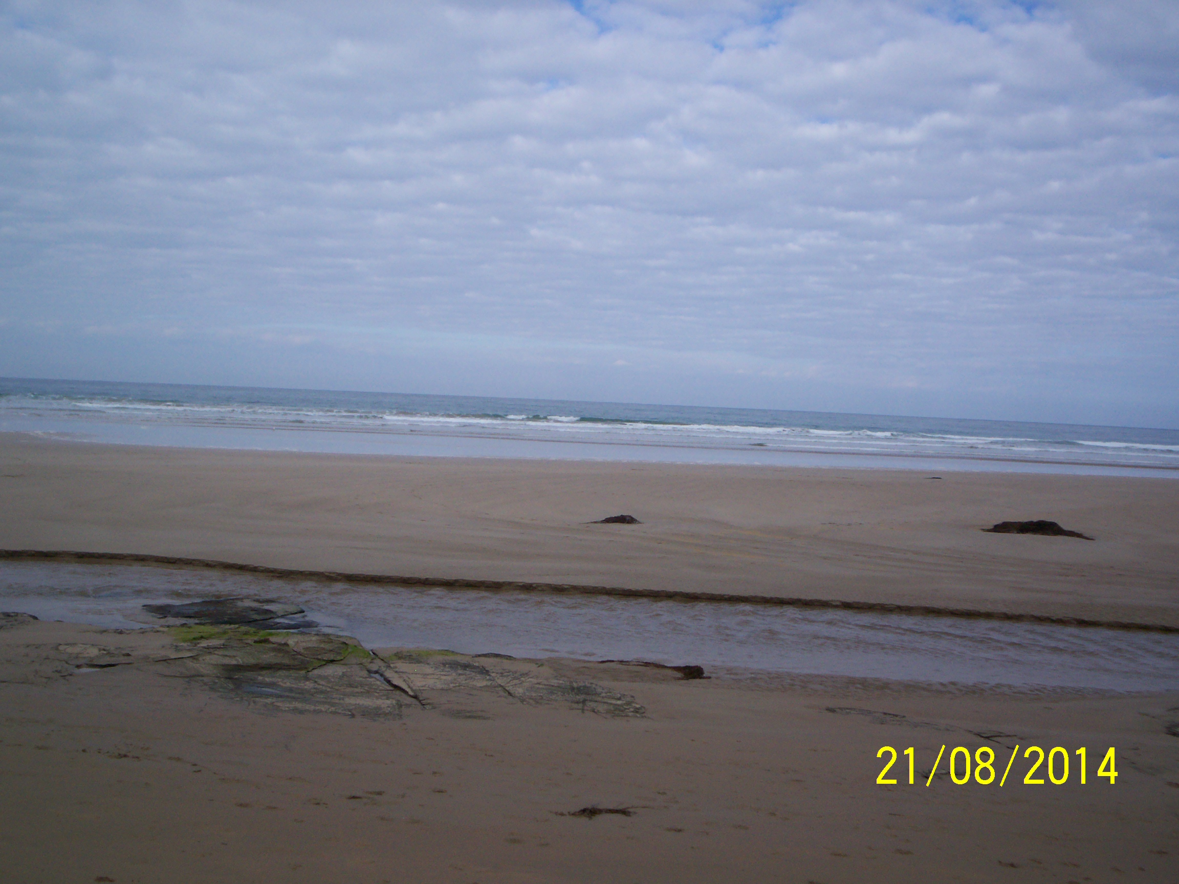
| #9125 | 21 Aug 2014 | Approved | ||
| #9032 | 21 Jul 2014 | Approved | ||
| #9004 | 21 Jun 2014 | Approved | ||
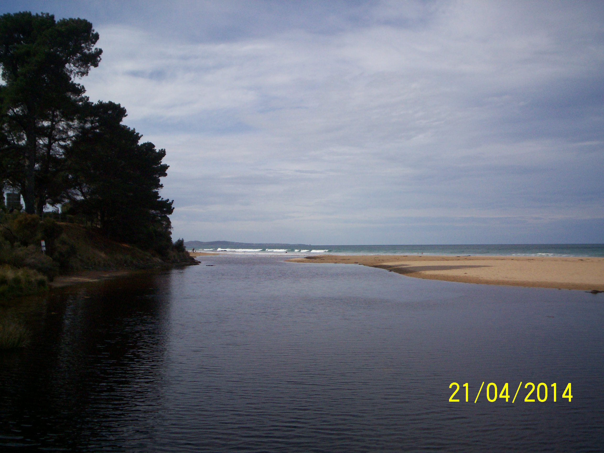
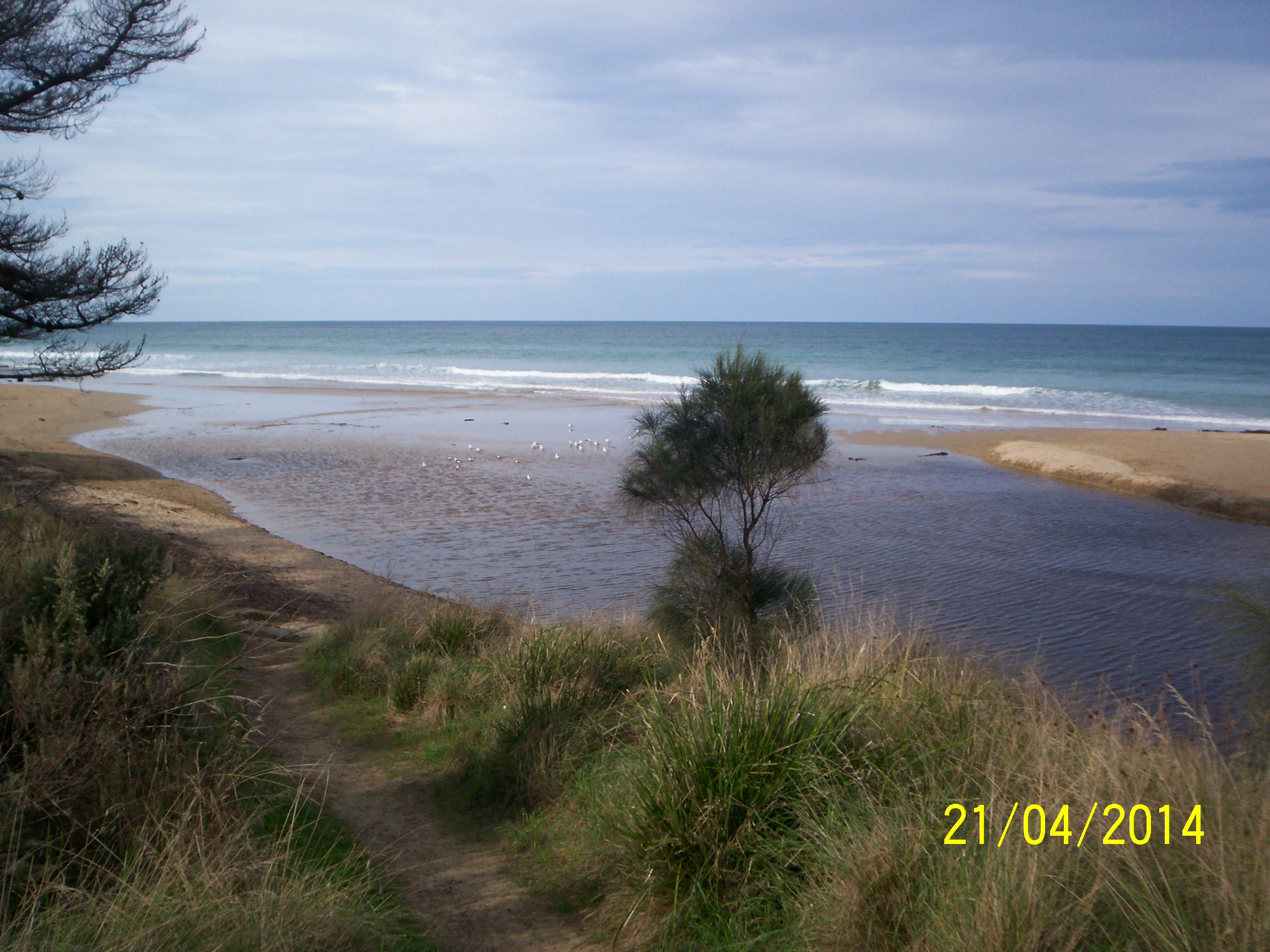
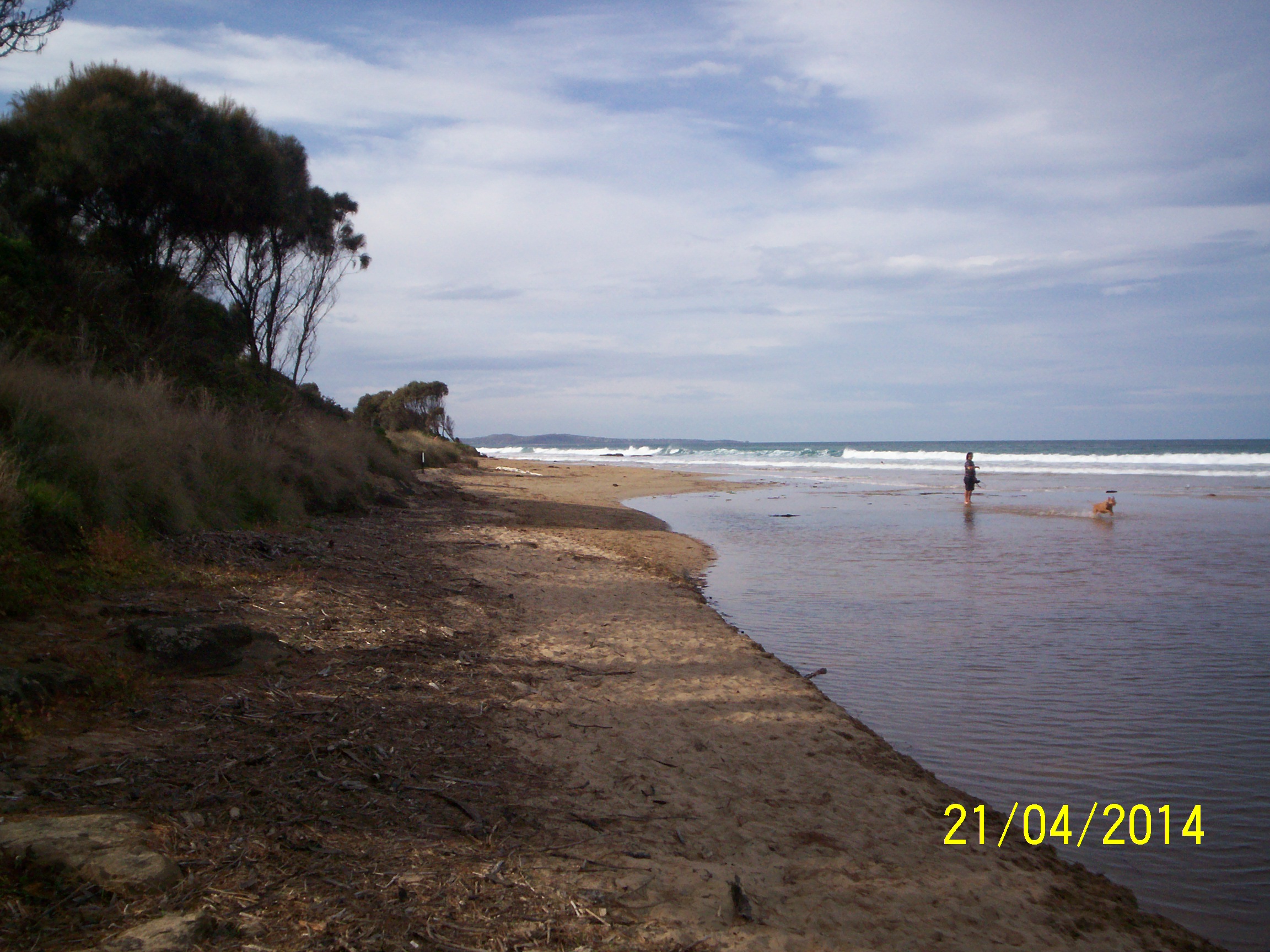
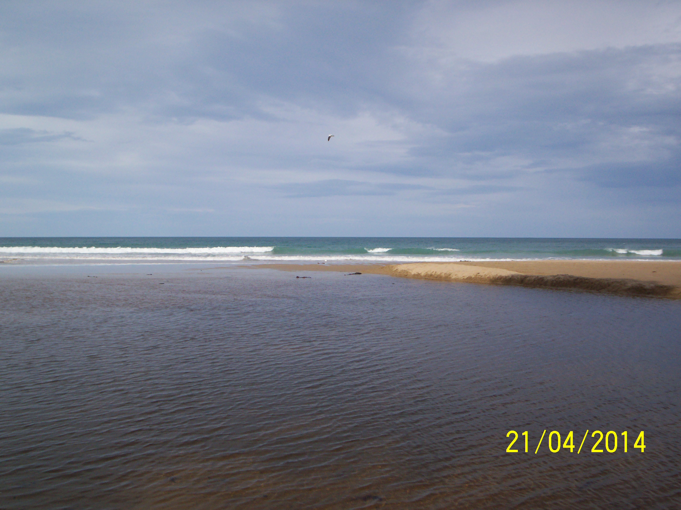
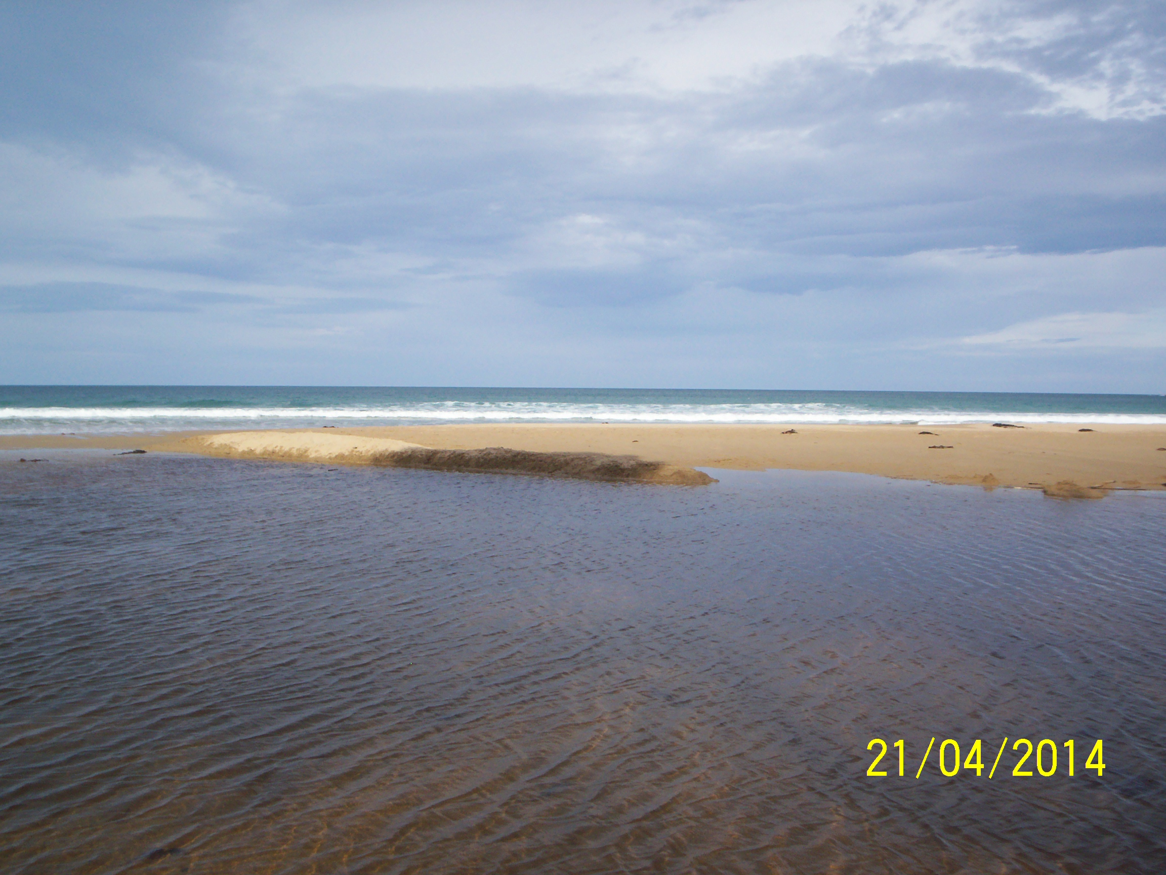
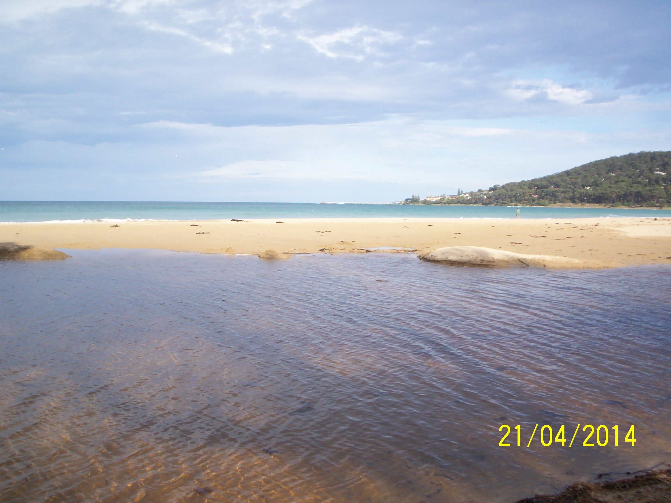
| #9126 | 21 Apr 2014 | Approved | Notes: Photos are 2 hours behind in time setting. Photo point times are correct. | |
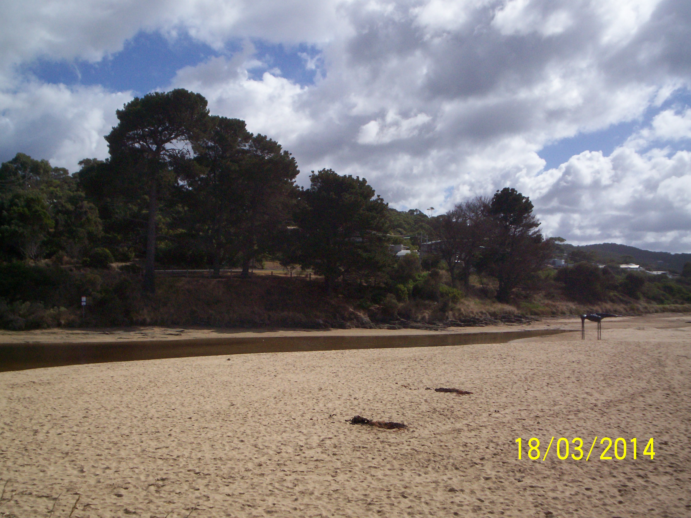
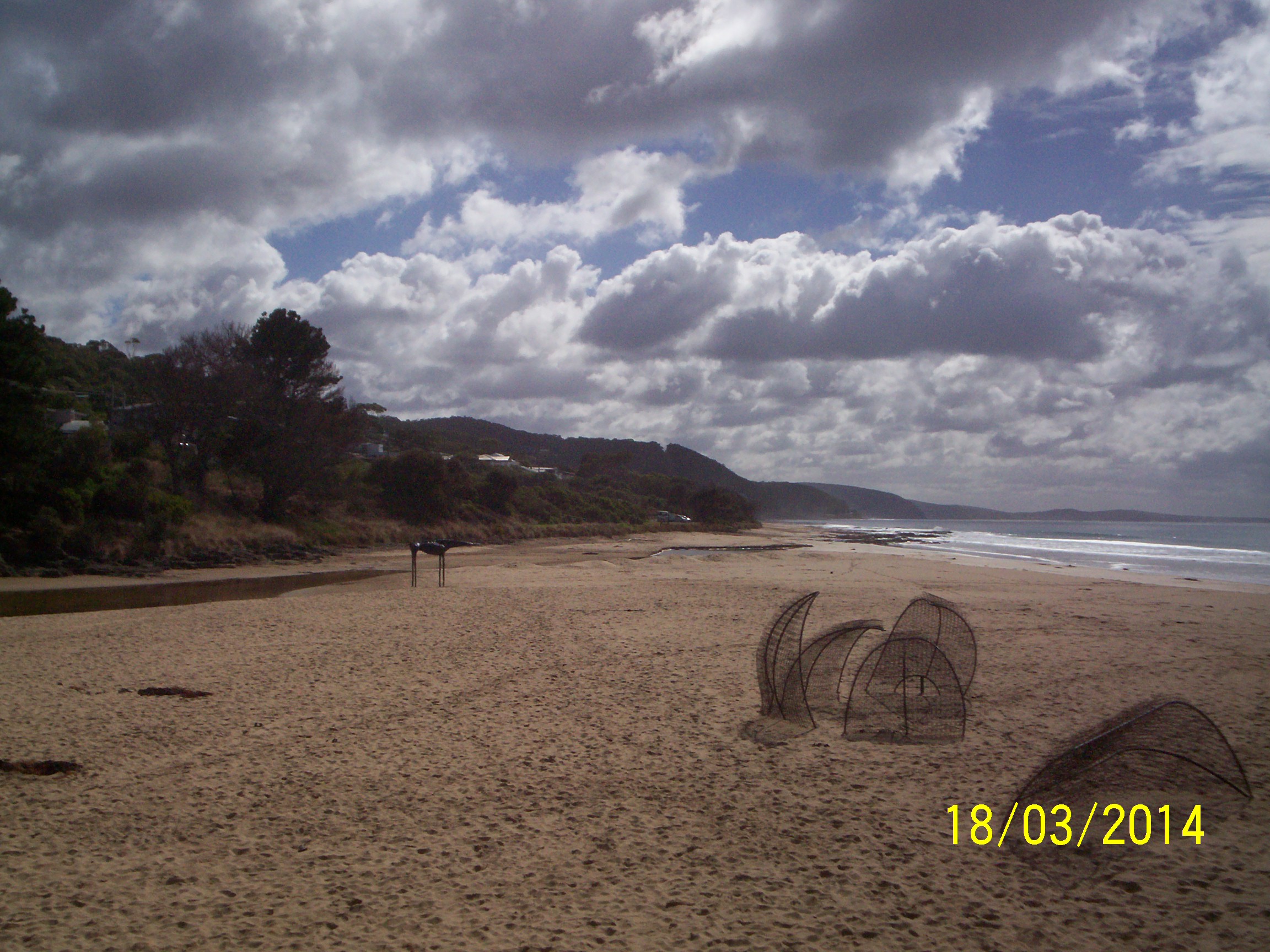
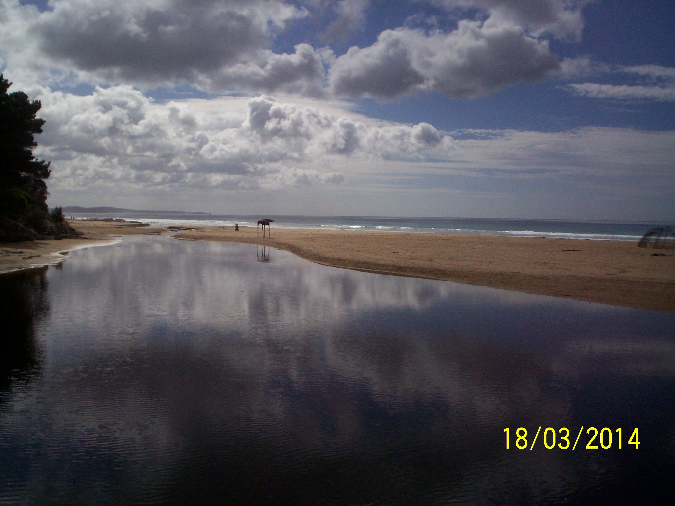
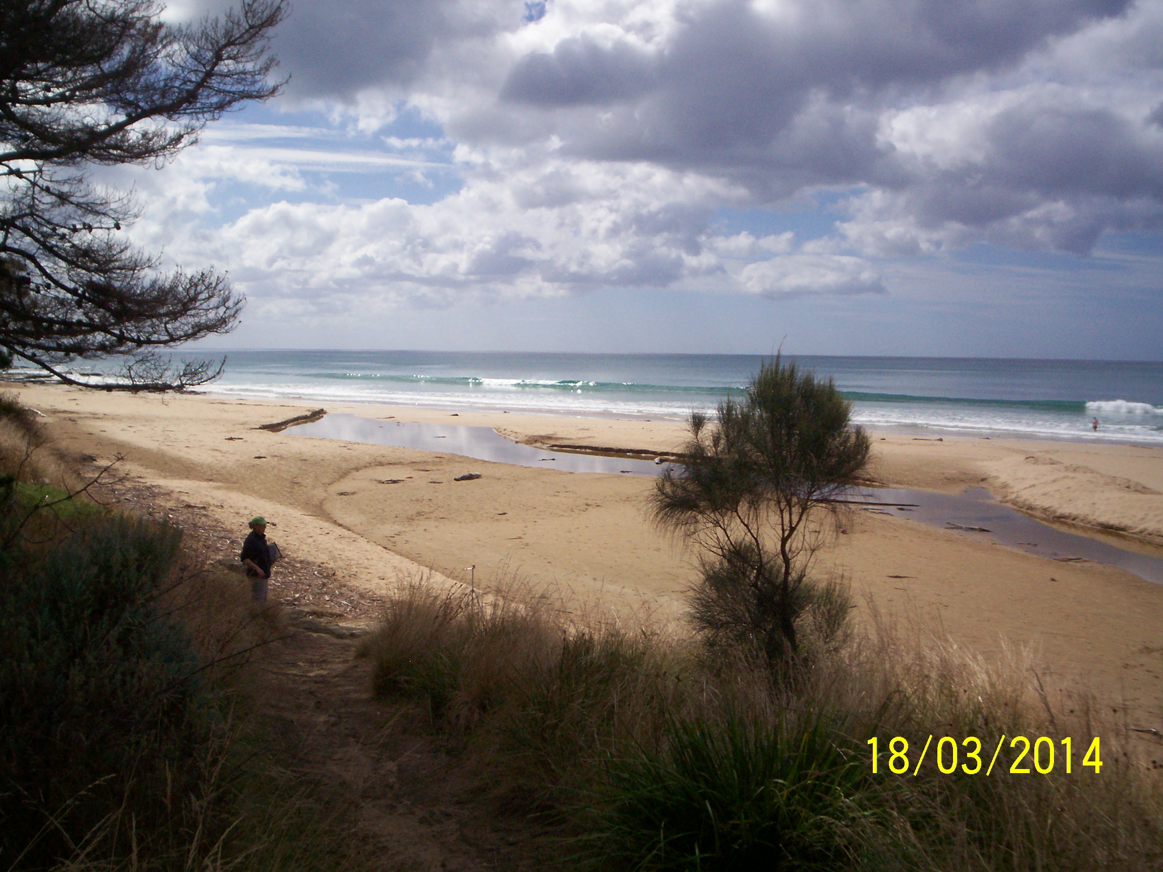
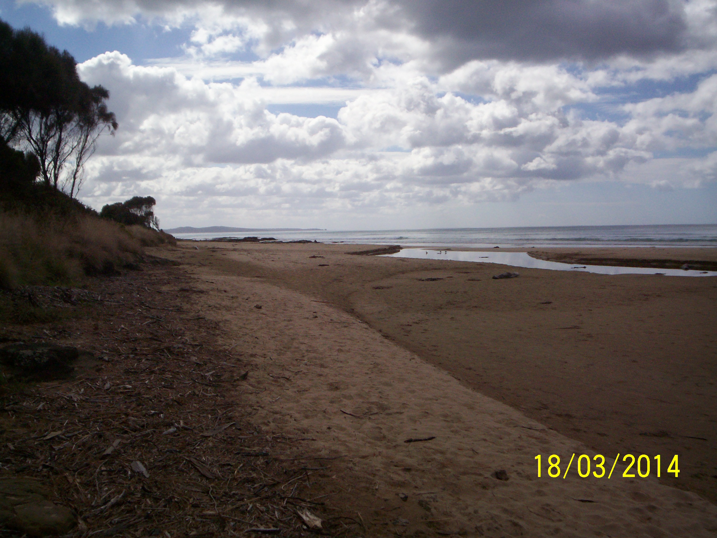
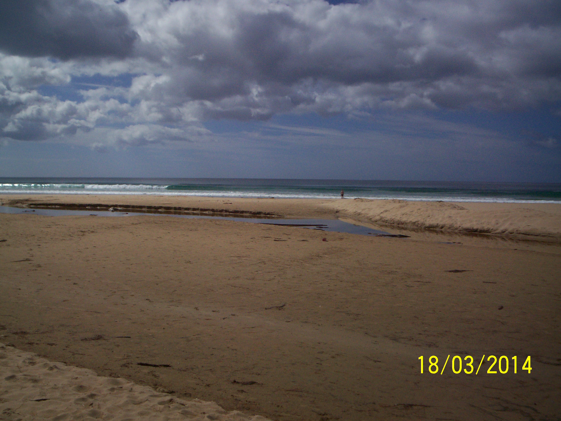
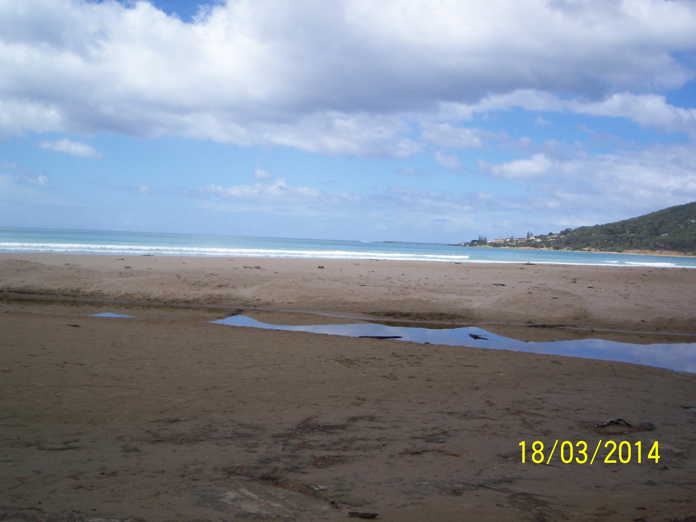
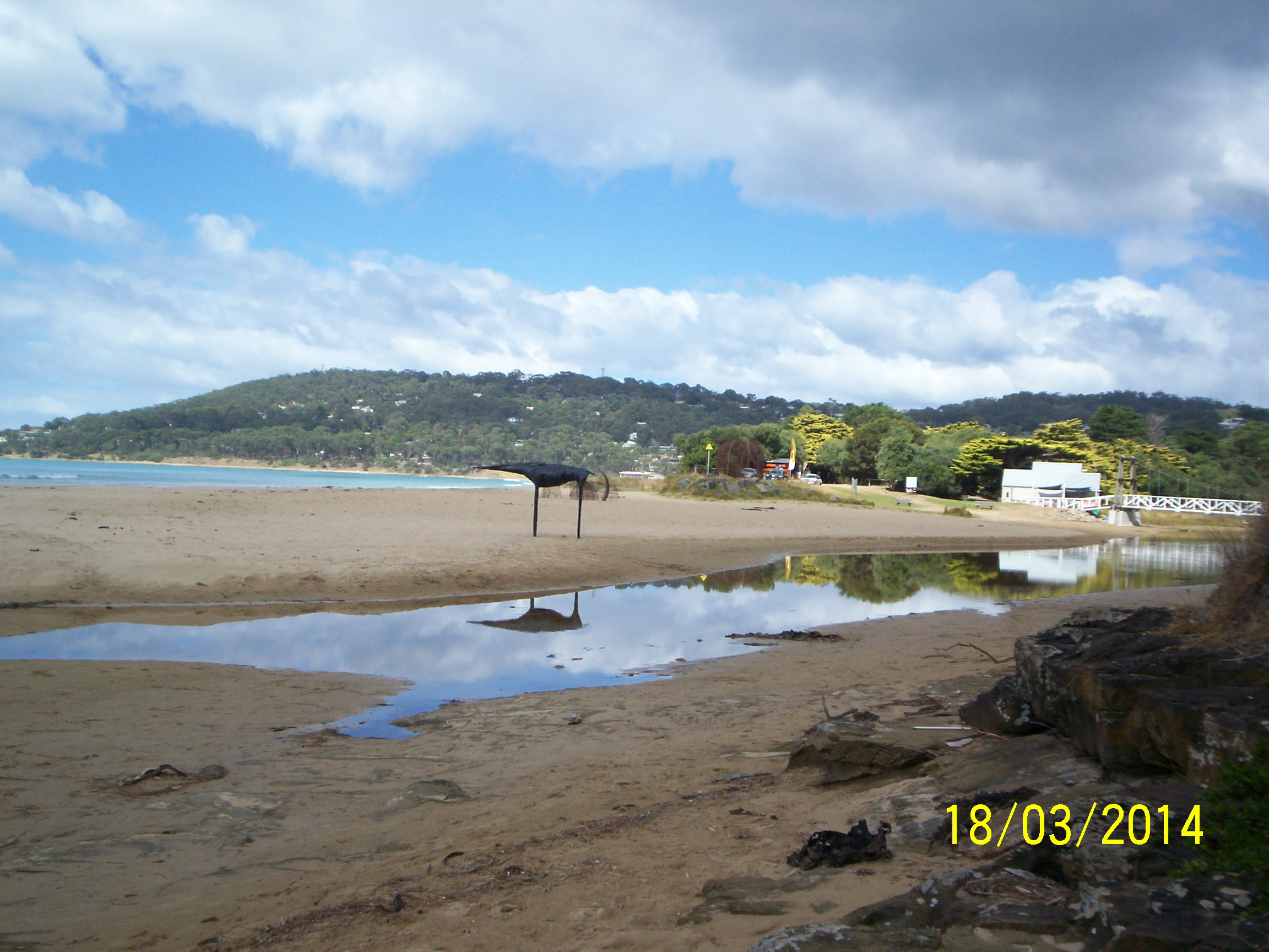
| #9026 | 18 Mar 2014 | Approved |
Notes:
|
|
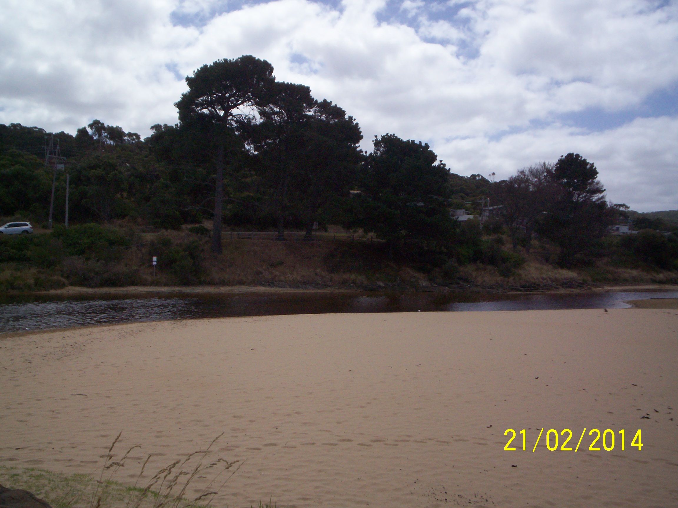
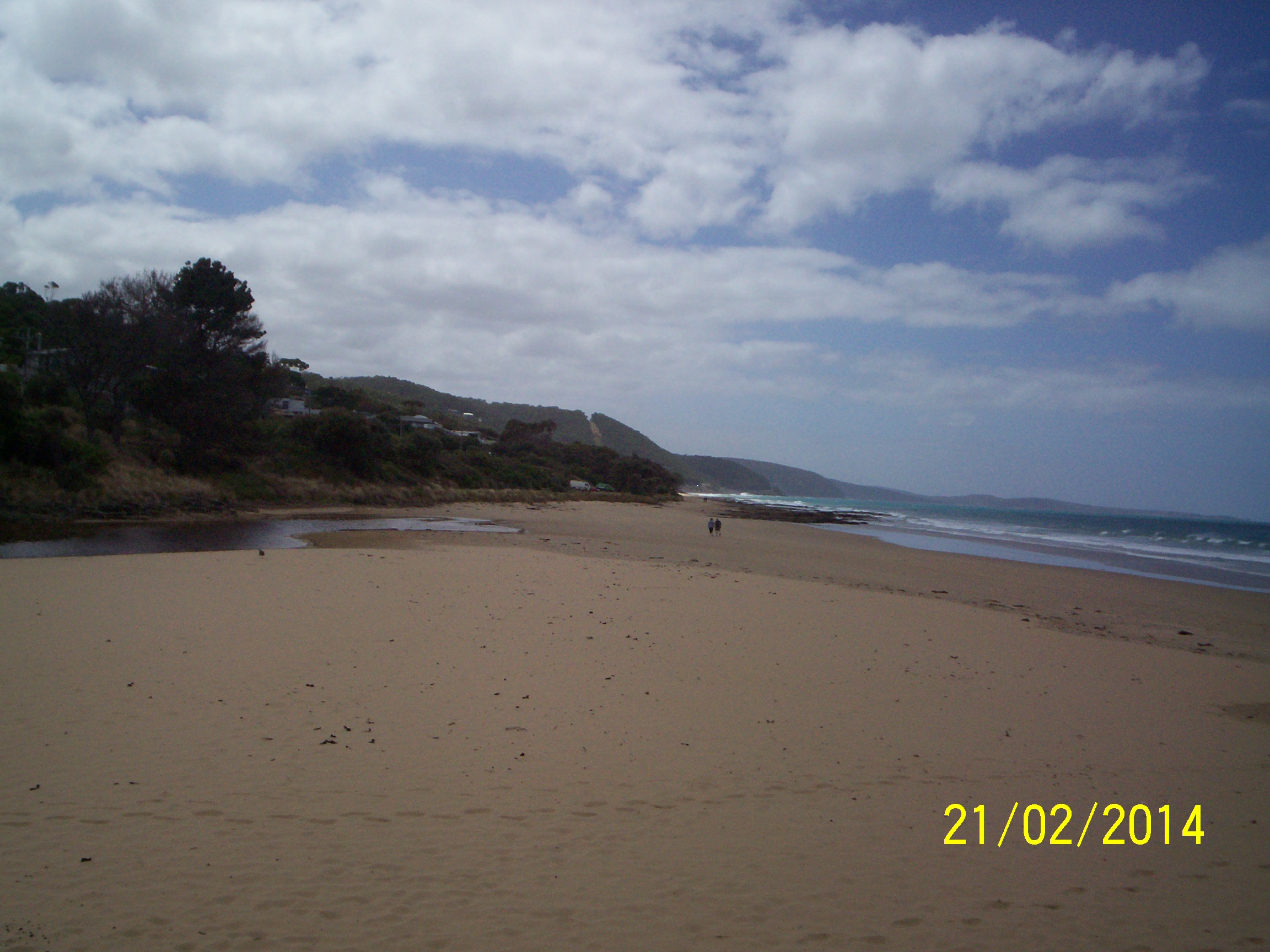
| #9121 | 21 Feb 2014 | Approved | ||
| #9122 | 21 Jan 2014 | Approved | Notes: A wood bridge 500x28x10cm has been in place since December 2013. It was made by a local. | |
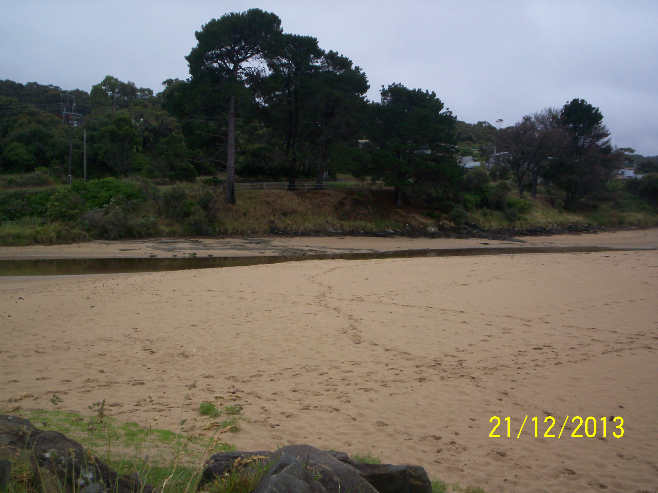
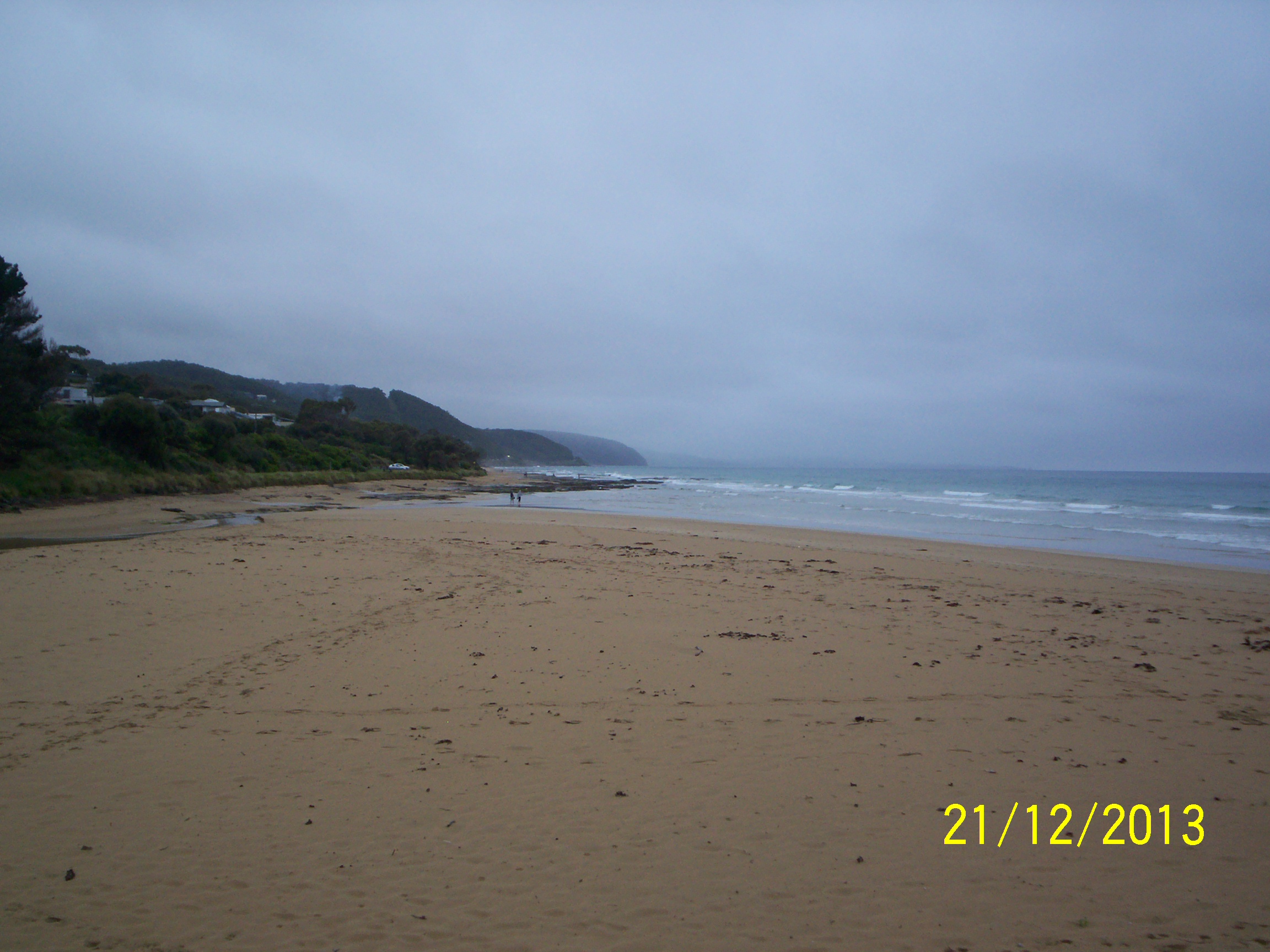
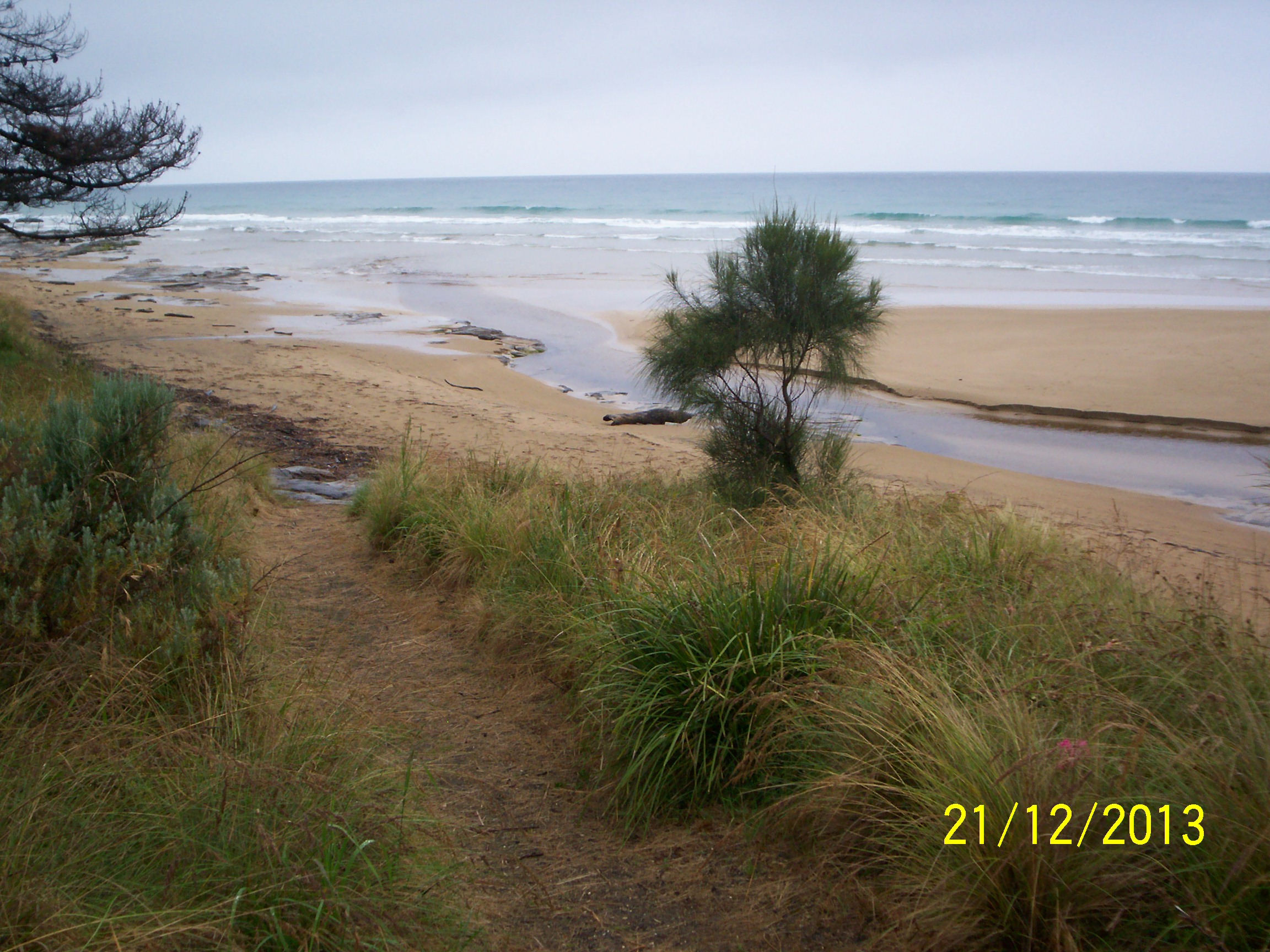
| #9120 | 21 Dec 2013 | Approved | ||
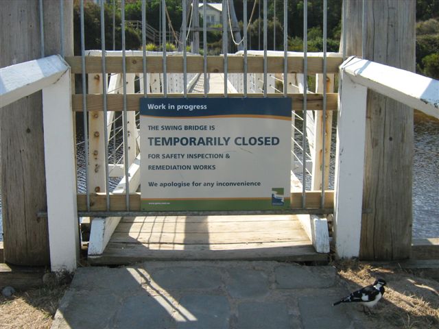
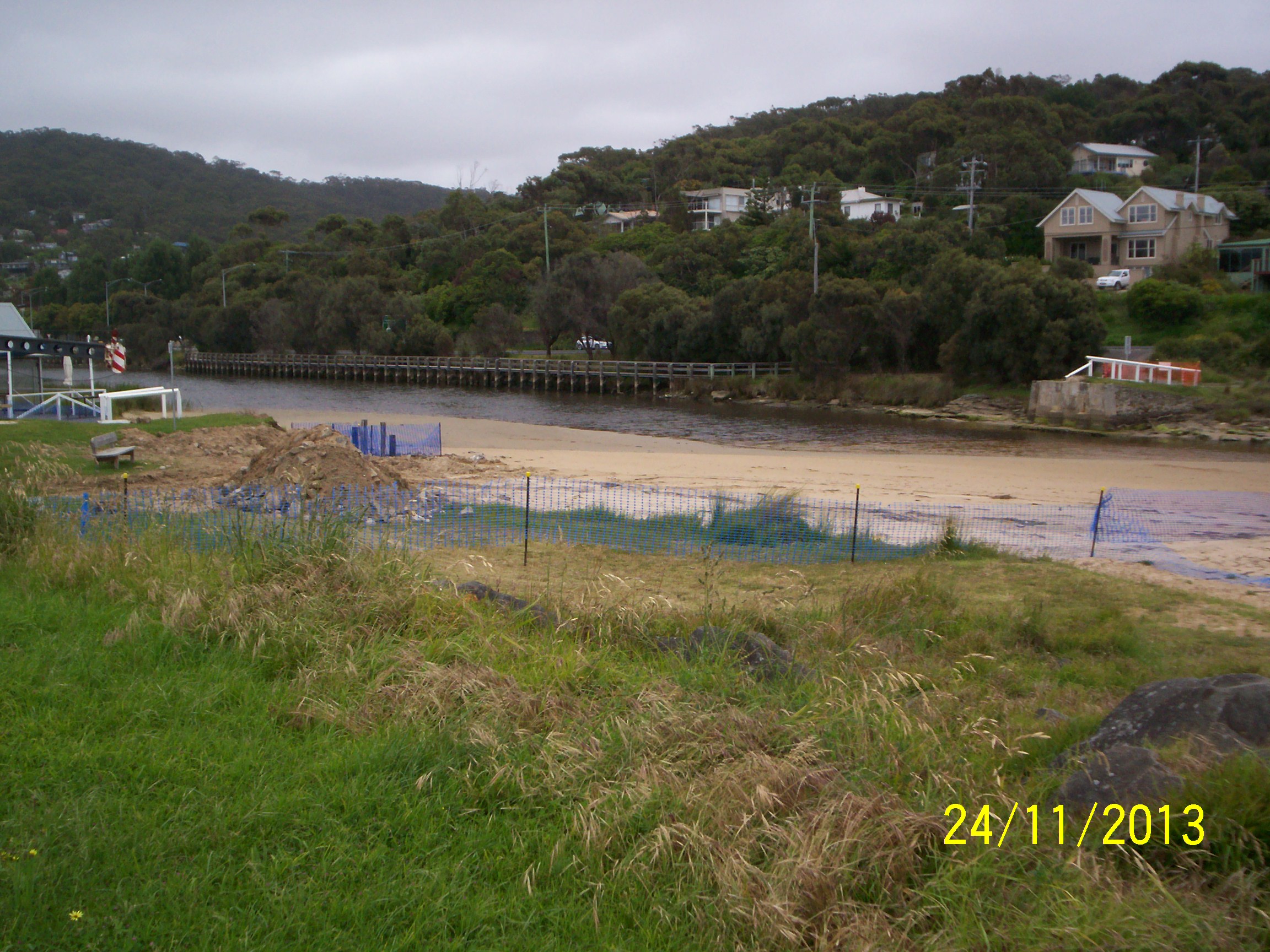
| #9123 | 24 Nov 2013 | Approved | Notes: Erskine swing bridge removed 13/11/2013 for replacement. Photo Ep1.3 bridge removed and work on café side abutment in progress. | |
| #8567 | 21 Oct 2013 | Approved | ||
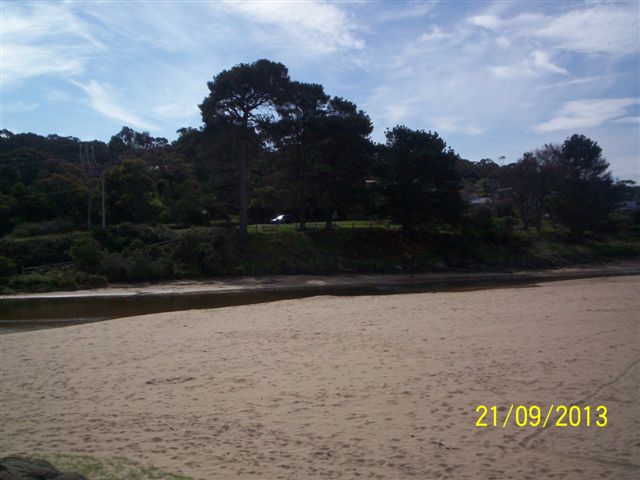
| #8566 | 21 Sep 2013 | Approved |
Notes:
Used Kodak Easy Share camera C310 day/date not set |
|
| #8468 | 23 Aug 2013 | Approved | ||
| #8312 | 27 May 2013 | Approved | ||
| #8277 | 20 Apr 2013 | Approved | Notes: swing Bridge closed- no EP2. Low flow out ,less than 10mm deep | |
| #8197 | 21 Mar 2013 | Approved |
Notes:
Unofficial 4 mm rain.Swing Bridge closed for repairs so no EP2 photo.
    |
|
| #8096 | 21 Feb 2013 | Approved | ||
| #8086 | 21 Jan 2013 | Approved | ||
| #8085 | 20 Dec 2012 | Approved | ||
| #8082 | 12 Dec 2012 | Approved | Notes: Ep3 taken at lower level,vegetation blocking view.Log bridges on river,water still flowing. | |
| #7935 | 21 Nov 2012 | Approved | ||
| #7934 | 24 Oct 2012 | Approved | ||
| #7933 | 21 Sep 2012 | Approved | ||
| #7871 | 21 Aug 2012 | Approved | ||
| #7522 | 21 Jul 2012 | Approved | ||


All content, files, data and images provided by the EstuaryWatch Data Portal and Gallery are subject to a Creative Commons Attribution License
Content is made available to be used in any way, and should always attribute EstuaryWatch and www.estuarywatch.org.au