EstuaryWatch Data Portal
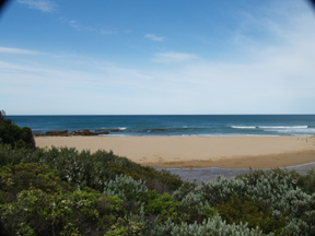
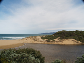
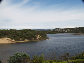
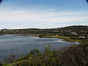
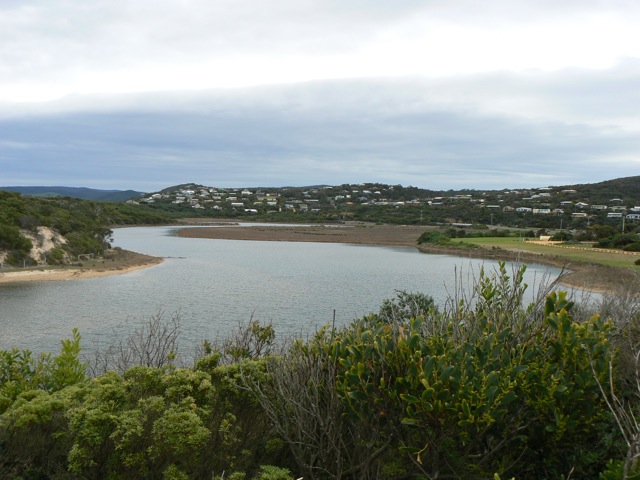
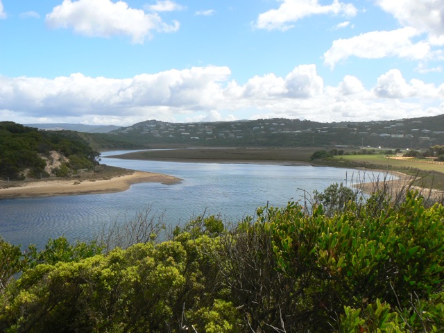
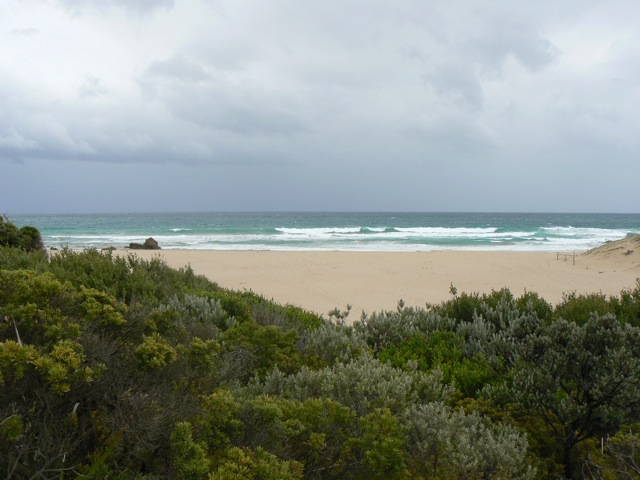
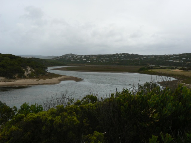
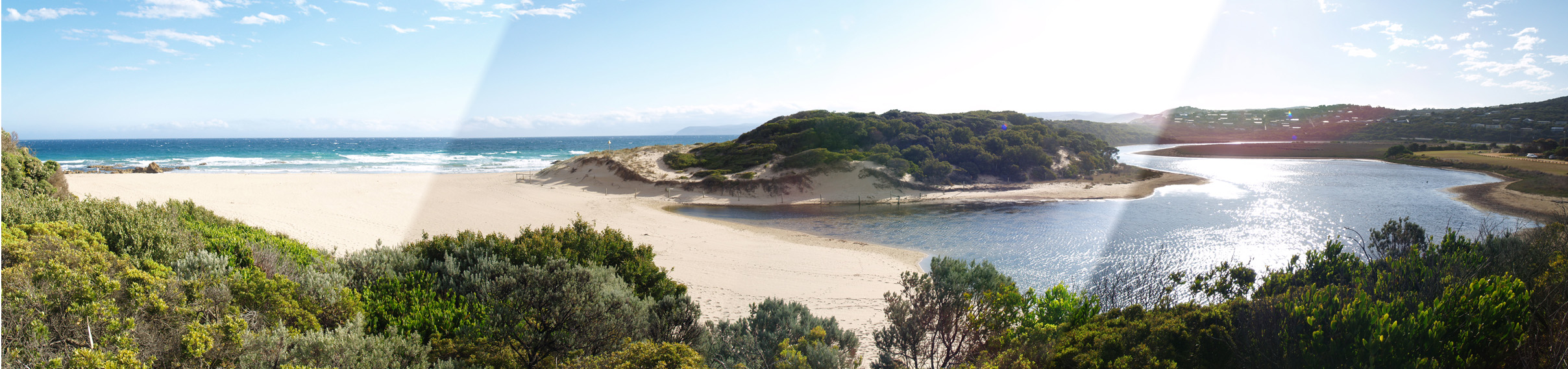
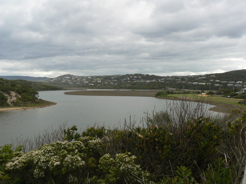
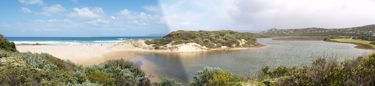
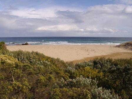
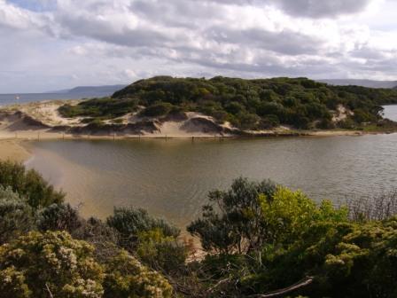
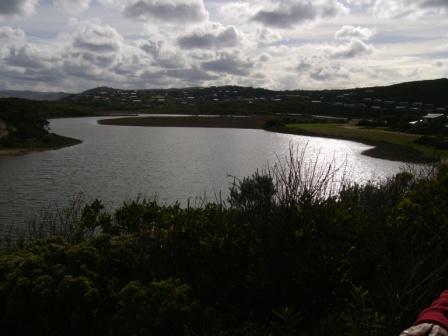
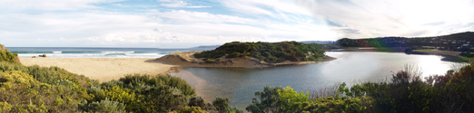
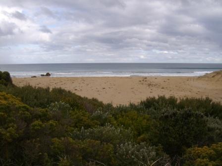
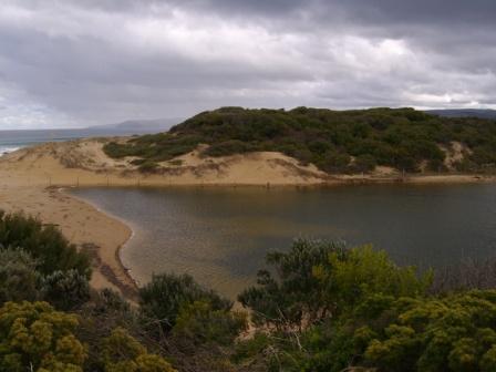
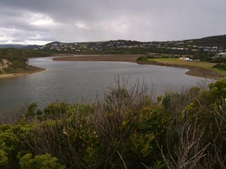
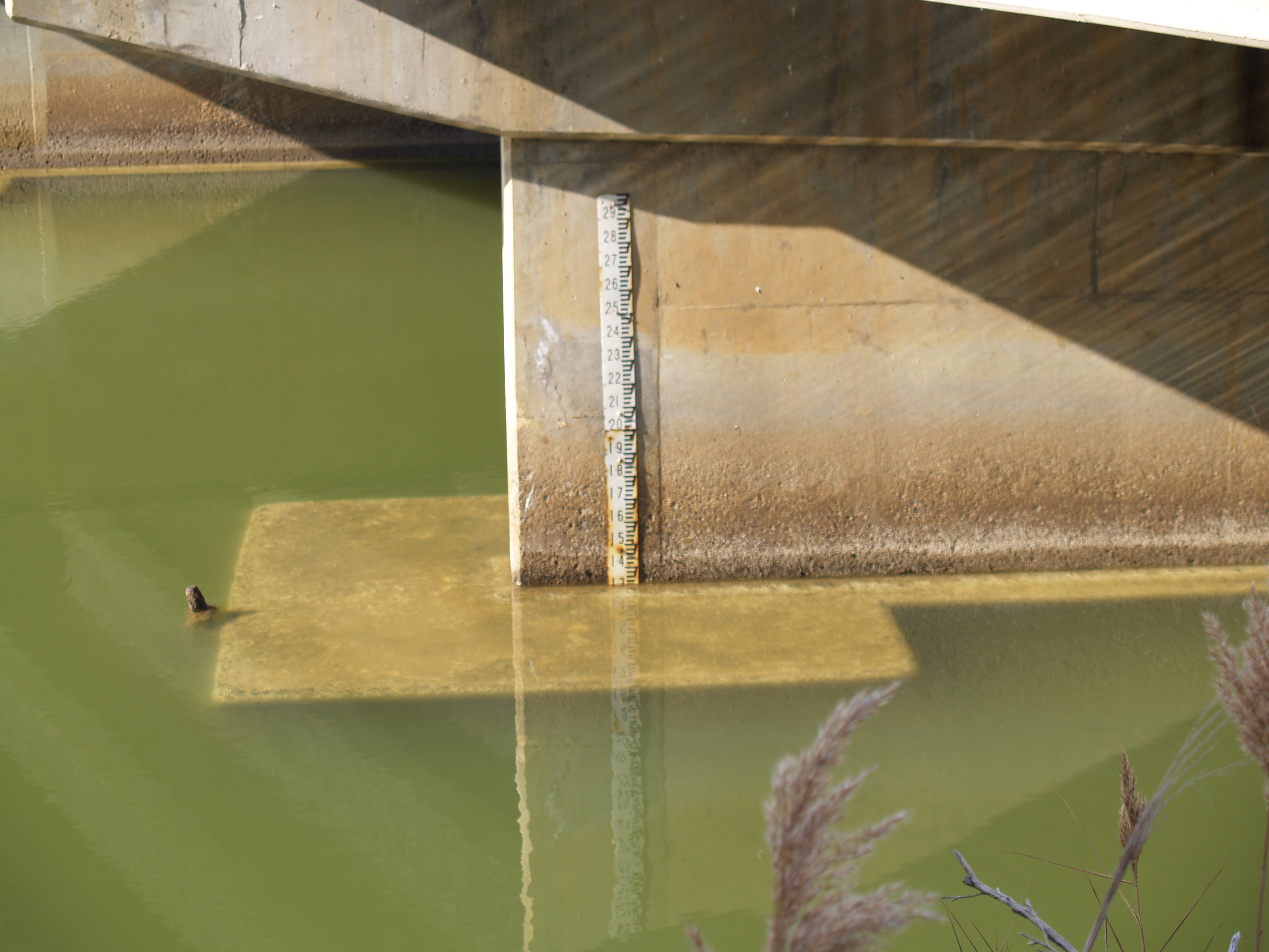
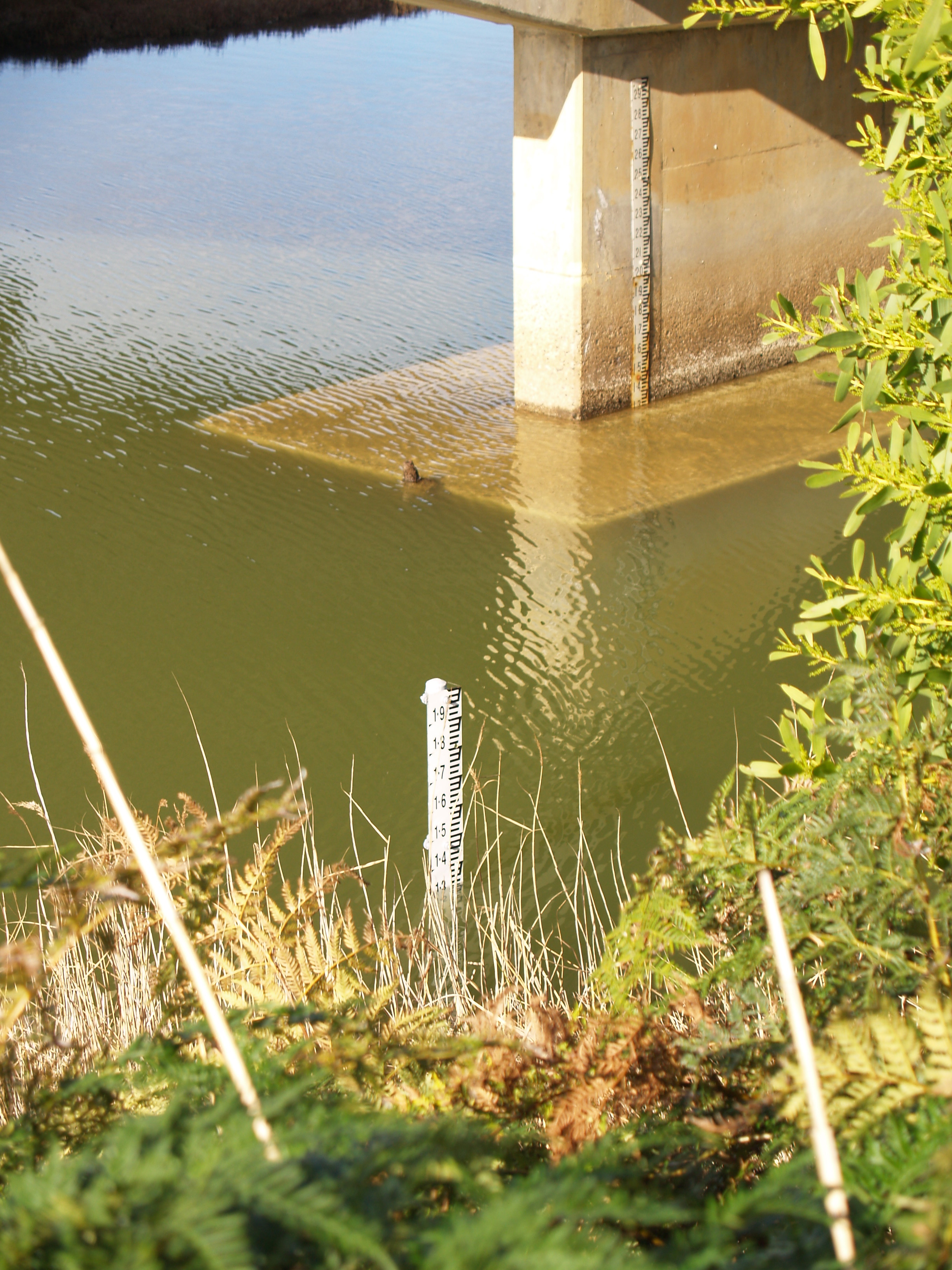
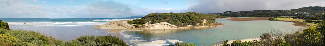
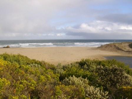
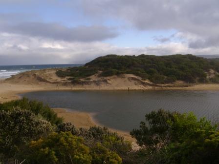
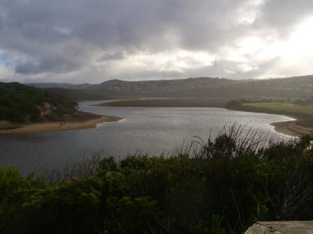
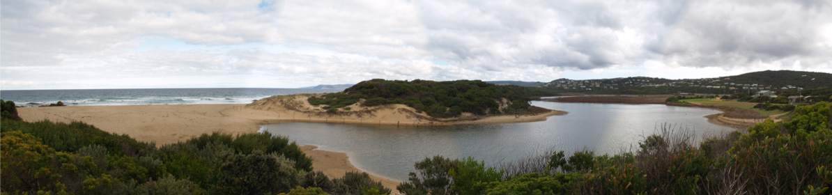
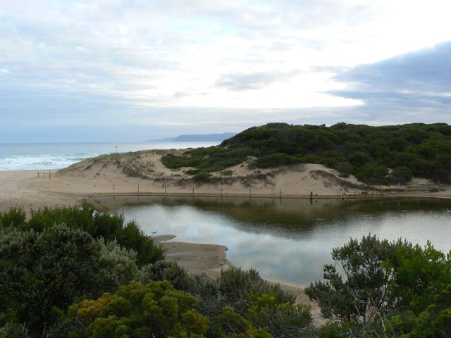
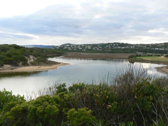
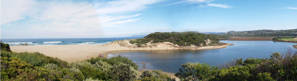
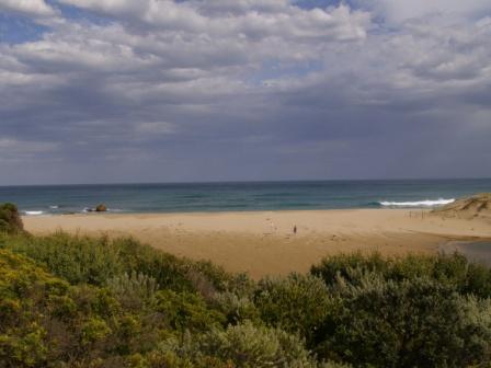
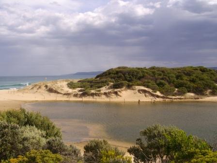
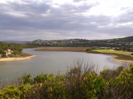
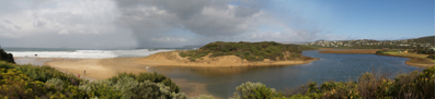
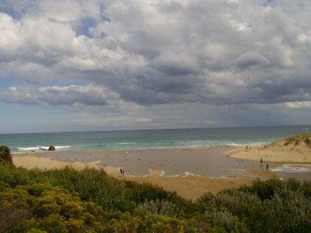
PMC Painkalac Creek Observation Site
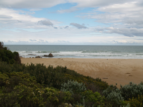
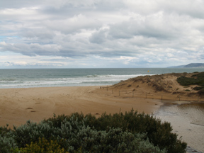
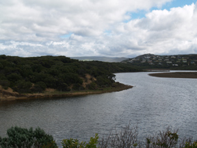
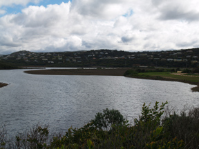
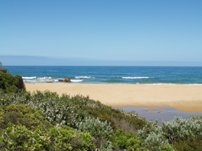
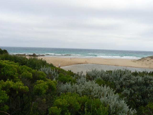
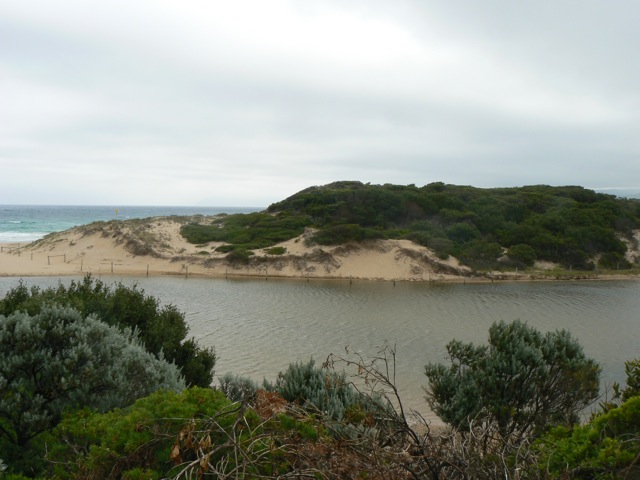
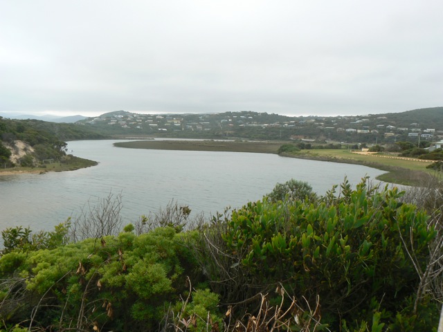
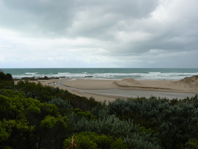
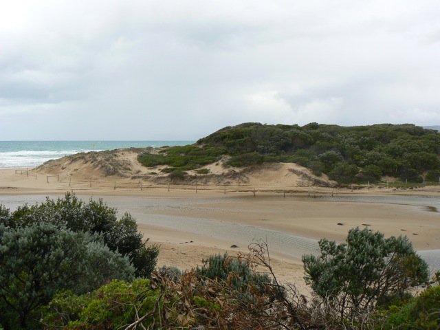
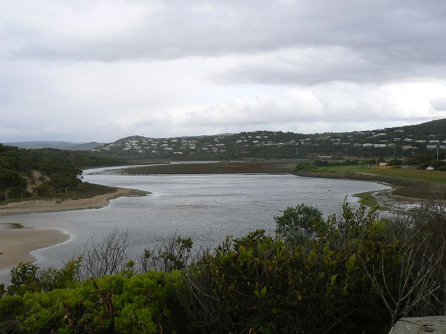
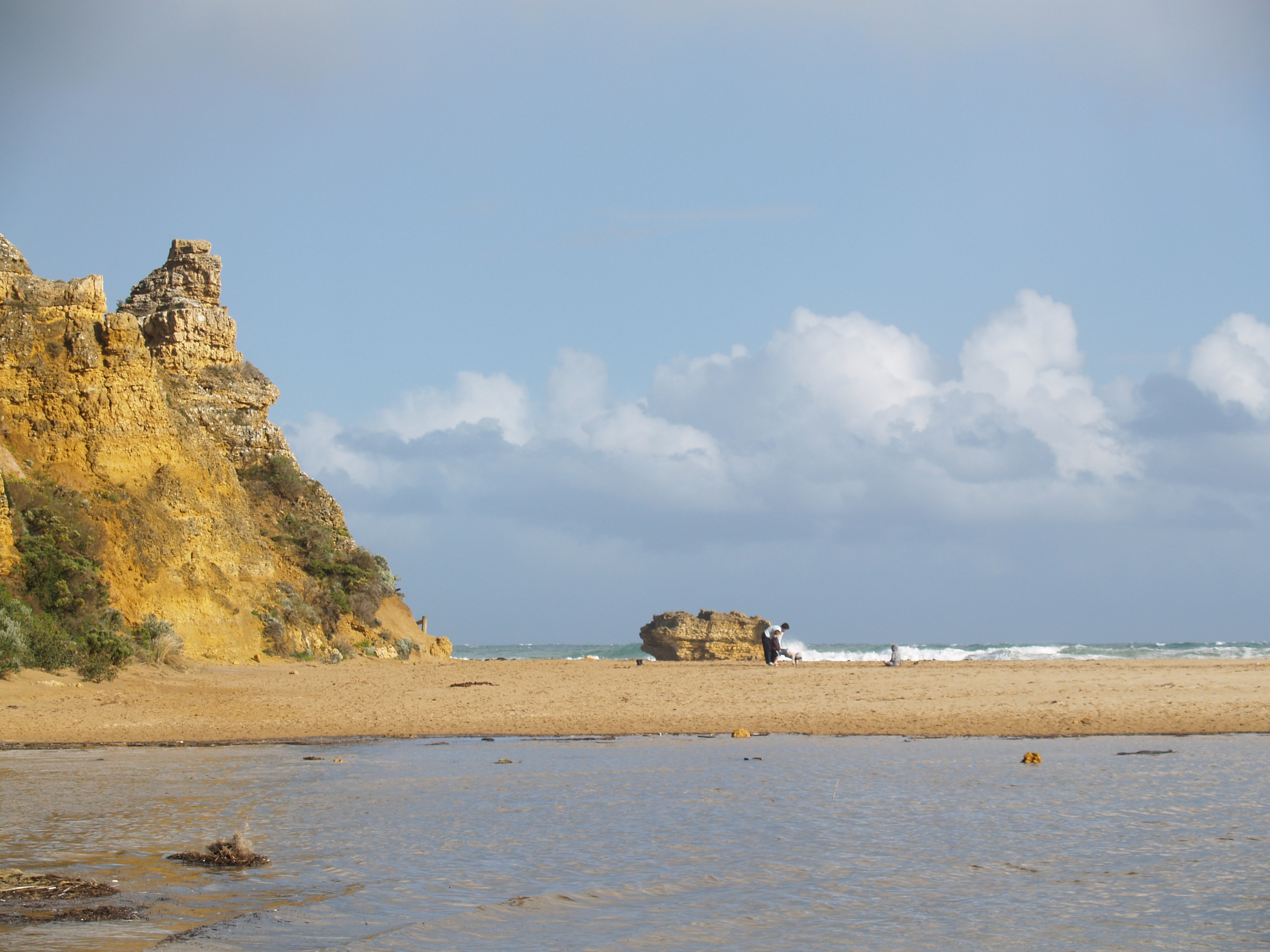
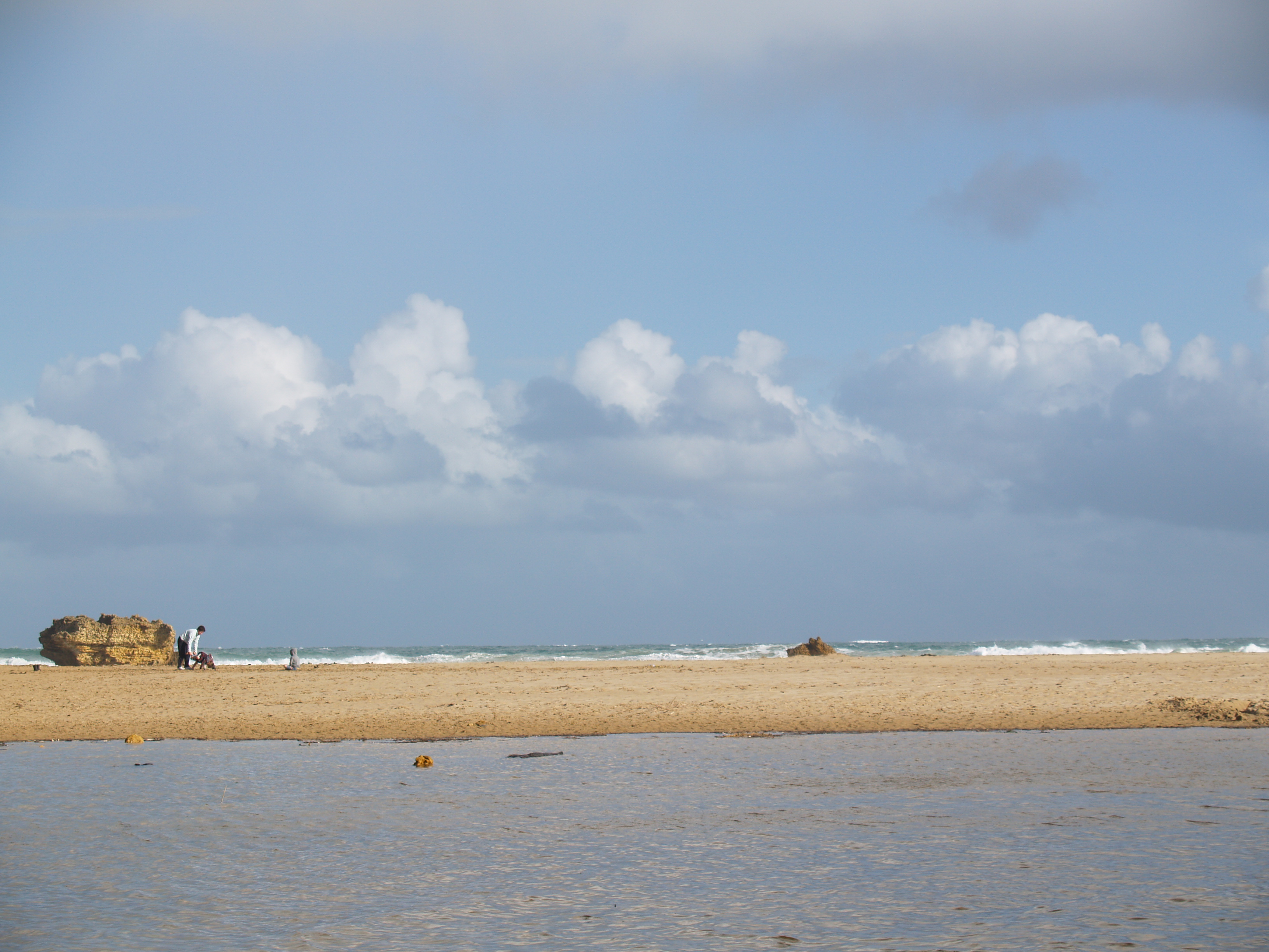
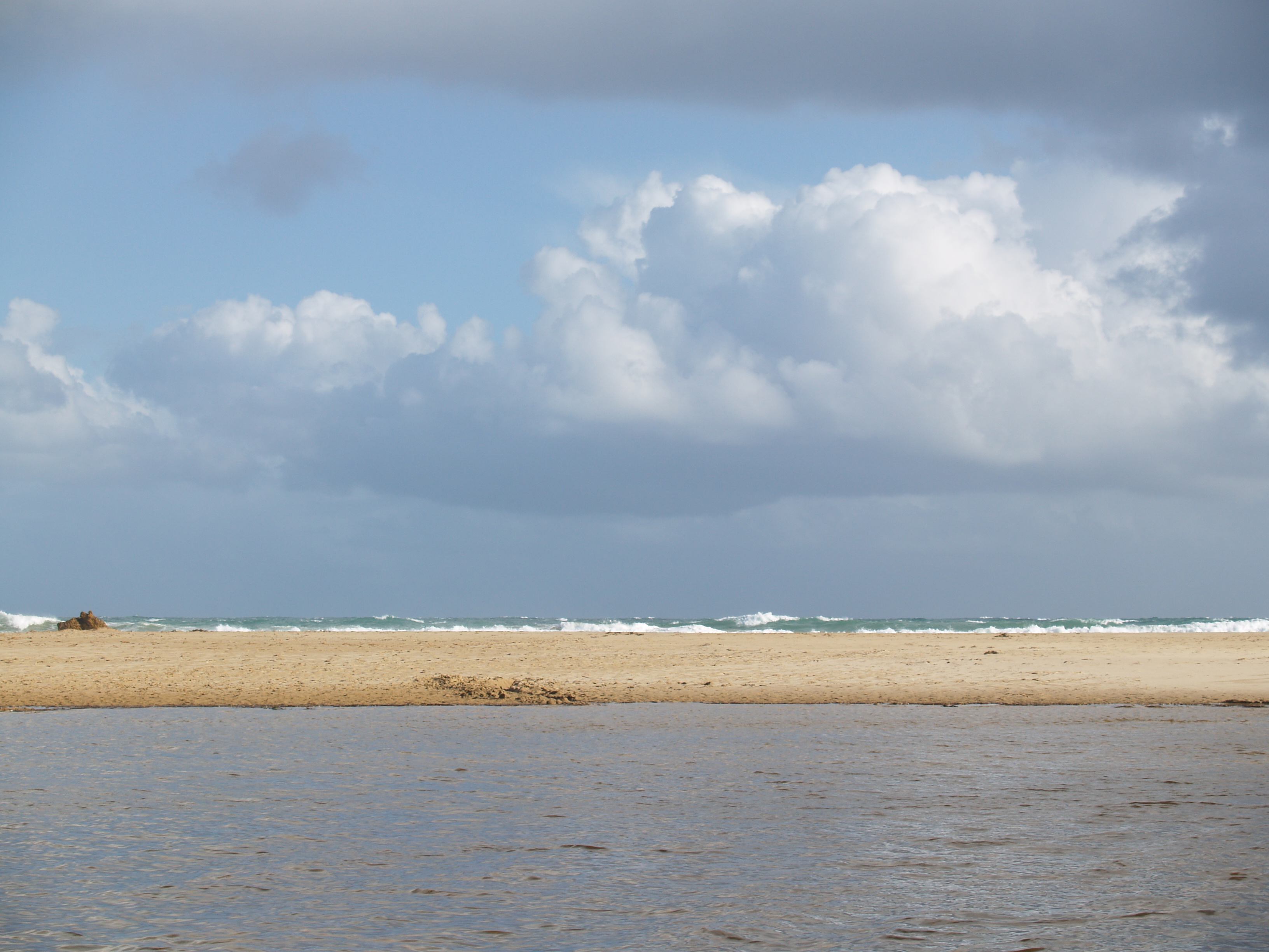
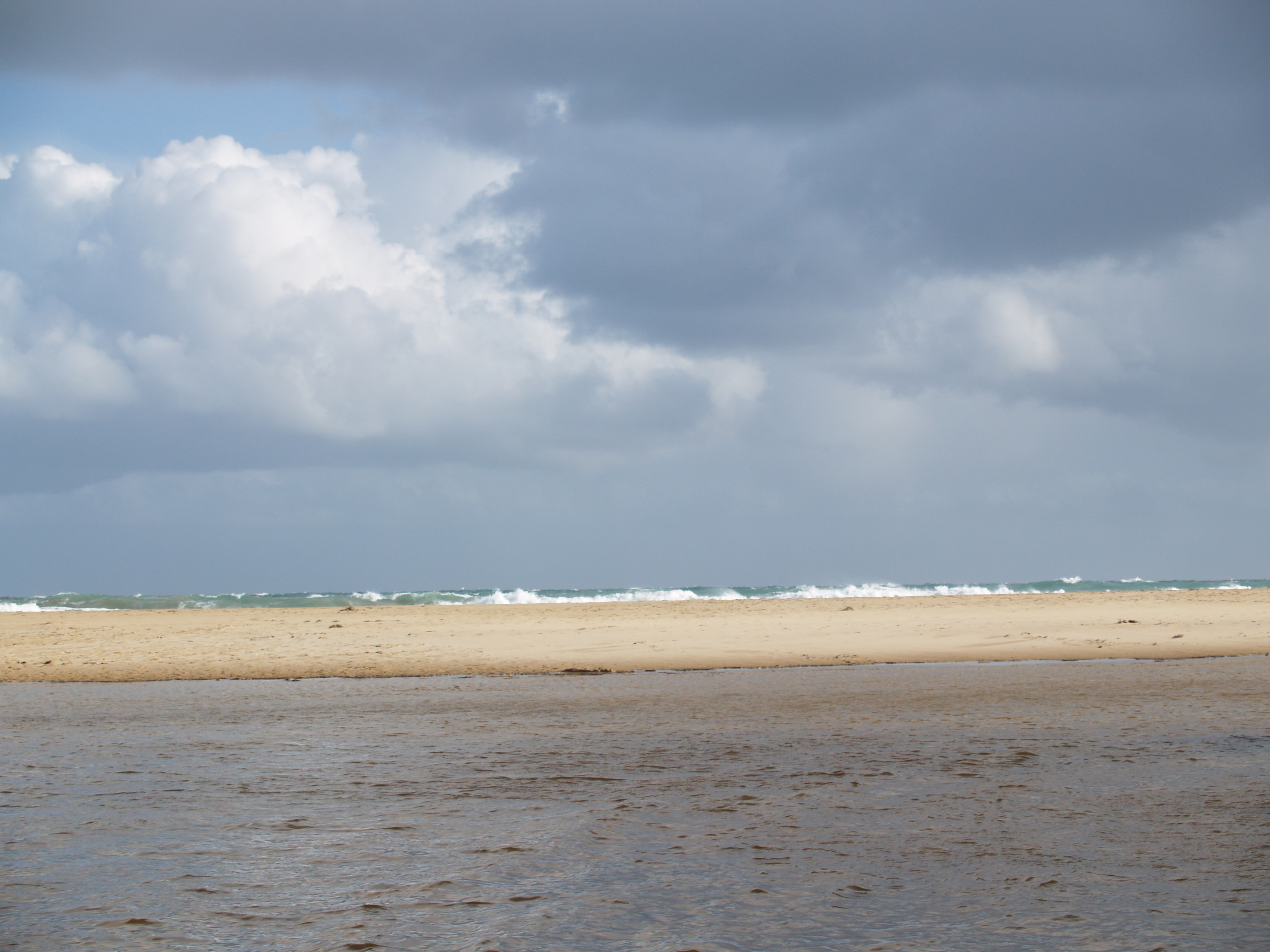
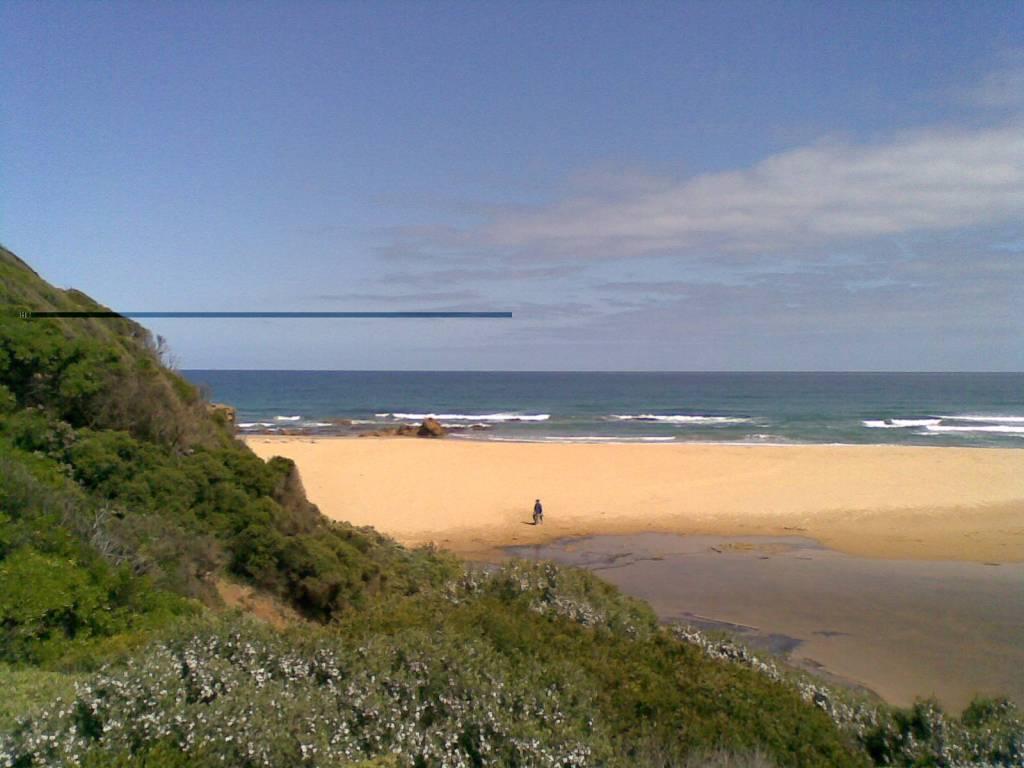
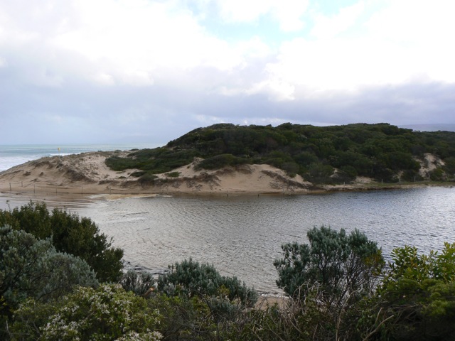
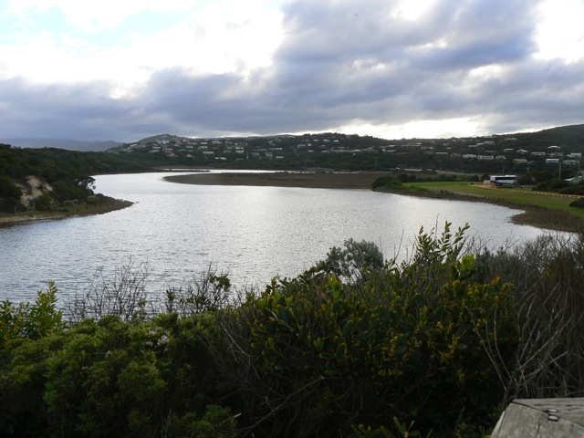
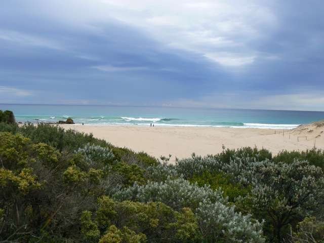
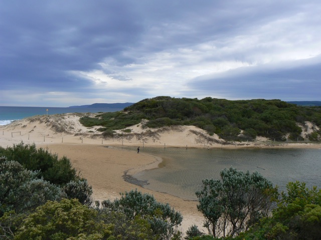
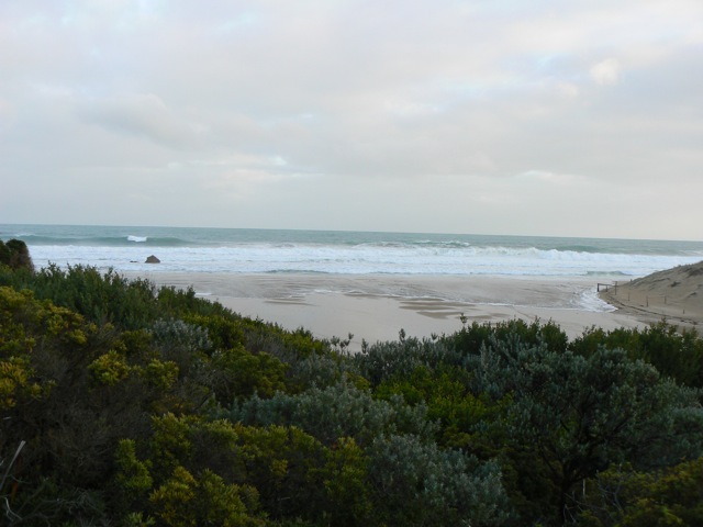
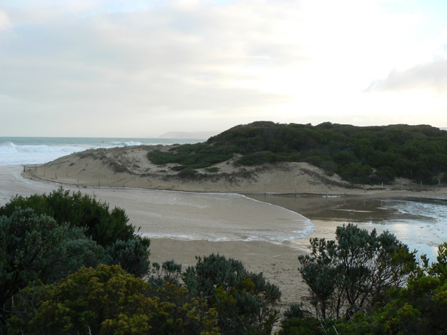
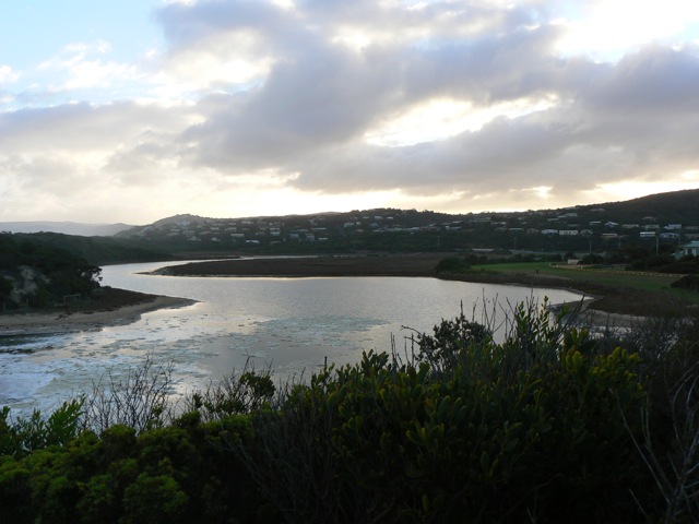
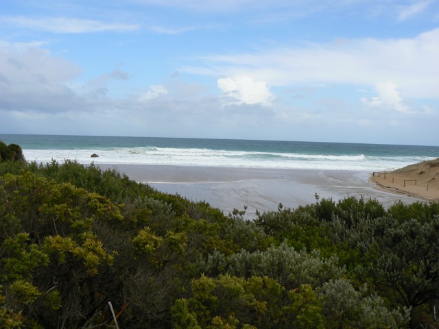
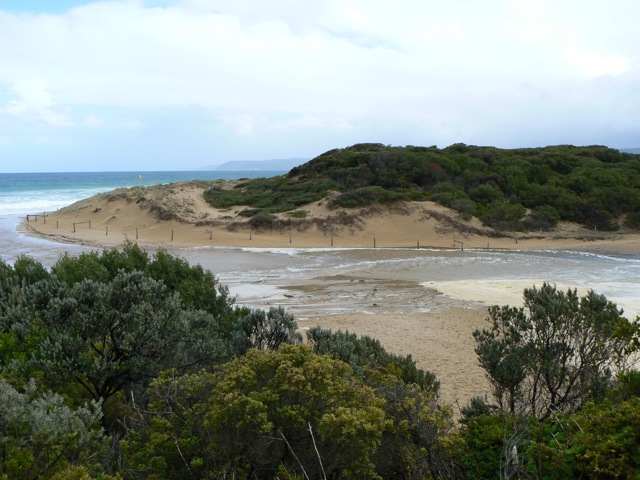
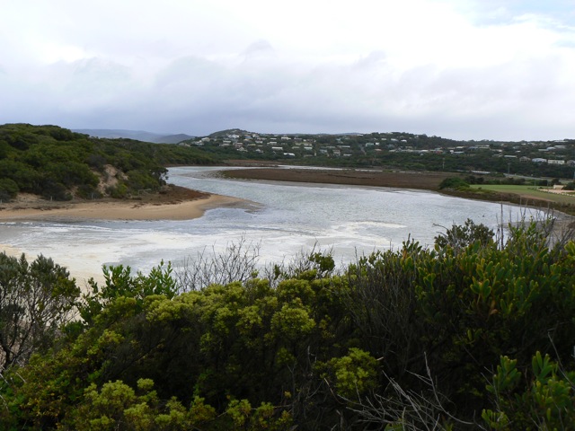
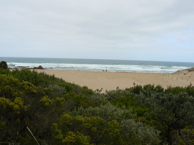
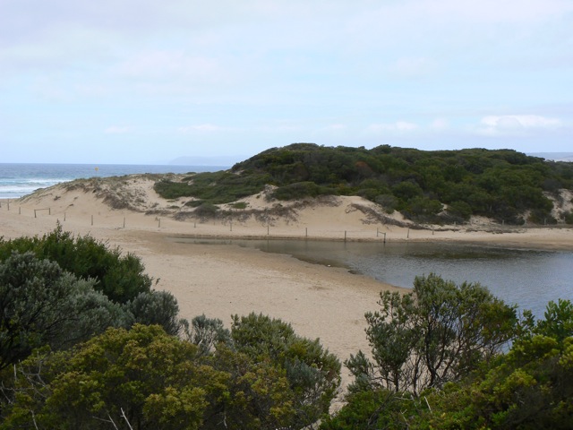
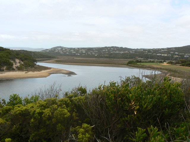
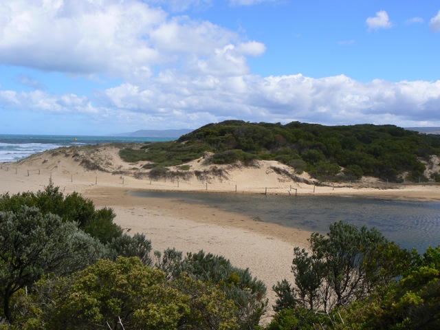
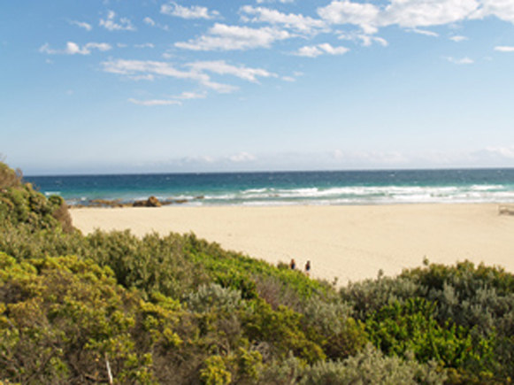
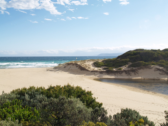
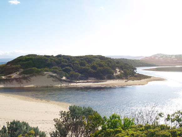
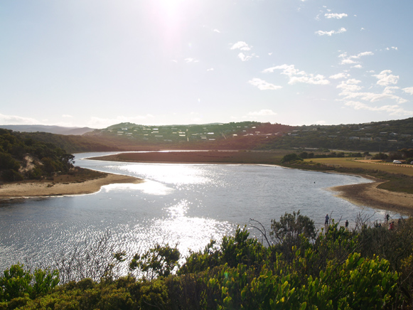
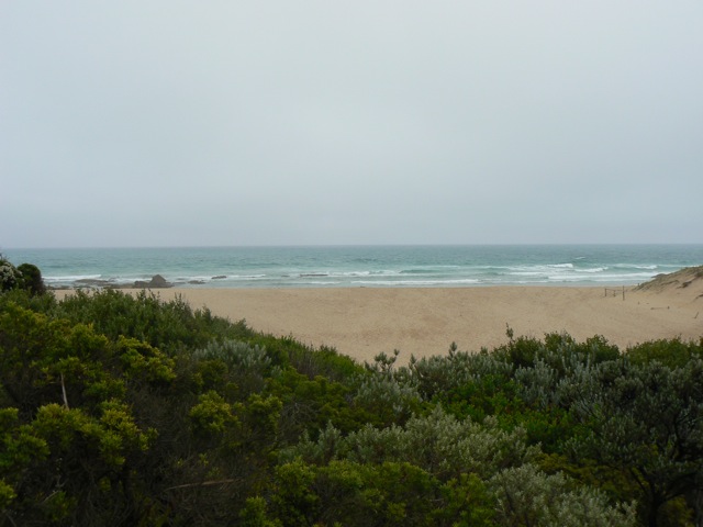
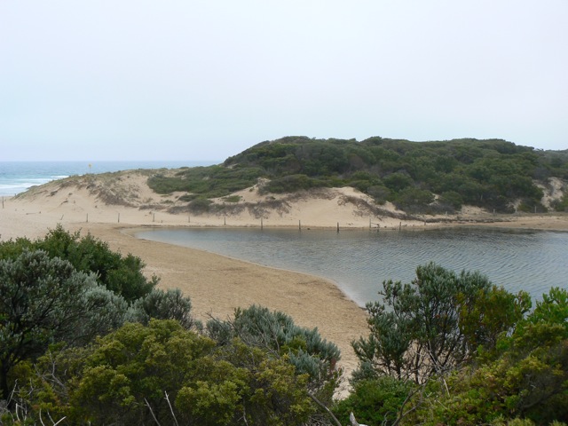
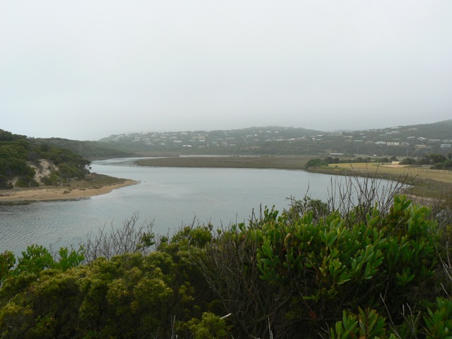
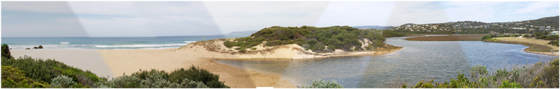
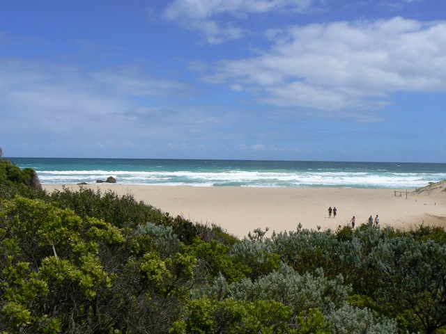
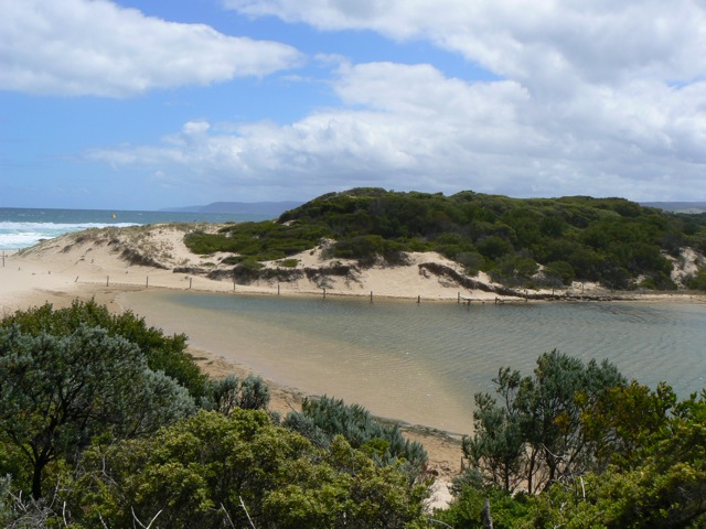
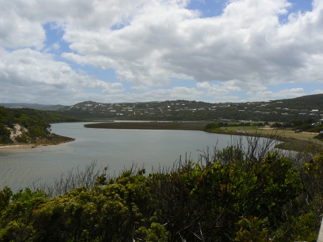
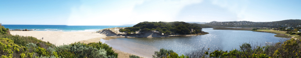
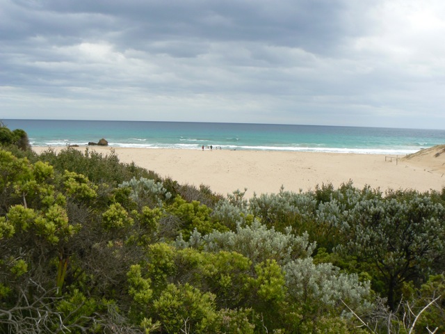
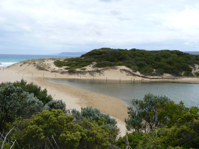
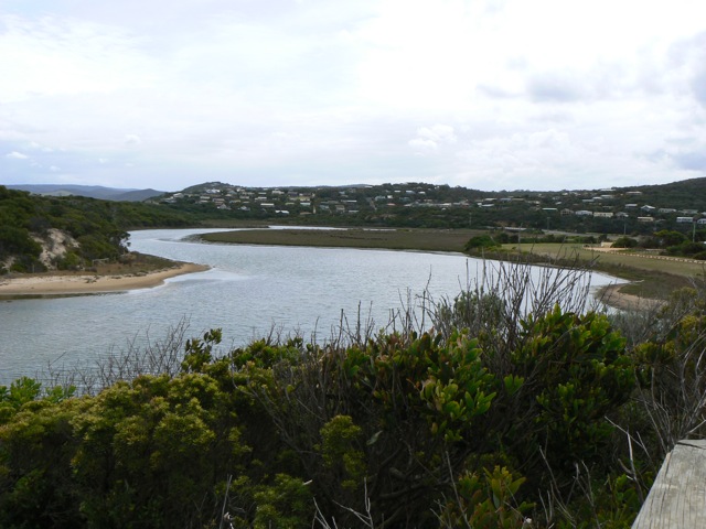
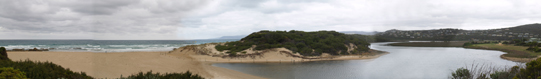
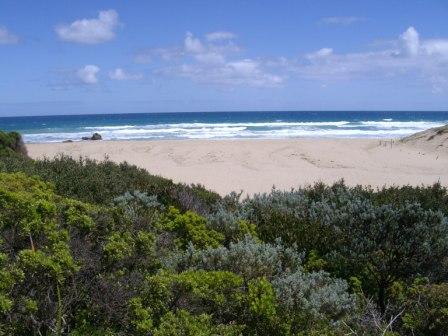
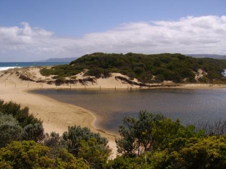
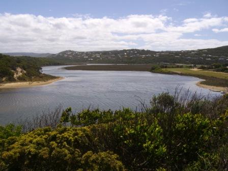
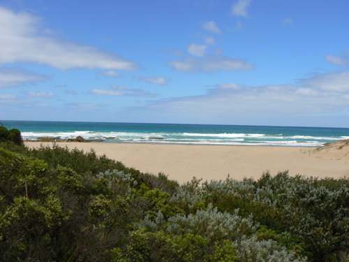
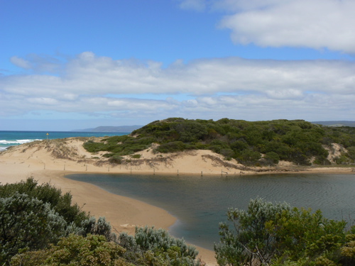
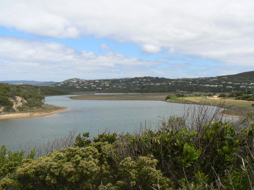
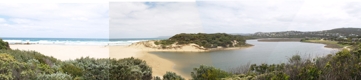
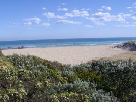
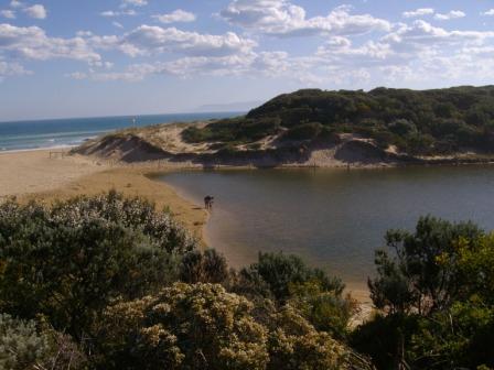
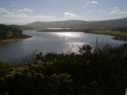
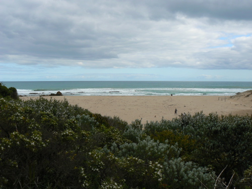
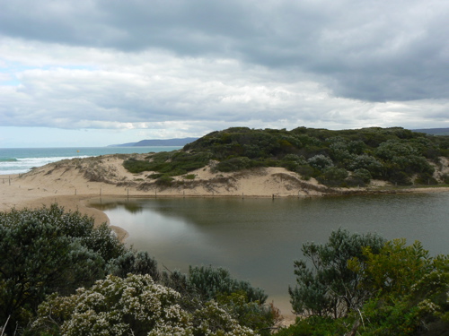
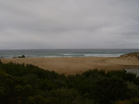
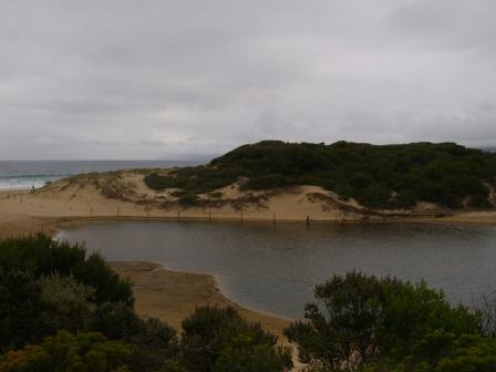
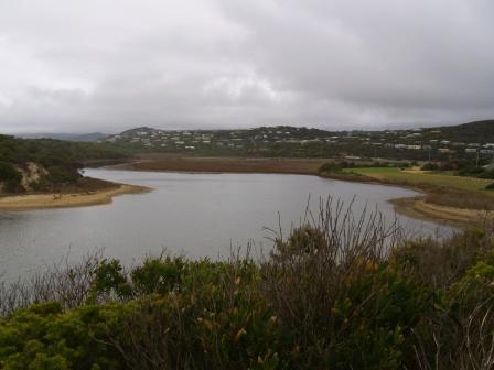
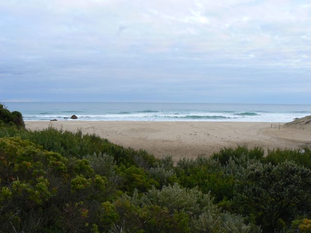
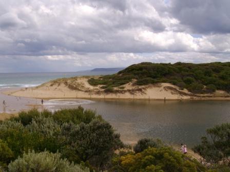
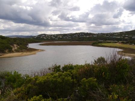
Active Mouth Condition 23-05-2007 - 11-03-2024Painkalac Creek Estuary
272 results found (Displaying 201 - 250)
| ID | Date | Status | Details | |
|---|---|---|---|---|
| #3170 | 13 Dec 2009 | Approved |
|
|
| #2812 | 14 Nov 2009 | Approved | Notes: Tide times: PPH plus 1hr for daylight saving minus 15 minutes for Aireys Inlet | |
| #2811 | 18 Oct 2009 | Approved |
Notes:
Tide times: PPH plus 1hr for daylight saving minus 15 minutes for Aireys Inlet. Water level in estuary appeared slightly higher than the level of the sea, but our methods of estimating the berm heights are so primitive that we couldn't determine the difference. |
|
| #2631 | 10 Oct 2009 | Approved |
Notes:
Tide times: PPH plus 1hr for daylight saving minus 15 minutes for Aireys Inlet. Estuary opened artificially on 5/10/09 4 photographs to upload |
|
| #2622 | 26 Sep 2009 | Approved |
Notes:
Tide times: PPH minus 15mins for Aireys Inlet 6 Photographs to be uploaded to this record |
|
| #2507 | 18 Sep 2009 | Approved | ||
| #2521 | 11 Sep 2009 | Approved |
Notes:
Tide times are PPHeads minus 15mins for Aireys Inlet
         |
|
| #2621 | 27 Aug 2009 | Approved | Notes: Tide times: PPH minus 15mins for Aireys Inlet. | |
| #2322 | 15 Aug 2009 | Approved |
Notes:
tide times PPH minus 17 mins for Aireys Inlet Photos (3) to be uploaded by CCMA |
|
| #2264 | 26 Jul 2009 | Approved | Notes: Tide times: PPHeads minus 15mins for Aireys Inlet | |
| #2323 | 12 Jul 2009 | Approved |
Notes:
tide times PPH minus 17 mins for Aireys Inlet Photos (3) to be uploaded by CCMA |
|
| #2321 | 16 May 2009 | Approved | Notes: tide times PPH minus 15mins for Aireys Inlet | |
| #2324 | 9 May 2009 | Approved |
Notes:
Tide times PPH minus 15 mins for Aireys Inlet Photos (4) to be uploaded by CCMA |
|
| #1861 | 26 Apr 2009 | Approved |
Notes:
Water level below gauge board. Estimated 80-85cm. Tide times: PPHeads less 15 mins Berm height above estuary. Too wet under foot to make an estimate (see photos of inflow from sea) |
|
| #1822 | 30 Mar 2009 | Approved |
Notes:
Water level below gauge board Tide times: PPHeads plus 1hr for daylight saving time, minus 15 mins for Aireys Inlet |
|
| #1782 | 16 Mar 2009 | Approved |
Notes:
Water level: below gauge, estimate only Tide times: PPH plus 1hour (daylight saving time), minus 15 mins (Aireys Inlet) |
|
| #1661 | 4 Mar 2009 | Approved |
Notes:
Water level below bottom of gauge board. Height is only a rough estimate. Tide times PPH minus 15 mins, plus 1hr for daylight saving time |
|
| #1701 | 23 Feb 2009 | Approved |
Notes:
About 2 hours after front crossed the area. Water height at the GOR bridge is below the scaleboard. |
|
| #1707 | 15 Feb 2009 | Approved |
|
|
| #1561 | 2 Feb 2009 | Approved | Notes: Tide times are based on PPHeads minus 15mins plus 1hr for Eastern Daylight Savings time | |
| #1706 | 23 Jan 2009 | Approved | Notes: One hour added for daylight savings | |
| #1548 | 11 Jan 2009 | Approved |
|
|
| #1423 | 2 Jan 2009 | Approved | Notes: Tide times based on PPHeads minus 15mins | |
| #1546 | 24 Dec 2008 | Approved | ||
| #1407 | 14 Dec 2008 | Approved |
Notes:
Airley's Inlet has recorded it's highest December rainfall on record - 100mm the day before the reading were conducted.
|
|
| #1362 | 2 Dec 2008 | Approved | ||
| #1408 | 24 Nov 2008 | Approved | ||
| #1330 | 16 Nov 2008 | Approved | ||
| #1181 | 4 Nov 2008 | Approved | ||
| #1331 | 22 Oct 2008 | Approved | ||
| #1329 | 11 Oct 2008 | Approved | ||
| #1103 | 30 Sep 2008 | Approved | Notes: Tide times PPHeads minus 15mins | |
| #1332 | 23 Sep 2008 | Approved | ||
| #994 | 14 Sep 2008 | Approved | ||
| #998 | 1 Sep 2008 | Approved |
Notes:
Tide tides have been adjusted as per PHH -15 mins.
|
|
| #938 | 31 Aug 2008 | Approved |
|
|
| #999 | 20 Aug 2008 | Approved | Notes: * Wind was gusty. Sea was slight at sea but with steep fronted breakers arriving at the beach | |
| #921 | 9 Aug 2008 | Approved | ||
| #939 | 20 Jul 2008 | Approved |
|
|
| #940 | 12 Jul 2008 | Approved |
|
|
| #941 | 3 Jul 2008 | Approved | ||
| #681 | 24 Jun 2008 | Approved |
Notes:
Water level below new 1-2m gaugeboard on post, therefore estimated water level at 96cm. Tide times: Time at PPHeads minus 15 minutes |
|
| #950 | 14 Jun 2008 | Approved | ||
| #953 | 28 May 2008 | Approved | ||
| #655 | 10 May 2008 | Approved | ||
| #442 | 29 Apr 2008 | Approved |
Notes:
No estimate made of berm height. One of the observers is currently disabled and unable to access beach. Water levels shown here are those indicated on the newly installed post gauge board (no correction factor has been applied). Tide times are based on PPHeads, minus 15mins |
|
| #653 | 22 Apr 2008 | Approved | ||
| #656 | 11 Apr 2008 | Approved | Notes: water below gauge | |
| #654 | 3 Apr 2008 | Approved | ||
| #651 | 25 Mar 2008 | Approved |
Notes:
Water breaking over the berm at high tide. Water level below gauge board. |
|


All content, files, data and images provided by the EstuaryWatch Data Portal and Gallery are subject to a Creative Commons Attribution License
Content is made available to be used in any way, and should always attribute EstuaryWatch and www.estuarywatch.org.au