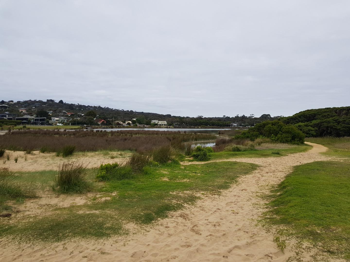
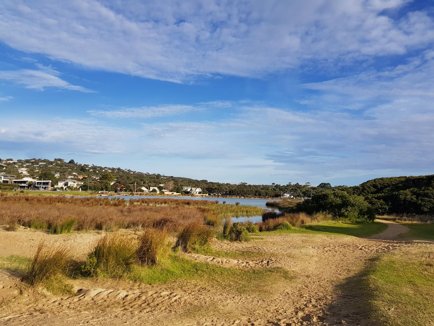
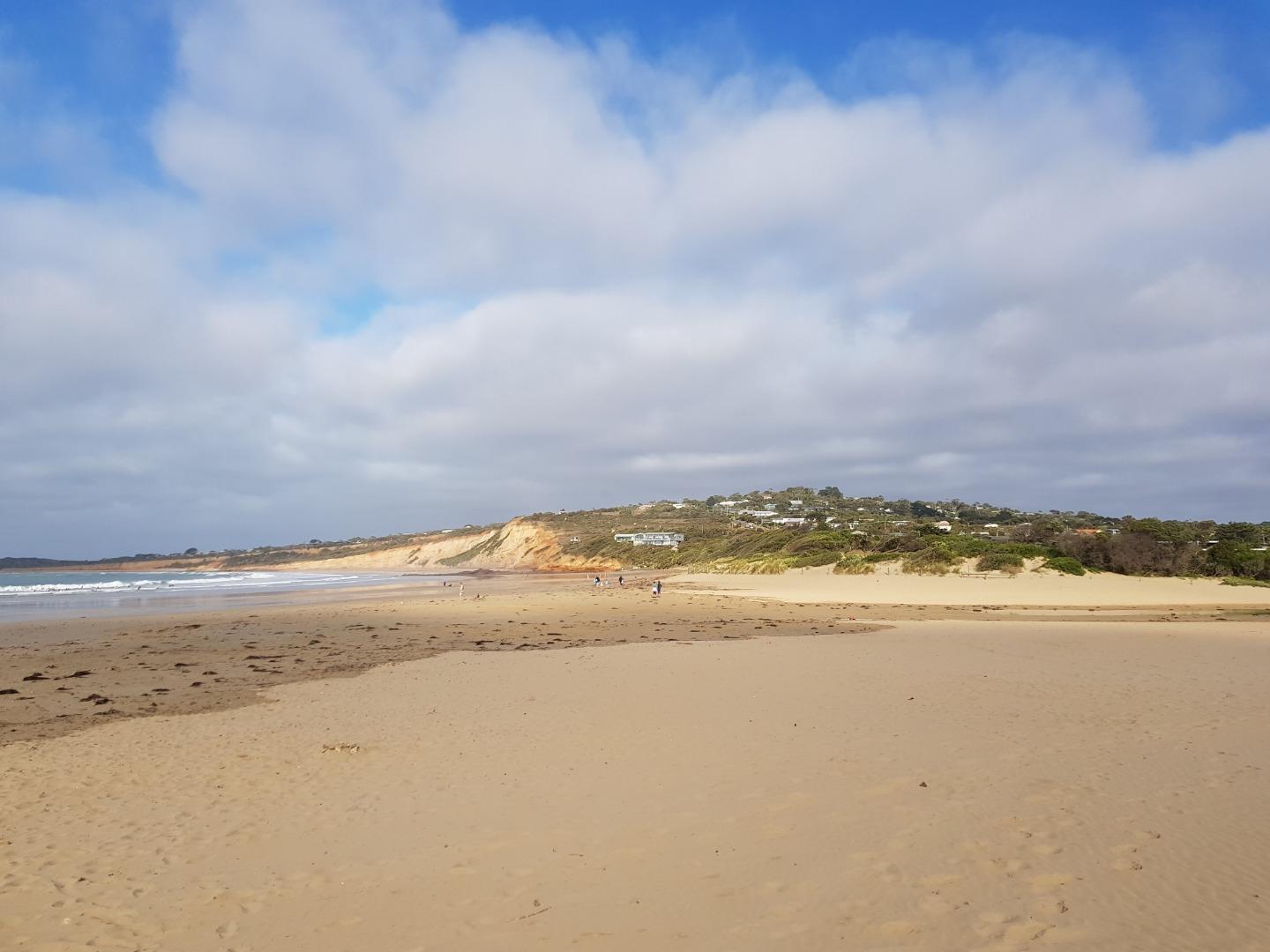
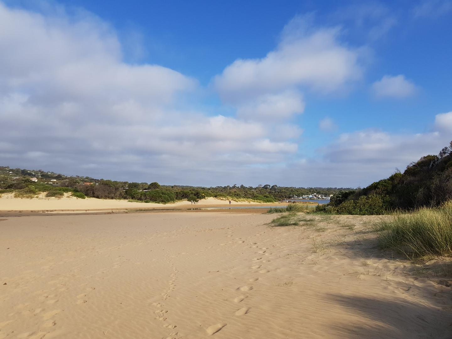
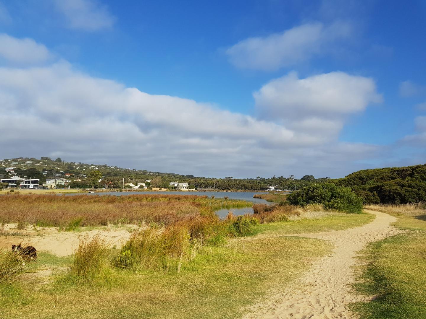
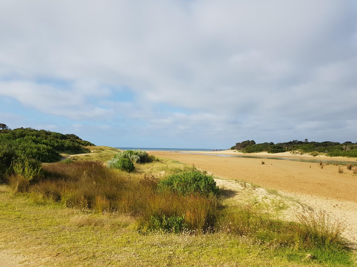
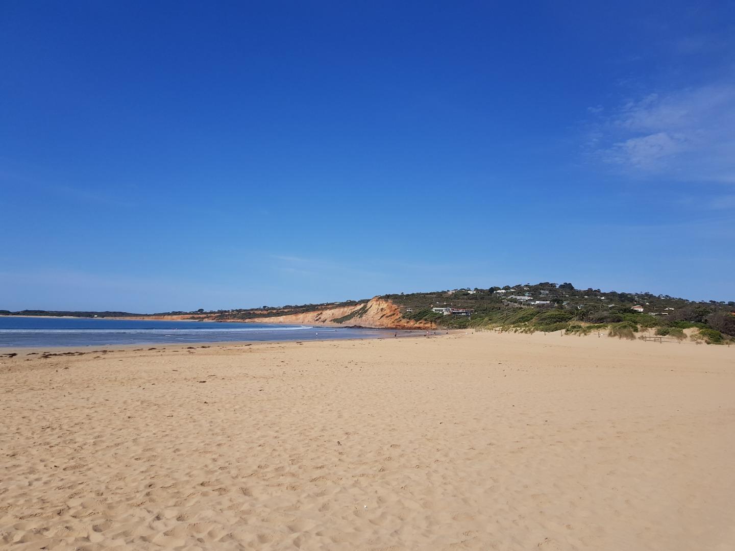
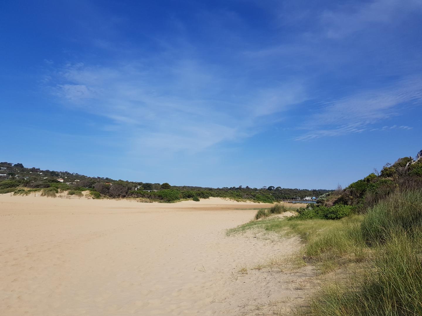
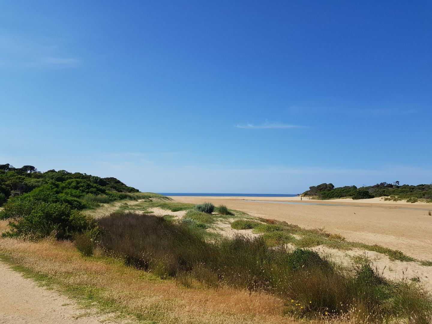
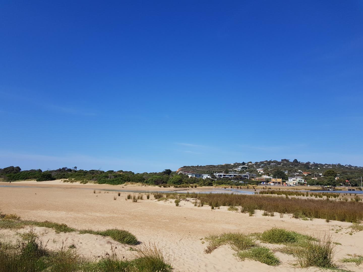
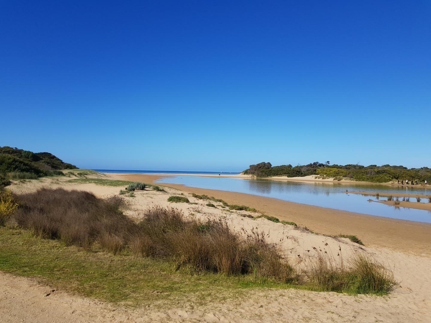
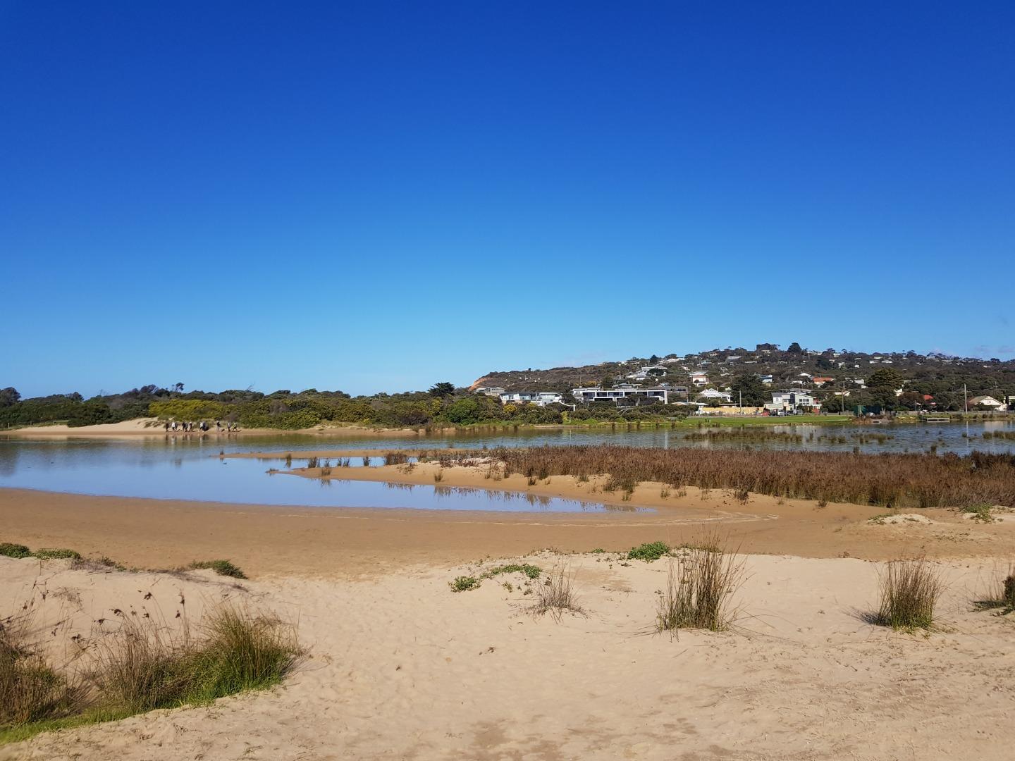
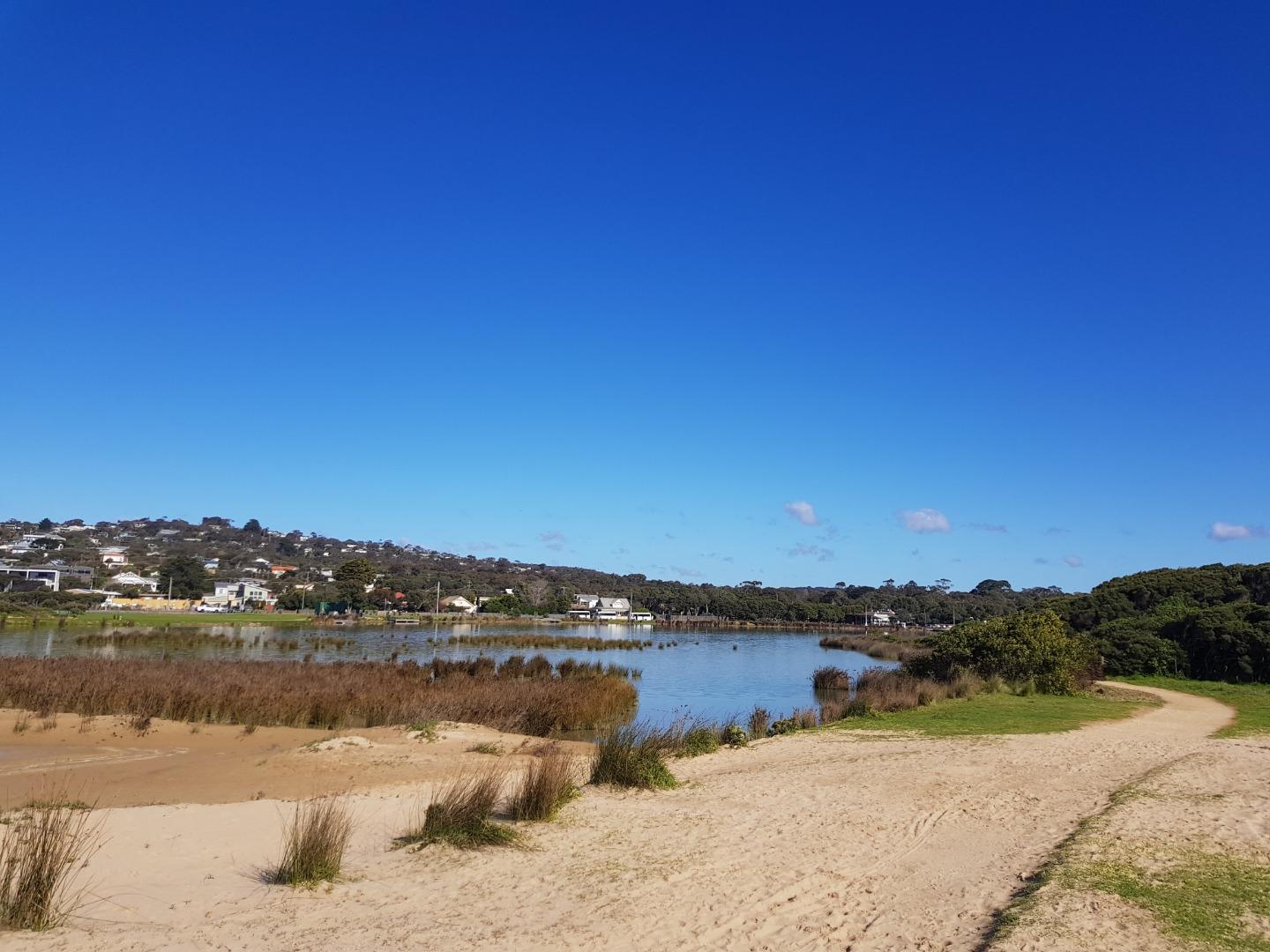
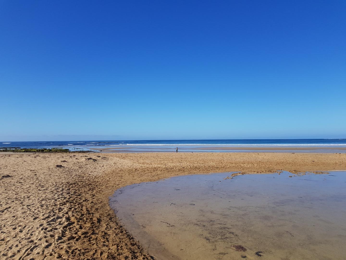
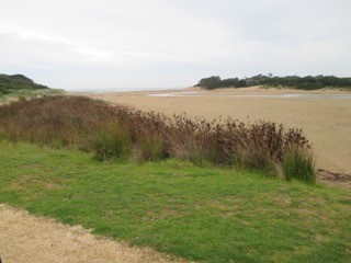
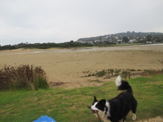
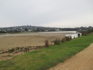
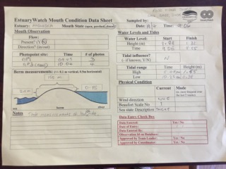
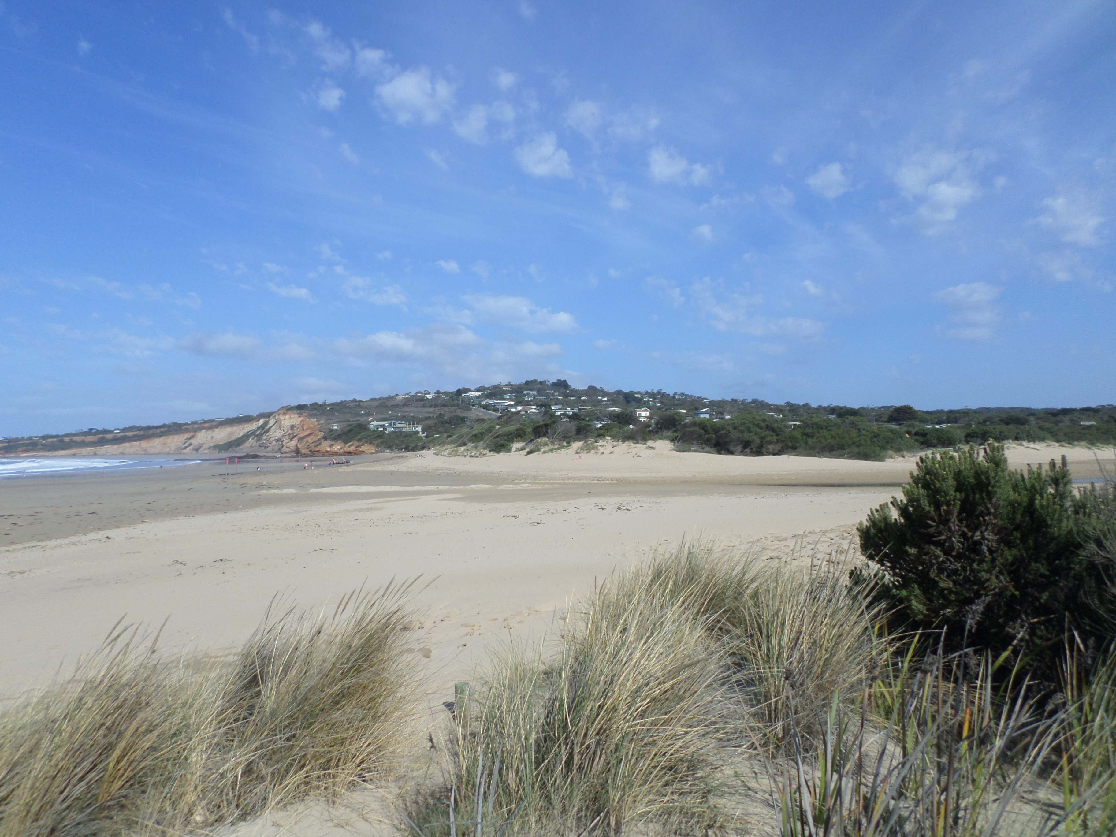
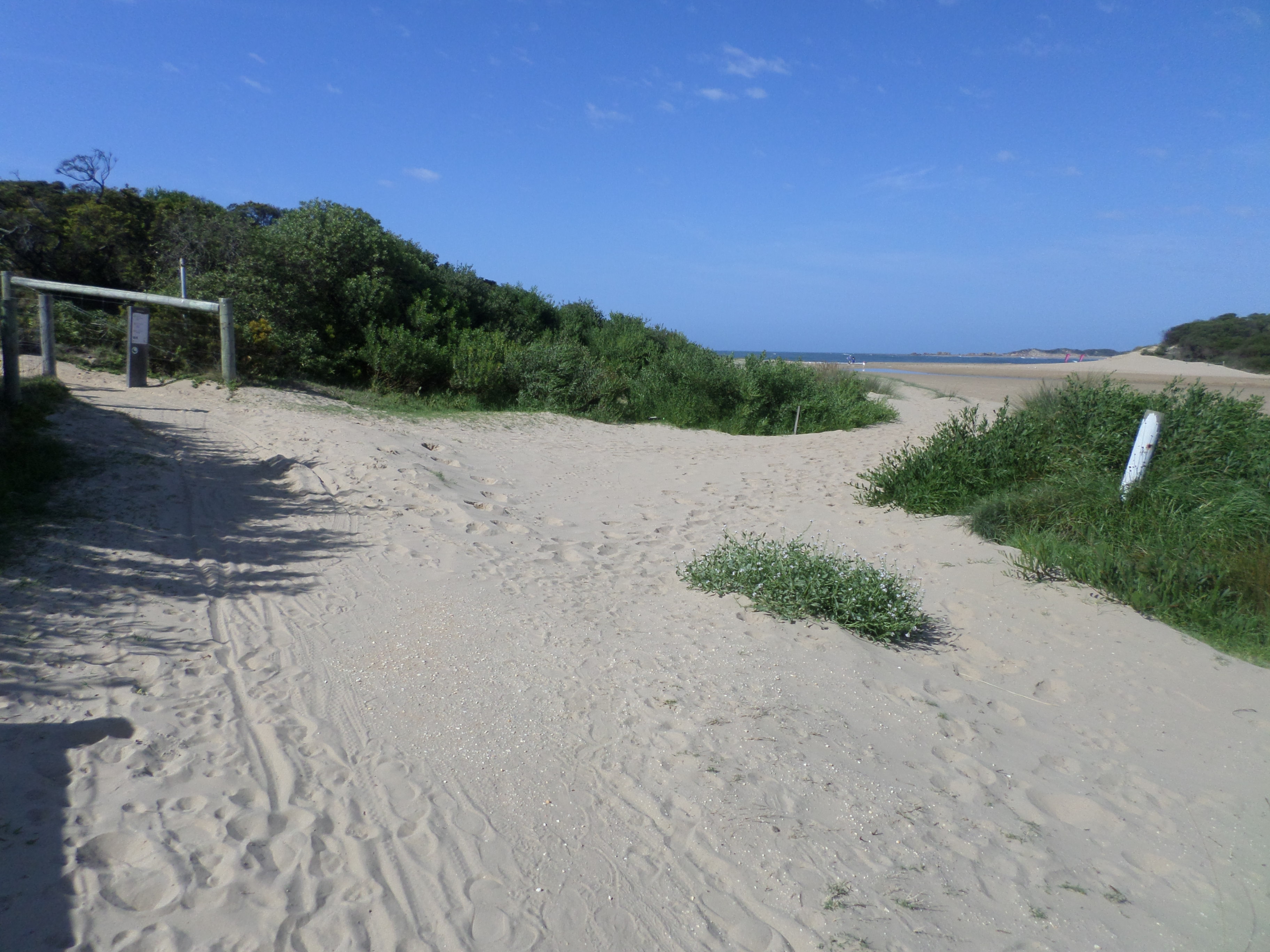
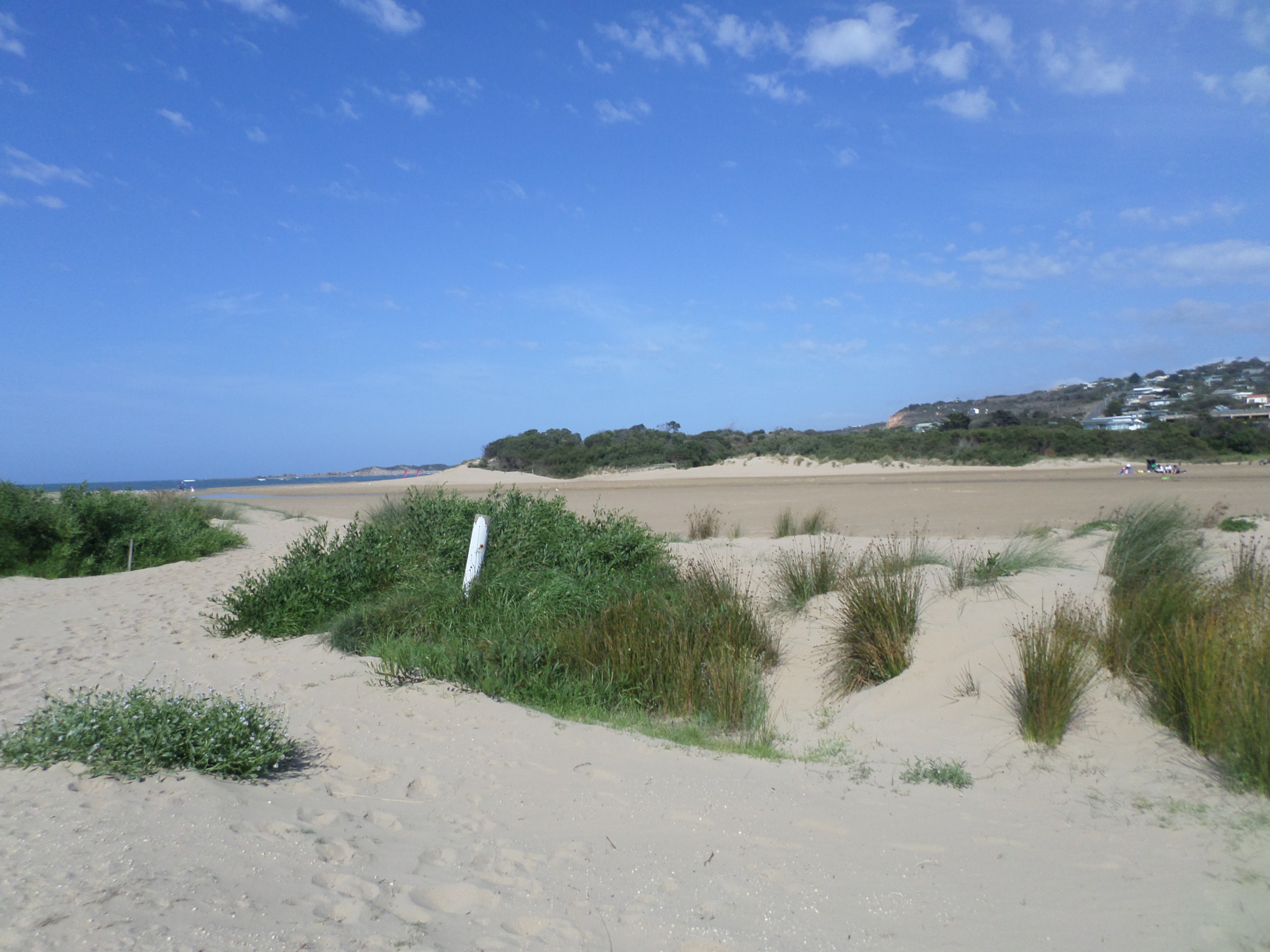
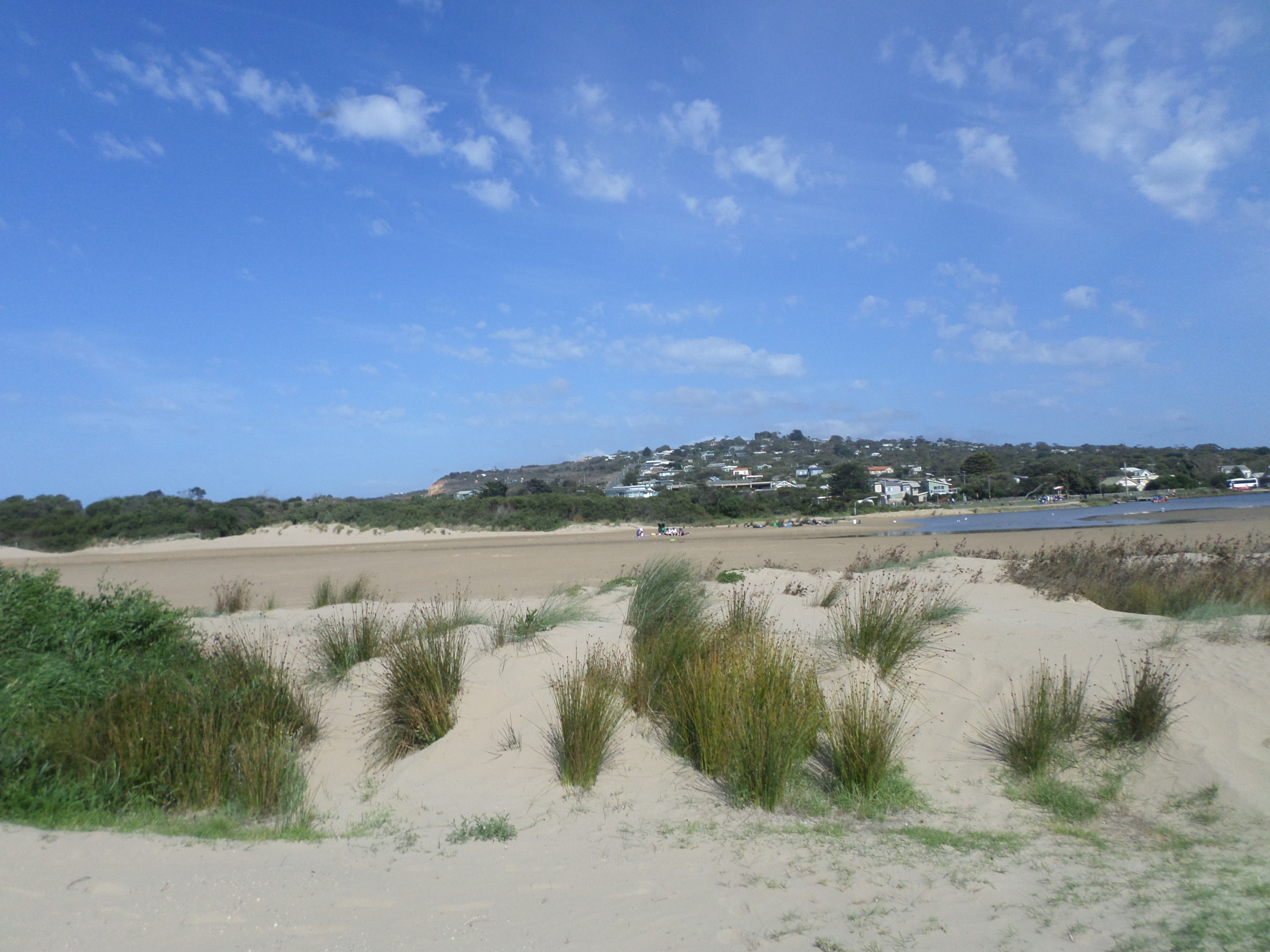
EstuaryWatch Data Portal
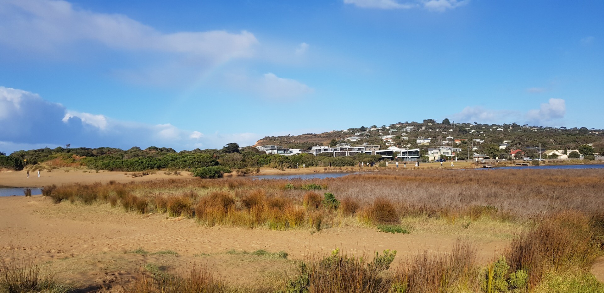
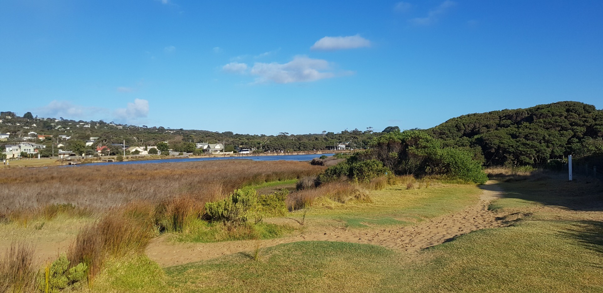
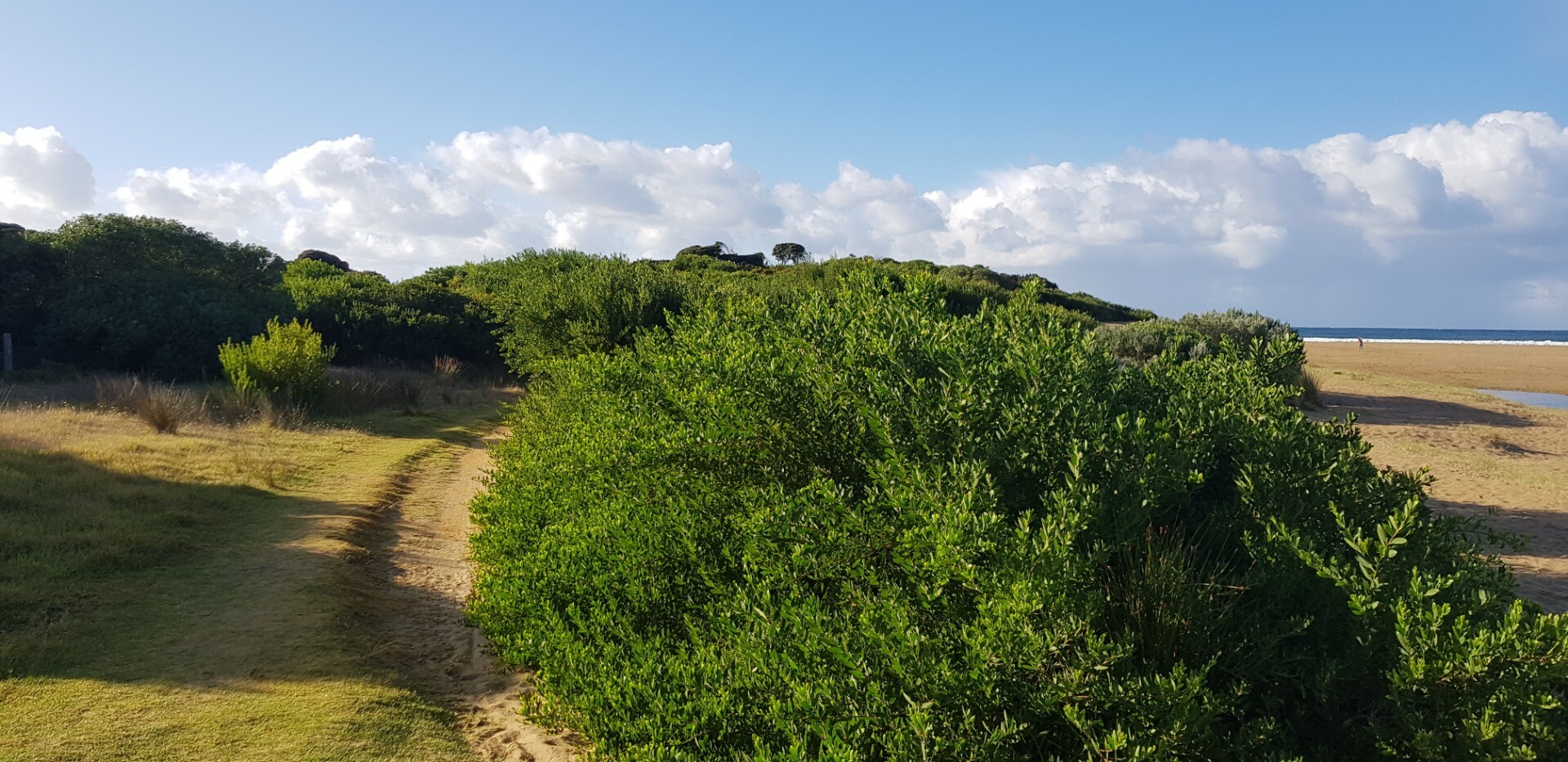
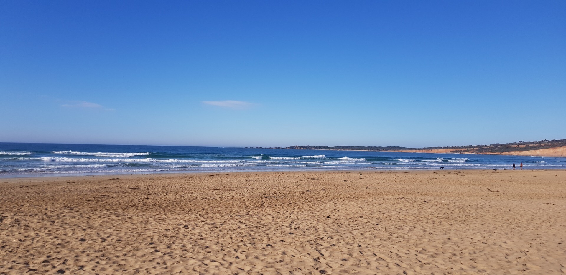
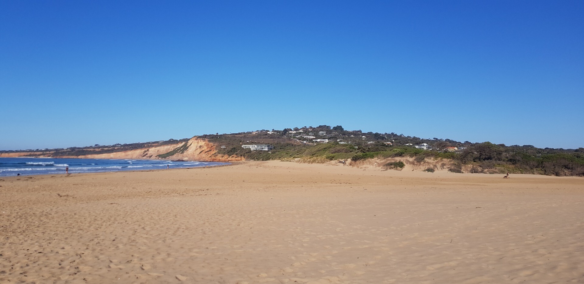
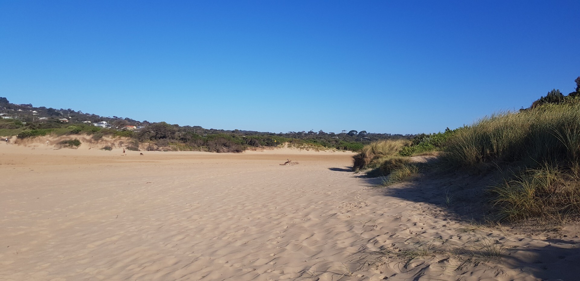
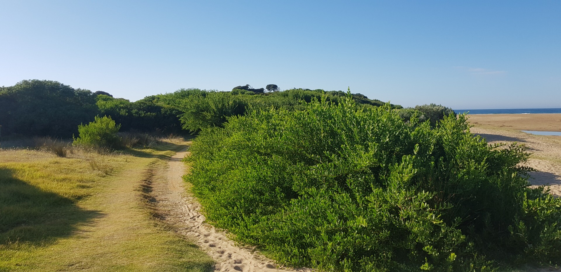
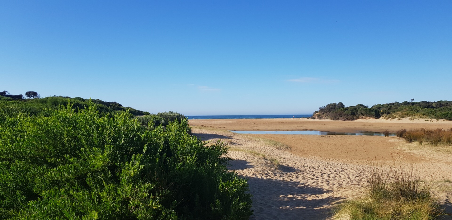
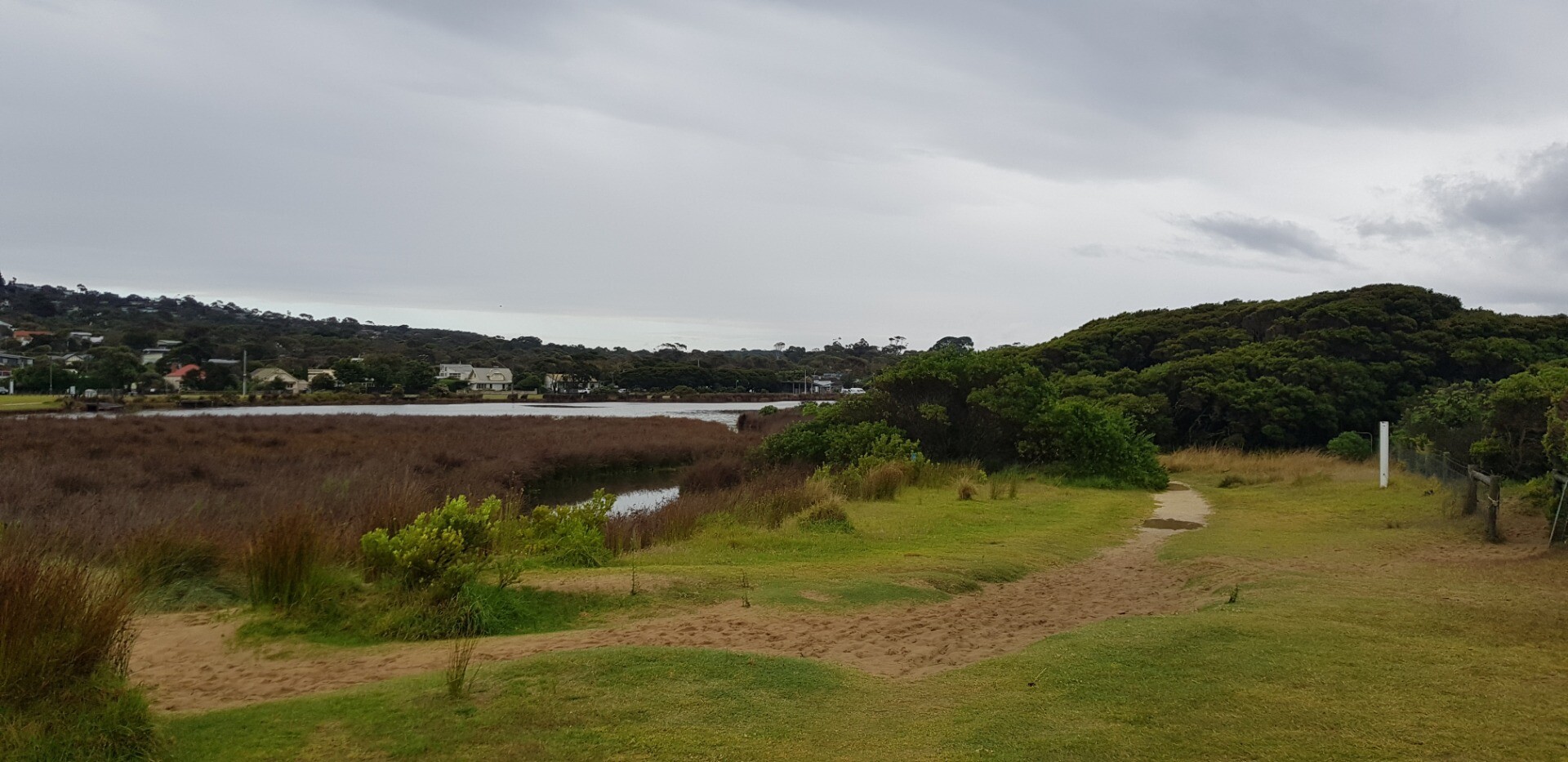
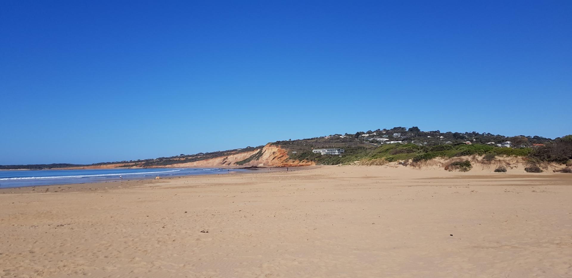
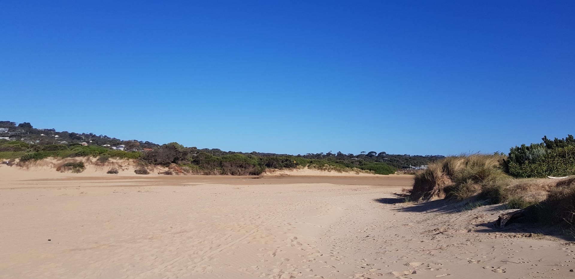
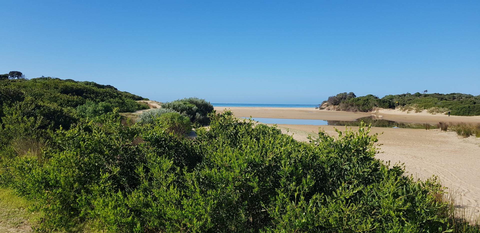
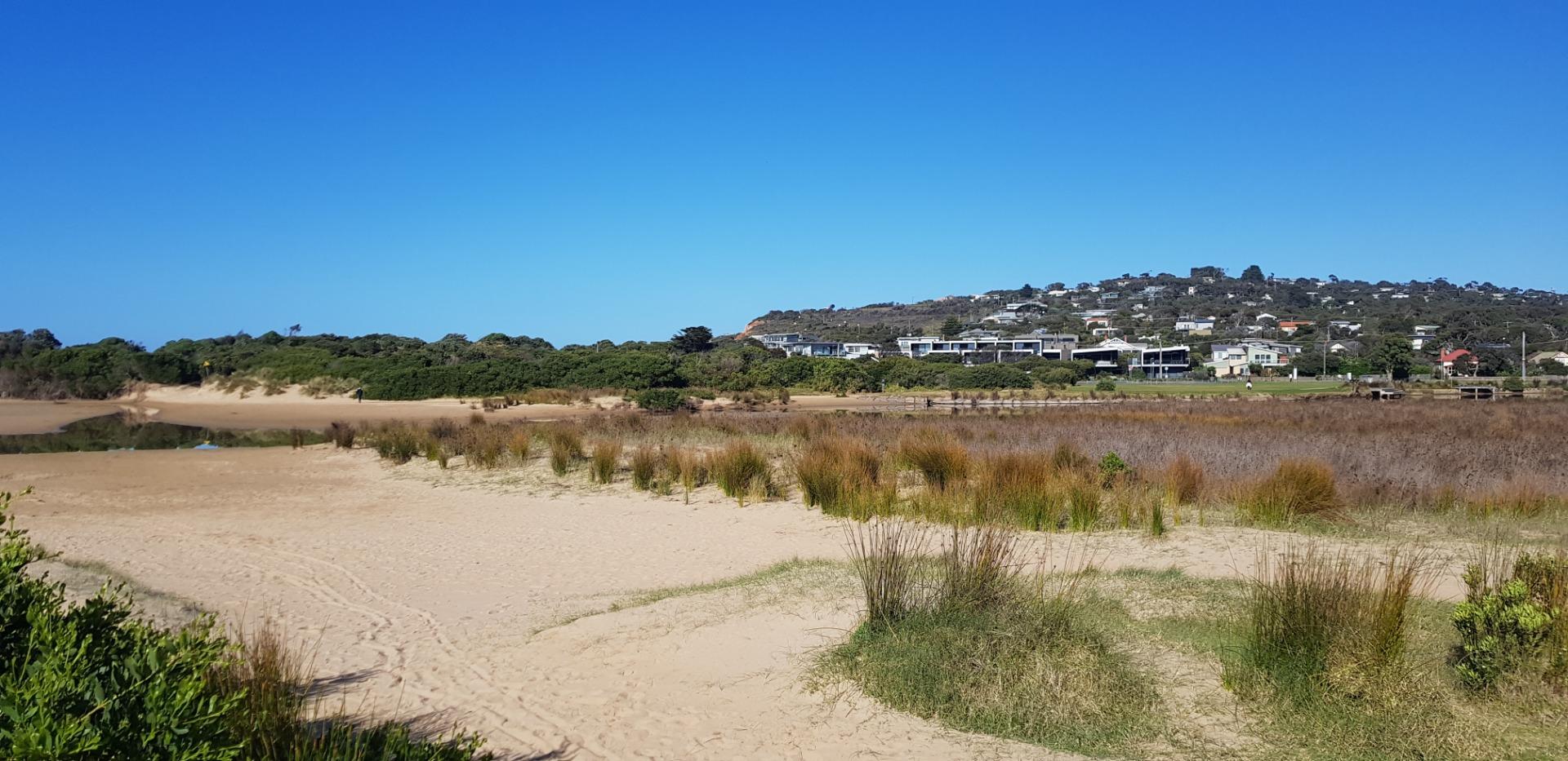
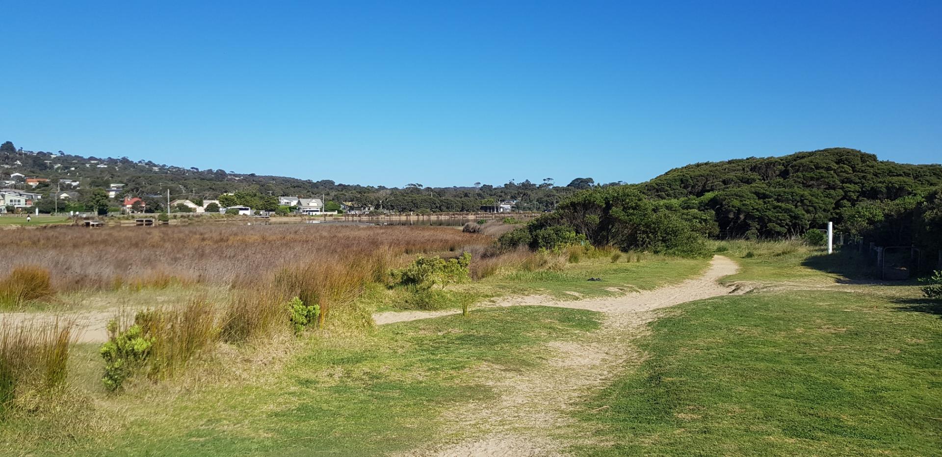
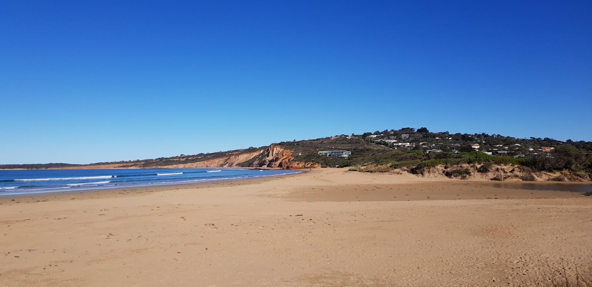
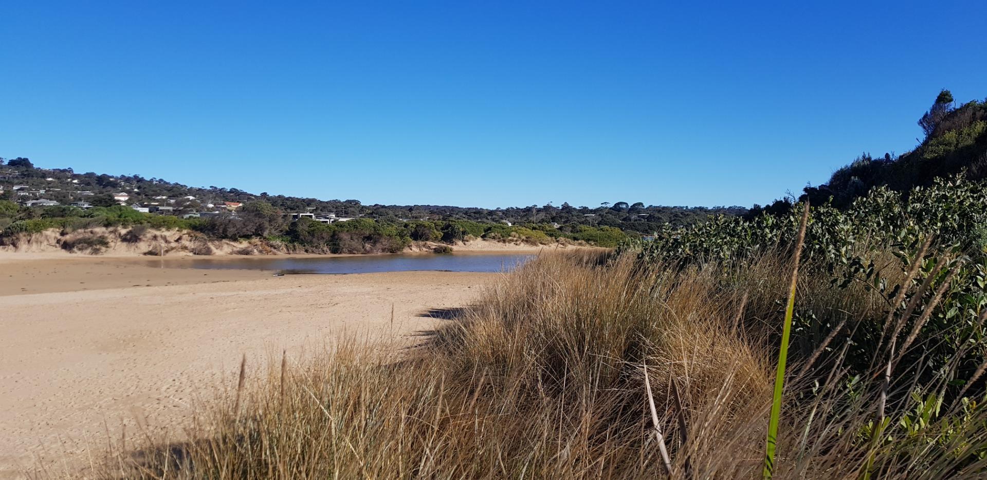
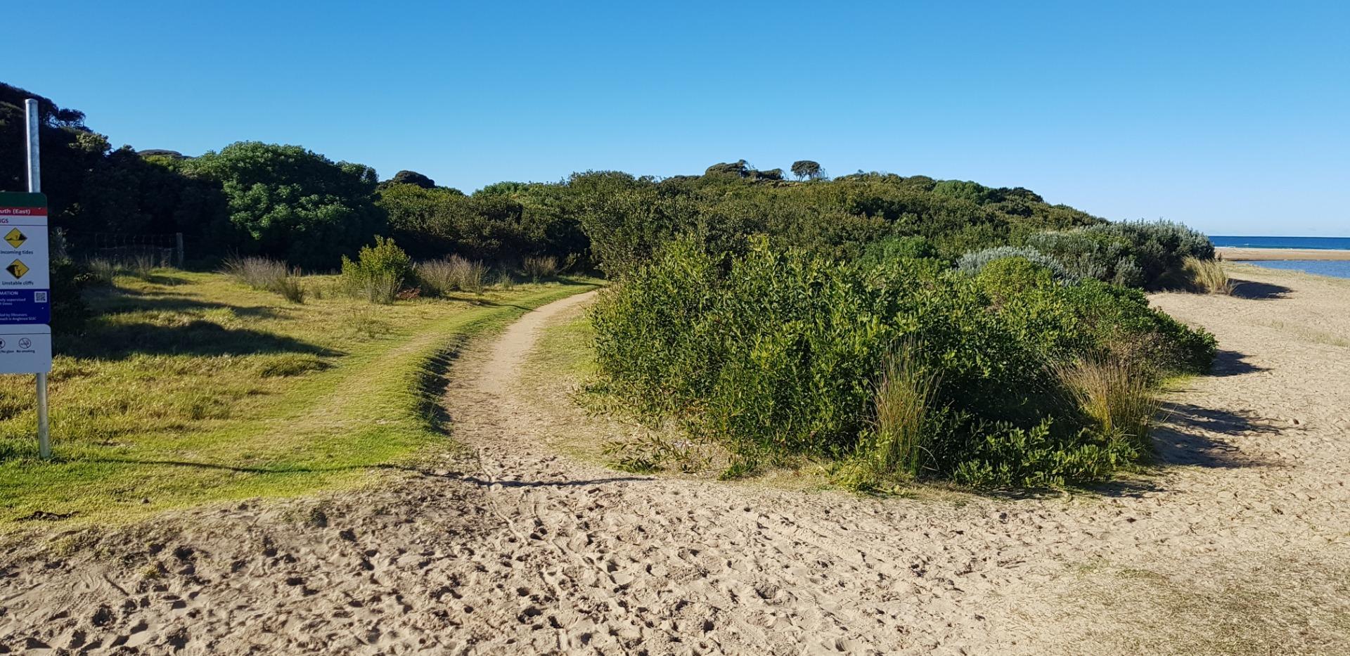
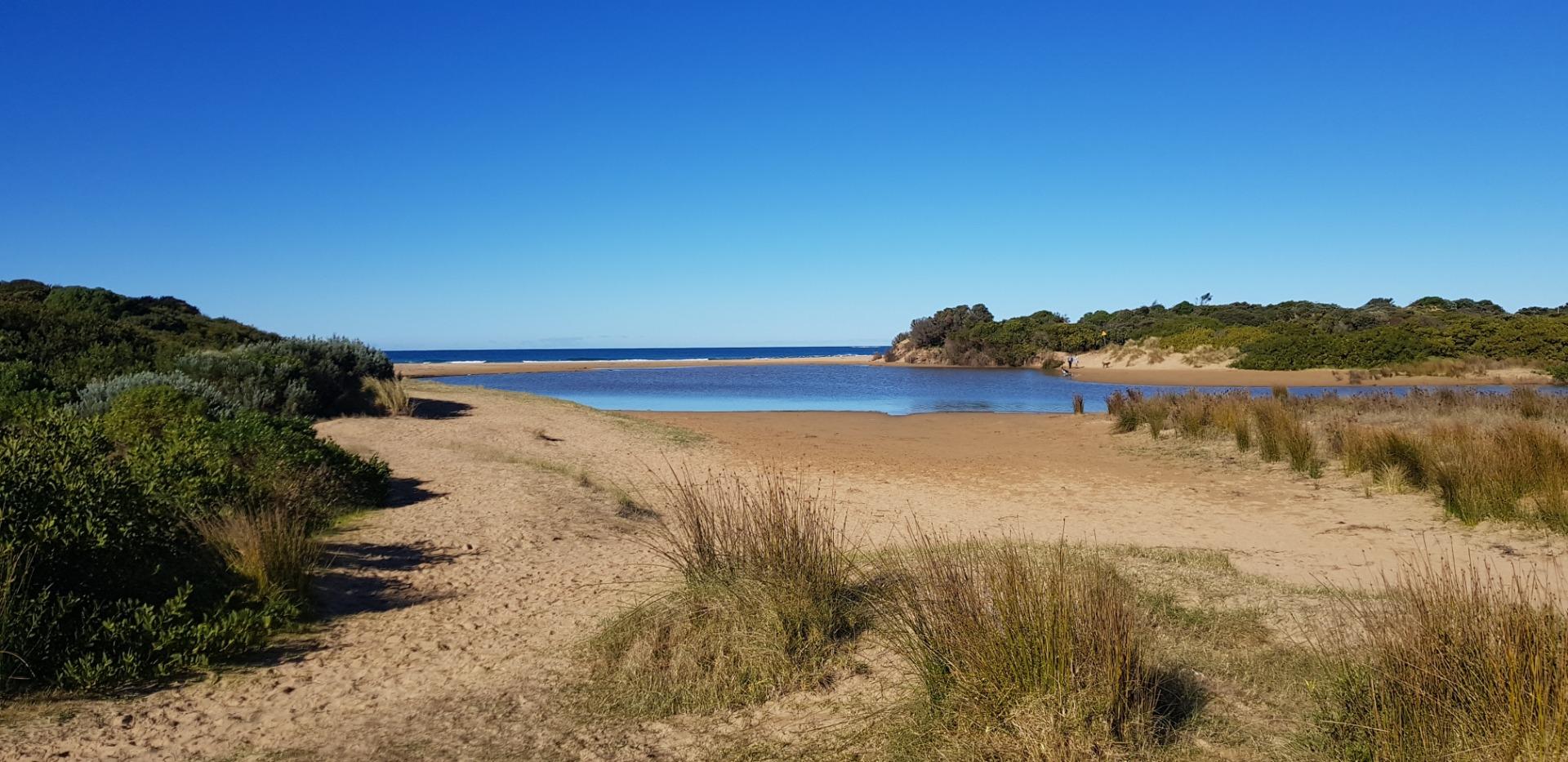
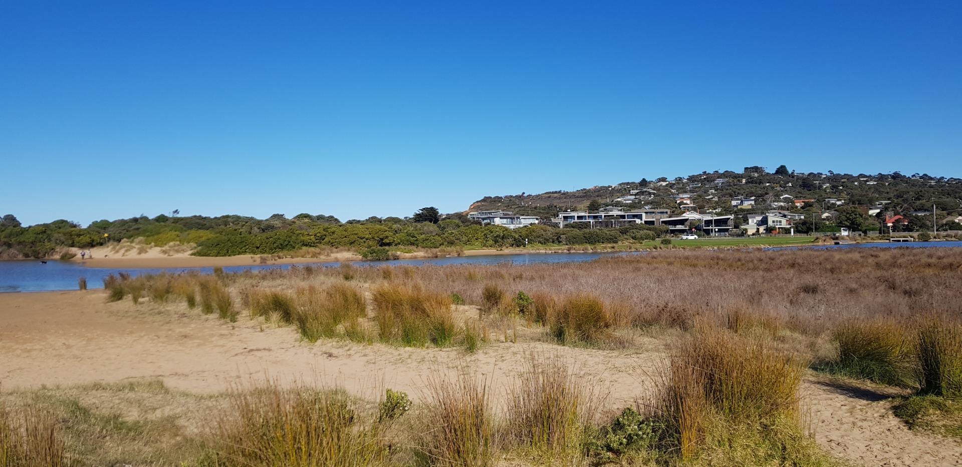
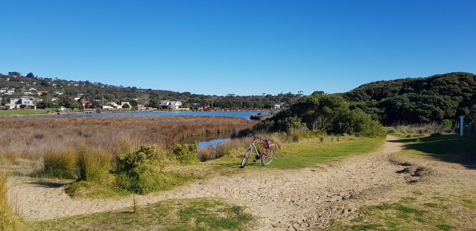
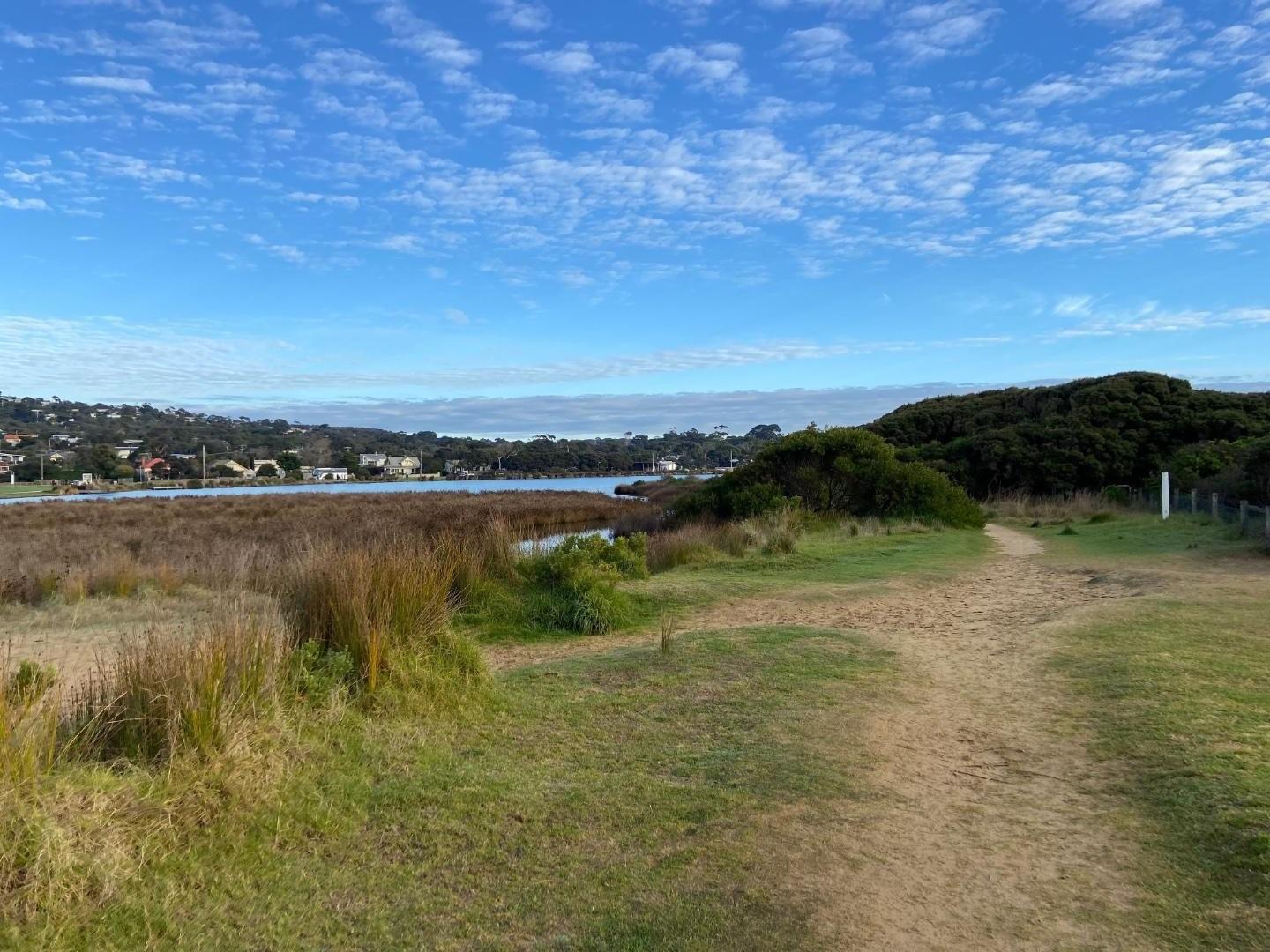
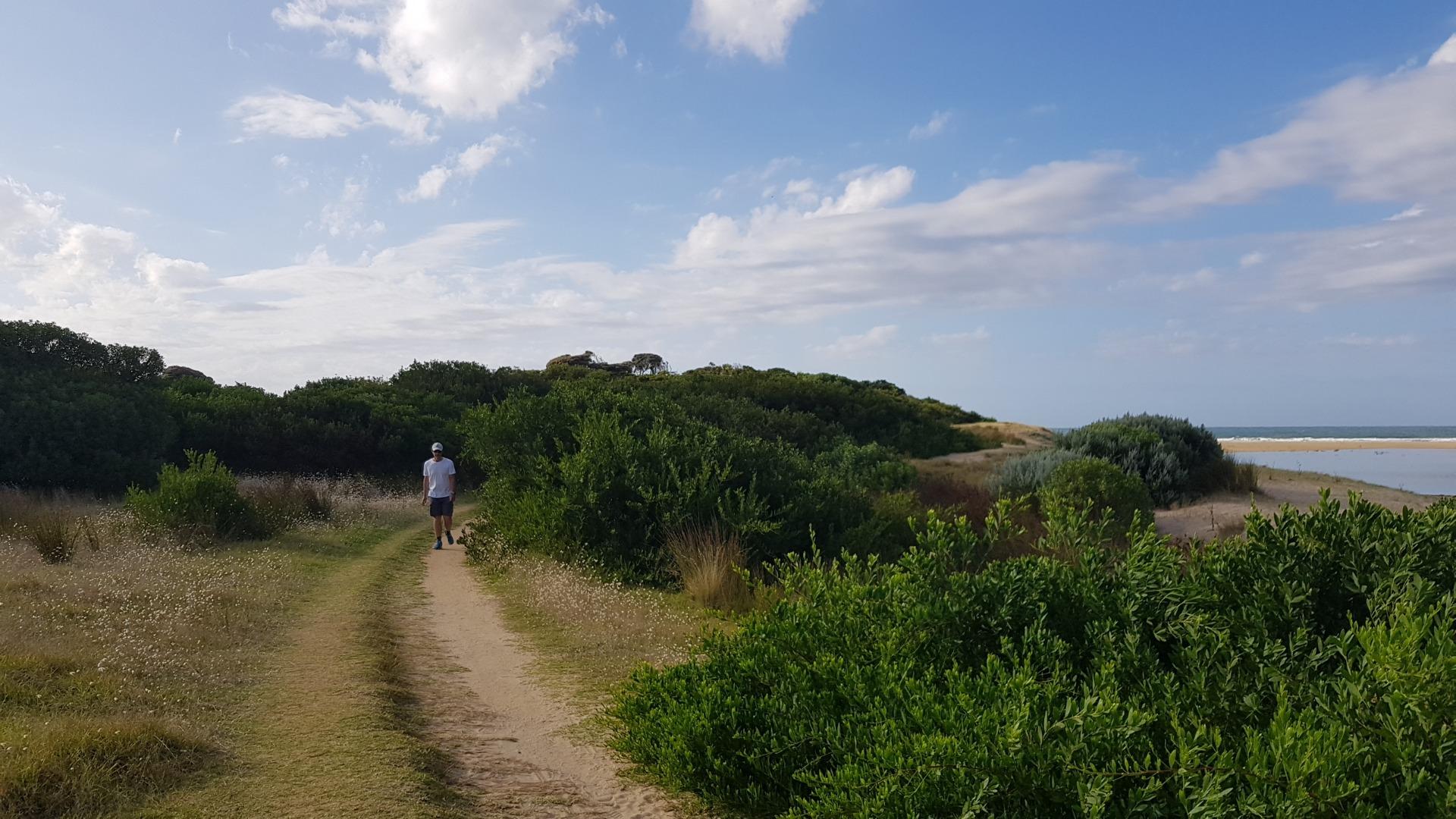
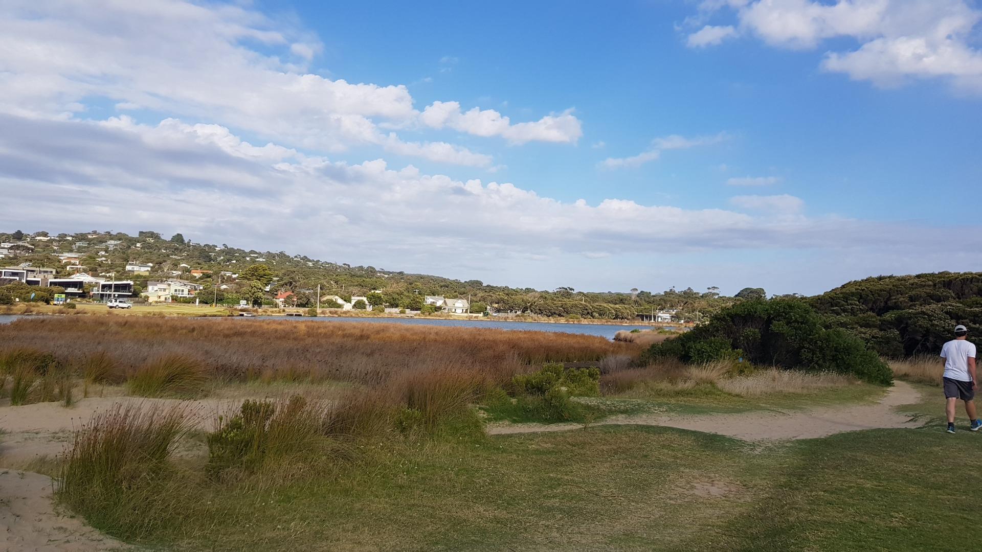
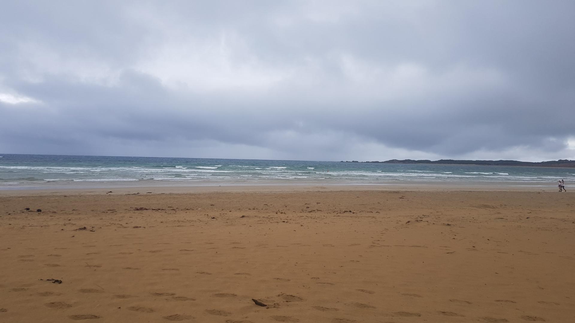
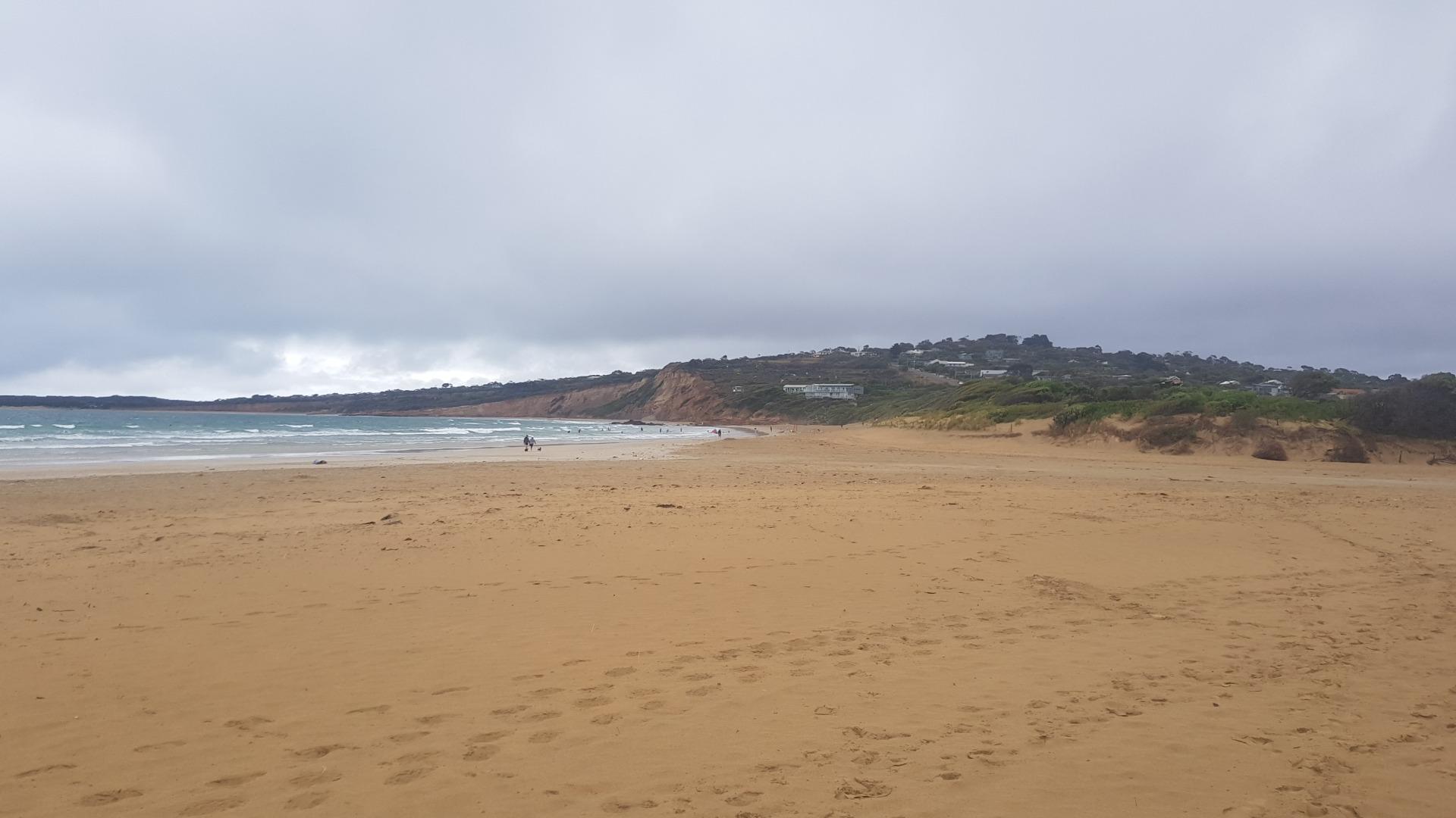
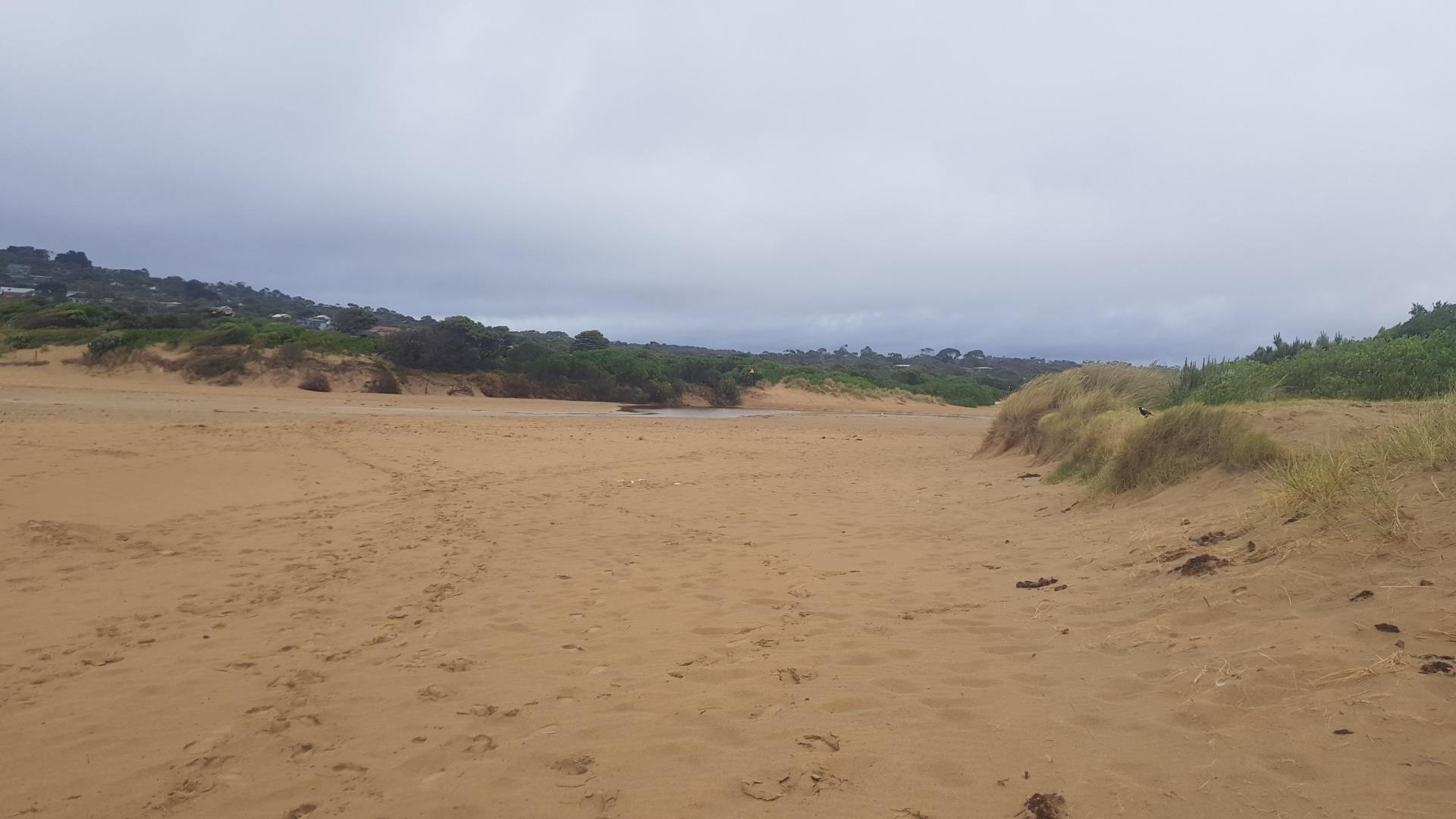
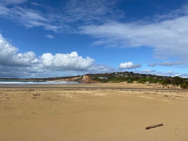
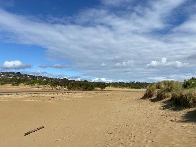
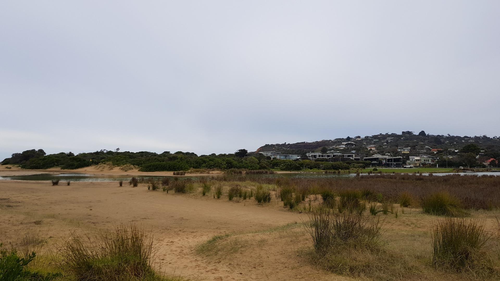
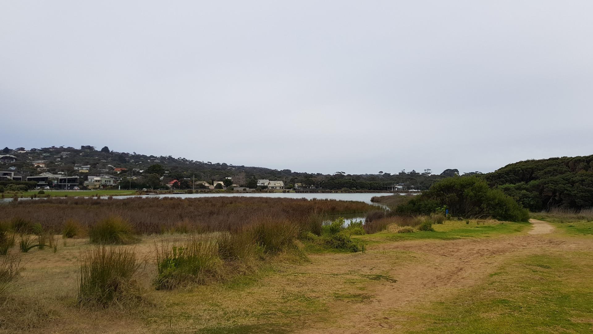
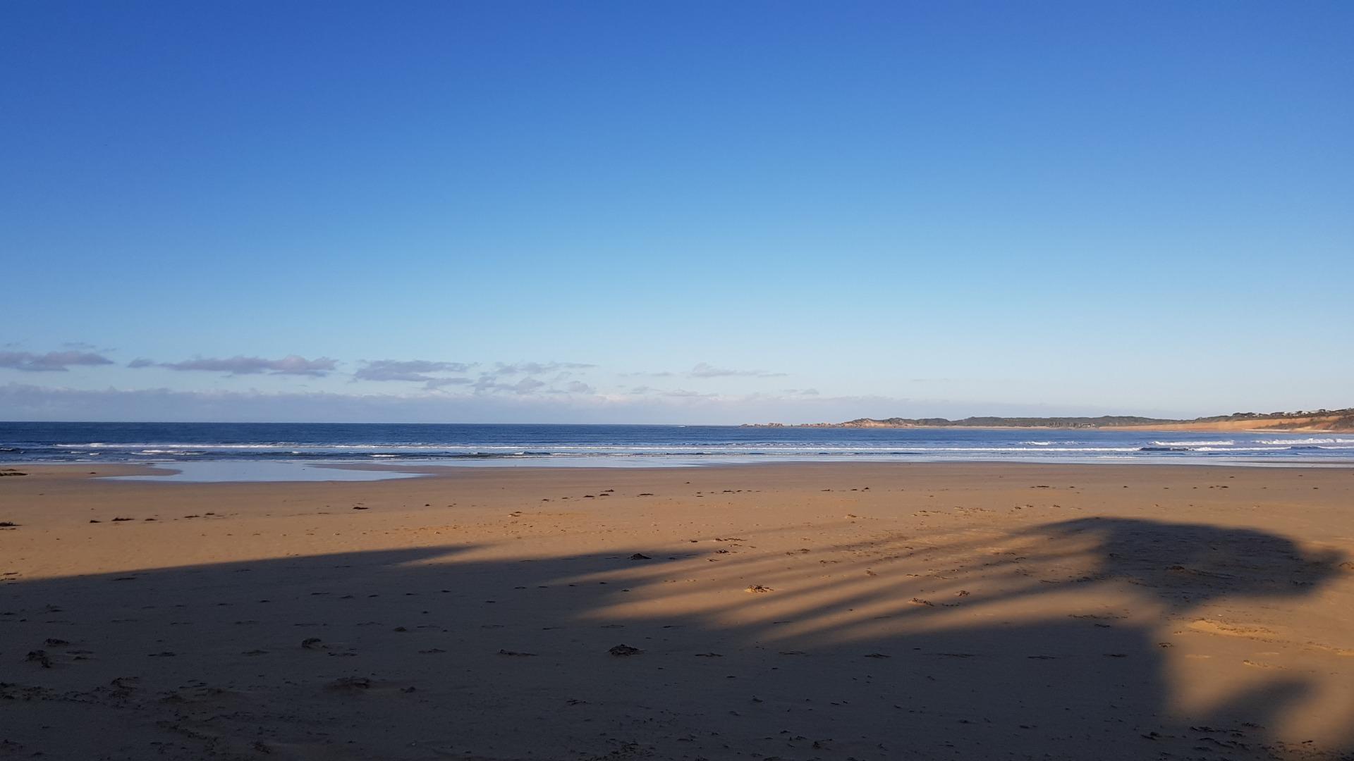
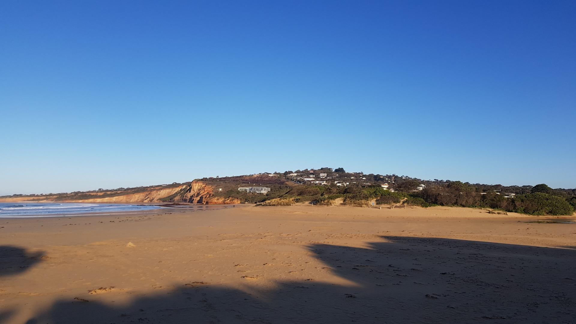
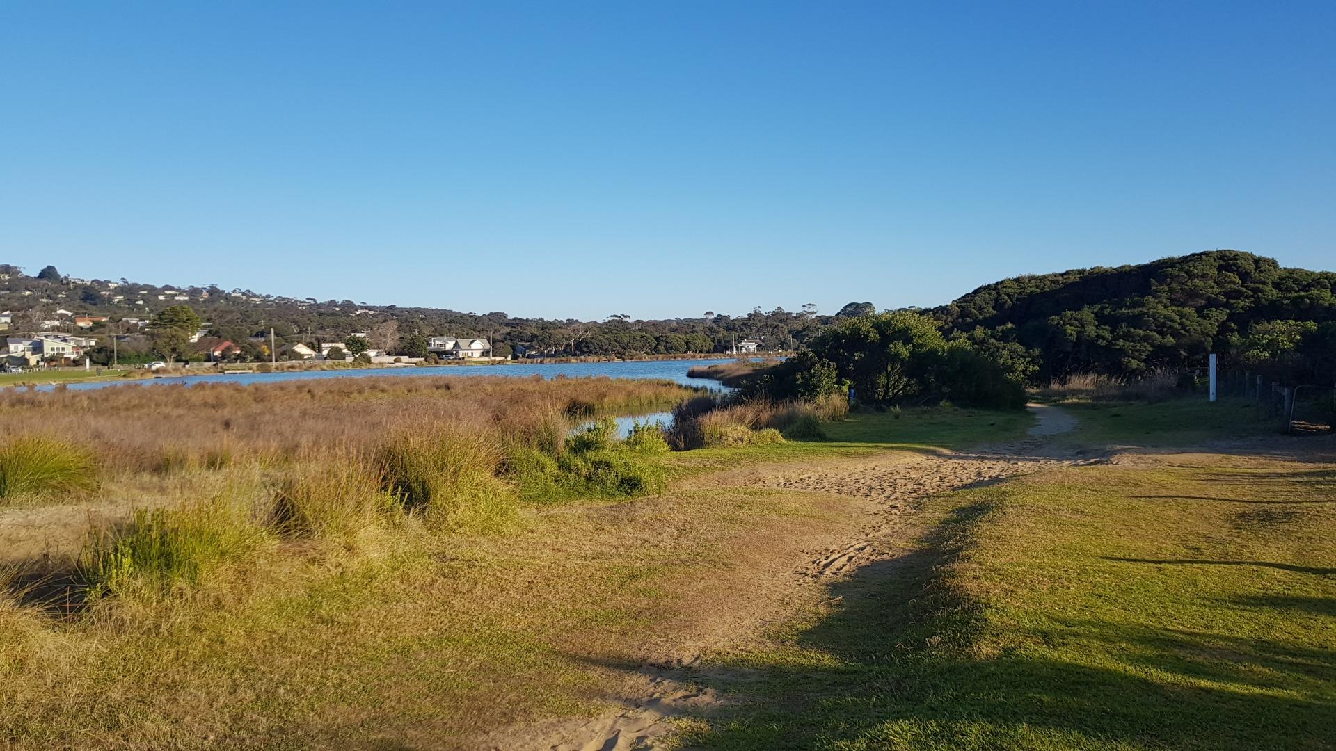
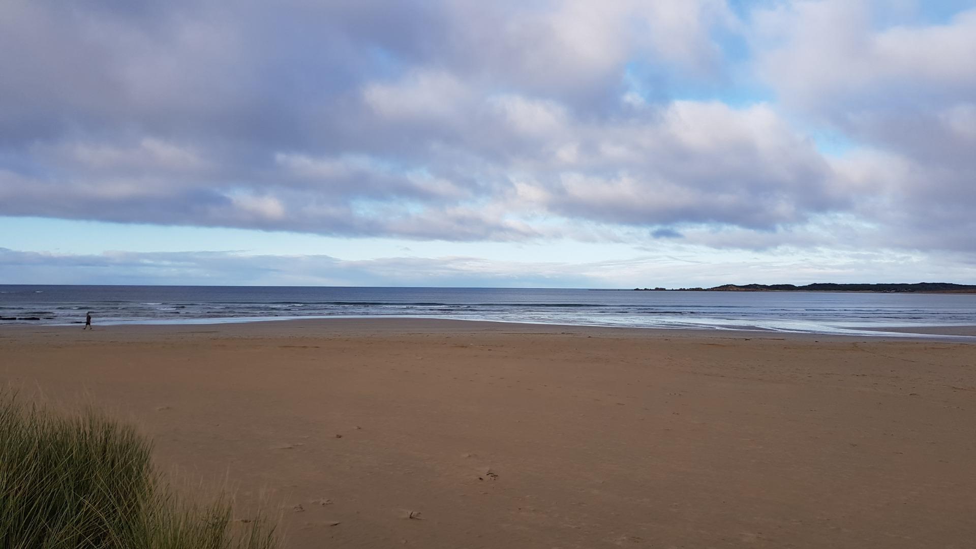
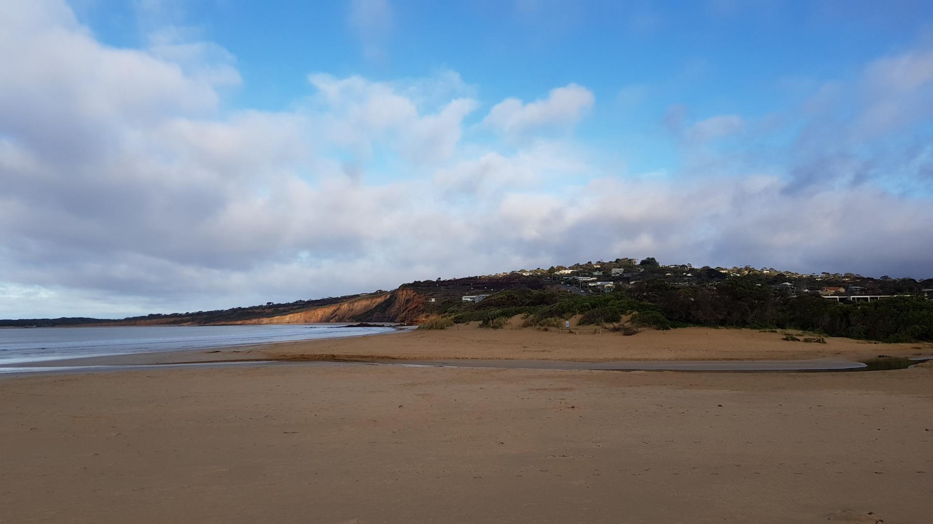
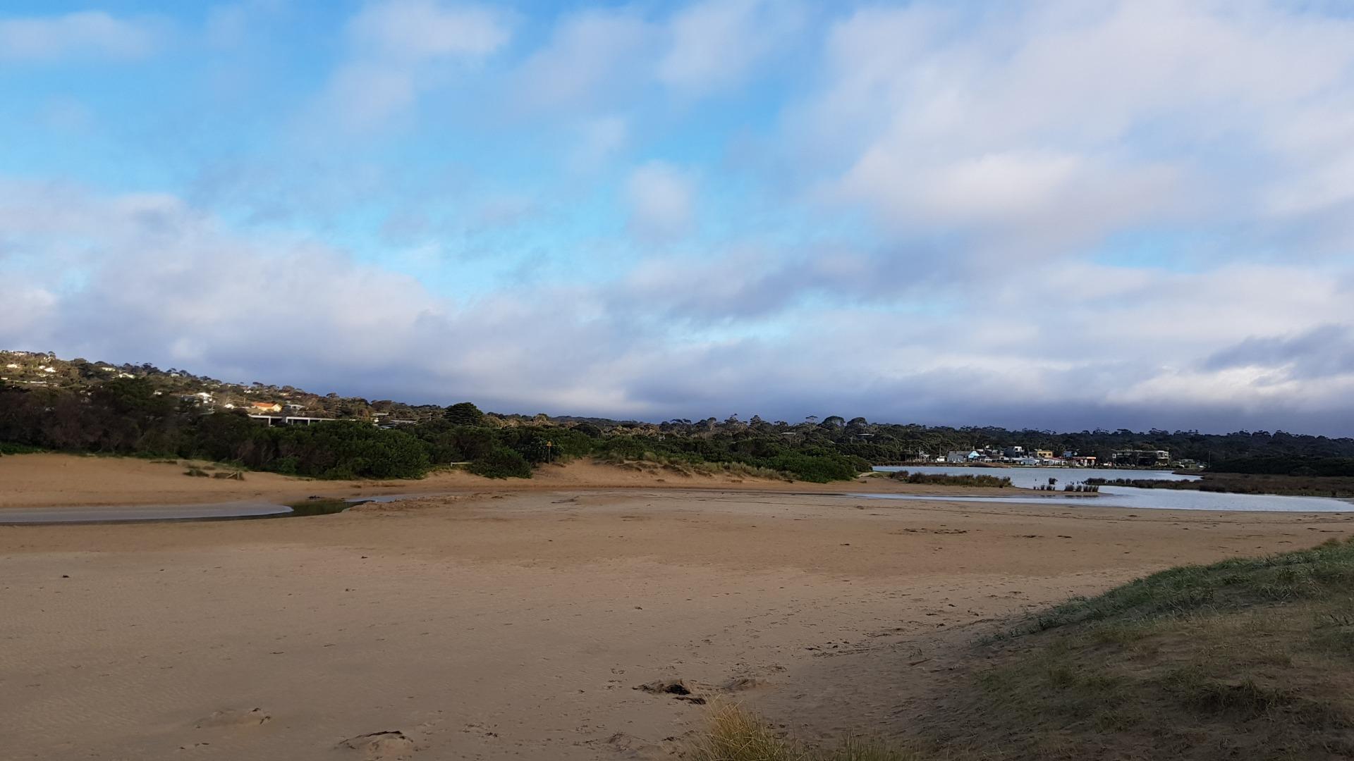
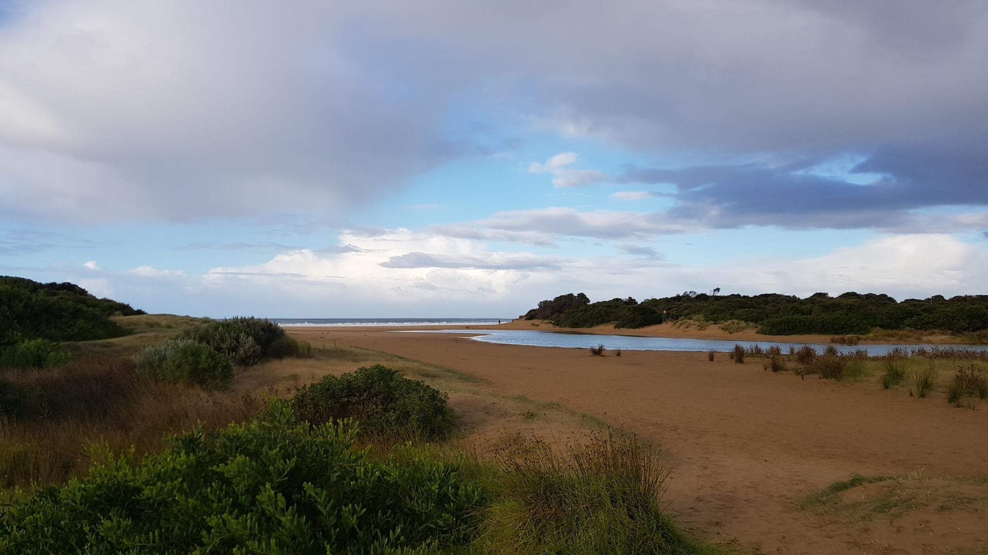
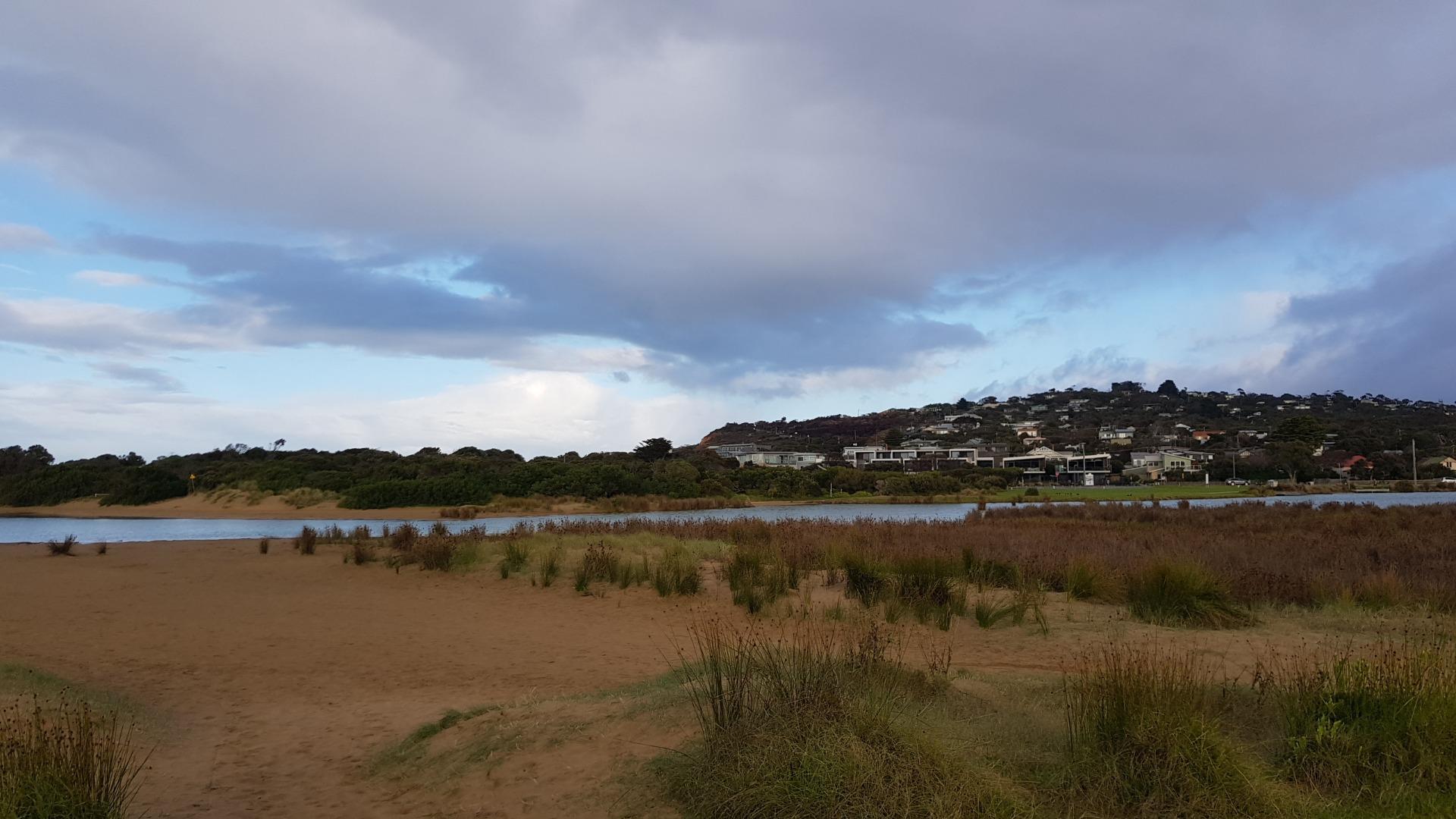
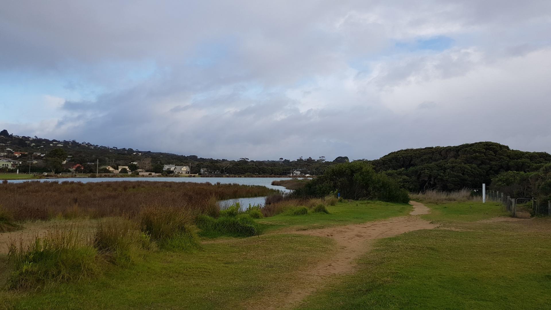
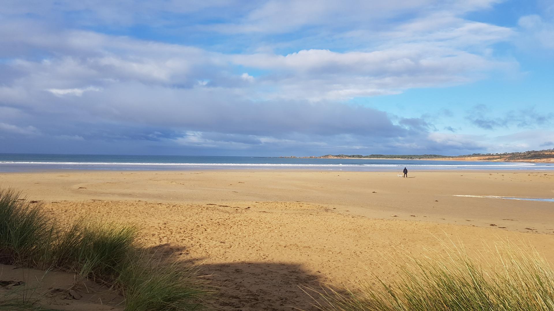
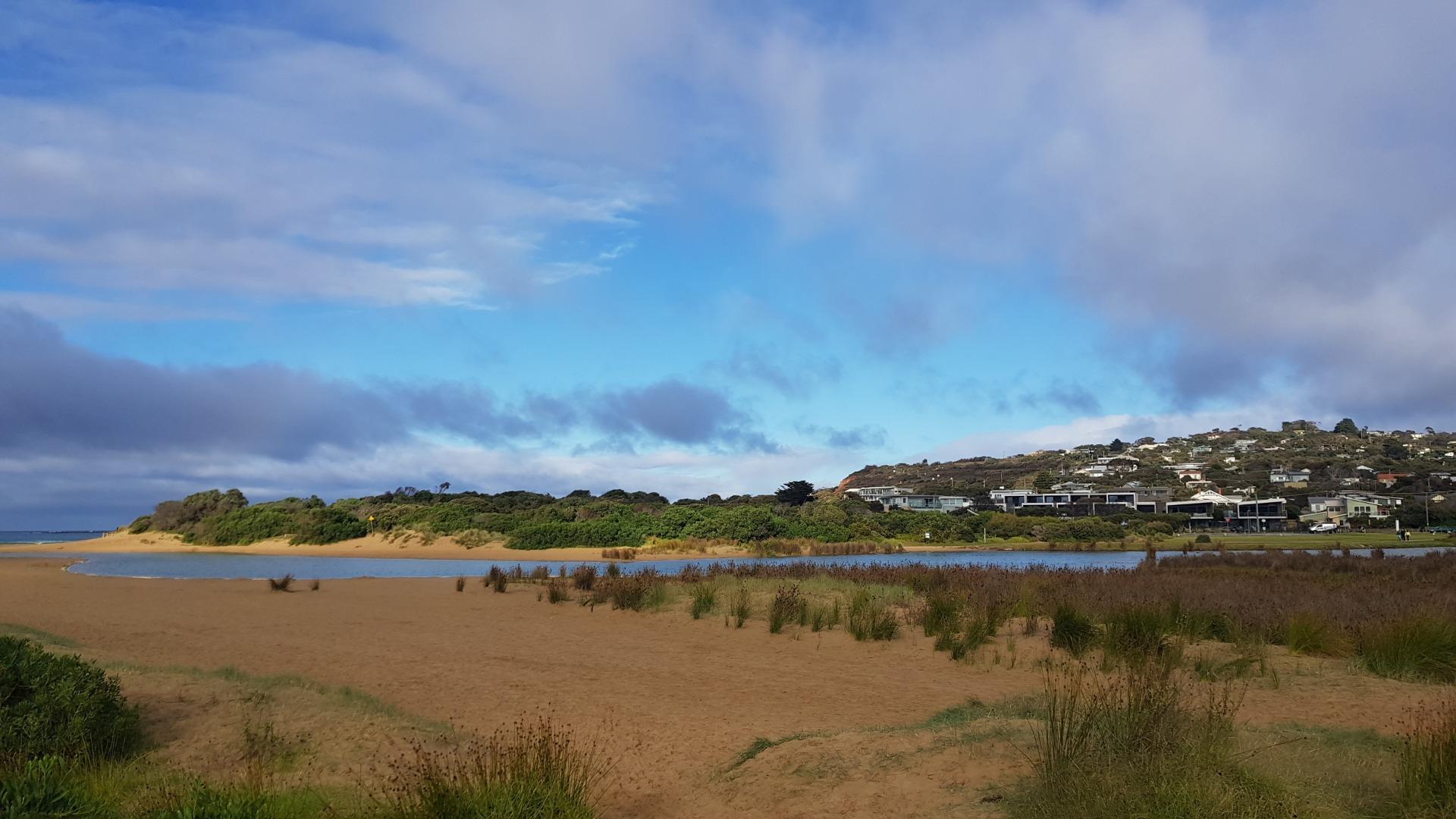
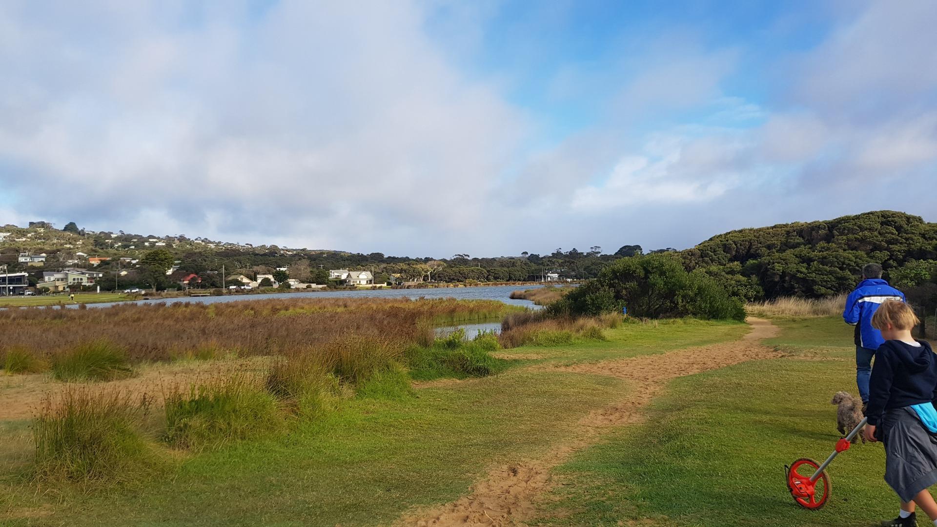
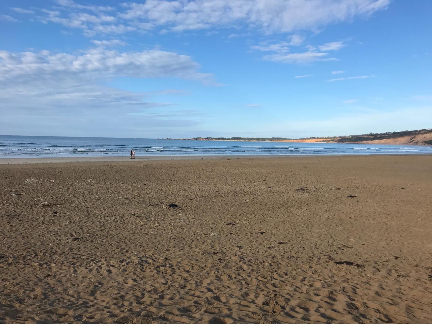
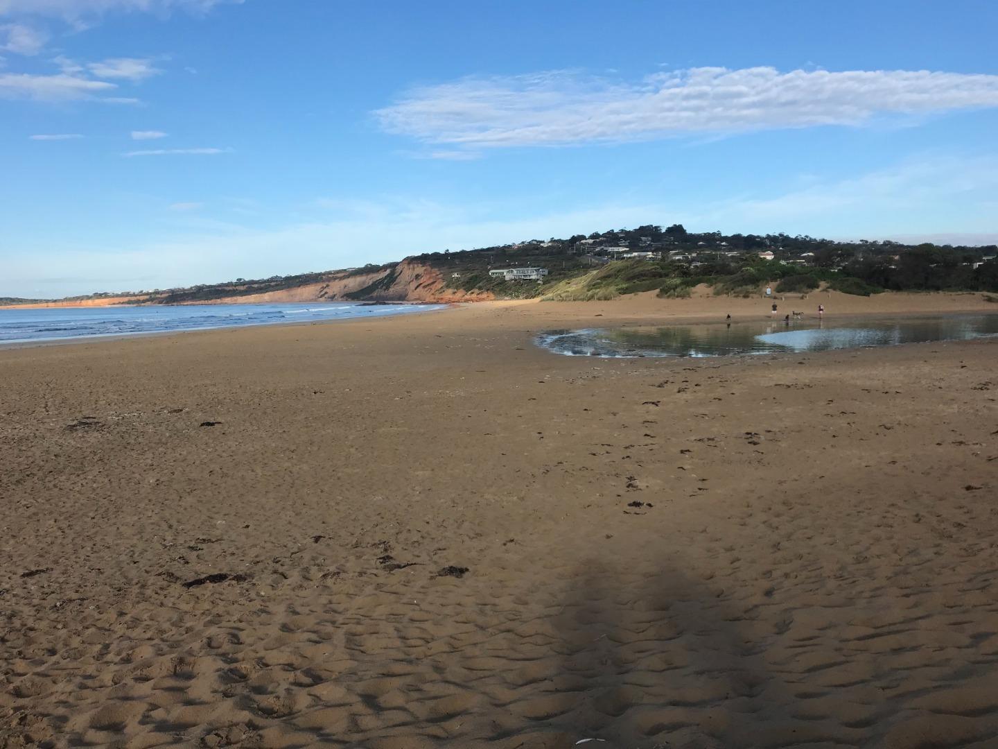
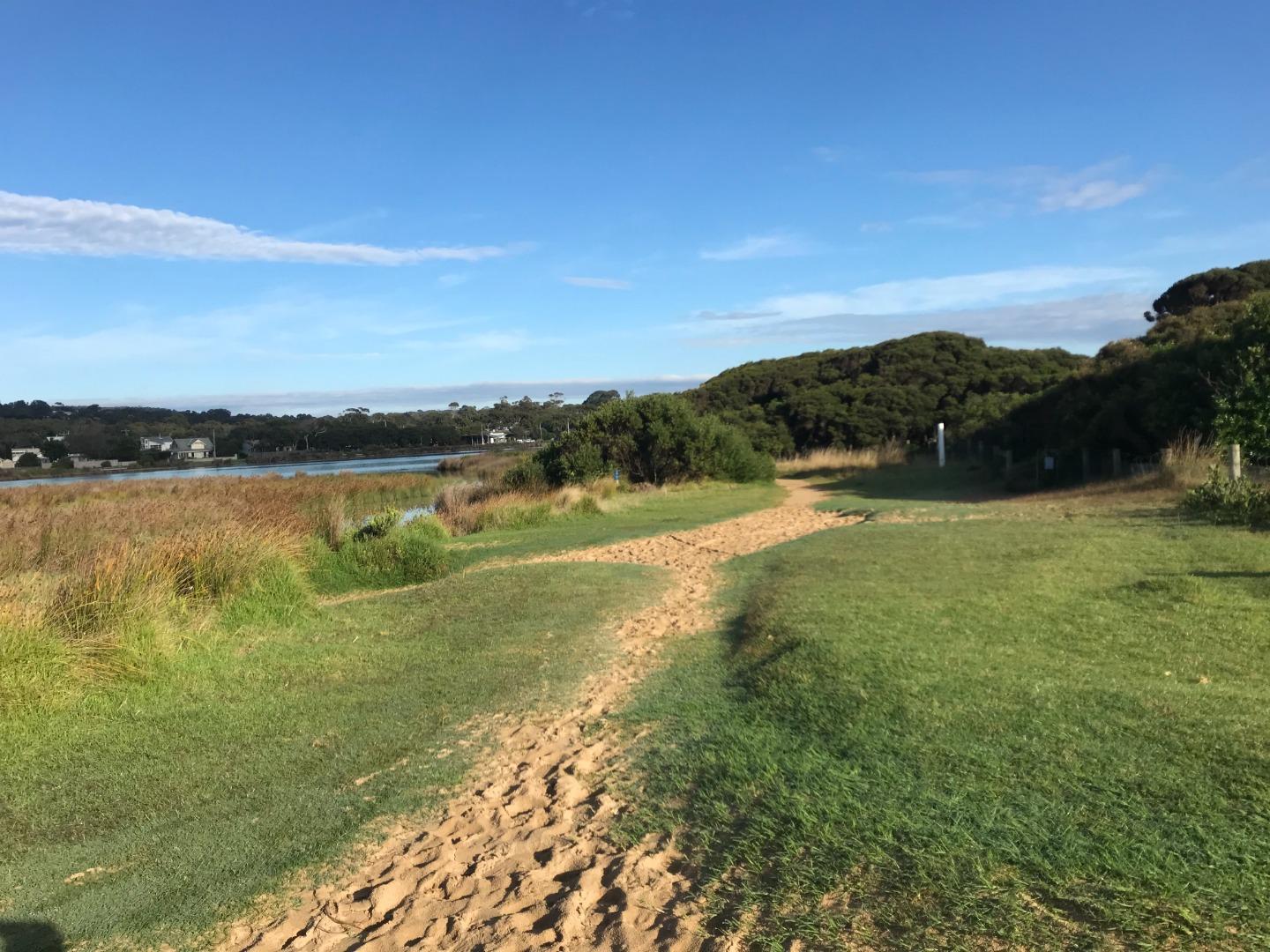
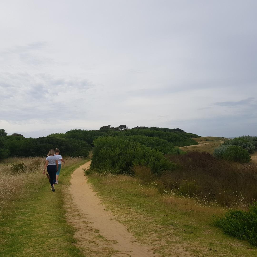
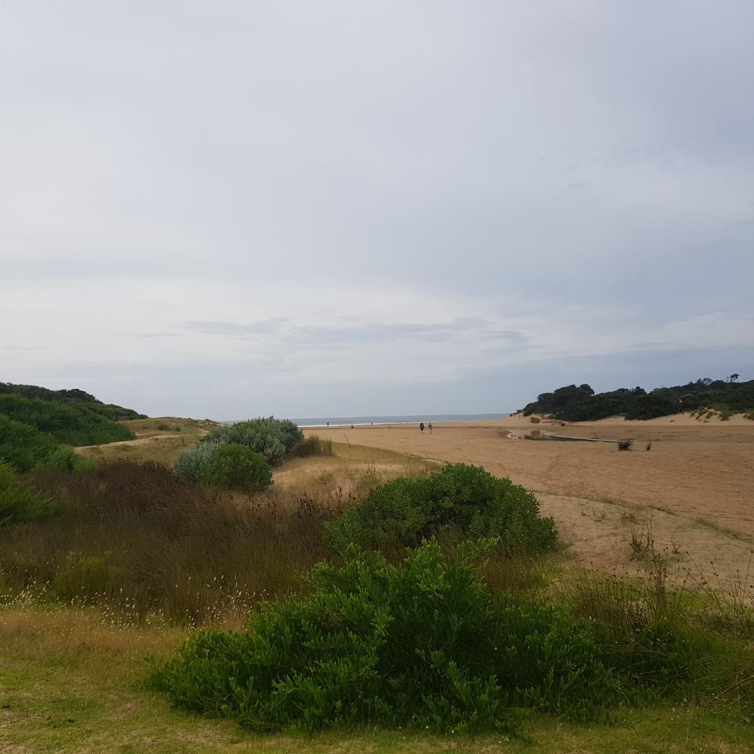
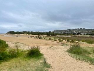
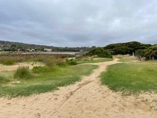
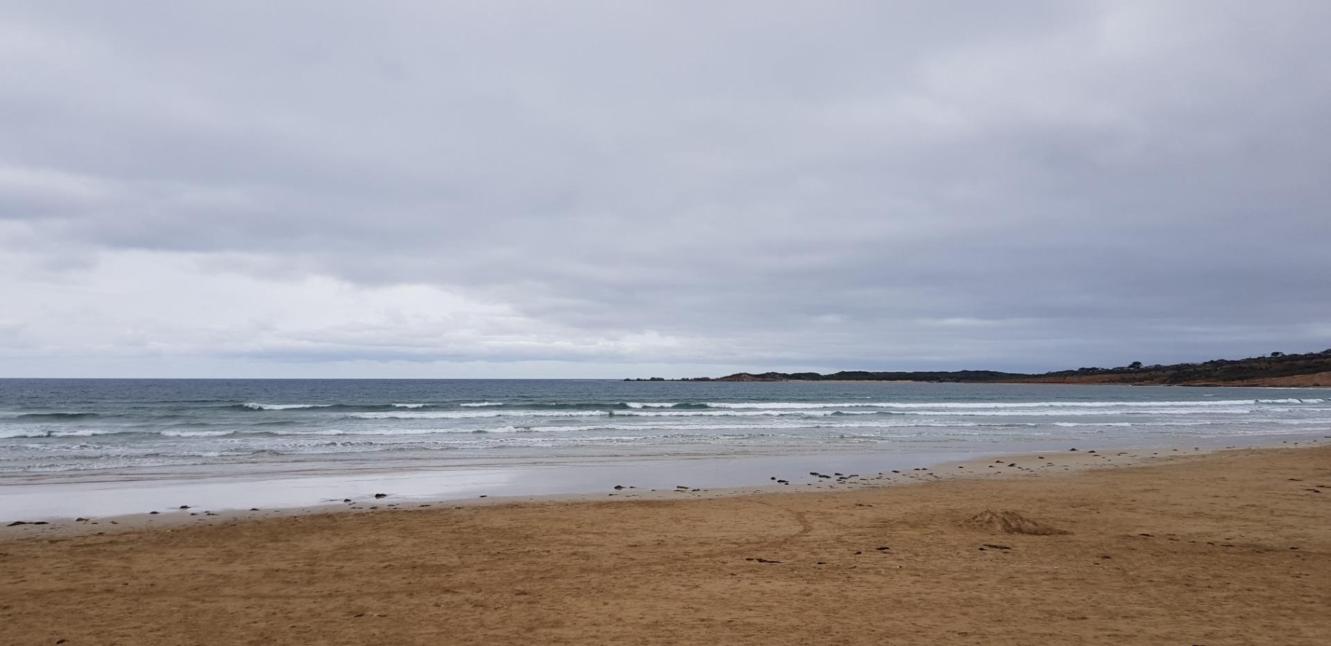
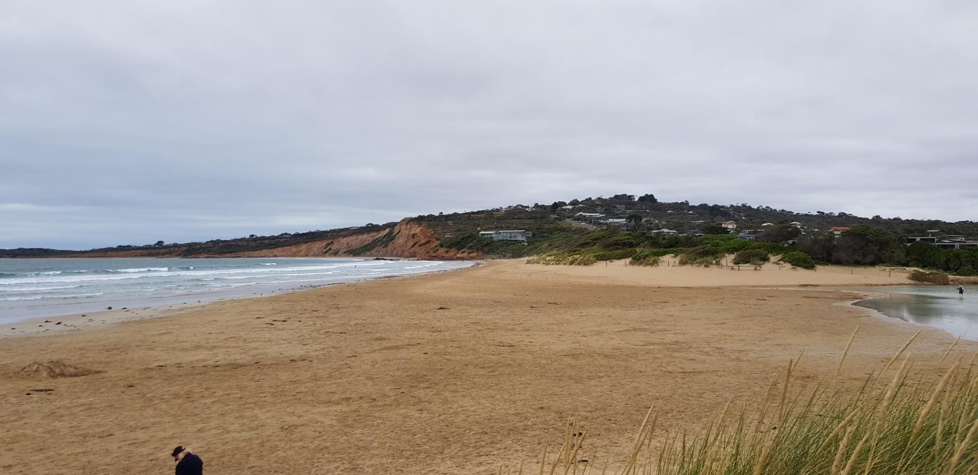
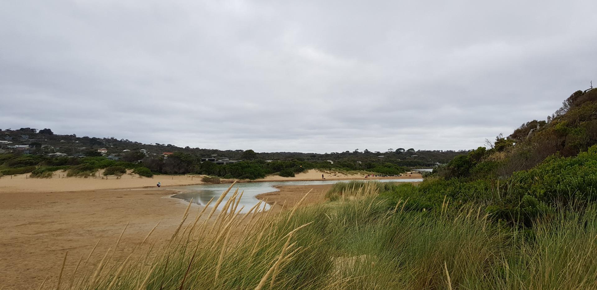
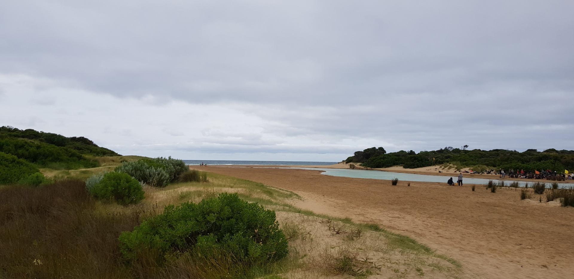
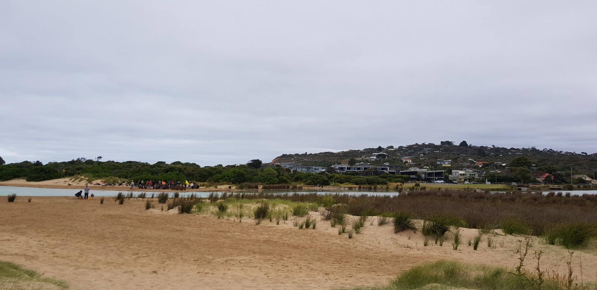
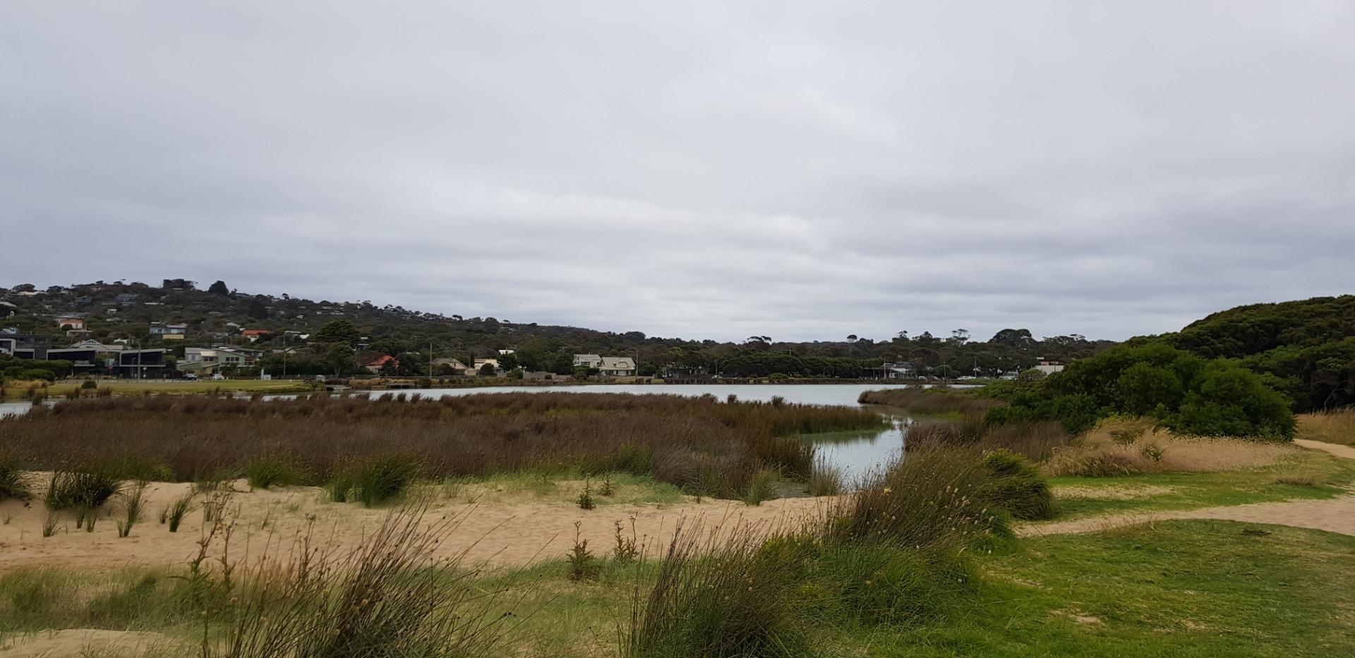
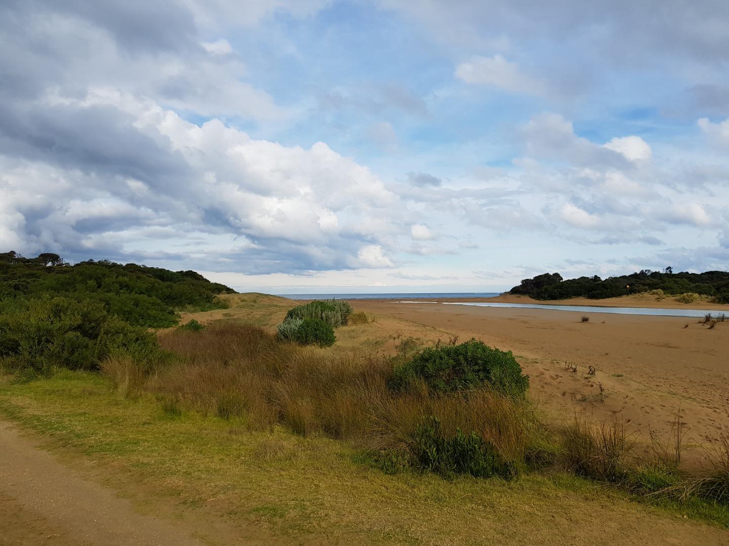
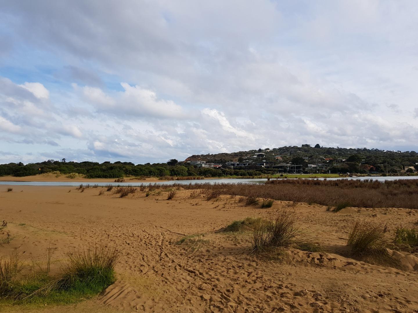
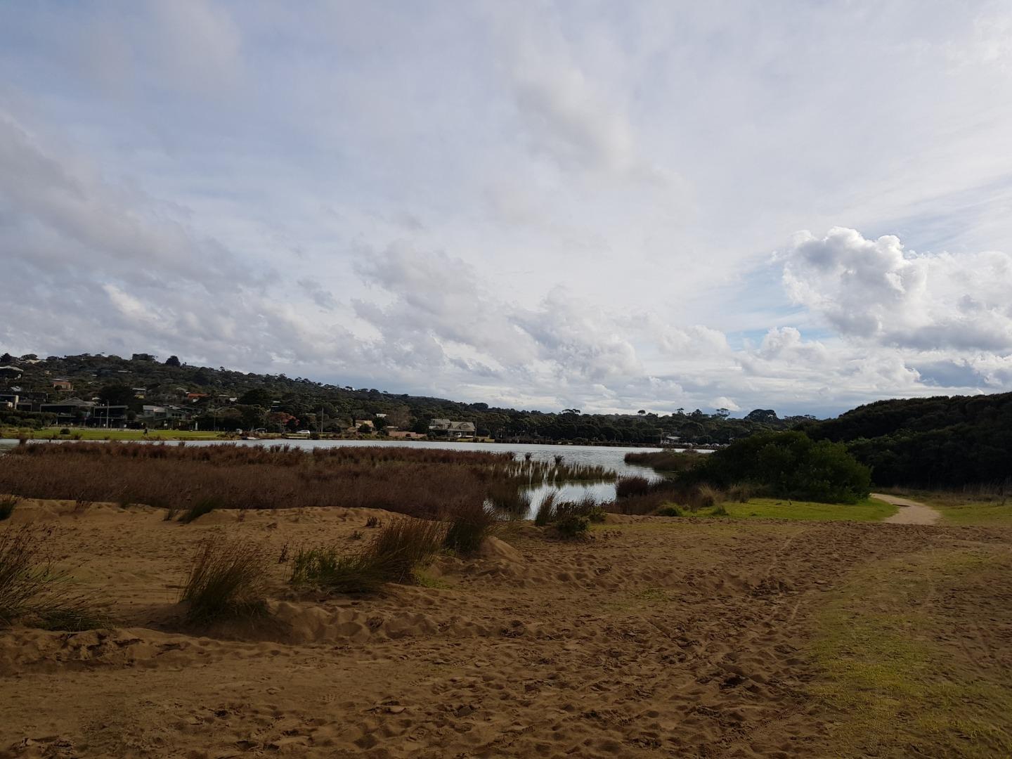
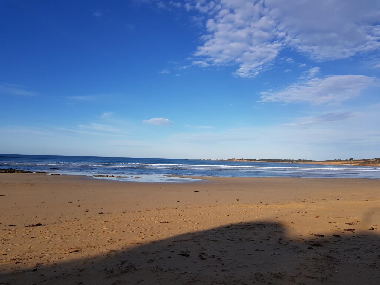
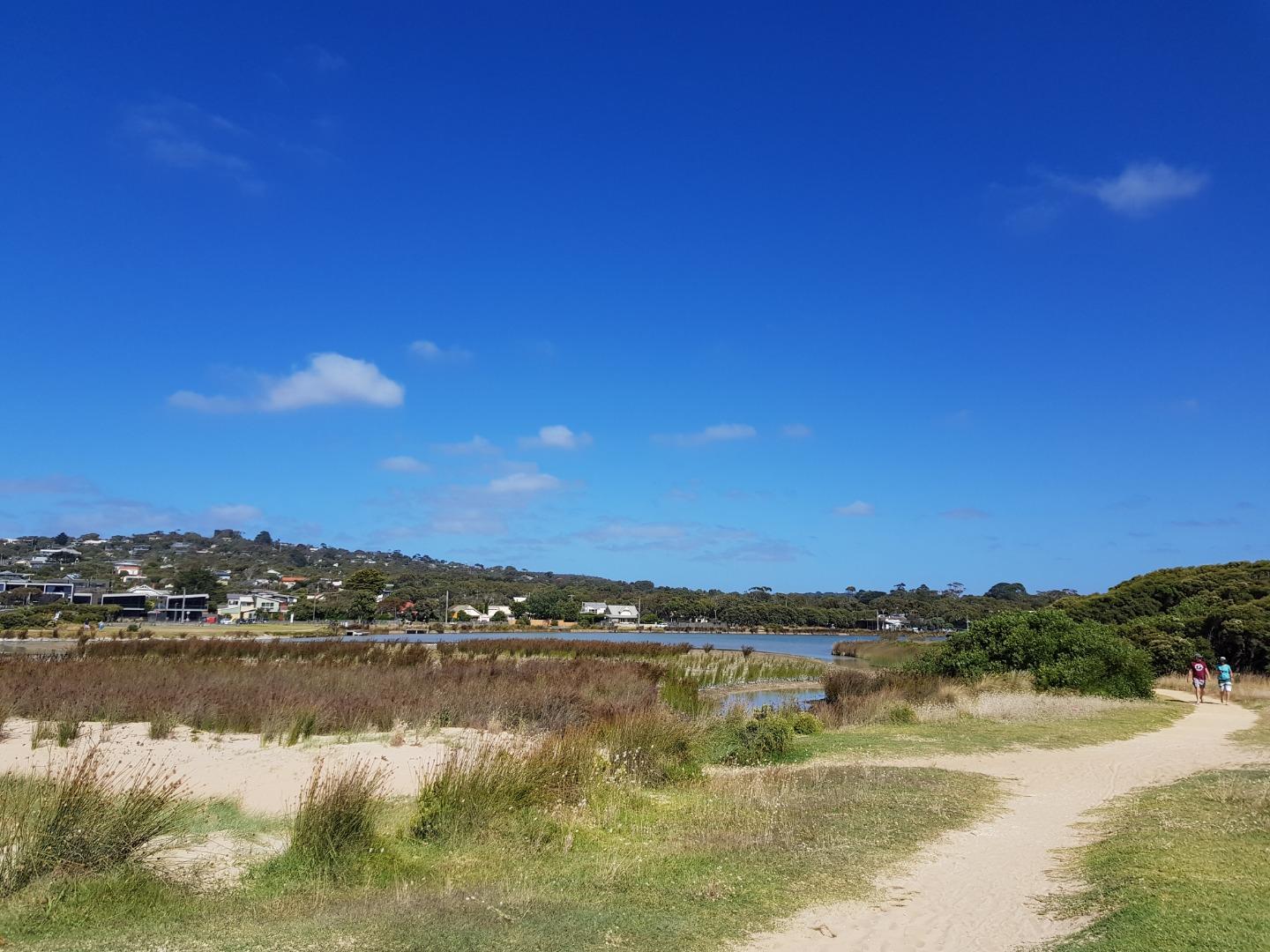
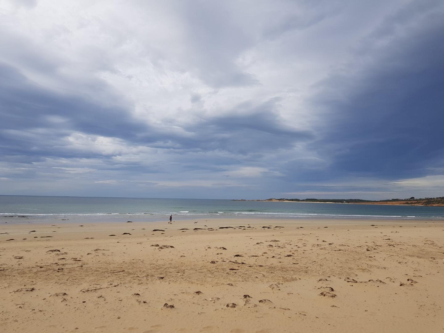
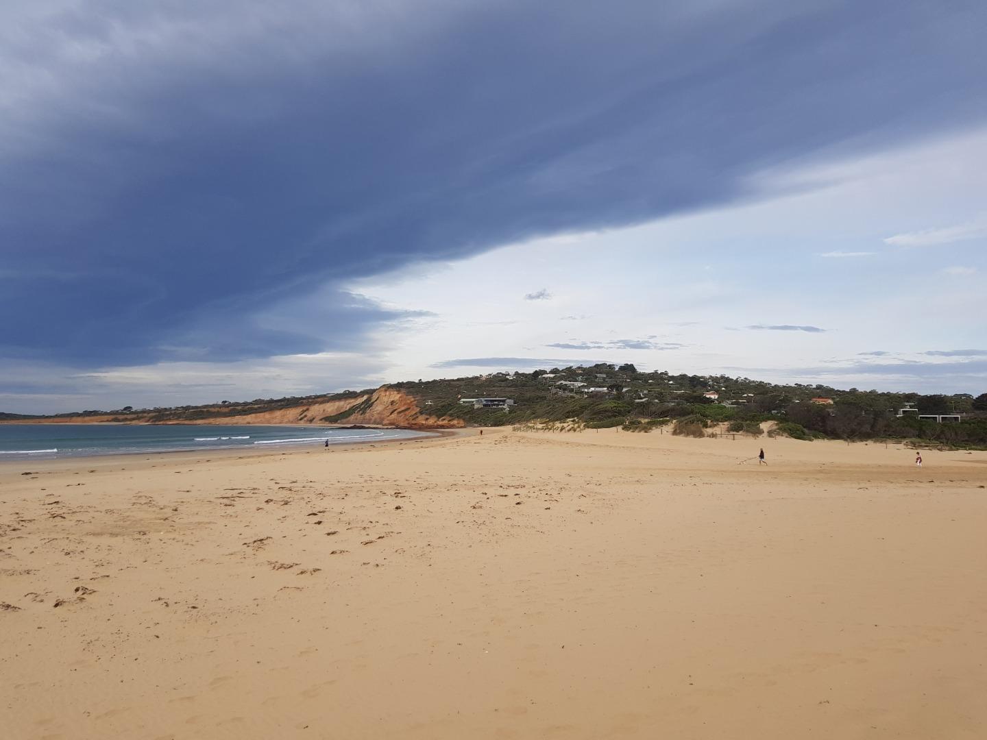
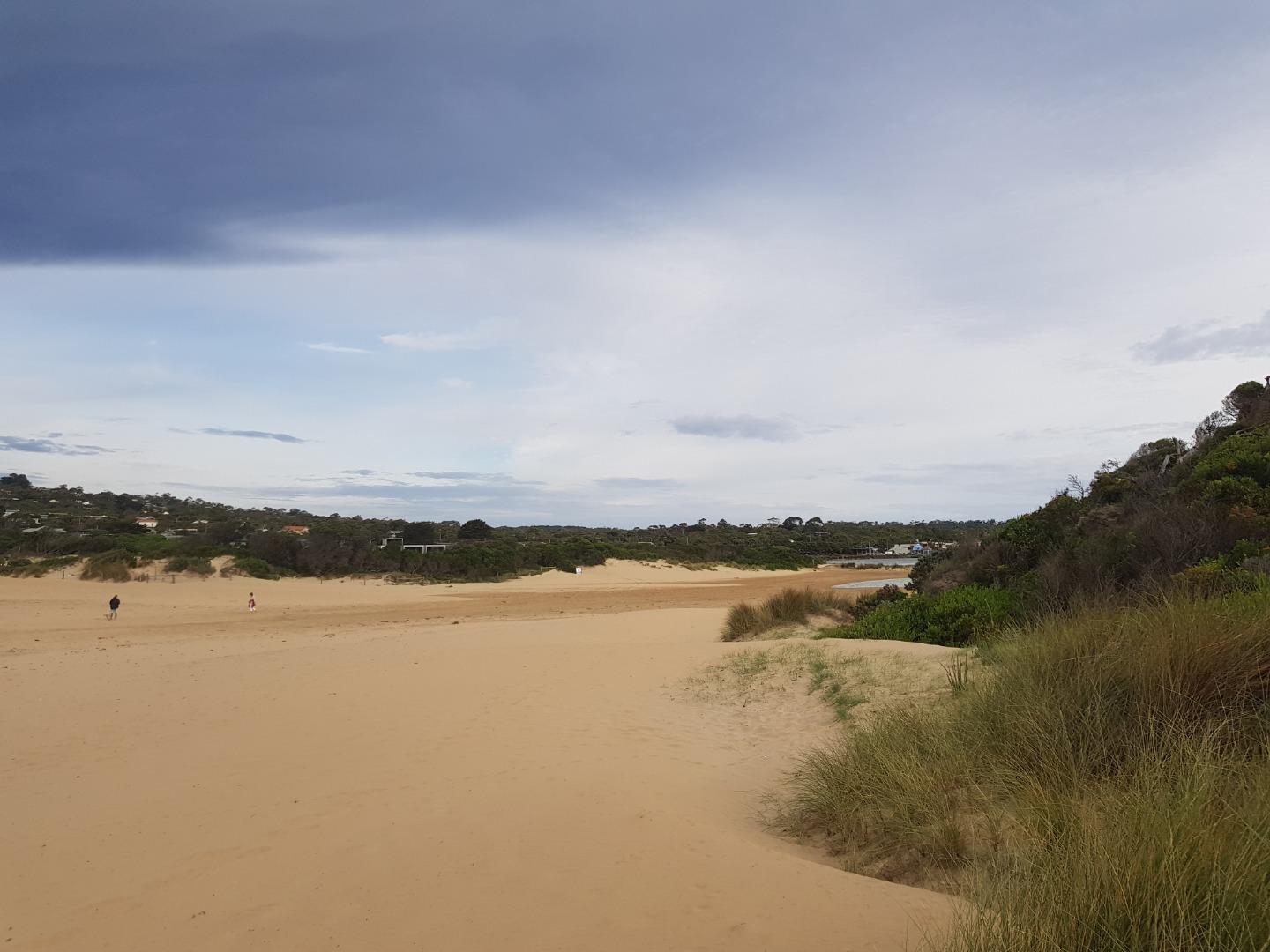
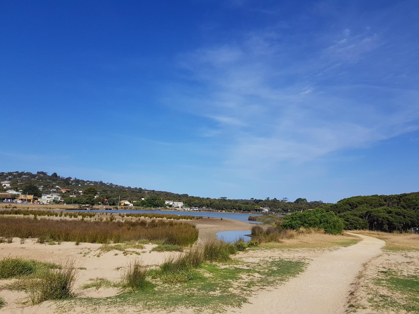
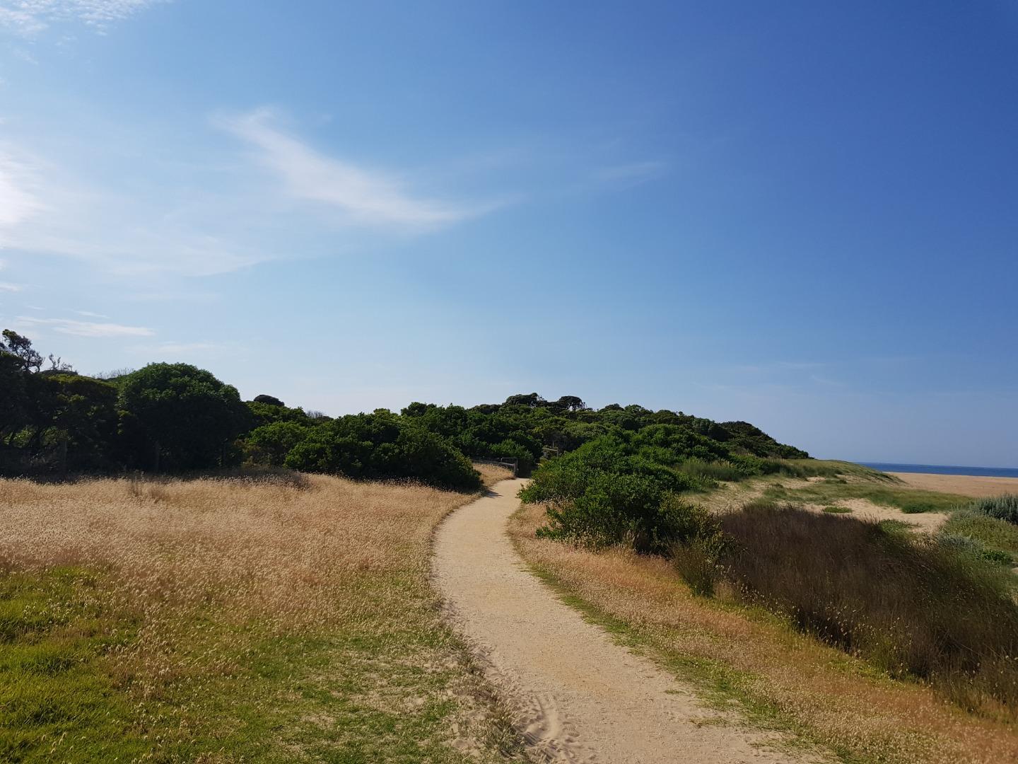
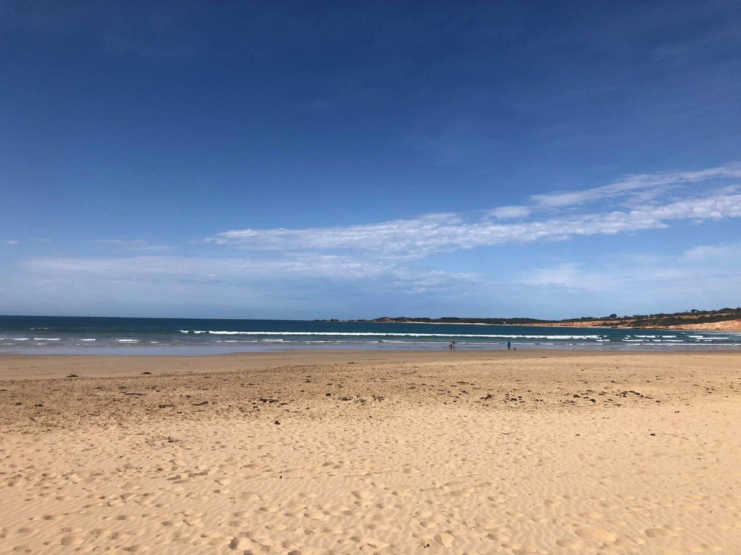
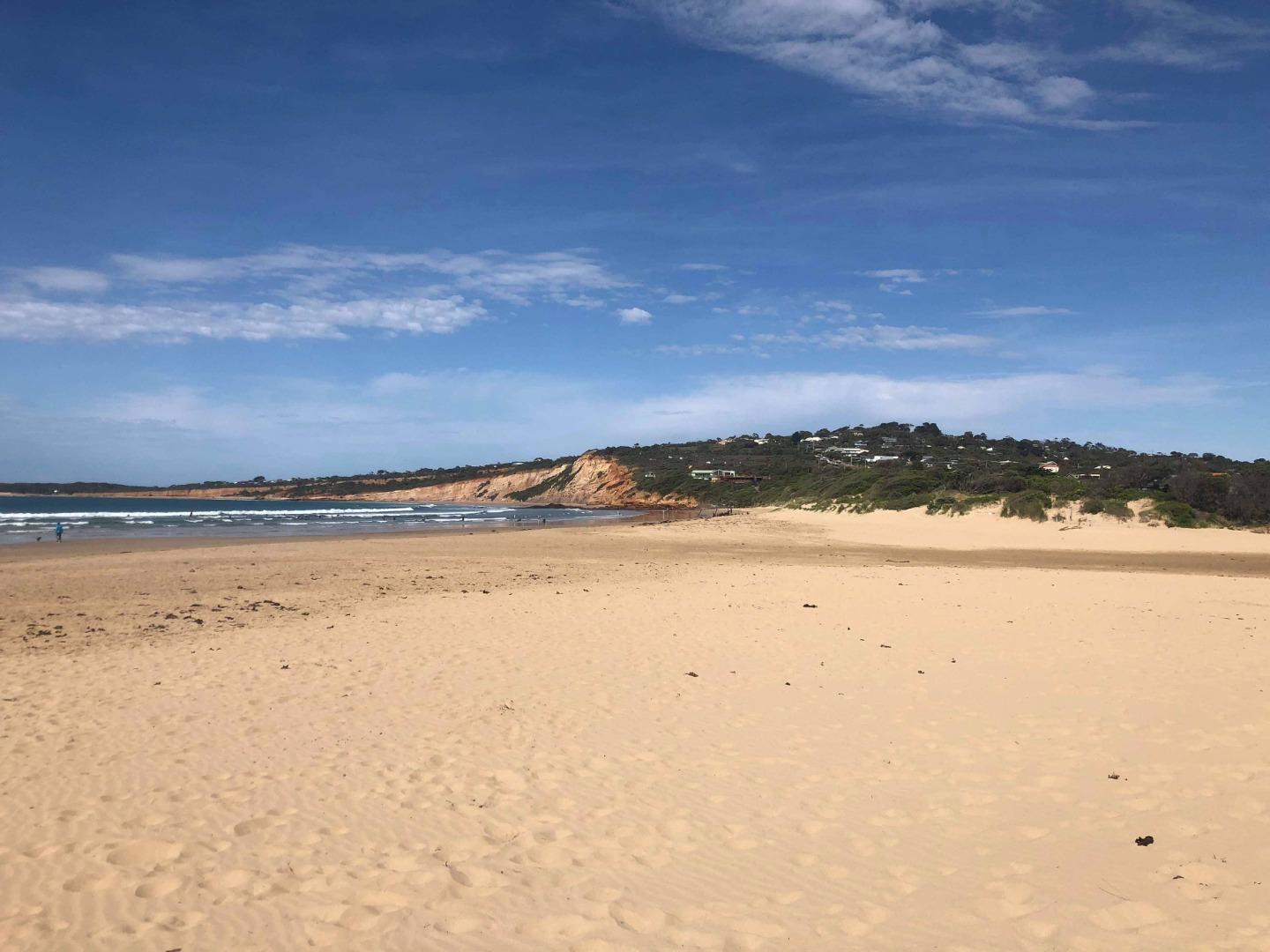
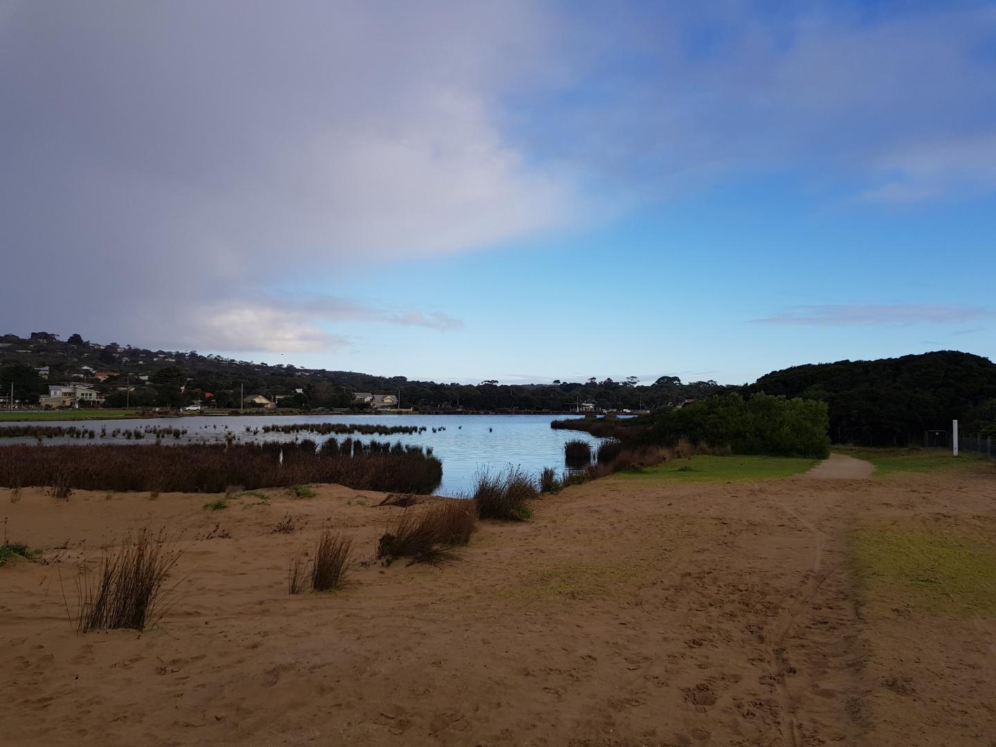
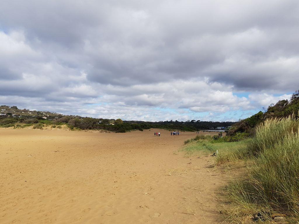
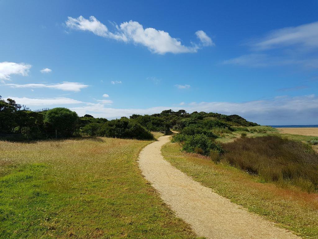
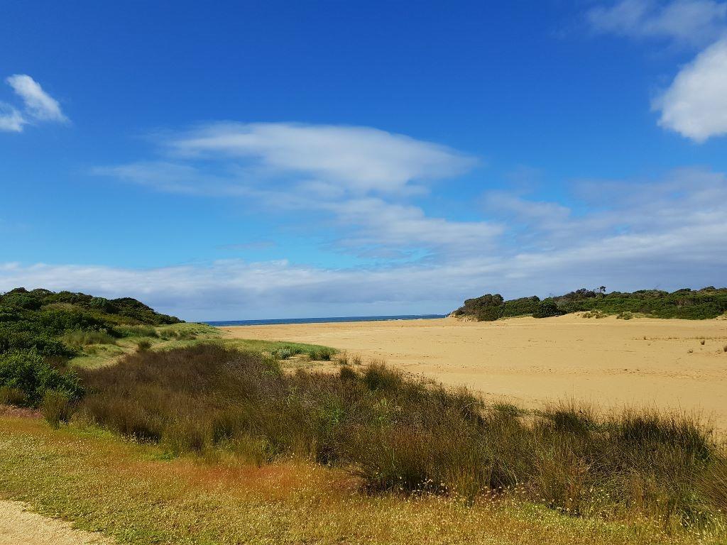
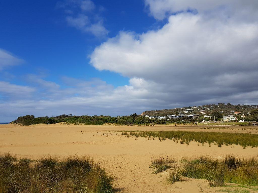
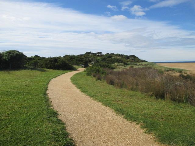
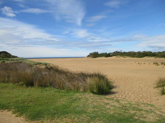
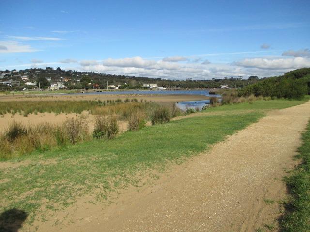
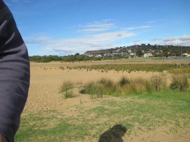
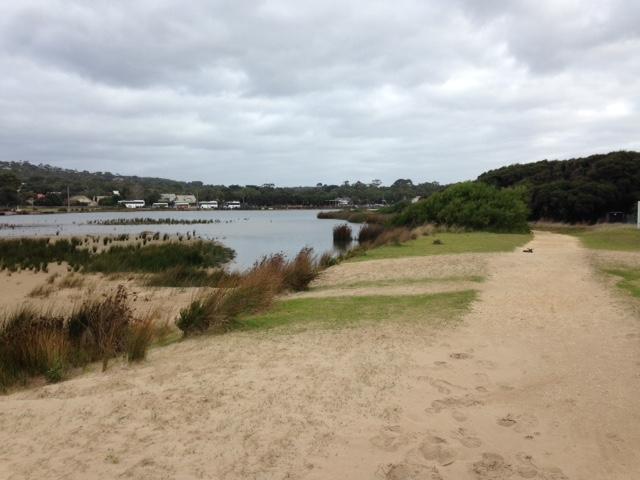
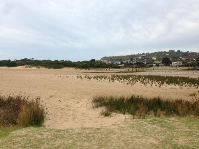
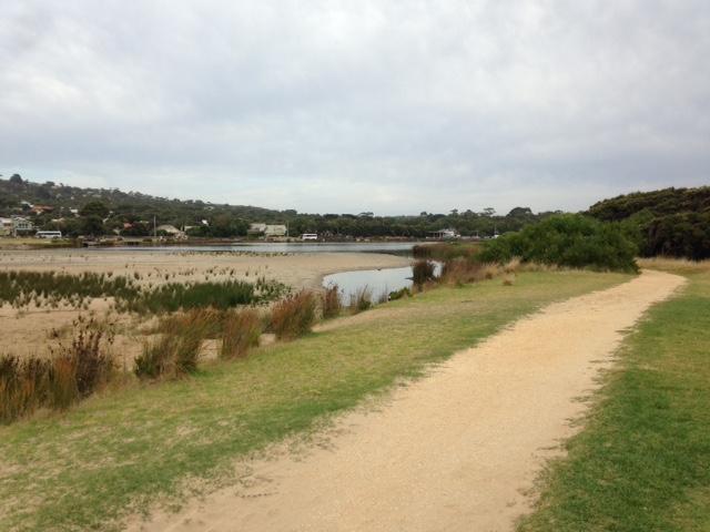
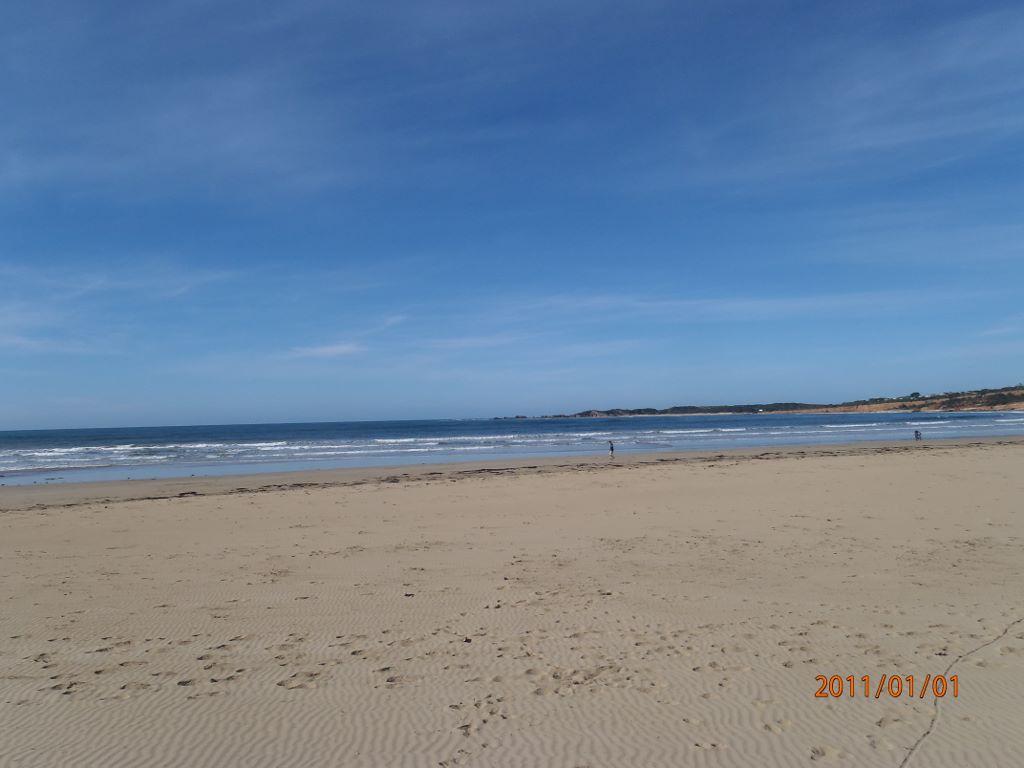
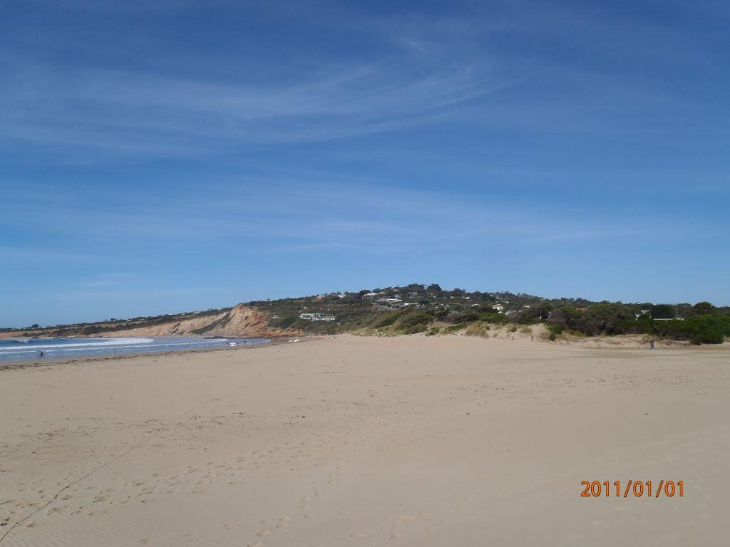
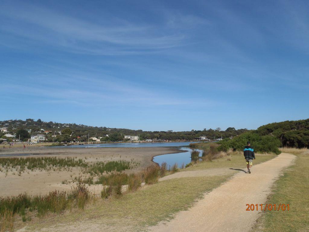
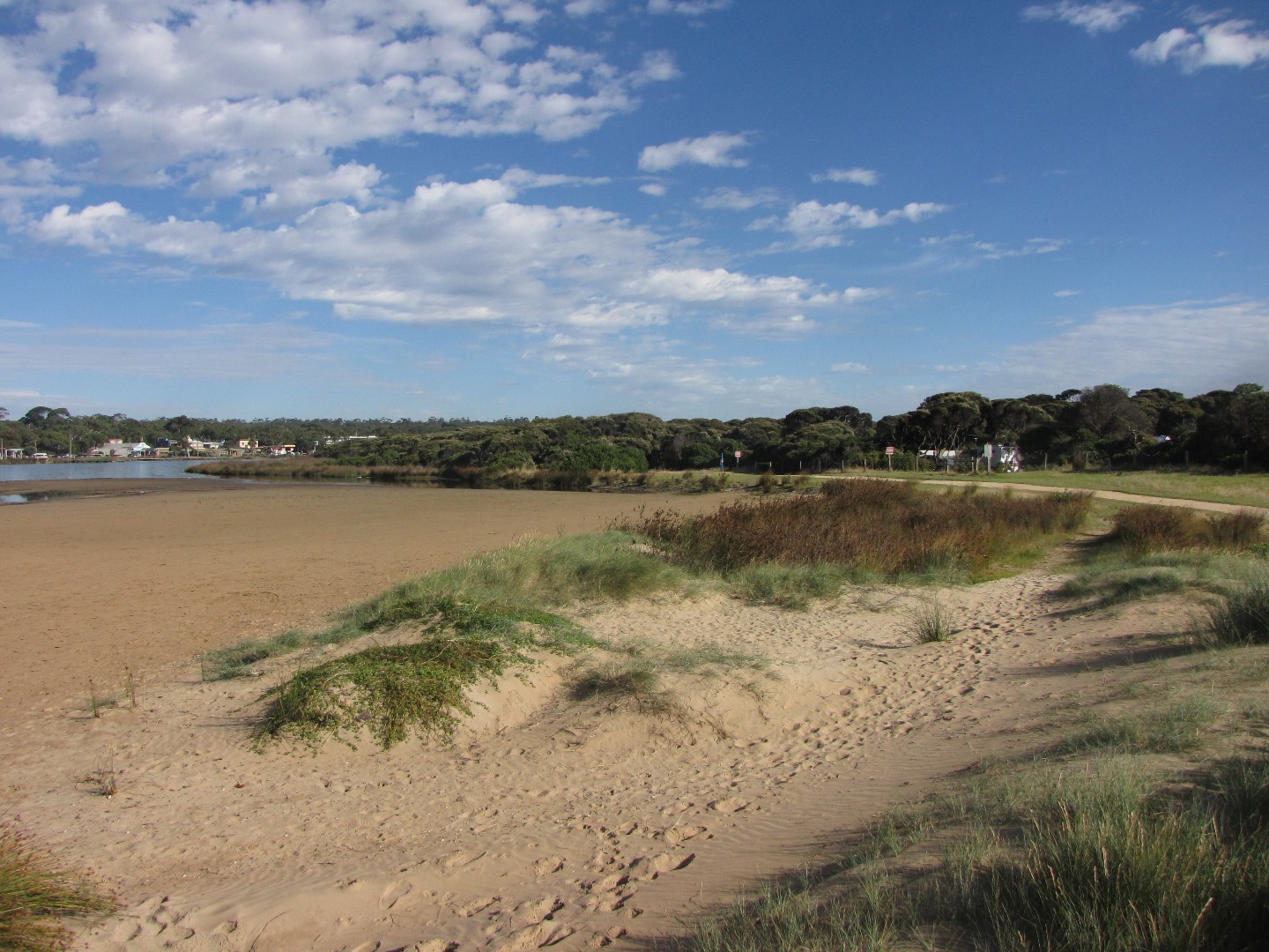
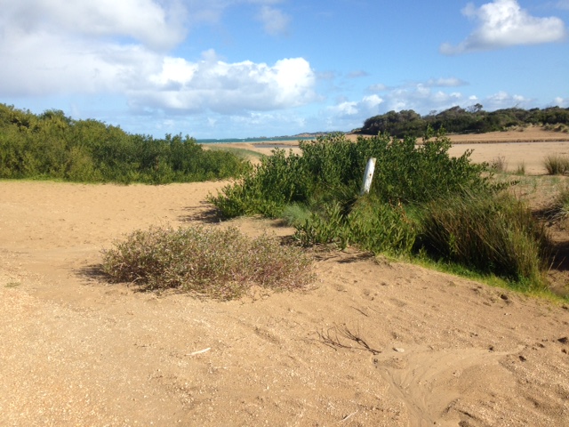
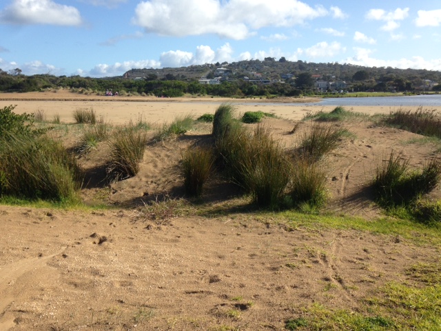
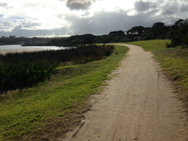
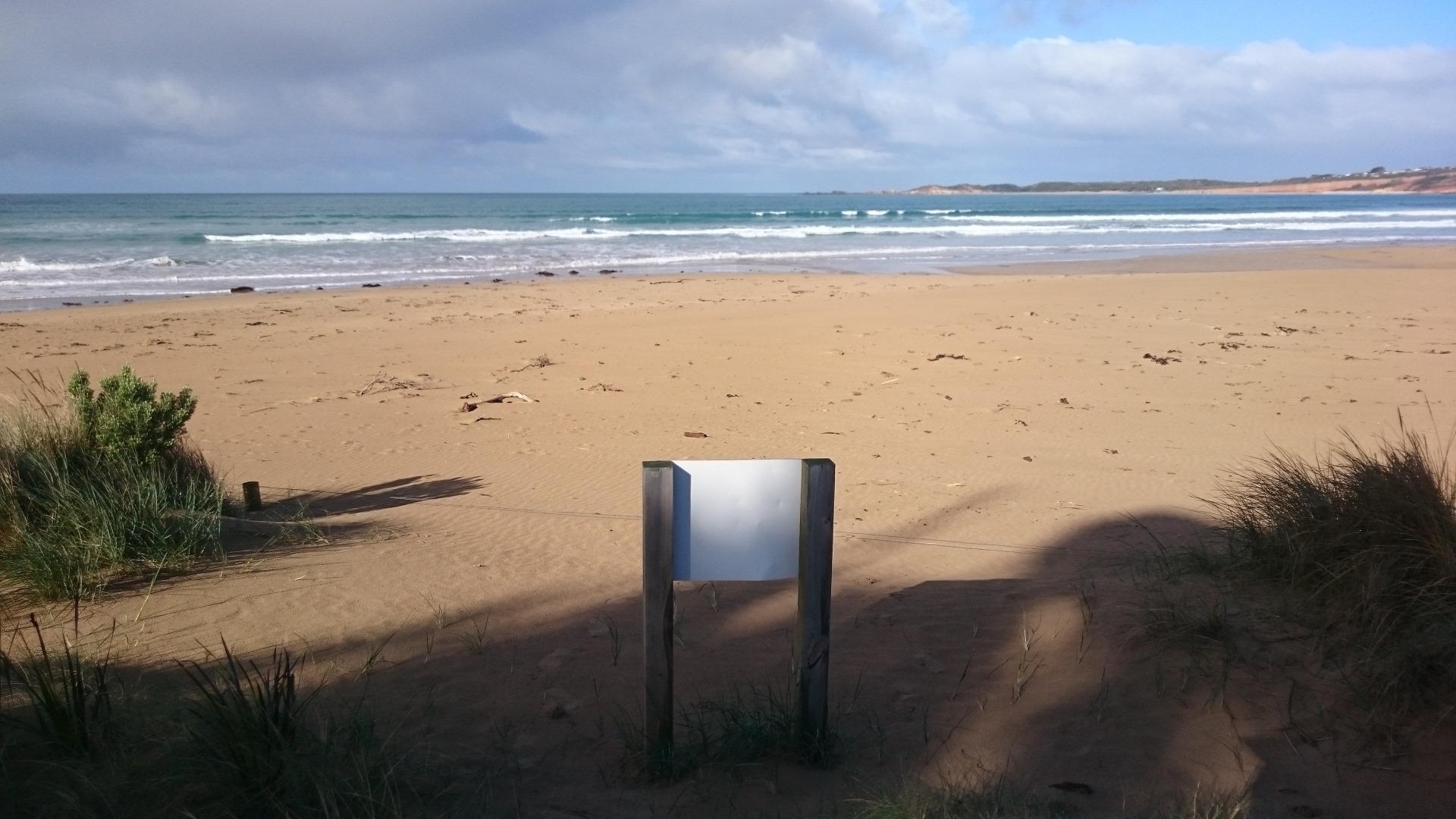
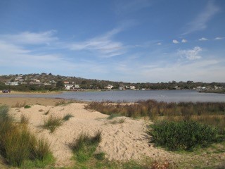
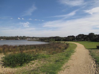
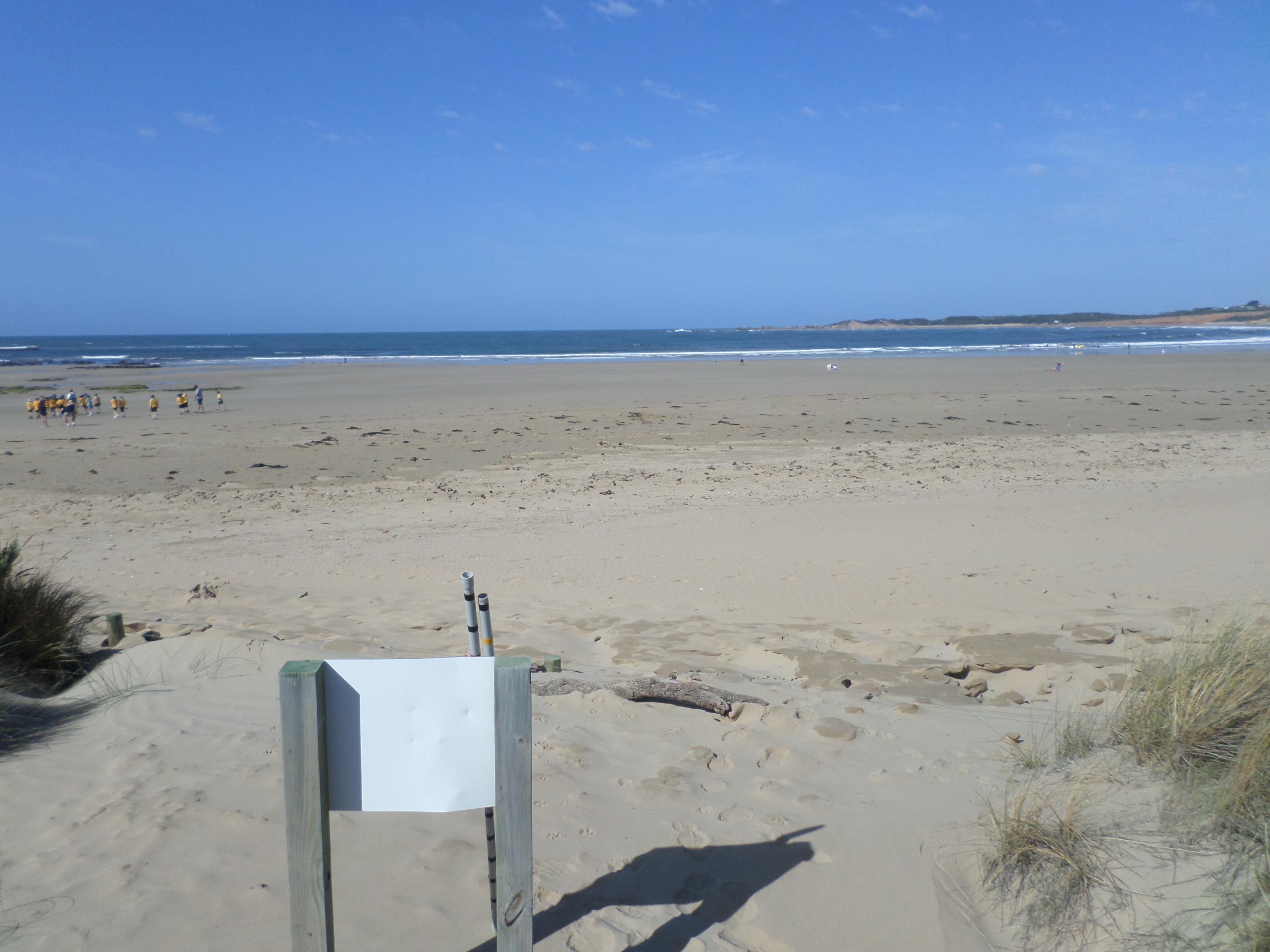
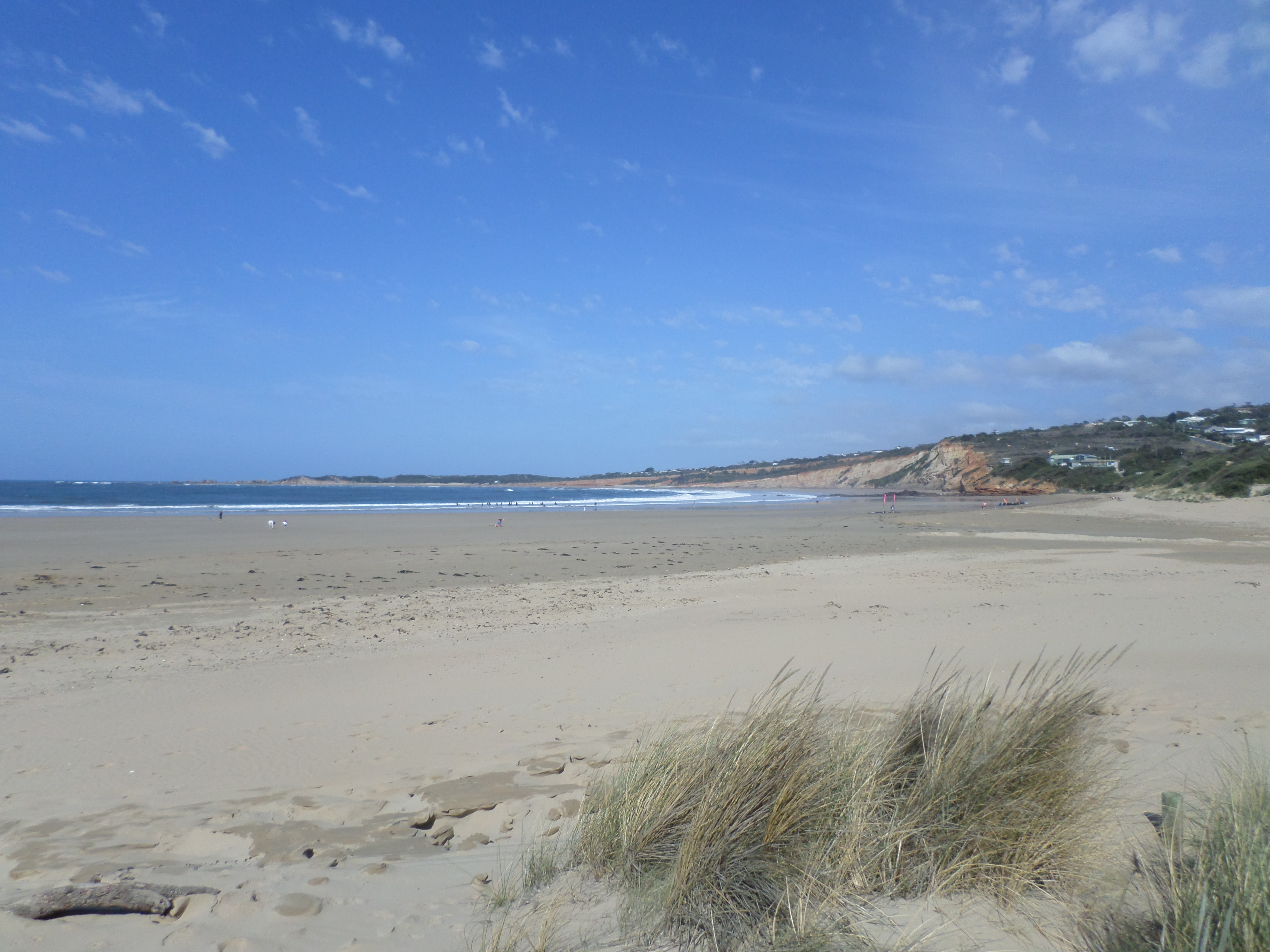
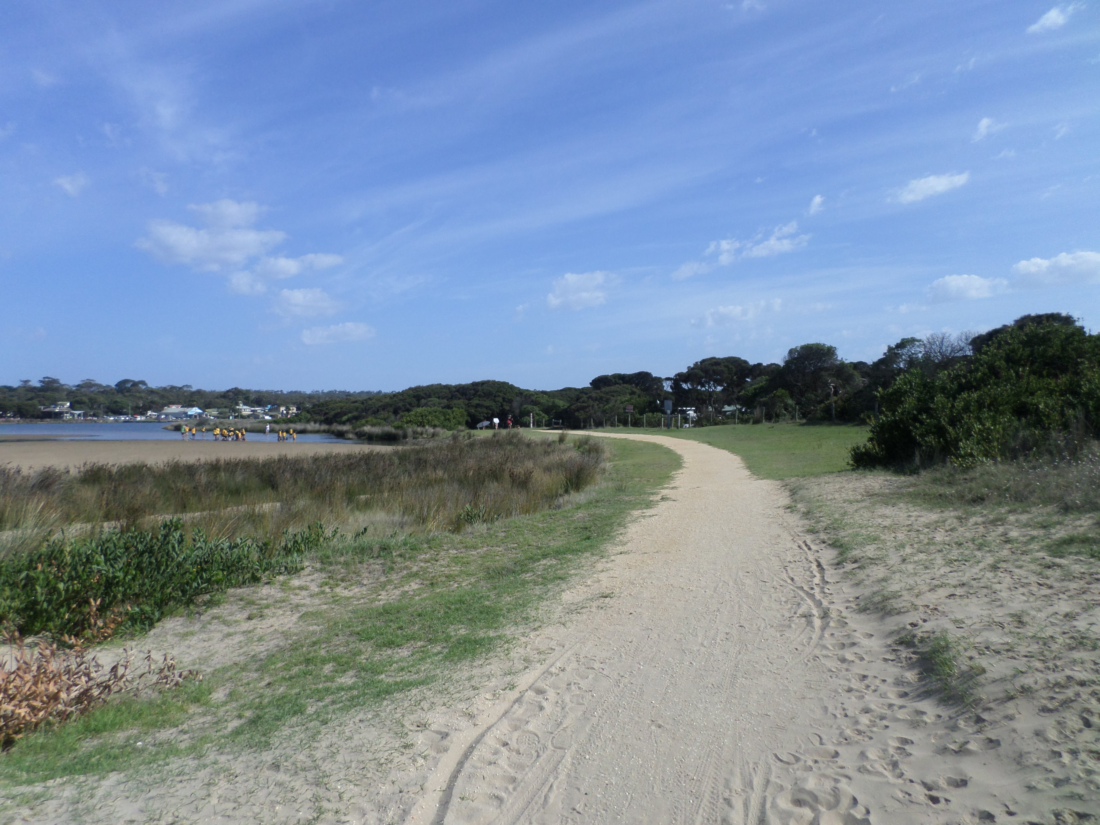
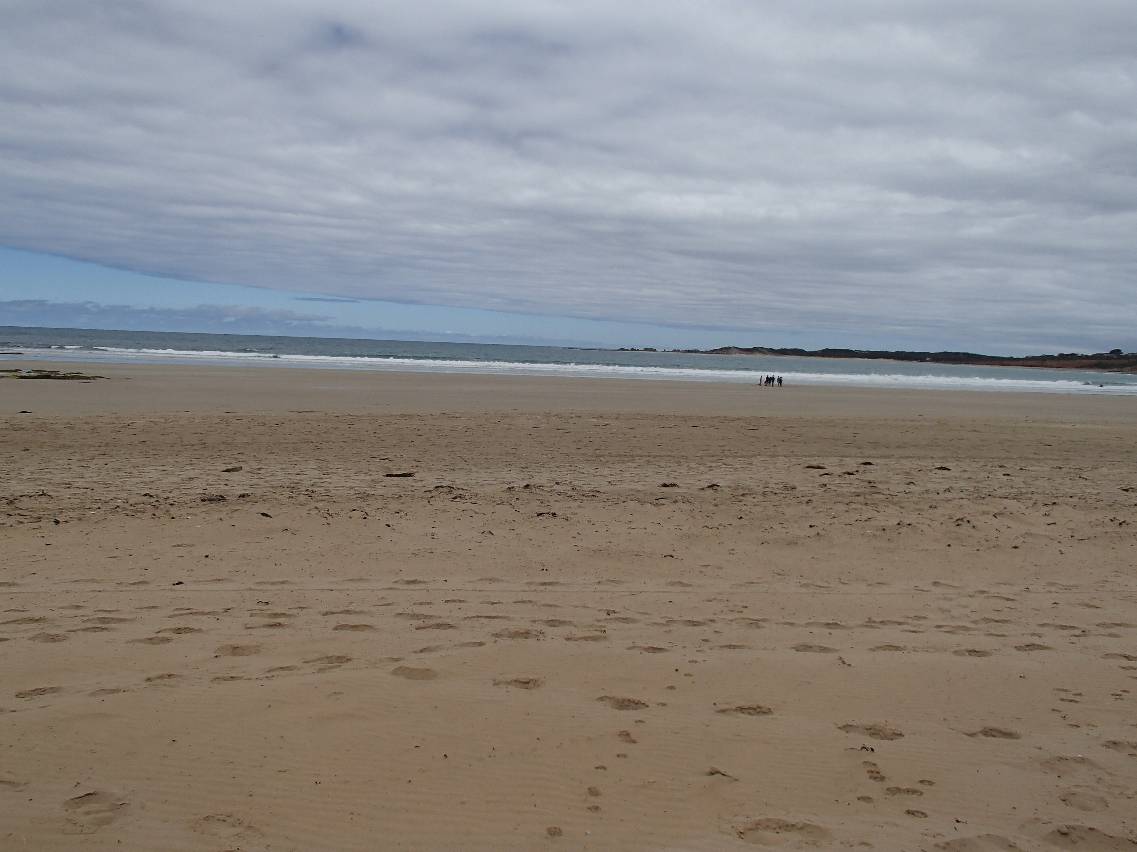
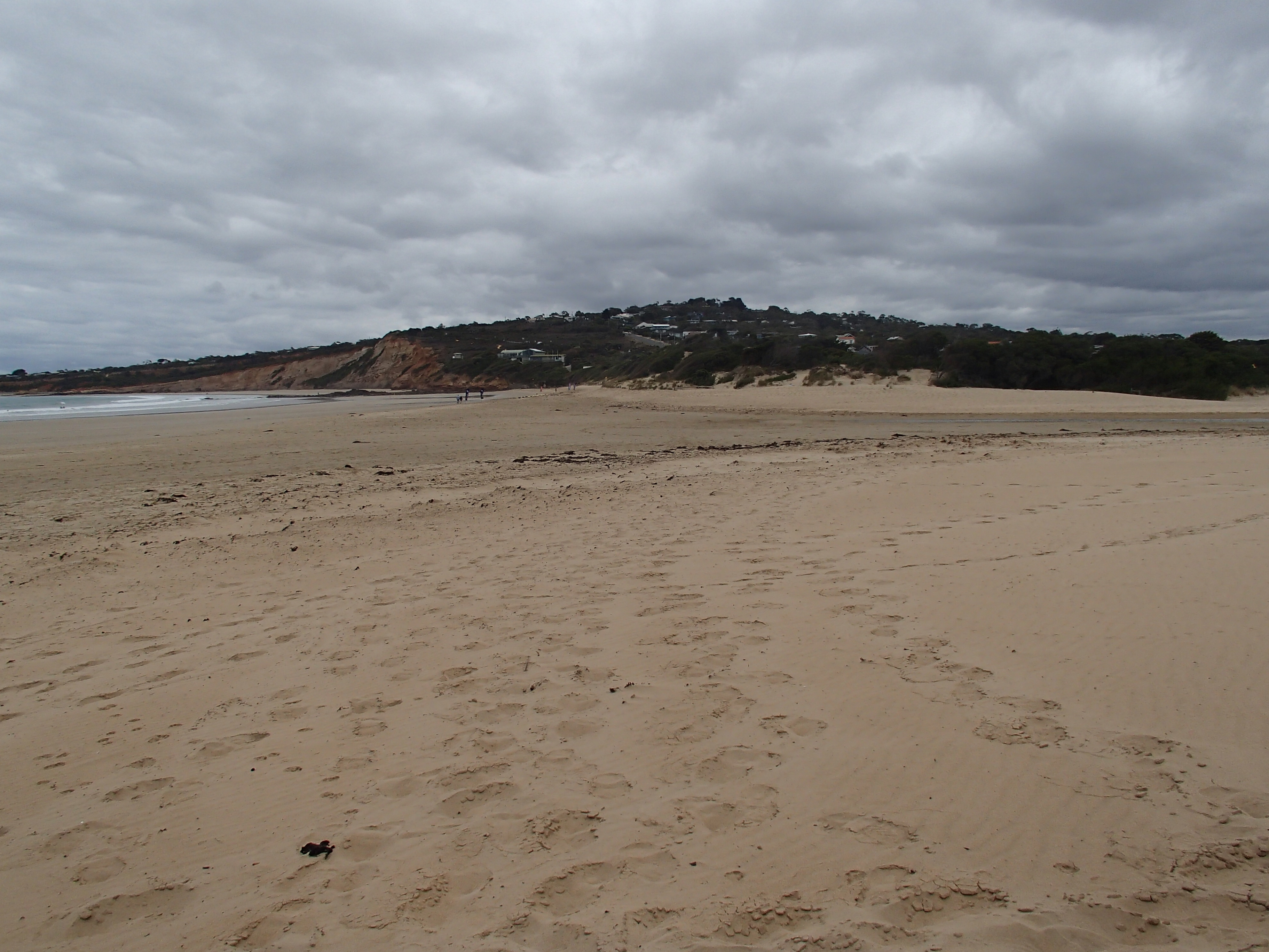
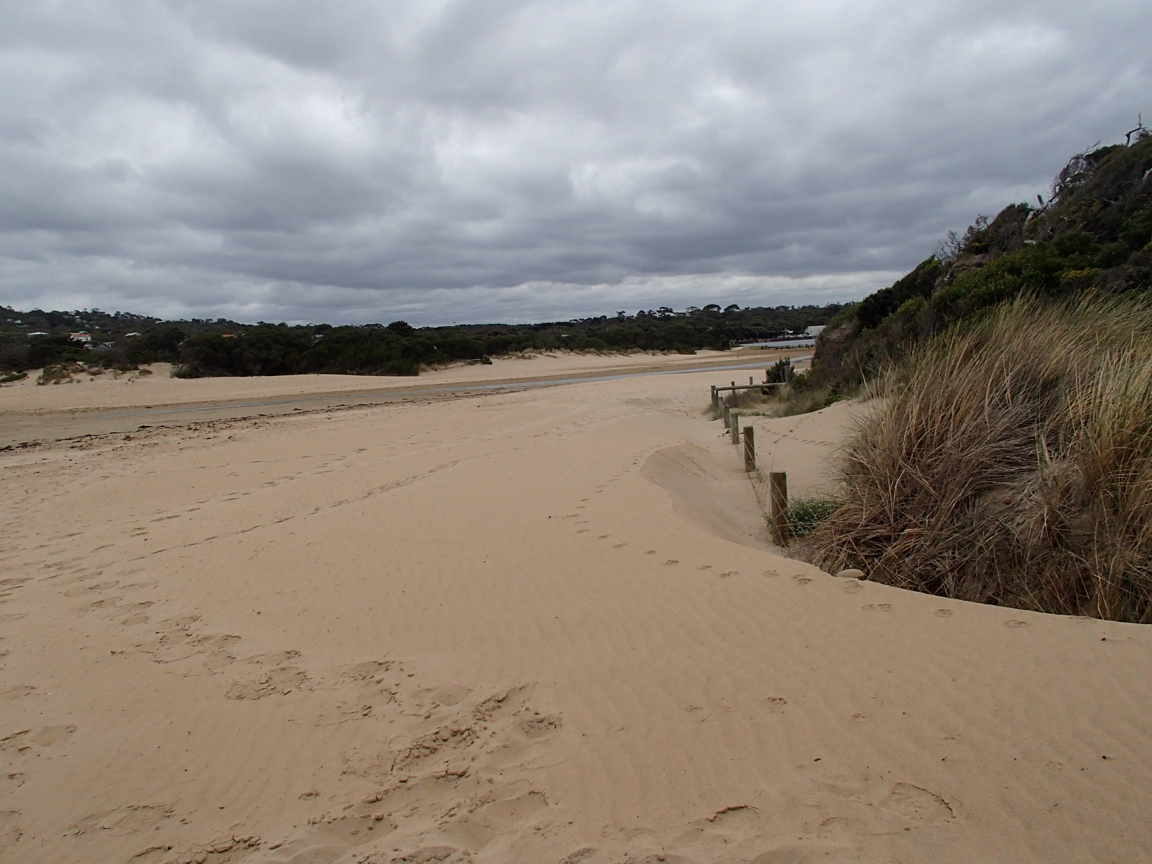
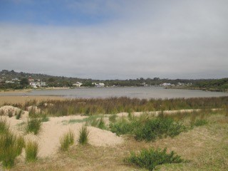
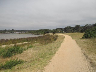
AMC Anglesea River Estuary Mouth Observation Site
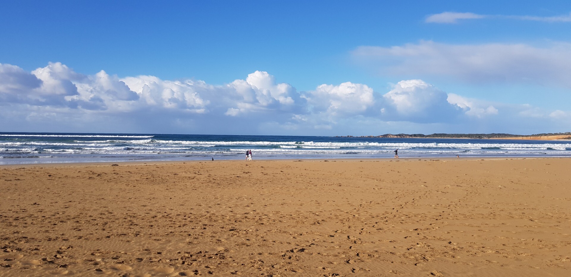
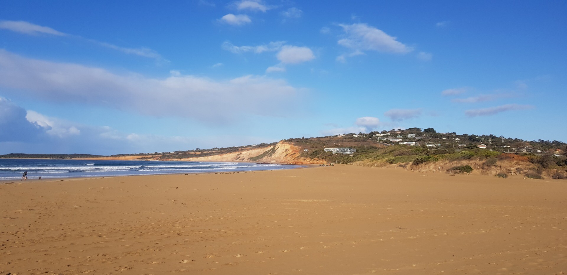
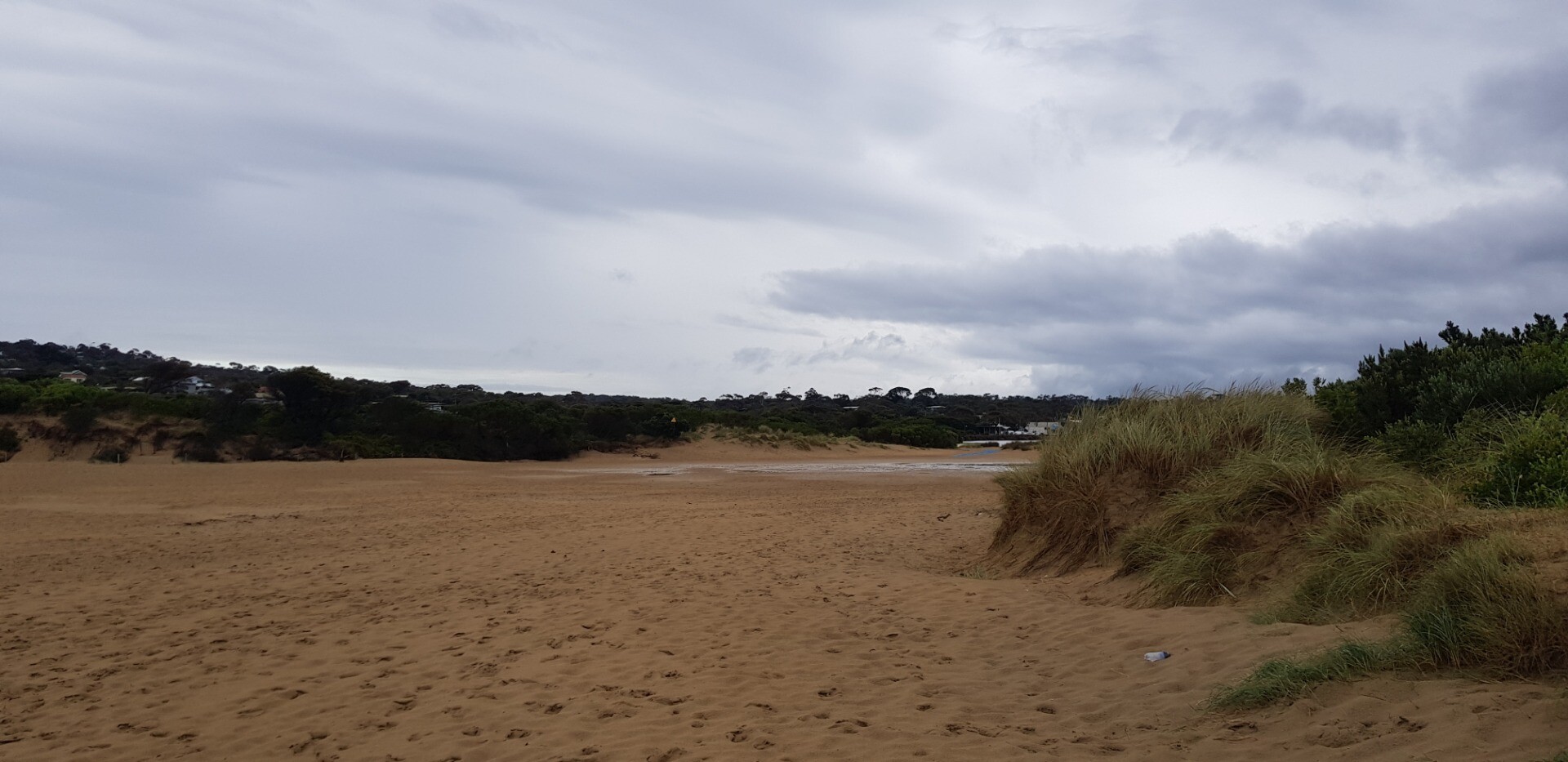
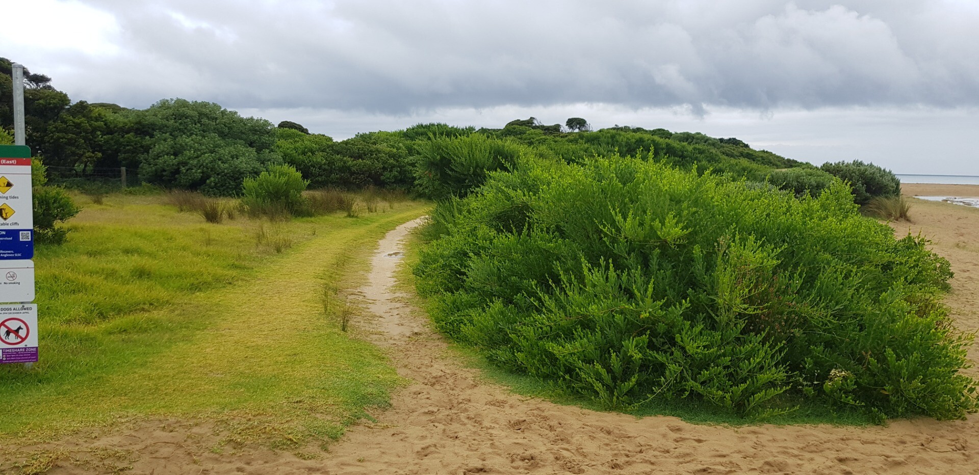
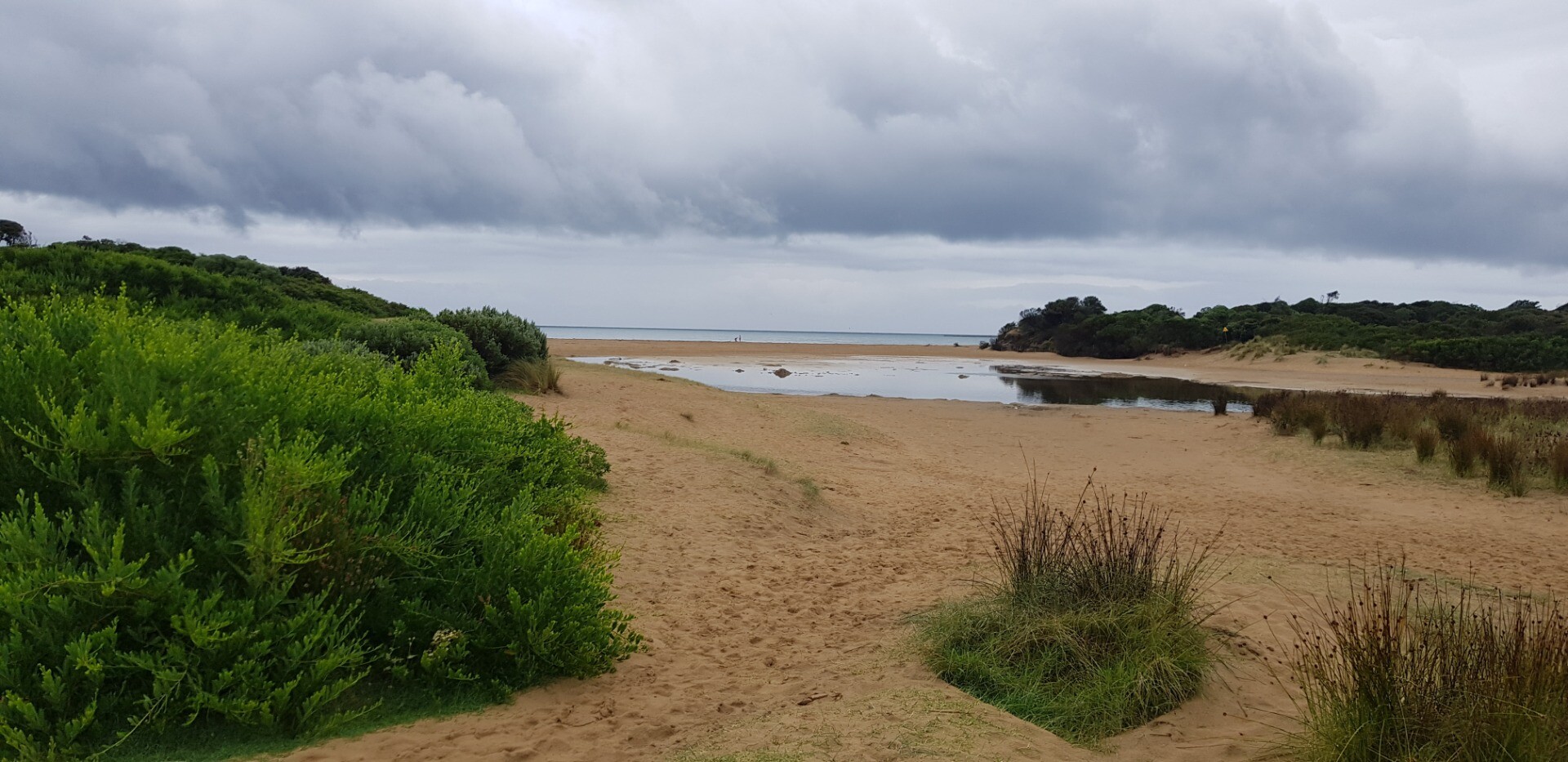
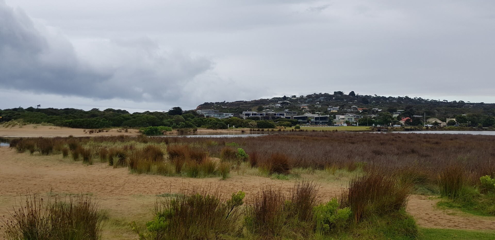
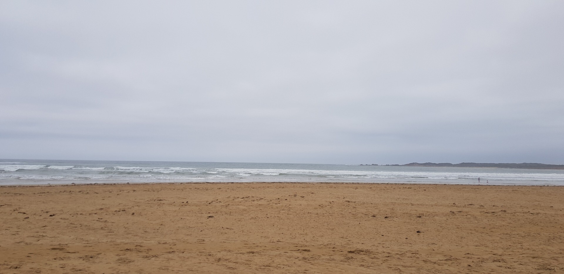
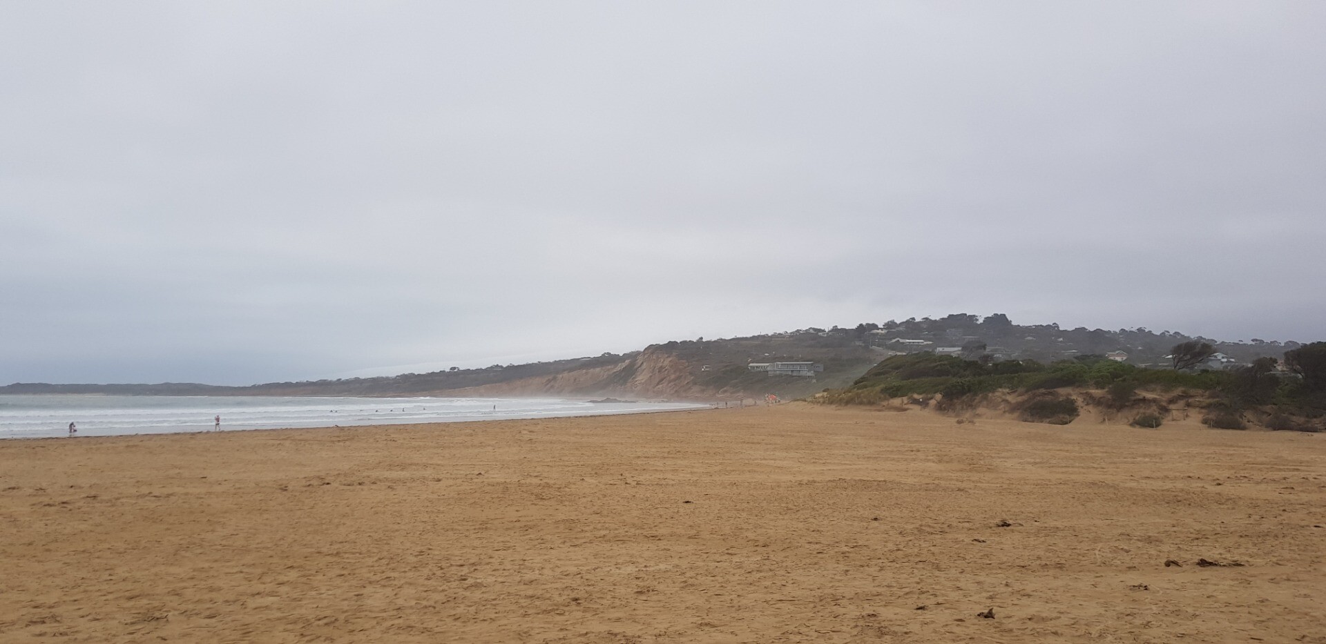
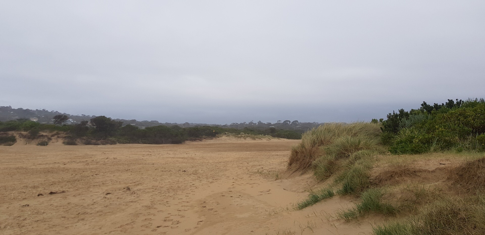
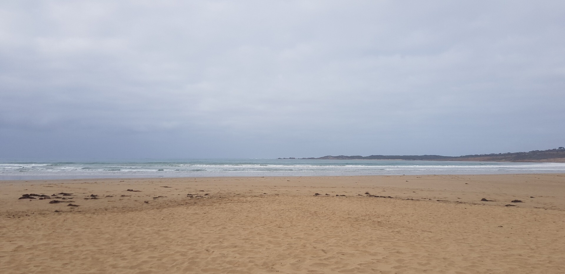
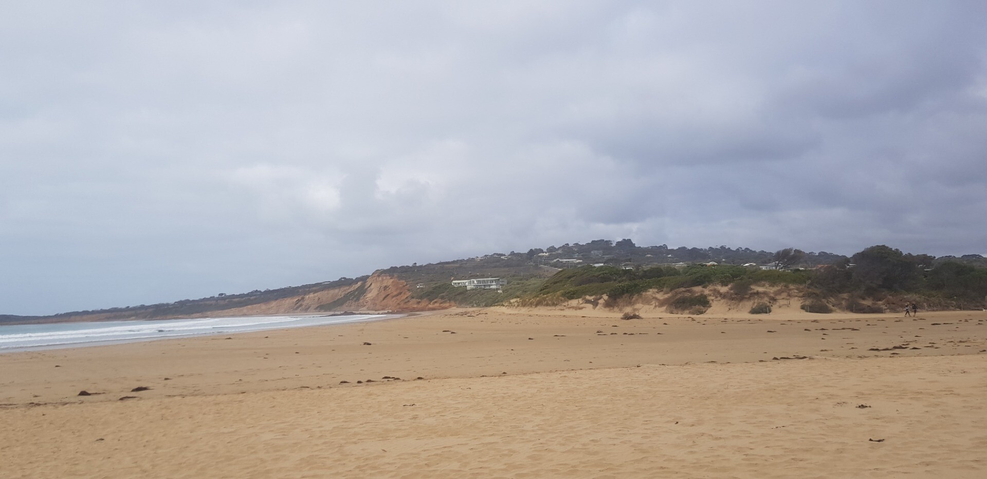
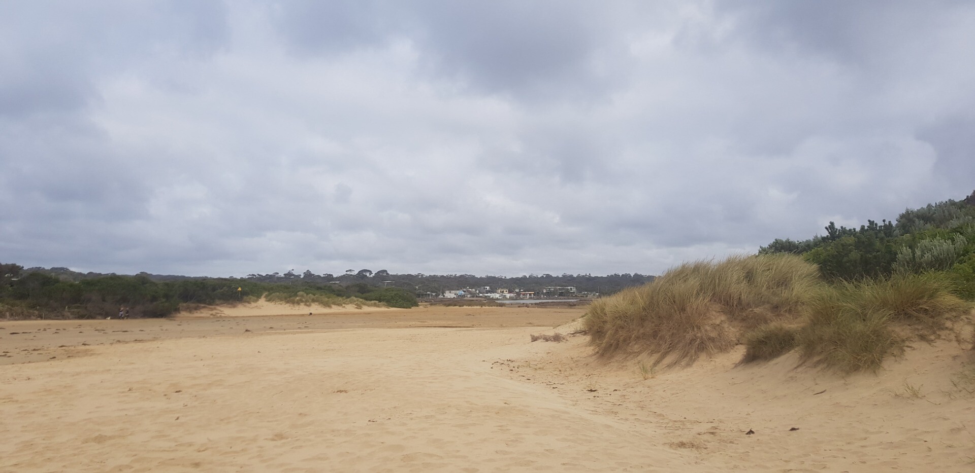
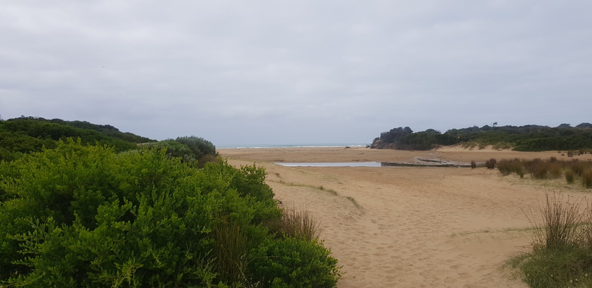
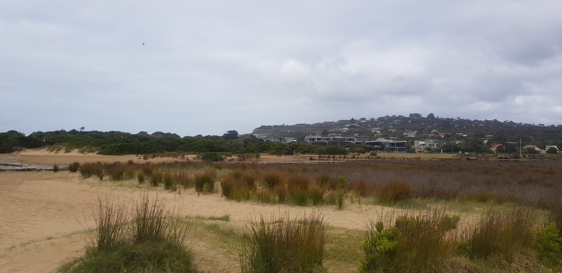
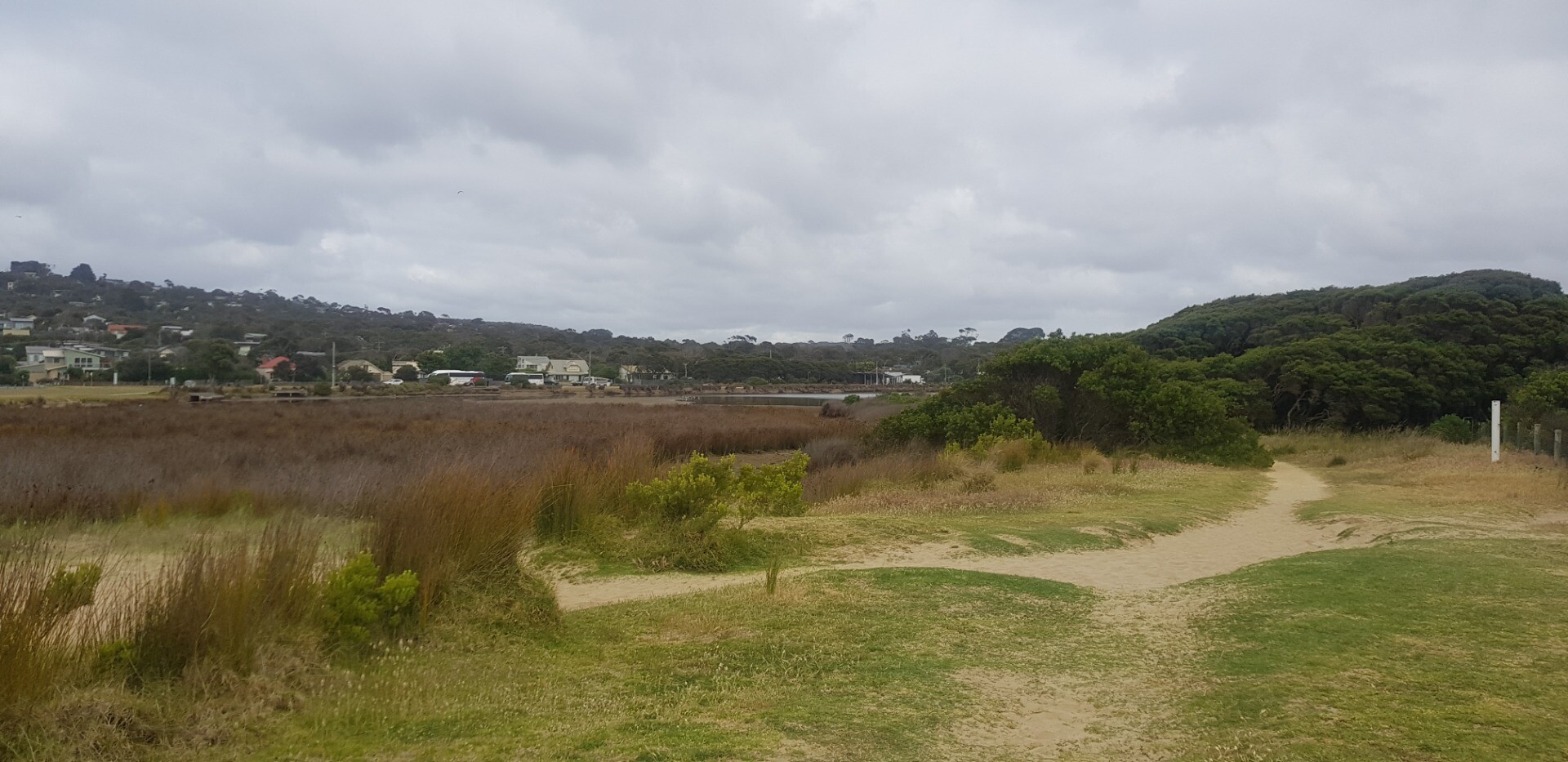
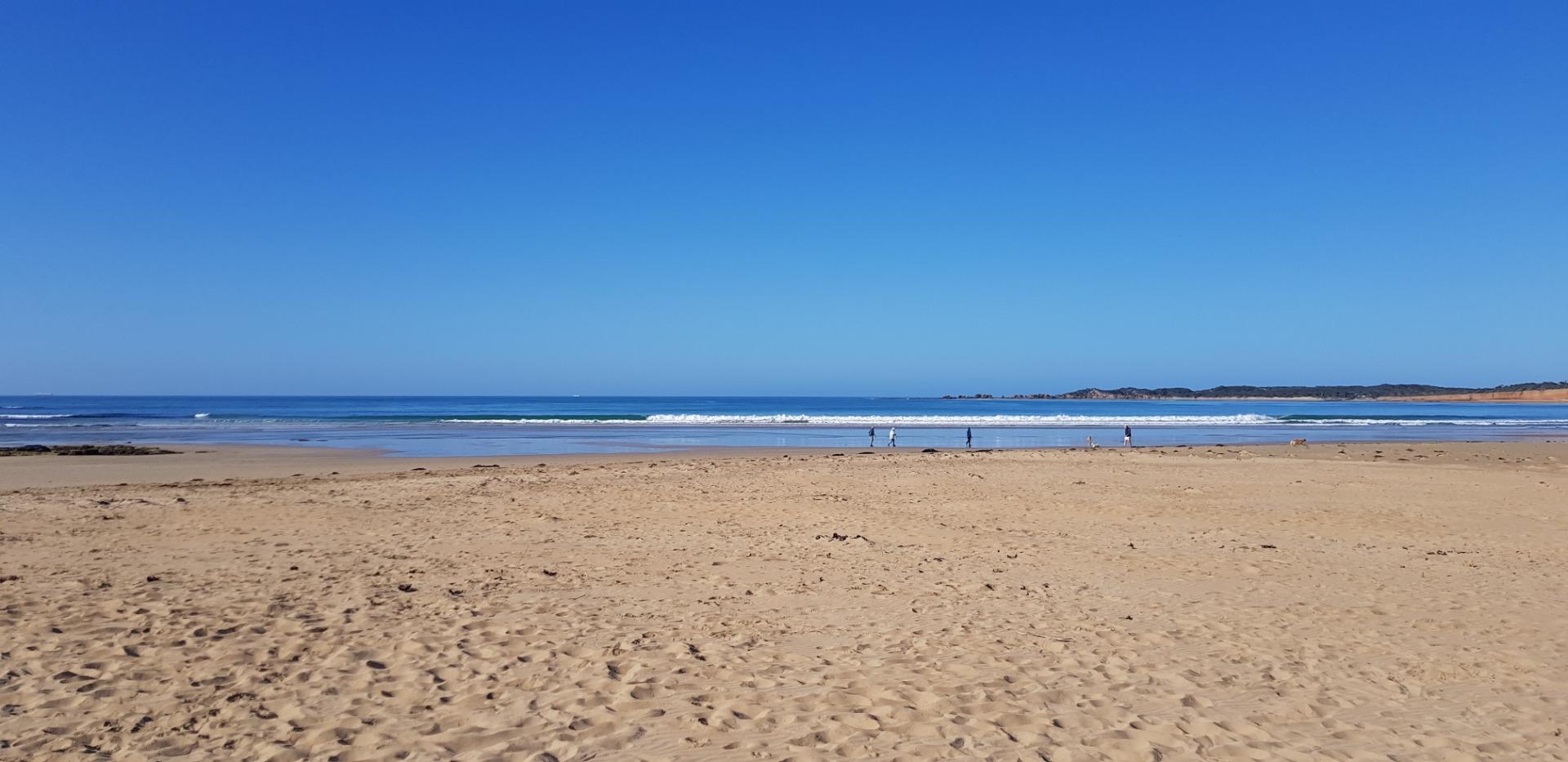
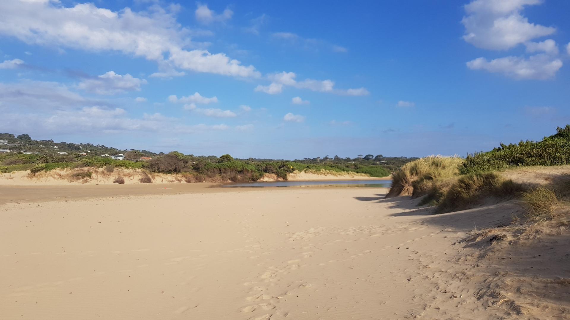
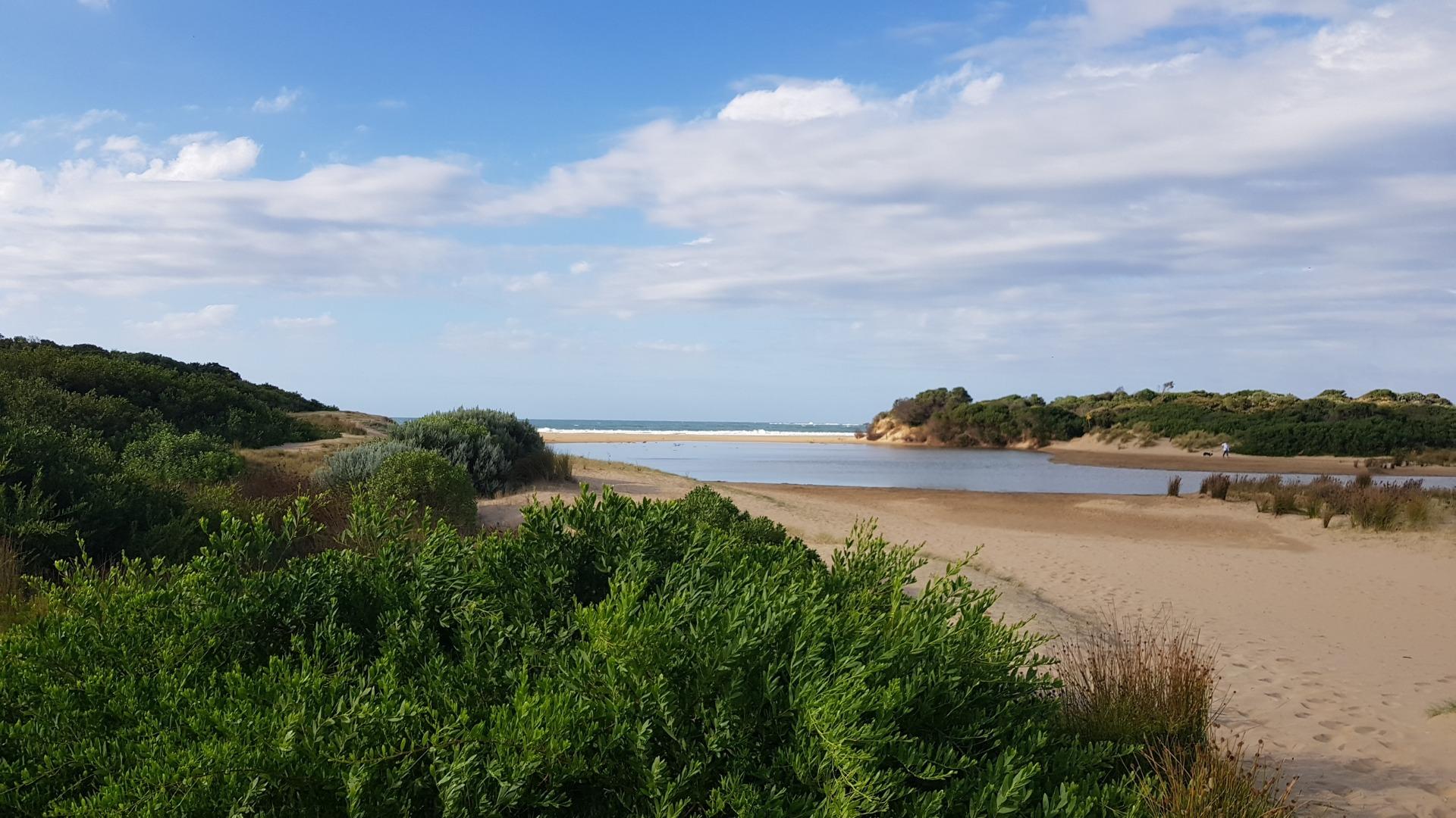
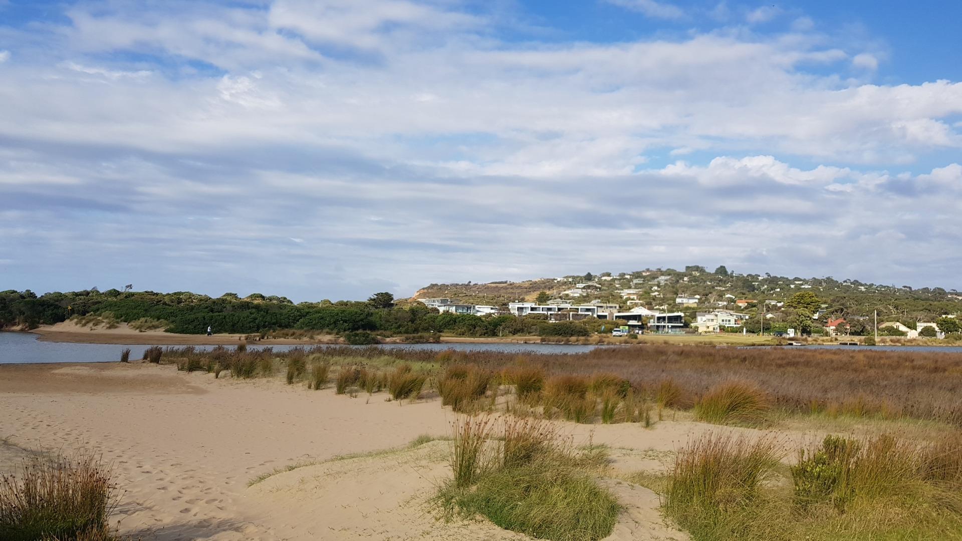
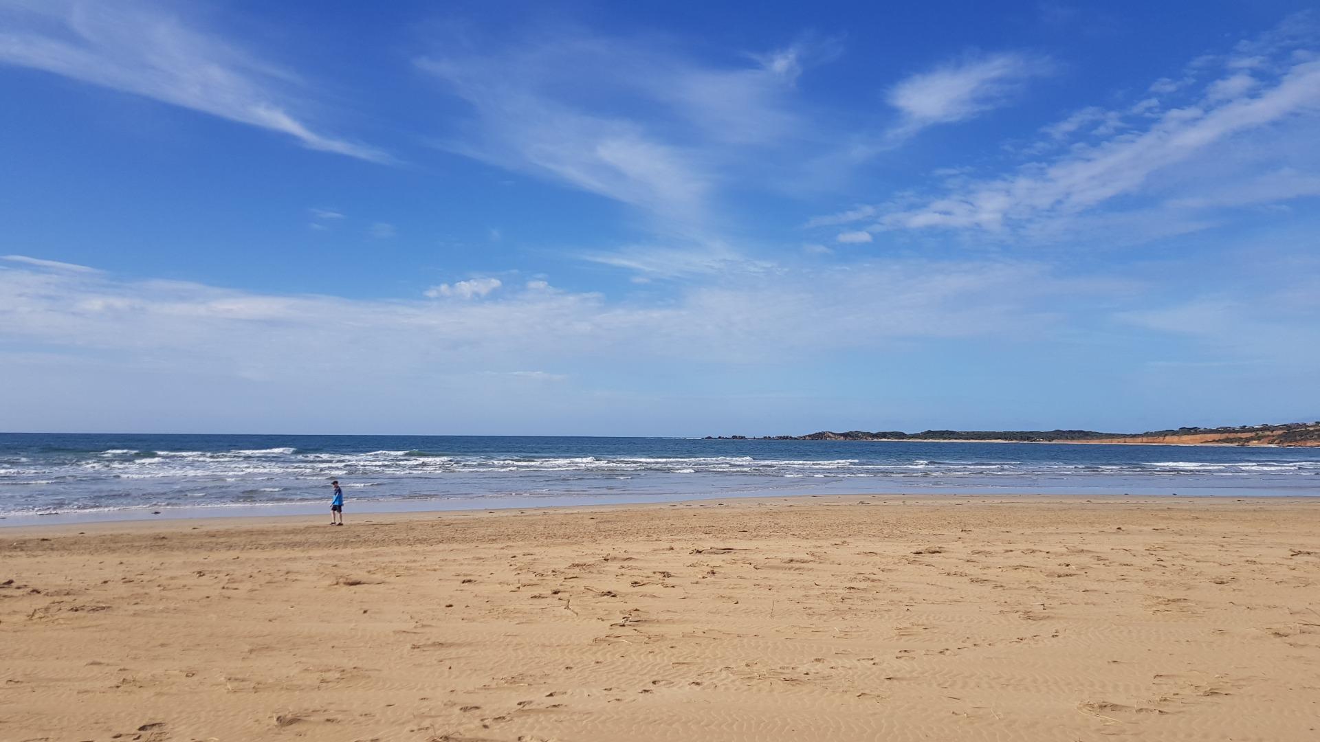
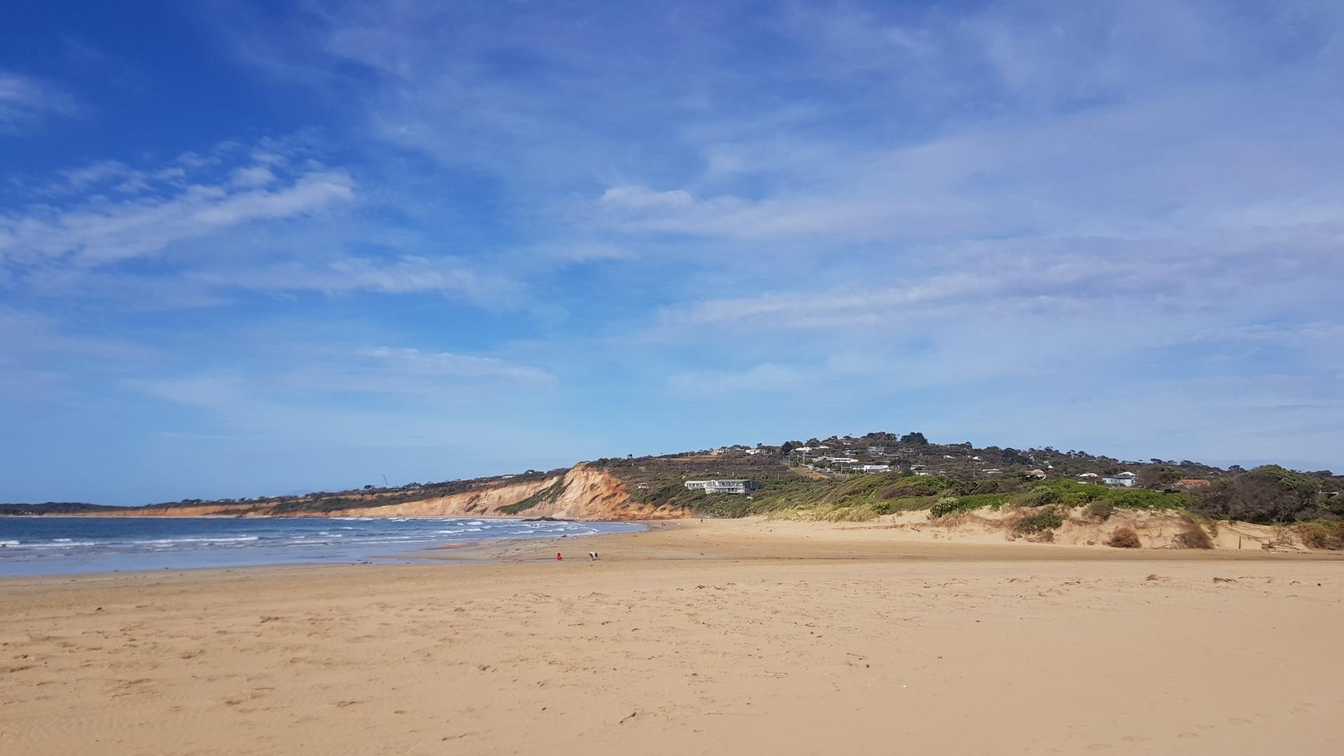
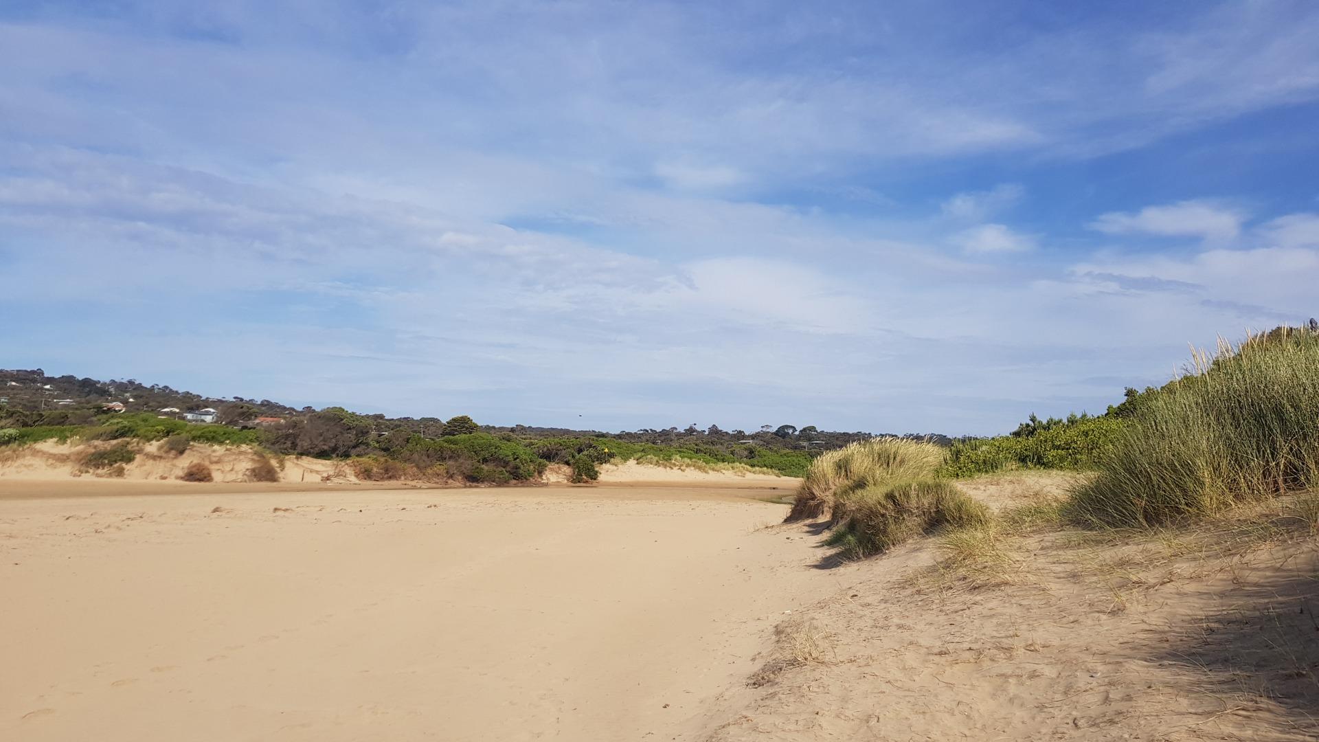
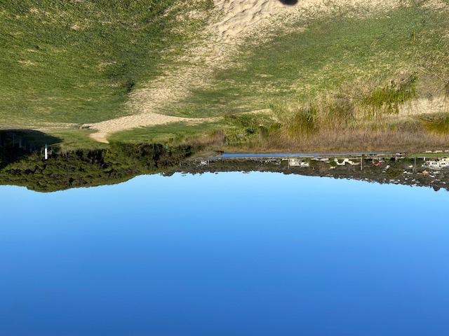
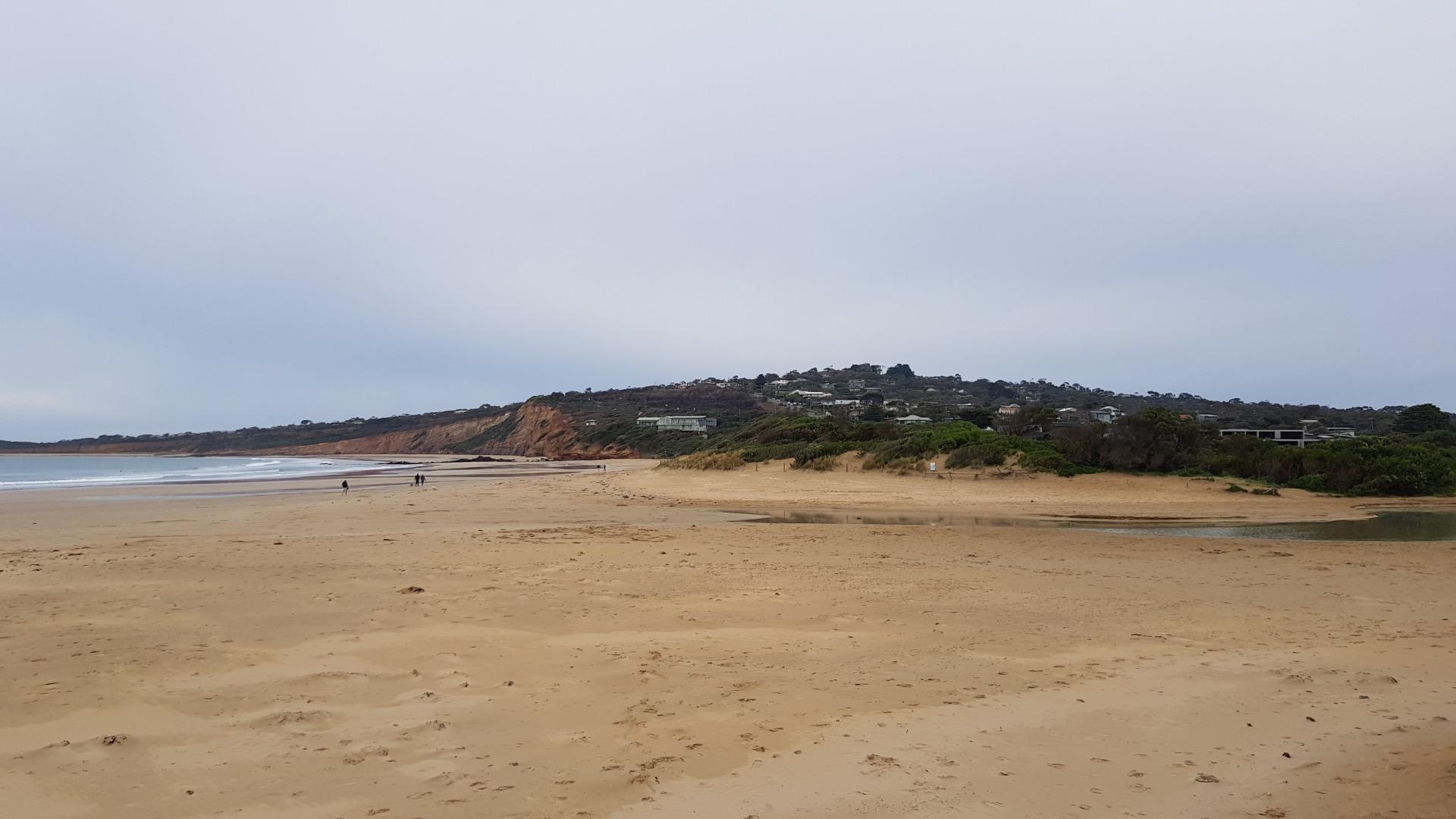
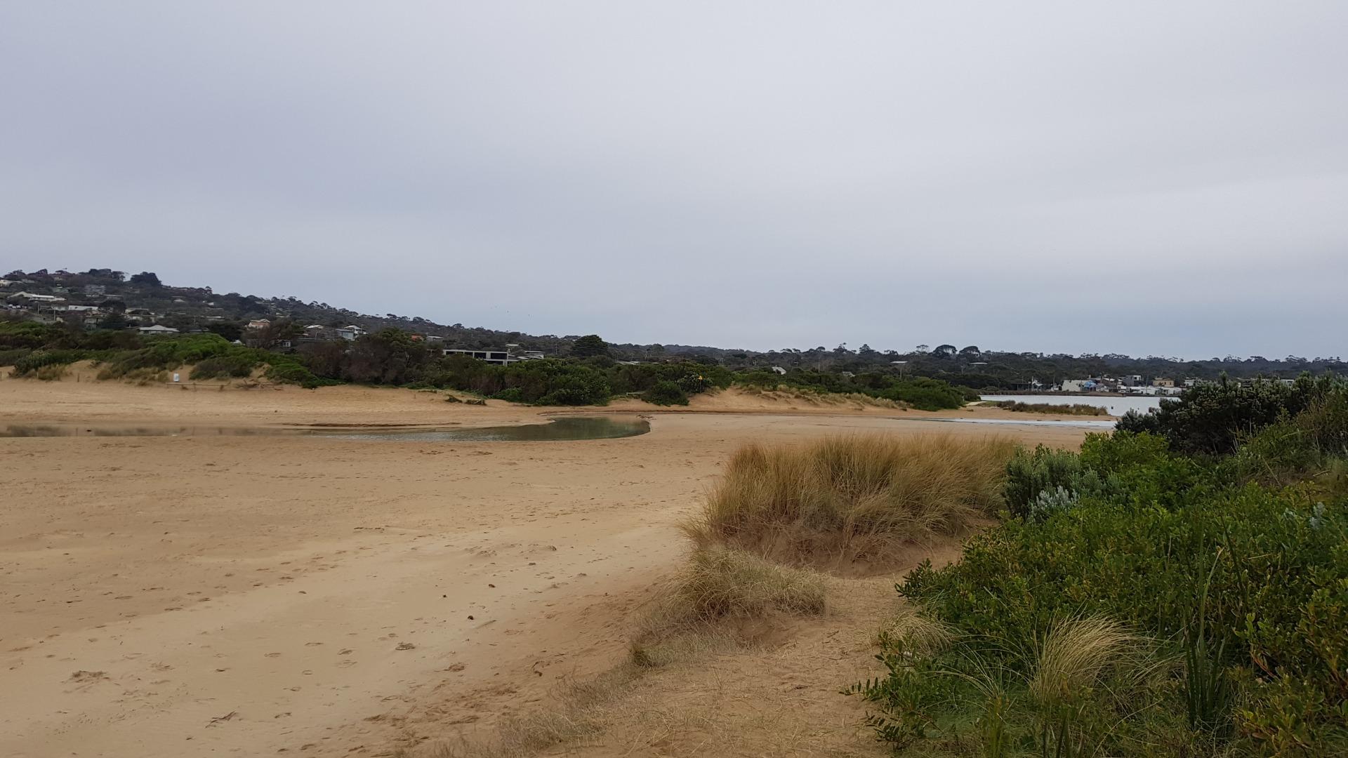
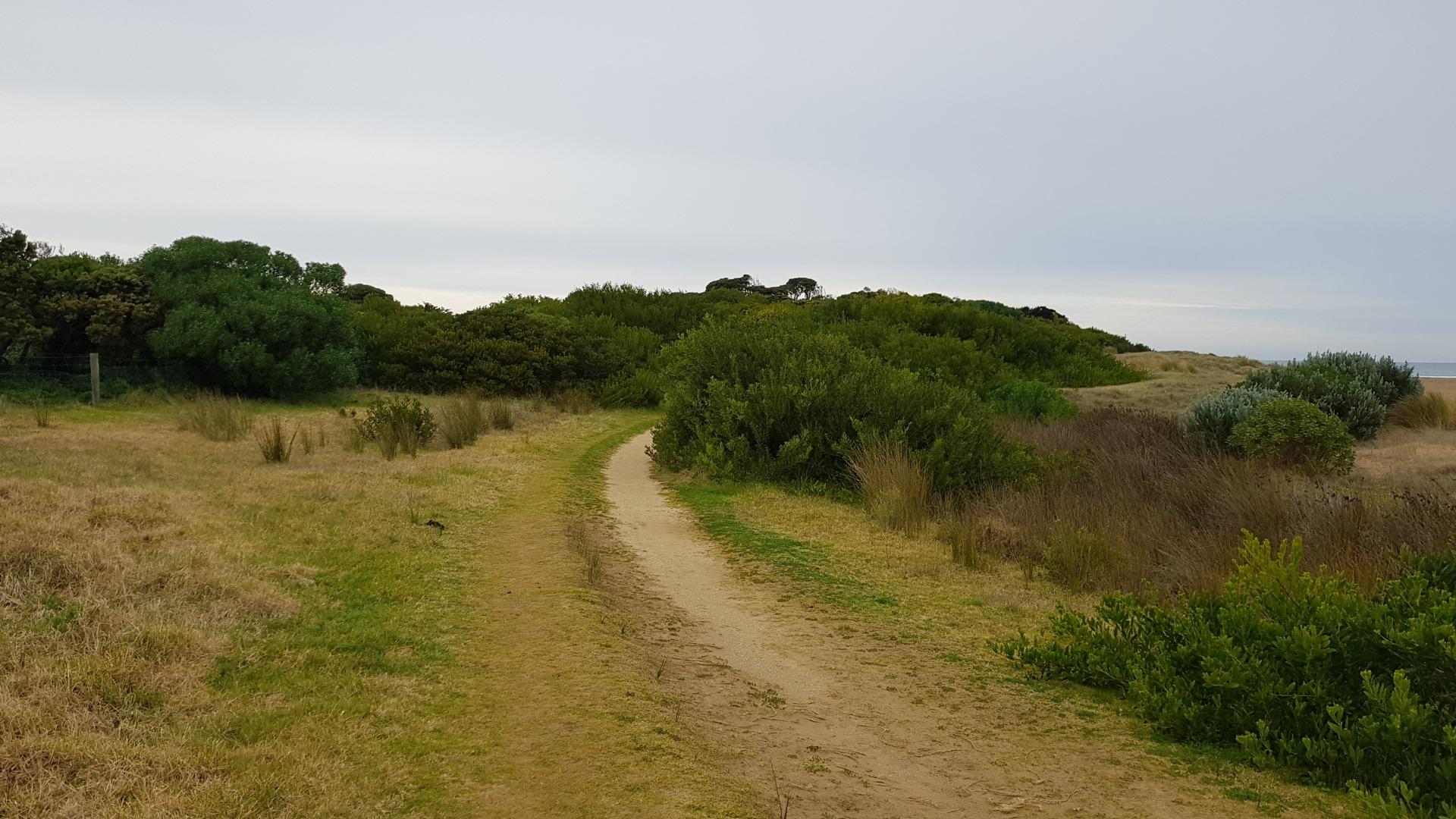
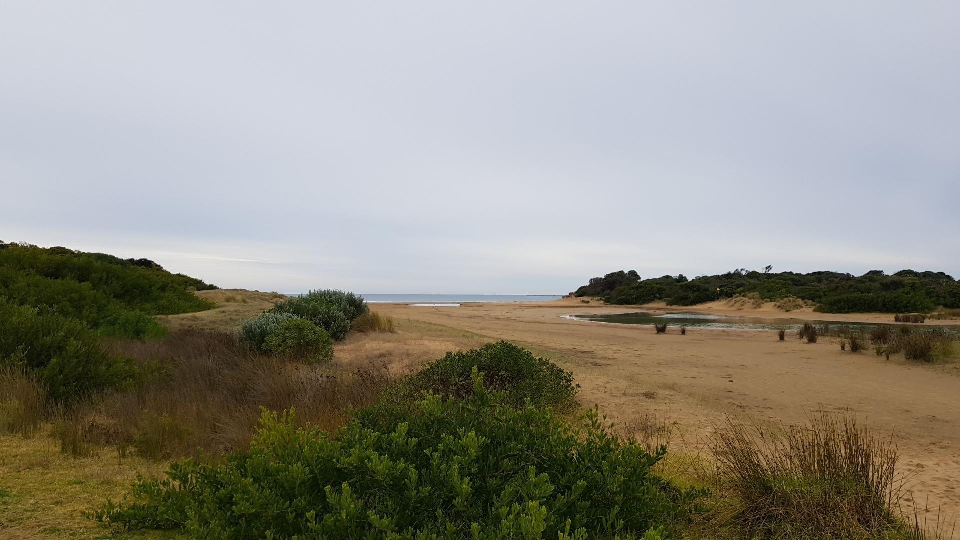
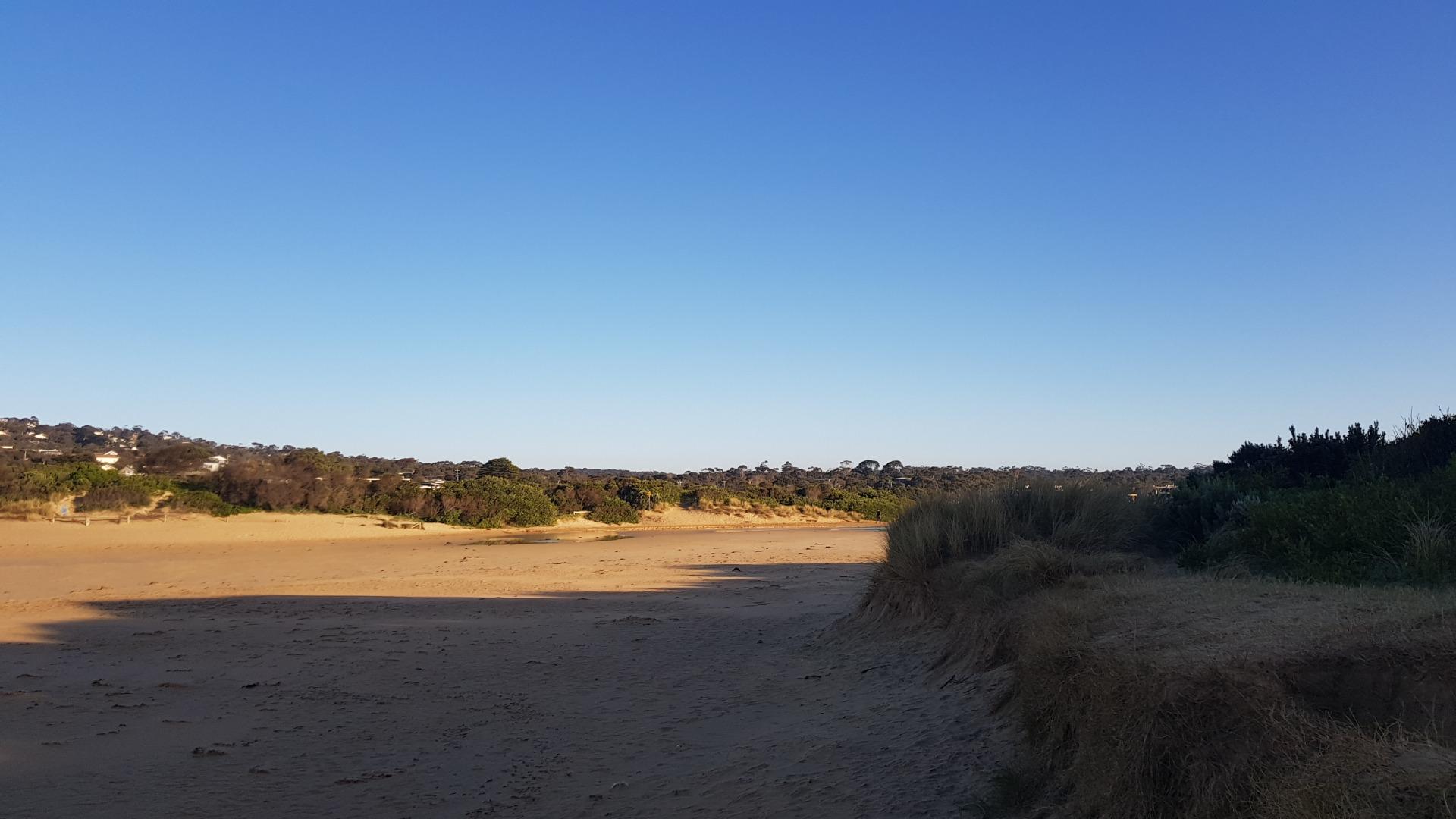
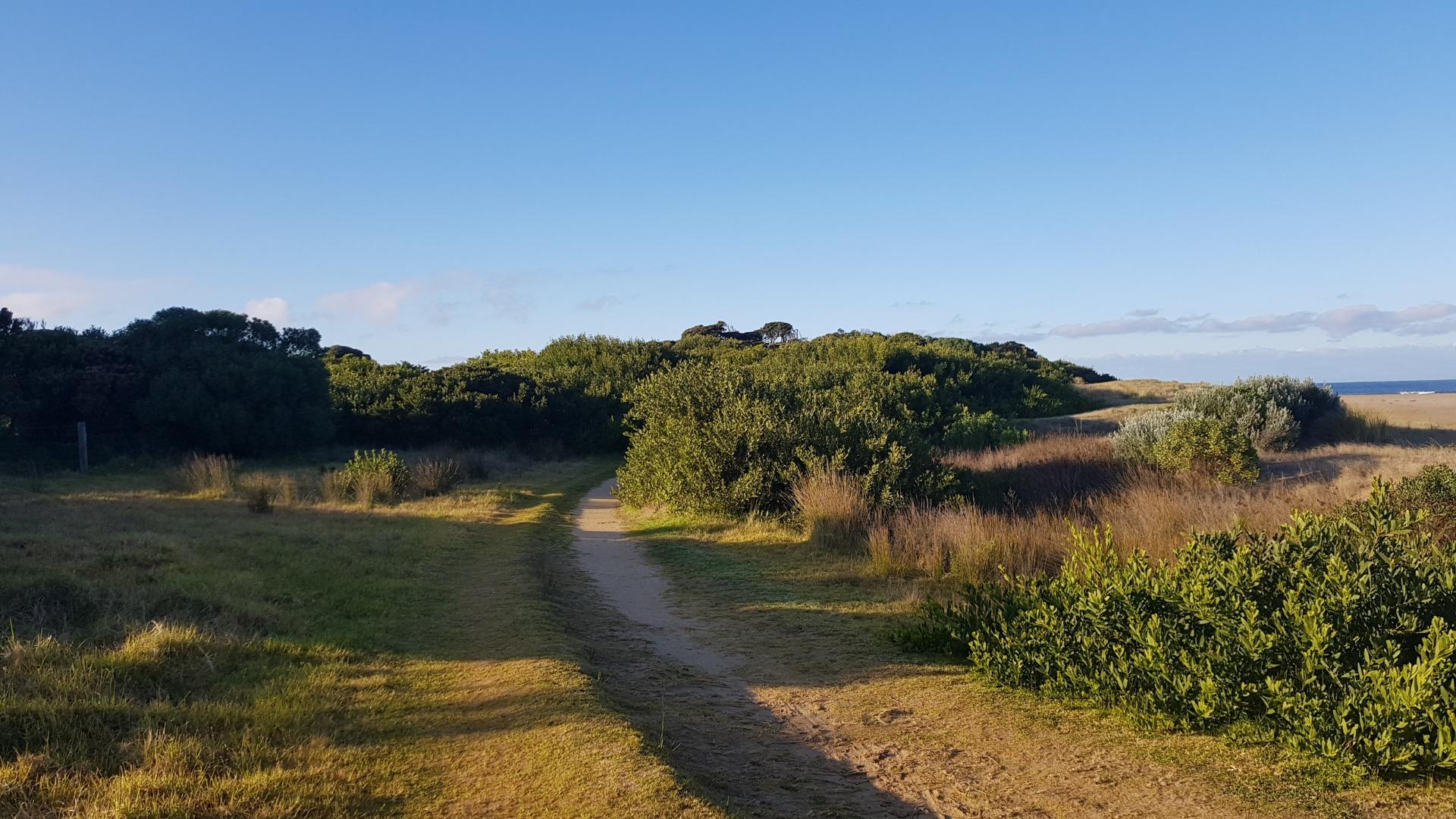
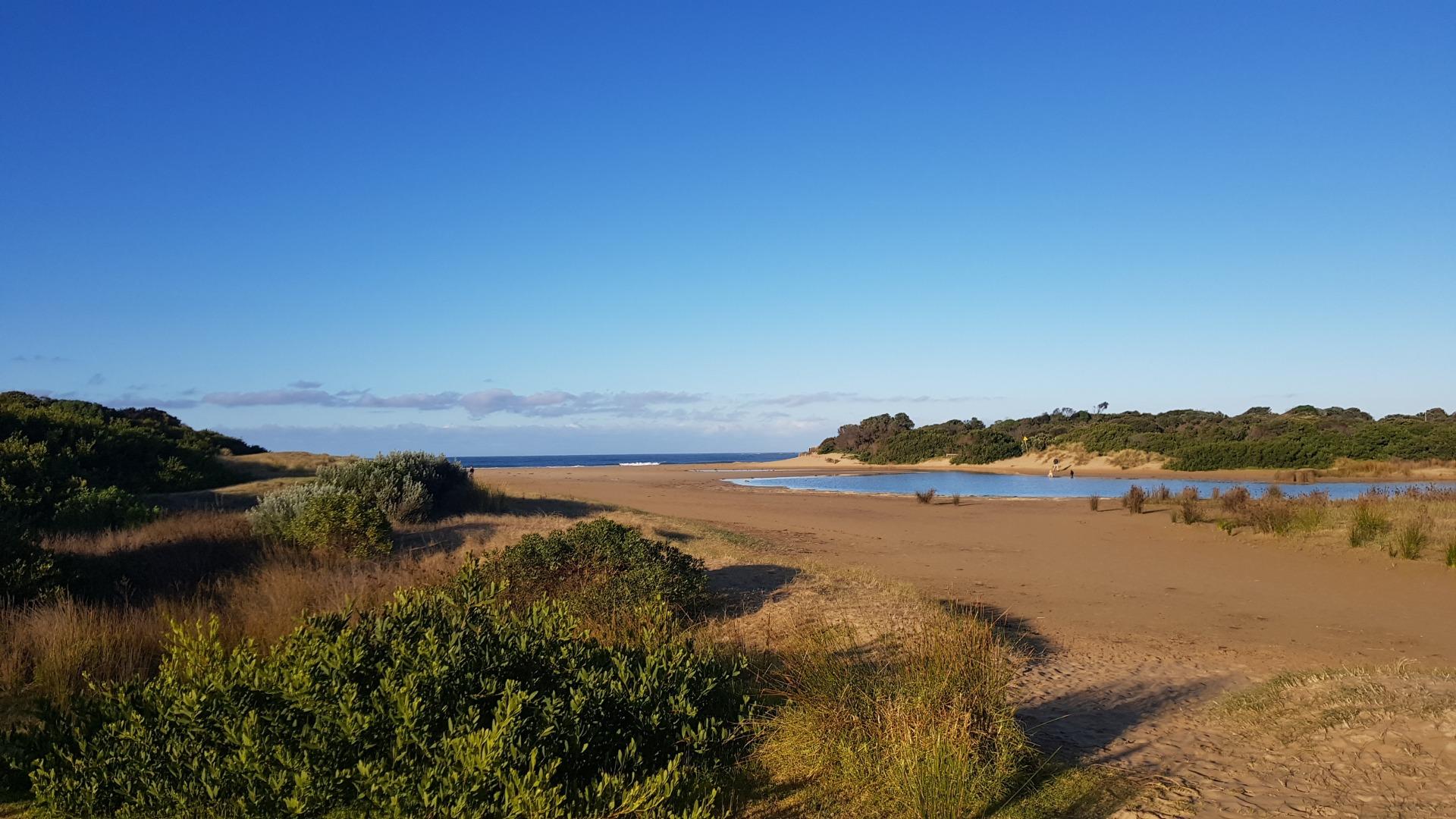
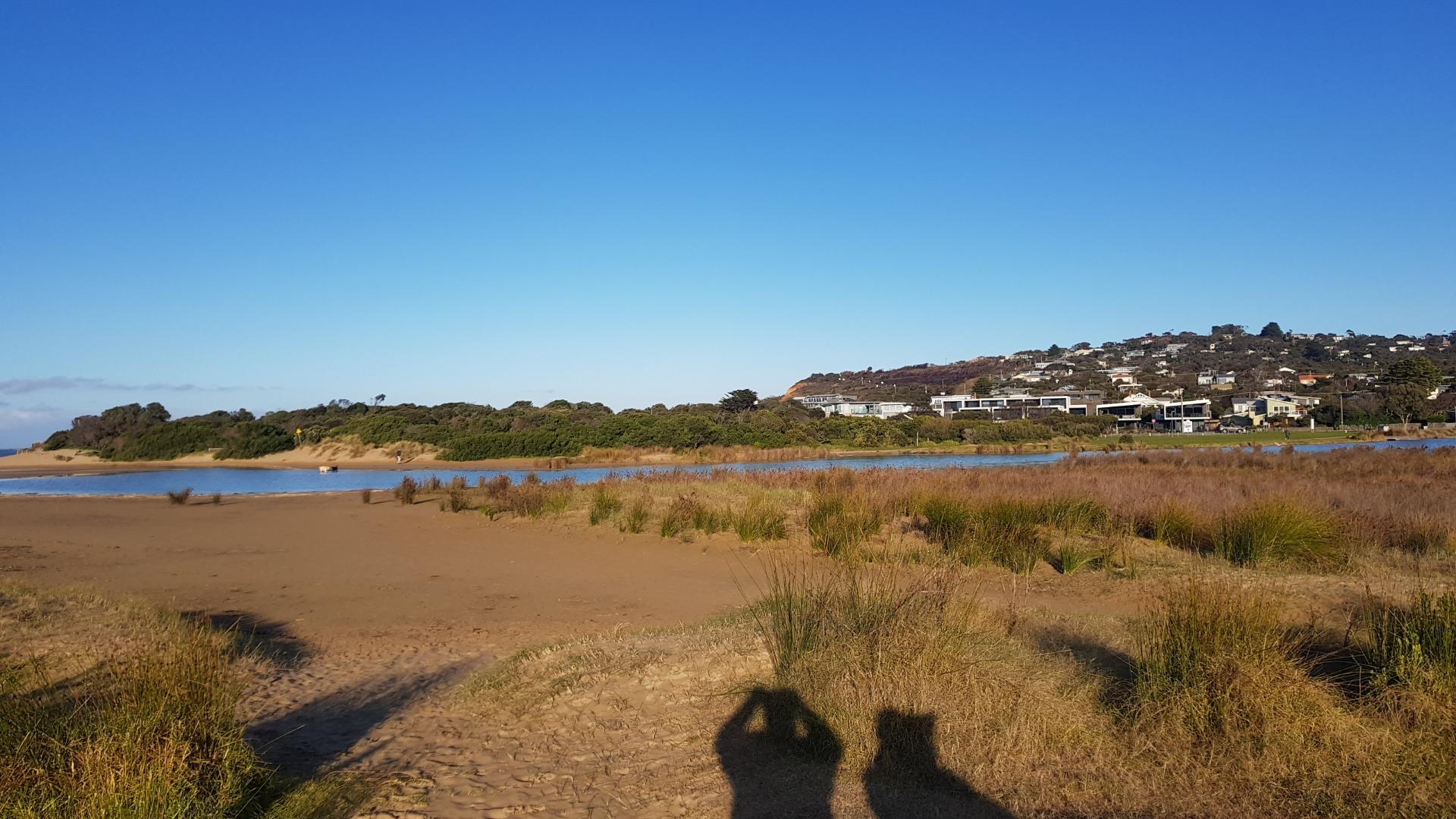
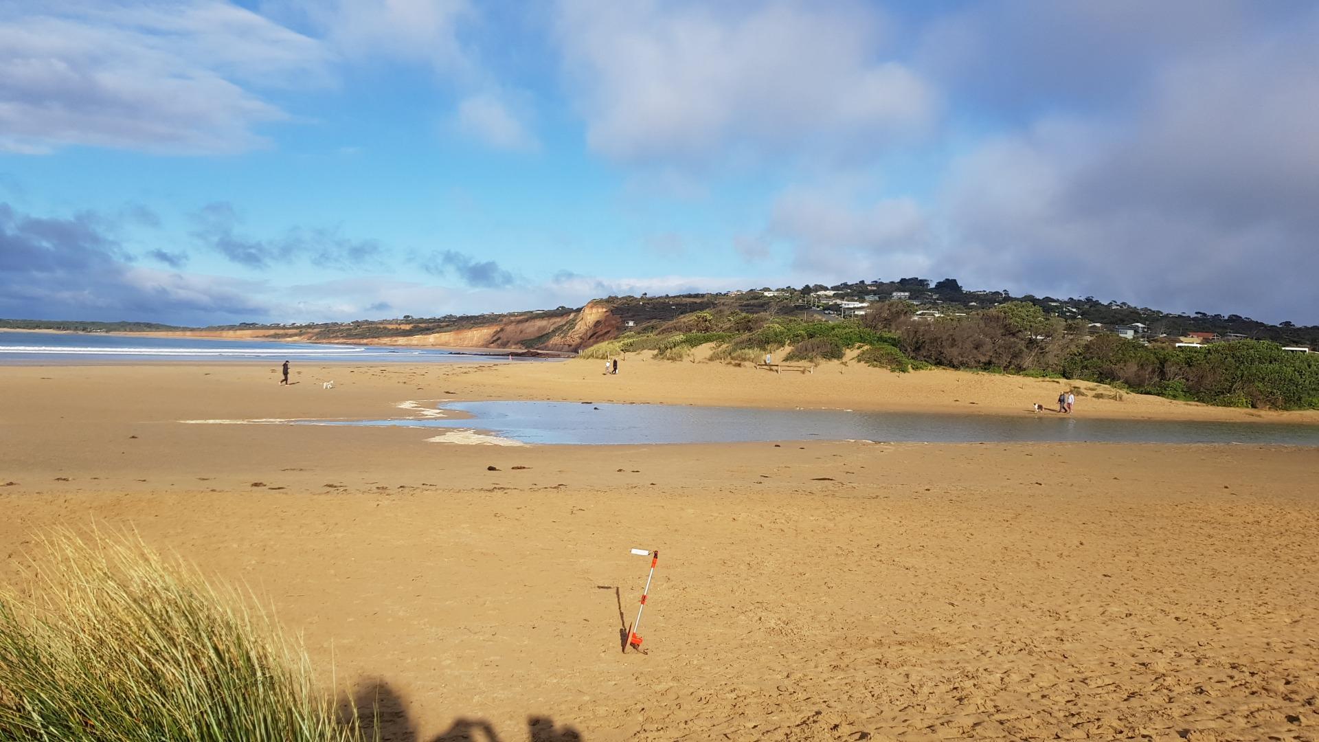
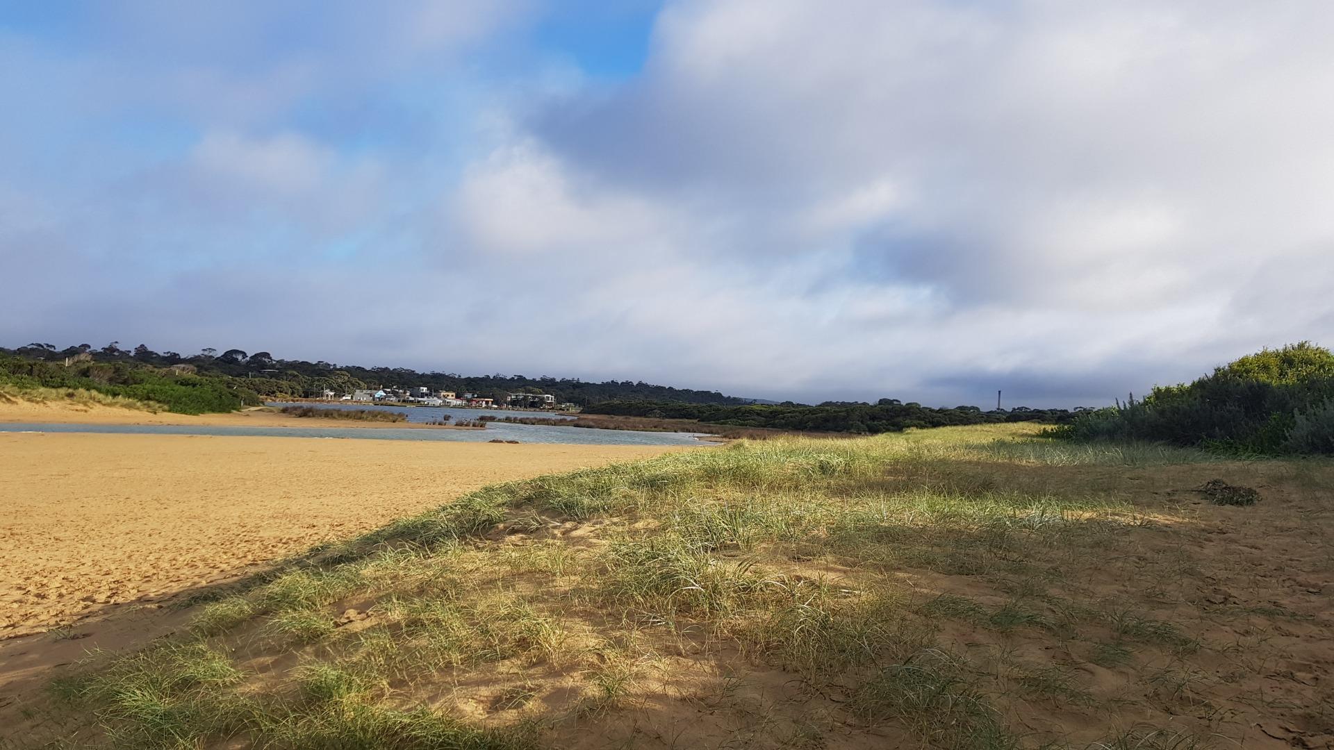
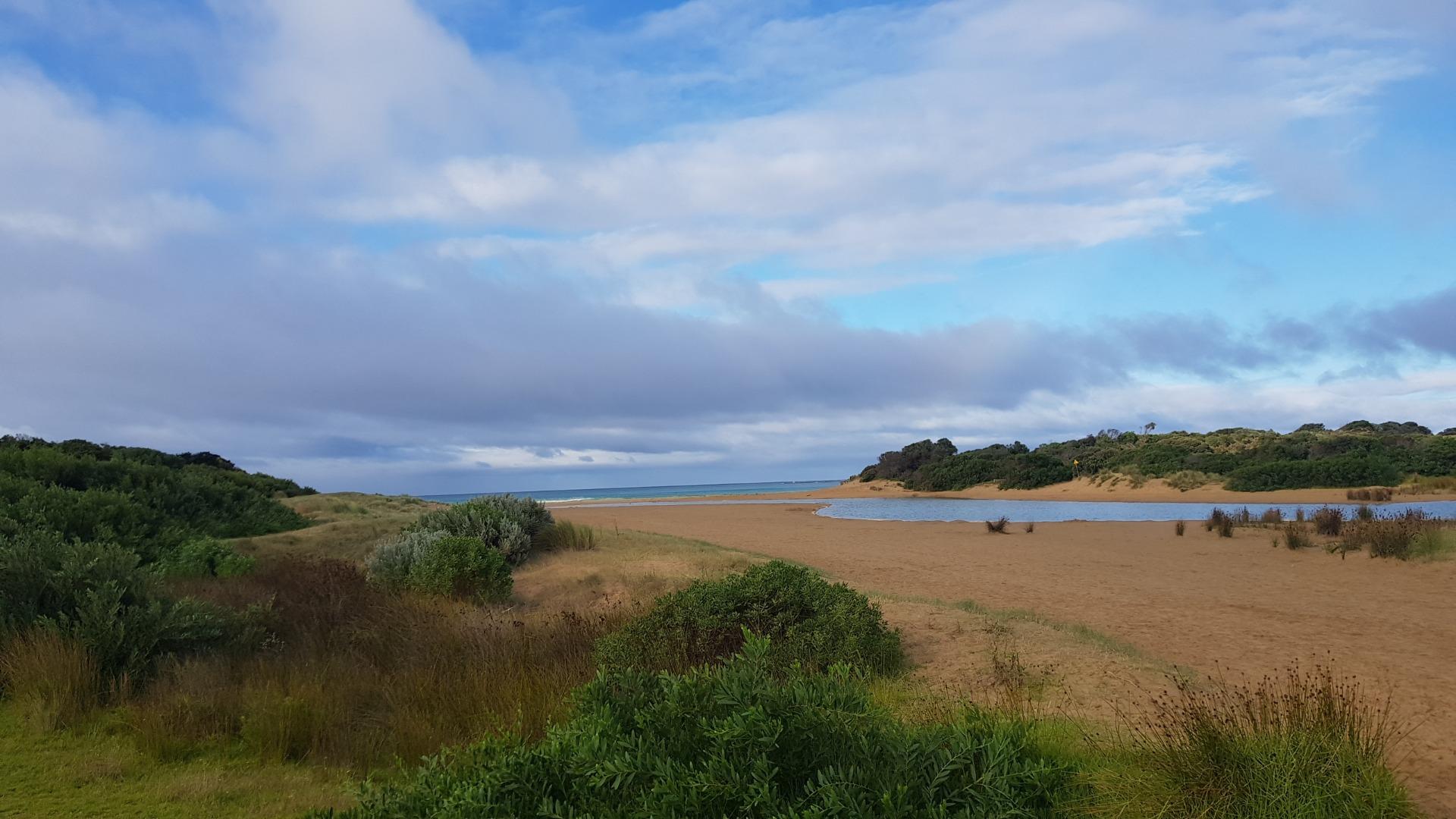
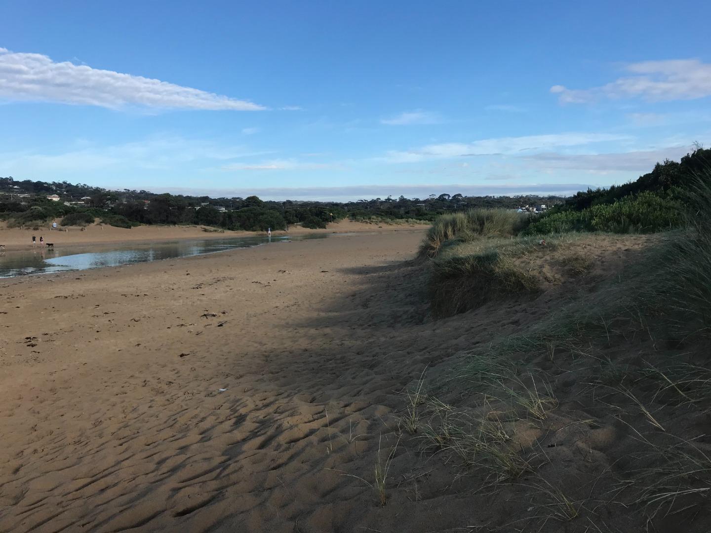
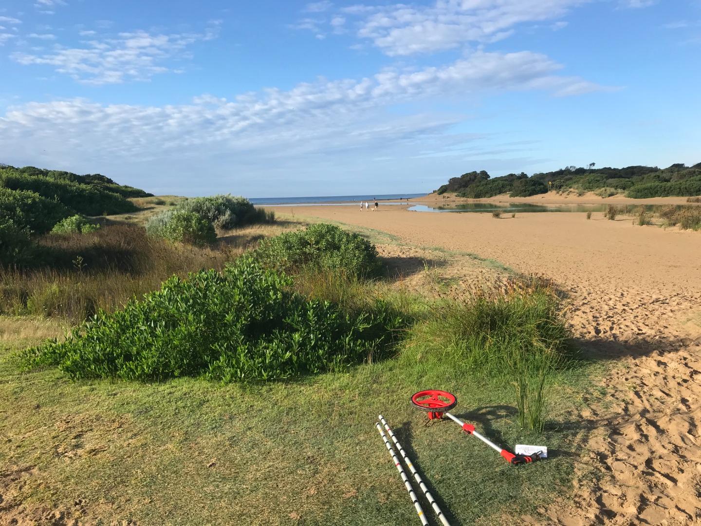
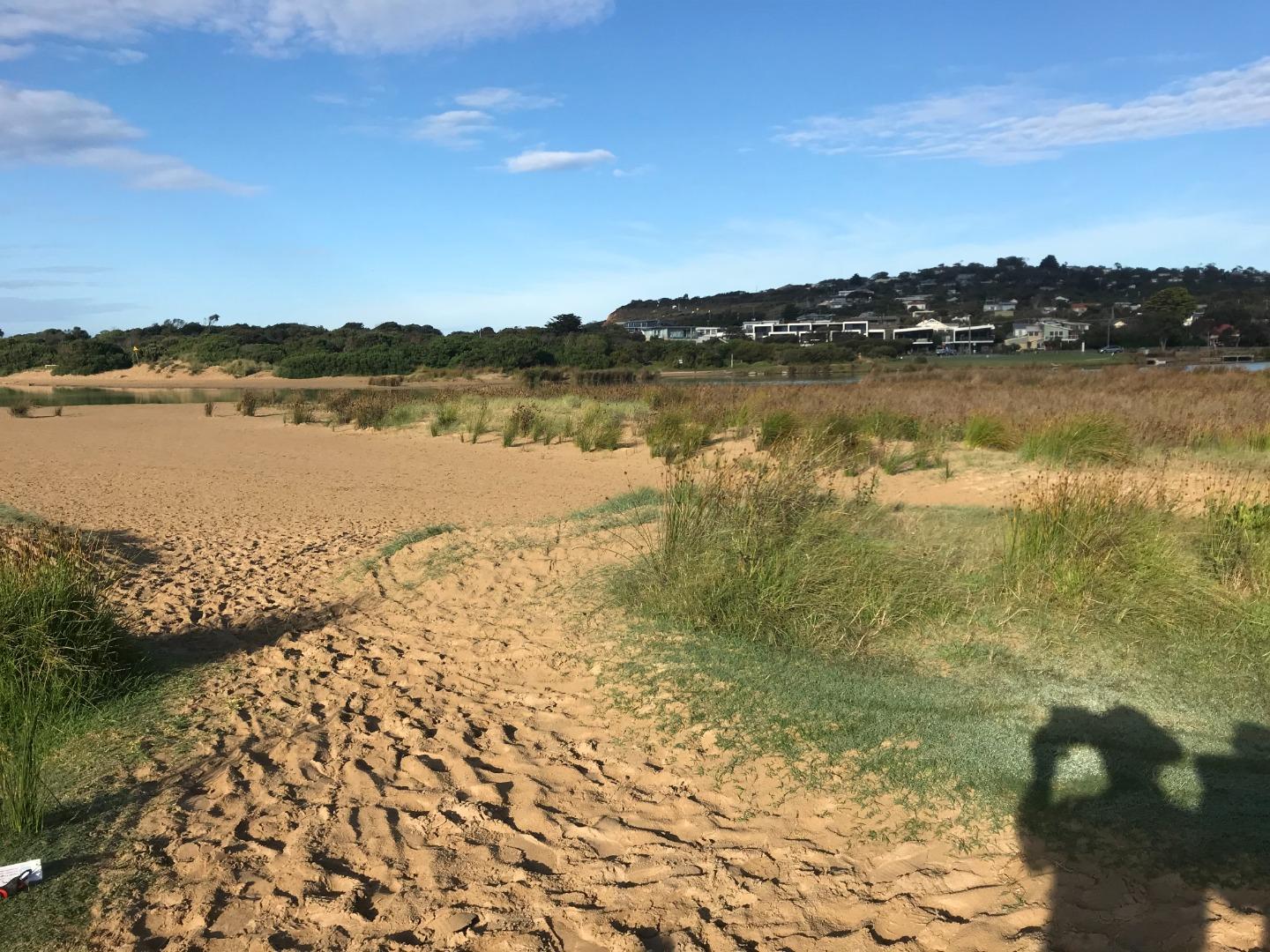
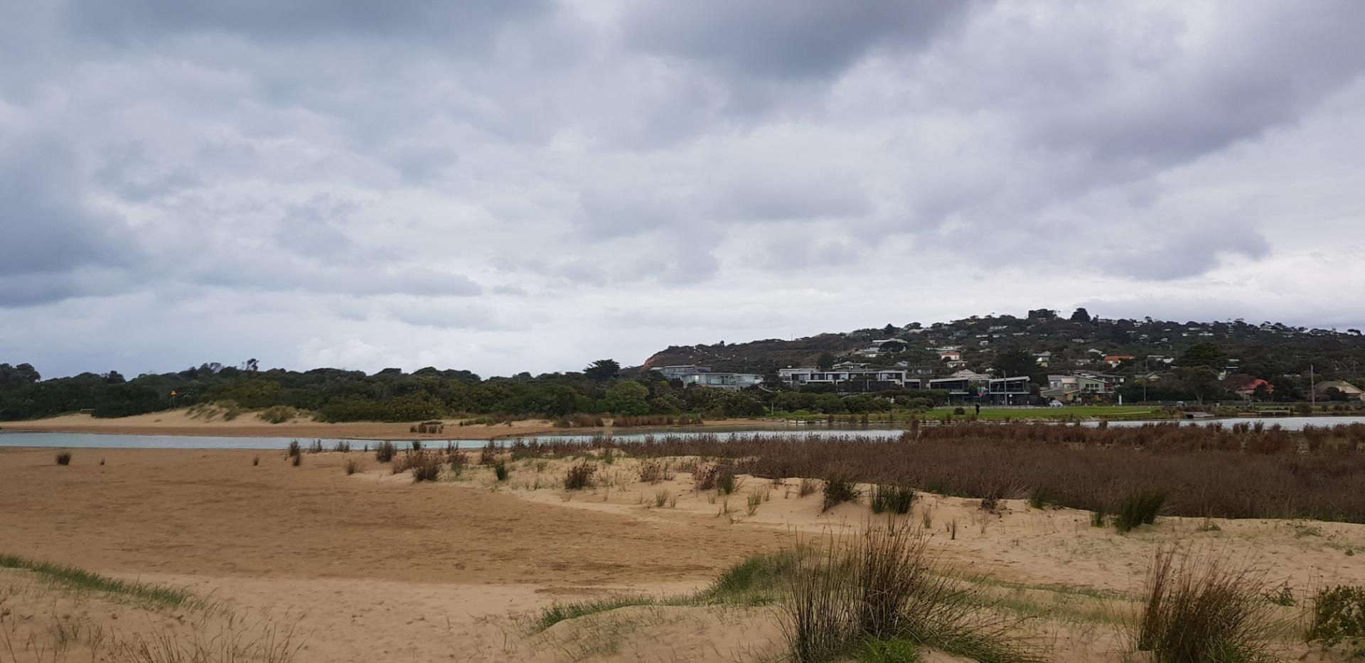
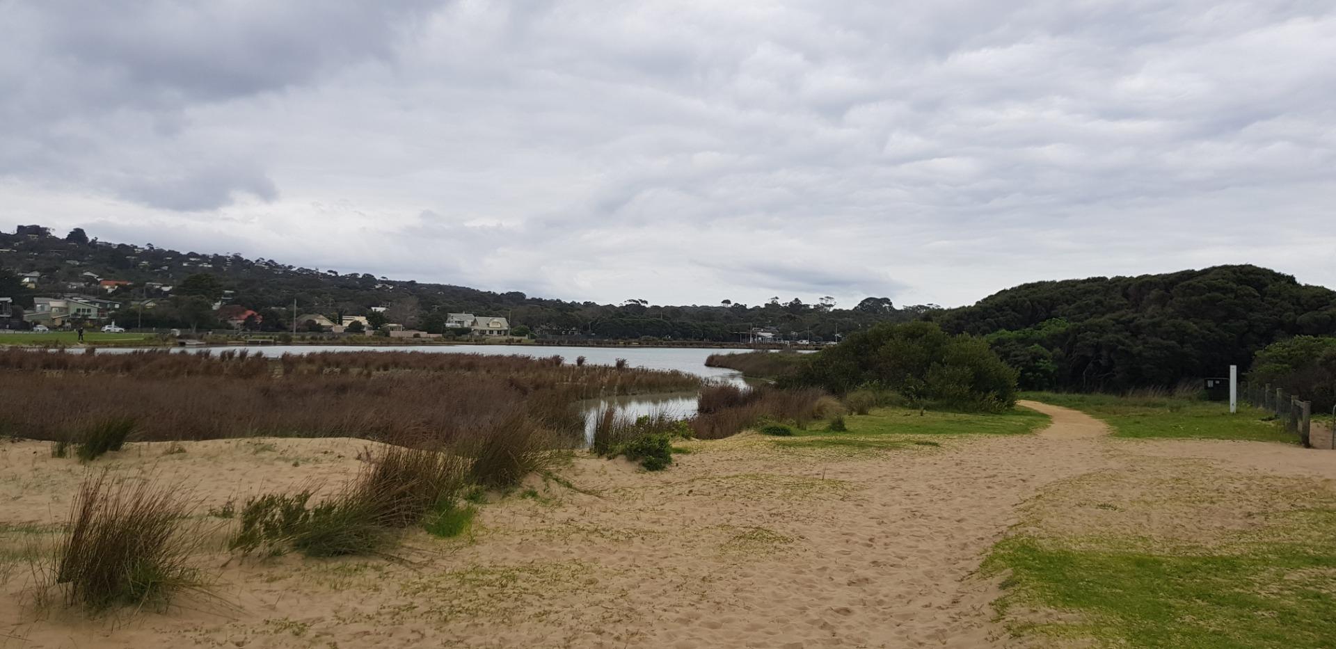
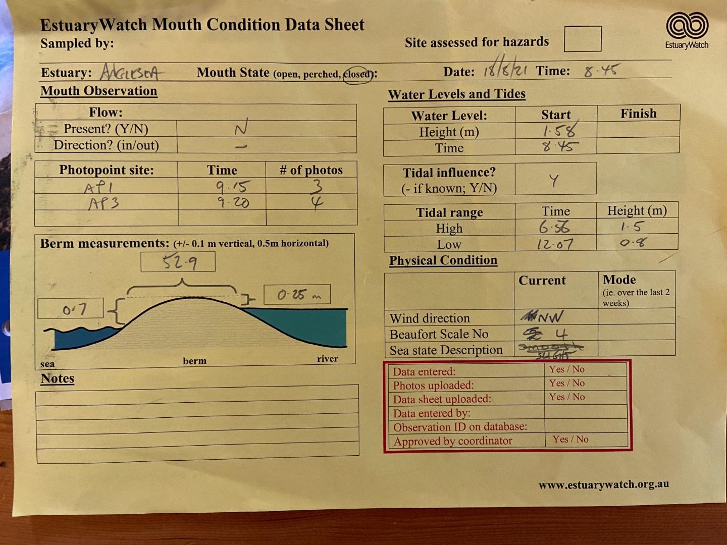
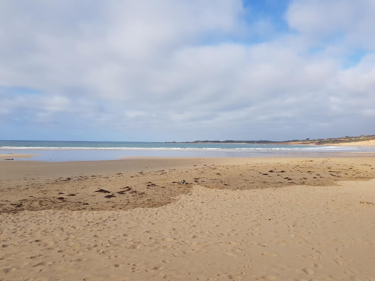
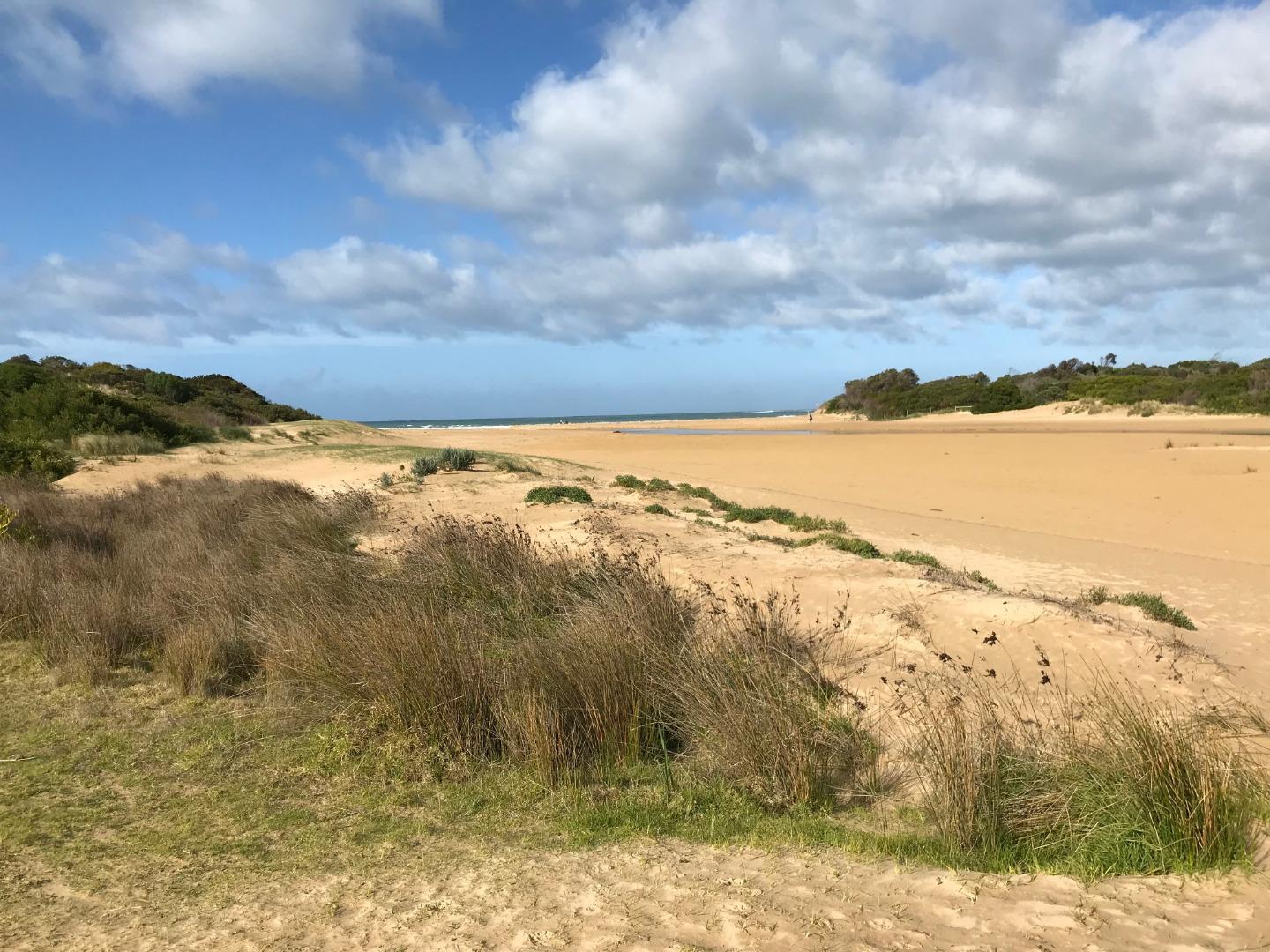
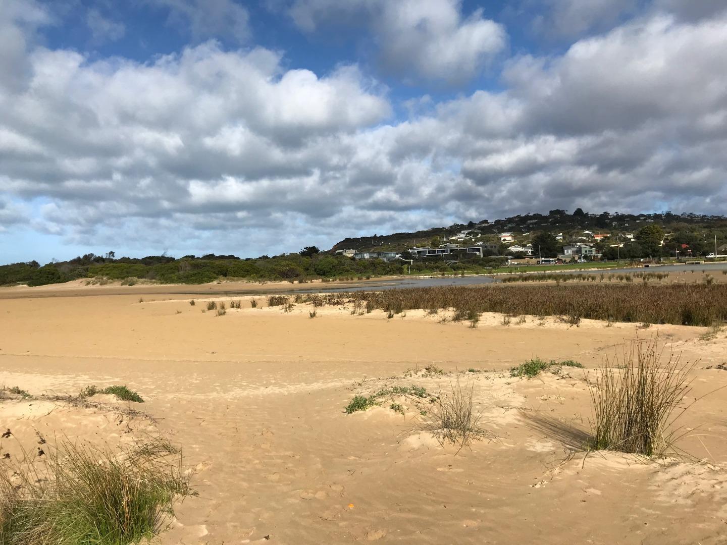
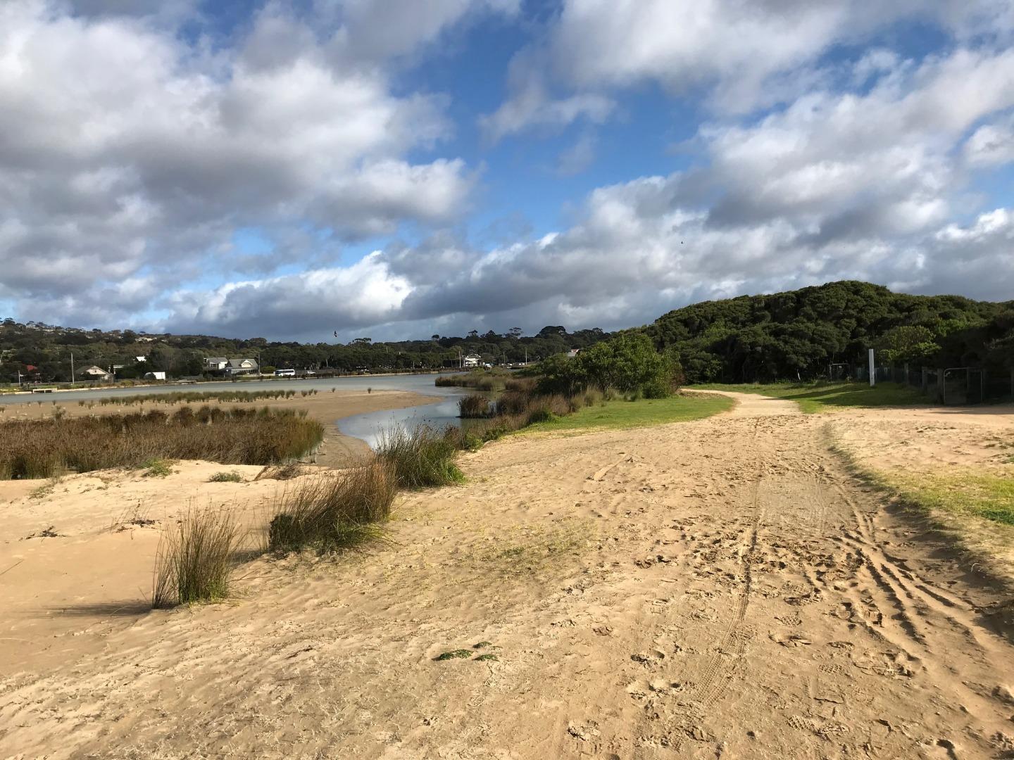
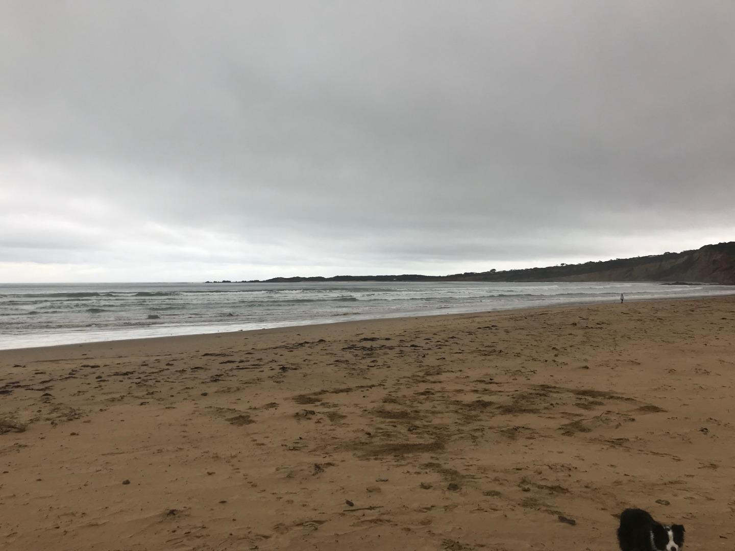
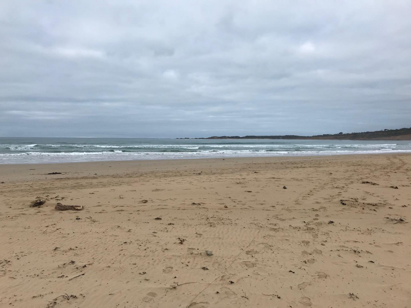
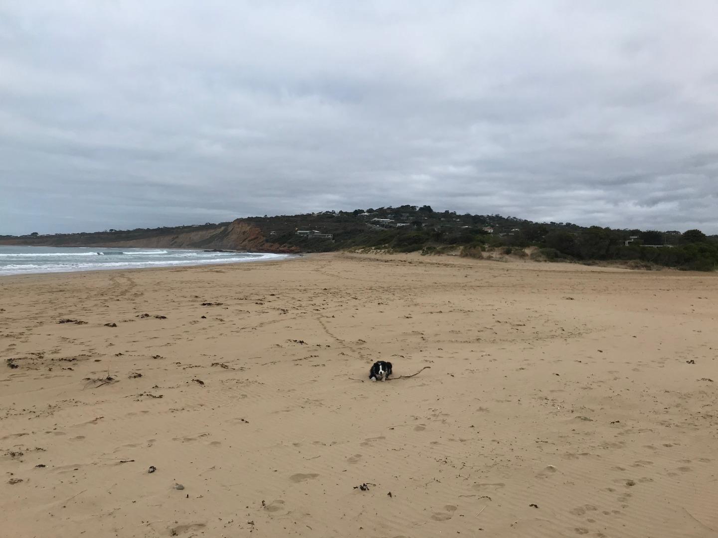
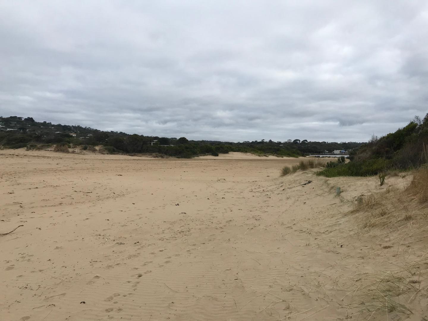
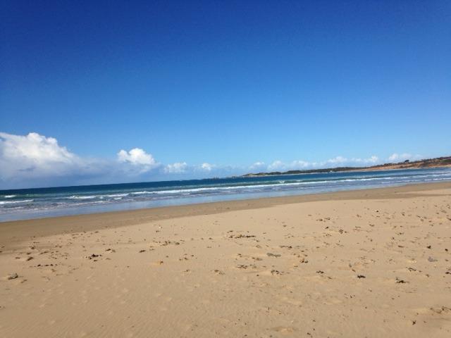
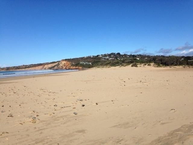
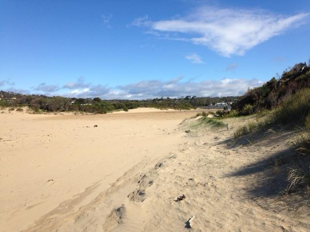
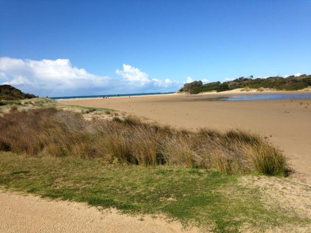
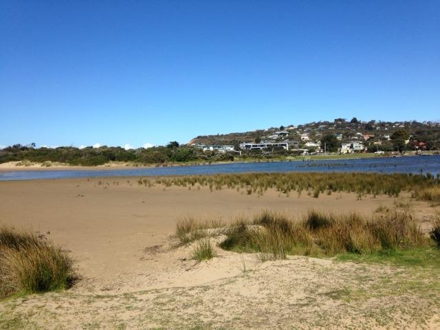
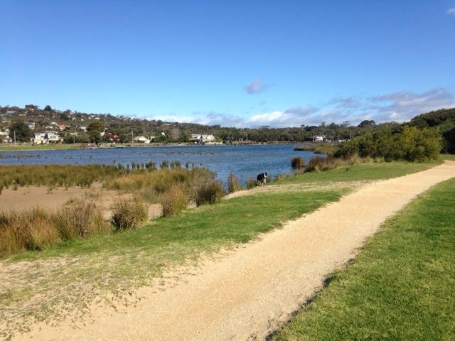
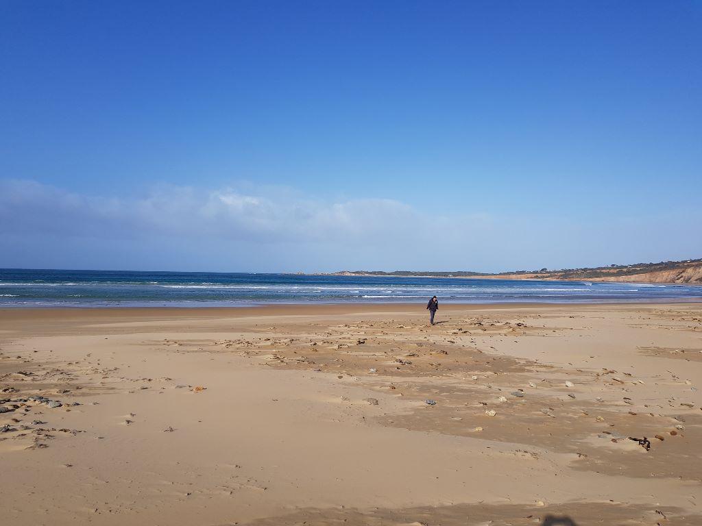
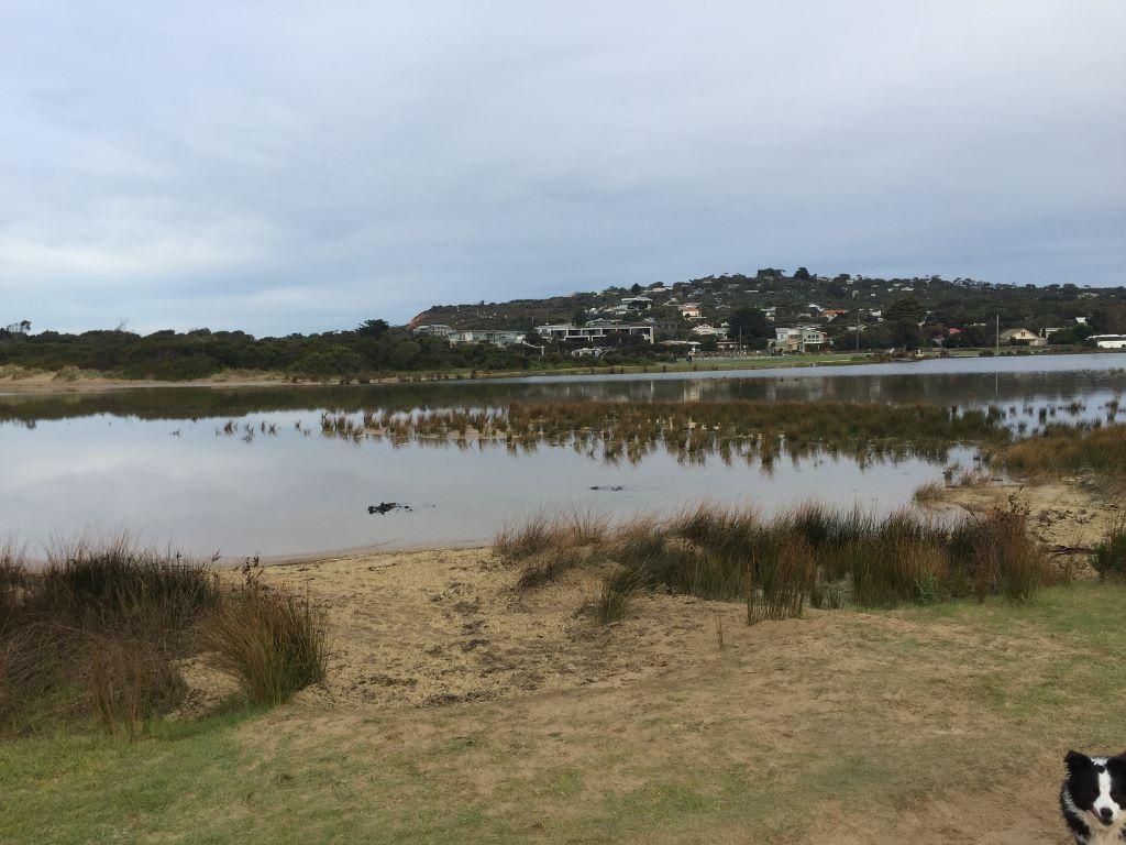
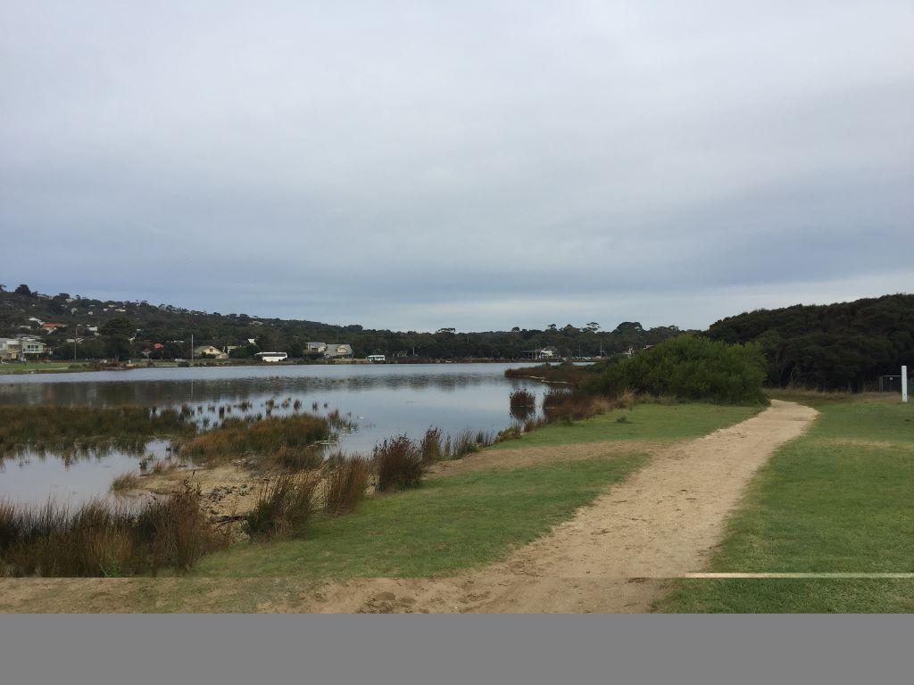
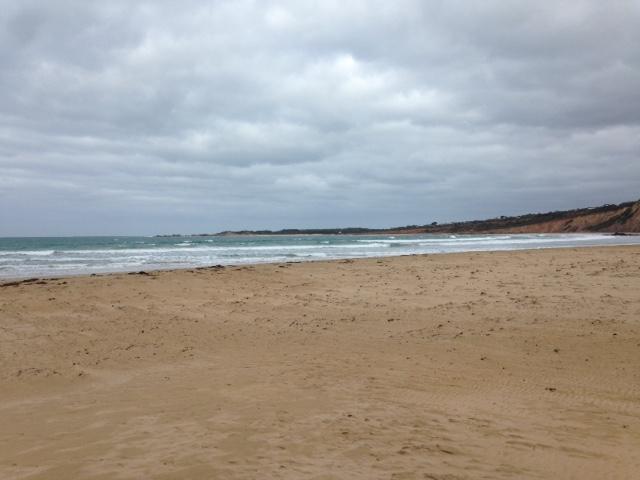
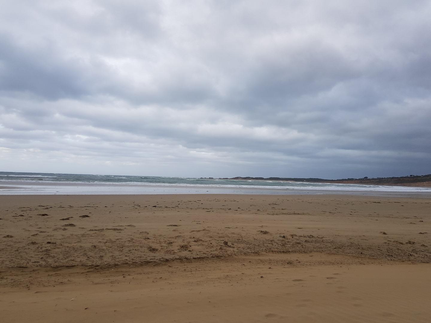
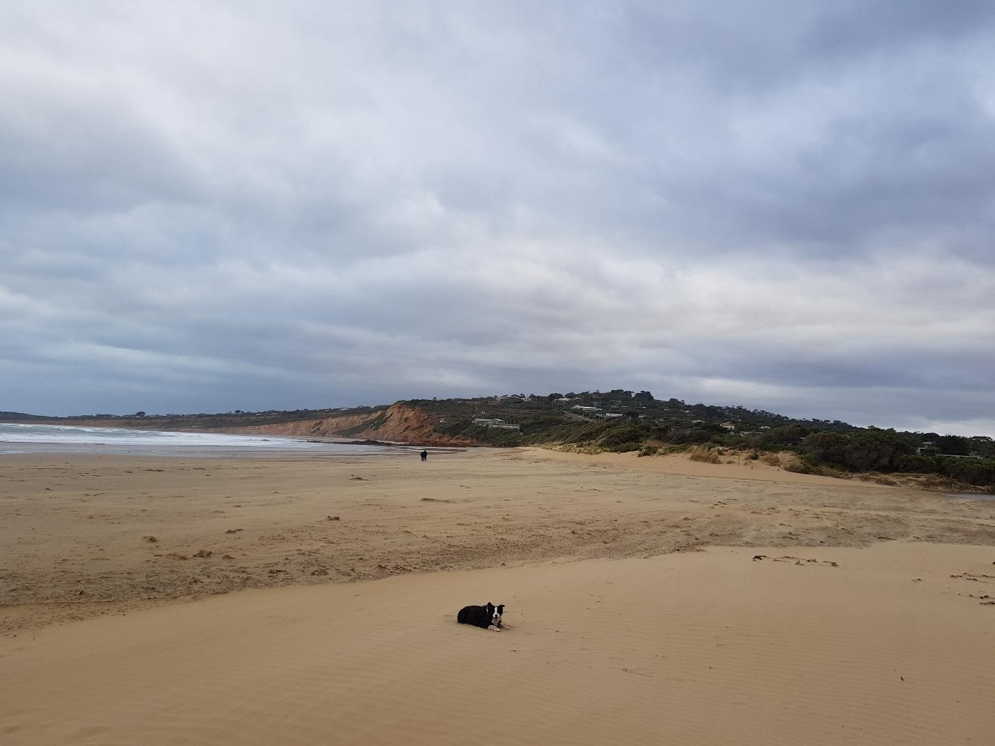
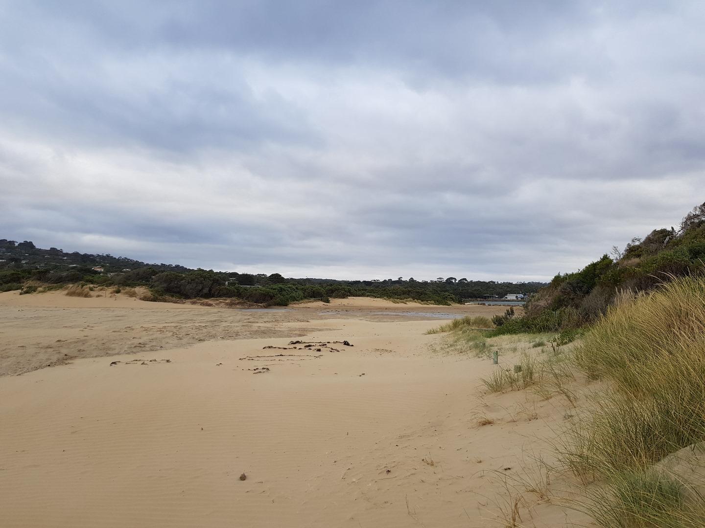
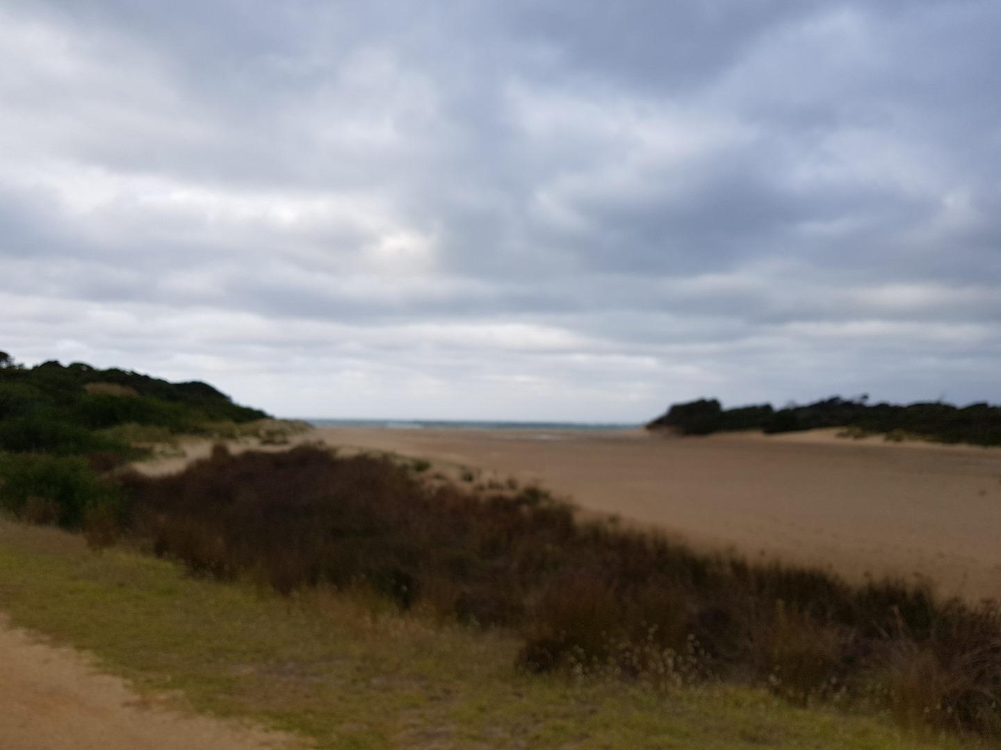
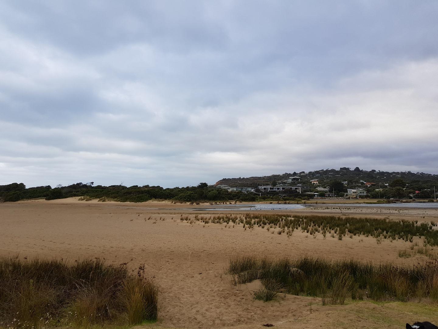
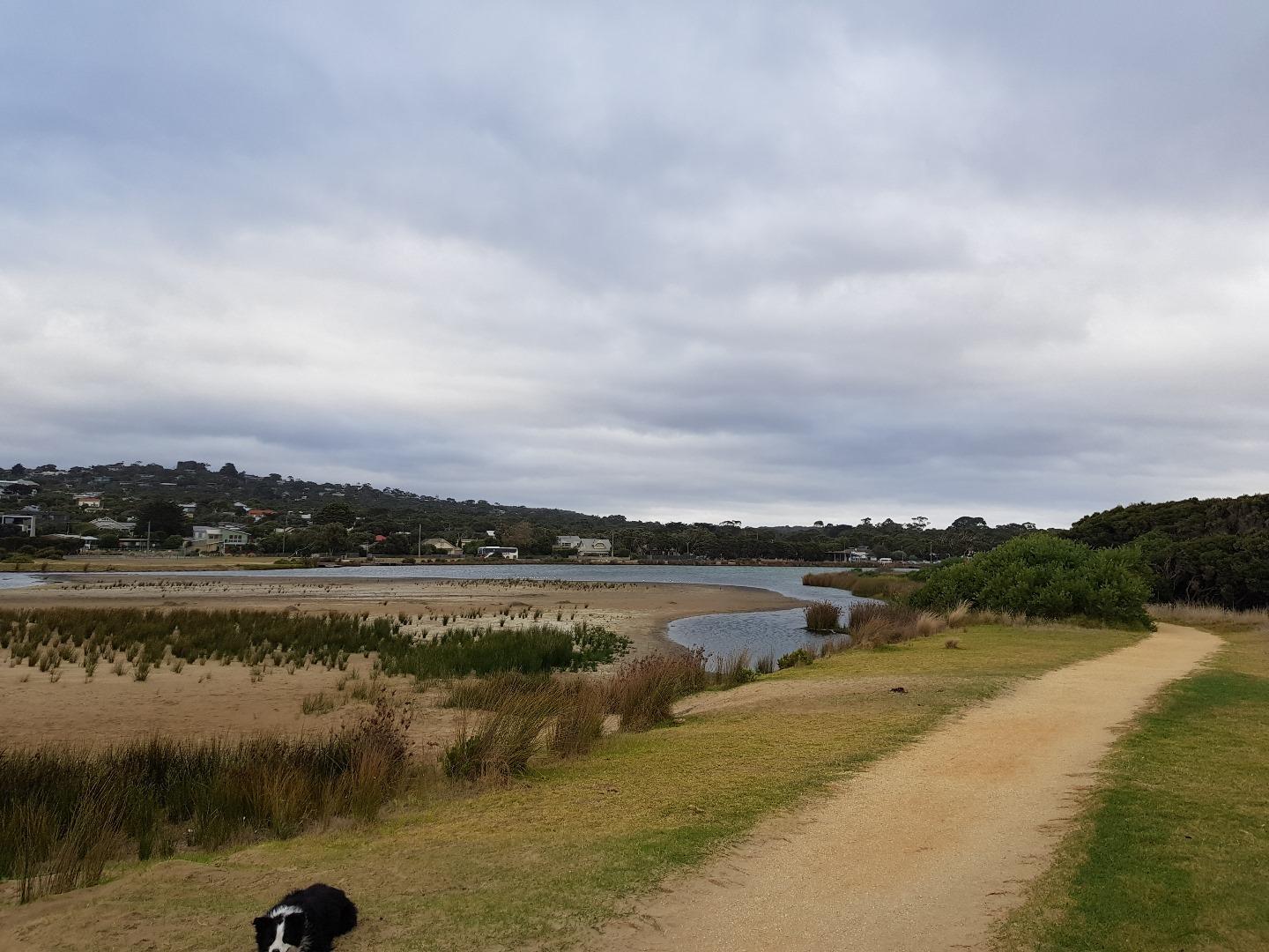
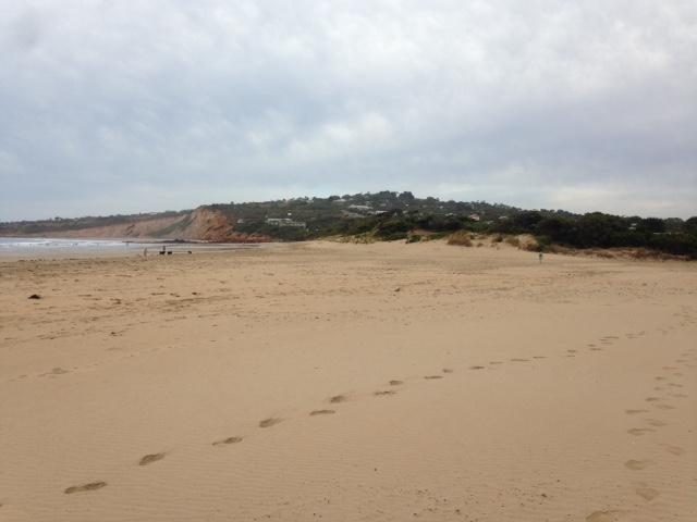
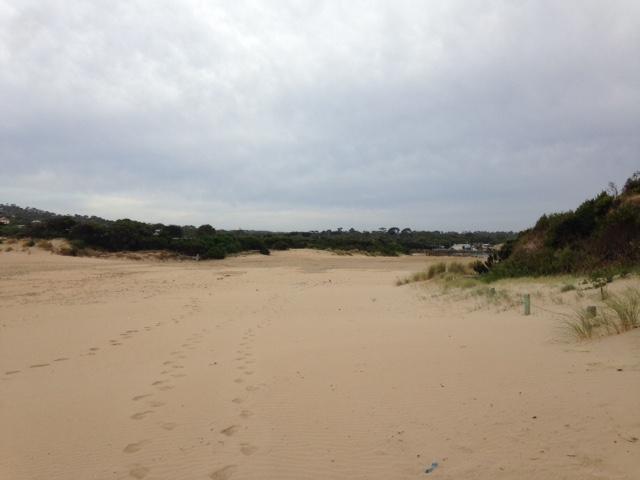
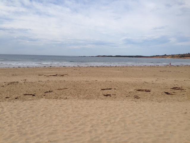
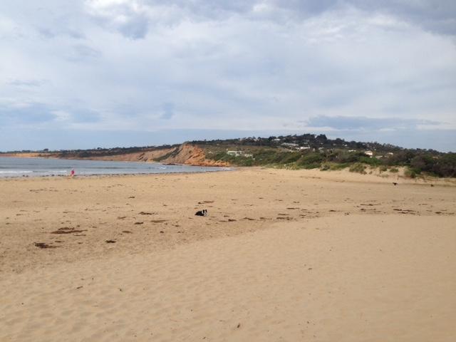
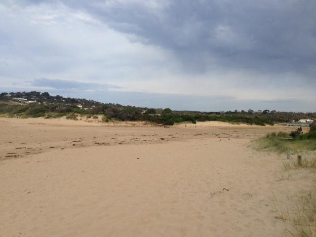
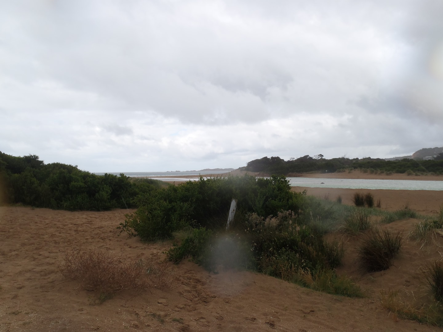
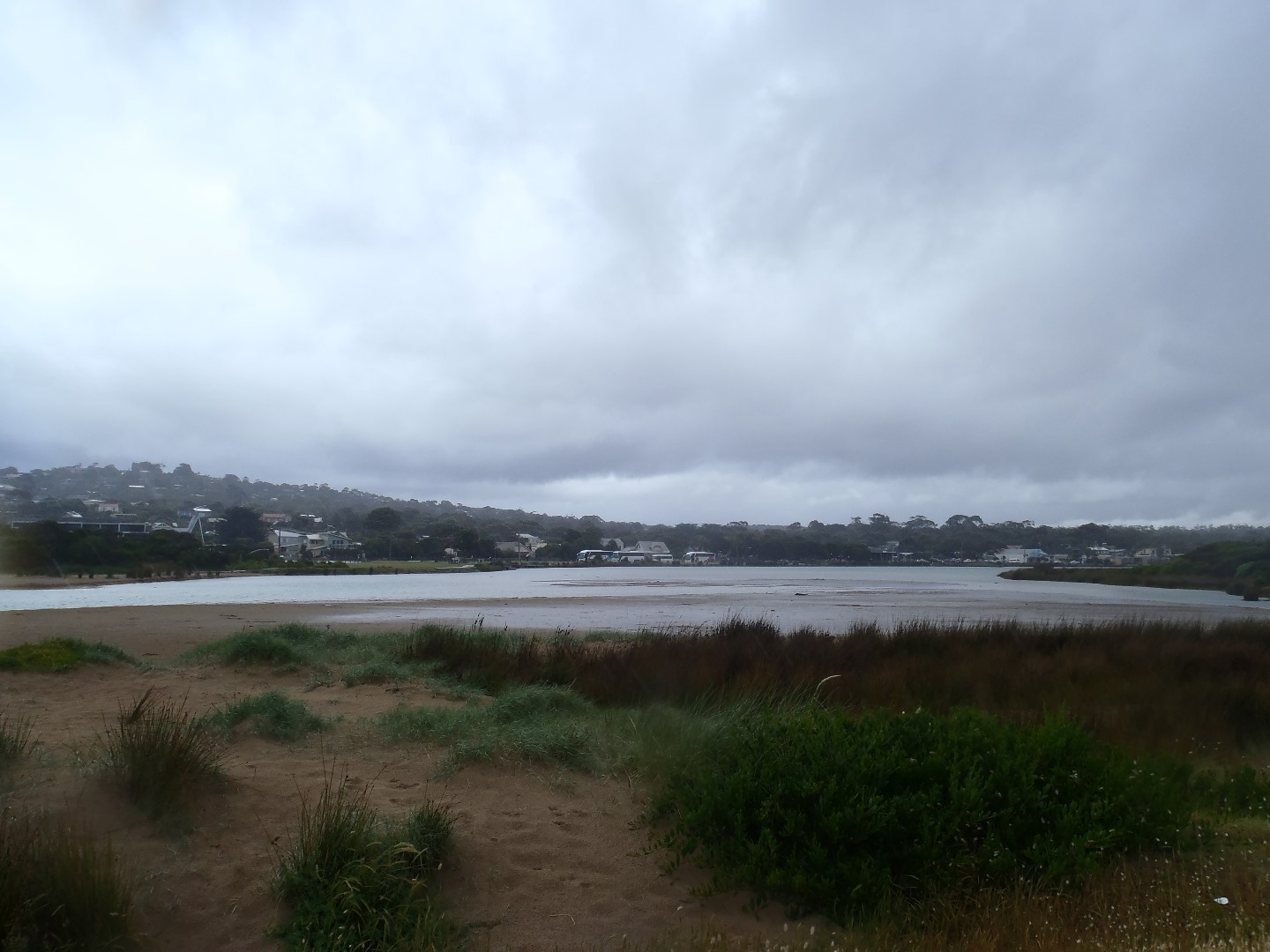
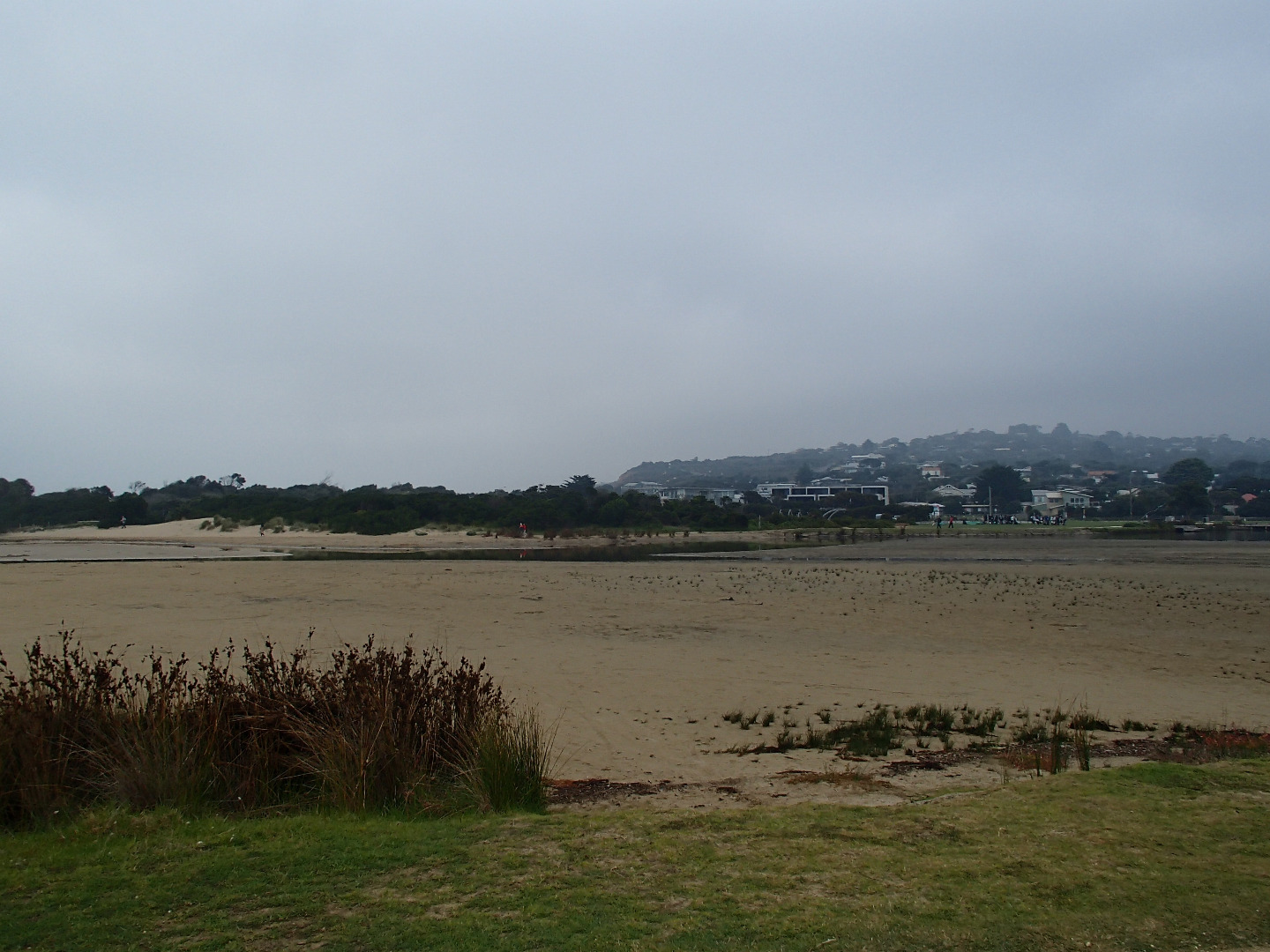
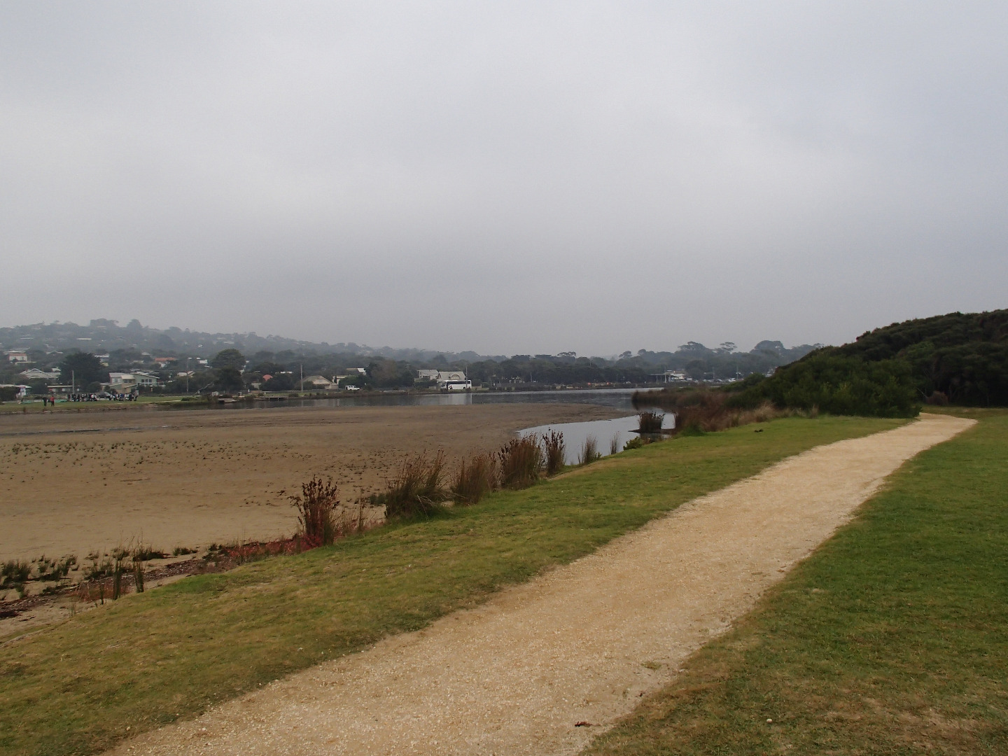
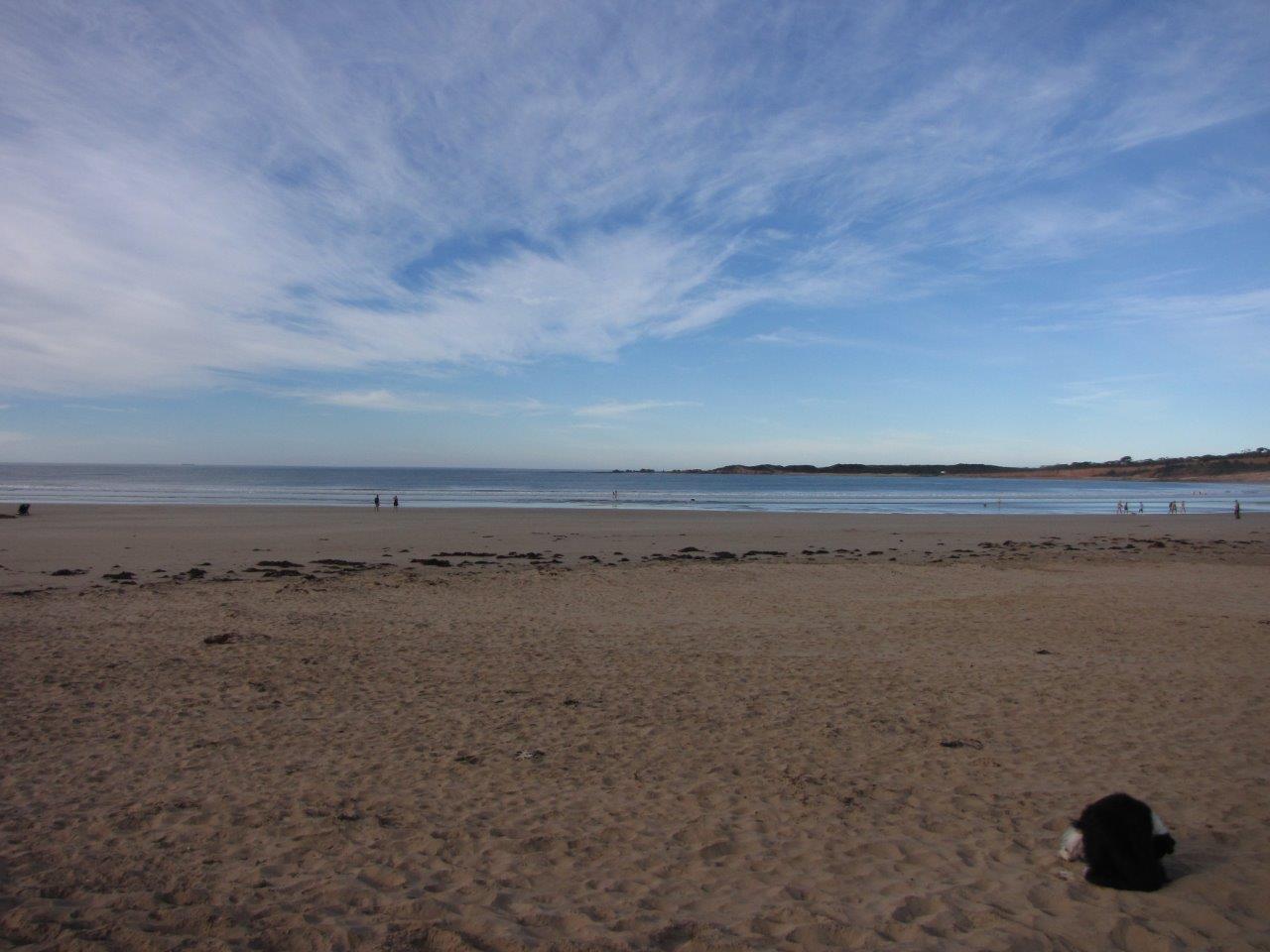
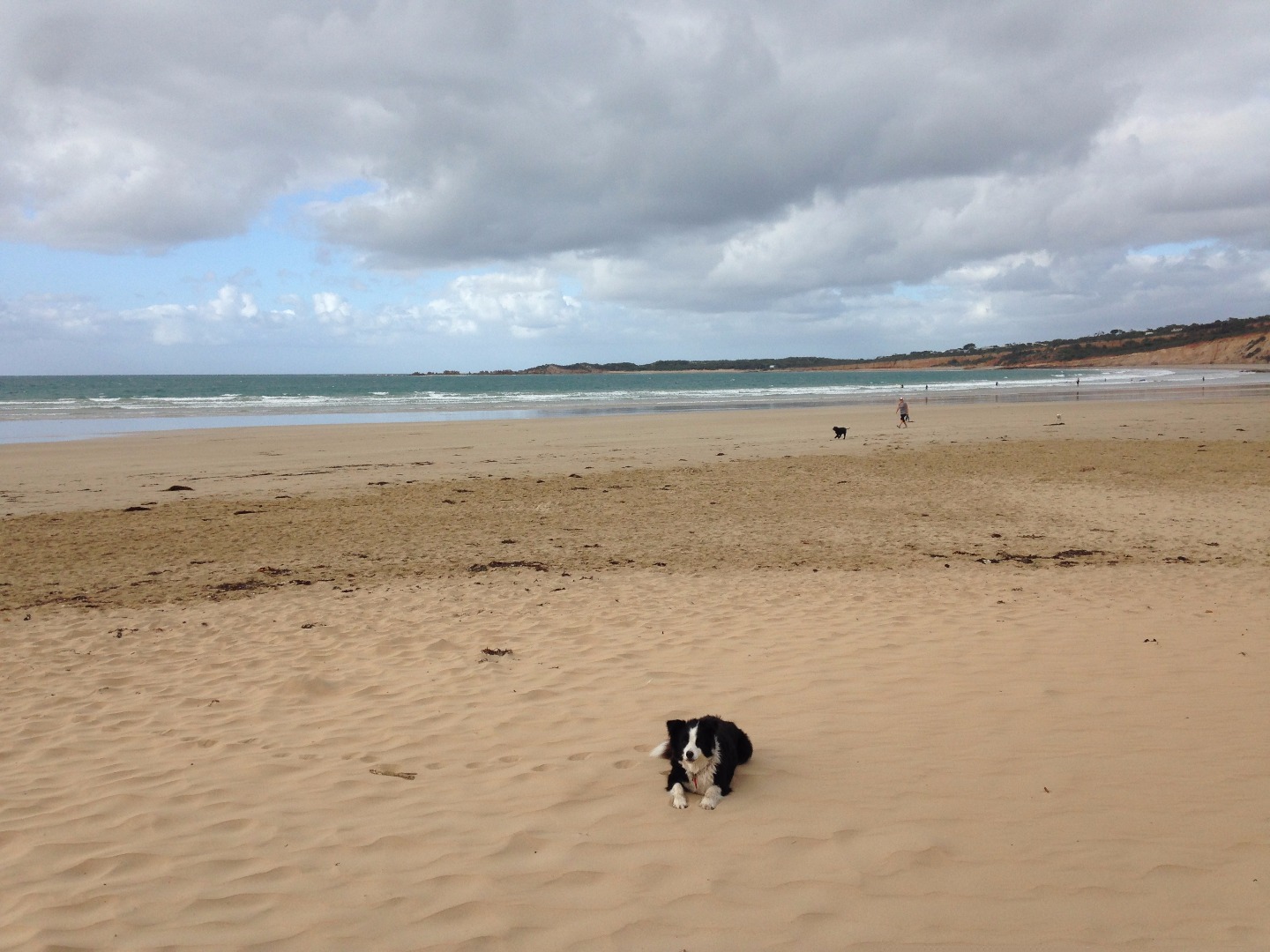
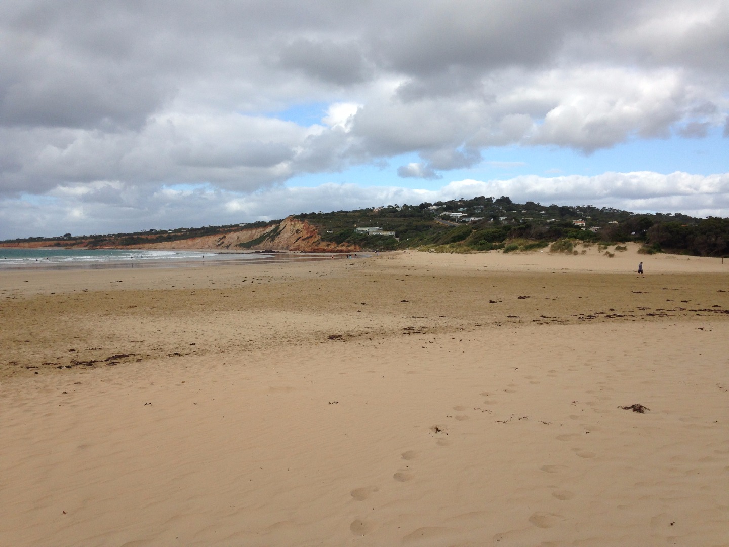
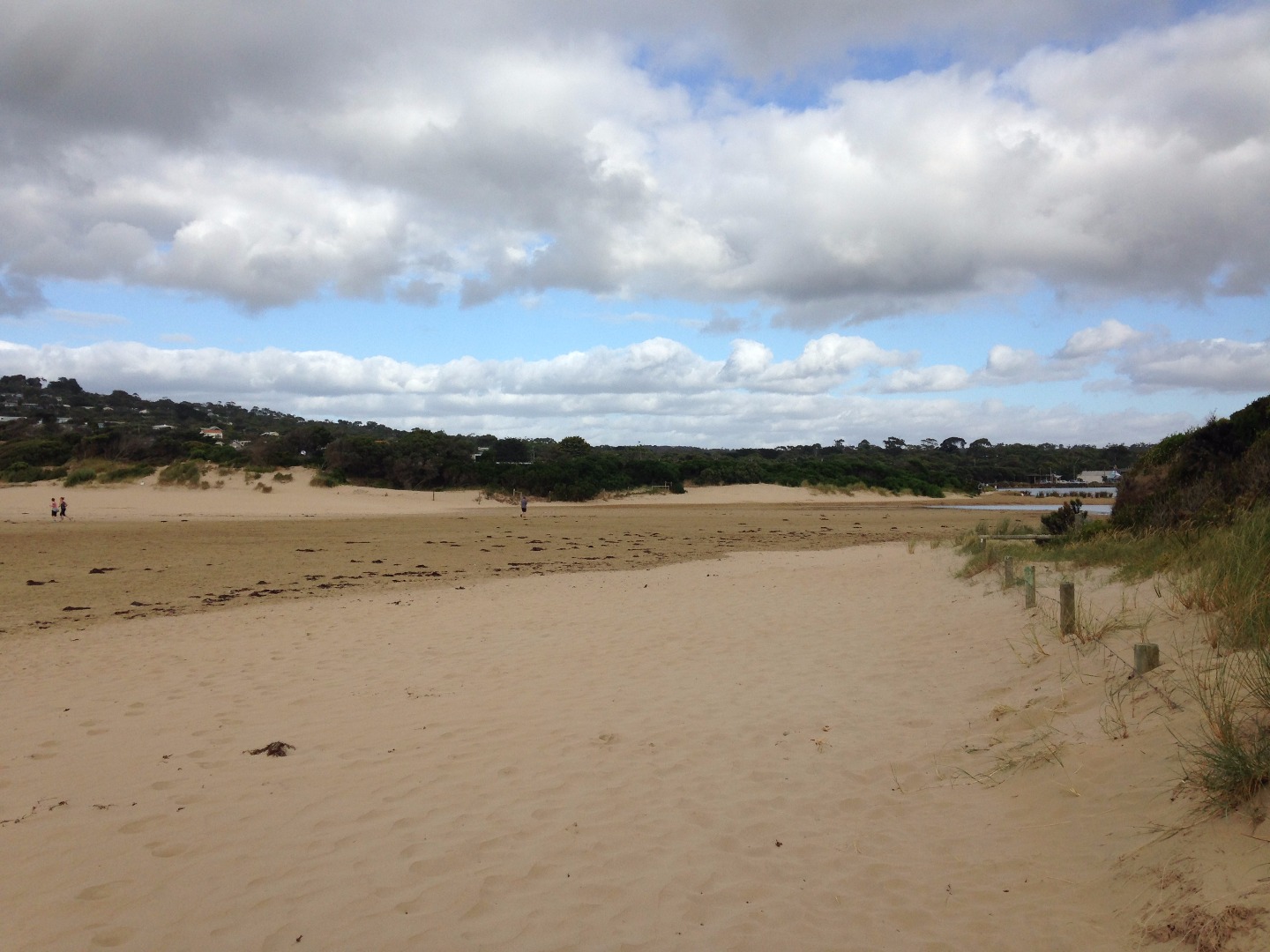
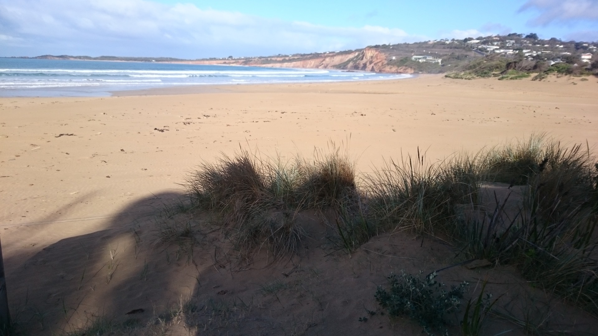
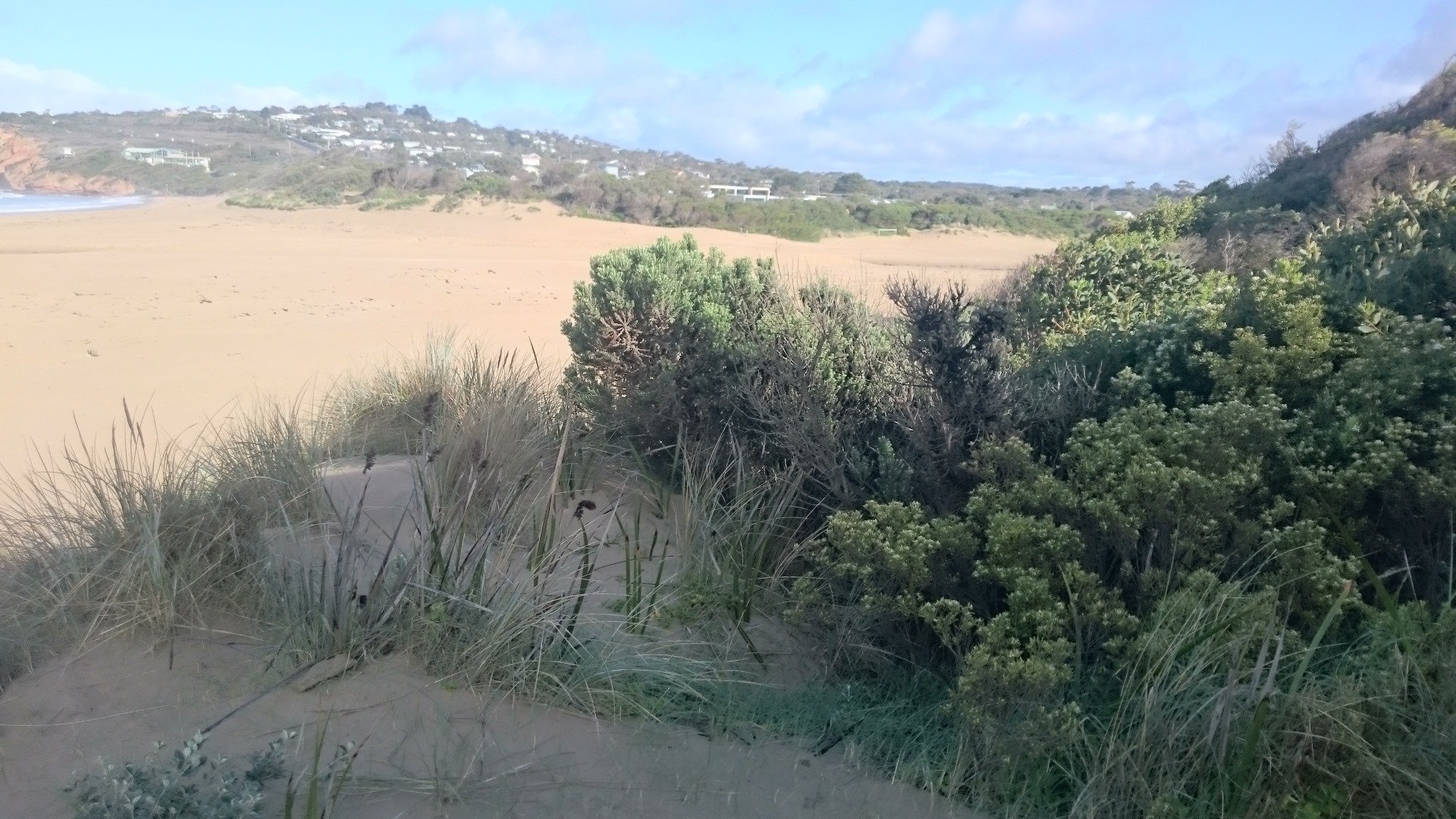
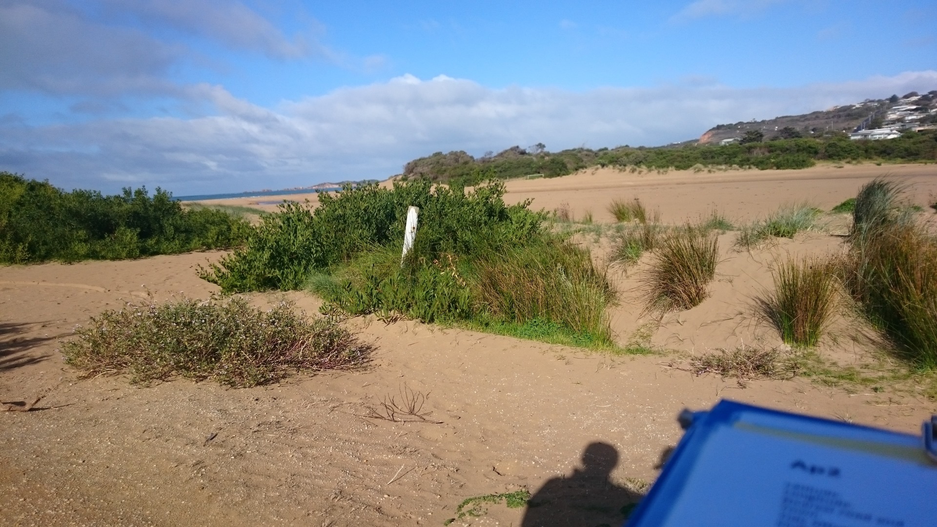
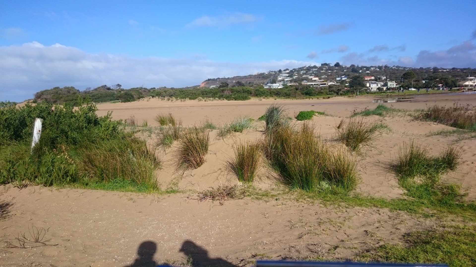
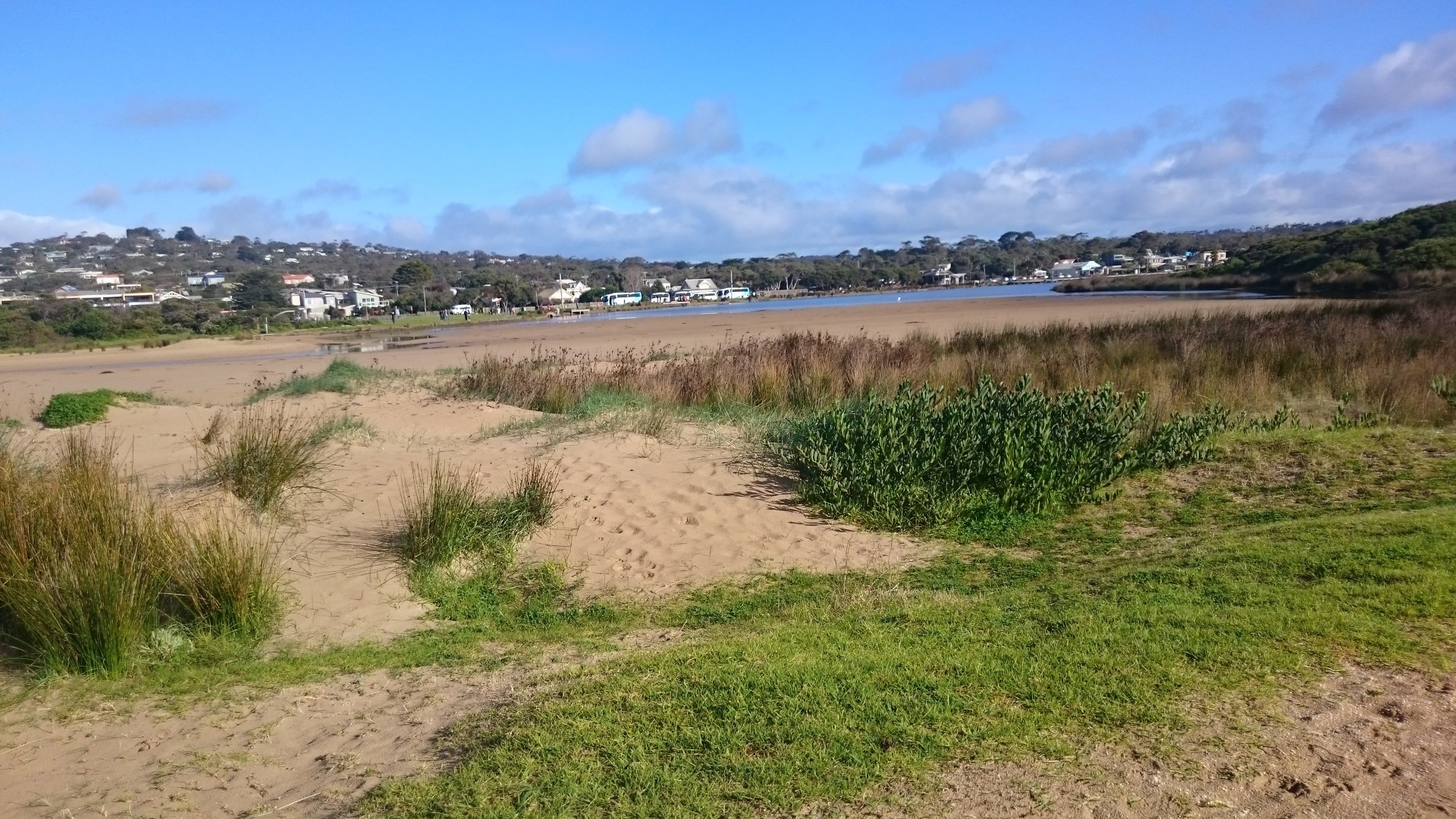
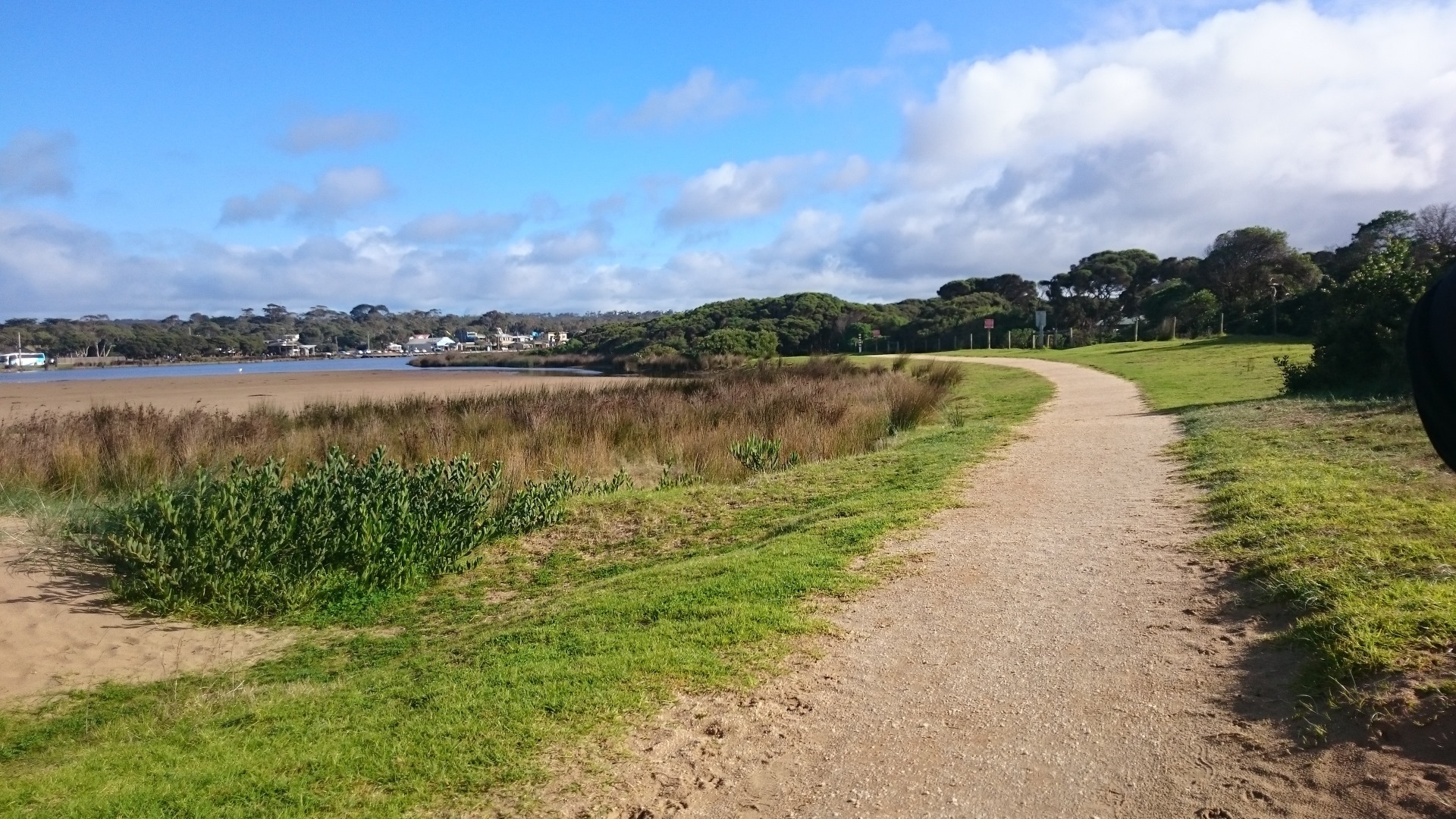
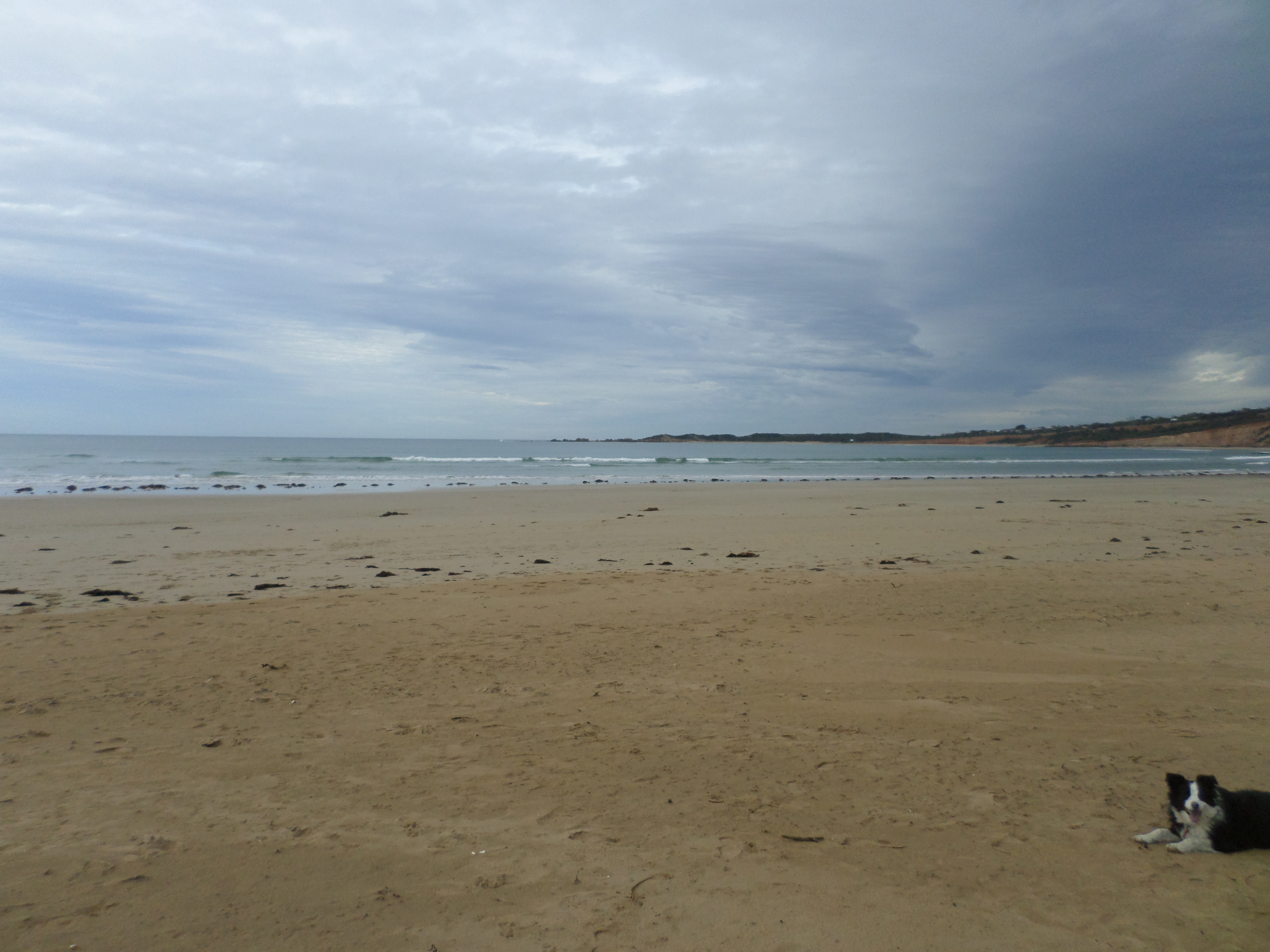
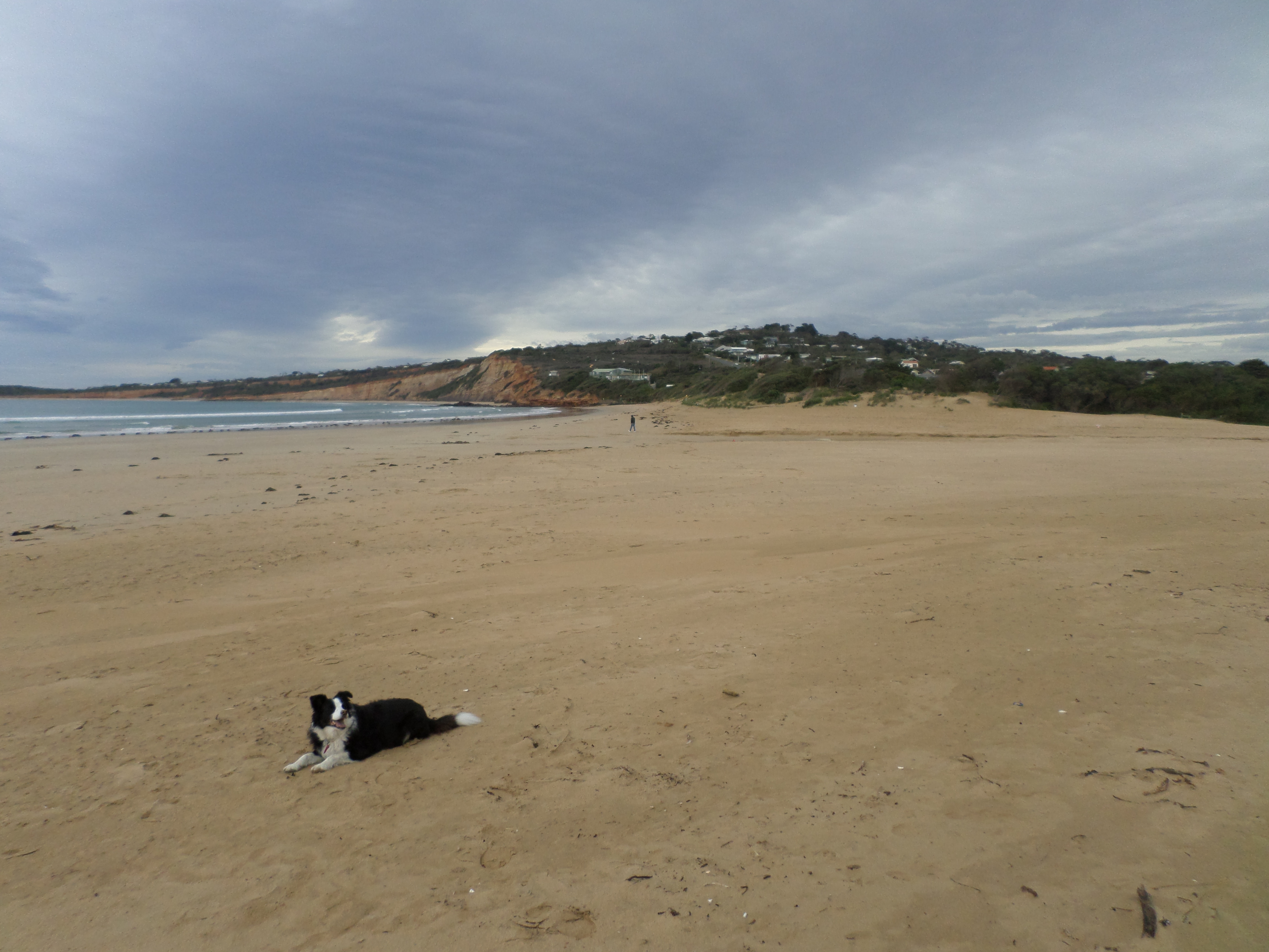
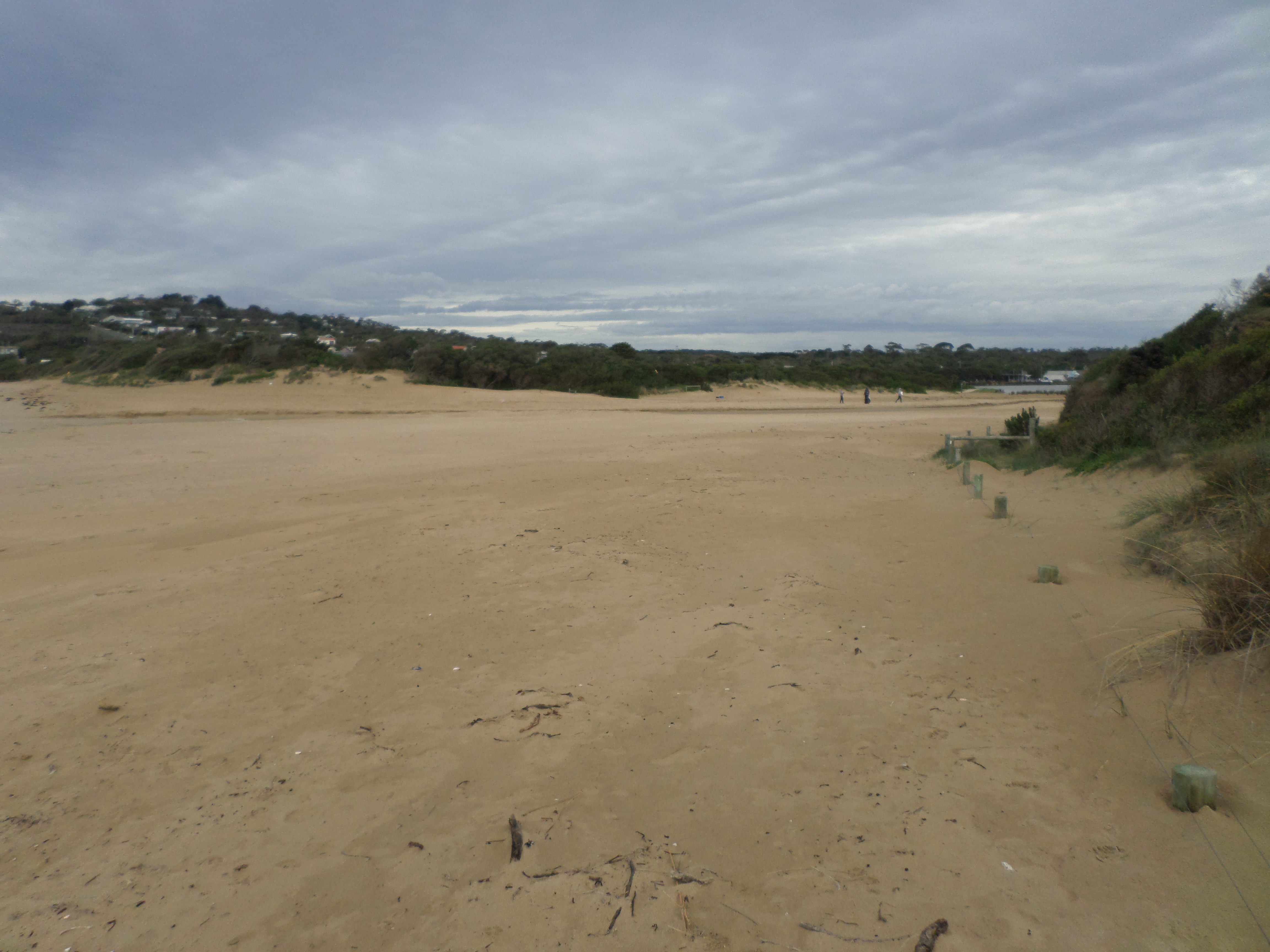
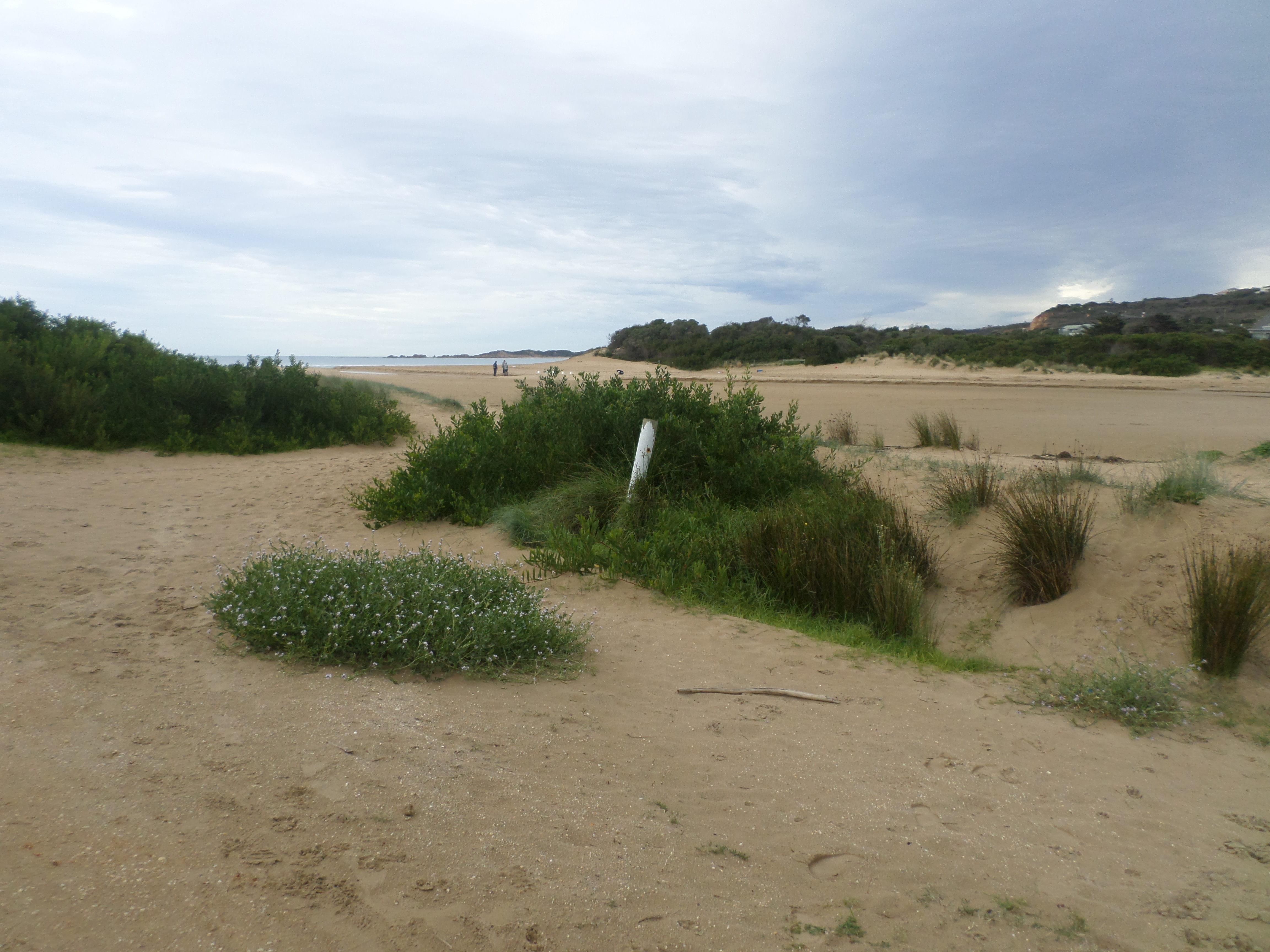
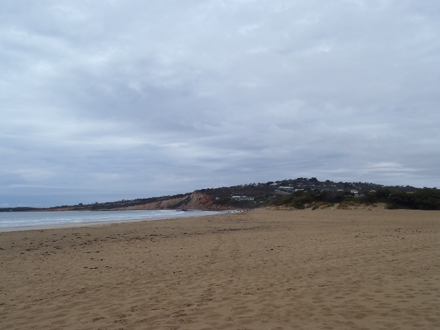
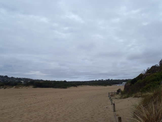
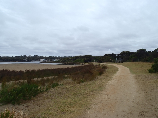
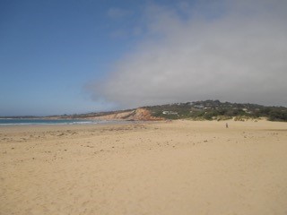
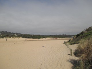
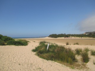
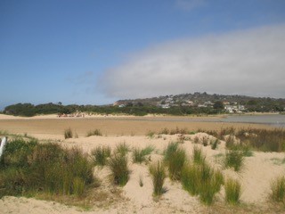
Active Mouth Condition 17-04-2007 - 17-04-2024Anglesea River Estuary
| ID | Date | Status | Details | |
|---|---|---|---|---|
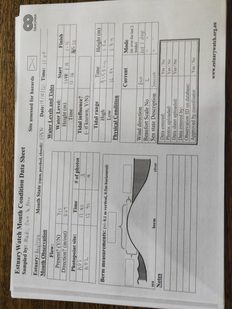
| #16131 | 17 Apr 2024 | Pending |
Notes:
Berm Height above sea difficult to measure accurately 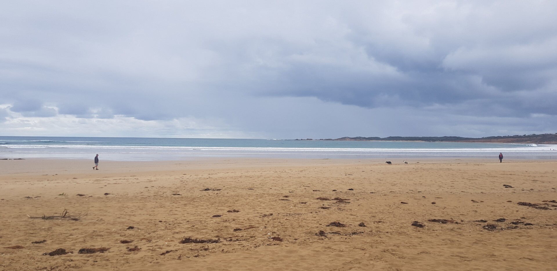 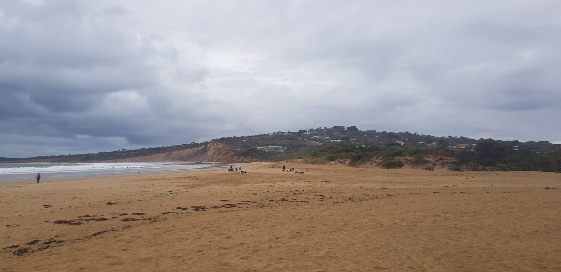      |
|
| #16072 | 20 Mar 2024 | Pending |
Notes:
Assisted by Pam Note from Estuary to top of Berm 125m Tide heights from Williweather |
|
| #16027 | 21 Feb 2024 | Pending |
Notes:
Assisted by Emily Hansen Level indicator on GOR Bridge very difficult to read |
|
| #15975 | 17 Jan 2024 | Pending |
Notes:
Level Indicator at GOR Bridge very clear and clean Water scoop for pH and Turbidity samples missing |
|
| #15904 | 12 Dec 2023 | Pending |
Notes:
Assisted by John Slykhuis |
|
| #15859 | 15 Nov 2023 | Pending |
Notes:
Assisted by Emily Hansen Evidence of recent overtopping |
|
| #15807 | 18 Oct 2023 | Approved |
Notes:
Evidence of recent overtopping from Ocean Note that Level scale at GOR bridge is dirty and unreadable at low levels Continuous level monitoring indicated 1.07mAHD at the time |
|
| #15765 | 20 Sep 2023 | Pending |
Notes:
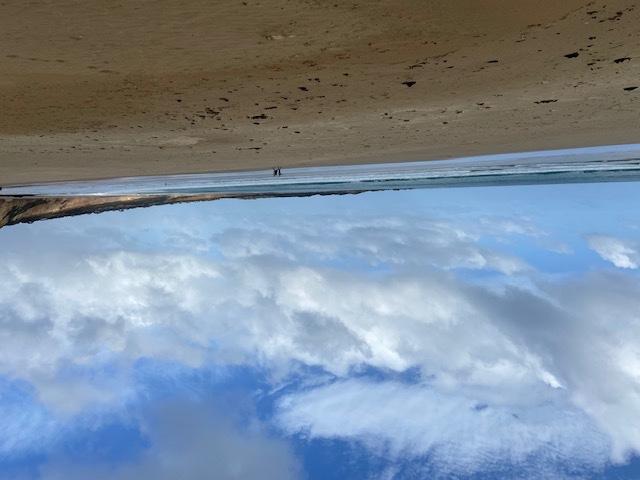
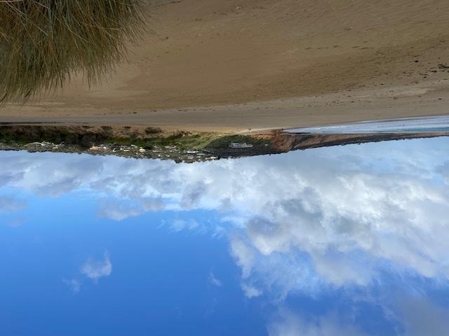
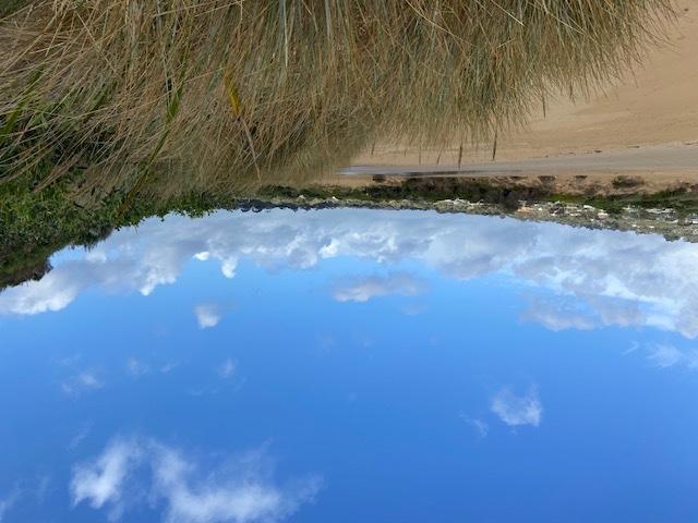
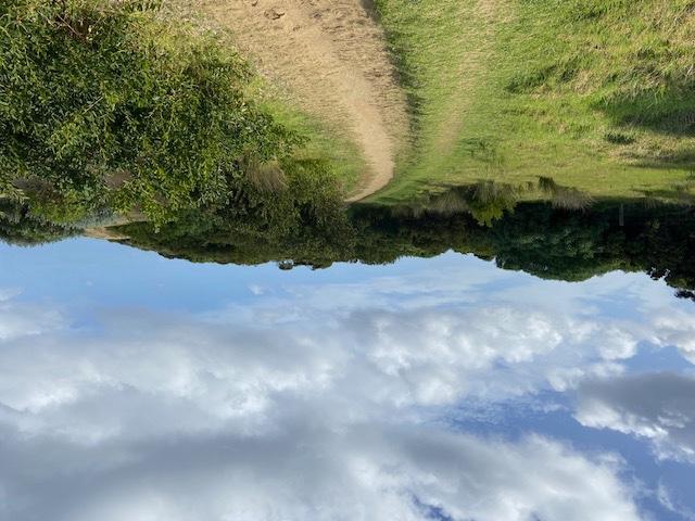
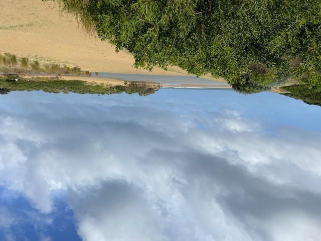
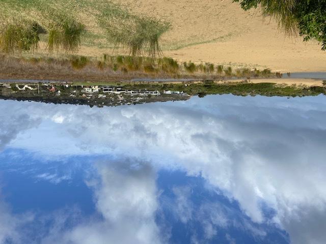
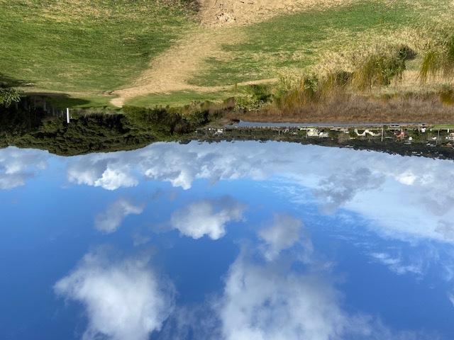
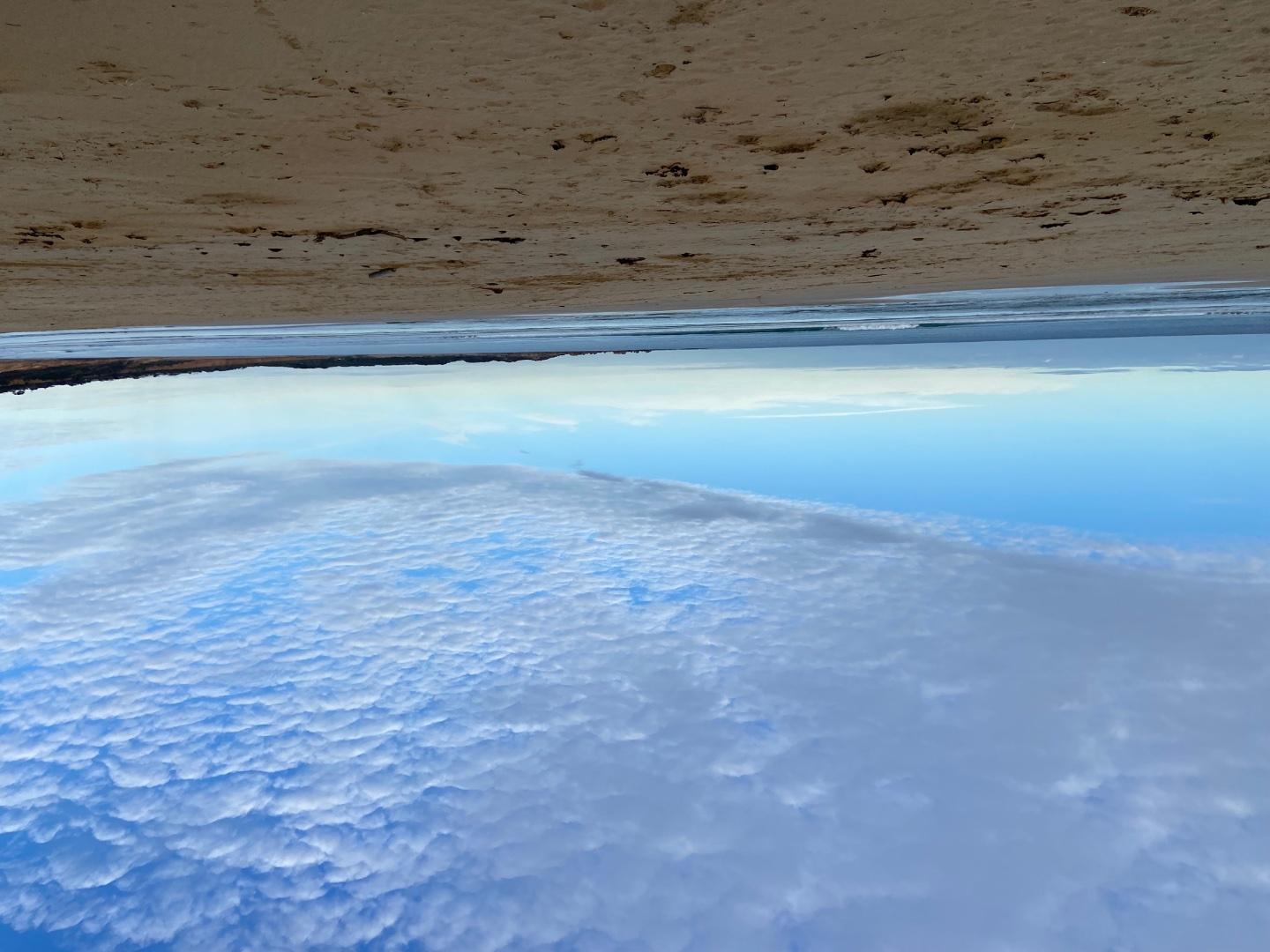
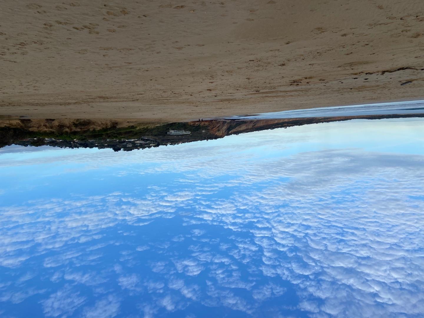
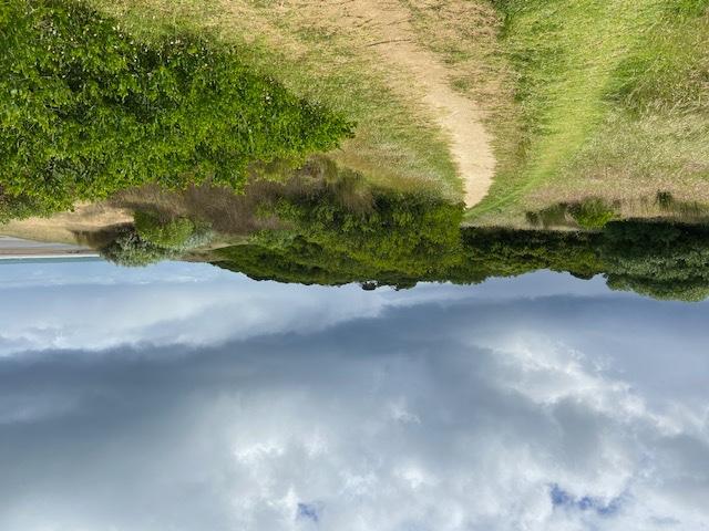
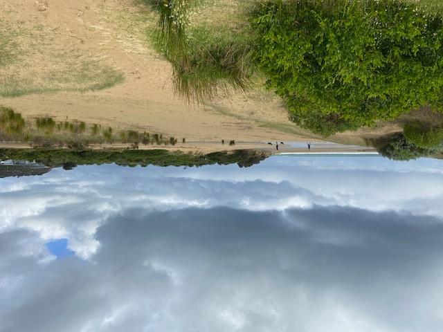
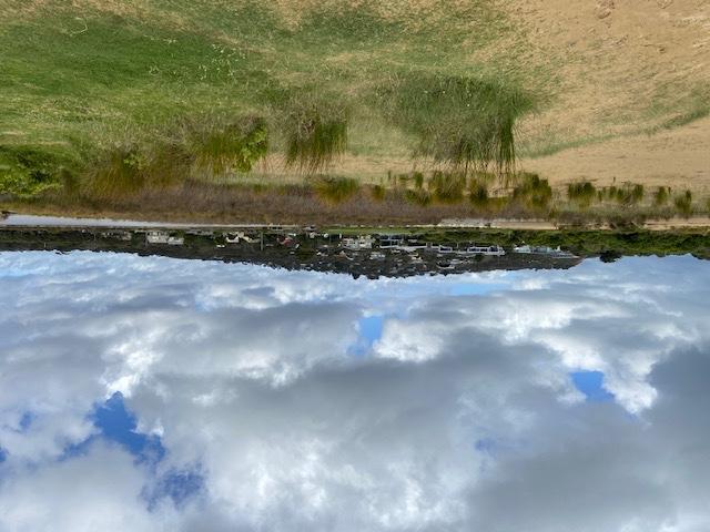
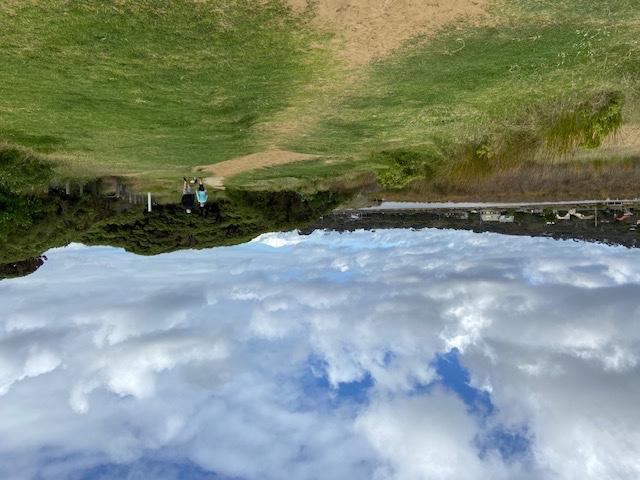
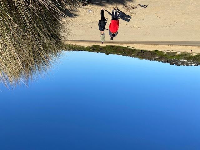
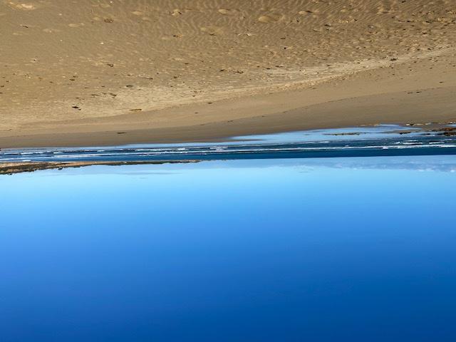
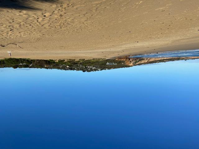
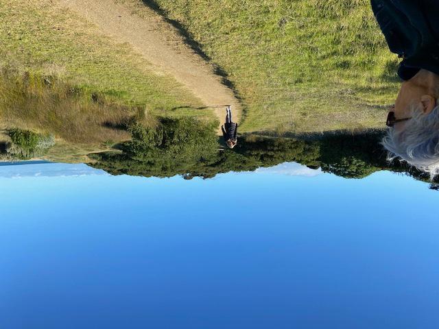
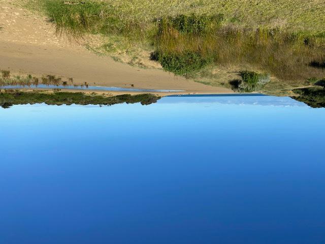
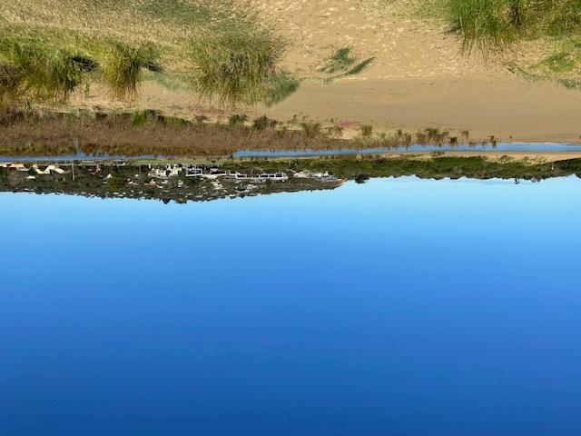
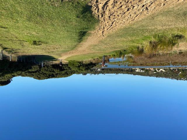
For some unknown reason the photos from my Macpro turn upside down when they upload to your website. Gail has always had this problem as well. |
|
| #15707 | 16 Aug 2023 | Pending |
Notes:
Assisted by Jane Tides from Williweather Data entry of photos etc is now much easier. WD |
|
| #15595 | 21 Jun 2023 | Pending |
Notes:
Hello Deirdre. Need: New box to house equipment - slightly bigger than last one 2 x pH 1413 EC 12,880 New bigger bag for Rose Spare batteries for pH metre Jane Rollinson 0406804615 New Volunteer to go onto WhatsApp and the System. jane_rollinson@hotmail.com Sorry about upside down photos. think I've worked out what to do next time. |
|
| #15537 | 17 May 2023 | Approved | ||
| #15478 | 19 Apr 2023 | Approved |
Notes:
John Slykhuis assisted |
|
| #15361 | 15 Mar 2023 | Approved |
Notes:
Doug and Vicki Tipping are new members |
|
| #15315 | 22 Feb 2023 | Pending |
Notes:
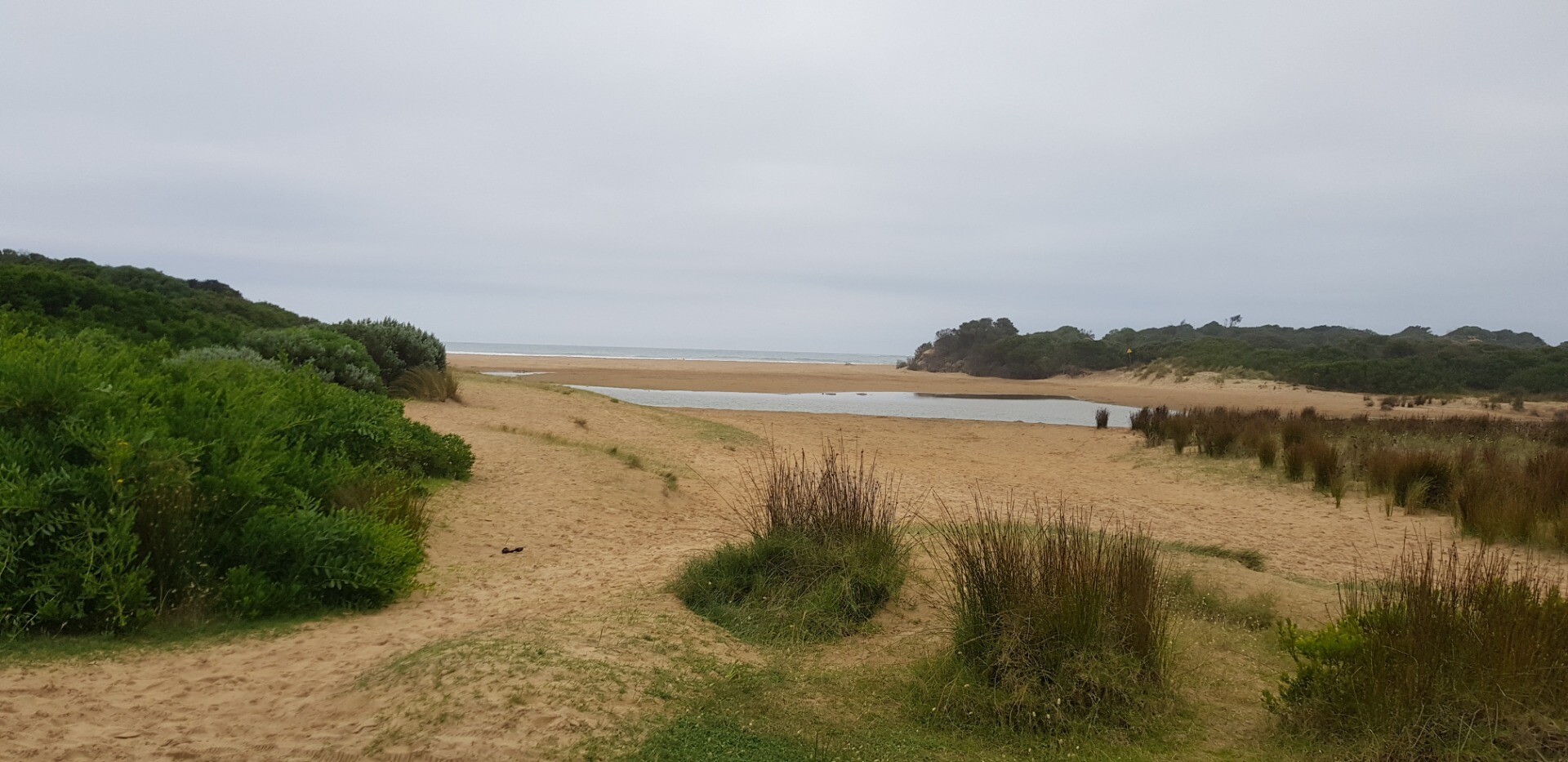
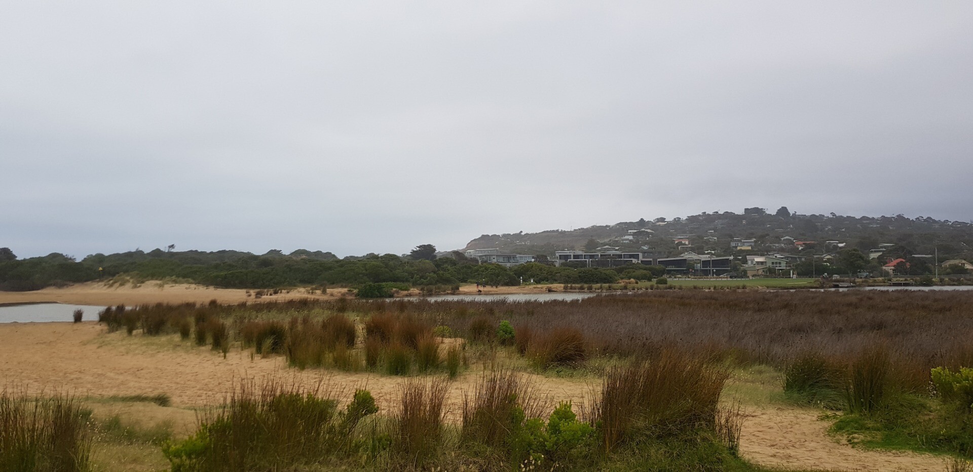
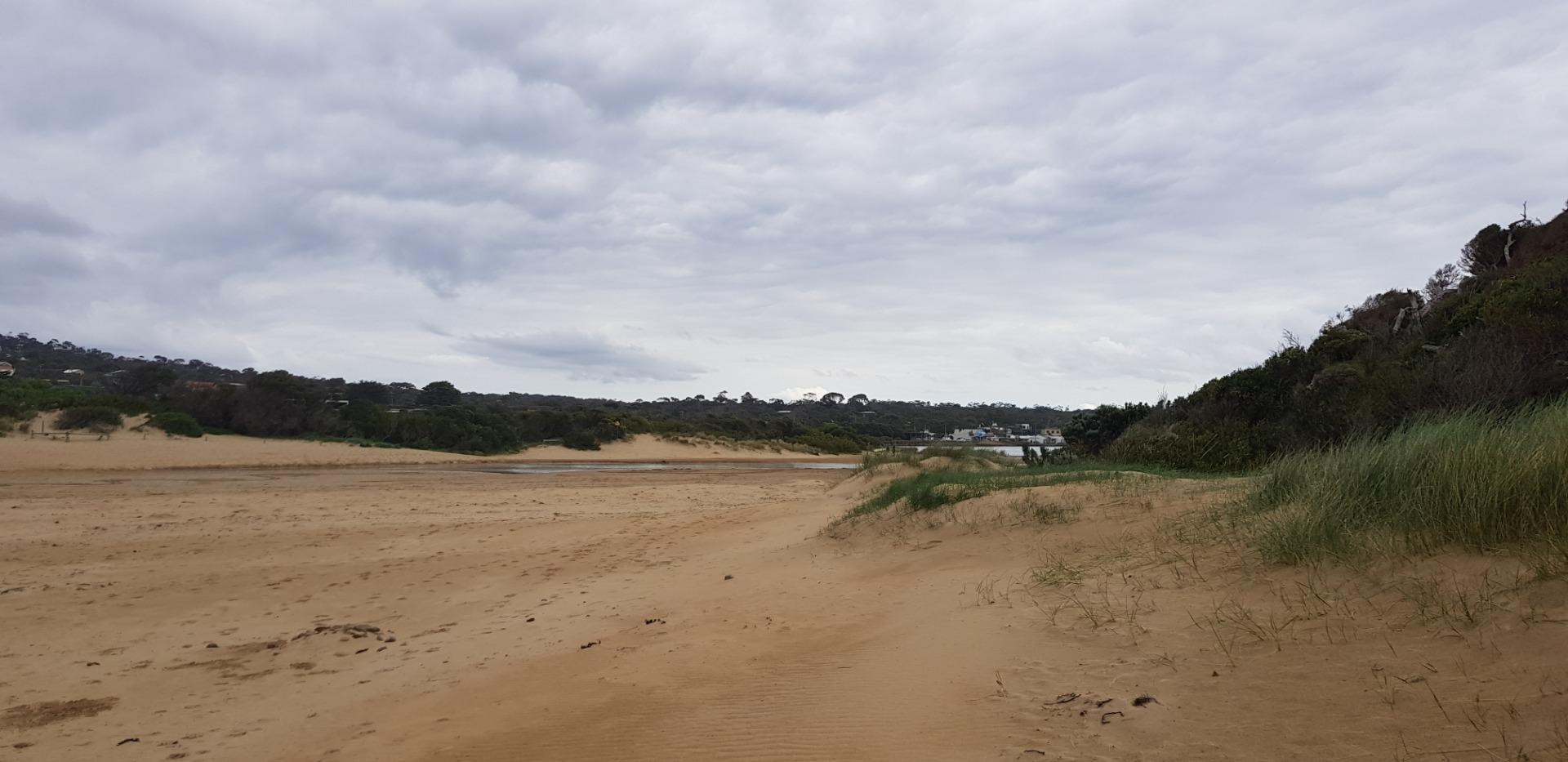
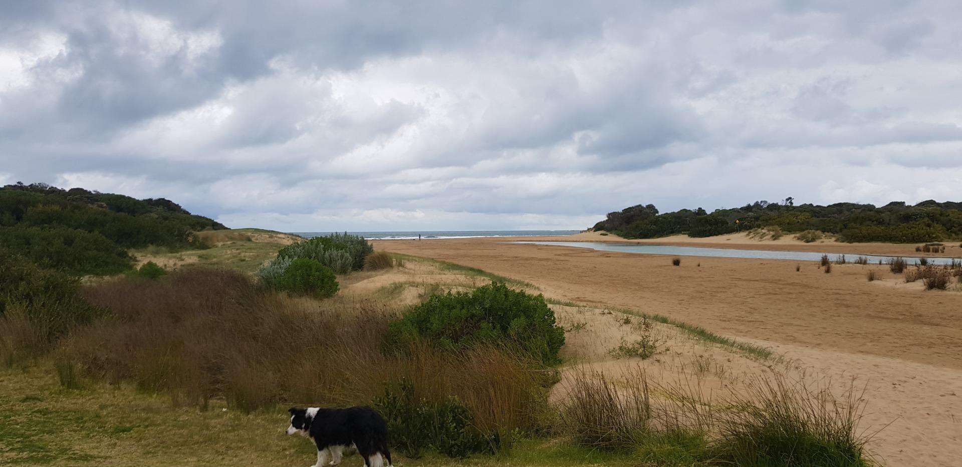
Assisted by Doug Tipping Evidence of tidal inflow overnight Trundle wheel sticking, Berm length by GPS Strava Will have to move AP3 site due to tree growth |
|
| #15244 | 18 Jan 2023 | Pending |
Notes:
Many helpers Doug, Vickie, Justine |
|
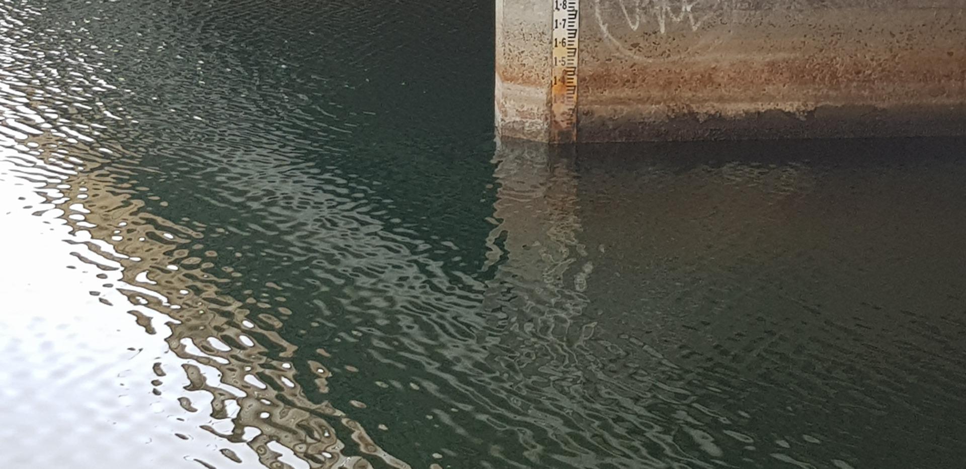
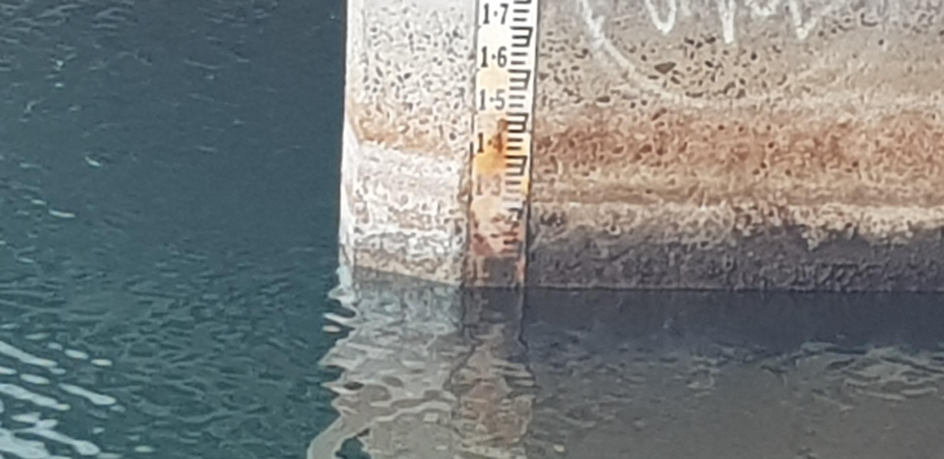
| #15200 | 21 Dec 2022 | Pending |
Notes:
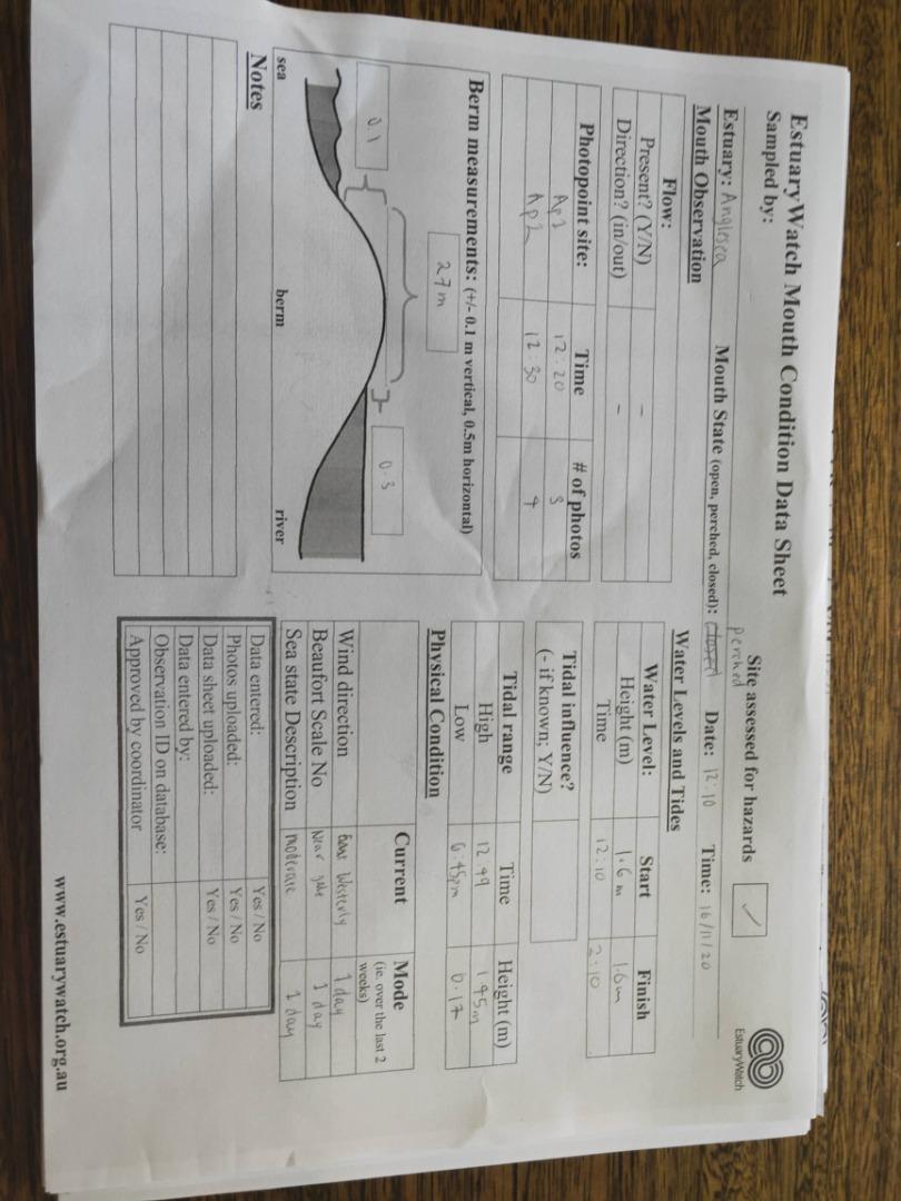
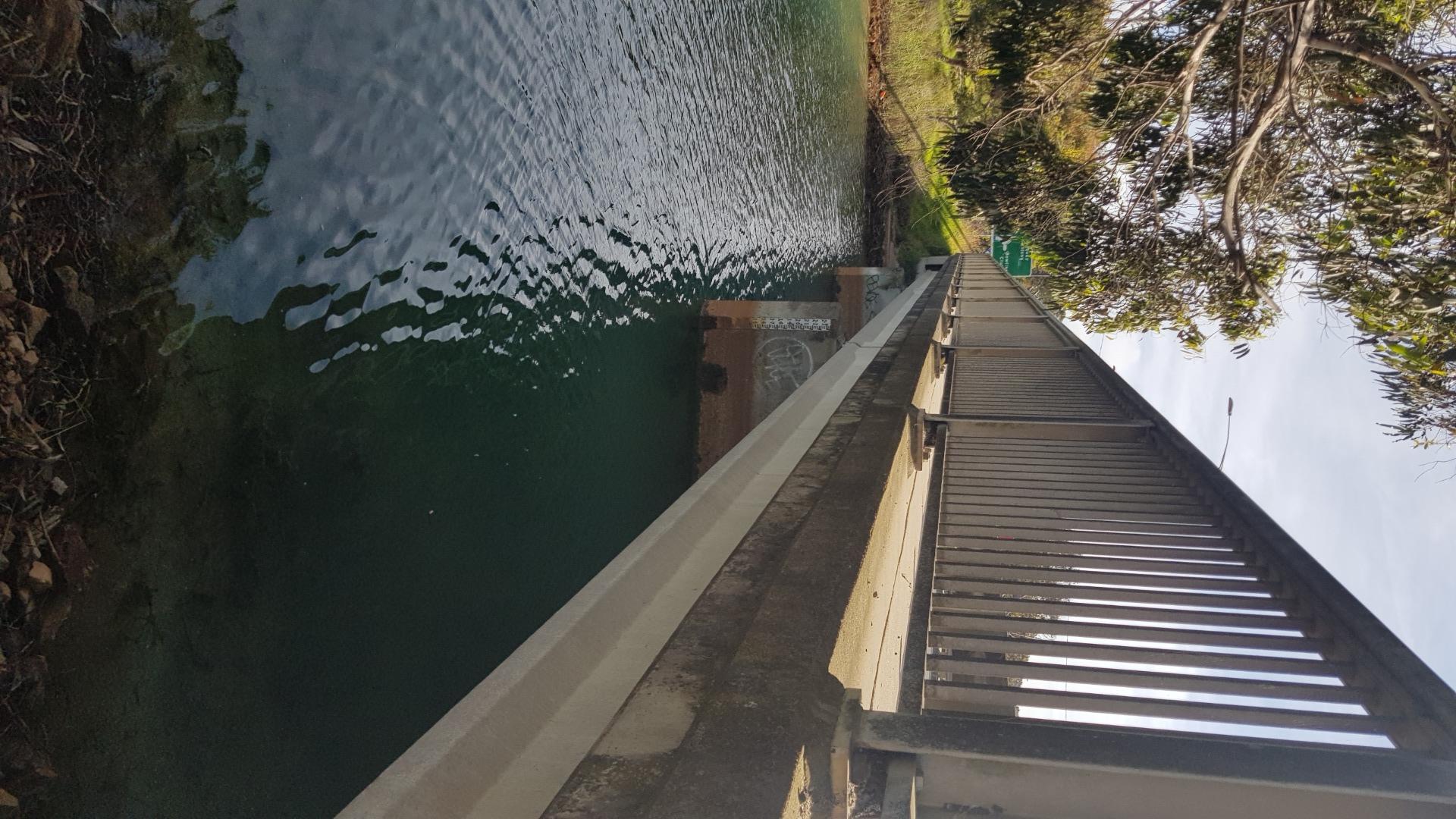
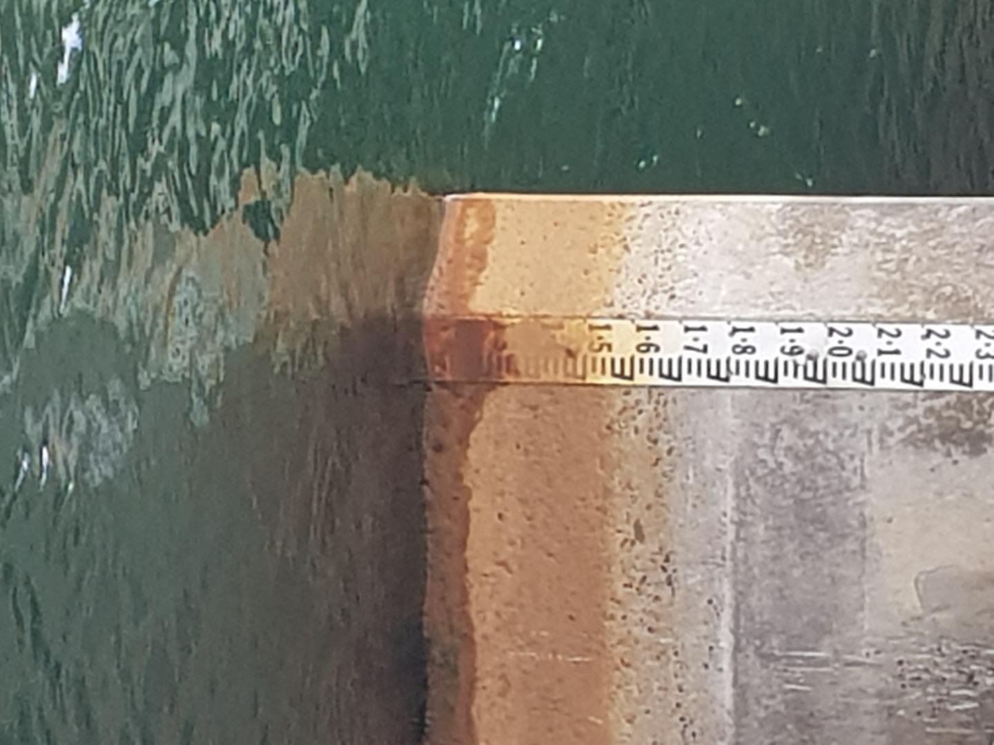
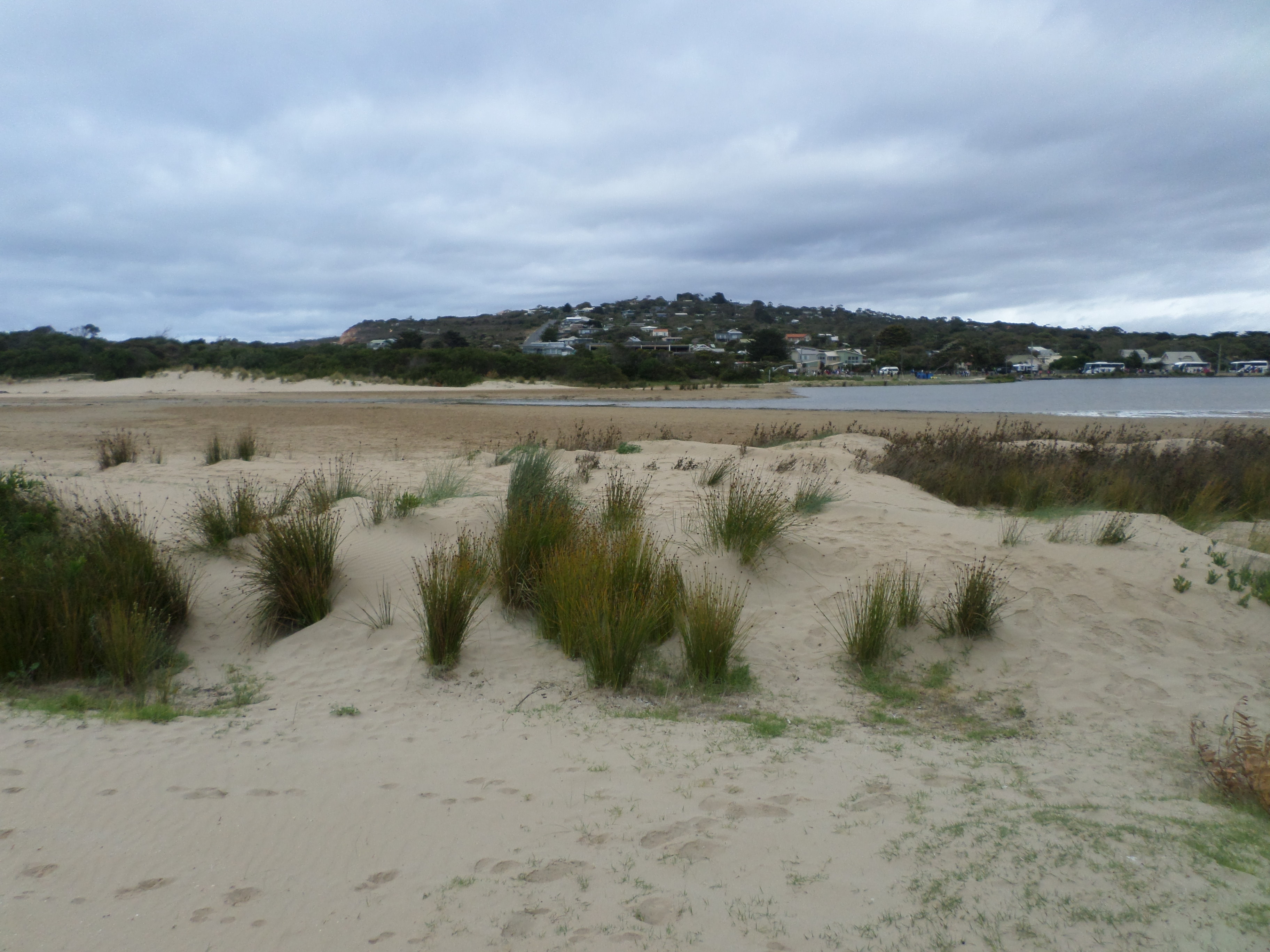
Level below scale on AHD board. Level from DELWP continuous monitor. (see photo)
|
|
| #15129 | 16 Nov 2022 | Pending |
Notes:
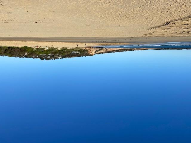
Prior to our observation on the 16th November there had been substantial rain and also quite a few tidal inflows. For the first time in years a fisherman had caught three of four bream and a salmon. We assume they were coming into their home estuary to spawn. We have not seen fish in the river for years - because of the acidity. Sorry about photos being upside down. I'm sure you can fix them faster than I. |
|
| #15084 | 19 Oct 2022 | Pending |
Notes:
No Wind direction - how to mark this on the data sheet? Don't know if there is a tidal influence - how to mark this on the data sheet? |
|
| #15042 | 21 Sep 2022 | Pending | ||
| #14954 | 17 Aug 2022 | Pending |
Notes:
Assisted by John Slykhuis |
|
| #14905 | 20 Jul 2022 | Approved | ||
| #14786 | 22 Jun 2022 | Pending |
Notes:
Assisted by Kim Byrne Note Still flow into Estuary from Ash pond maintenance Flow visible at Culvert across Coalmine Rd |
|
| #14686 | 18 May 2022 | Pending | ||
| #14606 | 20 Apr 2022 | Pending |
Notes:
Assisted by John Slykhuis, Evelyn and Hadley |
|
| #14553 | 16 Mar 2022 | Pending | ||
| #14494 | 16 Feb 2022 | Pending |
Notes:
Bridge AHD indicator obscured Level approximate Kim Byrne assisting |
|
| #14478 | 30 Jan 2022 | Approved |
Notes:
Artificial opening on Friday 28th January 3pm |
|
| #14448 | 19 Jan 2022 | Approved |
|
|
| #14406 | 15 Dec 2021 | Approved |
Notes:
Assisted by Kim Byrne
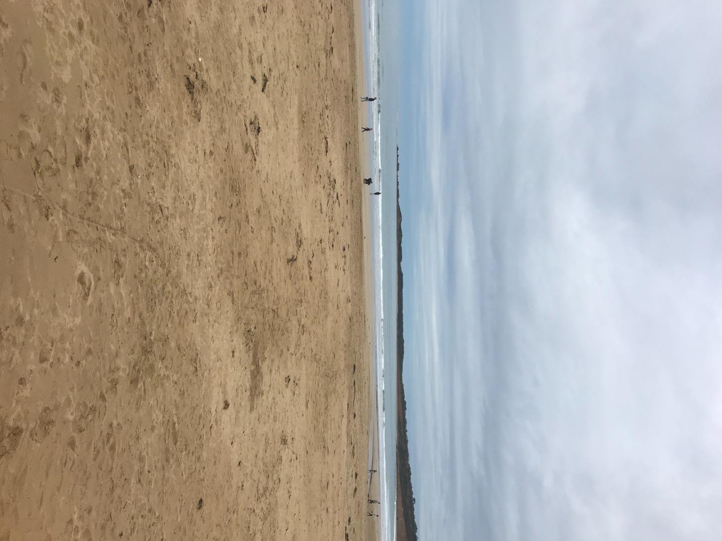
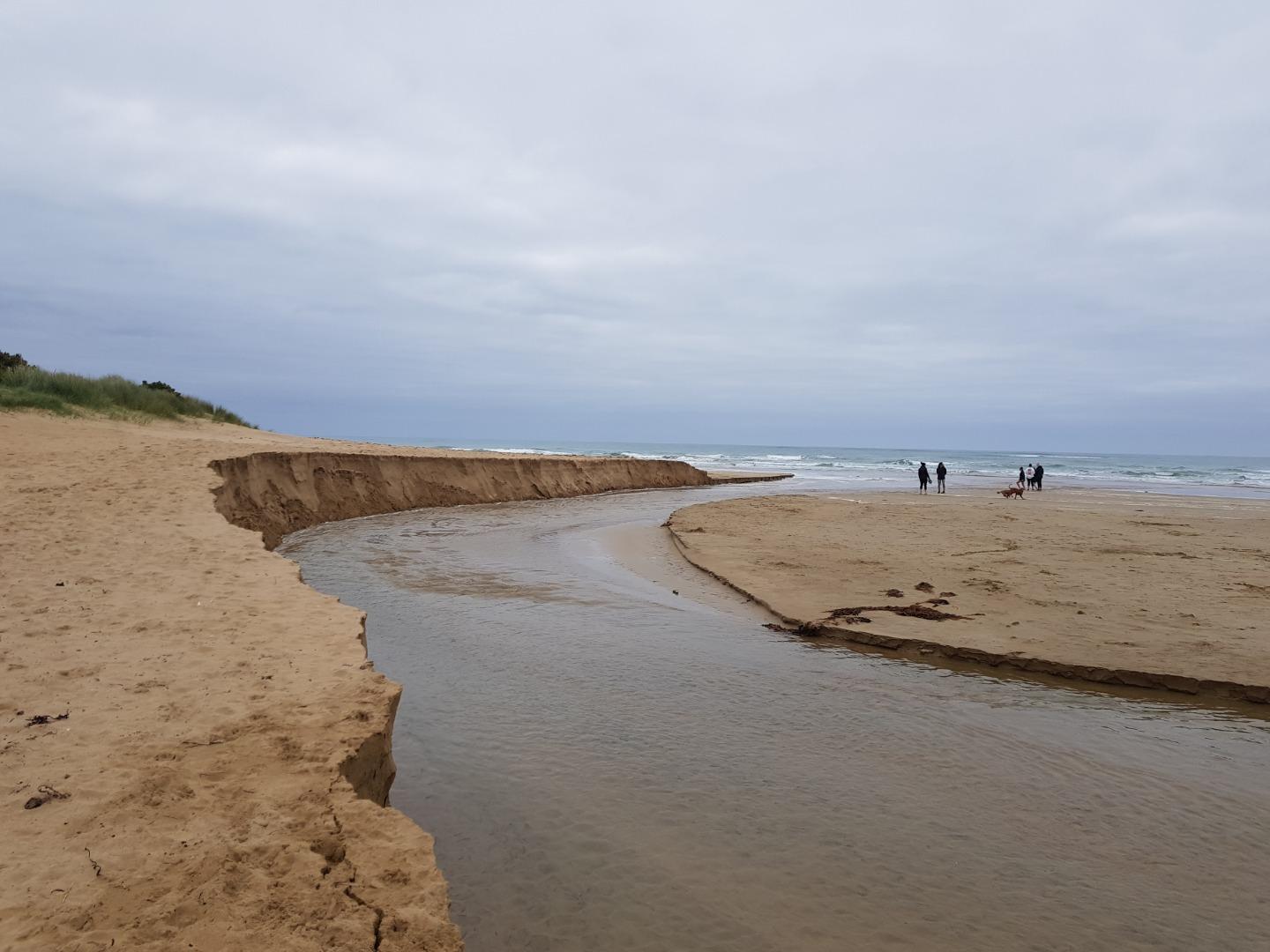
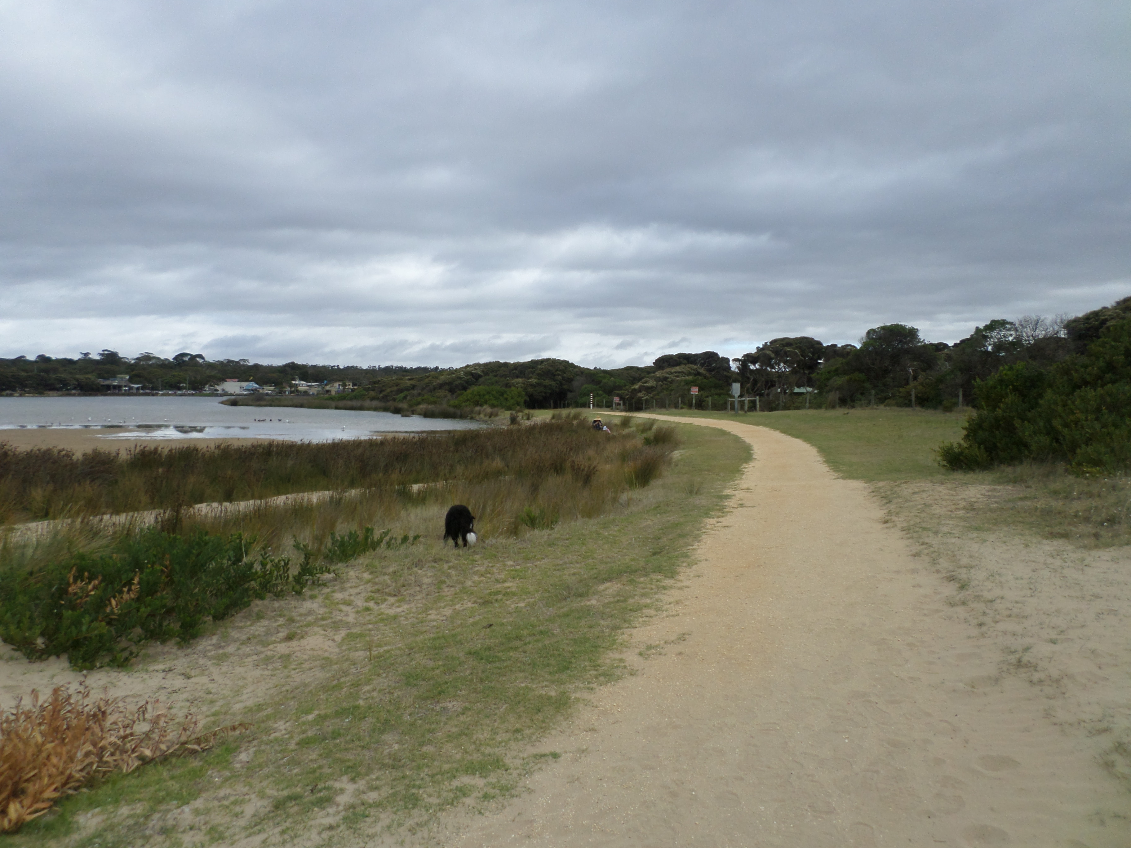
River has changed direction/Shape near mouth Great deal of white floc deposited on river bottom Photopoint AP1 has changed Sign is nearly buried and dune has been eaten away See photo |
|
| #14360 | 17 Nov 2021 | Pending |
Notes:
Note Altered course of river with cutaway of dune on eastern bank See photo |
|
| #14328 | 20 Oct 2021 | Pending |
Notes:
AHD Scale at bridge dirty, virtually unreadable at these low levels |
|
| #14297 | 15 Sep 2021 | Pending |
Notes:
Ably assisted by Kim Byrne and Coco Used Williweather tides for Anglesea Beach as in previous instances. Note that Williweather tides use Pt Lonsdale values but time corrected for Anglesea Longitude. This is completely different to Lorne nos |
|
| #14257 | 18 Aug 2021 | Approved | ||
| #14172 | 16 Jun 2021 | Pending | ||
| #14136 | 19 May 2021 | Approved |
Notes:
Assisted by Rebecca Ecologic |
|
| #14093 | 21 Apr 2021 | Approved | ||
| #14012 | 17 Mar 2021 | Approved | ||
| #13951 | 20 Jan 2021 | Approved |
Notes:
Assisted by marg and Rob |
|
| #13852 | 16 Nov 2020 | Approved |
 |
|
| #13922 | 16 Nov 2020 | Approved |
|
|
| #13877 | 14 Oct 2020 | Approved |
 |
|
| #13889 | 9 Sep 2020 | Approved |
Notes:
Training session 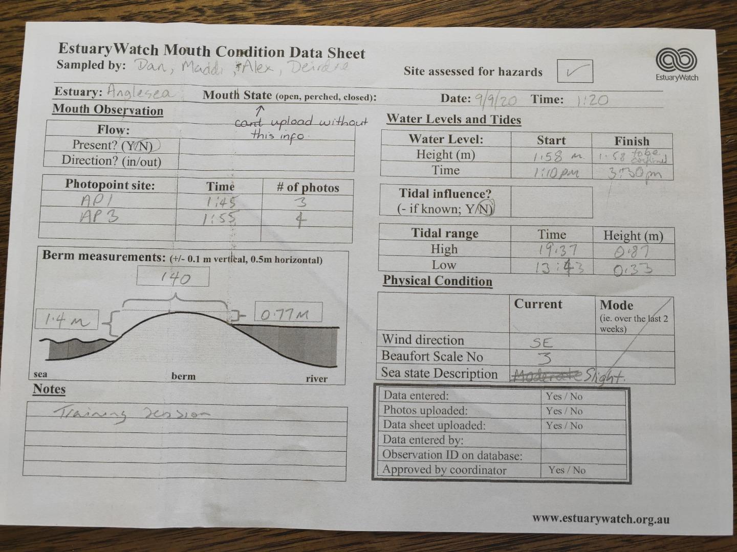 |
|
| #13644 | 18 Mar 2020 | Approved | ||
| #13587 | 19 Feb 2020 | Approved |
Notes:
Forgot to measure the height of the berm looking towards the river mouth |
|
| #14089 | 15 Jan 2020 | Approved |
Notes:
Summer by the Sea activity - D.Murphy |
|
| #13519 | 15 Jan 2020 | Approved |
Notes:
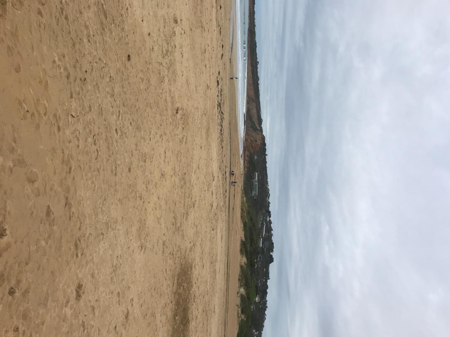
Berm Height Measurement from Diedre and Elise. Time between 10:30 am and 12:00 Note that waves from previous high tide (4:06 am) had overtopped the berm. Berm was at 1.16 + 1.0 = 2.16m AHD. See 2 photos attached Heavy Smoke haze caused postponement of Physico Chem readings until 16/1/20 |
|
| #13459 | 18 Dec 2019 | Approved | ||
| #13431 | 20 Nov 2019 | Approved | ||
| #13364 | 16 Oct 2019 | Approved | ||
| #13337 | 18 Sep 2019 | Approved |
Notes:
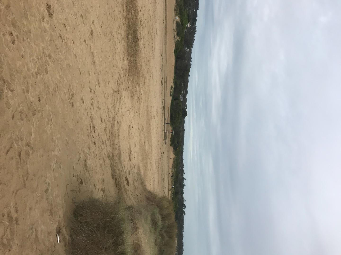
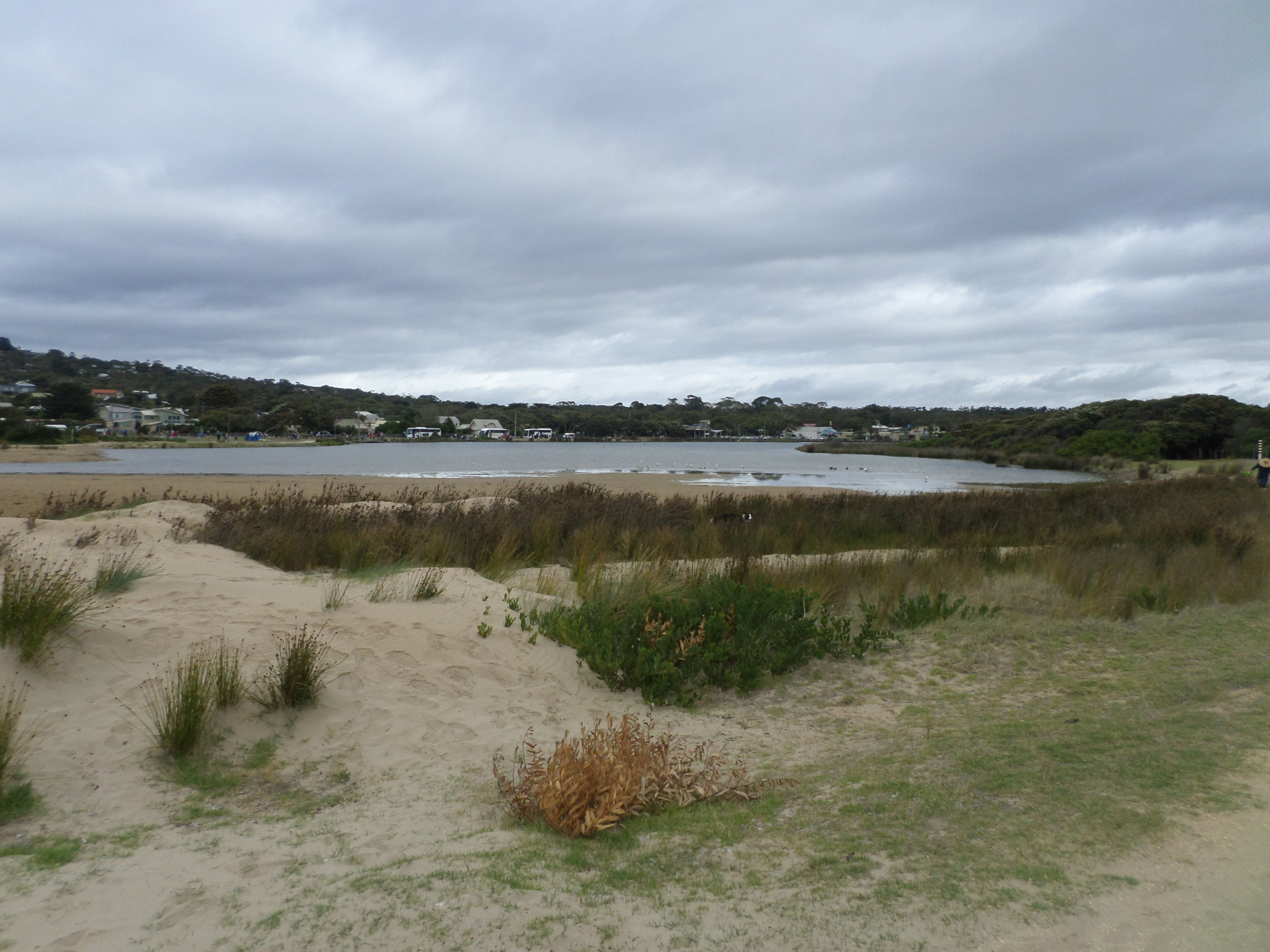
Broad flat section at Low tide making actual swash level difficult to ascertain See last photo attached |
|
| #13267 | 21 Aug 2019 | Approved |
Notes:
Mouth opened artificially last week |
|
| #13250 | 17 Jul 2019 | Approved | ||
| #13134 | 19 Jun 2019 | Approved | ||
| #13054 | 15 May 2019 | Approved |
Notes:
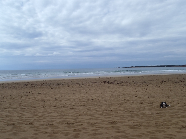
Rough seas, high tides over the past week, sea water had entered the estuary as per Neil's videos |
|
| #12865 | 17 Apr 2019 | Approved | ||
| #12852 | 27 Mar 2019 | Approved |
Notes:
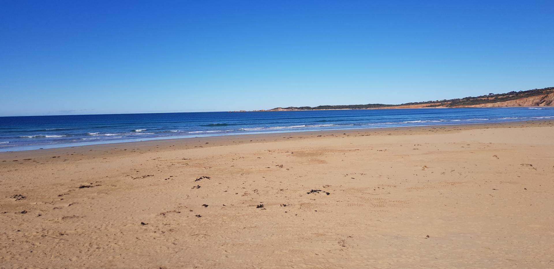
High tide last night spilled over berm all the way to the river mouth - 214m. |
|
| #12718 | 20 Feb 2019 | Approved |
Notes:
Longest berm and lowest river level ever recorded by this team - over the last 6 years. |
|
| #12665 | 23 Jan 2019 | Approved | ||
| #12609 | 19 Dec 2018 | Approved | ||
| #12550 | 21 Nov 2018 | Approved |
Notes:
Asst Sampler Rod Webster Estuary Depth Gauge at Ocean road Bridge almost unreadable. Needs clean. |
|
| #12449 | 17 Oct 2018 | Approved |
Notes:
Anglesea river at an all time low for this group of Estuary watchers. Height 1.2m. Length of berm also a record for this group 230m Berm ht above sea was 1.45m (low tide) Berm ht above river was 1m |
|
| #12497 | 19 Sep 2018 | Approved | ||
| #12339 | 15 Aug 2018 | Approved | ||
| #12297 | 18 Jul 2018 | Approved |
Notes:
Assisted by John Slykhuis |
|
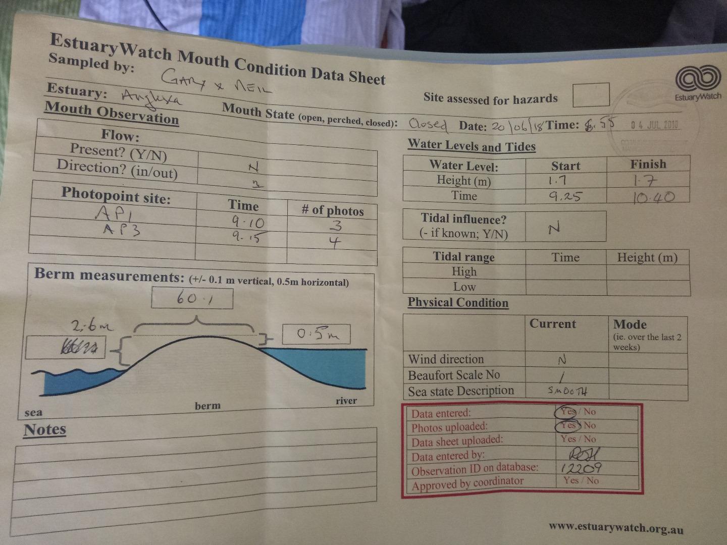
| #12209 | 20 Jun 2018 | Approved |
Notes:
Assisted by Gary Robinson |
|
| #12159 | 16 May 2018 | Approved | ||
| #11982 | 18 Apr 2018 | Approved |
Notes:
Sea has come over the berm to the estuary. |
|
| #11926 | 21 Mar 2018 | Approved | ||
| #11893 | 21 Feb 2018 | Approved | ||
| #11747 | 17 Jan 2018 | Approved | ||
| #11716 | 20 Dec 2017 | Approved | ||
| #11616 | 15 Nov 2017 | Approved | ||
| #11536 | 18 Oct 2017 | Approved | ||
| #11476 | 20 Sep 2017 | Approved | ||
| #11412 | 16 Aug 2017 | Approved |
Notes:
Unsure of tidal influence unclear about photo point A3-5 Sorry |
|
| #11353 | 19 Jul 2017 | Approved | ||
| #11275 | 21 Jun 2017 | Approved |
Notes:
White precipitate from acidic water at high water level. 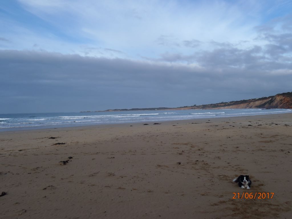 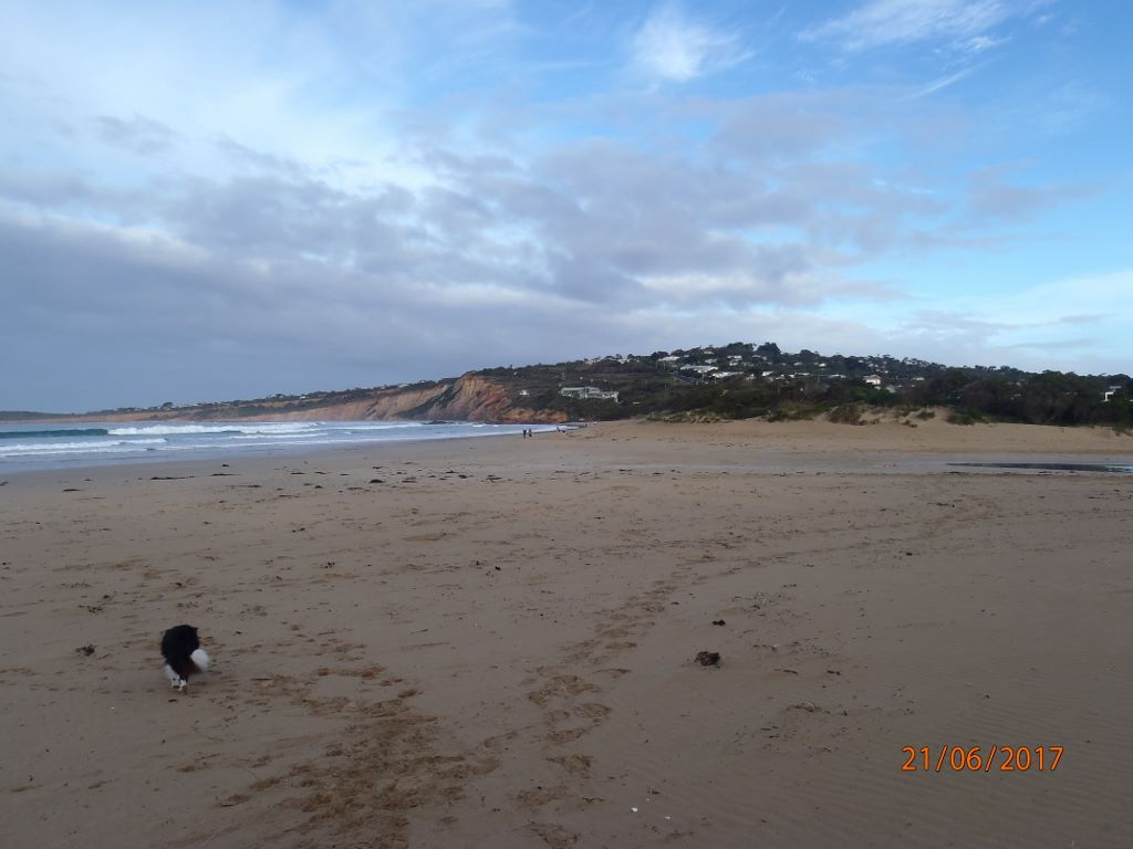 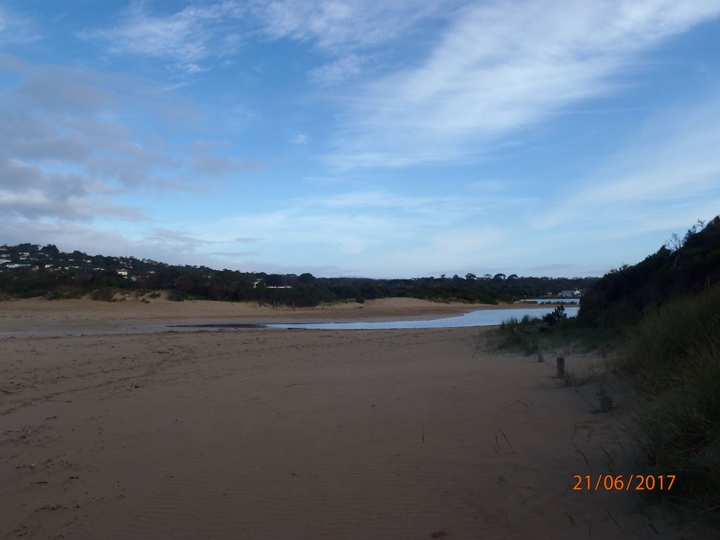 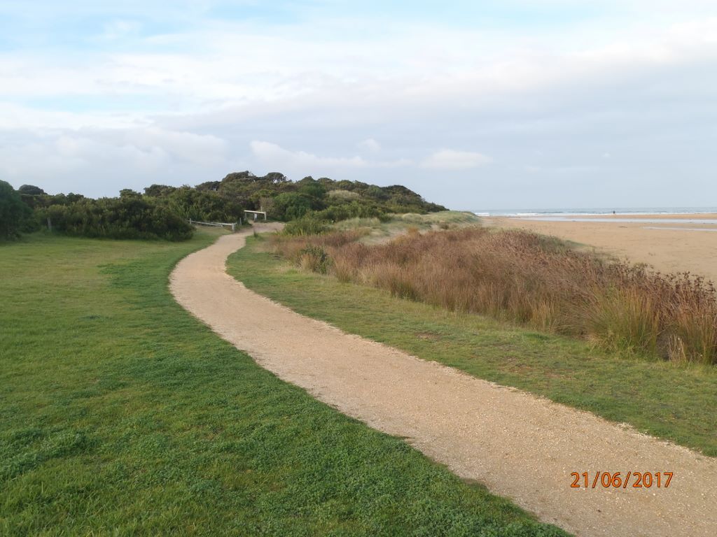 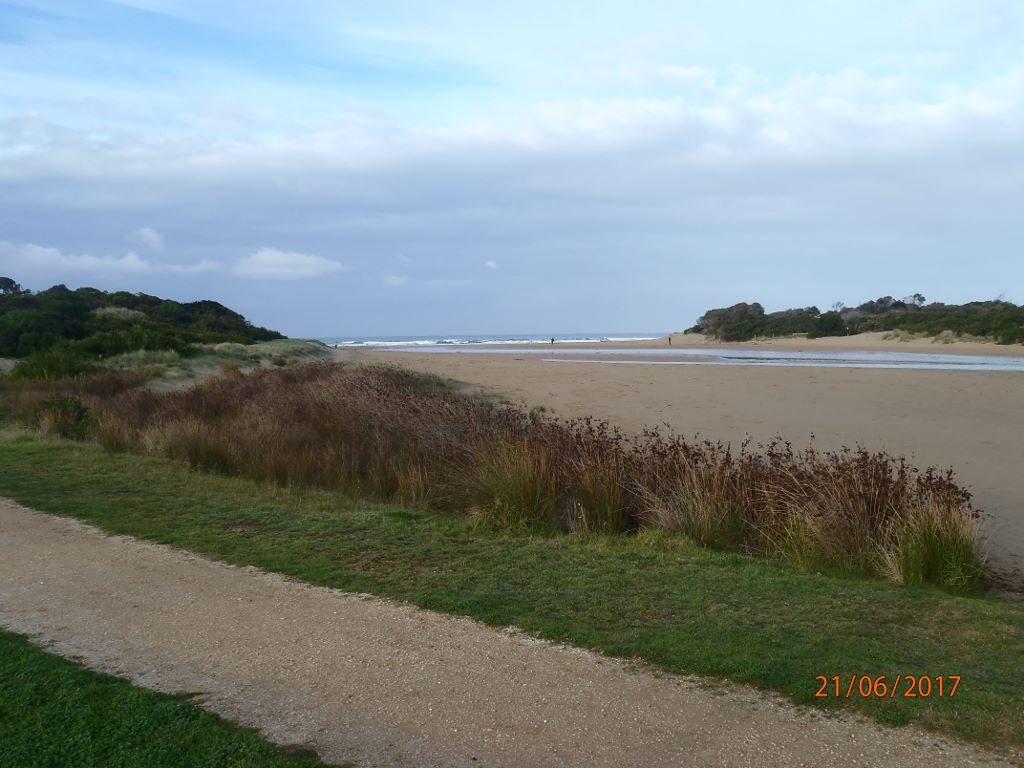 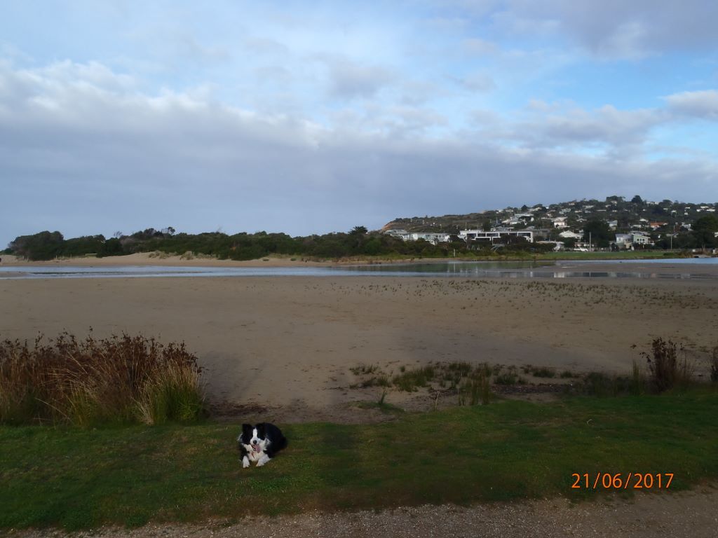    |
|
| #11176 | 17 May 2017 | Approved | ||
| #11102 | 19 Apr 2017 | Approved |
Notes:
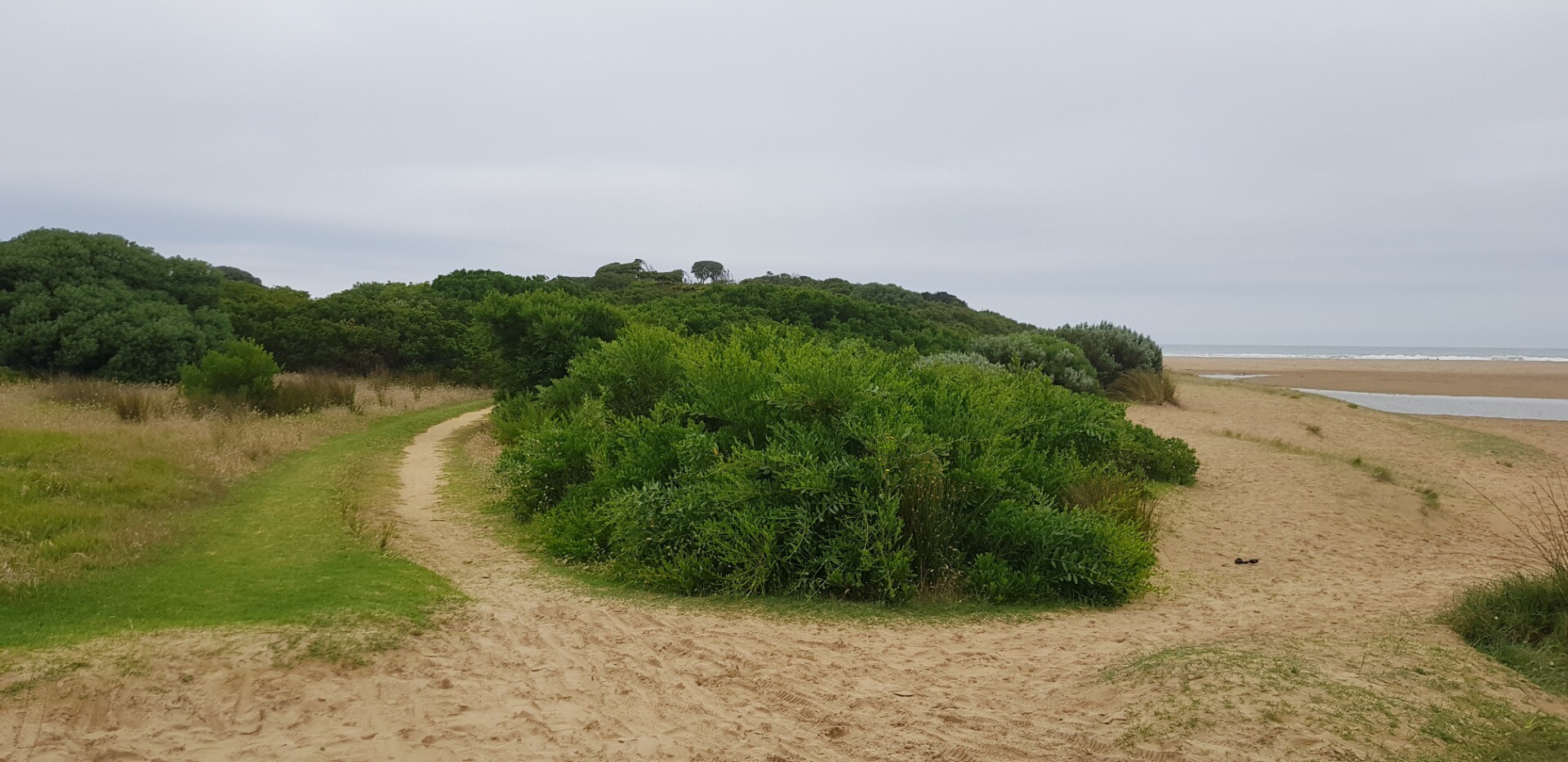
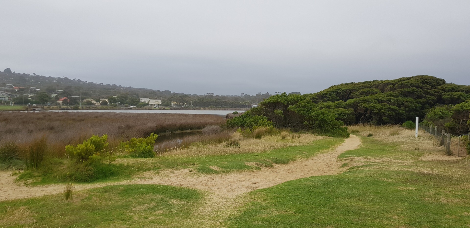
Photosite Ap2 needs to be moved because of rapid growth of vegetation on the dune, which is blocking out the view of the estuary, probably due to abundant RF this year. Coordinator will record new site before next observation and adjust the relevant documentation. |
|
| #10980 | 15 Mar 2017 | Approved | ||
| #10838 | 15 Feb 2017 | Approved |
Notes:
Sea water had flowed into river on the previous high tide Note Bush is obscuring photos from AP2 site. have included photos from a new location closer to the river! |
|
| #10728 | 18 Jan 2017 | Approved |
Notes:
wind may have impacted on height reading at bridge |
|
| #10630 | 14 Dec 2016 | Approved | ||
| #10572 | 23 Nov 2016 | Approved |
Notes:
White precipitate sitting on bottom |
|
| #12559 | 22 Nov 2016 | Approved |
Notes:
low tide, difficult to measure berm |
|
| #10444 | 19 Oct 2016 | Approved | ||
| #10770 | 21 Sep 2016 | Approved |
Notes:
|
|
| #10432 | 13 Sep 2016 | Approved |
Notes:
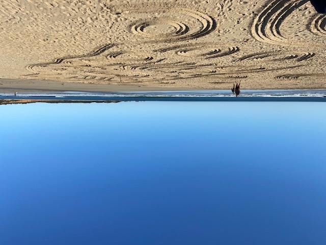
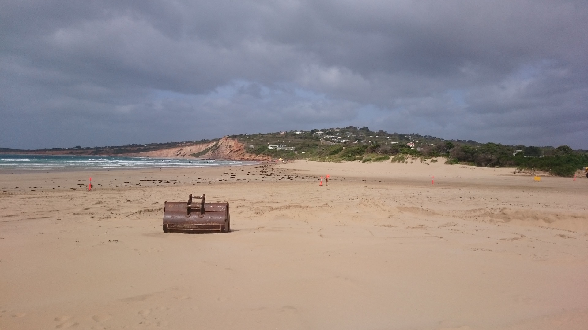
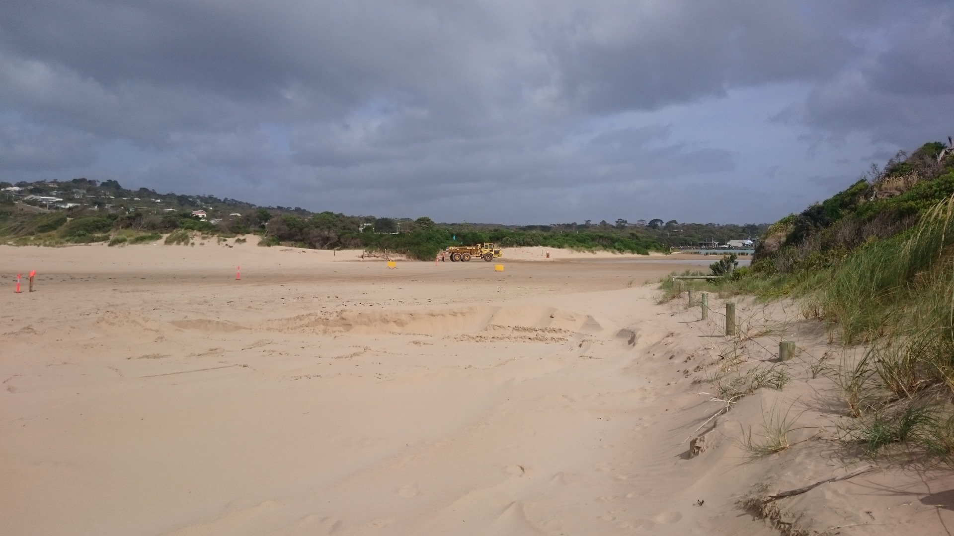
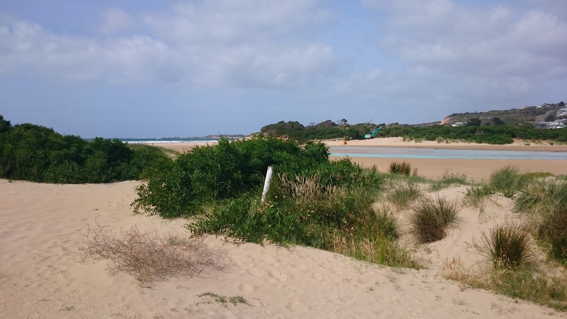
This datasheet was completed during a workshop with the Surf Coast Green Army team. The estuary was artificially opened earlier that day. The digger was still operating when we arrived at the estuary mouth at 9:30am. On this occoasion no photopoint photos were taken because it was unsafe to cross the estuary mouth. See photos. 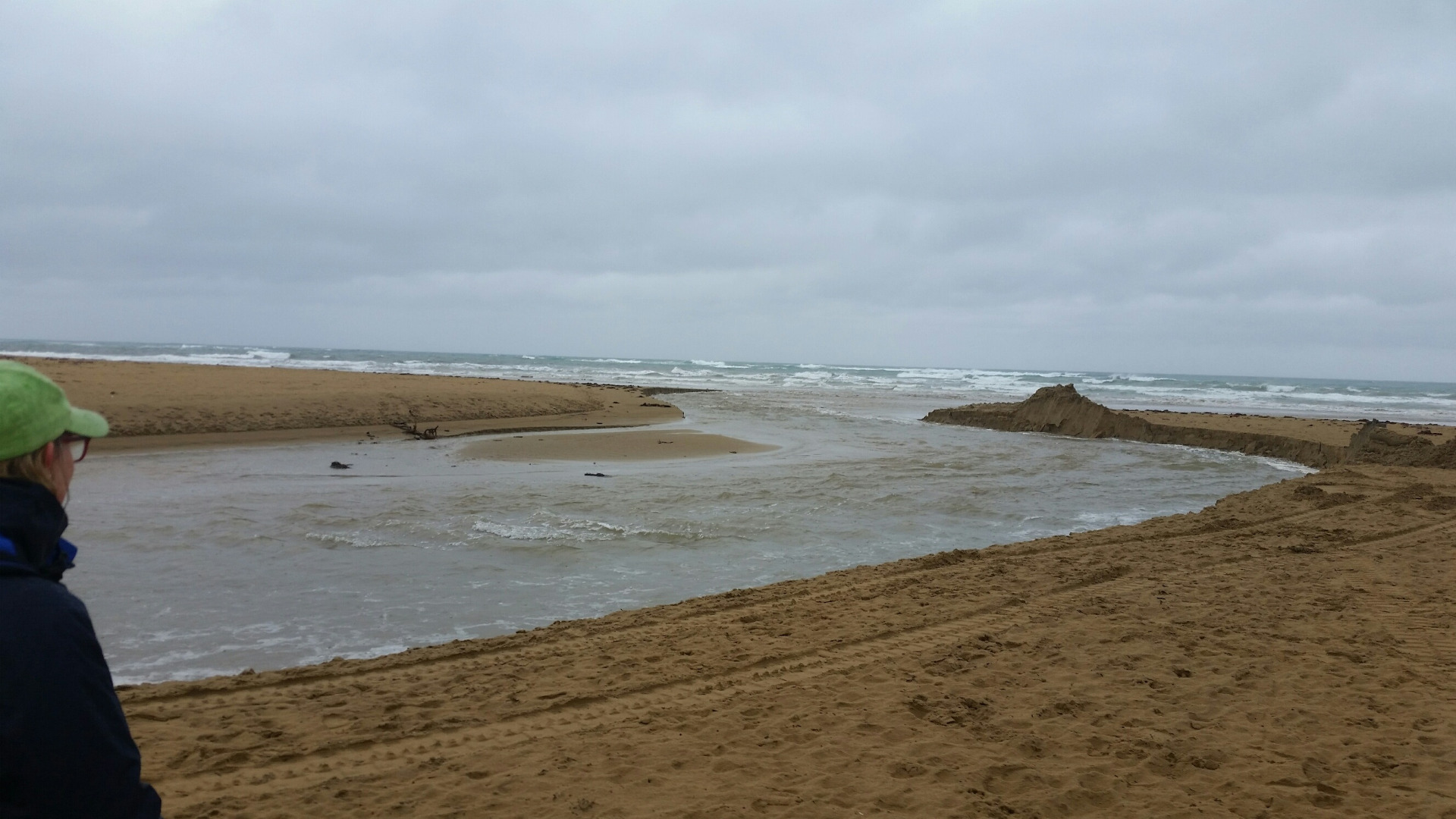 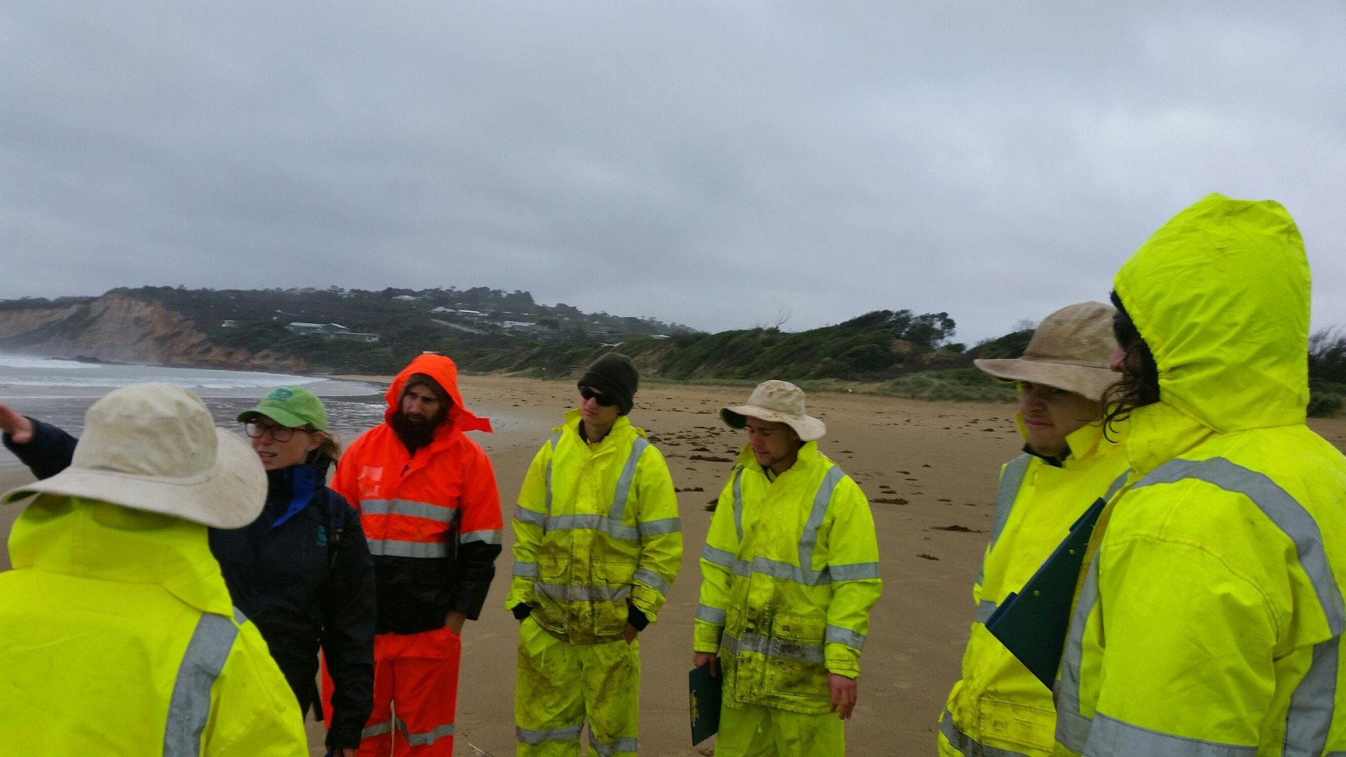 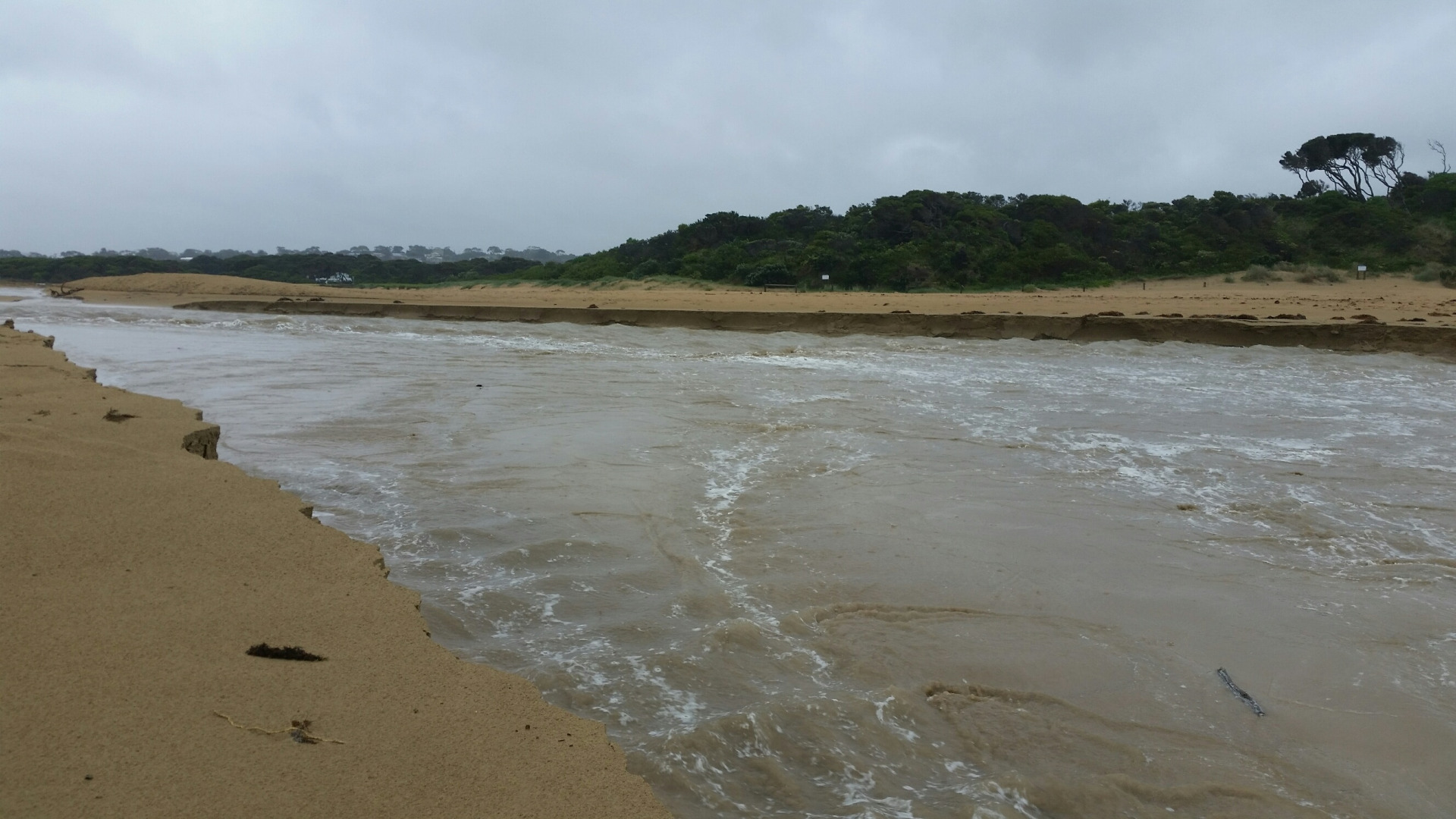 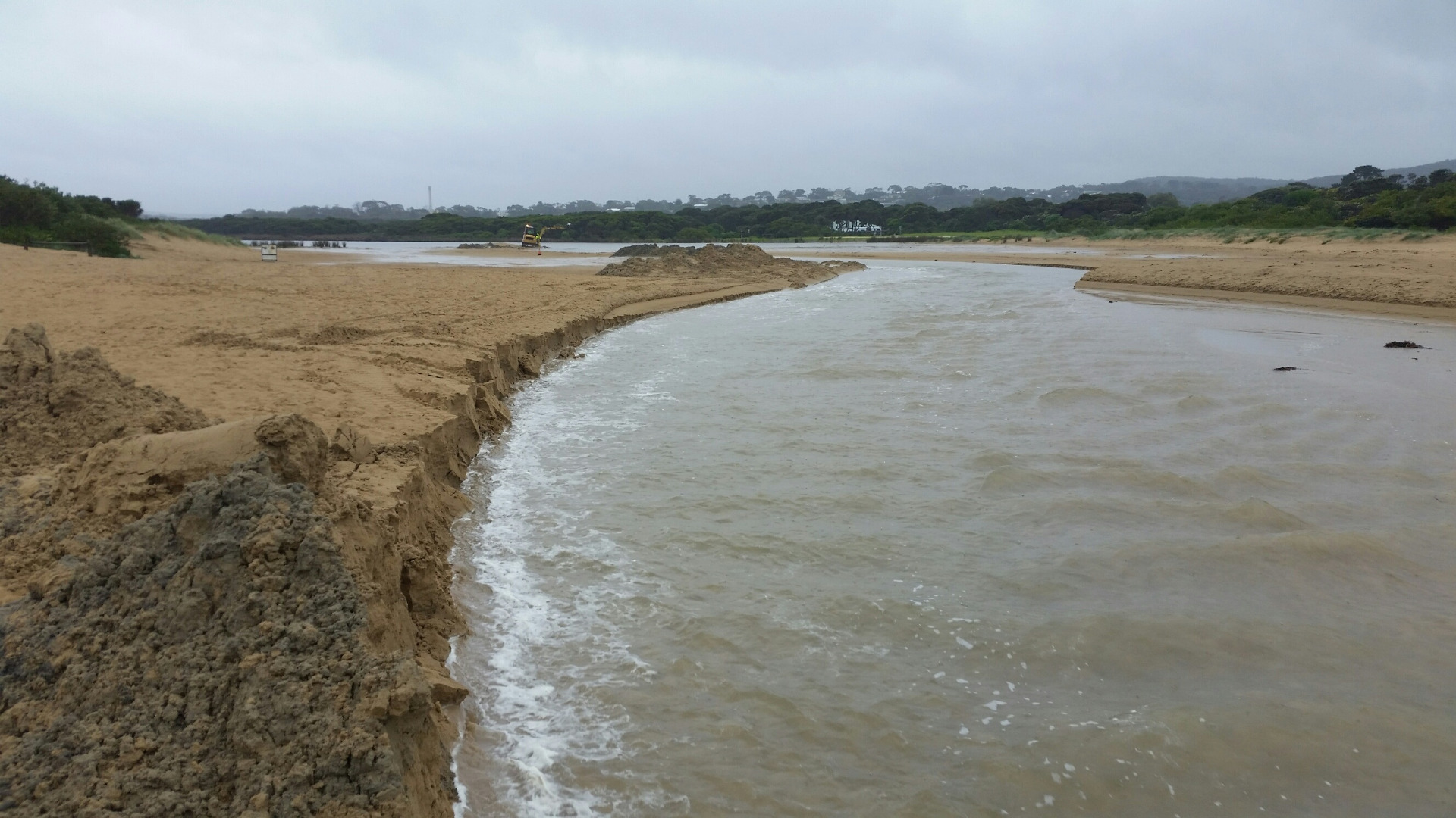 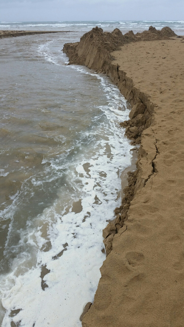 |
|
| #10433 | 12 Sep 2016 | Approved | ||
| #10693 | 25 Aug 2016 | Approved | ||
| #10723 | 17 Aug 2016 | Approved | ||
| #10464 | 20 Jul 2016 | Approved | ||
| #10387 | 15 Jun 2016 | Approved | Notes: Assisted by Laura. Berm was 115.7m long. | |
| #10334 | 25 May 2016 | Approved | Notes: Berm length was 87.5m. | |
| #10261 | 20 Apr 2016 | Approved | Notes: Berm length 128m | |
| #10267 | 16 Mar 2016 | Approved |
Notes:
Berm length 187m. |
|
| #10179 | 18 Feb 2016 | Approved | Notes: Surf Coast Green Army took these readings as part of a half day EstuaryWatch workshop. Berm length was 149.4m. | |
| #10177 | 17 Feb 2016 | Approved | Notes: 73 metre long sand berm. Sea overtopping the berm on last high tide. | |
| #10085 | 20 Jan 2016 | Approved | Notes: Water level Indicator on Anglesea Bridge is badly fouled up-difficult to read. Berm length was 192m. | |
| #10019 | 16 Dec 2015 | Approved | Notes: Distance from river to sea 145 meters. | |


All content, files, data and images provided by the EstuaryWatch Data Portal and Gallery are subject to a Creative Commons Attribution License
Content is made available to be used in any way, and should always attribute EstuaryWatch and www.estuarywatch.org.au