EstuaryWatch Data Portal
Estuary events Painkalac Creek Estuary
| Date | Details | |
|---|---|---|
| 25-07-2022 |
Estuary Entrance Opening Dear Community members With the recent partial opening on July 15th, Council has been monitoring Painkalac Creek water levels. With a saturated catchment any inflows over the past 2 weeks have resulted in water level rise. The weekends 7mm of rain in the catchment saw river levels rise to 1.9 metres which results in minor drain flooding along roadsides in specific low lying areas. The reservoir is currently full and is therefore not able to hold back any upstream inflows. The sand berm at the river mouth is blocking the river flows and is approximately 0.65metres above the estuary water levels. With a further rainfall forecast of 20mm due and without removal of the sand berm, it is likely water levels will rise enough to cause flooding to houses. Council is therefore proposing to open the estuary mouth today with the support of CCMA, Barwon Water and DELWP. Sharna Whitehead PS from Rod Brooks: The estuary had naturally closed on 13 August but naturally reopened on 14 August following rainfall and then naturally closed on 11 September 2022 Rod Brooks |
|
| 21-07-2022 |
EstuaryWatch Monitoring Group notices & meetings Painkalac Creek fringing vegetation type maps from 2017 These maps have been made by one of EstuaryWatch team Evy Gomm using open source data collected by Sinclair and Kohout 2018 The online data source is: https://discover.data.vic.gov.au/dataset/index-of-estuarine-condition-estuarine-fringing-vegetation The report where the data collection methods are described is attached: Sinclair, S.J. and Kohout, M. (2018). Assessment of fringing vegetation for the index of estuary condition. Arthur Rylah Institute for Environmental Research Technical Report Series No. 290. Department of Environment, Land, Water and Planning, Heidelberg, Victoria. Rod Brooks 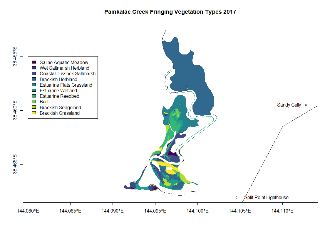 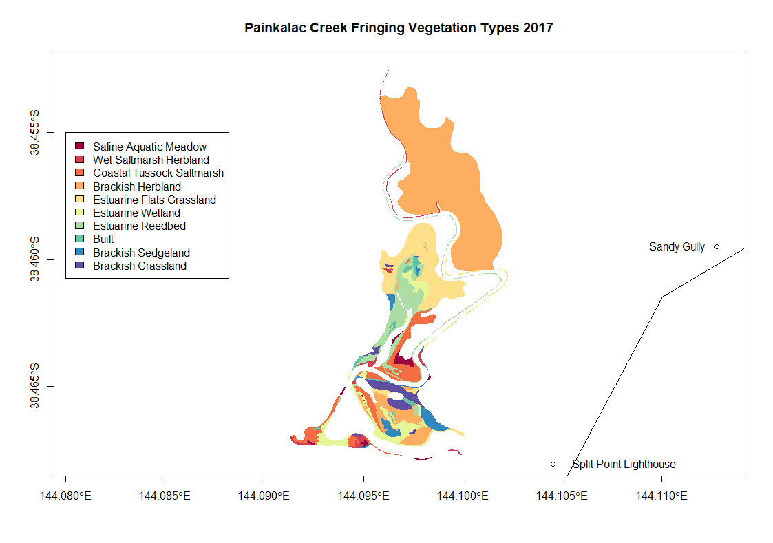 |
|
| 15-07-2022 |
Estuary Entrance Opening Dear Community members With the recent wet weather, Council has been monitoring Painkalac Creek water levels. River levels have risen to 1.89 metres which results in minor drain flooding along roadsides in specific low lying areas. The reservoir is currently full and is therefore not able to hold back any upstream inflows. The sand berm at the river mouth is blocking the river flows and is approximately 0.65 metres above the estuary water levels. With a further significant rainfall event due and without removal of the sand berm, it is likely water levels will rise enough to cause flooding to houses. Council is therefore proposing to open the estuary mouth today with the support of CCMA, Barwon Water and DELWP. Sharna Whiteheasd P.S. the opening was only partial and closed over in a few days. Rod Brooks |
|
| 17-06-2022 |
Estuary Entrance Opening Council digger artificially opening estuary mouth Rod Brooks |
|
| 20-06-2018 |
Estuary Entrance Opening Surf Coast Shire has artificially opened the estuary around 20th June. Water level (m AHD) at the bridge is still high at just on 2m AHD and Coastal Court and Butlers Bend monitoring sites are still underwater. Leonie Mugavin |
|
| 17-06-2018 |
Unusual/Extraordinary occurrence! High tides 1.8m on Saturday and Sunday saw the sea go over the berm on both days. Photos are from Sunday 17th June at 2.40pm. Very windy day and a big sea following high rainfall. 1.9m AHD at the Bridge Leonie Mugavin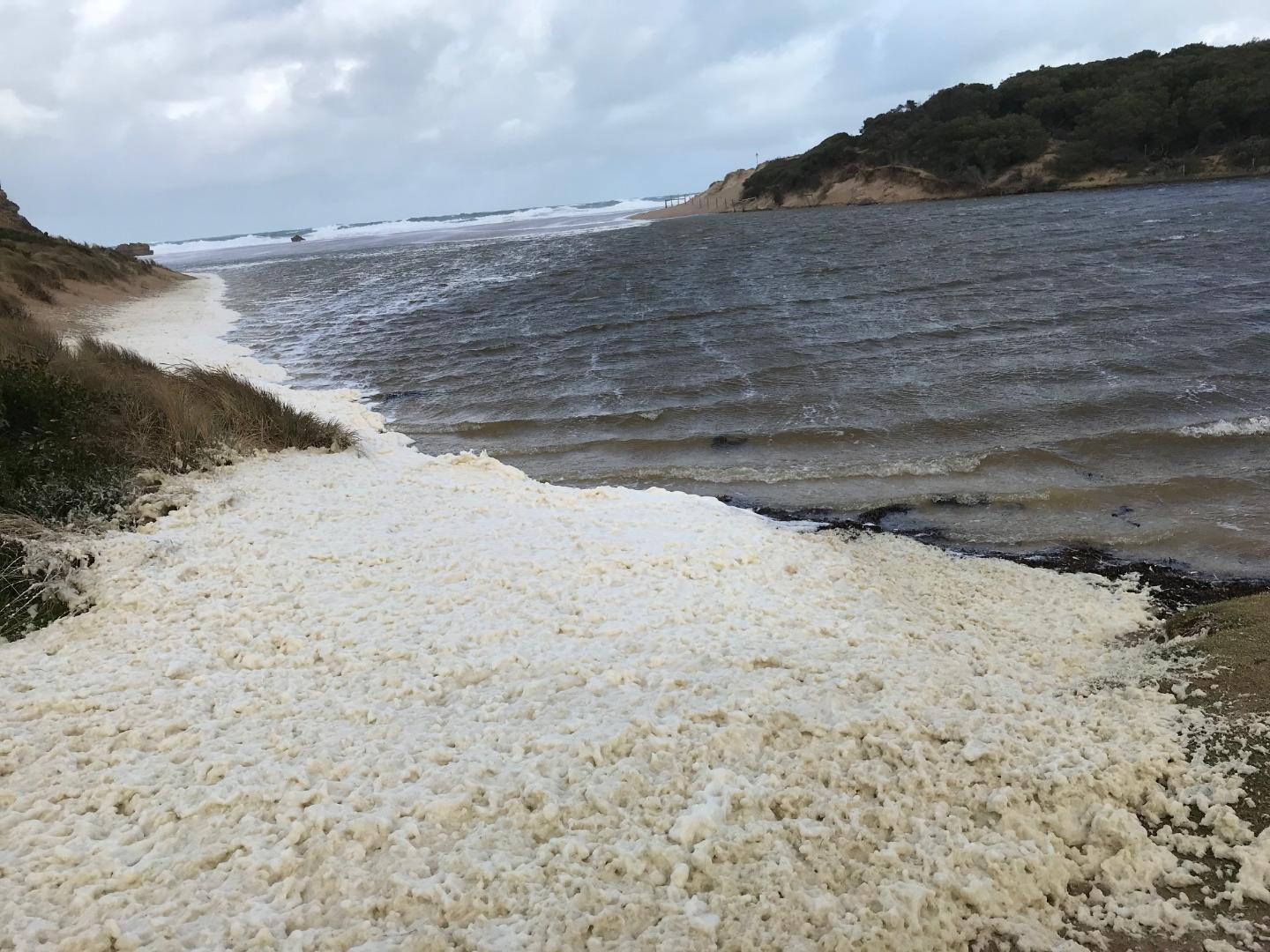 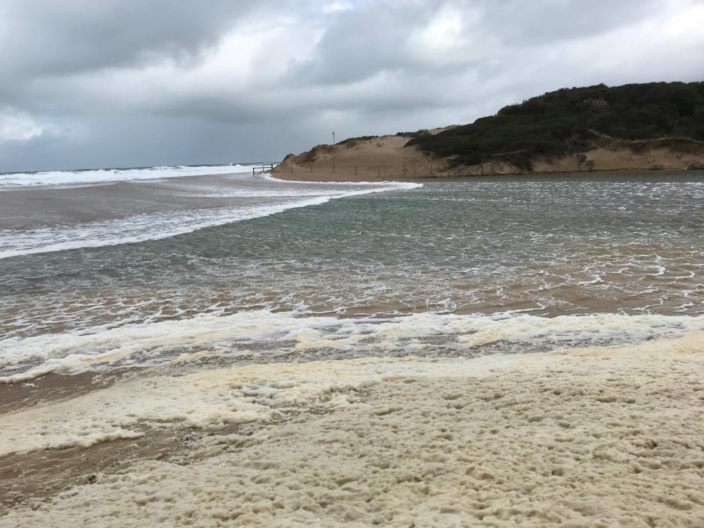 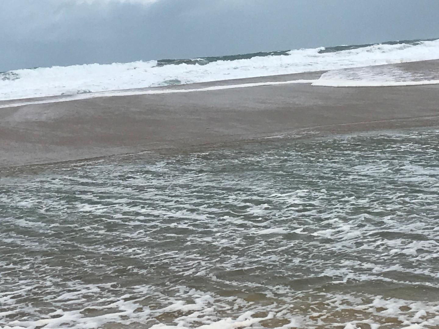 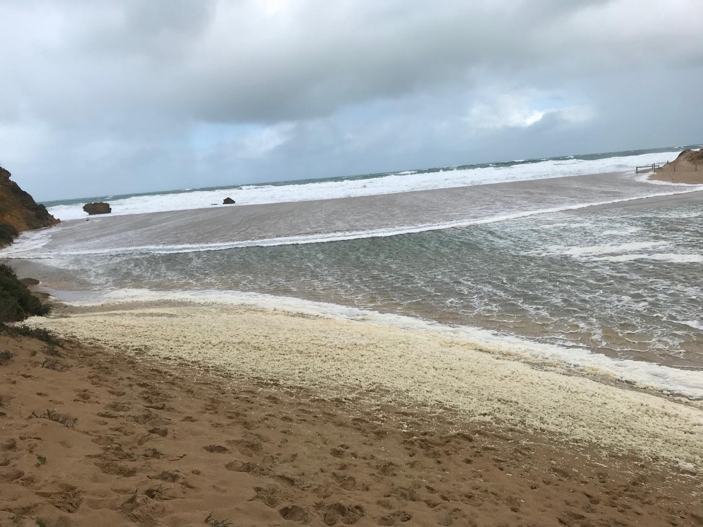 |
|
| 21-05-2018 |
Unusual/Extraordinary occurrence! High tide 1.8m Monday 21st Leonie Mugavin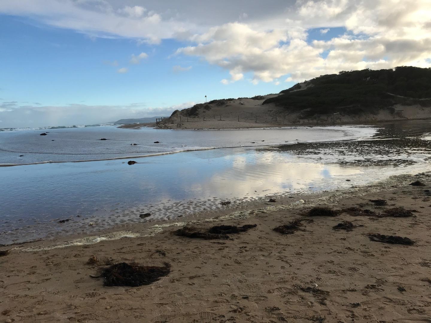 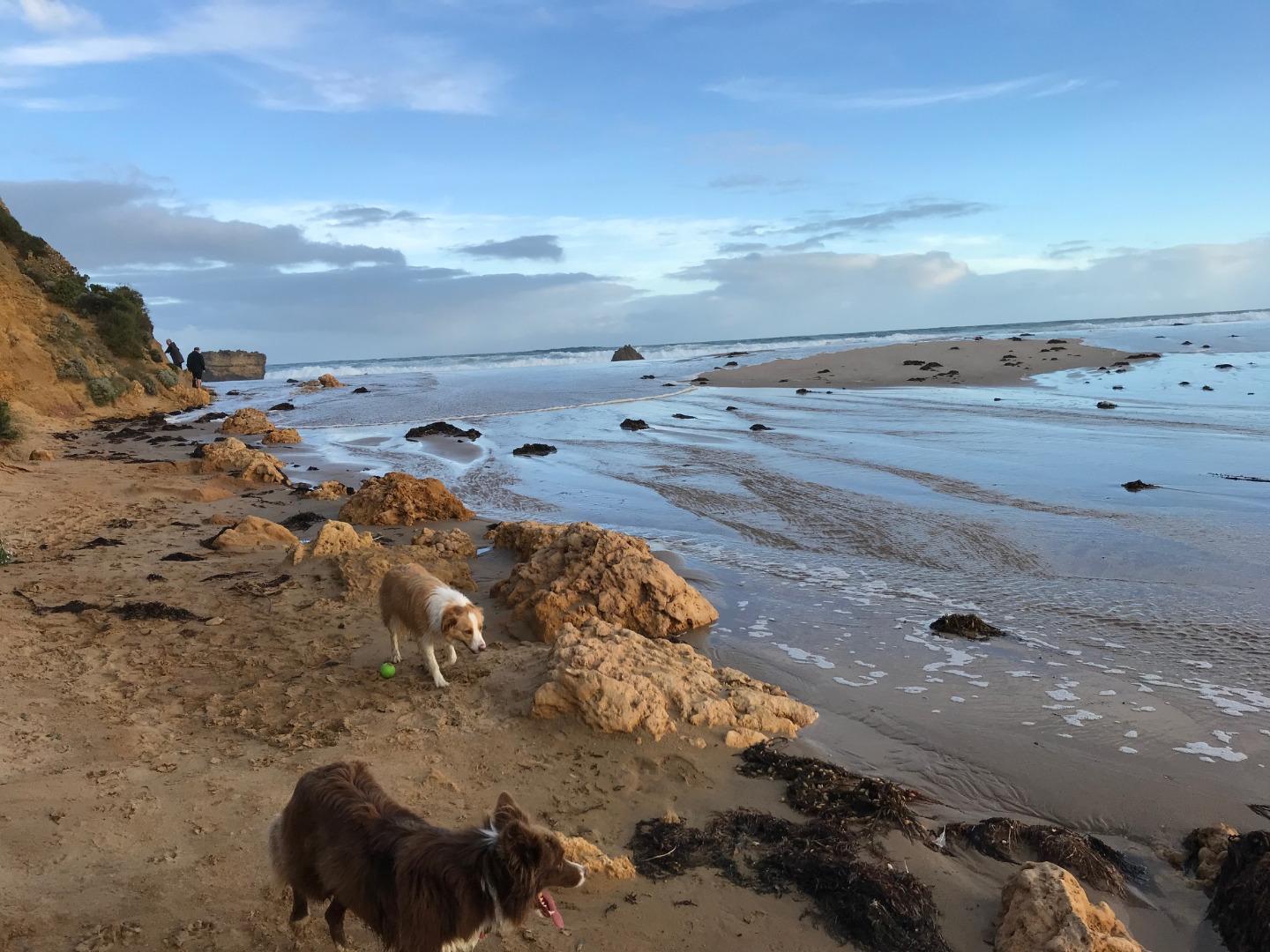   |
|
| 20-05-2018 |
Unusual/Extraordinary occurrence! 1.8m high tides again on Sunday 20th and Monday 21st May. Sea water over the berm both days. Water level at the Bridge was 1.45m Leonie Mugavin  |
|
| 18-05-2018 |
Unusual/Extraordinary occurrence! The high 1.8m tide at 2.08pm broke over the berm and sea water entered the estuary. Not a lot of sea water but it looked like it may have happened a few times this week as there was quite a lot of seaweed over the berm. Estuary height was 1.4m Leonie Mugavin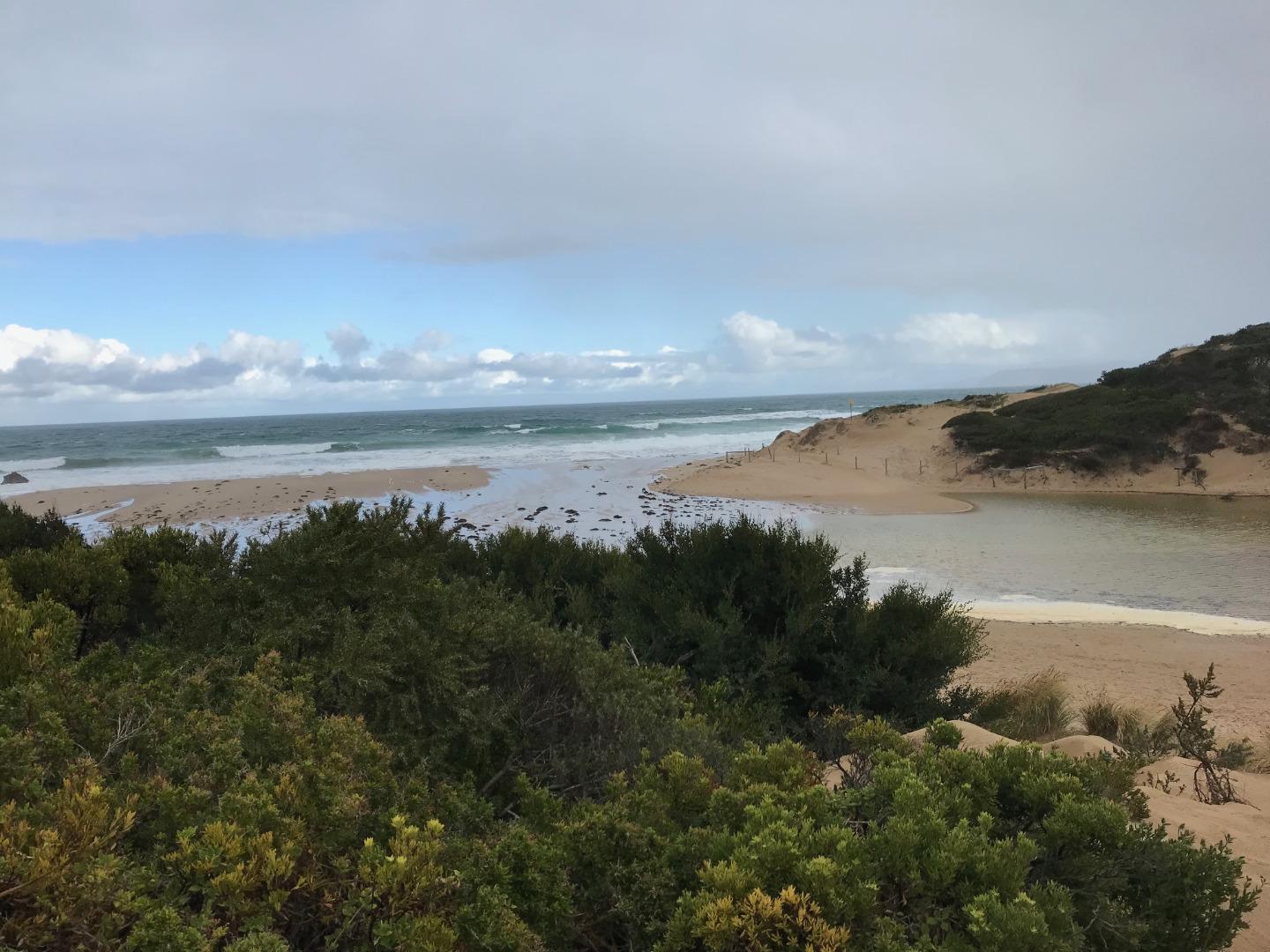 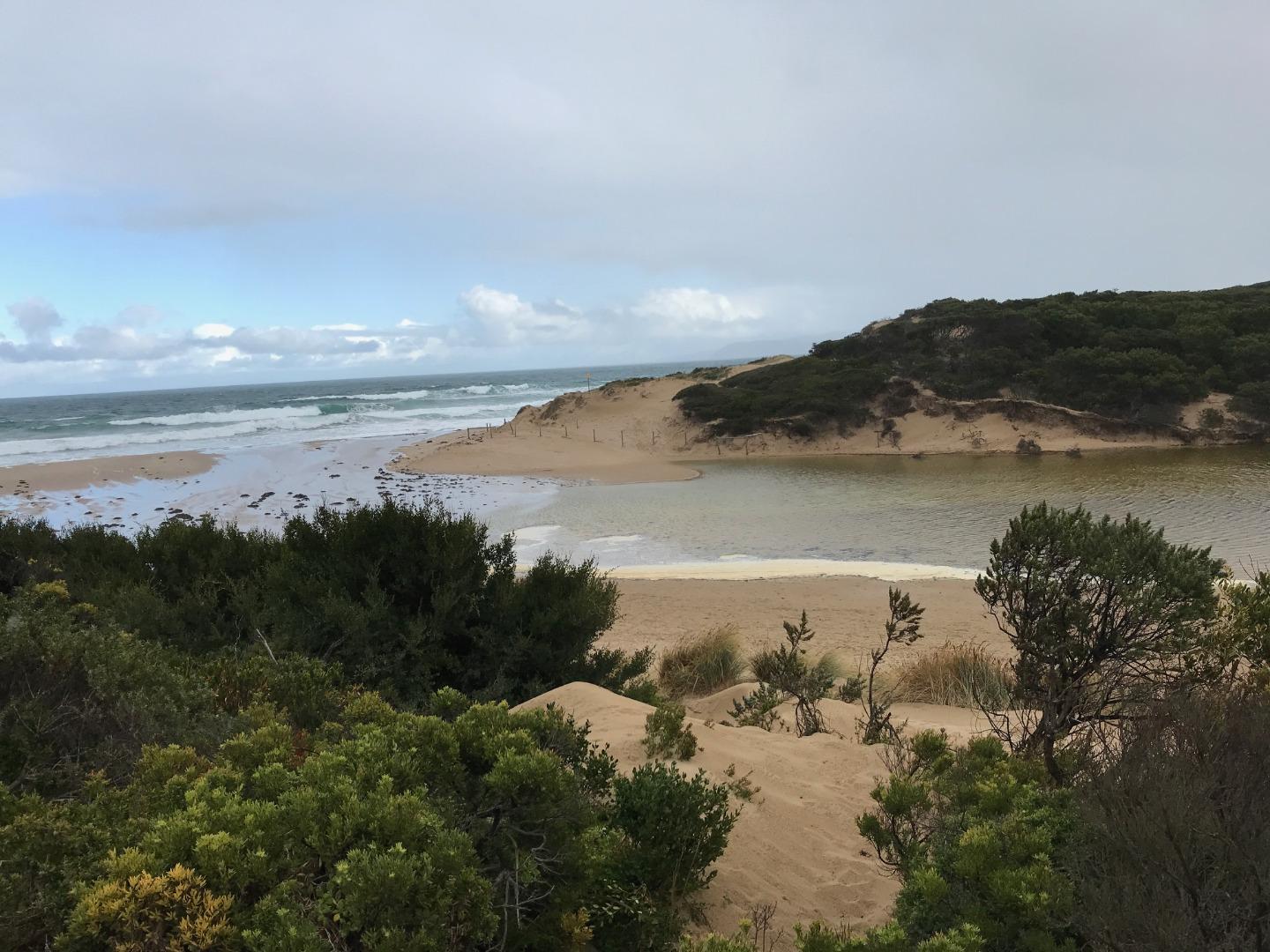 |
|
| 18-04-2018 |
Tides High tide of 1.6m today saw the sea water break the berm. Not very much sea water into the estuary but higher tides are expected for the rest of the week. The estuary water level was 1.3m Leonie Mugavin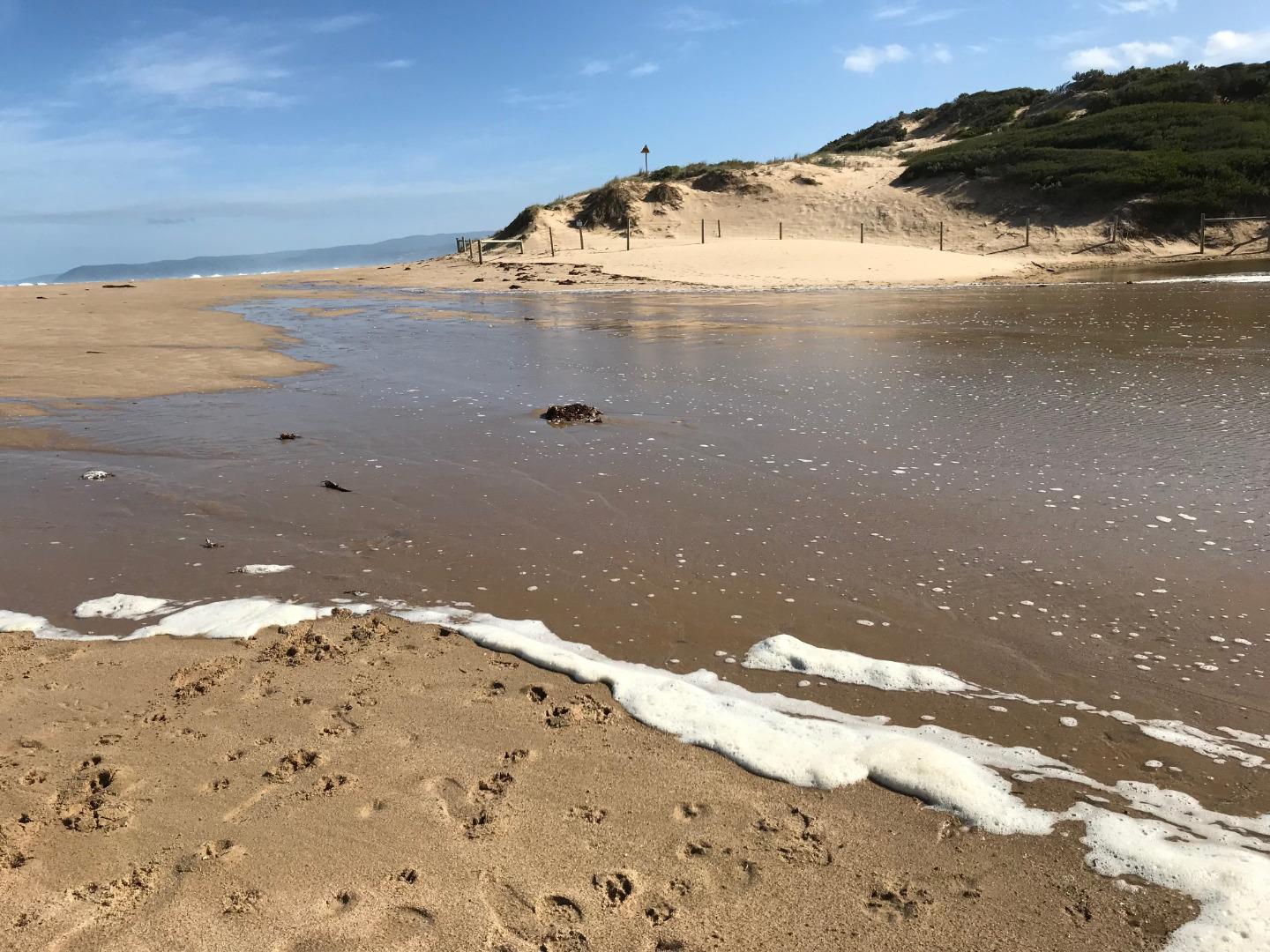  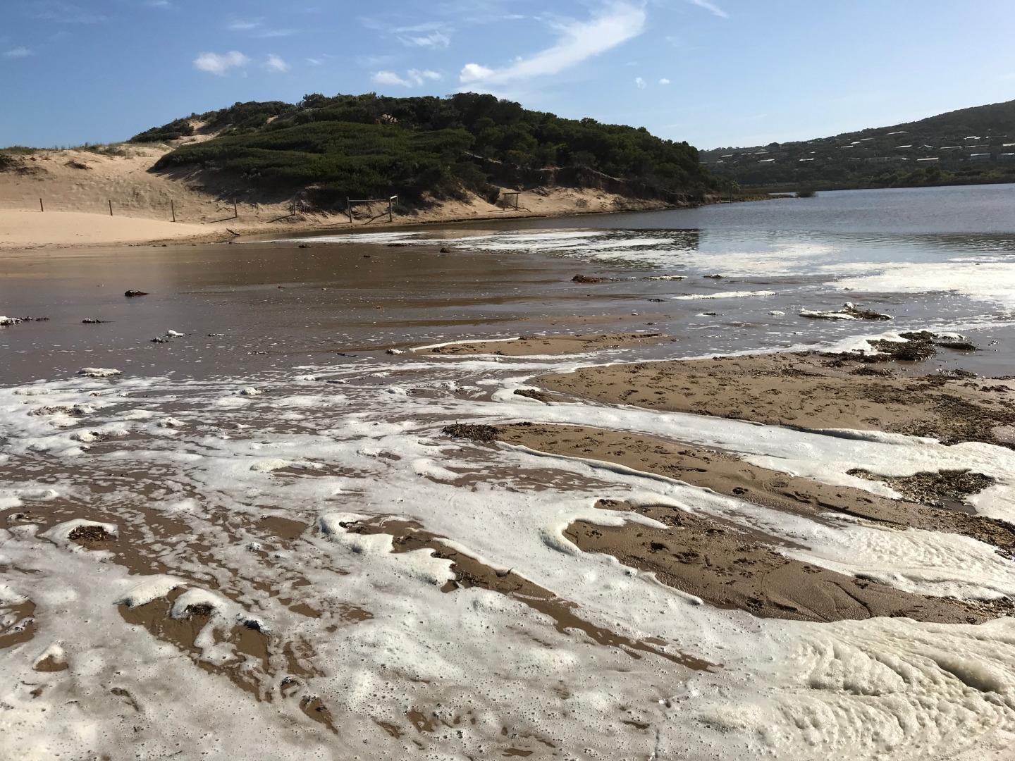 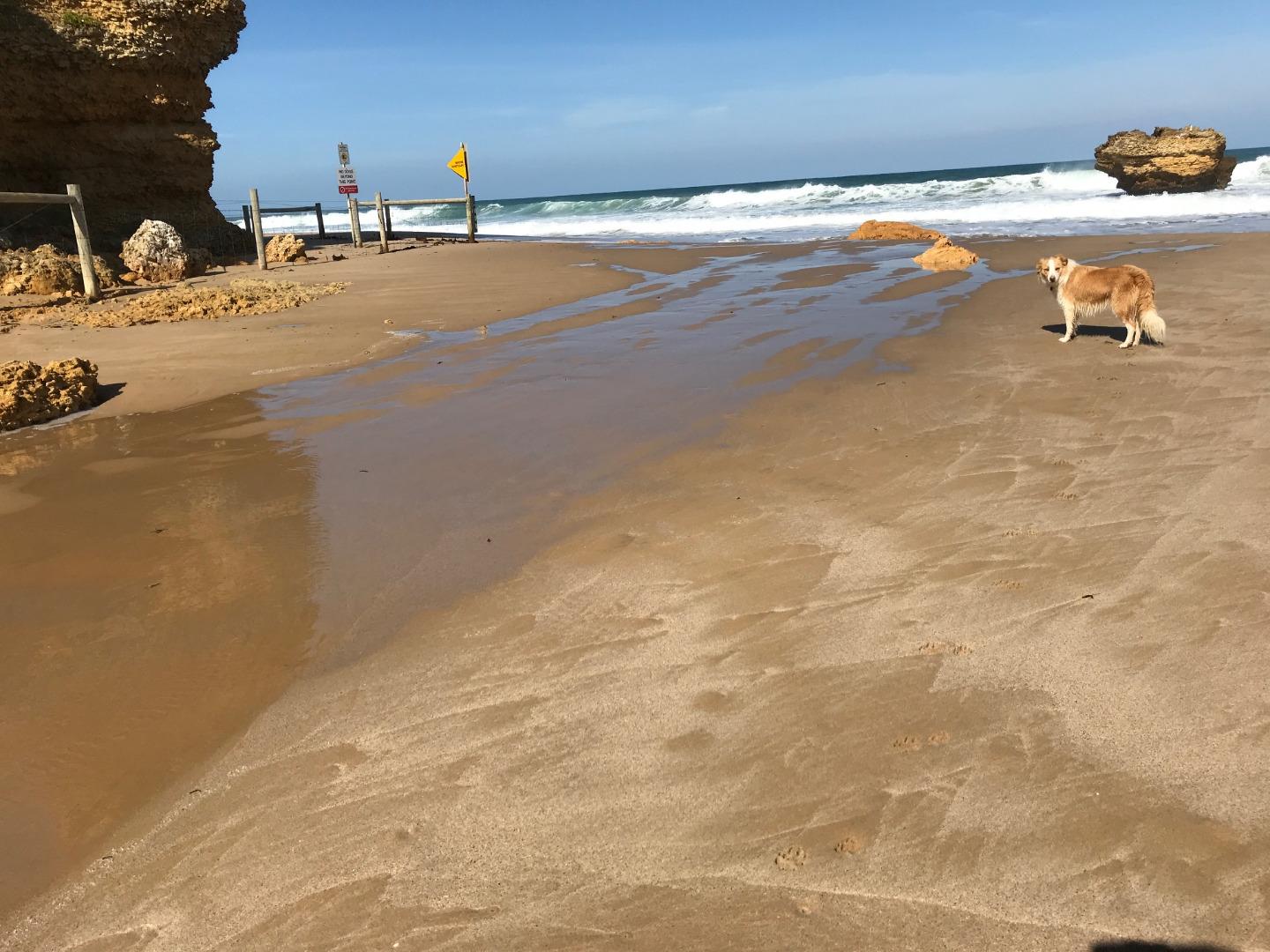 |
|
| 05-02-2018 |
Water level On Monday February 5, Barwon Water increased releases from the Painkalac Reservoir into Painkalac Creek from 0.6-0.7 Mega Litres of water per day to 2 Mega Litres of water per day. Releases will return to 0.6-0.7 Mega Litres of water per day on Thursday February 8. This release of water is called a “Low Flow Fresh”. A “Low Flow Fresh” is a small amount of water released over a short period of time (1-3 days). This release of water mimics a localised rainfall event during a time when there is low freshwater flow (Dec-March). The aim of the release is to maintain summer/autumn water quality, flush sediments from potential egg laying sites in the lead up to autumn fish breeding season and provide some depth variability on surfaces of large wood in the river channel. If you would like to learn more about the water releases from the Painkalac Reservoir I suggest you have a read of this report written in 2008 http://www.ccmaknowledgebase.vic.gov.au/resources/Painkalac_Creek_Recommendations_Paper_Final.pdf The Victorian Environmental Water Holder also has some fantastic videos on the topic https://www.youtube.com/watch?v=5n2_UtsRh6w&index=11&list=UUaG0oi6DPFnk2PjkOQYXV1g https://www.youtube.com/watch?v=f6QLLNsc3nk&index=6&list=UUaG0oi6DPFnk2PjkOQYXV1g Rose Herben |
|
| 01-12-2017 |
Estuary Entrance Opening Permitted artificial estuary opening. Opening was conducted due to avoid localised flooding. Significant rain on the way for the next three days – 90-95% chance of up to 30 mm each of Friday through Sunday. Rose Herben |
|
| 20-08-2017 |
Estuary Entrance Opening Artificial opening of the estuary happened sometime in the afternoon of Saturday 19th August. Water level 0.9m AHD Sunday 20th at 10.30am Leonie Mugavin 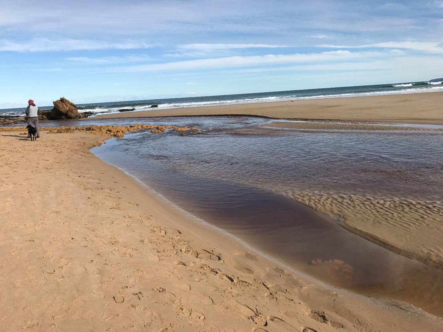 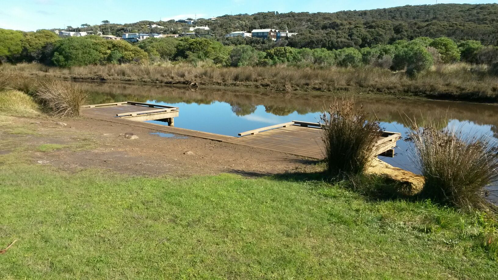 |
|
| 19-08-2017 |
Weather Event Some flooding around the Painkalac Estuary. High tide around 10.45am and the sea water almost breaking the berm. Water level 2.1m AHD Leonie Mugavin |
|
| 13-08-2017 |
Unusual/Extraordinary occurrence! Coastal Court monitoring platform found to be underwater. Monitoring not conducted. Water noted to be flowing, gently downstream (outward flow). Jacqui Arnott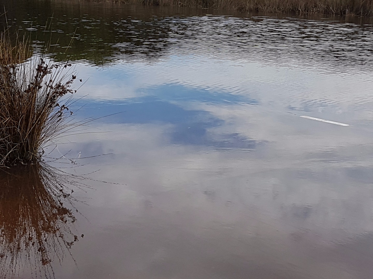 |
|
| 23-07-2017 |
Water level Estuary opened. Water level 1.5m AHD. Rose Herben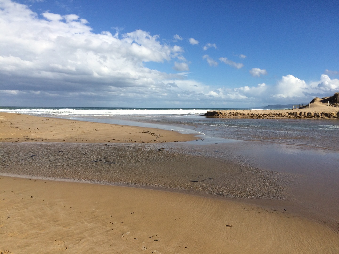 |
|
| 23-07-2017 |
Water level The estuary today was quite tidal in that it filled up at high tide and was emptied at low tide. It was going up and down at least half a metre. For example, very low at 9:30 and quite full at 12:30. Rose Herben |
|
| 22-07-2017 |
Estuary Entrance Opening The Painkalac Creek estuary has opened to the sea. Water level 0.85m AHD. Rose Herben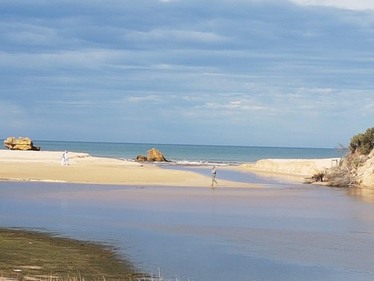 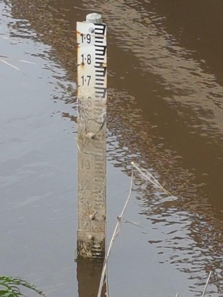 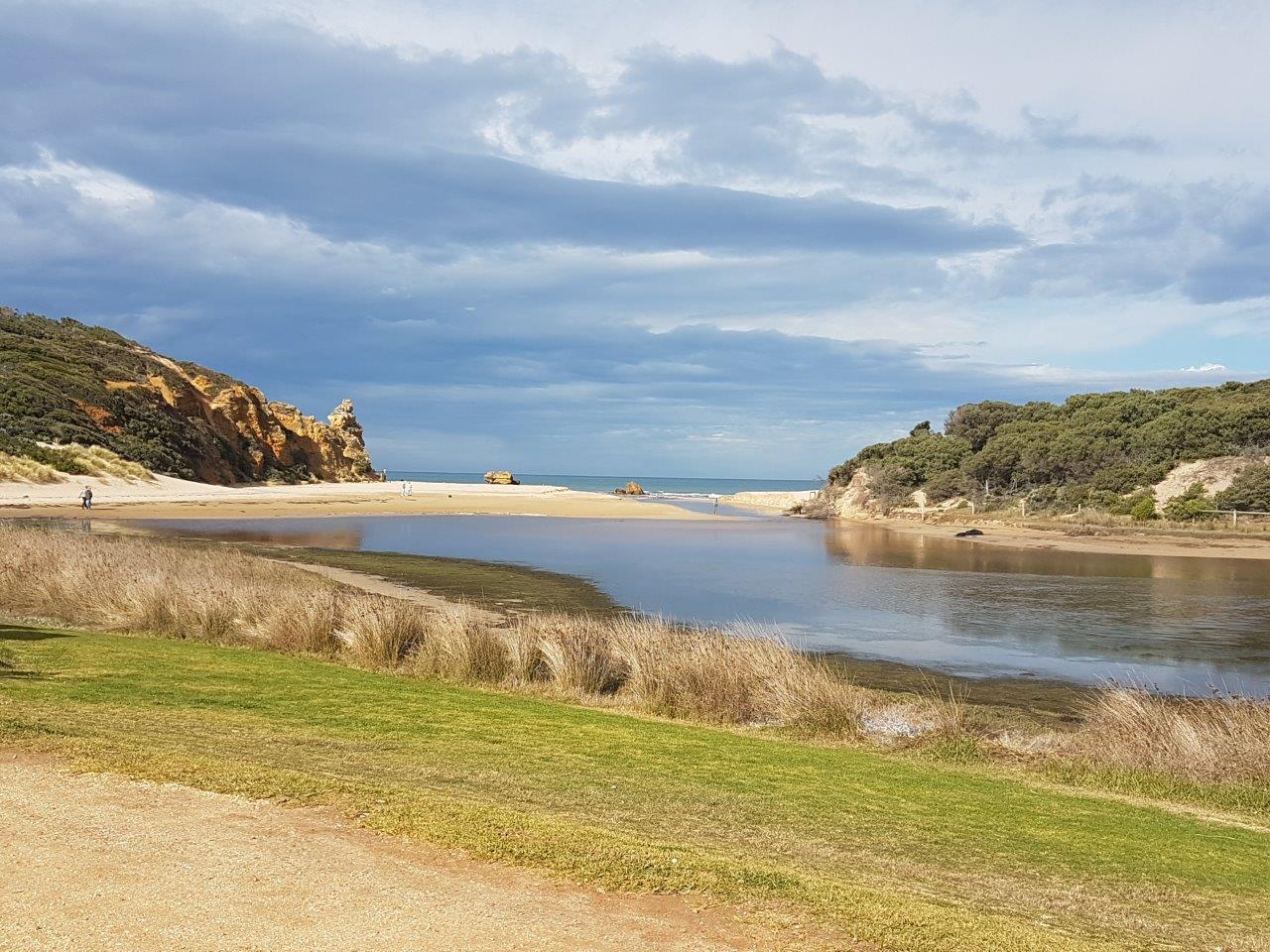 |
|
| 21-07-2017 |
Estuary Entrance Closure Painkalac Creek estuary closed. Water level 1.55m AHD. Sea water overtopping the berm. Rose Herben   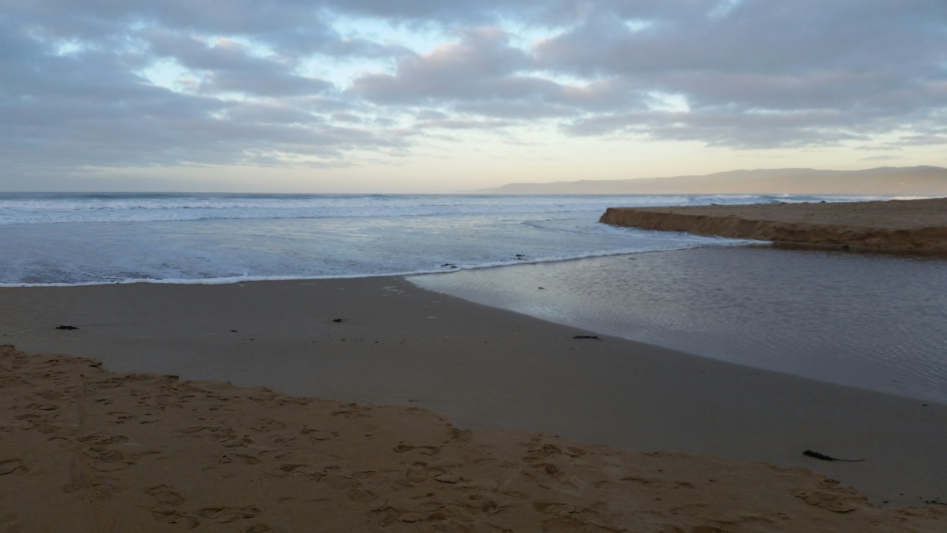  |
|
| 16-07-2017 |
Estuary Entrance Opening These photos show changes at the estuary 24 hours after an artificial opening on 15.07.17. Water depth 0.83m AHD. Leonie Mugavin |
|
| 15-07-2017 |
Unusual/Extraordinary occurrence! Monitoring platform at Coastal court was underwater. Estuary had been artificially opened at this stage, but yet to have an effect upstream. Jacqui Arnott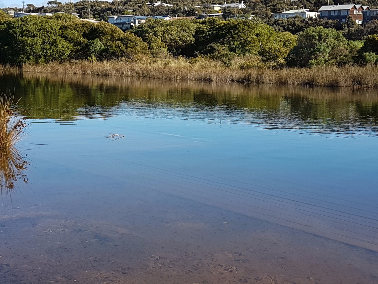 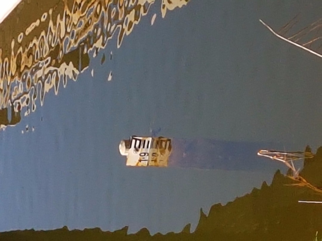 |
|
| 15-07-2017 |
Estuary Entrance Opening Estuary opened by Surf Coast Shire at low tide. Quite a shallow opening created to allow for a slow flow out to sea. Water level 1.9m AHD at the bridge prior to opening. Leonie Mugavin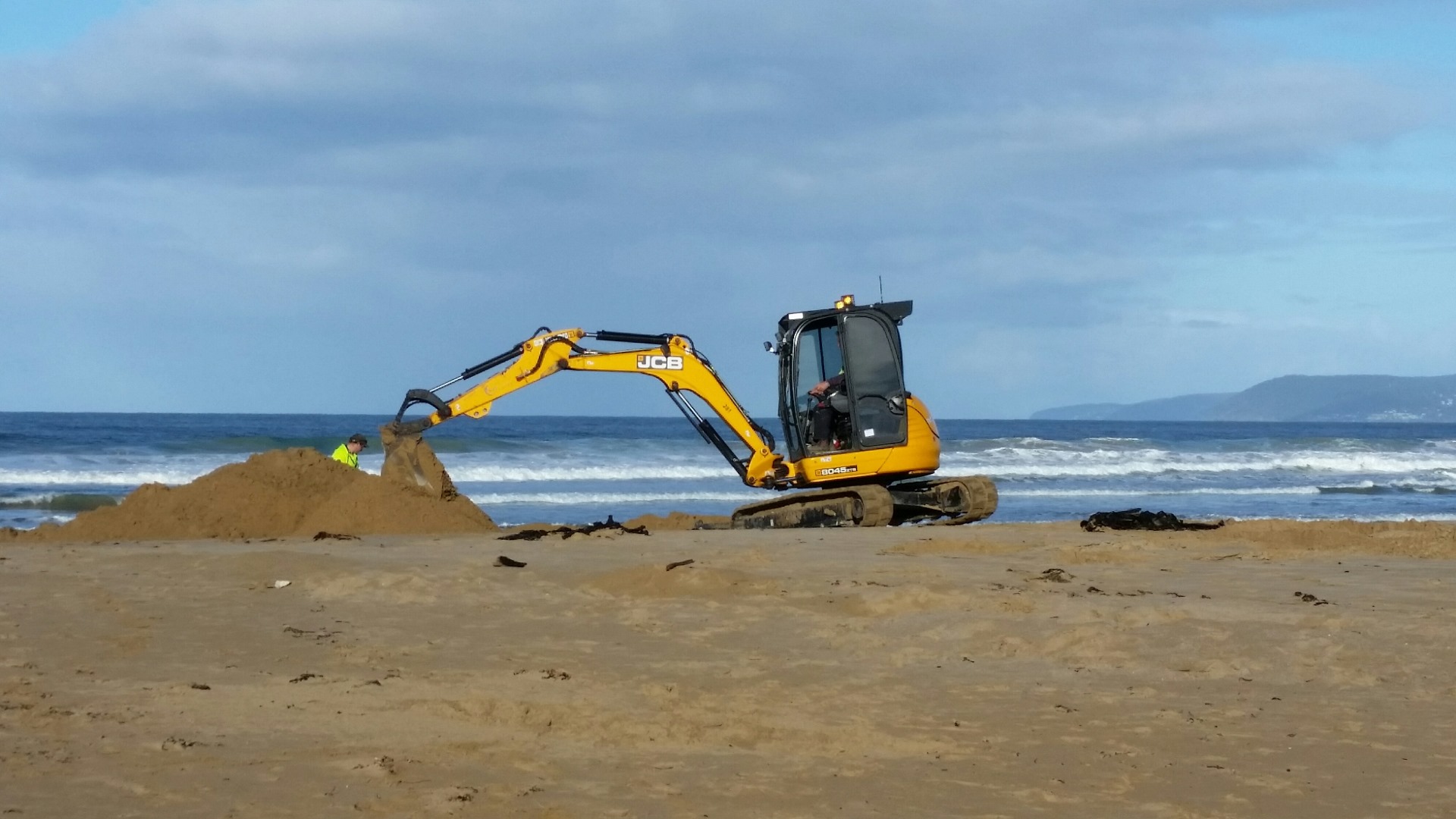 |
|
| 15-07-2017 |
Water level We were unable to do our monitoring as Butler's Bend was underwater. I have taken 3 photos, 1 - taken at 10:30am 15/7/17. The creek mouth was opened around 11:45am., 2 - taken 17:15pm 15/7/17 3 - taken 10:30am 16/7/17. I think it is amazing how quickly the creek dropped in level. Rose Herben   |
|
| 10-06-2017 |
Unusual/Extraordinary occurrence! Coastal Court monitoring platform submerged, so did not attempt to monitor at that site. Jacqui Arnott |
|
| 29-05-2017 |
Unusual/Extraordinary occurrence! High tide 1.9m breaks the berm at Painkalac estuary entrance Leonie Mugavin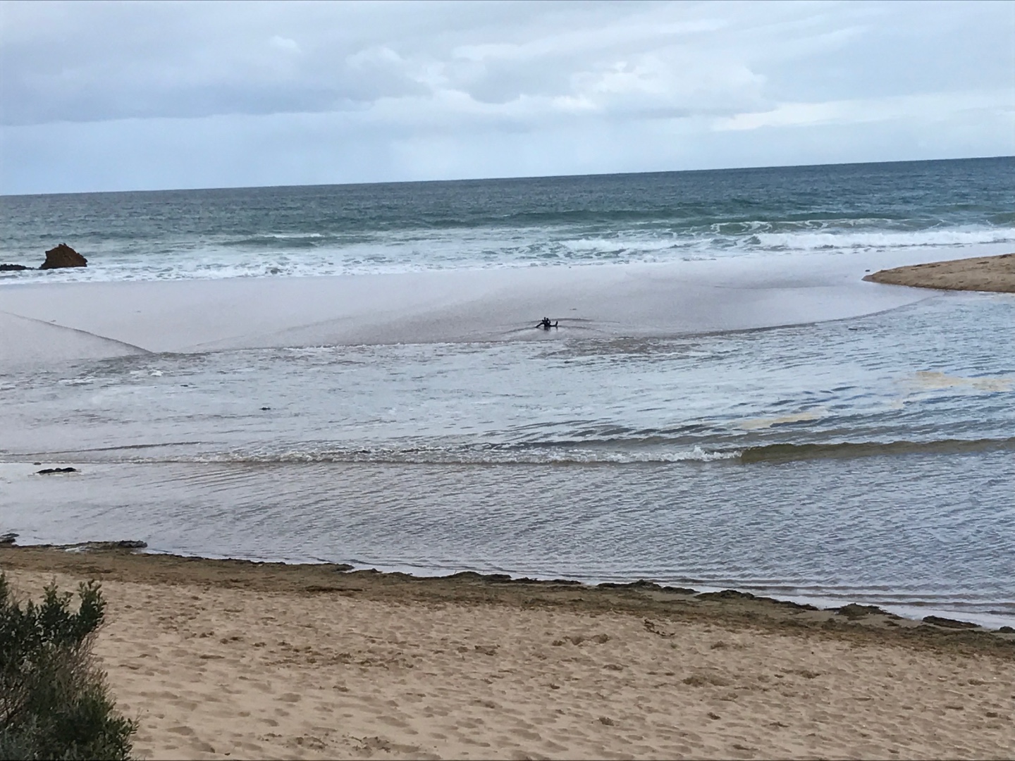 |
|

All content, files, data and images provided by the EstuaryWatch Data Portal and Gallery are subject to a Creative Commons Attribution License
Content is made available to be used in any way, and should always attribute EstuaryWatch and www.estuarywatch.org.au