EstuaryWatch Data Portal
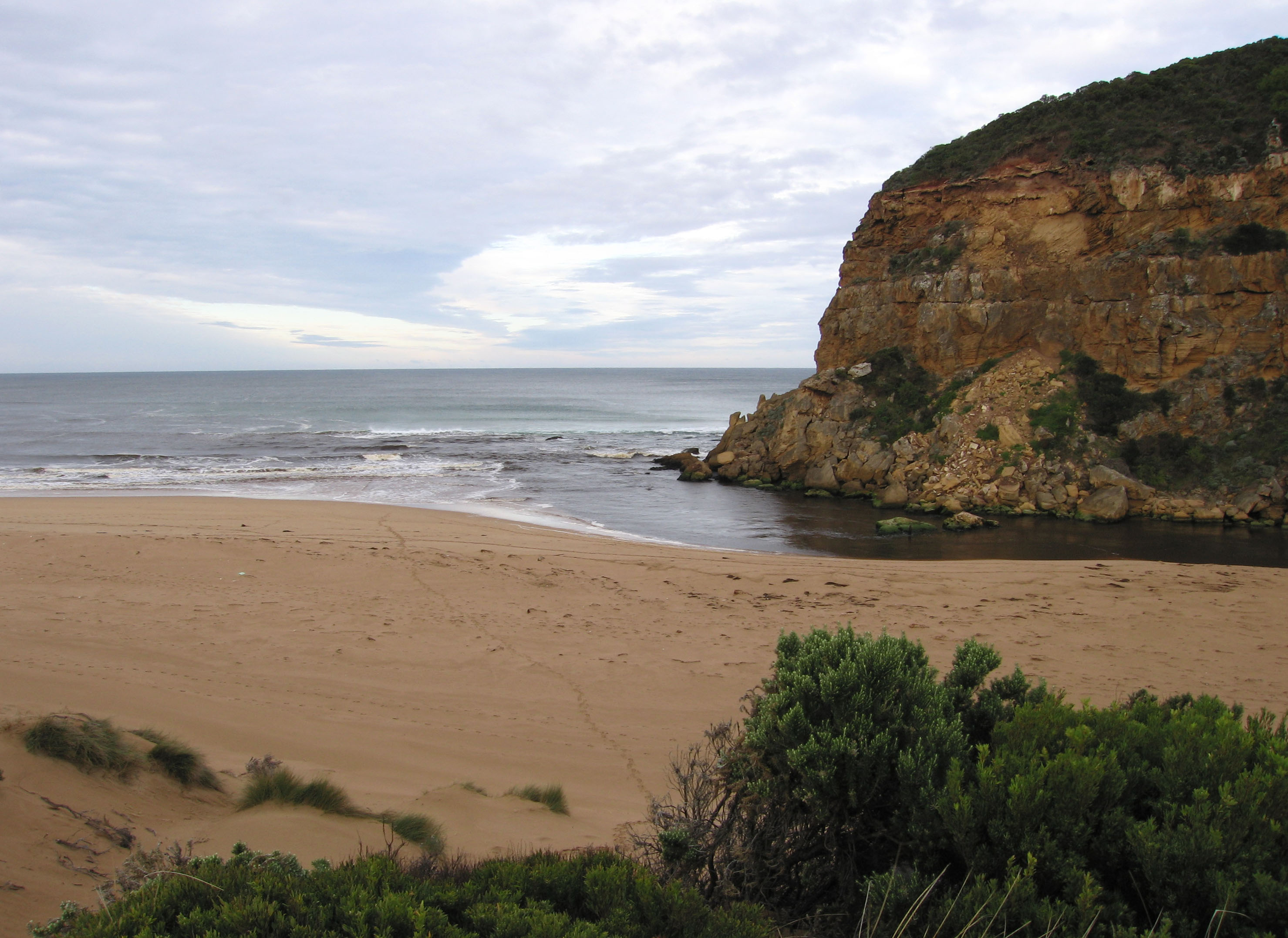
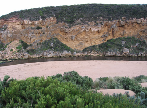
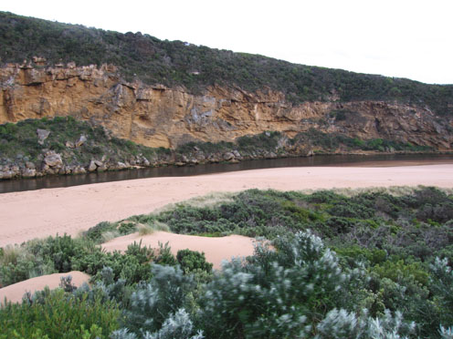
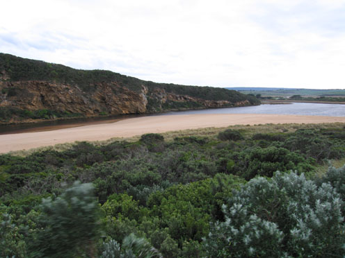
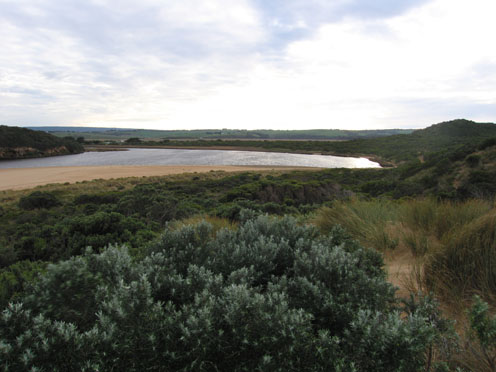
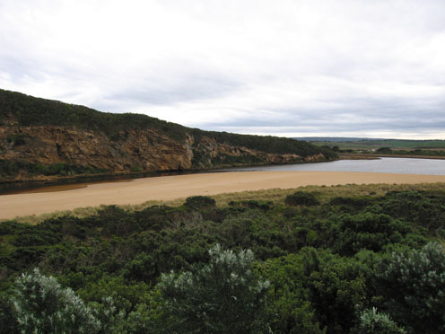
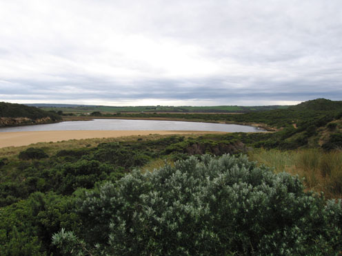
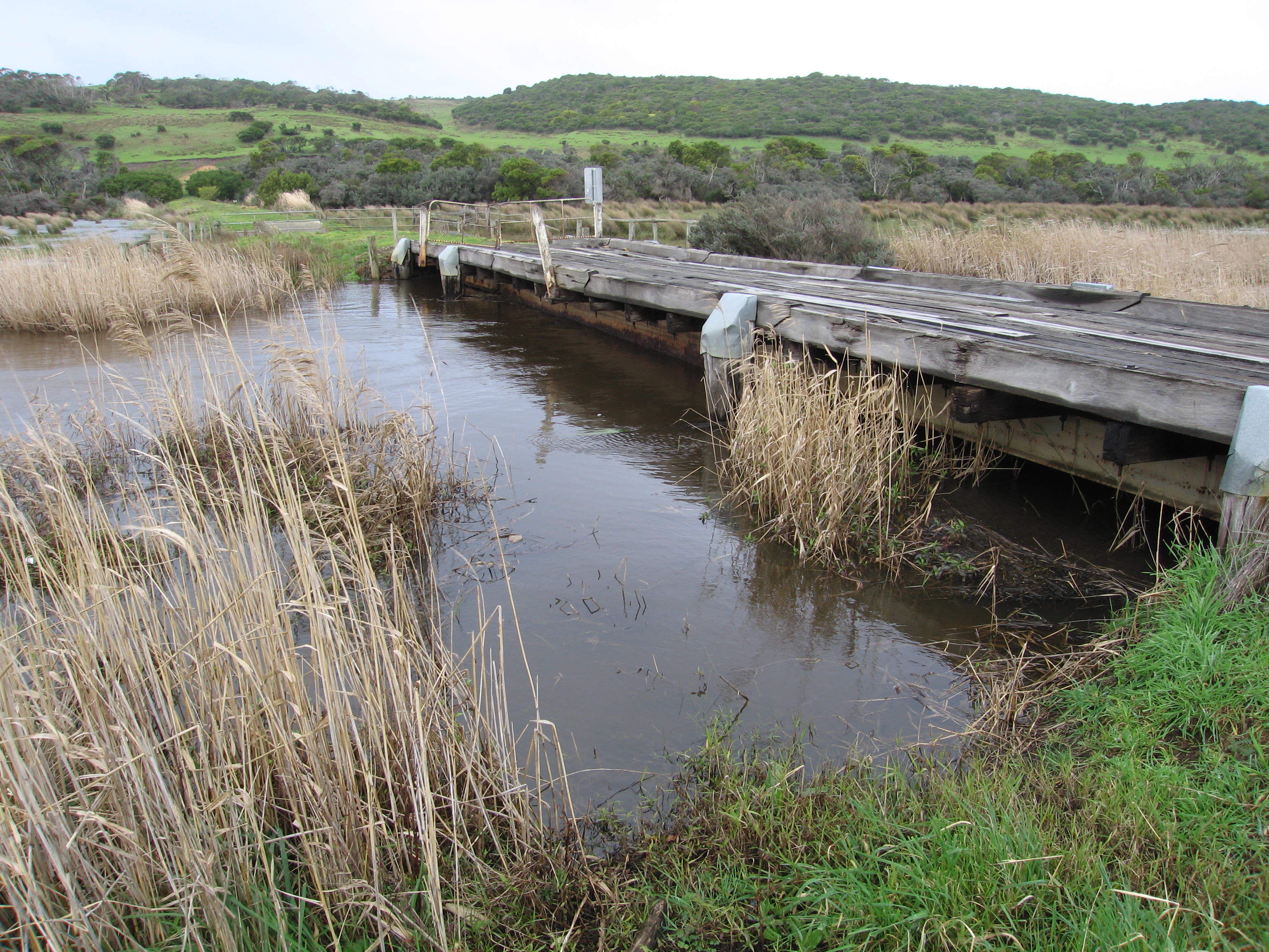
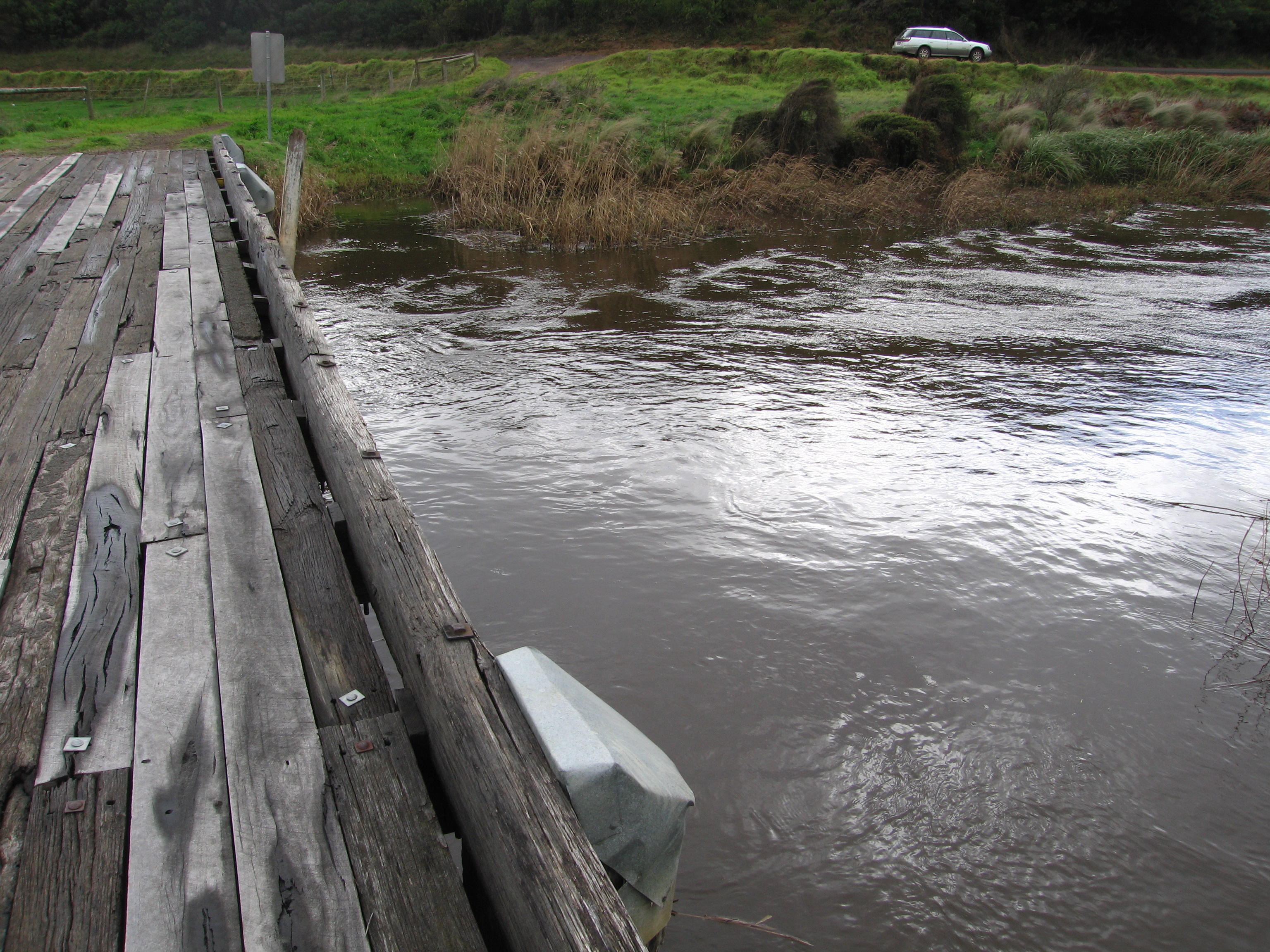
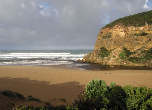
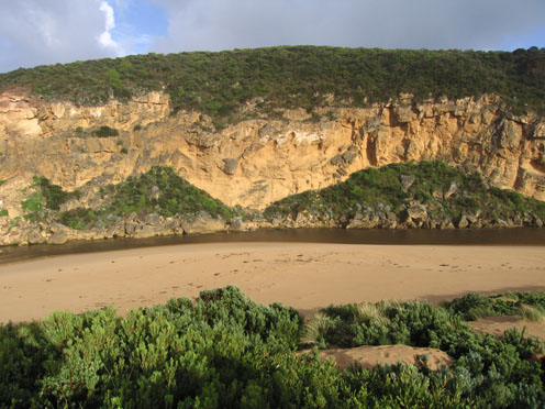
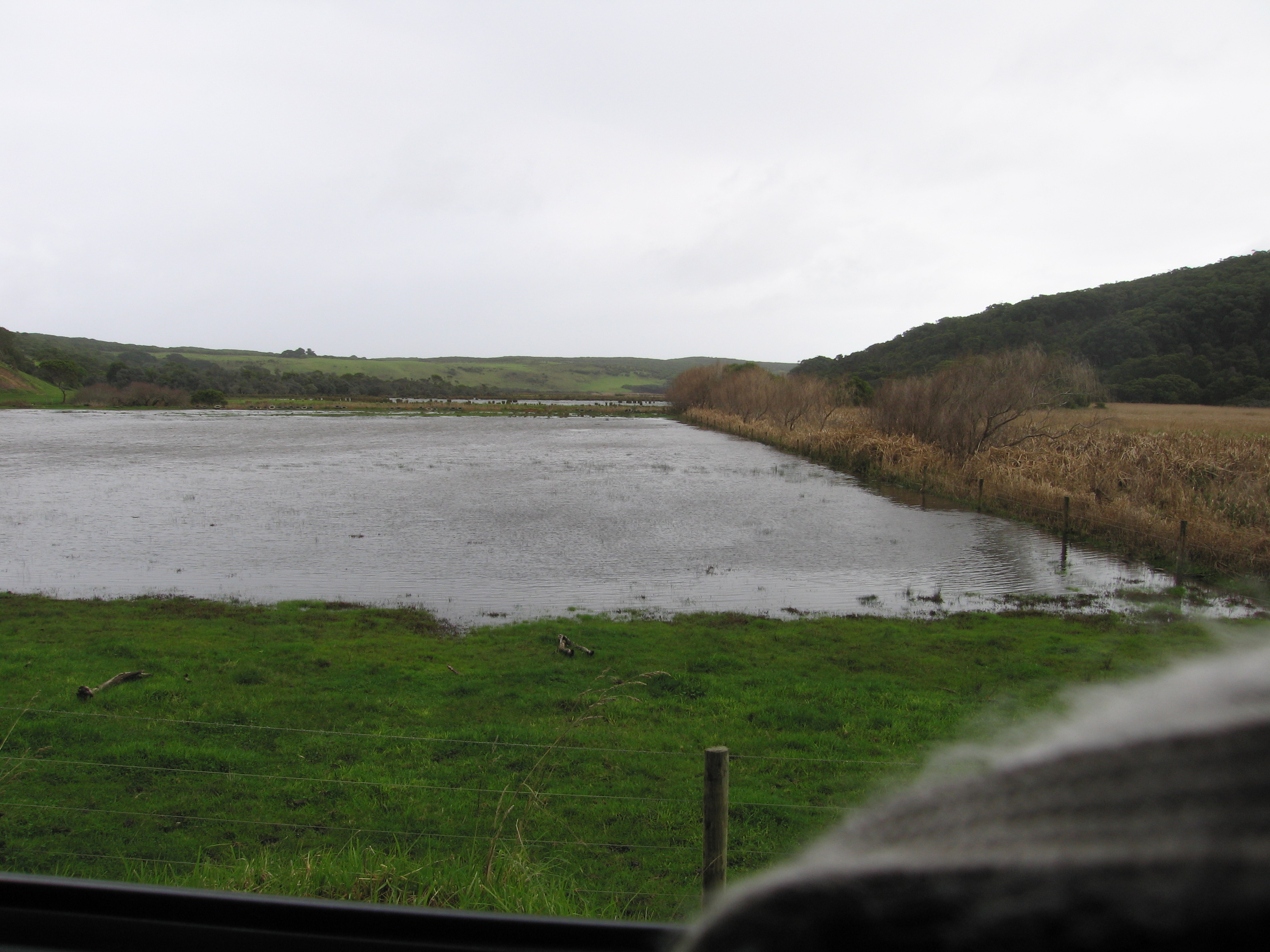
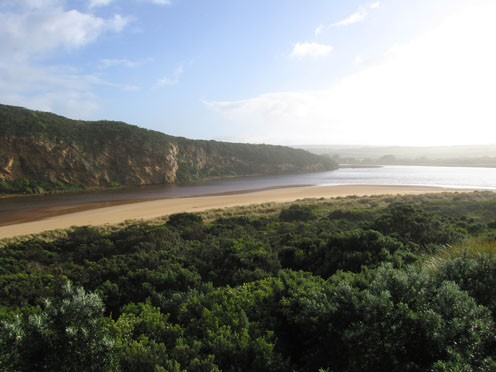
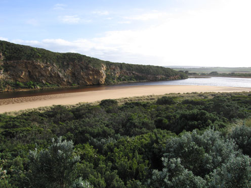
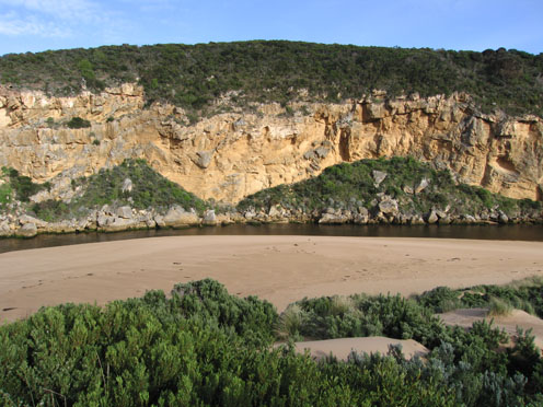
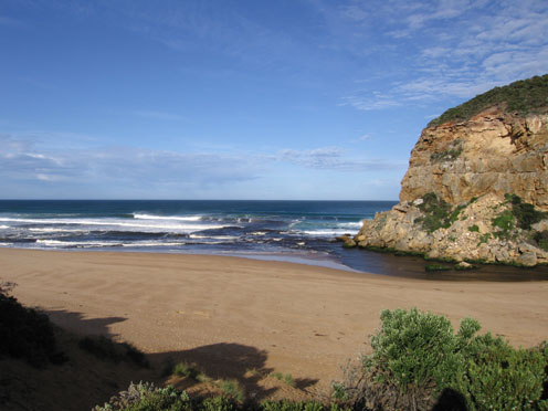
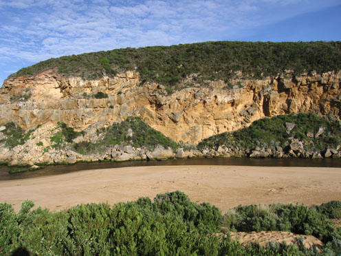
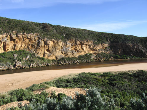
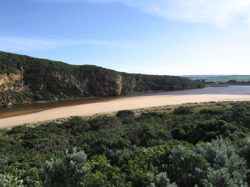
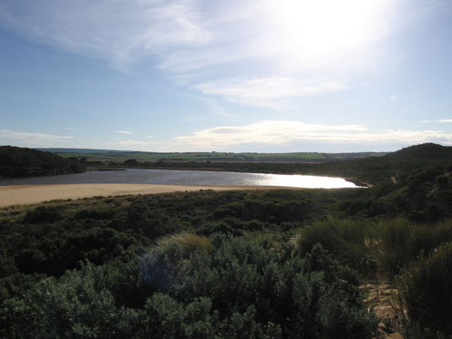
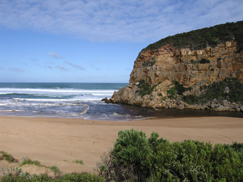
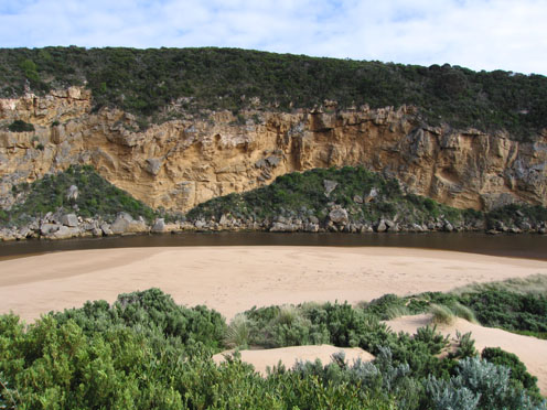
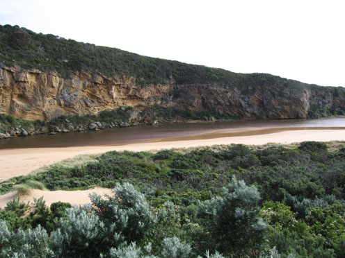
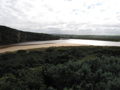
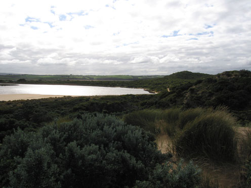
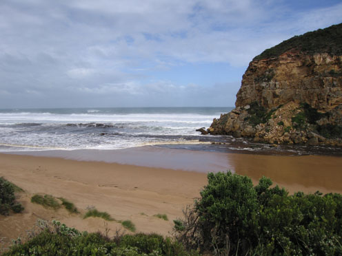
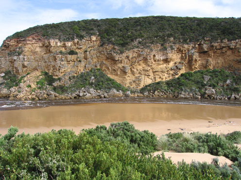
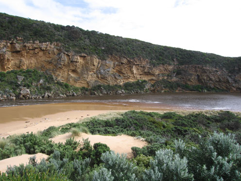
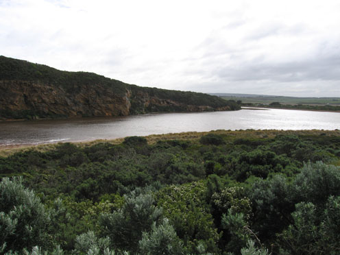
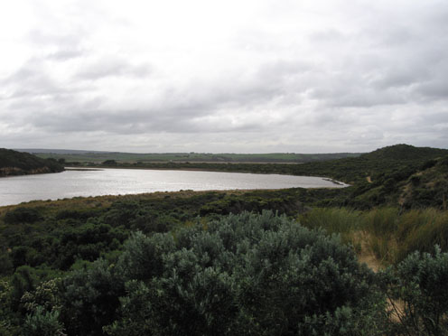
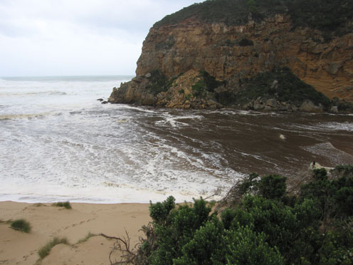
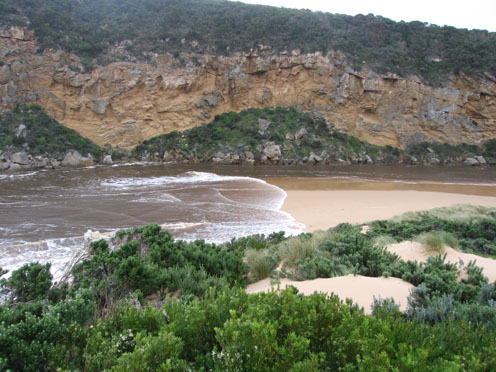
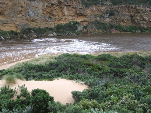
GMC Gellibrand River Estuary Mouth Observation Site
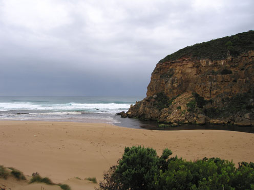
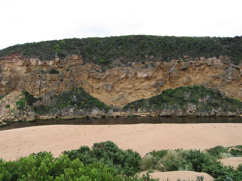
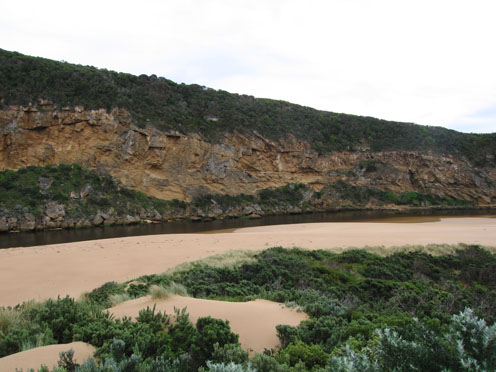
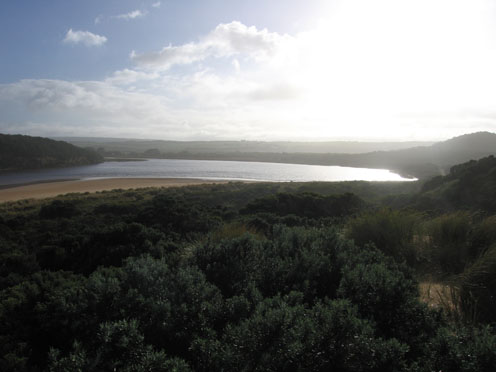
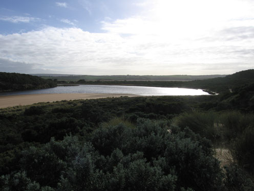
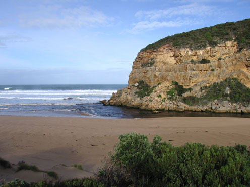
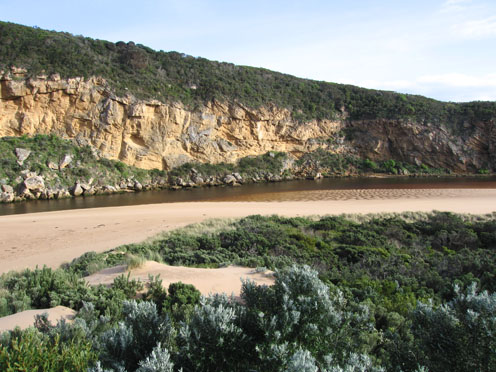
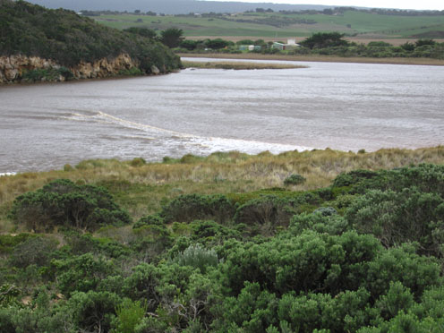
Active Mouth Condition 20-04-2007 - 19-04-2024Gellibrand River Estuary
770 results found (Displaying 121 - 130)
| ID | Date | Status | Details | |
|---|---|---|---|---|
| #2173 | 18 Jul 2009 | Approved |
Notes:
1.Strong flow of very dark water out along beach to east .Much sand at eastern end of beach. 2.Beach has gradual slope down to sea 3.Freezing cold n/w wind. 4.64ml rain at G6 during week-more in catchment 5.Large amount of sand exposed on s-side of estuary 6.Sand build up on east side of mouth projecting into sea 7. 3.spoonbills,1egret, 1pied comorant, male & female musk duck |
|
| #2205 | 25 Jul 2009 | Approved |
Notes:
1.Strong out flow. Dark discharge to east along beach 2.Very large area of exposed sand in estuary,channel at mouth reducing in size 3.Sand being carried from across build up on east side of mouth 4.Sand build up in front of rocks 5.Water going in all directions around mouh 6.Slight in flow along east side of channel 7.2 black shouldered kites, 2 pacific gulls, 3 royal spoonbills, 3 black comorants, 2 pied comorants, 1 musk duck, 1 egret,1 grebe( dark grey and white) 8.Many fox tracks |
|
| #2247 | 1 Aug 2009 | Approved |
Notes:
1. Lots of fox tracks 2.Beach - gradual slope to ocean 3.Out flow - brown discharge travelling along beach to east 4.Sand build up on east side of mouth increasing -channel reduced. Sand higher around rocks 5. waves from east travelling back to river mouth. 6.Waves going in all directions at mouth |
|
| #2261 | 8 Aug 2009 | Approved |
Notes:
1.Dark flow discharging to east along shoreline & around mouth (flow is blocked by sand build up on east side). No flow south 2.Waves in all directions around mouth. Longshore drift from east bringing sand back into channel 3.Sand highest at mid beach 4. Sand build up around rocks increasing. Entrance channel about 7-8m. wide |
|
| #2283 | 15 Aug 2009 | Approved |
Notes:
1. Strong out flow to east along beach but also more around the mouth and travelling at least 50m. out to sea (south) 2.Waves in all directions at mouth with a strong current out on east side of rocks. Sand build up on east side increasing. 3.Chanel at mouth about 8m. Upstream of rocks about 10m 4. Beach similar to last week but tide further out |
|
| #2341 | 22 Aug 2009 | Approved |
Notes:
1. Strong dark discharge (outflow) to the east. 2.Waves going in all directions at mouth. Longshore drift from east |
|
| #2342 | 23 Aug 2009 | Approved |
Notes:
1.Flow mainly out but waves entering and travelling on east side of channel into estuary. 2.Strong north wind raising waves (10cm+) in estuary 3.Brown discharge out flow close to shoreline travelling east 4.Waves going in all directions at mouth, longshore drift from east bringing sand into channel and around rocks 5.Sand visiable in breakers 50-80m out to sea 6.Waves covering sand (11.45am)-only about 10m. of sand exposed near sand dunes opposite tunnel |
|
| #2404 | 25 Aug 2009 | Approved | ||
| #2405 | 26 Aug 2009 | Approved |
Notes:
1.extreme winds and huge seas flattening out in wind.Sand blowing off dunes.Waves and foam everywhere,waves from east (scouring out rocks)travelling along beach (up to the dunes) and crossing channel, breaking on west cliff. 2.Waves travelling down channel well into estuary 3.Fishing platform (G2.)has water up to top rail, picnic area flooded.Low track flooded 4.Whole valley flooded. Water up to deck at G4. AHD at G6-3.46 at 14:13. Water over O.O.R between Kangaroobie and G.O.R. (bitten near that area) 5. No photo taken from photopoint -conditions too dangerous |
|
| #2406 | 27 Aug 2009 | Approved |
Notes:
1.Strong outflow, flood water +salt return.Strong wave surge along east side of channel turning east with up to1.m waves washing up well into sand dunes at s/e corner of estuary 2. Foam everywhere-waves to foot of dunes(beach) and turning down and around the channel to east 3.Rocks exposed at east end of beach. Longshore drift travelling along beach and around dunes into estuary - past tunnel 4. water over top track to beach. 5. Not a lot of change since 26.8.09 but AHD at G6 is 3.30 at 12:15. Extensive flooding upstream 6. Only 4 photo's used these follow the wave progress (change of scale ) |
|

All content, files, data and images provided by the EstuaryWatch Data Portal and Gallery are subject to a Creative Commons Attribution License
Content is made available to be used in any way, and should always attribute EstuaryWatch and www.estuarywatch.org.au