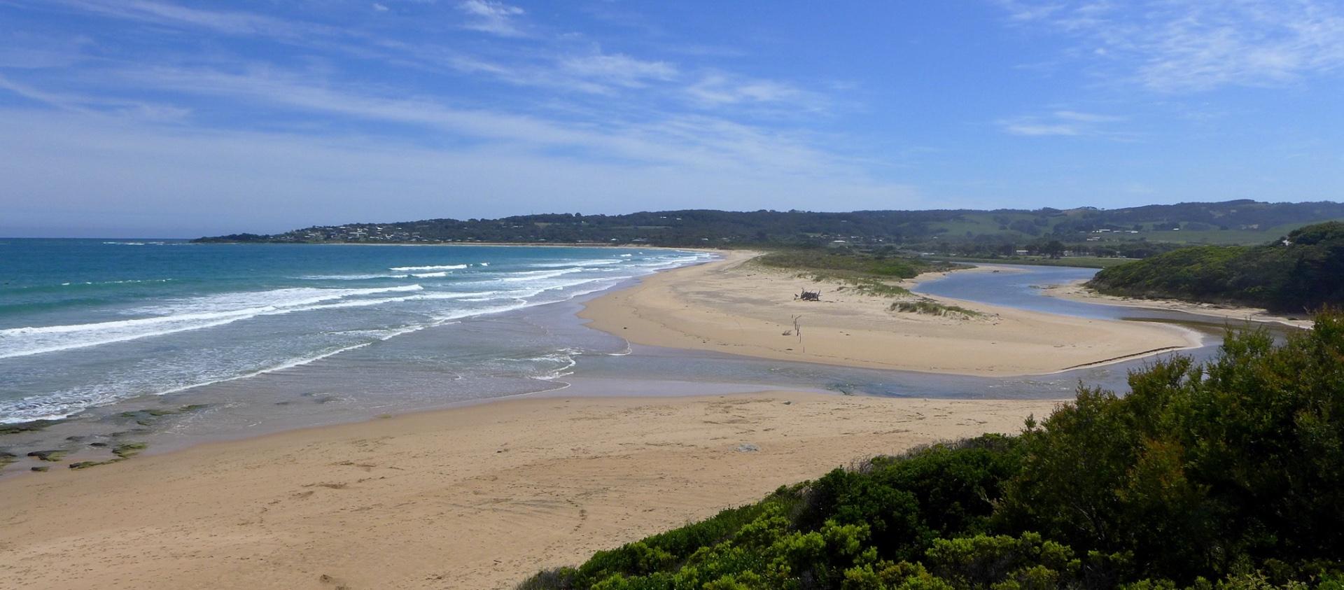
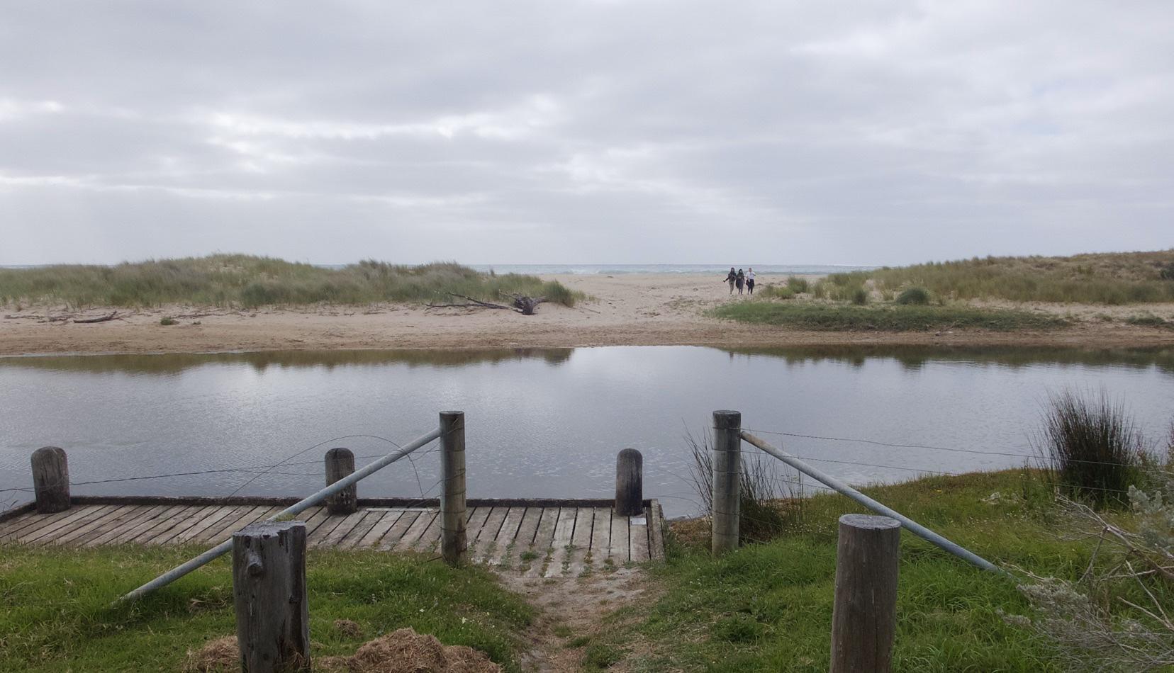
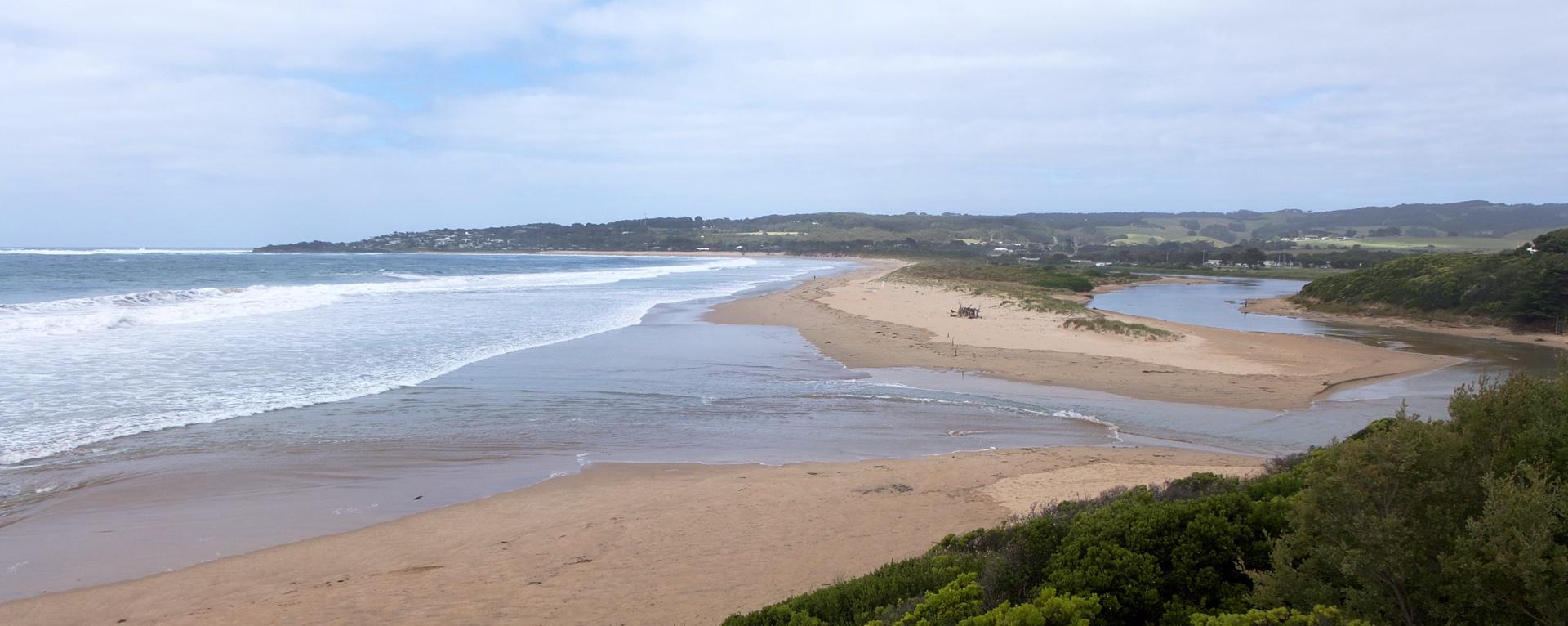
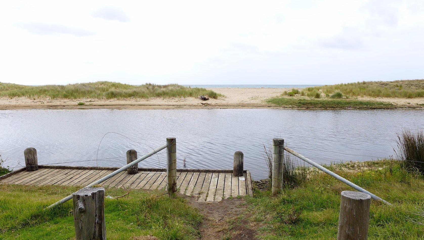
EstuaryWatch Data Portal
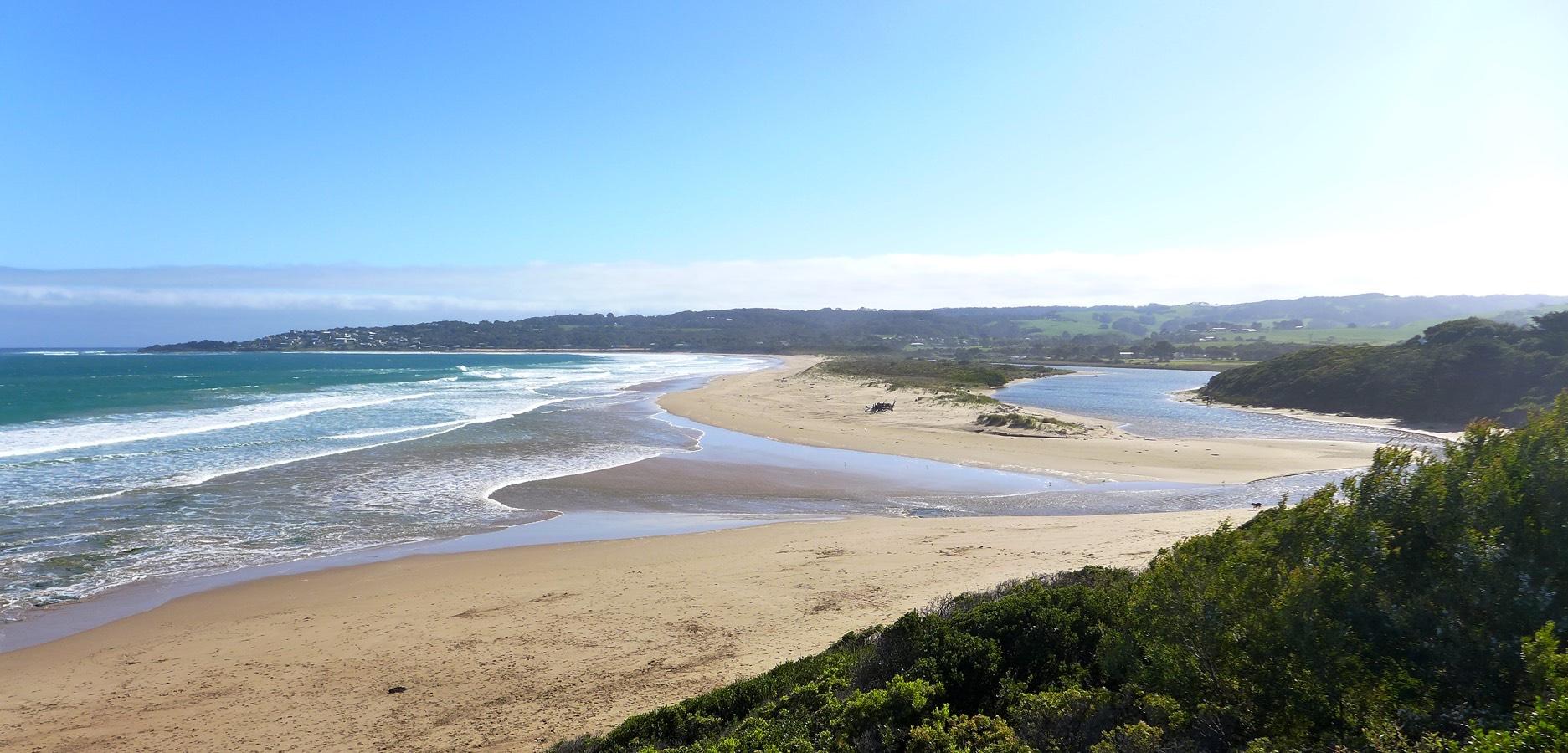
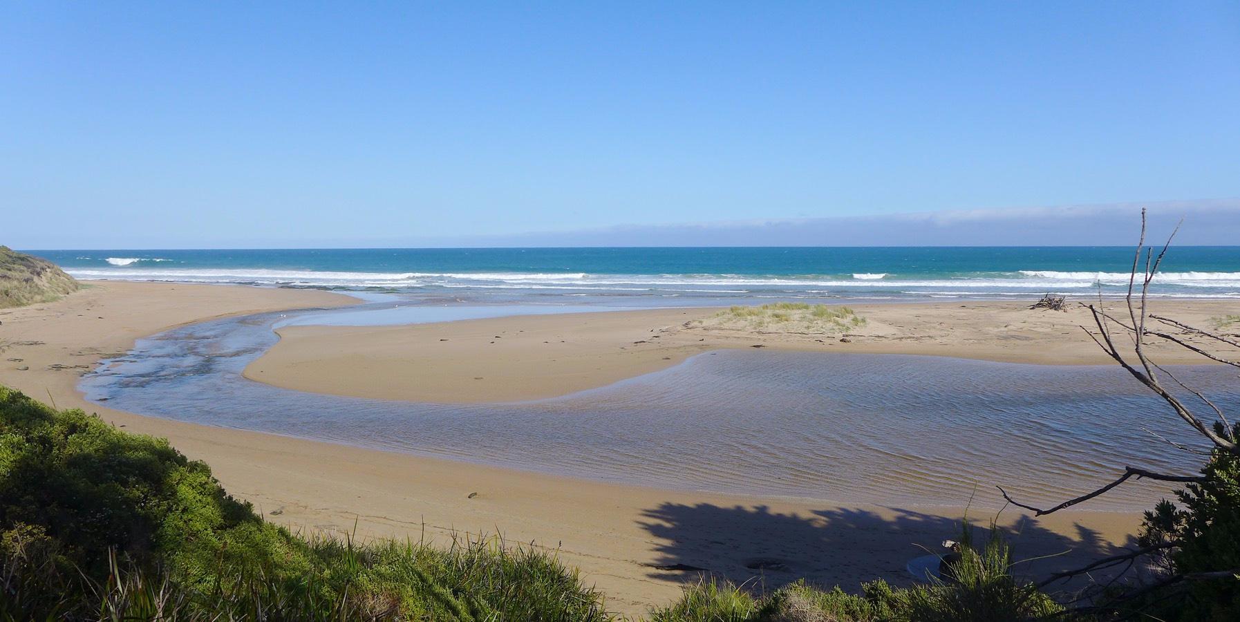
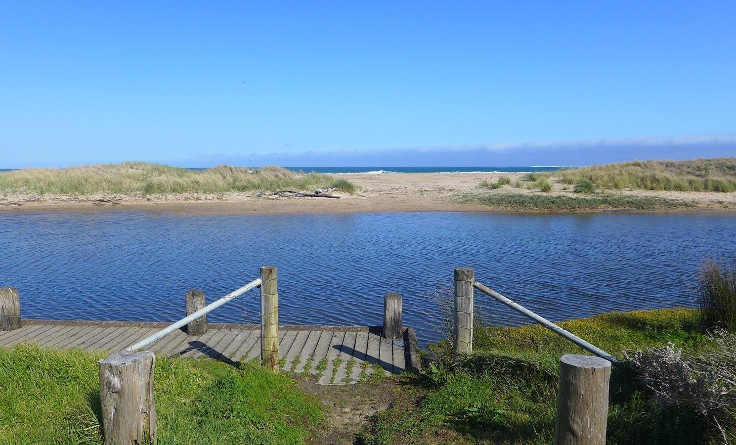
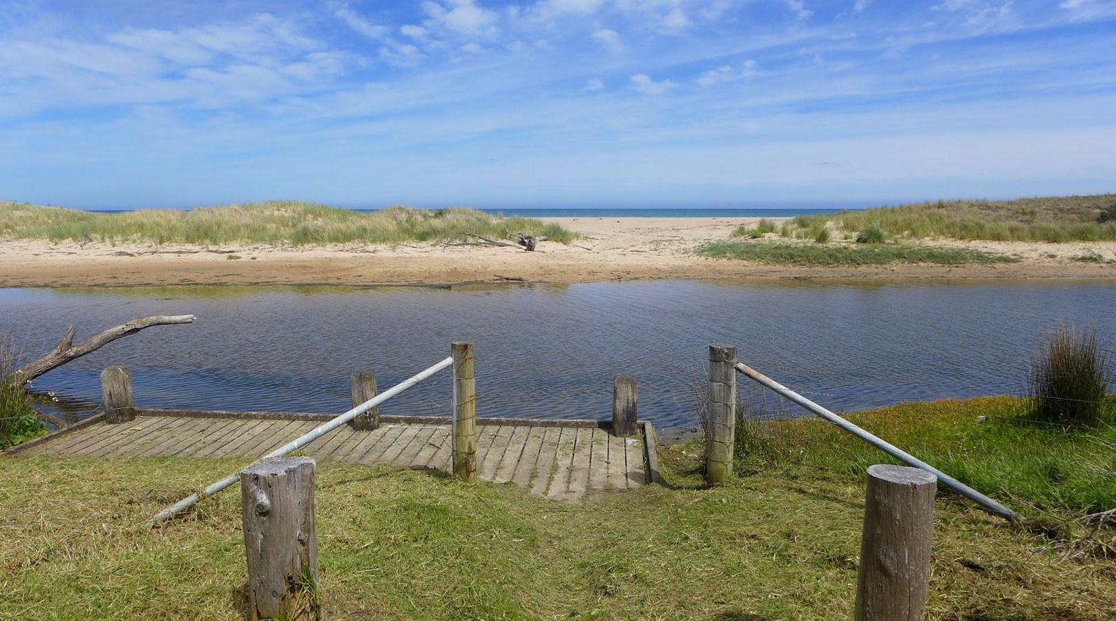
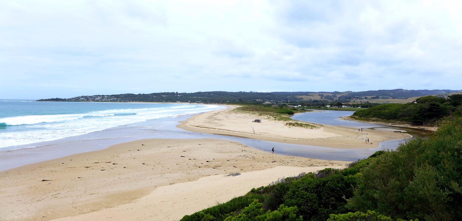
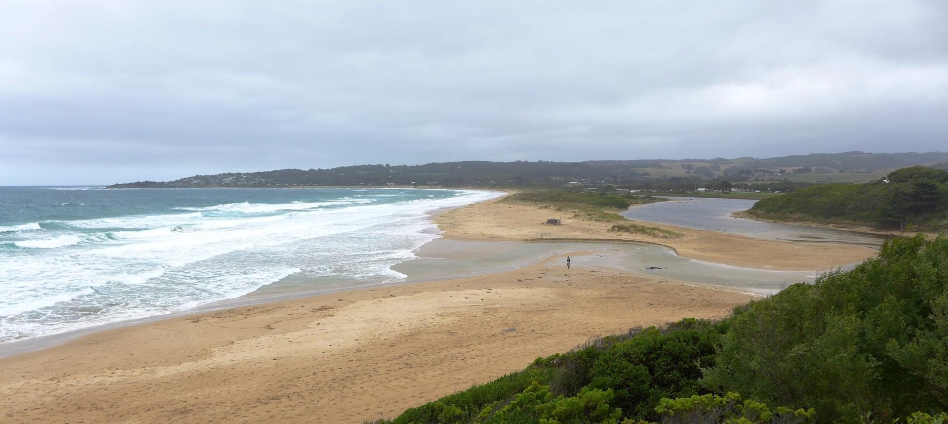
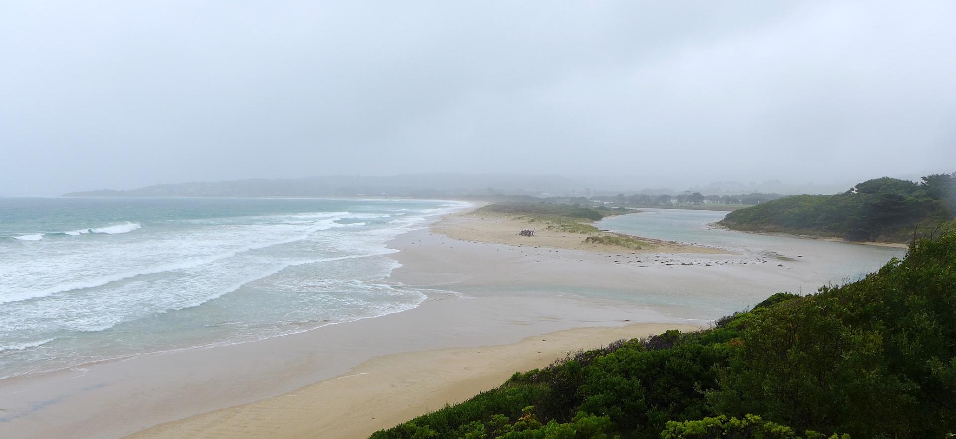
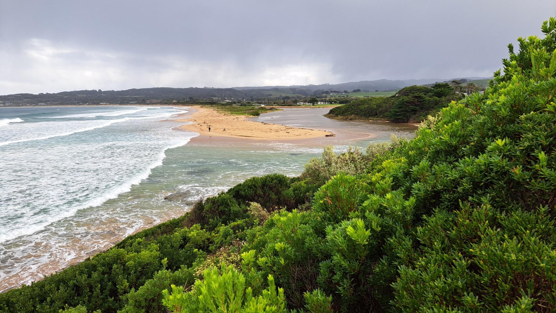
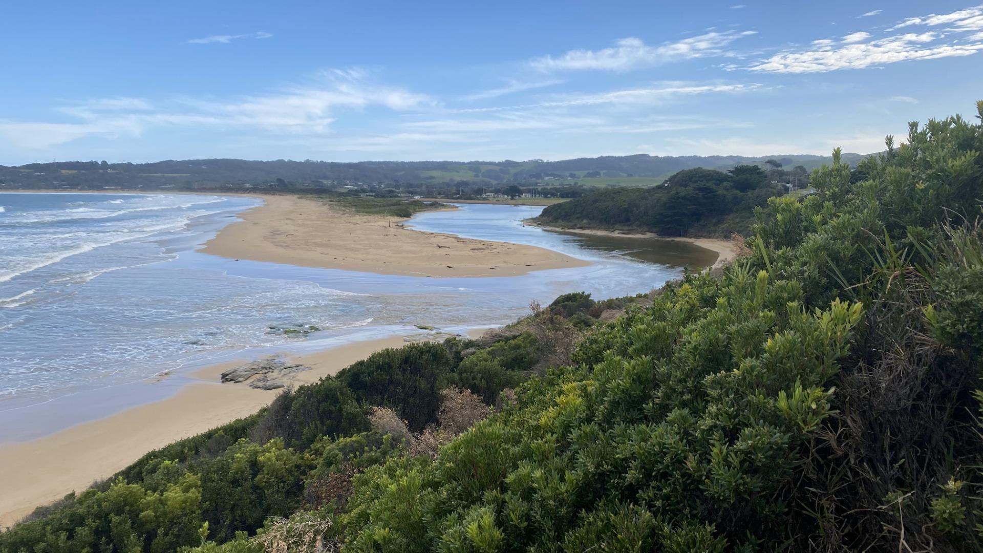
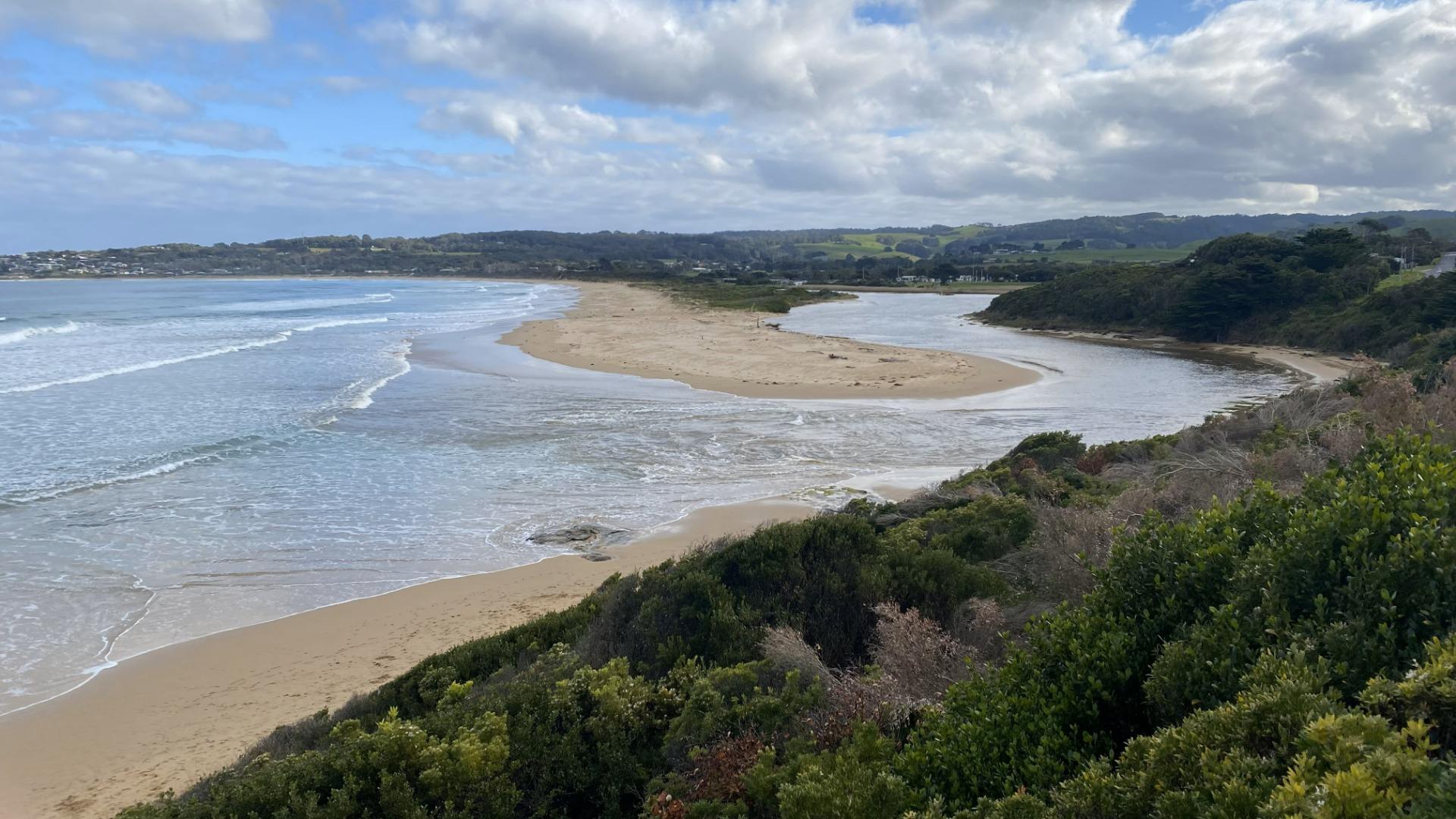
BmMC Barham River Observation Site
Active Mouth Condition 23-05-2008 - 19-04-2024Barham River Estuary
| ID | Date | Status | Details | |
|---|---|---|---|---|
| #13372 | 21 Oct 2019 | Approved |
Notes:
Rainfall past 48 hrs = 0.8 mm; Atm. press. = 1030 hPa. River level observed to be slowly dropping after recent rains. |
|
| #13413 | 18 Nov 2019 | Approved |
Notes:
Rainfall past 48 hrs = 0.8 mm; Atm. Press = 1015 hPa Tidal influence would have been greater at 04:18 hrs when the predicted tide height was 2.03 m. |
|
| #13469 | 22 Dec 2019 | Approved |
Notes:
No rain past 48 hrs; Atm press = 1024 hPa. |
|
| #13544 | 24 Jan 2020 | Approved |
Notes:
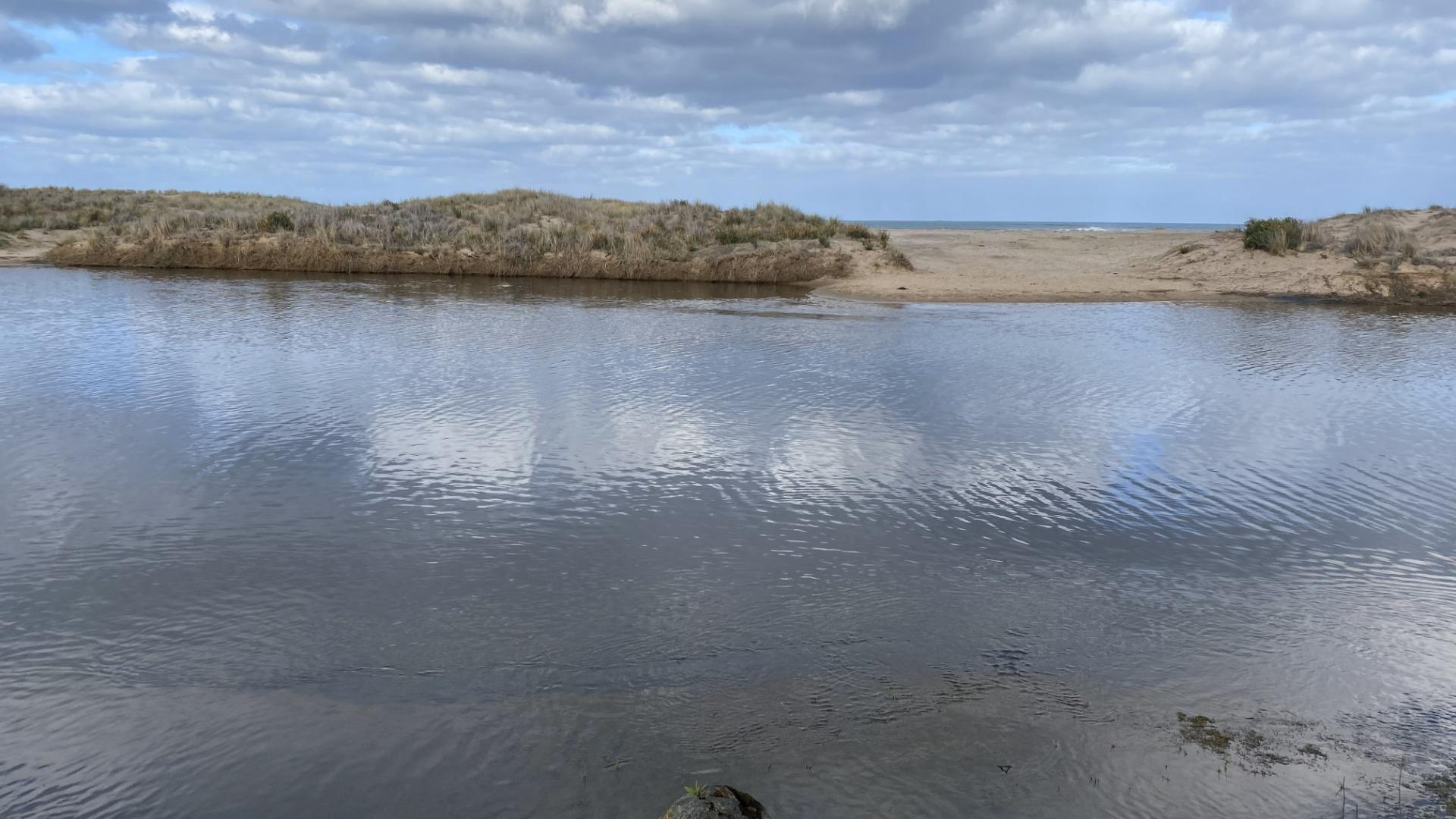
Rain past 48 hrs = 14.6 mm; Atm. Press = 1009 hPa. River mouth has moved Southwards. Although no tidal influence was observed, dark water stains on the estuary bank indicated that there was tidal intrusion during the 1.8 m high tide of the previous night. |
|
| #13574 | 15 Feb 2020 | Approved |
Notes:
Rain past 48 hrs = 1.4 mm; Atm. Press. = 1012 hPa Mouth opening continues to shift south. |
|
| #13610 | 13 Mar 2020 | Approved |
Notes:
Rain last 48 hrs = 0 mm; Atmos. pressure = 1011 hPa. Rained continuously during monitoring period! Heavy wind and wave surges pushed water across the berm opposite the BmP2 observation site. These inflows temporarily raised the estuary water level by up to 2 cm. |
|
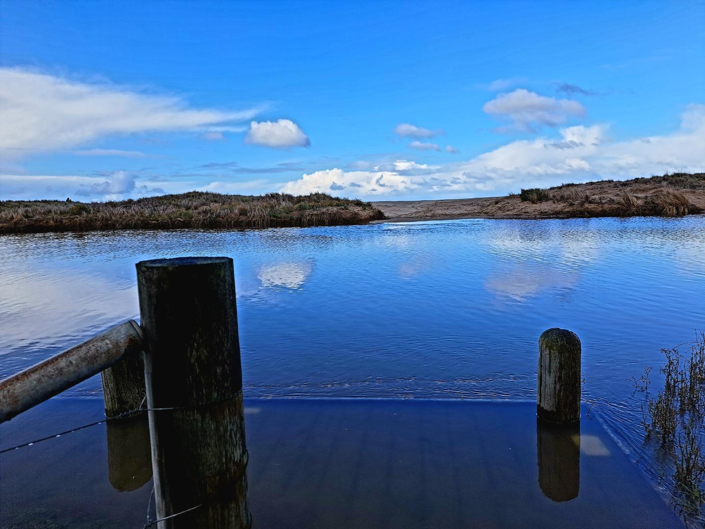
| #15591 | 19 Jun 2023 | Approved |
Notes:
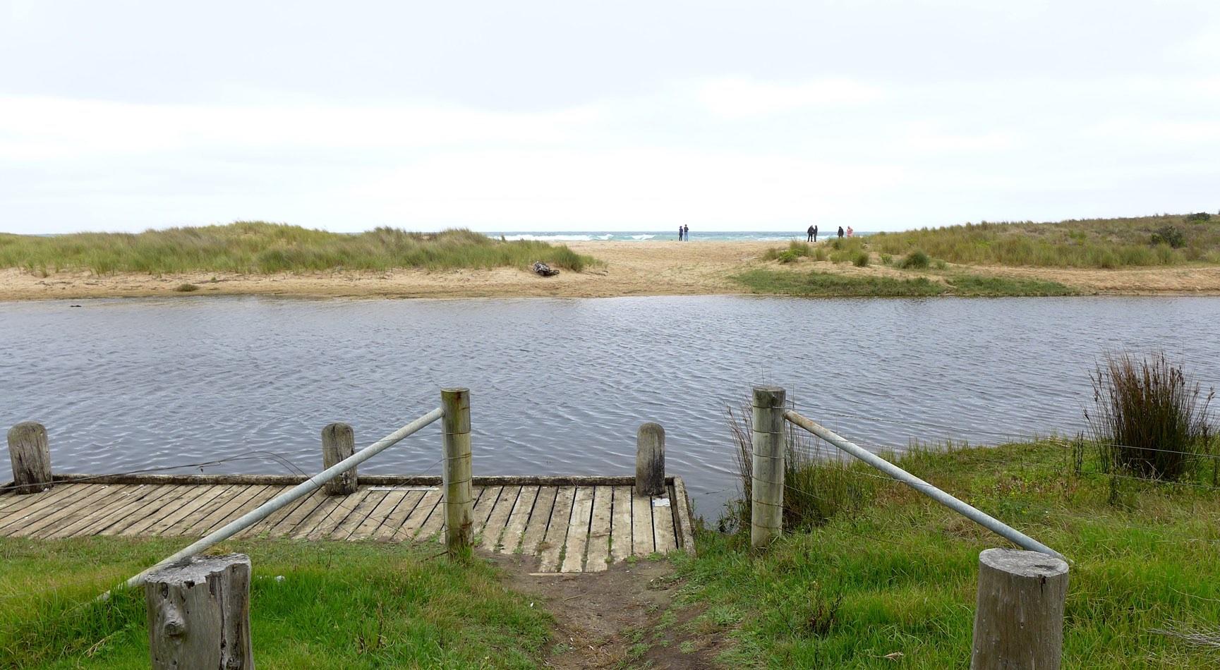
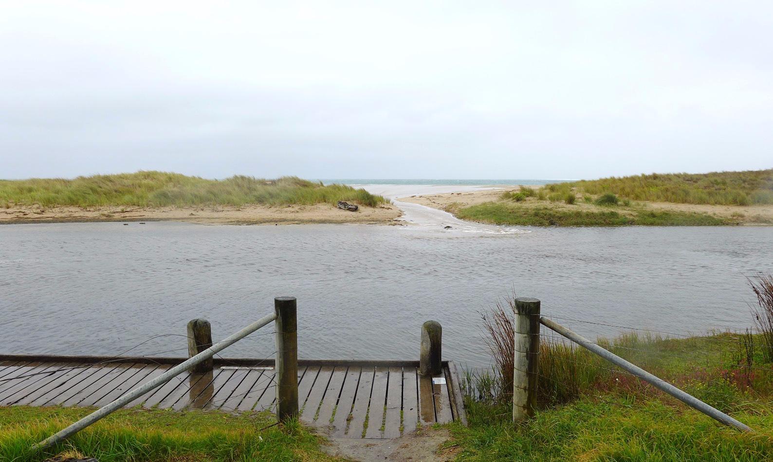
At Bmp2 the platform was under water. Mode for wind and sea state was not assessed as conditions have been highly variable over the last 2 weeks. This was a training session.One wide angle 16:9 Bmp3 photo taken to replace two 4:3 images Water level assessment reading river height gauges could not be completed because of over-growing vegetation. |
|
| #15665 | 19 Jul 2023 | Pending |
|
|
| #15669 | 19 Jul 2023 | Pending |
Notes:
Unable to access water level markers due to overgrown tree Unable to complete Mode for physical condition - very variable over last 2 weeks from completely still and calm to some days of very strong winds |
|
| #15720 | 20 Aug 2023 | Pending |
Notes:
Unable to measure water levels due to overgrown tress on riverbank.
We will be away for next watch but will do an assessment around 21 October when we are back |
|

All content, files, data and images provided by the EstuaryWatch Data Portal and Gallery are subject to a Creative Commons Attribution License
Content is made available to be used in any way, and should always attribute EstuaryWatch and www.estuarywatch.org.au