EstuaryWatch Data Portal
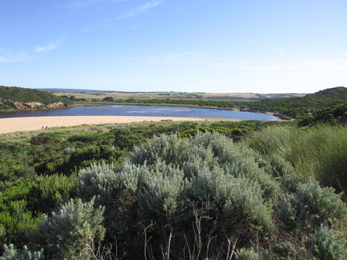
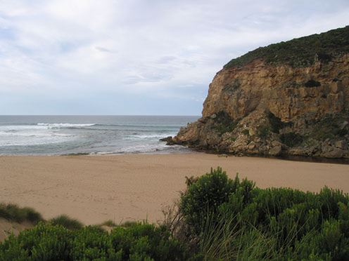
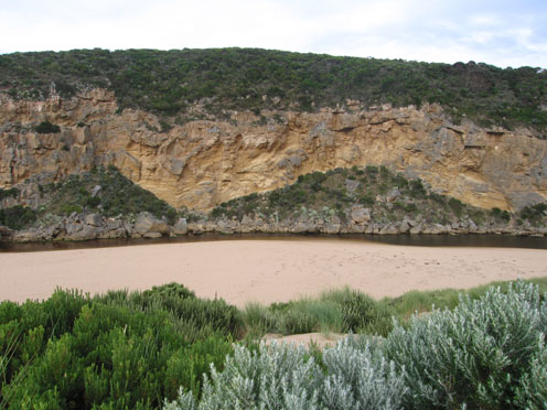
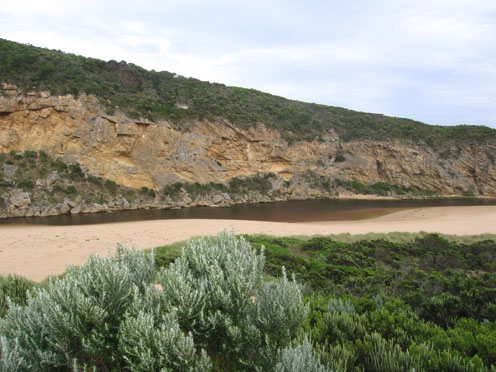
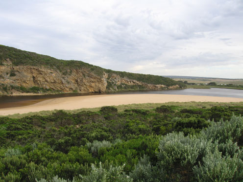
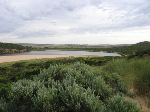
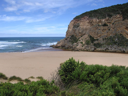
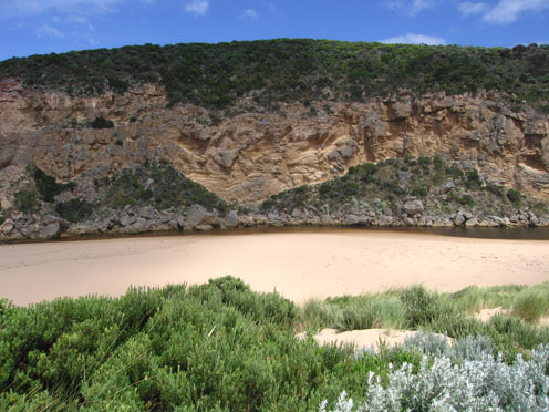
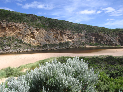
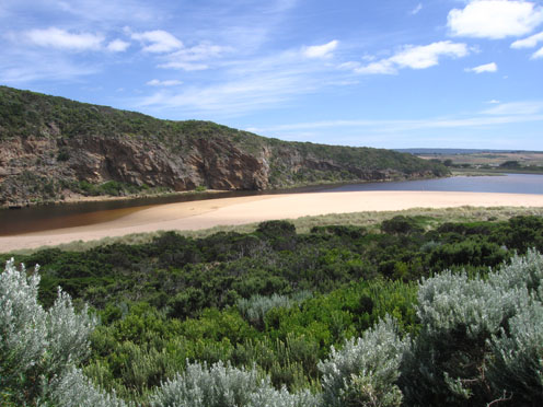
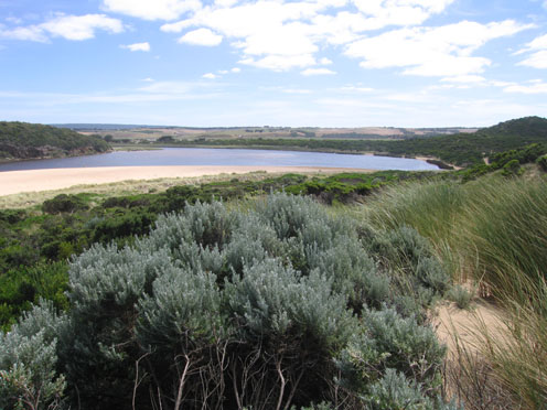
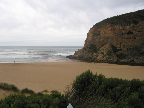
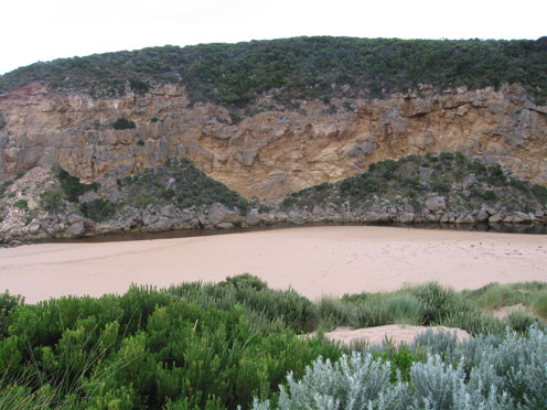
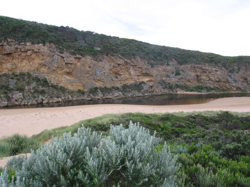
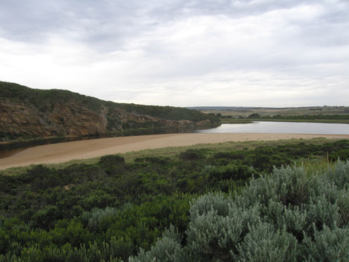
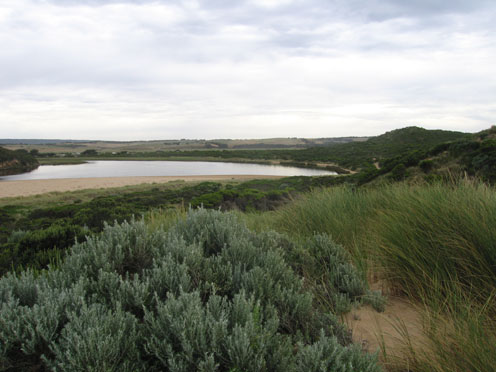
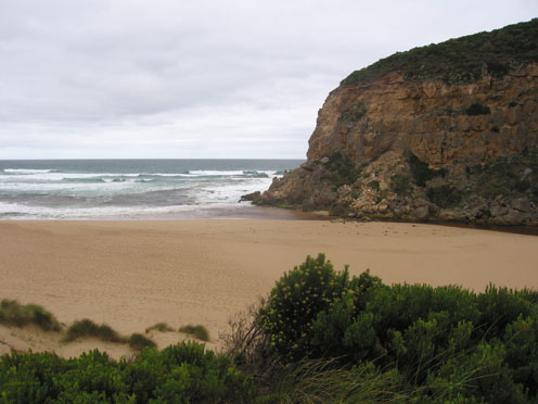
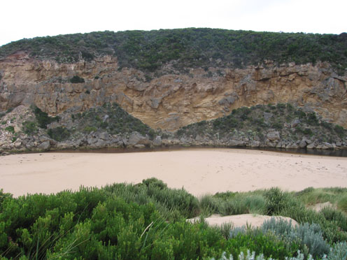
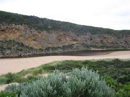
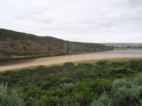
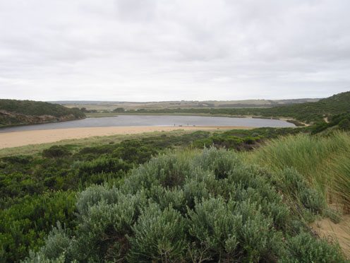
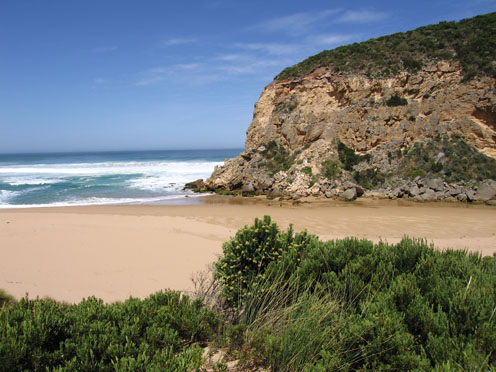
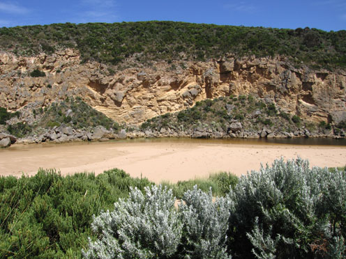
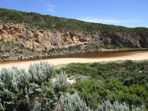
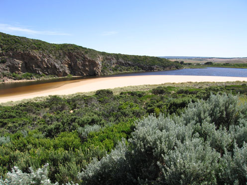
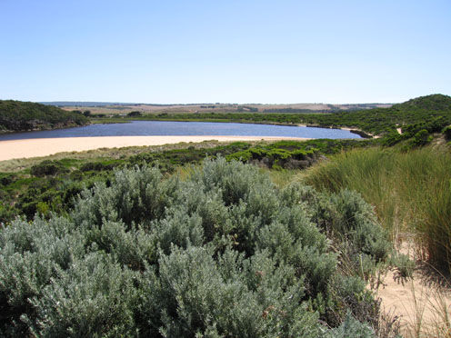
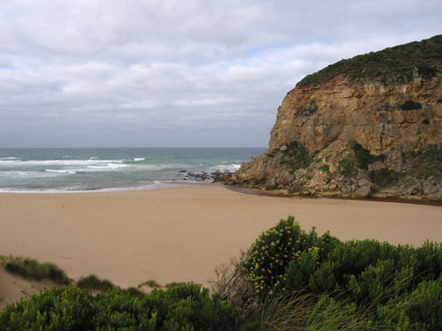
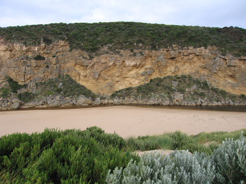
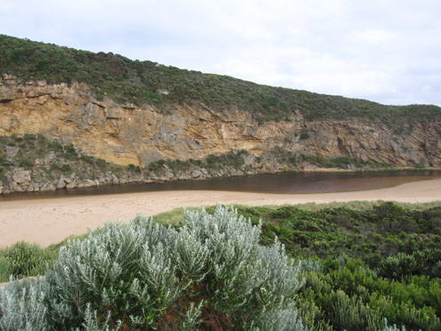
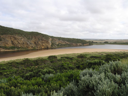
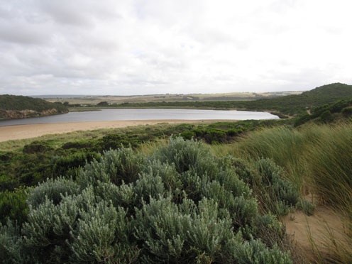
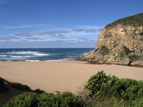
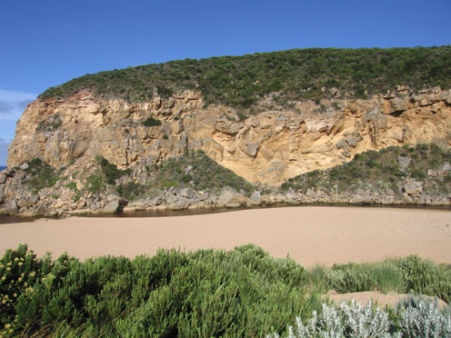
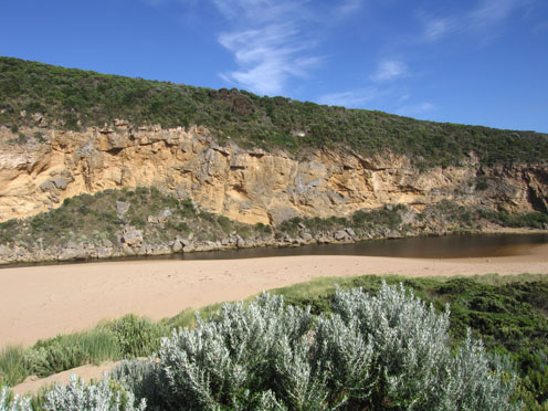
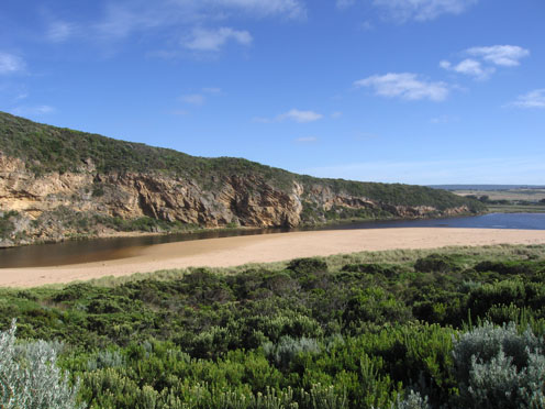
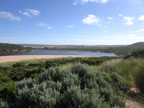
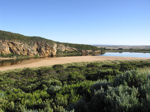
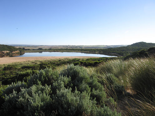
GMC Gellibrand River Estuary Mouth Observation Site
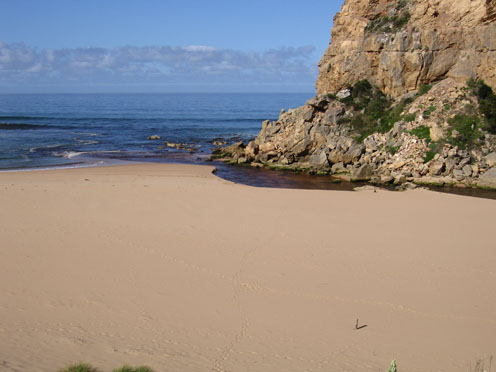
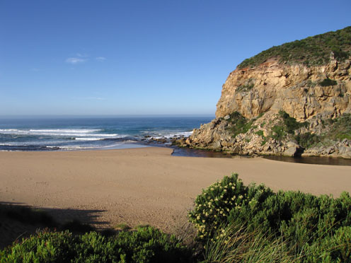
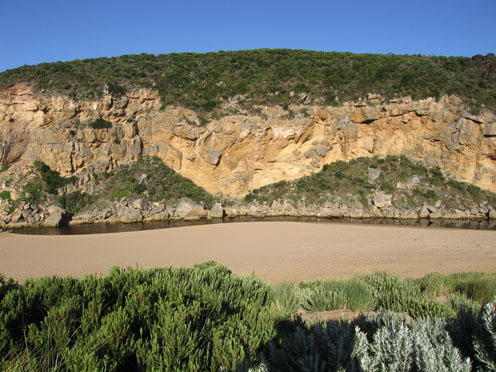
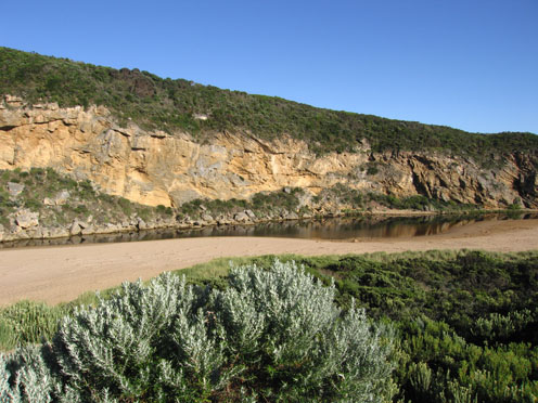
Active Mouth Condition 20-04-2007 - 19-04-2024Gellibrand River Estuary
770 results found (Displaying 151 - 160)
| ID | Date | Status | Details | |
|---|---|---|---|---|
| #3003 | 8 Jan 2010 | Approved |
Notes:
1.Weak shallow outflow over raised sand at entrance (possible to walk across). Slight discolouration immediately around mouth. 2.Channel 4m. wide and shallow upstream from rocks to about 1/3 way to Tunnel. 4. Steep front to beach with rocks exposed at eastern end 5. Water low in estuary with sand bars starting to show. Algae/scum forming along seagrass beds.(also more at edge of river -G2 ) |
|
| #3024 | 12 Jan 2010 | Approved |
Notes:
1. slight outflow discharge (pale) around mouth.Some small waves entering the channel and travelling into estuary 2.Sand is building up at entrance and around cliff below recent fall.Steep front to beach |
|
| #3041 | 15 Jan 2010 | Approved |
Notes:
1.Very pale shallow discharge flowing out over sand build up at mouth (sand extends along channel from mouth to about 1/2 way to tunnel & has increased from last week) 2. Discharge only immediately around mouth. Some waves entering mouth and travelling into estuary 3.Steep front to beach and rocks at eastern end exposed 4.Strong south wind has cleared algae/scum from s/e side and taken it downstream. There is still a lot floating below the surface throughout the estuary and upstream 5.Estuary perch around 25cm are being caught in estuary (possibly due to extremely low water levels upstream) also Bream (30cm) and Trevally. Not as many mullet and most fish are small in size. There are a large no. of juvenille fish in the sea grass and all along the edge of the estuary and channel |
|
| #3061 | 22 Jan 2010 | Approved |
Notes:
1.Rainfall ( G60 = 14.5 ml/ 16th.&17th) possibly more in catchment, has improved flow slightly. 2.Shallow flow out over sand at mouth, discharge around mouth and slightly south. Small fish entering estuary. Large no. small fish all around estuary and in sea grass beds Steep front to beach. 3.Very still day. Algae forming in river and estuary. Patches about 10-20cm floating below surface. Green line forming along edge up to tunnel. 'Skin' forming on still water. 4.Hooded plover on beach (4) also observed on 20th. Huge no of swallows. possibly some Tree martins as well 5.Phragmities increasing on south side of estuary 6.Dead penguin on beach (20.01.10) |
|
| #3107 | 29 Jan 2010 | Approved |
Notes:
1. Very shallow outflow over wide area infront of rocks. Pale discharge only around mouth. 2.Considerable amount of sand immediately below cliffs,longshore drift bringing more sand into channel. Waves in all directions at mouth. 3.Sand building up in channel between rocks and tunnel. 4.Evidence of high tide (seaweed etc.) high on sand all around estuary and channel 5. Water in estuary clear - with lots of small fish in shallow area s/e side ( cold south wind & overcast) 6. Steep front to beach. Rocks exposed at east end. |
|
| #3141 | 3 Feb 2010 | Approved |
Notes:
1. Waves crossing sand bar at entrance and entering estuary then returning. No discharge colour around mouth, any water in pools around rocks is clear green. Sand visiable in breakers out to sea 2. Salt /fresh divide visiable about 1/3 from rocks to tunnel 3.Waves have been high up on beach at last high tide, evidence of longshore drift bringing sand back into channel around rocks 4.Fish (up to 20cm) seem to be coming in with waves Mullett(?) smaller fish all around edge of estuary and channel -very active |
|
| #3145 | 6 Feb 2010 | Approved |
Notes:
1. Mouth re-opened 05.02.10 flowing through shallow/wide entrance. 2. 06.02.10 - now flowing through a new deeper channel nearer to the cliff (west) Narrow just infront of rocks 2-3m wide and about 5m+ through the sand at entrance. Out flow making large 'waves' in channel, slight discolouration around mouth and slightly to the east 3. Banks of channel cut away to about 30cm. behind rocks. Channel from rocks to 1/3 upstream is still shallow 4.. Steep front to beach. Rocks at east and infront of cliff (west) fully exposed (very low tide) 5. Weather overcast and cold s. wind 6. Hooded plover sighted on beach (4) many tracks all along beach |
|
| #3166 | 13 Feb 2010 | Approved |
Notes:
1.Rainfall has increased out flow slightly - discharge around mouth and to west (along in front of cliffs). Sand visiable in waves in that area 2. Sand is still building up infront of the rocks, flow is alongside of cliff . Longshore drift continues to deposit sand in channel 3.Rocks are exposed at east end of beach. Steep front to beach, highest area is mid beach with a slope down to the channel (west) behind rocks. |
|
| #3178 | 17 Feb 2010 | Approved |
Notes:
1. Slight discharge immediately around mouth 2.Water rising up stream from recent rain in catchment 13th & 14th. rainfall at G6 = 46ml. Out flow has cut a slightly deeper channel at mouth NOP 0.851 161 SOP. 1.659 215.4 |
|
| #3179 | 19 Feb 2010 | Approved |
Notes:
1.Out flow has increased creating a larger pool upstream of the rocks with 60cm banks on east side. The water in this pool is higher than downstream of rocks. Water is cascading over rocks in channel between large rocks and cliff (4-5m wide) 2. water downstream of rocks is sweeping strongly around the curve(east side) then through a deeper channel (close to cliff) across the sand build up at the mouth. The flow is very turbulent. Longshore drift is still bringing sand back into channel and the high edge (50cm +) constantly dropping into the flow. 3.The redish brown discharge is mainly around the mouth and slightly to east. A lot of sand is visiable in the breakers south of the entrance 4. Beach front has a more gradual slope to ocean and rocks at east end are exposed 5.Water level in estuary is higher |
|

All content, files, data and images provided by the EstuaryWatch Data Portal and Gallery are subject to a Creative Commons Attribution License
Content is made available to be used in any way, and should always attribute EstuaryWatch and www.estuarywatch.org.au