EstuaryWatch Data Portal
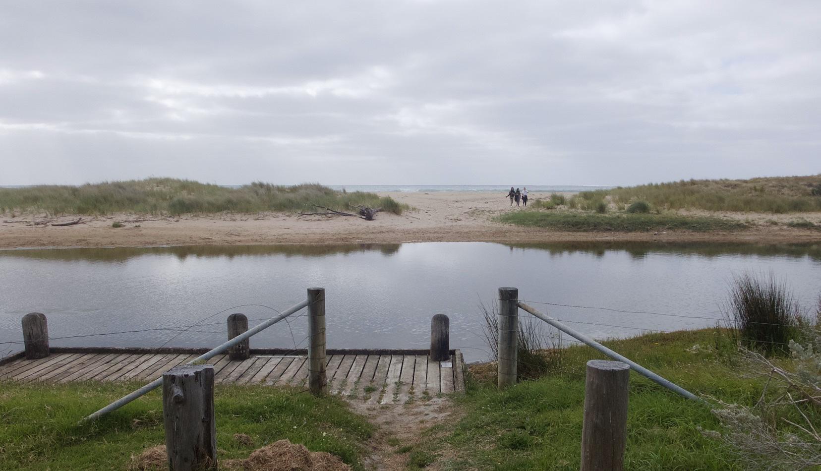
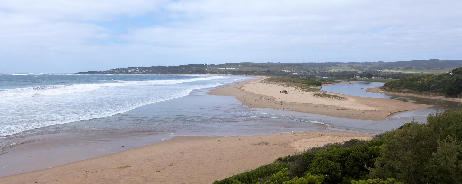
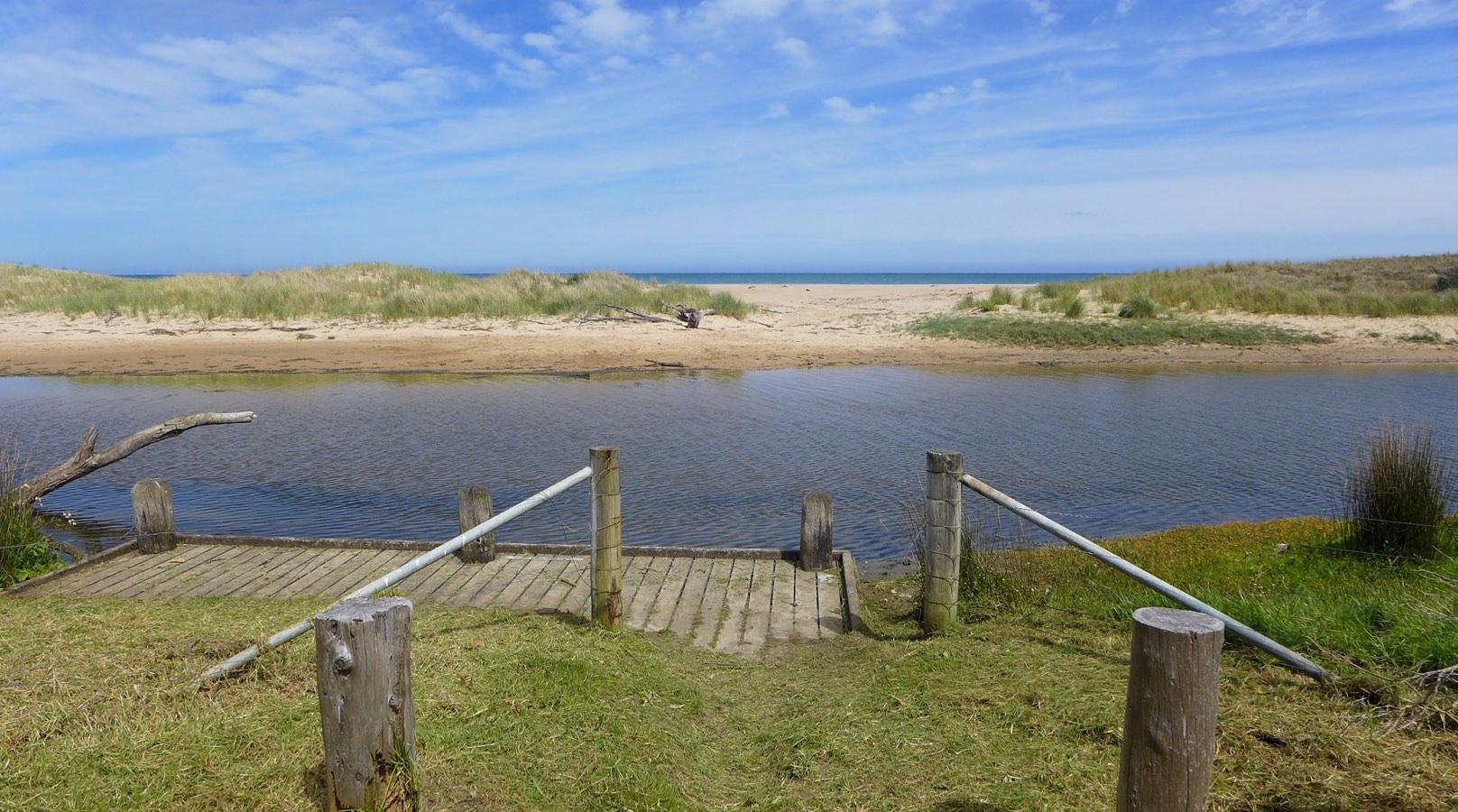
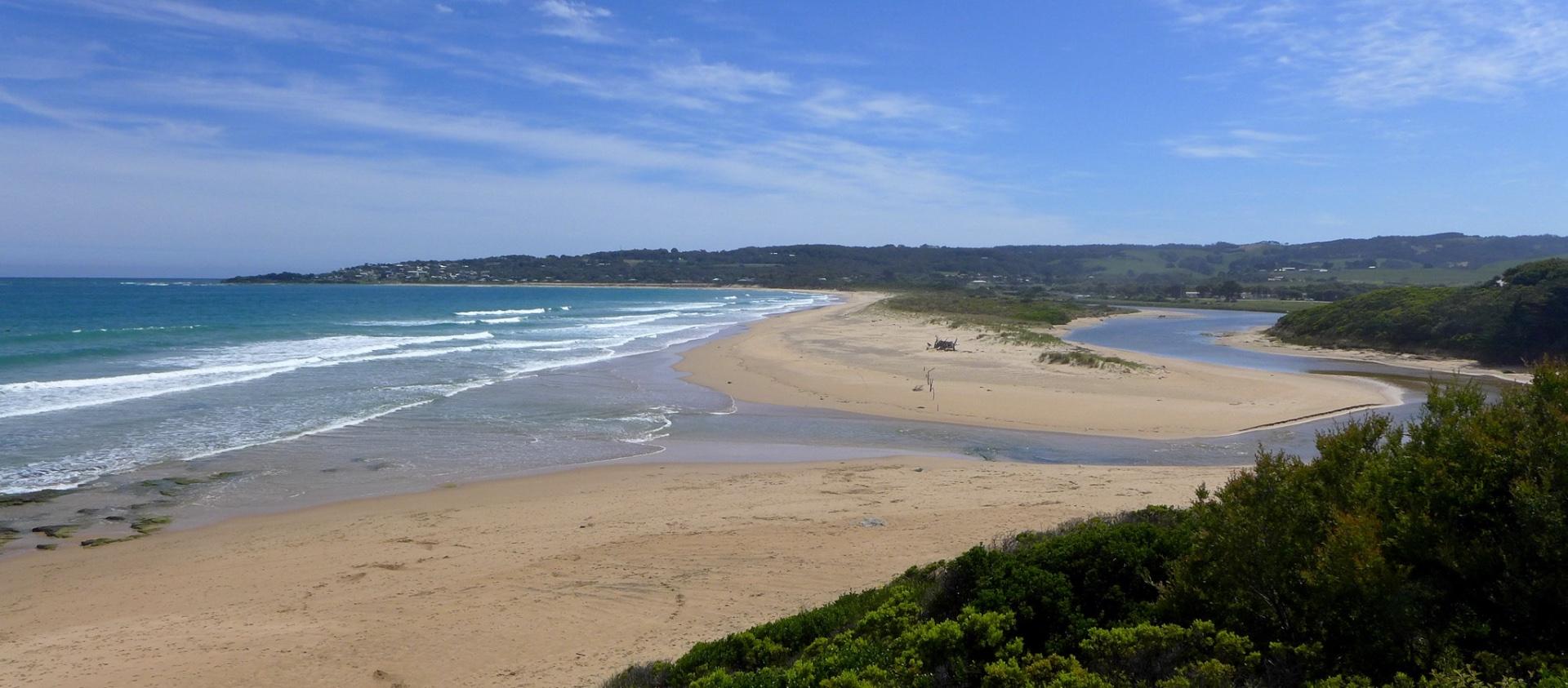
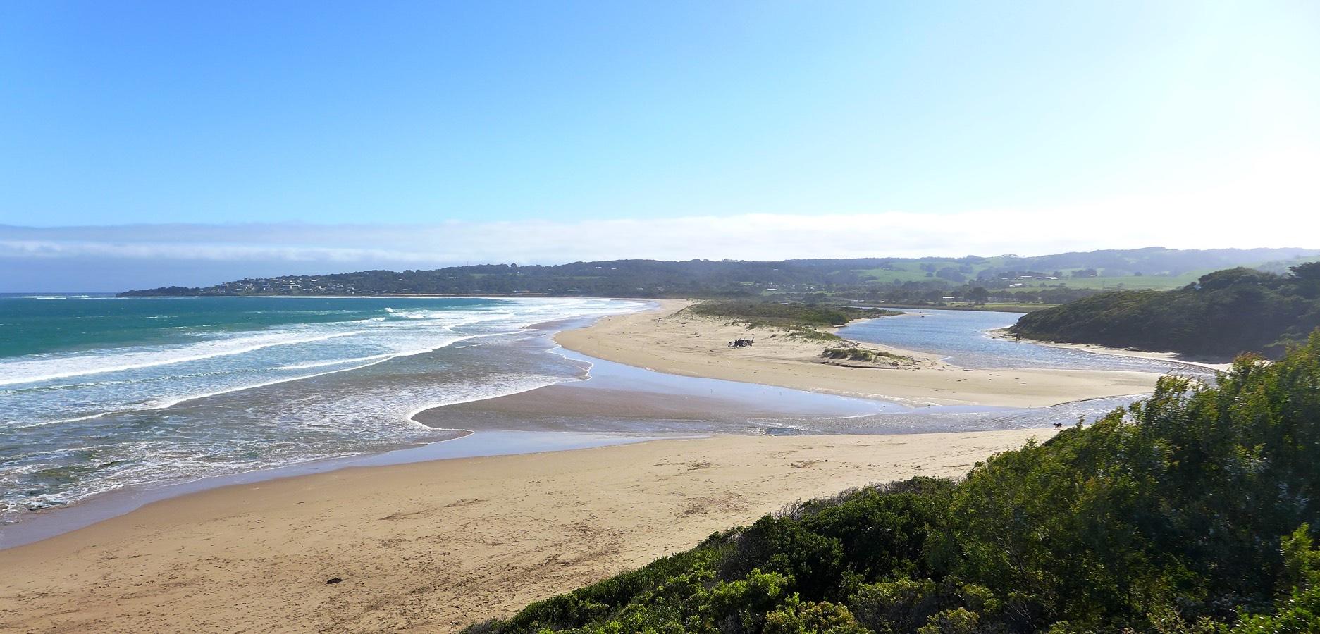
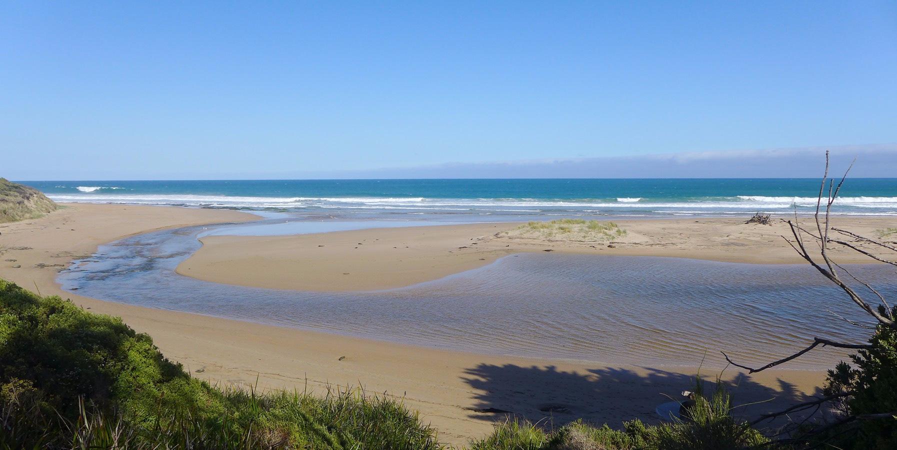
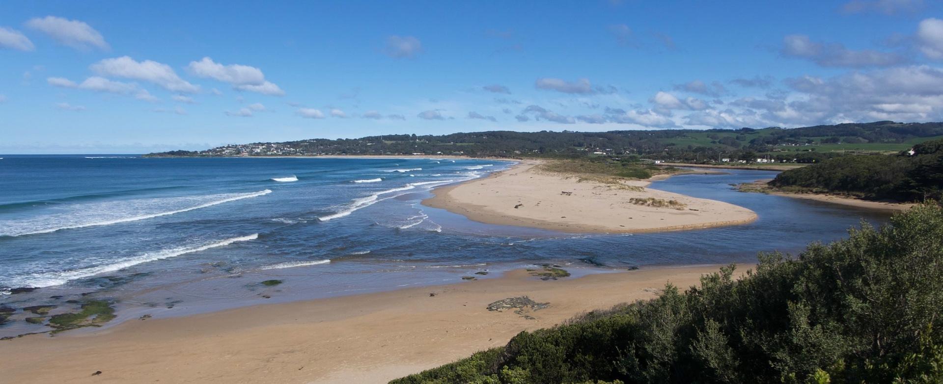
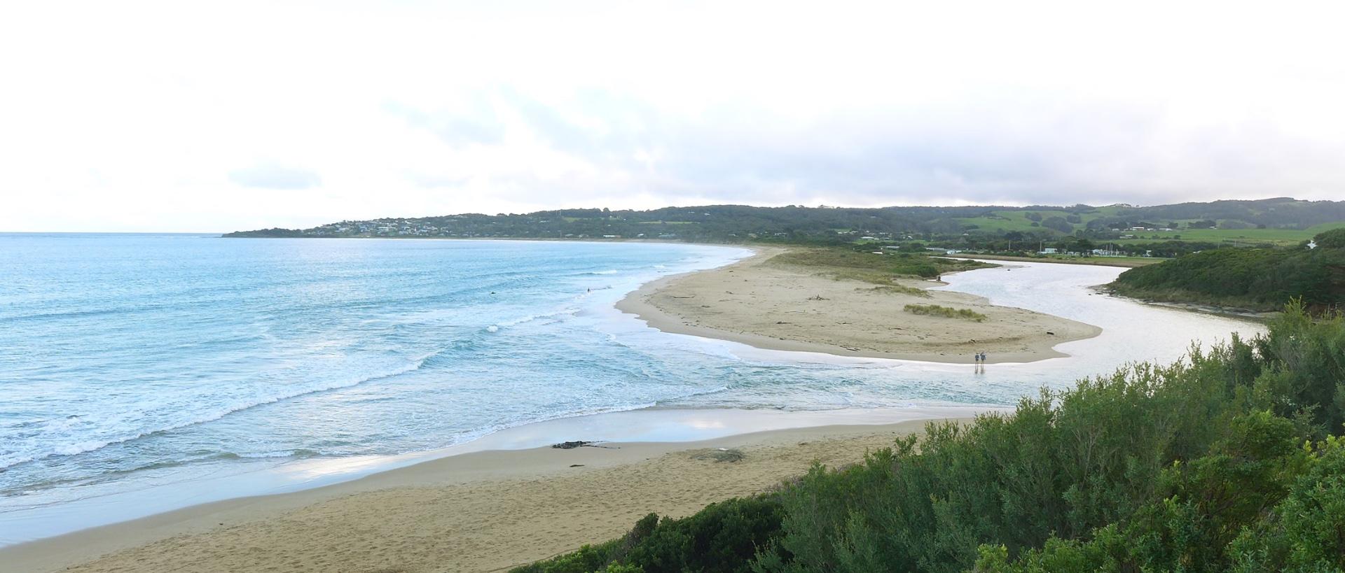
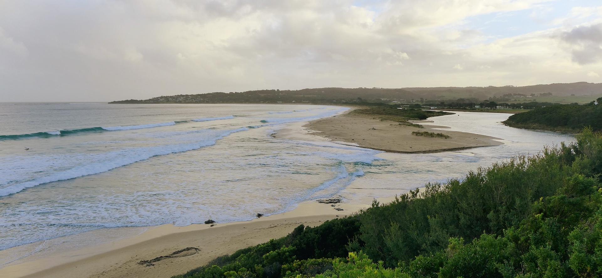
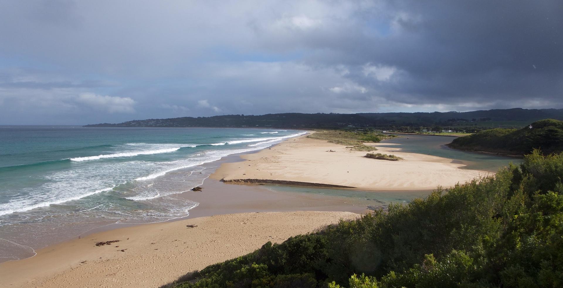
BmMC Barham River Observation Site
Active Mouth Condition 23-05-2008 - 19-04-2024Barham River Estuary
| ID | Date | Status | Details | |
|---|---|---|---|---|
| #13574 | 15 Feb 2020 | Approved |
Notes:
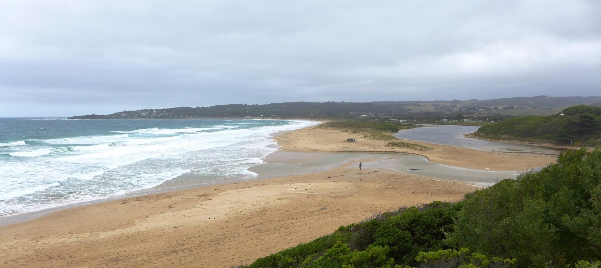
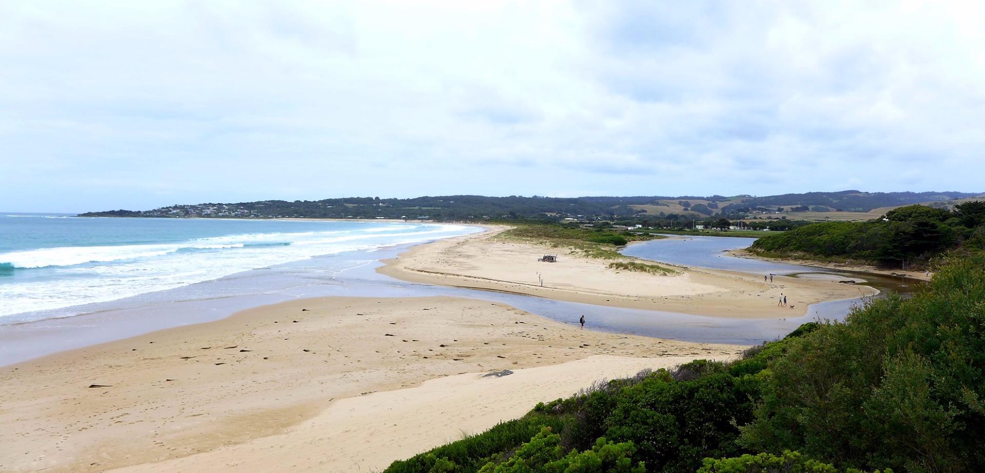
Rain past 48 hrs = 1.4 mm; Atm. Press. = 1012 hPa Mouth opening continues to shift south. |
|
| #13544 | 24 Jan 2020 | Approved |
Notes:
Rain past 48 hrs = 14.6 mm; Atm. Press = 1009 hPa. River mouth has moved Southwards. Although no tidal influence was observed, dark water stains on the estuary bank indicated that there was tidal intrusion during the 1.8 m high tide of the previous night. |
|
| #13469 | 22 Dec 2019 | Approved |
Notes:
No rain past 48 hrs; Atm press = 1024 hPa. |
|
| #13413 | 18 Nov 2019 | Approved |
Notes:
Rainfall past 48 hrs = 0.8 mm; Atm. Press = 1015 hPa Tidal influence would have been greater at 04:18 hrs when the predicted tide height was 2.03 m. |
|
| #13372 | 21 Oct 2019 | Approved |
Notes:
Rainfall past 48 hrs = 0.8 mm; Atm. press. = 1030 hPa. River level observed to be slowly dropping after recent rains. |
|
| #13312 | 13 Sep 2019 | Approved |
Notes:
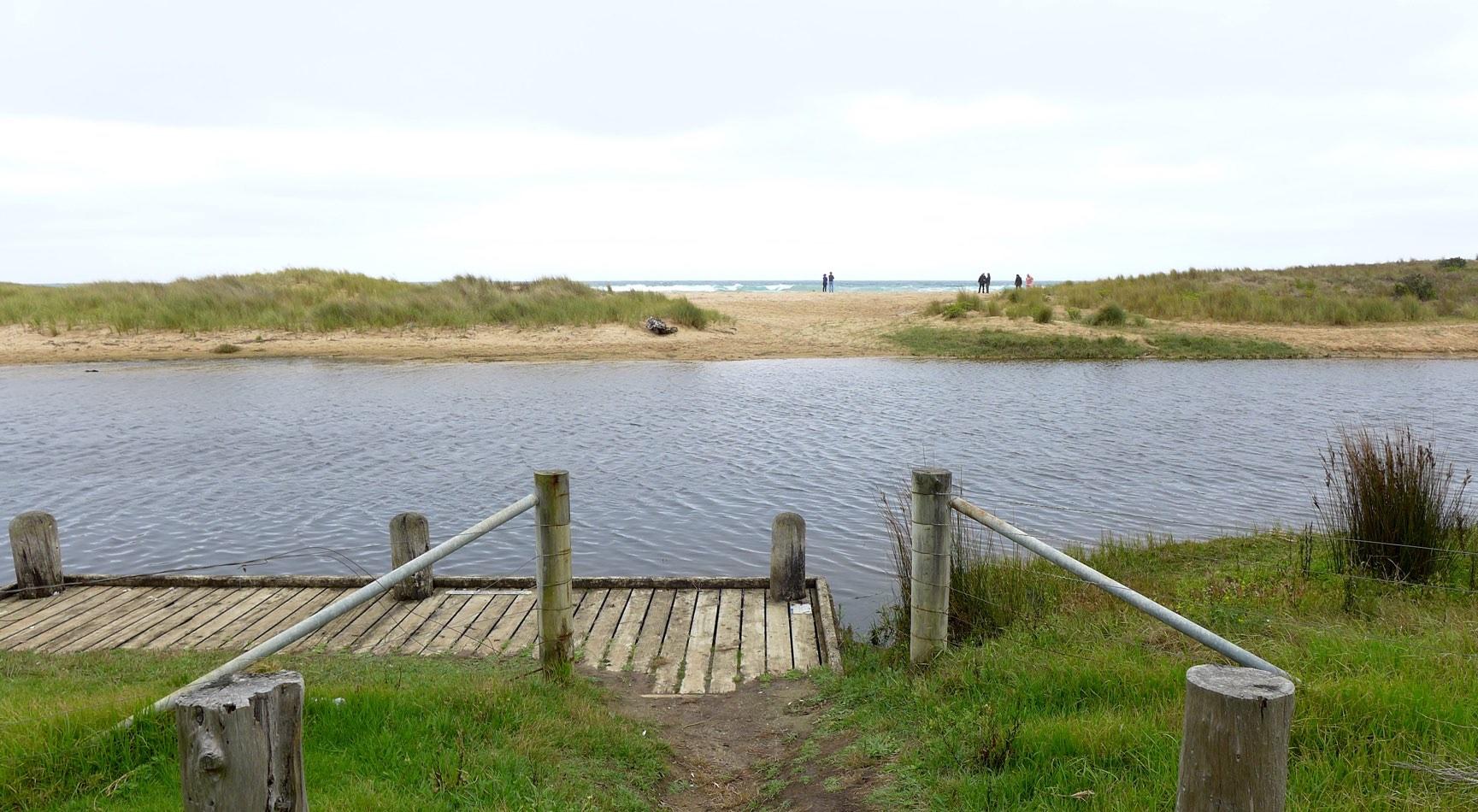
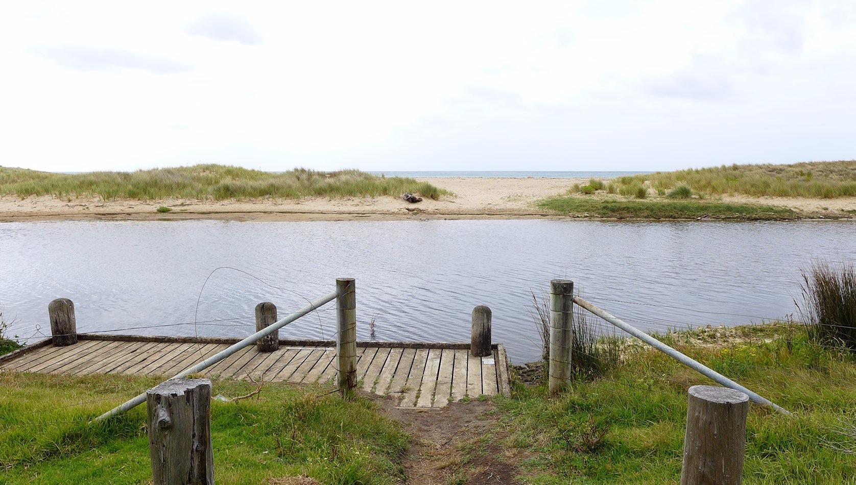
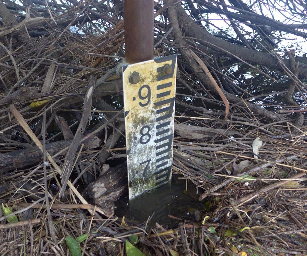
Rainfall past 48 hrs = 1.6 mm; Atm. press = 1023.5 hPa. There is an ongoing build-up of sediment and debris at the river gauge. (See photo.) River height readings may not be possible during dry months. Question for Estuarywatch co-ordinator: Vegetation growth has progressively obscured our vision of the river mouth from Photopoint BmP3. (See photo BmP3-3). Other viewpoints have advantages, and may deserve consideration. (See, for example, photo BmP2-5.) |
|
| #13245 | 14 Aug 2019 | Approved |
Notes:
1.8 mm rain past 48 hrs; atm. press. = 1027 hPa |
|
| #13187 | 8 Jul 2019 | Approved |
Notes:
Rain past 48 hrs = 8 mm; Atm. pressure = 1024 hPa School holidays: Visitors with dogs frequent estuary vicinity. |
|
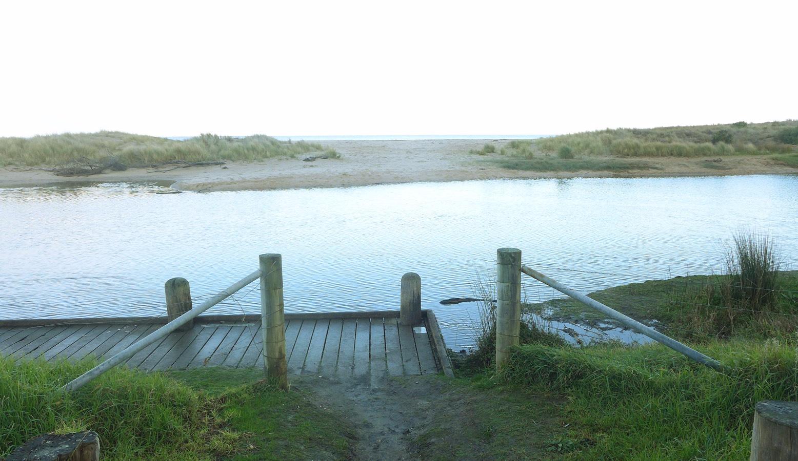
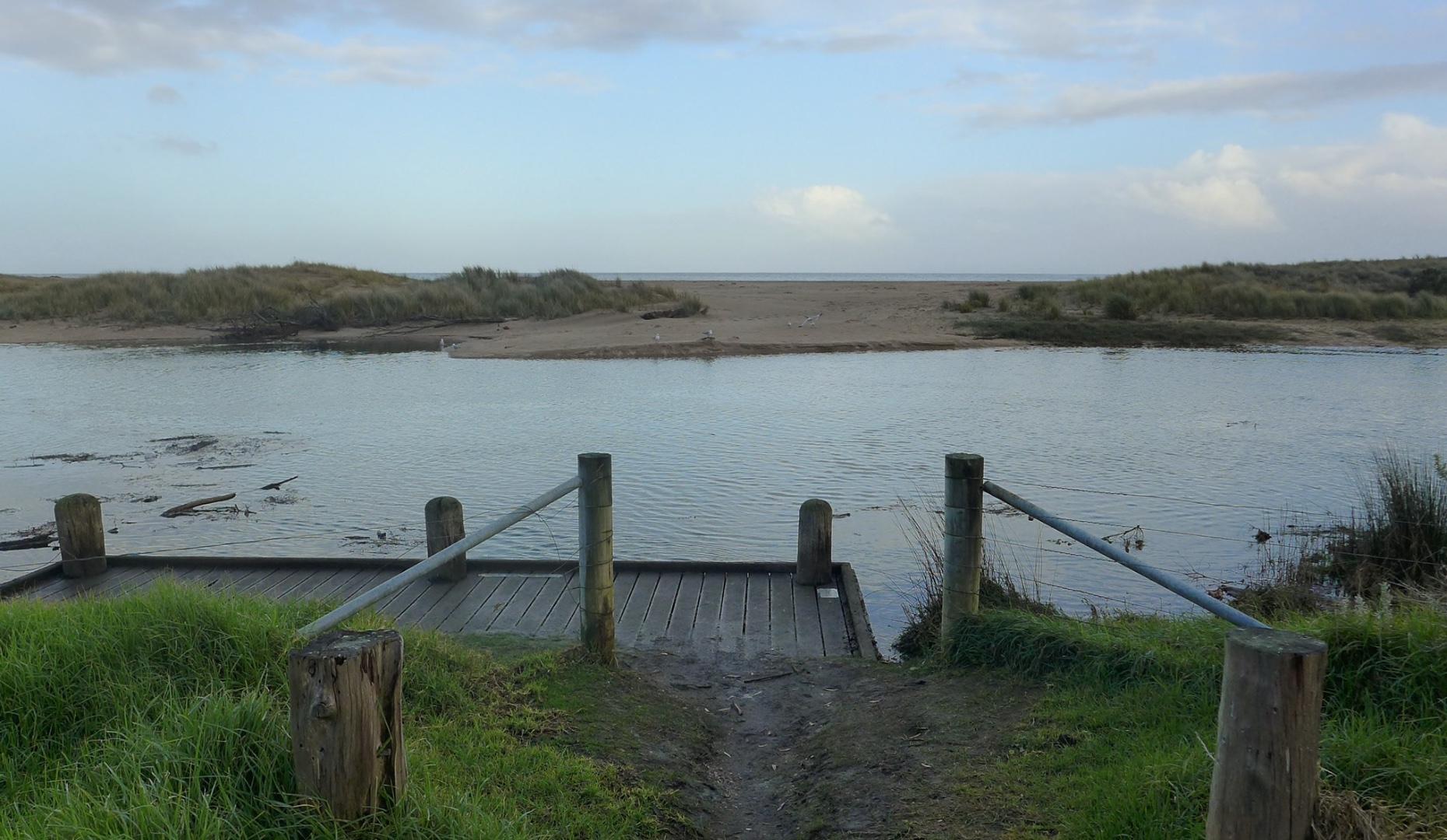
| #13120 | 10 Jun 2019 | Approved |
Notes:
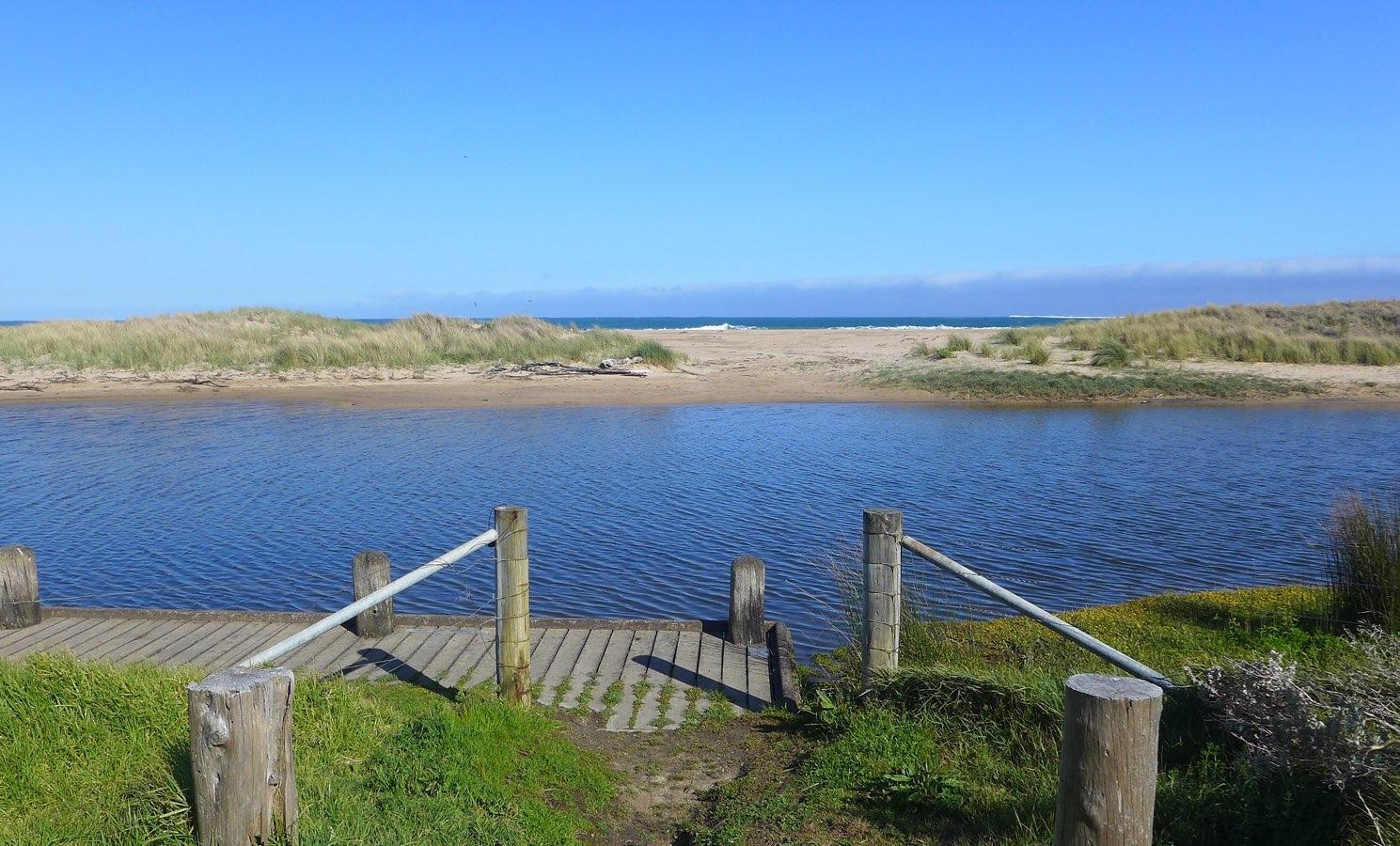
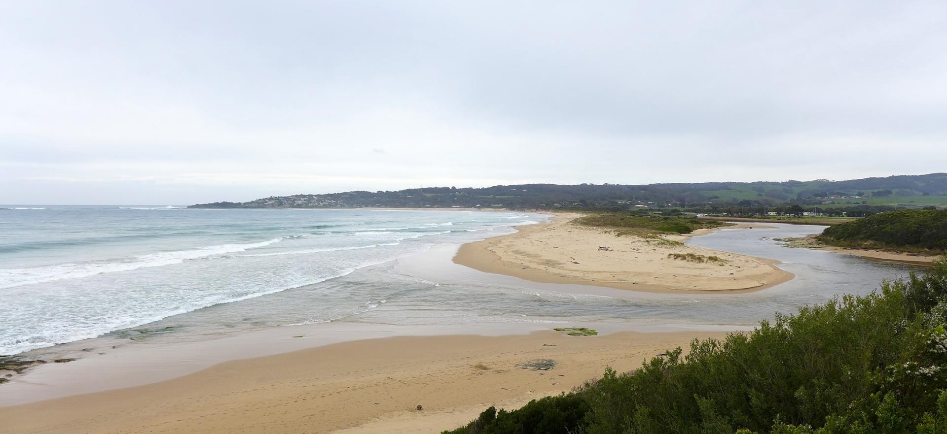
Rainfall past 48 hrs = 1 mm; Atm. press. = 1006.2 hPa Estuary water level high, accompanied by considerable width. Note the river levels observed at BmP2 were not steady, but showed short term fluctuations within the range 1.16 to 1.23 m, according to wave action at the river mouth. |
|
| #12910 | 8 May 2019 | Approved |
Notes:
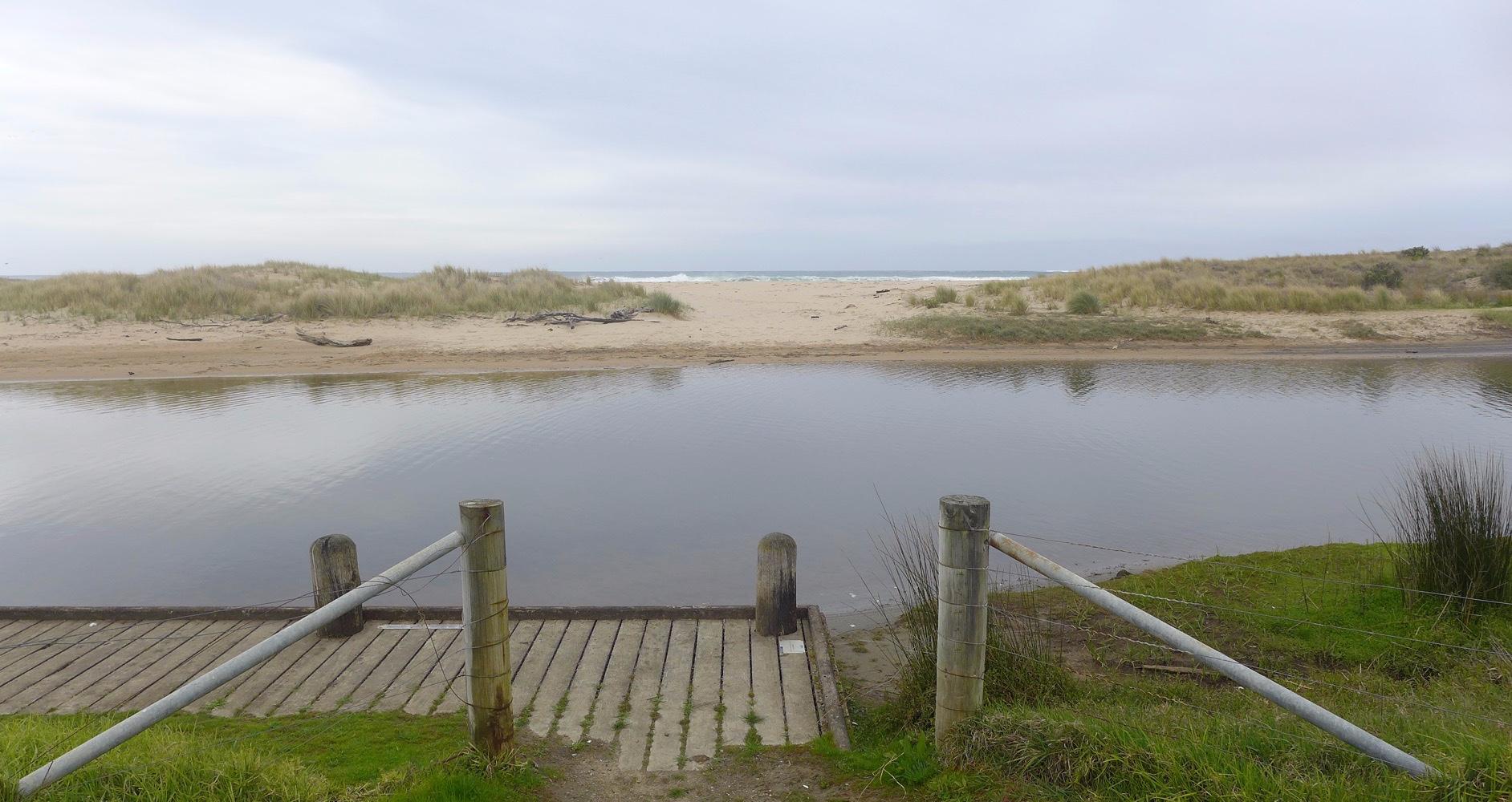
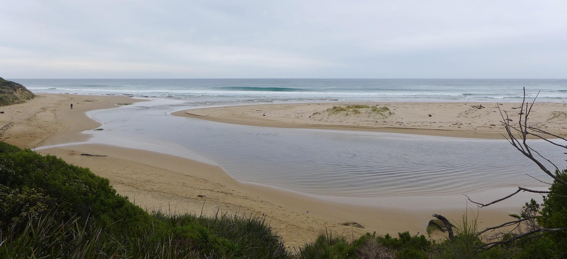
19 mm rain during past 48 hrs; atmospheric pressure = 1019 hPa. At GOR bridge observation point BmP2, a developing sand berm was observed spreading across the river towards the fishing platform. |
|


All content, files, data and images provided by the EstuaryWatch Data Portal and Gallery are subject to a Creative Commons Attribution License
Content is made available to be used in any way, and should always attribute EstuaryWatch and www.estuarywatch.org.au