EstuaryWatch Data Portal
WyMC Wye River Mouth Condition
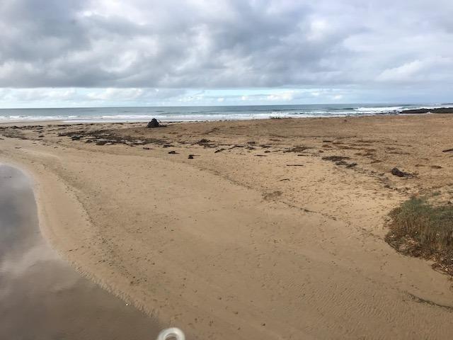
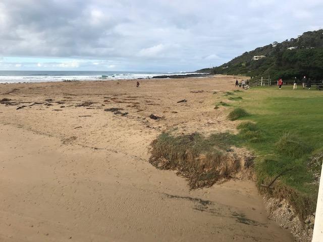
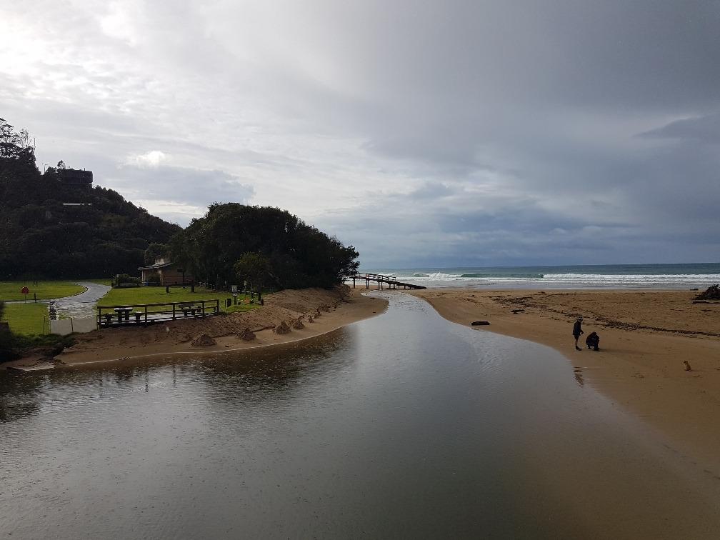
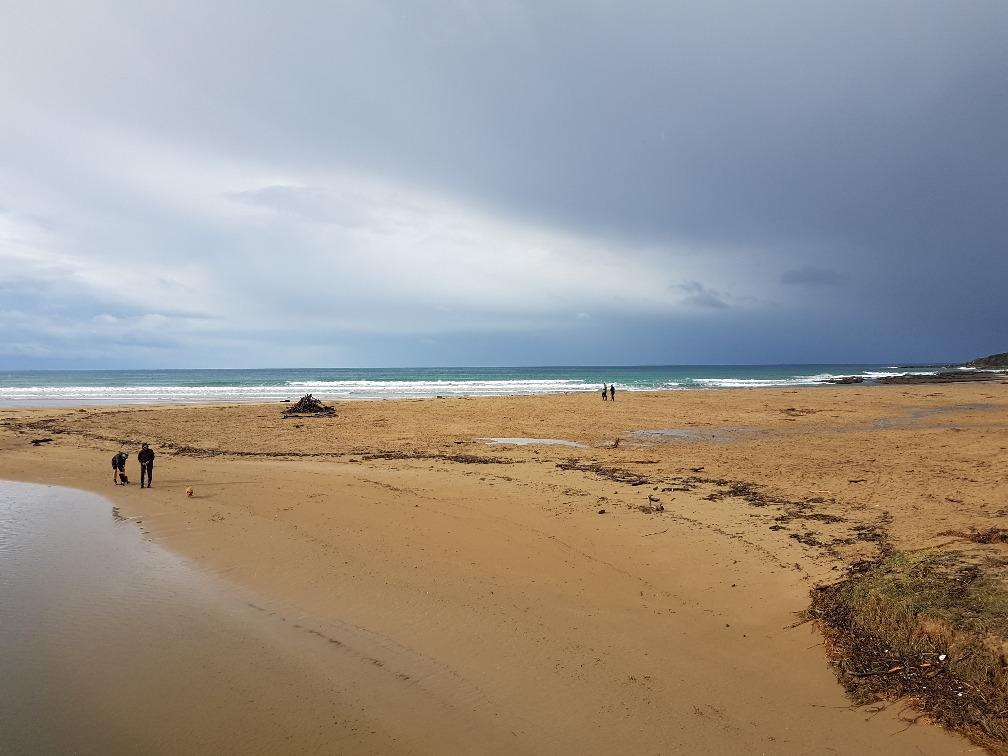
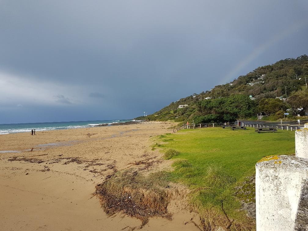
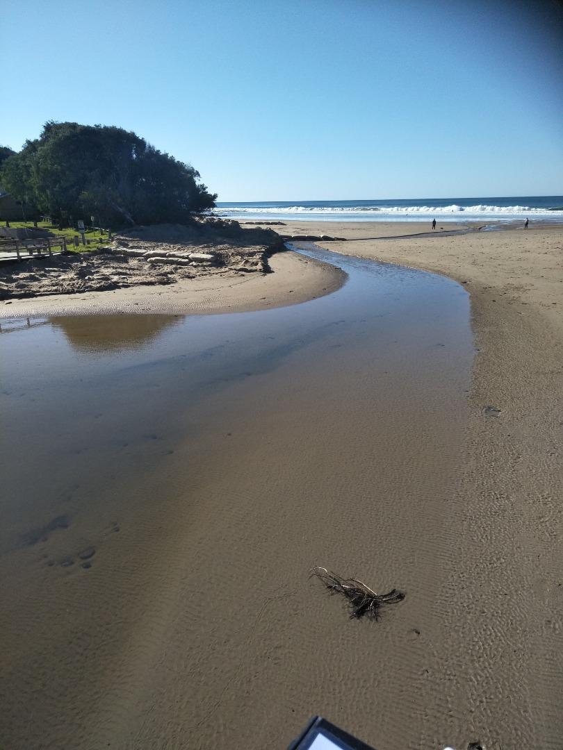
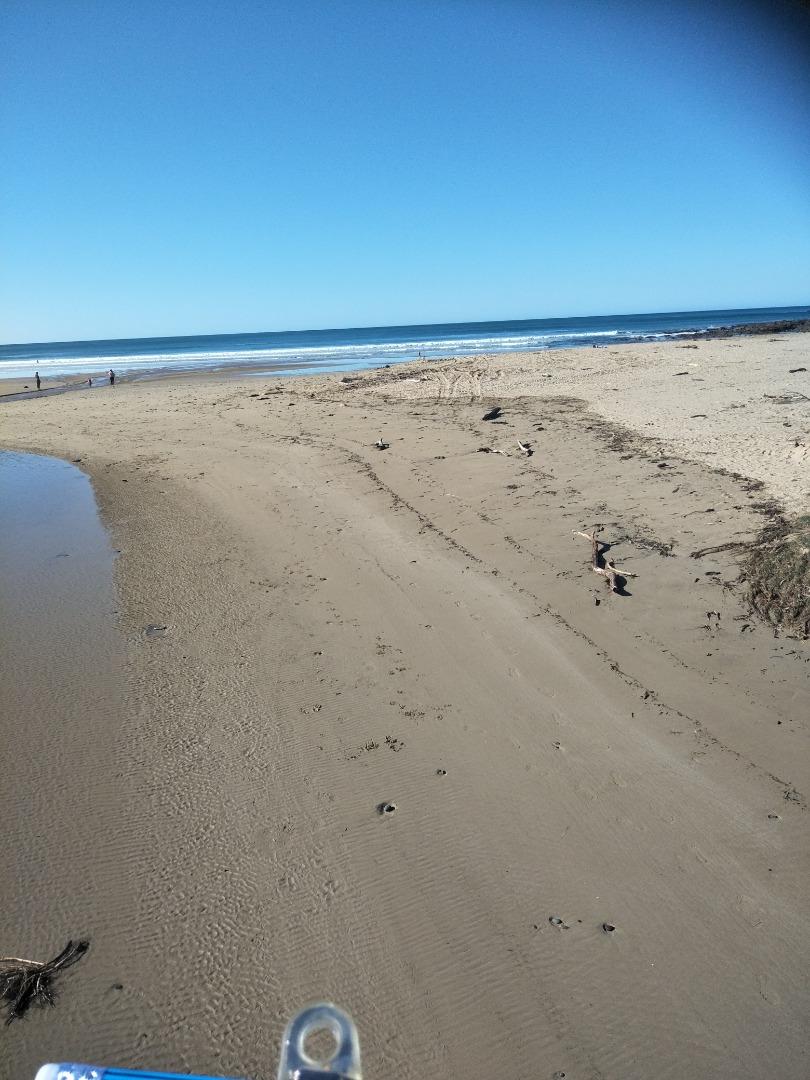
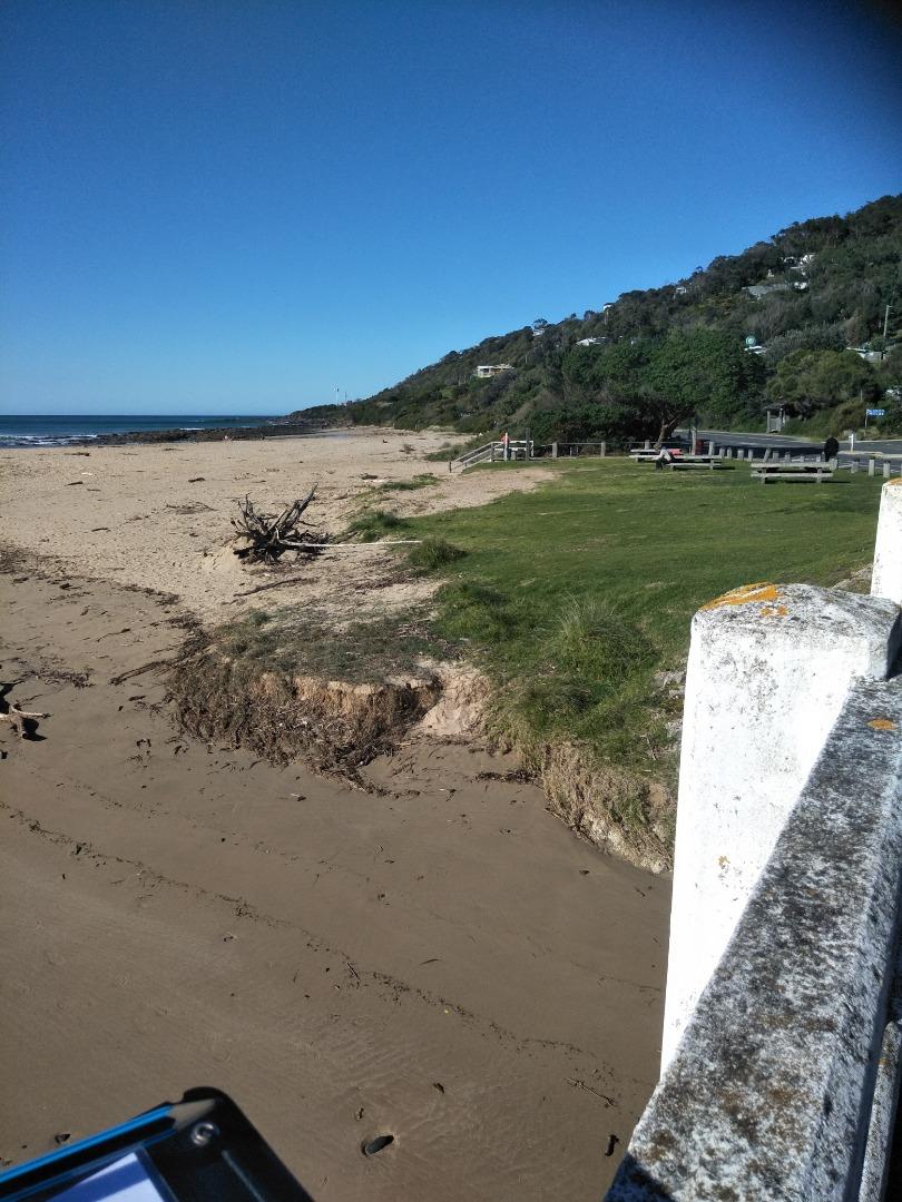
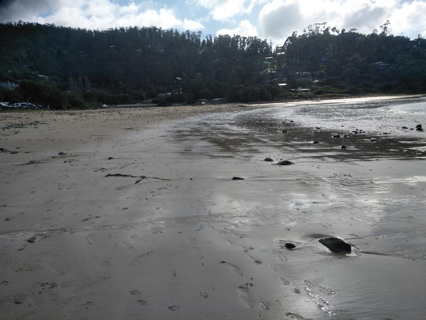
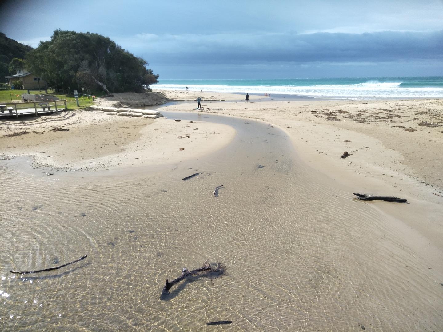
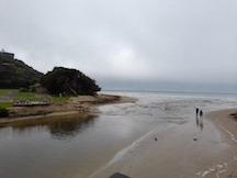
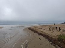
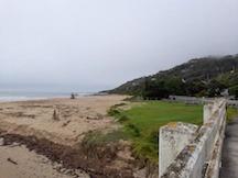
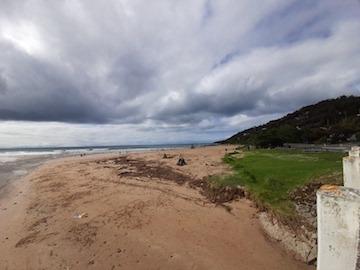
Active Mouth Condition 20-01-2007 - 05-05-2024Wye River Estuary
| ID | Date | Status | Details | |
|---|---|---|---|---|
| #14148 | 6 Jun 2021 | Approved |
Notes:
Gauge above the water level. |
|
| #14182 | 20 Jun 2021 | Approved |
Notes:
Gauge is much higher than the water level in the river channel where the gauge is located, not possible to take a reading as it is 'high and dry'. |
|
| #14199 | 4 Jul 2021 | Approved |
Notes:
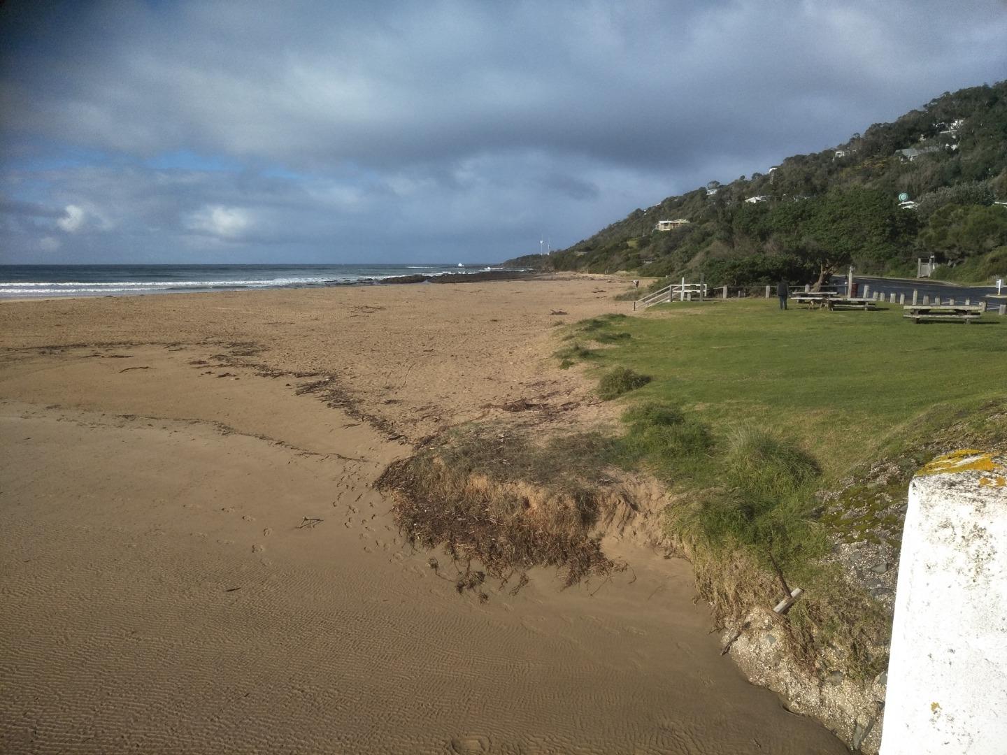
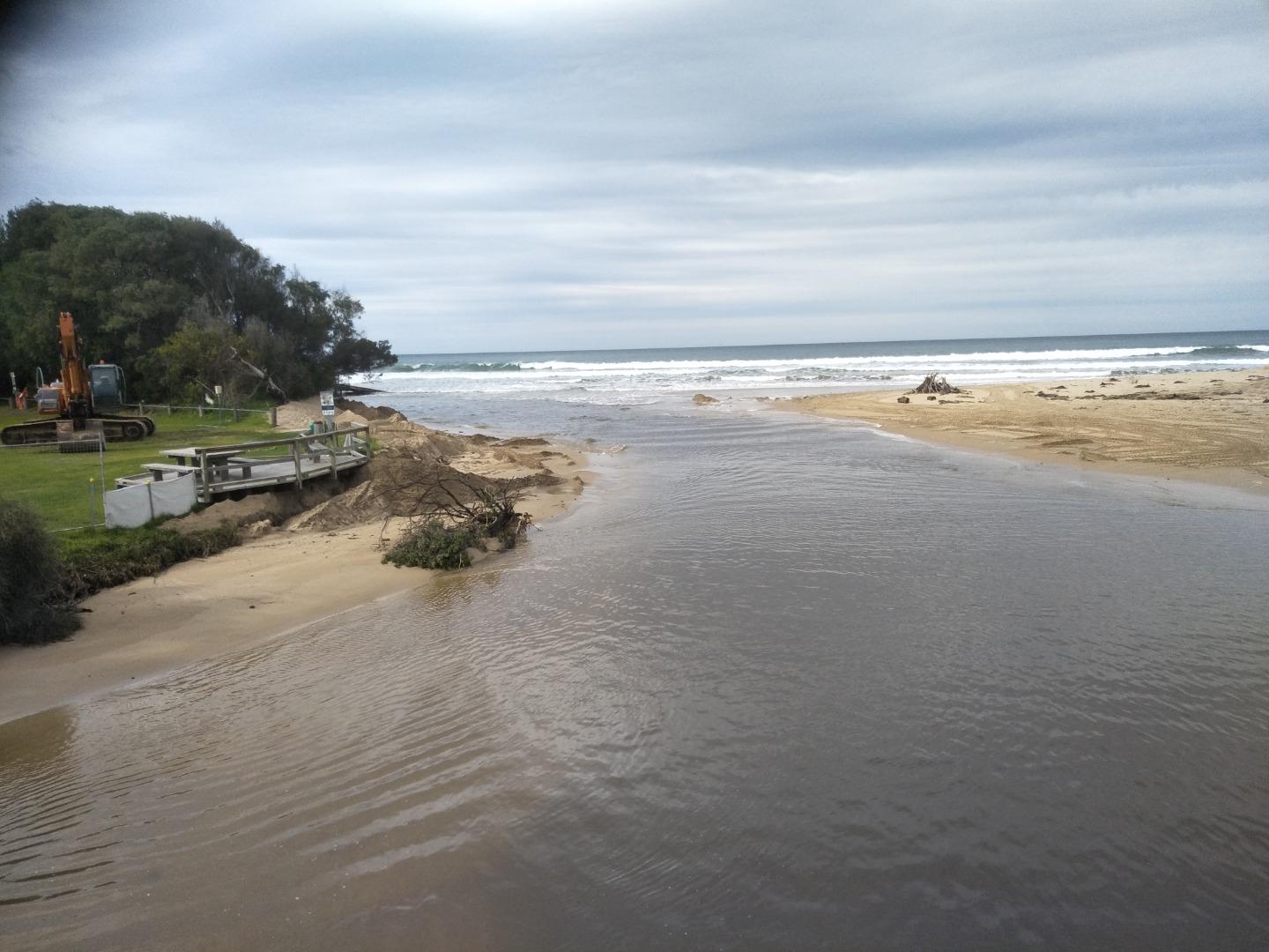
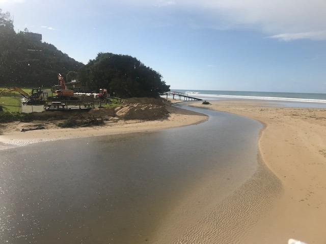
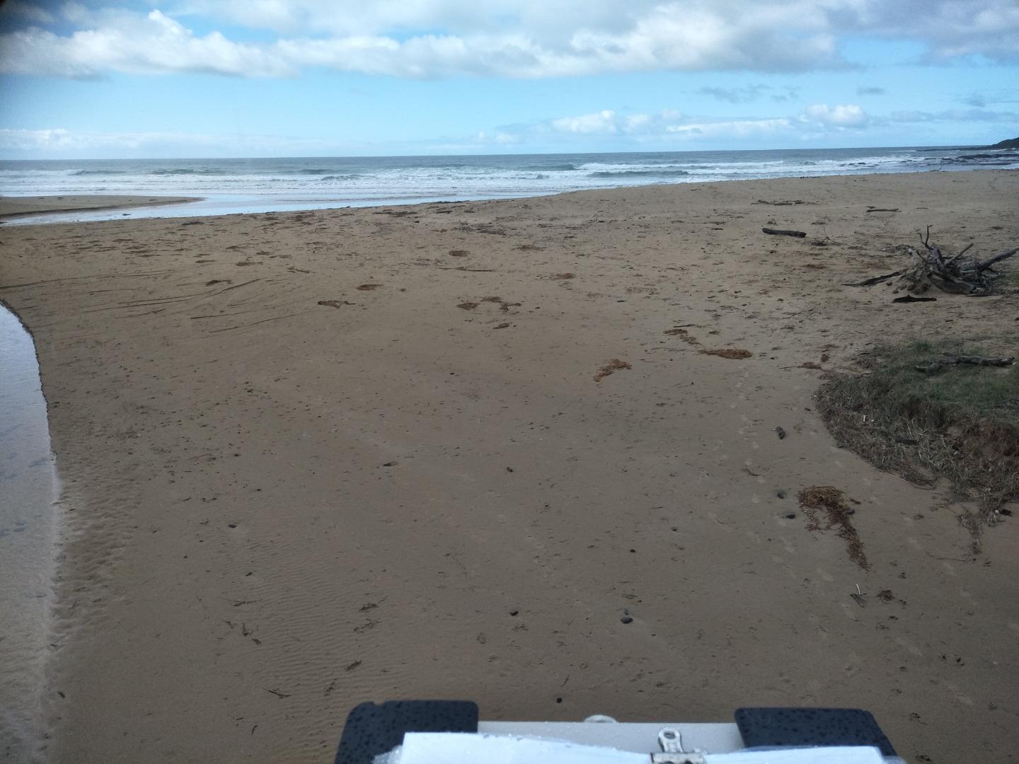
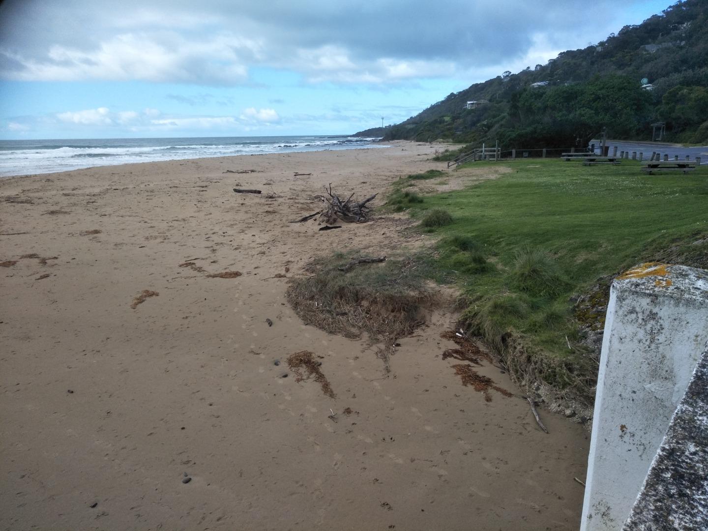
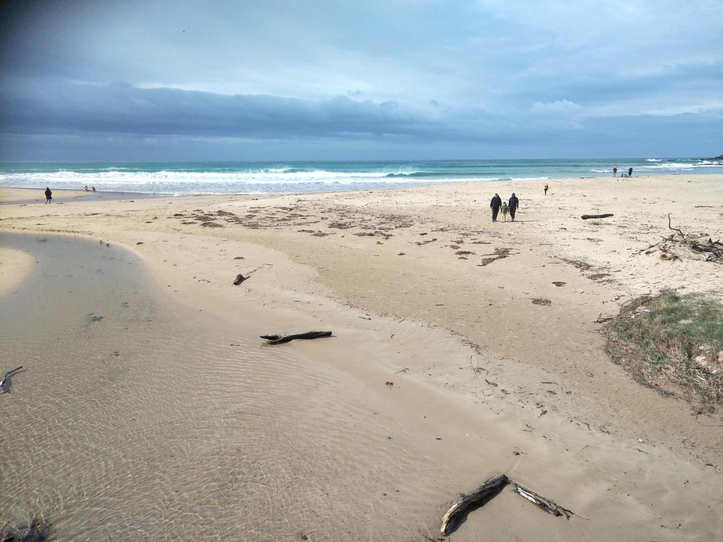
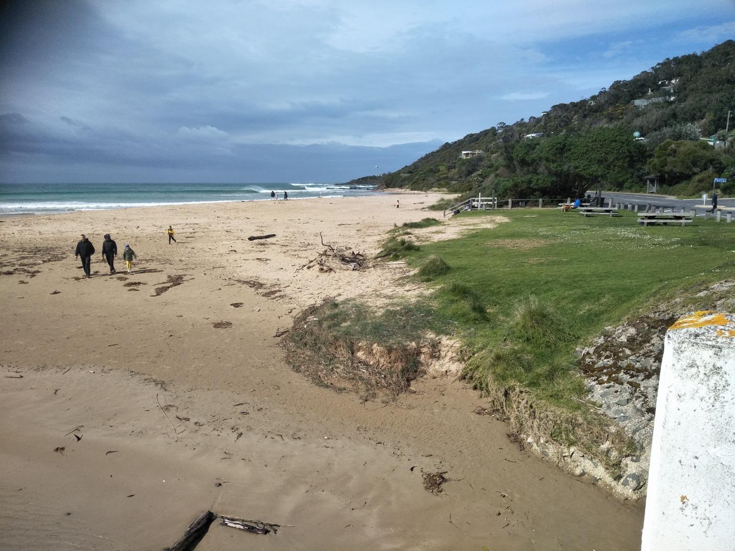
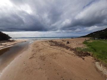
More dune erosion in front of surf club due to stormy weather last weekend, disabled access ramp collapsed. Bulldozer active during week moving sand across beach from south to north to protect dunes - sand heaps visible in photos |
|
| #14222 | 18 Jul 2021 | Approved |
Notes:
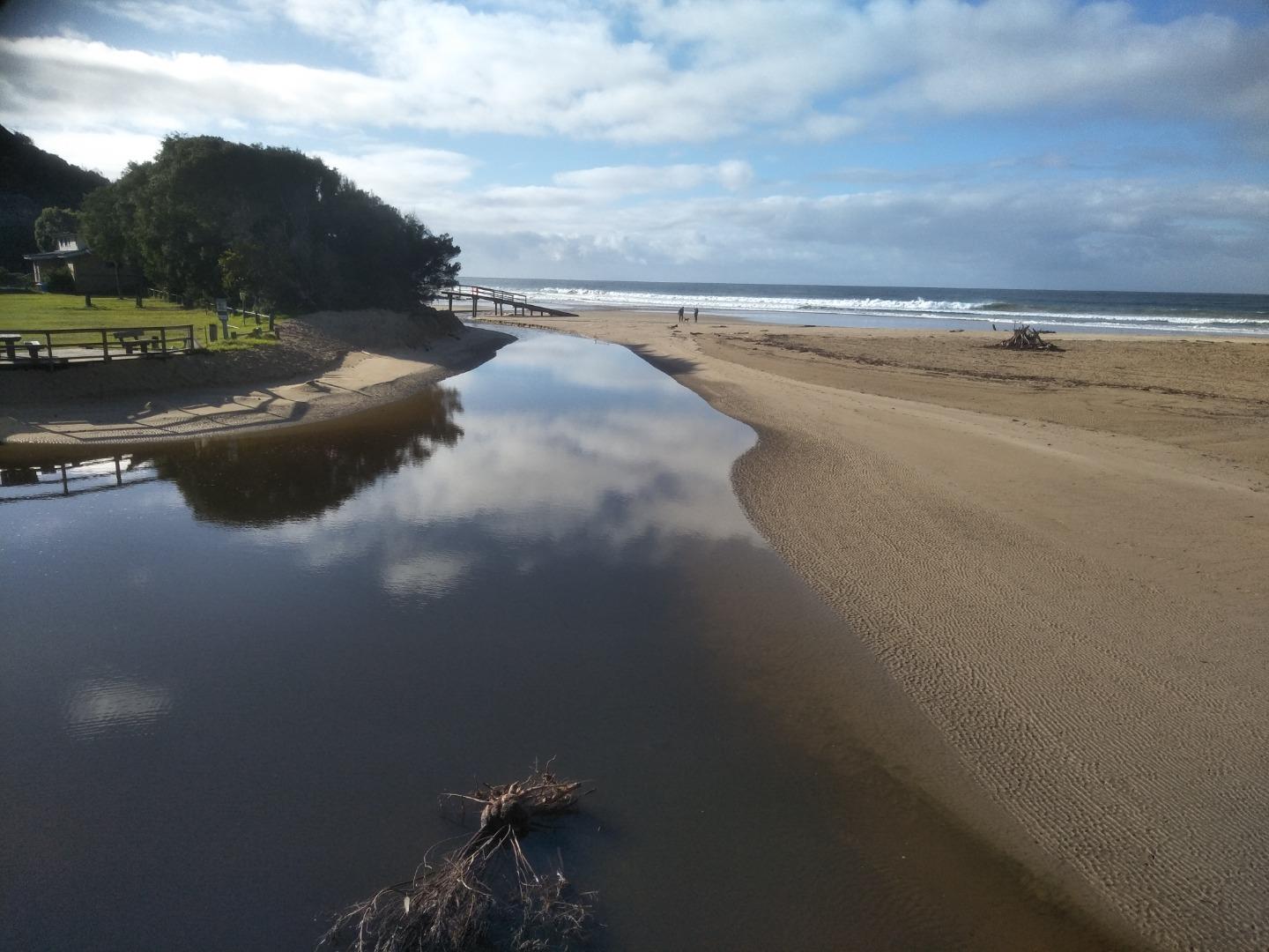
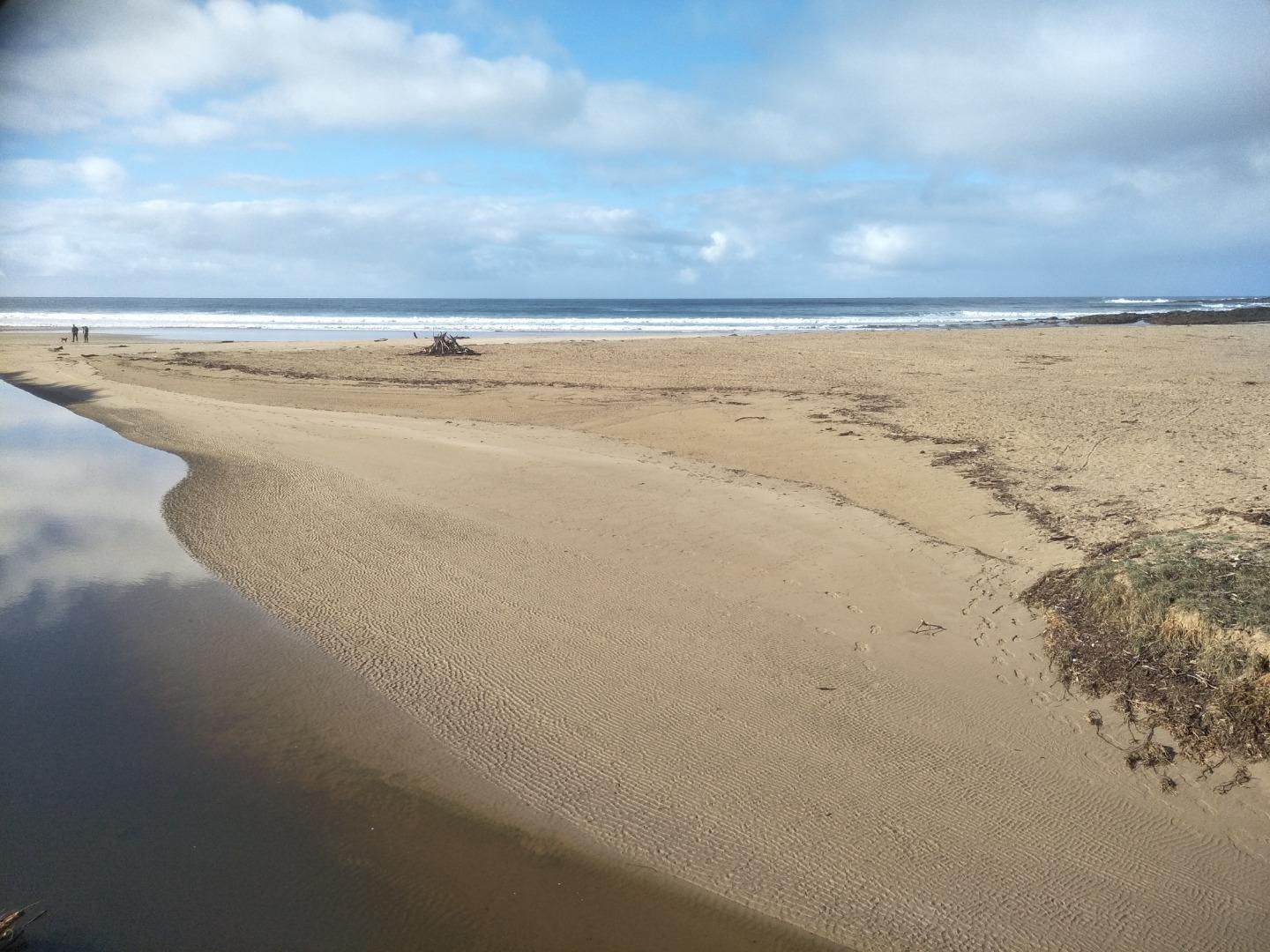
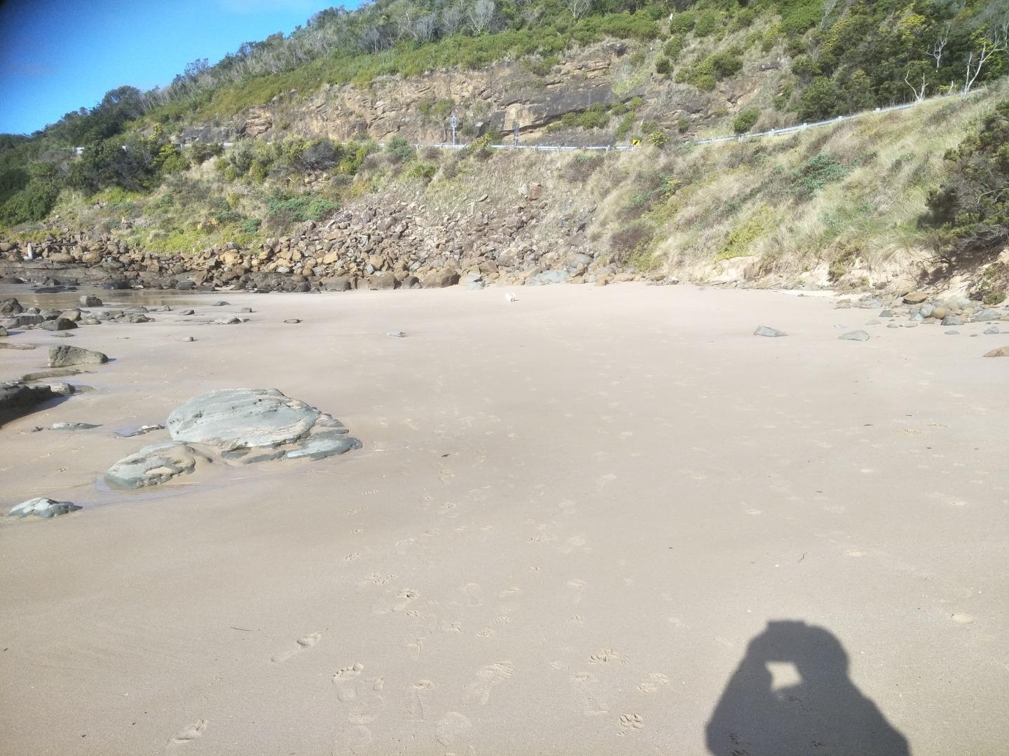
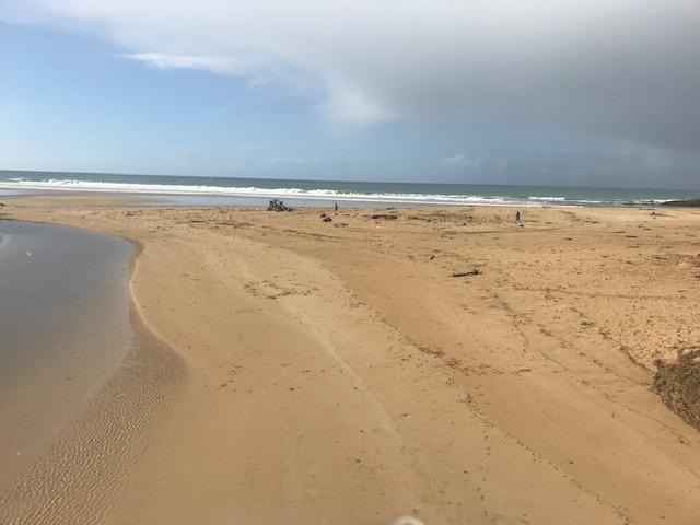
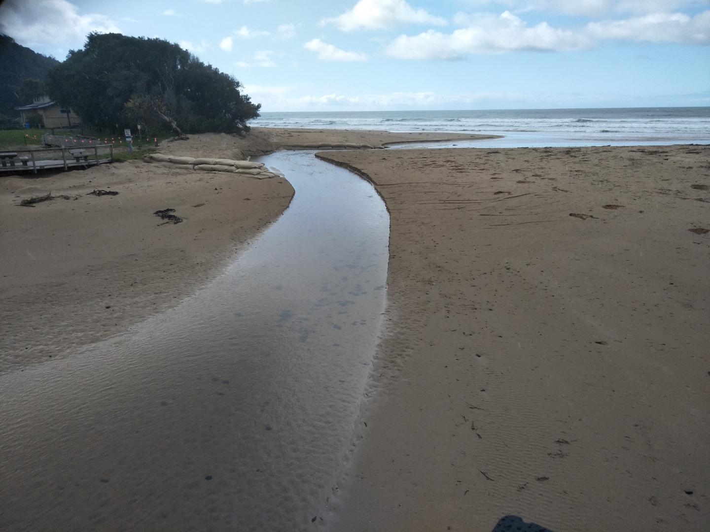
Monitoring conducted during normal exercise walk. Additional photos of tidal sand-shifting effect as well manual sand-shifting to modify river course and subsequent tidal effect.. |
|
| #14225 | 1 Aug 2021 | Approved |
Notes:
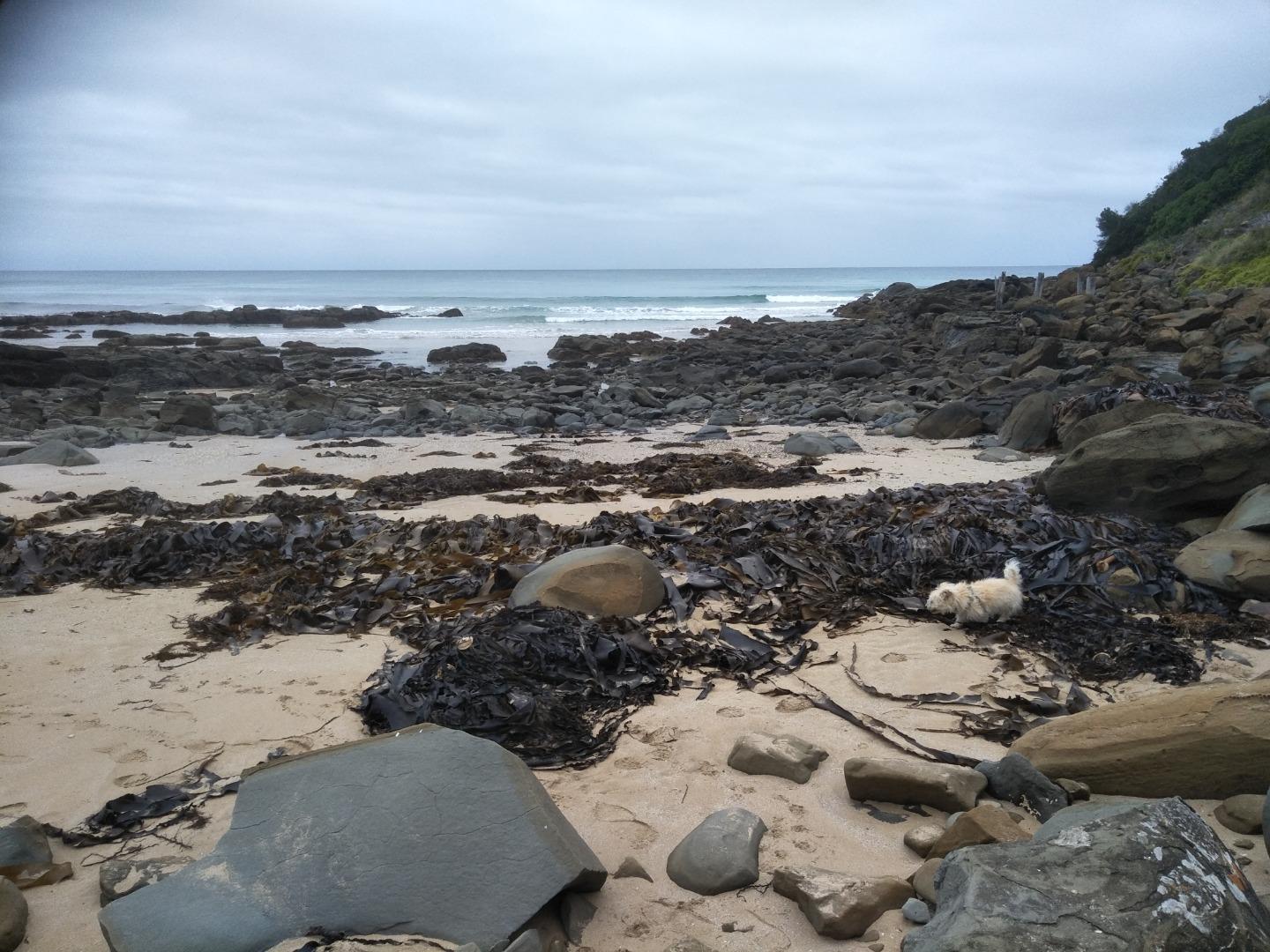
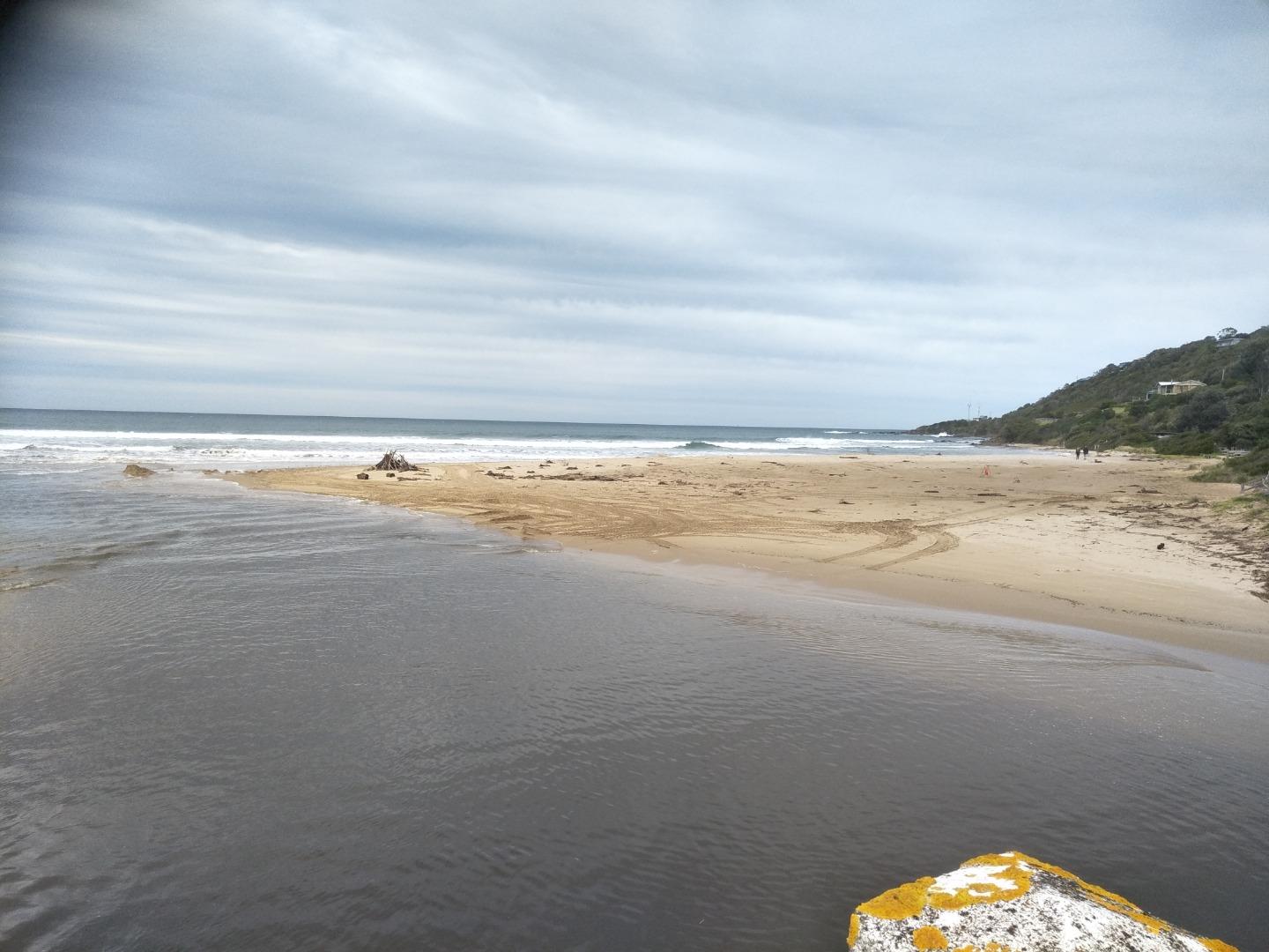
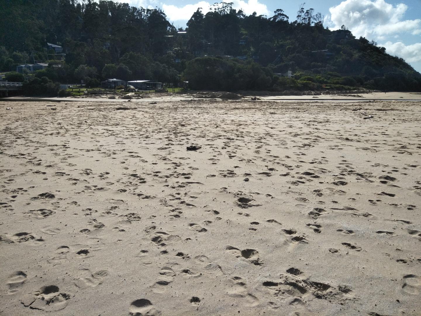
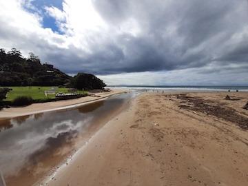
It was a very calm and still day, hence no wind direction recorded. The bottom of the river gauge is rather dirty and difficult to read. Assessment of the water level was made as accurately as possible. Photos show the piles of sand moved by machinery to the front of the dune area where the erosion has occurred over the past months. Sand has been moved by an excavator from the beach south of the estuary into piles around the base of the dunes. These piles of sand extend around to the dunes in front of the surf club. Work is underway to place sandbags around the base of the dunes to hinder further erosion which has the potential to impact the surf club building. |
|
| #14250 | 15 Aug 2021 | Approved |
Notes:
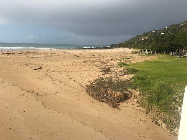
Additional two photos of continued machine sand shifting. Apologies for the 'portrait' photos instead of landscape. |
|
| #14275 | 5 Sep 2021 | Approved |
Notes:
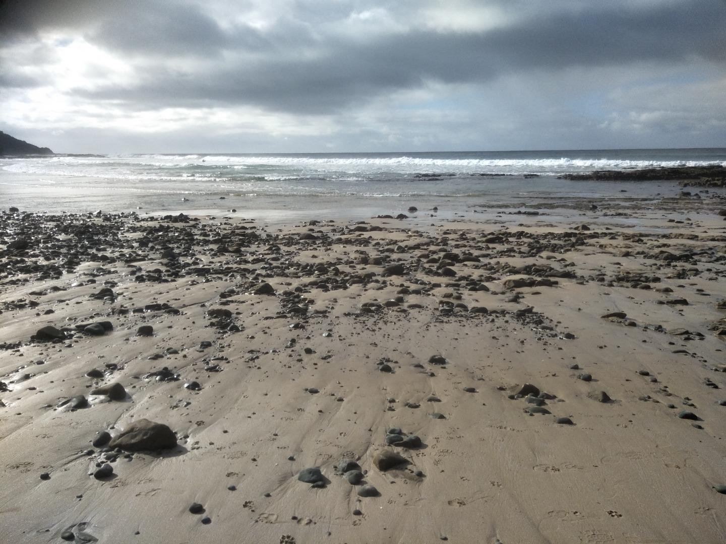
Monitoring performed during daily exercise walk - in the rain. |
|
| #14298 | 19 Sep 2021 | Approved |
Notes:
Monitoring conducted during normal daily exercise. |
|
| #14302 | 3 Oct 2021 | Approved |
Notes:
Water level was below the measurement marker. |
|
| #14322 | 17 Oct 2021 | Approved |
Notes:
The water level is below the marker |
|

All content, files, data and images provided by the EstuaryWatch Data Portal and Gallery are subject to a Creative Commons Attribution License
Content is made available to be used in any way, and should always attribute EstuaryWatch and www.estuarywatch.org.au