EstuaryWatch Data Portal
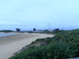
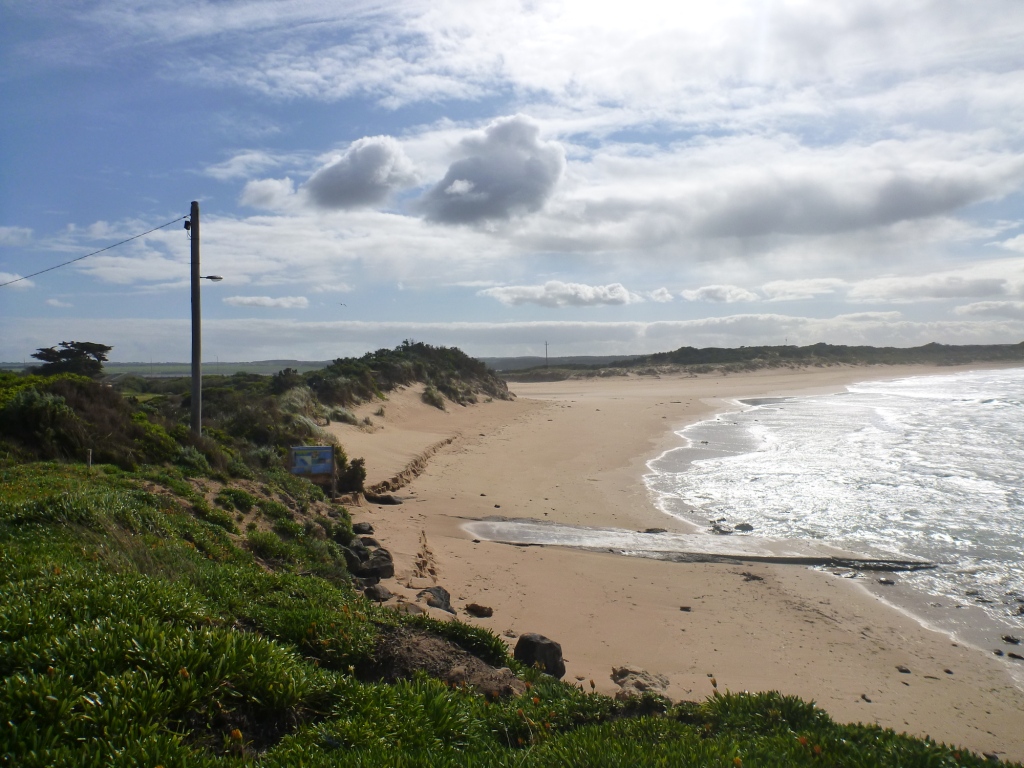
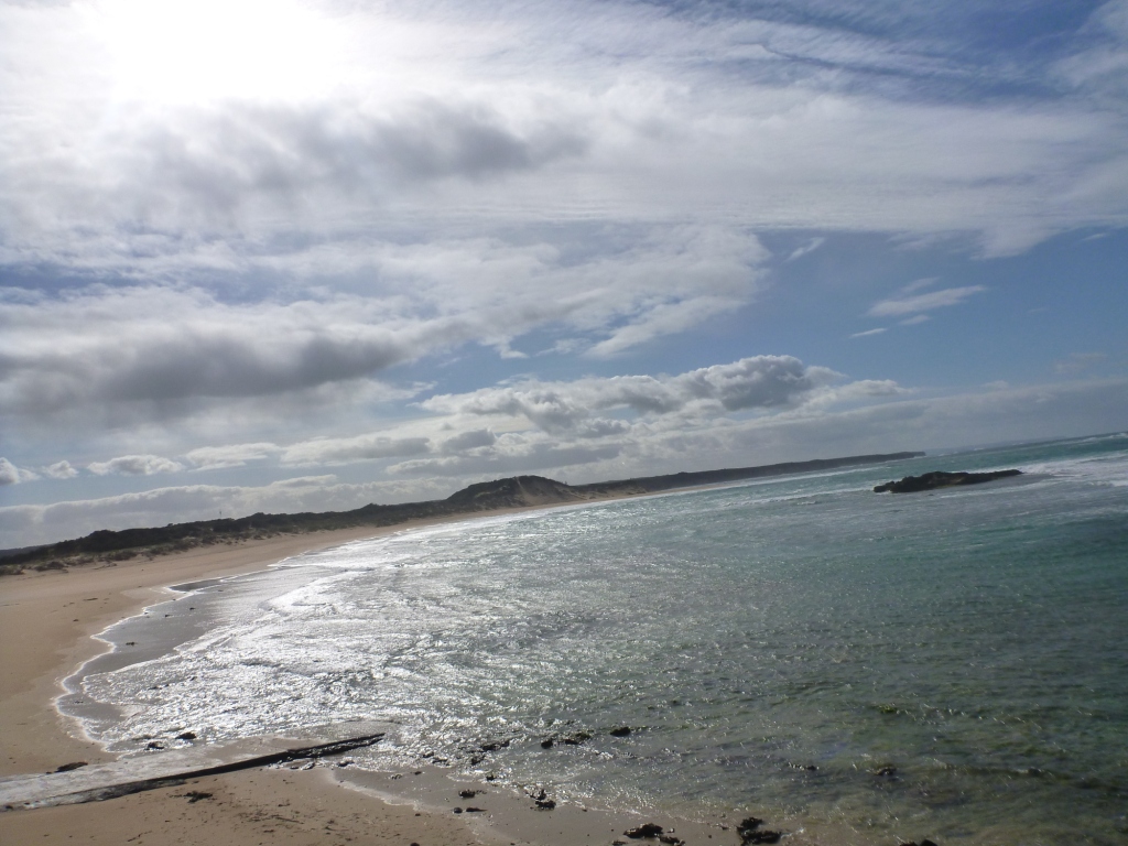
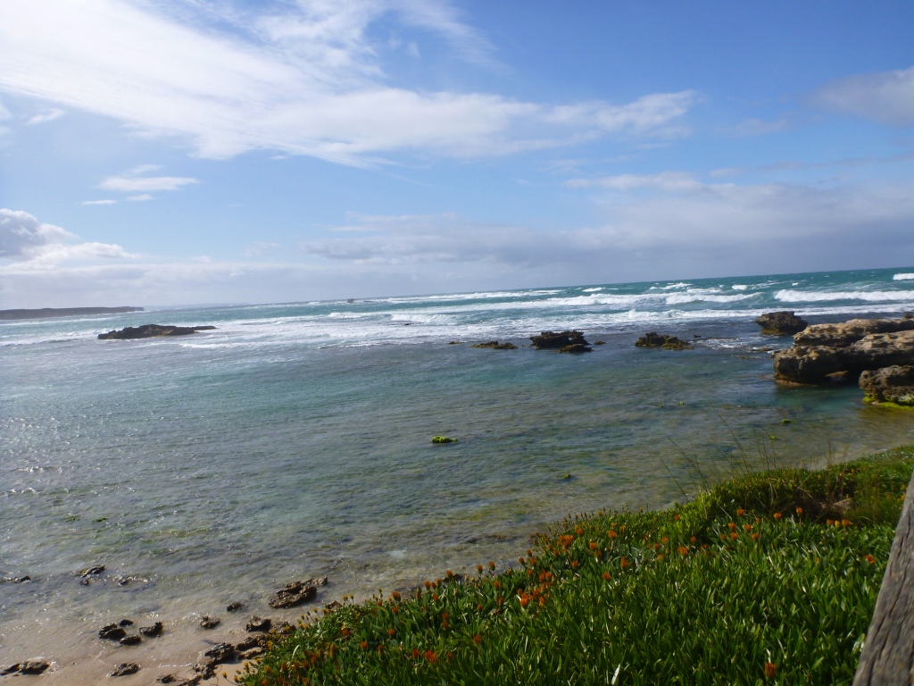
CuMC Curdies Mouth Condition
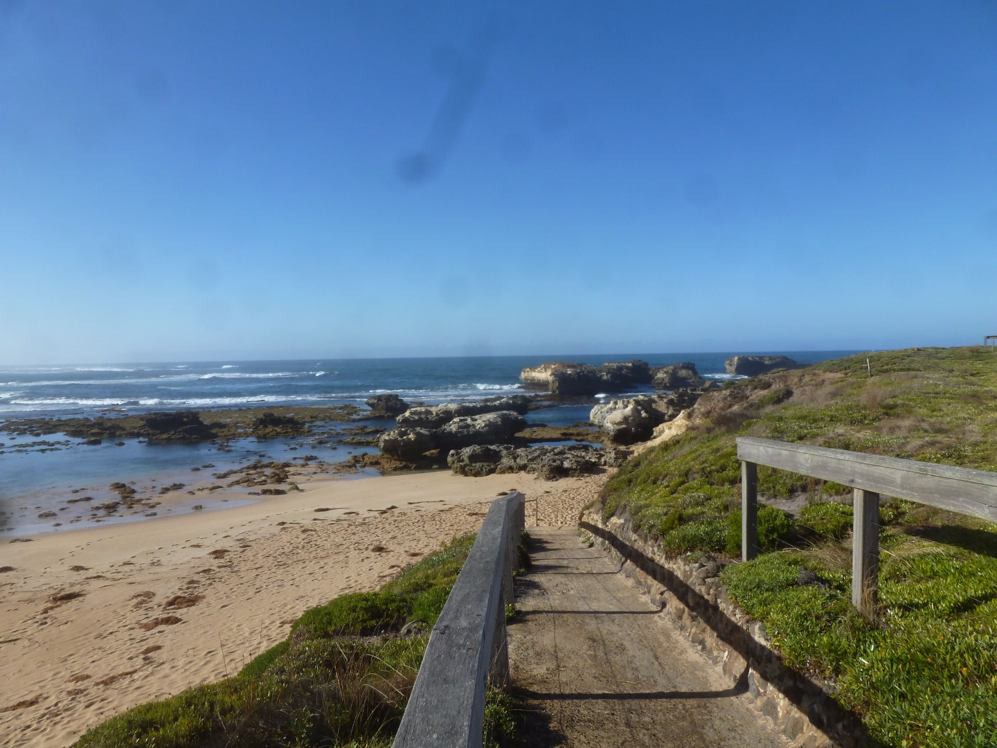
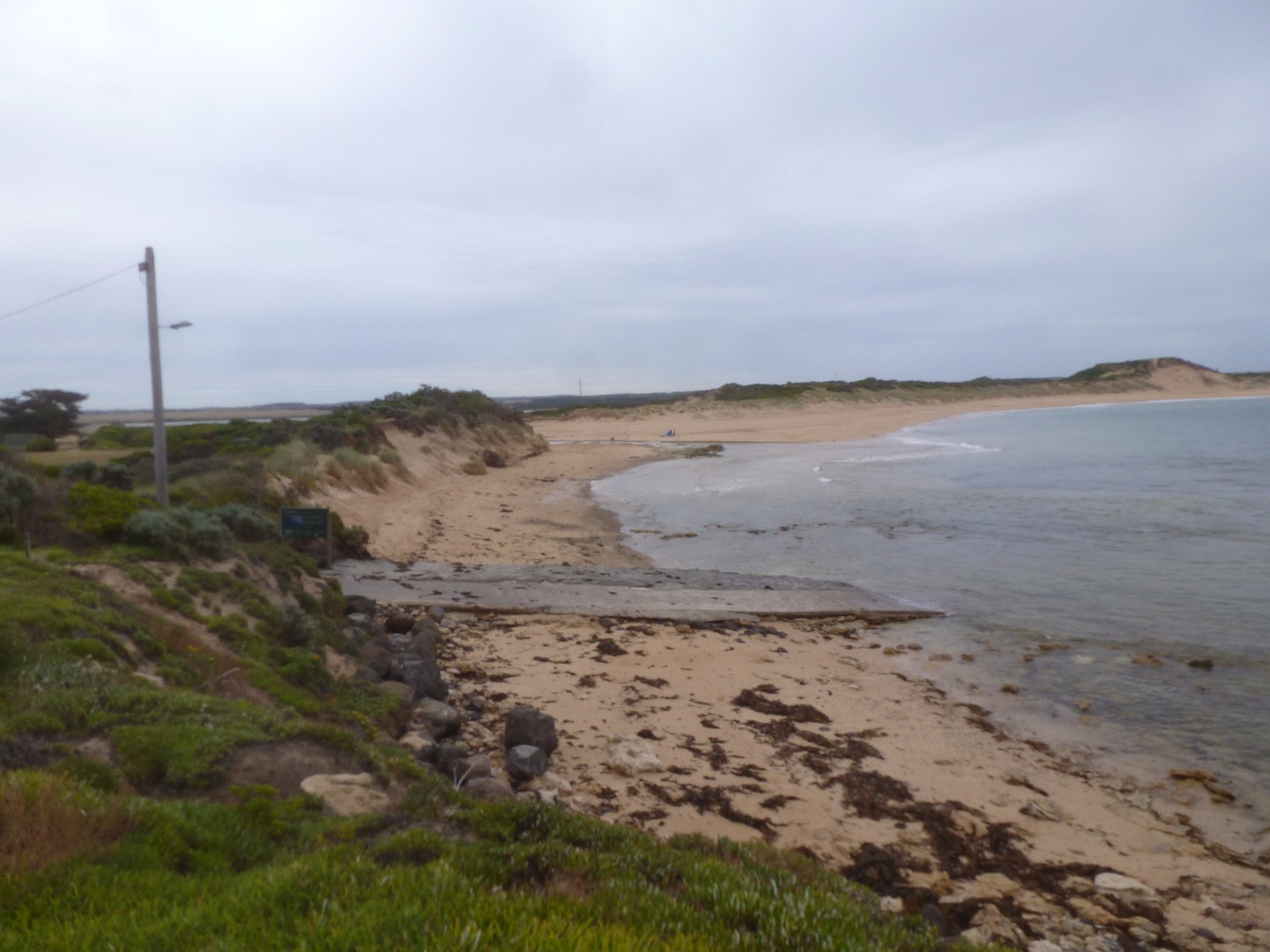
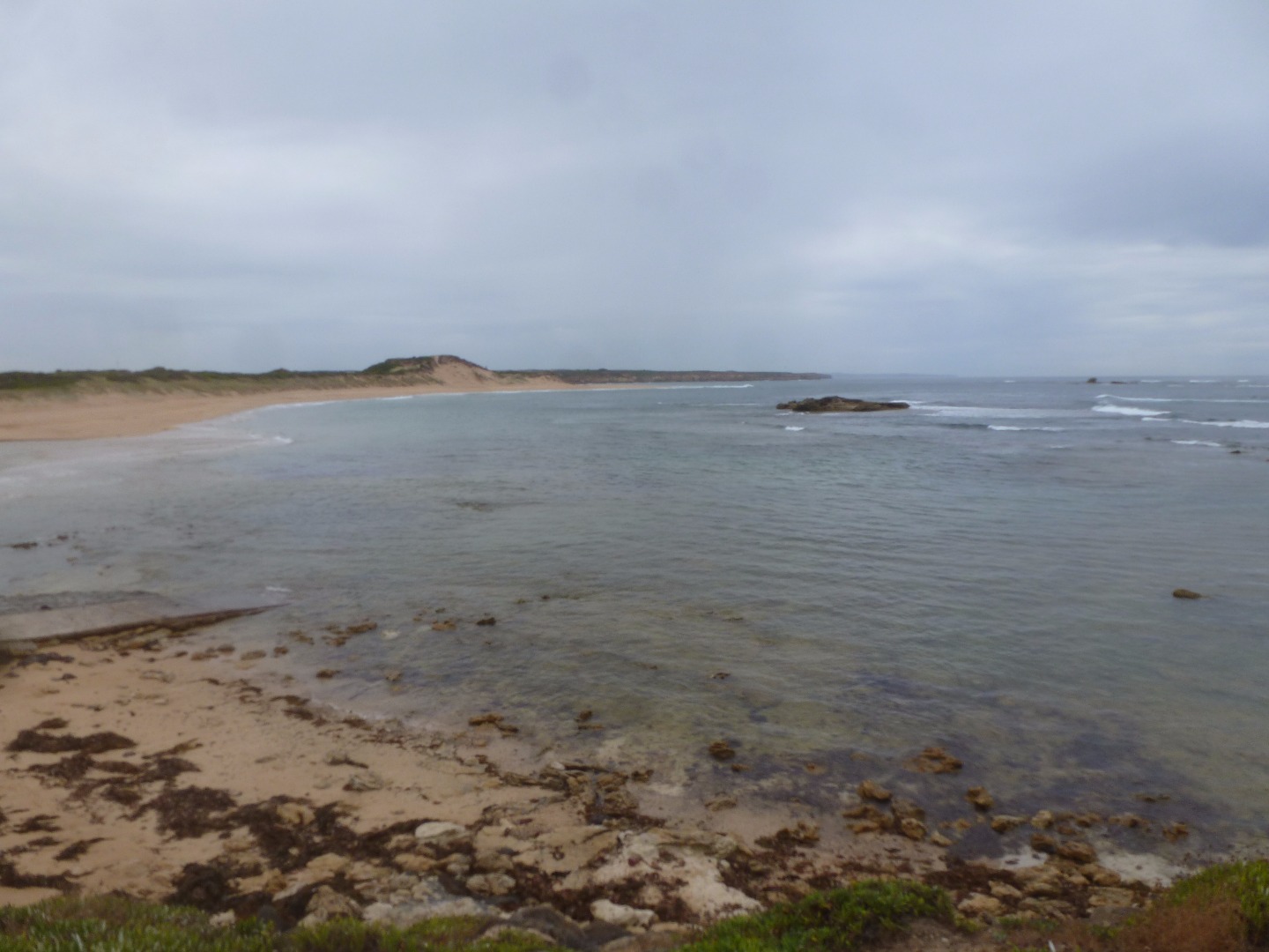
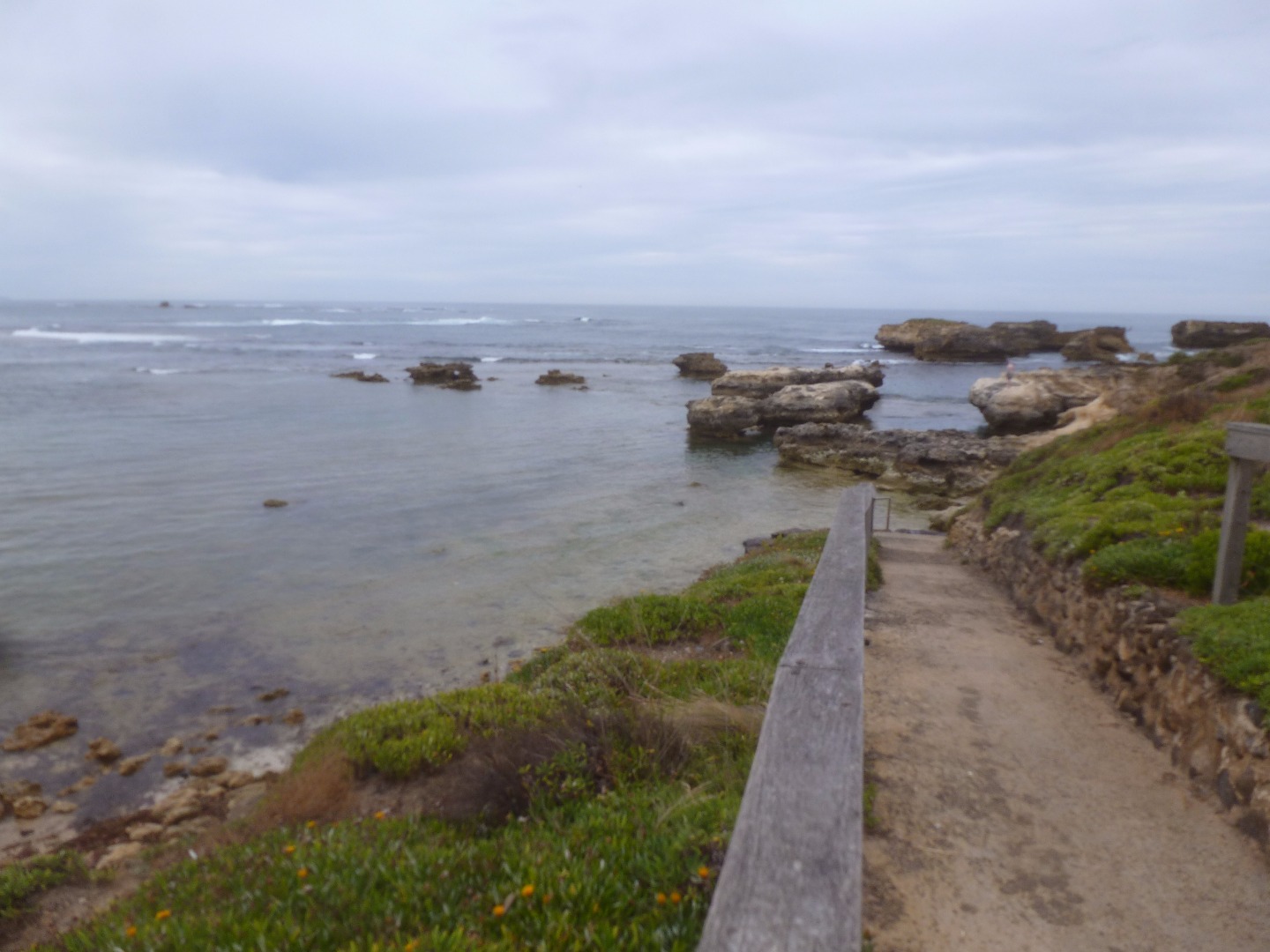
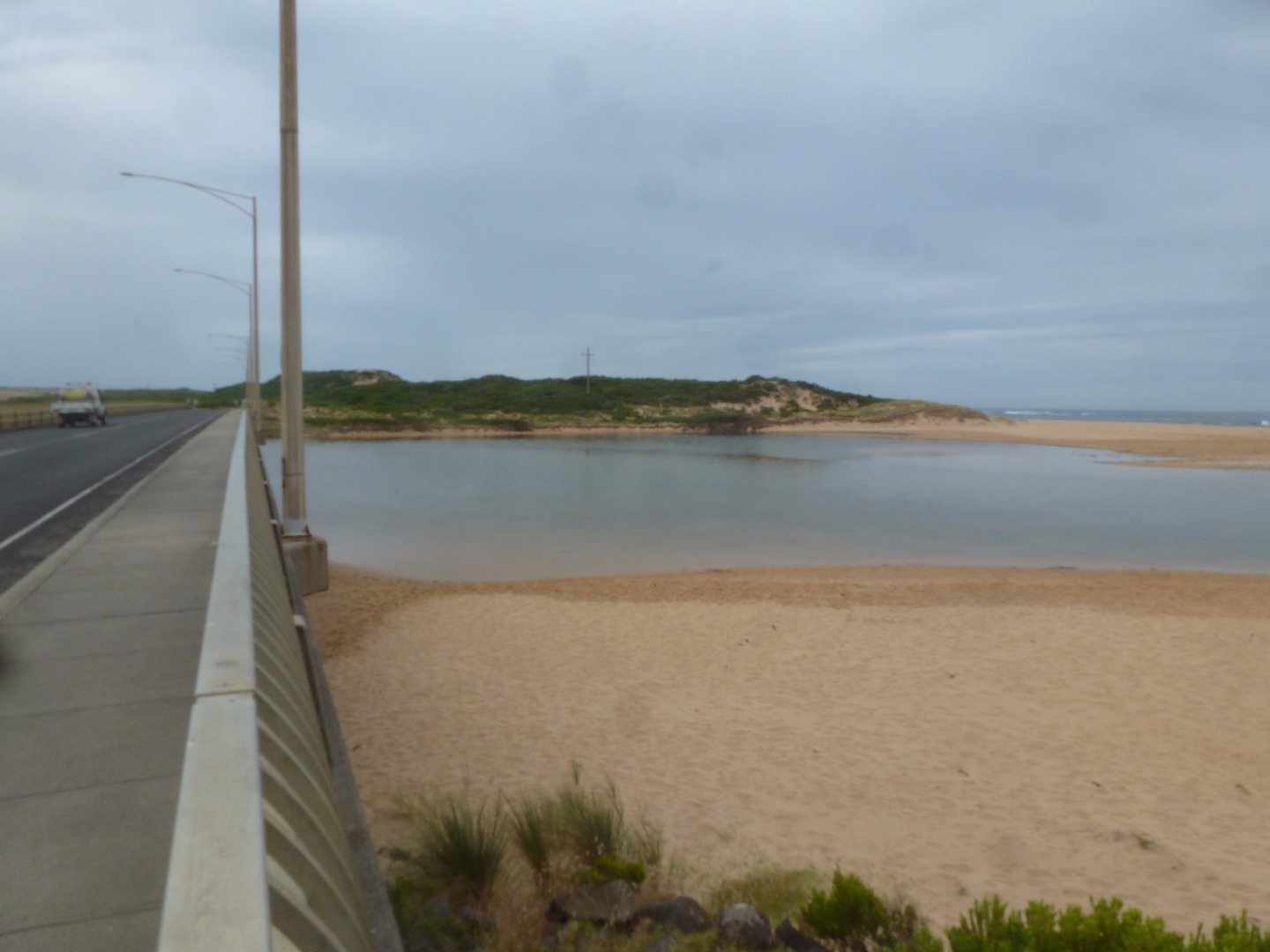
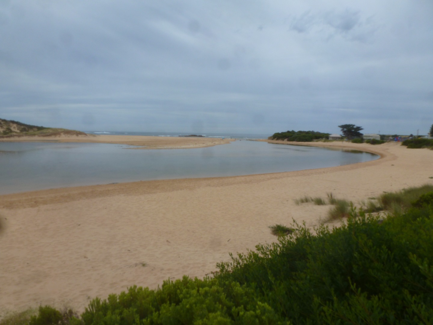
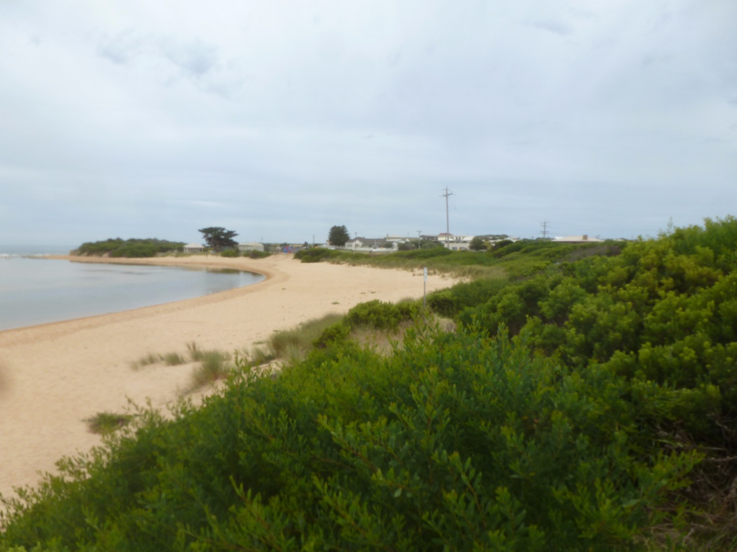
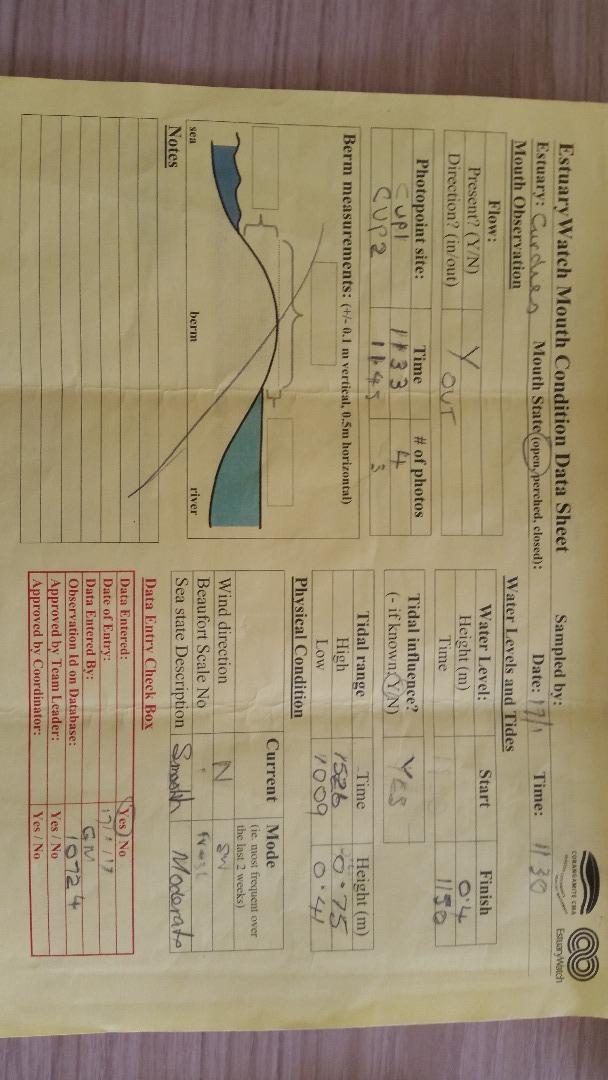
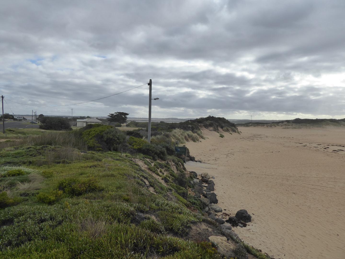
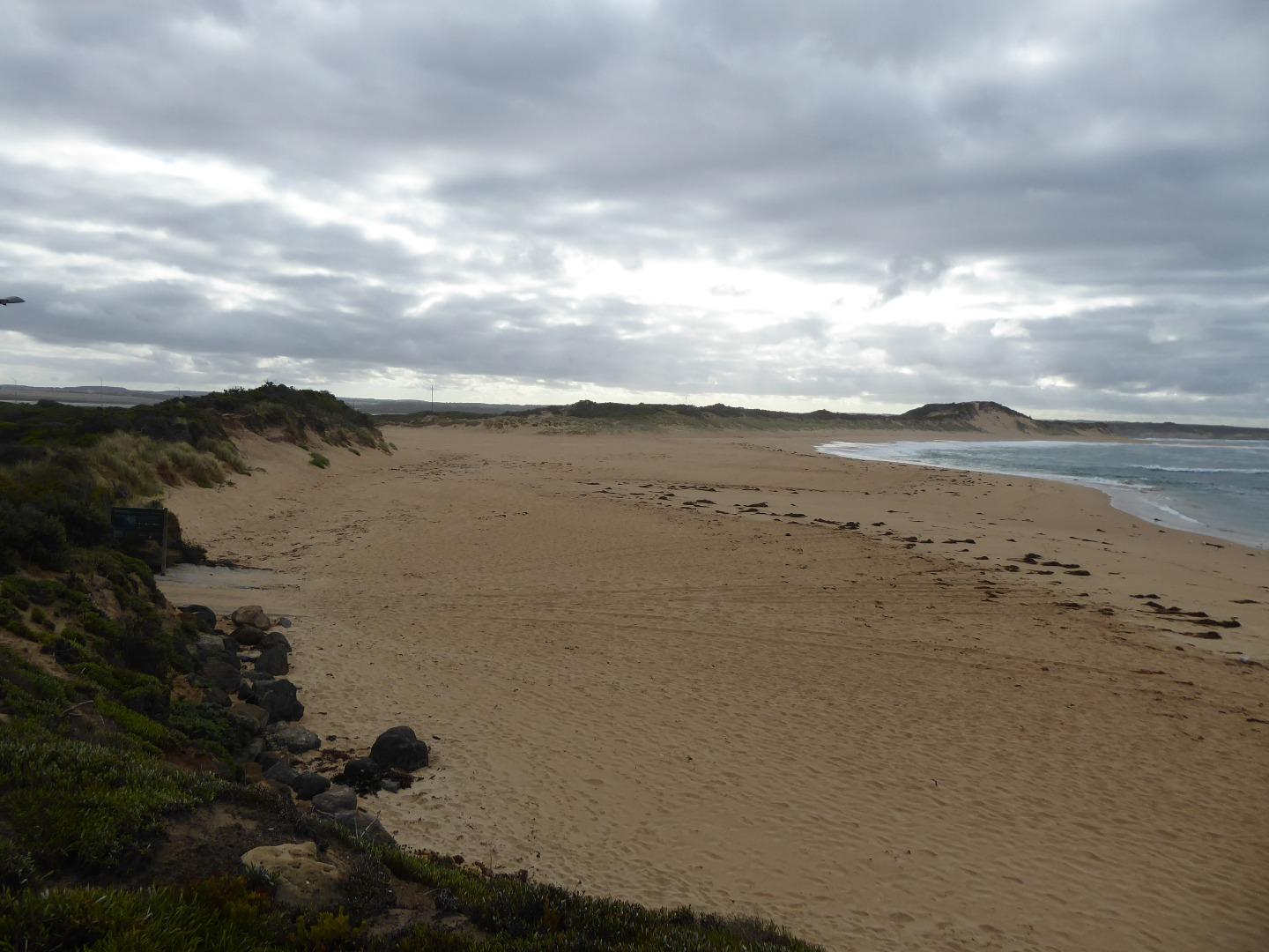
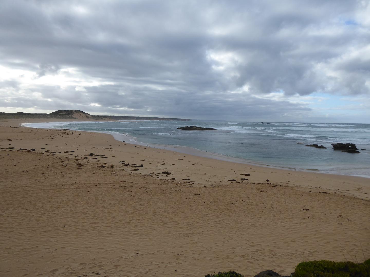
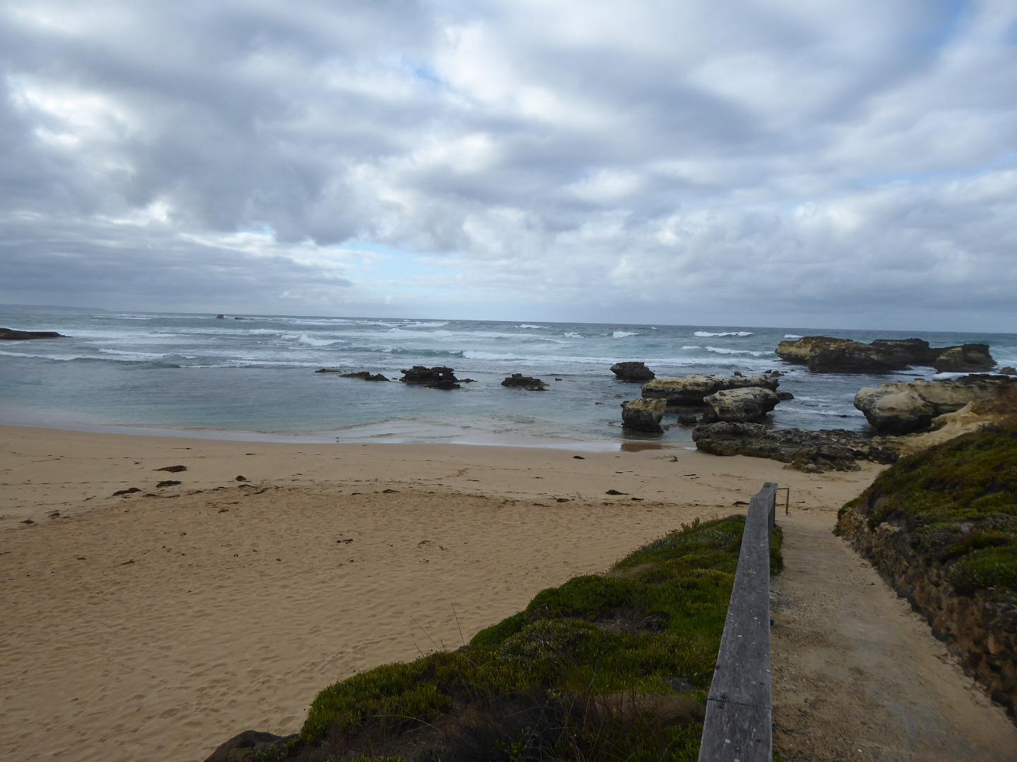
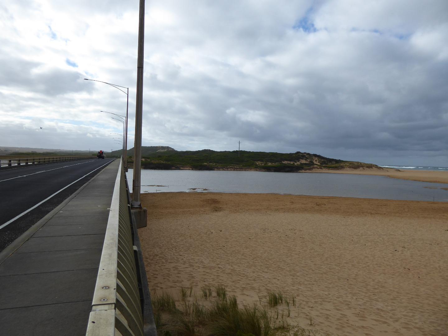
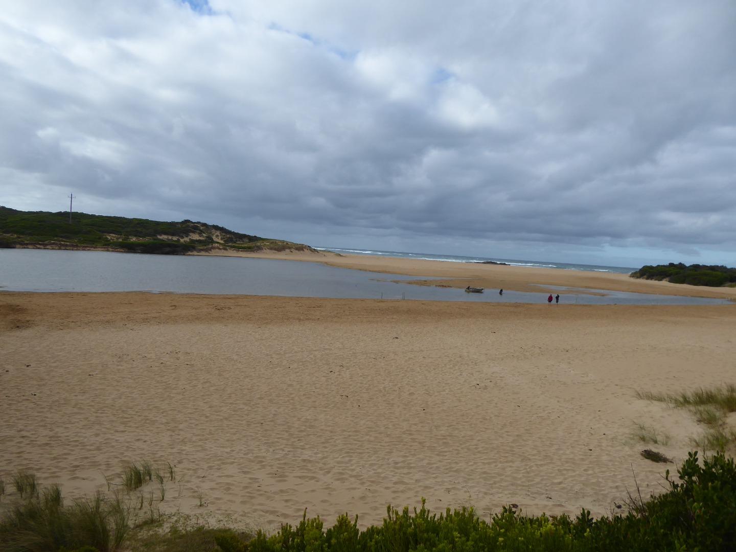
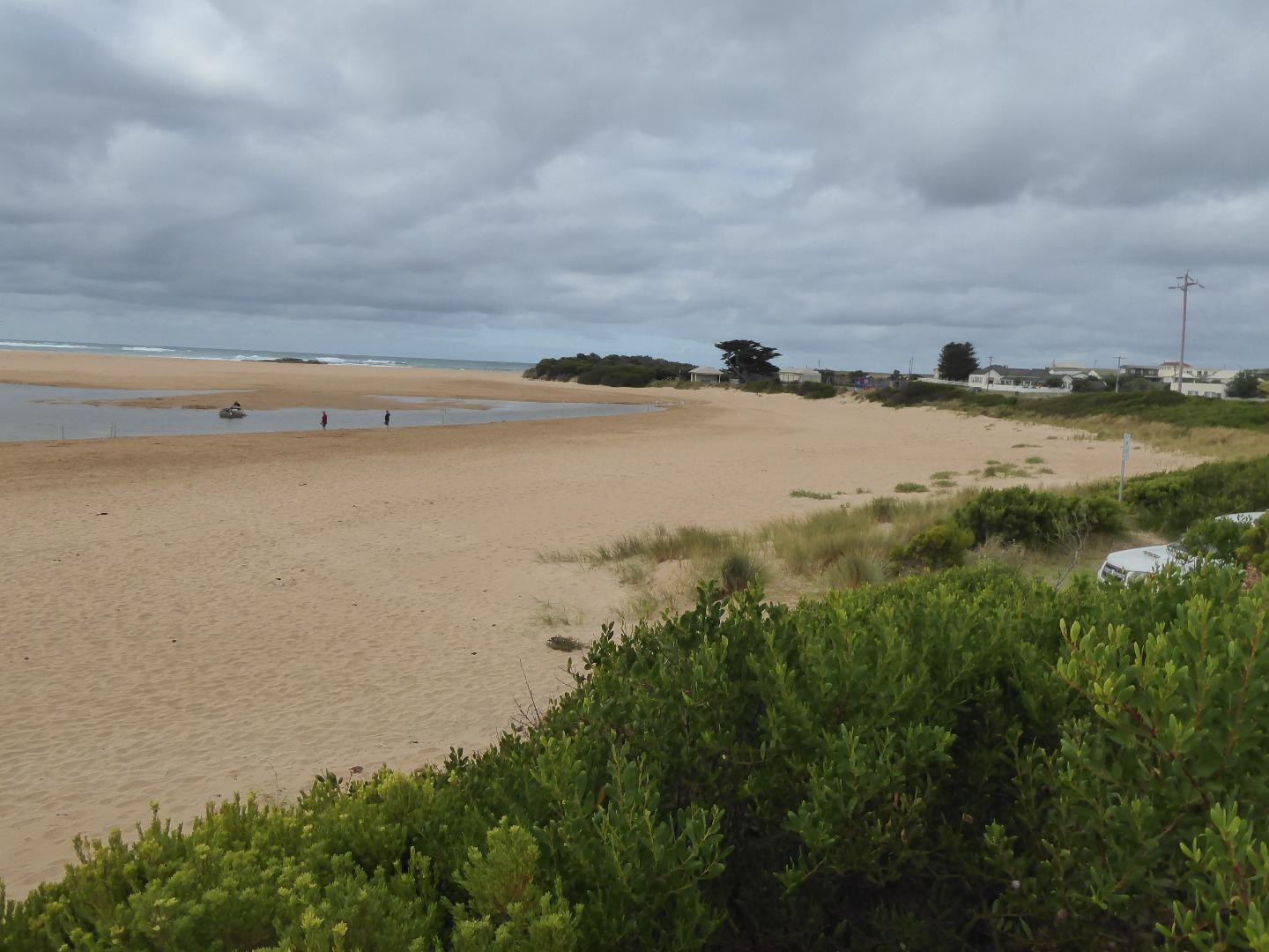
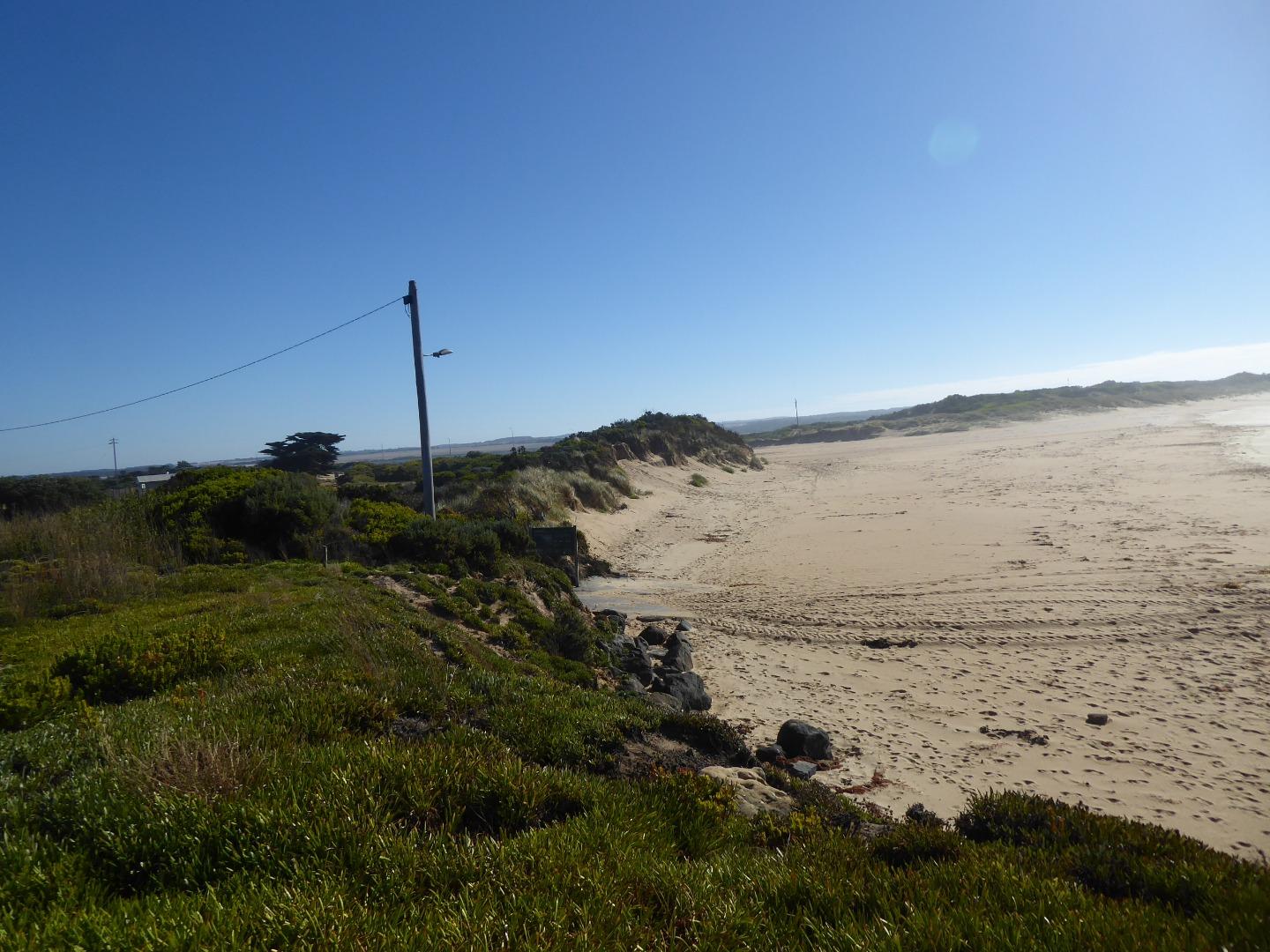
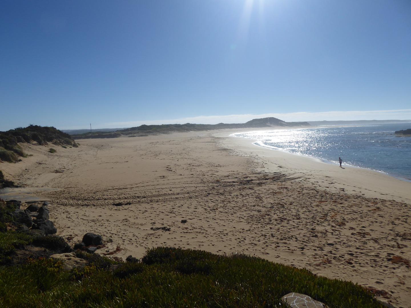
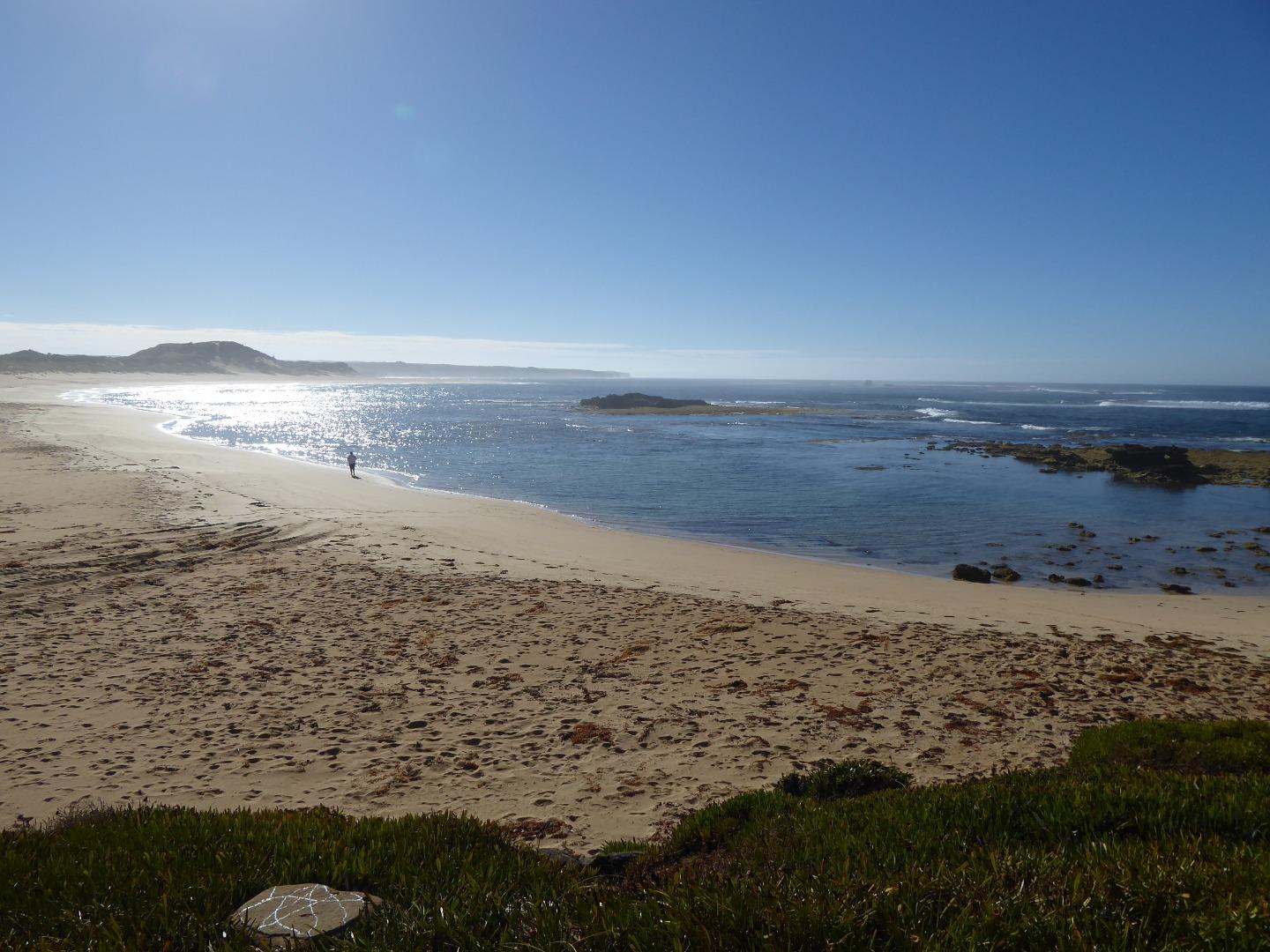
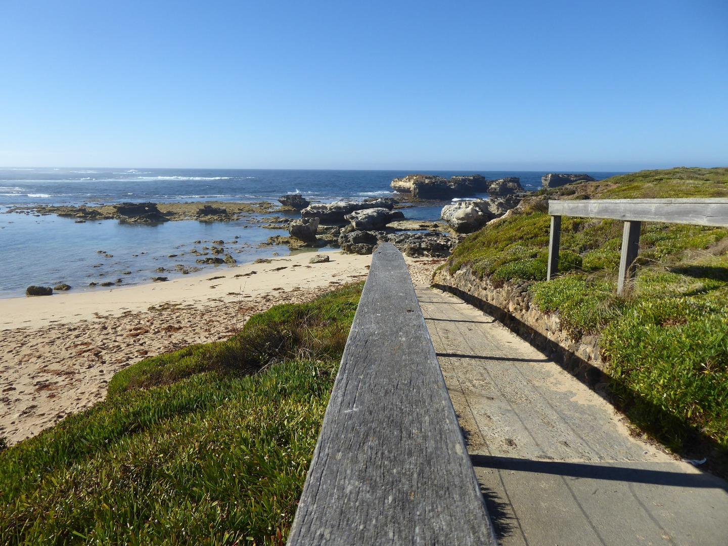
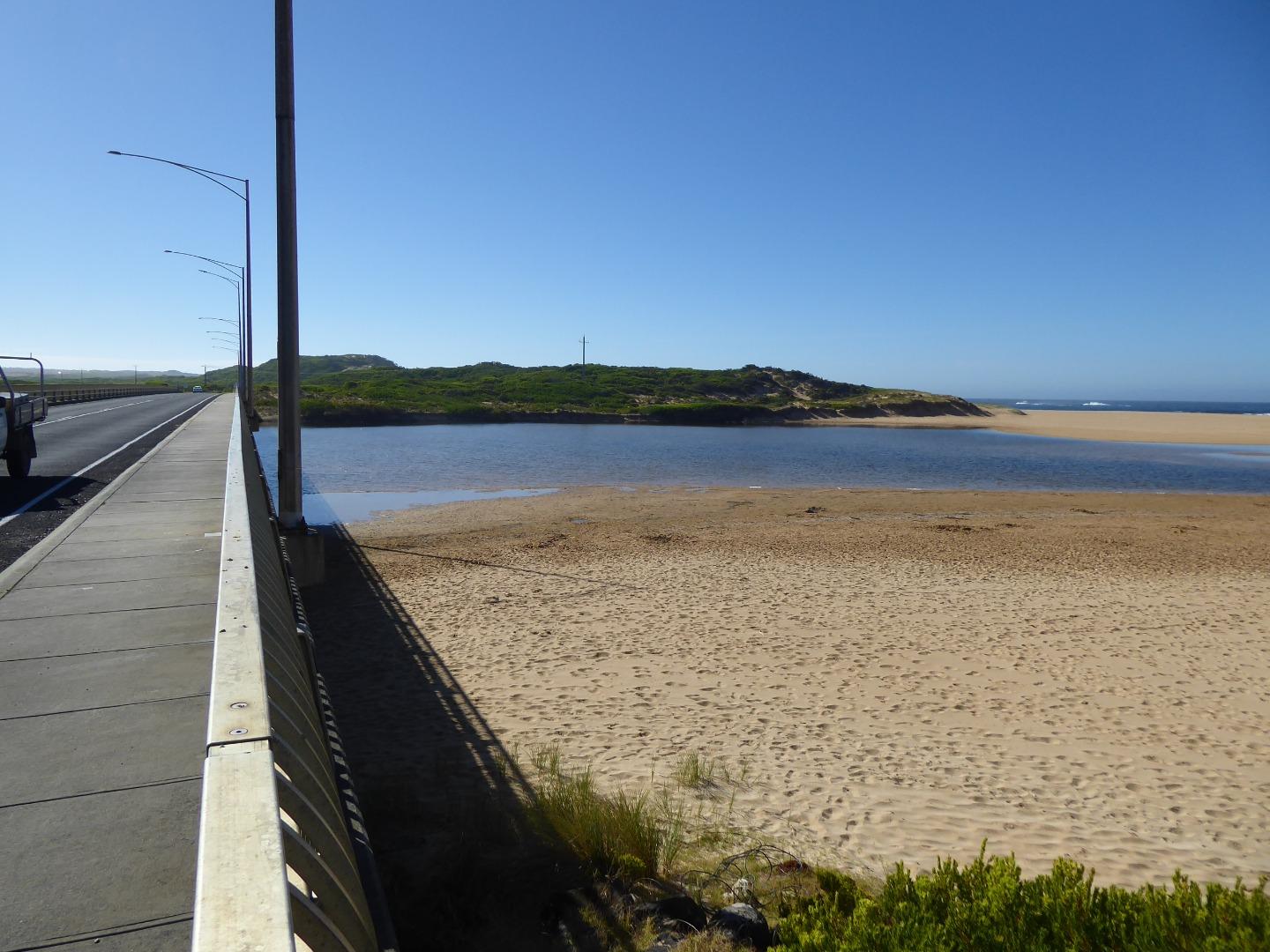
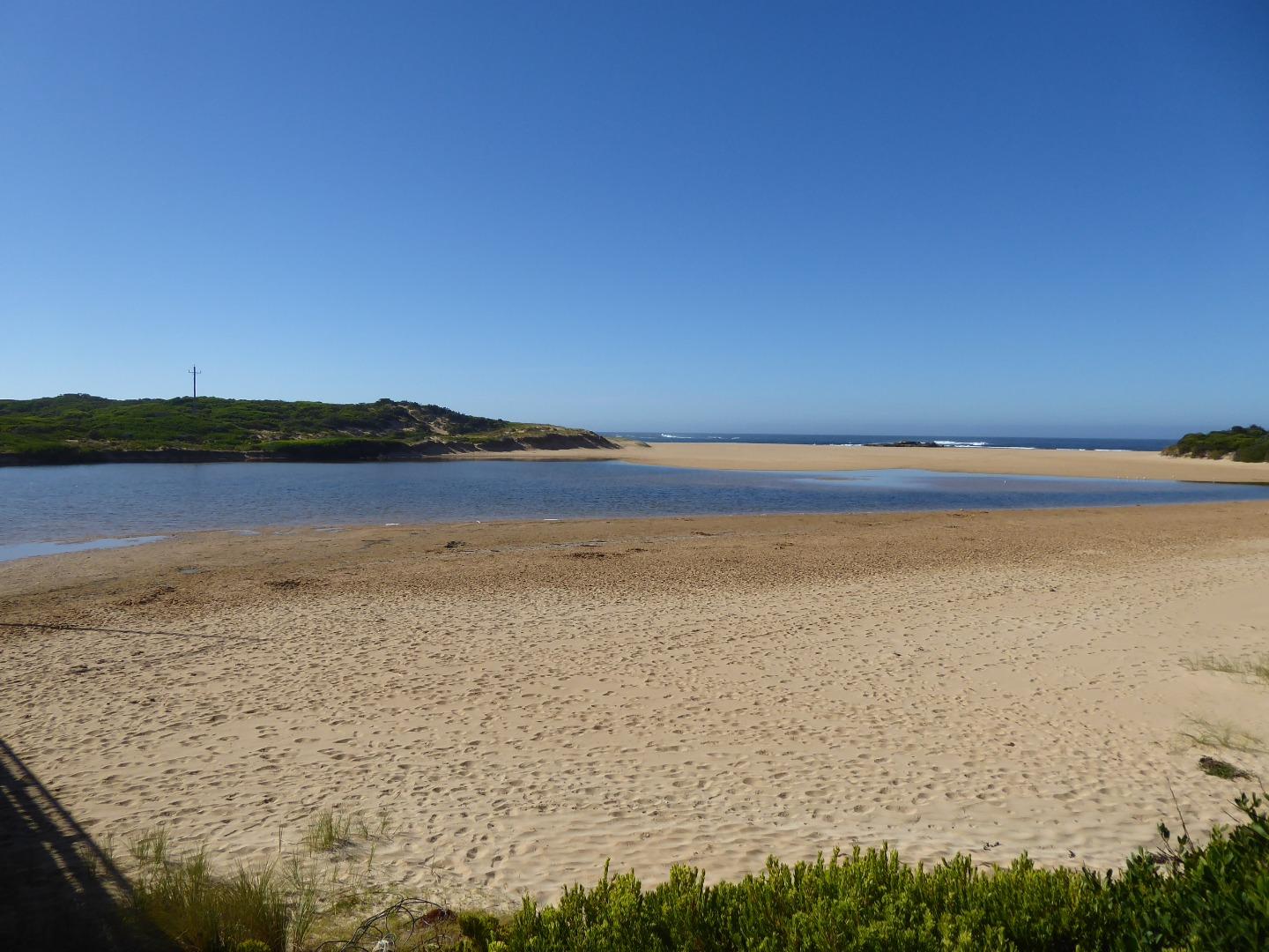
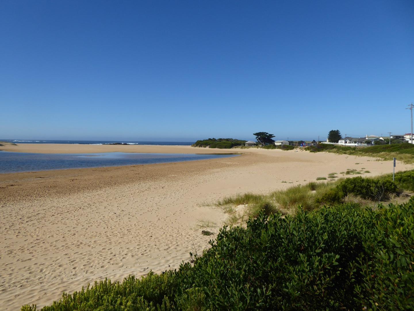
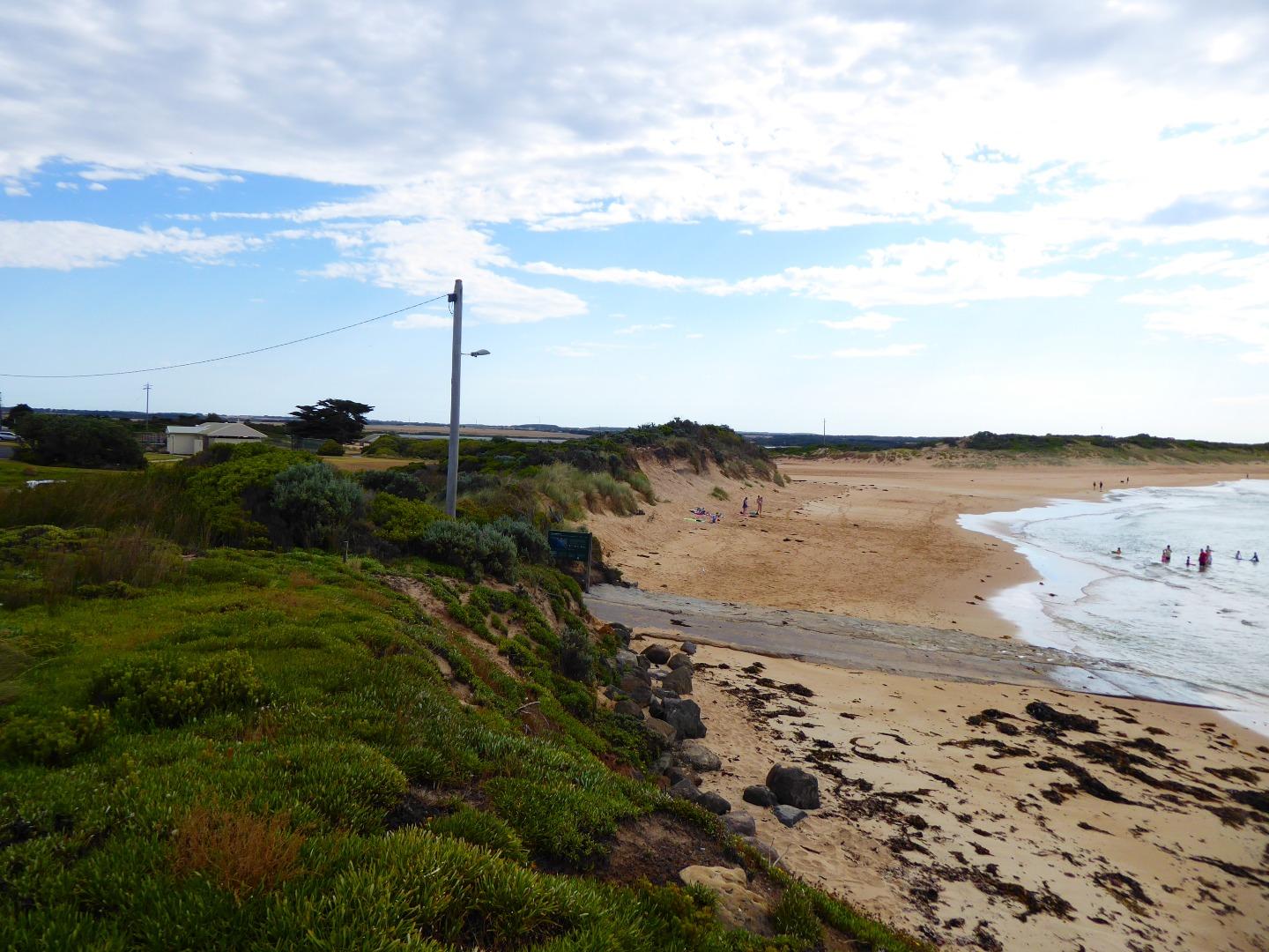
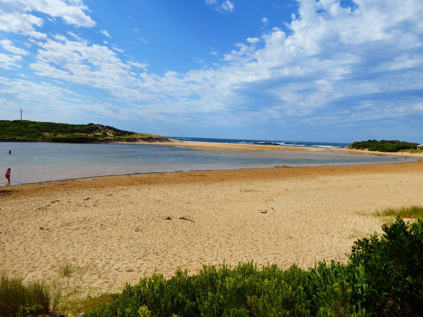
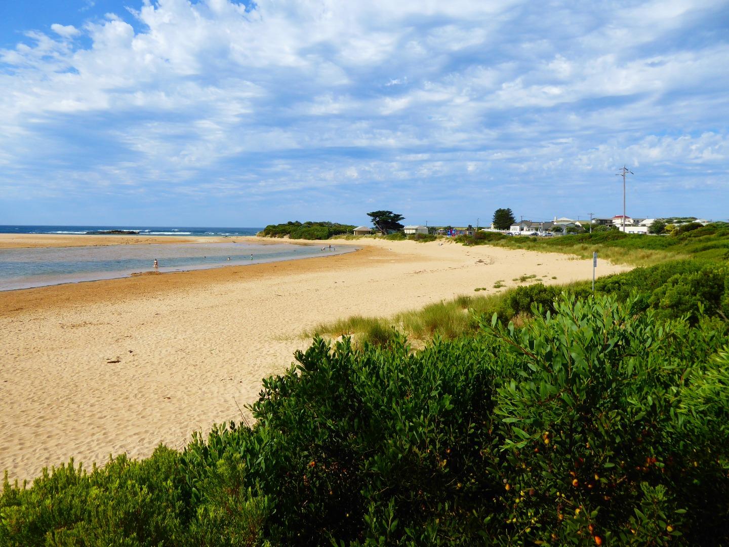
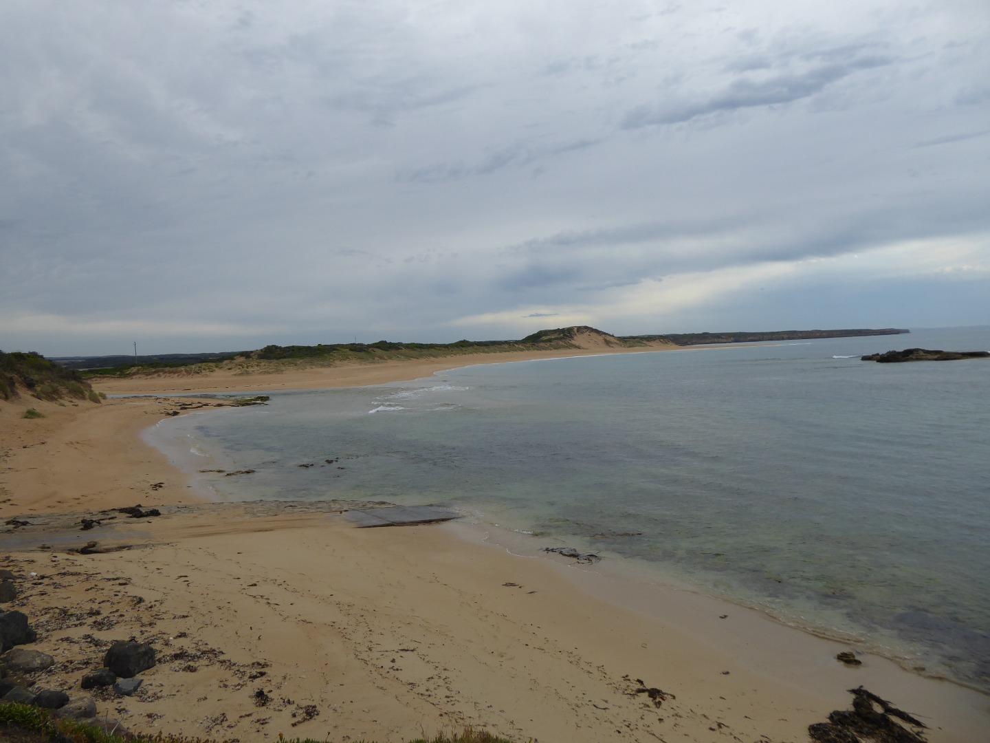
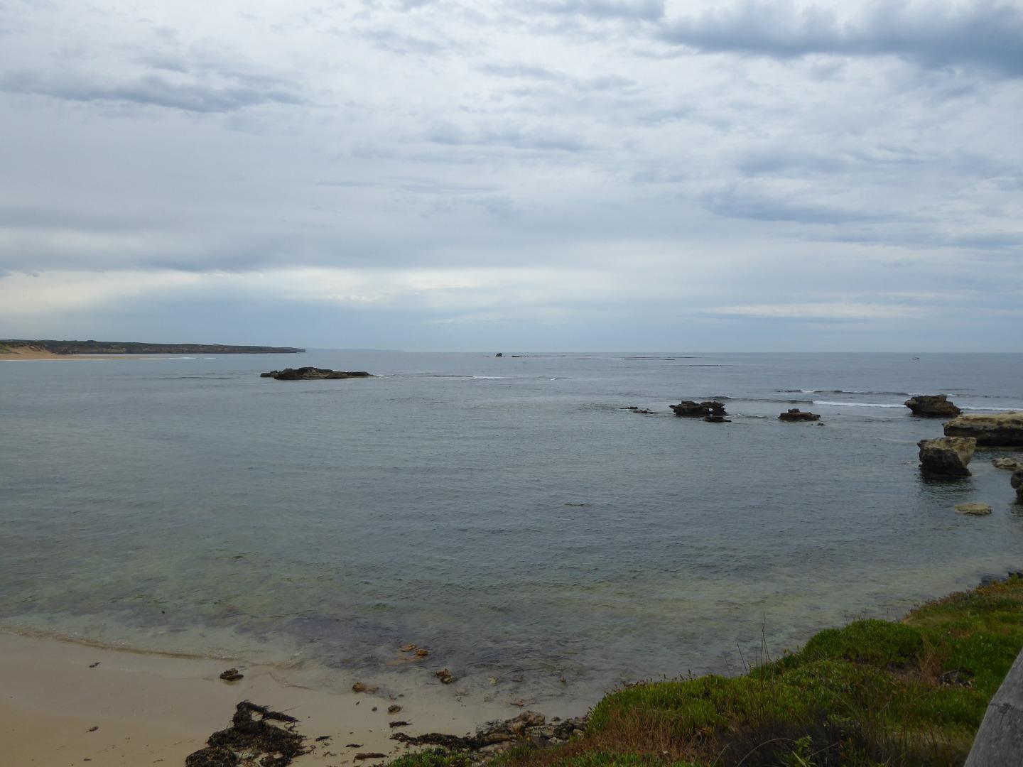
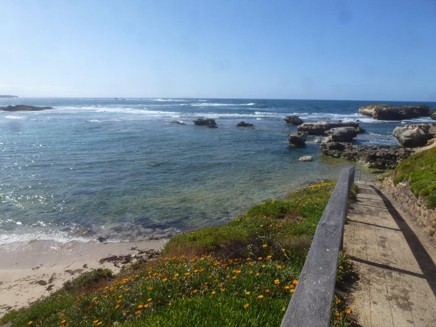
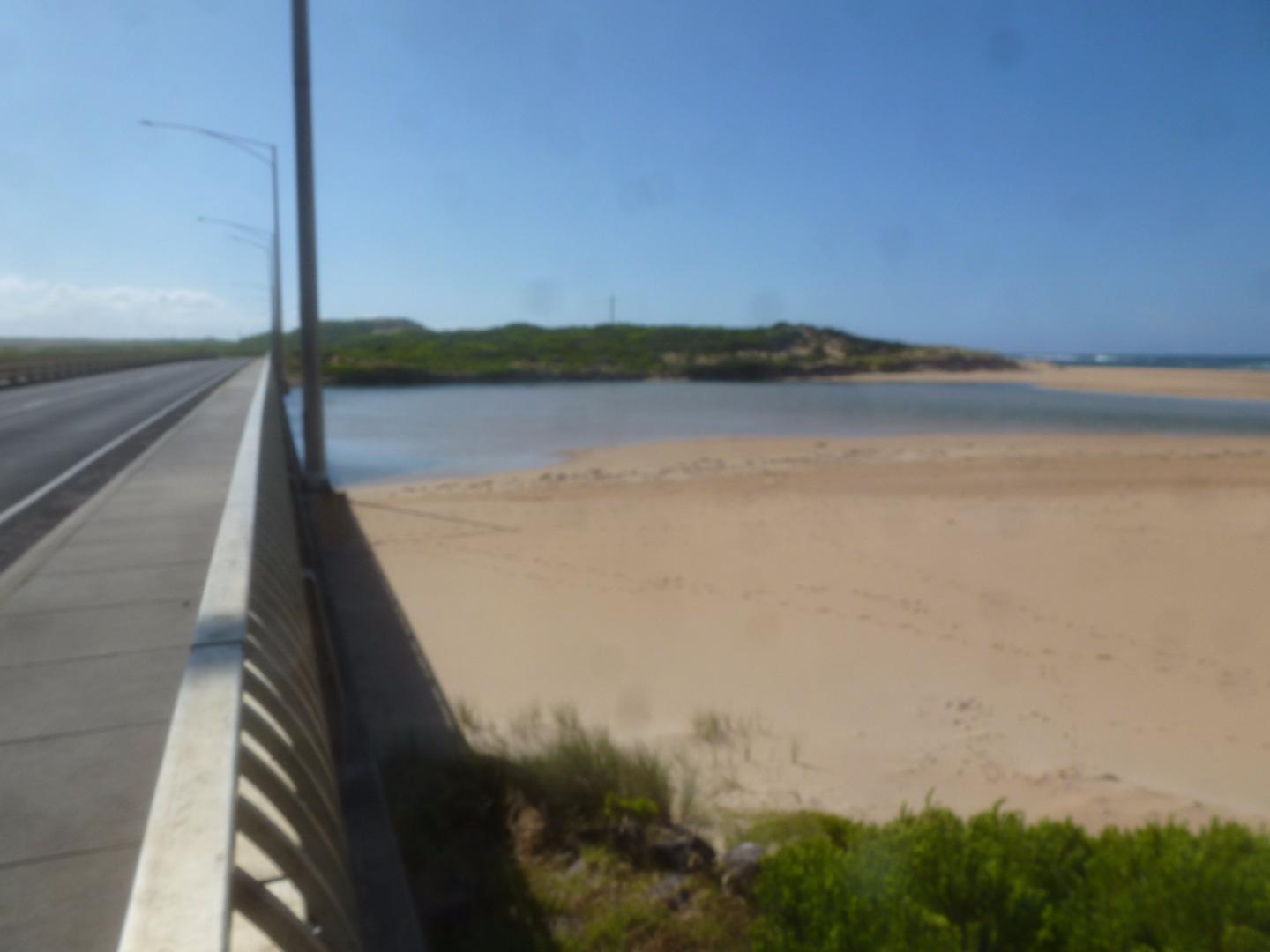
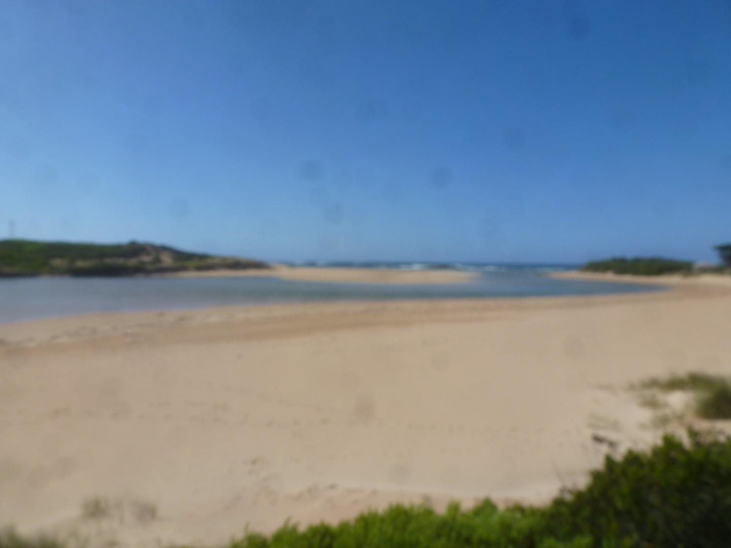
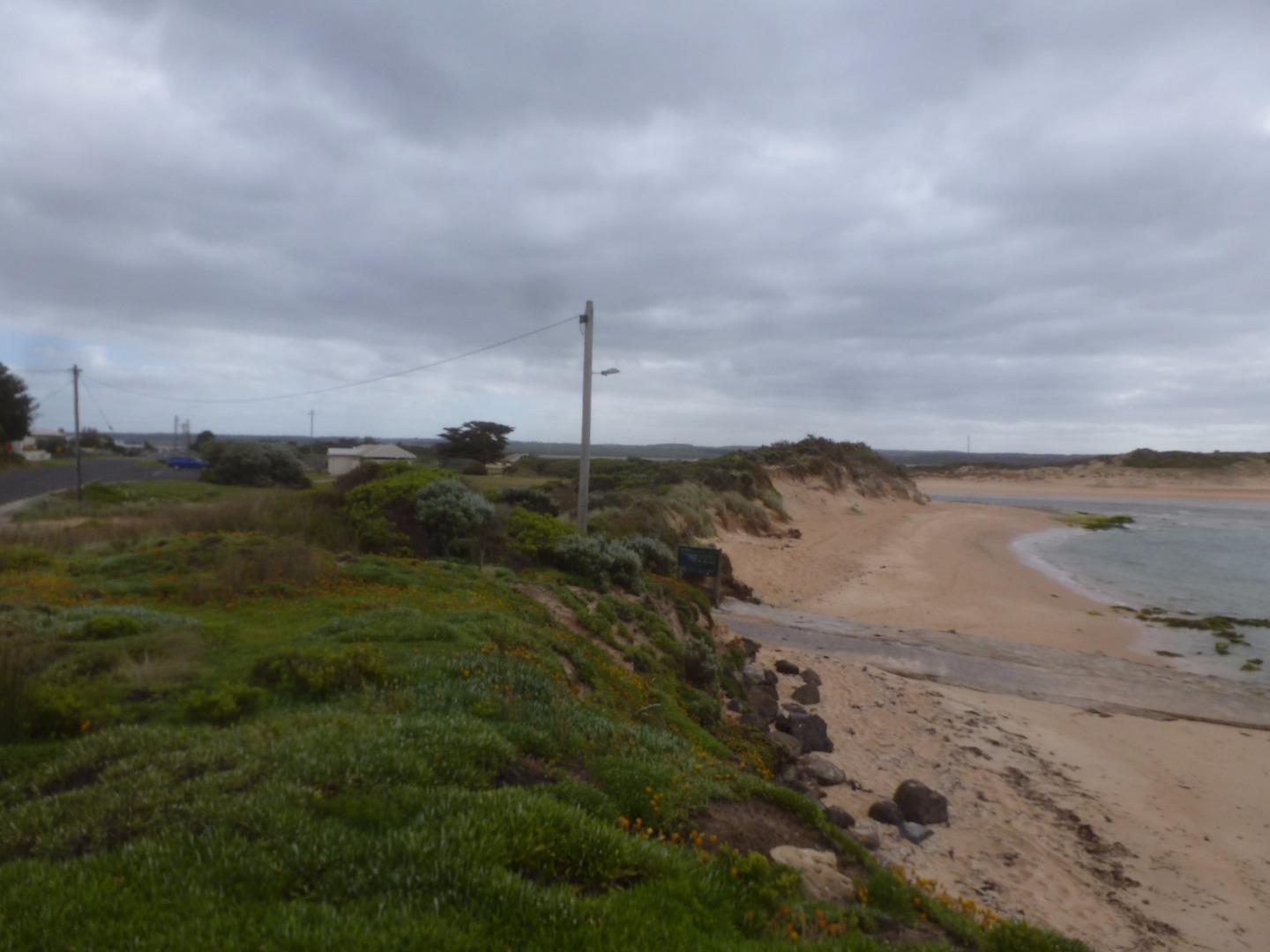
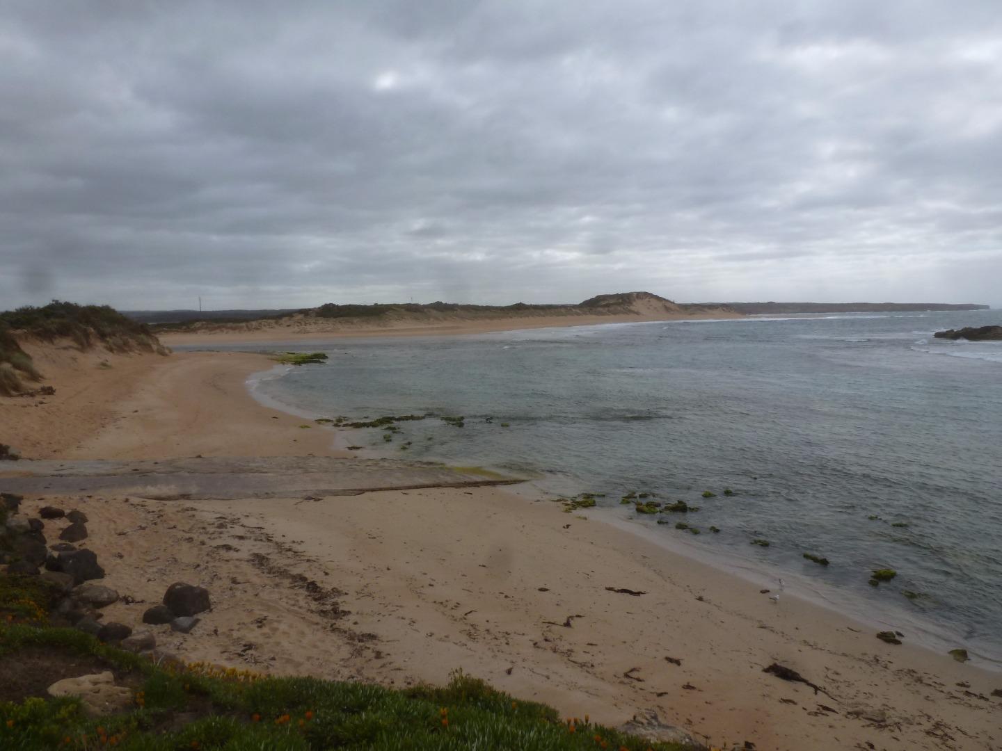
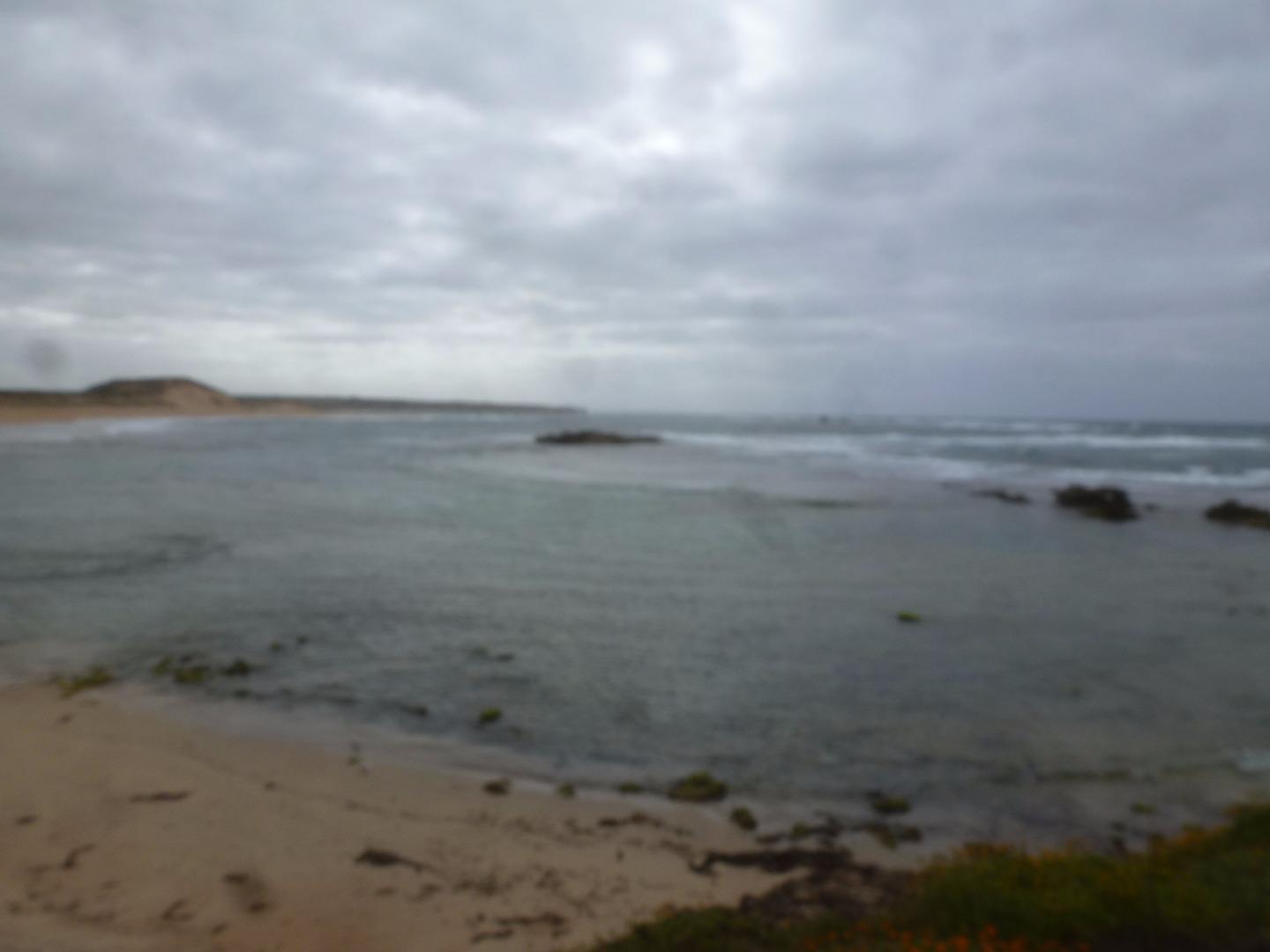
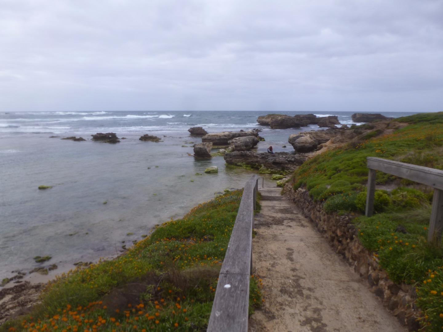
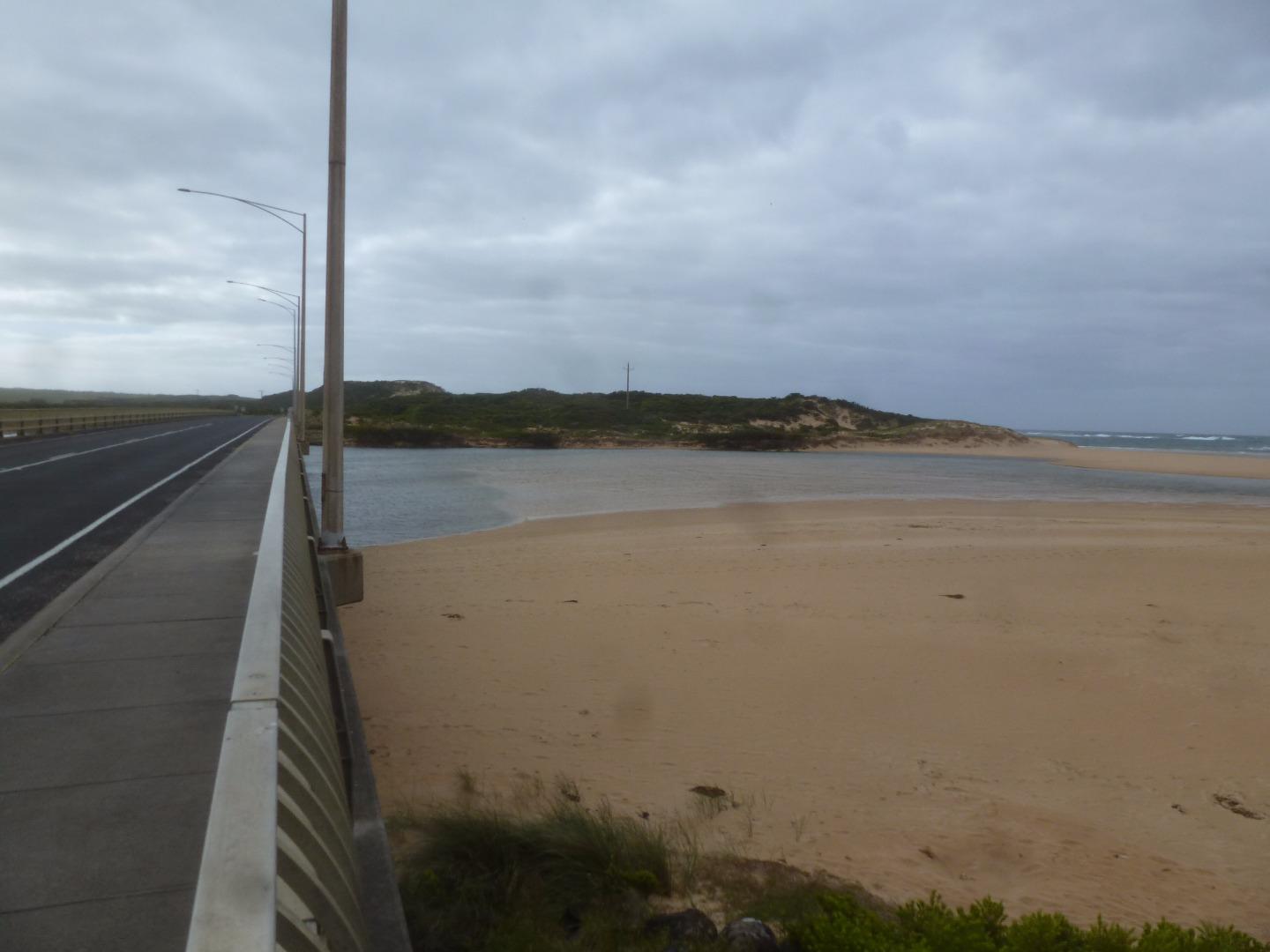
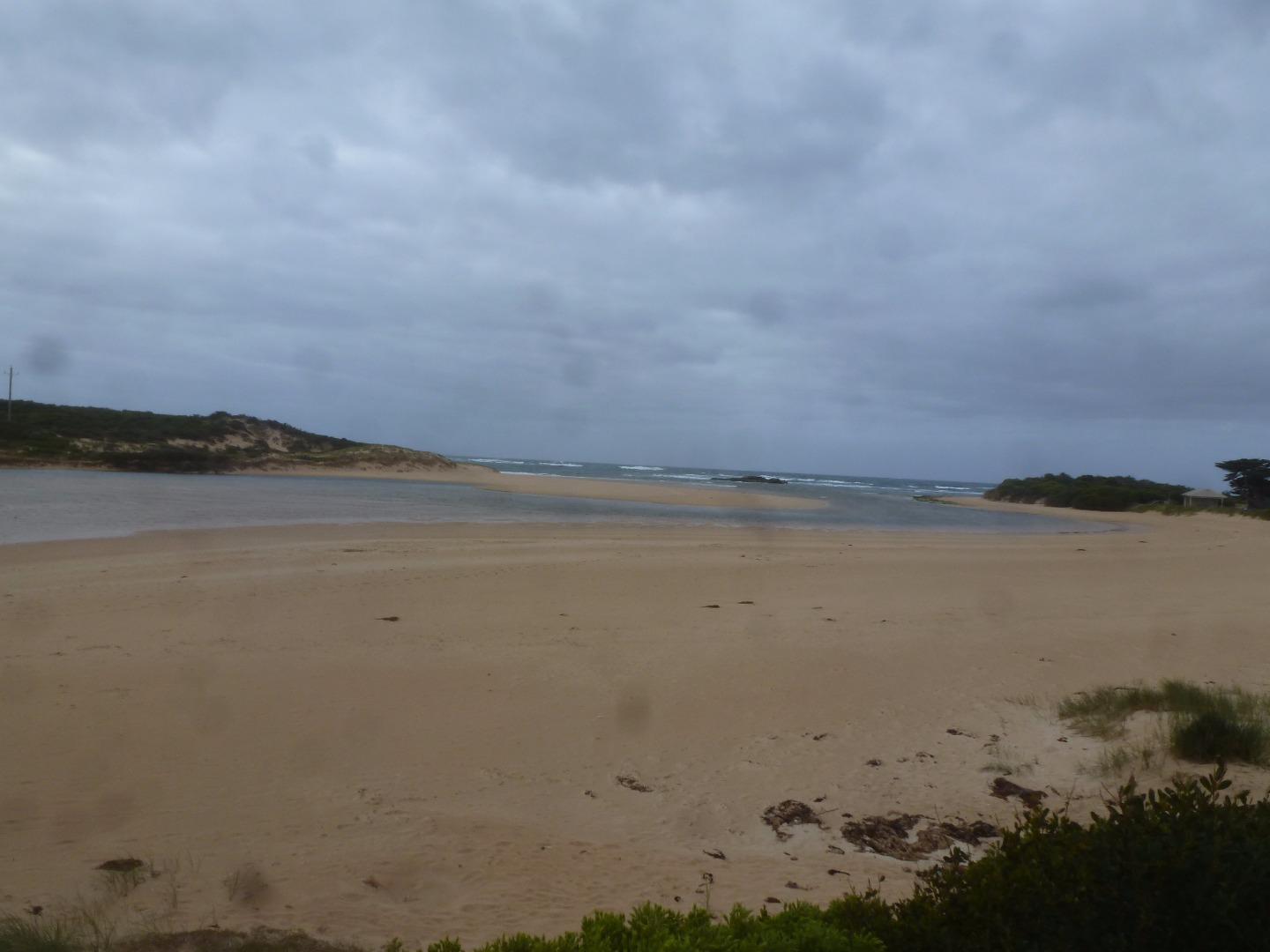
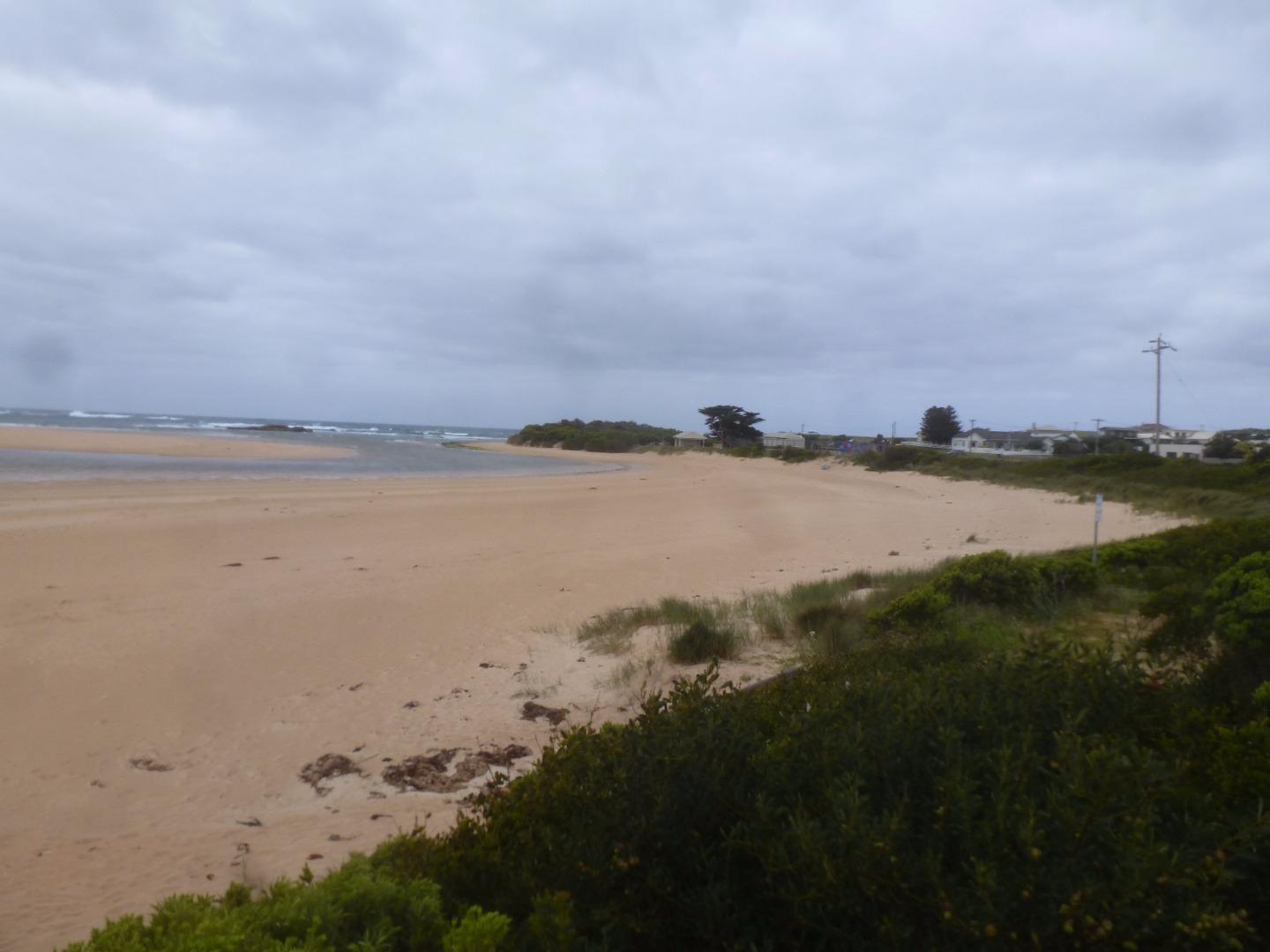
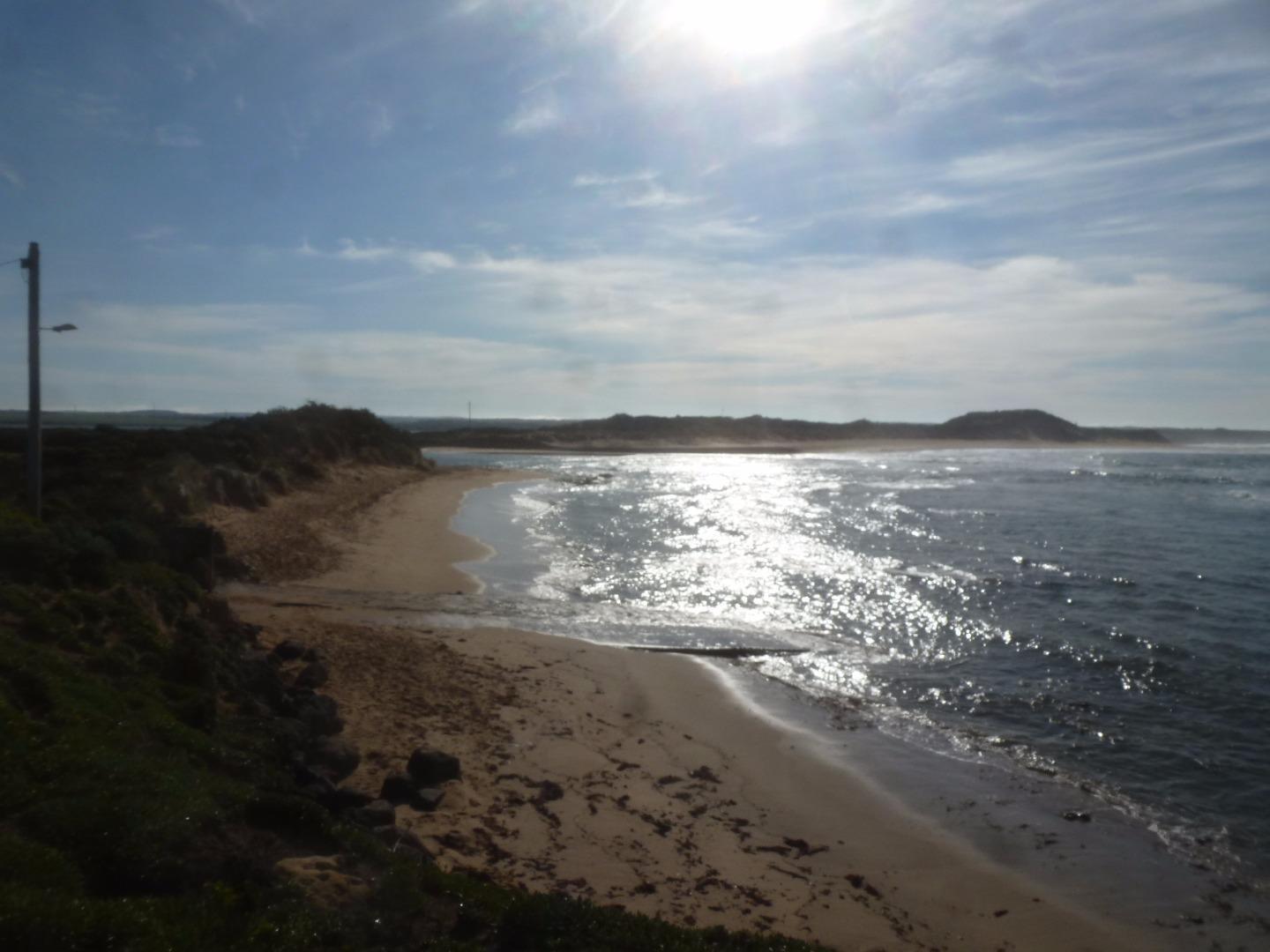
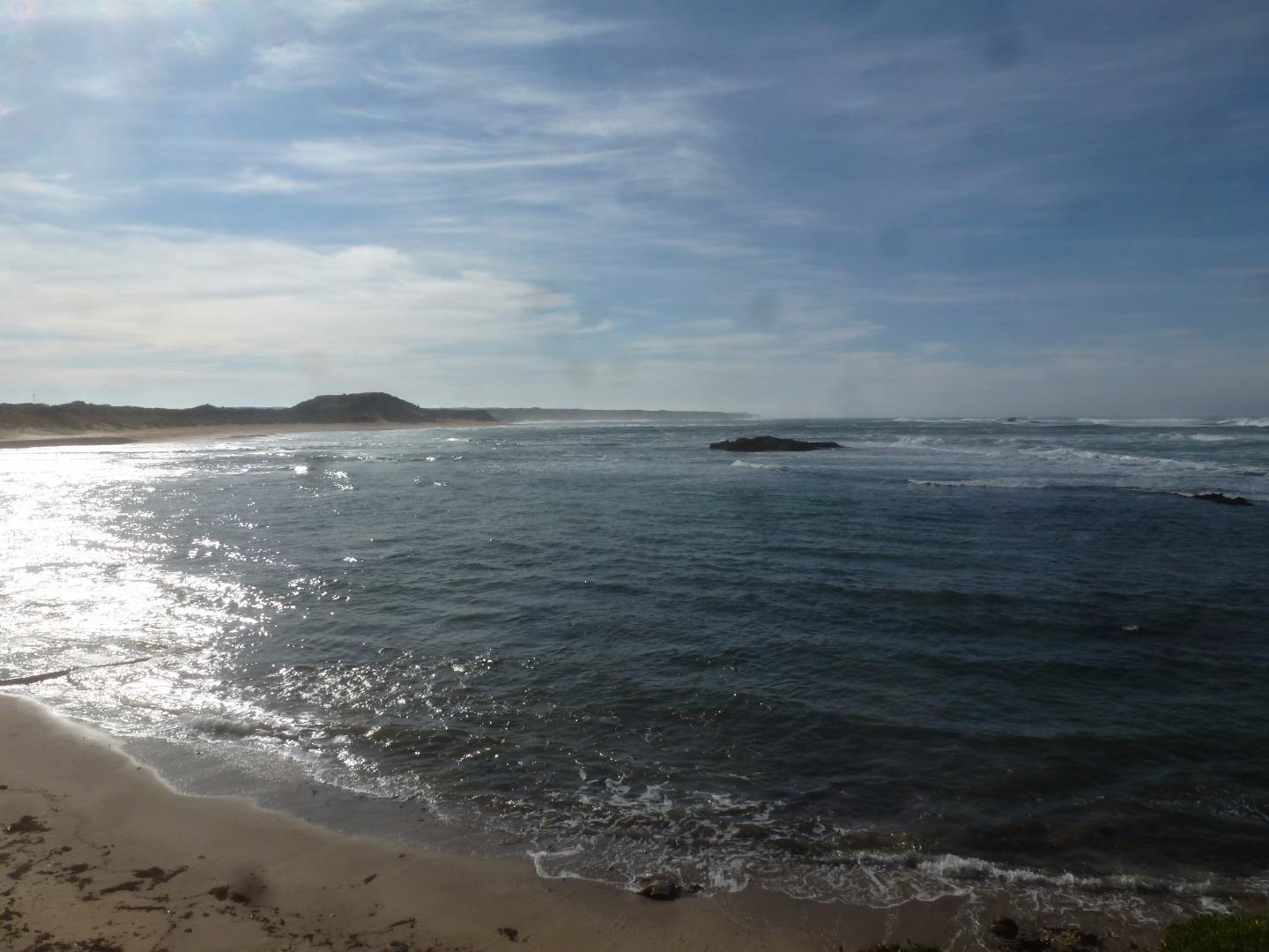
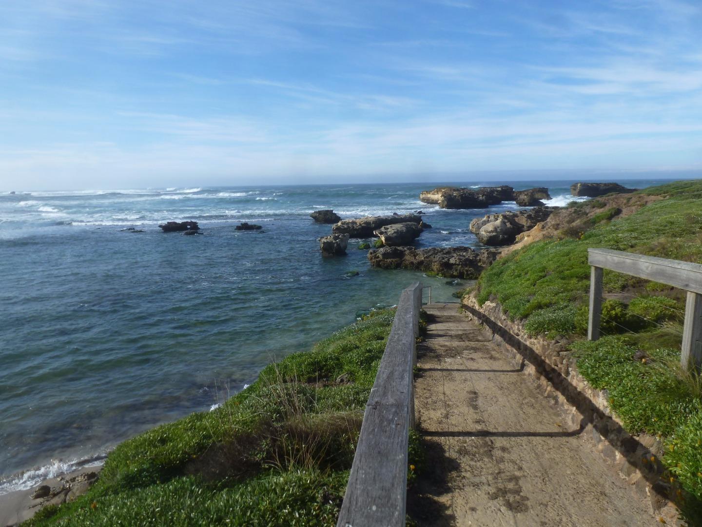
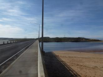
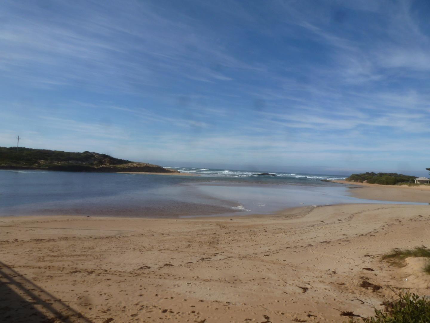
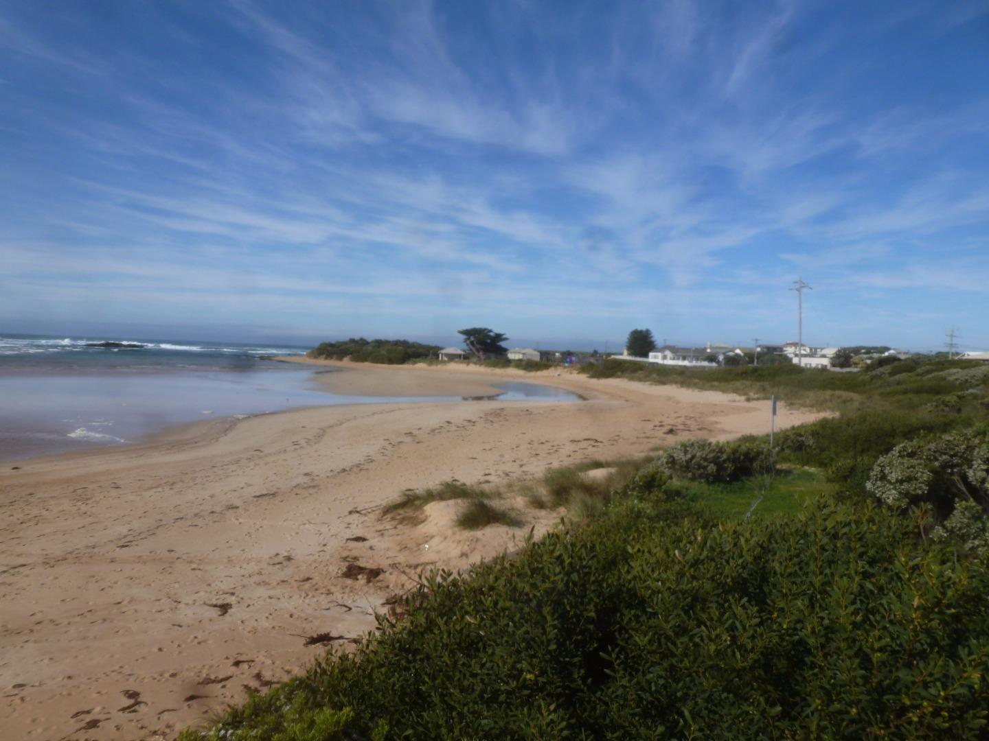
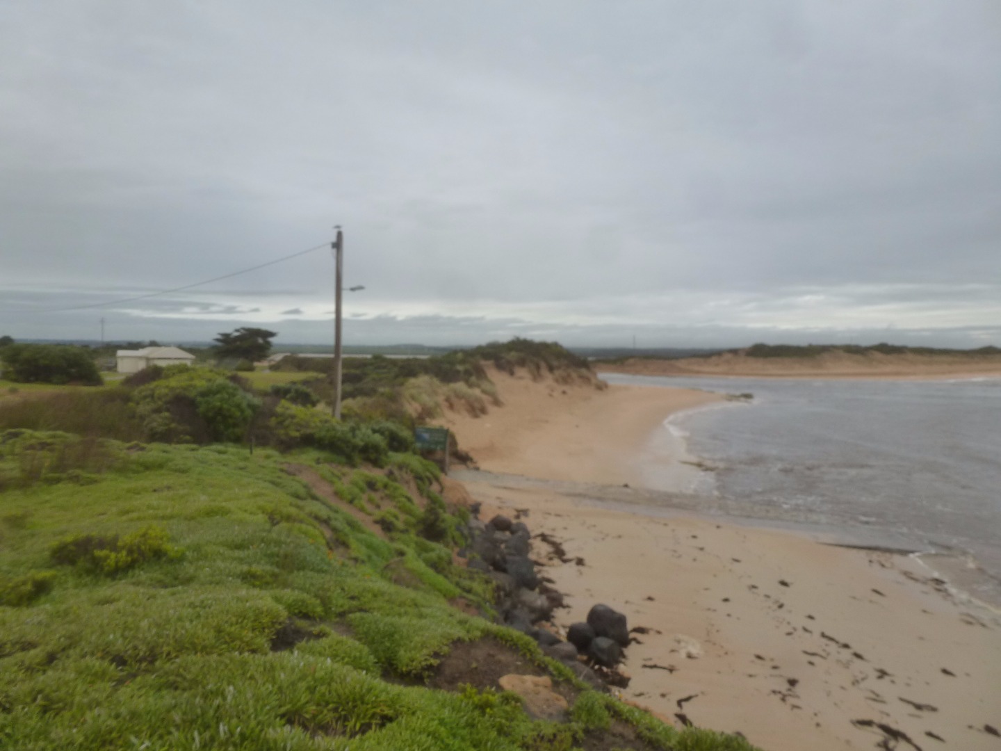
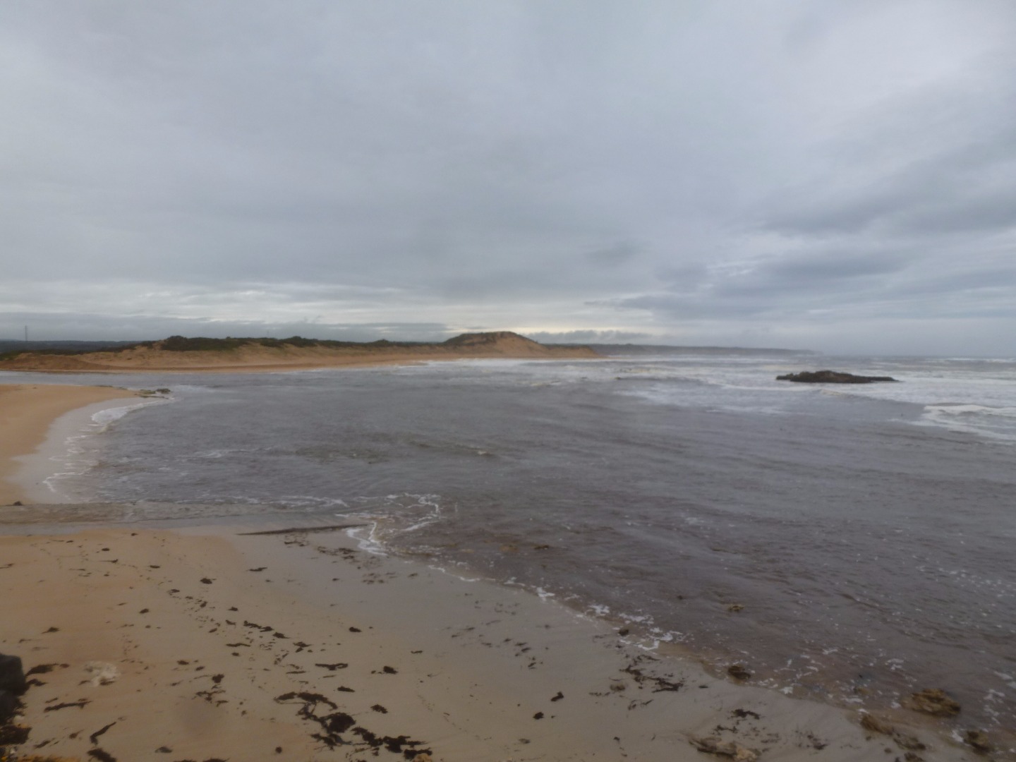
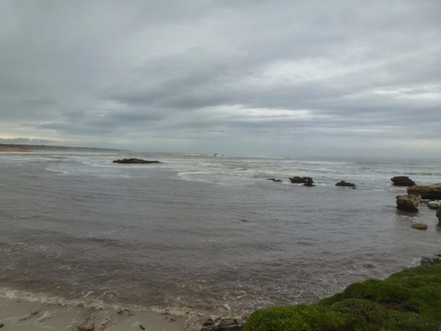
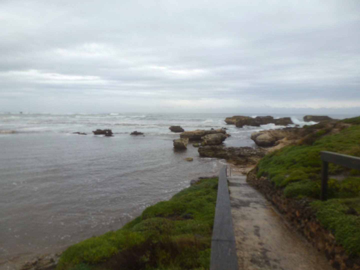
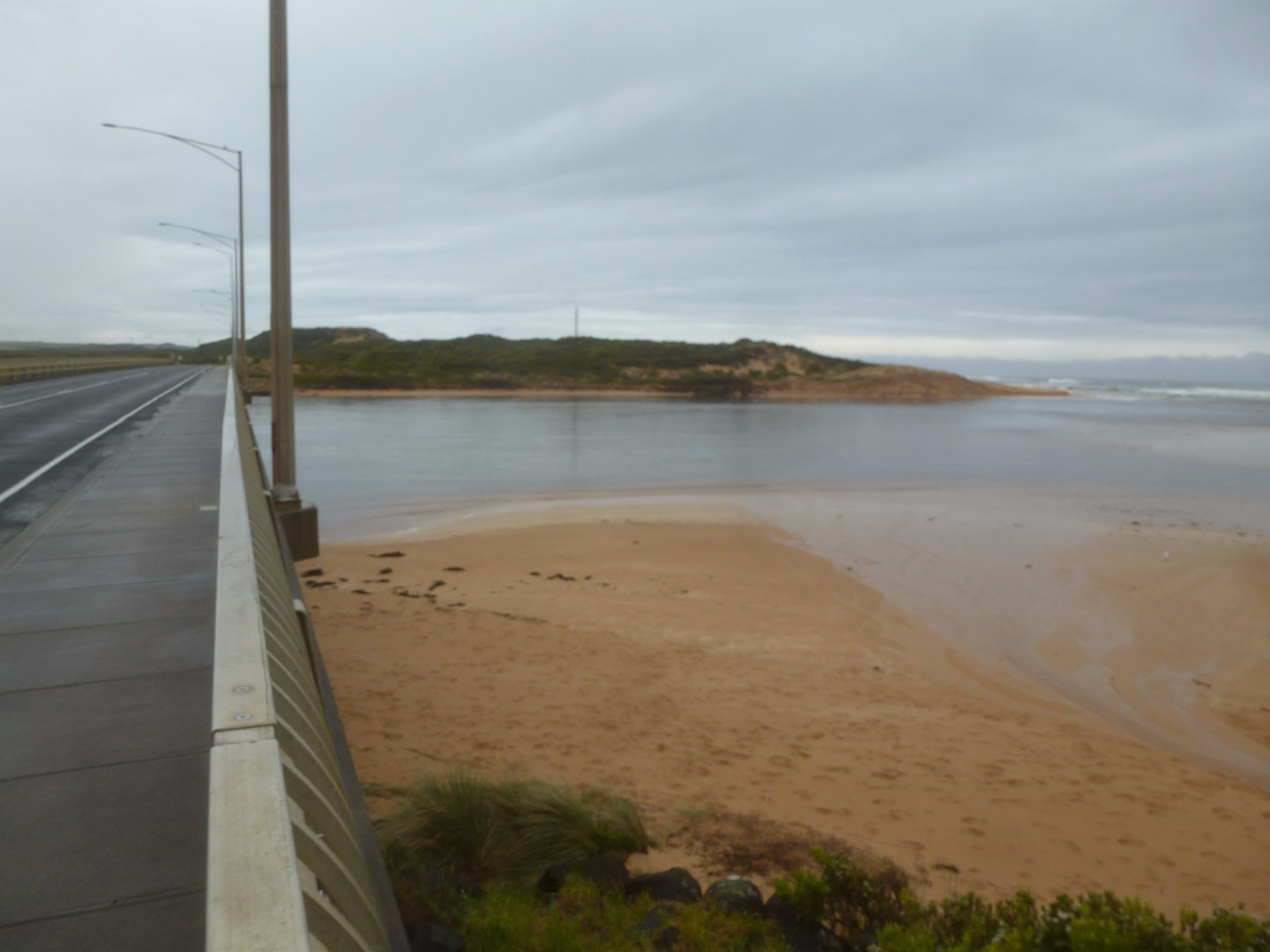
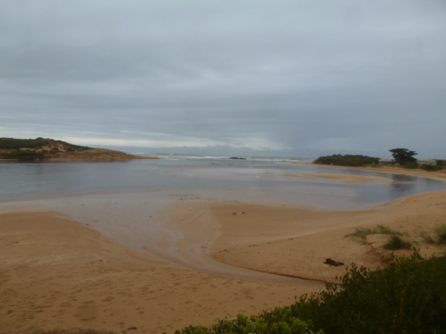
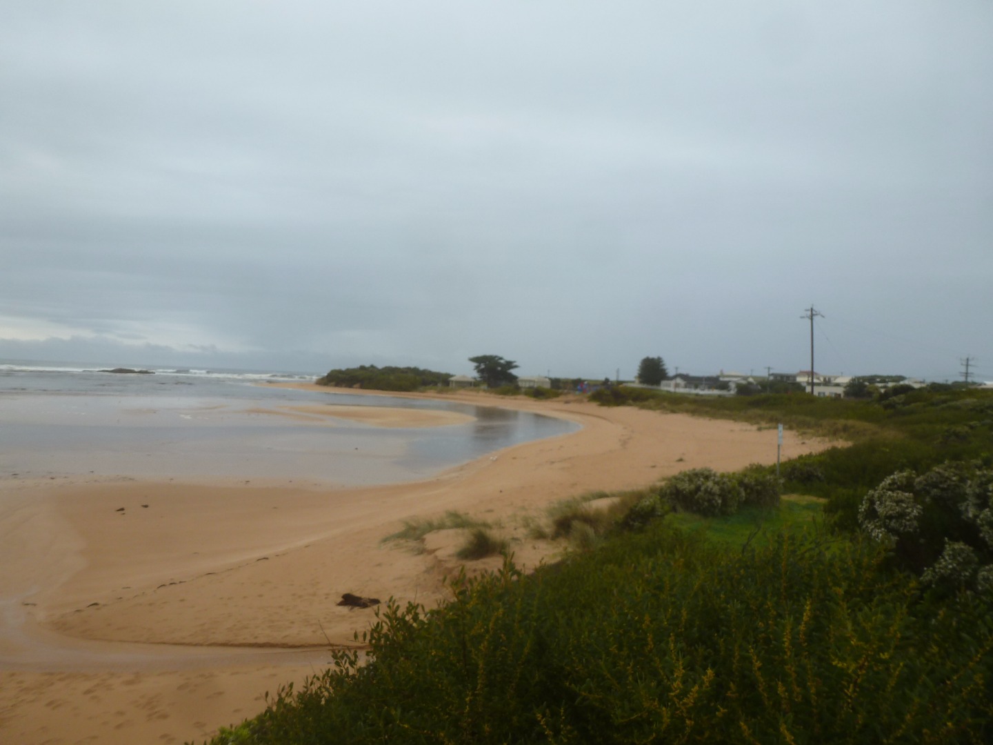
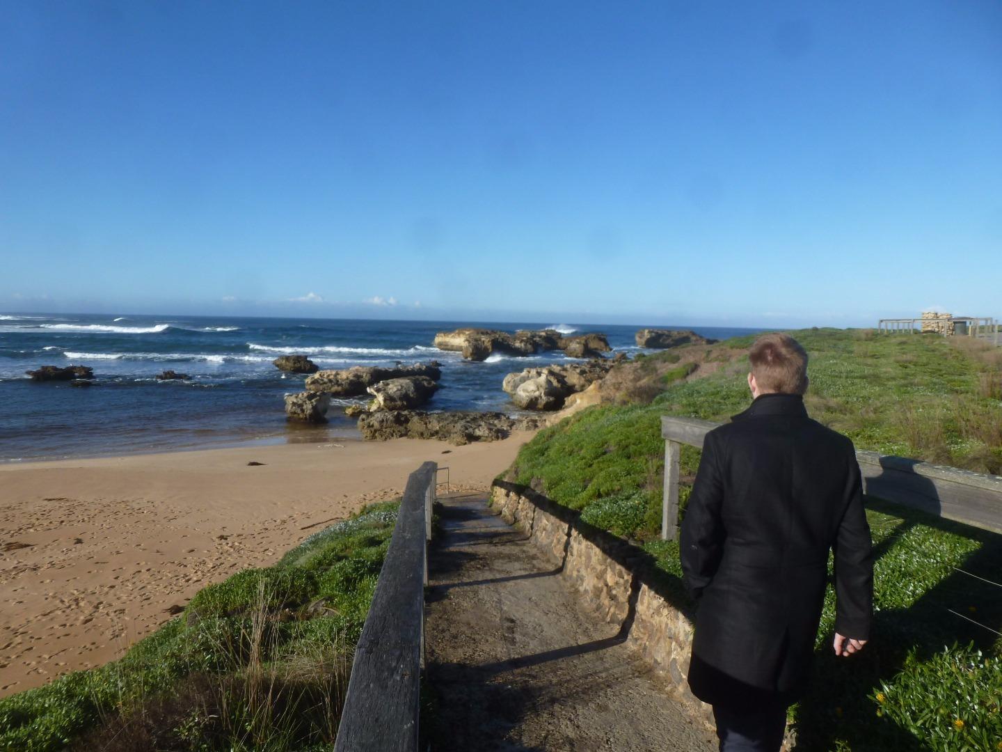
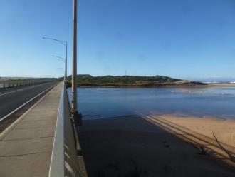
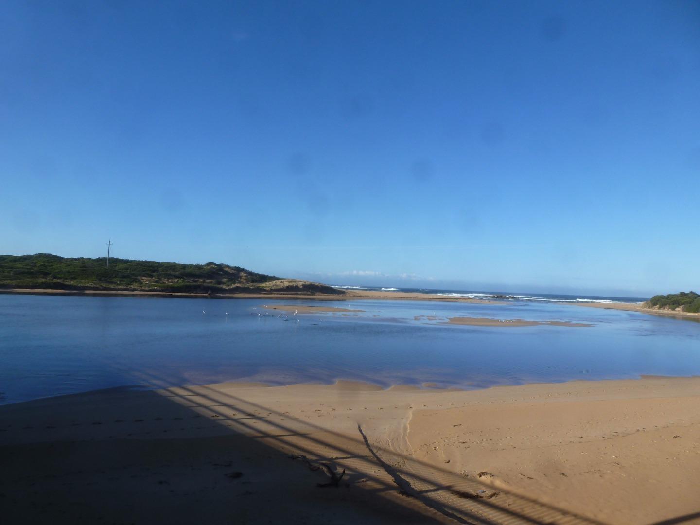
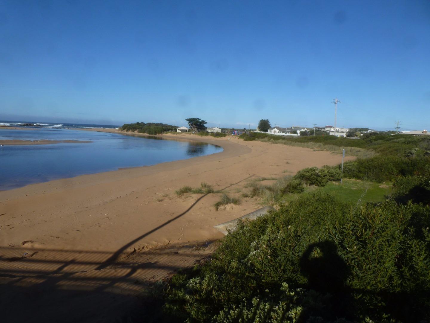
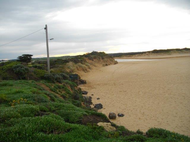
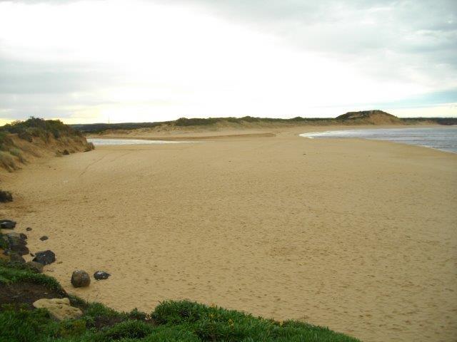
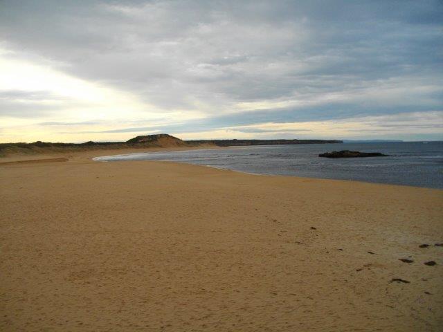
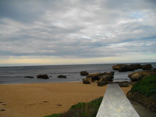
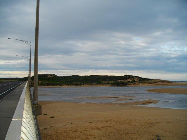
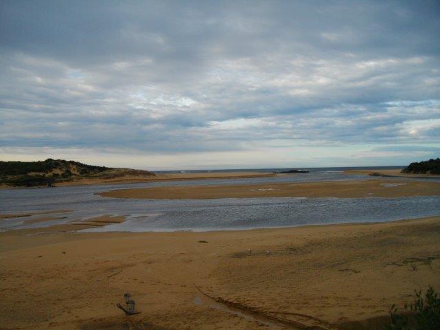
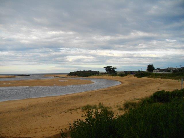
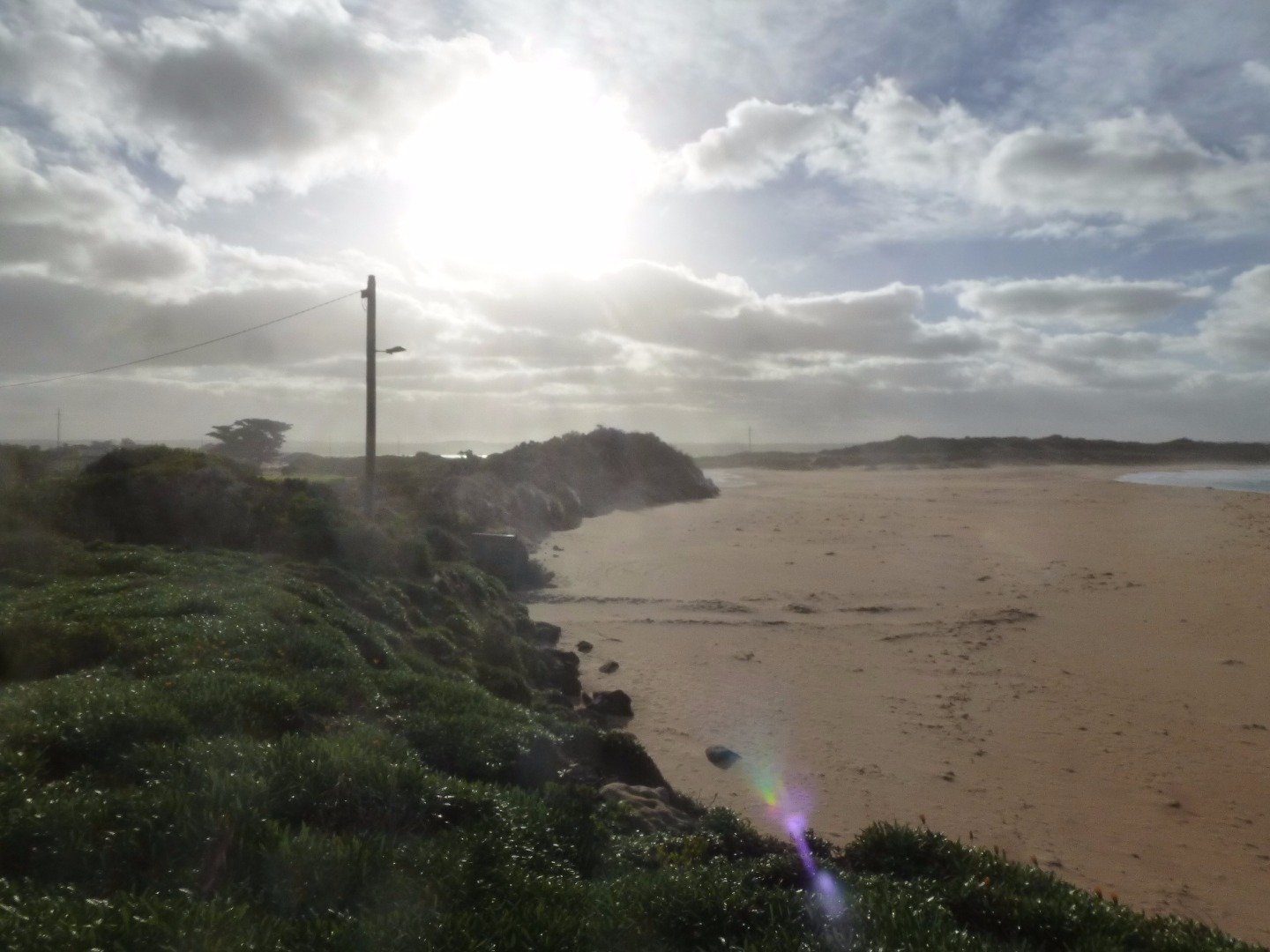
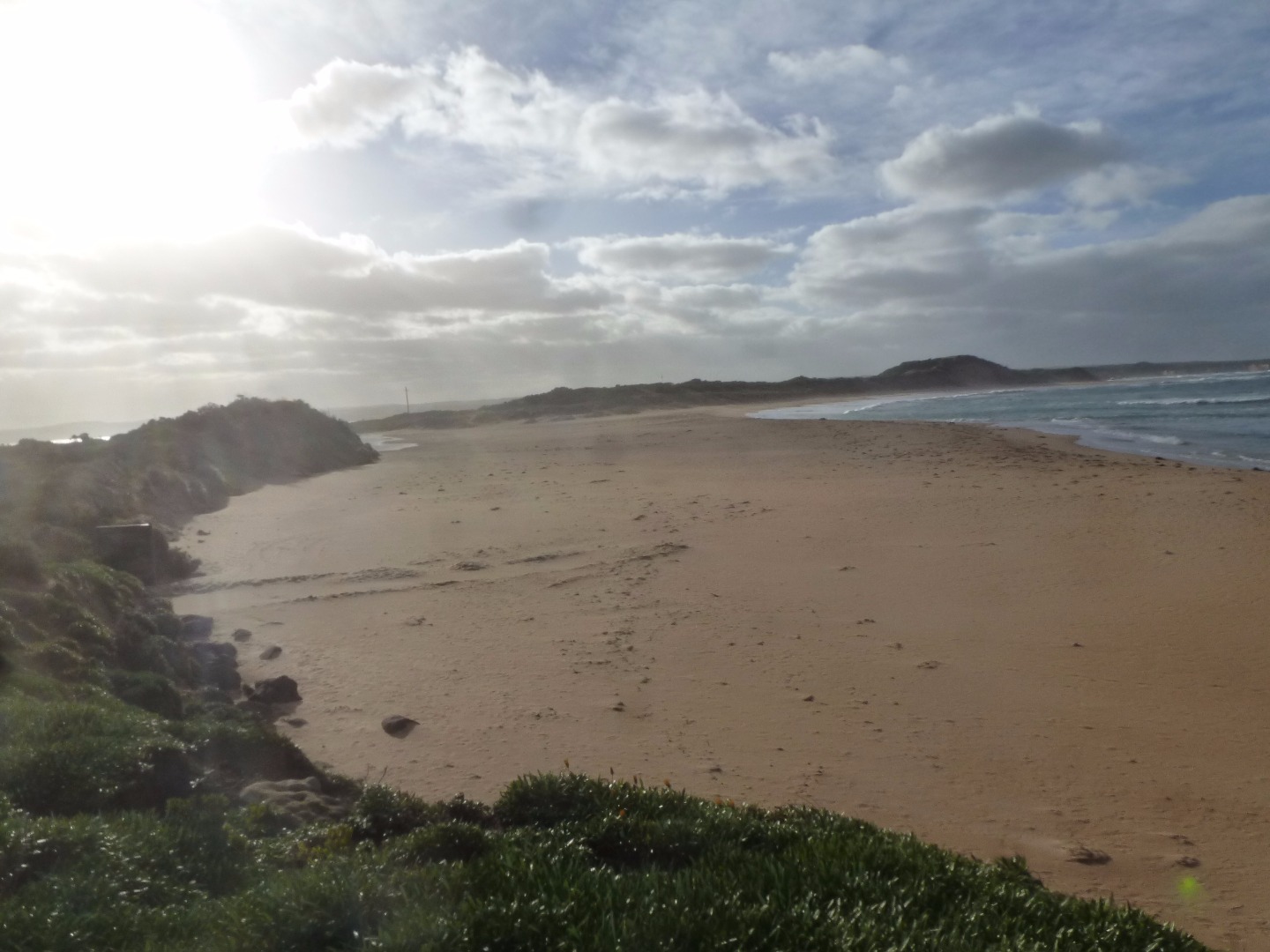
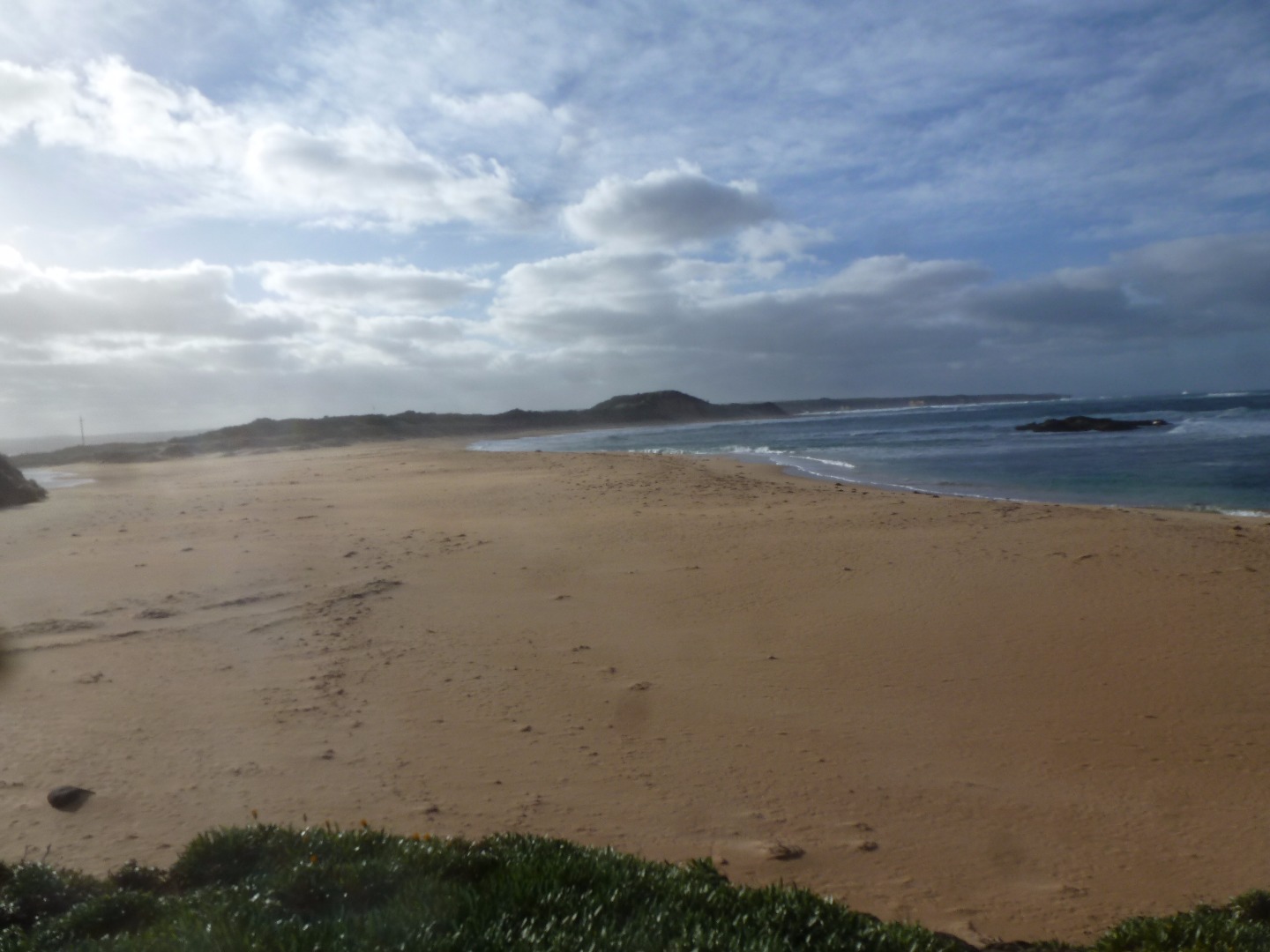
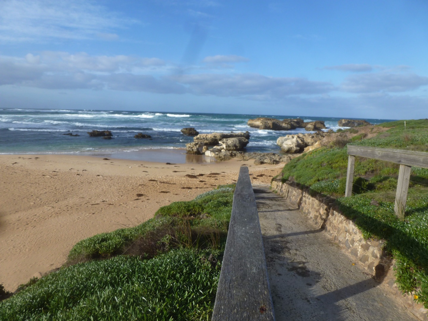
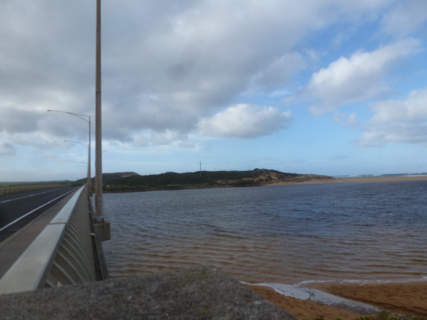
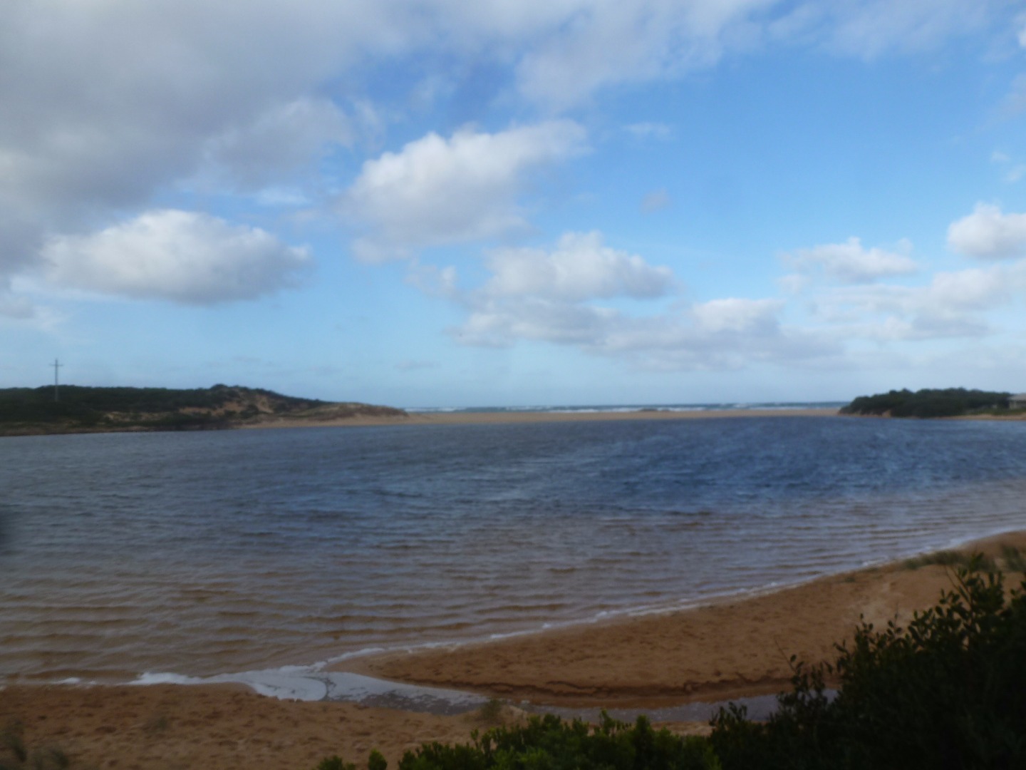
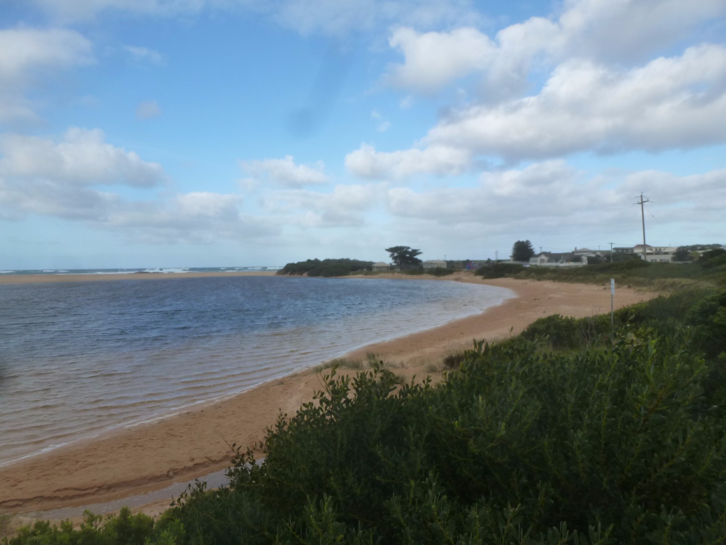
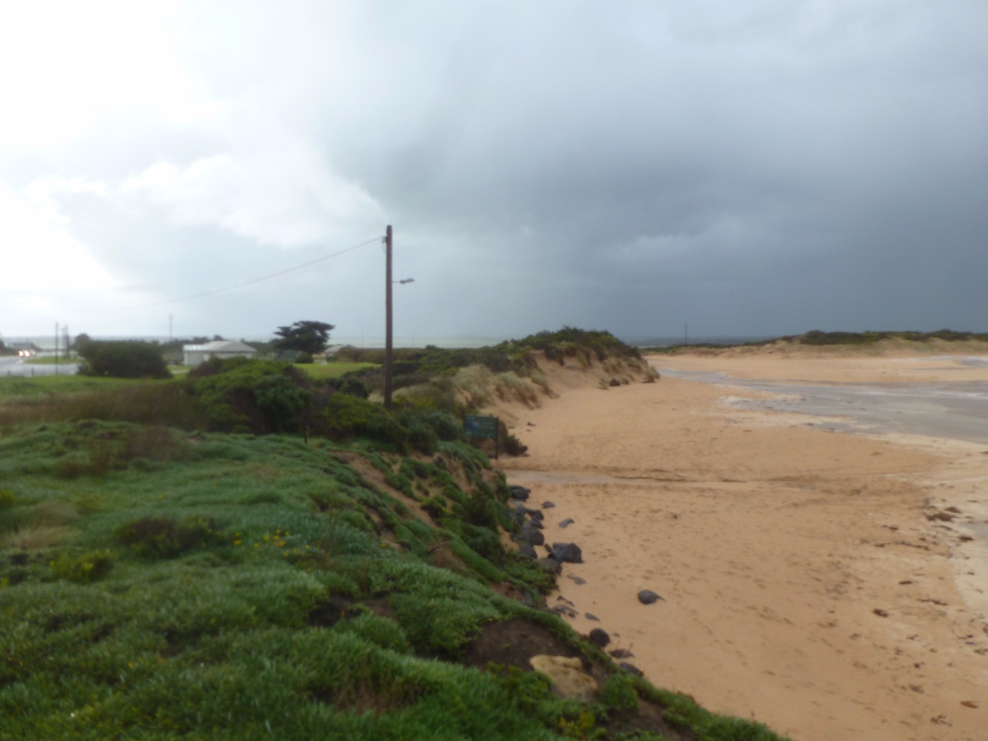
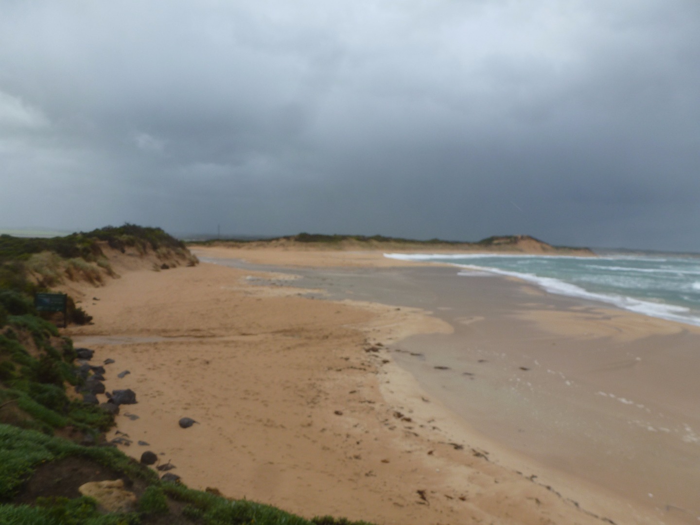
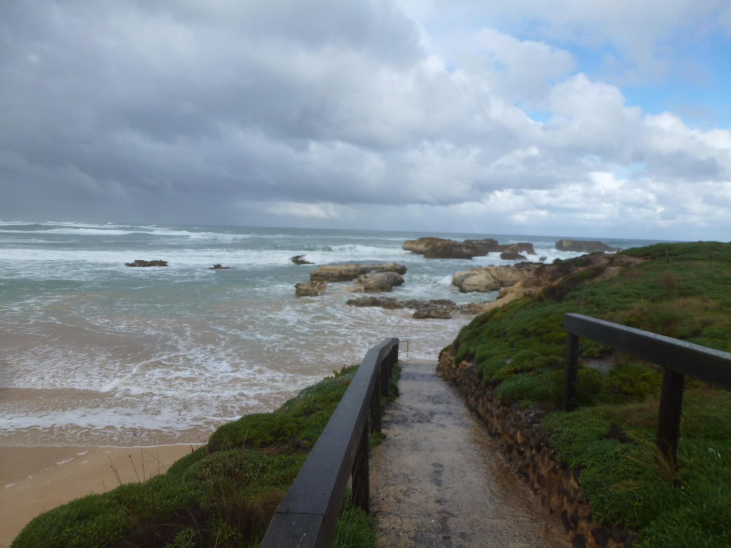
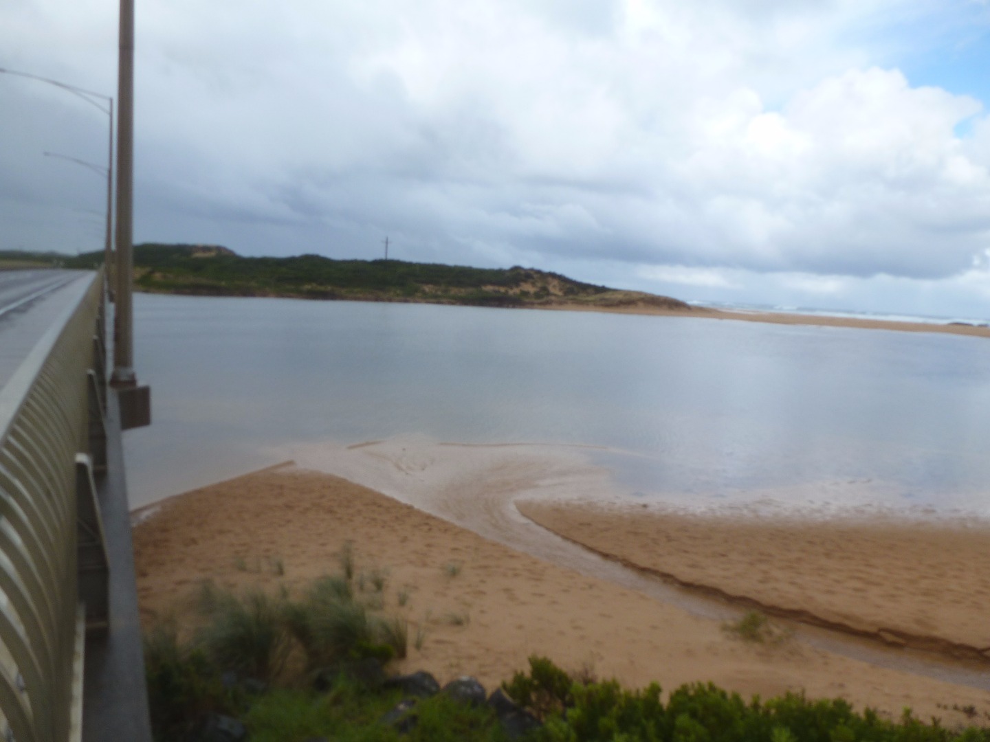
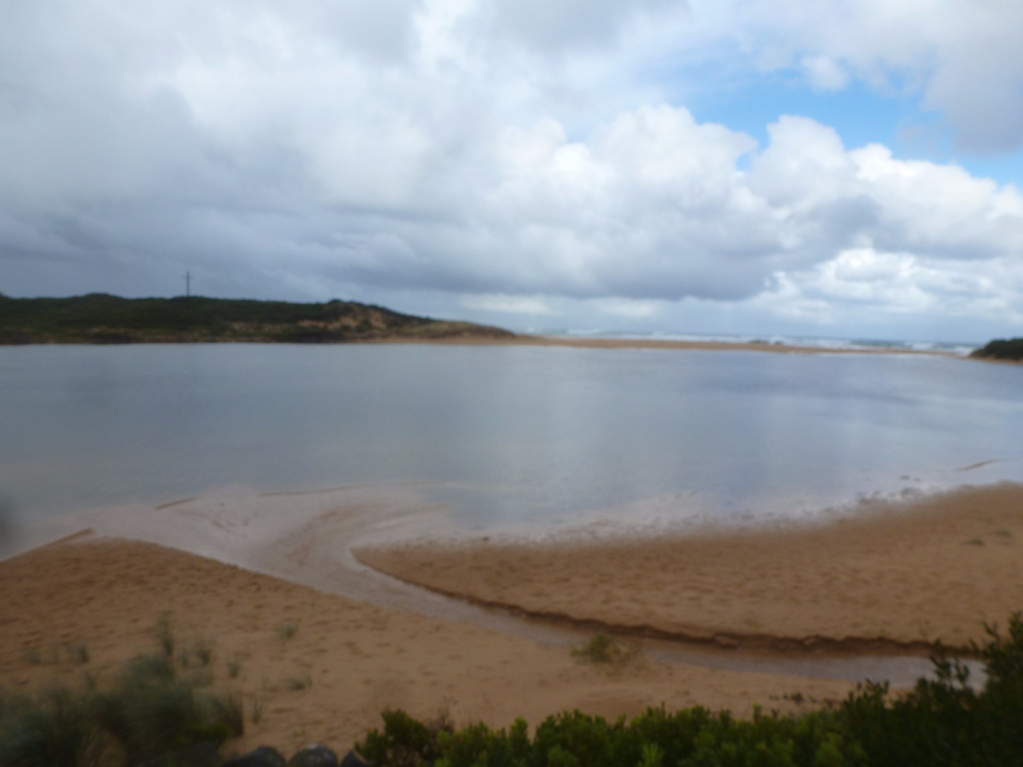
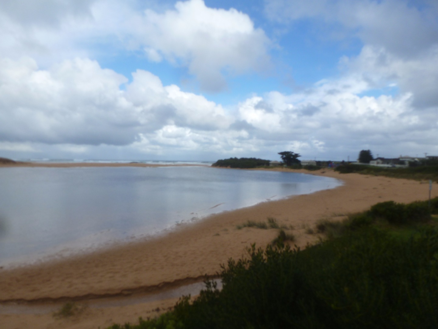
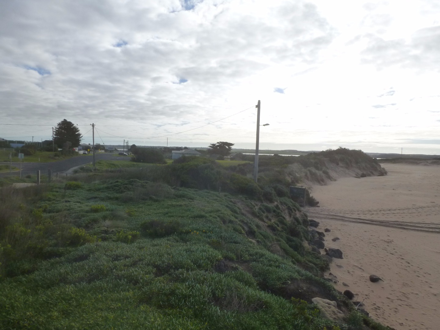
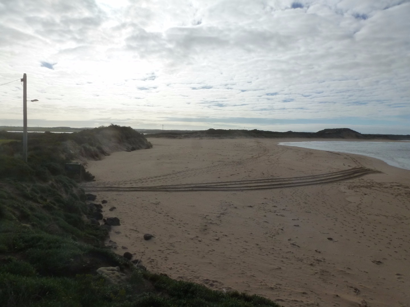
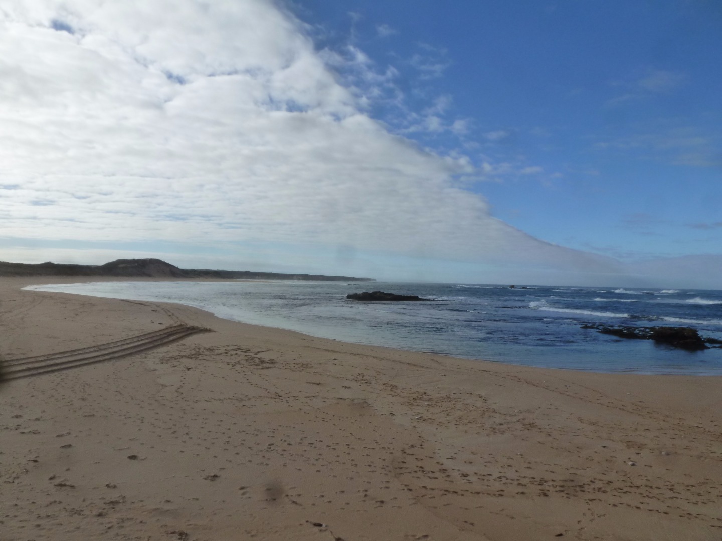
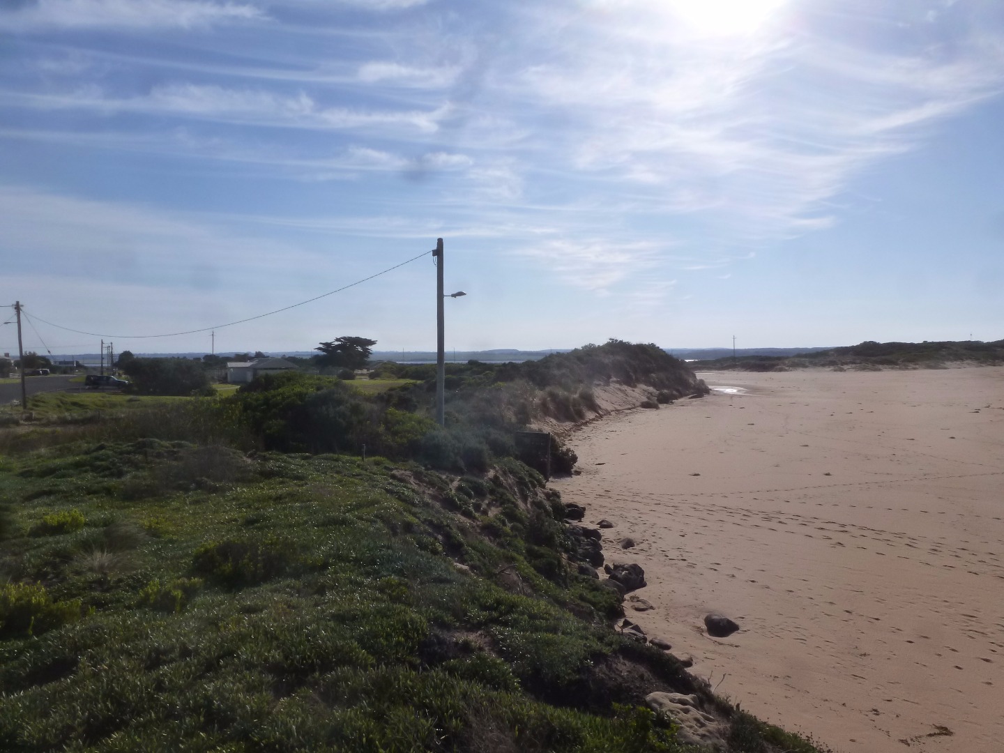
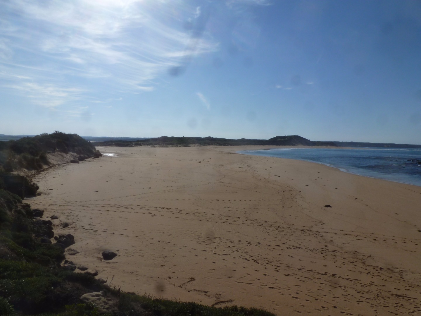
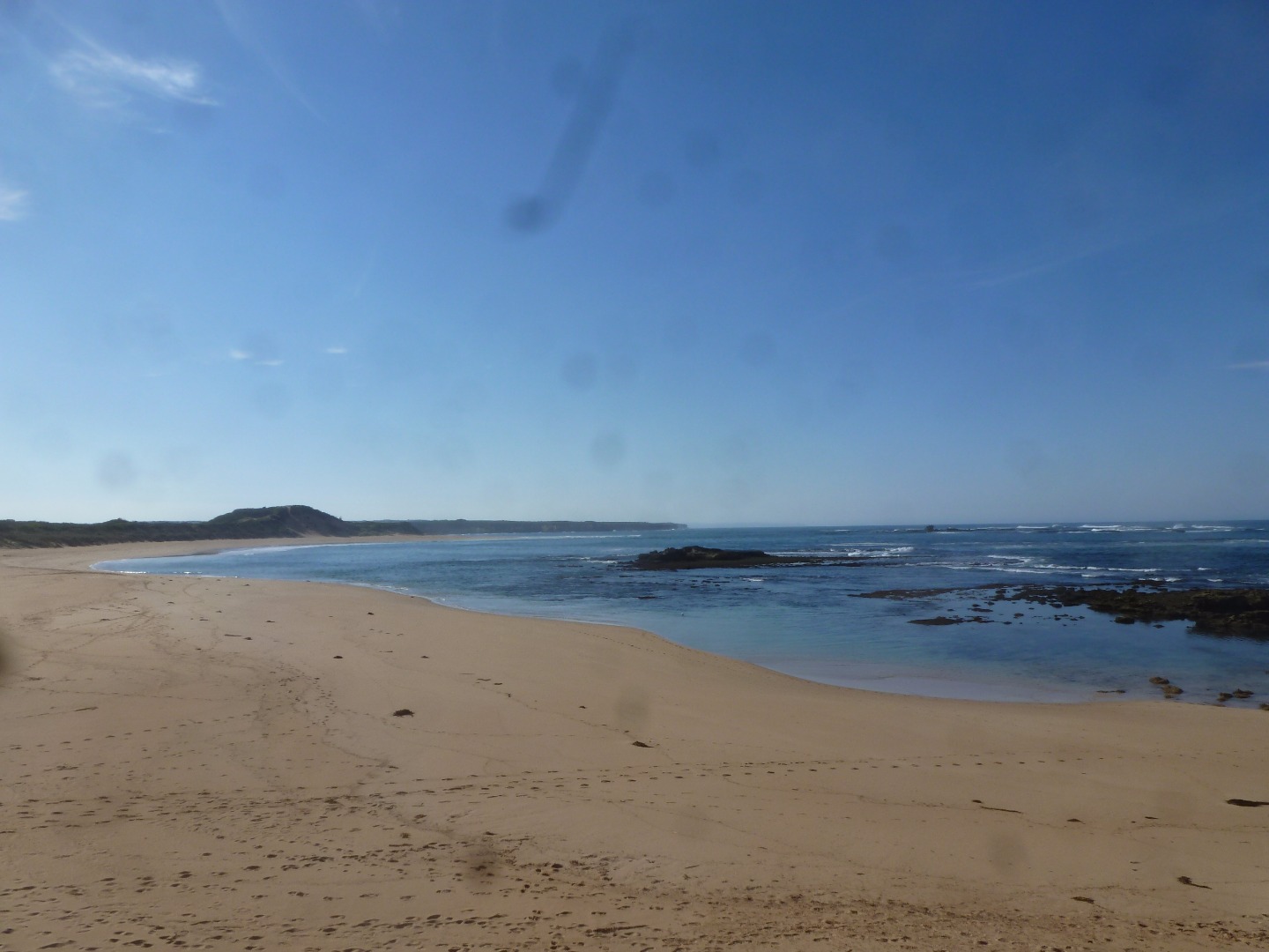
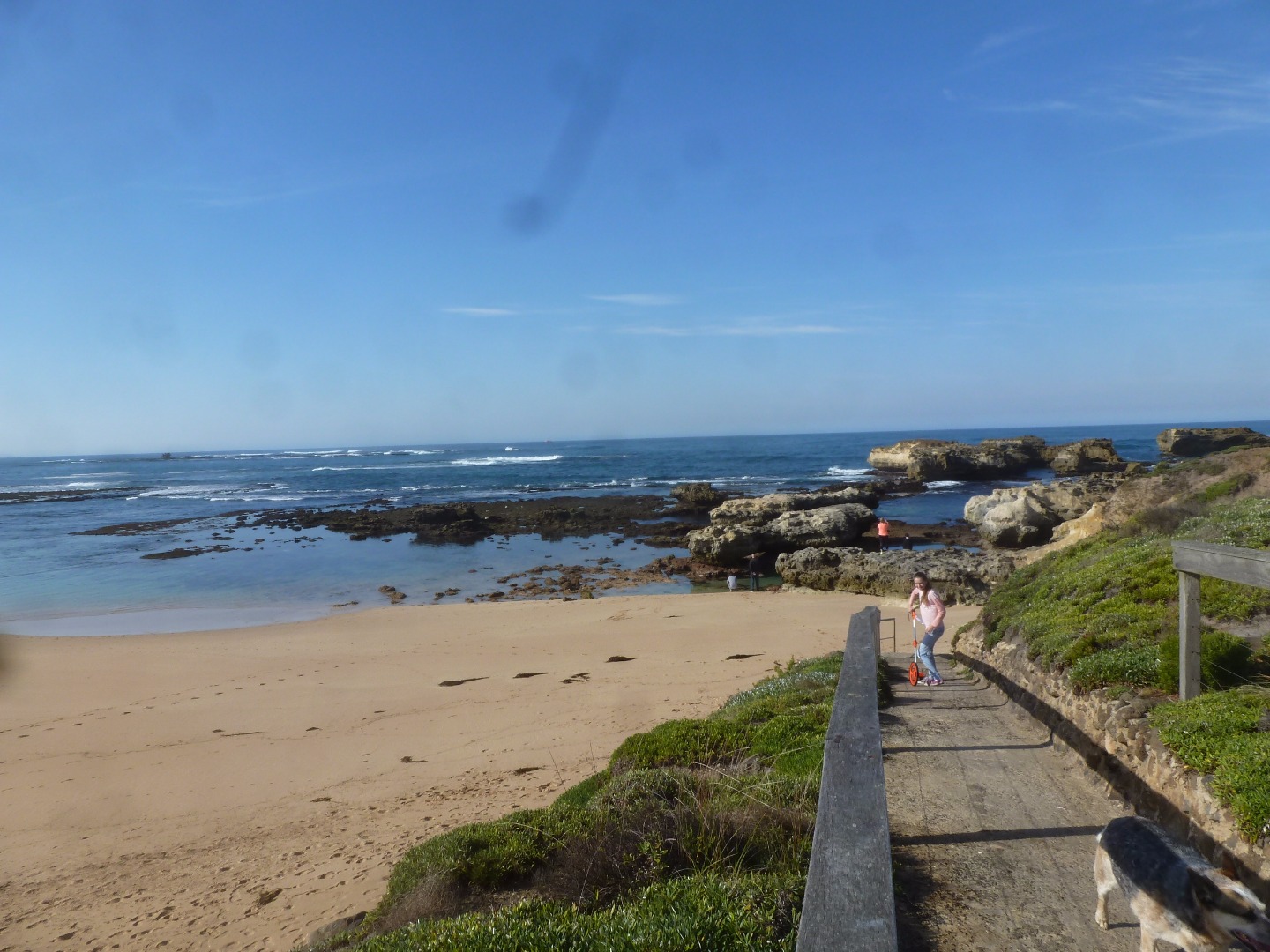
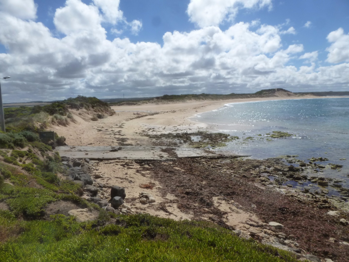
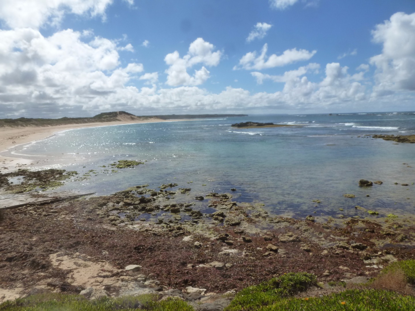
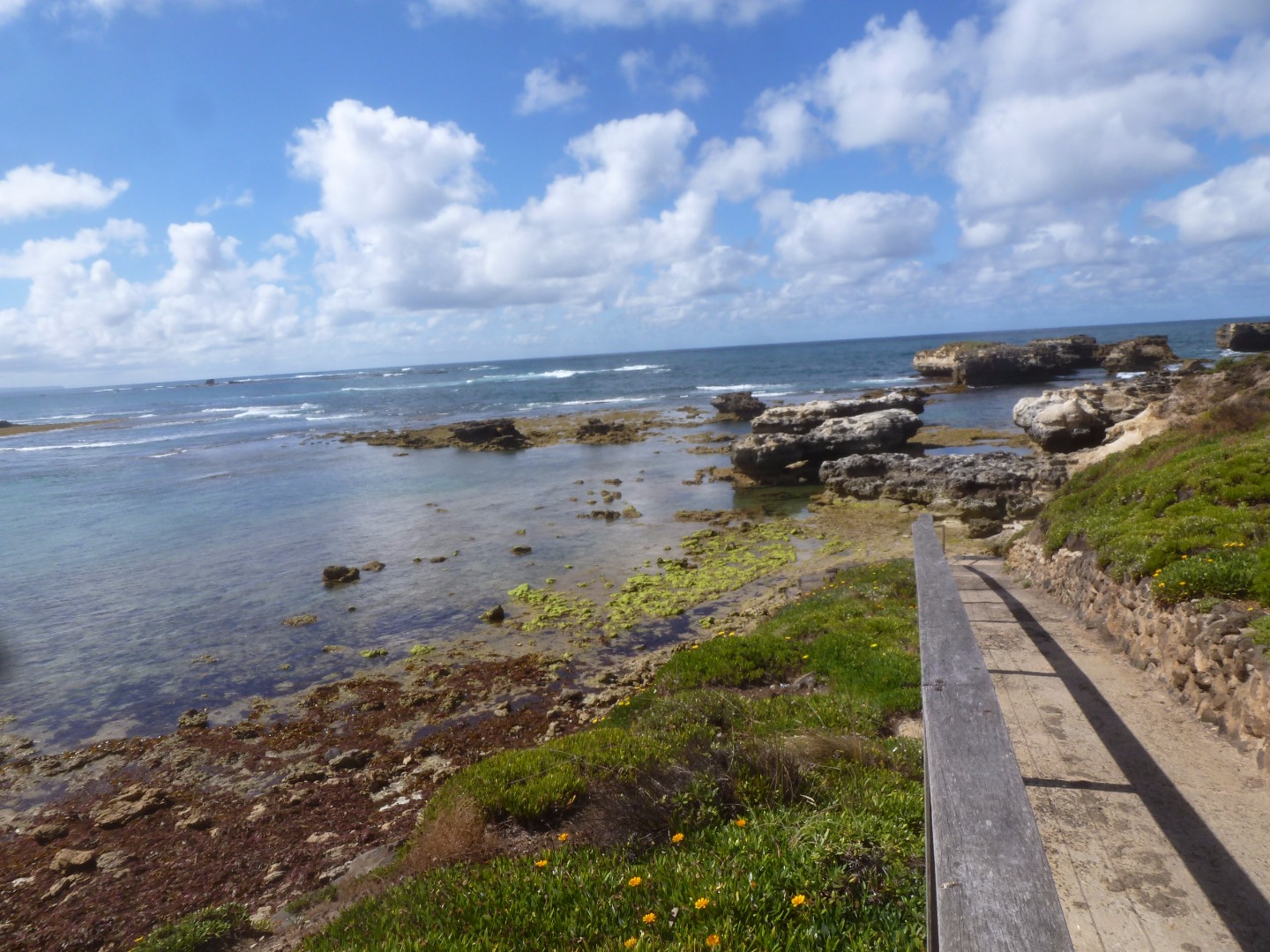
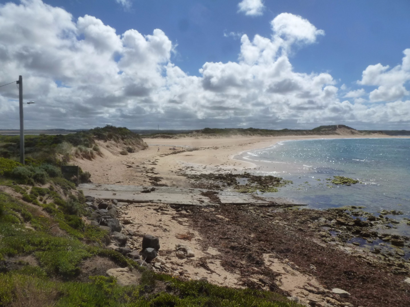
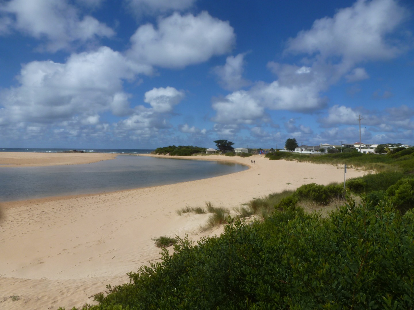
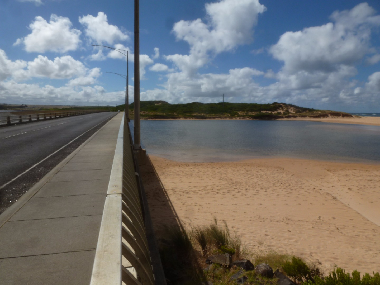
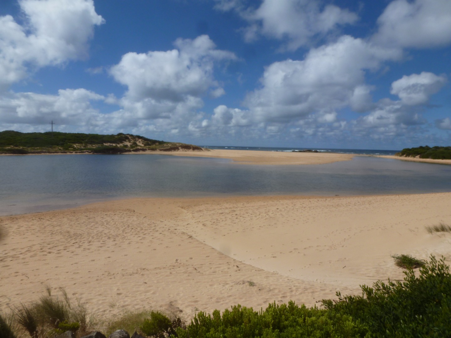
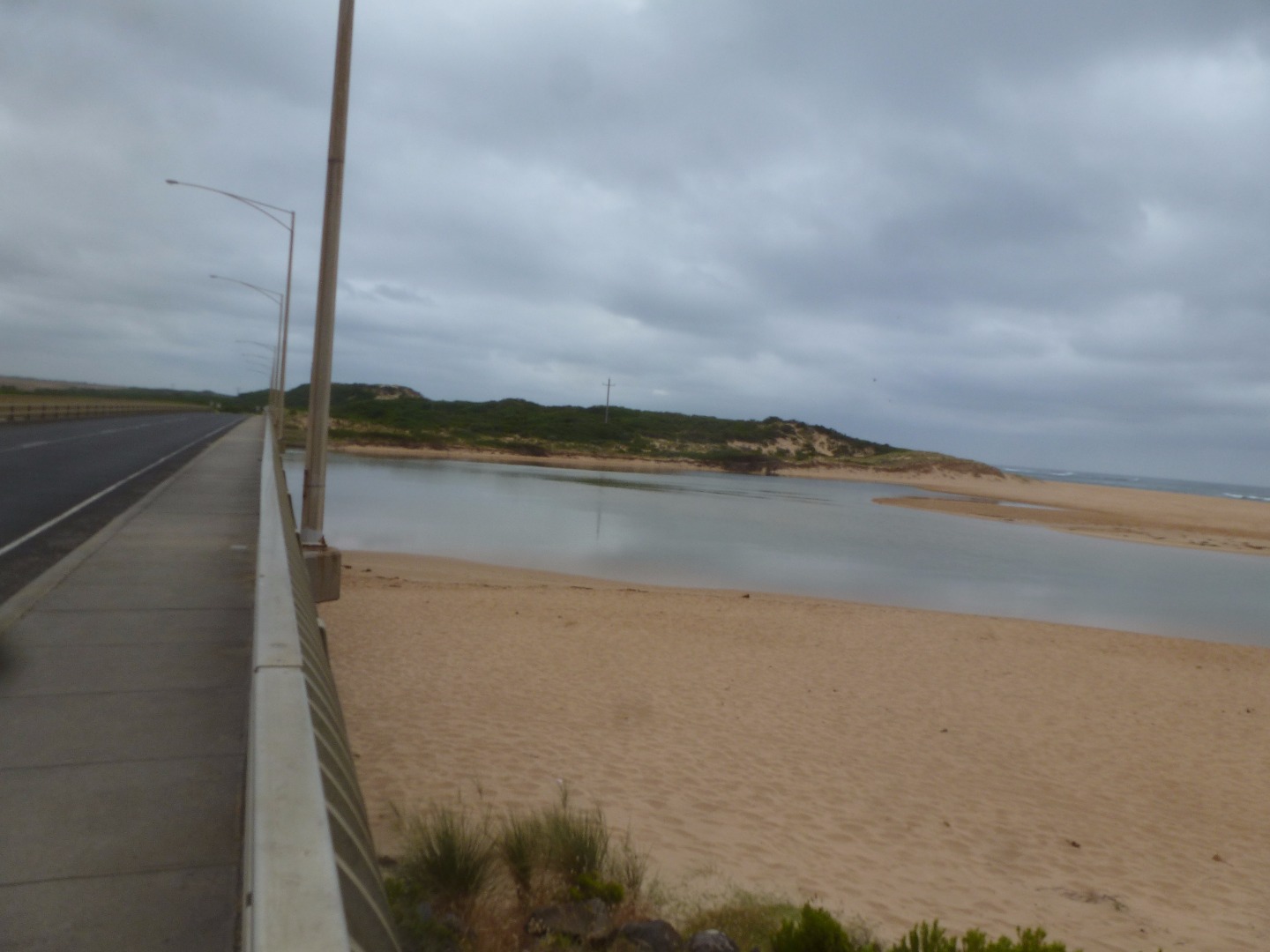
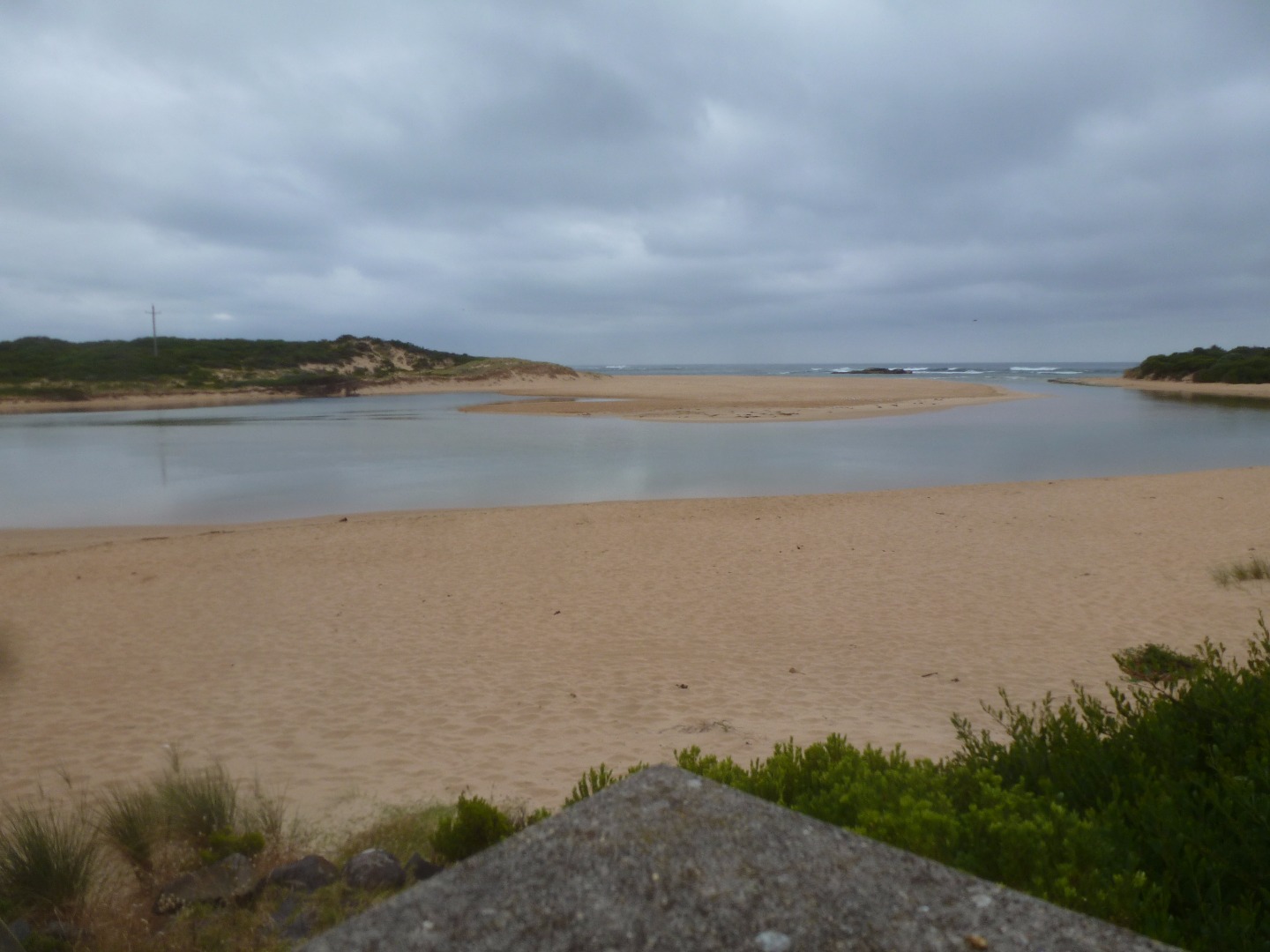
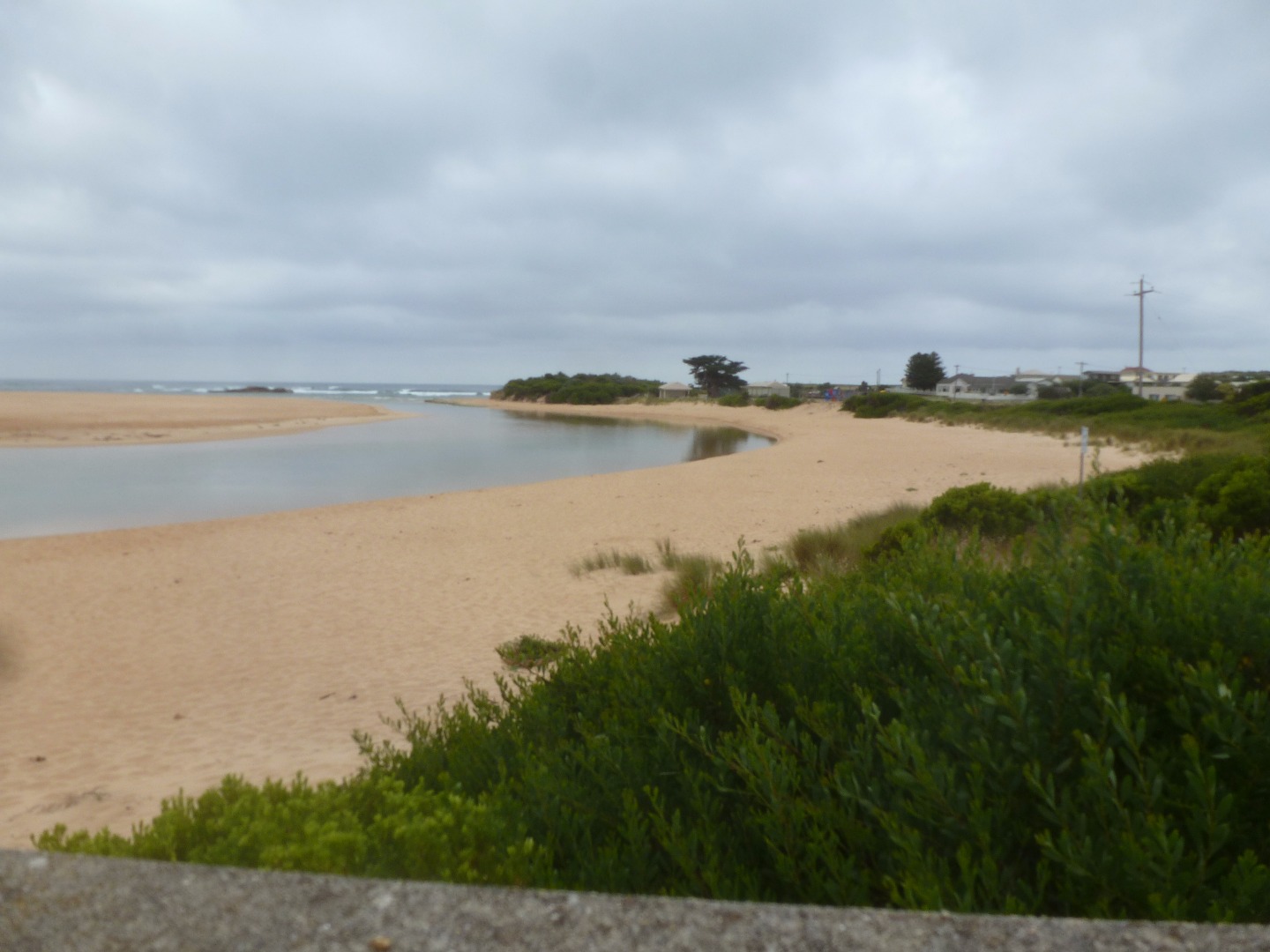
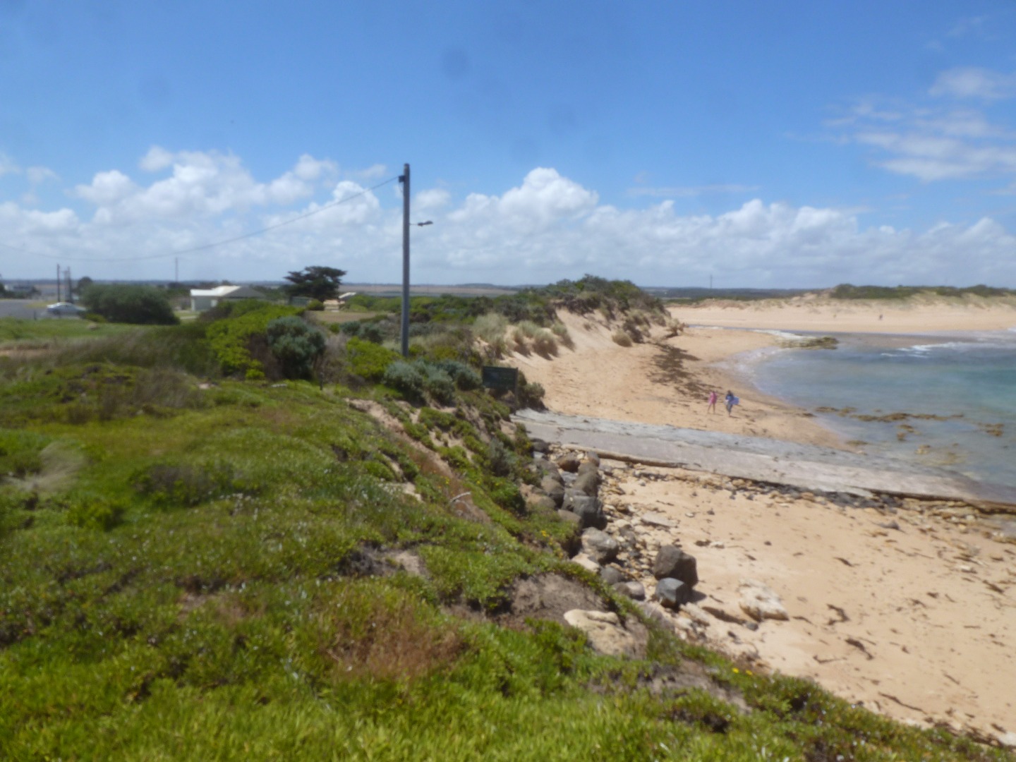
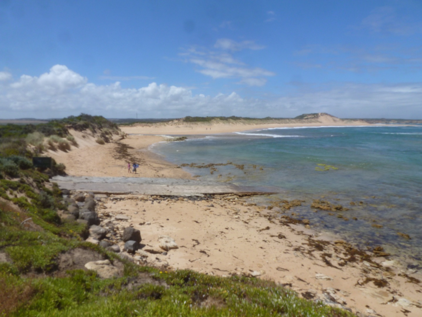
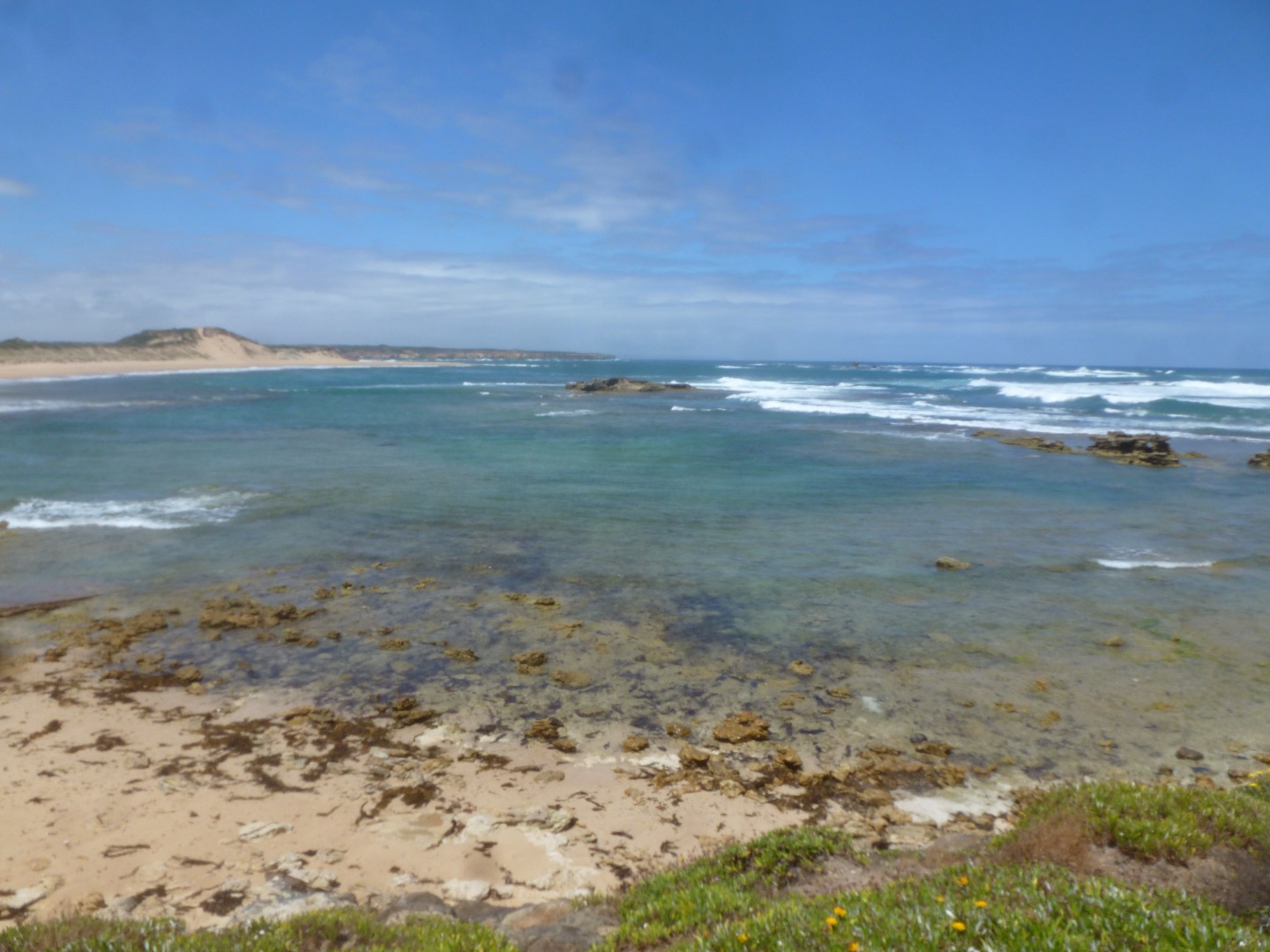
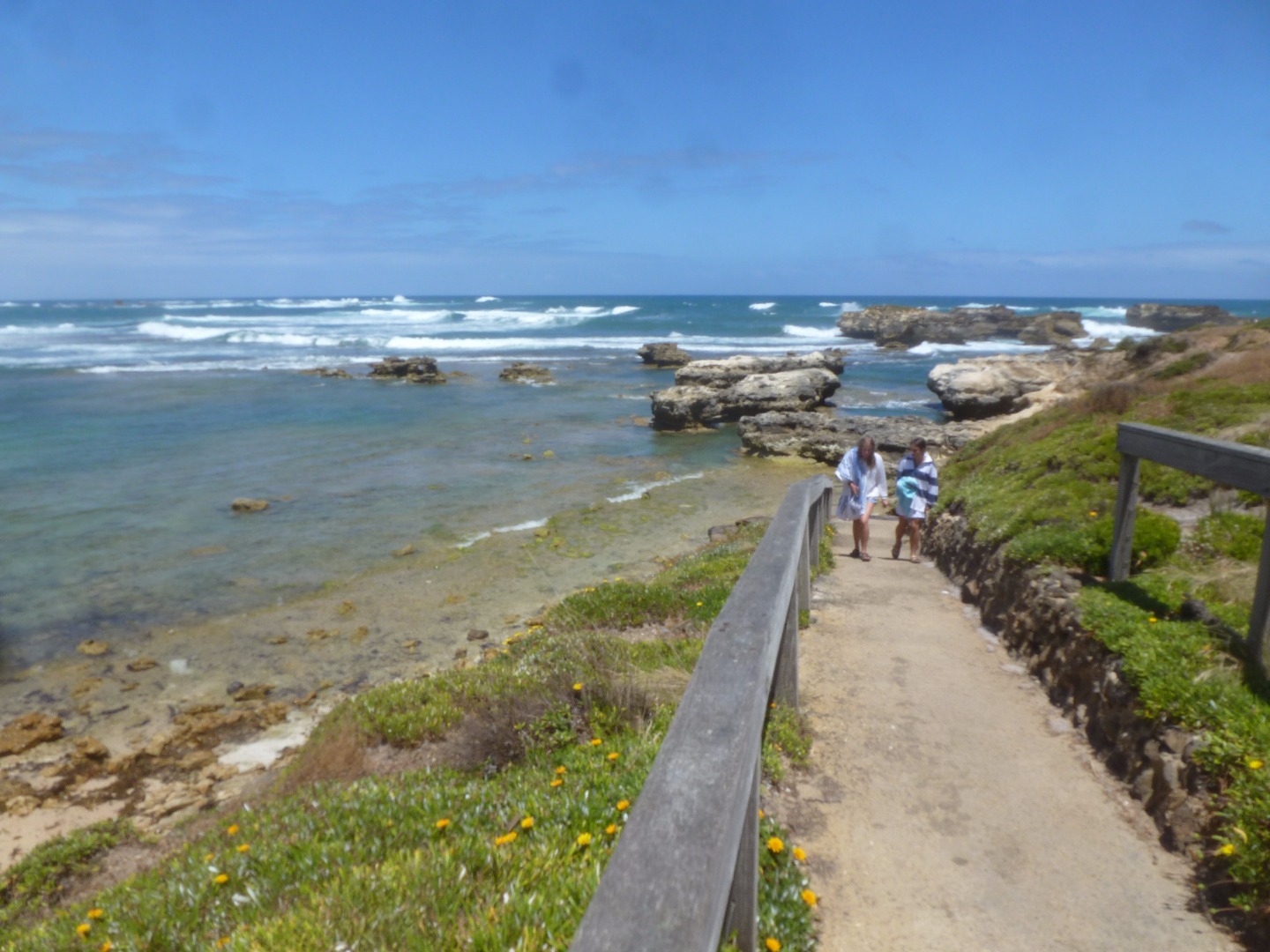
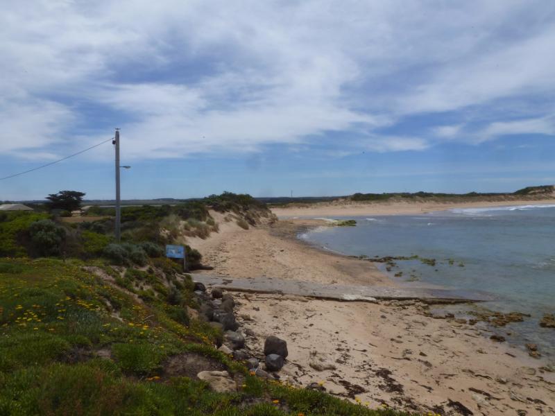
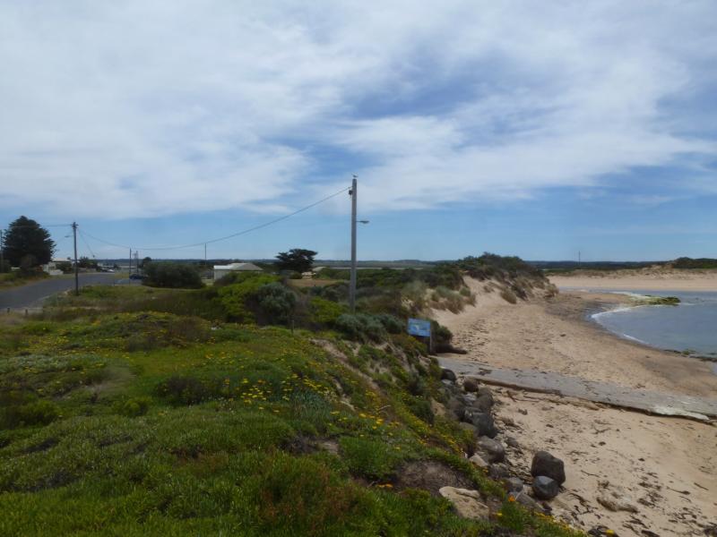
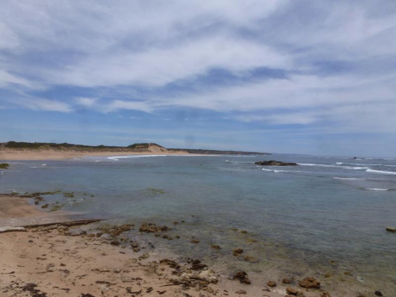
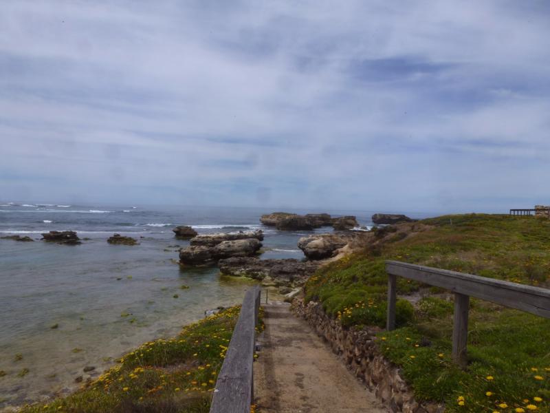
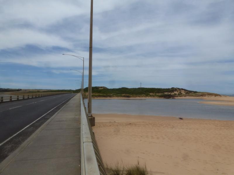
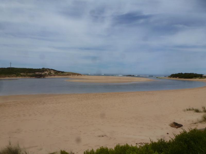
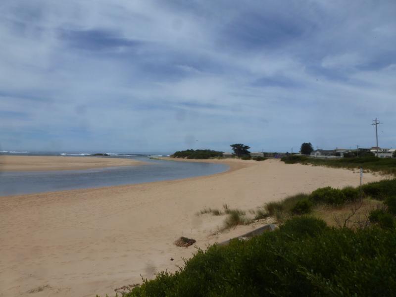
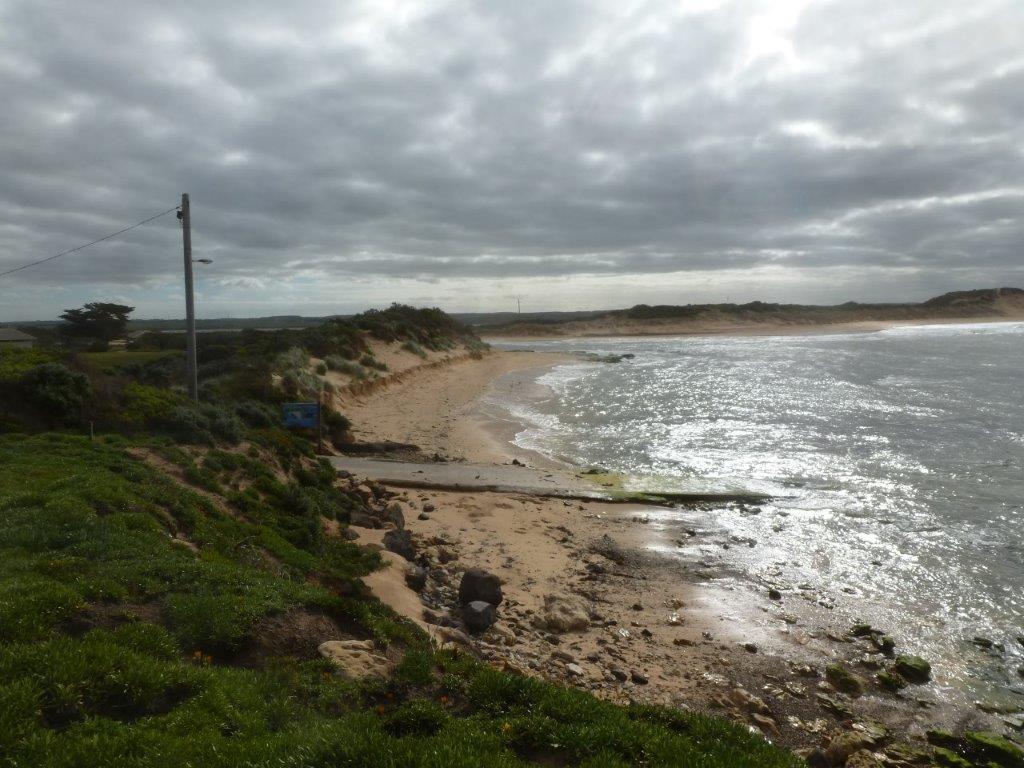
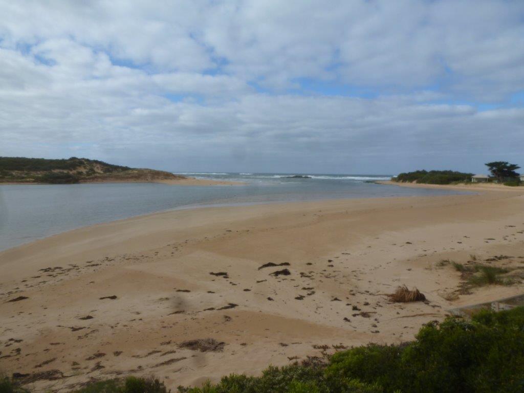
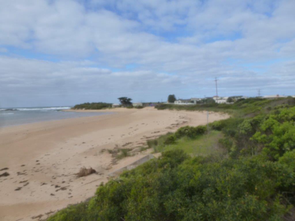
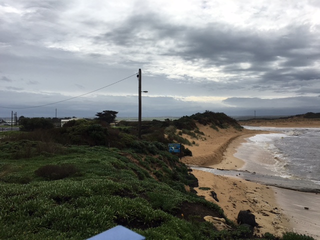
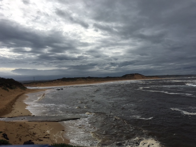
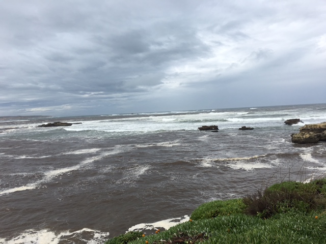
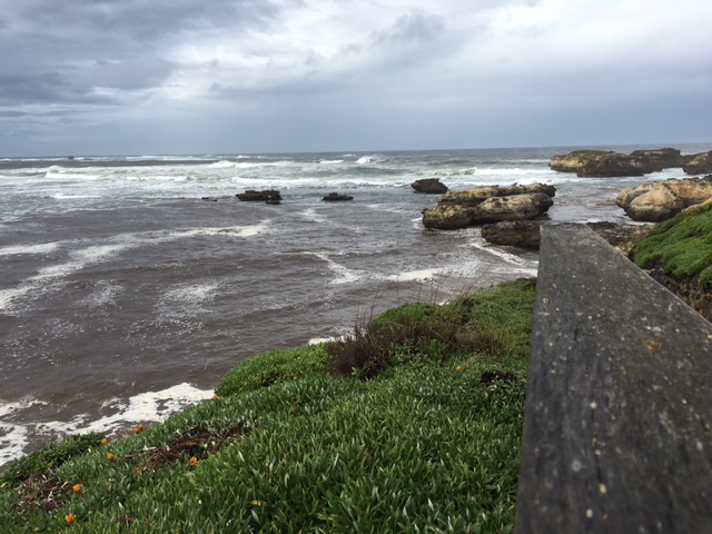
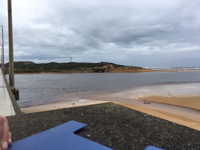
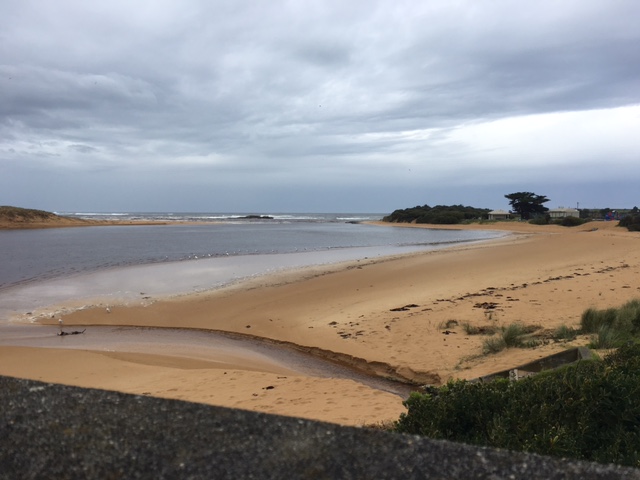
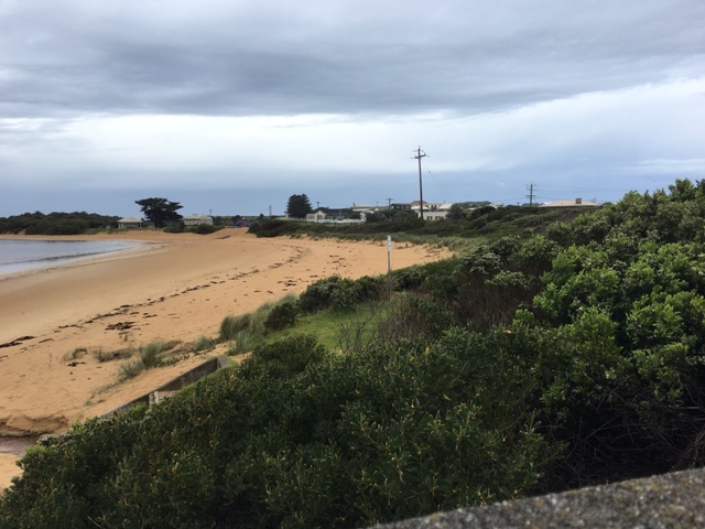
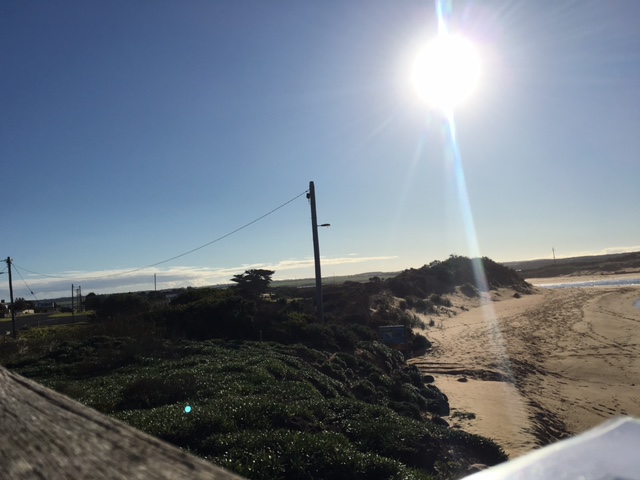
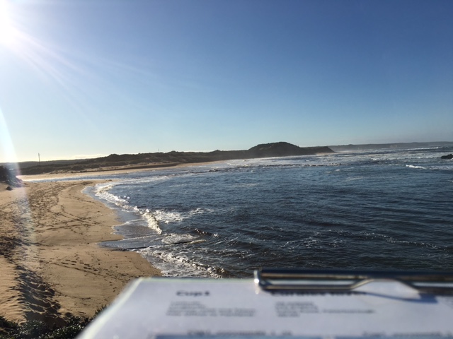
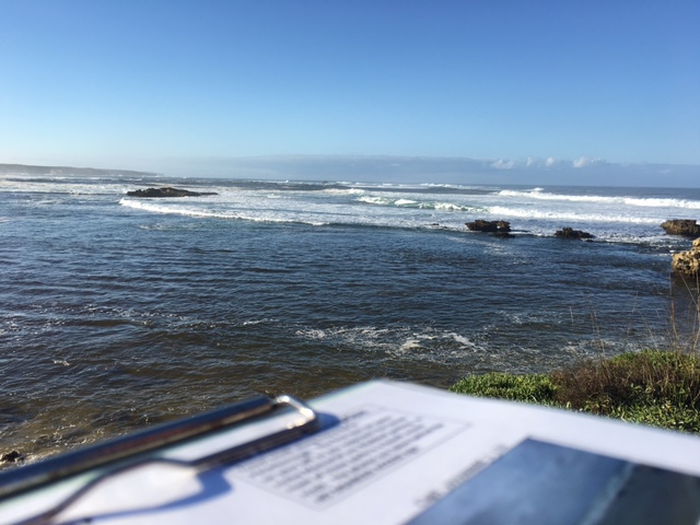
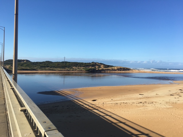
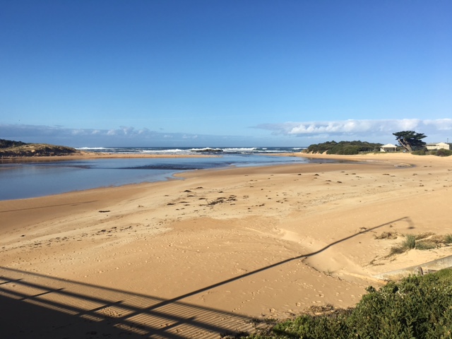
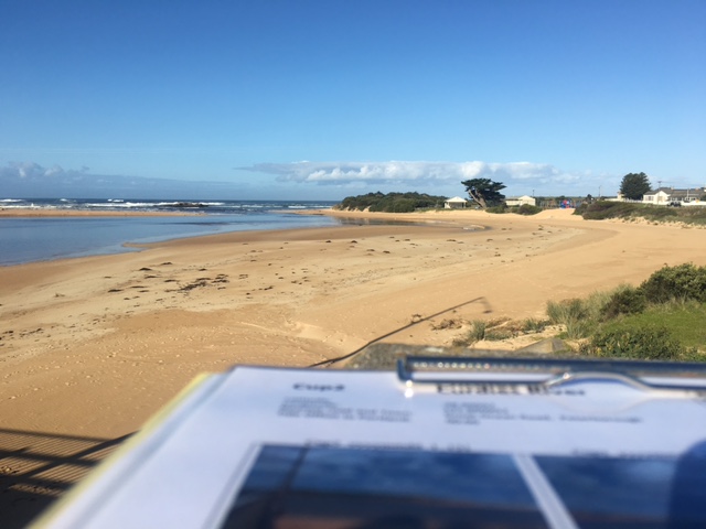
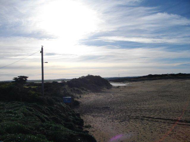
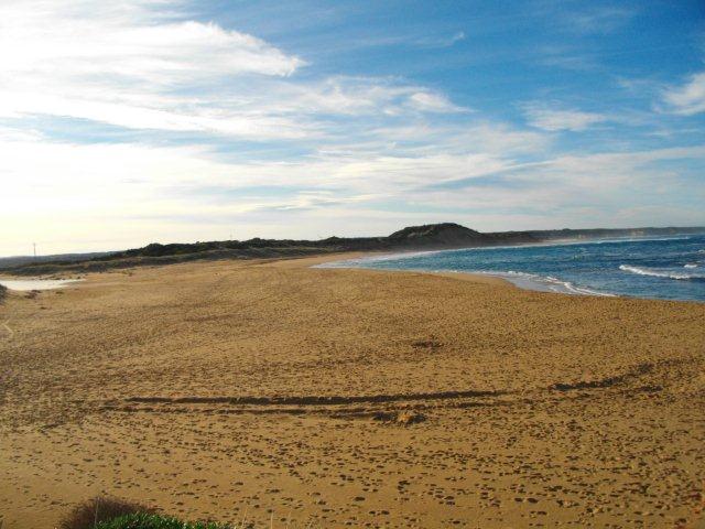
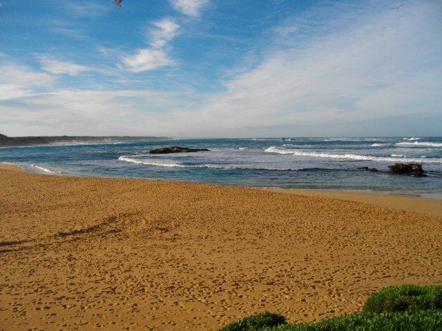
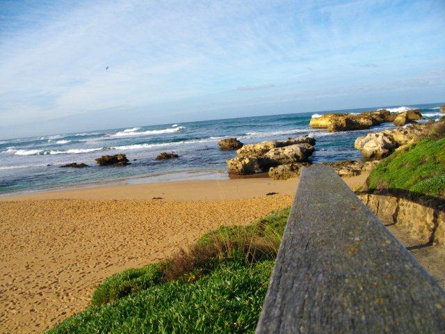
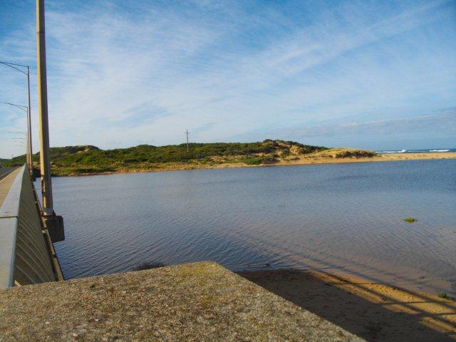
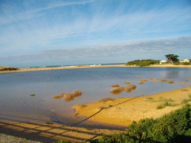
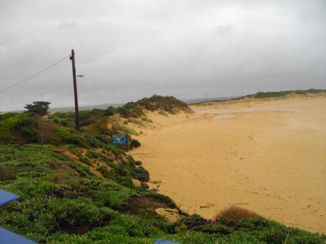
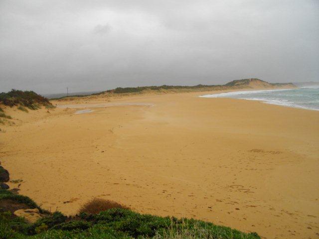
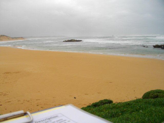
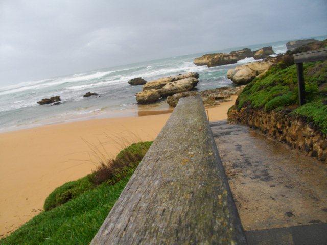
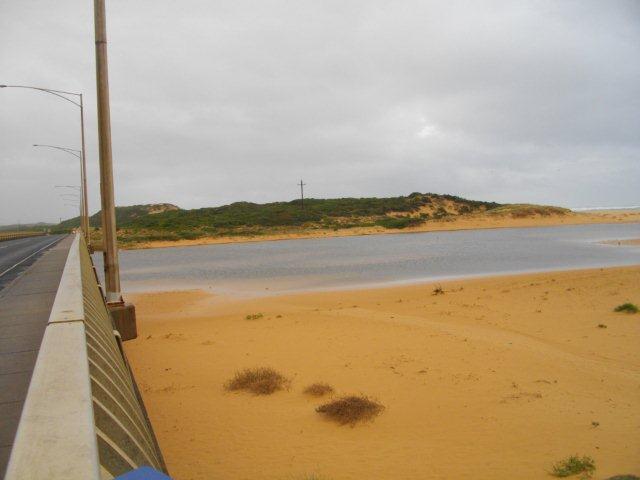
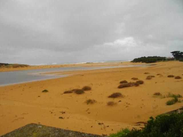
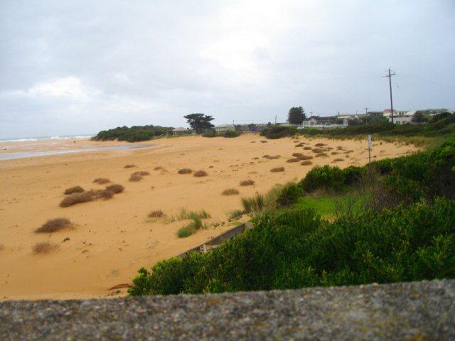
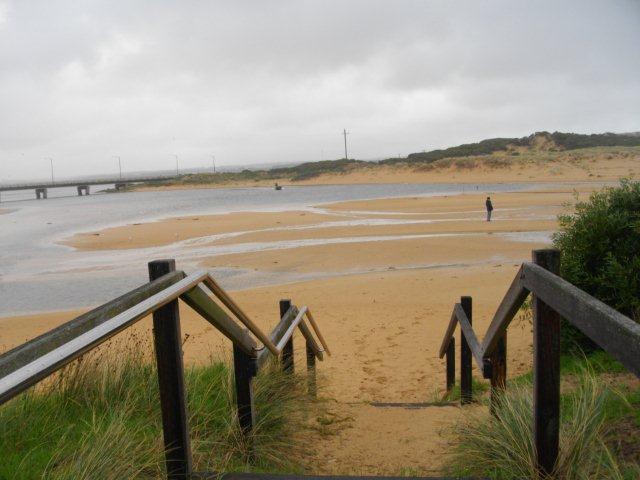
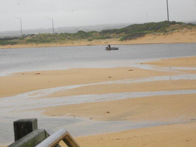
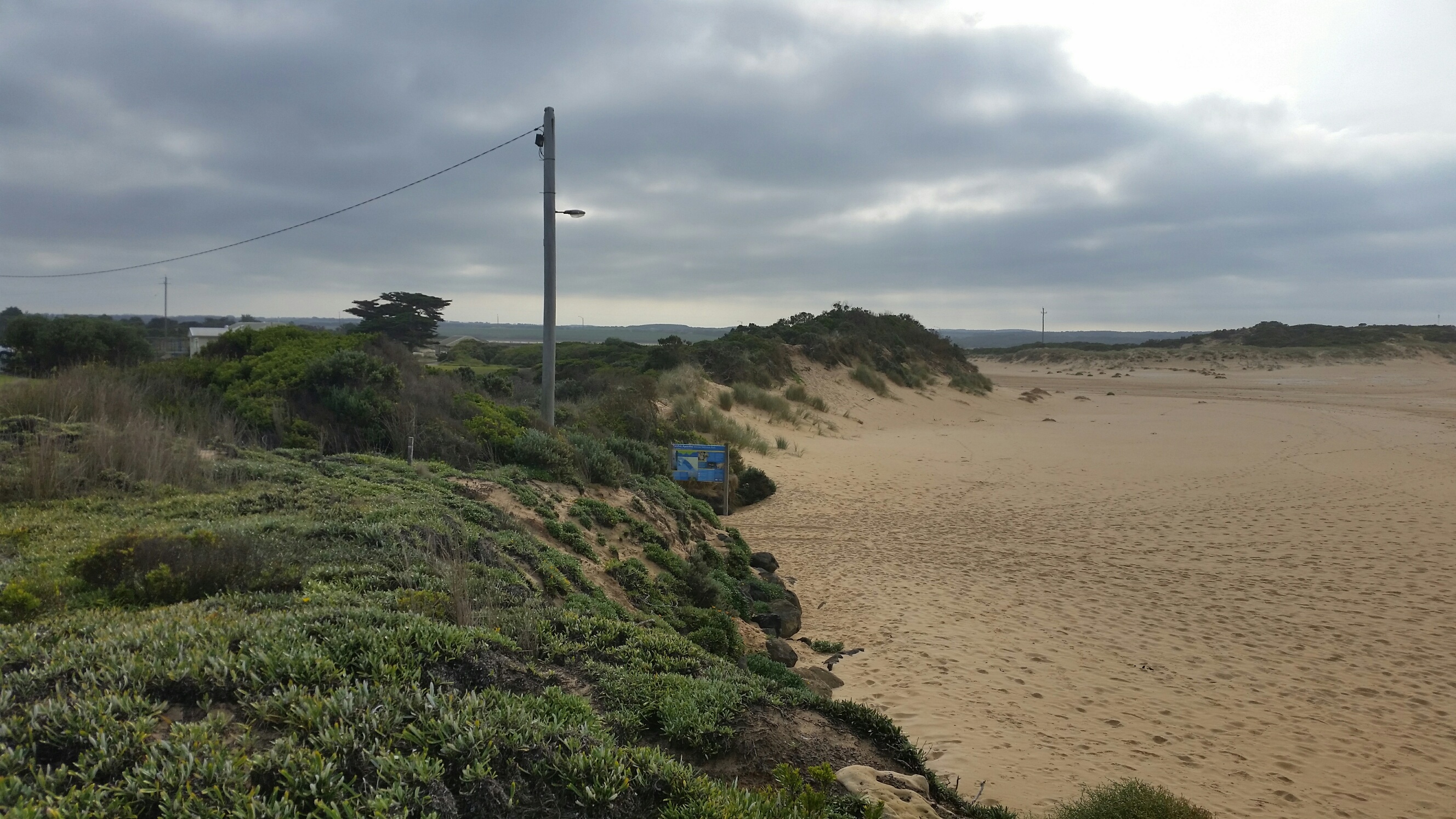
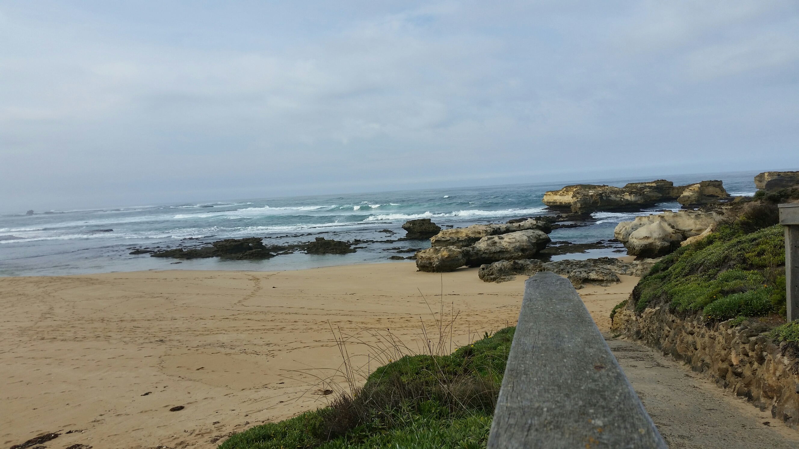
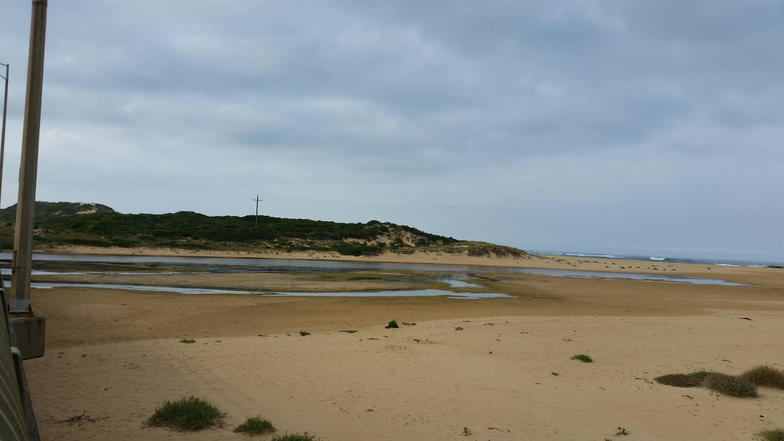
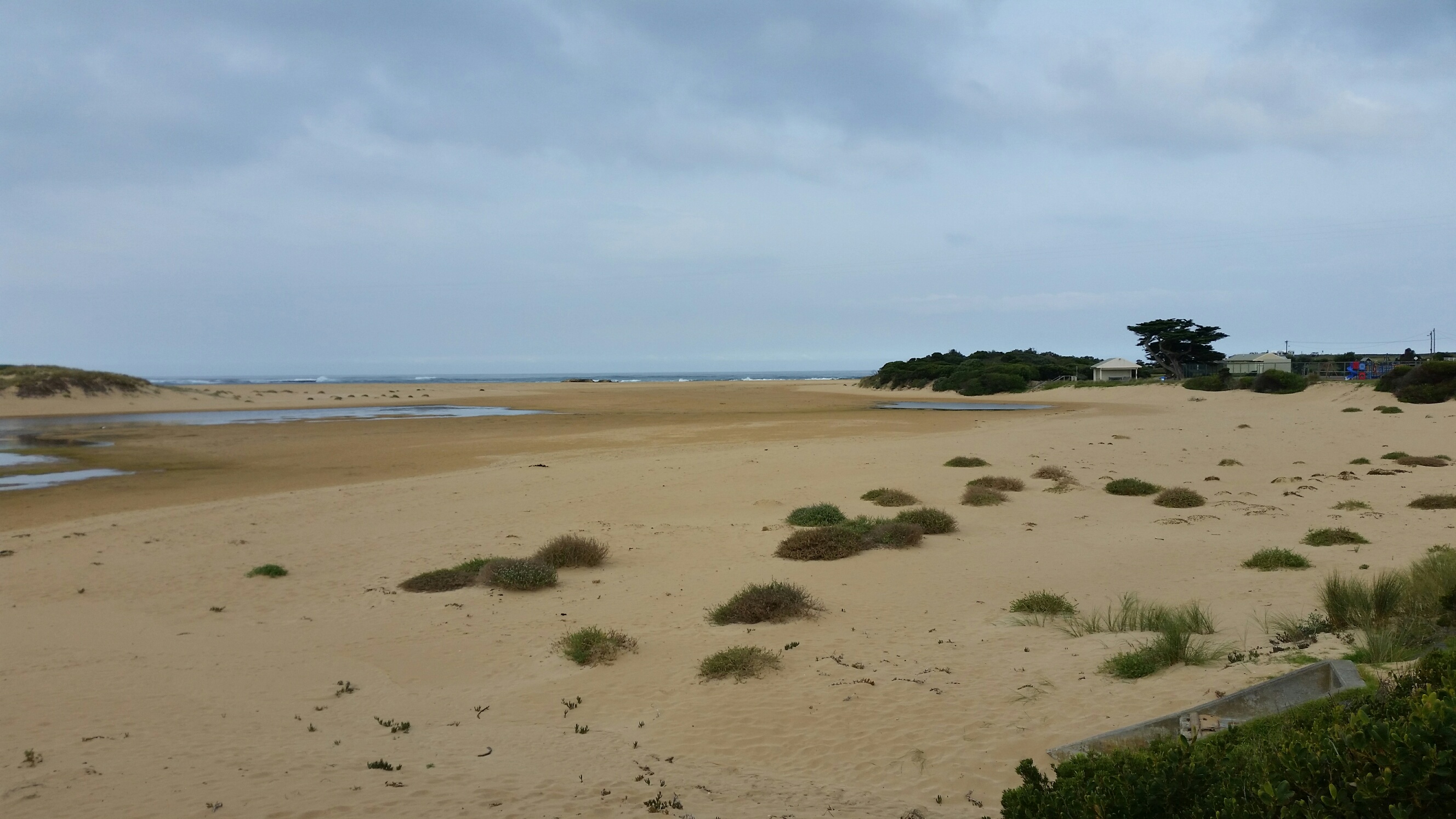
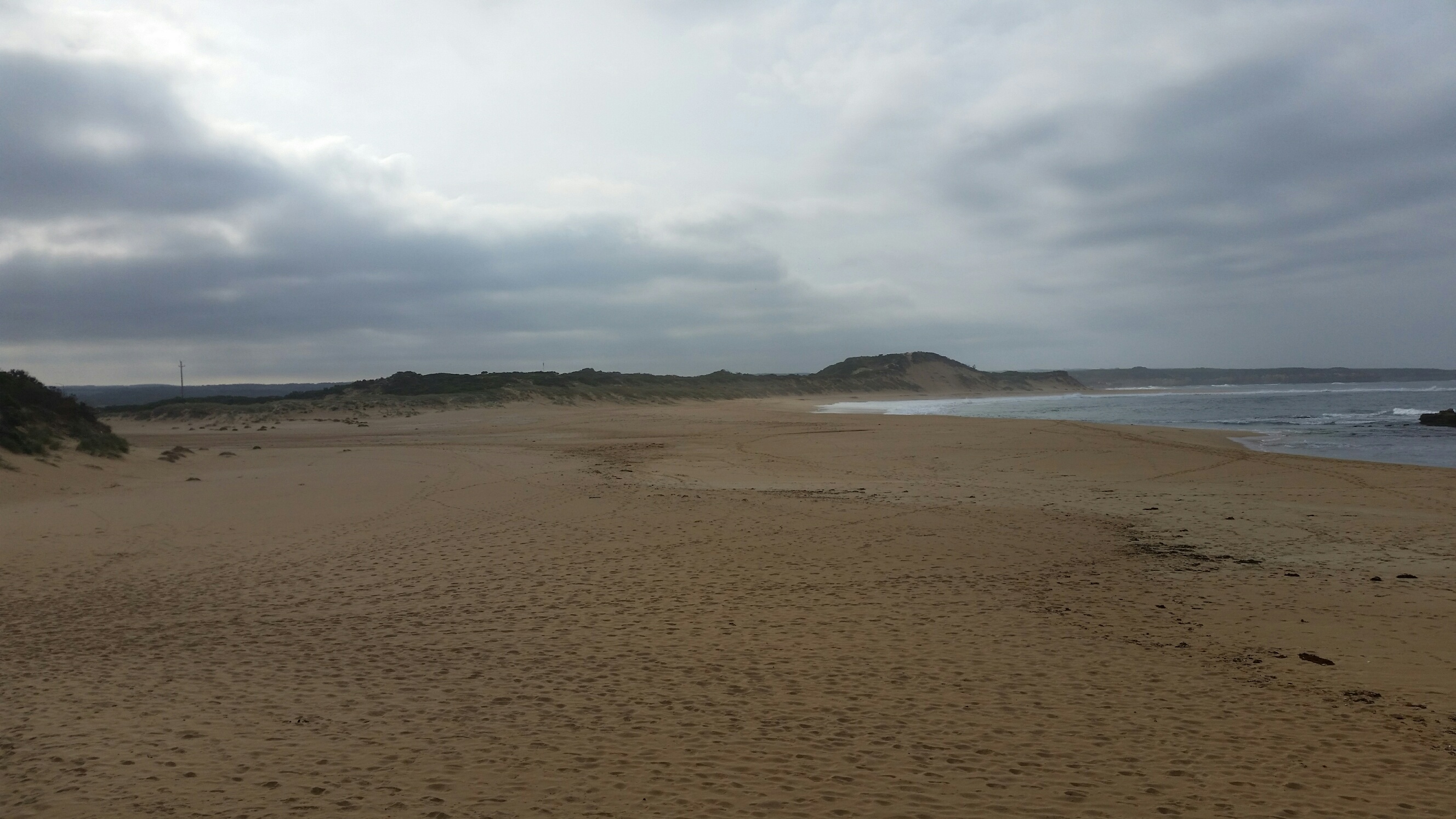
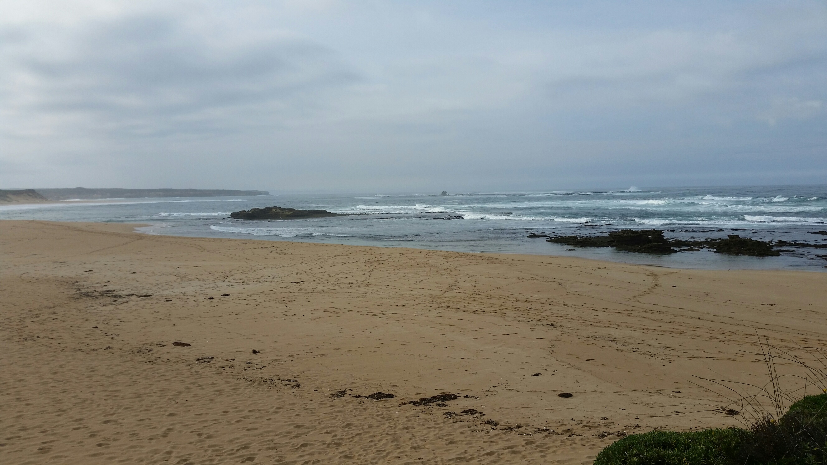
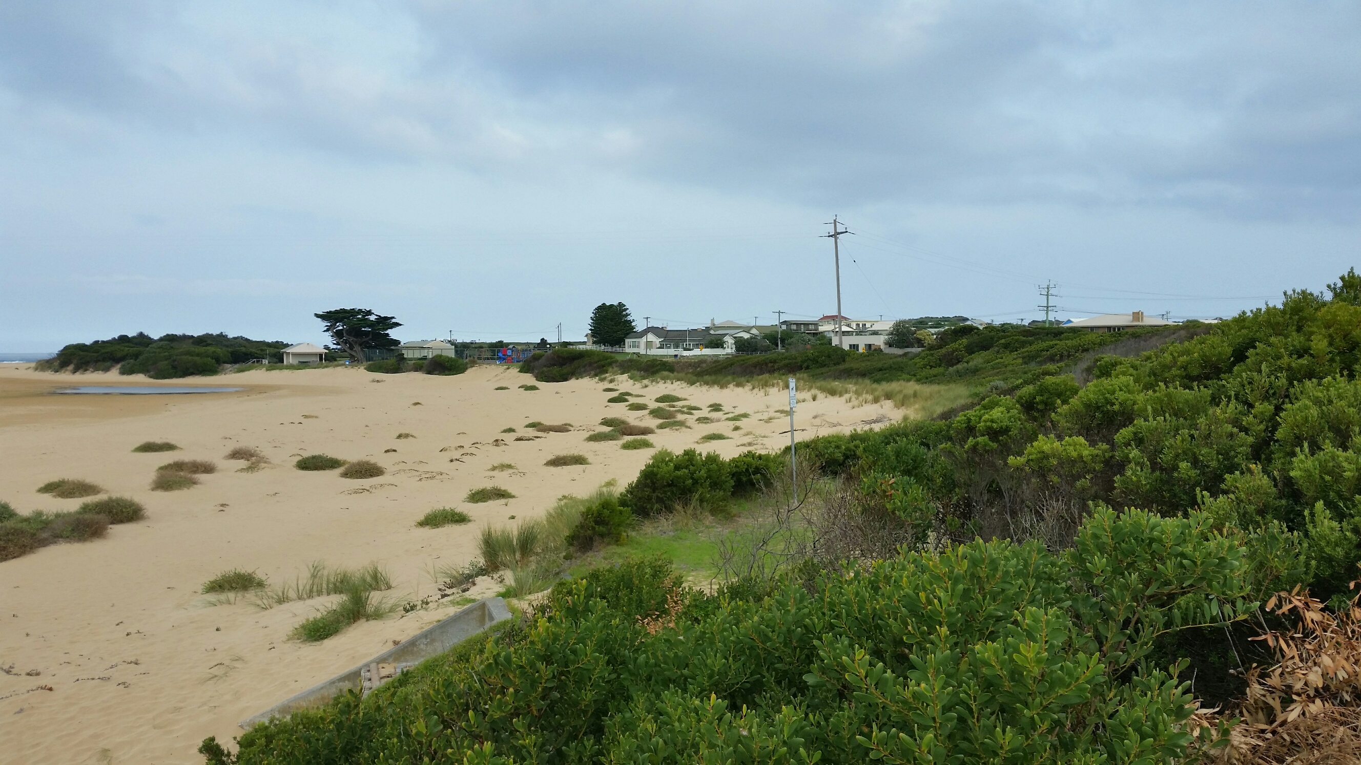
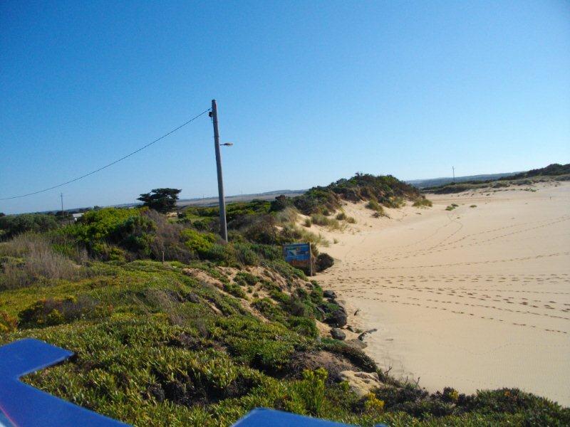
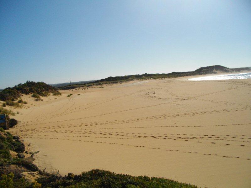
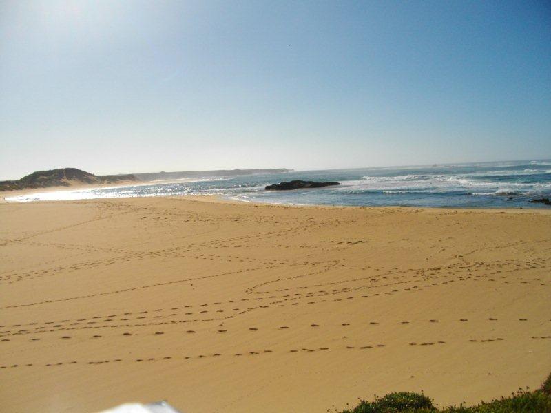
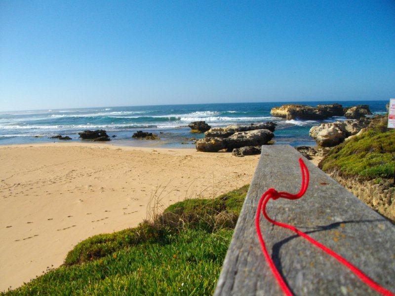
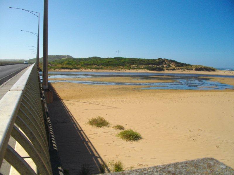
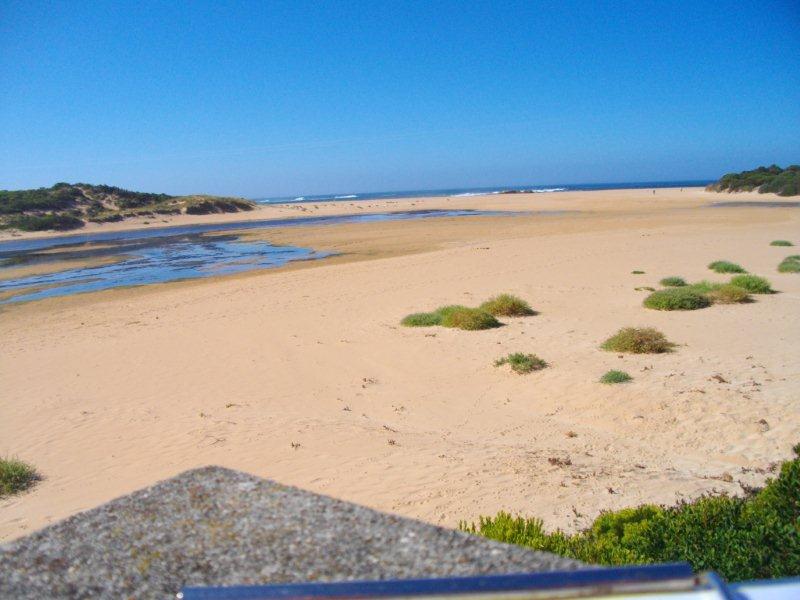
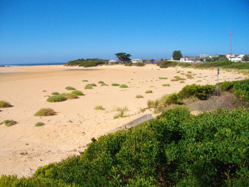
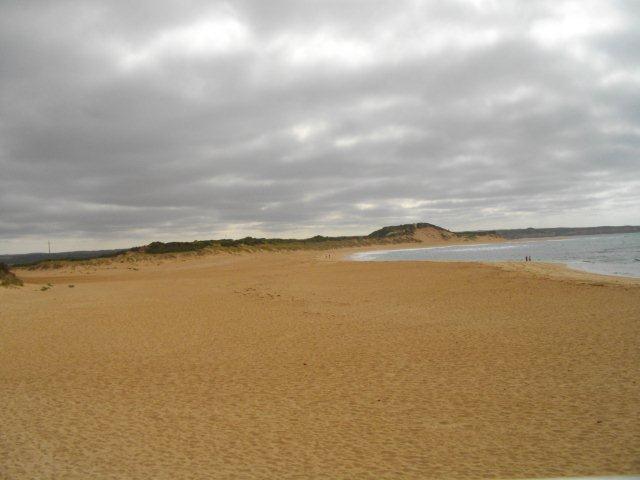
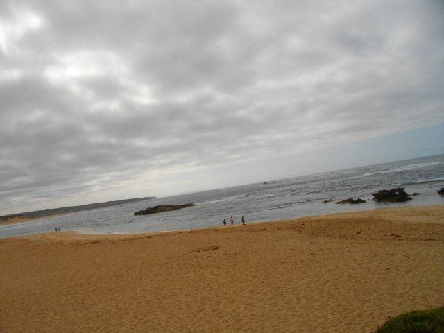
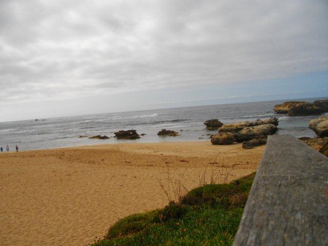
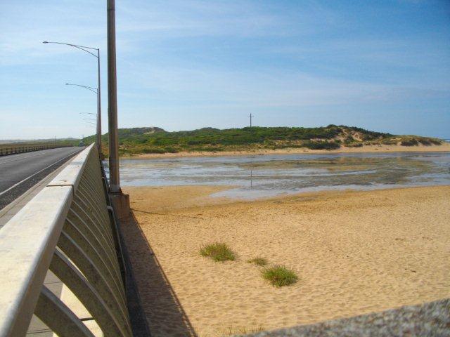
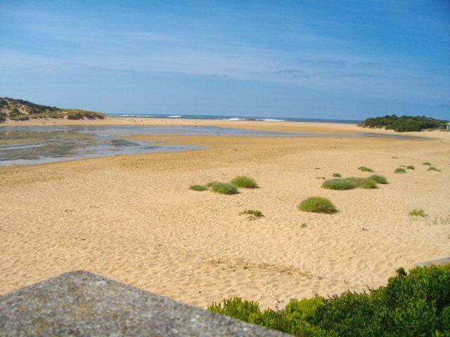
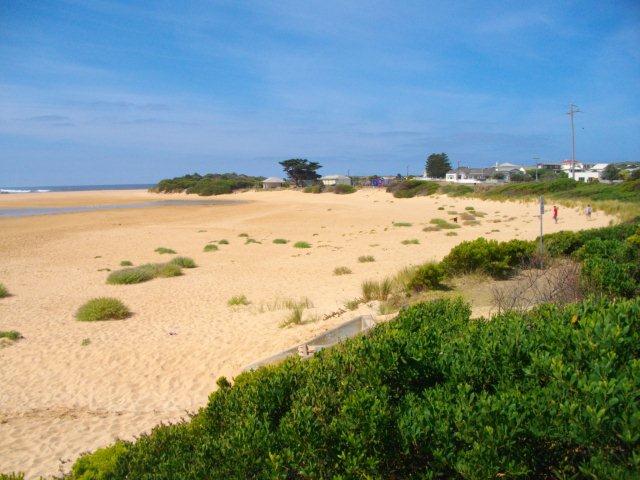
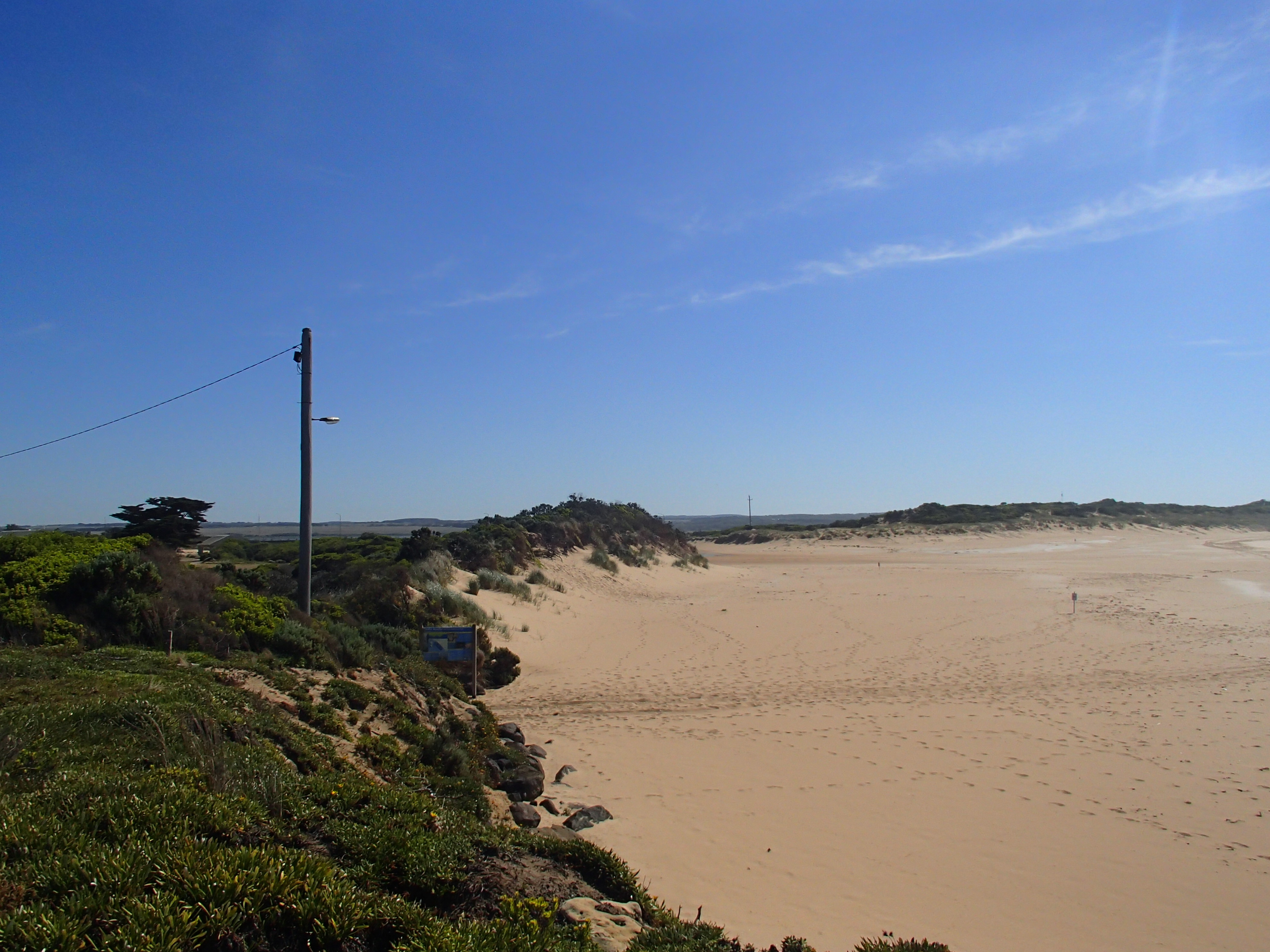
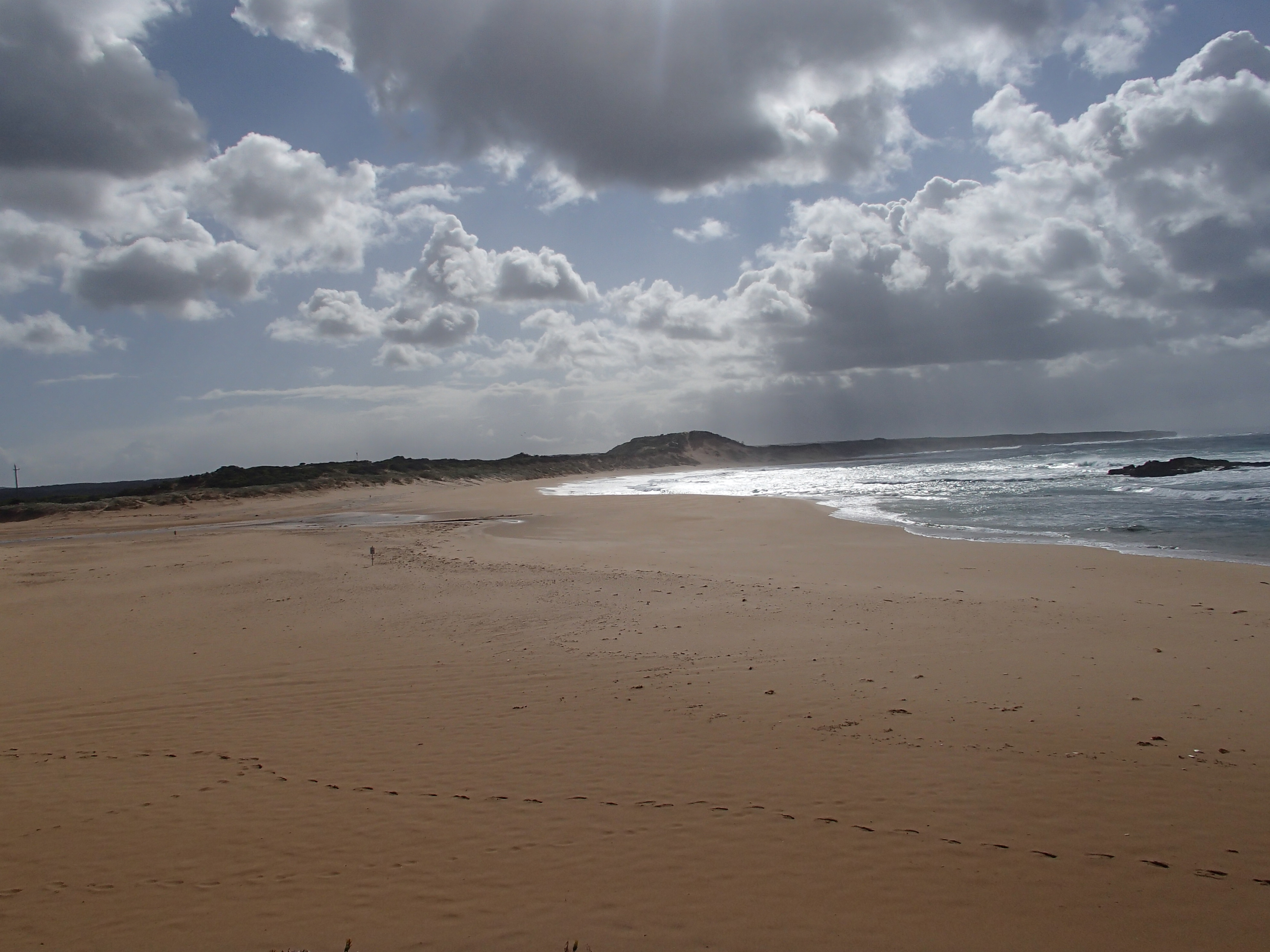
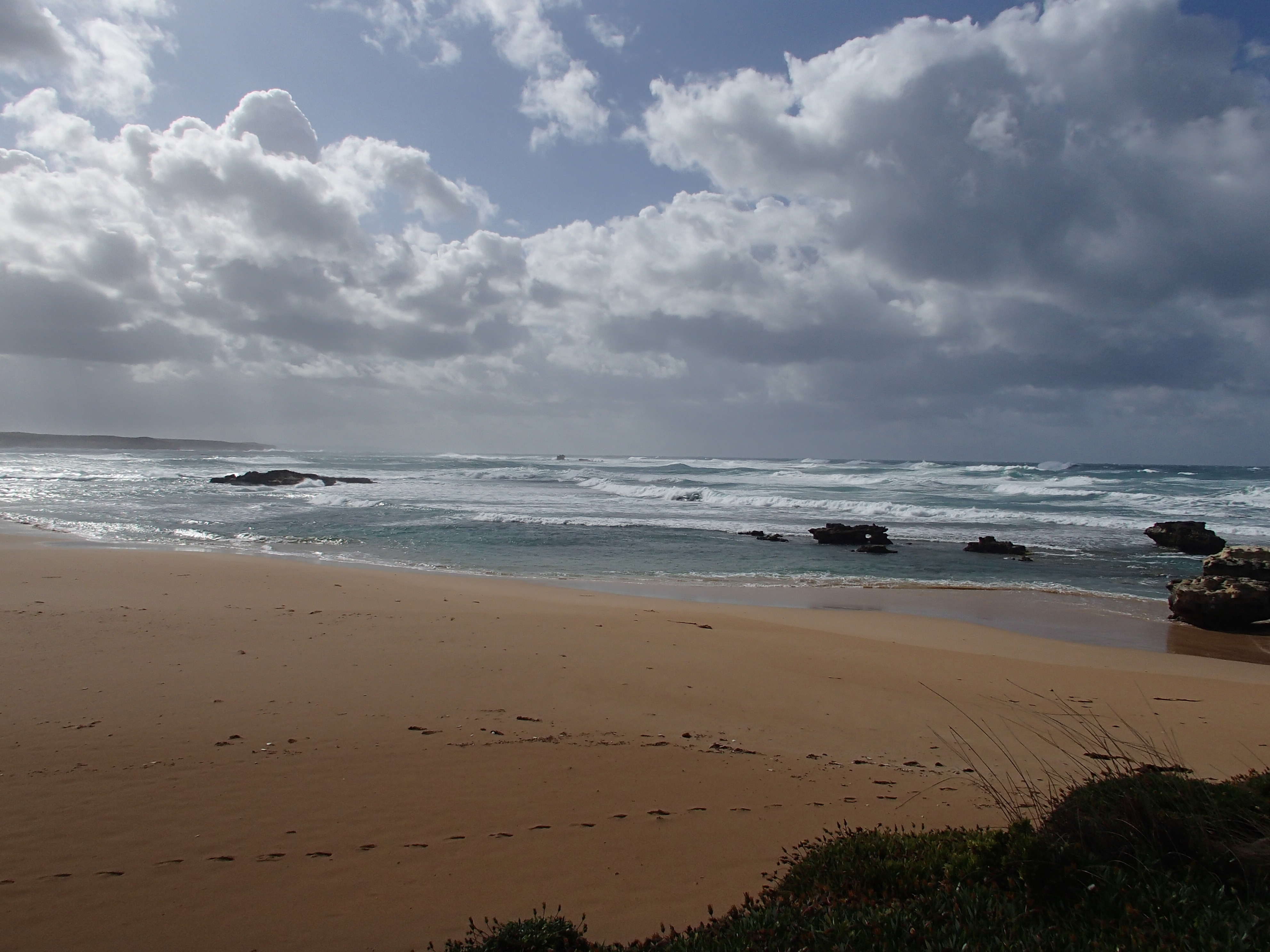
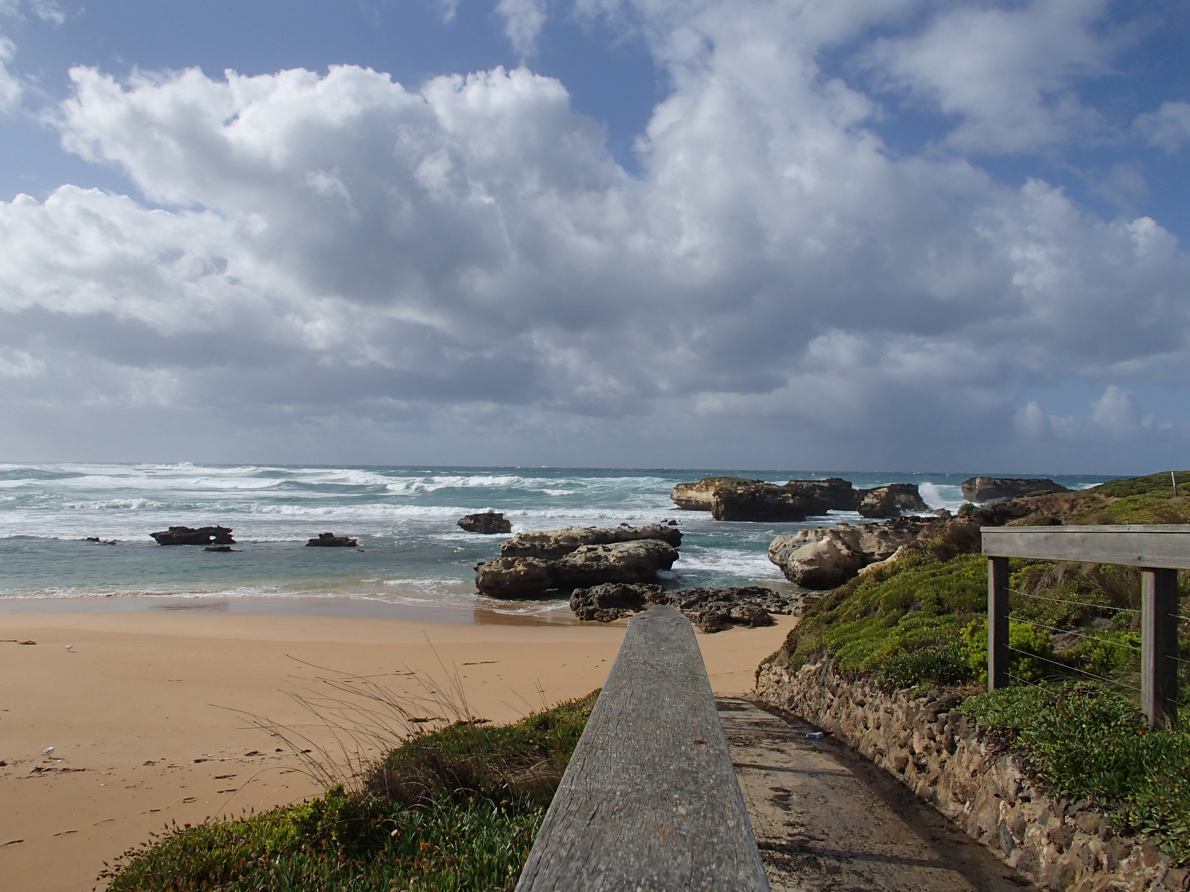
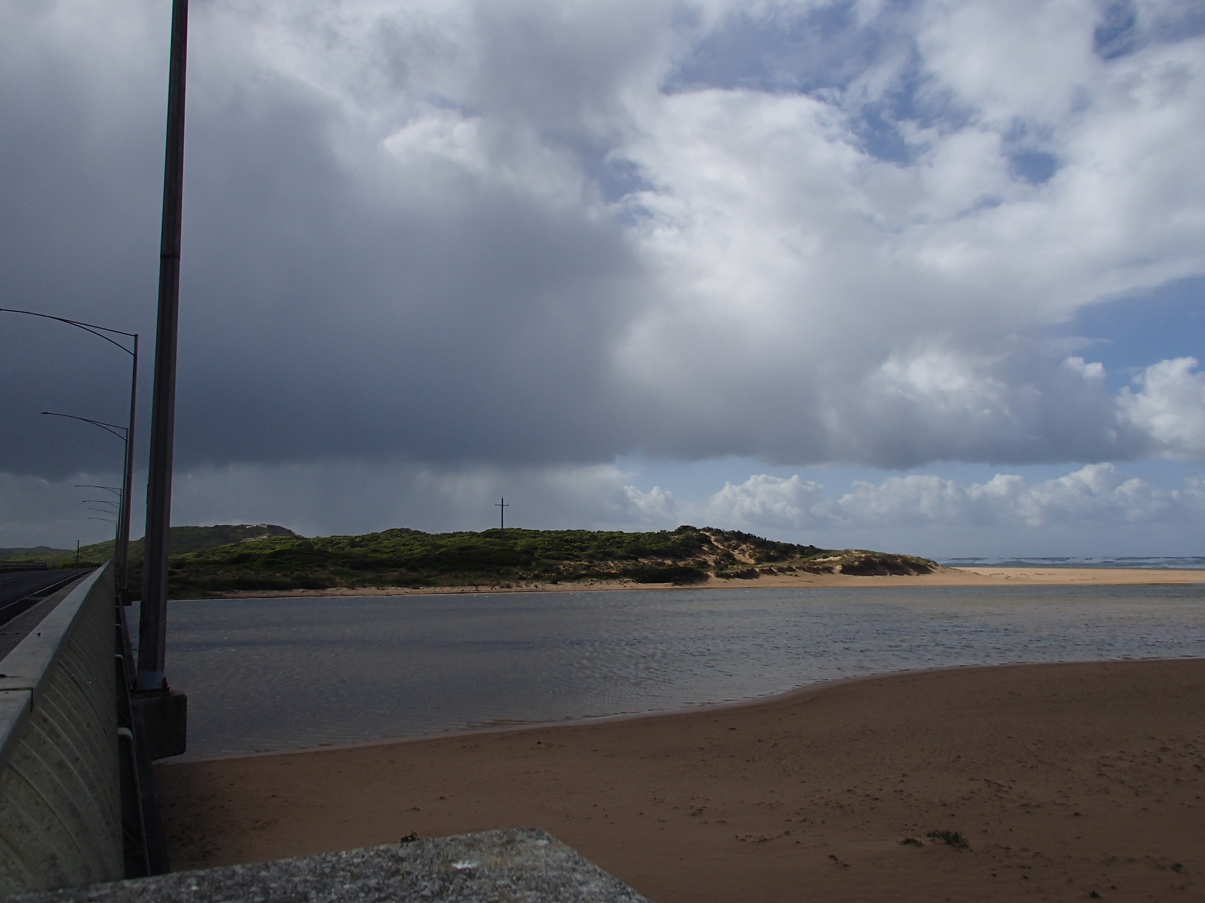
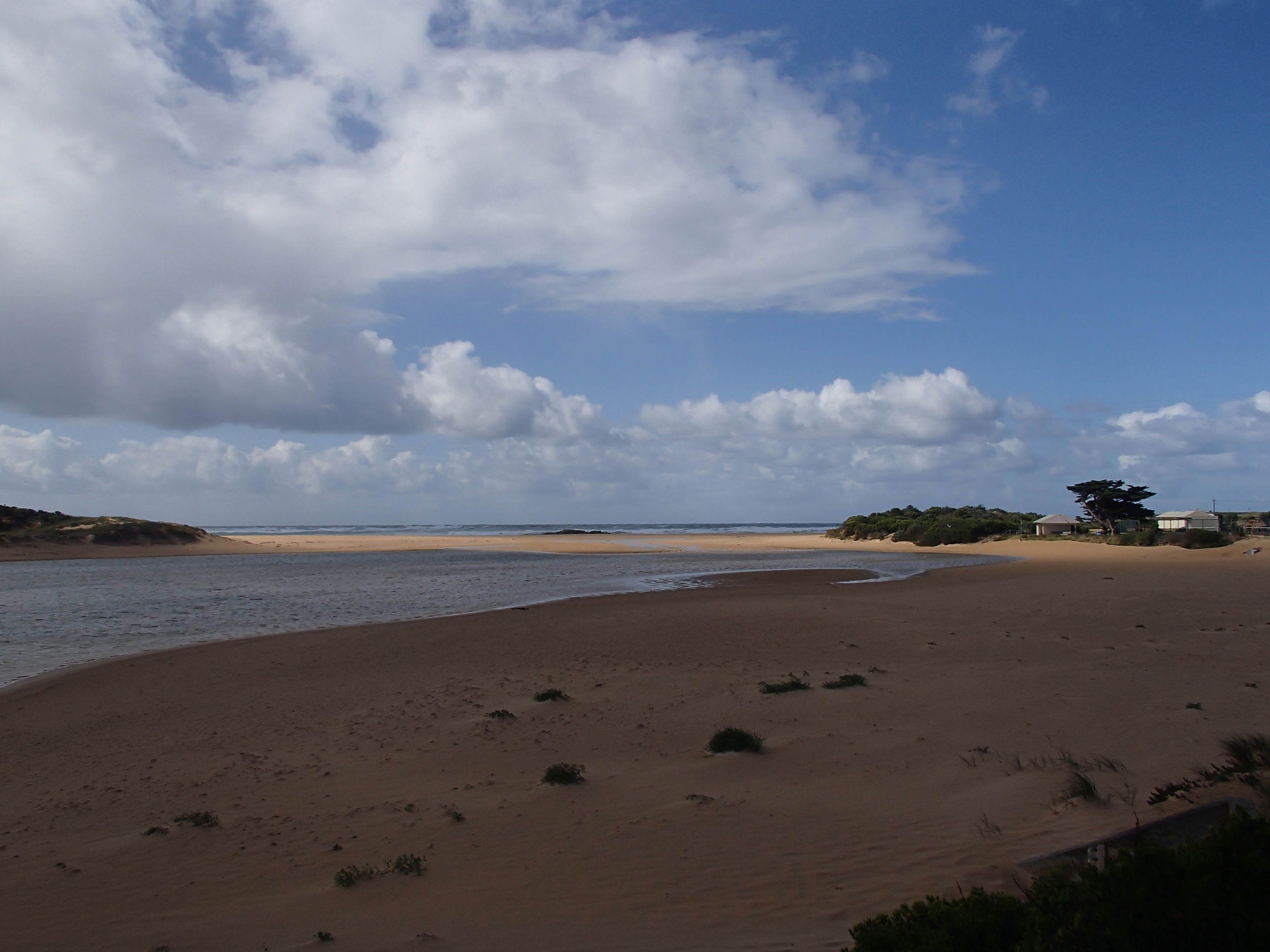
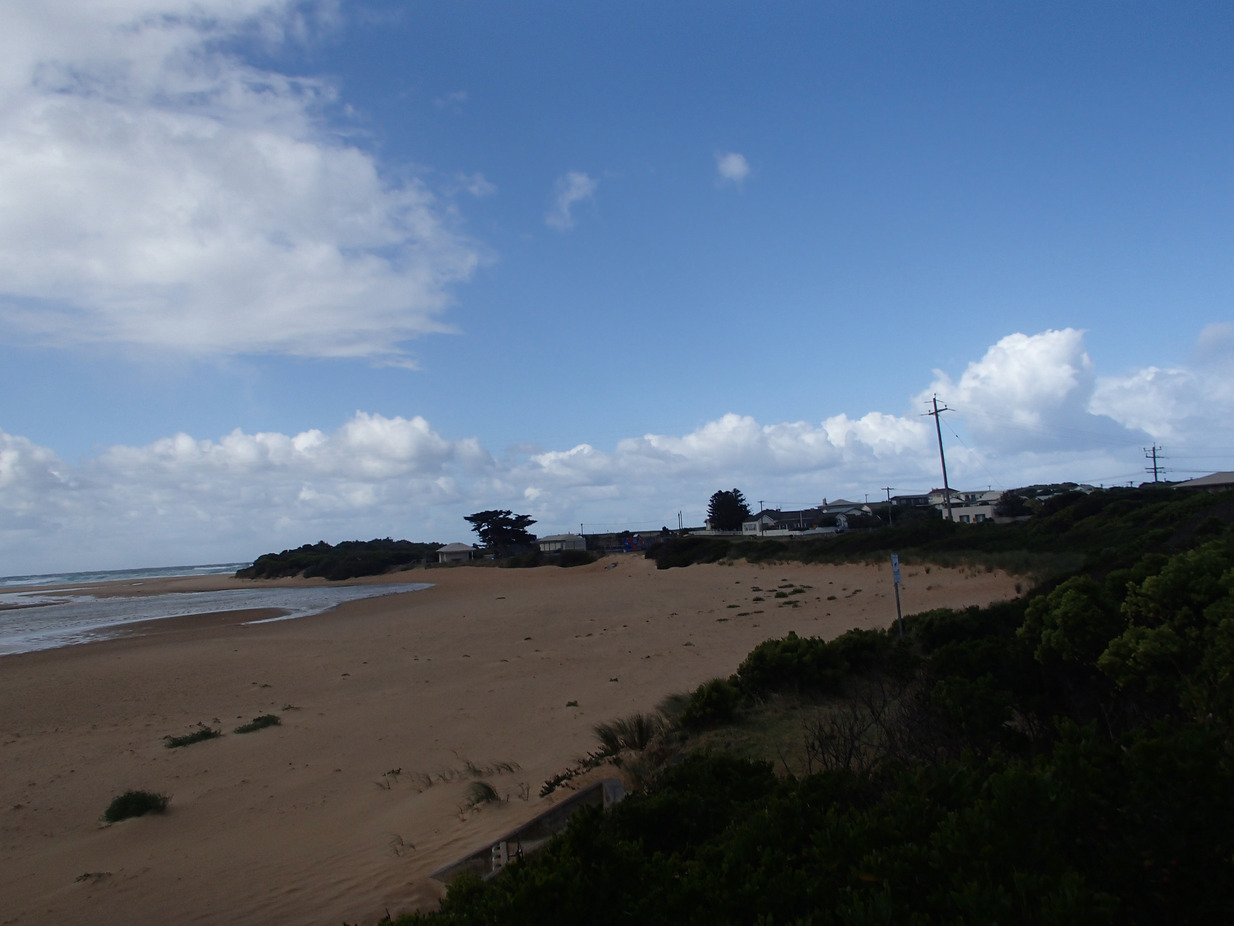
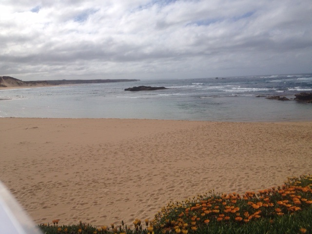
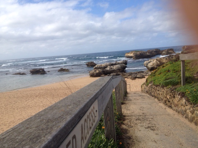
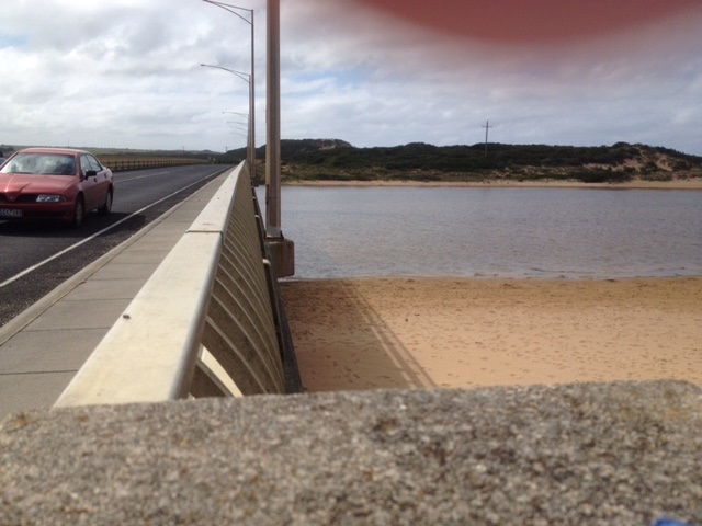
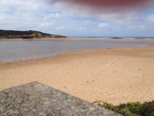
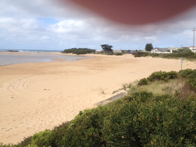
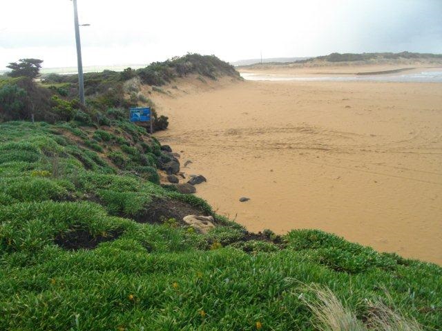
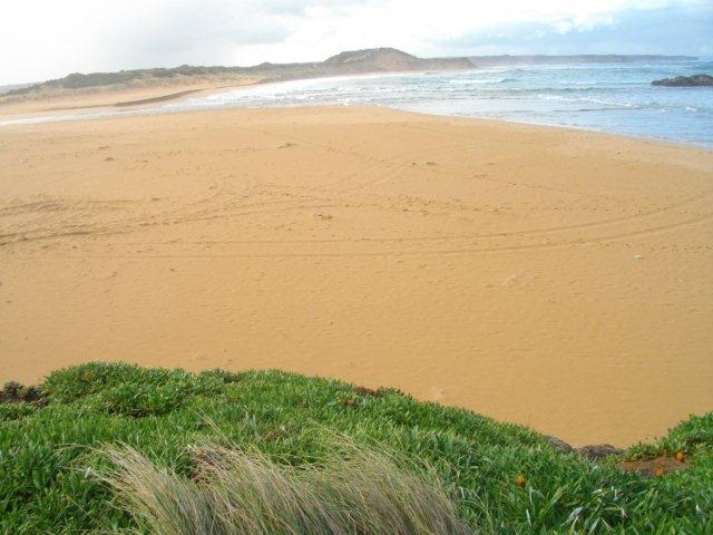
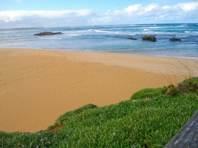
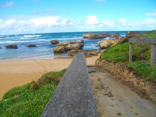
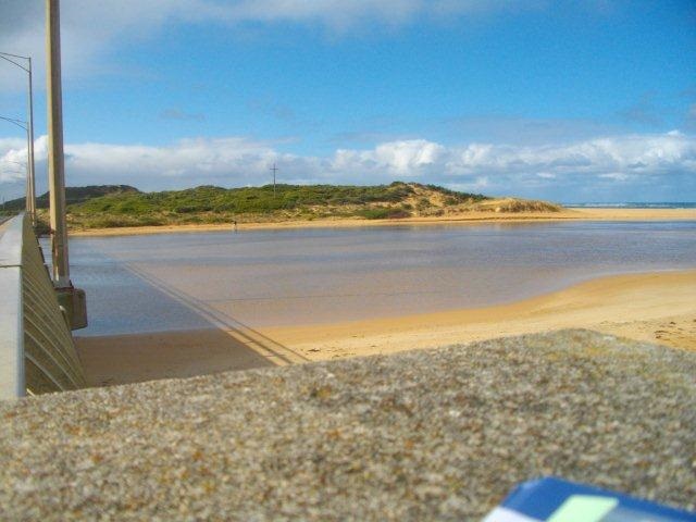
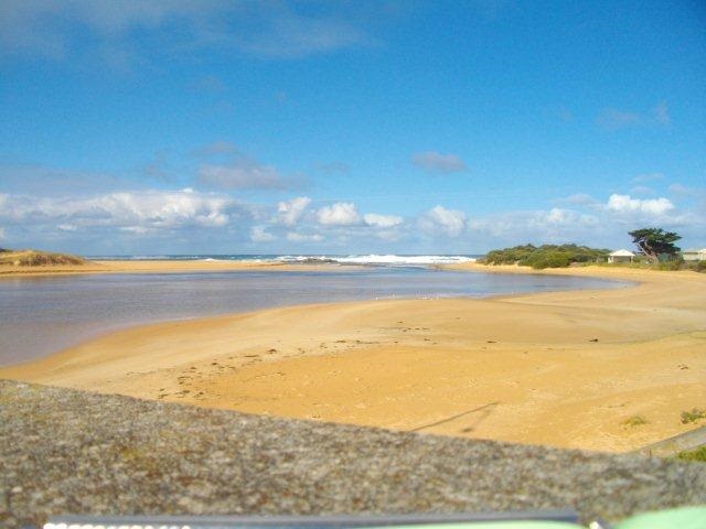
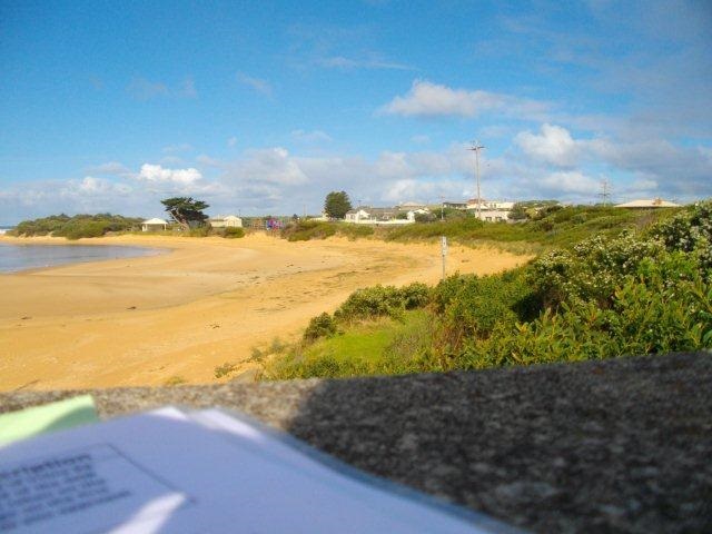
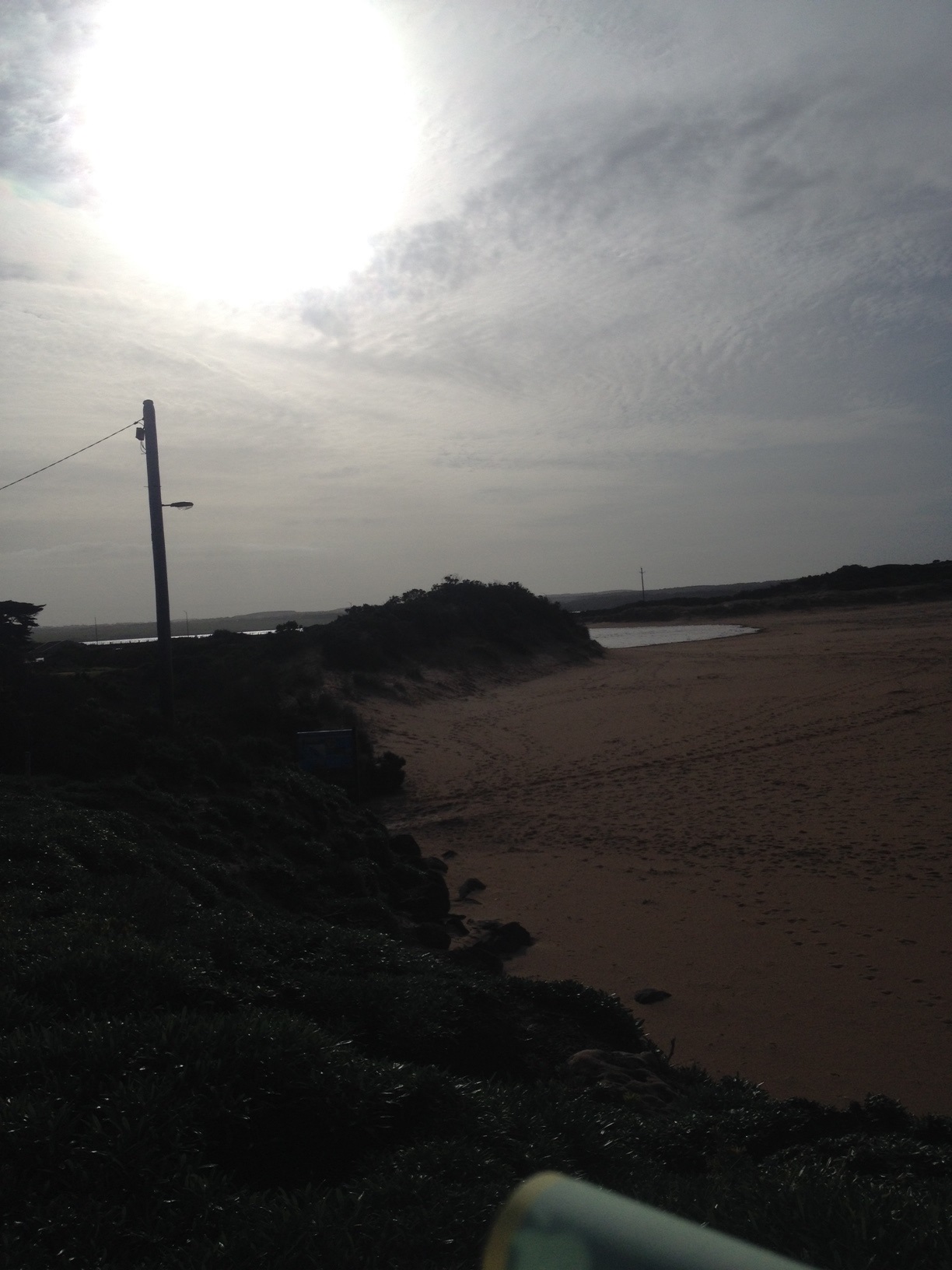
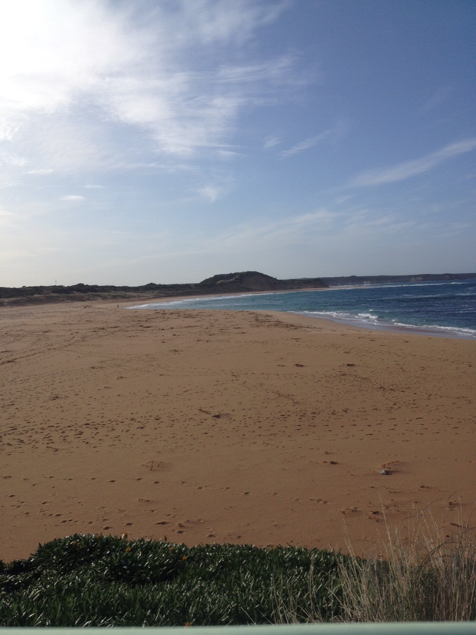
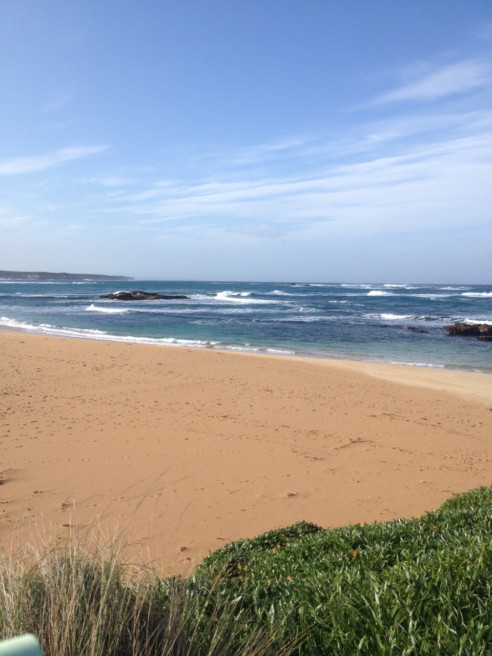
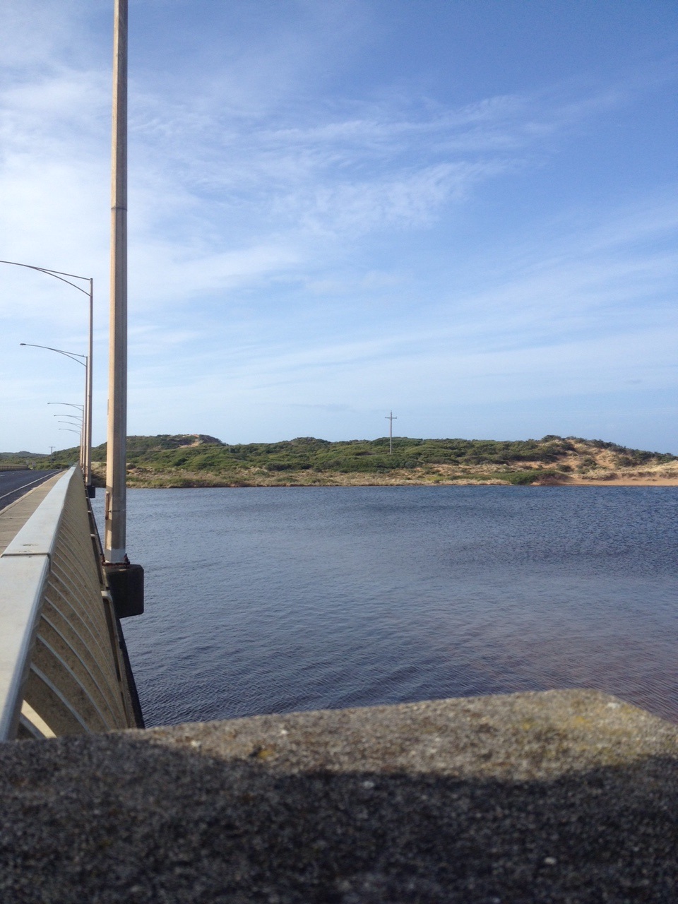
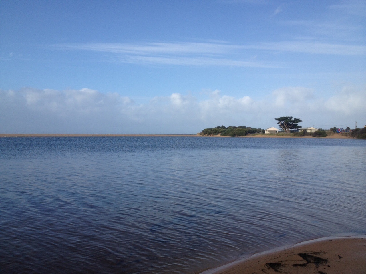
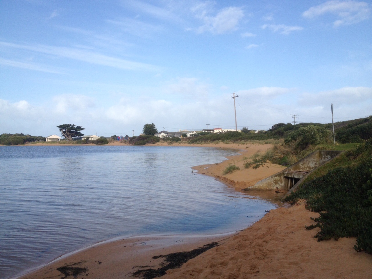
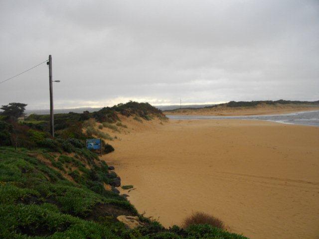
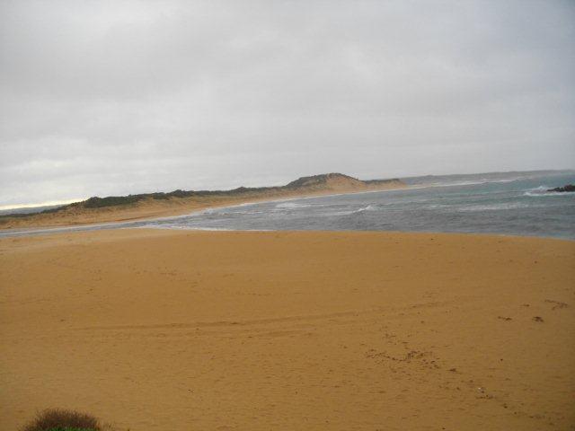
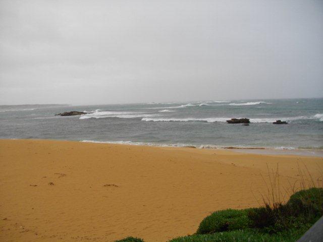
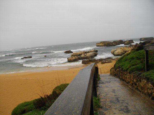
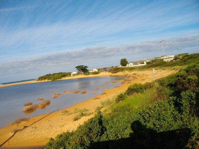
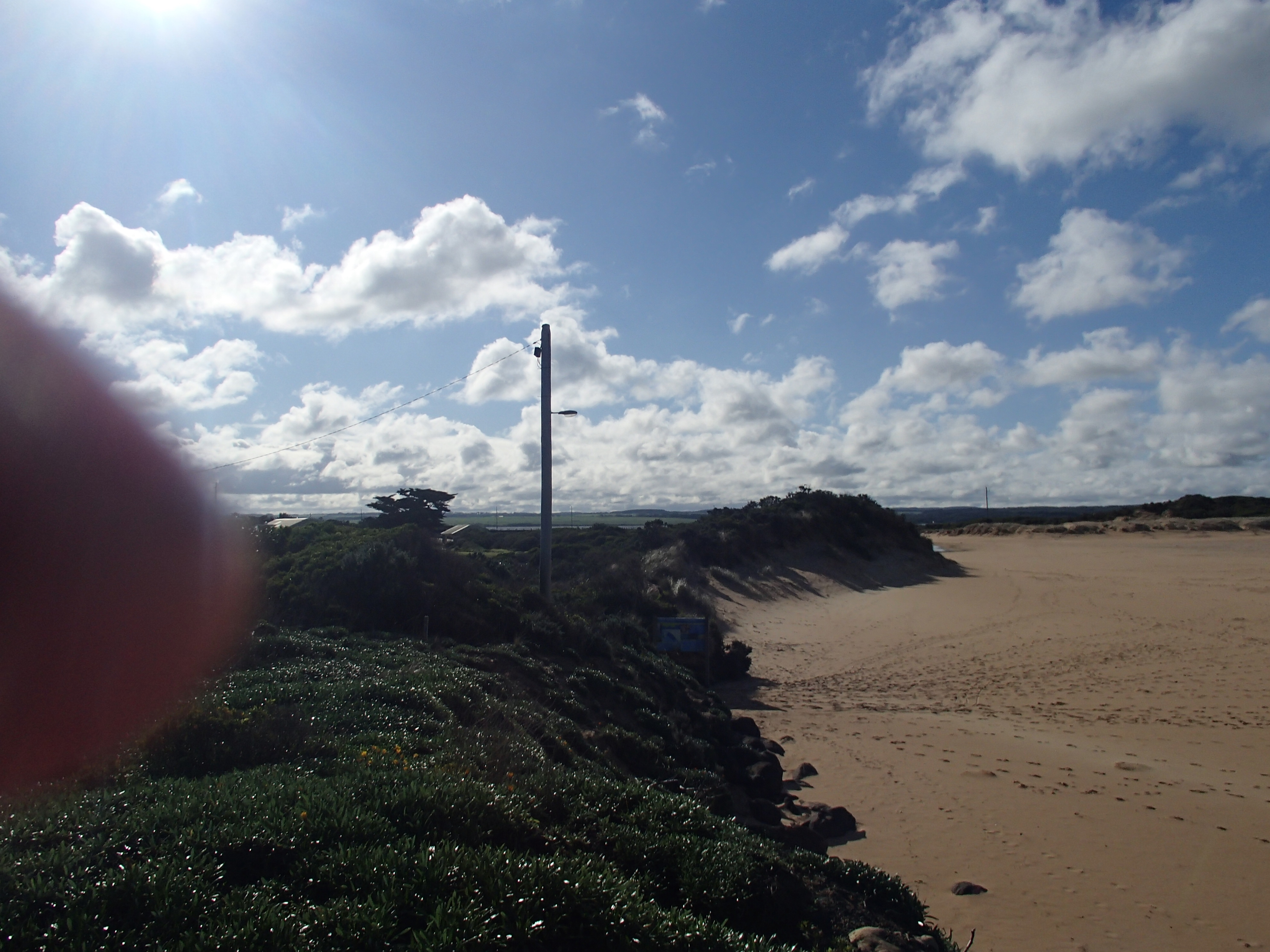
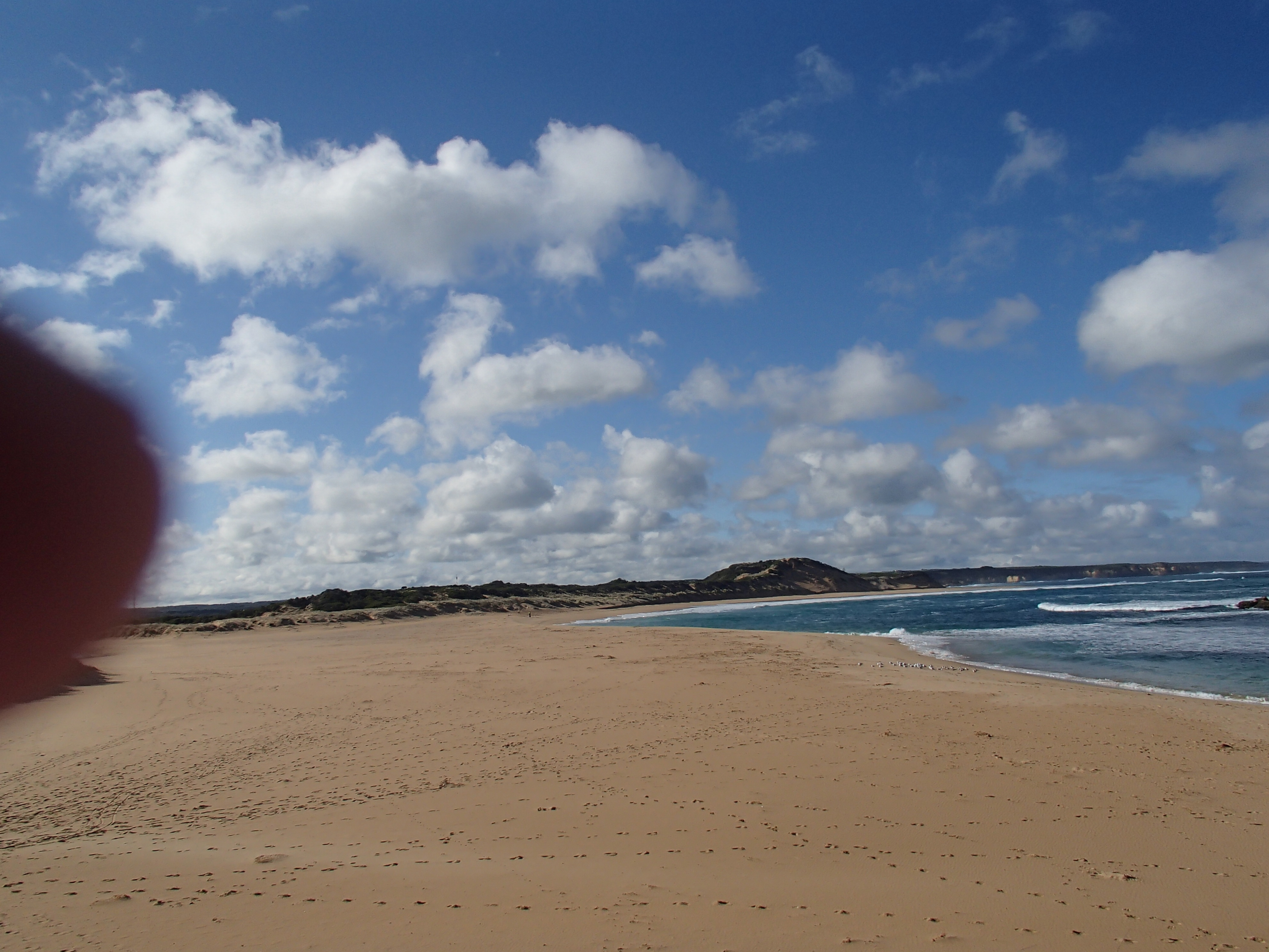
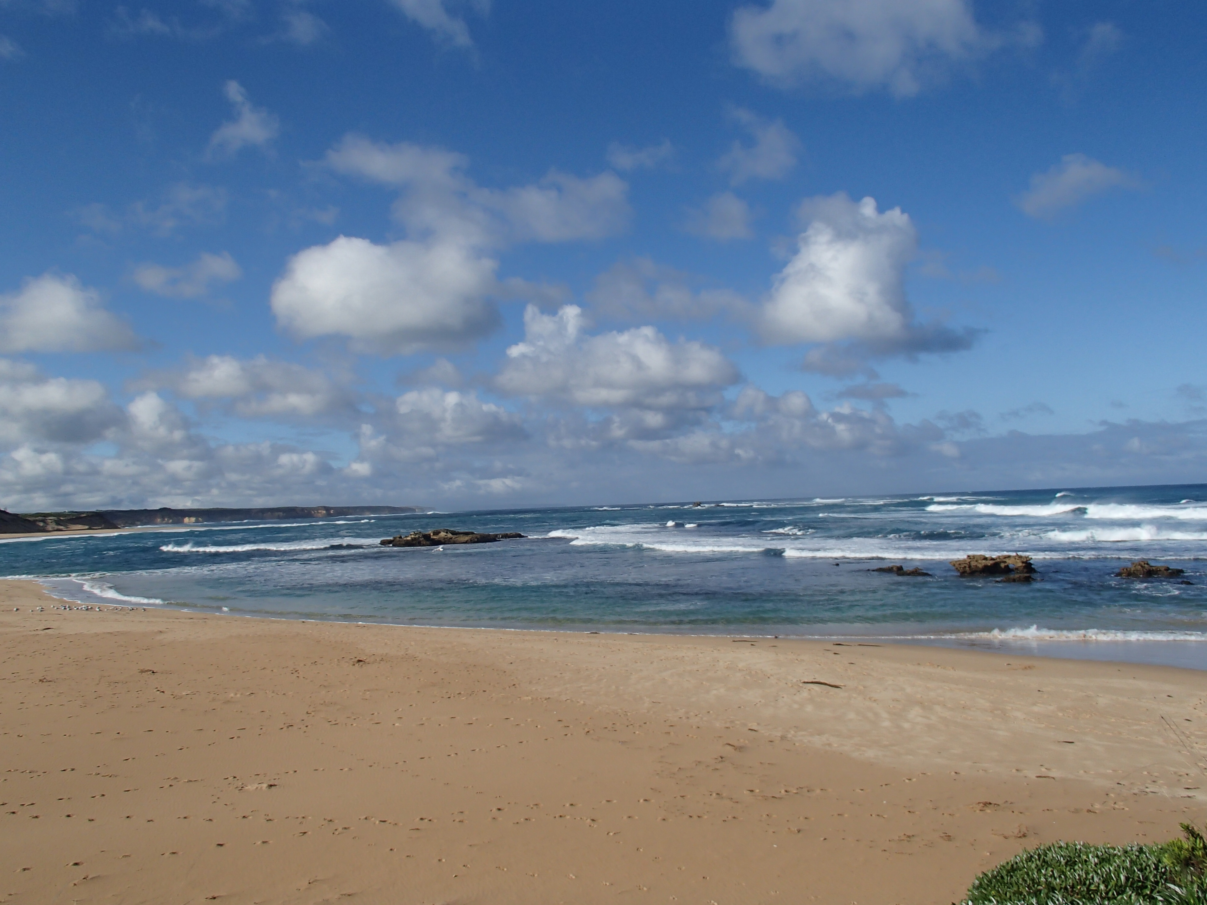
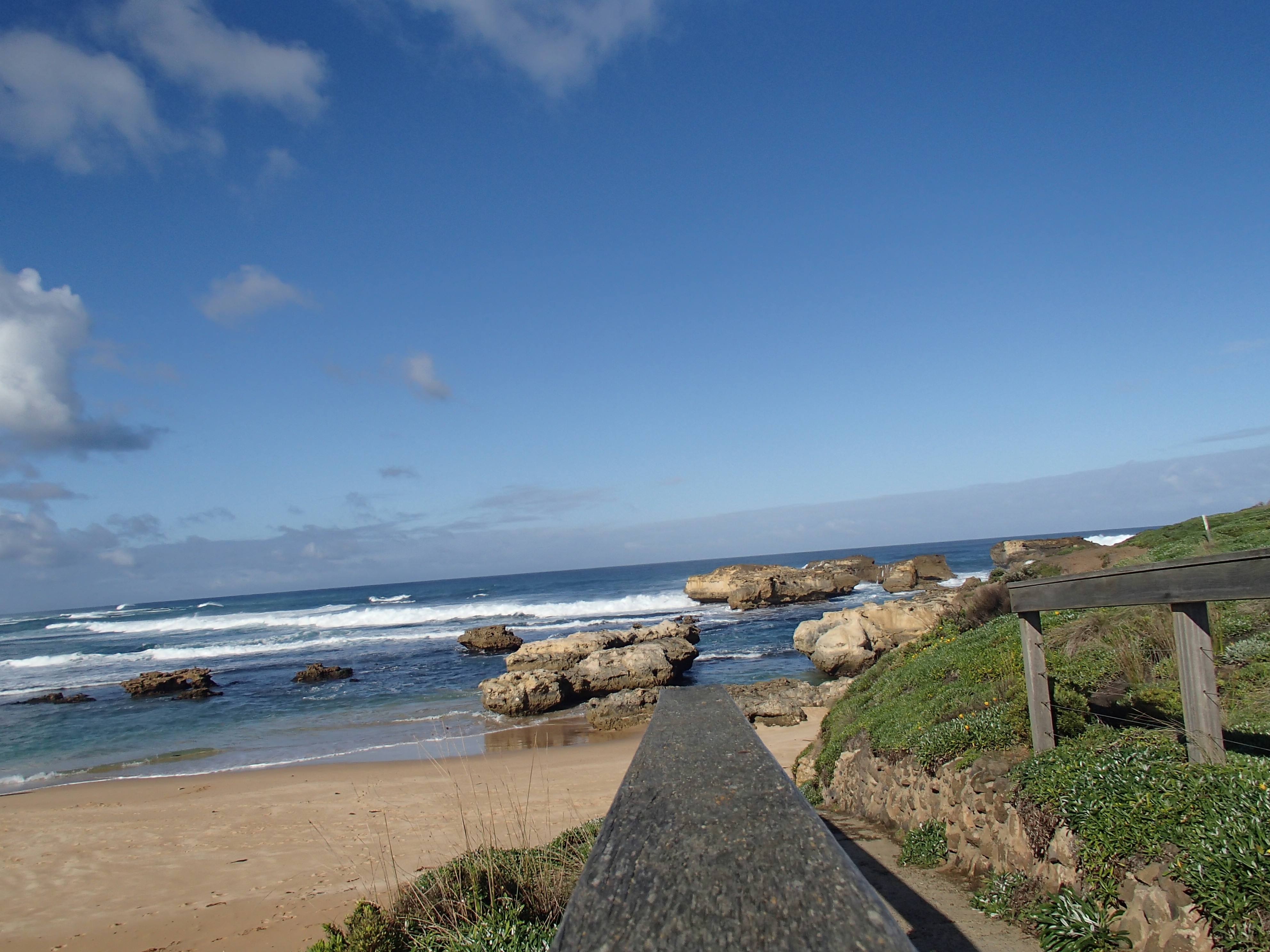
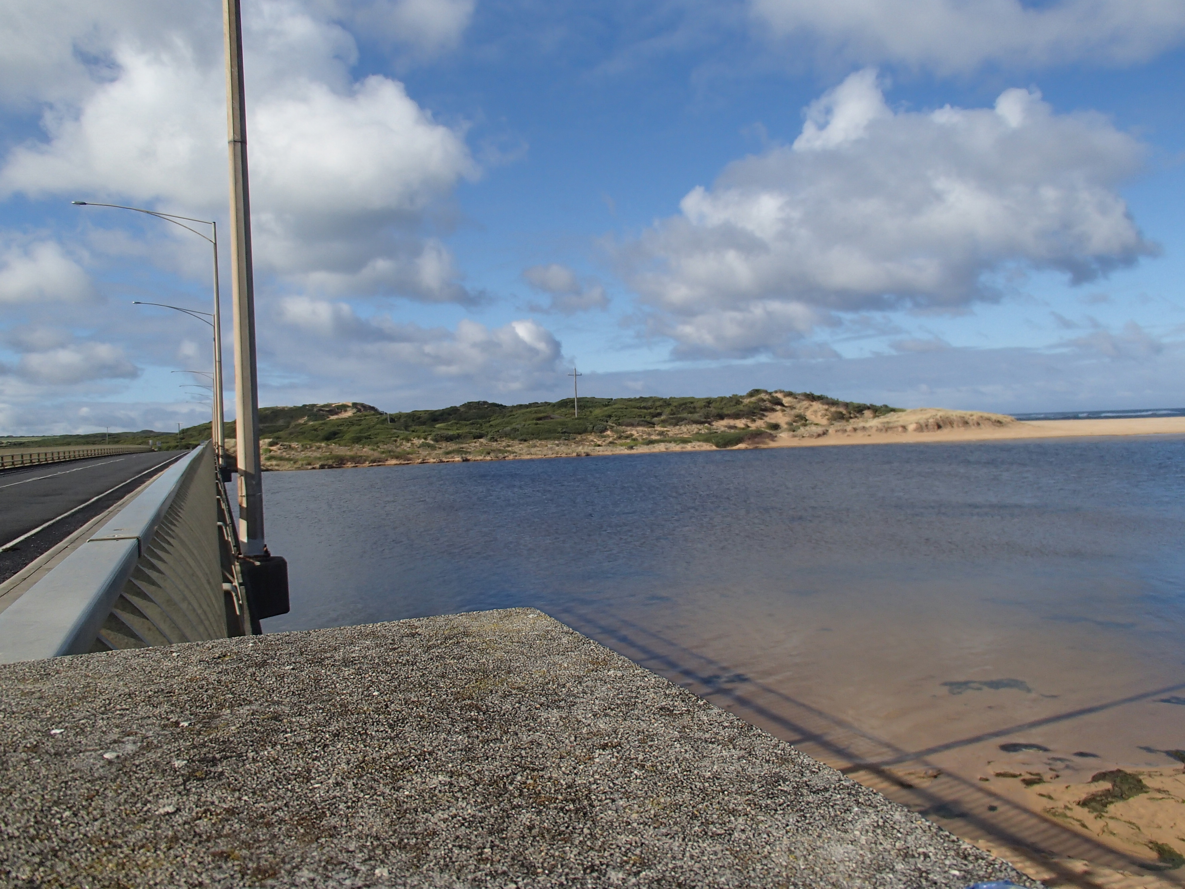
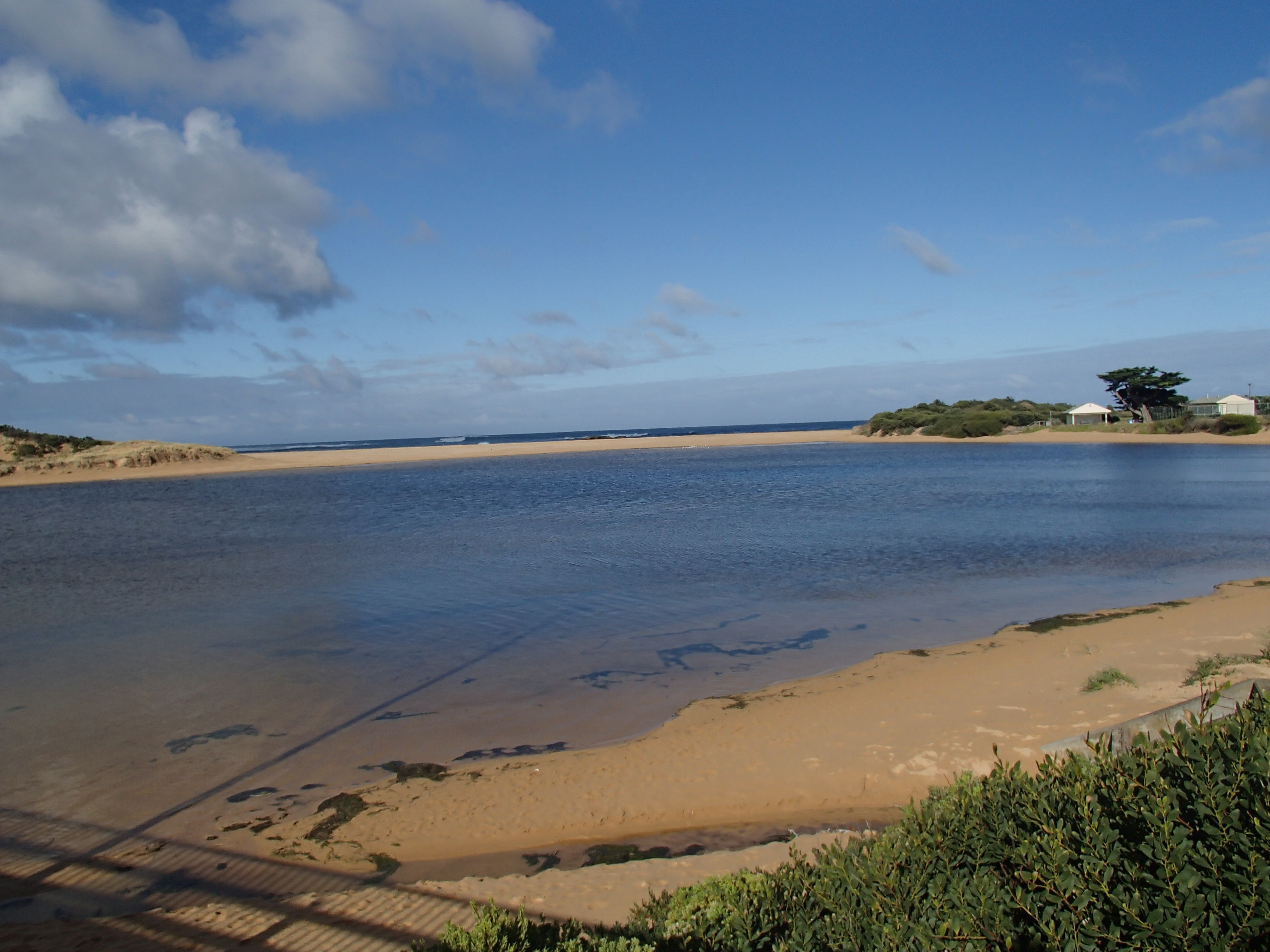
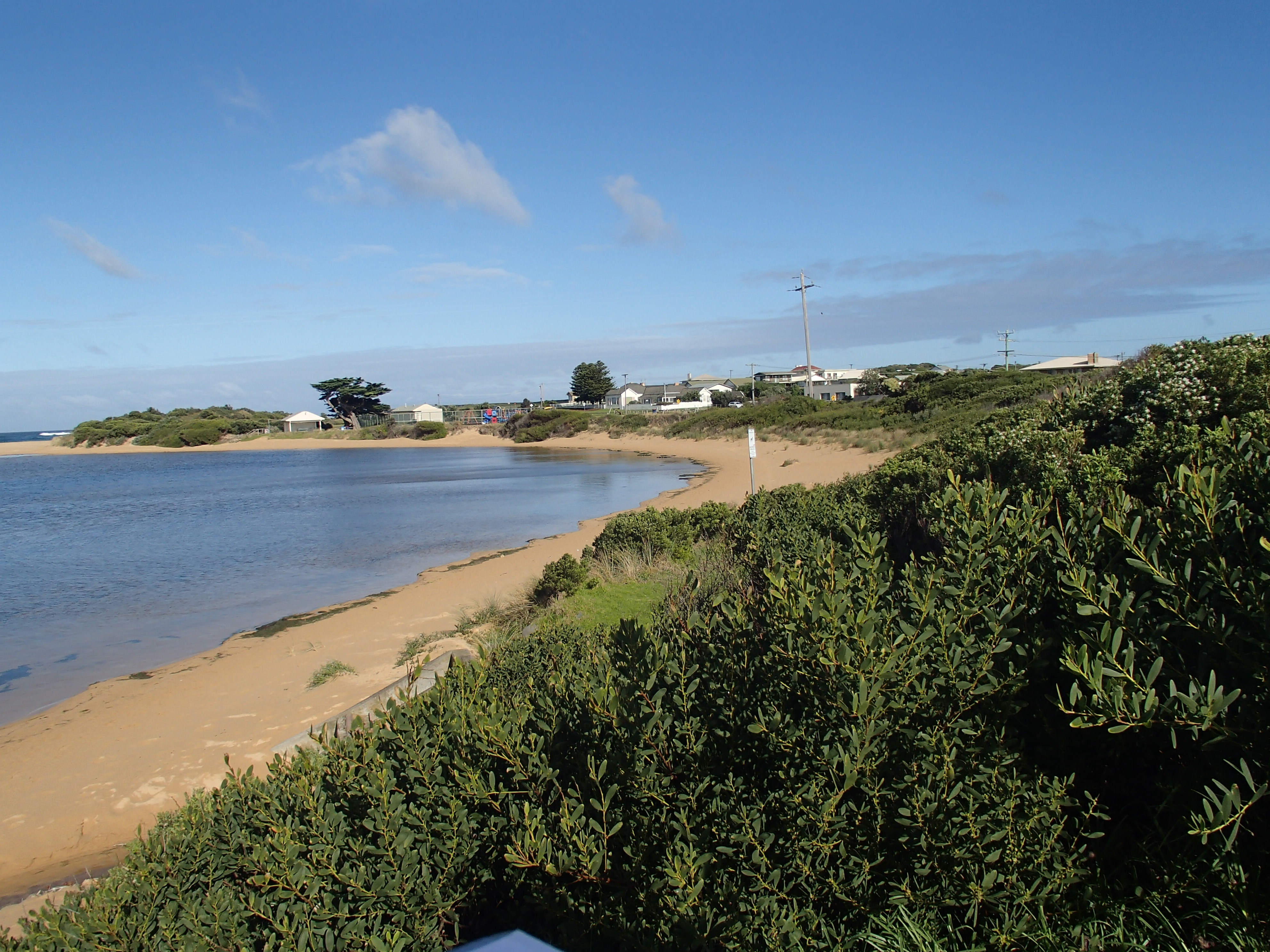
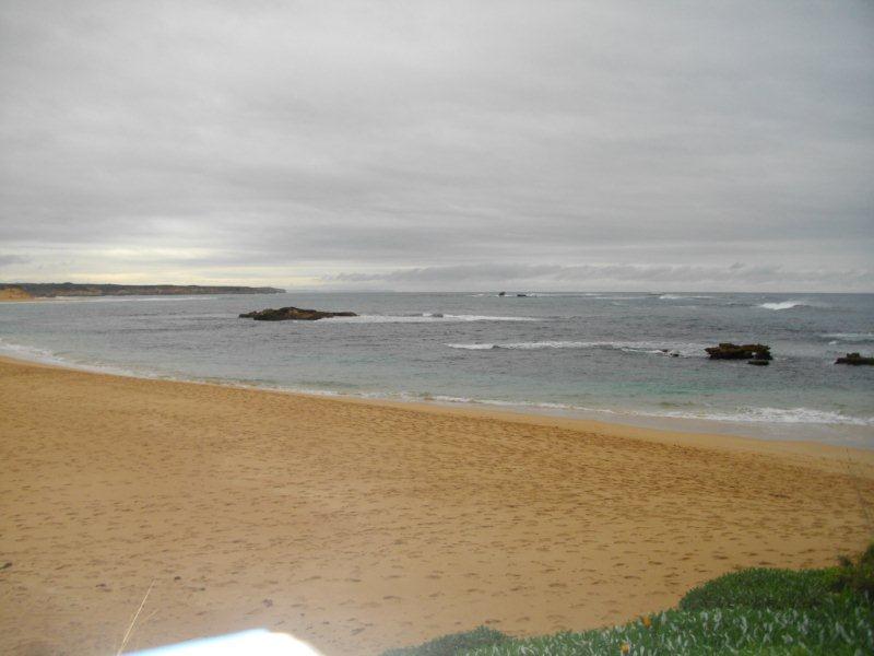
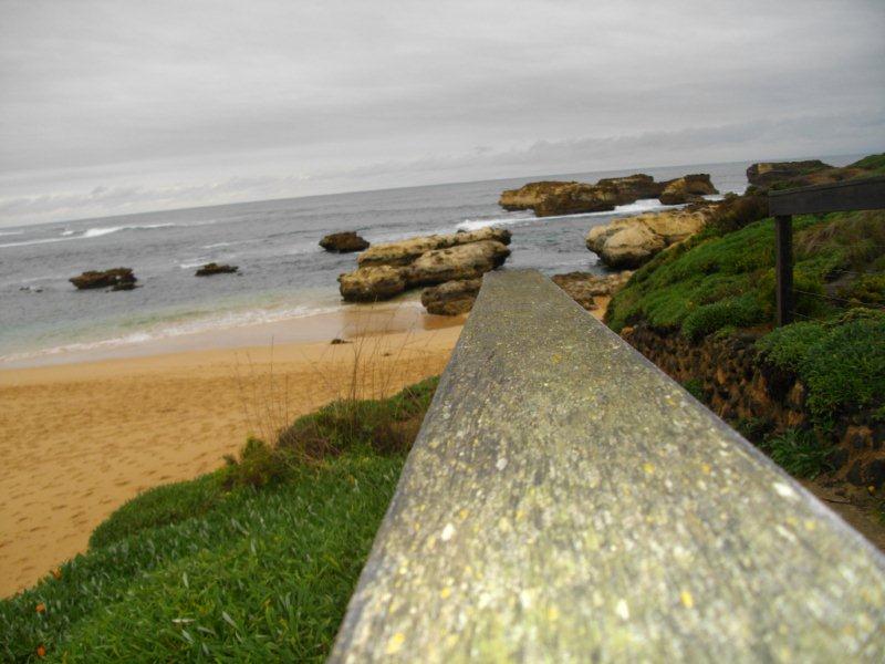
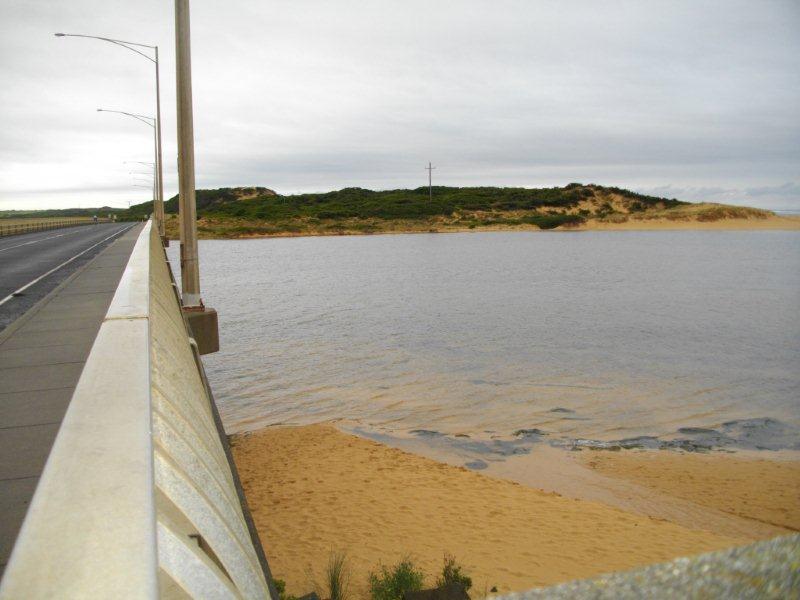
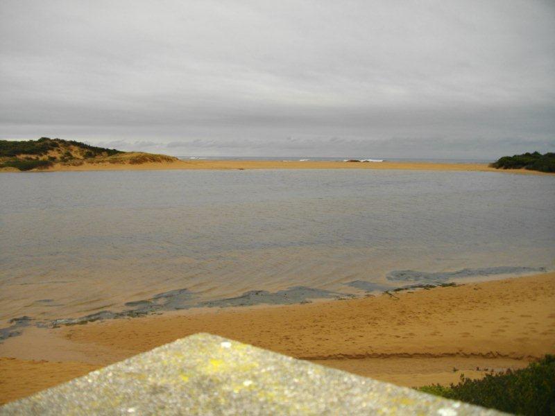
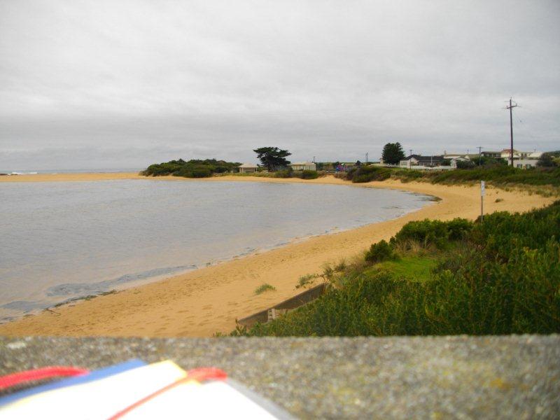
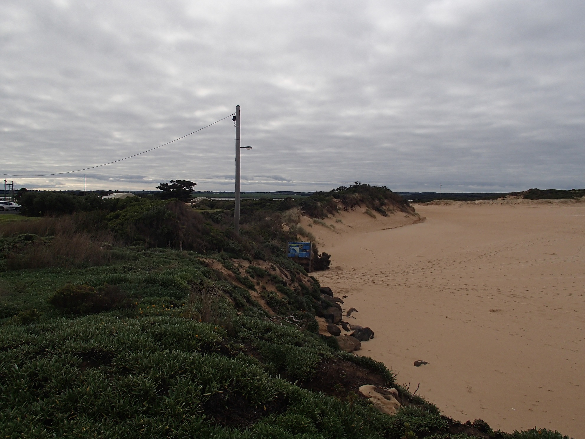
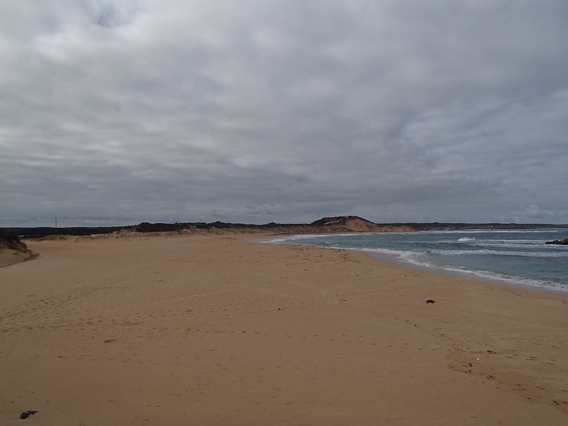
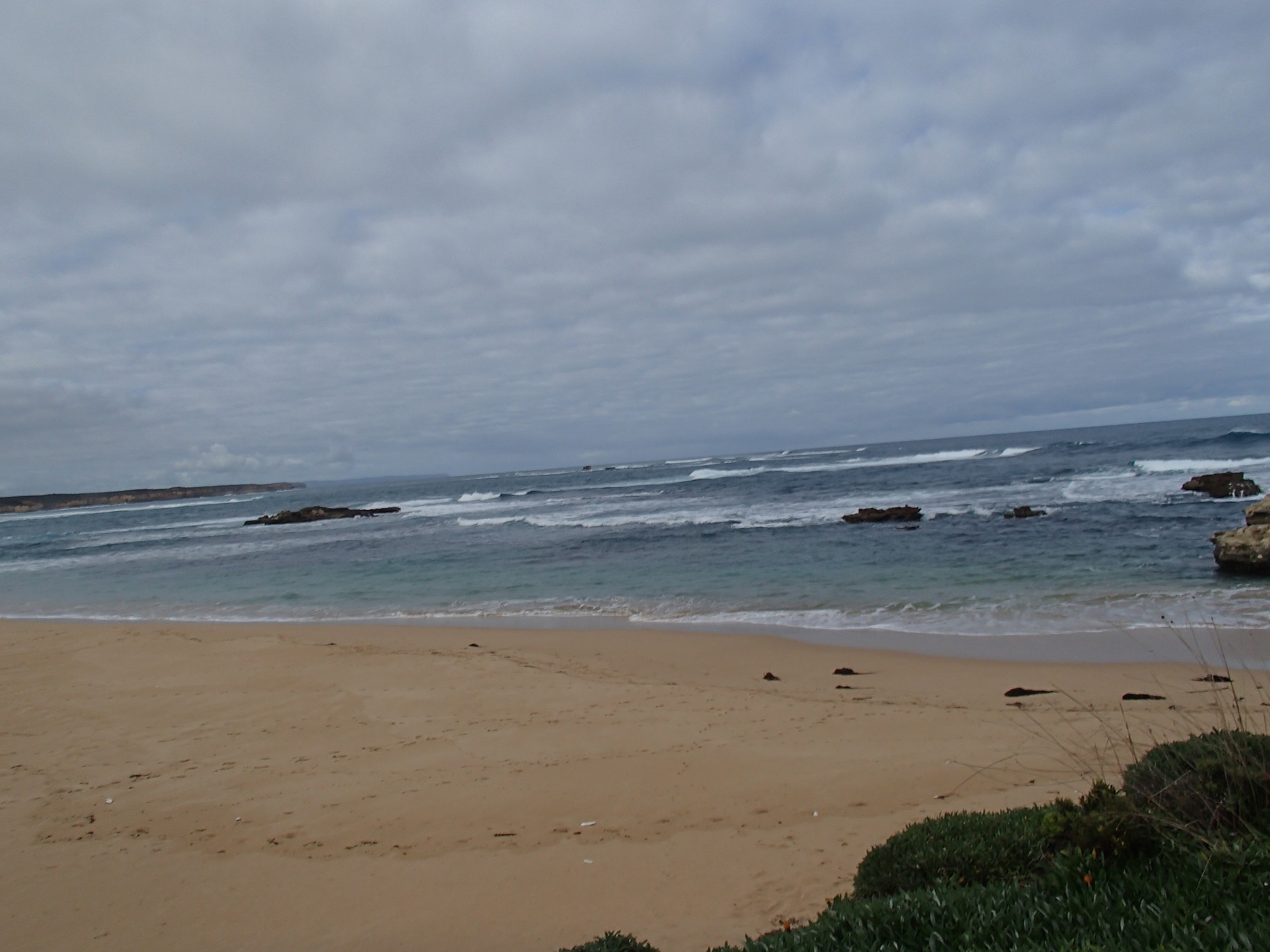
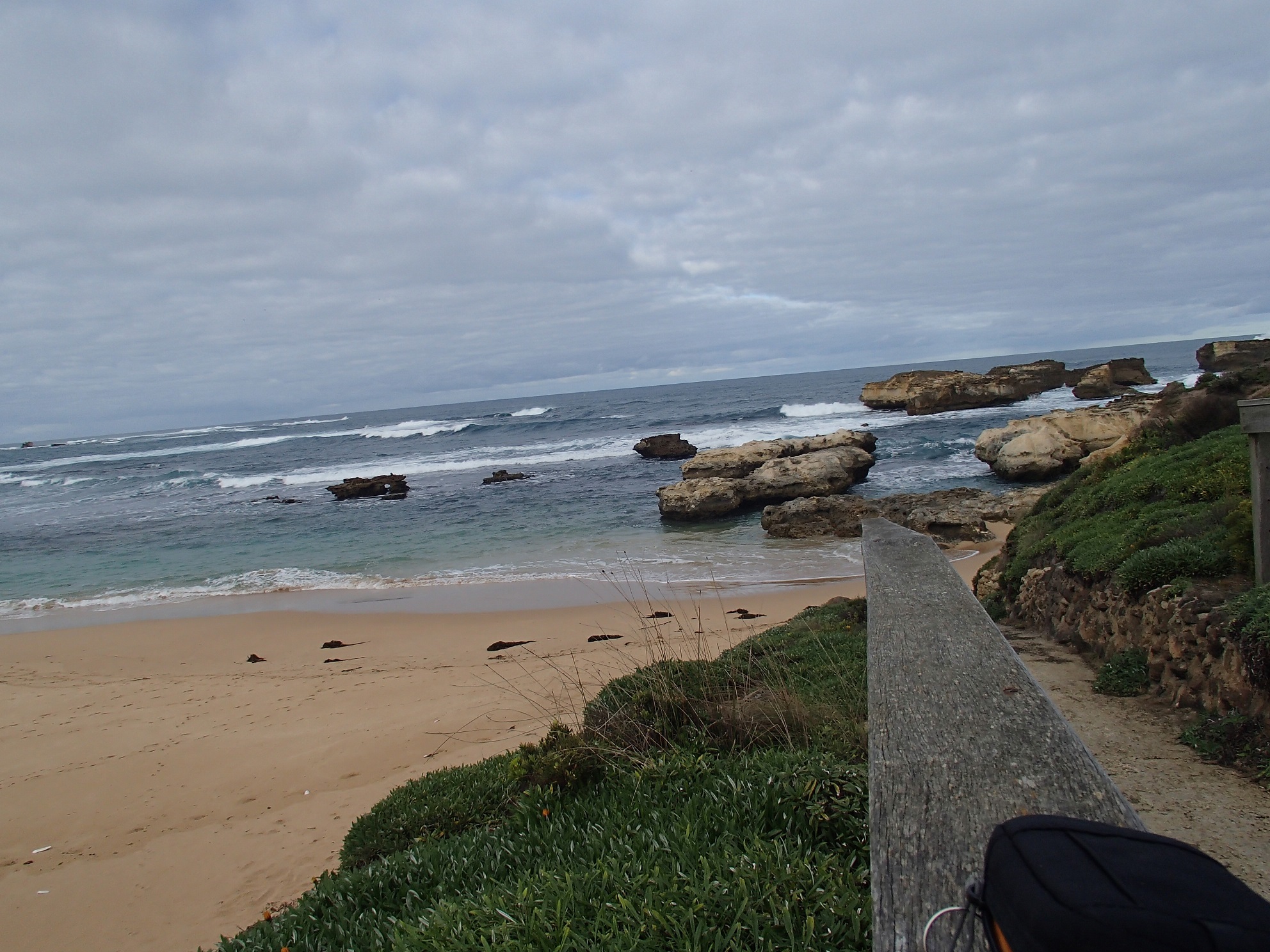
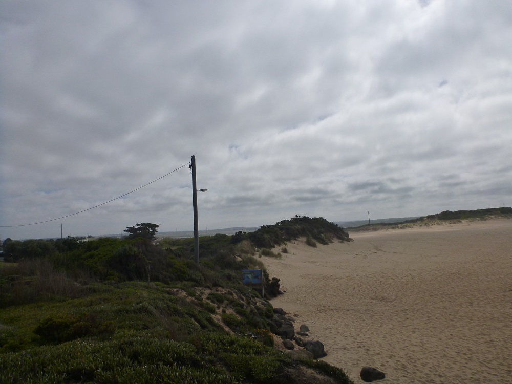
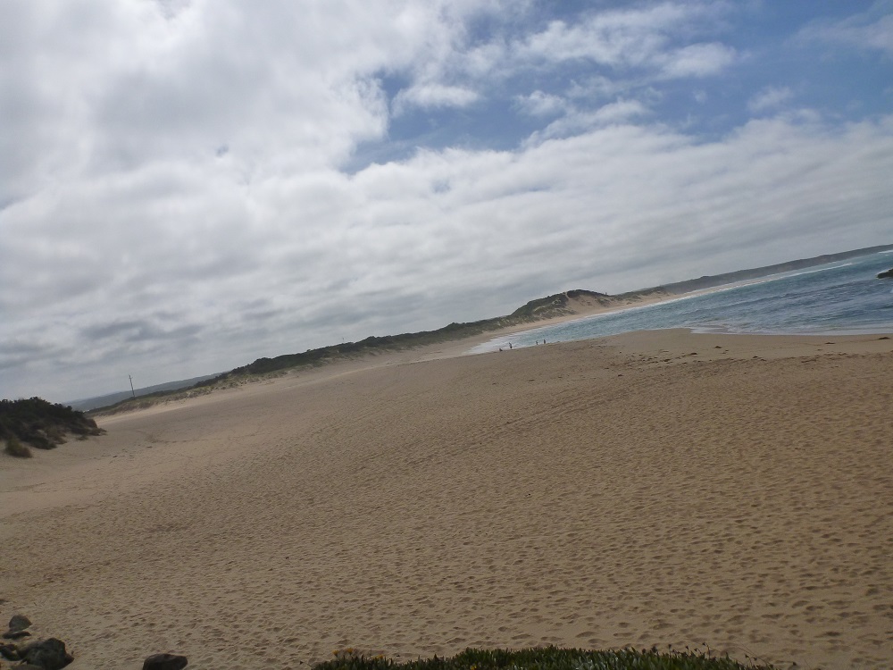
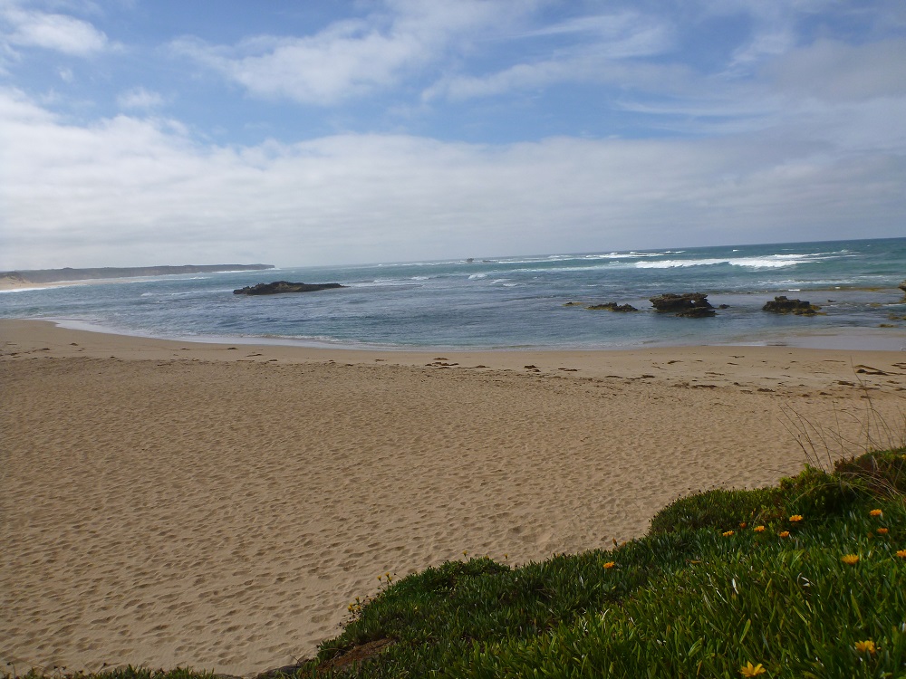
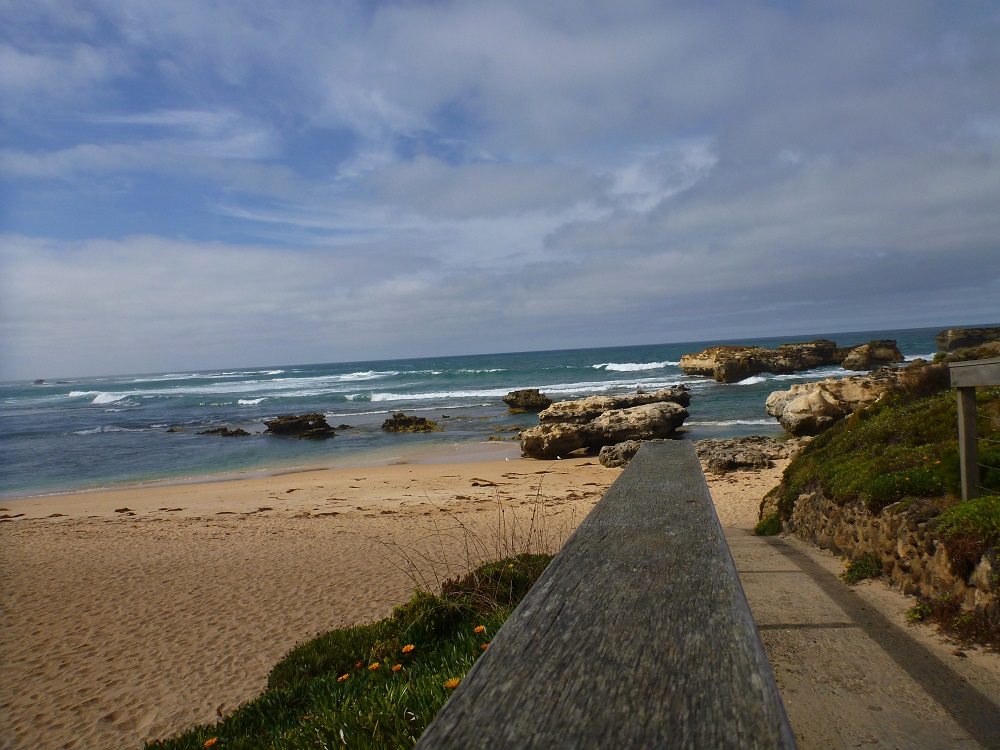
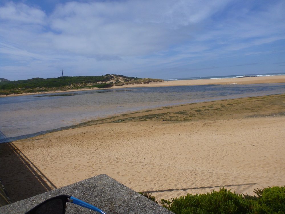
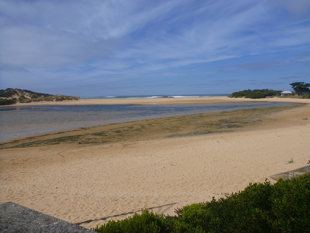
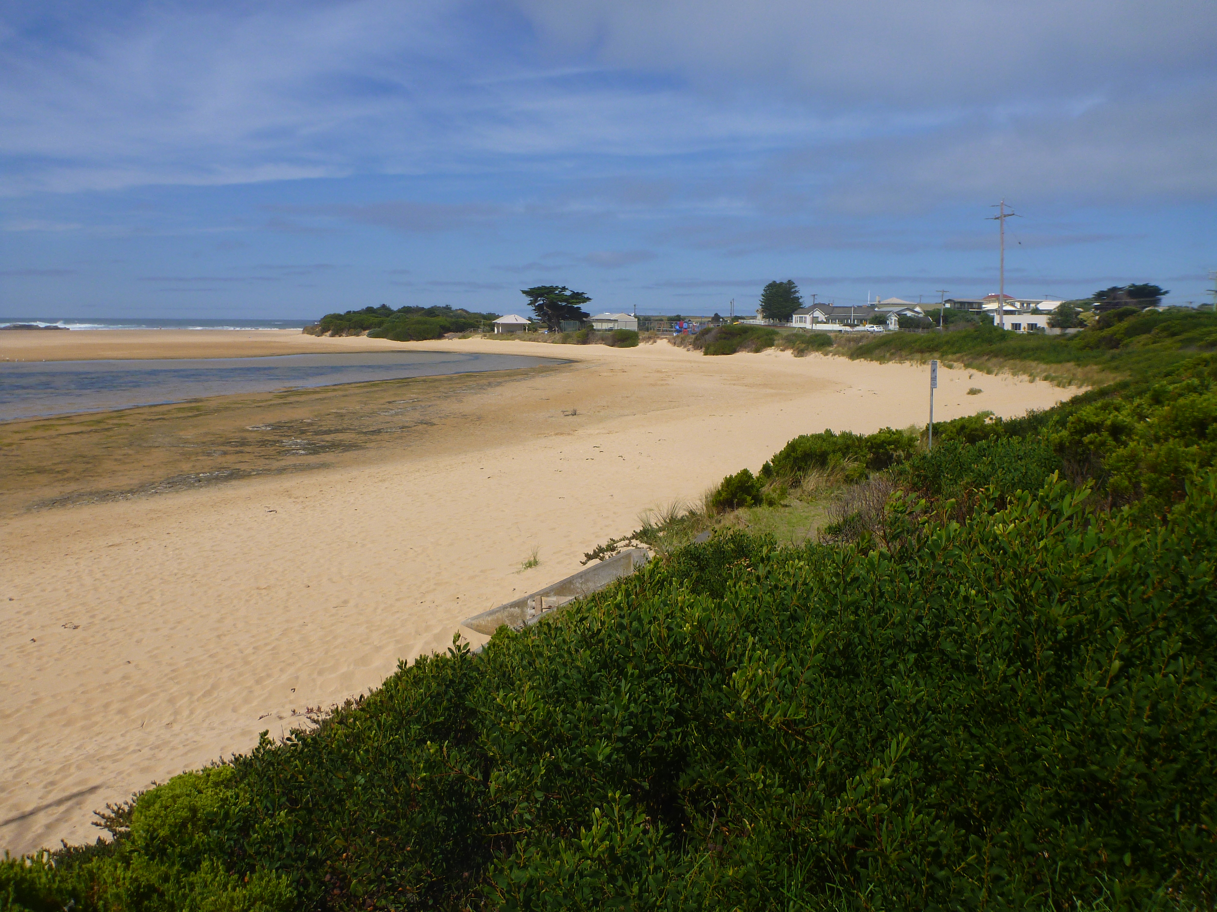
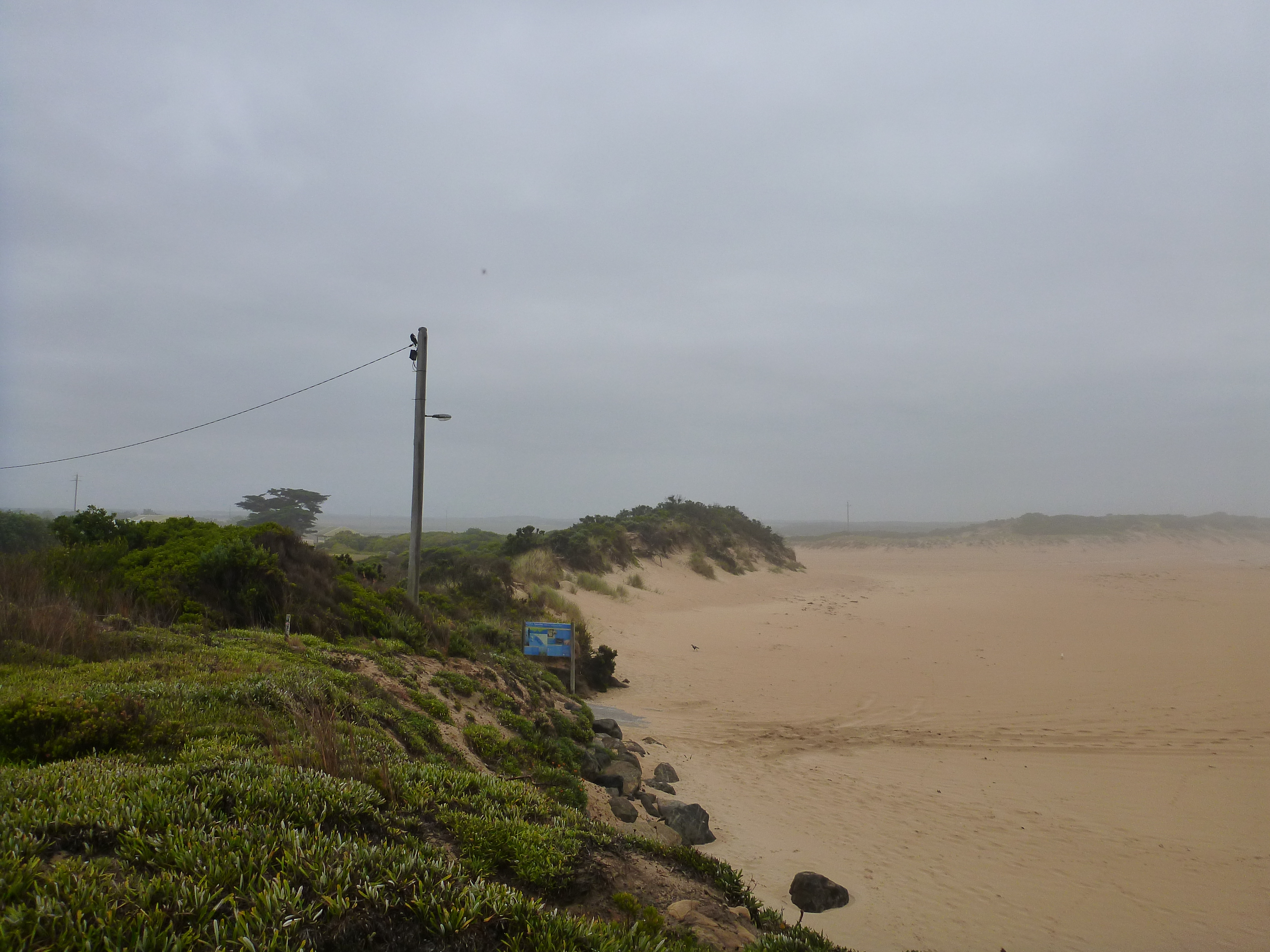
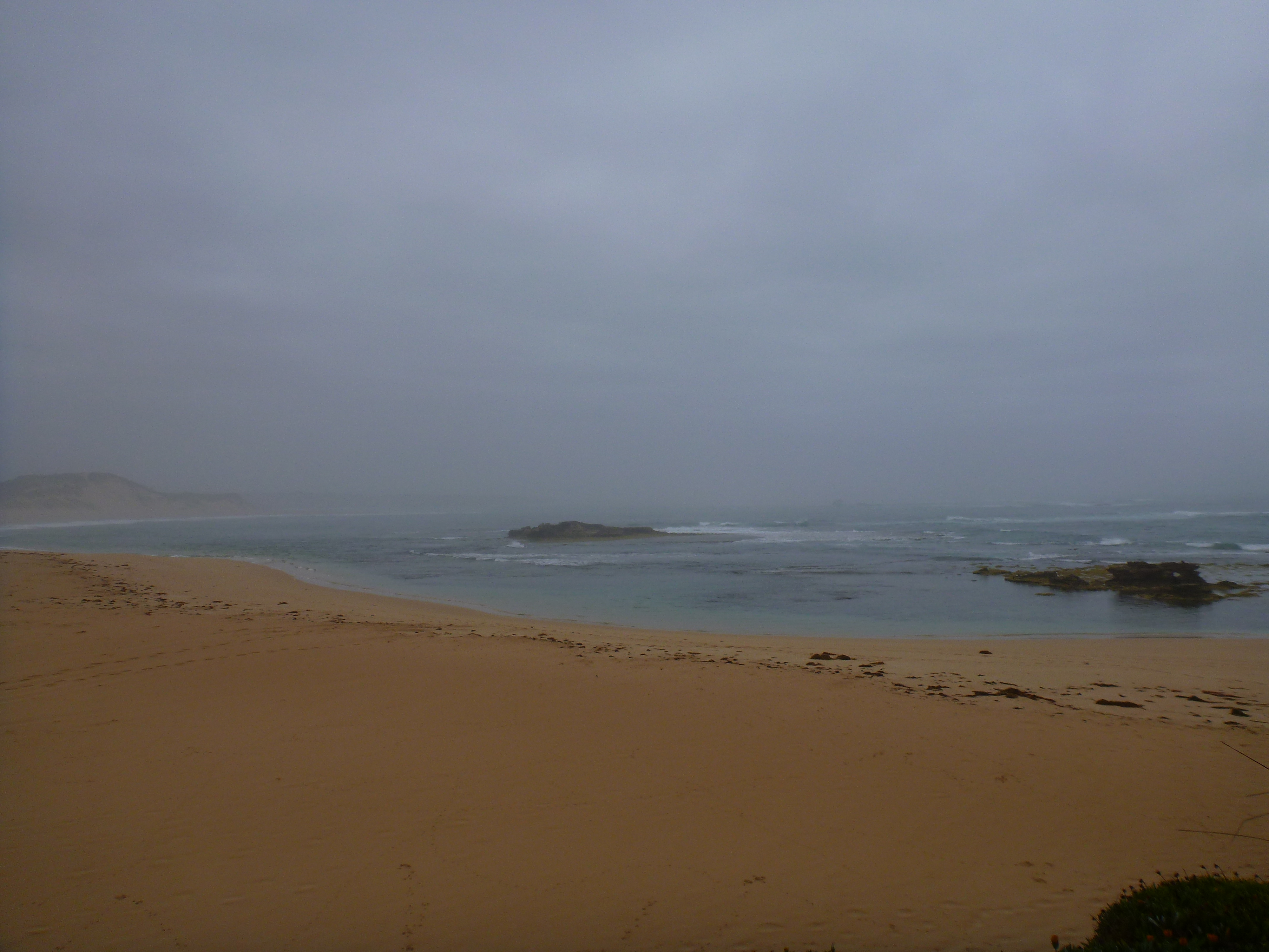
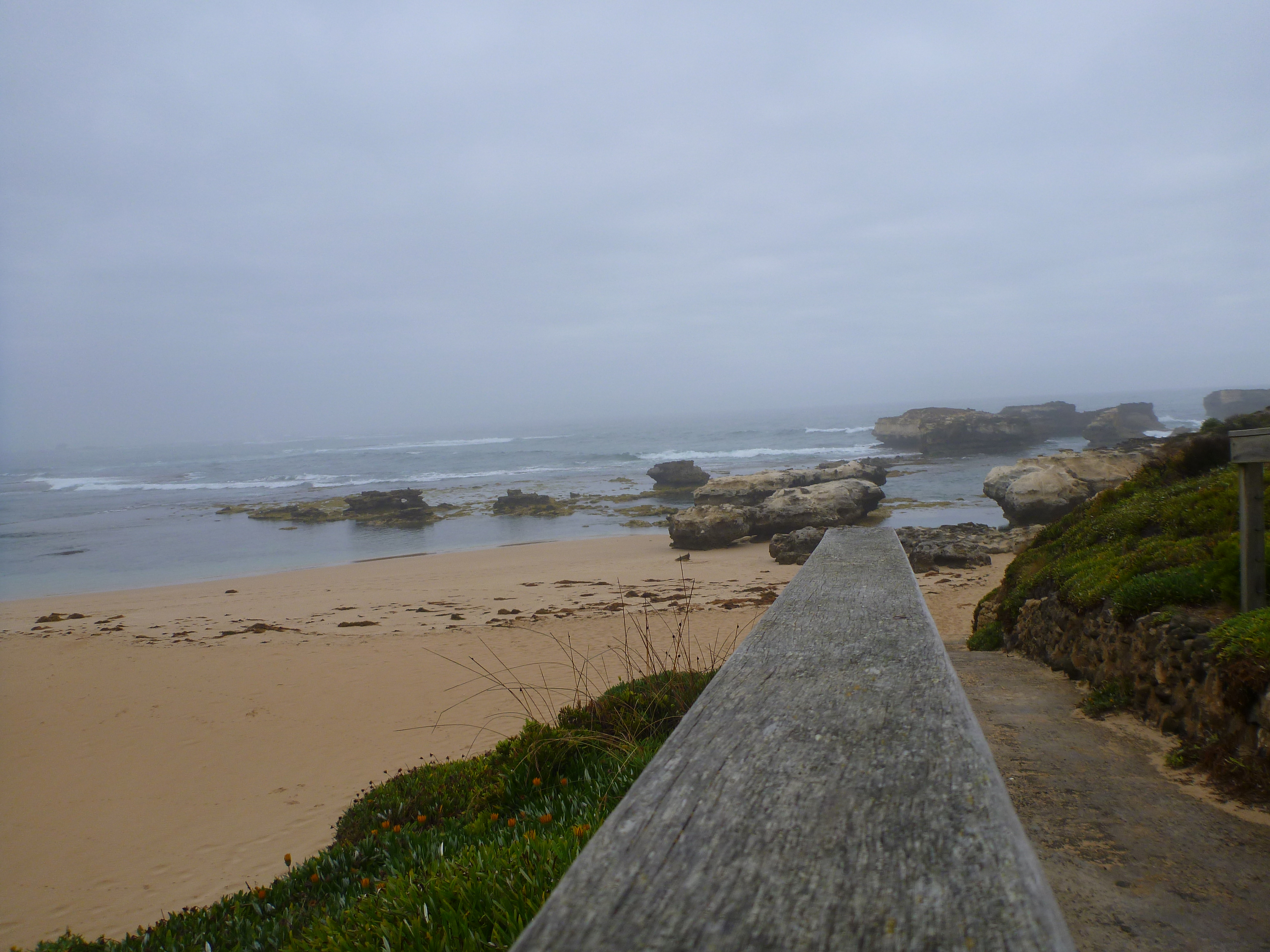
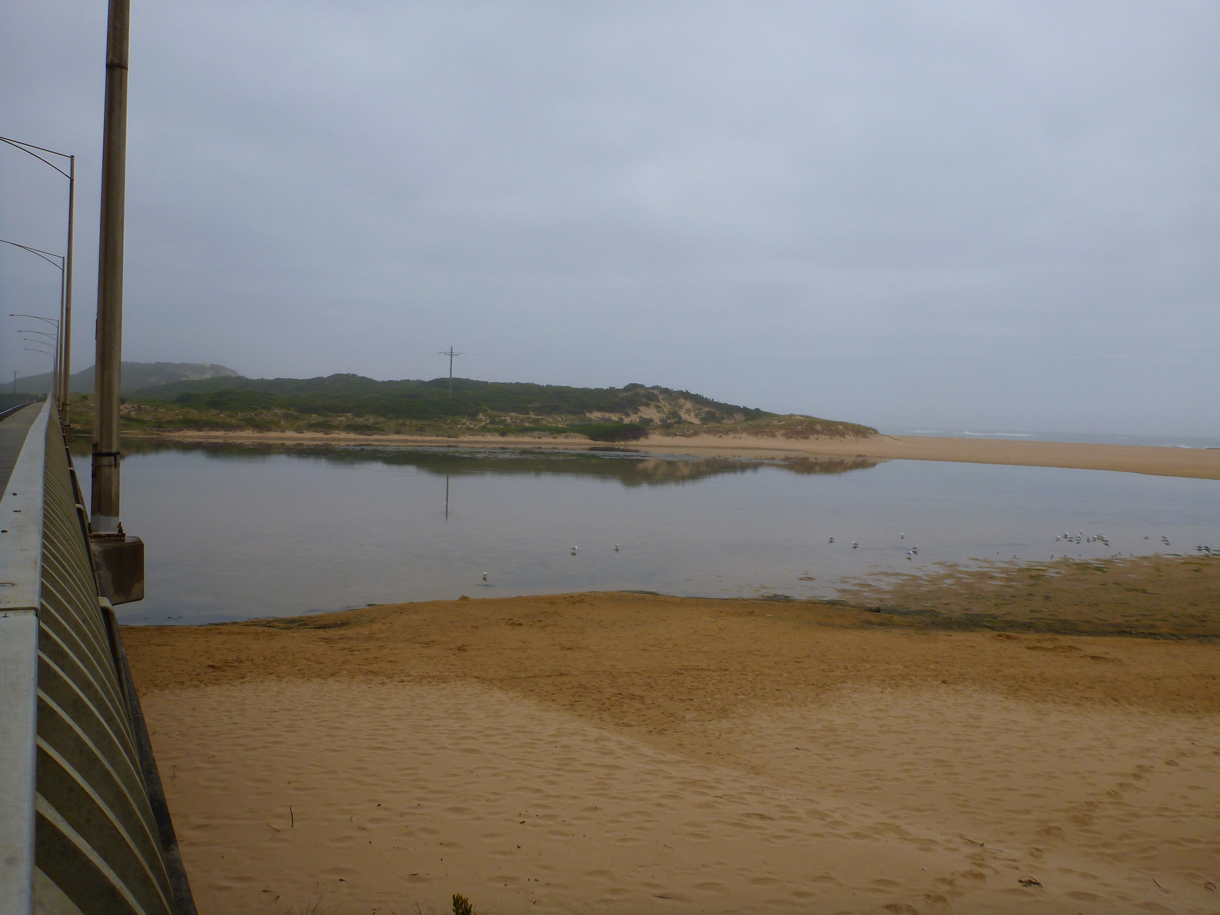
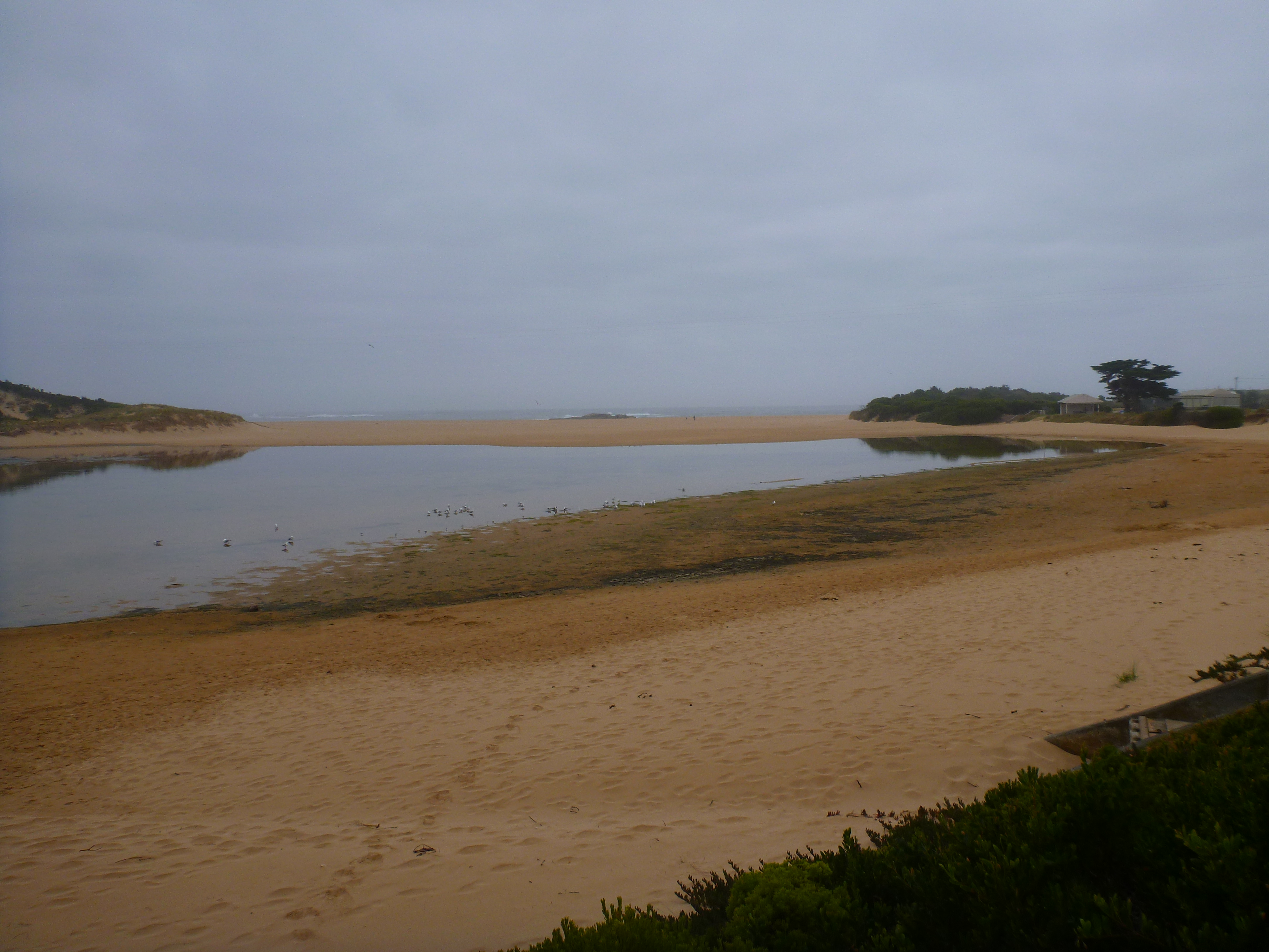
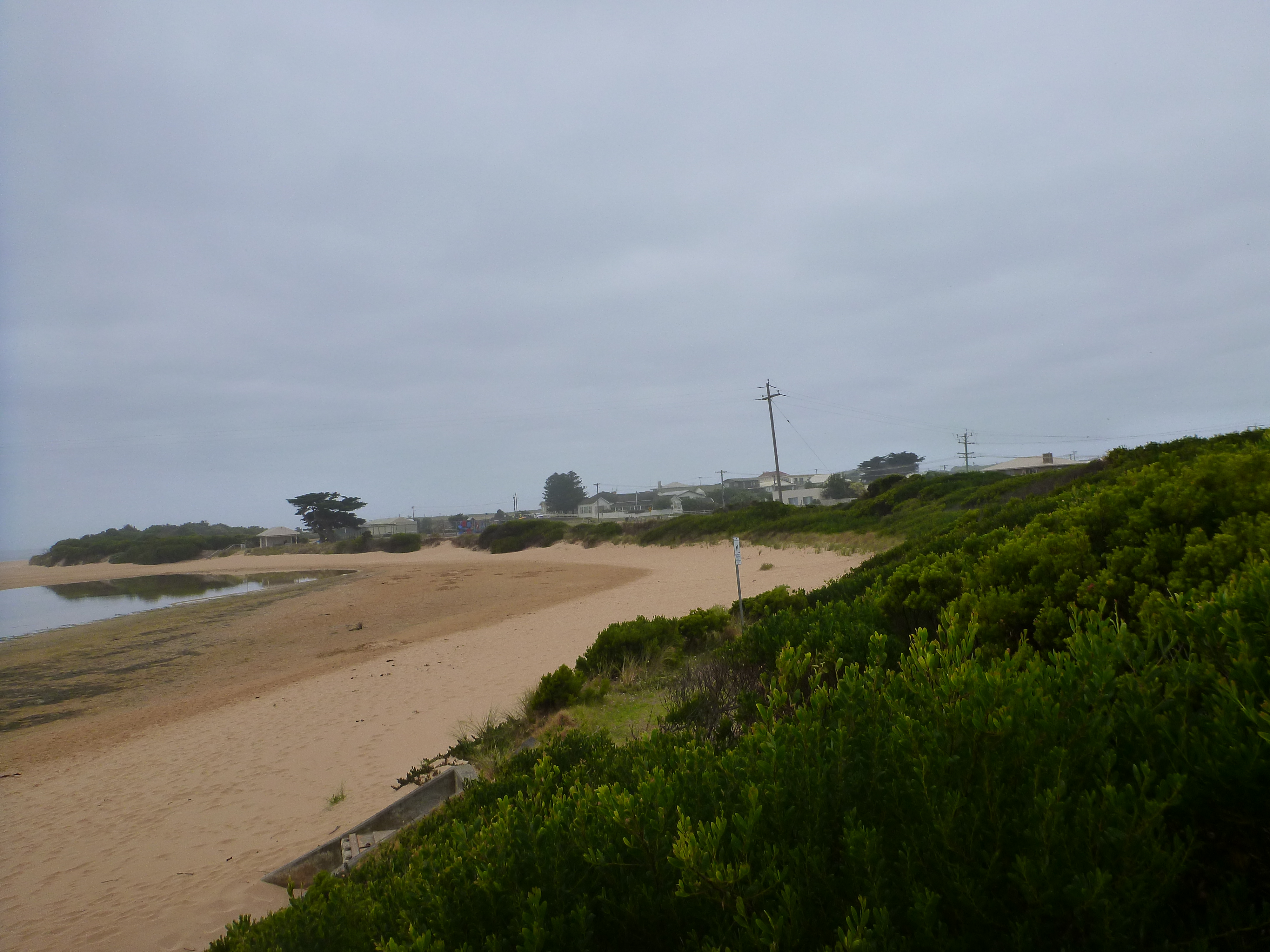
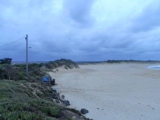
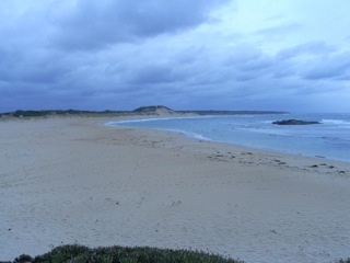
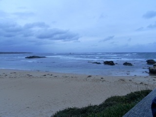
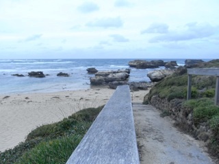
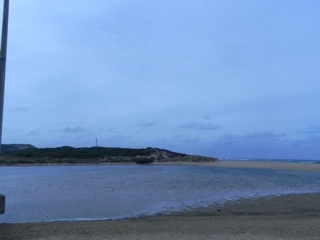
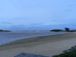
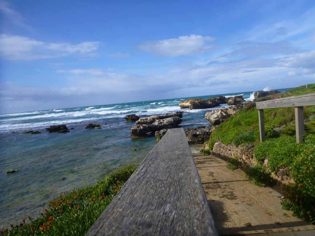
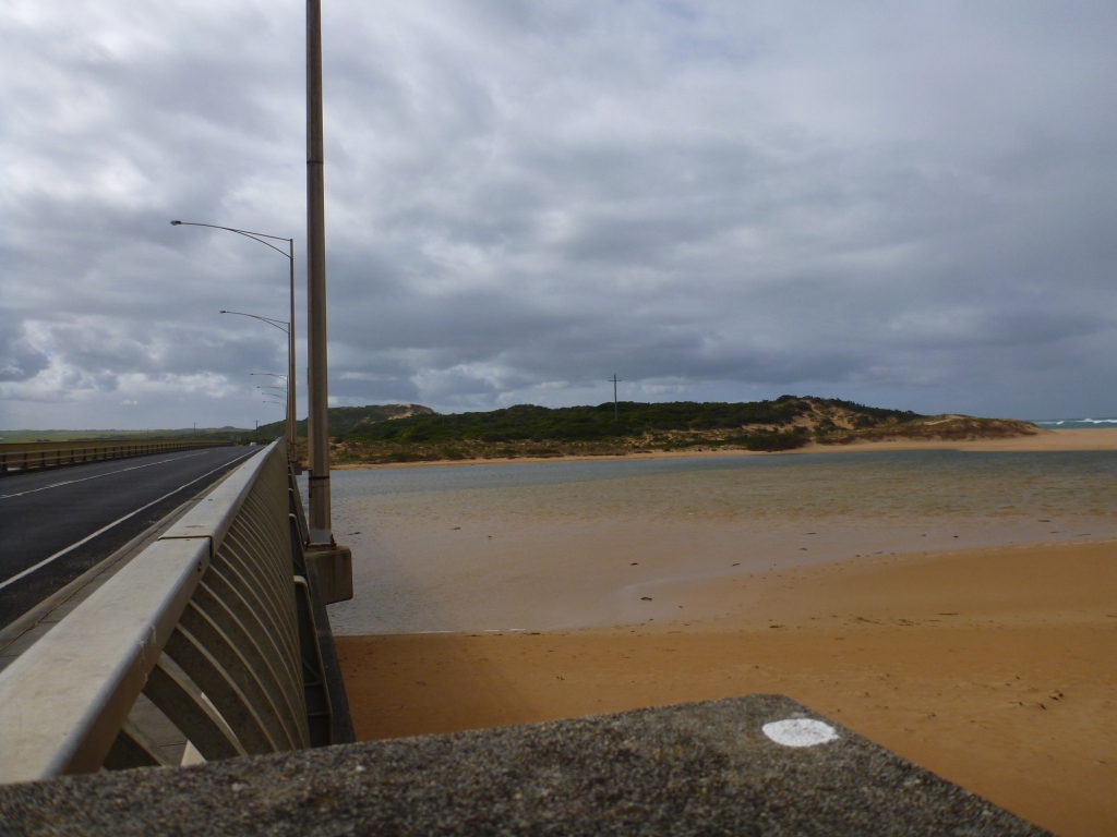
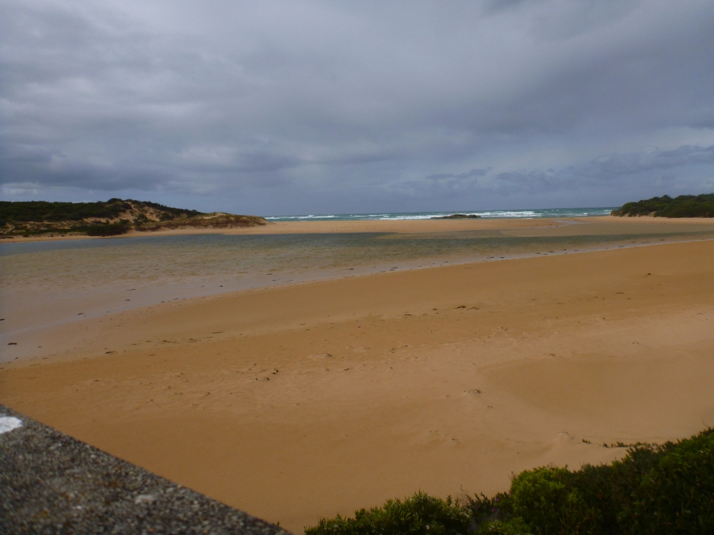
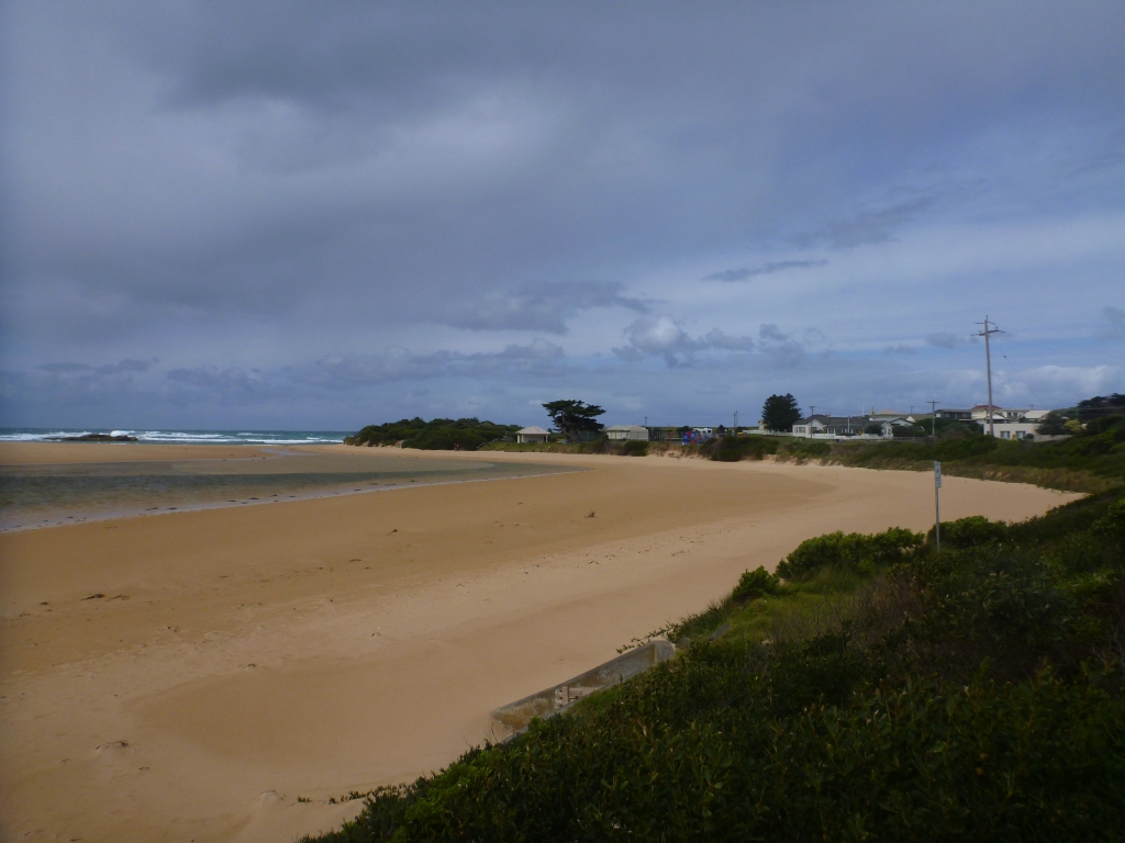
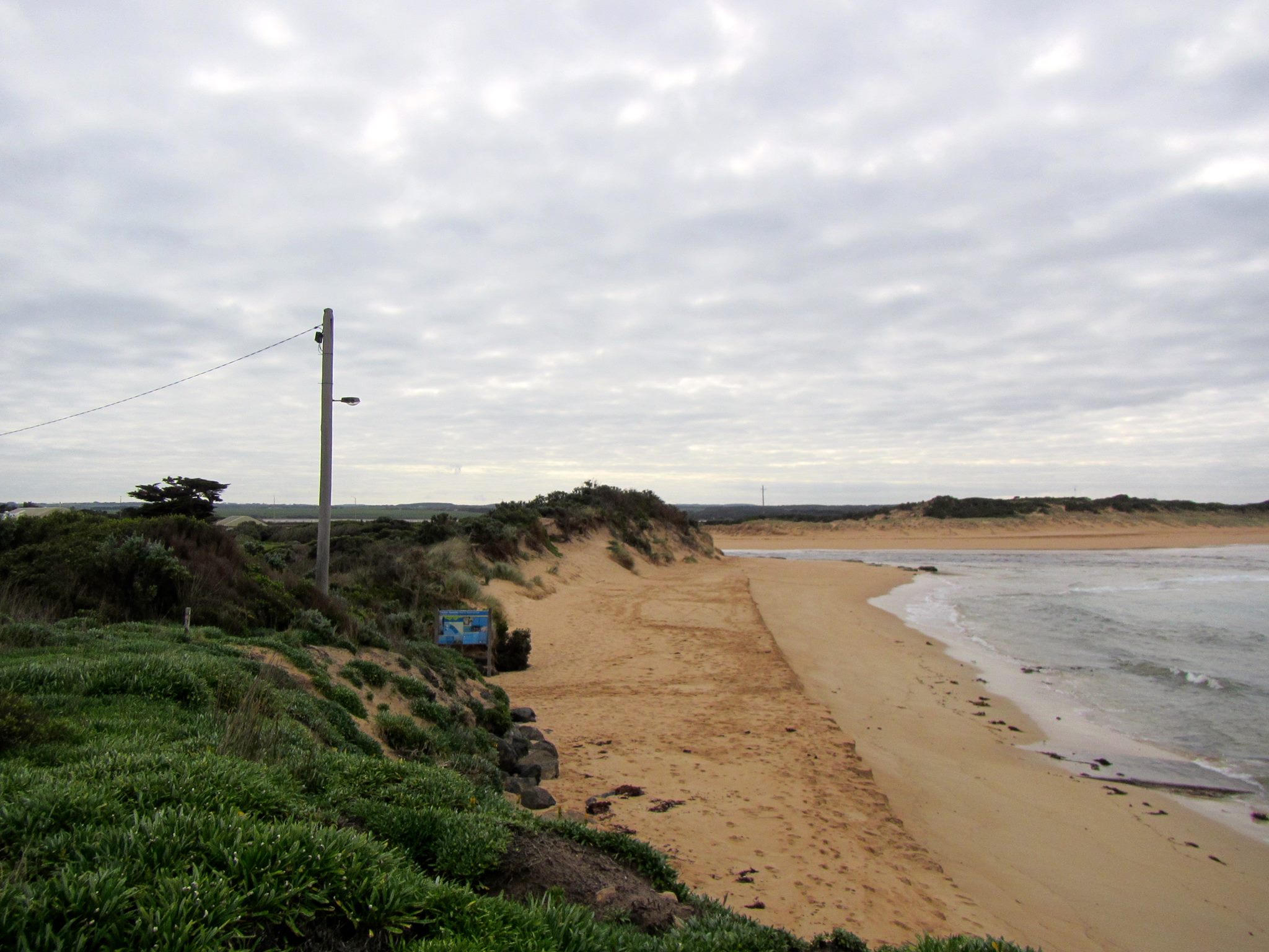
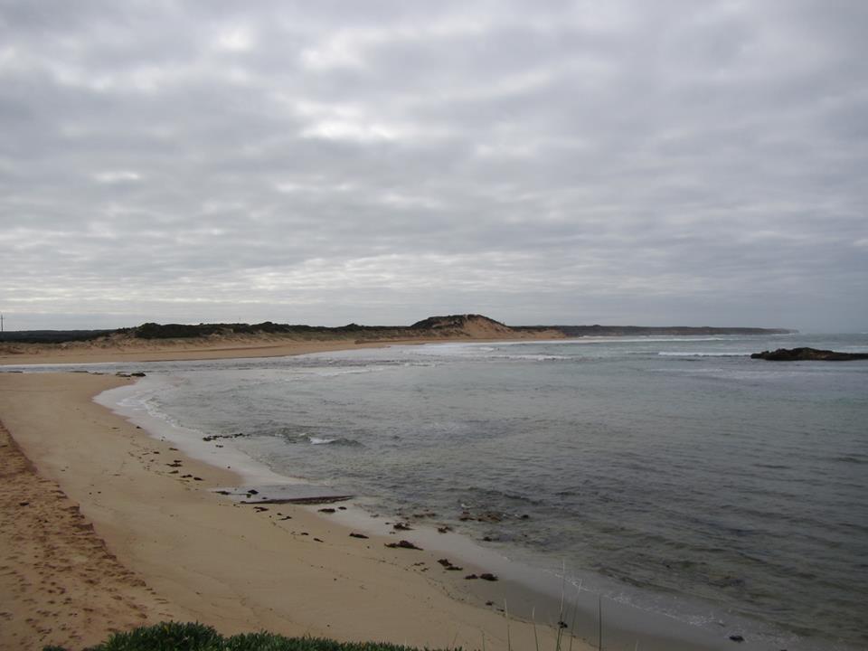
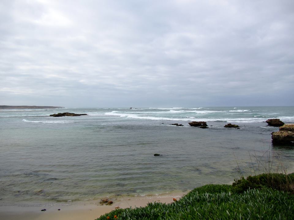
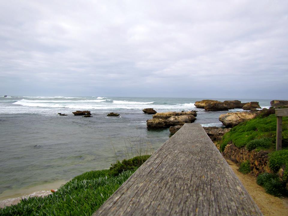
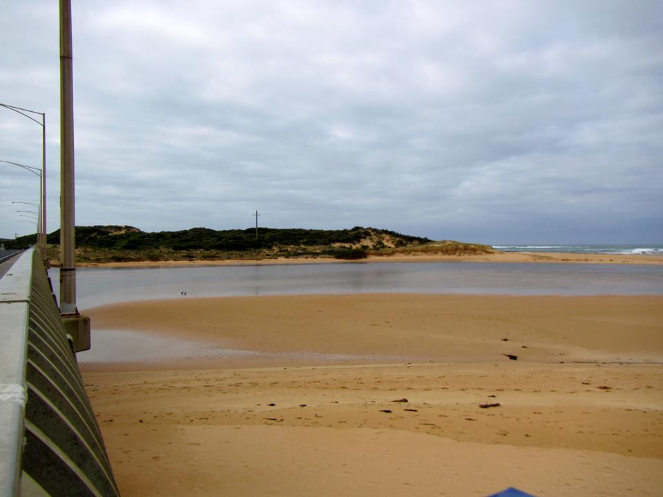
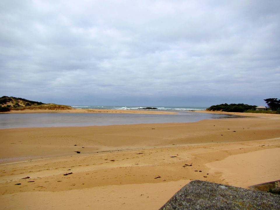
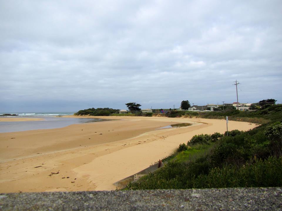
Active Mouth Condition 21-02-2014 - 07-05-2024Curdies River Estuary
| ID | Date | Status | Details | |
|---|---|---|---|---|
| #11878 | 13 Mar 2018 | Approved | ||
| #11768 | 6 Feb 2018 | Approved | ||
| #11704 | 6 Jan 2018 | Approved | ||
| #11672 | 19 Dec 2017 | Approved |
Notes:
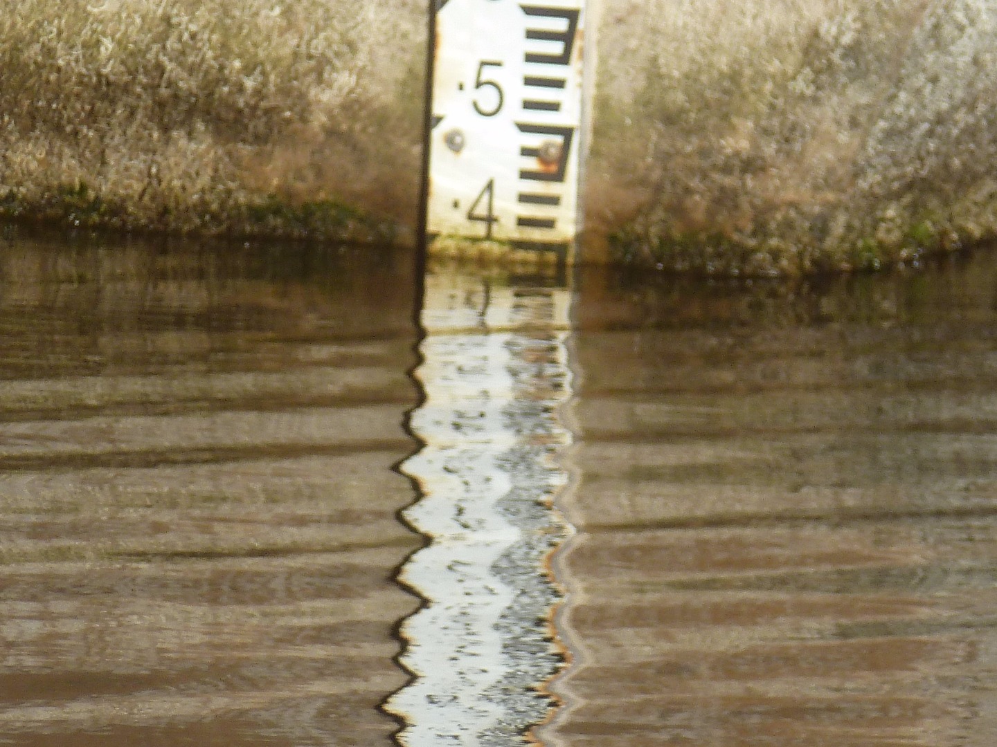
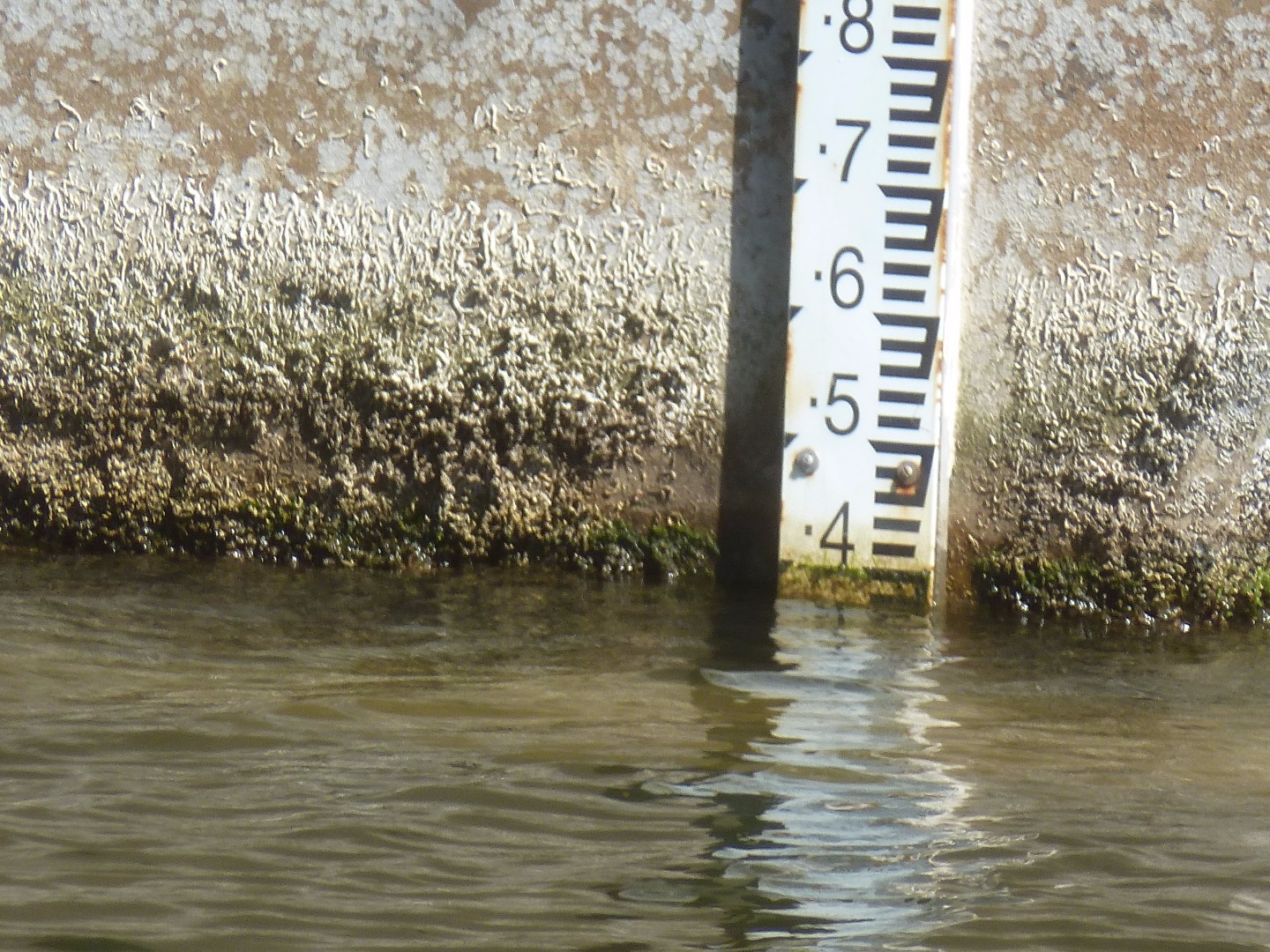
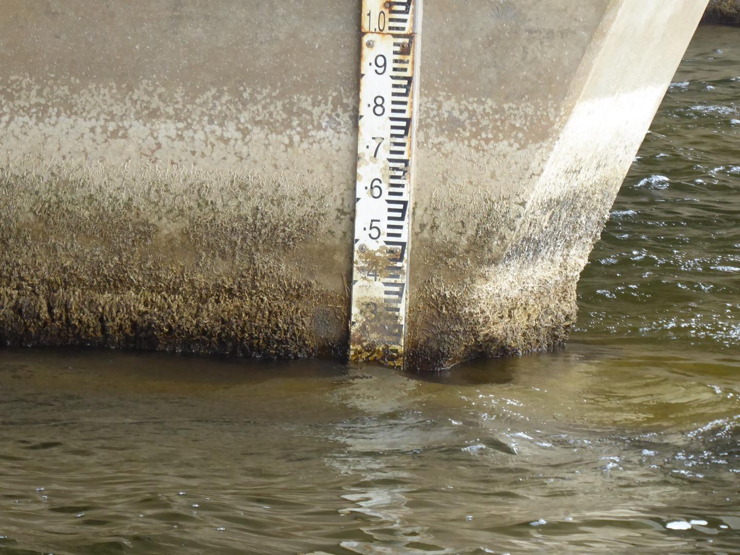
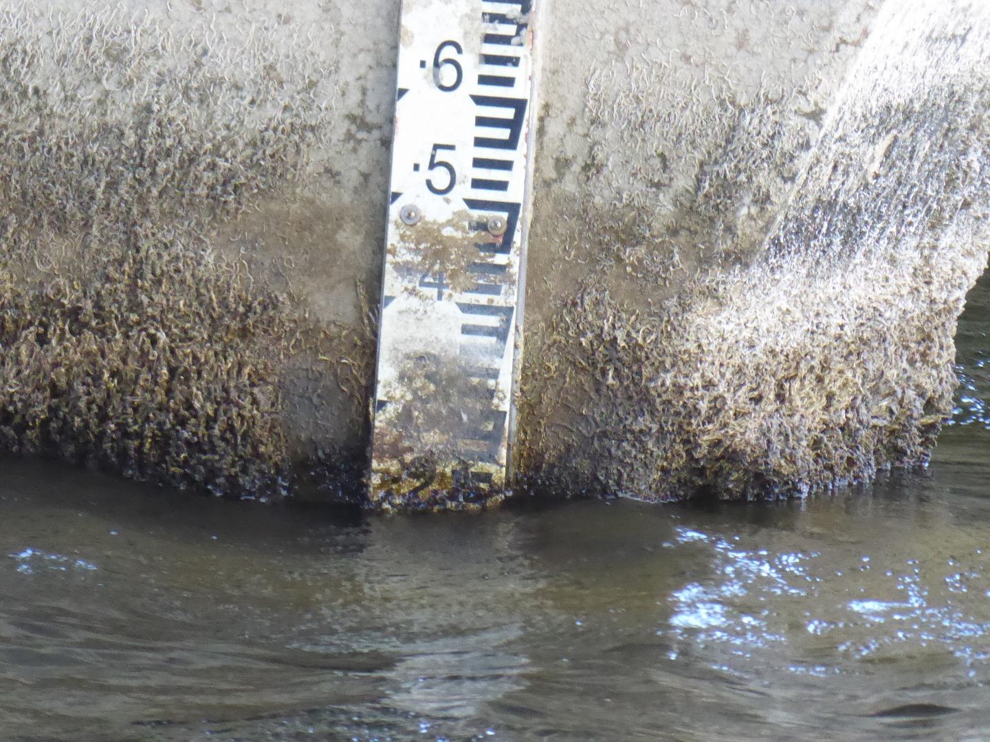
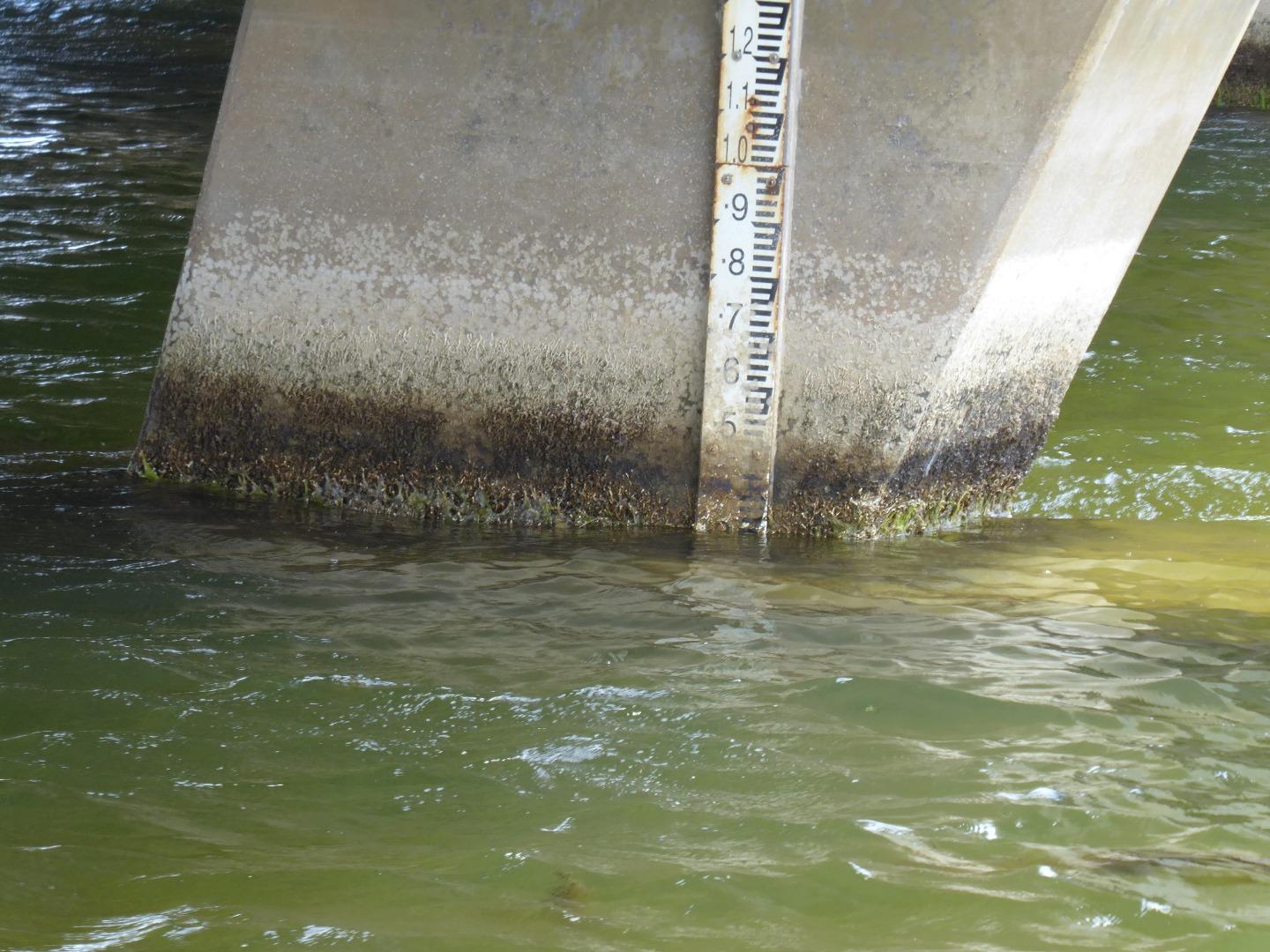
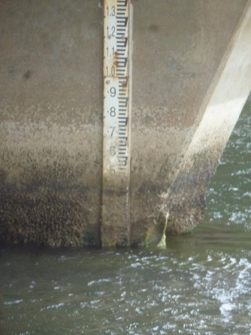
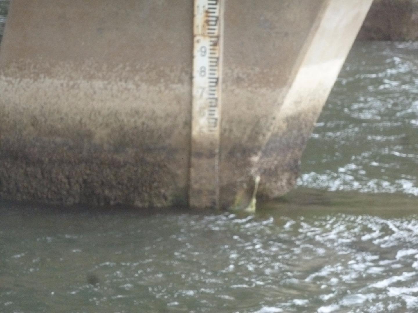
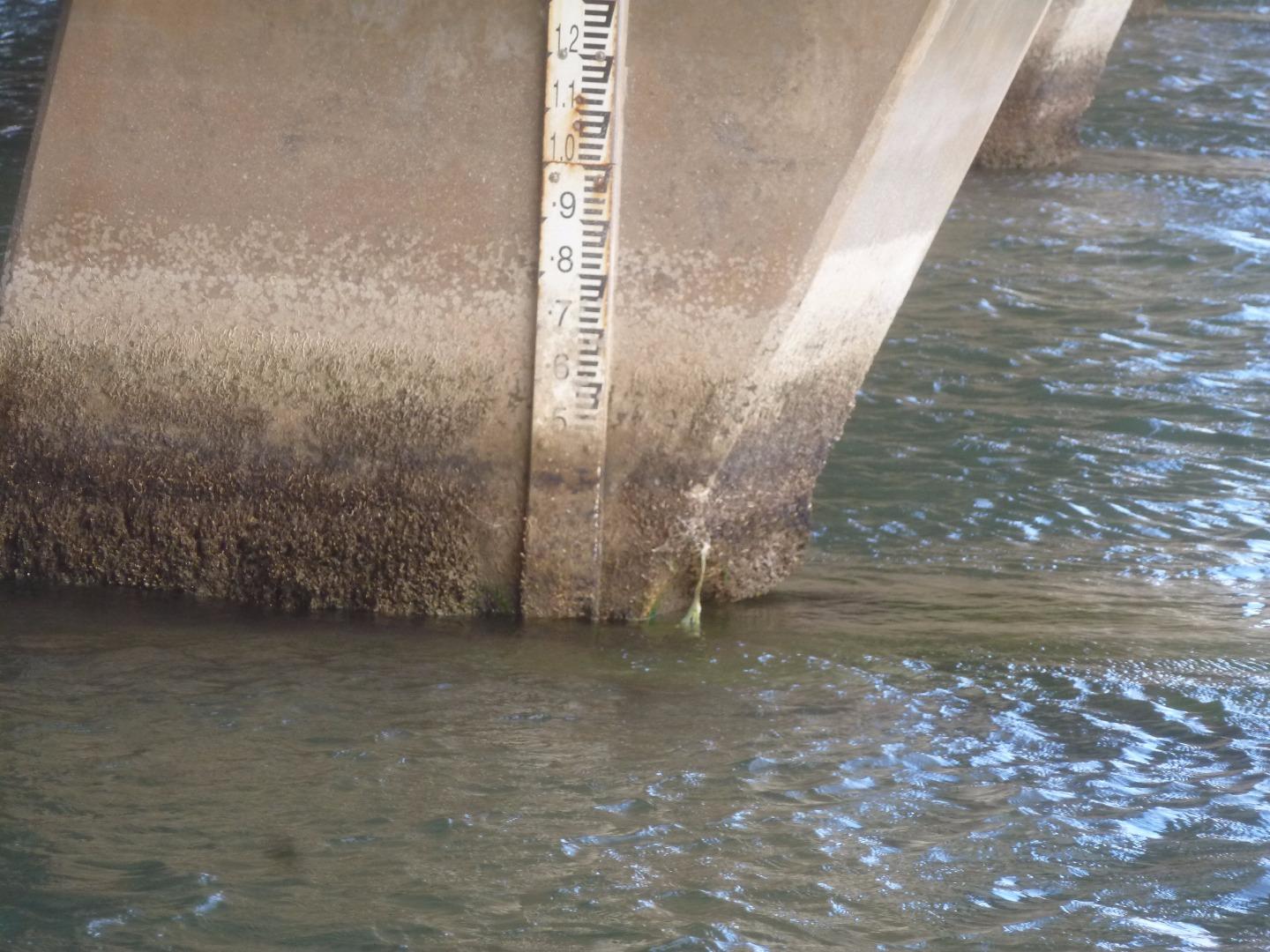
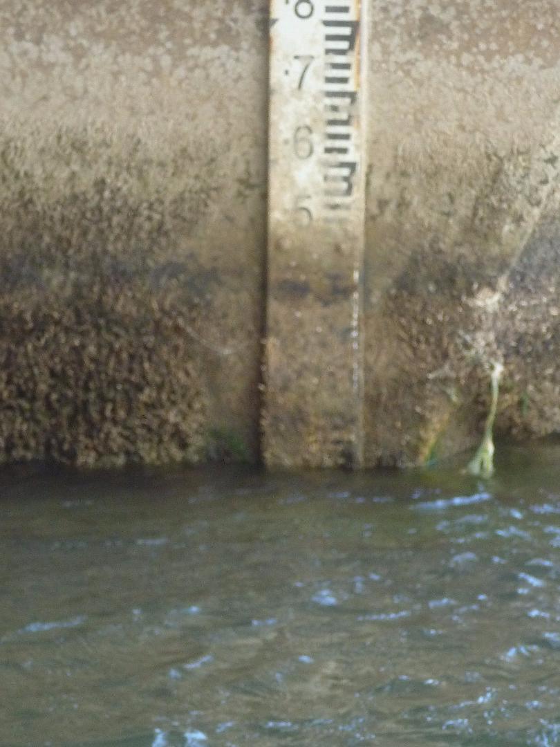
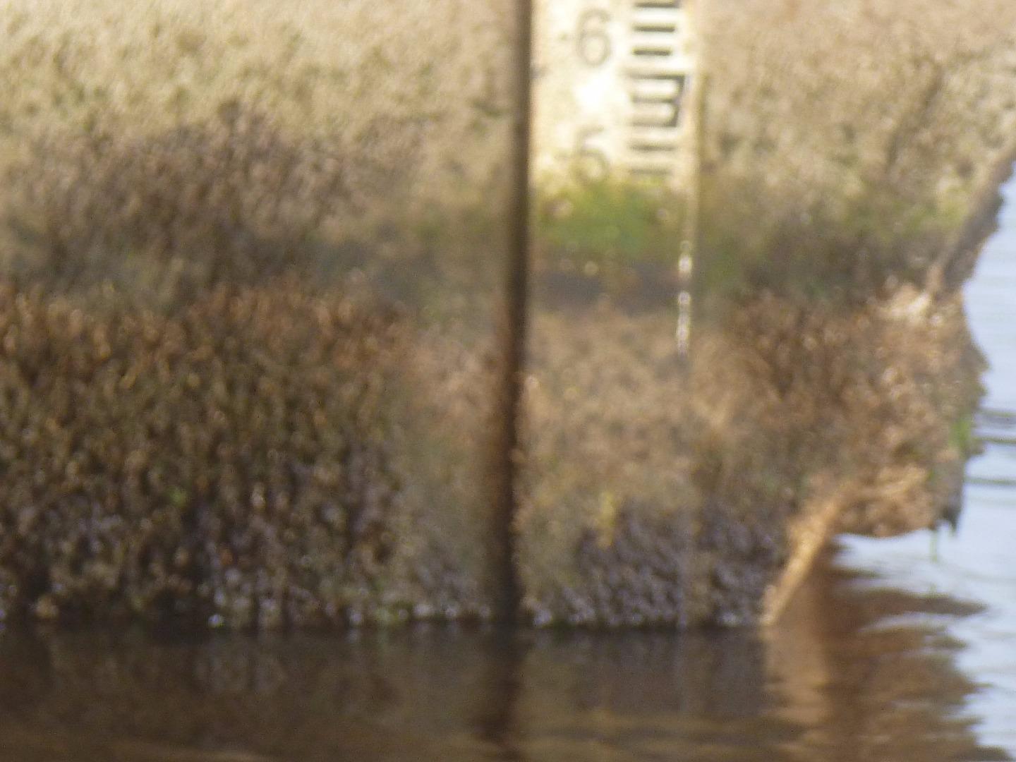
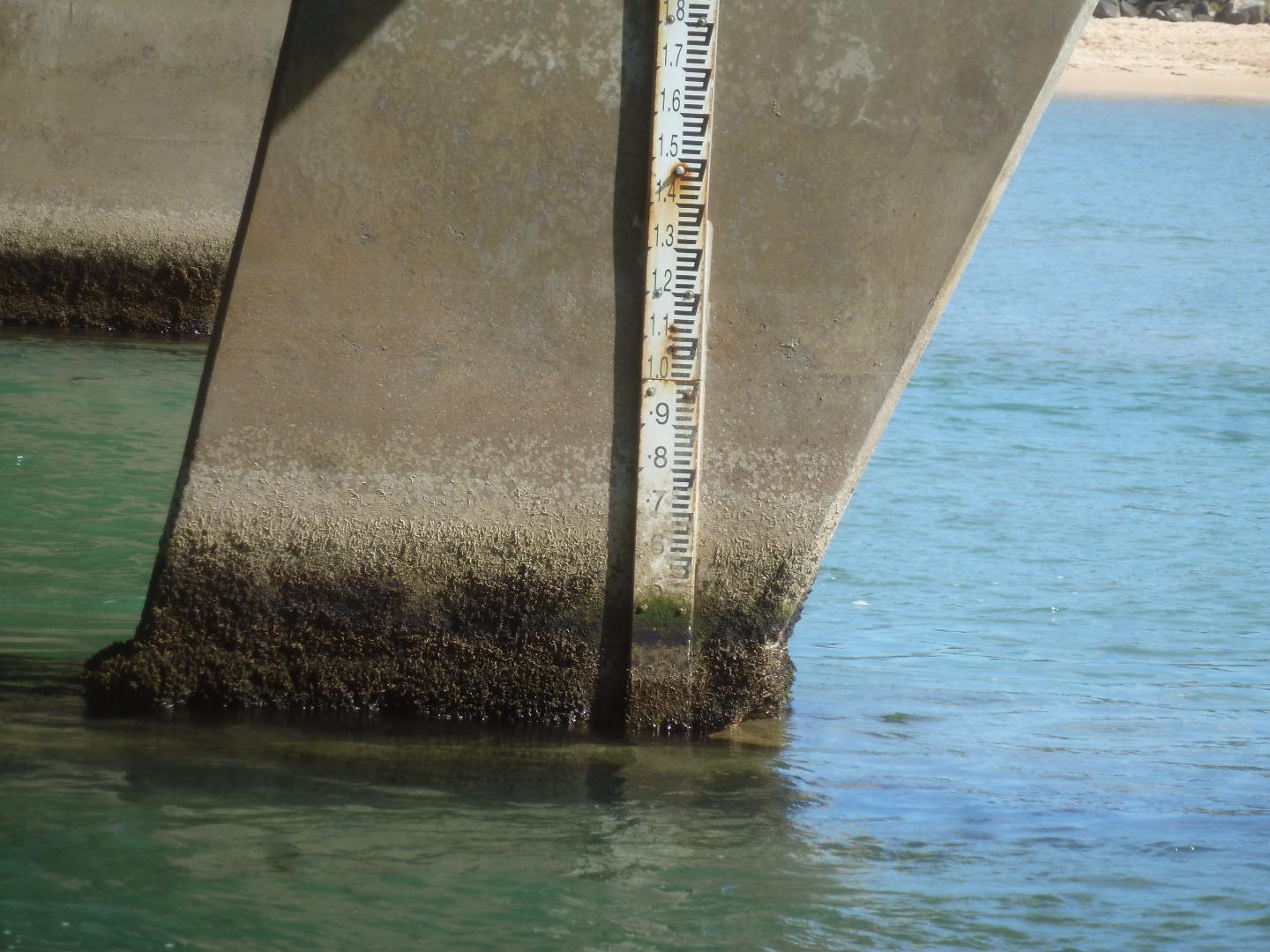
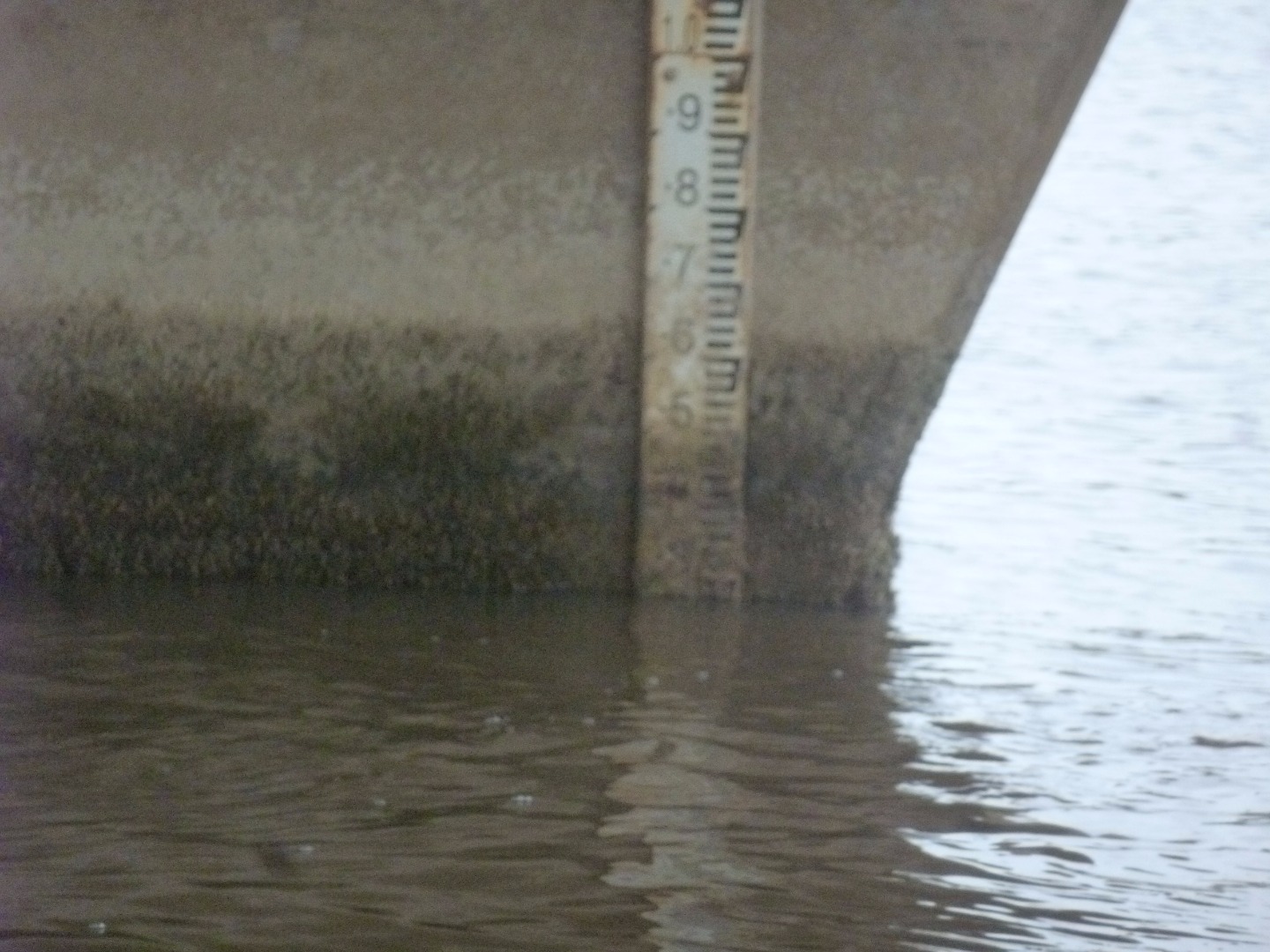
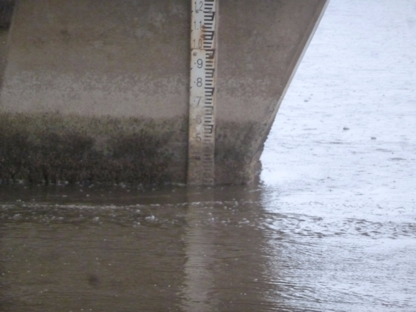
Height gauge dirty at water level. Height scaled from photo. |
|
| #11641 | 5 Dec 2017 | Approved |
Notes:
Water level was scaled from the photograph of the height gauge, as the gauge was unreadable at water level |
|
| #11579 | 7 Nov 2017 | Approved |
Notes:
Water Level readings were scaled from photos I took, because the bottom of the Height Gauge was unreadable. The photos are uploaded. |
|
| #11482 | 3 Oct 2017 | Approved |
Notes:
Height gauge readings were scaled from photos taken off the height gauge, because the lower half of the height gauge was unreadable. |
|
| #11446 | 12 Sep 2017 | Approved |
Notes:
The height gauge was very difficult to read. Photos of both readings are attached. |
|
| #11393 | 1 Aug 2017 | Approved | ||
| #11366 | 13 Jul 2017 | Approved |
Notes:
Height board very dirty and difficult to read. Artificial opening on Monday 10th July |
|
| #11251 | 6 Jun 2017 | Approved | ||
| #11215 | 28 May 2017 | Approved |
Notes:
The berm was being breached by rough seas at high tide |
|
| #11132 | 4 May 2017 | Approved |
Notes:
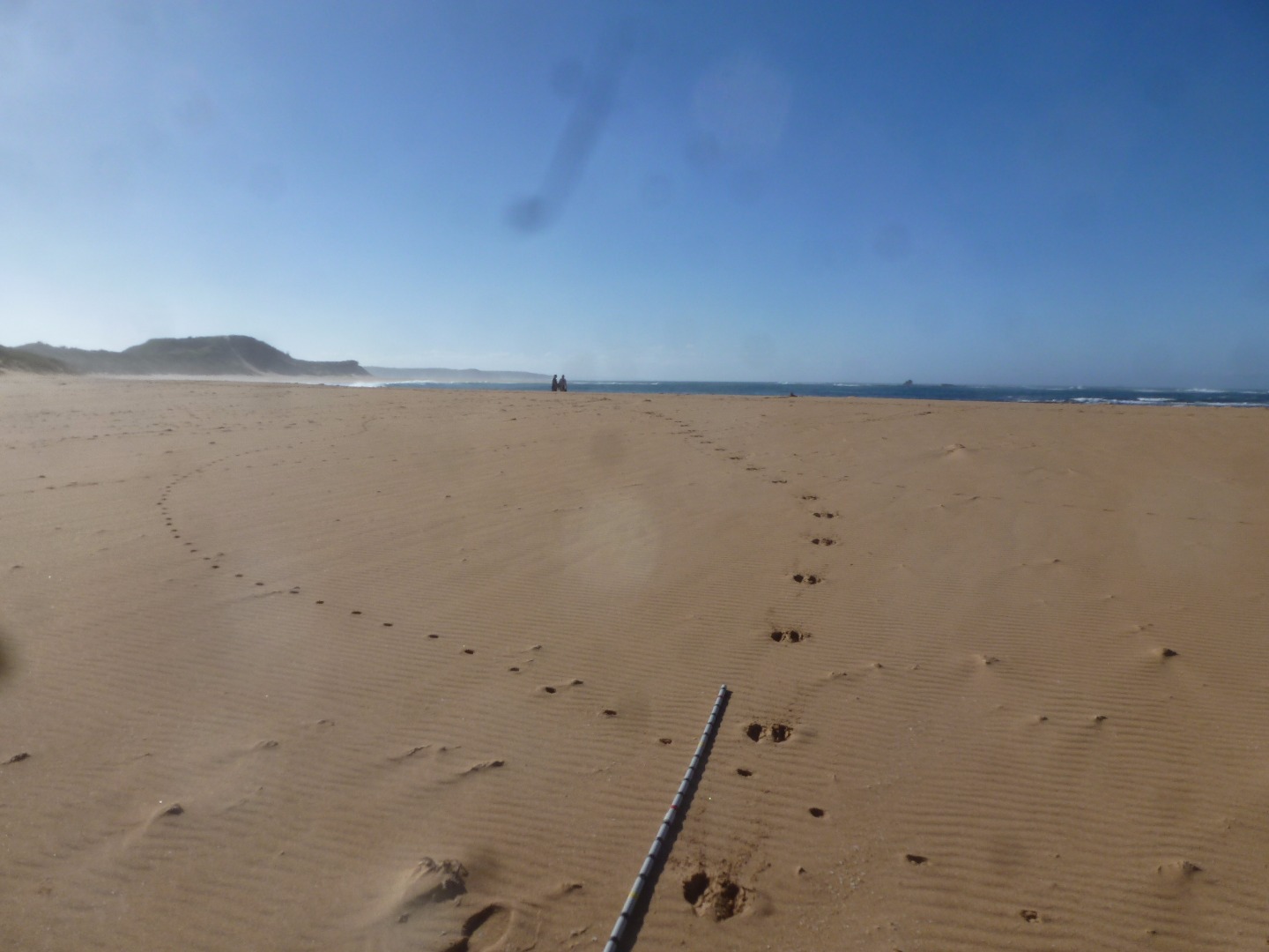
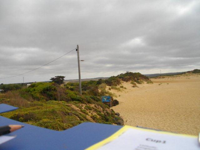
Rock fall from recent weather near Cup1 photopoint - see event photos. Over the last week, weather has varied greatly in wind strength and direction, and sea state varying between calm and high sea. Could not measure the Estuary height as the pole wasn't long enough to see above berm |
|
| #11053 | 4 Apr 2017 | Approved |
Notes:
The sea washed into the river on several days in the last week. |
|
| #10896 | 7 Mar 2017 | Approved |
            |
|
| #11018 | 7 Mar 2017 | Approved |
Notes:
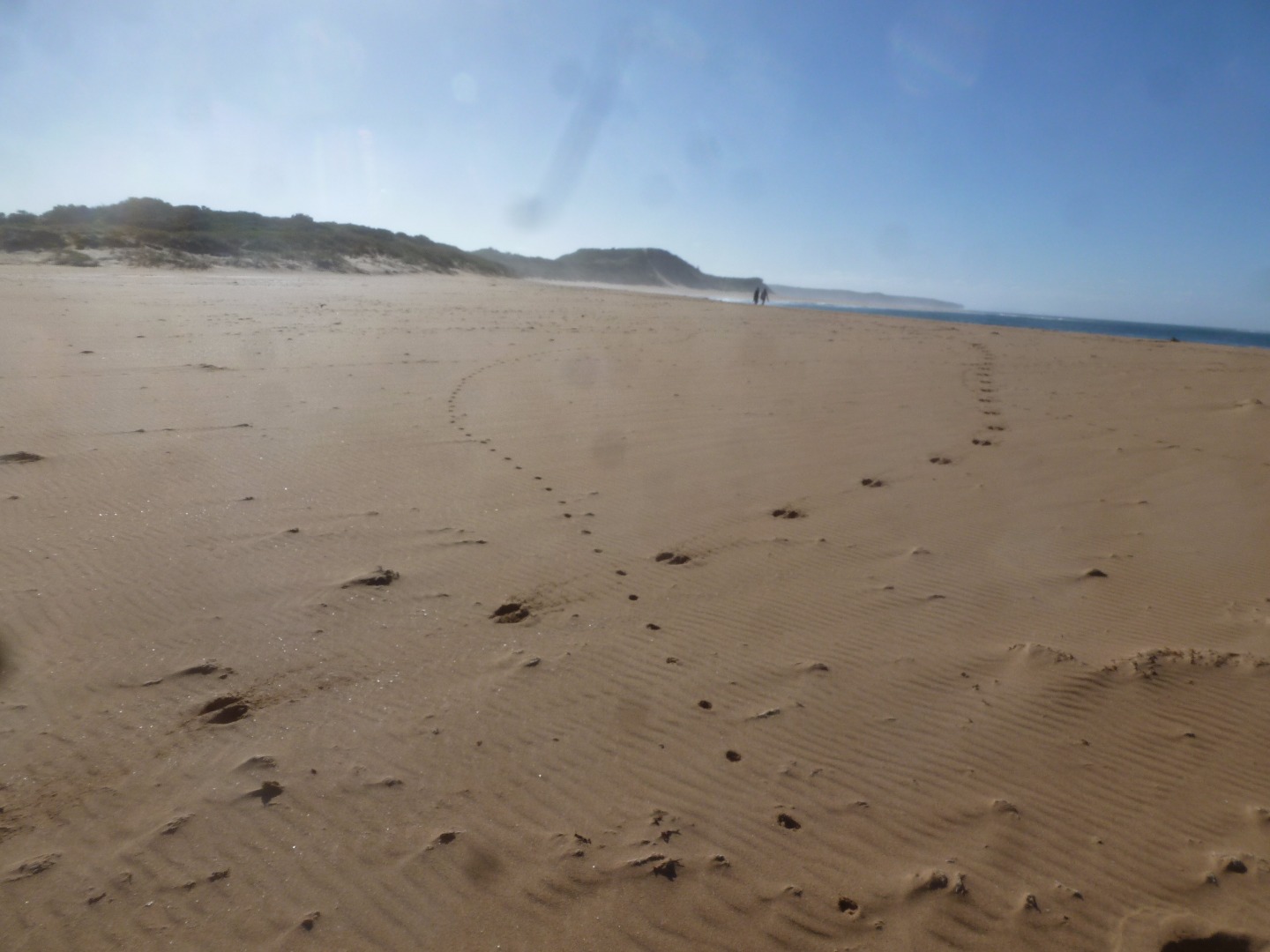
Wallaby and fox tracks on berm |
|
| #10790 | 7 Feb 2017 | Approved |
Notes:
Over the last two weeks, winds have been from various directions, strengths from 0 to 5, and seas from smooth to moderate. |
|
| #10745 | 21 Jan 2017 | Approved | ||
| #10724 | 17 Jan 2017 | Approved |
        |
|
| #10686 | 10 Jan 2017 | Approved |
Notes:
I lost one of the photos of the Cup1 photopoint site whilst trying to download it, so I took photos of Cup1 the next day, and used them instead. |
|
| #10652 | 12 Dec 2016 | Approved | ||
| #10721 | 13 Oct 2016 | Approved | ||
| #10494 | 14 Sep 2016 | Approved |
Notes:
Mode physical condition for wind direction W, N, E |
|
| #10720 | 4 Aug 2016 | Approved | ||
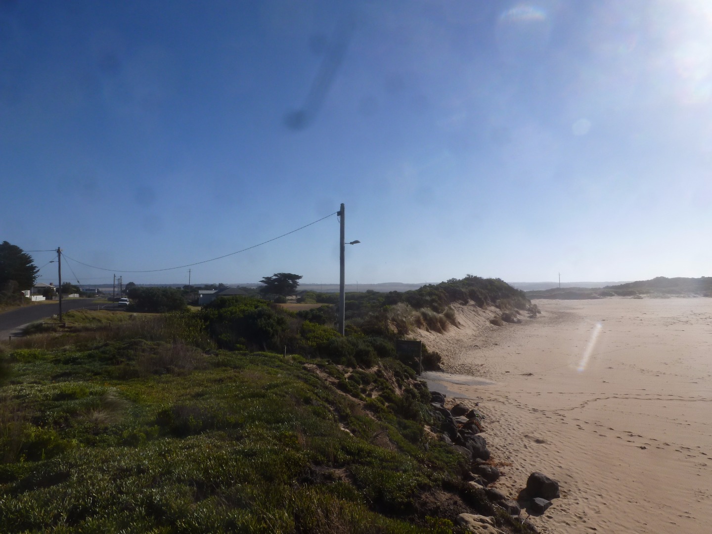
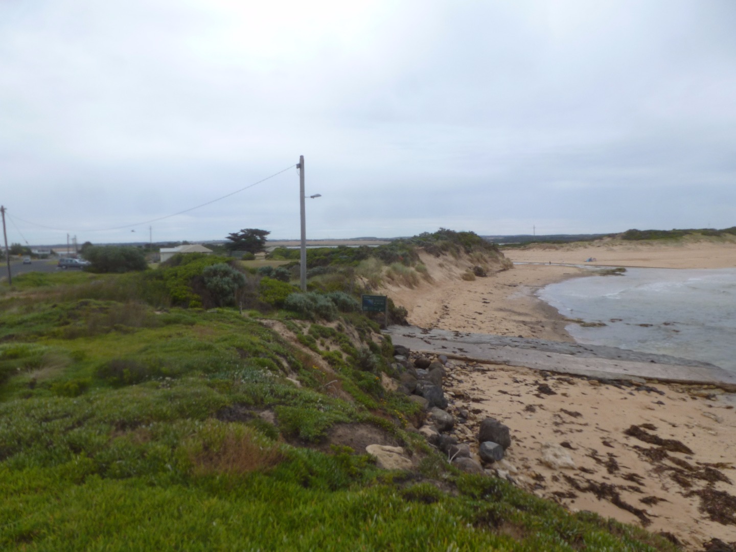
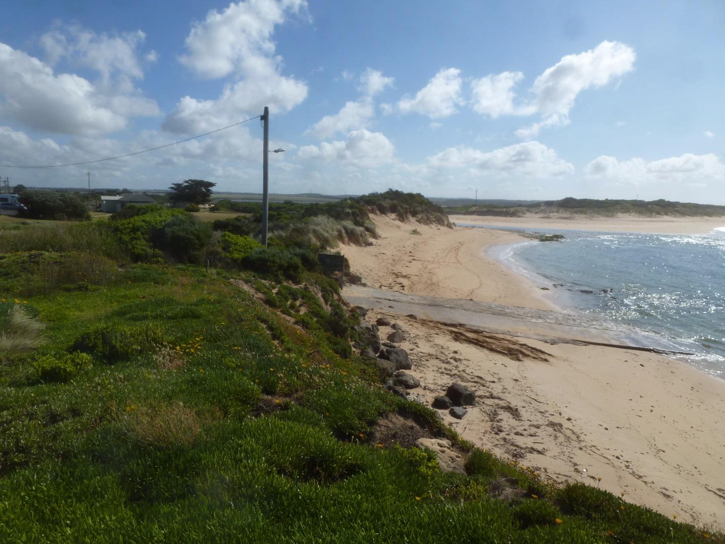
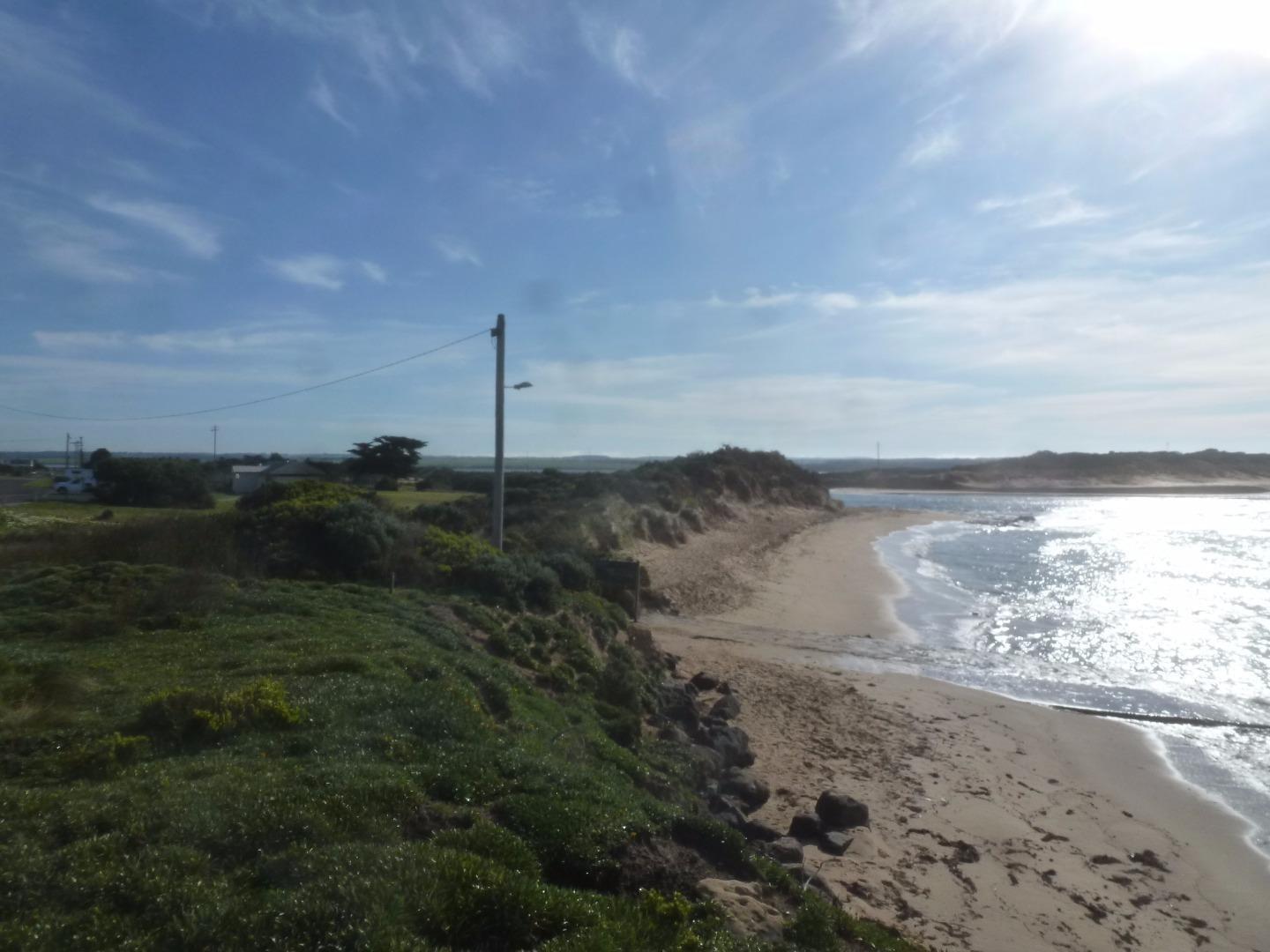
| #10398 | 14 Jun 2016 | Approved | Notes: Berm length 69.9m. | |
| #10391 | 12 May 2016 | Approved | Notes: Berm length 158m. | |
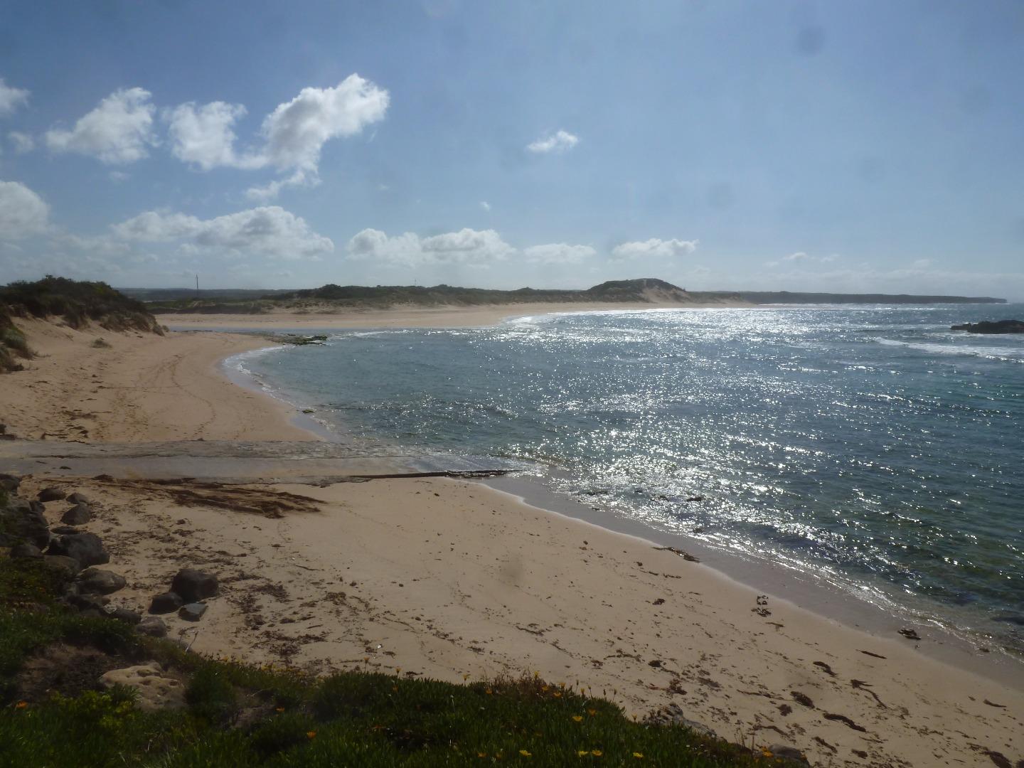
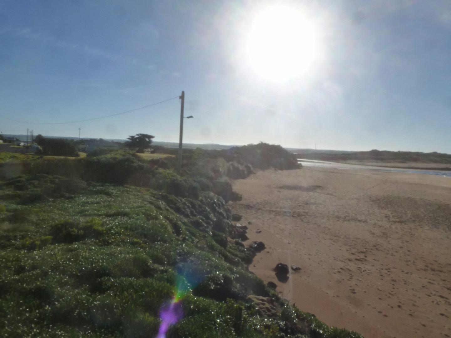
| #10285 | 14 Apr 2016 | Approved | Notes: Berm length 209.6m. Berm height too high to measure. Signs of seawater overtopping the berm at high tide and during rough seas. | |
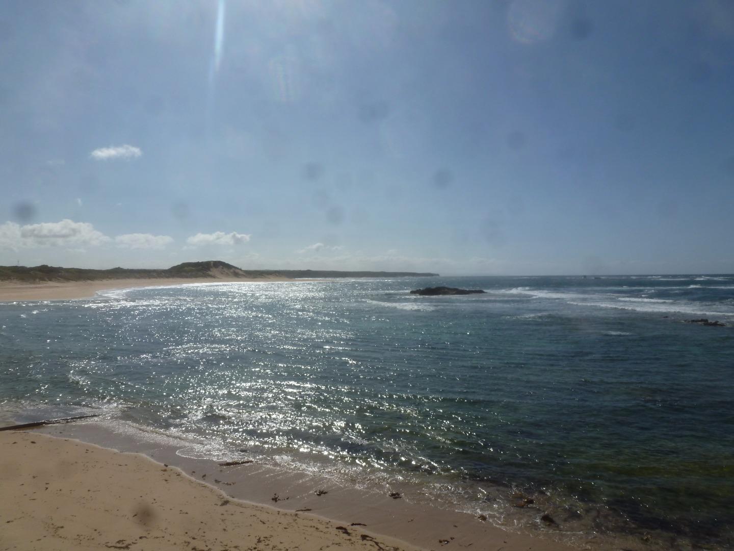
| #10293 | 8 Mar 2016 | Approved | Notes: Unable to see the horizon from the river size. Photo taken and sent. Berm 199.4m in length | |
| #10308 | 6 Feb 2016 | Approved | Notes: Ocean not visible over berm. Measured to the top of "Day Dream island" . Using this method, the height of the berm above the estuary water level was 1.10m. The berm length was 152m. | |
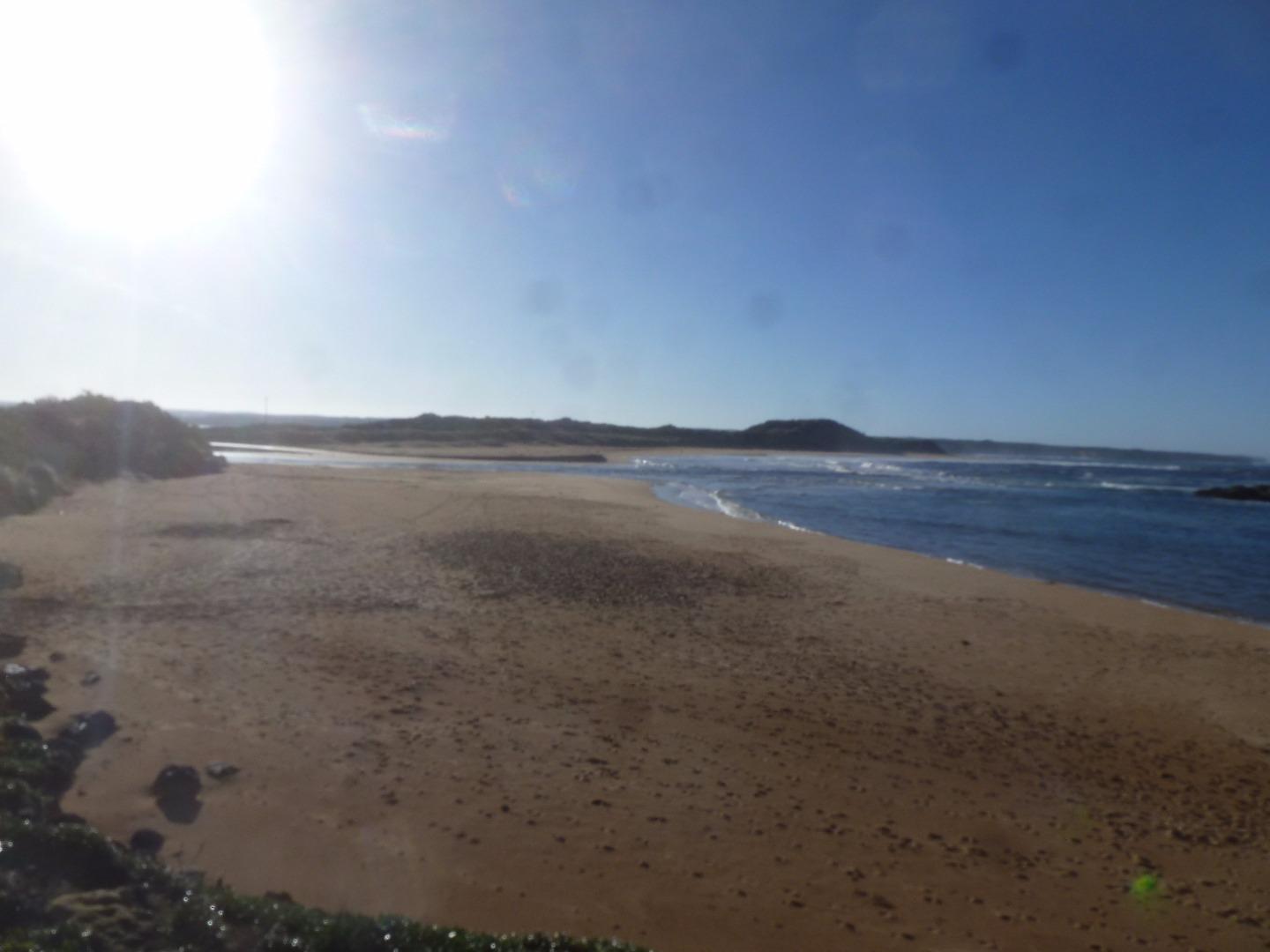
| #10318 | 12 Jan 2016 | Approved | Notes: Sand berm was too high to take an accurate measurement of height about estuary and height above the sea. Berm length was 130m. | |
| #10024 | 4 Dec 2015 | Approved | Notes: Berm length was 163m. Highest point in the sand berm was close to the ocean. | |
| #9964 | 26 Nov 2015 | Approved | Notes: Berm length was 162m long. There was evidence of seawater over topping the berm. | |
| #9967 | 13 Oct 2015 | Approved | Notes: There is seawater overtopping the berm at high tide. The berm length is 92m. | |
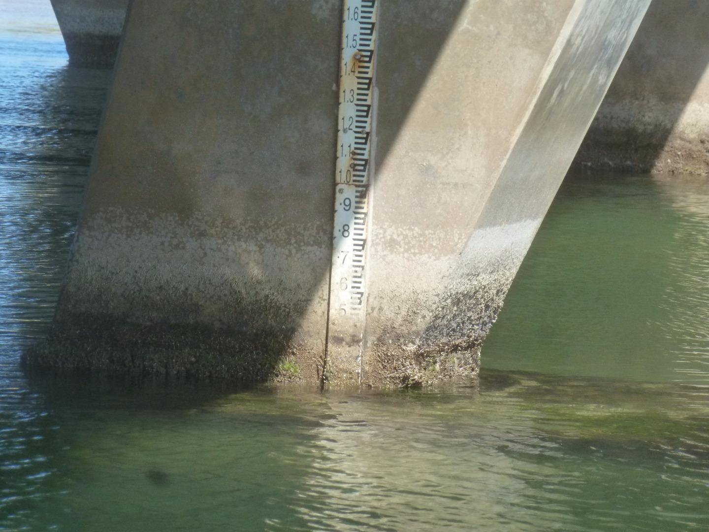
| #9859 | 19 Sep 2015 | Approved |
Notes:
Gauge board needs scrubbing.
|
|
| #9861 | 18 Aug 2015 | Approved | Notes: Sea state has varied from calm to very rough over the last two weeks. | |
| #9760 | 25 Jul 2015 | Approved | Notes: Berm 84m horizontal length. Water level too high to monitor from Boggy Creek. | |
| #10518 | 12 Jul 2015 | Approved | ||
| #9766 | 26 Jun 2015 | Approved | ||
| #9761 | 16 Jun 2015 | Approved | Notes: Unable to record berm measurements with one person. | |
| #9641 | 3 Jun 2015 | Approved | ||
| #9762 | 2 Jun 2015 | Approved |
|
|
| #9630 | 30 Apr 2015 | Approved |
Notes:
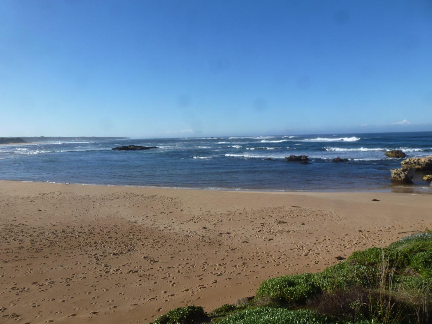
Berm was too large to measure, over 250+metres. Pelicans and a big flock of mountain ducks.
|
|
| #9625 | 1 Apr 2015 | Approved |
Notes:
Berm was 205 long, hard to measure. Phone call needed to communicate between two people taking the measurements
|
|
| #9491 | 20 Feb 2015 | Approved | Notes: The berm is 230m long. | |
| #9399 | 10 Feb 2015 | Approved | Notes: Chatted to a lady who had been holidaying in Peterborough for 60 years. | |
| #9329 | 10 Jan 2015 | Approved | Notes: Berm length was 180 meters long. | |
| #9205 | 8 Nov 2014 | Approved |
|
|
| #9185 | 14 Oct 2014 | Approved | Notes: The estuary was open yesterday at 16:40. | |
| #9174 | 13 Sep 2014 | Approved | ||
| #9060 | 12 Aug 2014 | Approved |
|
|


All content, files, data and images provided by the EstuaryWatch Data Portal and Gallery are subject to a Creative Commons Attribution License
Content is made available to be used in any way, and should always attribute EstuaryWatch and www.estuarywatch.org.au