EstuaryWatch Data Portal
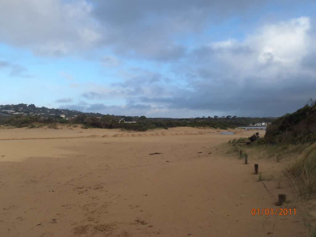
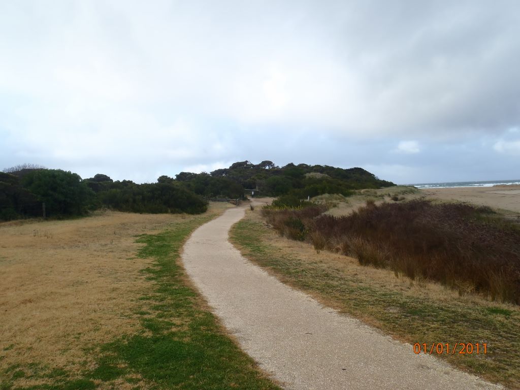
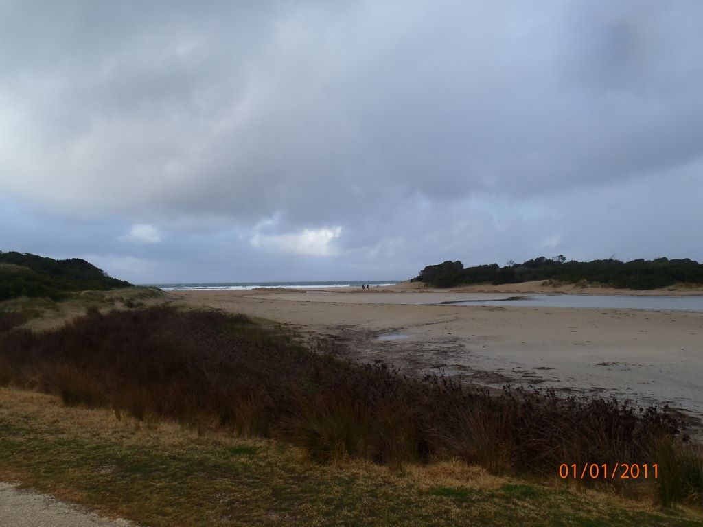
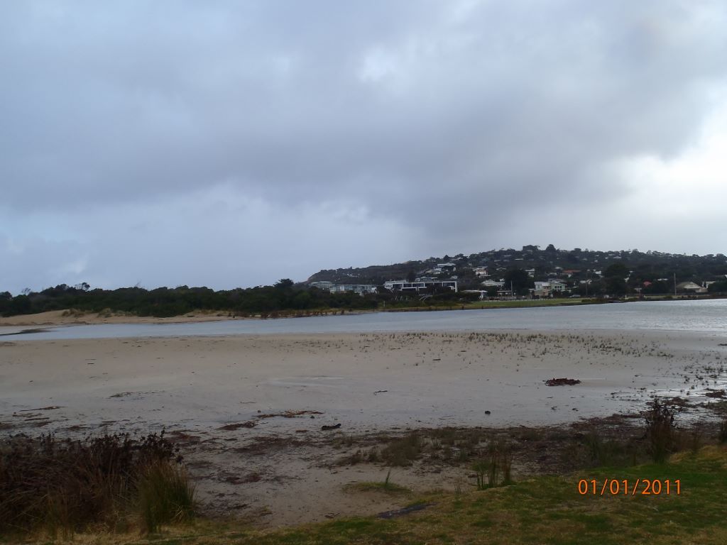
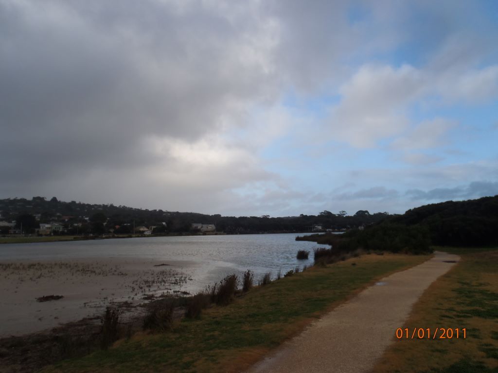
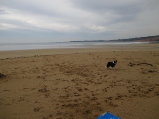
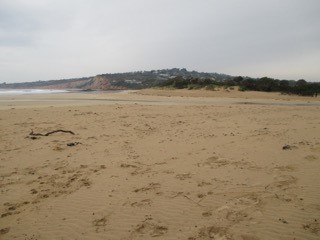
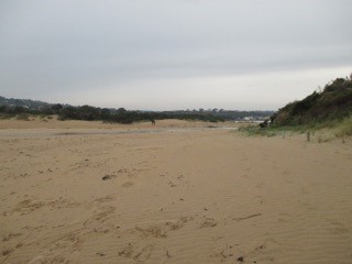
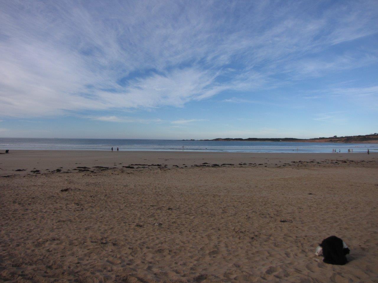
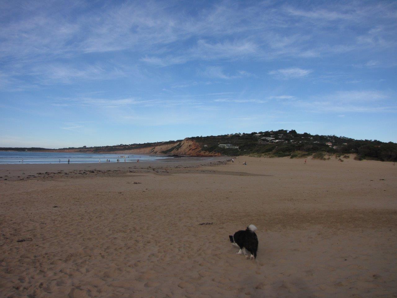
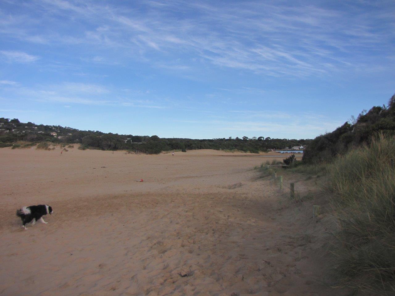
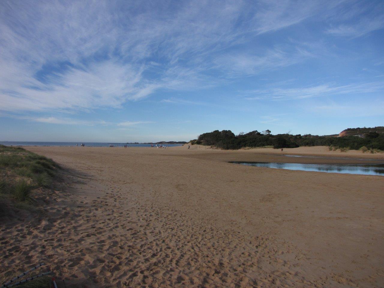
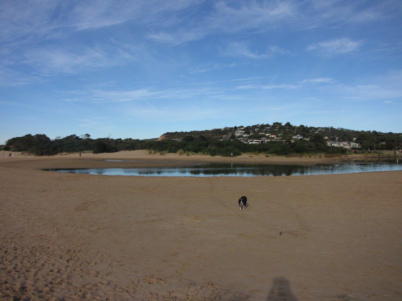
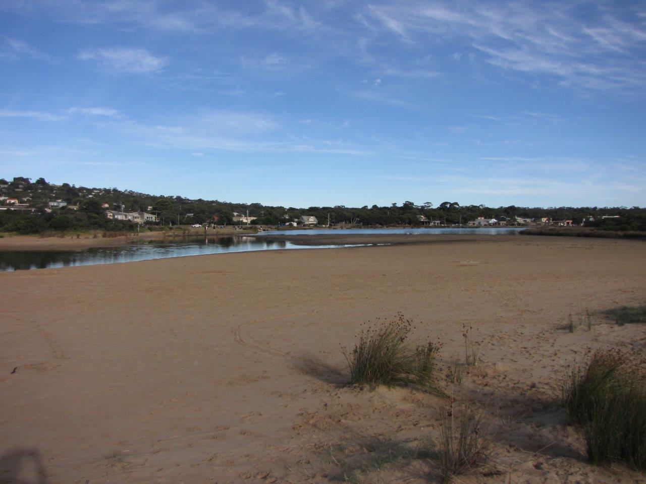
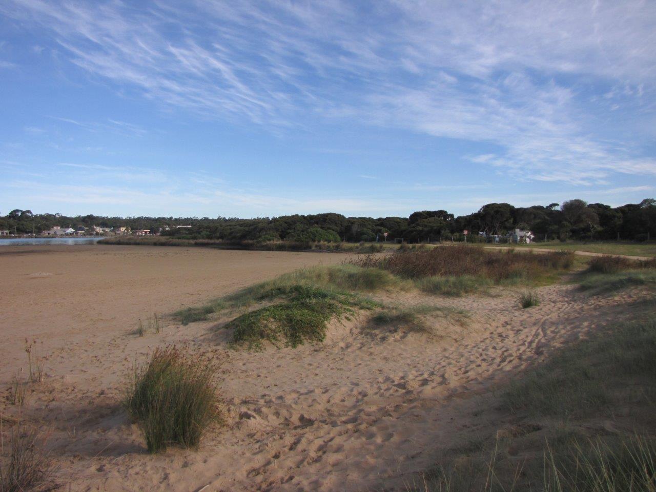
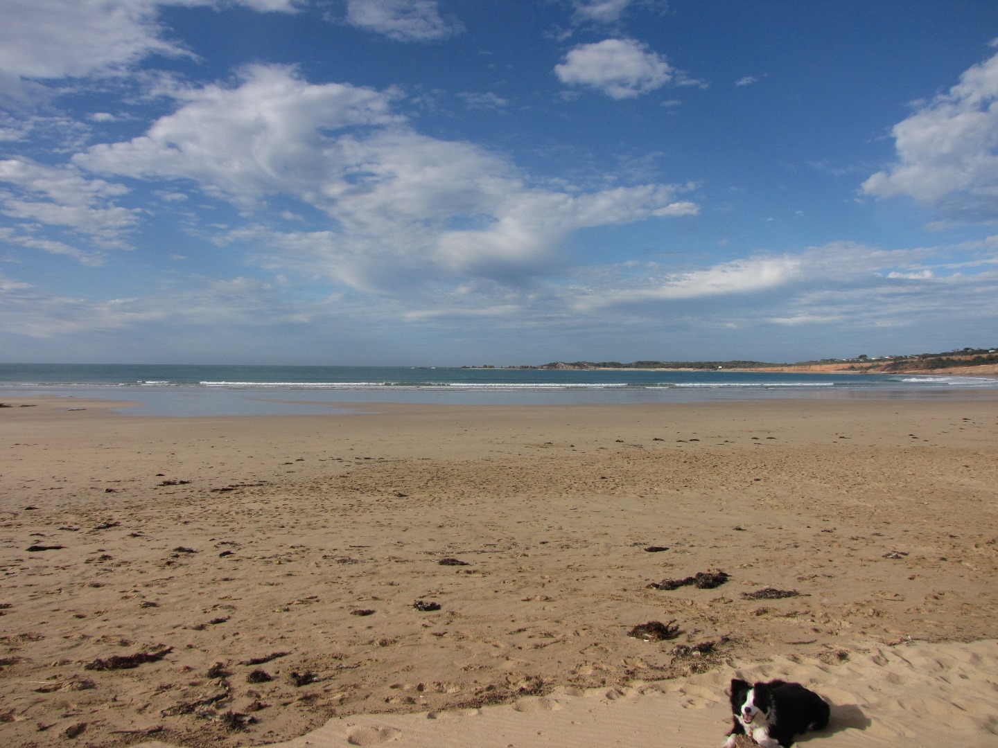
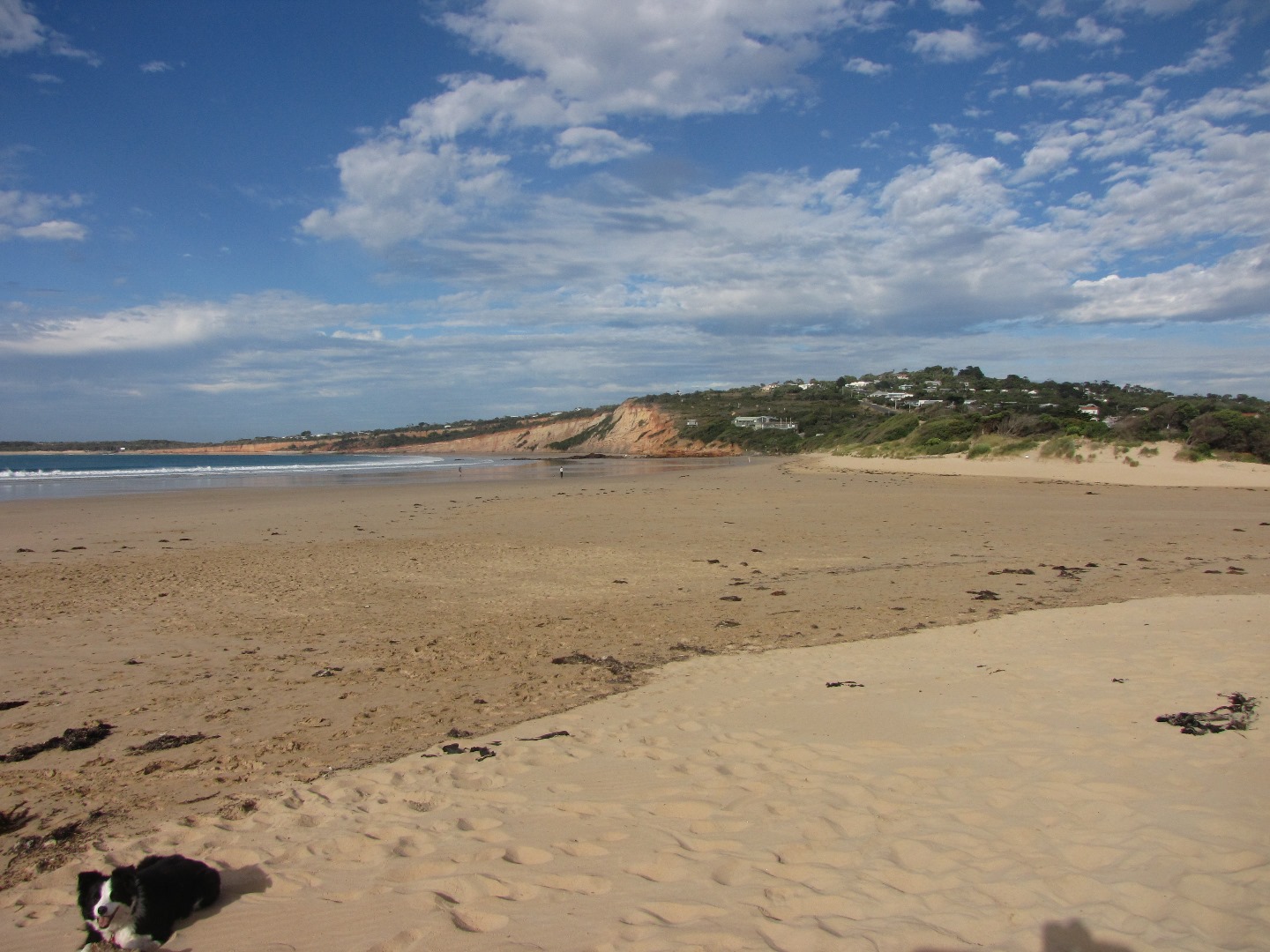
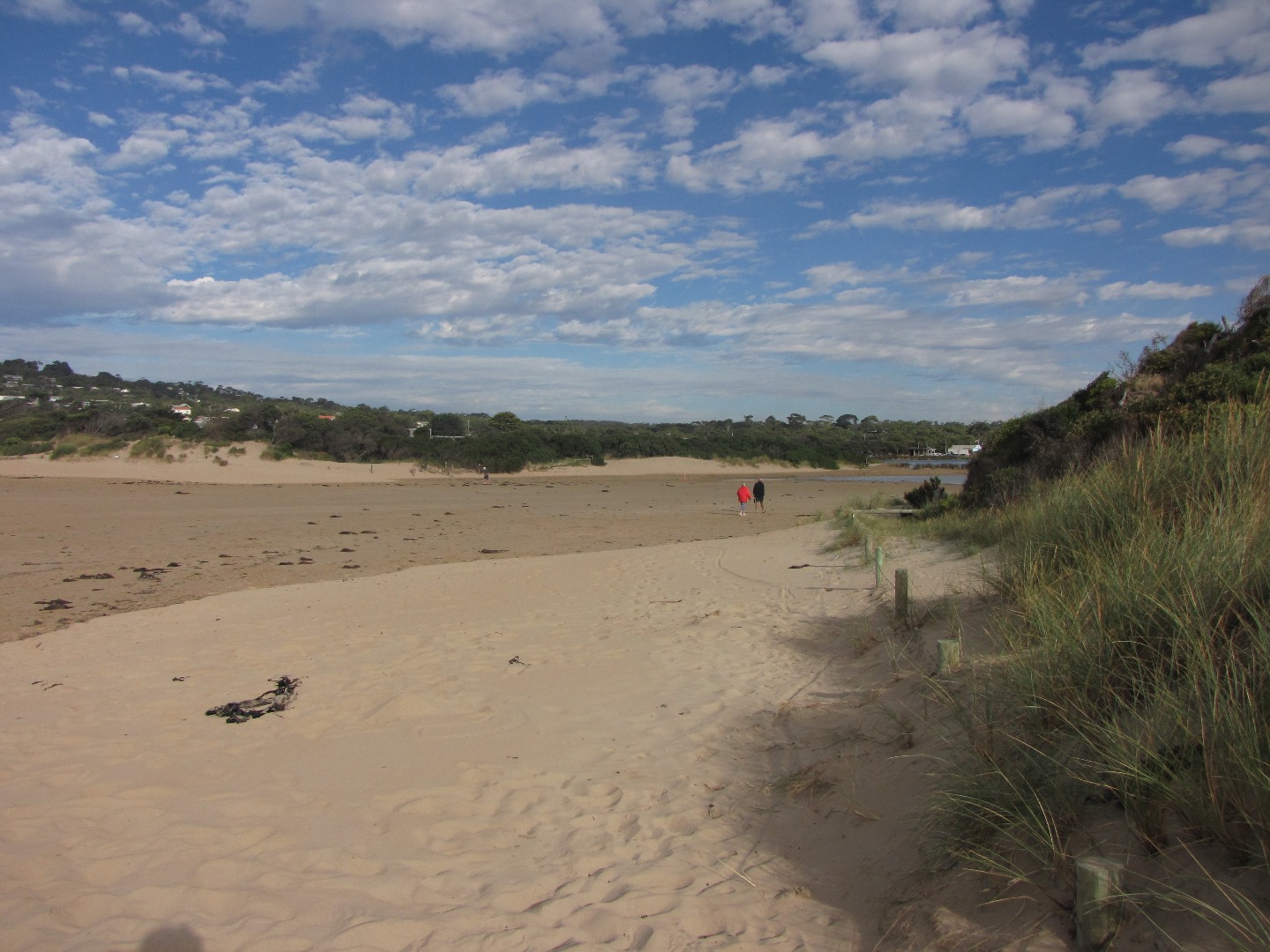
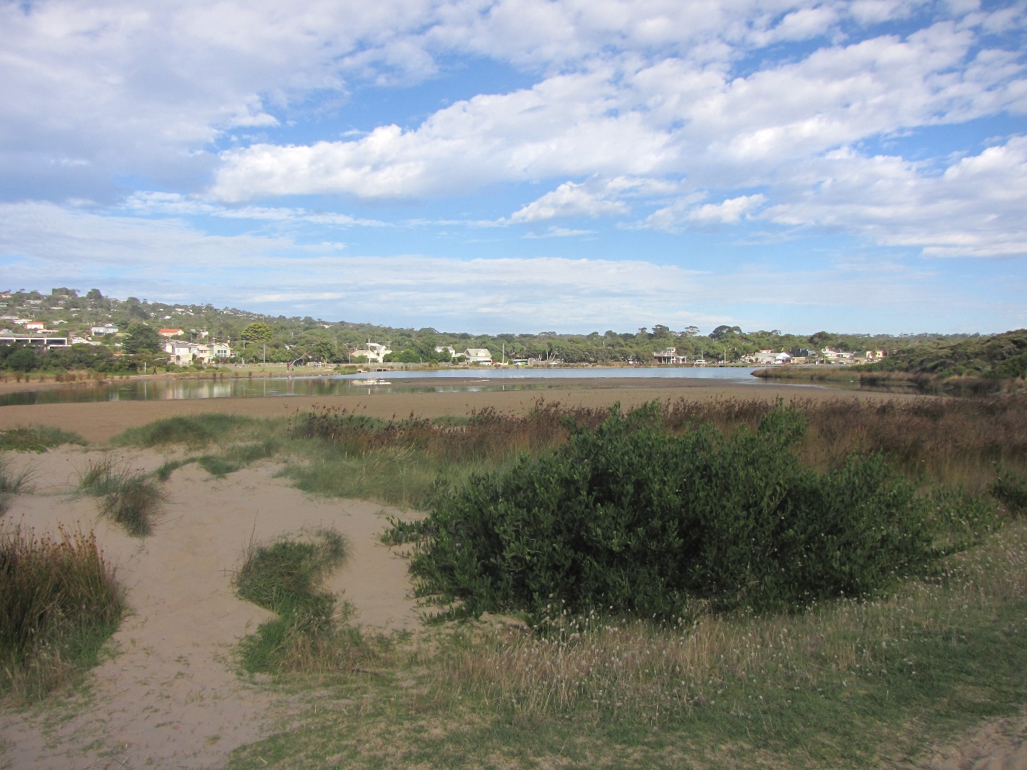
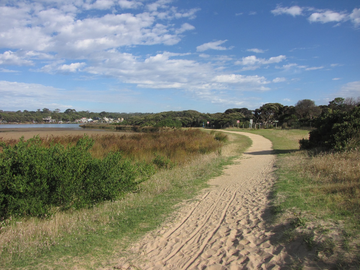
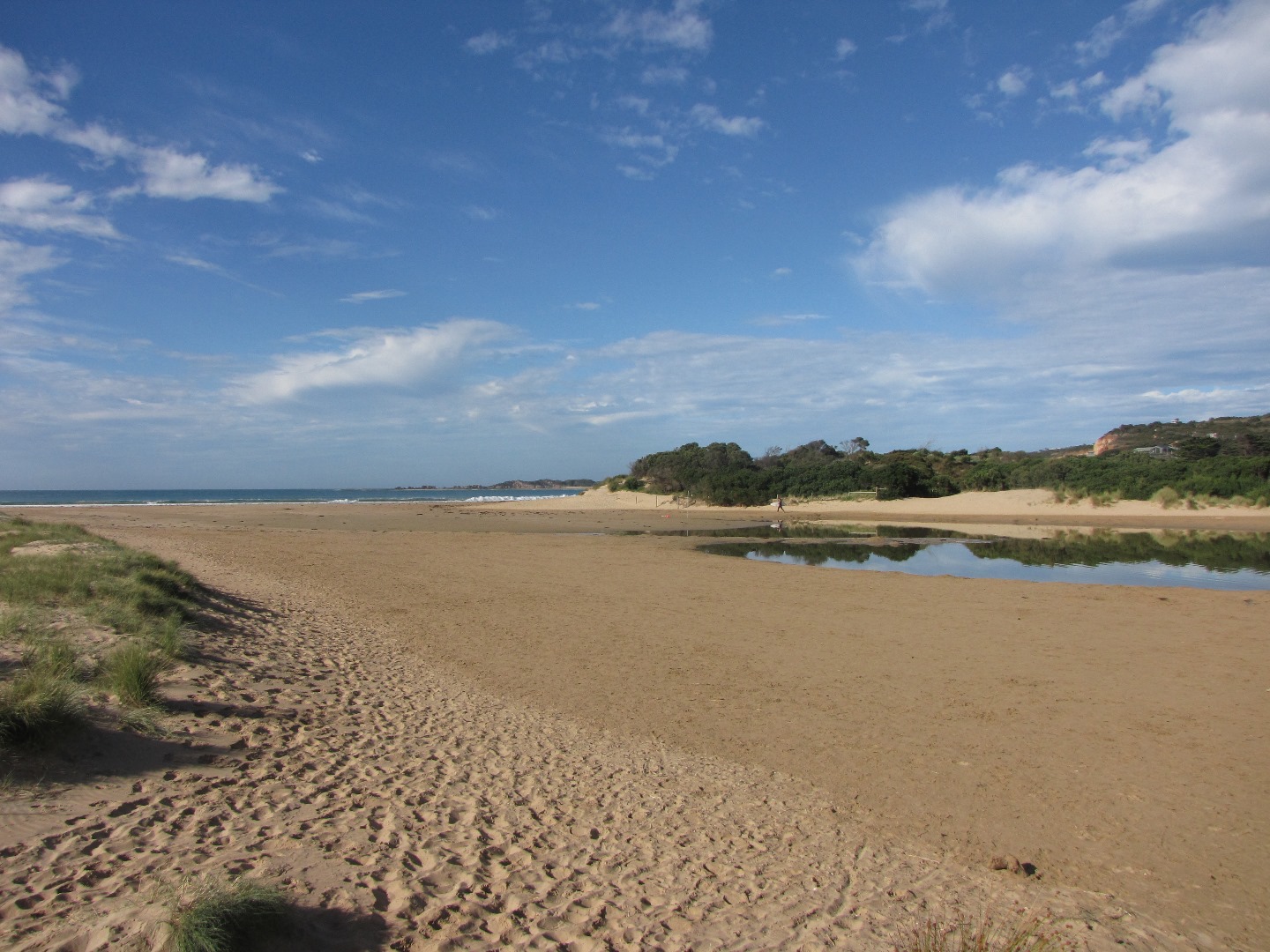
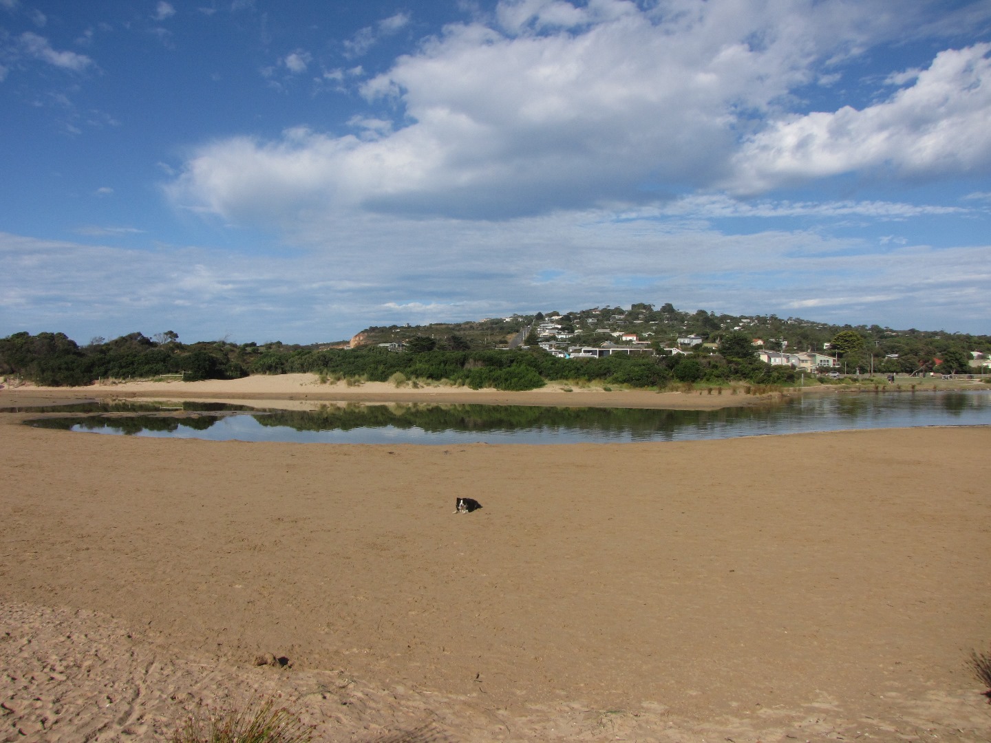
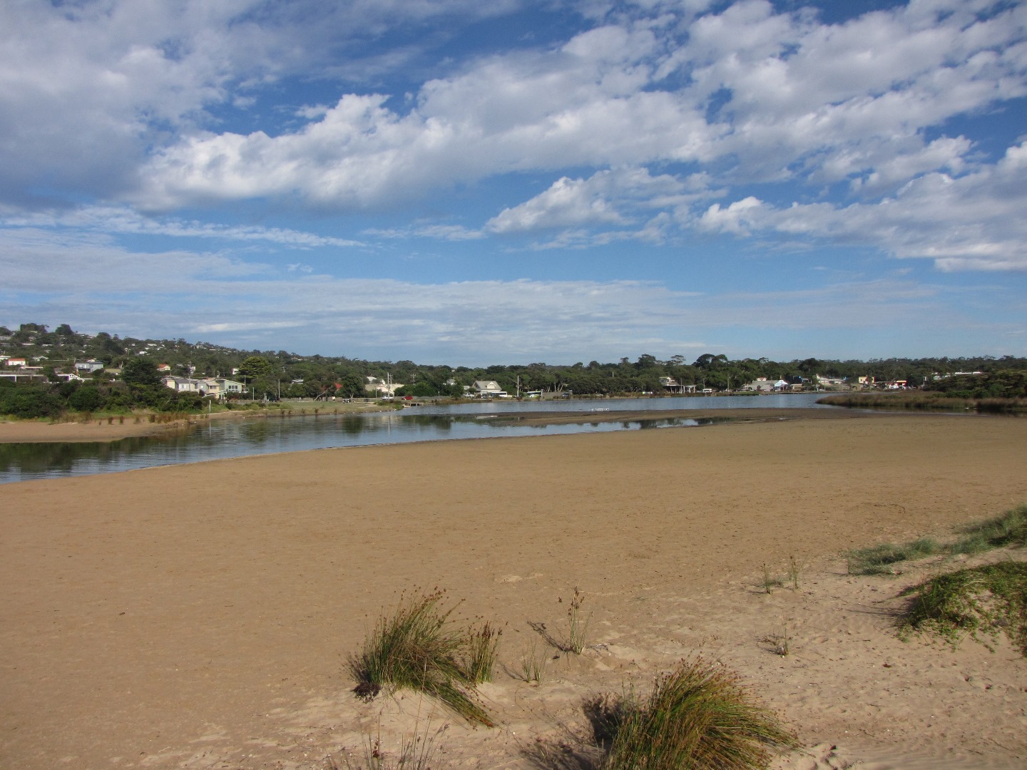
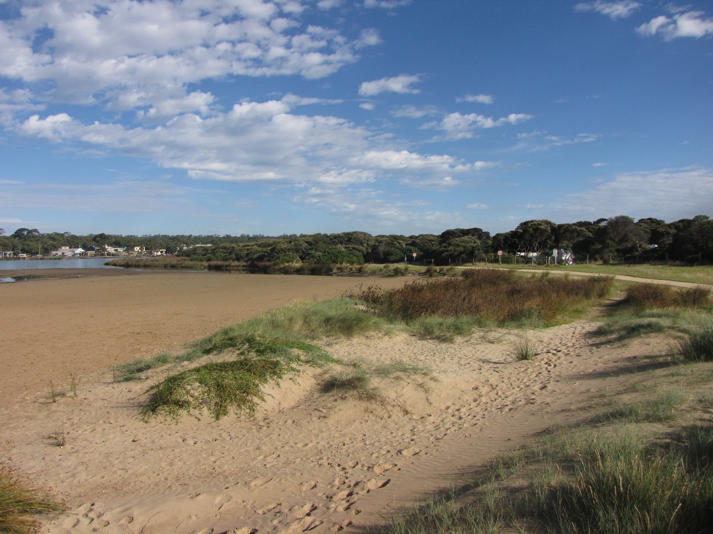
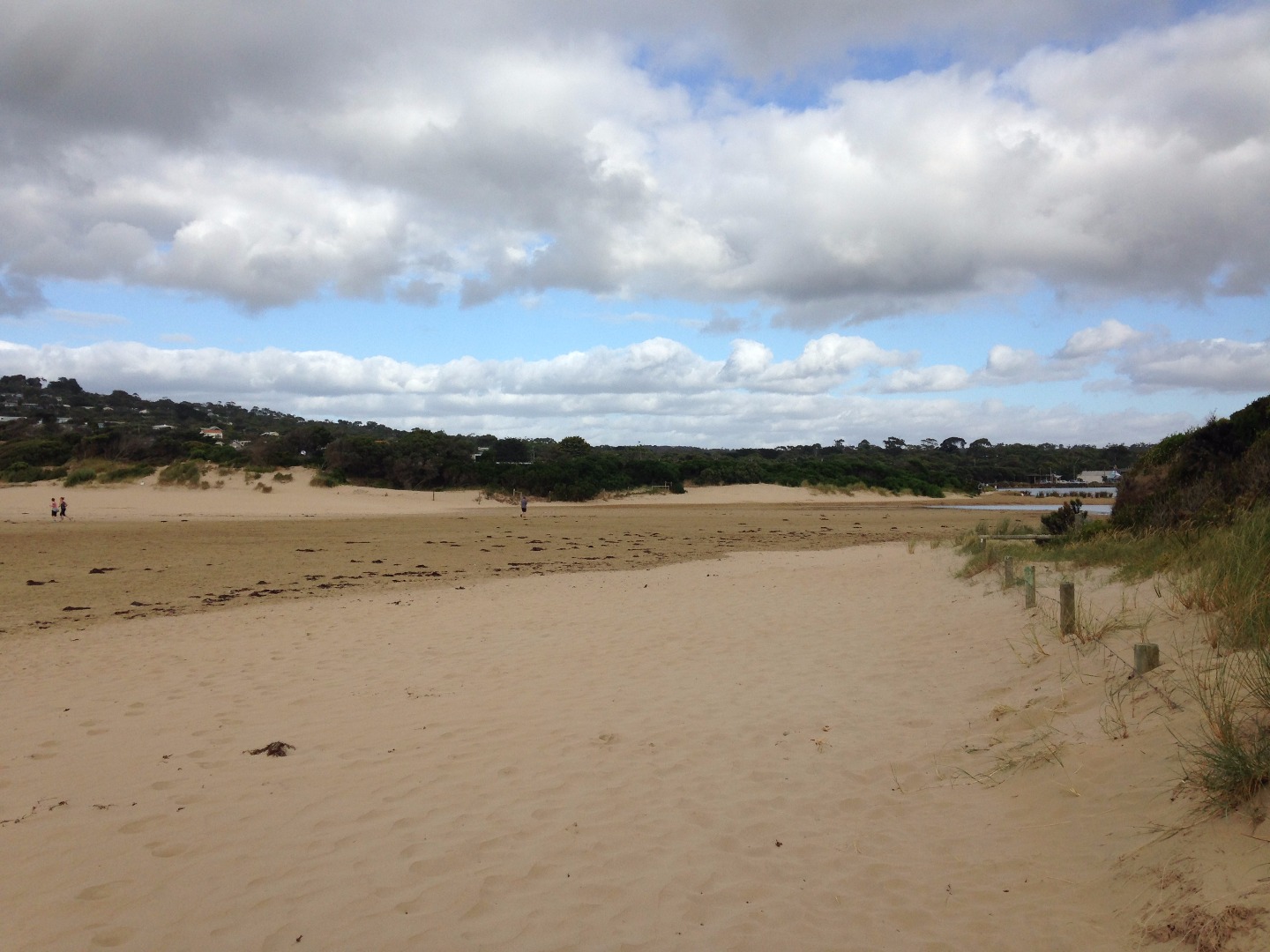
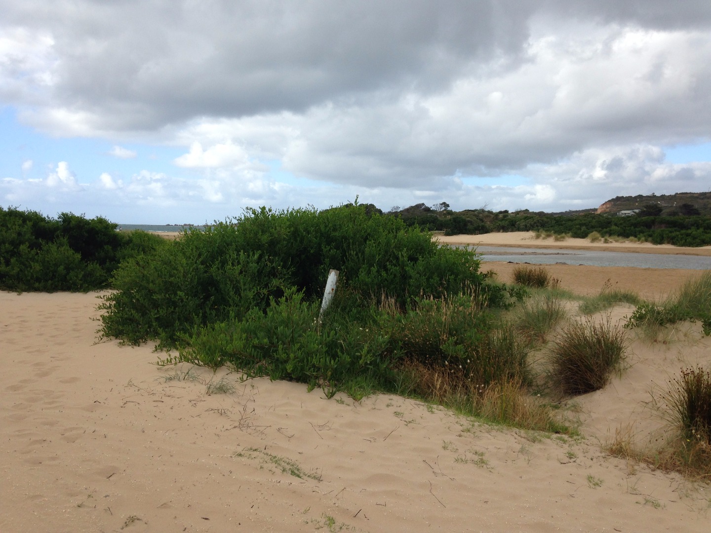
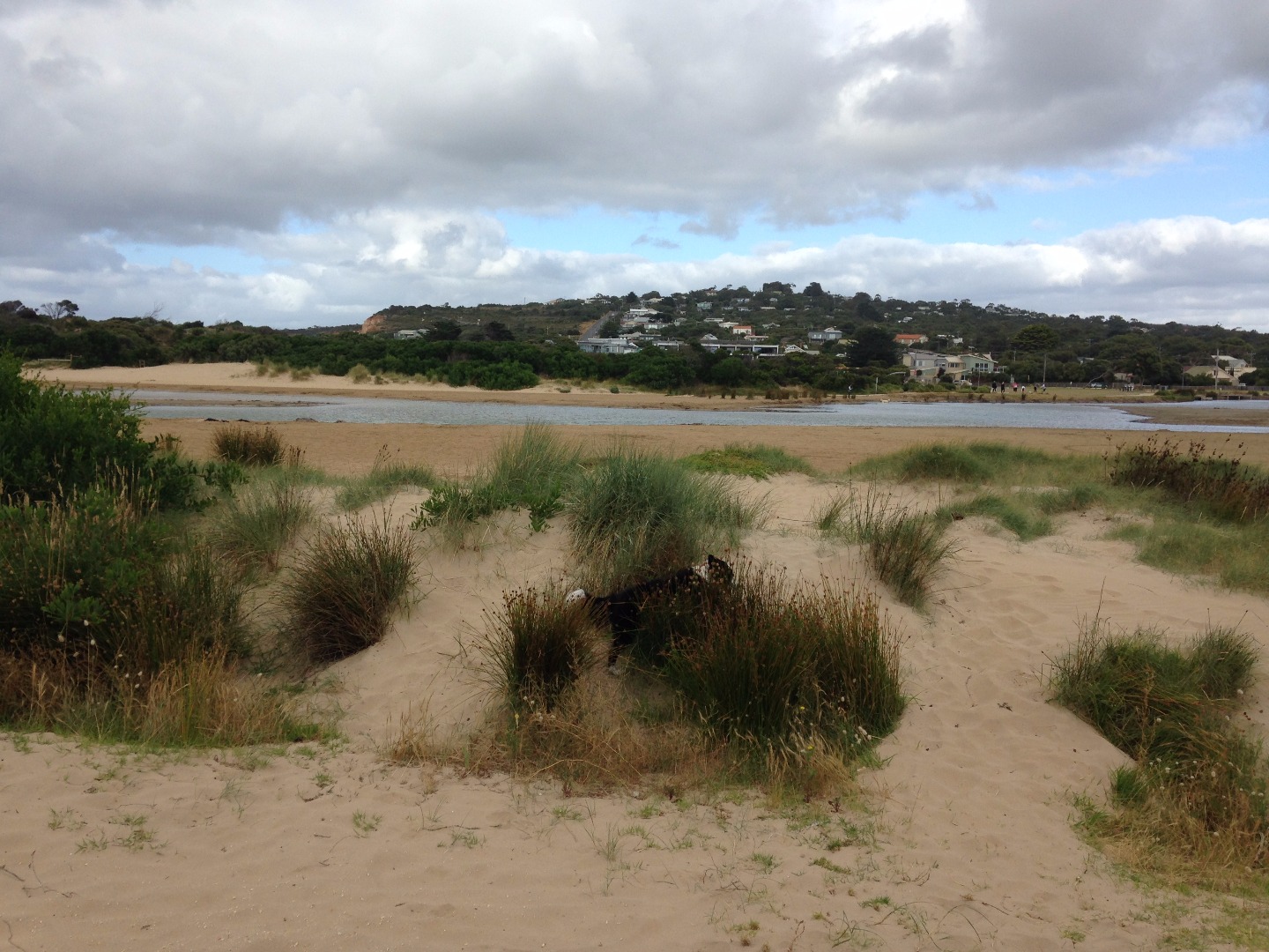
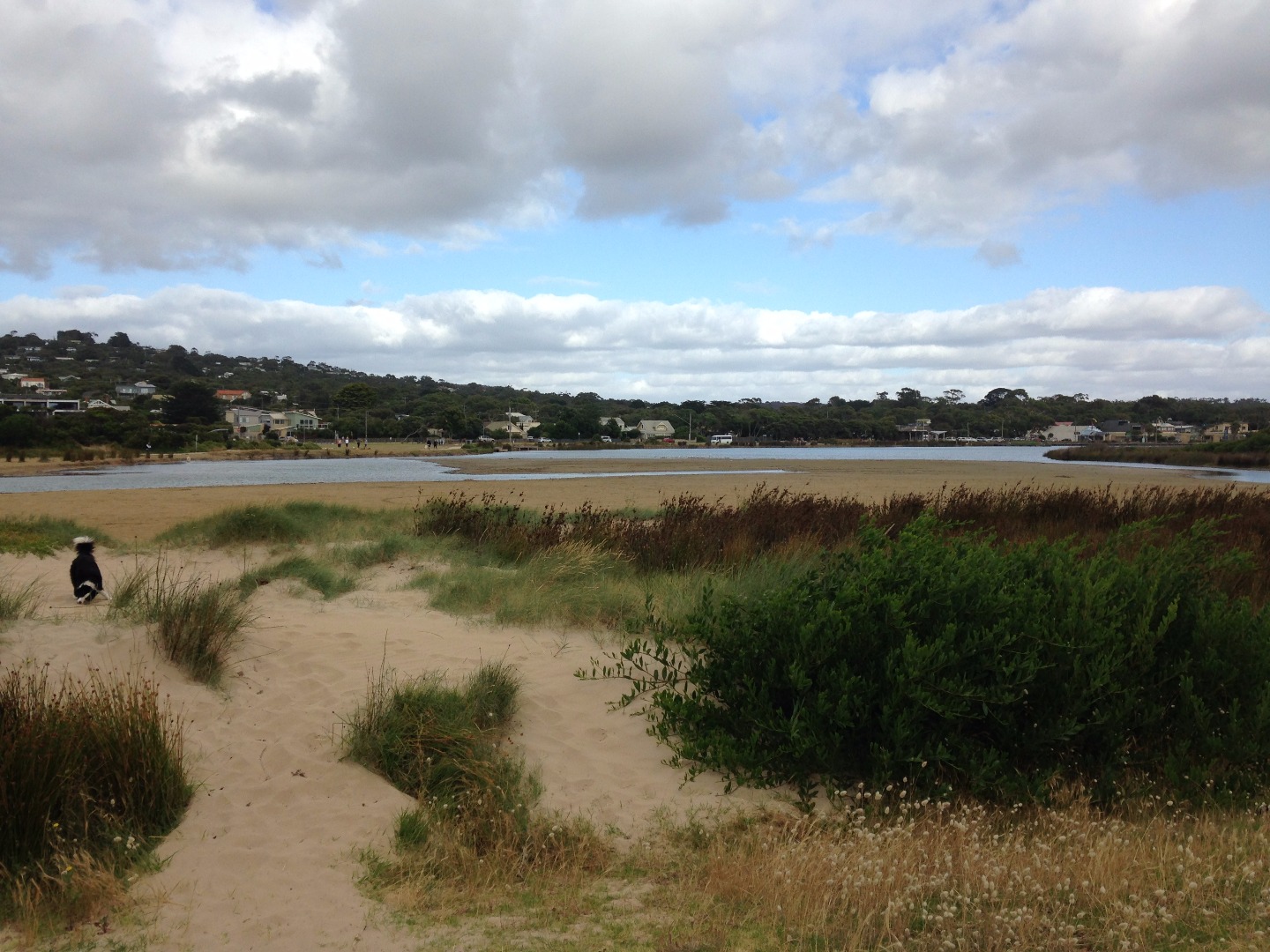
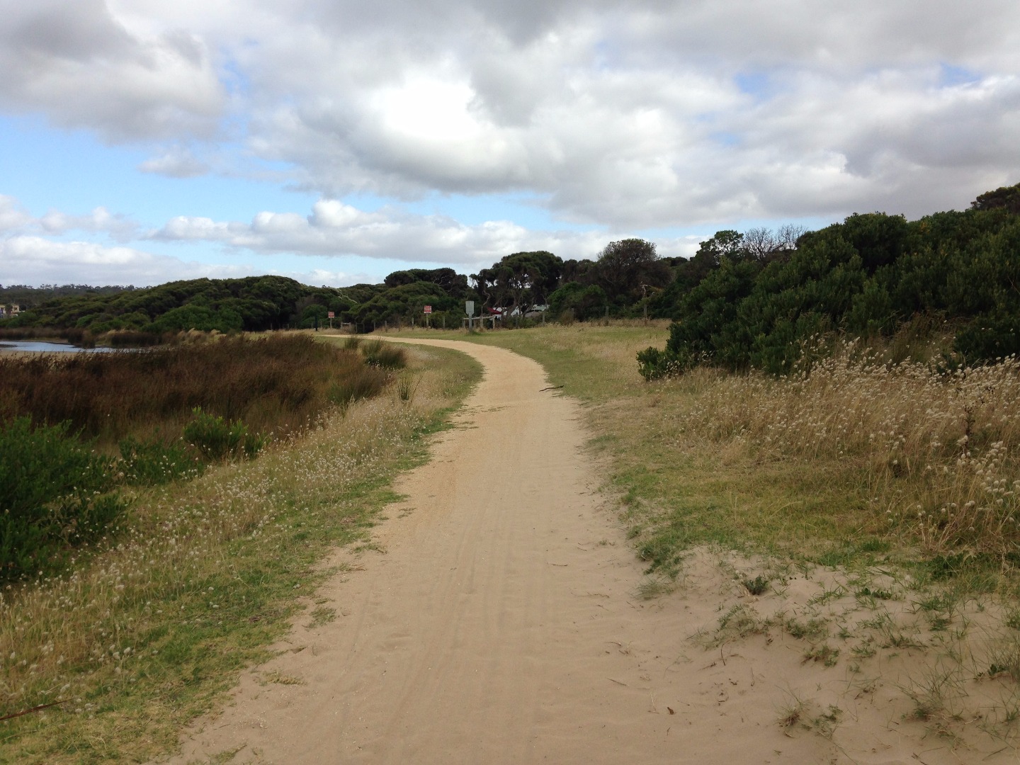
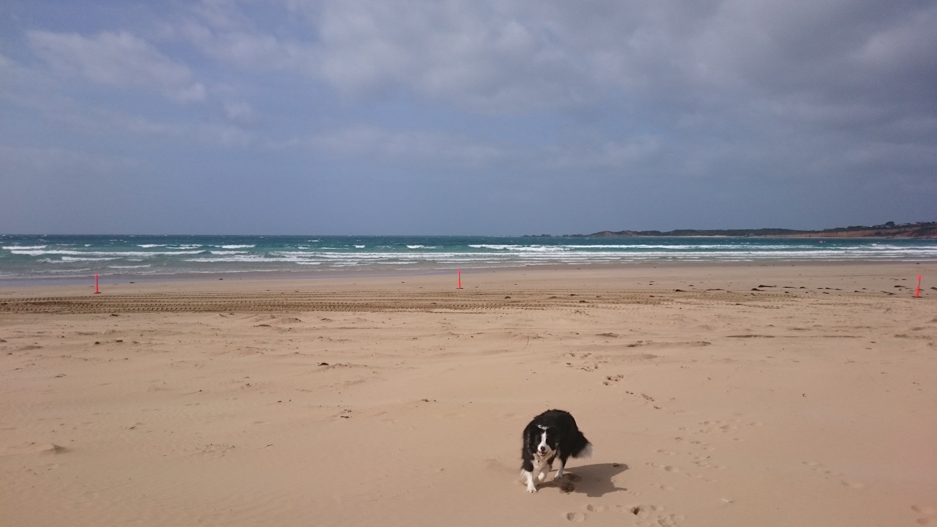
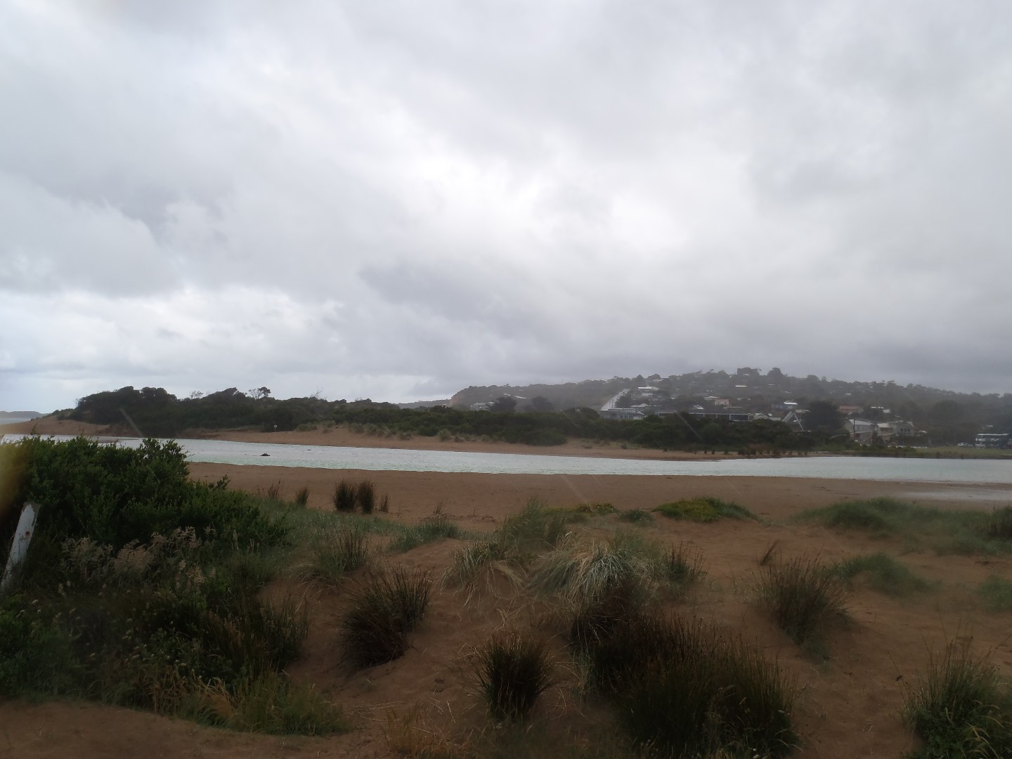
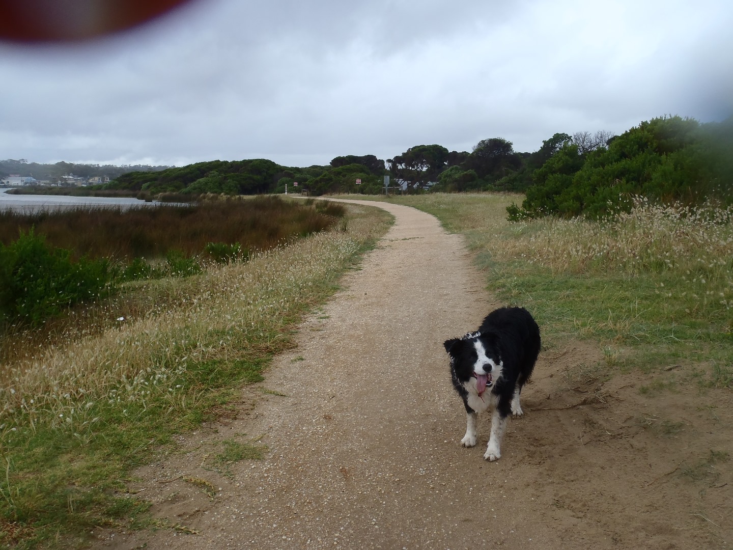
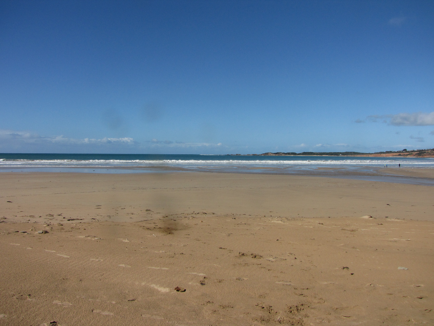
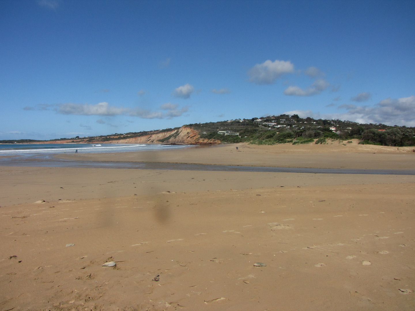
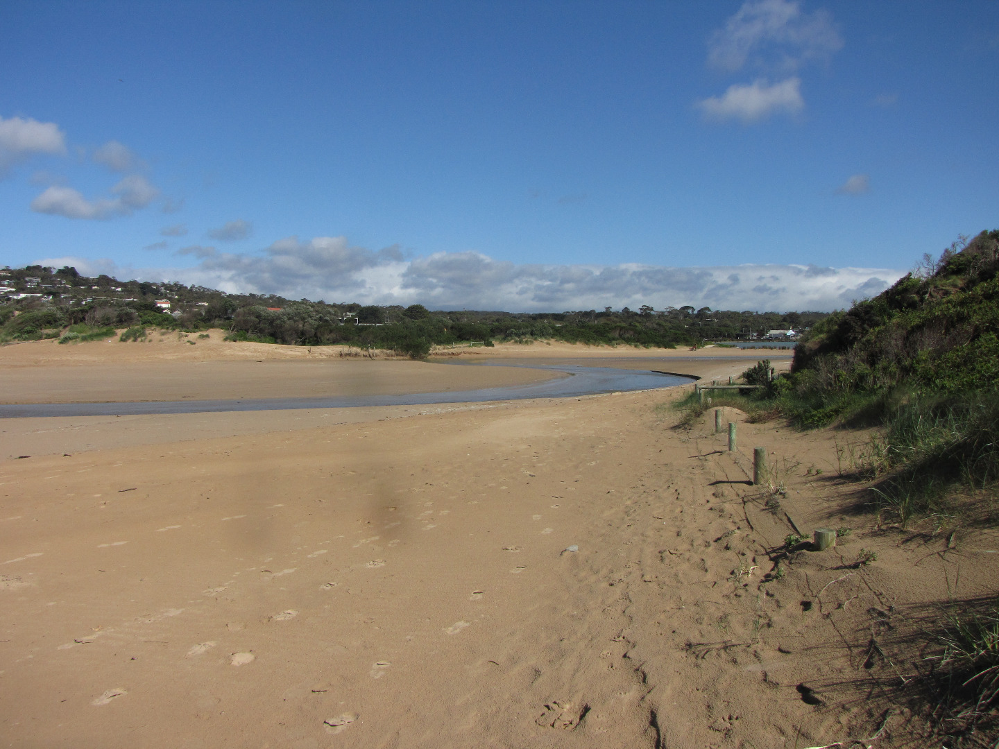
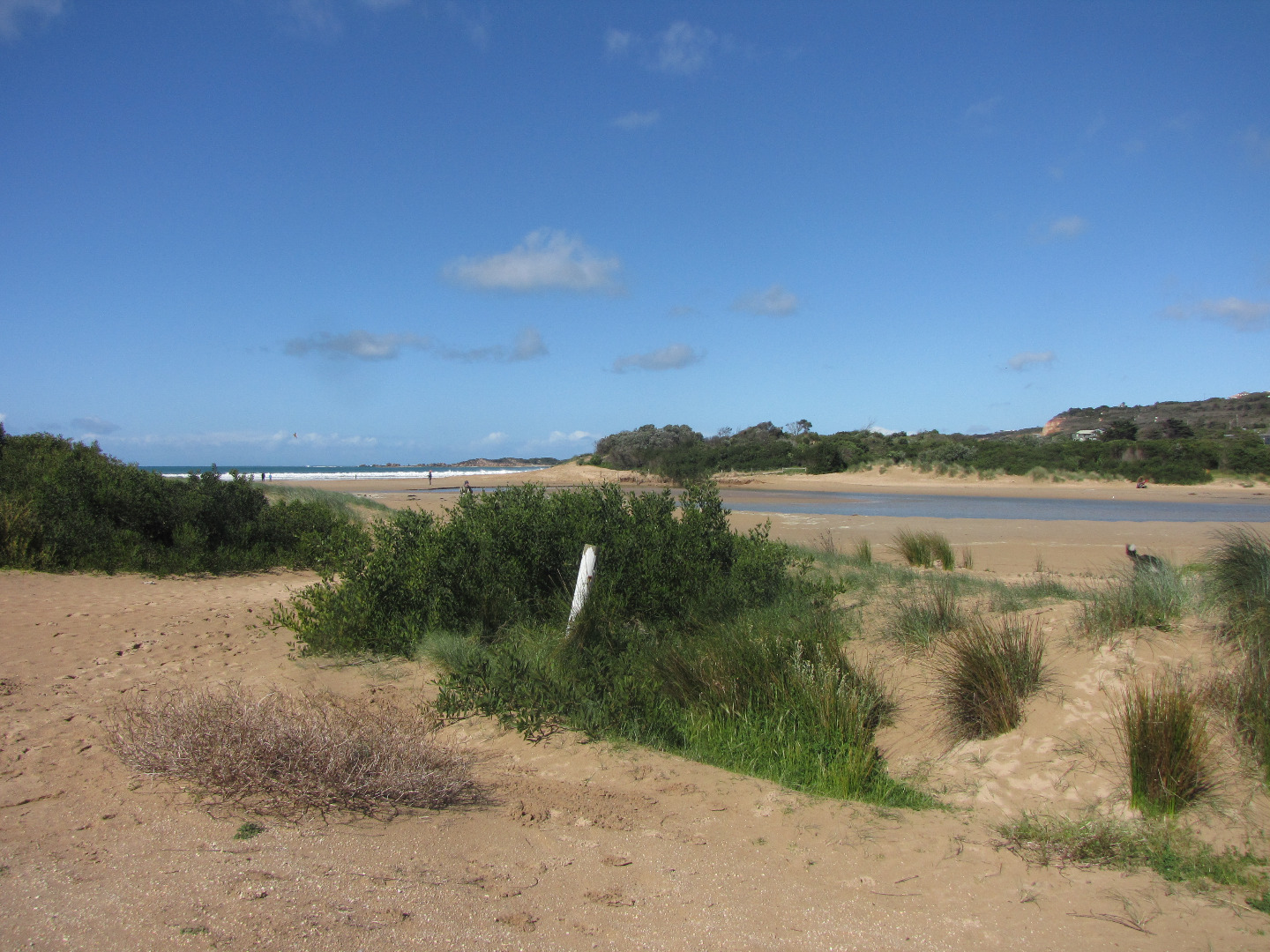
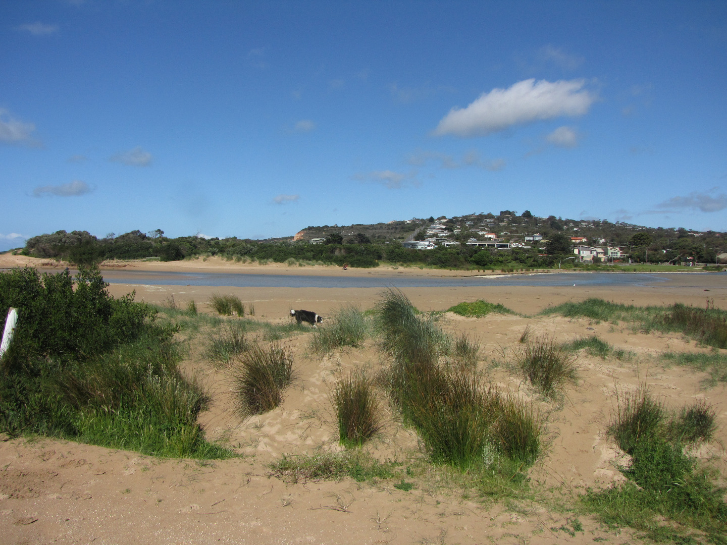
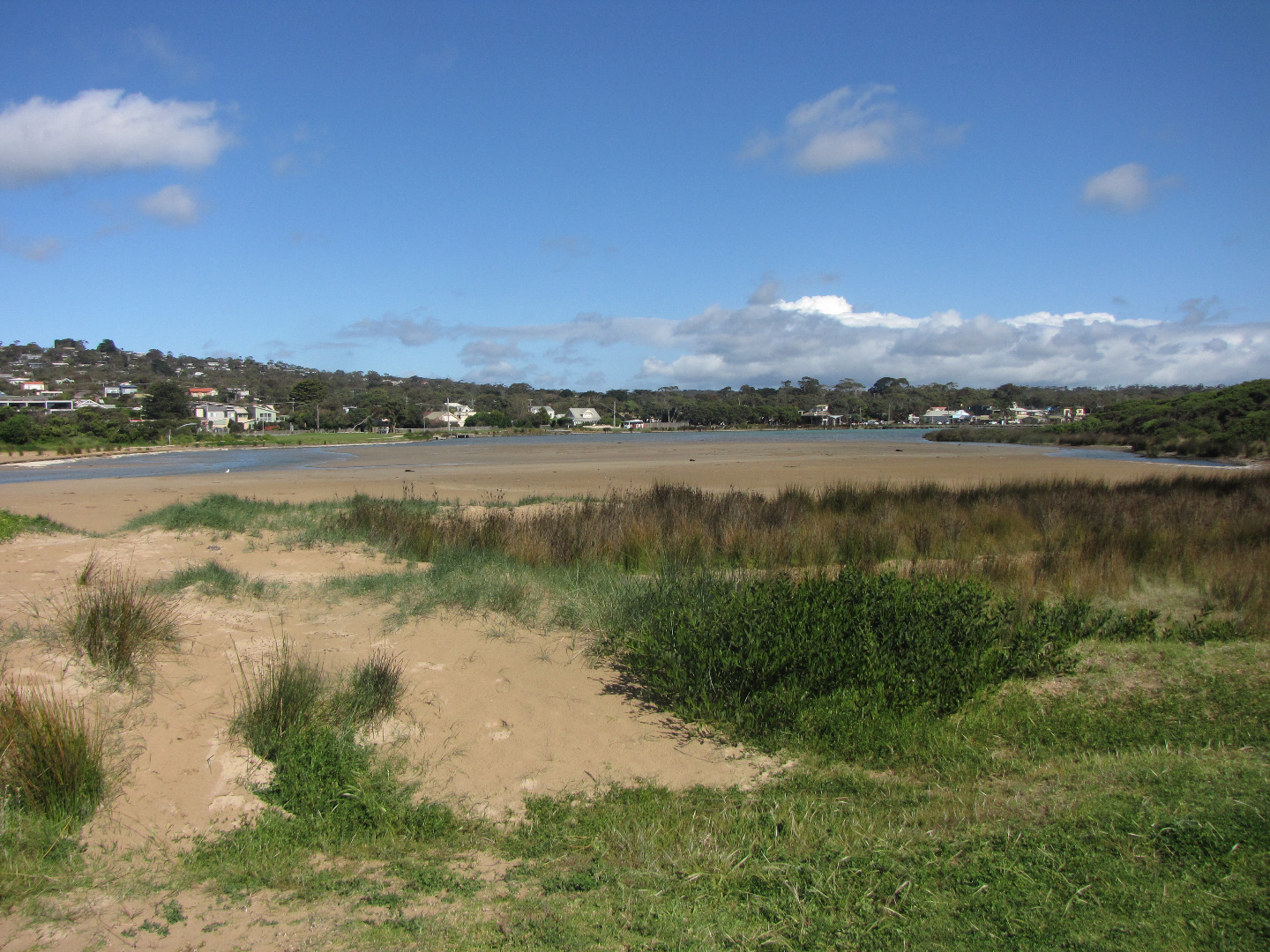
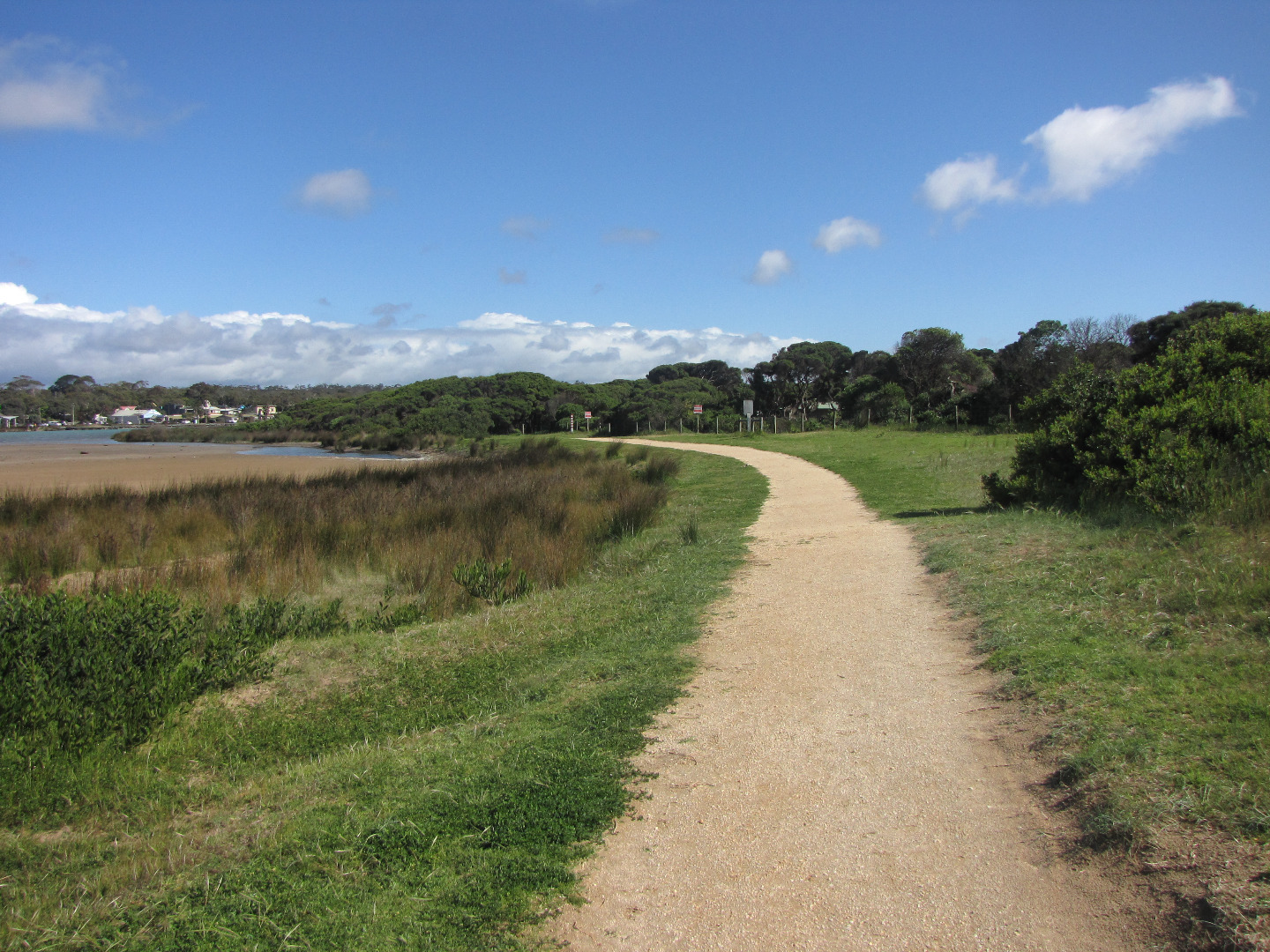
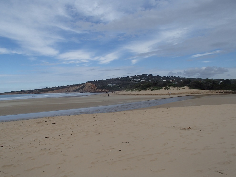
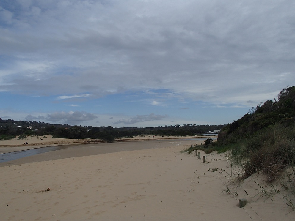
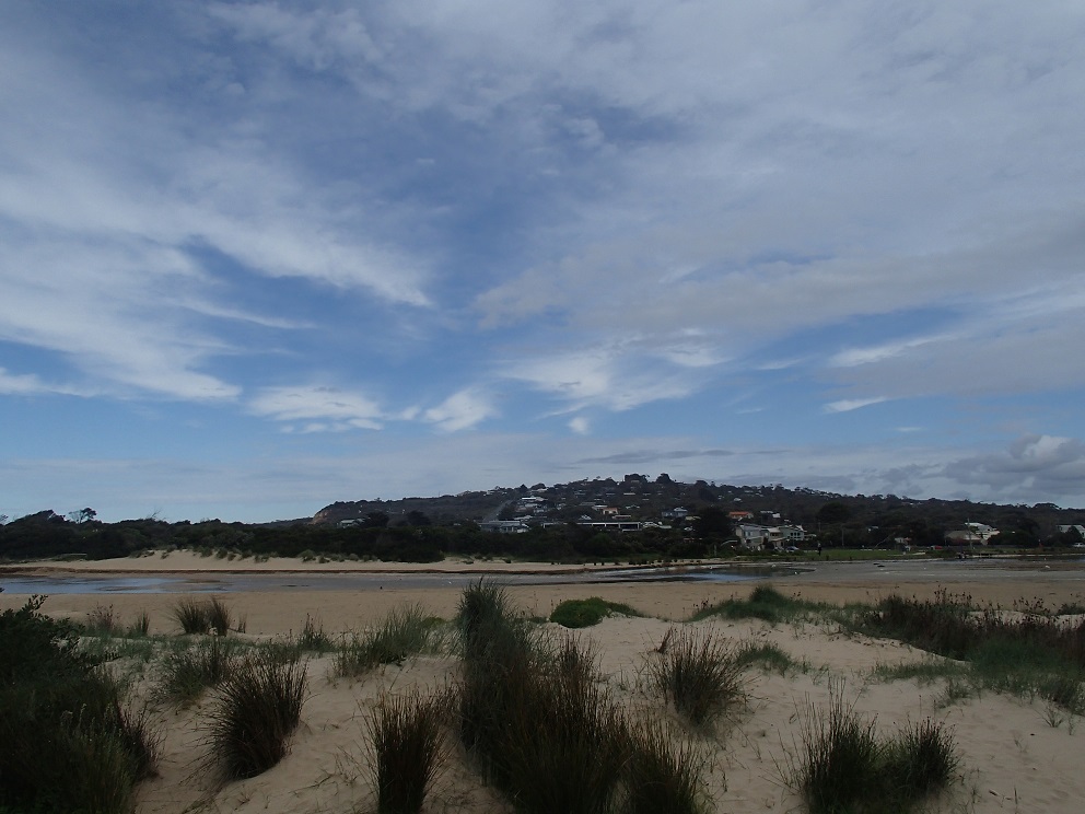
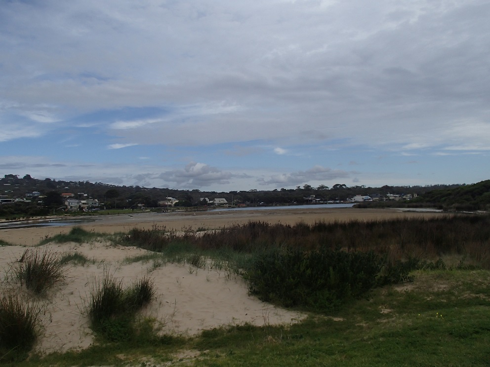
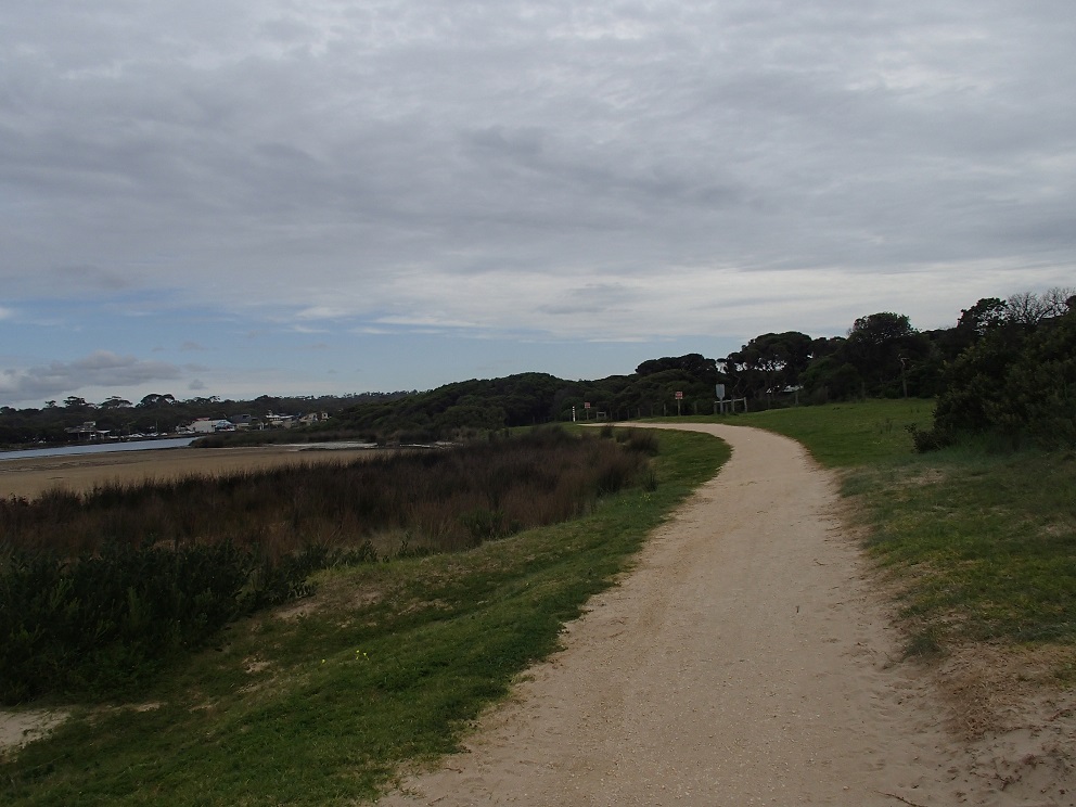
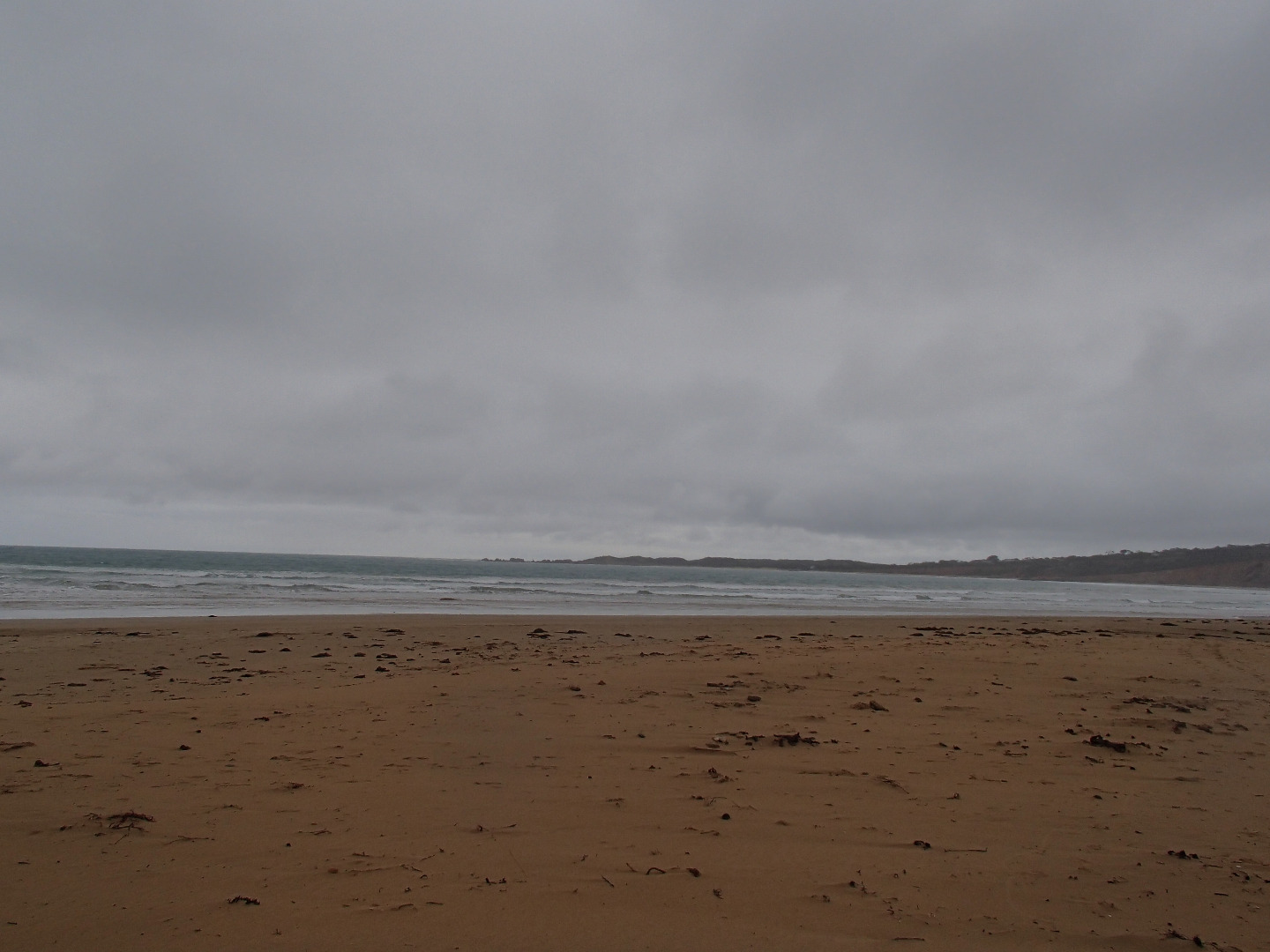
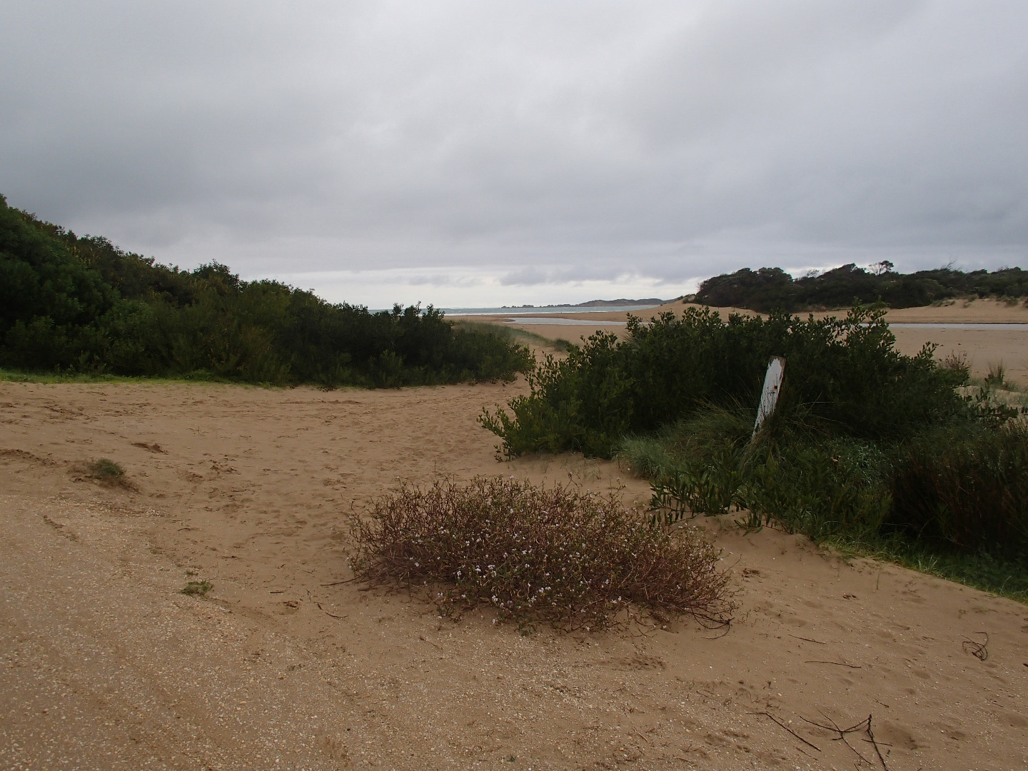
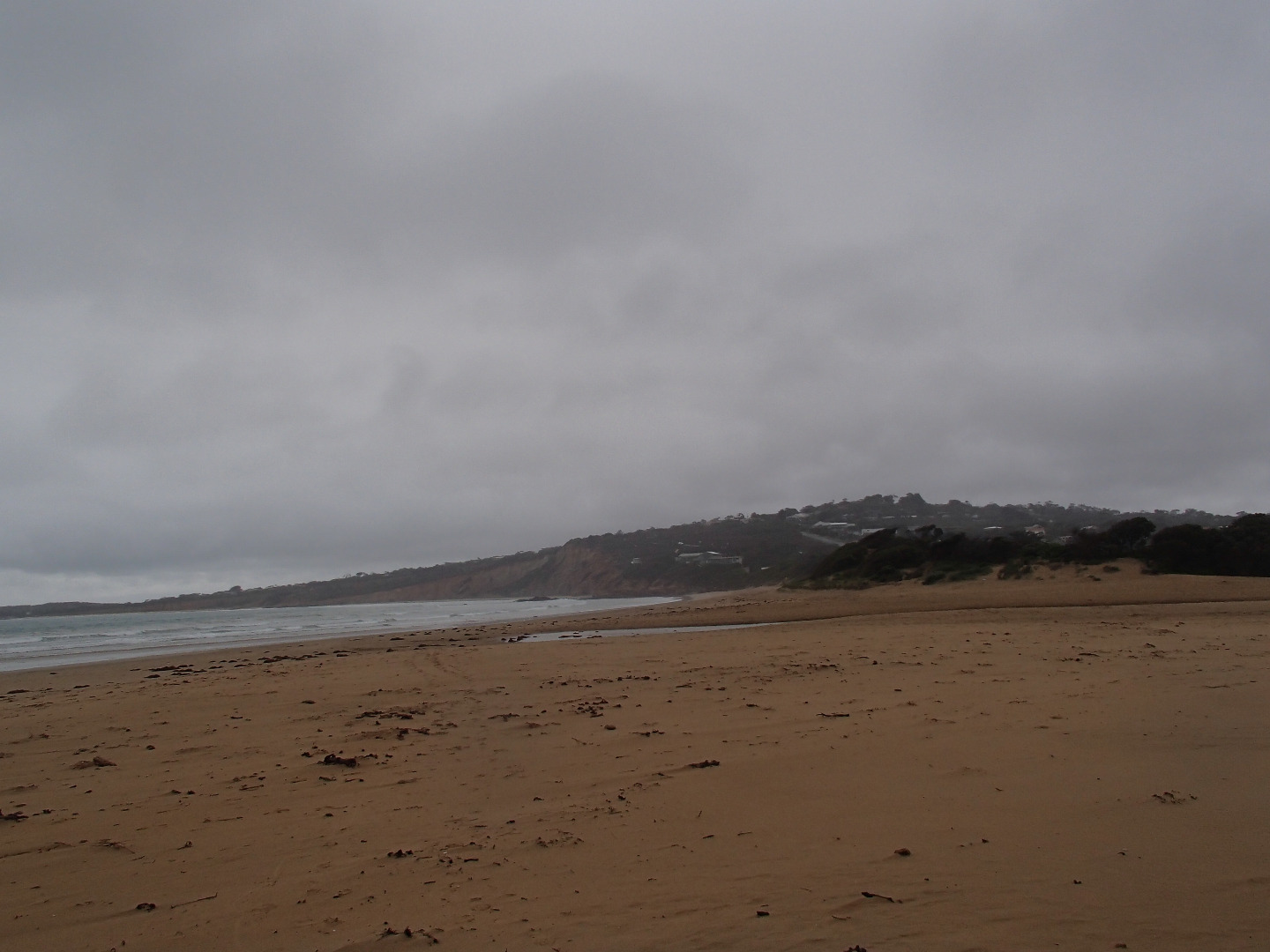
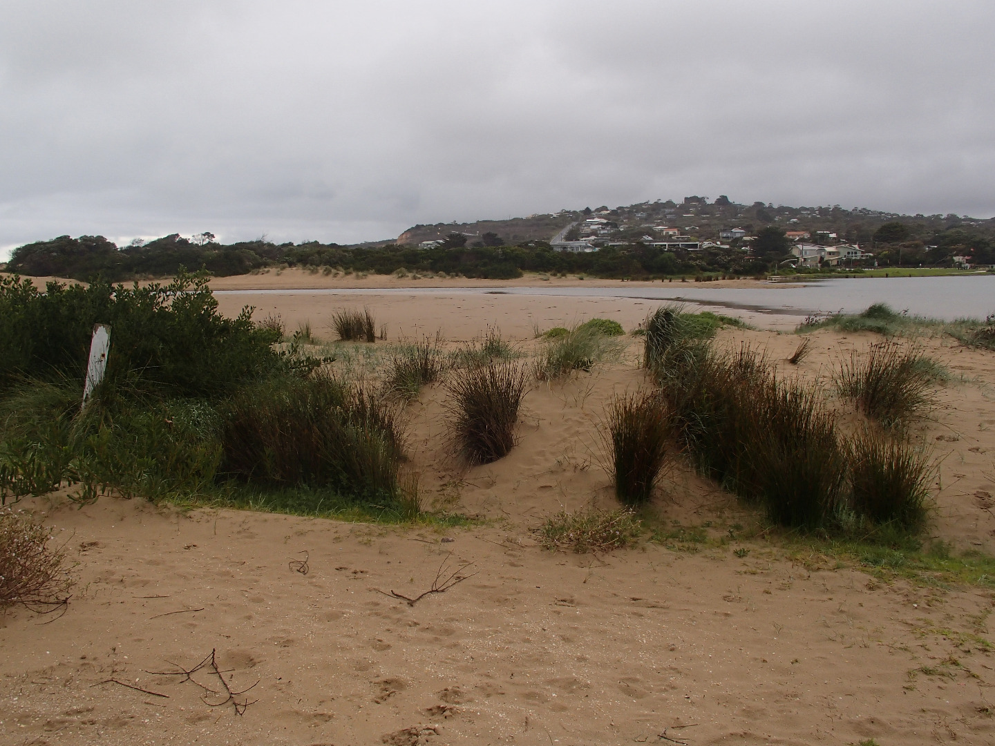
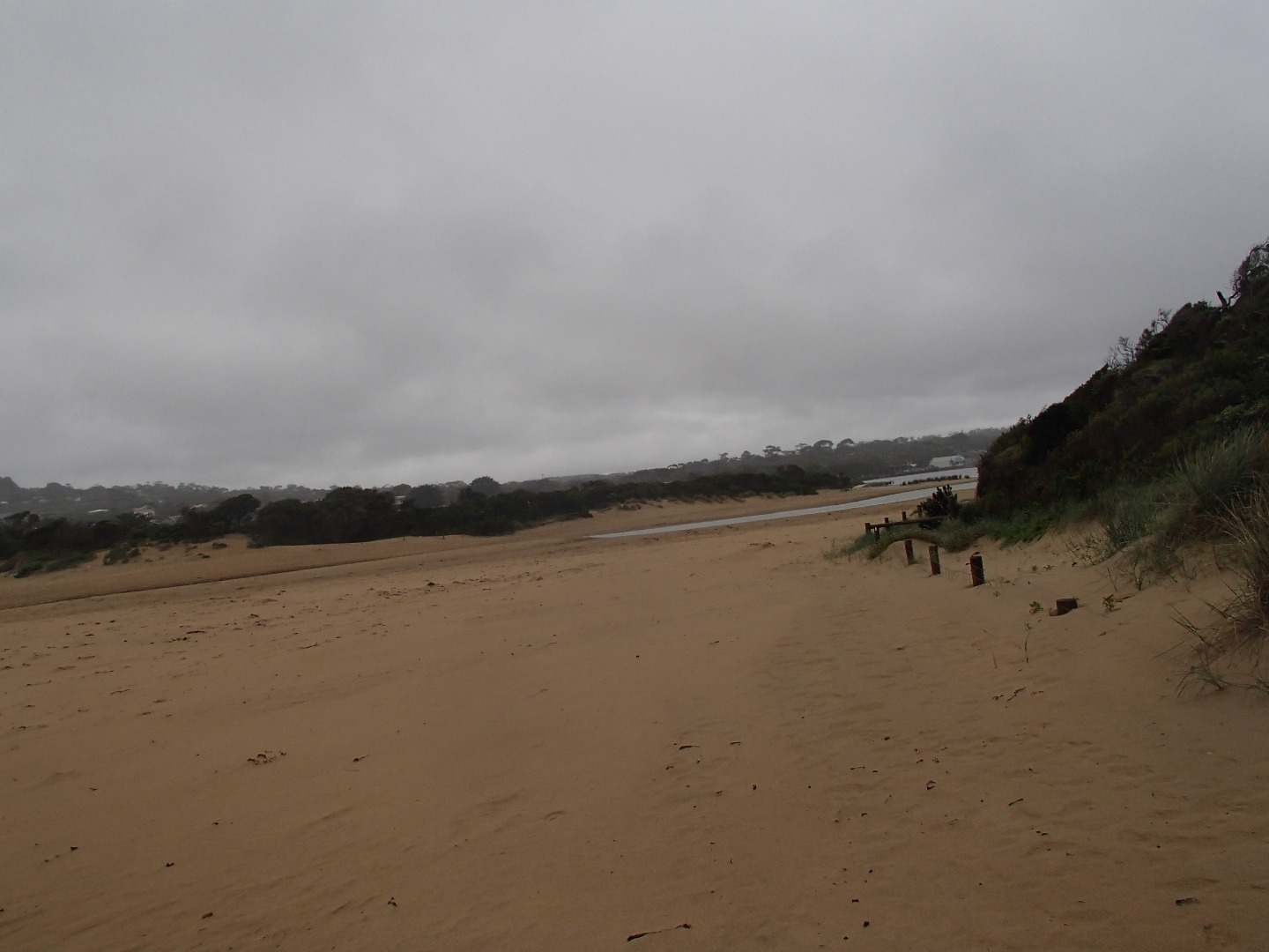
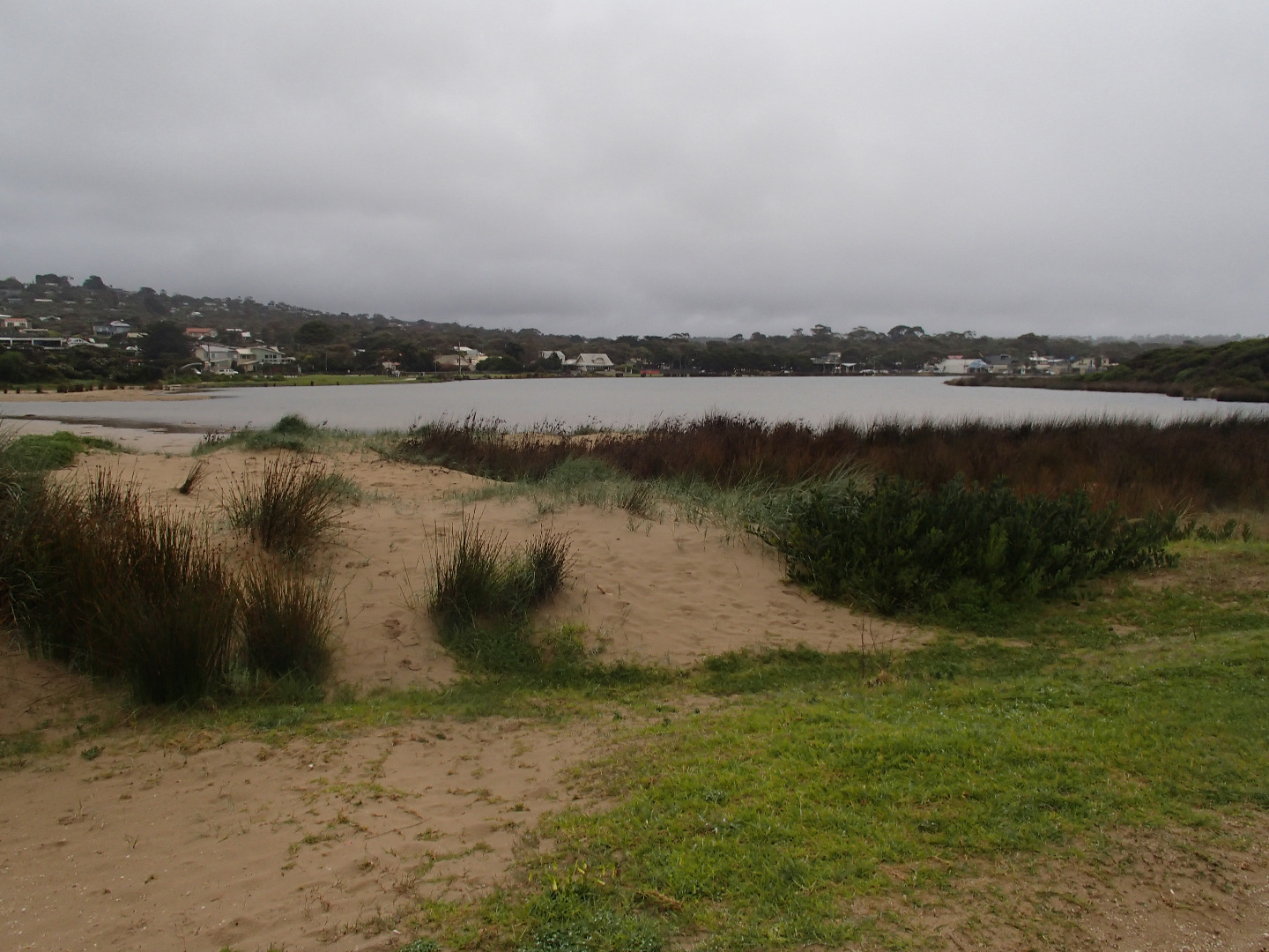
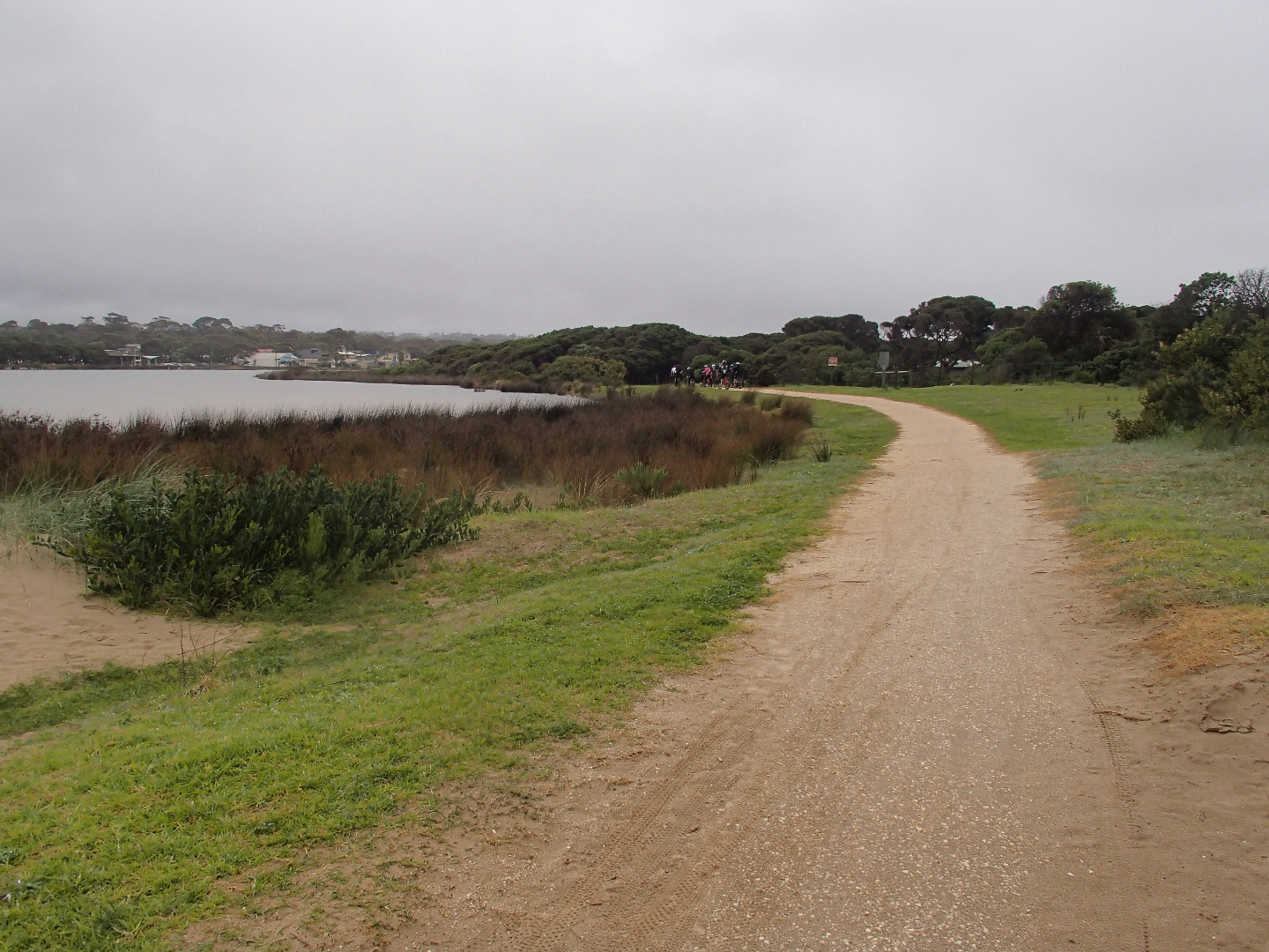
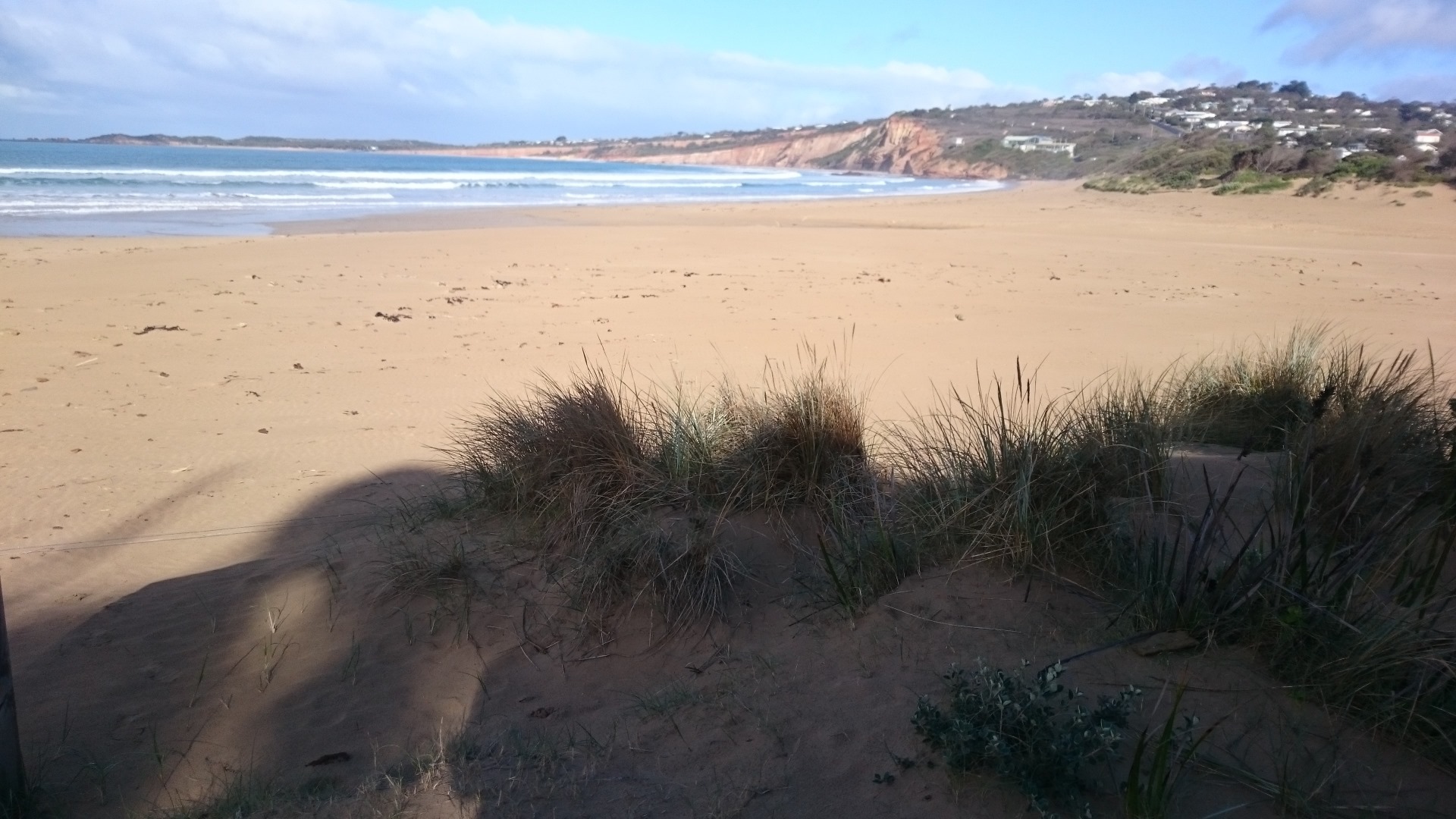
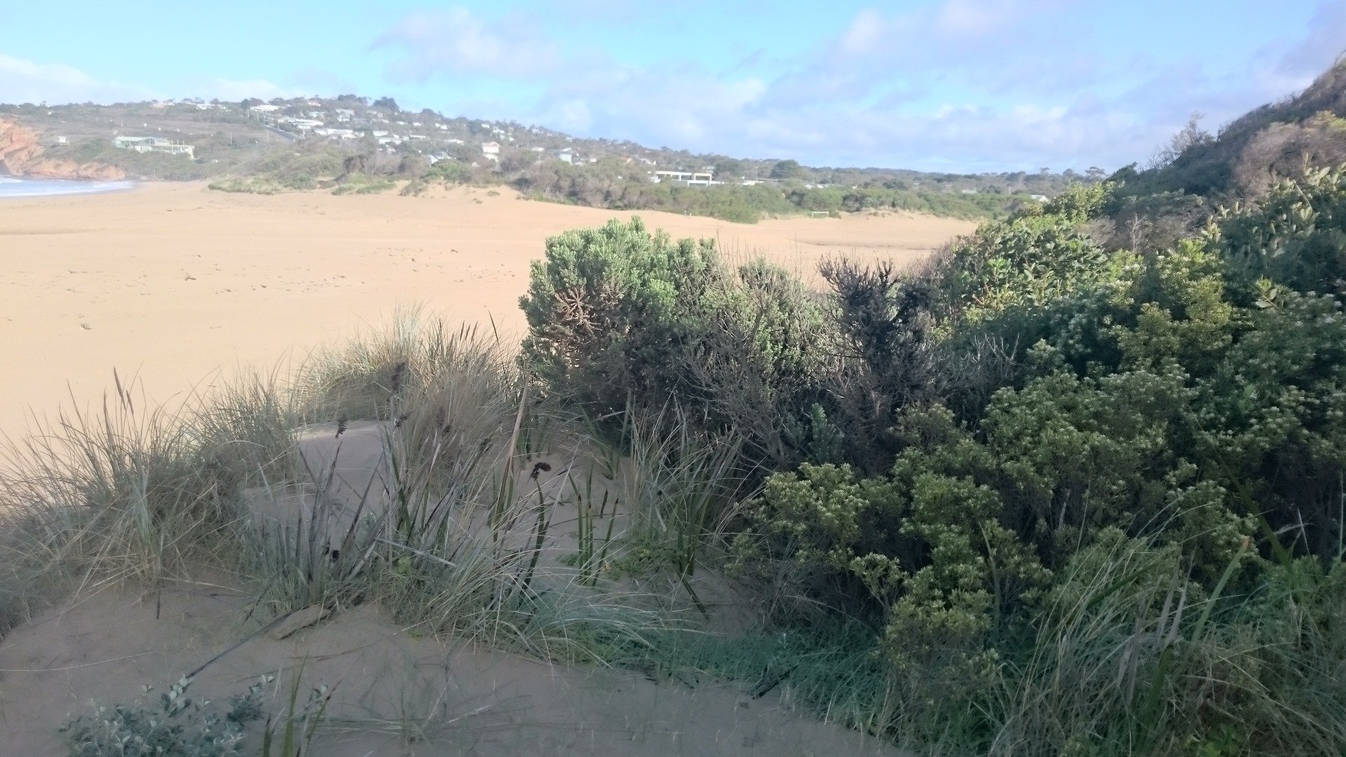
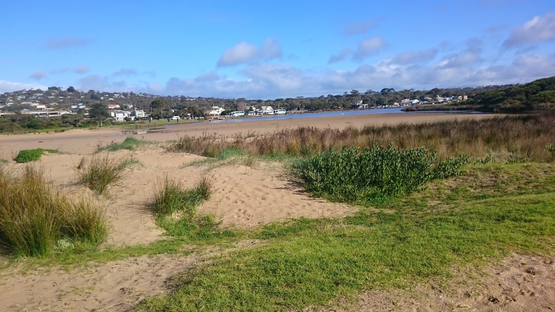
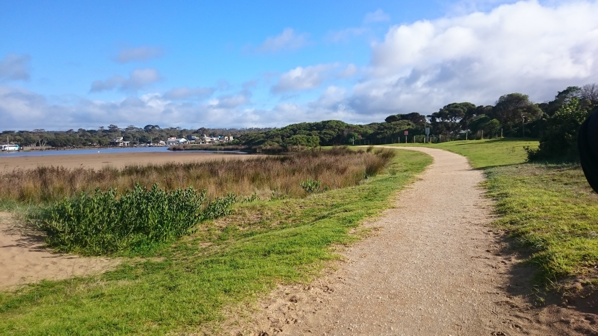
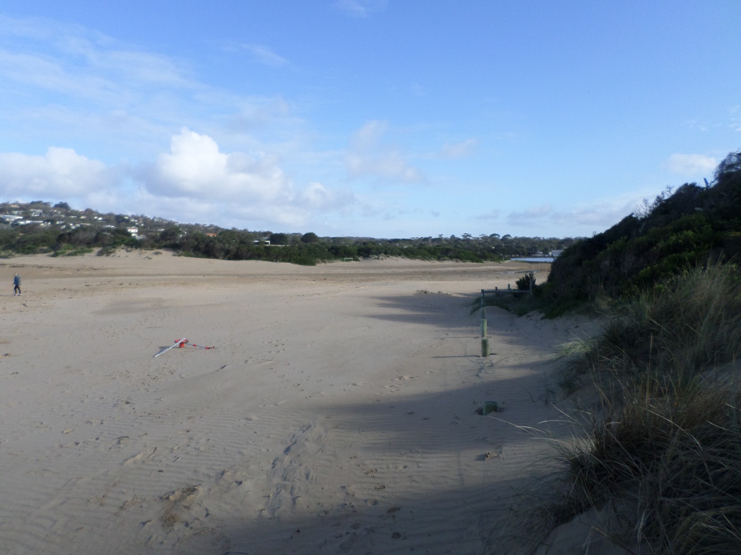
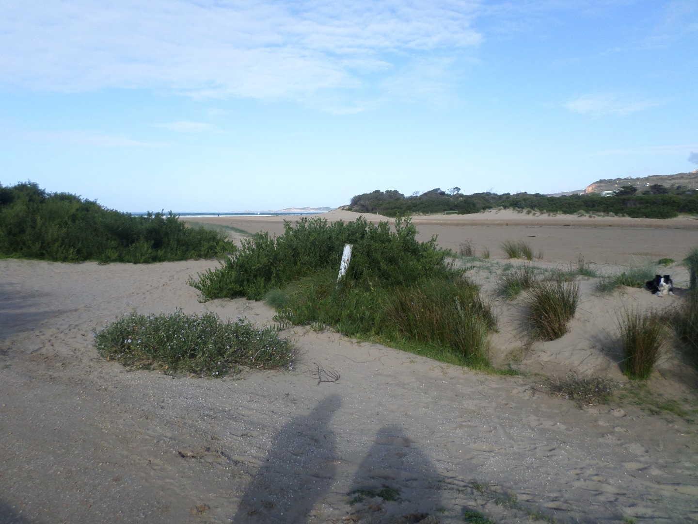
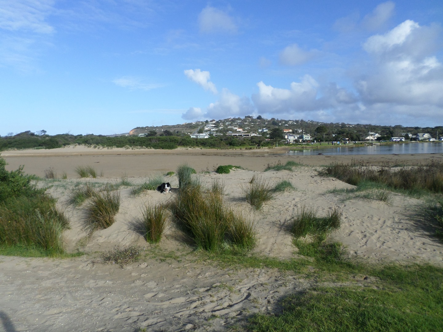
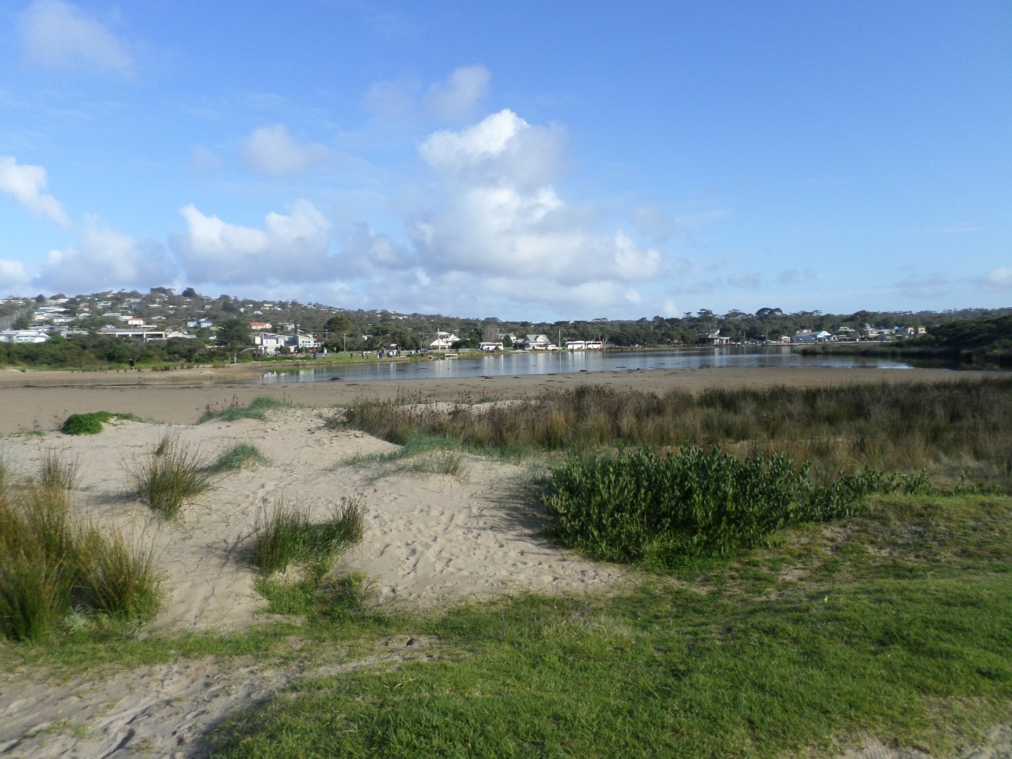
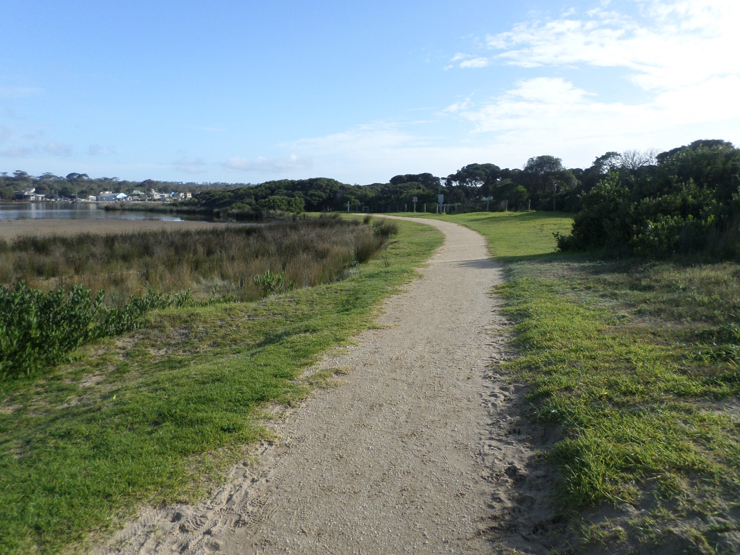
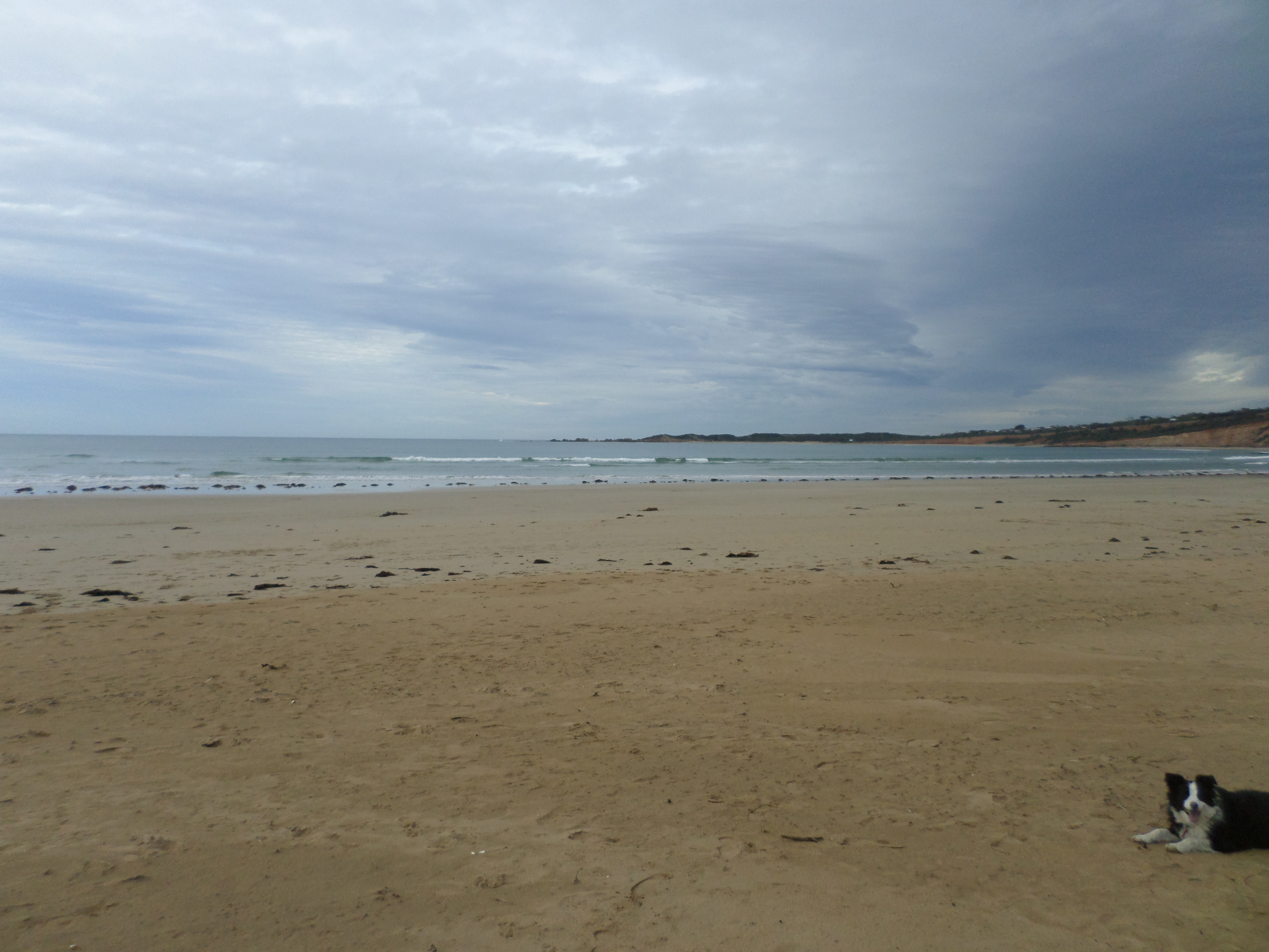
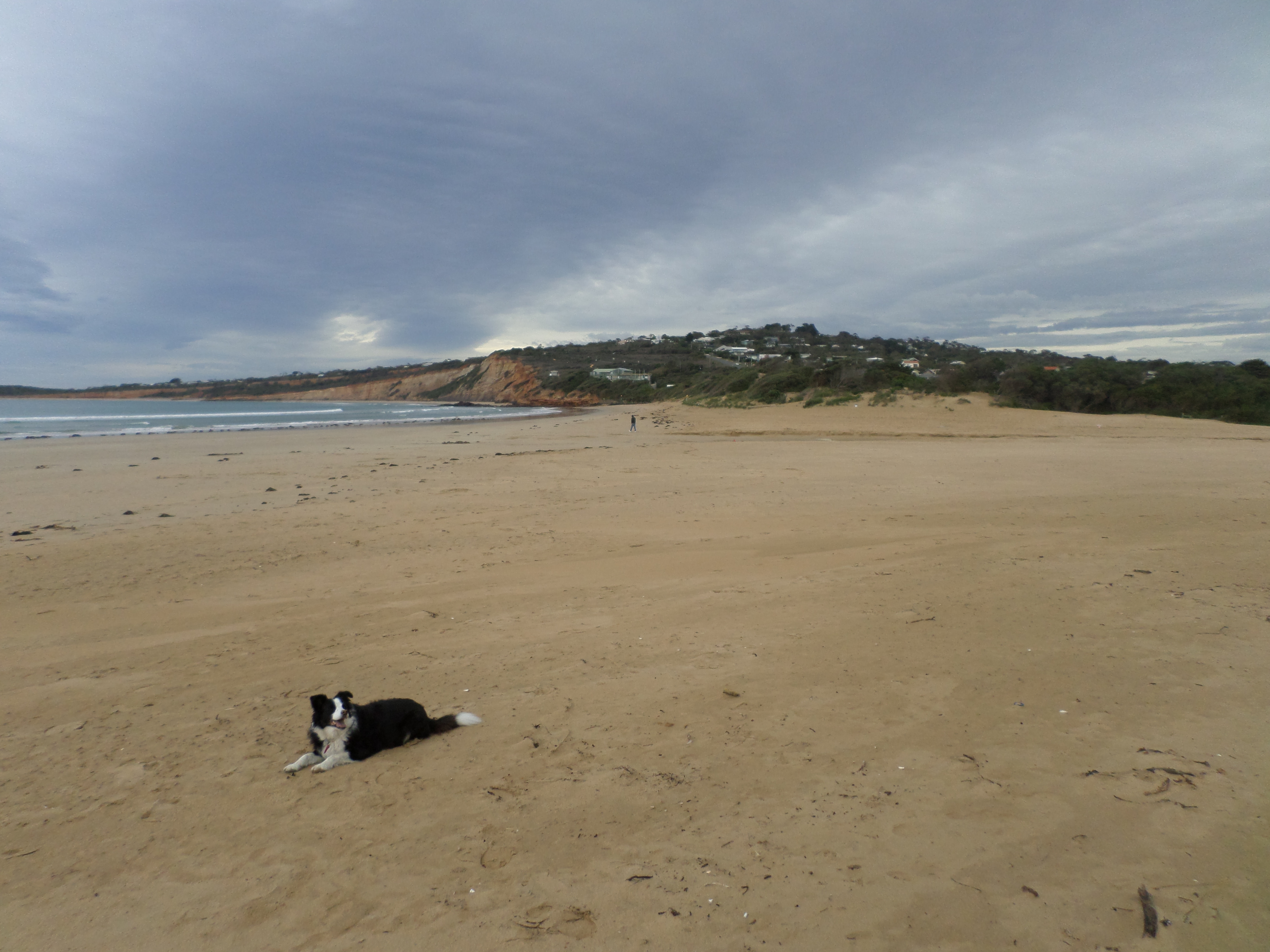
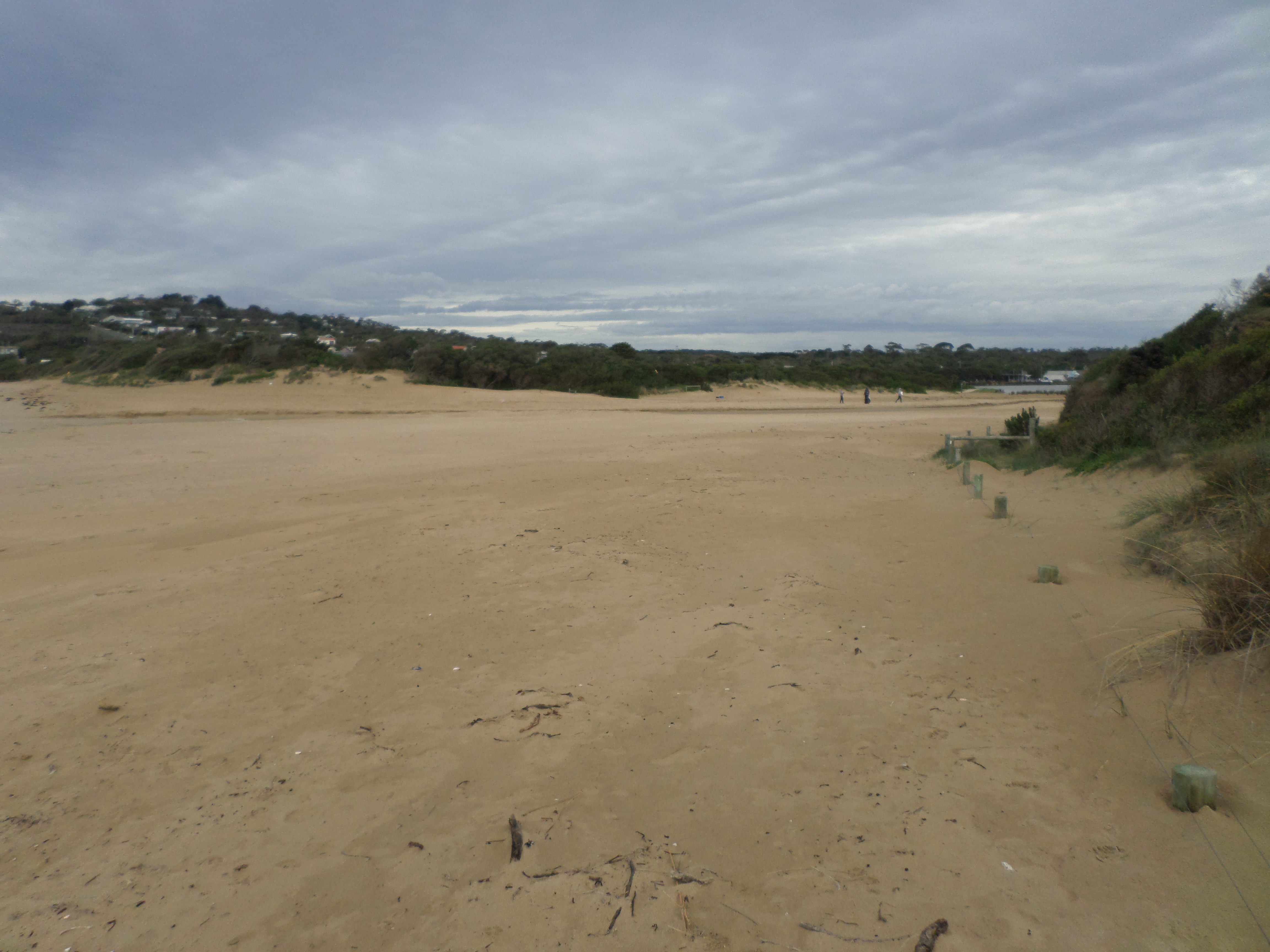
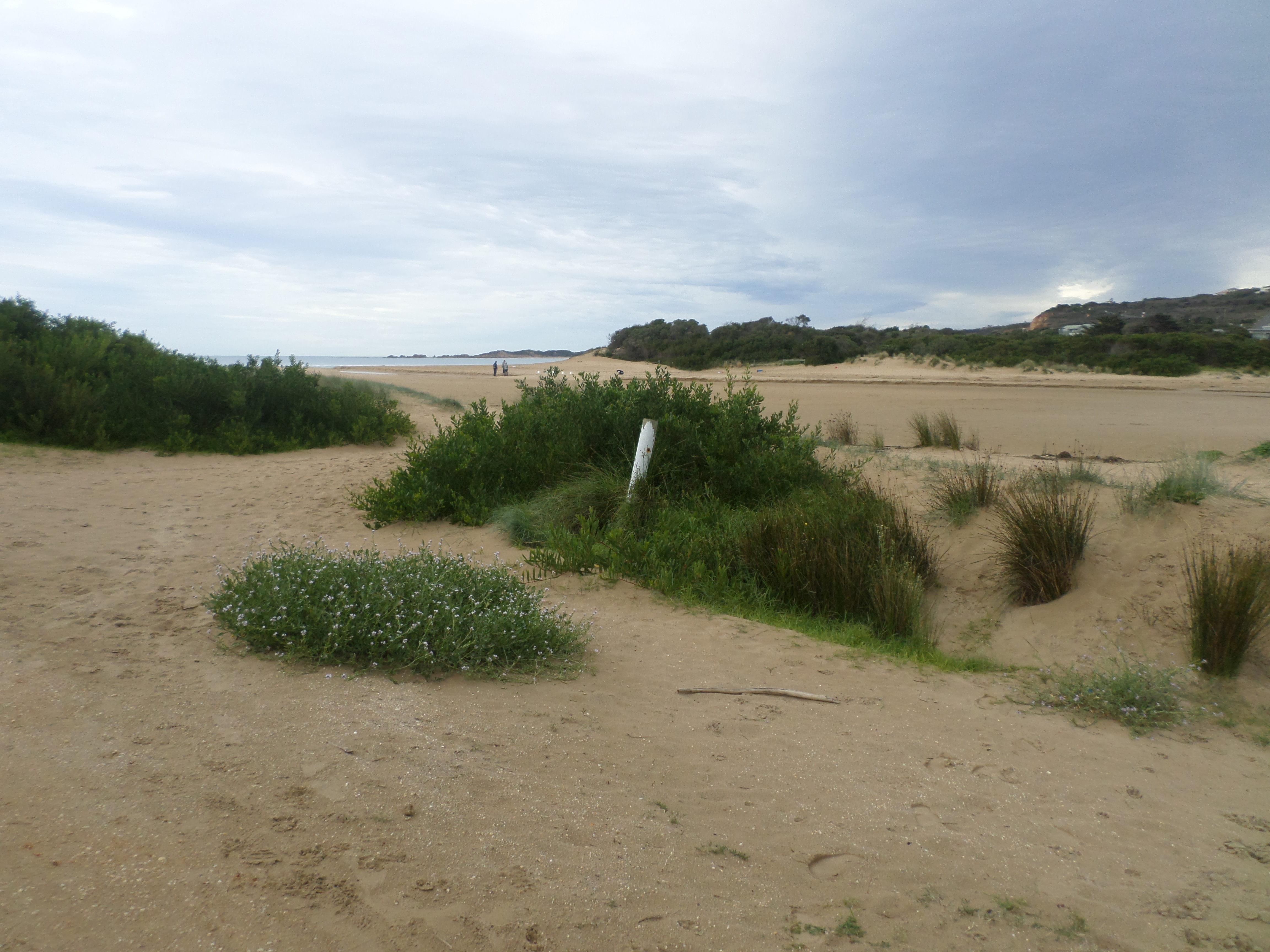
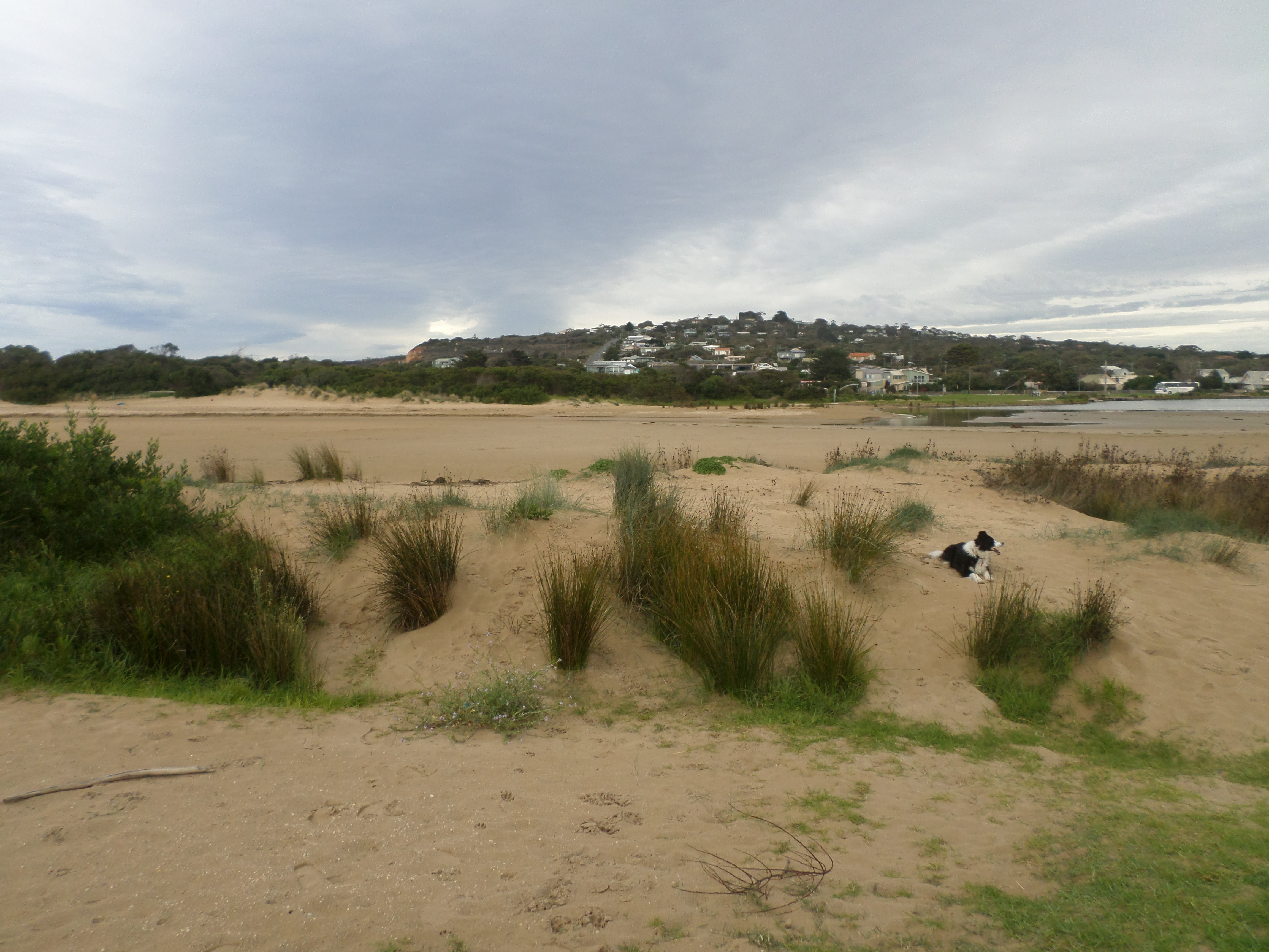
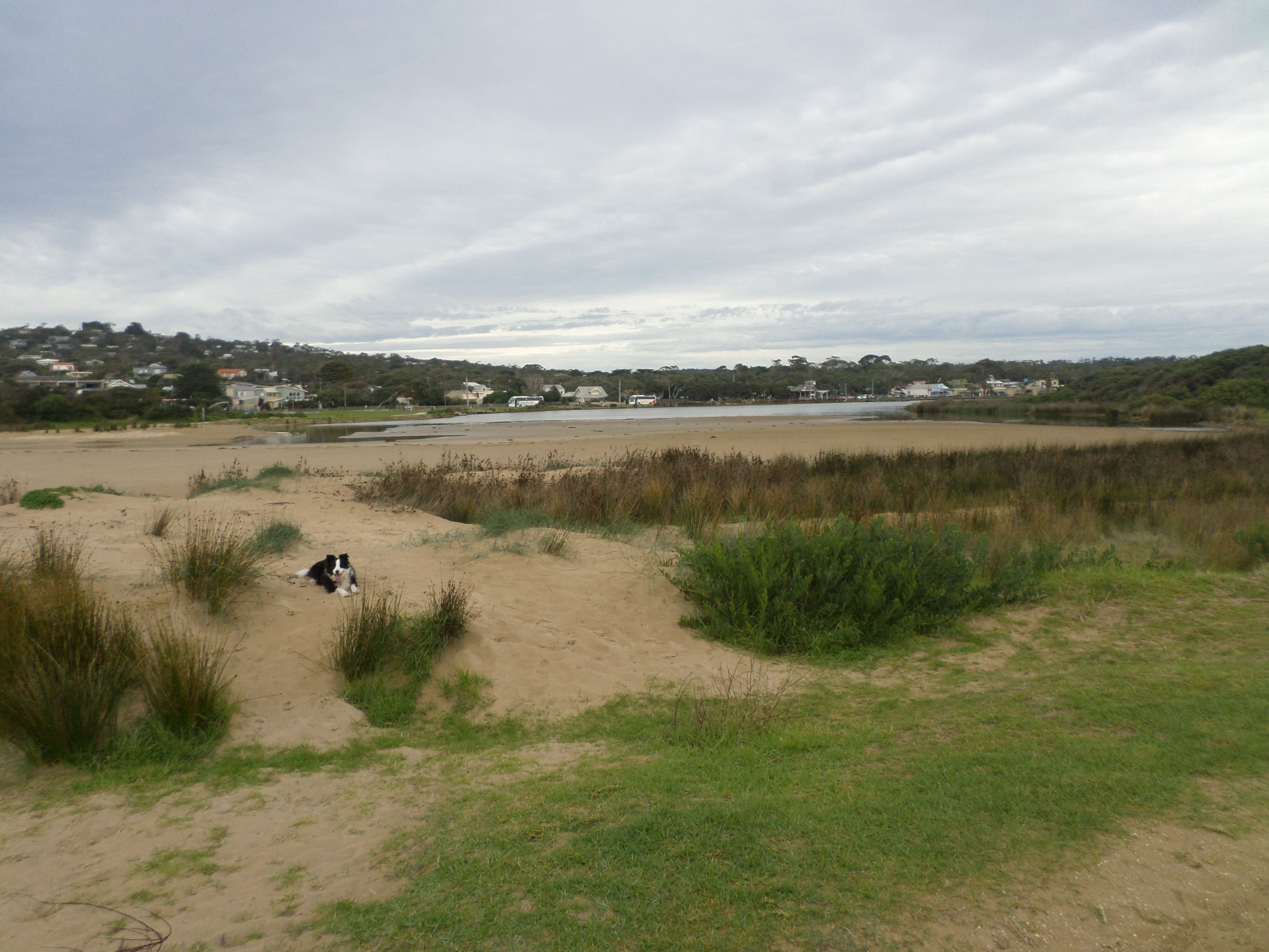
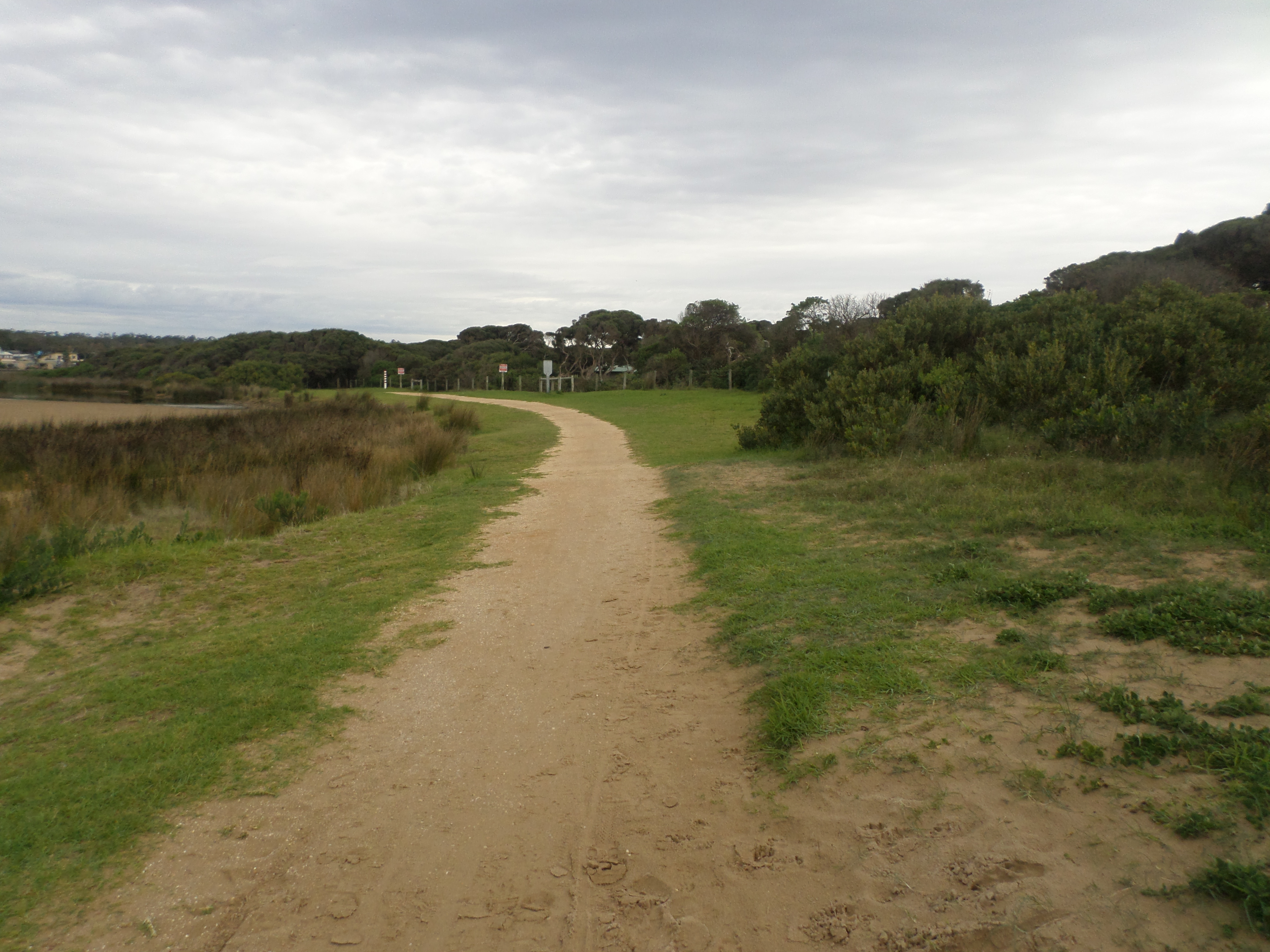
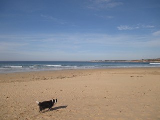
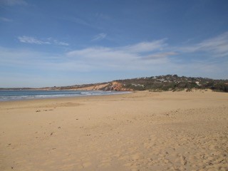
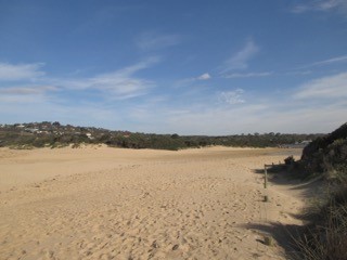
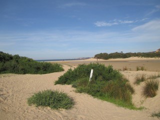
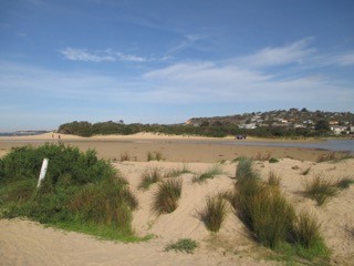
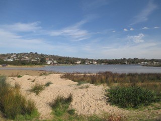
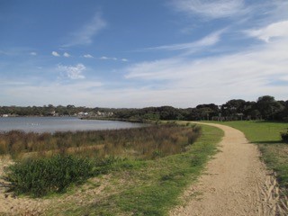
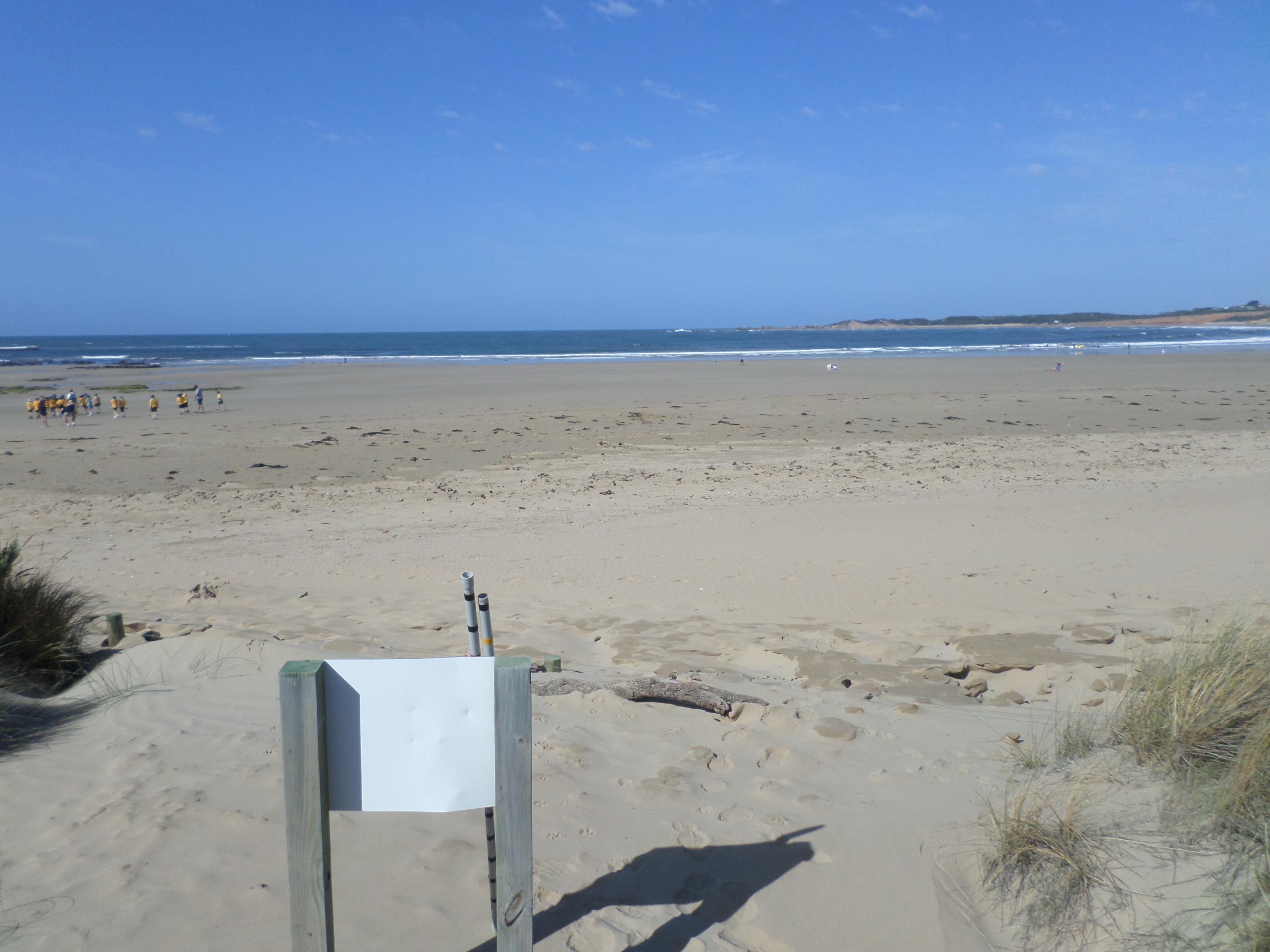
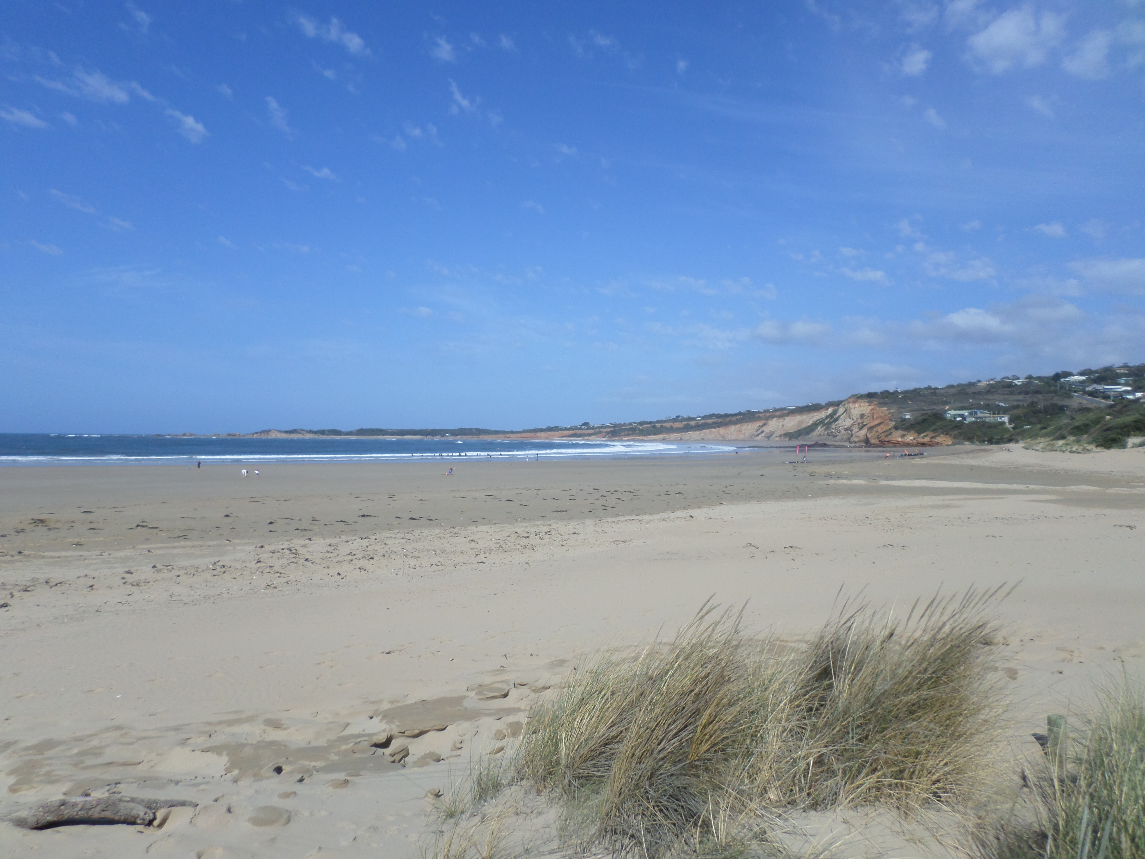
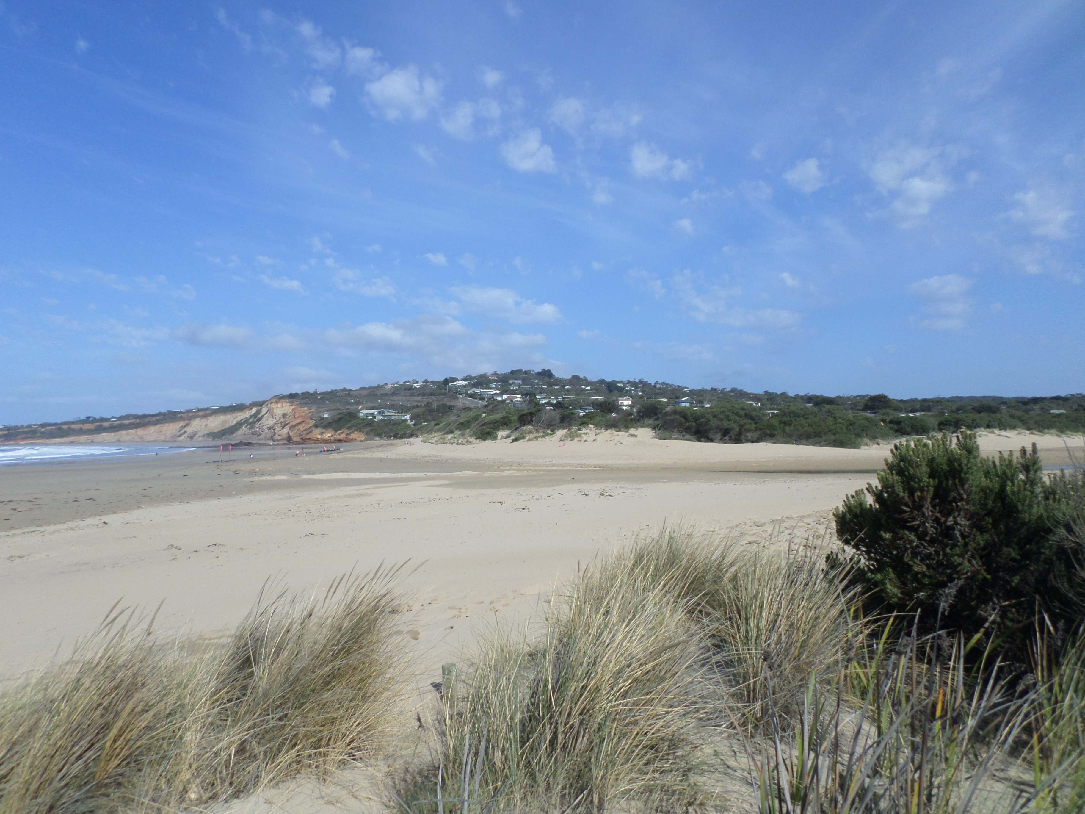
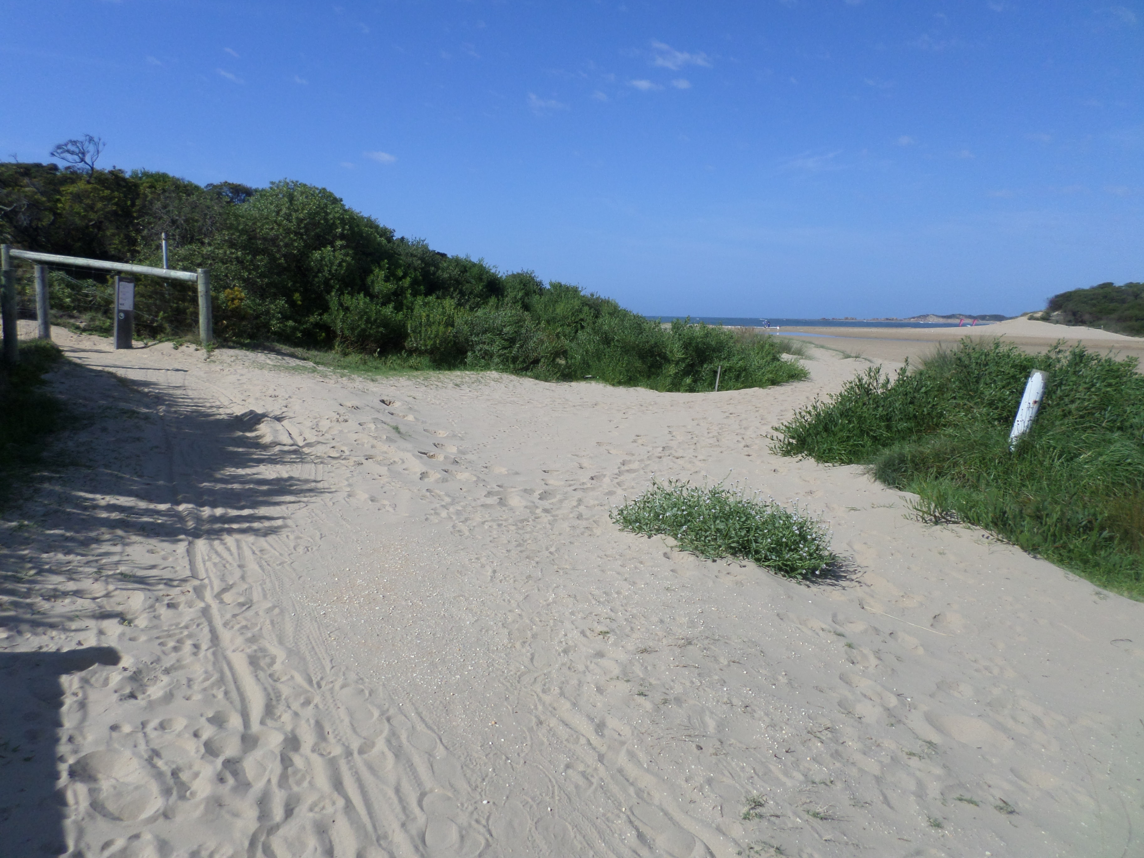
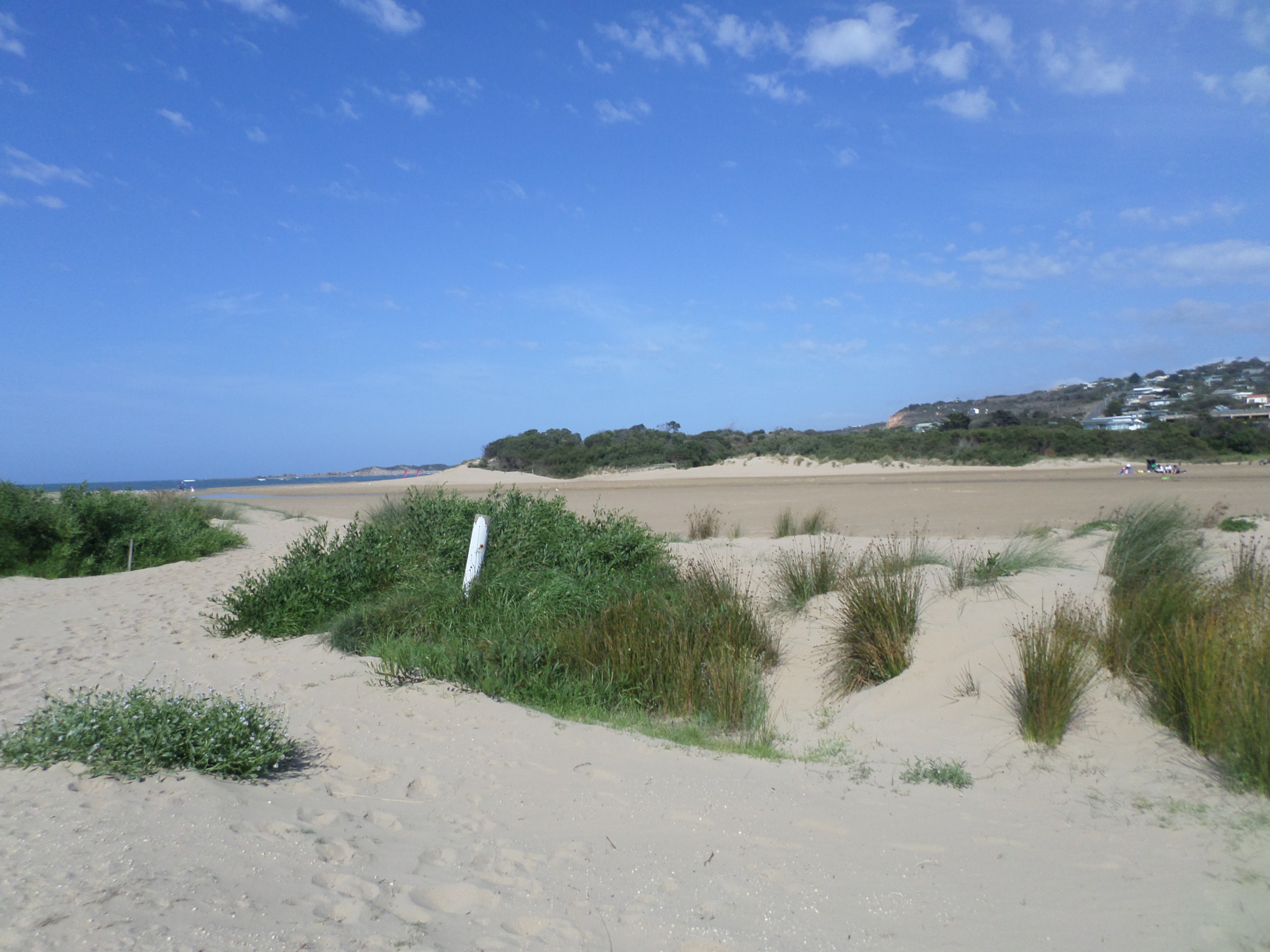
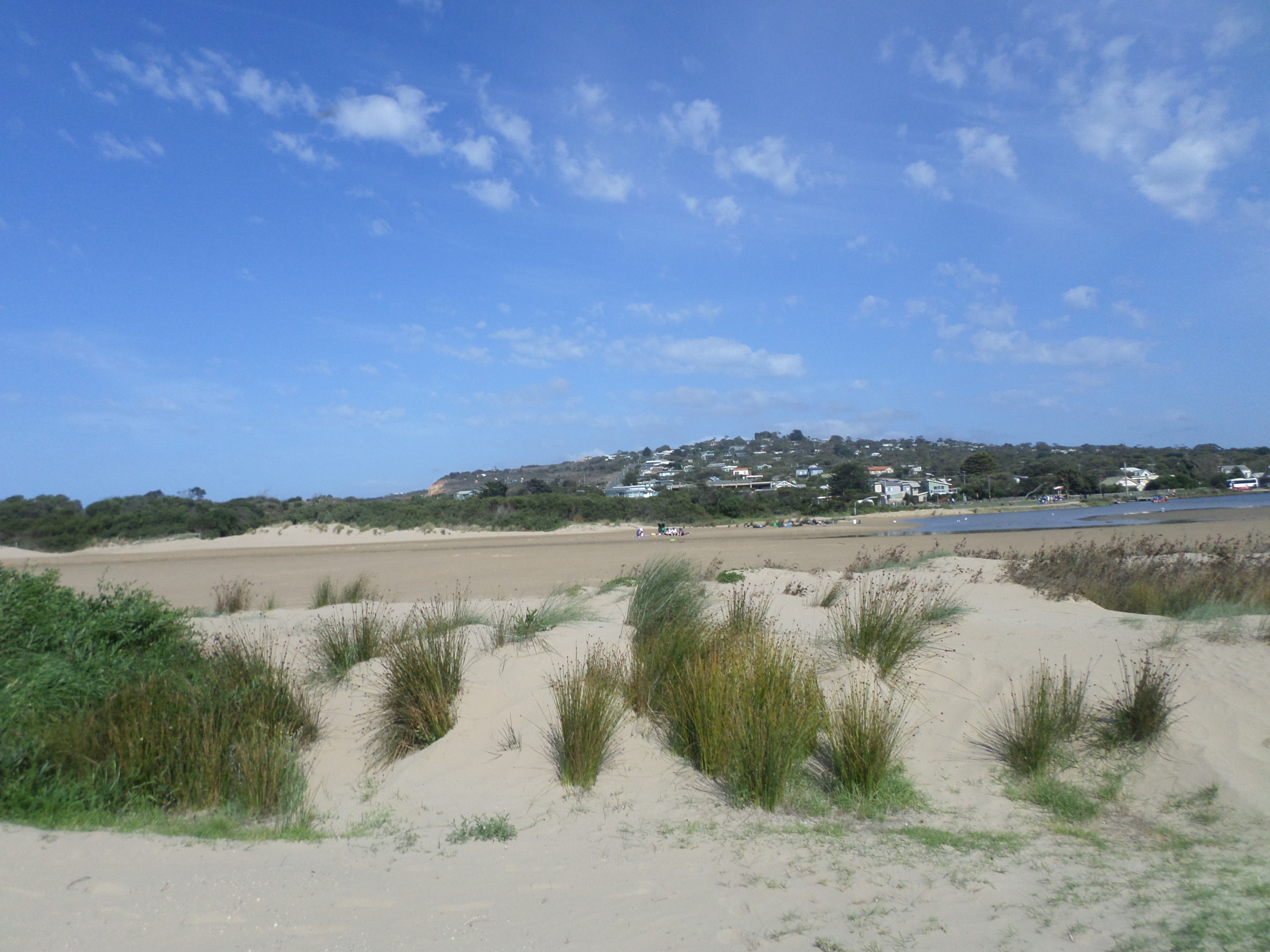
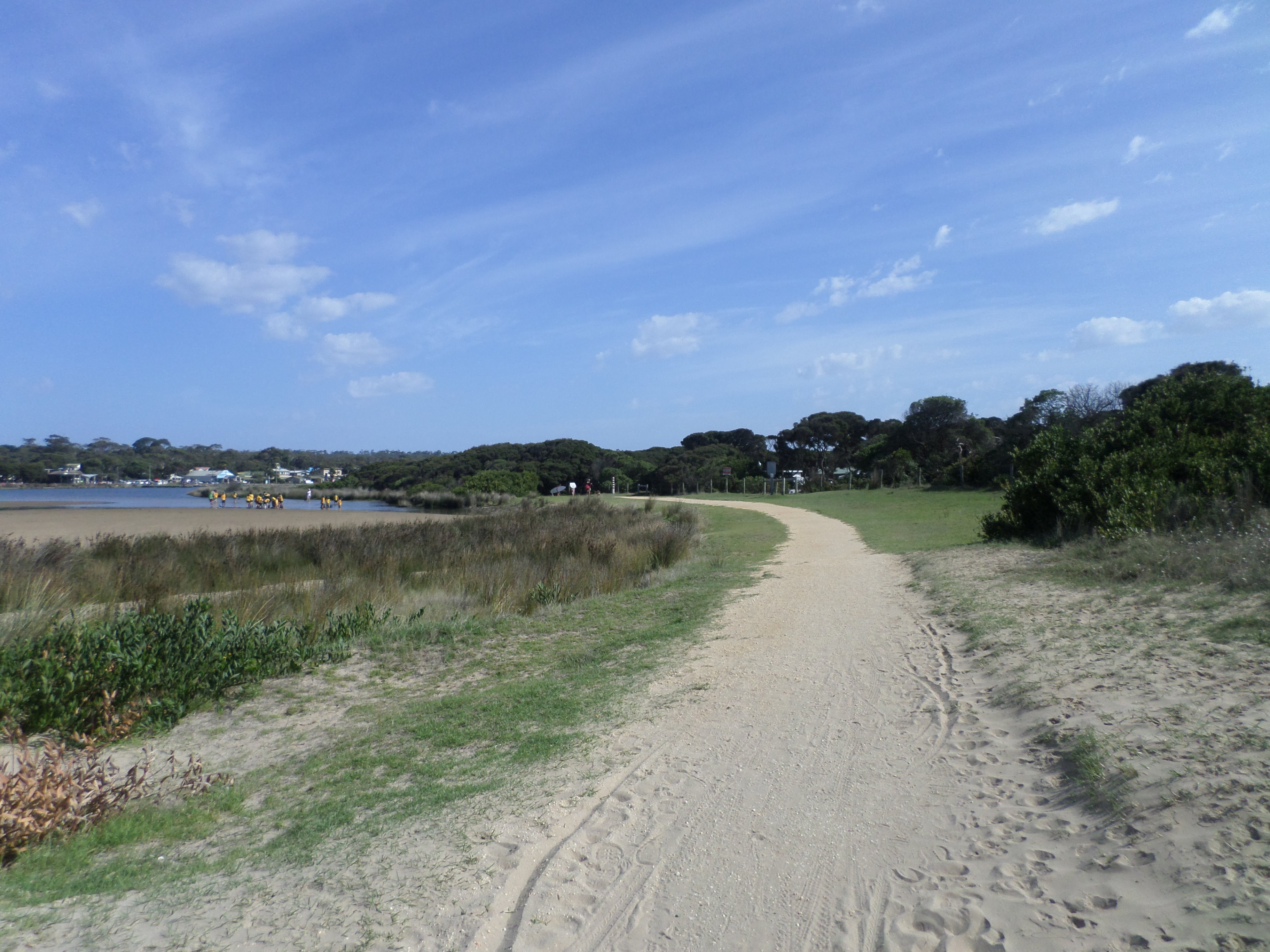
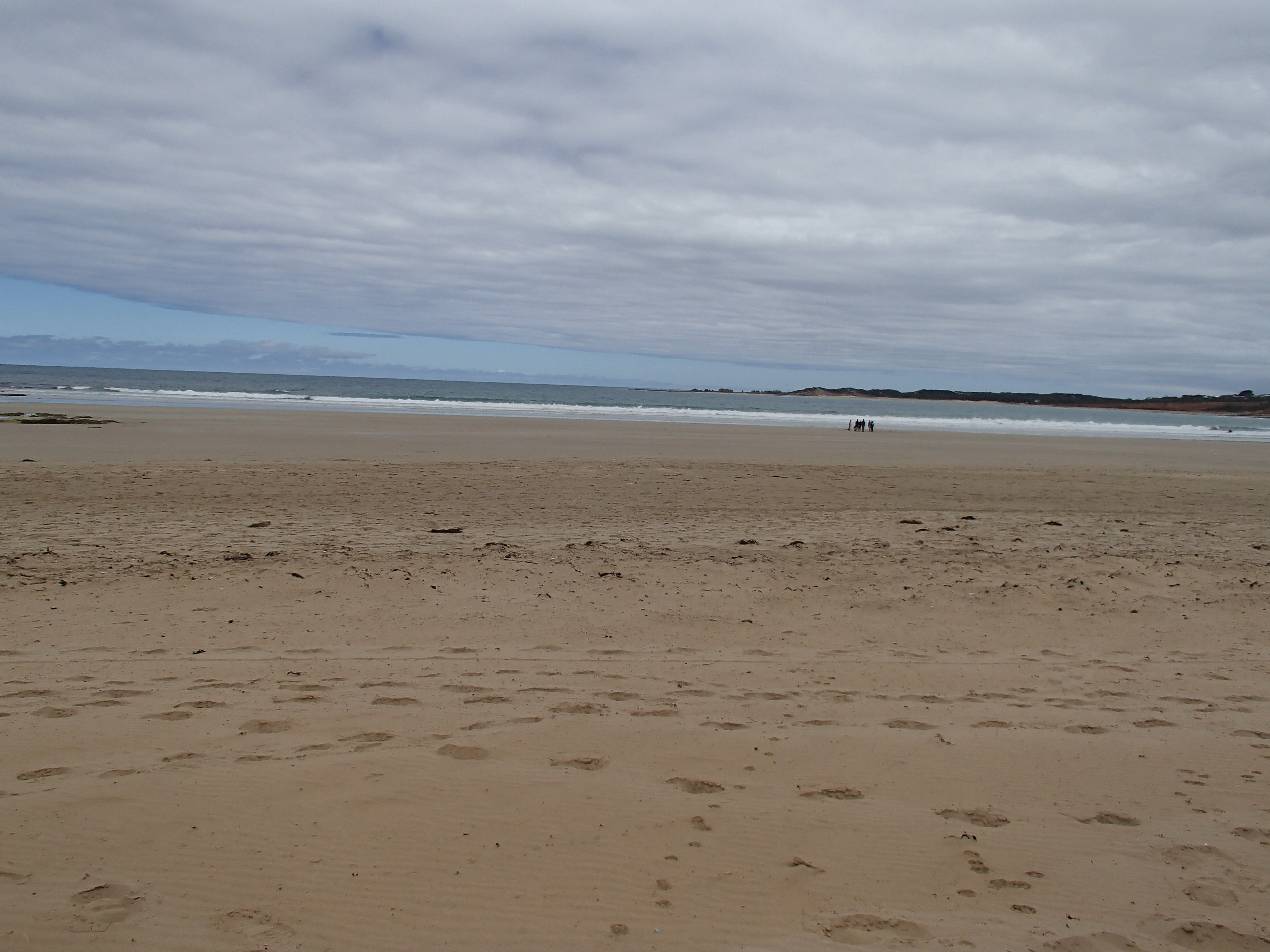
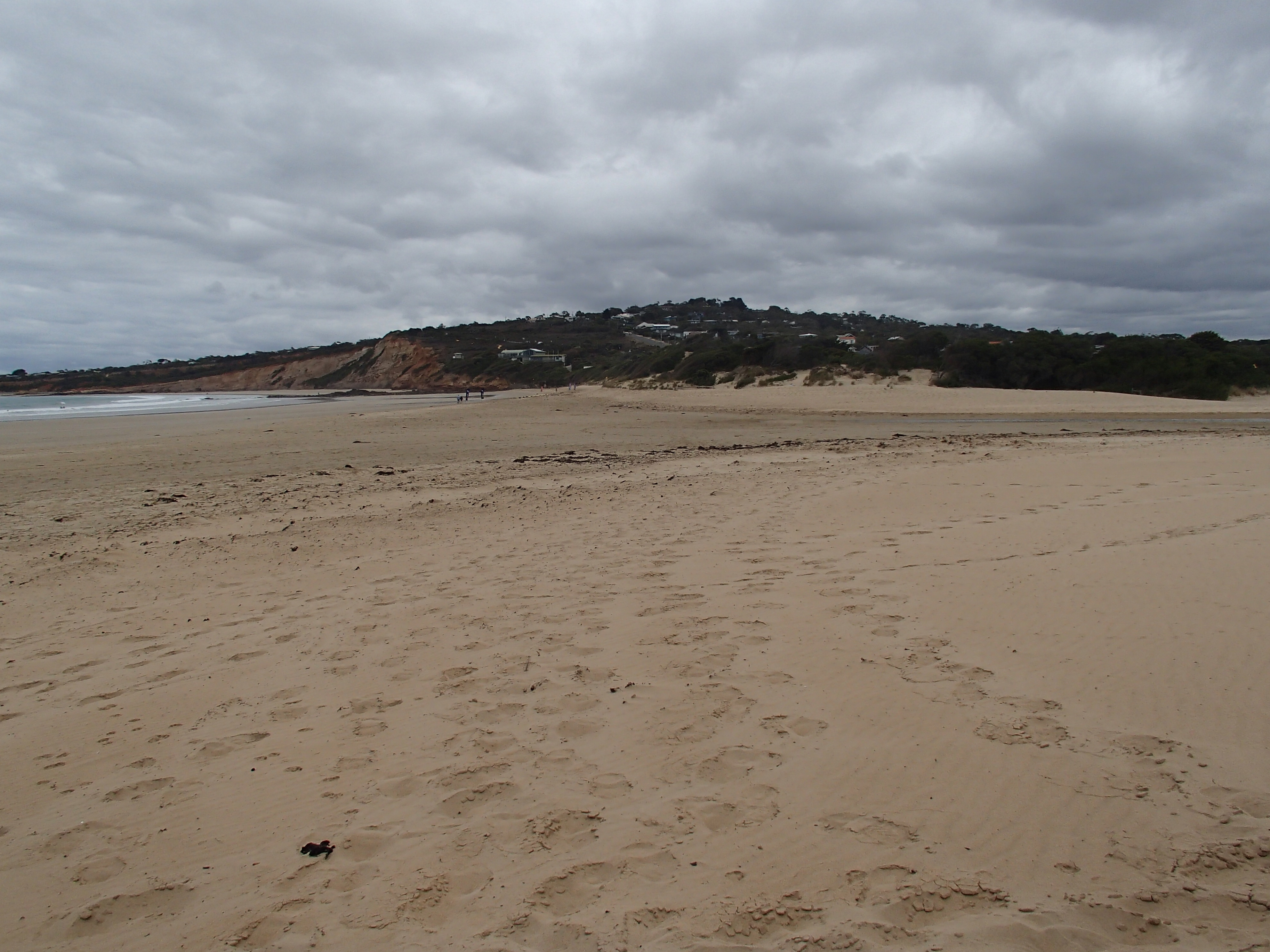
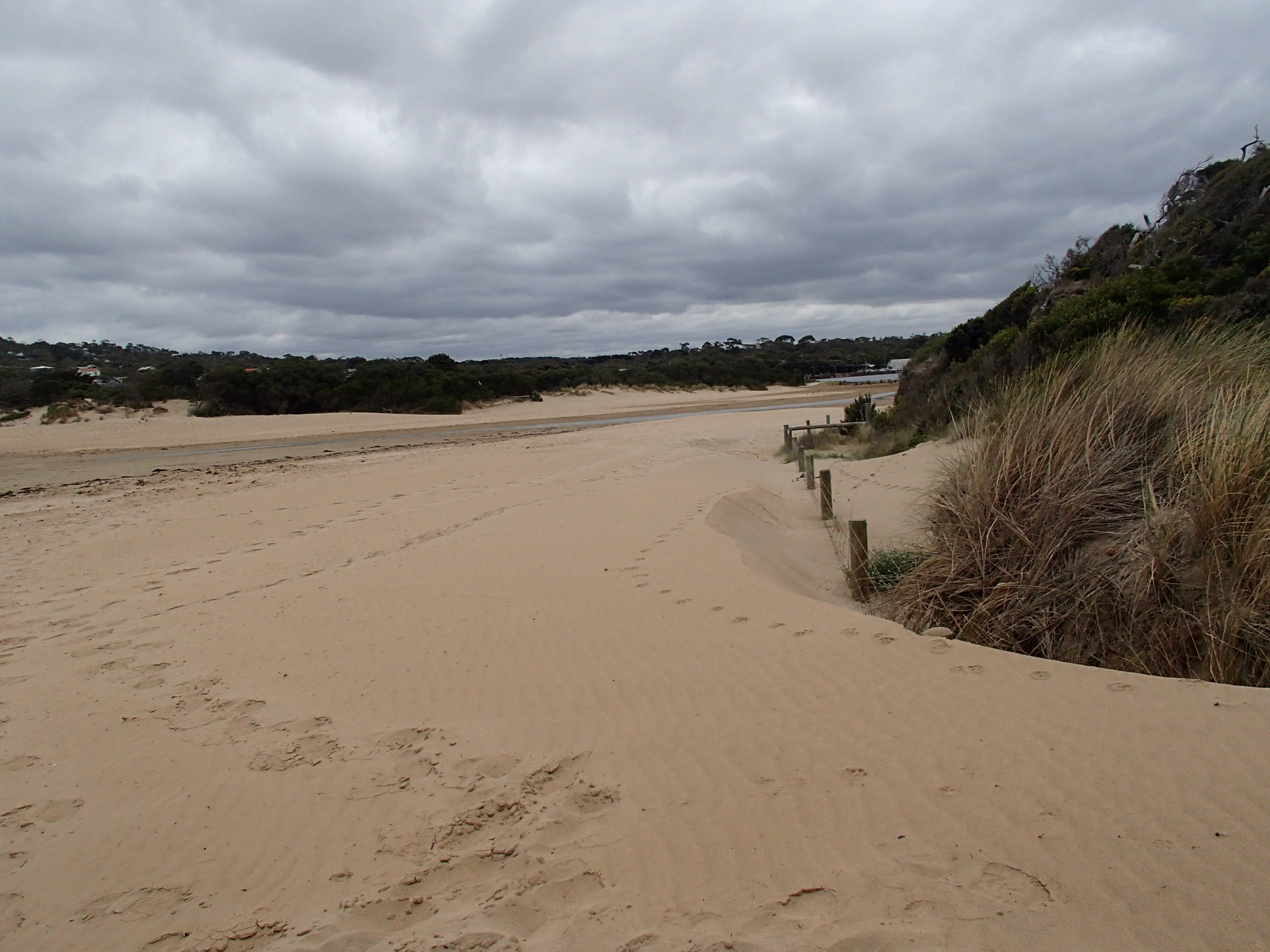
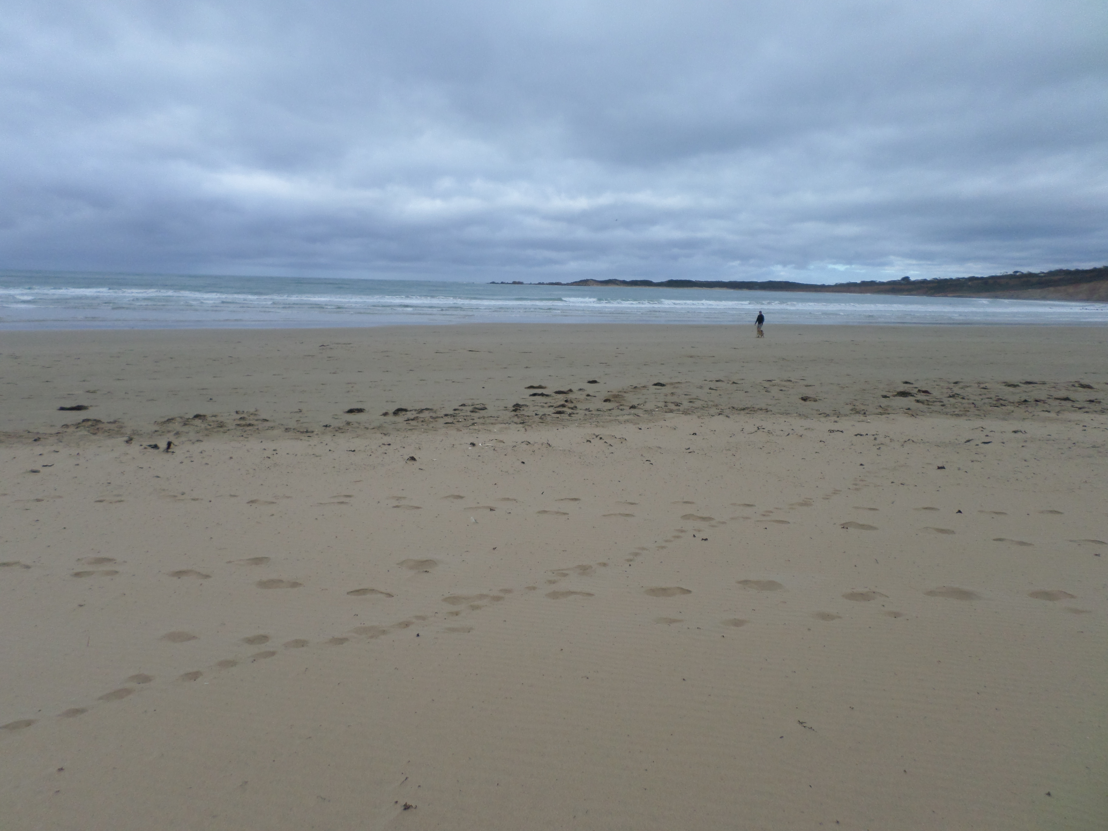
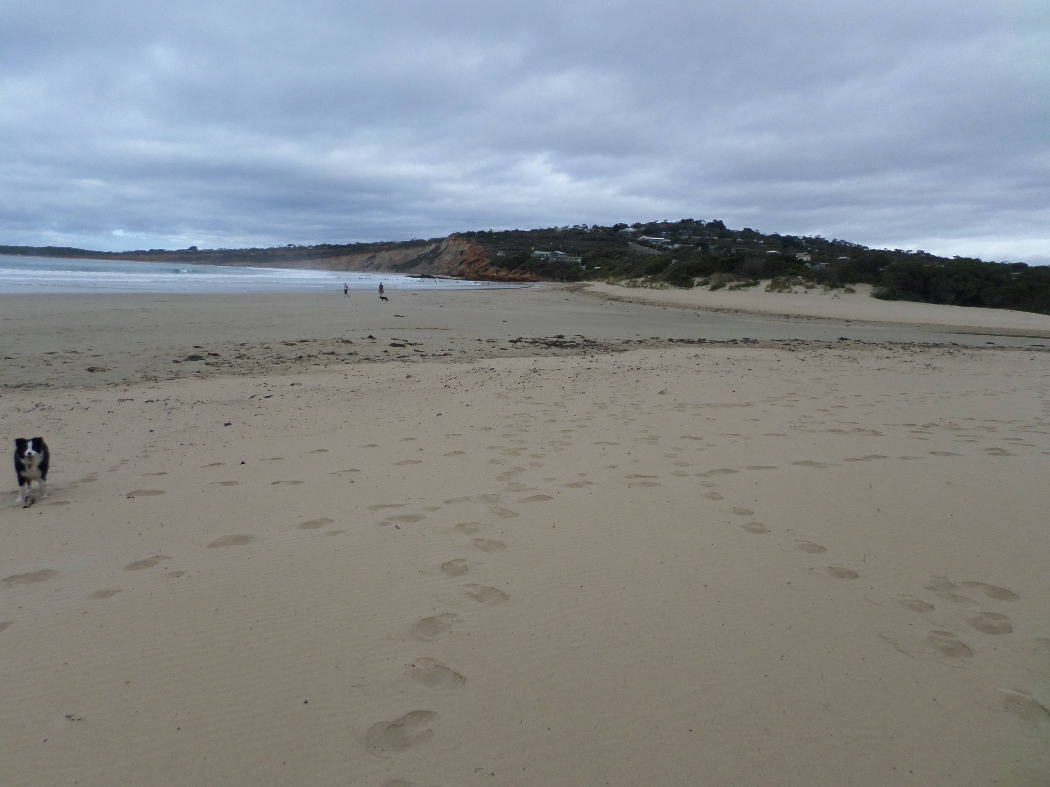
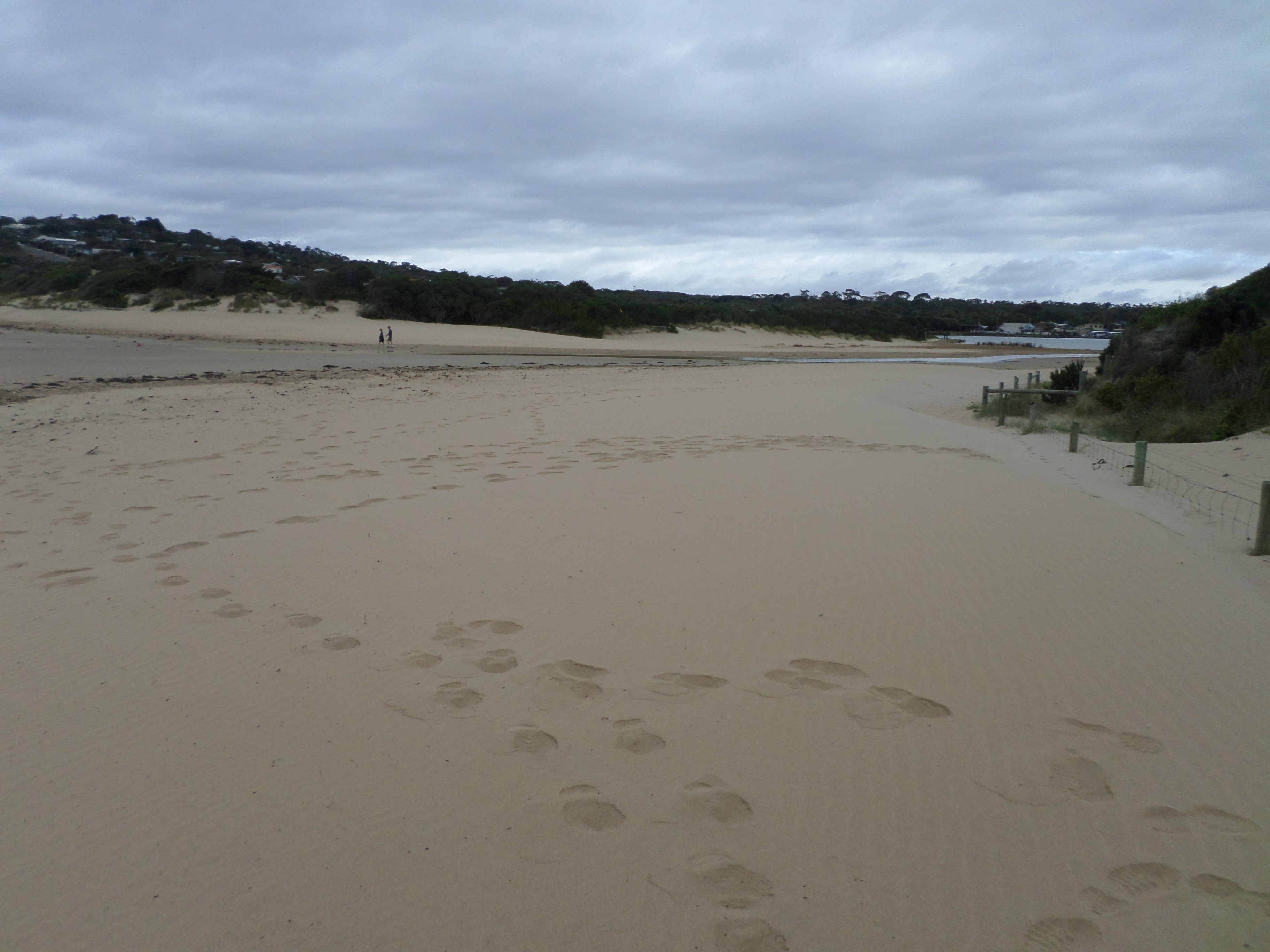
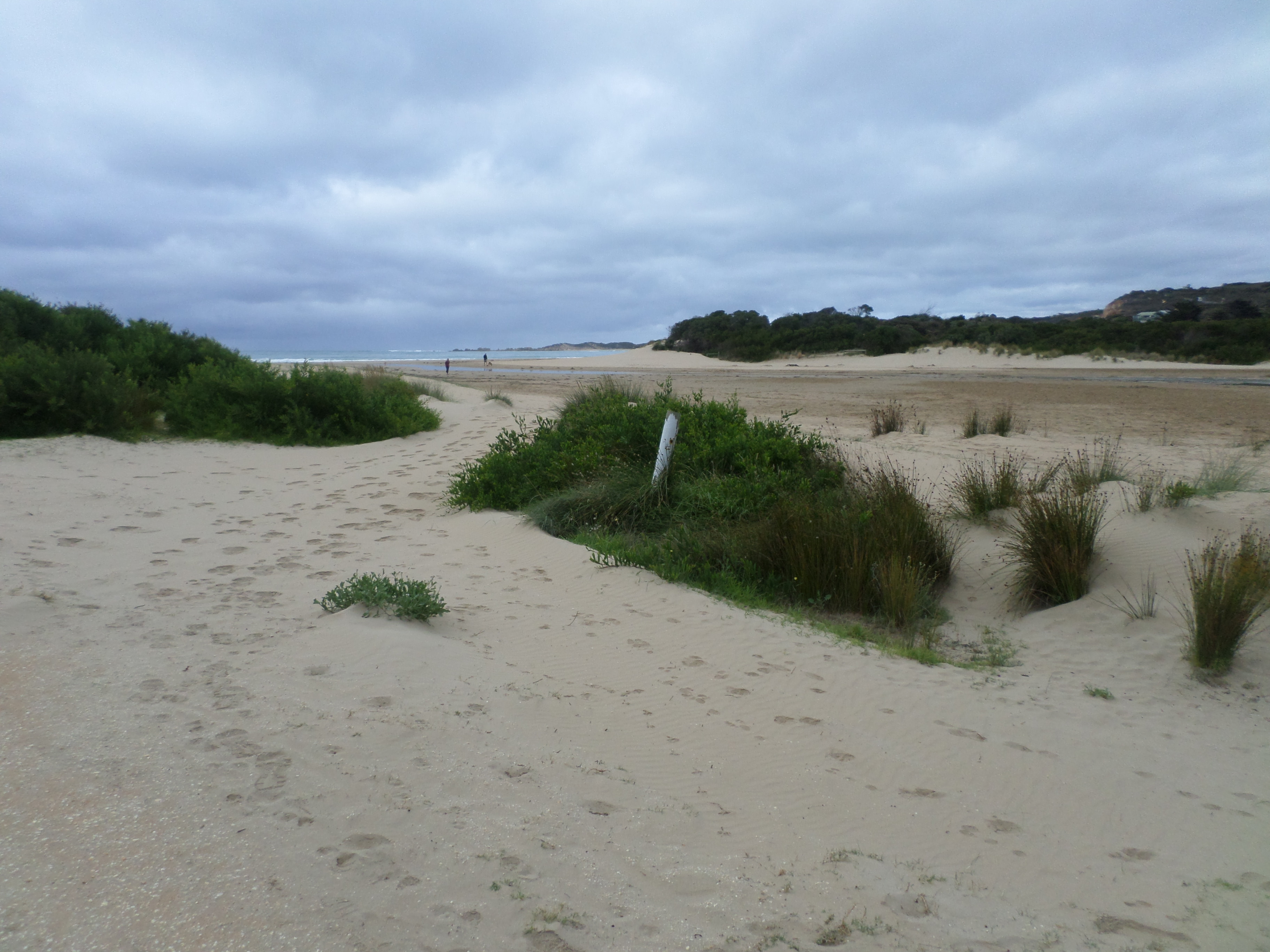
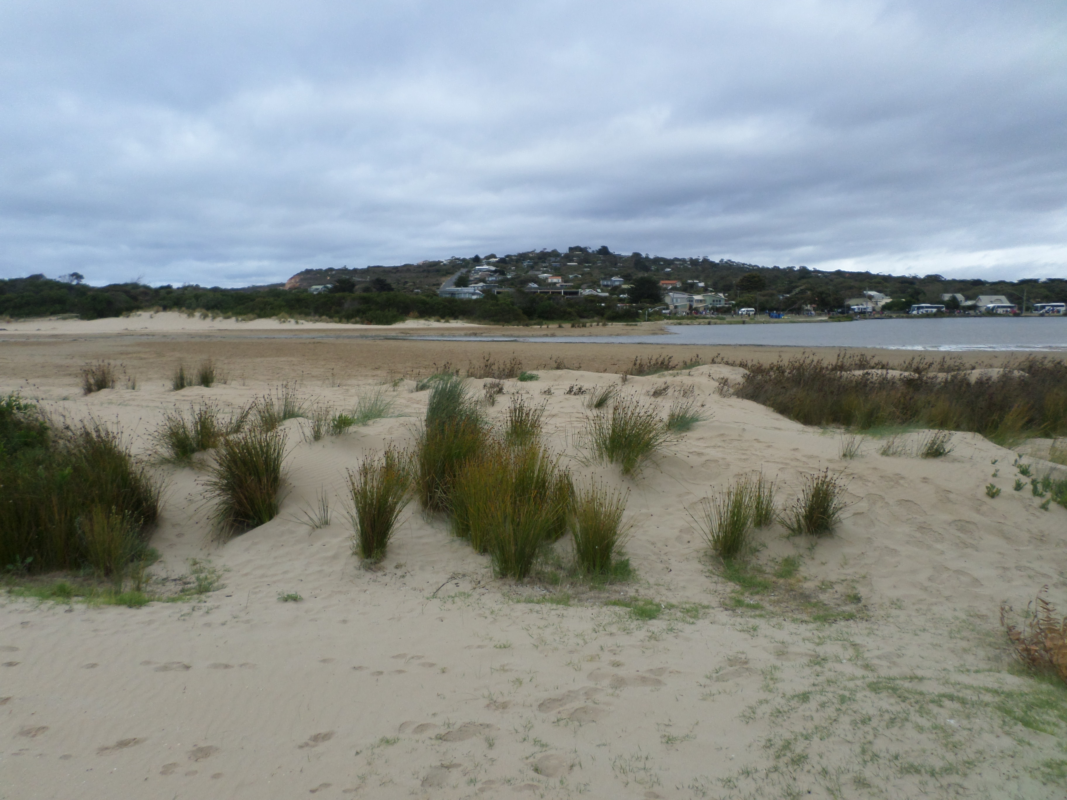
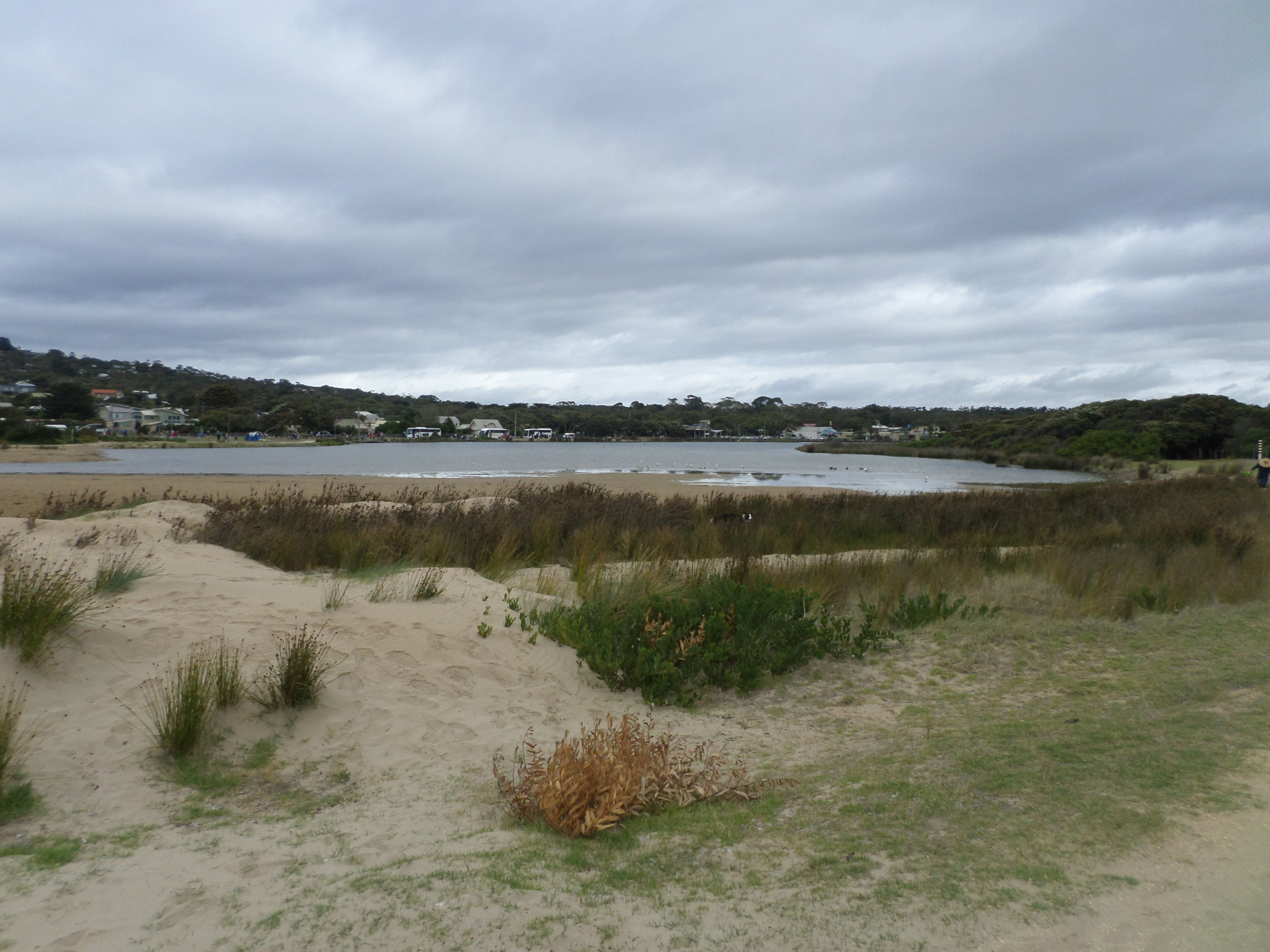
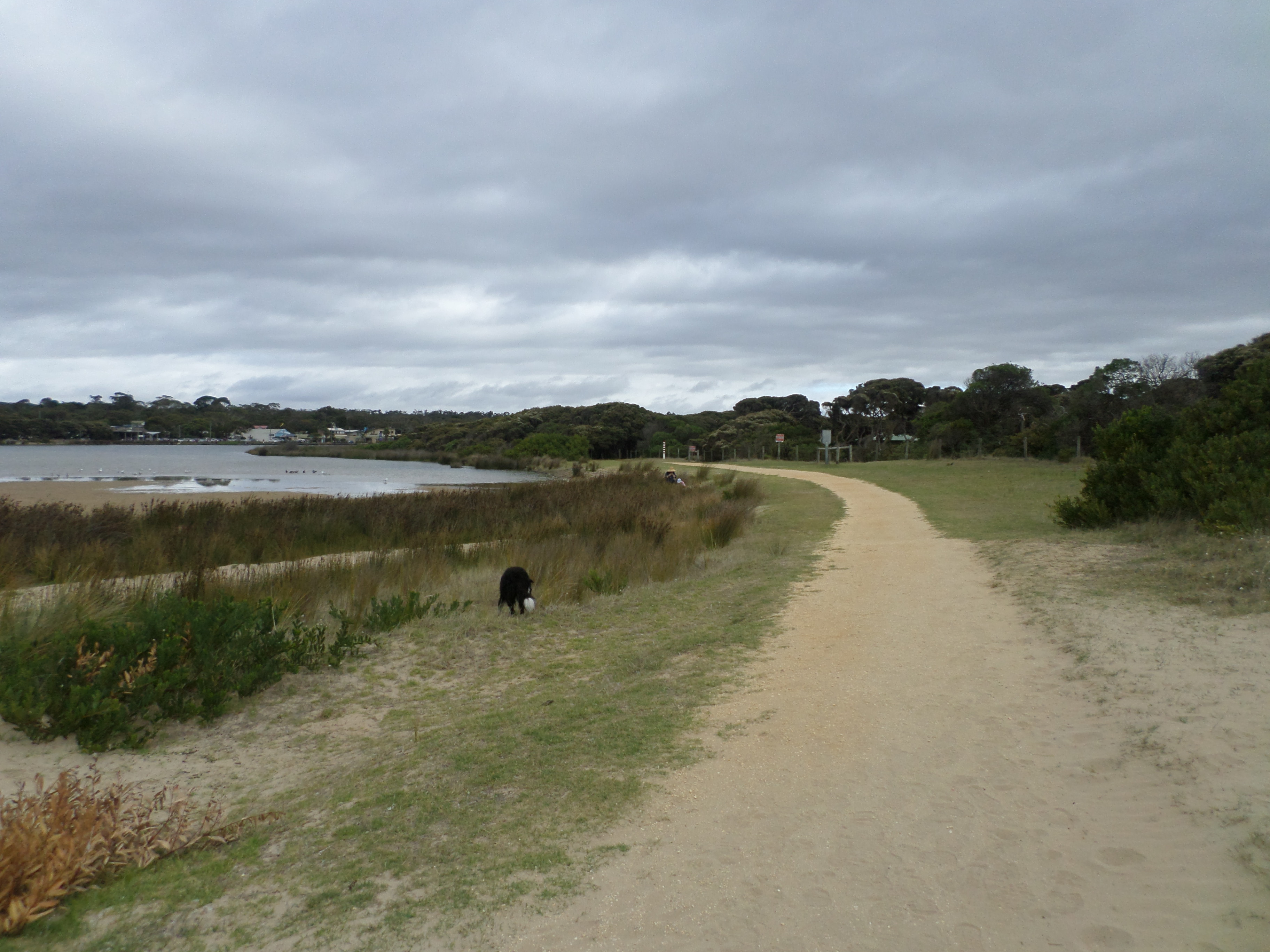
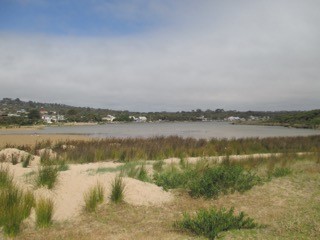
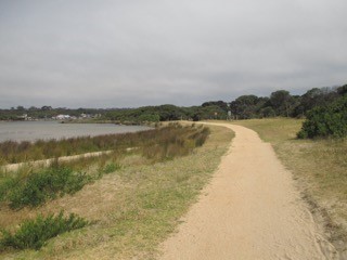
AMC Anglesea River Estuary Mouth Observation Site
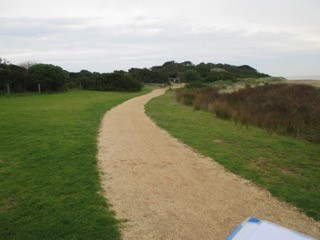
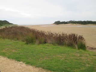
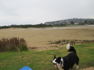
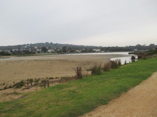
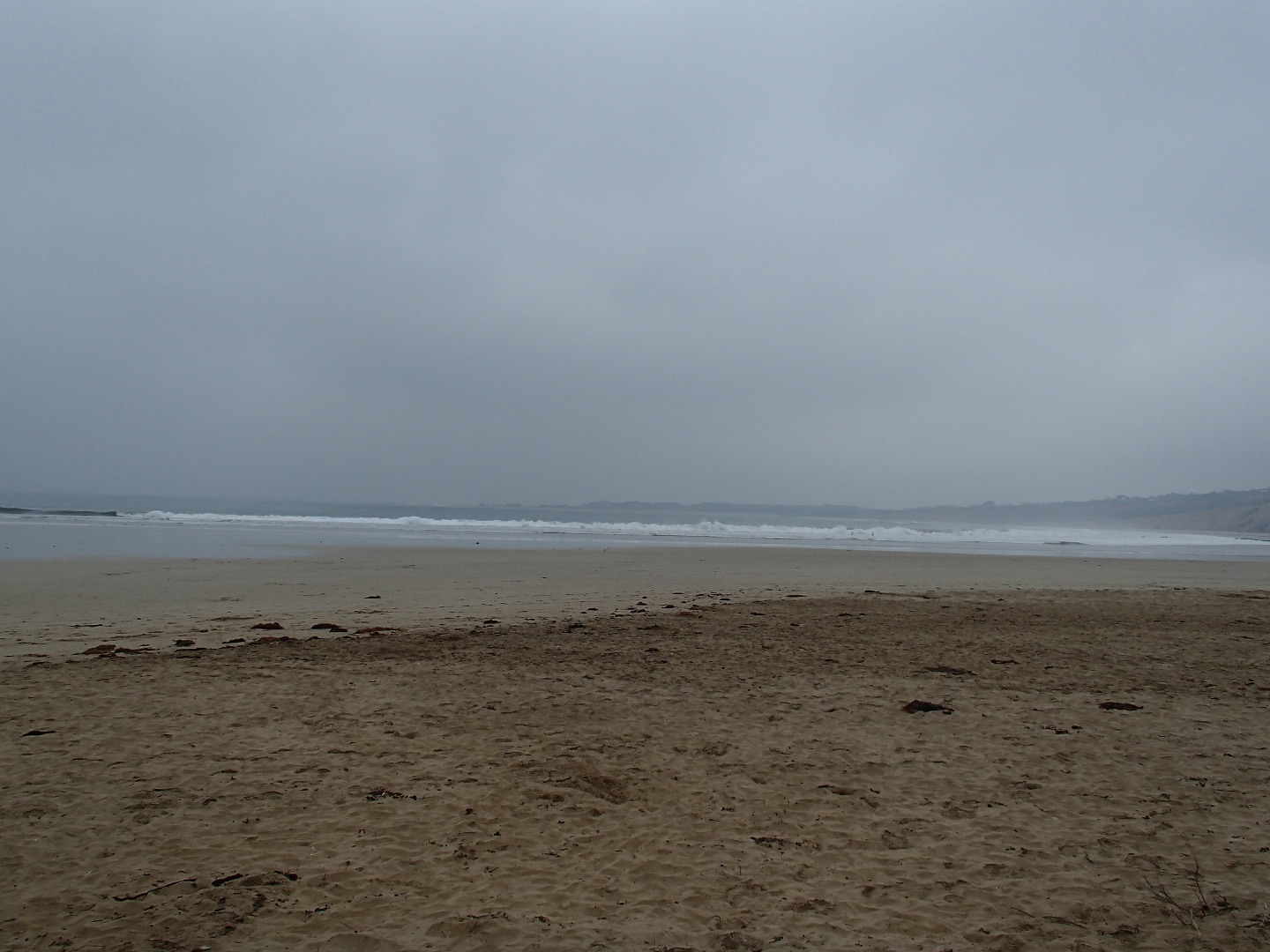
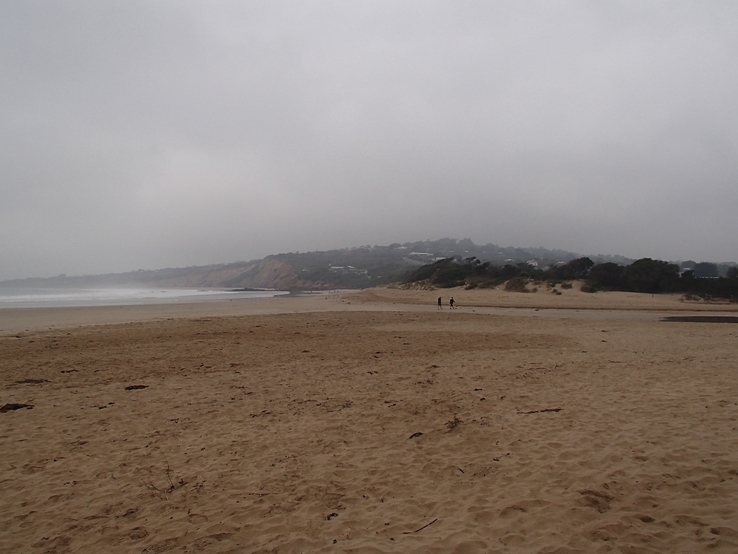
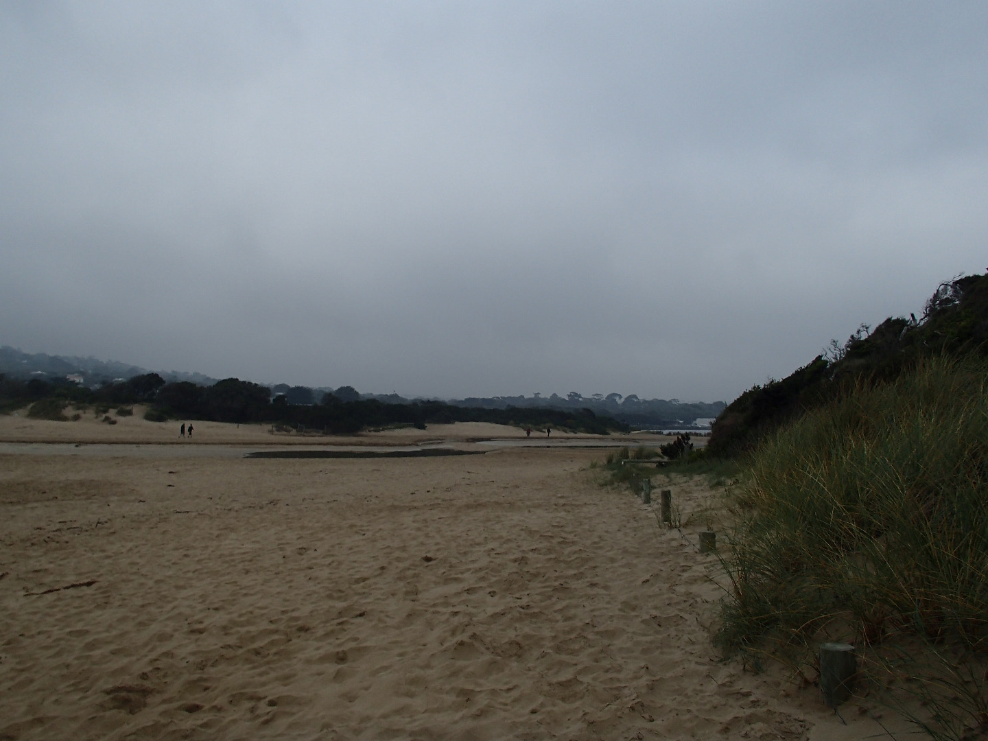
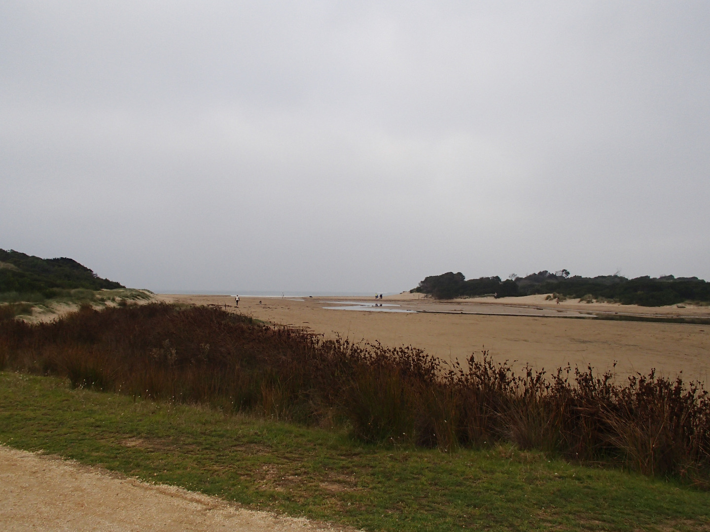
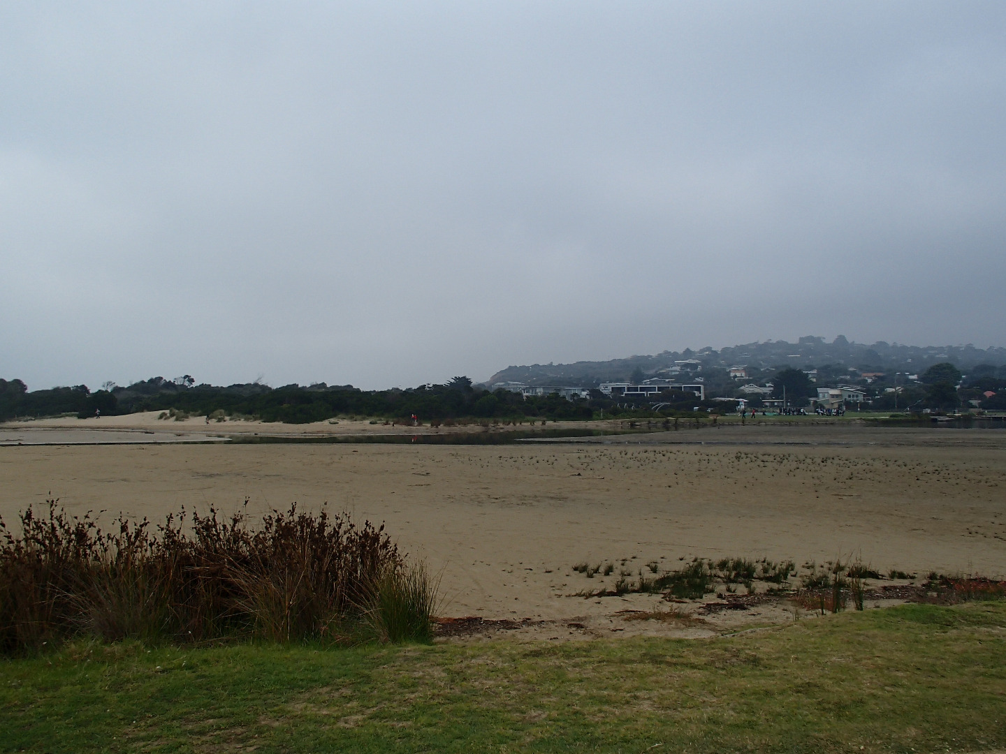
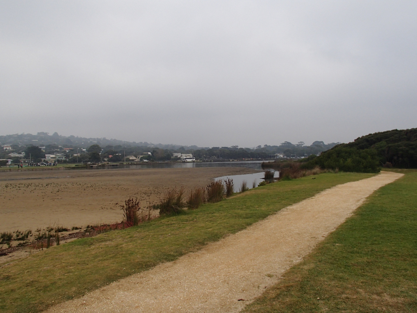
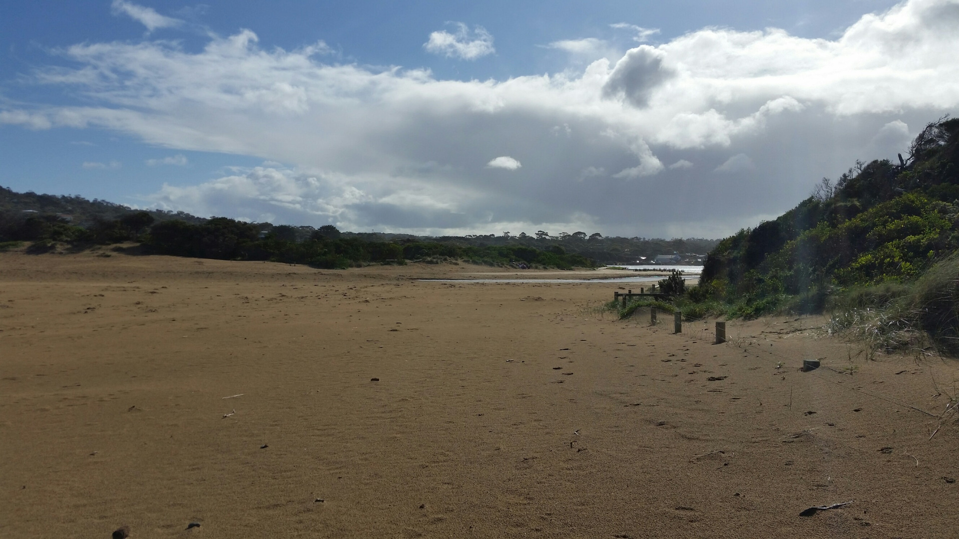
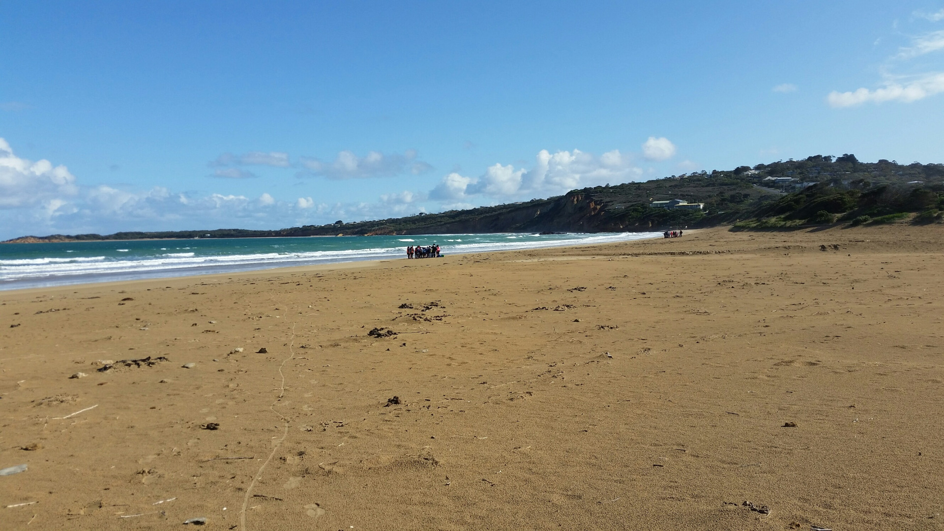
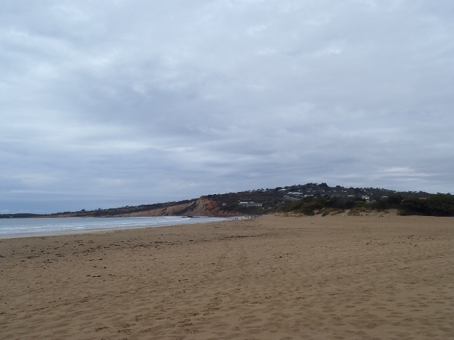
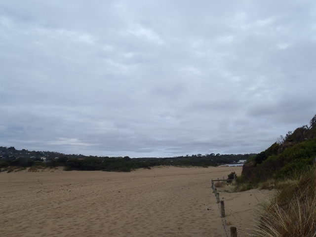
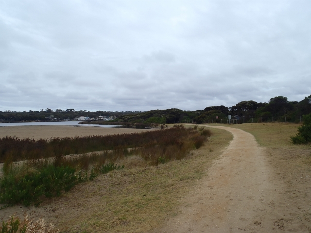
Active Mouth Condition 17-04-2007 - 17-04-2024Anglesea River Estuary
| ID | Date | Status | Details | |
|---|---|---|---|---|
| #11353 | 19 Jul 2017 | Approved | ||
| #11275 | 21 Jun 2017 | Approved |
Notes:
White precipitate from acidic water at high water level. 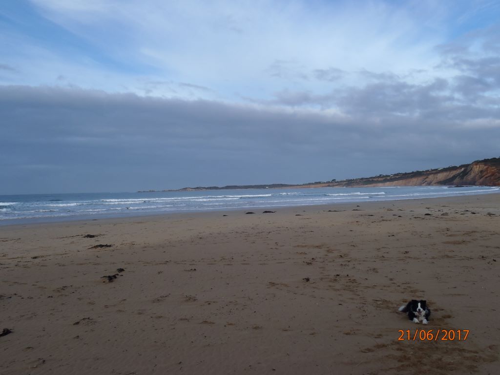 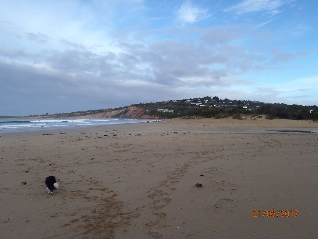 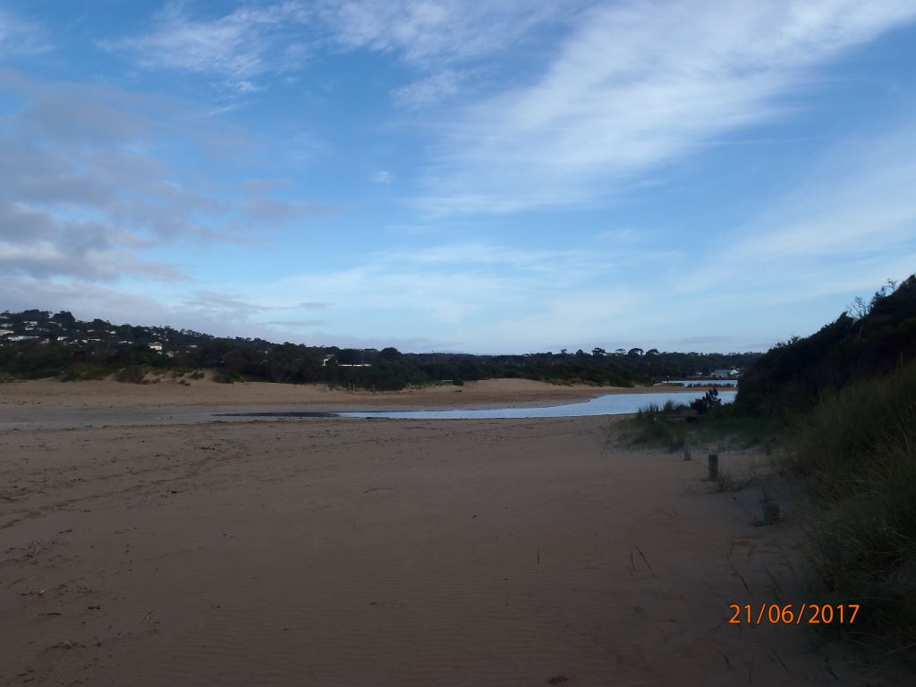 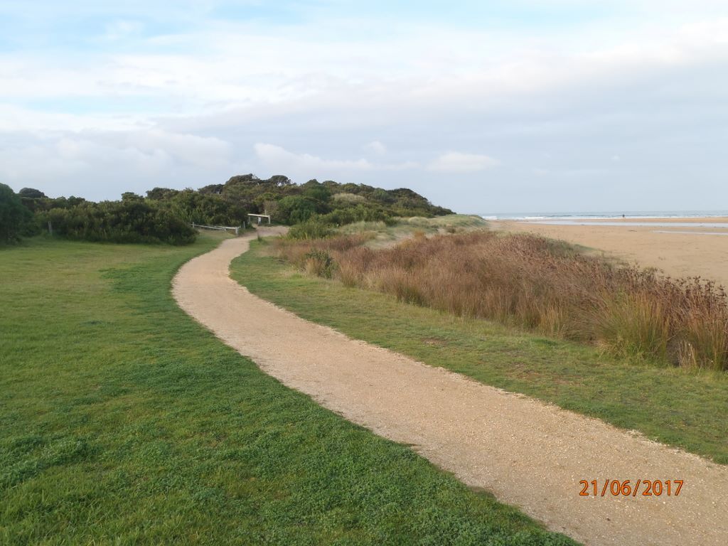 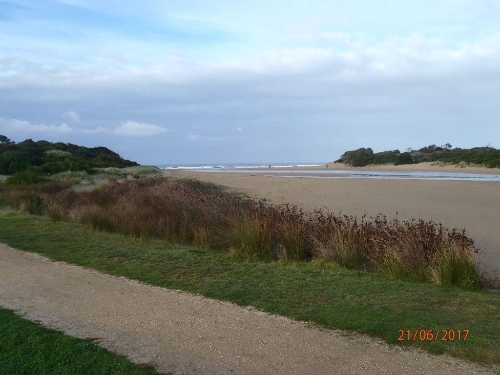 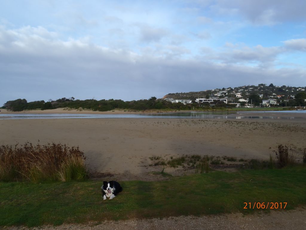 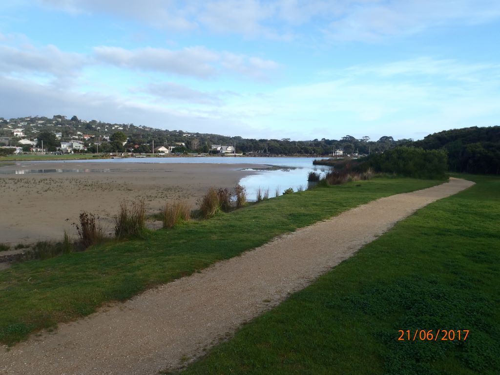 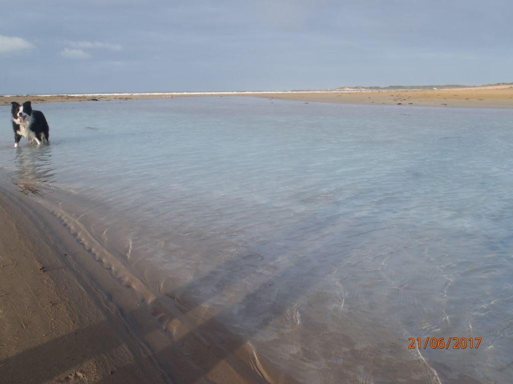 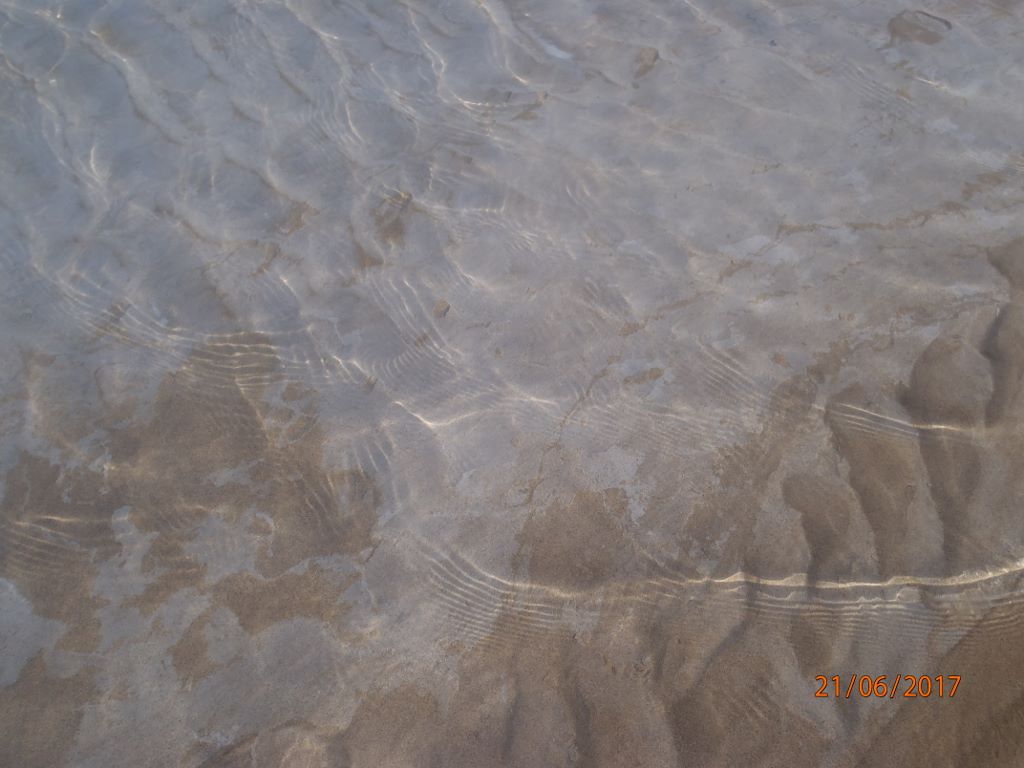 |
|
| #11176 | 17 May 2017 | Approved | ||
| #11102 | 19 Apr 2017 | Approved |
Notes:
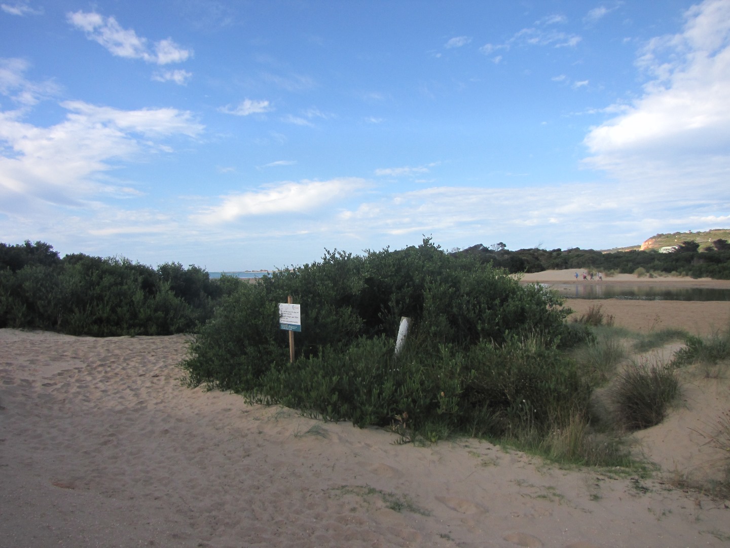
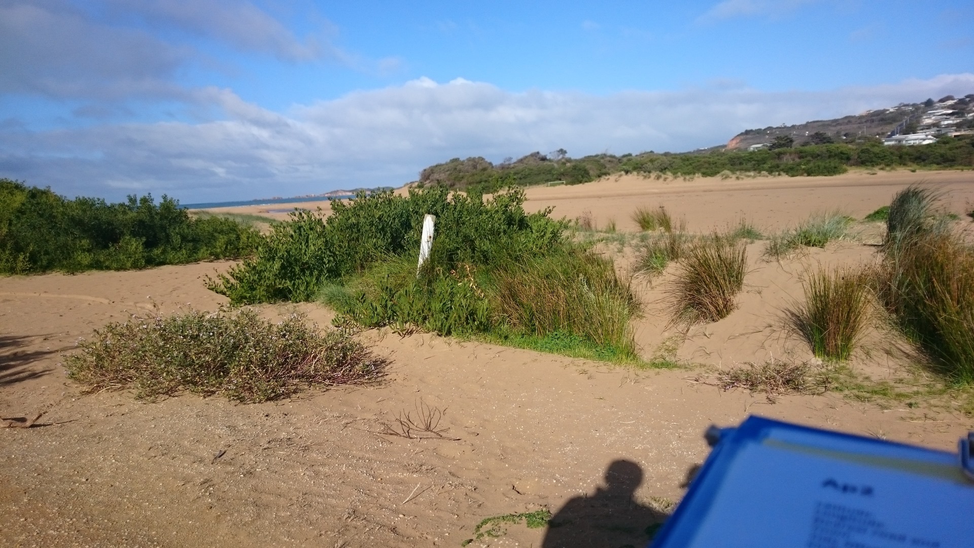
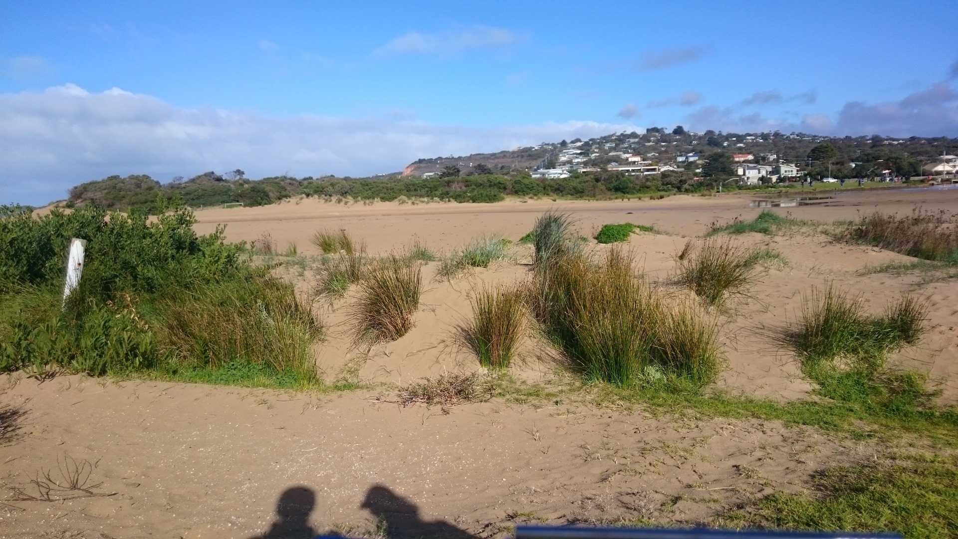
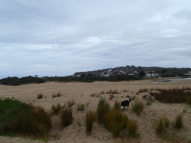
Photosite Ap2 needs to be moved because of rapid growth of vegetation on the dune, which is blocking out the view of the estuary, probably due to abundant RF this year. Coordinator will record new site before next observation and adjust the relevant documentation. |
|
| #10980 | 15 Mar 2017 | Approved | ||
| #10838 | 15 Feb 2017 | Approved |
Notes:
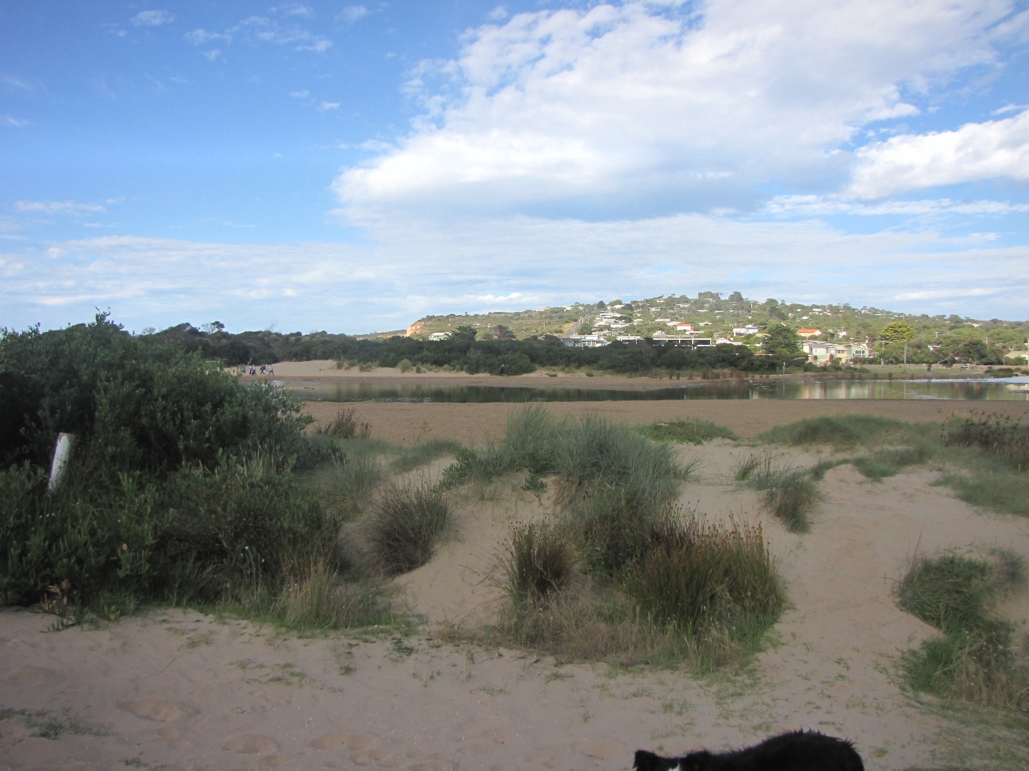
Sea water had flowed into river on the previous high tide Note Bush is obscuring photos from AP2 site. have included photos from a new location closer to the river! |
|
| #10728 | 18 Jan 2017 | Approved |
Notes:
wind may have impacted on height reading at bridge |
|
| #10630 | 14 Dec 2016 | Approved | ||
| #10572 | 23 Nov 2016 | Approved |
Notes:
White precipitate sitting on bottom |
|
| #12559 | 22 Nov 2016 | Approved |
Notes:
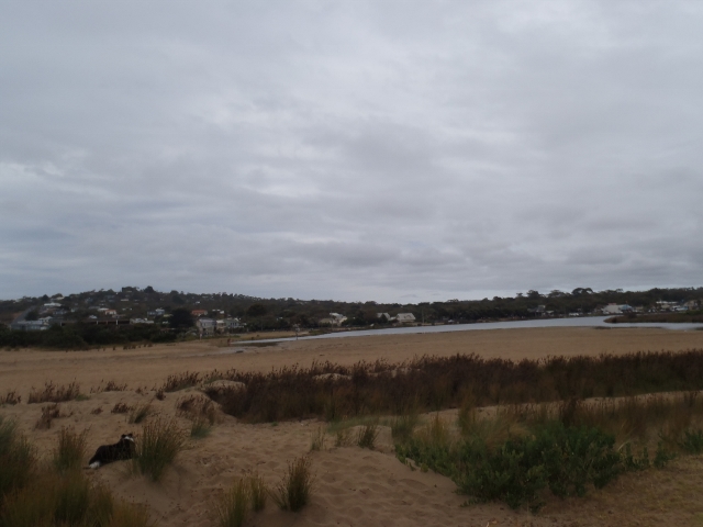
low tide, difficult to measure berm |
|
| #10444 | 19 Oct 2016 | Approved | ||
| #10770 | 21 Sep 2016 | Approved |
Notes:
|
|
| #10432 | 13 Sep 2016 | Approved |
Notes:
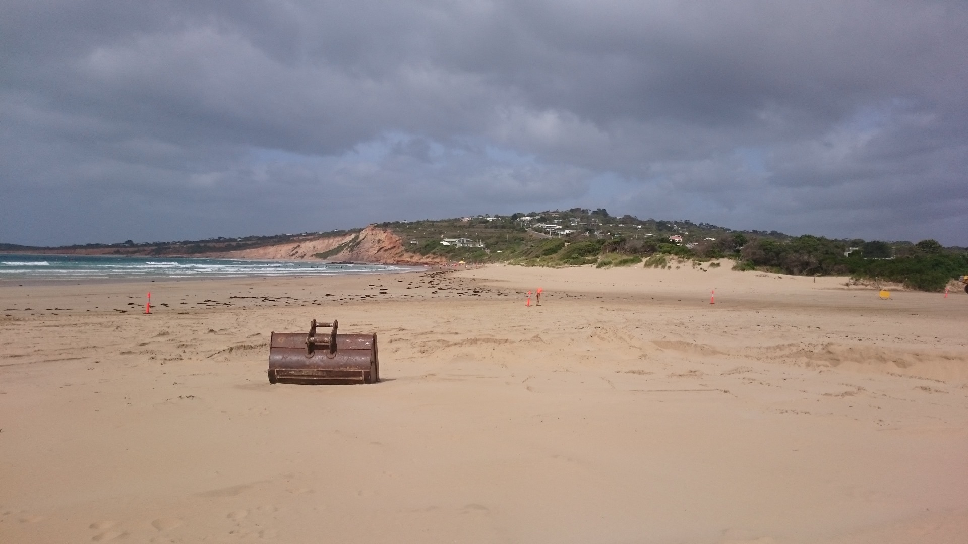
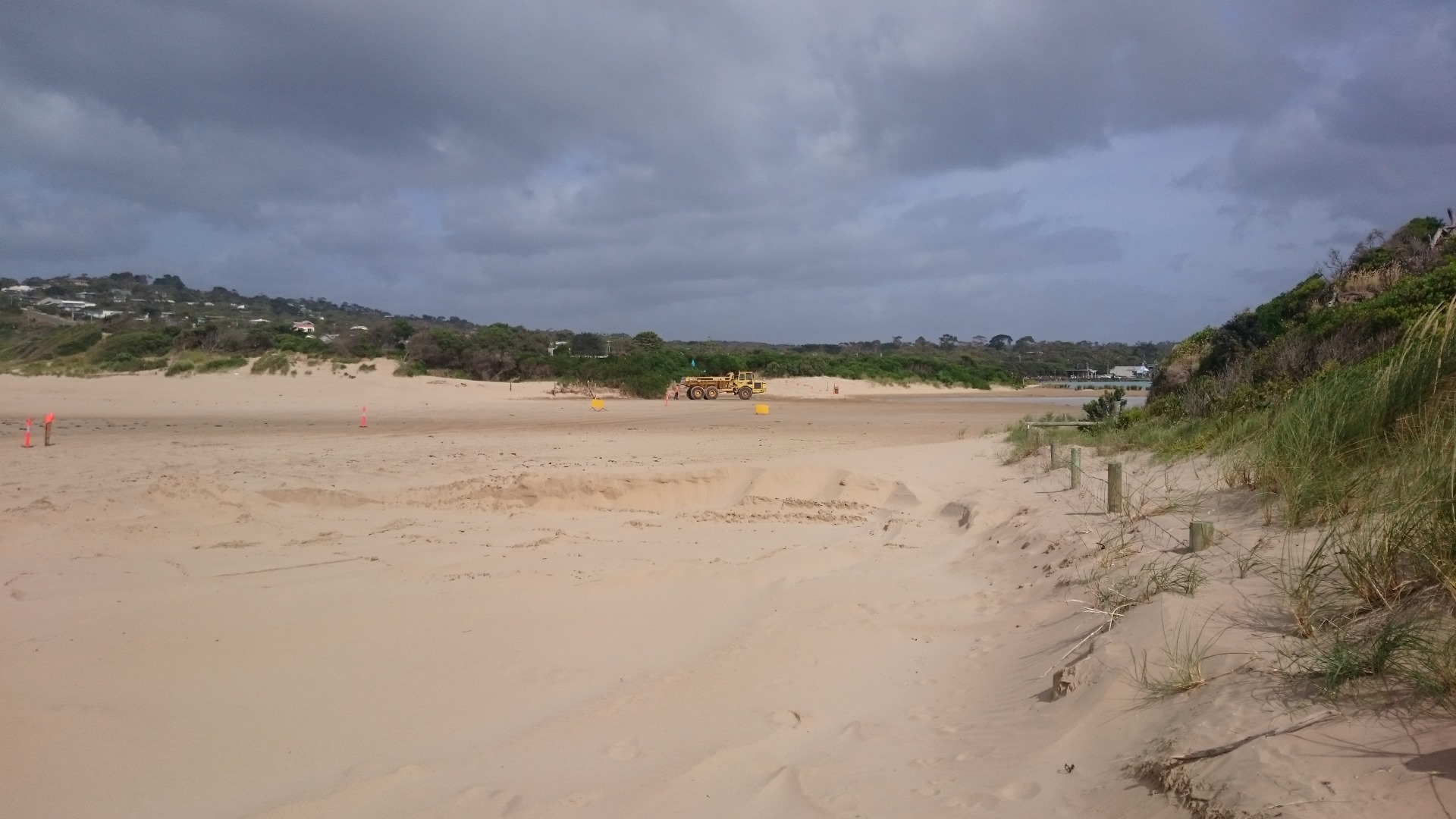
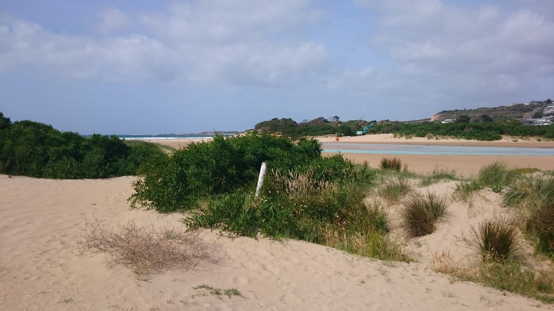
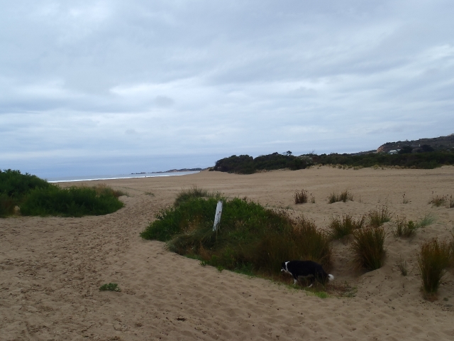
This datasheet was completed during a workshop with the Surf Coast Green Army team. The estuary was artificially opened earlier that day. The digger was still operating when we arrived at the estuary mouth at 9:30am. On this occoasion no photopoint photos were taken because it was unsafe to cross the estuary mouth. See photos. 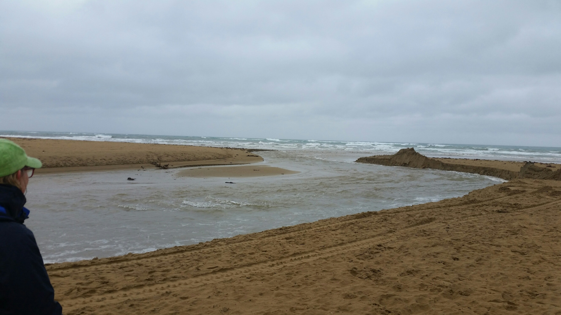 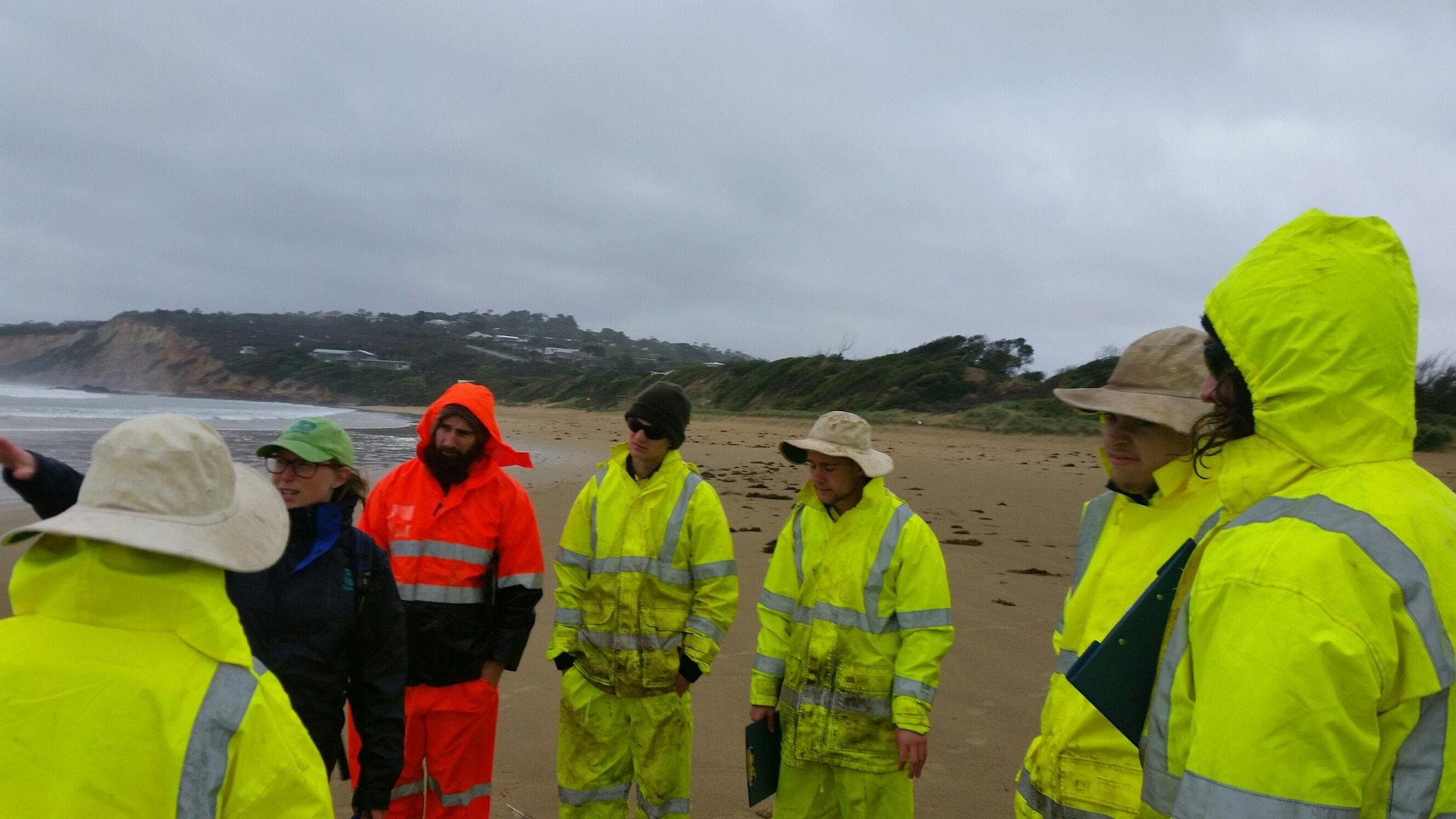 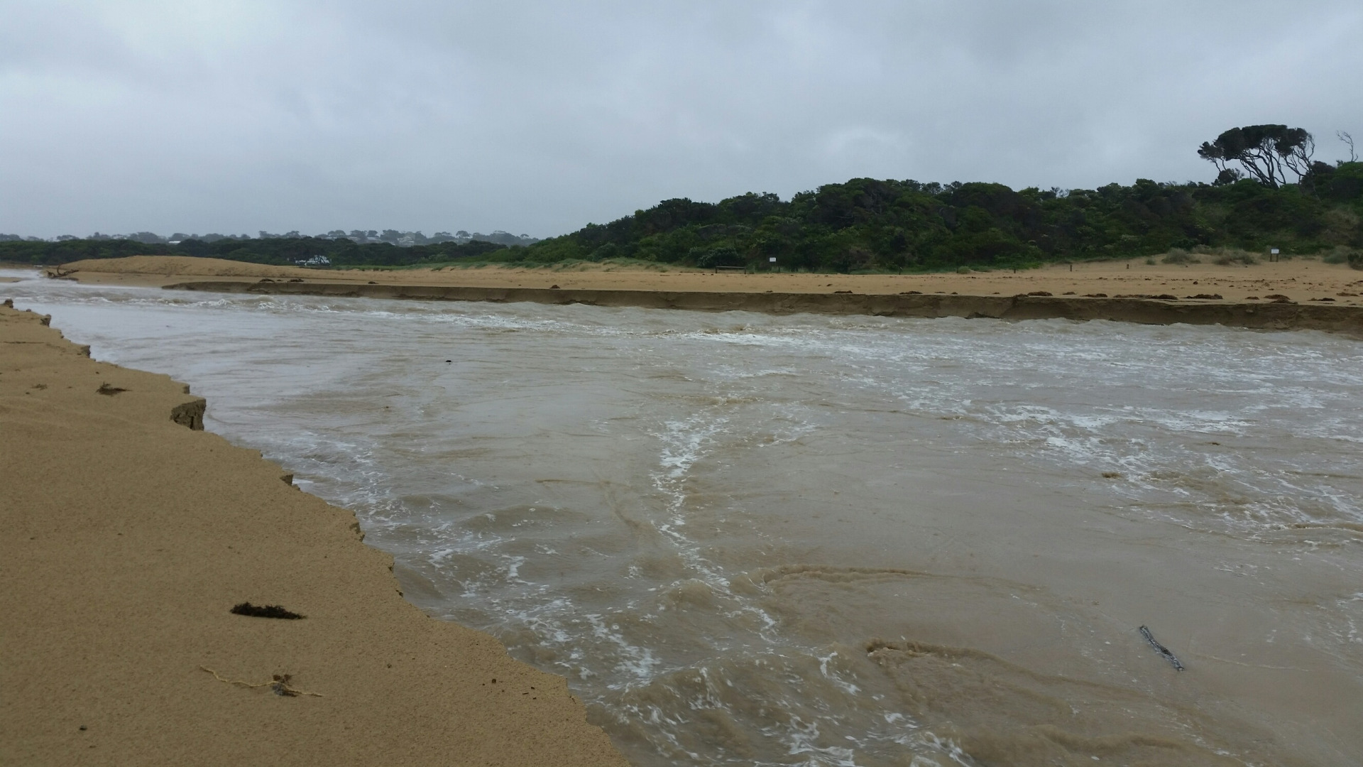 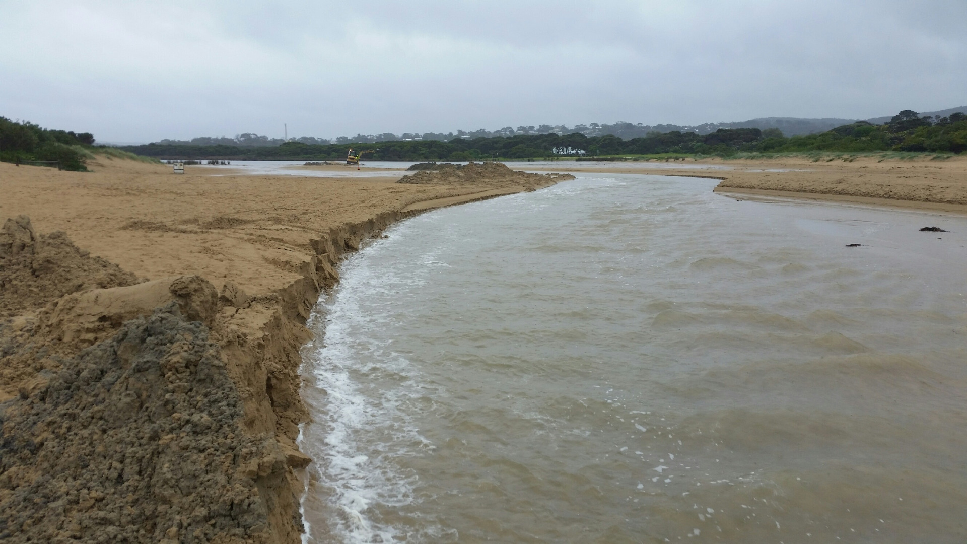 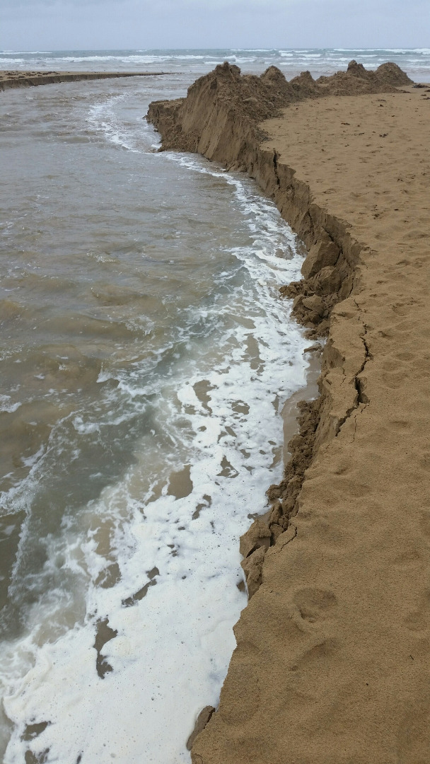 |
|
| #10433 | 12 Sep 2016 | Approved | ||
| #10693 | 25 Aug 2016 | Approved | ||
| #10723 | 17 Aug 2016 | Approved | ||
| #10464 | 20 Jul 2016 | Approved | ||
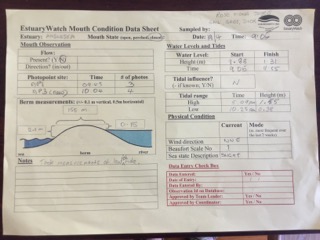
| #10387 | 15 Jun 2016 | Approved | Notes: Assisted by Laura. Berm was 115.7m long. | |
| #10334 | 25 May 2016 | Approved | Notes: Berm length was 87.5m. | |
| #10261 | 20 Apr 2016 | Approved | Notes: Berm length 128m | |
| #10267 | 16 Mar 2016 | Approved |
Notes:
Berm length 187m. |
|
| #10179 | 18 Feb 2016 | Approved | Notes: Surf Coast Green Army took these readings as part of a half day EstuaryWatch workshop. Berm length was 149.4m. | |
| #10177 | 17 Feb 2016 | Approved | Notes: 73 metre long sand berm. Sea overtopping the berm on last high tide. | |
| #10085 | 20 Jan 2016 | Approved | Notes: Water level Indicator on Anglesea Bridge is badly fouled up-difficult to read. Berm length was 192m. | |
| #10019 | 16 Dec 2015 | Approved | Notes: Distance from river to sea 145 meters. | |


All content, files, data and images provided by the EstuaryWatch Data Portal and Gallery are subject to a Creative Commons Attribution License
Content is made available to be used in any way, and should always attribute EstuaryWatch and www.estuarywatch.org.au