EstuaryWatch Data Portal
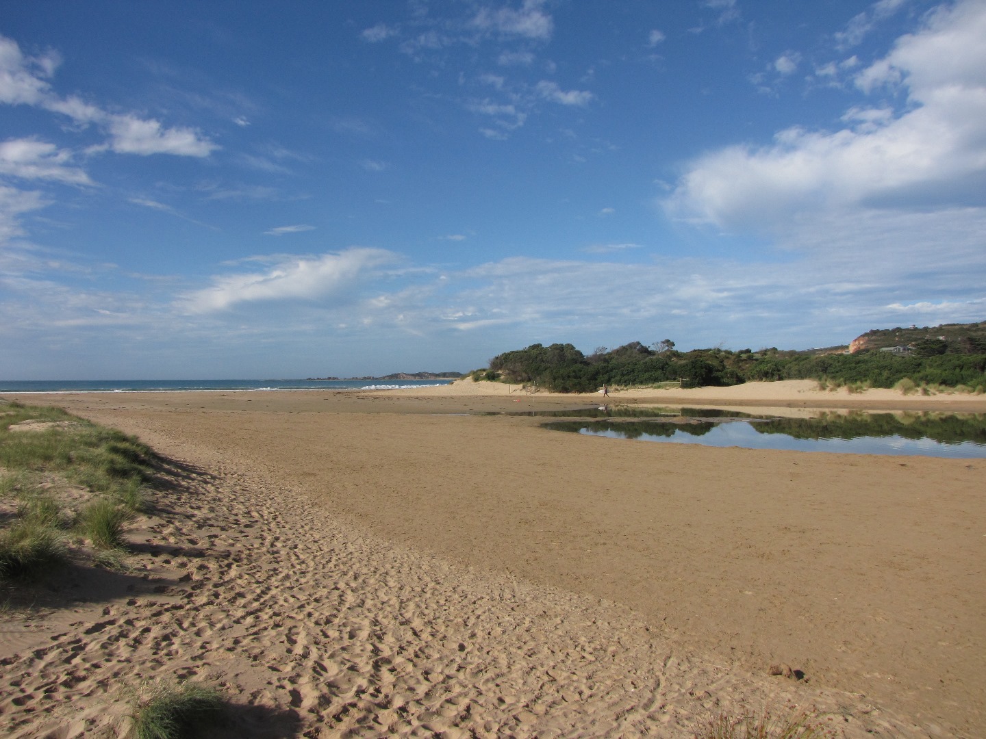
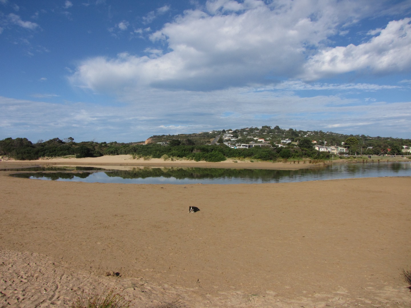
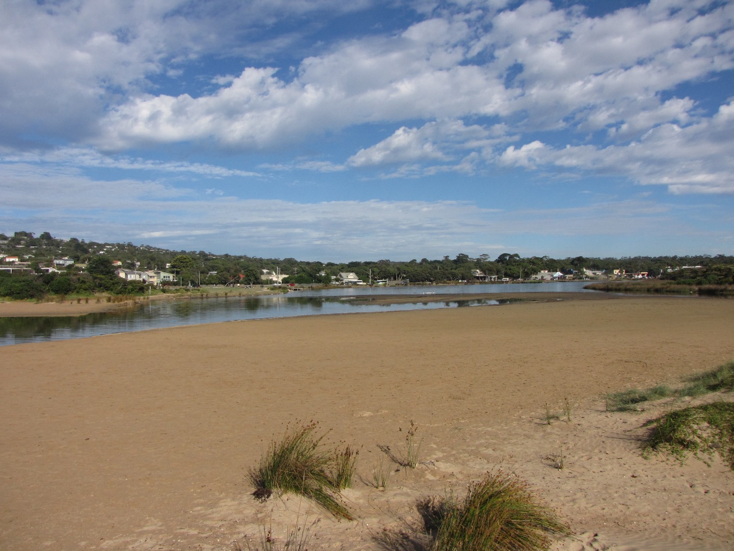
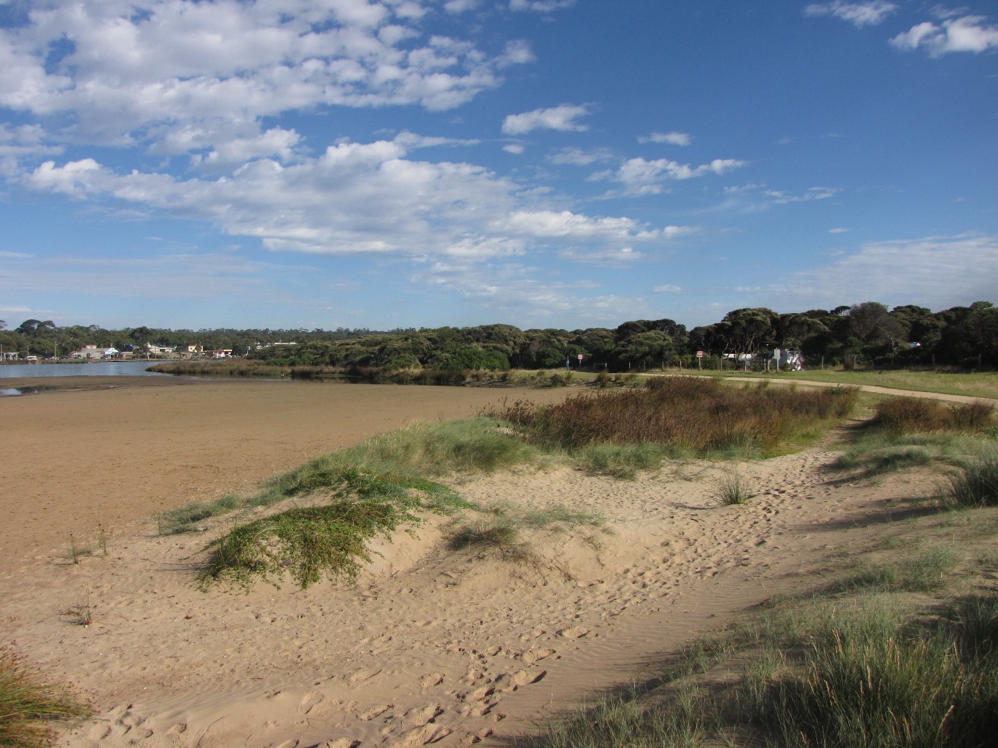
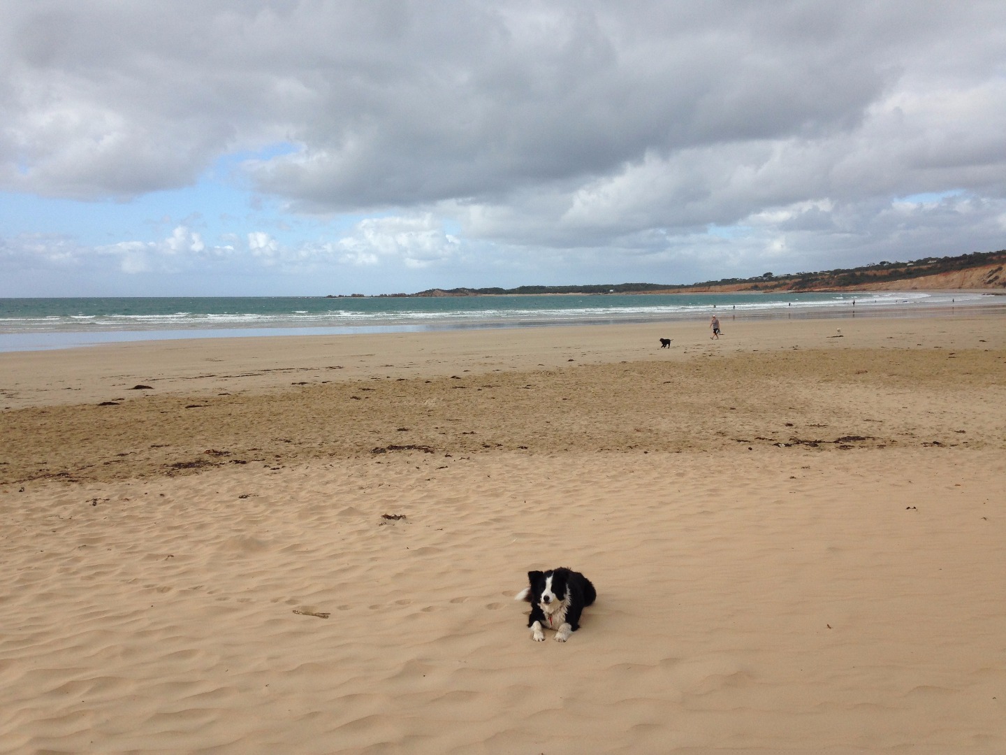
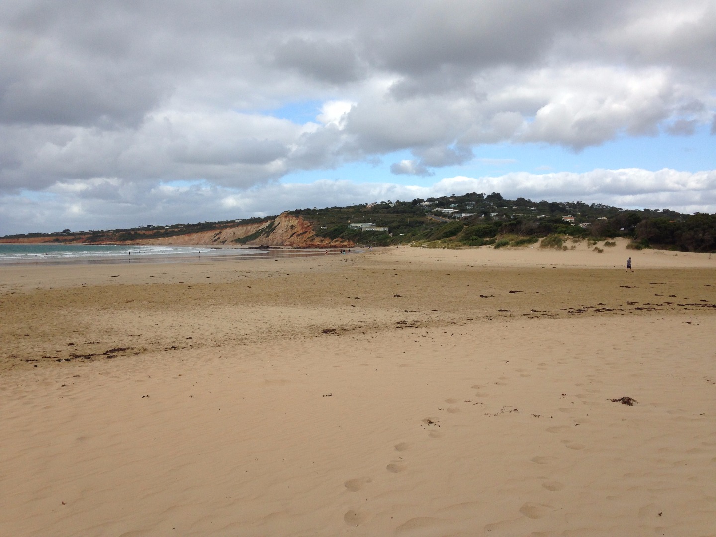
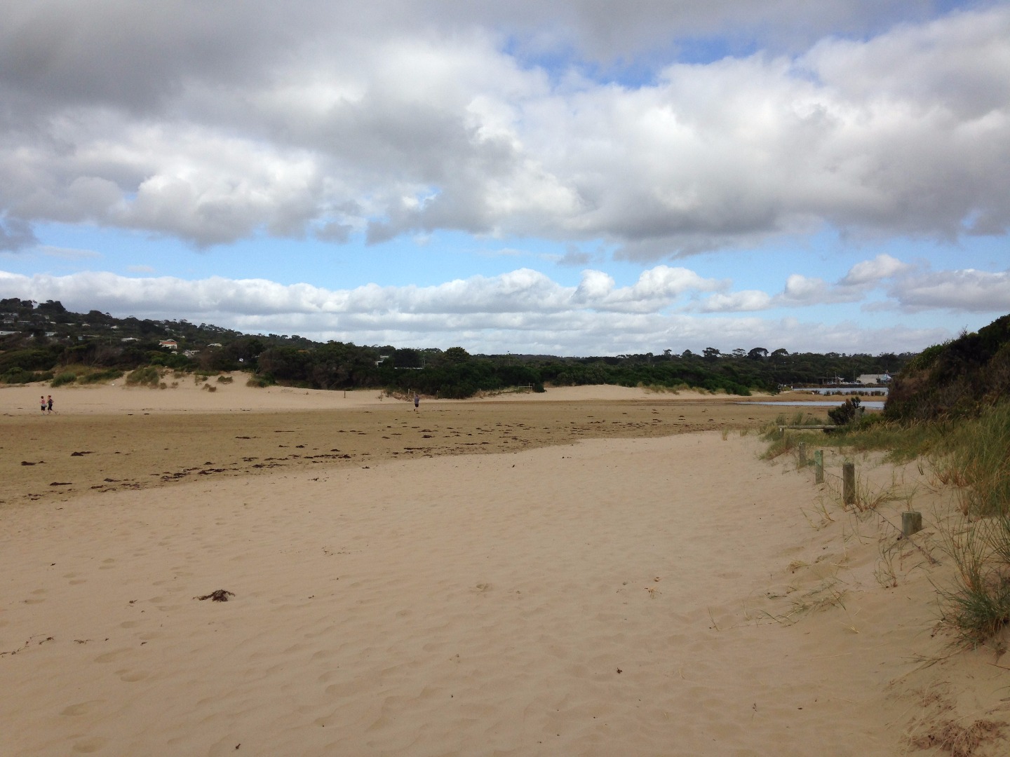
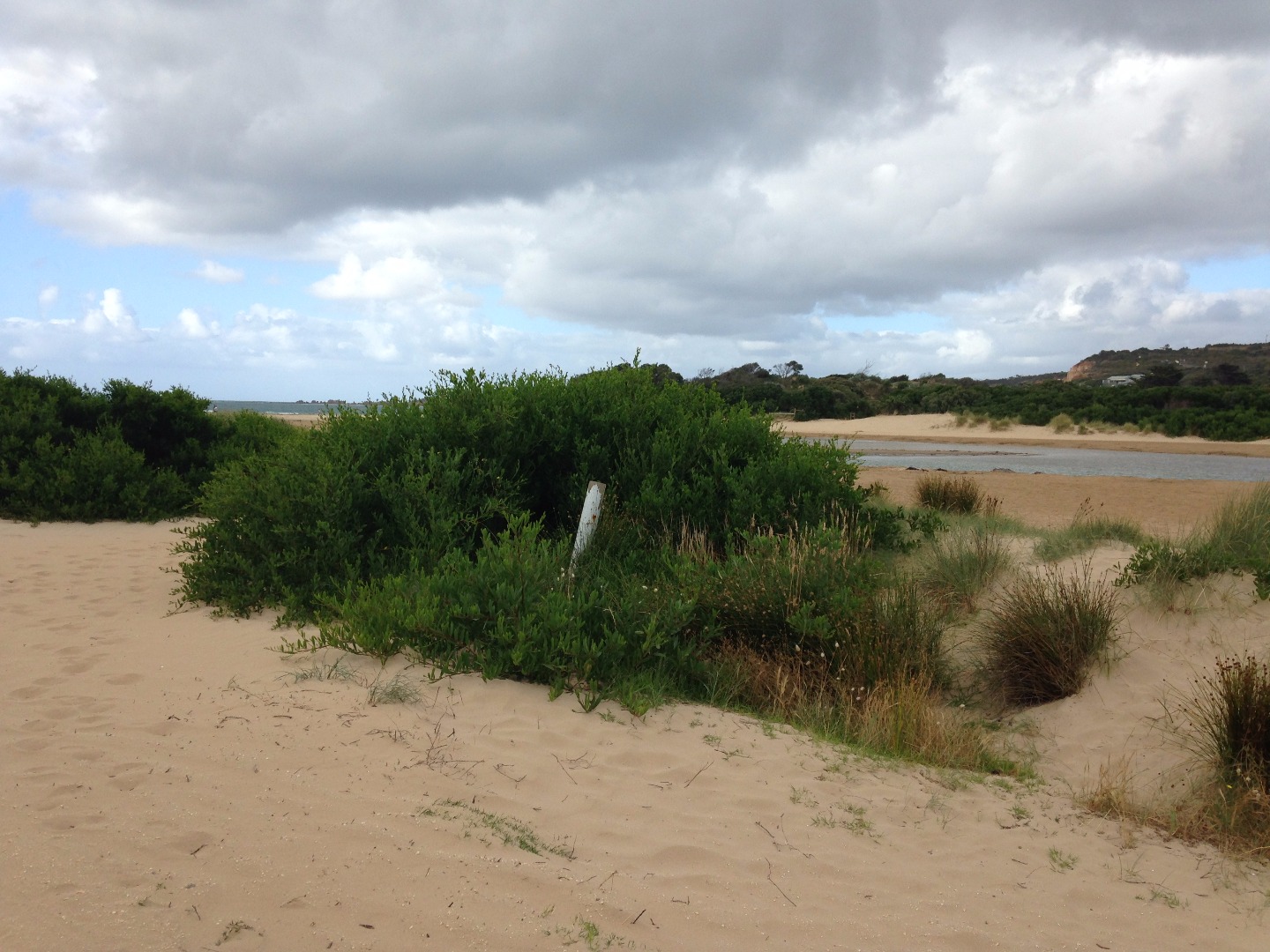
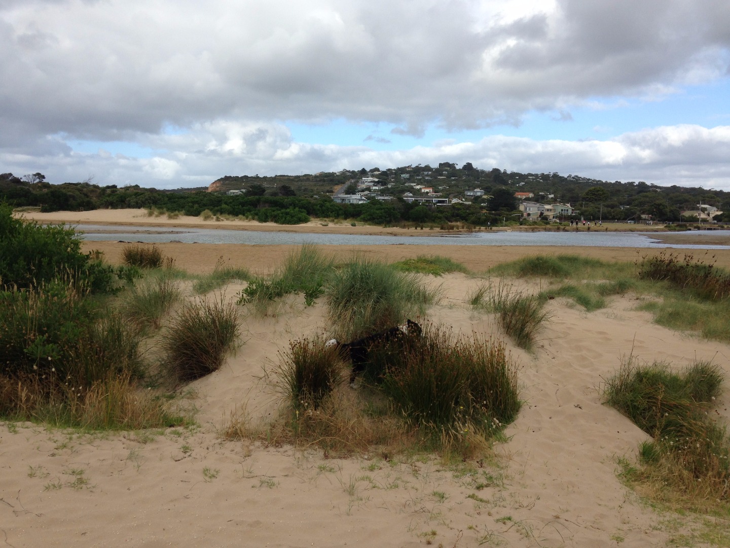
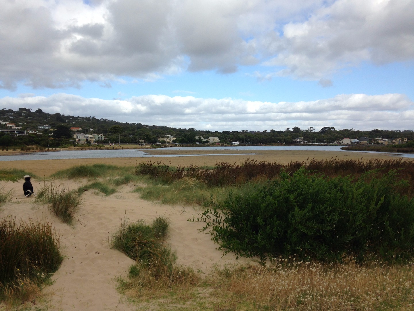
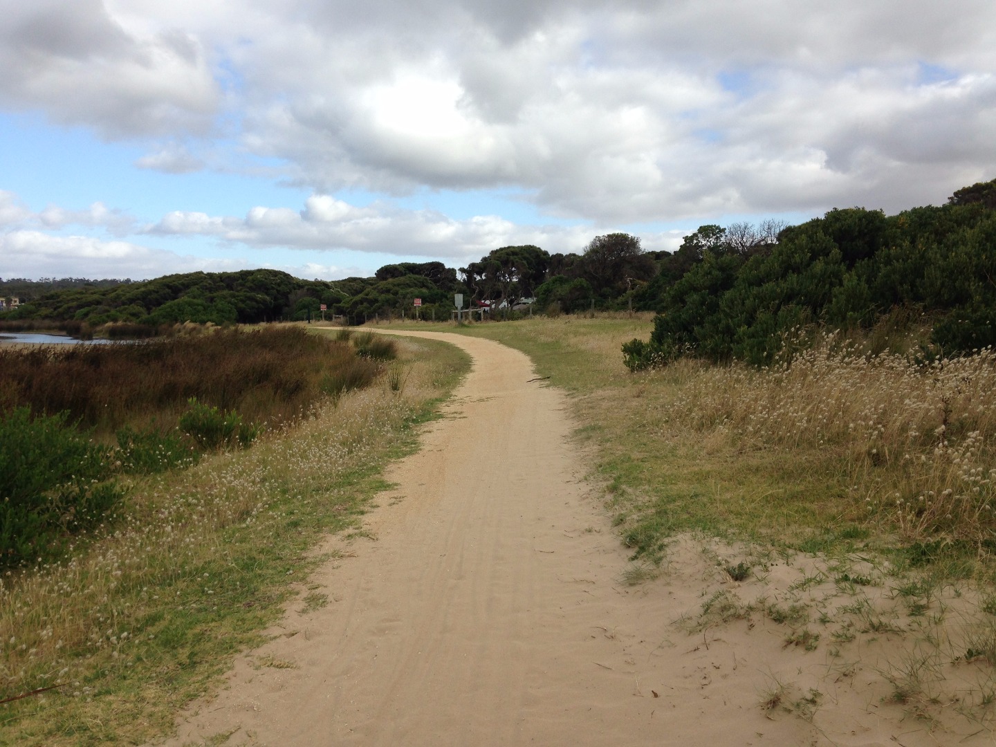
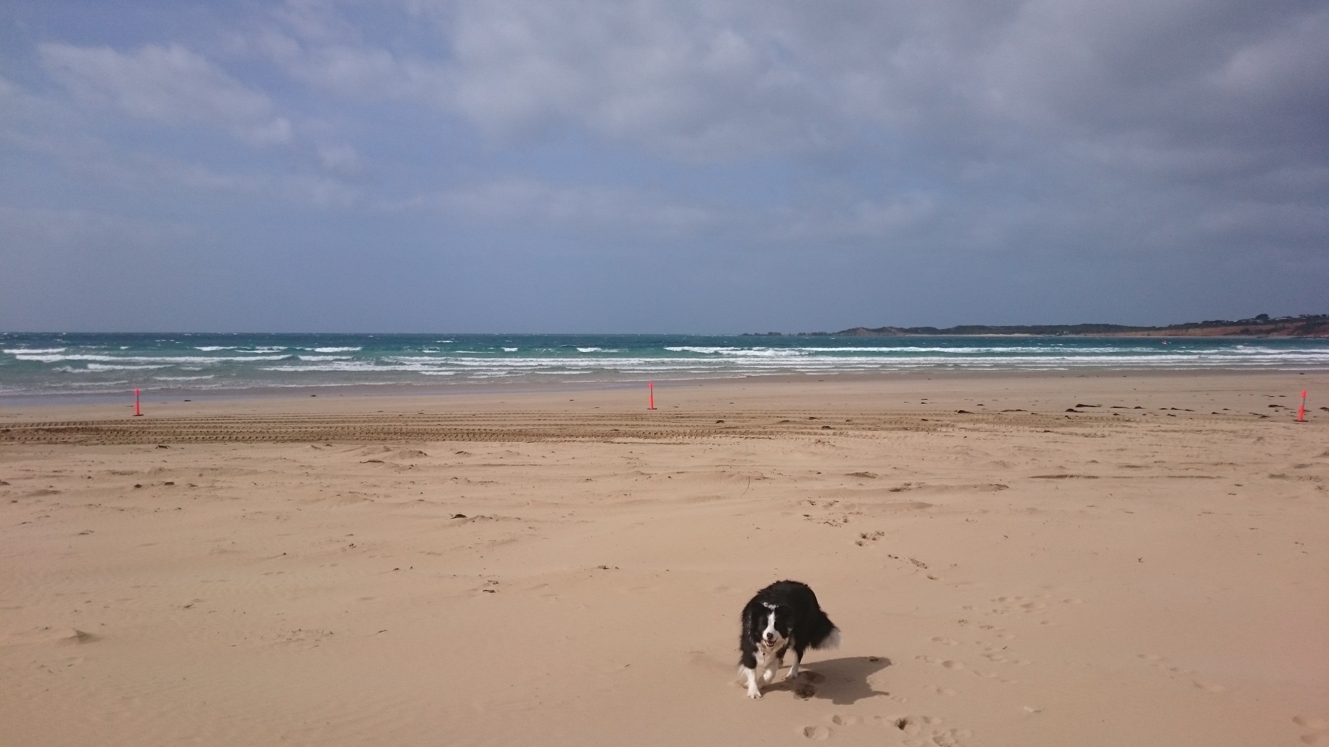
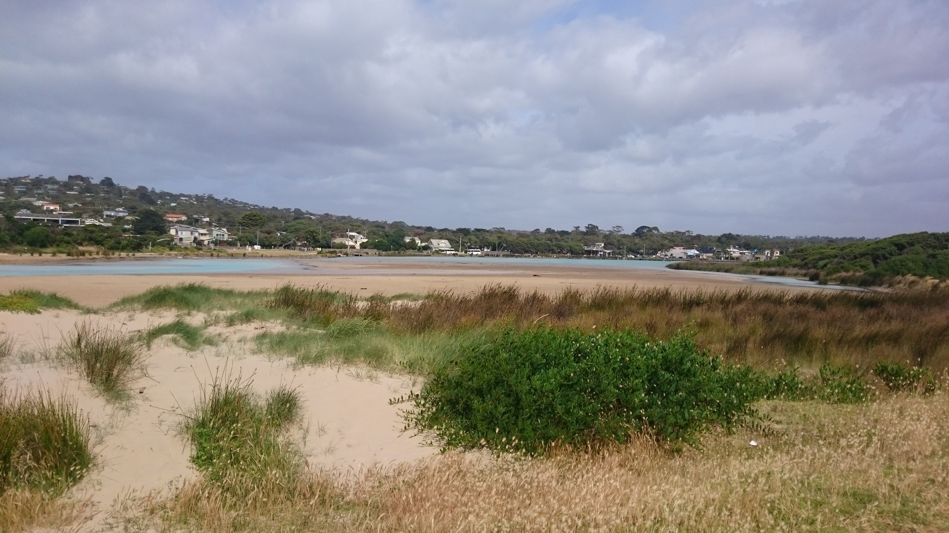
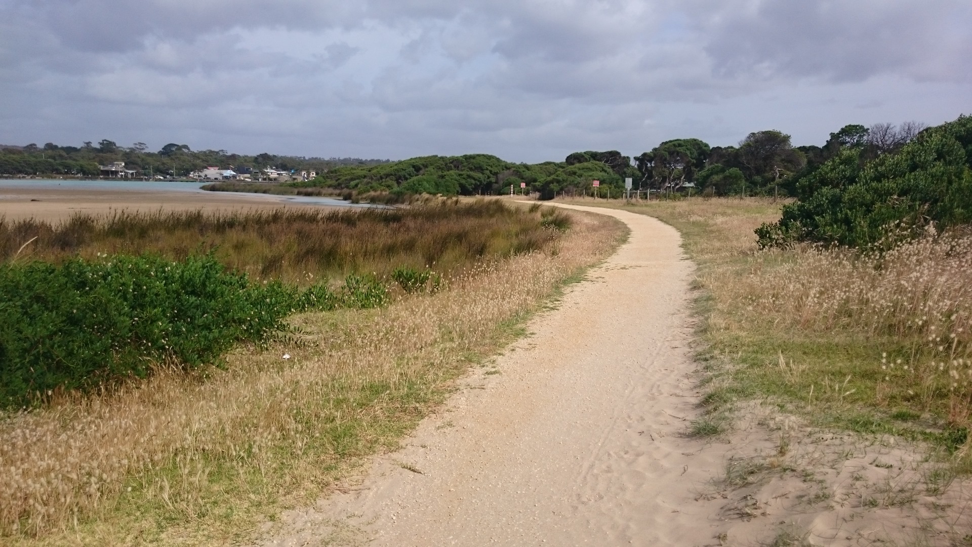
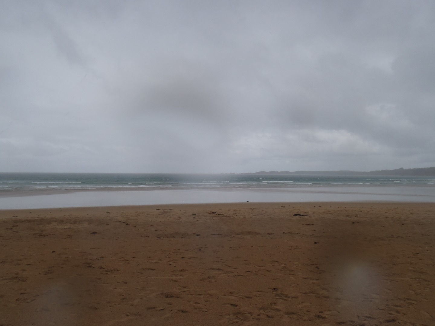
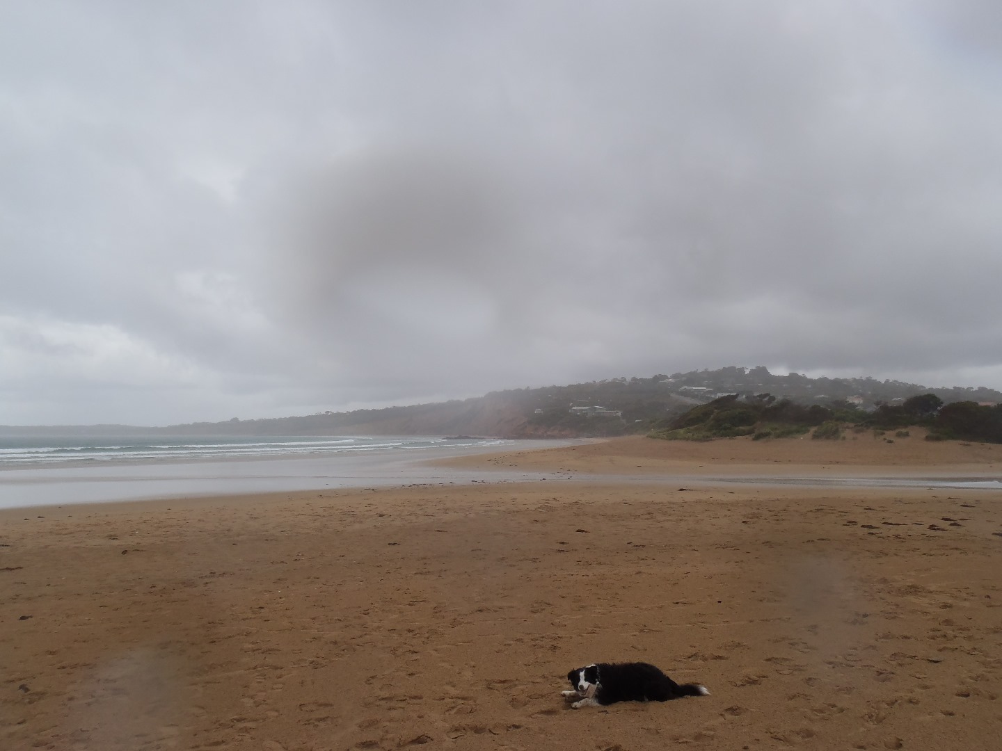
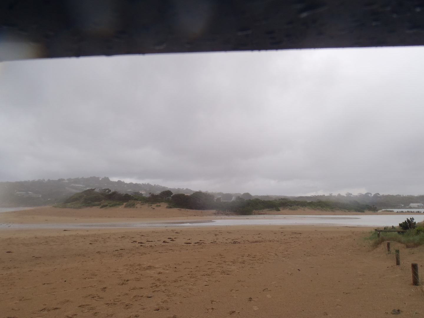
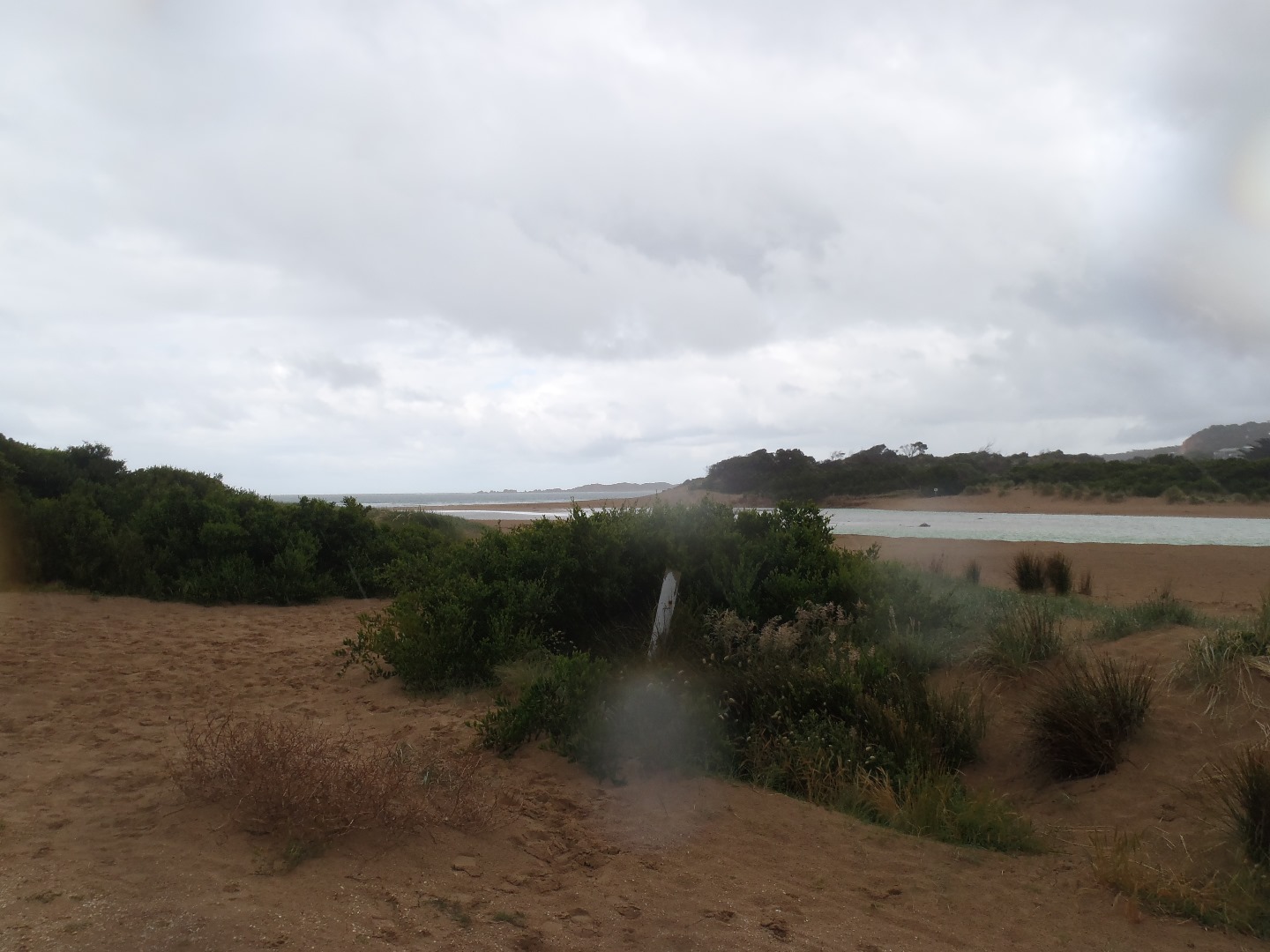
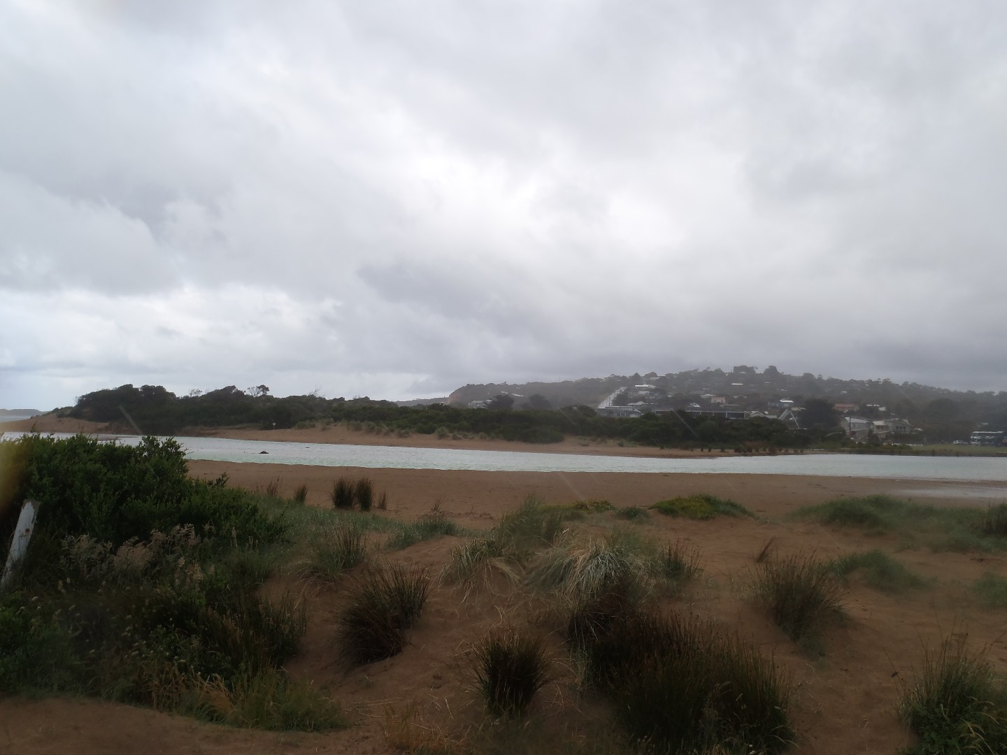
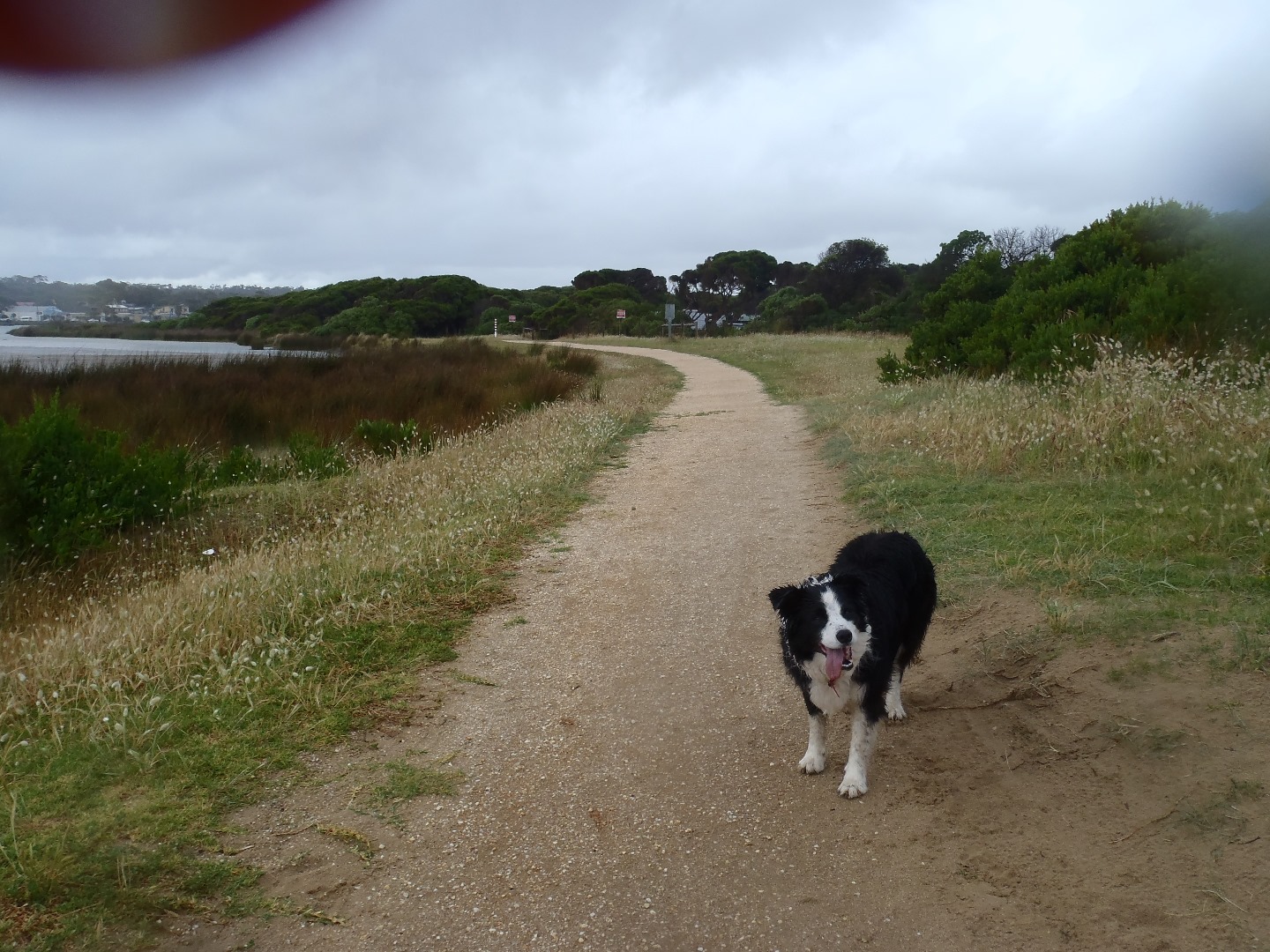
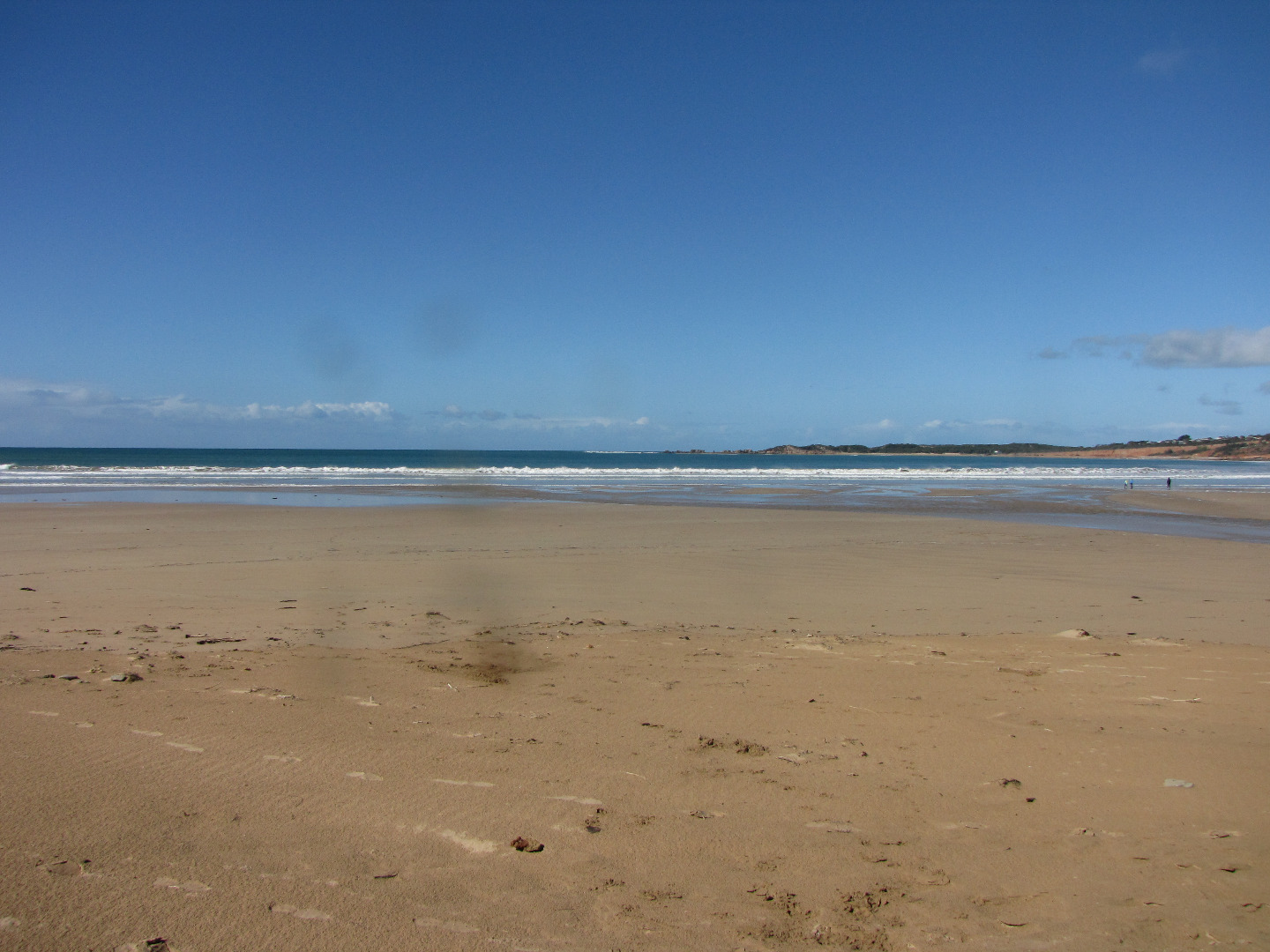
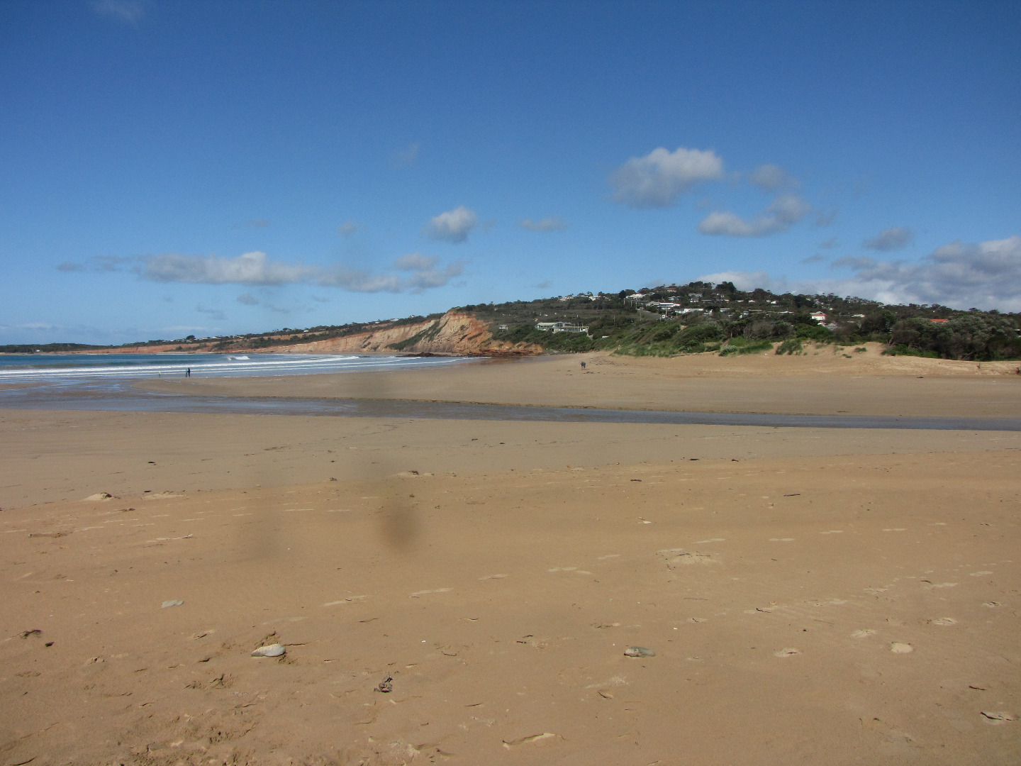
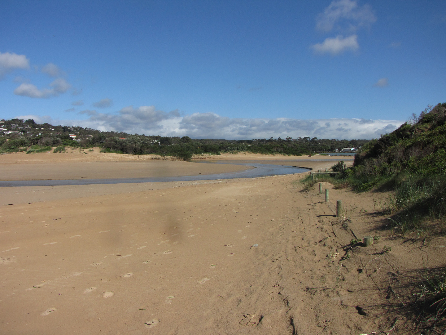
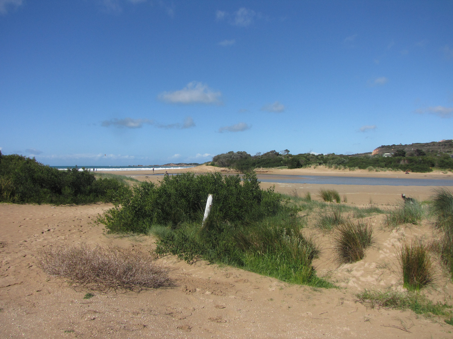
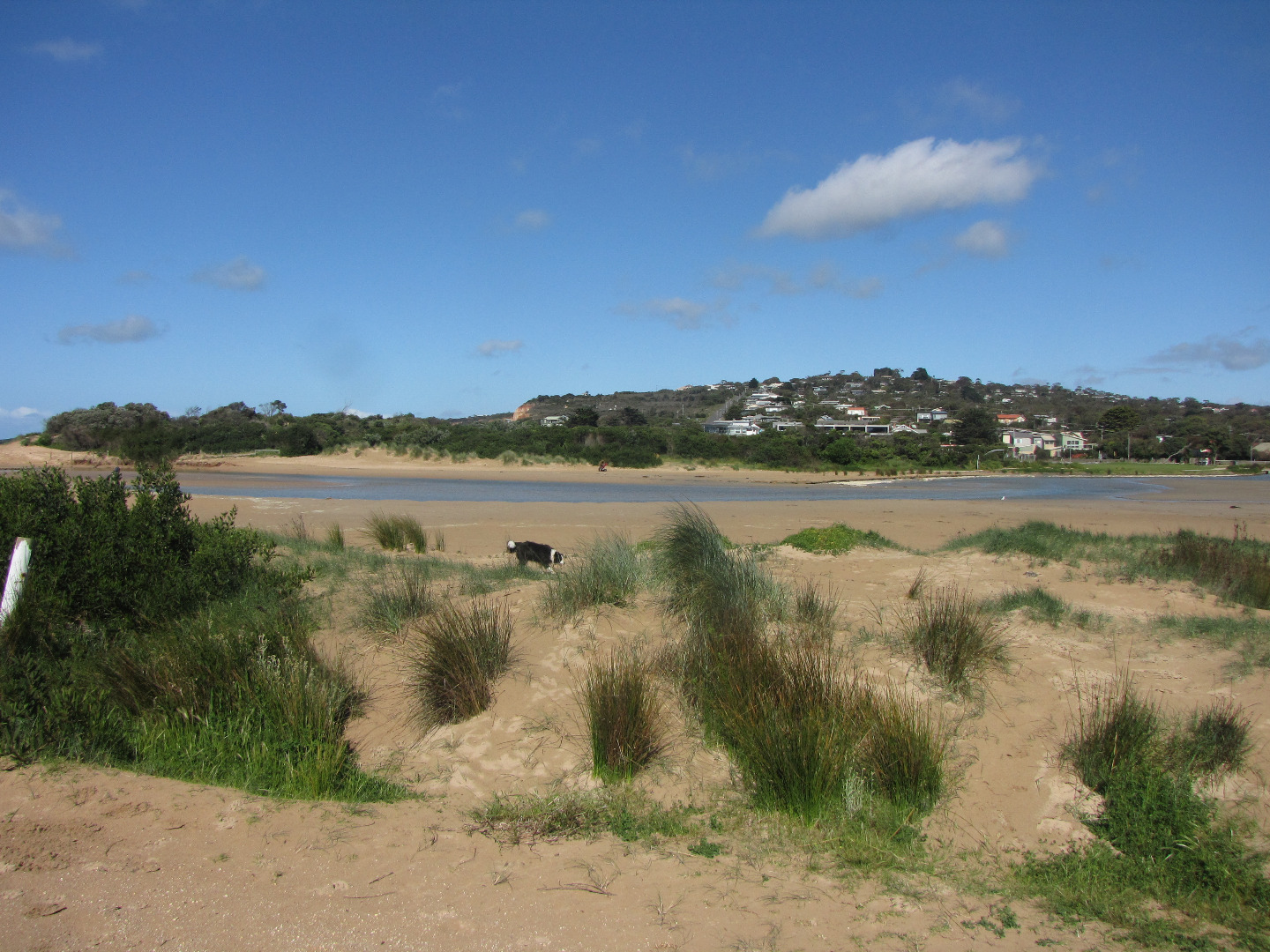
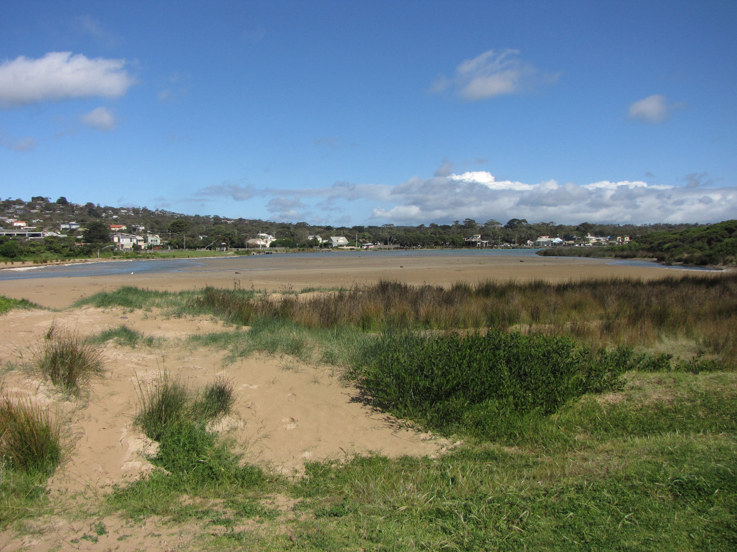
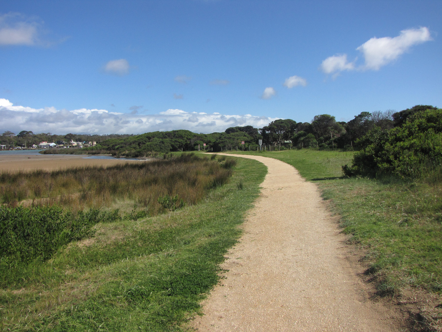
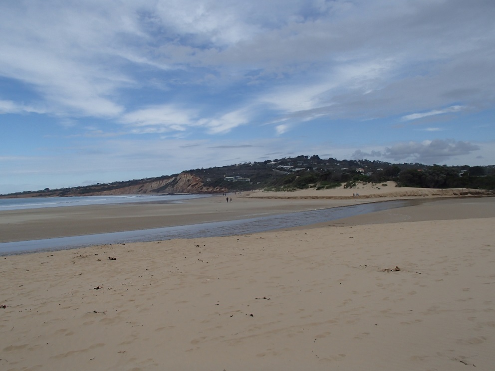
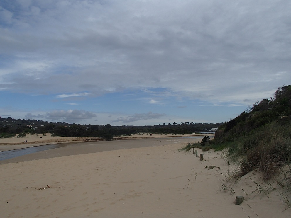
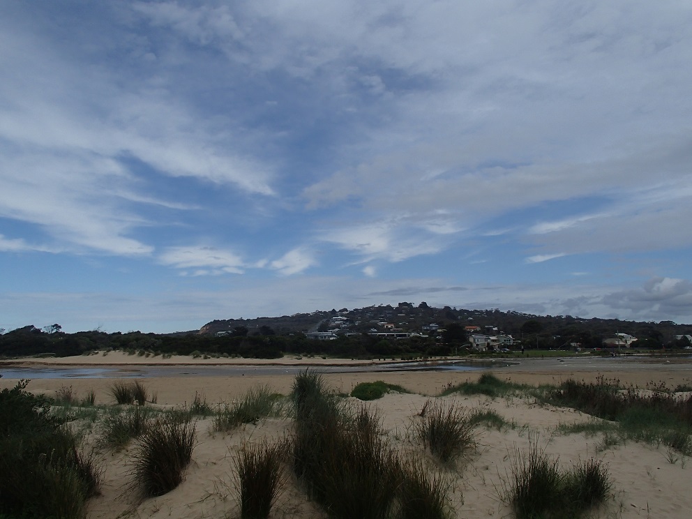
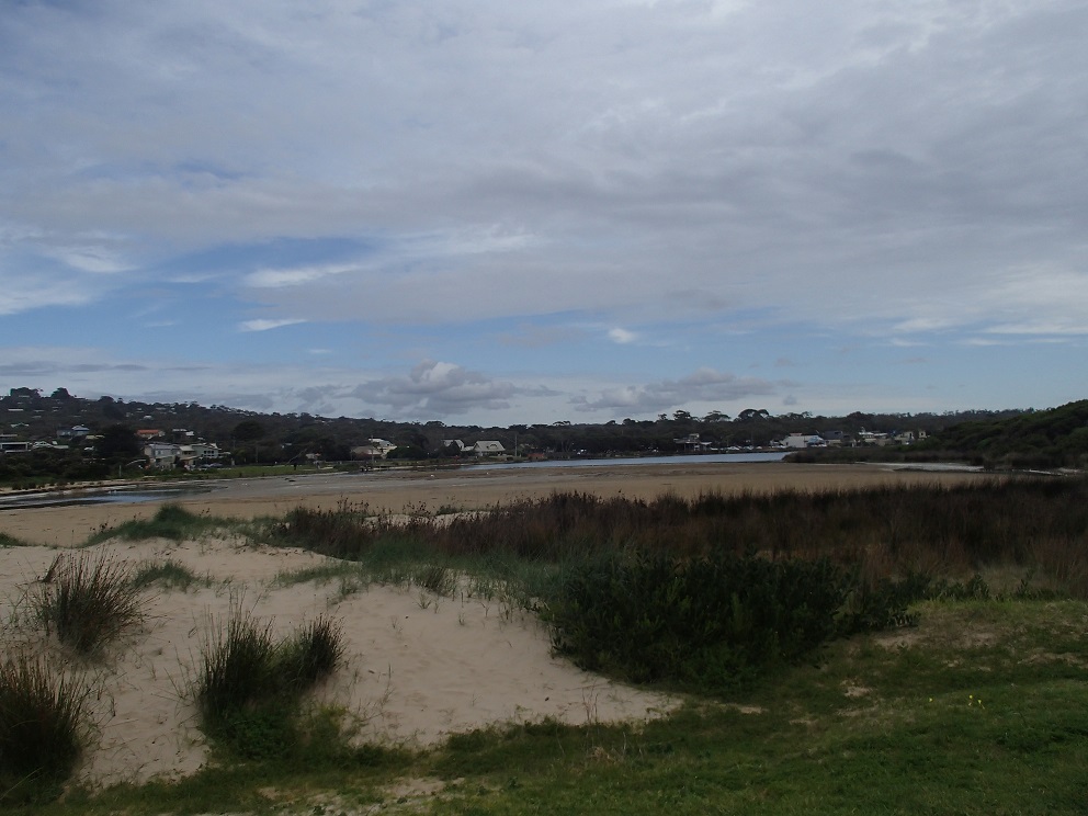
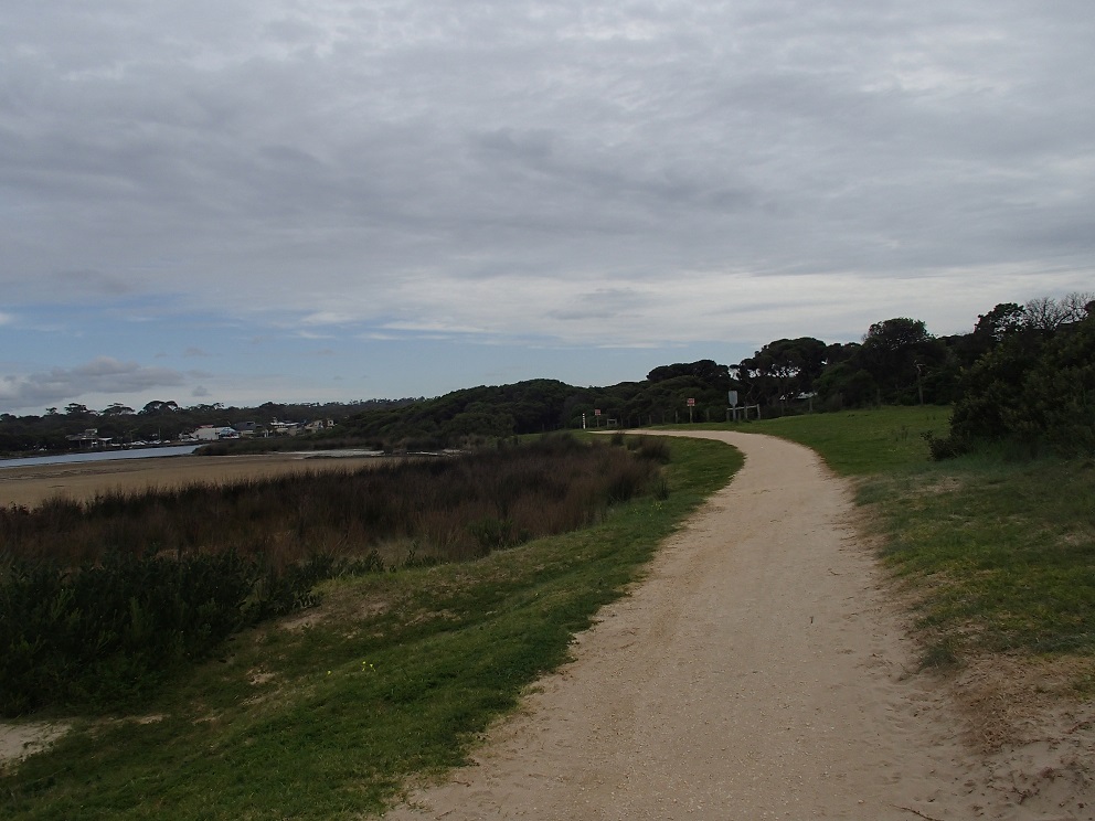
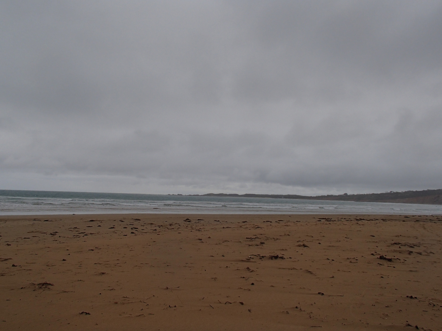
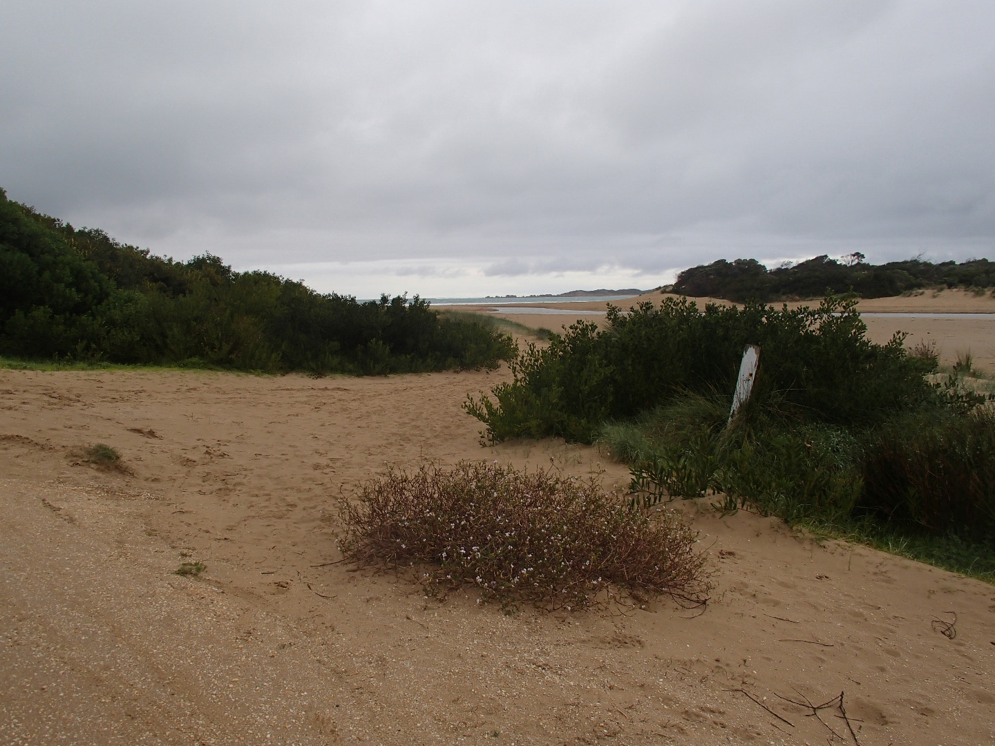
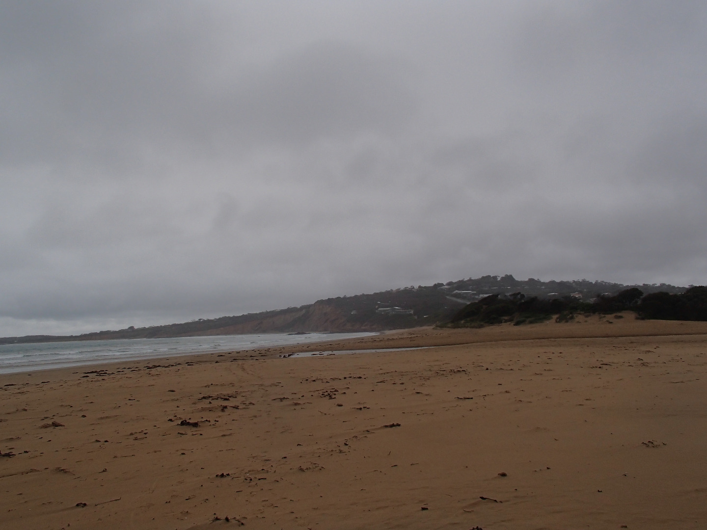
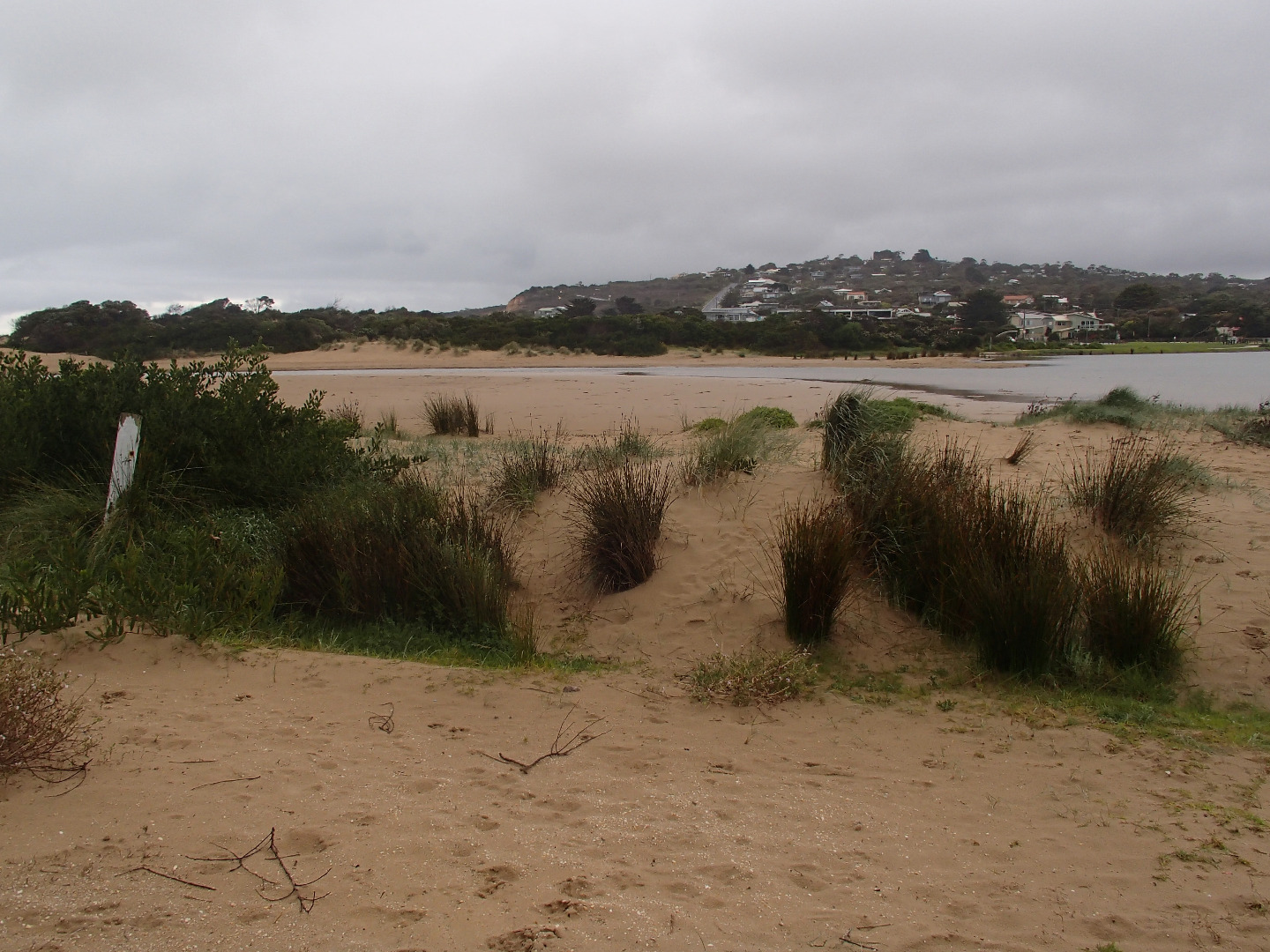
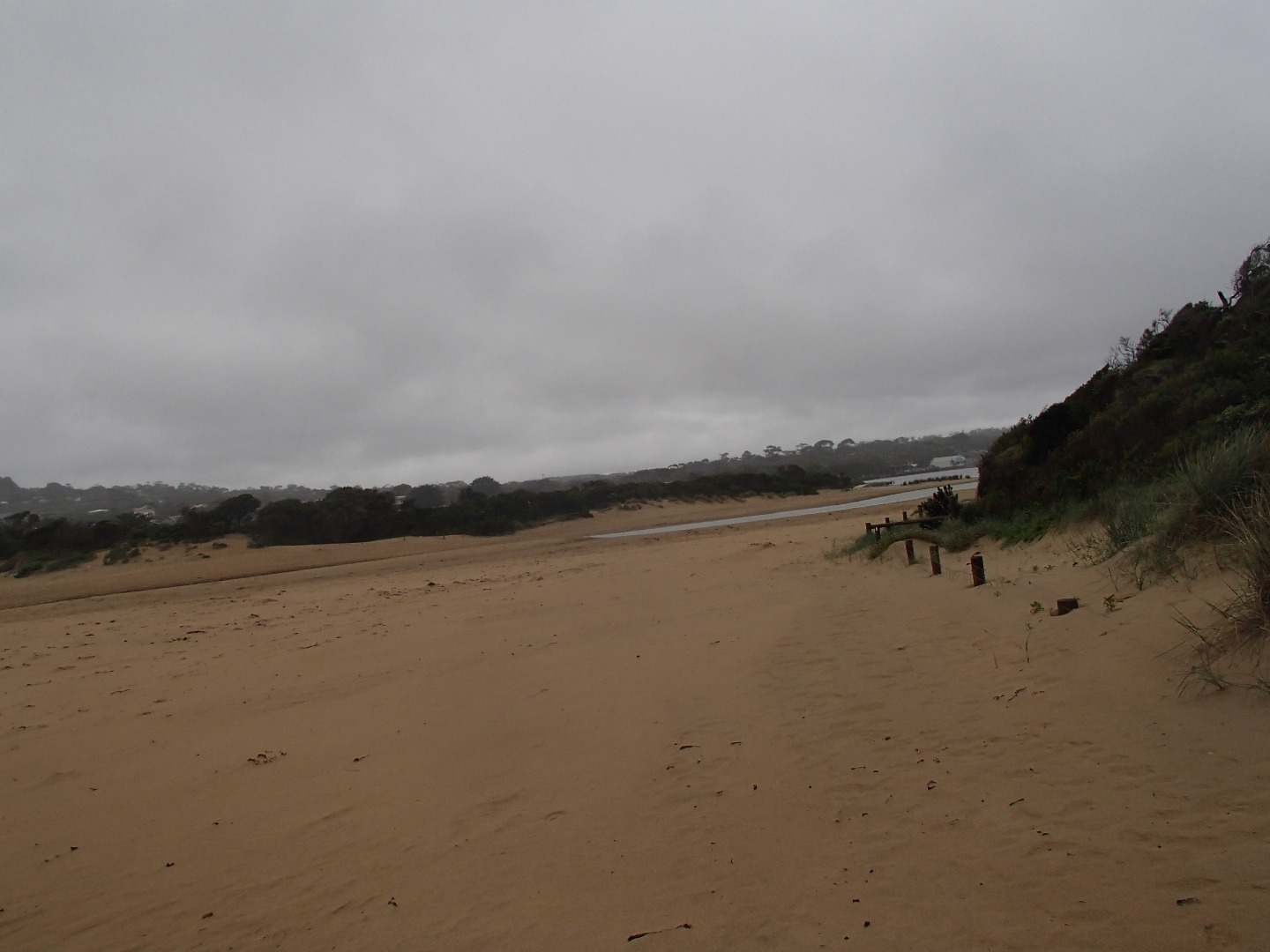
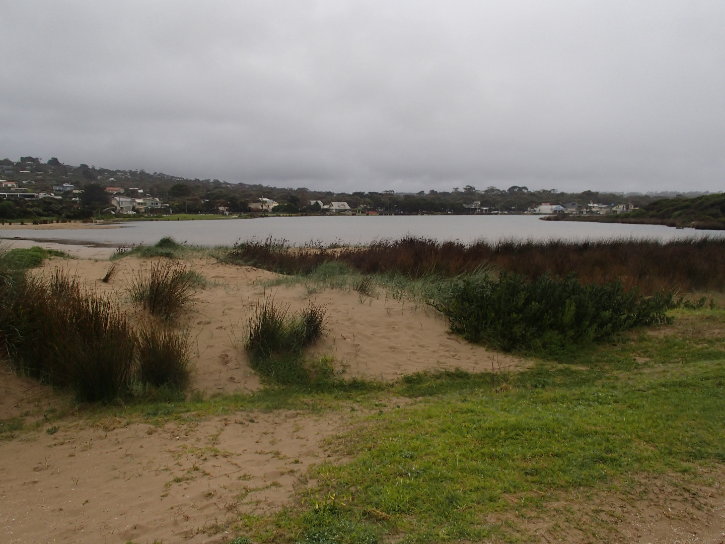
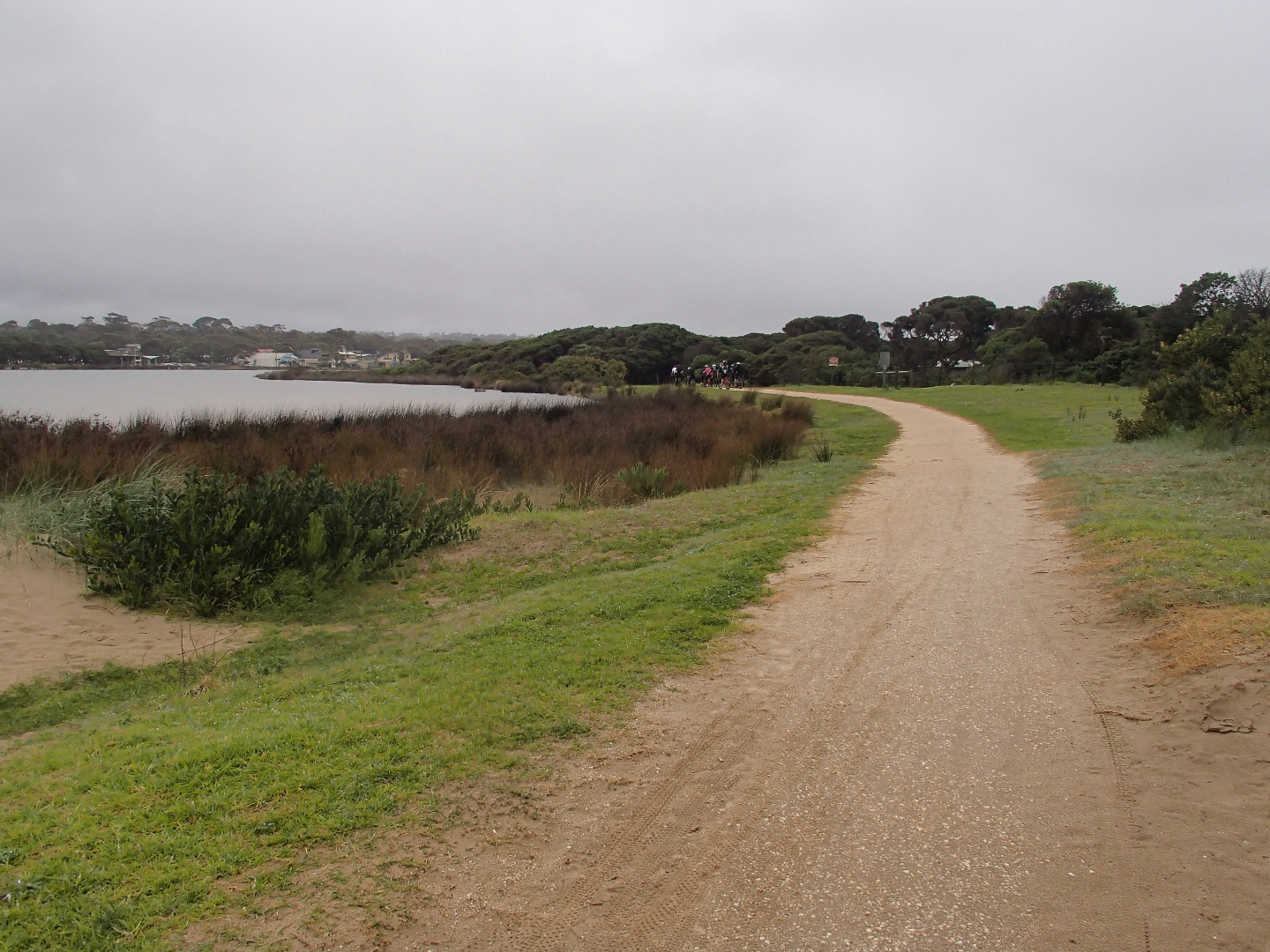
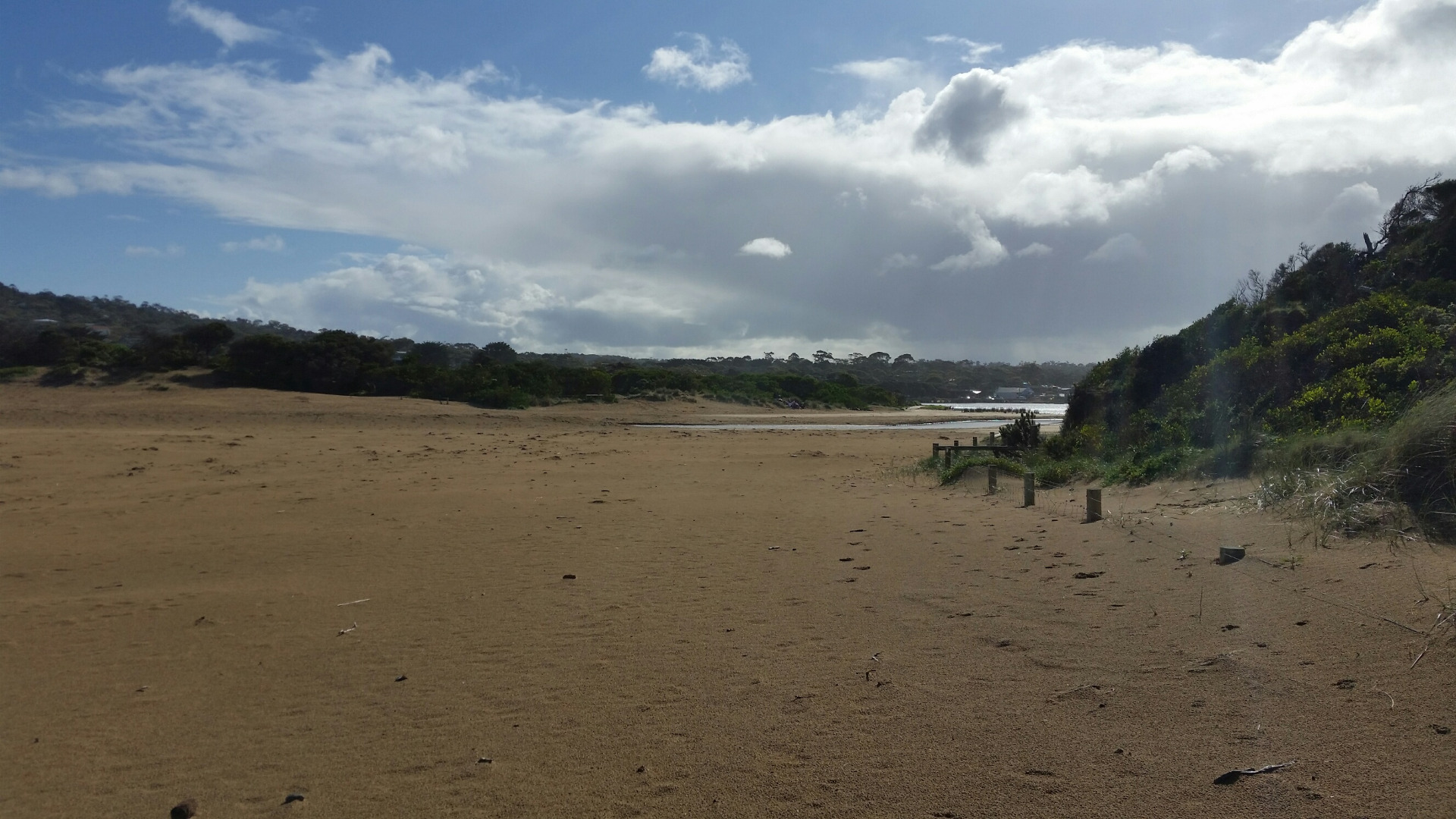
AMC Anglesea River Estuary Mouth Observation Site
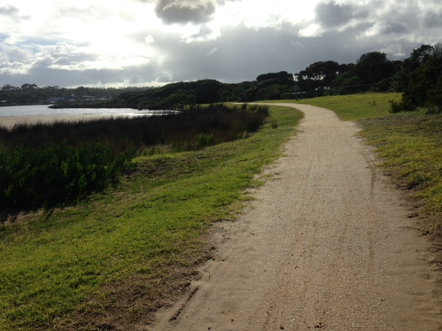
Active Mouth Condition 17-04-2007 - 17-04-2024Anglesea River Estuary
241 results found (Displaying 81 - 90)
| ID | Date | Status | Details | |
|---|---|---|---|---|
| #10838 | 15 Feb 2017 | Approved |
Notes:
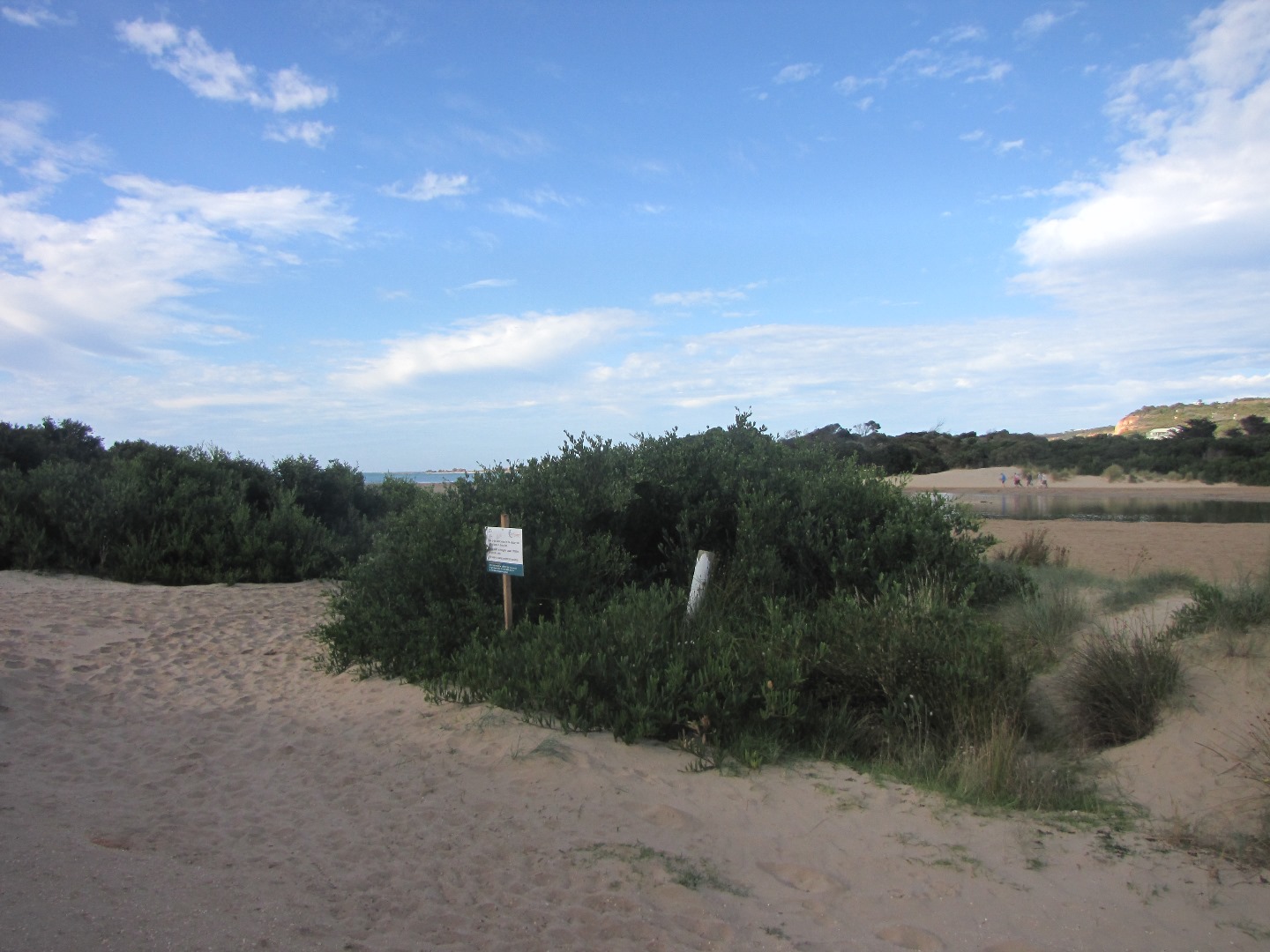
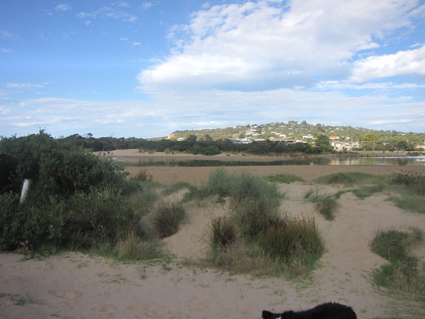
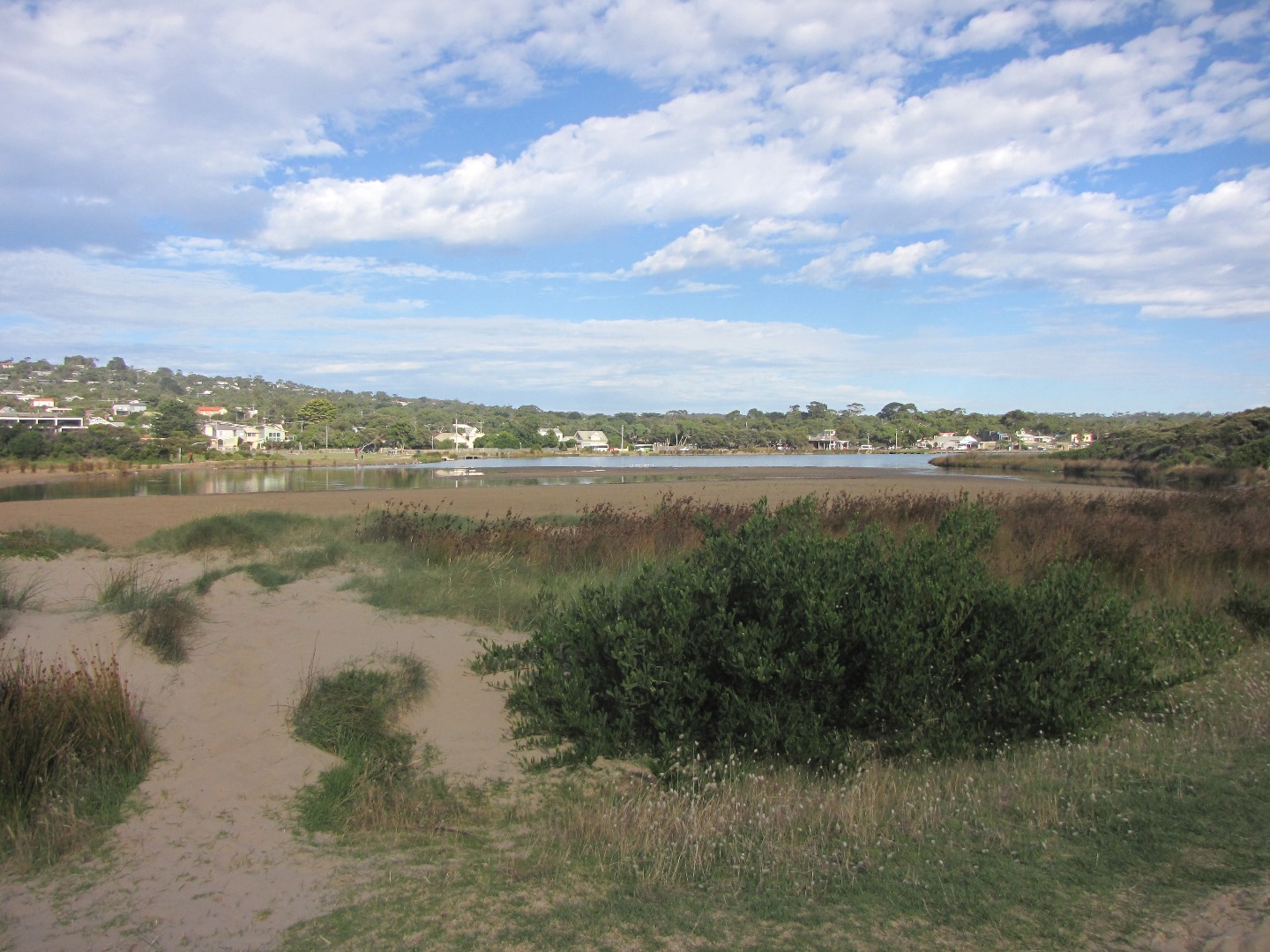
Sea water had flowed into river on the previous high tide Note Bush is obscuring photos from AP2 site. have included photos from a new location closer to the river! |
|
| #10728 | 18 Jan 2017 | Approved |
Notes:
wind may have impacted on height reading at bridge |
|
| #10630 | 14 Dec 2016 | Approved | ||
| #10572 | 23 Nov 2016 | Approved |
Notes:
White precipitate sitting on bottom |
|
| #12559 | 22 Nov 2016 | Approved |
Notes:
low tide, difficult to measure berm |
|
| #10444 | 19 Oct 2016 | Approved | ||
| #10770 | 21 Sep 2016 | Approved |
Notes:
|
|
| #10432 | 13 Sep 2016 | Approved |
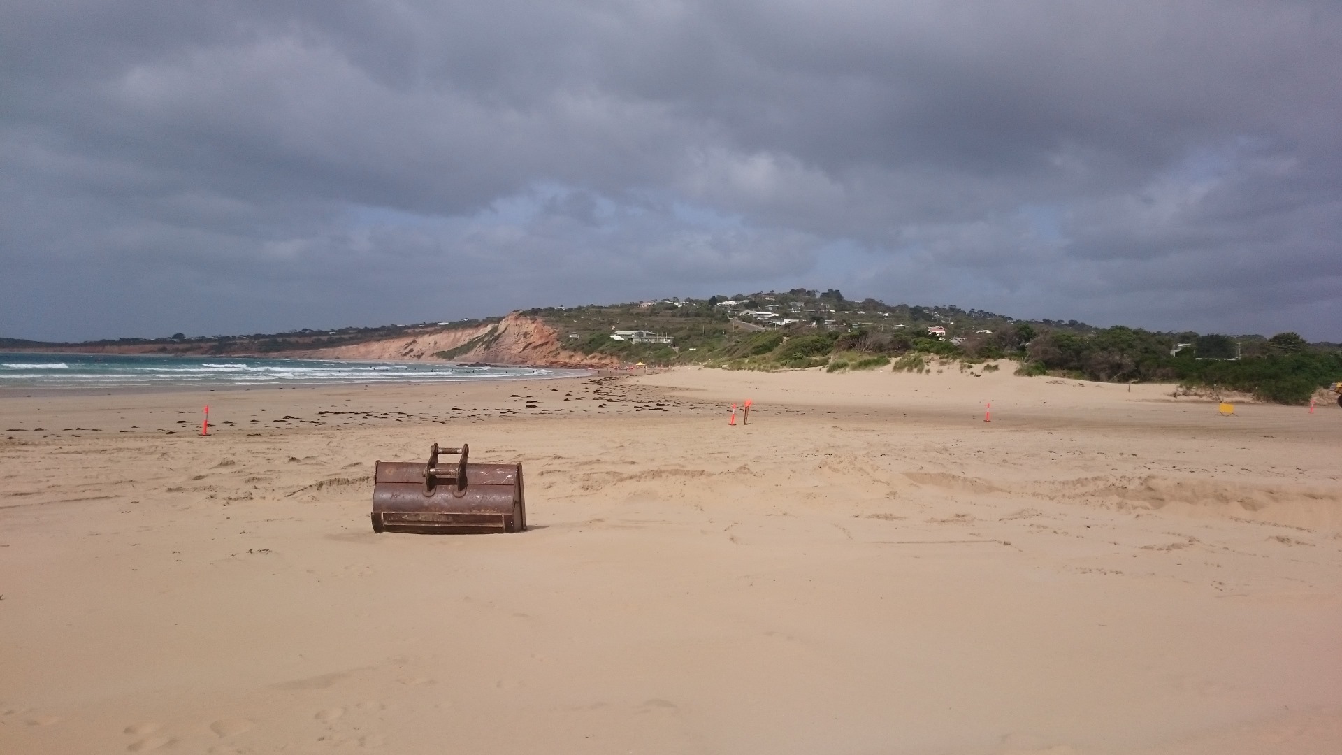
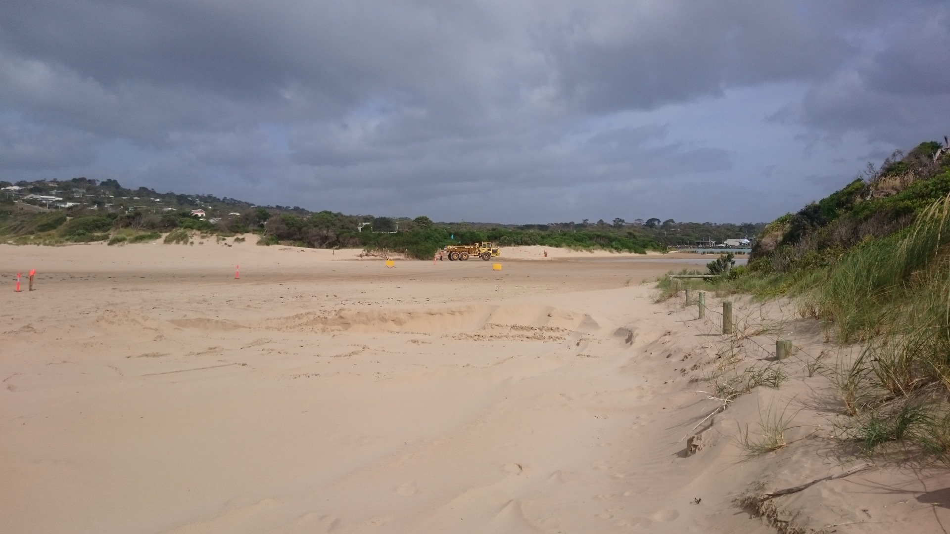
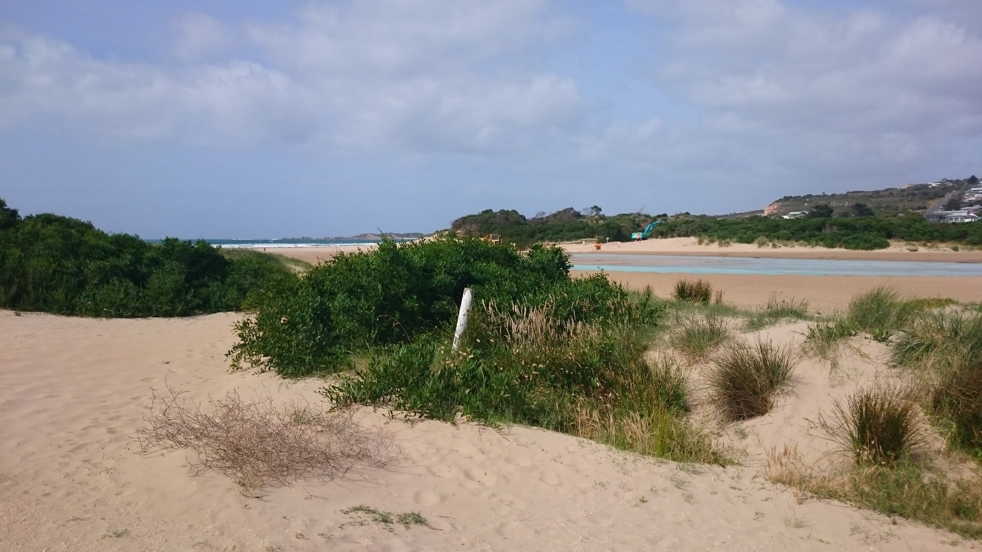
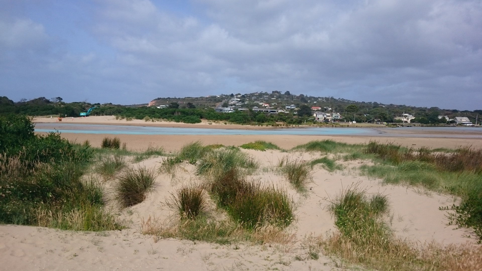
Notes:
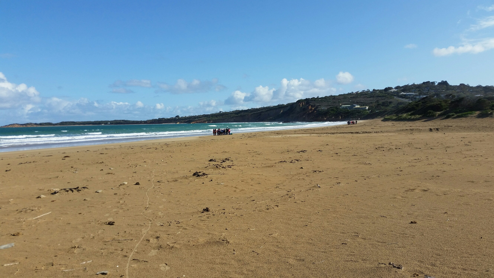
This datasheet was completed during a workshop with the Surf Coast Green Army team. The estuary was artificially opened earlier that day. The digger was still operating when we arrived at the estuary mouth at 9:30am. On this occoasion no photopoint photos were taken because it was unsafe to cross the estuary mouth. See photos. 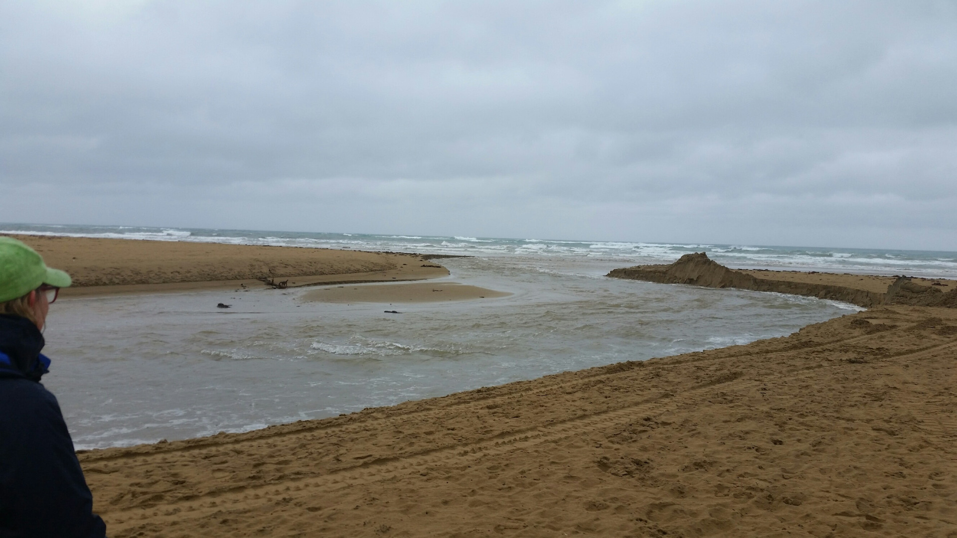 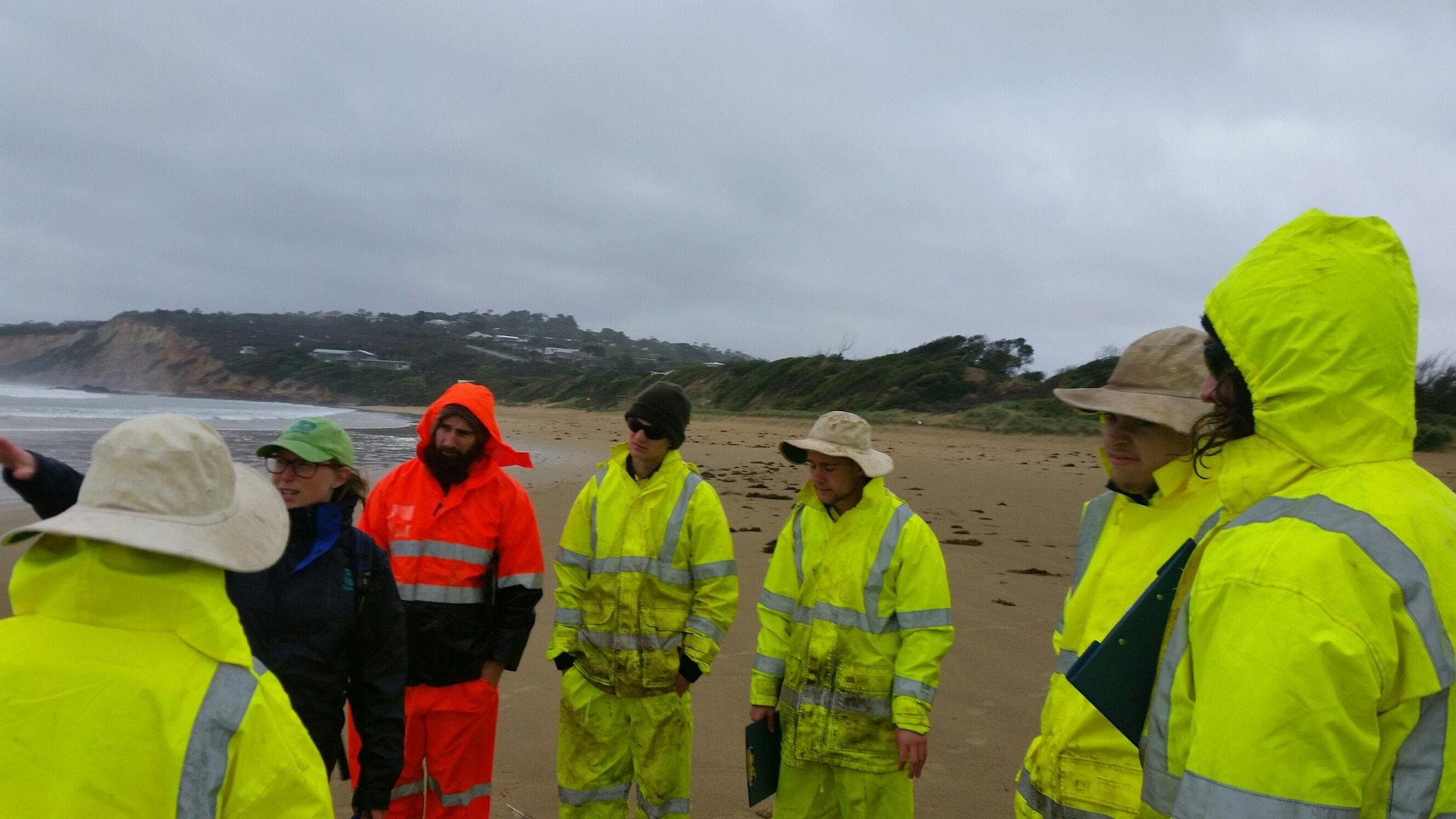 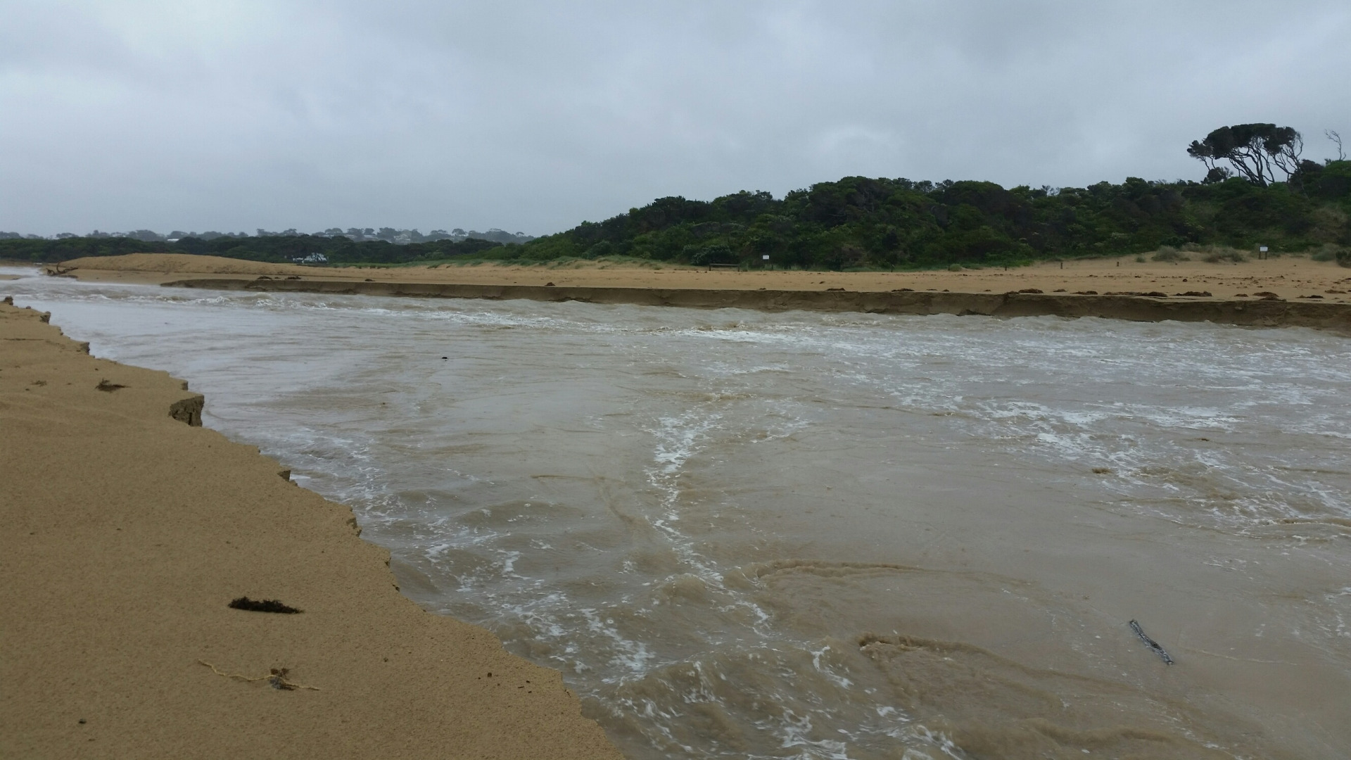 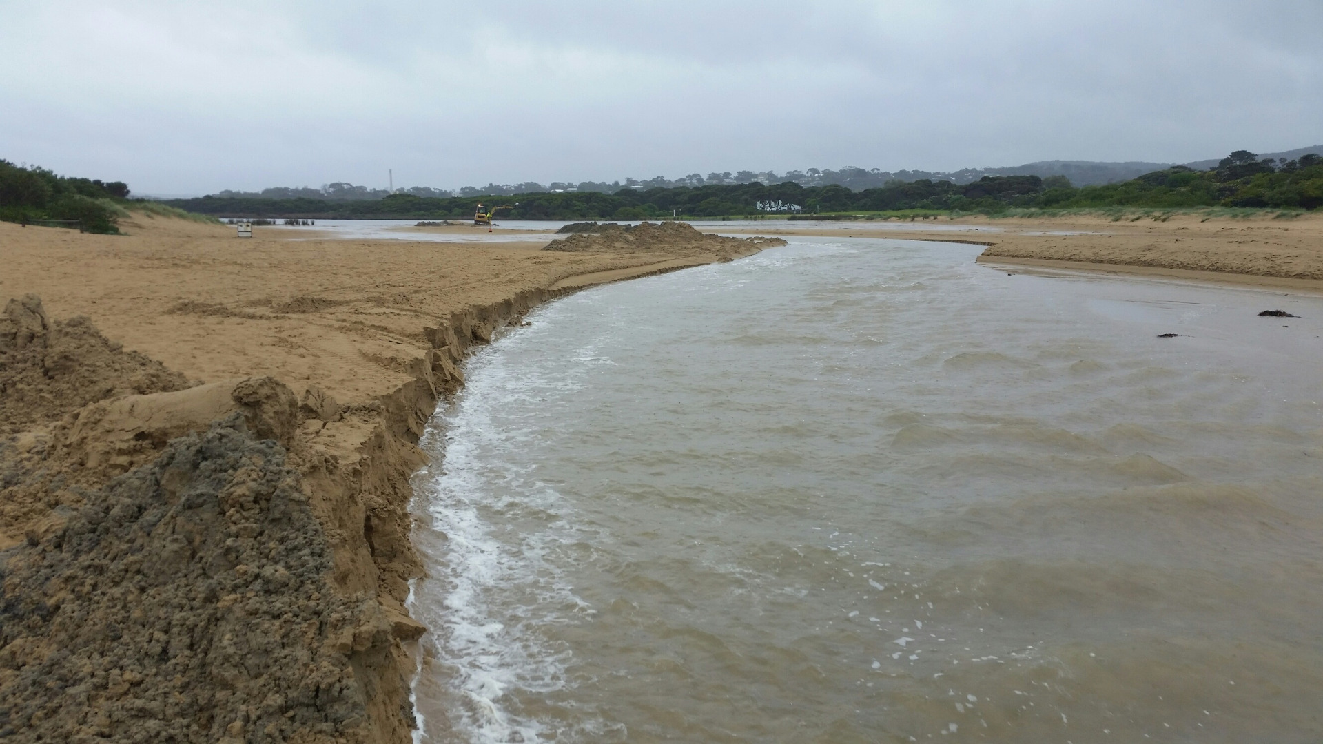 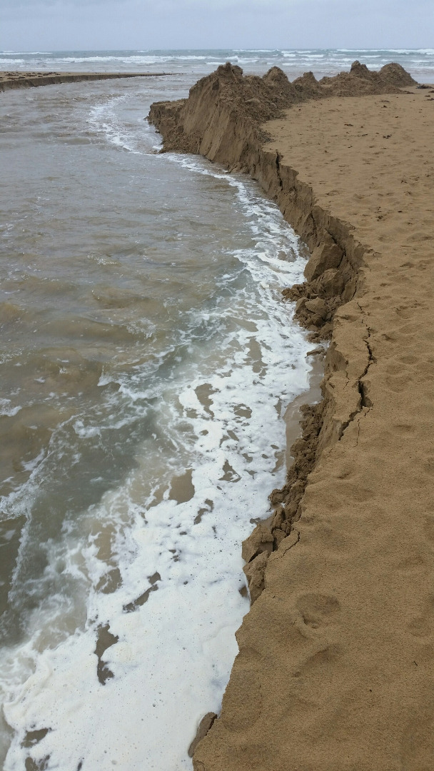 |
|
| #10433 | 12 Sep 2016 | Approved | ||
| #10693 | 25 Aug 2016 | Approved | ||


All content, files, data and images provided by the EstuaryWatch Data Portal and Gallery are subject to a Creative Commons Attribution License
Content is made available to be used in any way, and should always attribute EstuaryWatch and www.estuarywatch.org.au