EstuaryWatch Data Portal
BmMC Barham River Observation Site
15 December 2015
Observation details
Overview
| Estuary | Barham River Estuary |
|---|---|
| Site | Barham River Observation Site |
| Observation ID | #10010 |
| Date and Time | Tuesday 15th December 2015 14:37pm |
| Approved | Approved |
Notes
Rainfall last 48 hours 0mm, Atmospheric Pressure 1016 hPa
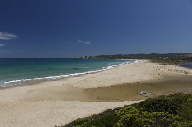
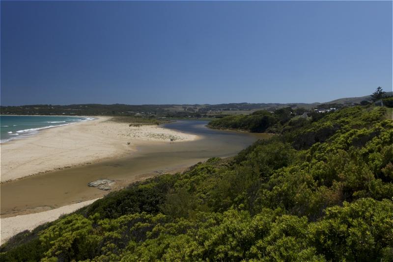
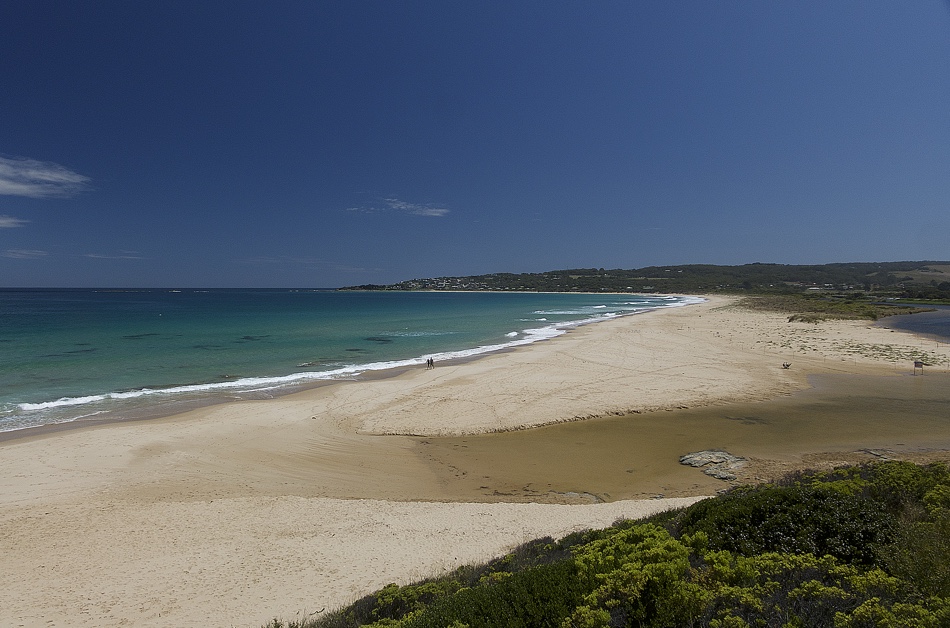
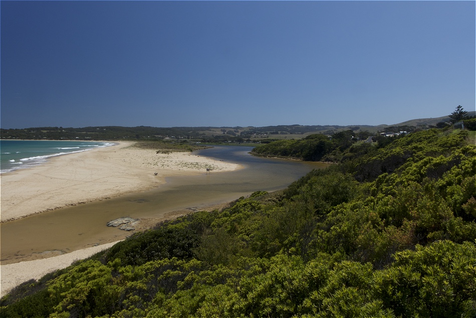
Vegetation has established along the berm opposite the fishing platform and towards the mouth
Water stain on river banks at the mouth suggests river level has been higher during the last 24 hours, suggesting the river level has been higher, possibly due to wave intrusion at high tide (1.66m ) at 03:05
Mouth Observation
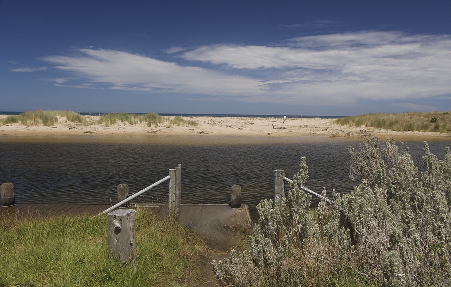
| Mouth state | Closed |
|---|---|
| Previous | O C C O O O O O O O |
| Flow Present? | No |
| Previous | Y N N Y Y Y Y Y Y Y |
| Flow Direction | N/A |
| Previous | O N N I I I O I I O |
| Above Sea | Above Estuary | |
|---|---|---|
| Berm Height (m) | 0.8m | 0.3m |
| Berm Length (m) |
Physical Condition
| Current | Mode | |
|---|---|---|
| Wind Direction | East | East |
| Beaufort Scale | Gentle breeze | Strong breeze |
| Sea State | Slight |


All content, files, data and images provided by the EstuaryWatch Data Portal and Gallery are subject to a Creative Commons Attribution License
Content is made available to be used in any way, and should always attribute EstuaryWatch and www.estuarywatch.org.au