EstuaryWatch Data Portal
Observation details
Overview
| Estuary | Barham River Estuary |
|---|---|
| Site | Barham River Observation Site |
| Observation ID | #10076 |
| Date and Time | Friday 15th January 2016 16:14pm |
| Approved | Approved |
Notes
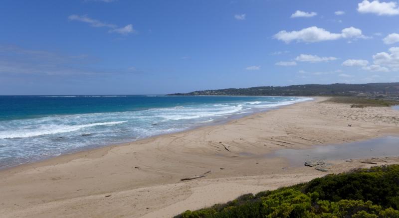
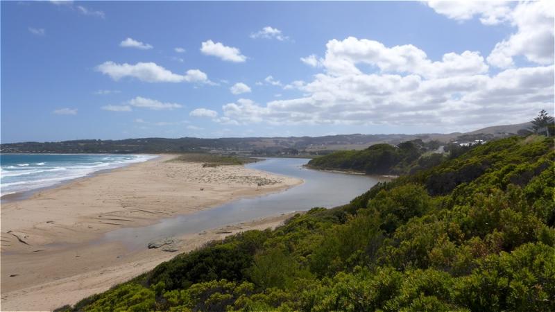
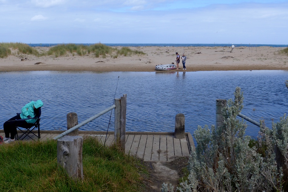
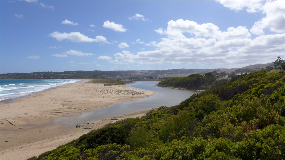
Rainfall last 48 hours 4.2mm. Atmospheric Prressure 1032.5 hPa. Water stain on sandbank sugests the river level rose with the higher tide of 1.67 @04.06am, with rough waves surmounting the the berm at the mouth. Berm along the beach front is spotted with pioneering plants, and has been fenced off for hooded plovers nesting. Berm length 65.5m.
Mouth Observation
| Mouth state | Closed |
|---|---|
| Previous | C C O O O O O O O C |
| Flow Present? | No |
| Previous | N N Y Y Y Y Y Y Y N |
| Flow Direction | N/A |
| Previous | N N I I I O I I O N |
| Above Sea | Above Estuary | |
|---|---|---|
| Berm Height (m) | 0.8m | 0.5m |
| Berm Length (m) |
Physical Condition
| Current | Mode | |
|---|---|---|
| Wind Direction | South | South |
| Beaufort Scale | Moderate breeze | Gentle breeze |
| Sea State | Rough |


All content, files, data and images provided by the EstuaryWatch Data Portal and Gallery are subject to a Creative Commons Attribution License
Content is made available to be used in any way, and should always attribute EstuaryWatch and www.estuarywatch.org.au