EstuaryWatch Data Portal
Observation details
Overview
| Estuary | Barham River Estuary |
|---|---|
| Site | Barham River Observation Site |
| Observation ID | #11365 |
| Date and Time | Sunday 30th July 2017 14:20pm |
| Approved | Approved |
Notes
Rainfall past 48 hrs = 1 mm; Atmospheric pressure = 1008.6 hPa
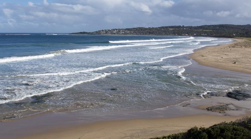
Heavy winds previous day; large ocean swells.
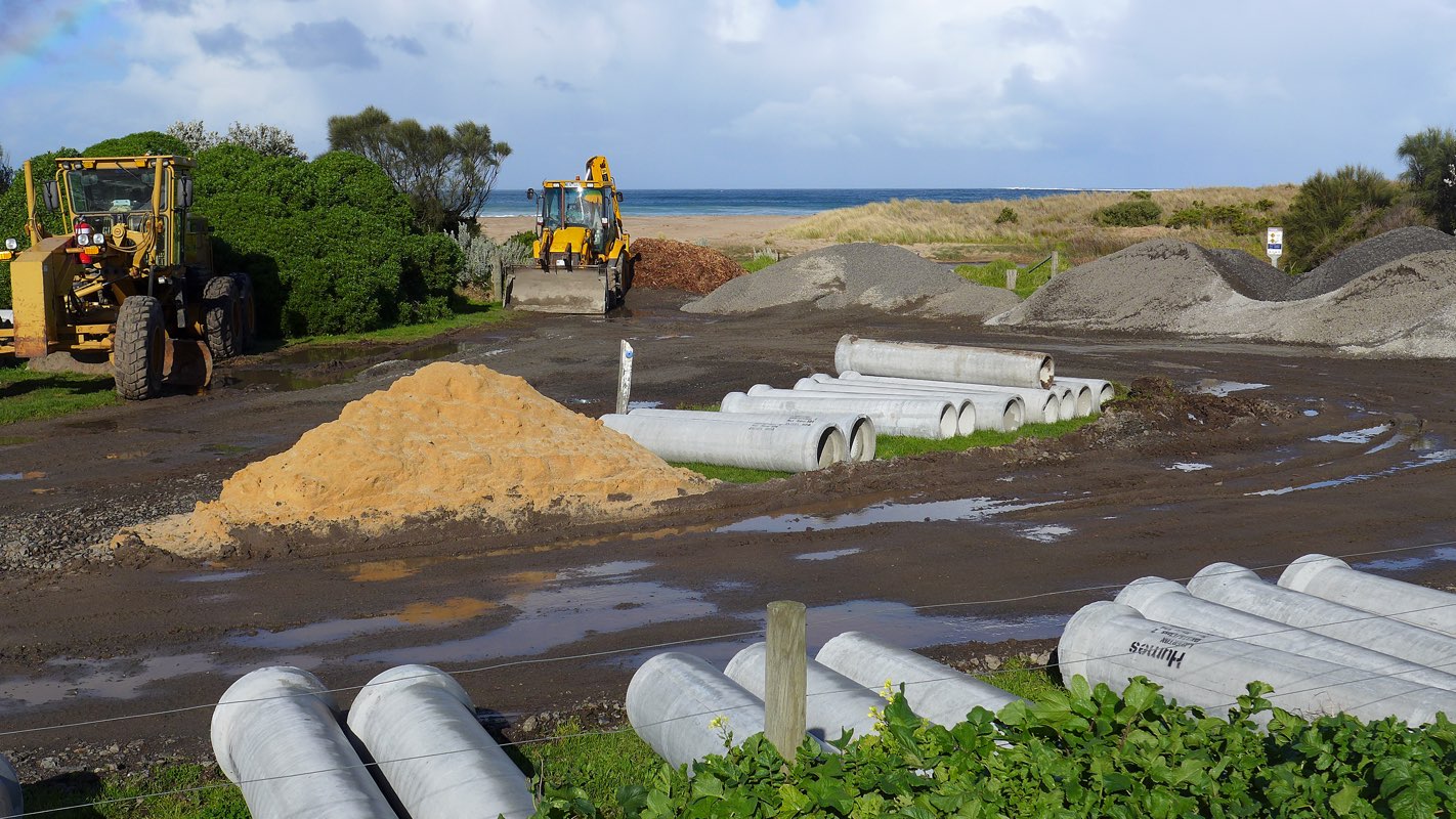
Carpark at bridge observation point BmP2 is being intensively used for the storage of excavator plant machinery and gravel for ongoing drainage and sewage works. It appears that this work will continue for some months. See added photo attached.
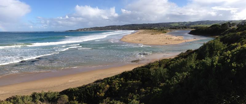
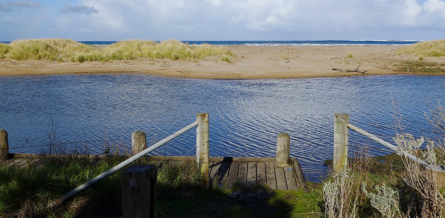
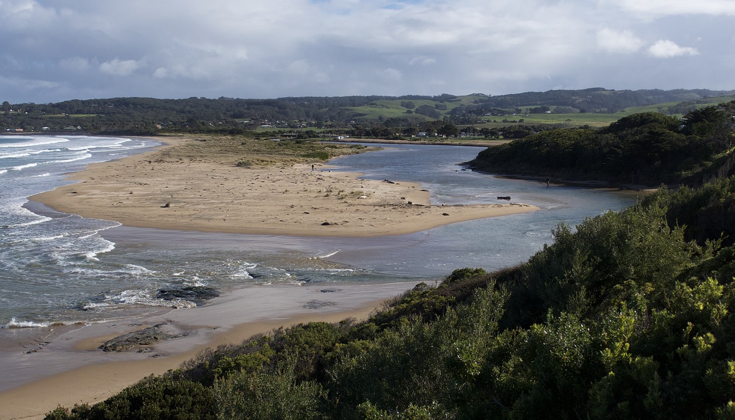
Mouth Observation
| Mouth state | Open |
|---|---|
| Previous | O O O O O O O O O O O |
| Flow Present? | Yes |
| Previous | Y Y Y Y Y Y N Y Y Y Y |
| Flow Direction | In |
| Previous | O I O O O O N I O I O |
| Above Sea | Above Estuary | |
|---|---|---|
| Berm Height (m) | ||
| Berm Length (m) |
Physical Condition
| Current | Mode | |
|---|---|---|
| Wind Direction | West | |
| Beaufort Scale | Gentle breeze | |
| Sea State | Very Rough |


All content, files, data and images provided by the EstuaryWatch Data Portal and Gallery are subject to a Creative Commons Attribution License
Content is made available to be used in any way, and should always attribute EstuaryWatch and www.estuarywatch.org.au