EstuaryWatch Data Portal
Observation details
Overview
| Estuary | Barham River Estuary |
|---|---|
| Site | Barham River Observation Site |
| Observation ID | #11397 |
| Date and Time | Sunday 20th August 2017 09:35am |
| Approved | Approved |
Notes
4.0 mm rain during past 48 hrs; Atm. press = 1026 hPa.
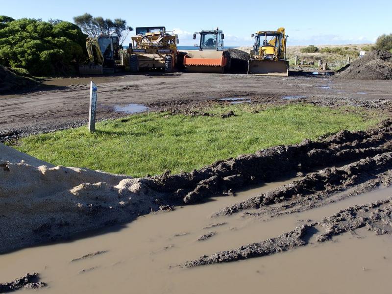
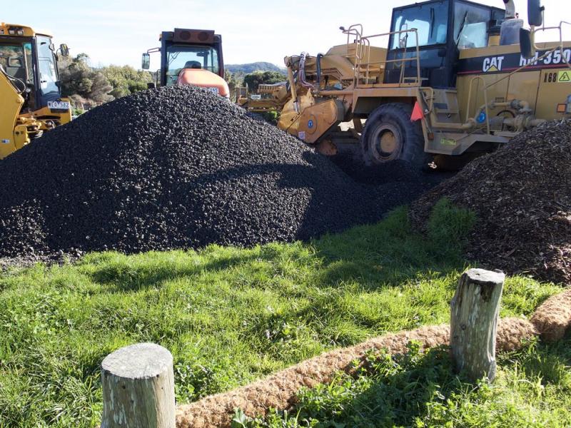
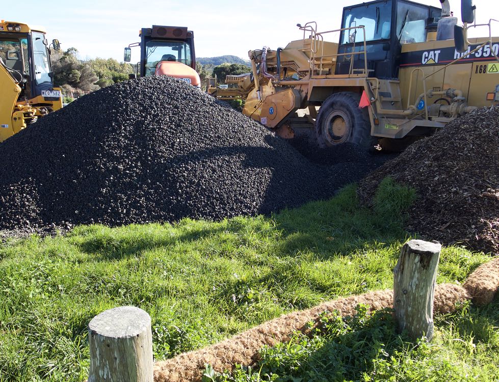
Carpark at bridge continues to be used as base for ongoing drain and roadworks. Rolls of coir matting have been laid around the area to restrict run-off into the estuary. (See pix.)
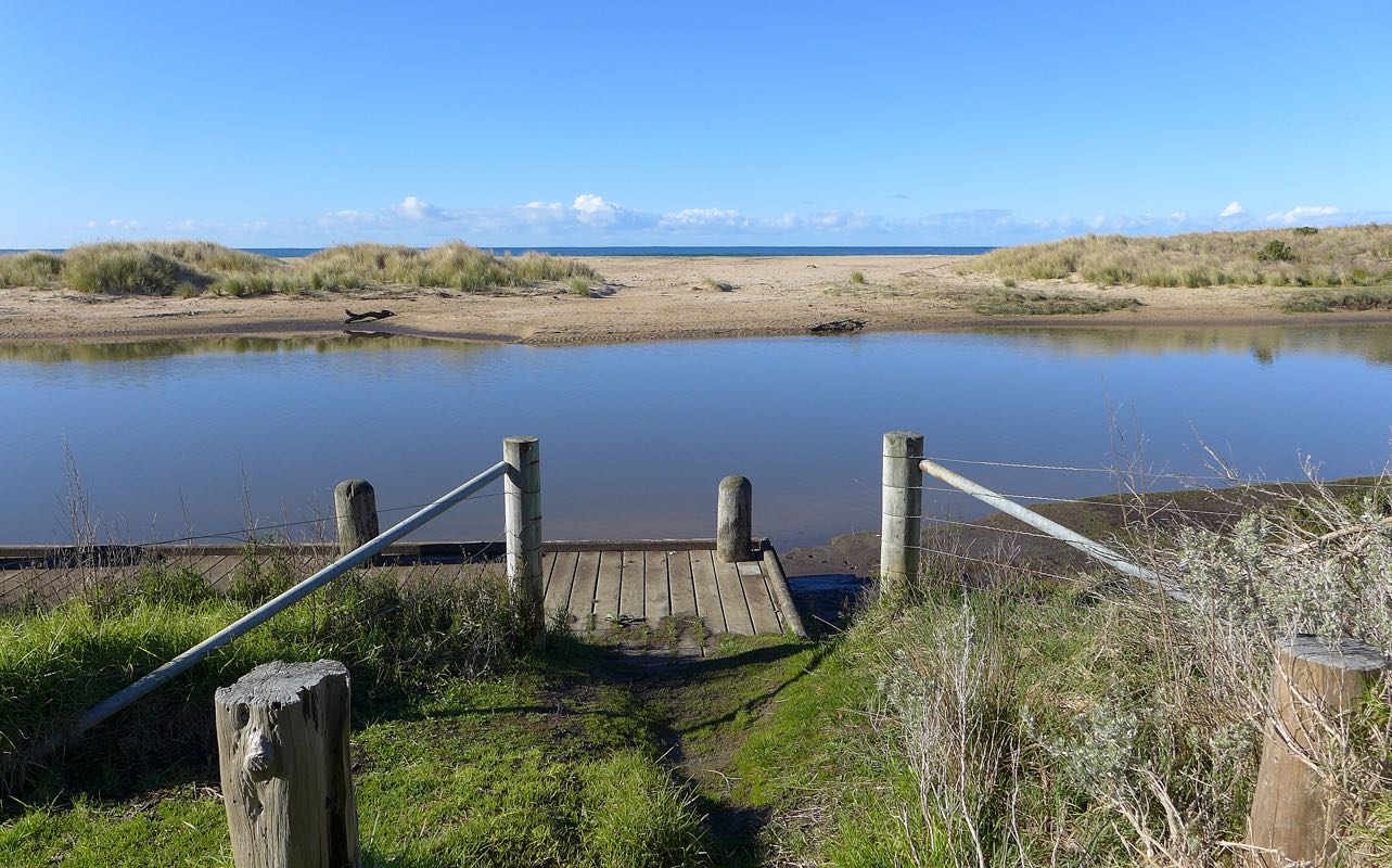
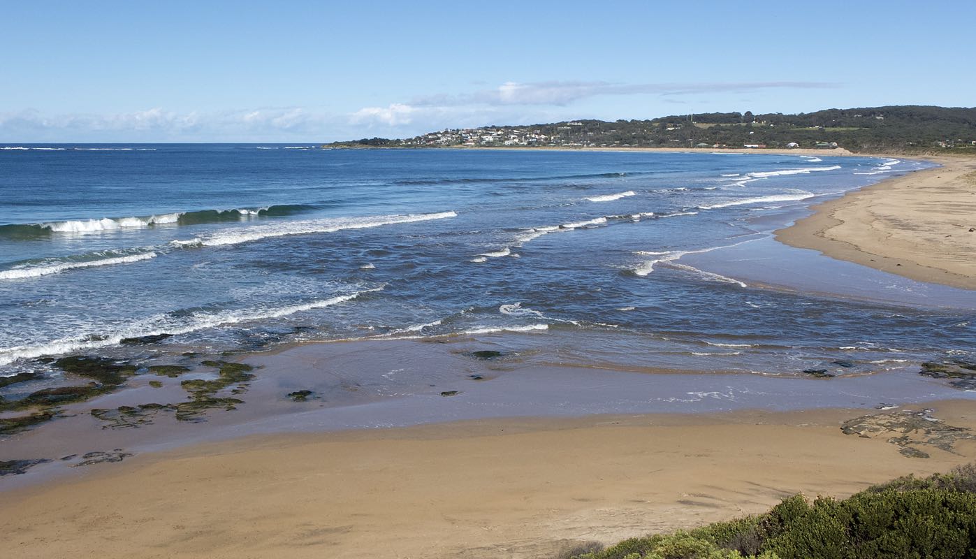
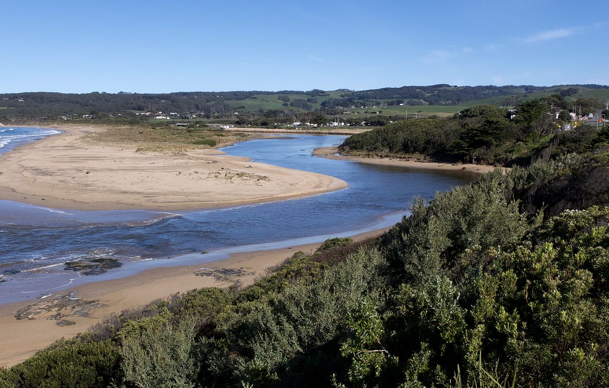
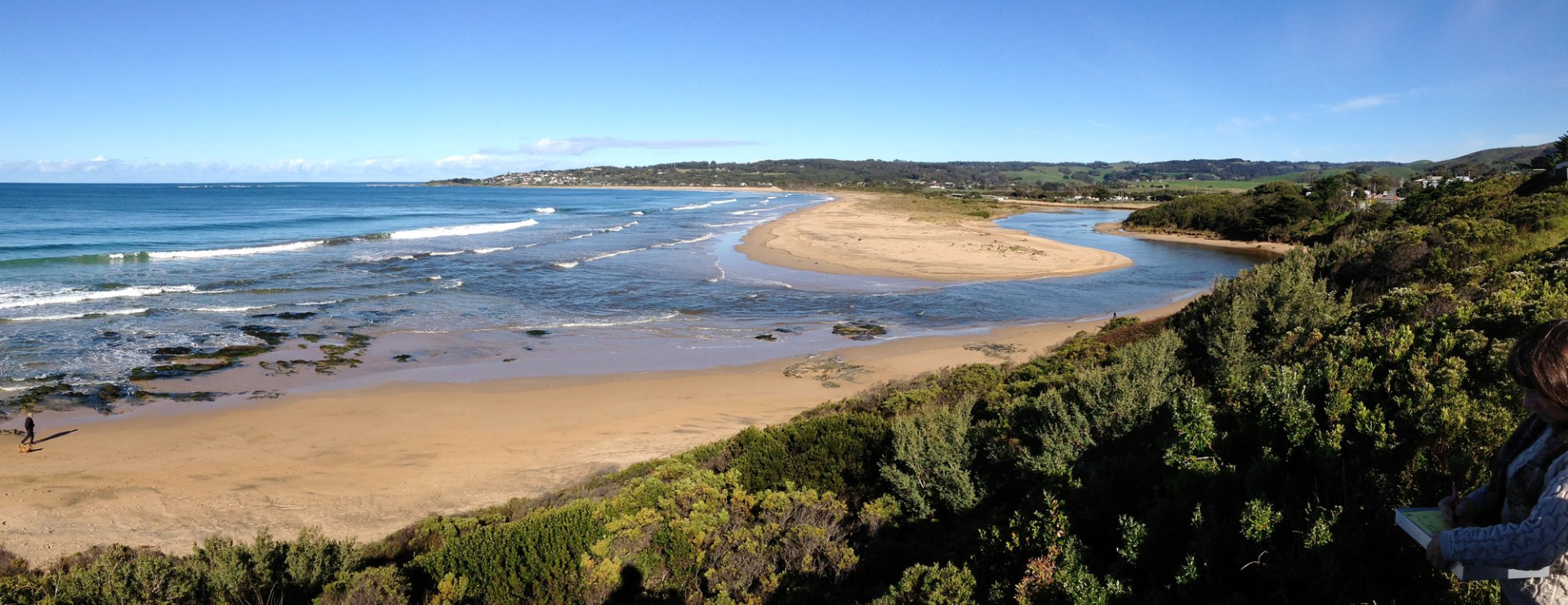
Due to heavy rain in catchment over the past week, river mouth is wide with consistent outflow.
Mouth Observation
| Mouth state | Open |
|---|---|
| Previous | O O O O O O O O O O O |
| Flow Present? | Yes |
| Previous | Y Y Y Y Y N Y Y Y Y Y |
| Flow Direction | Out |
| Previous | I O O O O N I O I O I |
| Above Sea | Above Estuary | |
|---|---|---|
| Berm Height (m) | ||
| Berm Length (m) |
Physical Condition
| Current | Mode | |
|---|---|---|
| Wind Direction | North-West | North |
| Beaufort Scale | Light Air | Moderate breeze |
| Sea State | Slight |


All content, files, data and images provided by the EstuaryWatch Data Portal and Gallery are subject to a Creative Commons Attribution License
Content is made available to be used in any way, and should always attribute EstuaryWatch and www.estuarywatch.org.au