EstuaryWatch Data Portal
GMC Gellibrand River Estuary Mouth Observation Site
22 June 2012
CAUTION: This observation has not yet been reviewed by an EstuaryWatch coordinator.
Observation details
Overview
| Estuary | Gellibrand River Estuary |
|---|---|
| Site | Gellibrand River Estuary Mouth Observation Site |
| Observation ID | #7342 |
| Date and Time | Friday 22nd June 2012 11:05am |
| Approved | Pending |
Notes
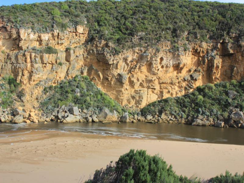
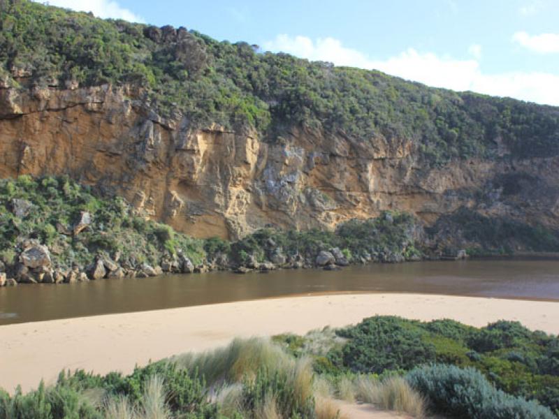
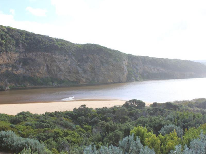
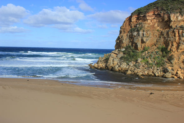
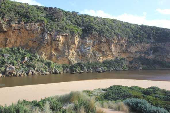
1. Dark discharge flowing out around mouth
2. Wind driven sand & waves bringing more sand to mouth build up near rocks has increased reducing outflow on east side
3.Waves entering & scouring out southside of estuary moving 7m. long log about 30m. to east
4. Formerly high banks to channel & beach reduced from wave action
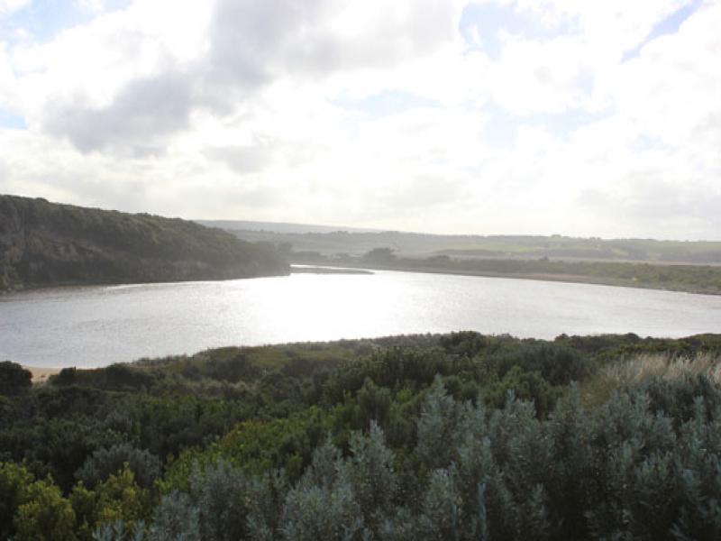
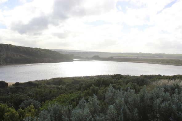
5. Dunes changing shape with wind action
Mouth Observation
| Mouth state | Open |
|---|---|
| Previous | O O O O O O O O O O O O O O O O O O O O O O O O O O O O O O C O O O C O O O O O P P P C O P O O O P O O O |
| Flow Present? | Yes |
| Previous | Y Y Y Y Y Y Y Y Y Y Y Y Y Y Y Y Y Y Y Y Y Y Y Y Y Y Y Y Y Y N Y Y Y N Y Y Y Y Y Y N N N Y N Y Y Y Y Y Y Y |
| Flow Direction | Out |
| Previous | O O O O O O O O O O O O O O O O O O O O O O O O O O O O N O O O N O O O O O I N N N I N I I O I O O O |
| Above Sea | Above Estuary | |
|---|---|---|
| Berm Height (m) | ||
| Berm Length (m) |
Physical Condition
| Current | Mode | |
|---|---|---|
| Wind Direction | South | |
| Beaufort Scale | Strong breeze | |
| Sea State | Rough |


All content, files, data and images provided by the EstuaryWatch Data Portal and Gallery are subject to a Creative Commons Attribution License
Content is made available to be used in any way, and should always attribute EstuaryWatch and www.estuarywatch.org.au