EstuaryWatch Data Portal
GMC Gellibrand River Estuary Mouth Observation Site
5 July 2012
Observation details
Overview
| Estuary | Gellibrand River Estuary |
|---|---|
| Site | Gellibrand River Estuary Mouth Observation Site |
| Observation ID | #7403 |
| Date and Time | Thursday 5th July 2012 11:35am |
| Approved | Approved |
Notes
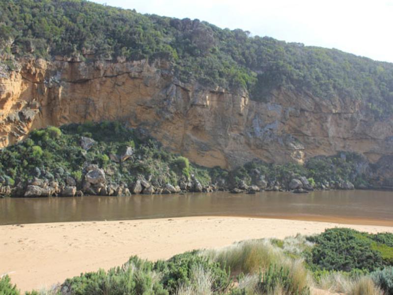
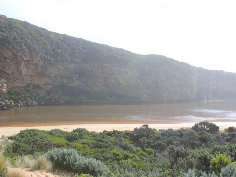
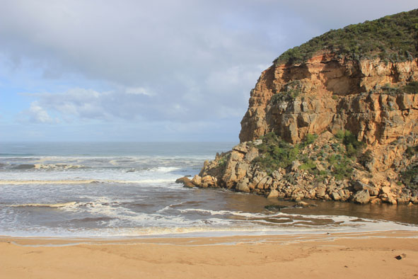
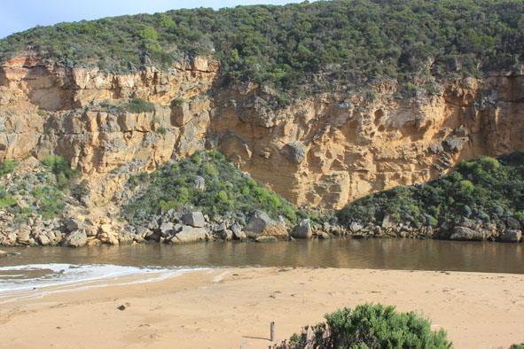
1. Strong dark discharge over wide area, out to sea, to west along cliff & along foreshore to east
2.Waves in all directions at mouth
3.Waves entering estuary, scouring south & south east side - large saw log moved over 30m to east
4.Steep front to beach (to 2.50m.) west end of beach where waves impact and turn toward mouth
5. Increase of Gladiolus undulatus on low track
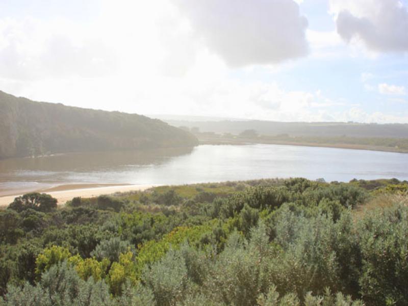
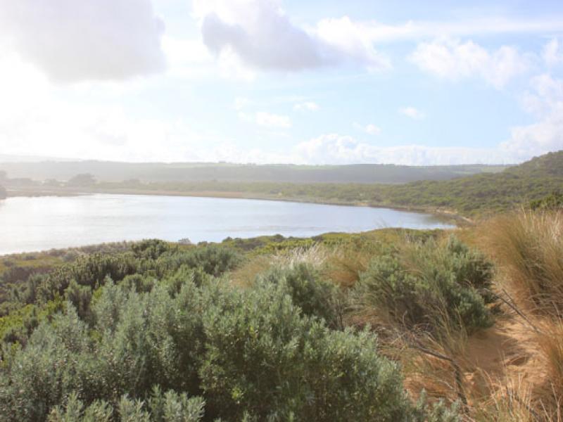
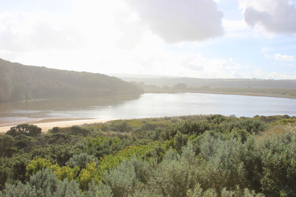
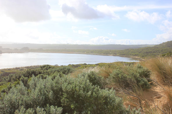
Mouth Observation
| Mouth state | Open |
|---|---|
| Previous | O O O O O O O O O O O O O O O O O O O O O O O O O O O O C O O O C O O O O O P P P C O P O O O P O O O O |
| Flow Present? | Yes |
| Previous | Y Y Y Y Y Y Y Y Y Y Y Y Y Y Y Y Y Y Y Y Y Y Y Y Y Y Y Y N Y Y Y N Y Y Y Y Y Y N N N Y N Y Y Y Y Y Y Y Y |
| Flow Direction | Out |
| Previous | O O O O O O O O O O O O O O O O O O O O O O O O O O N O O O N O O O O O I N N N I N I I O I O O O O |
| Above Sea | Above Estuary | |
|---|---|---|
| Berm Height (m) | ||
| Berm Length (m) |
Physical Condition
| Current | Mode | |
|---|---|---|
| Wind Direction | South | |
| Beaufort Scale | Light Breeze | |
| Sea State | Rough |


All content, files, data and images provided by the EstuaryWatch Data Portal and Gallery are subject to a Creative Commons Attribution License
Content is made available to be used in any way, and should always attribute EstuaryWatch and www.estuarywatch.org.au