EstuaryWatch Data Portal
Overview
| Estuary name | Gellibrand River Estuary |
|---|---|
| CMA | Corangamite CMA |
| Description |
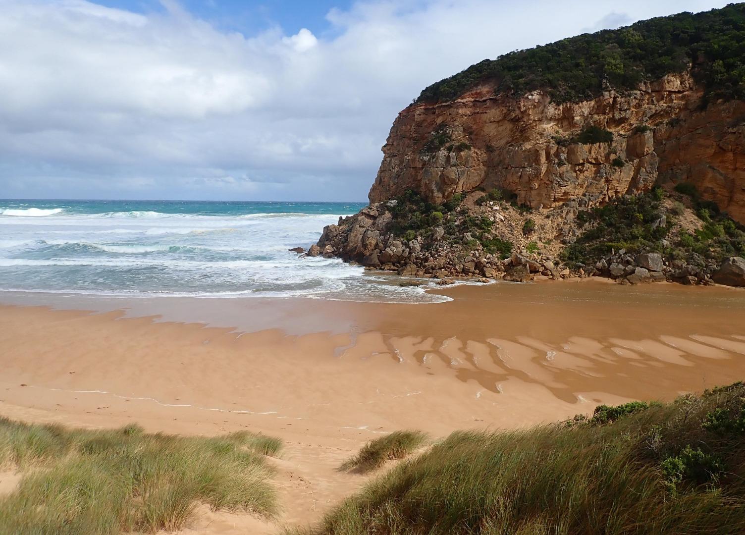
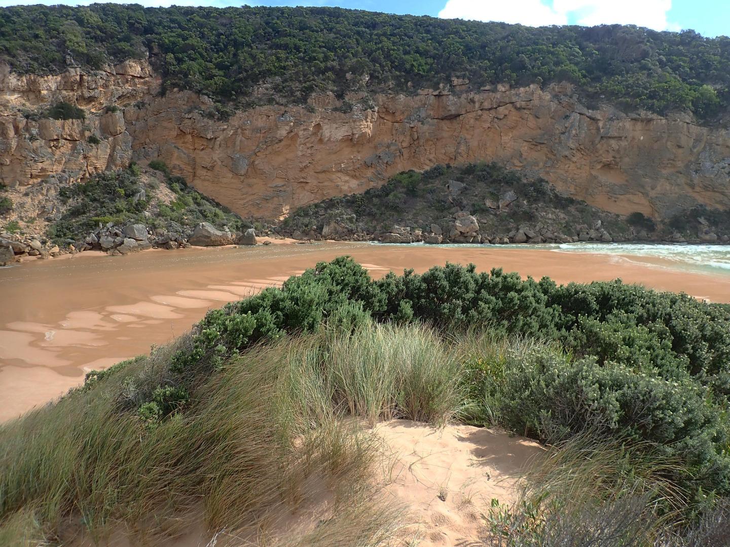
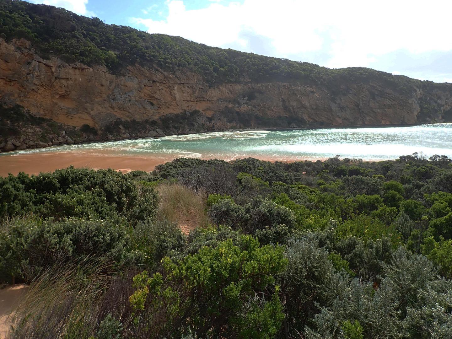
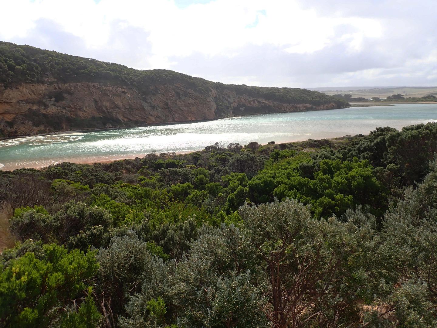
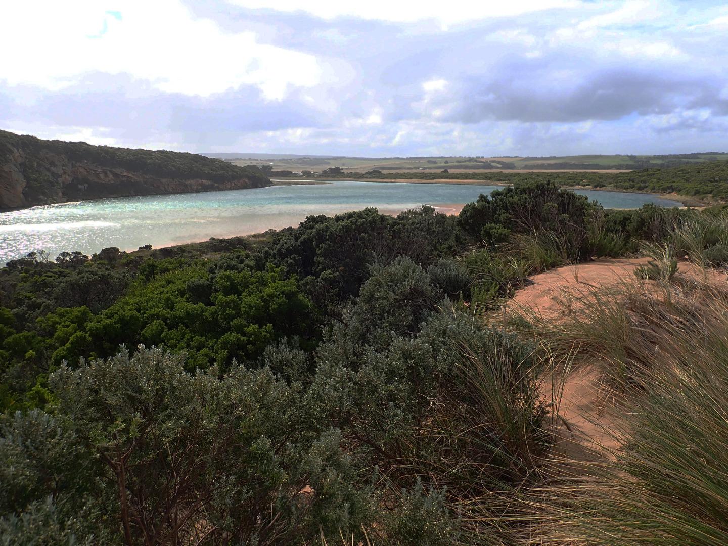
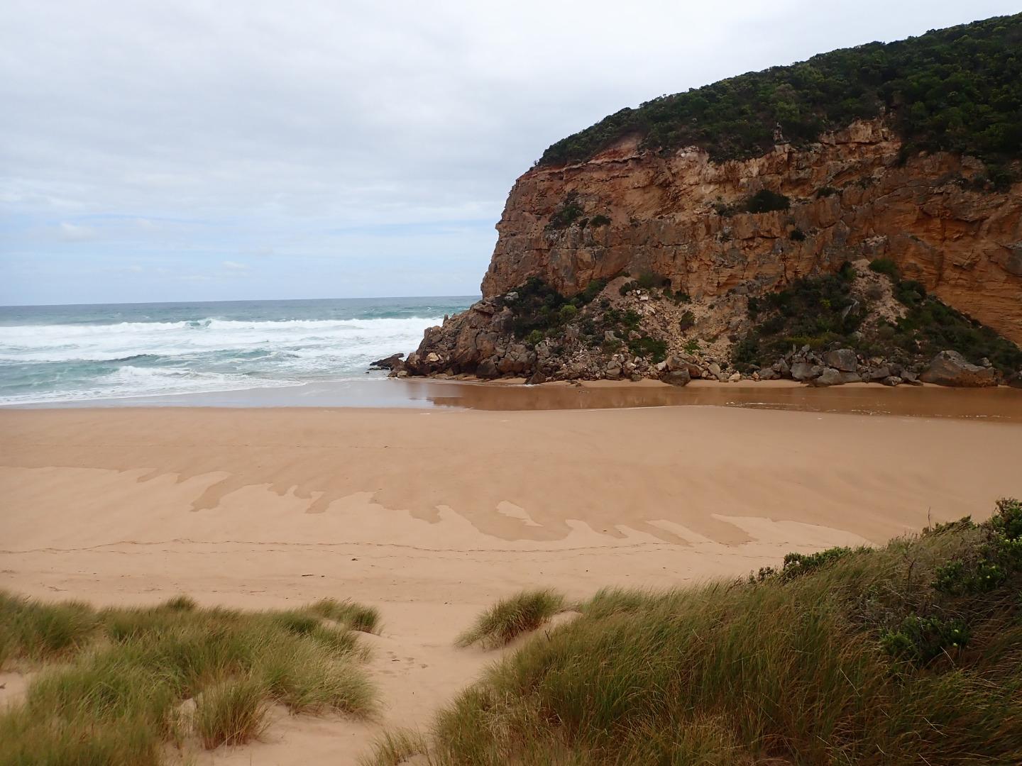
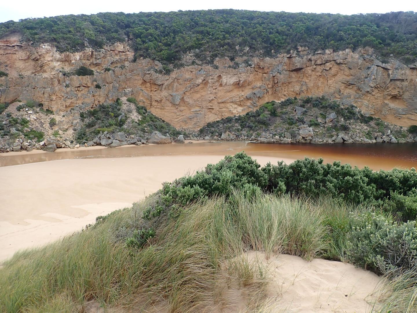
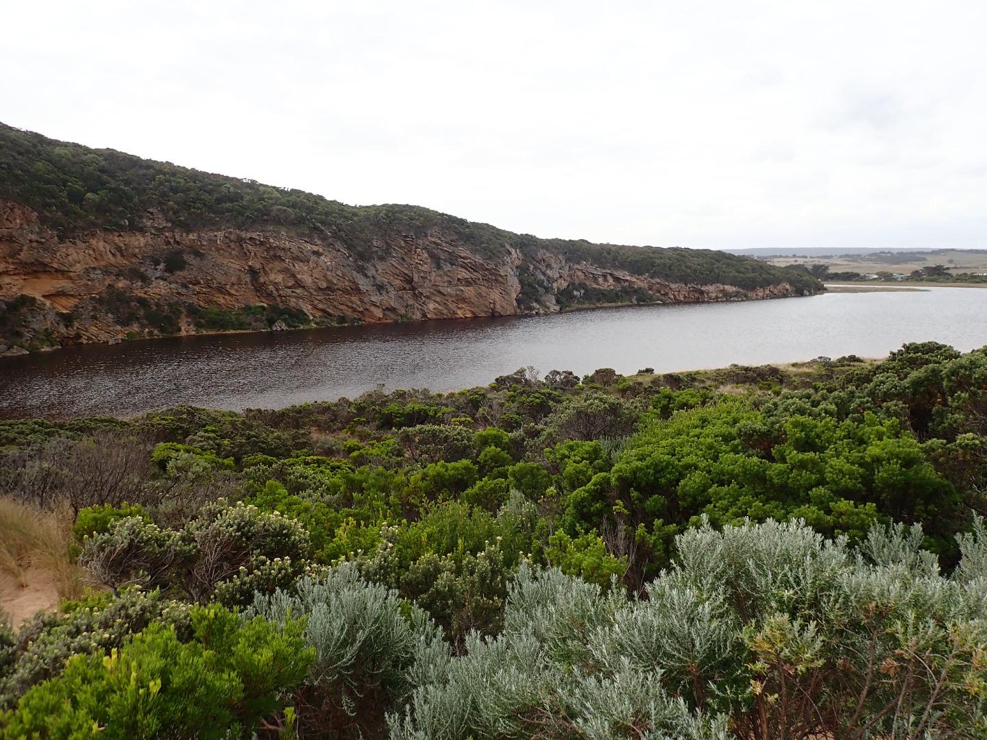
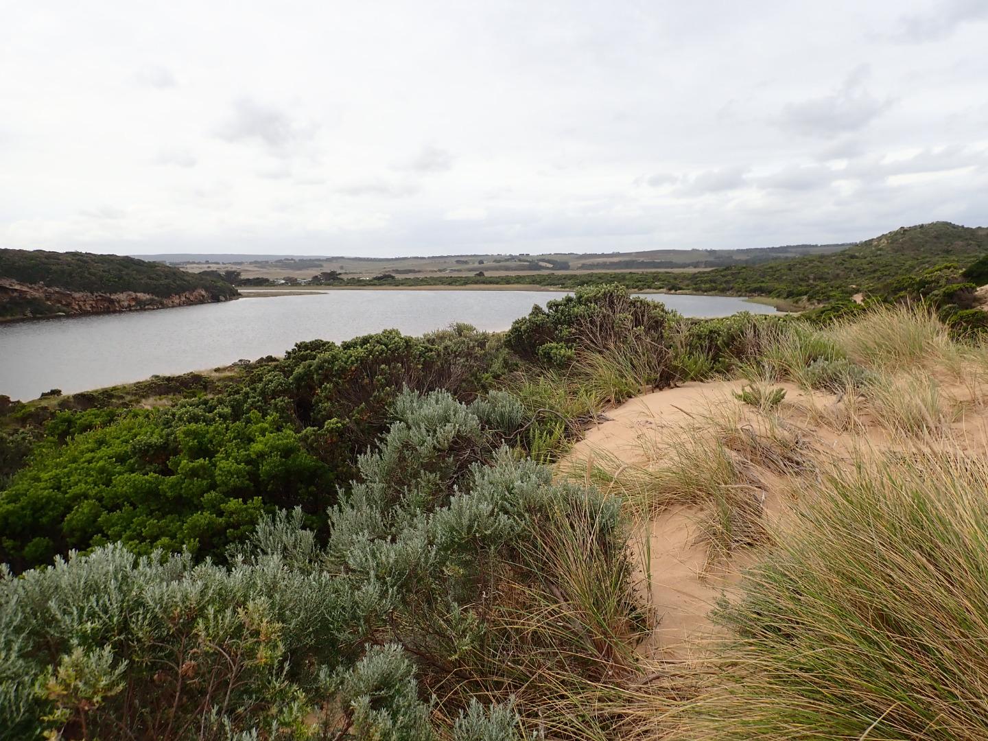
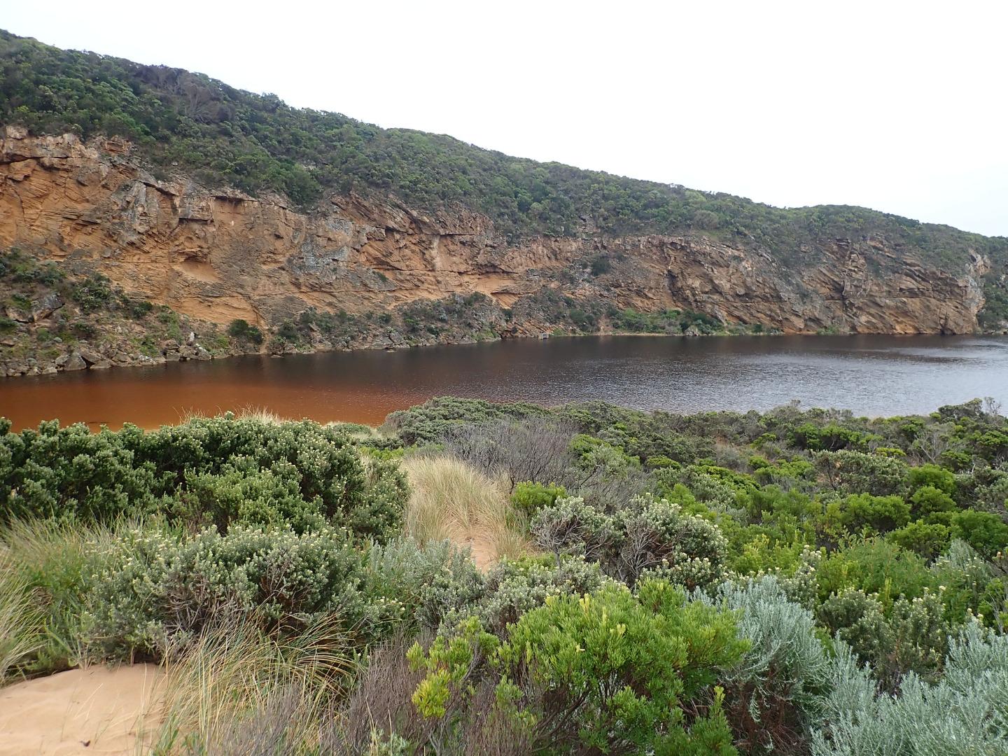
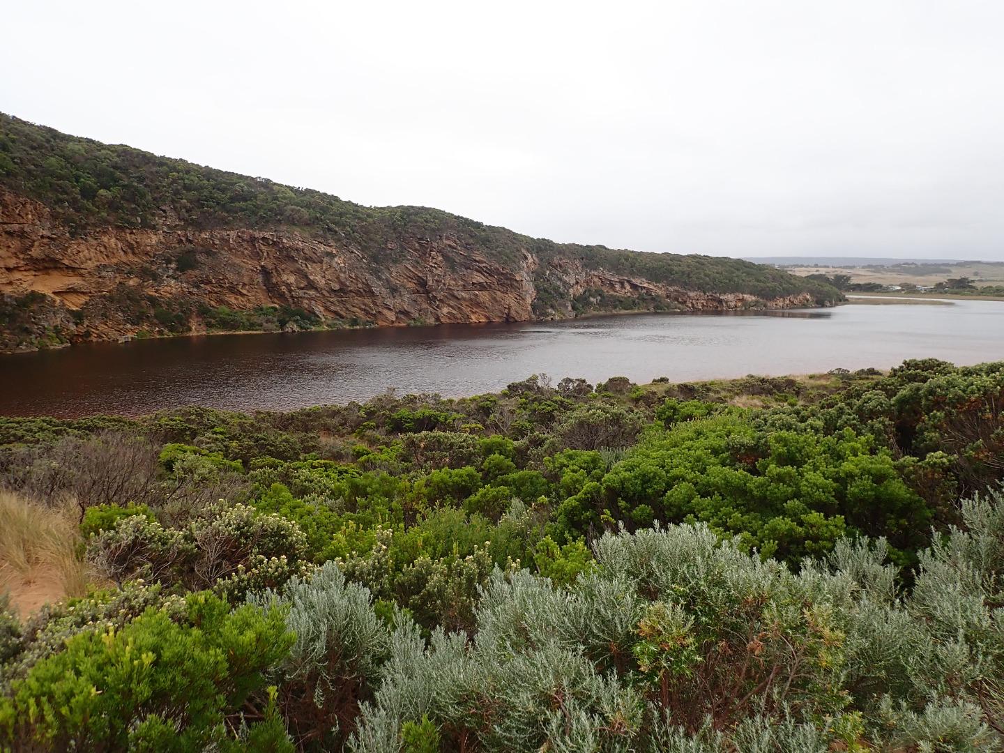
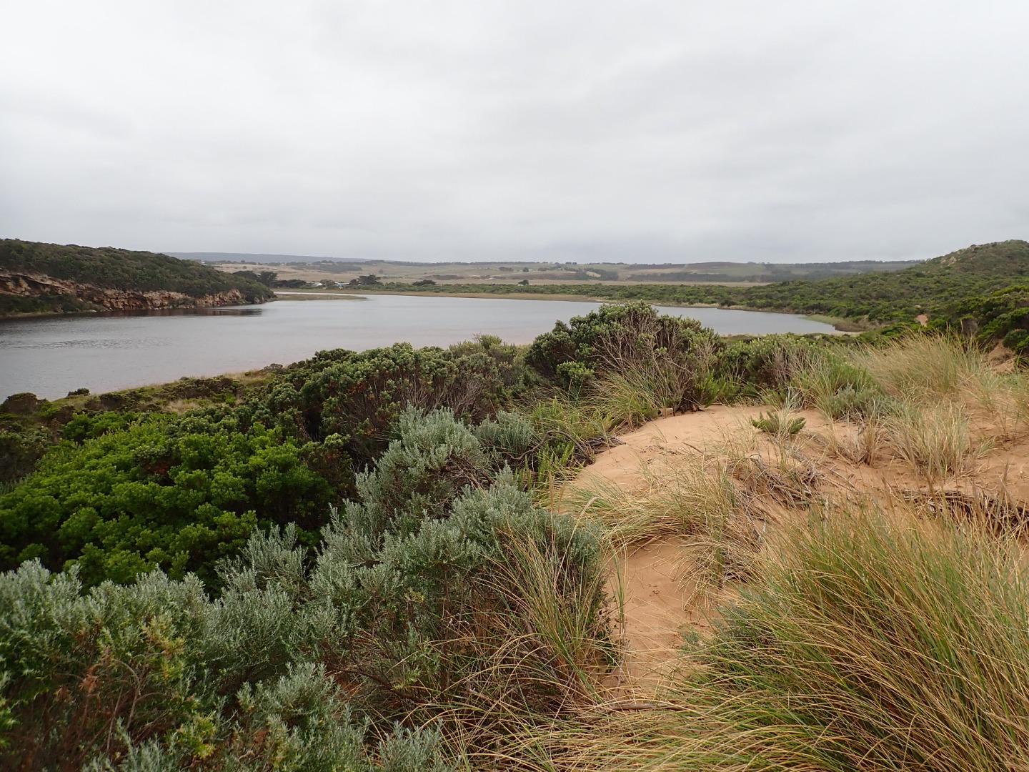
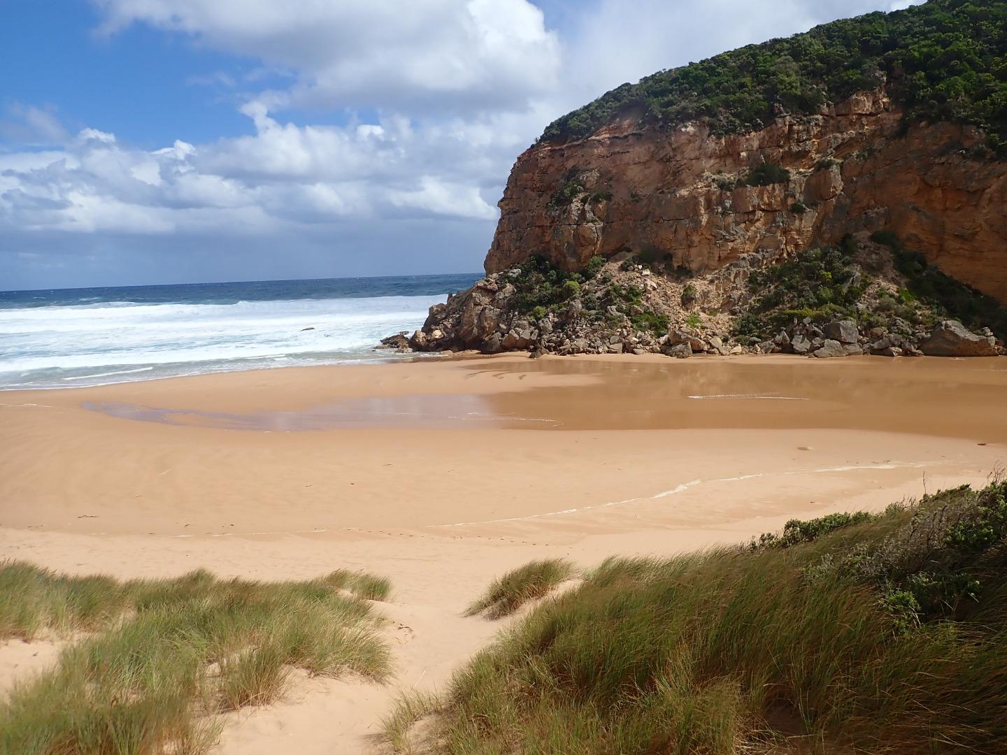
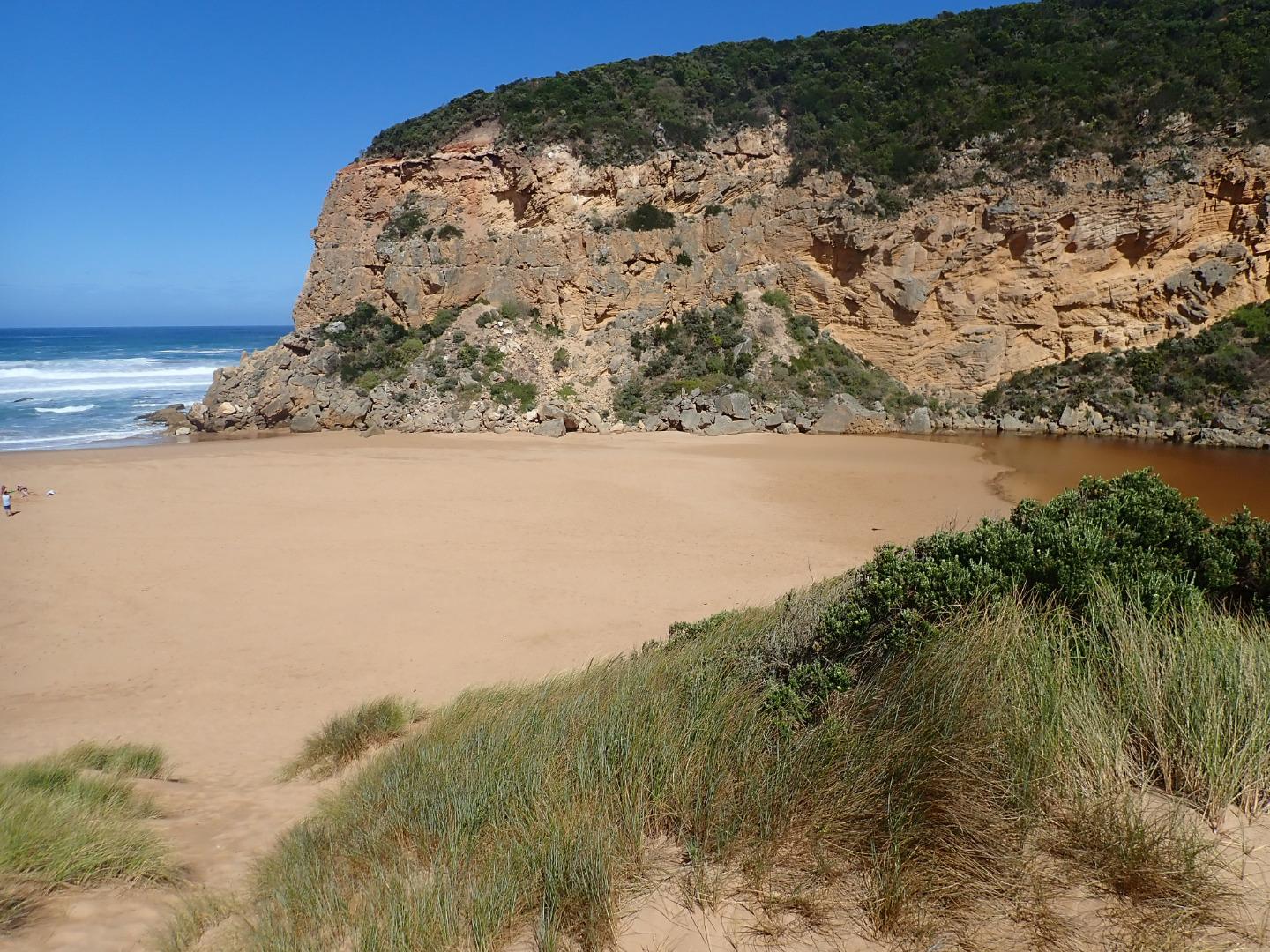
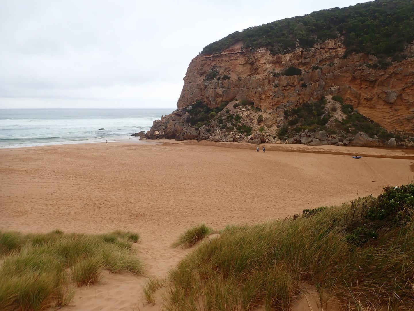
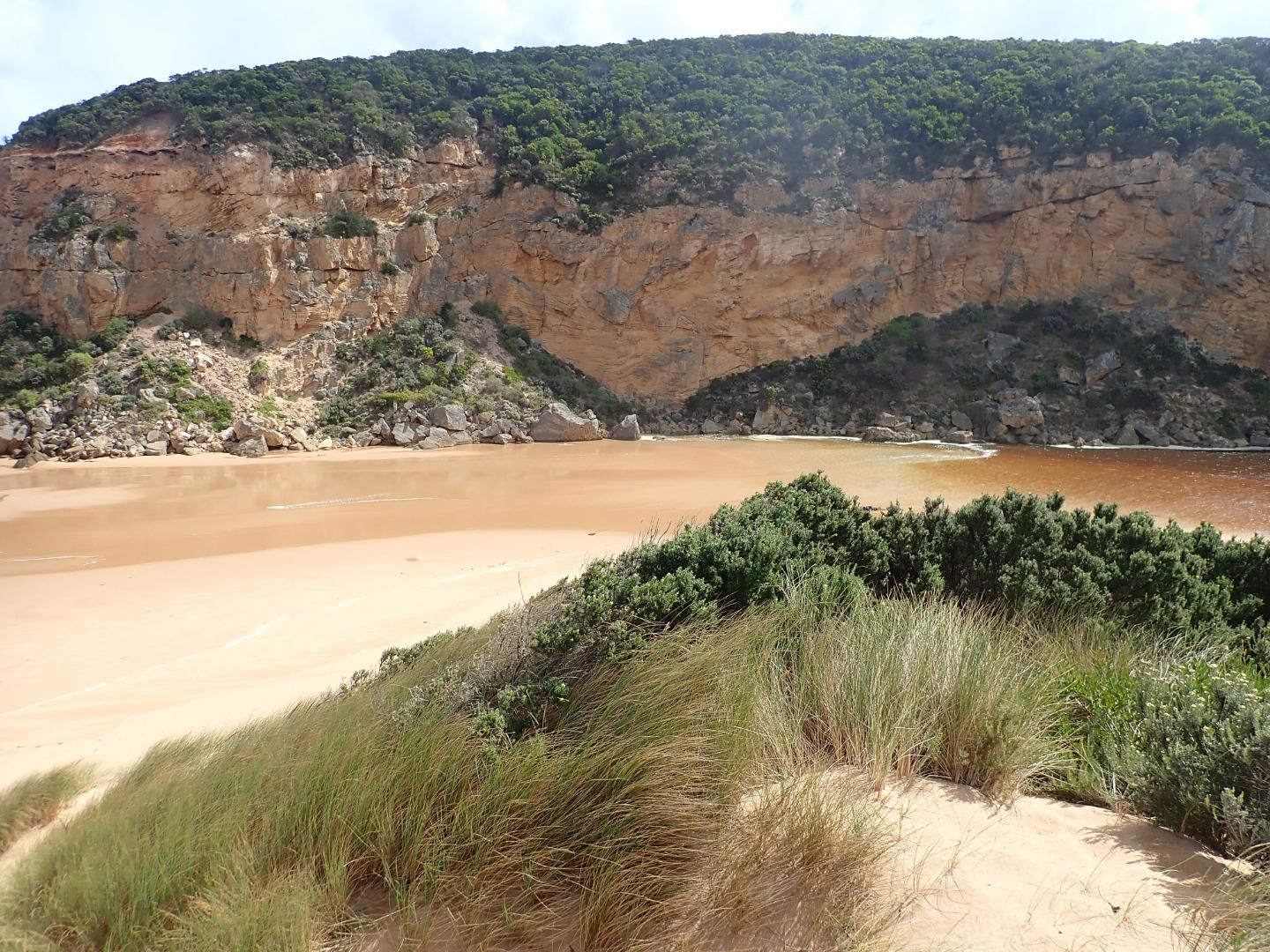
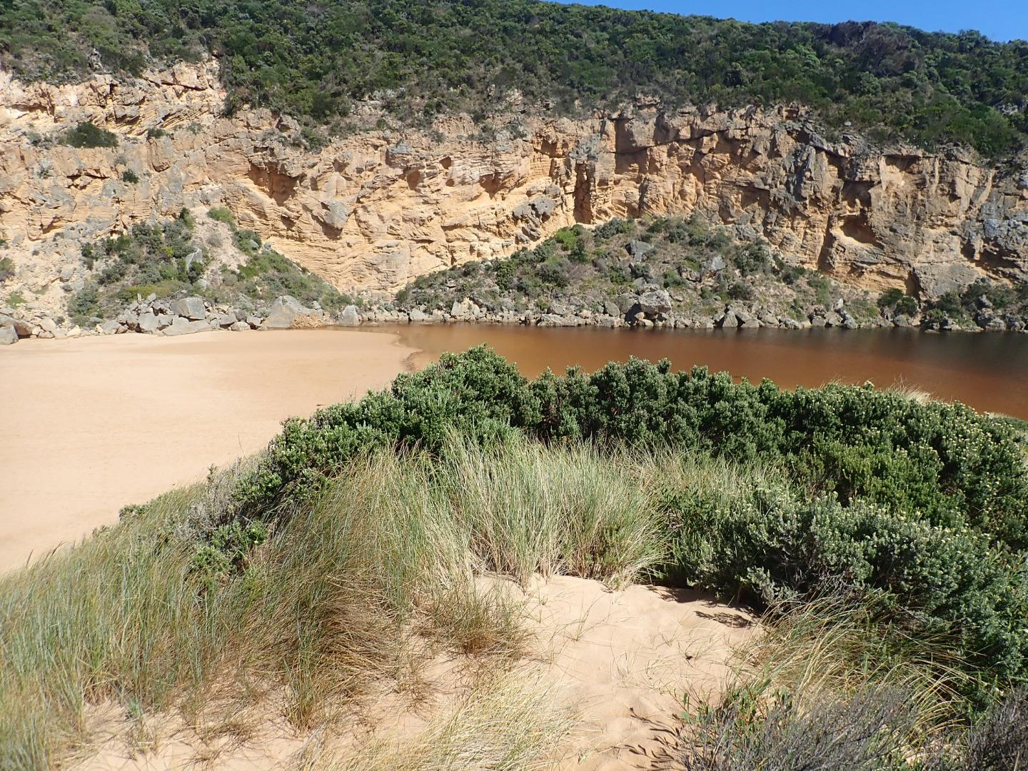
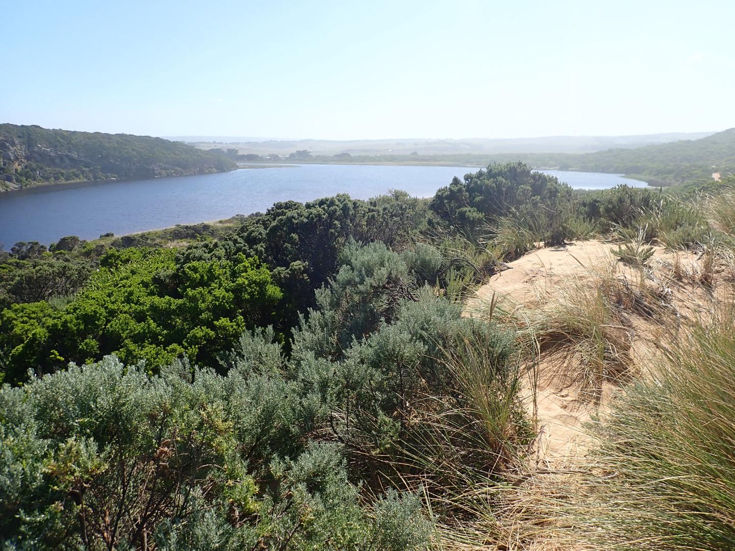
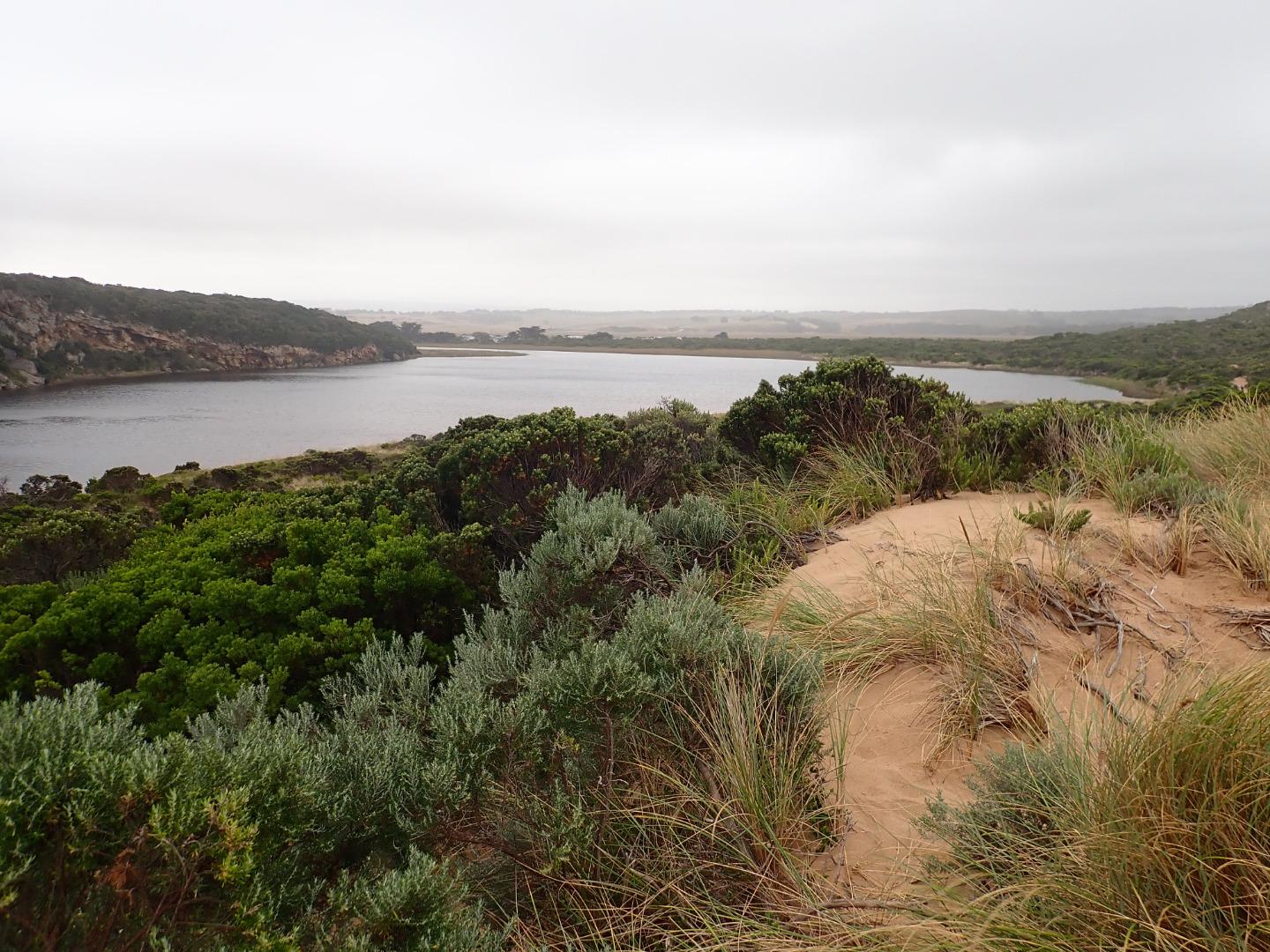
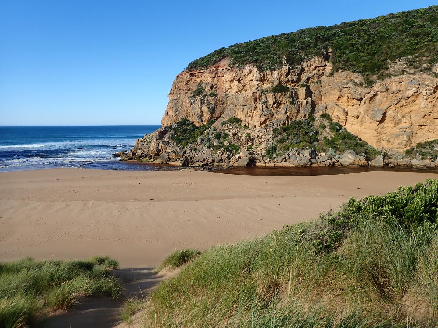
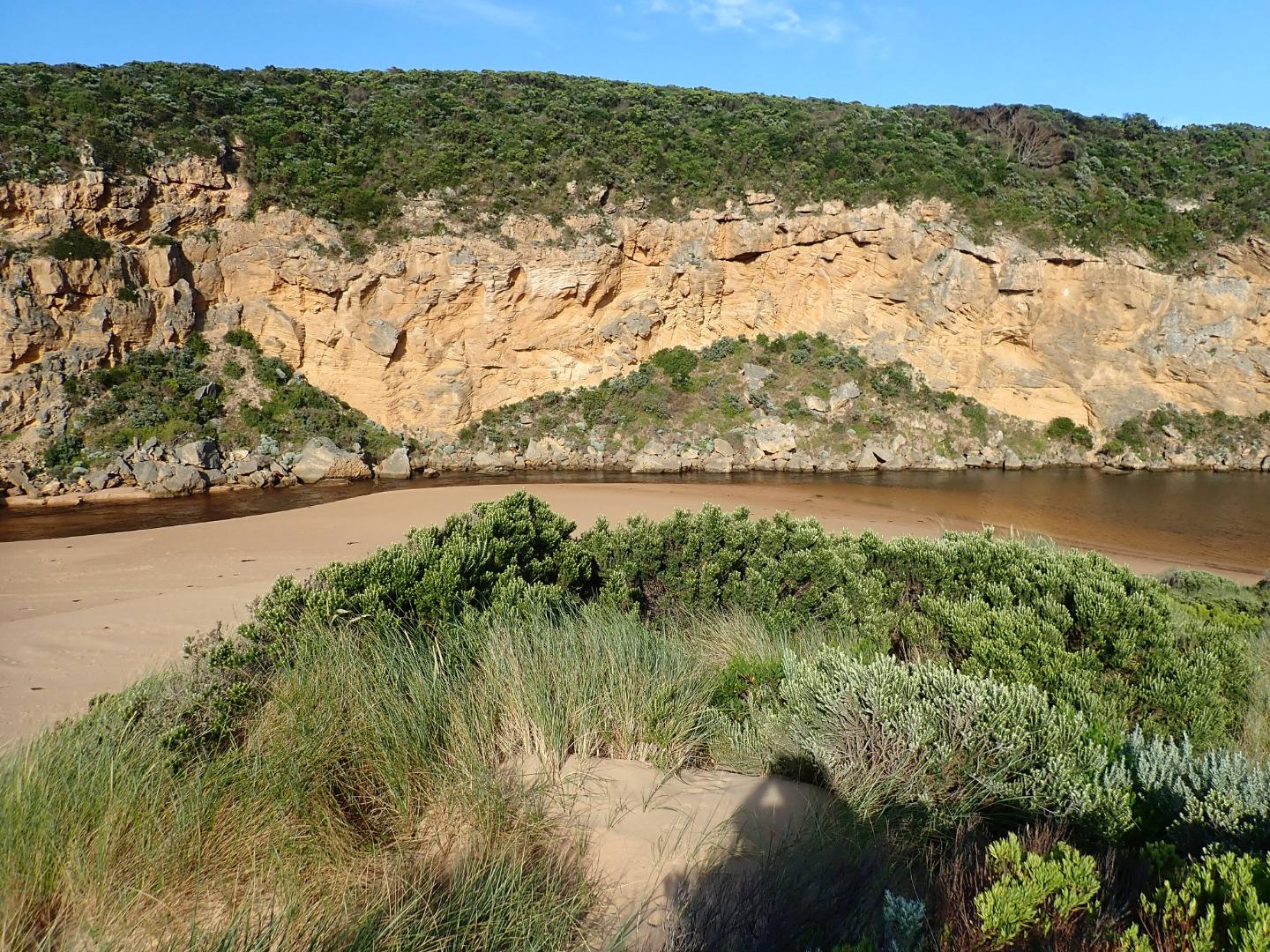
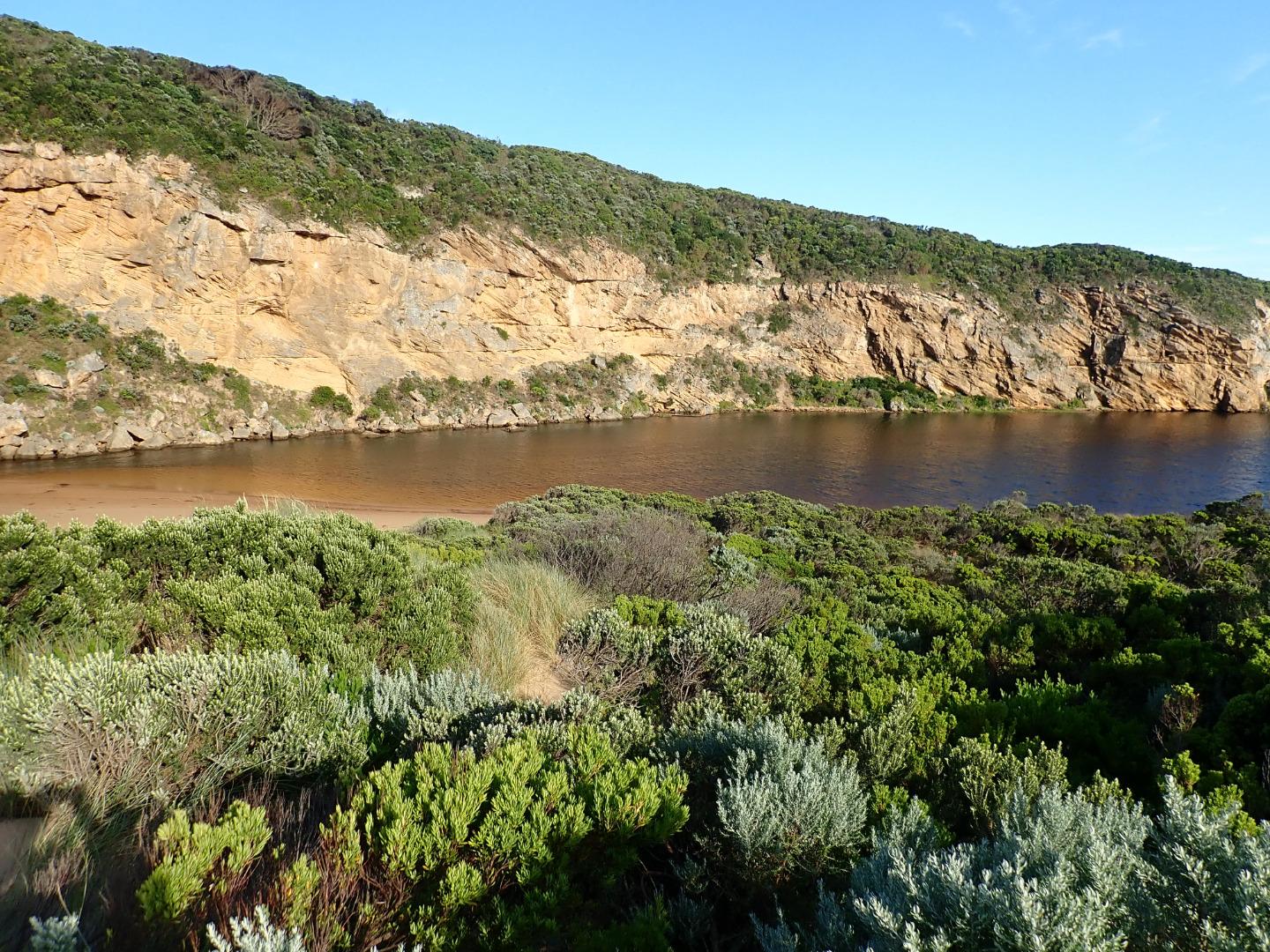
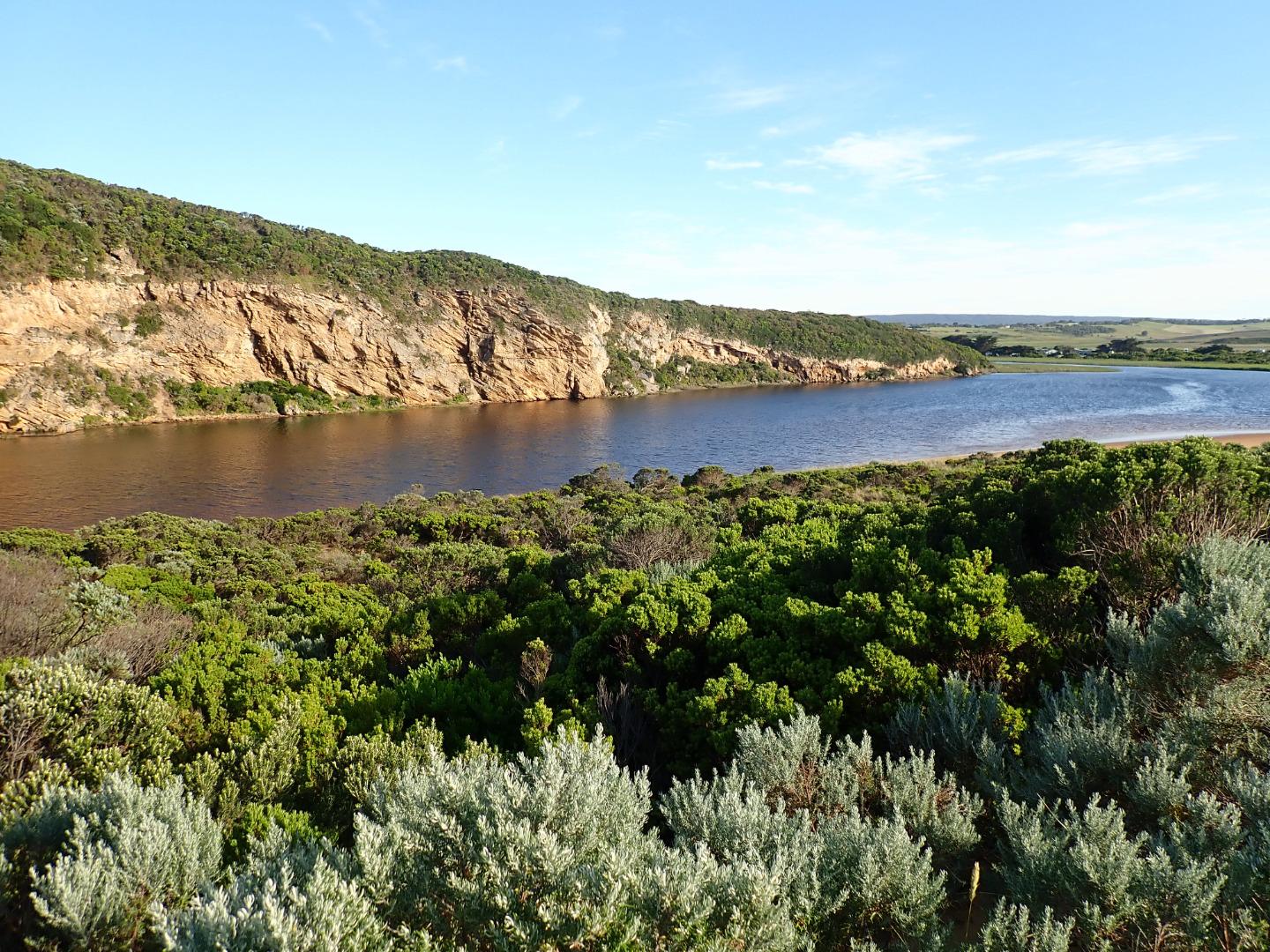
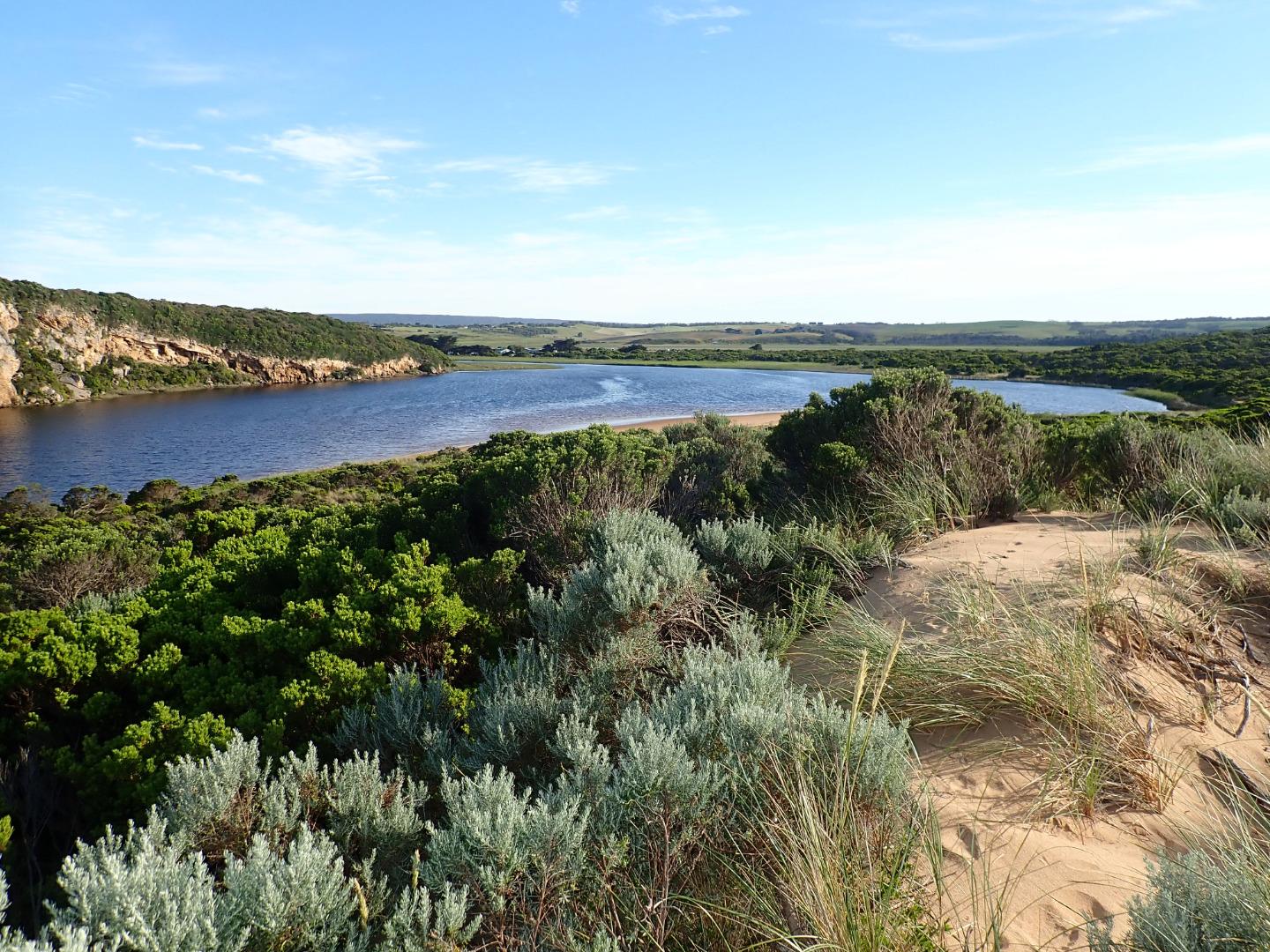
The Gellibrand River Estuary is approximately 8.7km's in length and flows through a variety of different landscape types before it enters the ocean directly into the Twelve Apostles Marine National Park. It has a catchment area of 2346Ha. |
| Estuary Values |
|
| Estuary Threats |
|
| Data | Site observations |
| Status | Active |
| Monitor group | Gellibrand River EstuaryWatchers |
| Document | P116120_FS01V04_Gellibrand_Factsheet_20171101.pdf |
| Document | Gellibrand River Estuary Fact Sheet |
Sites
| Site details | Options |
|---|---|
G1 Gellibrand River Estuary MouthRetired Physico-Chemical 20-04-2007 - 16-05-2008Open estuary area behind sand dune |
Observations 11 |
G2 Old Coach Road Bridge PrincetownActive Physico-Chemical 20-04-2007 - 21-07-2023Road bridge over estuary on Old Coach Road |
Observations 628 |
G3 Camp KangaroobieRetired Physico-Chemical 20-04-2007 - 15-06-2012Platform at estuary adjacent to Camp Kangaroobie |
Observations 28 |
L1 Bridge at Latrobe Creek Mouth as it enters the GellibrandActive Physico-Chemical 15-06-2007 - 15-03-2024Foot bridge over wetlands |
Observations 217 |
G4 Bridge at RivernookActive Physico-Chemical 21-04-2007 - 15-03-2024Bridge at Rivernook |
Observations 171 |
G5 Coxon's BridgeActive Physico-Chemical 21-04-2007 - 15-03-2024Bridge at Coxon's |
Observations 229 |
G6 Great Ocean Road Bridge at Lower GellibrandRetired Physico-Chemical 20-04-2007 - 11-03-2017Great Ocean Road Bridge at Lower Gellibrand |
Observations 227 |
G6GB Gellibrand River (upstream) Water Level Gauge BoardRetired Gauge BoardWater level gauge board located on eastern river bank, downstream of Great Ocean Road bridge. |
|
GGB Water Level Gauge BoardActive Gauge BoardAdjacent to the permanent monitoring station approximately 5m upstream of the Old Coach Road bridge. |
|
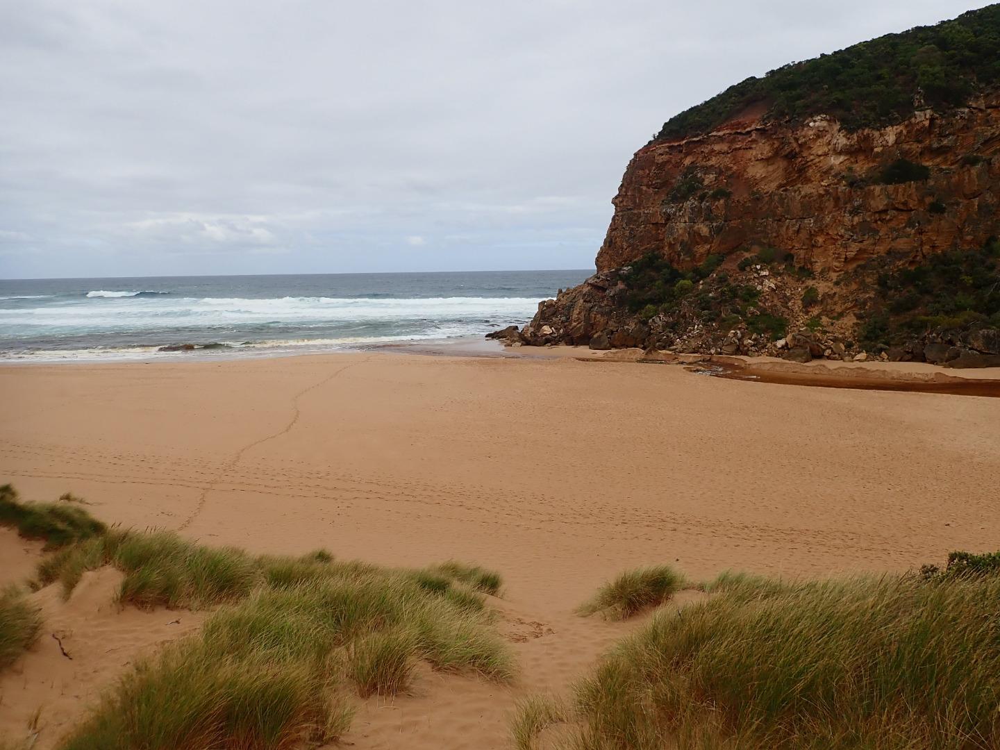
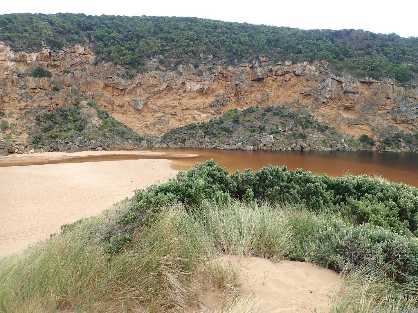
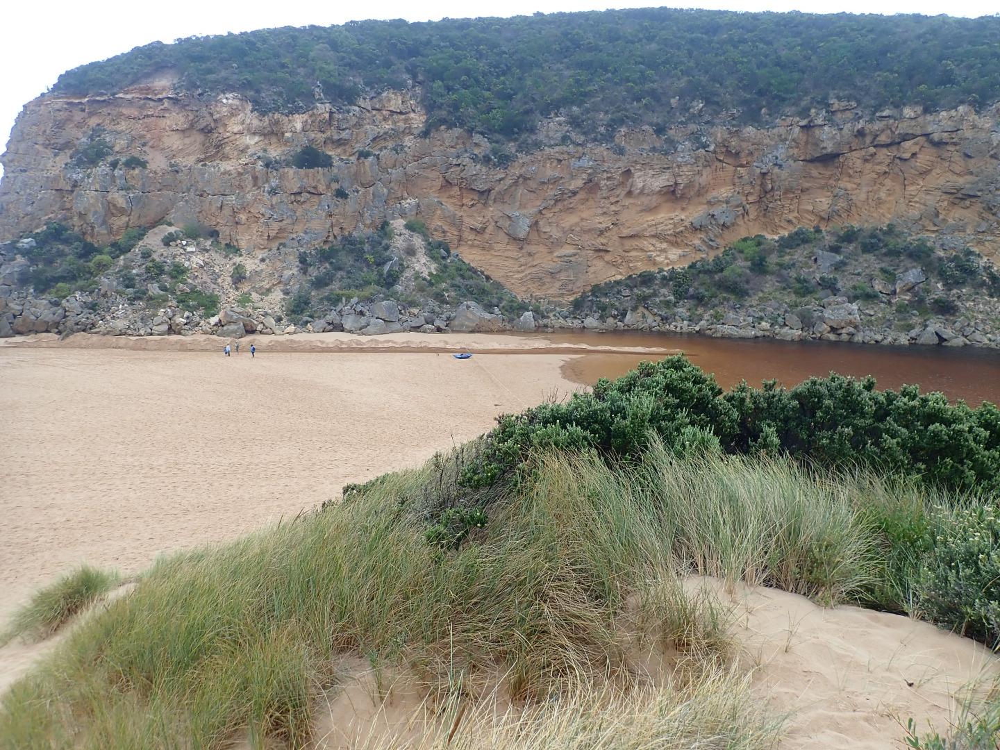
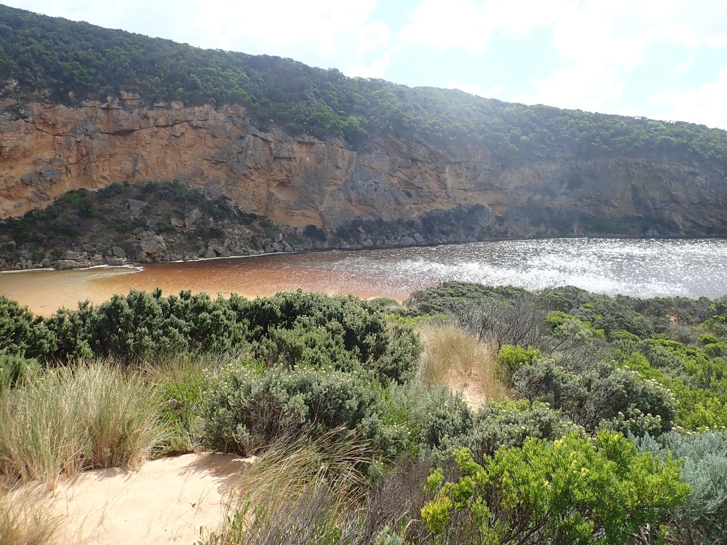
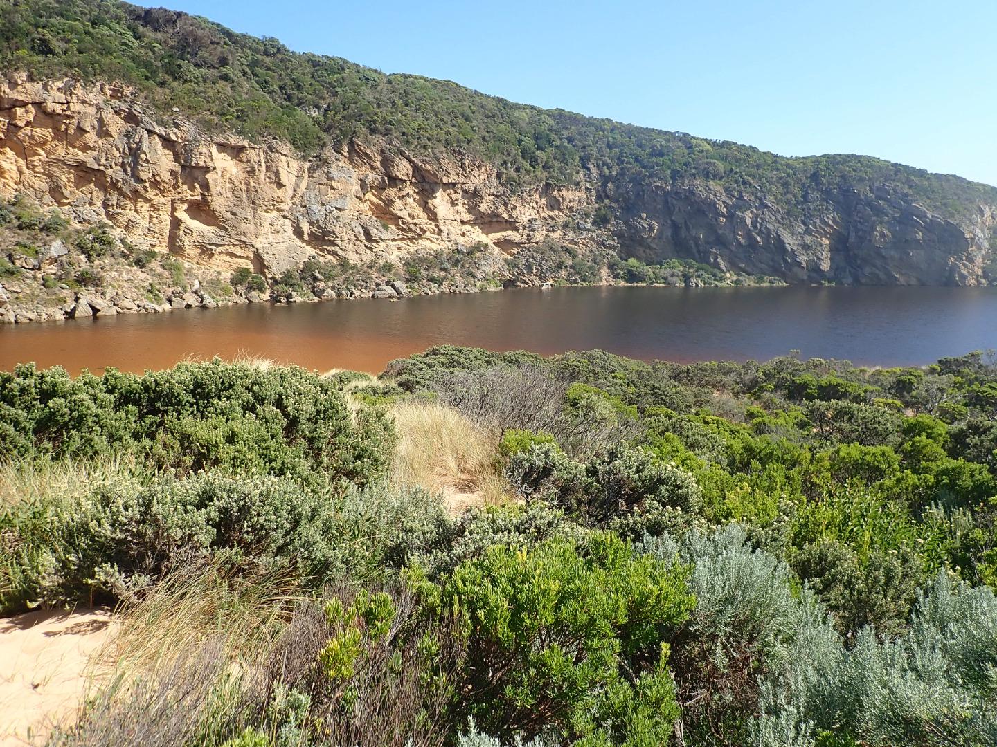
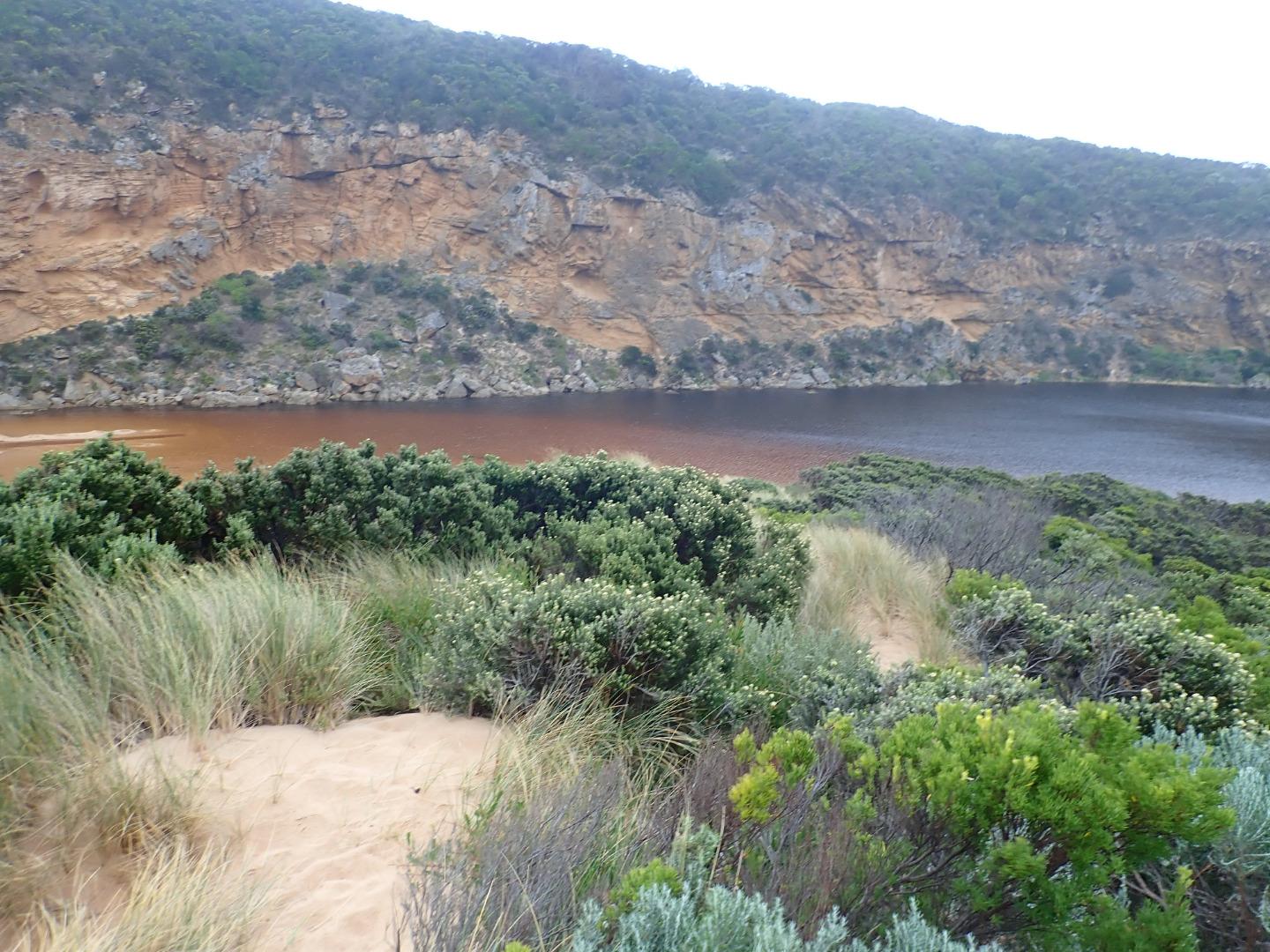
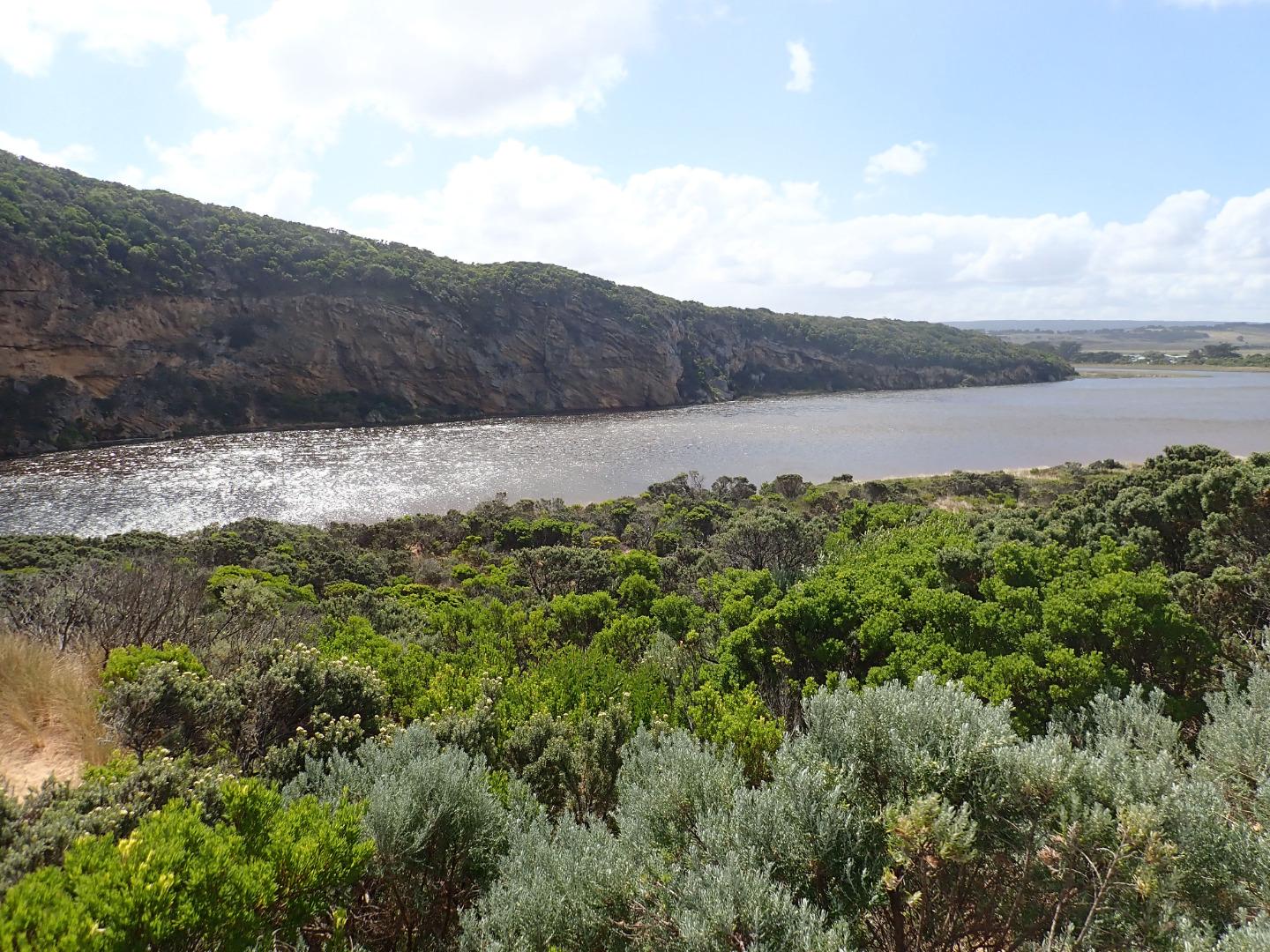
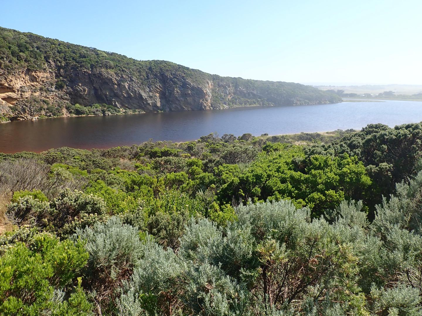
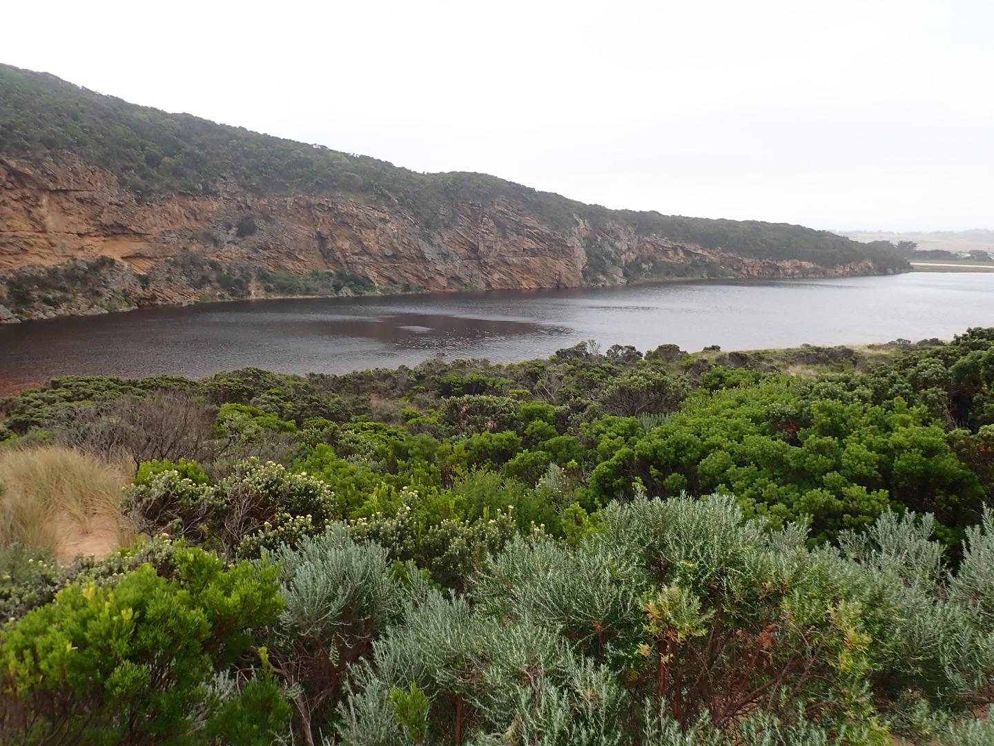
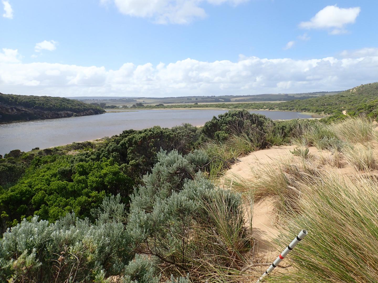
GMC Gellibrand River Estuary Mouth Observation SiteActive Mouth Condition 20-04-2007 - 19-04-2024EstuaryWatch post marker on top of sandune at estuary mouth |
Observations 770 |
Gp1 Gellibrand River Estuary Mouth PhotopointActive Photopoint 18-07-2010 - 22-04-2024EstuaryWatch post marker on top of sandune at estuary mouth |
Photos 2649 |
Recent Events
| Event Details |
|---|
| 06-11-2018 Estuary Entrance Closure Berm formed a few days after high seas & westerly gale force winds 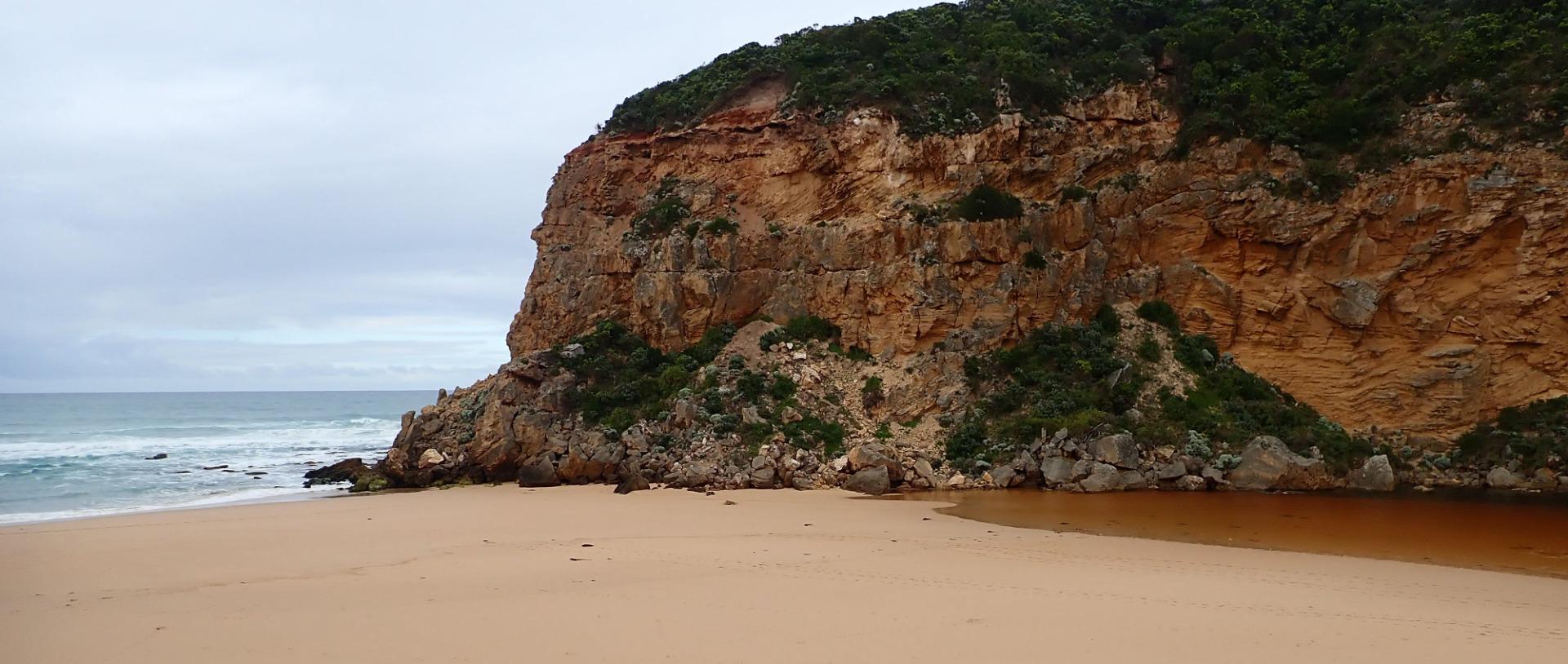
|
Estuary Snapshots
The EstuaryWatch snapshots provide a summary of estuary condition on a particular day. For all EstuaryWatch Snapshots, photopoint photos and a longitudinal water quality profile from the estuary mouth to the inland extent is displayed. Read more
Full estuary snapshots below use dates where samples at every active monitoring site were recorded.
View
full and partial snapshots
Spring 2019
Winter 2019
Autumn 2019

Summer 2019
Spring 2018

All content, files, data and images provided by the EstuaryWatch Data Portal and Gallery are subject to a Creative Commons Attribution License
Content is made available to be used in any way, and should always attribute EstuaryWatch and www.estuarywatch.org.au