EstuaryWatch Data Portal
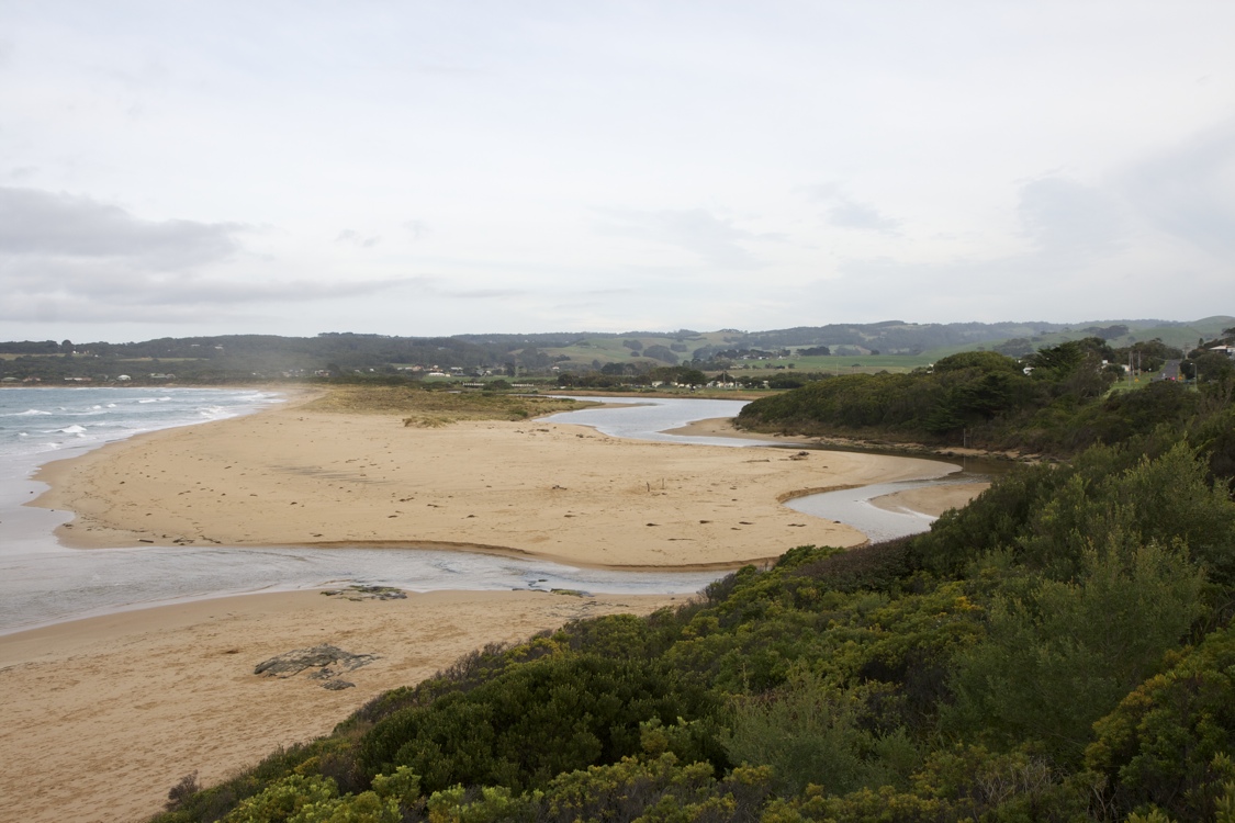
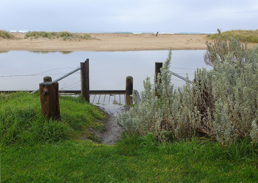
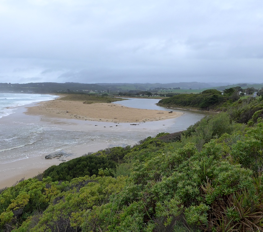
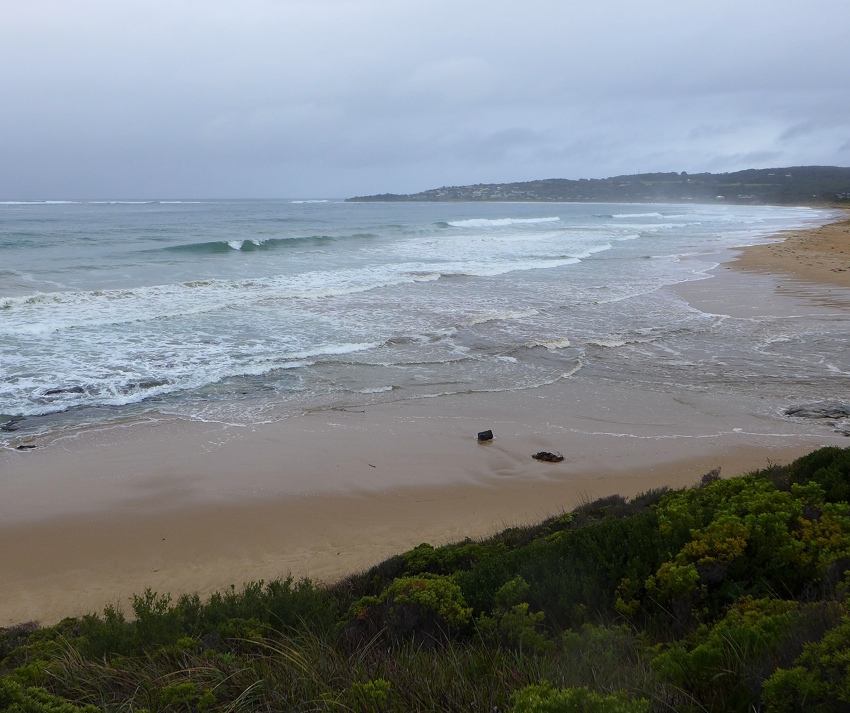
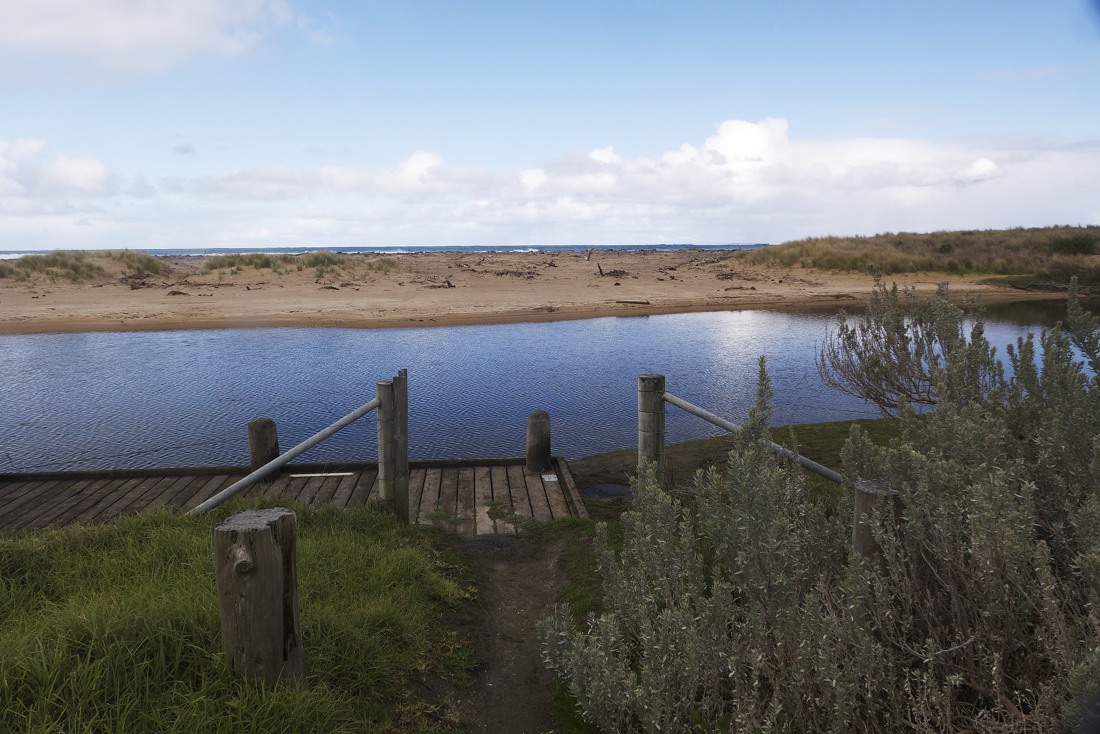
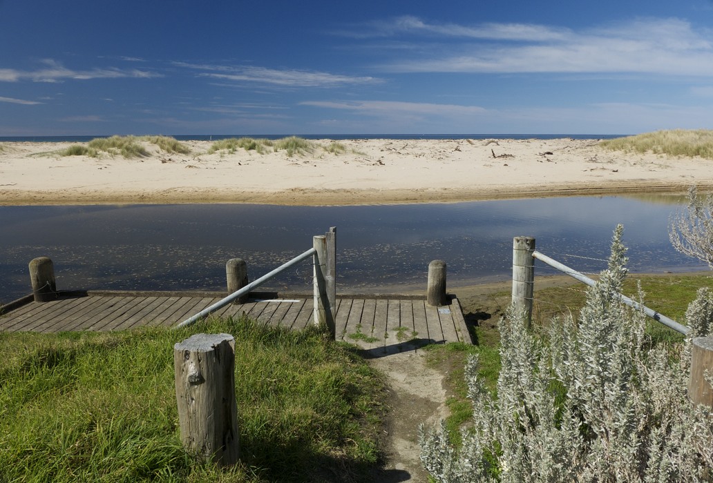
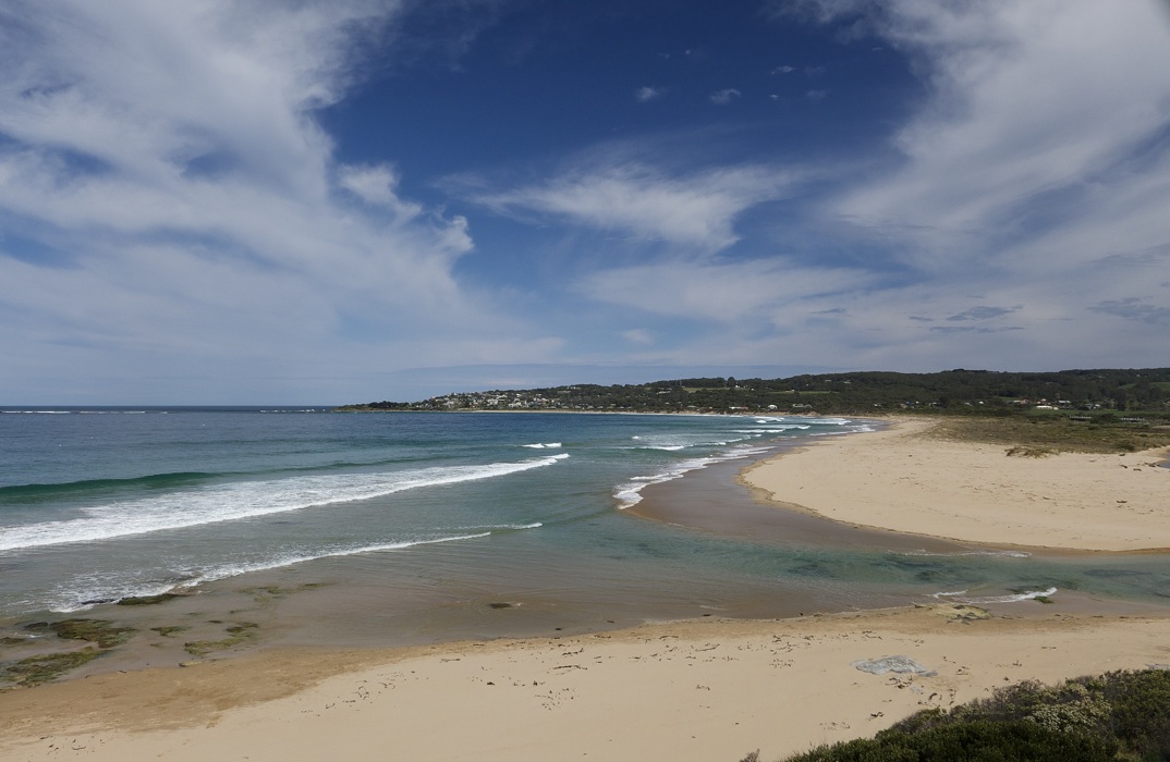
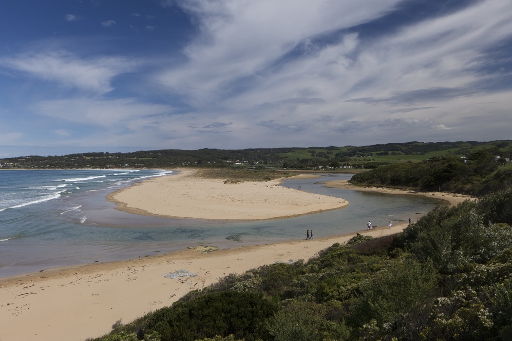
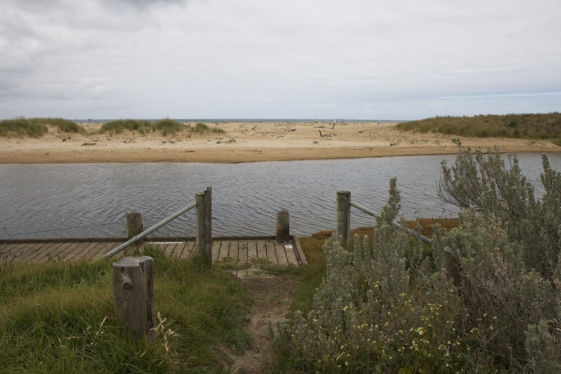
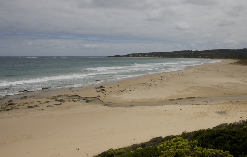
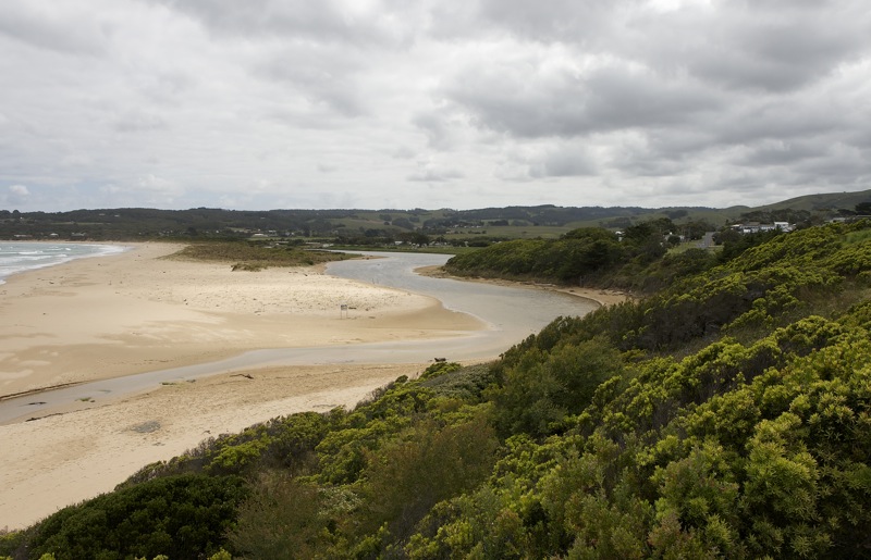
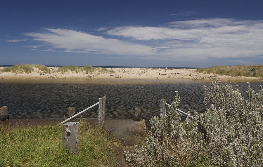
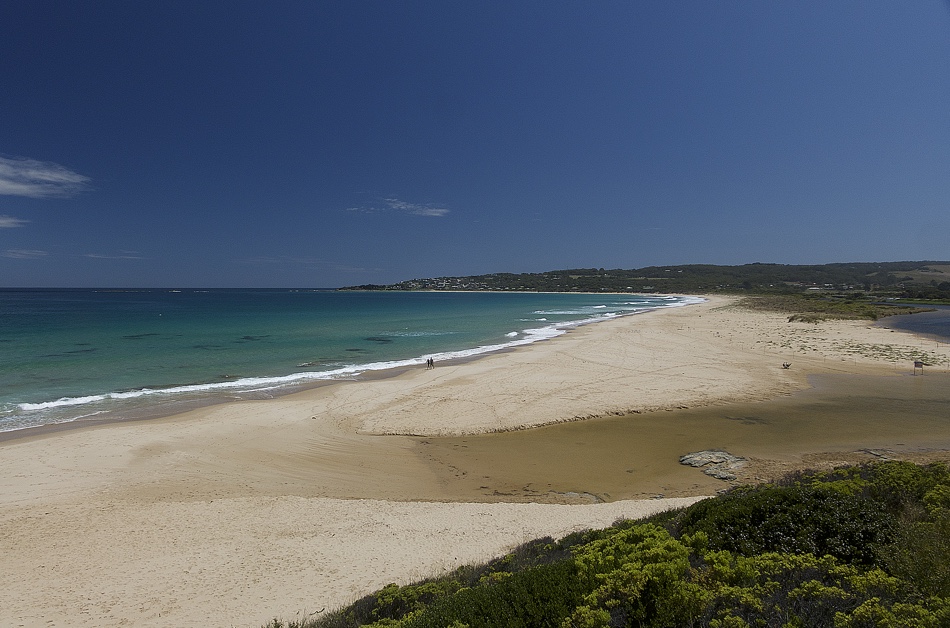
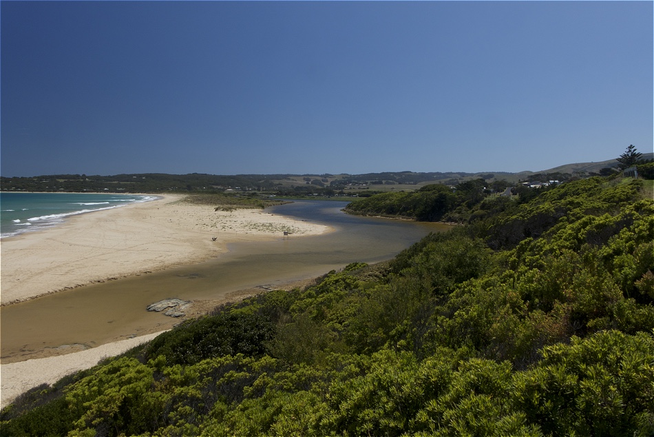
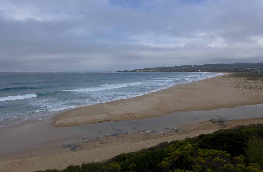
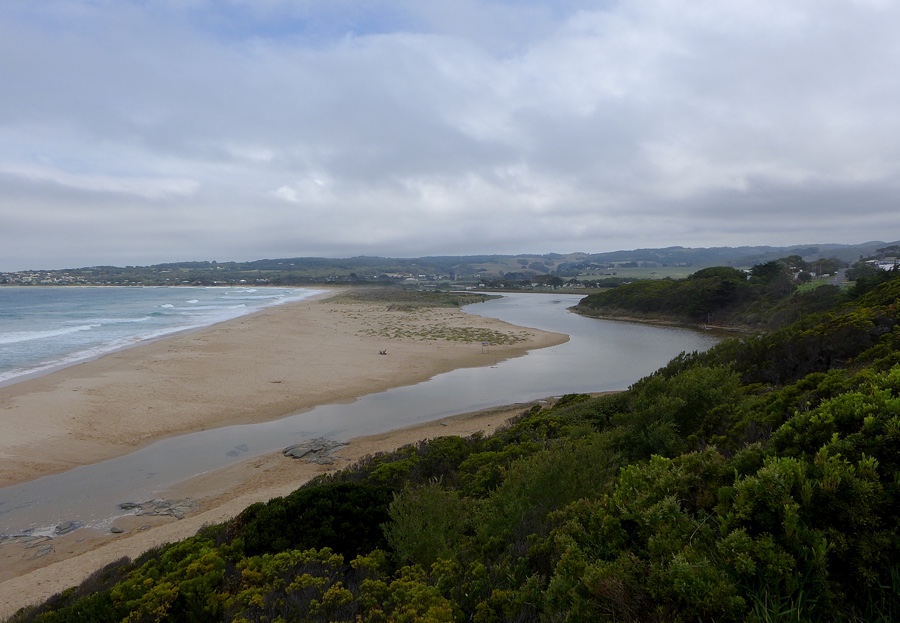
BmMC Barham River Observation Site
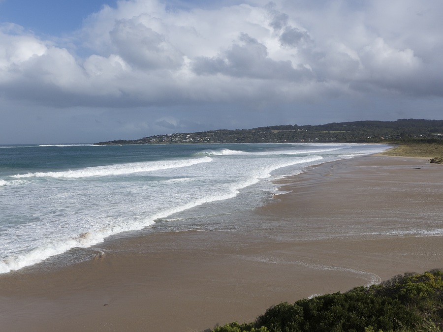
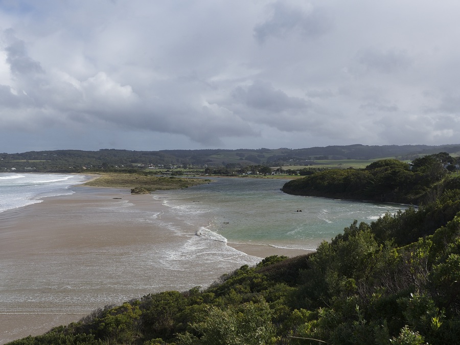
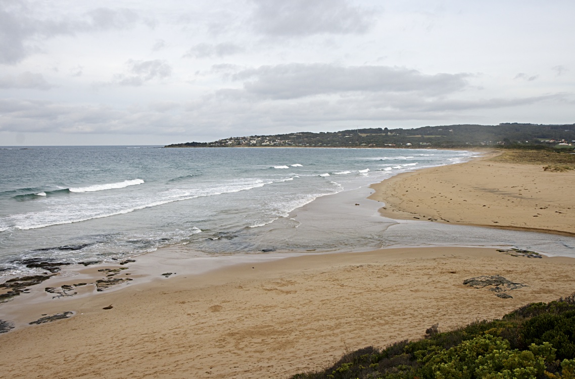
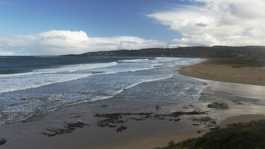
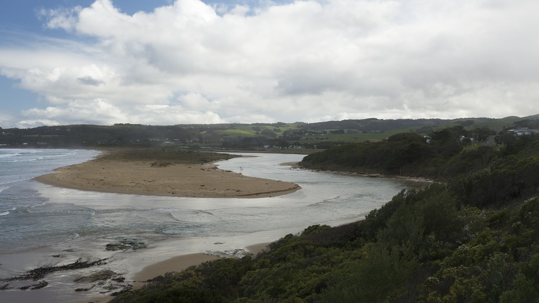
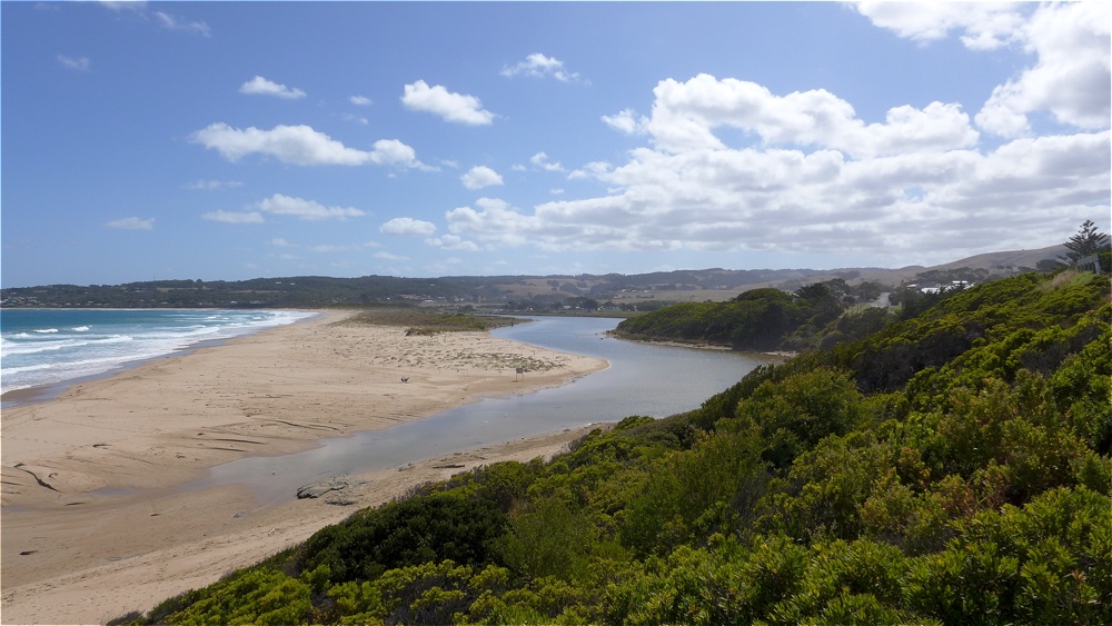
Active Mouth Condition 23-05-2008 - 19-04-2024Barham River Estuary
155 results found (Displaying 91 - 100)
| ID | Date | Status | Details | |
|---|---|---|---|---|
| #9528 | 7 Apr 2015 | Approved | Notes: Rainfall last 48 hours 1.4mm. Air pressure 1013.5Kpa. Very stormy weather. | |
| #9591 | 6 May 2015 | Approved | Notes: Rainfall last 48 hours 38 mm. Atmospheric Pressure 1008.3 hPa. Storm surge, high tide and high rainfall all contributed to exceptional water levels, overwashed berms and dramatic scenery. It is possible that at low tide the mouth would be closed - the water depth across the mouth was quite shallow at high tide. | |
| #9666 | 15 Jun 2015 | Approved | Notes: Rainfall lat 48 hours 0mm, Atmospheric Pressure 1025.3 hPa, Tidal inflow extended about 30 metres upstream. Noticeable sand deposition on foredune along beach front. | |
| #9740 | 15 Jul 2015 | Approved |
Notes:
Rainfall last 48 hours 20.8 Atmospheric Pressure 1018 hPa High rainfall caused strong outward flow of river at mouth |
|
| #9791 | 18 Aug 2015 | Approved |
Notes:
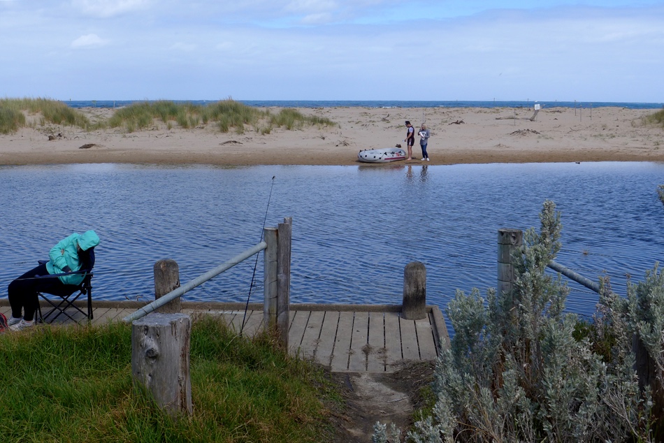
Rainfall last 24 hours 12.6 mm, Atmospheric Pressure 1023.1. There is a large build up of sand opposite the fishing platform at BmP2. Mouth opening is wide, with tidal waves traveling upstream for approx. 100 m. Monitors were absent from the region on holiday, so that the Mode information is lacking |
|
| #9839 | 13 Sep 2015 | Approved |
Notes:
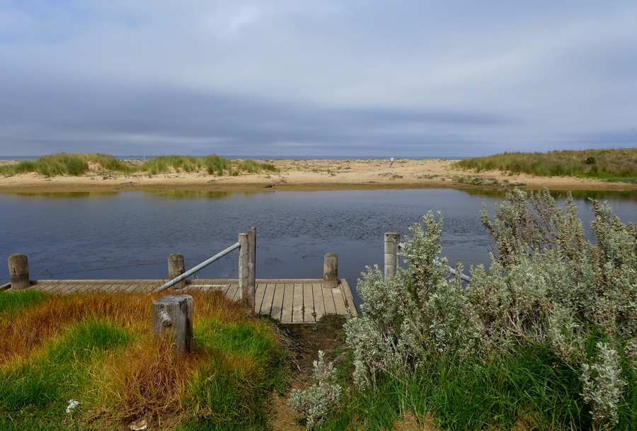
Rainfall last 48 hours 0mm; Air Pressure 1022.5hPa A modest high tide and low rainfall resulted in low river level. Dunes well established. |
|
| #9954 | 21 Nov 2015 | Approved | Notes: Rainfall last 48 hrs 4.8 mm. Atmospheric Pressure 1022 hPa | |
| #10010 | 15 Dec 2015 | Approved |
Notes:
Rainfall last 48 hours 0mm, Atmospheric Pressure 1016 hPa Vegetation has established along the berm opposite the fishing platform and towards the mouth Water stain on river banks at the mouth suggests river level has been higher during the last 24 hours, suggesting the river level has been higher, possibly due to wave intrusion at high tide (1.66m ) at 03:05 |
|
| #10076 | 15 Jan 2016 | Approved | Notes: Rainfall last 48 hours 4.2mm. Atmospheric Prressure 1032.5 hPa. Water stain on sandbank sugests the river level rose with the higher tide of 1.67 @04.06am, with rough waves surmounting the the berm at the mouth. Berm along the beach front is spotted with pioneering plants, and has been fenced off for hooded plovers nesting. Berm length 65.5m. | |
| #10196 | 11 Mar 2016 | Approved |
Notes:
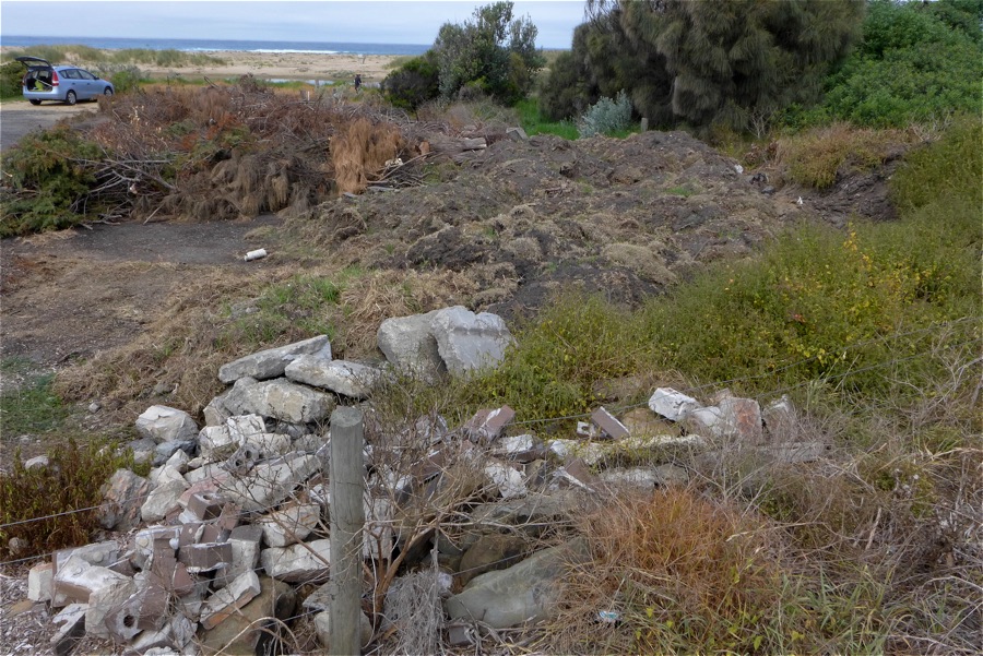
Rainfall last 48 hours 7.2 mm. Atmos. Press. 1018.3 hPa Photo included of brush pile @fishing platforms car park - it continues to grow!!. Berm opposite fishing platform is quite high with colonizing vegetation well established. No evidence of wash over by waves. The Algae mat noted last month is now senescing. The river moouth opening, though wide, is shallow inhibiting water flow either in or out. Mouth would be CLOSED at low tide. We have enclosed a copy of a letter addressed to Otway Coast Committee regarding the brush dumping at the car park, for your information. |
|


All content, files, data and images provided by the EstuaryWatch Data Portal and Gallery are subject to a Creative Commons Attribution License
Content is made available to be used in any way, and should always attribute EstuaryWatch and www.estuarywatch.org.au