EstuaryWatch Data Portal
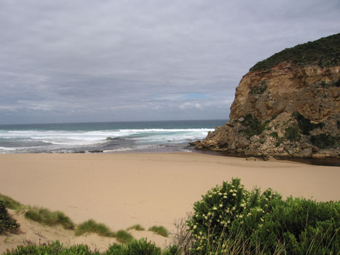
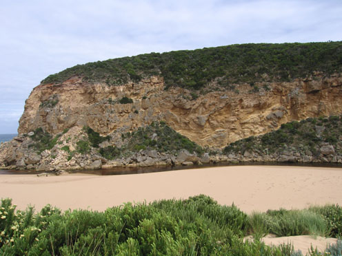
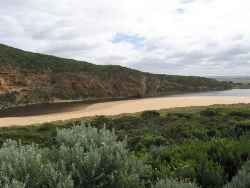
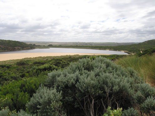
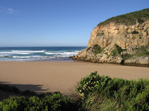
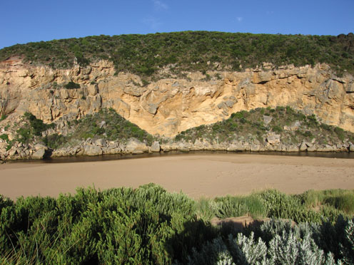
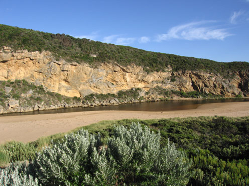
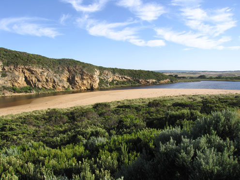
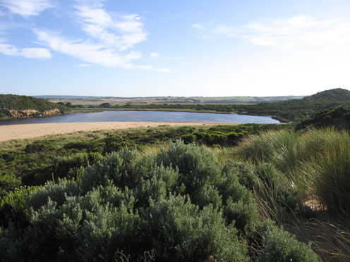
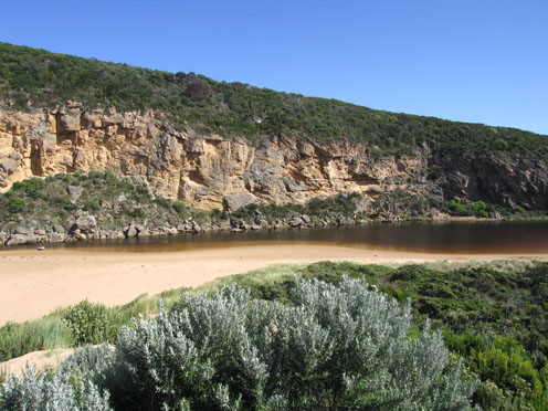
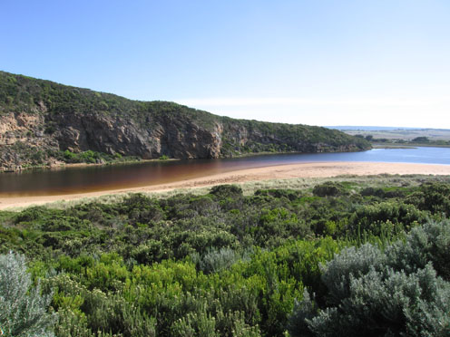
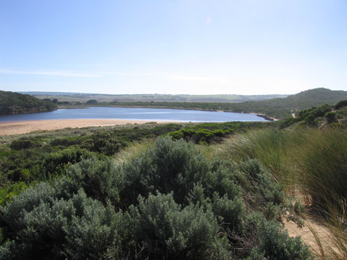
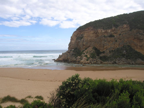
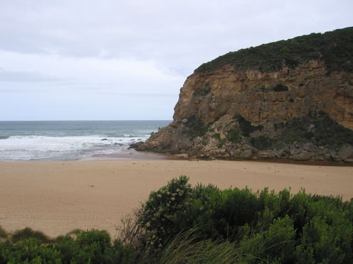
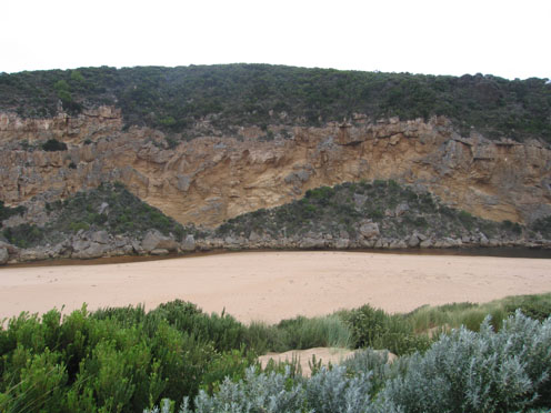
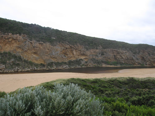
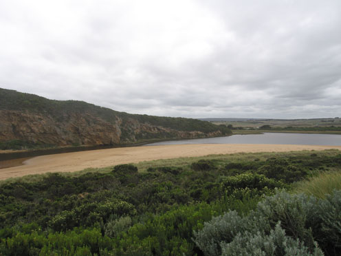
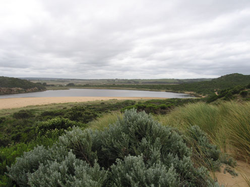
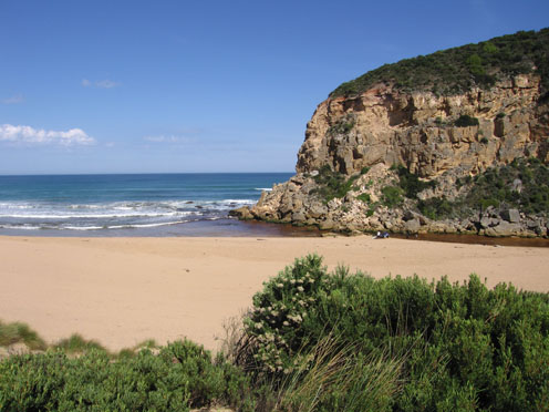
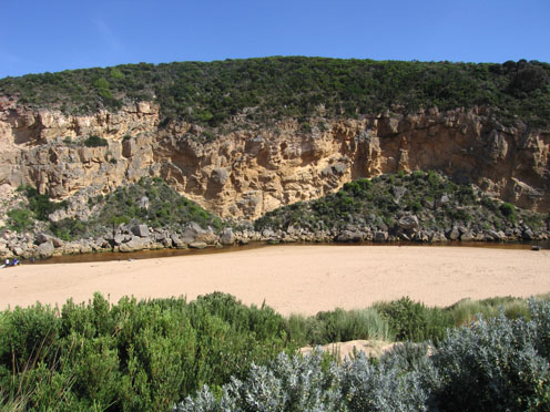
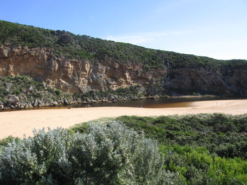
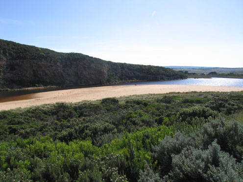
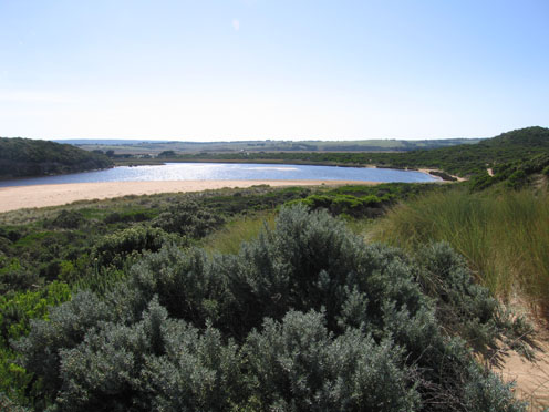
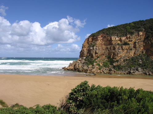
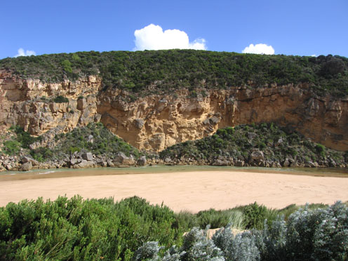
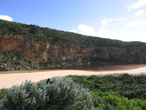
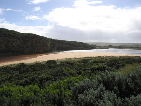
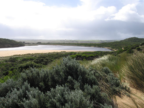
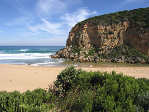
GMC Gellibrand River Estuary Mouth Observation Site
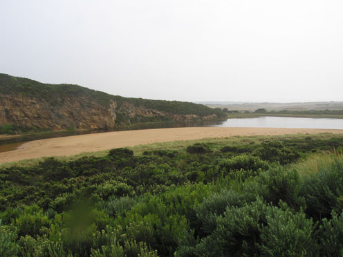
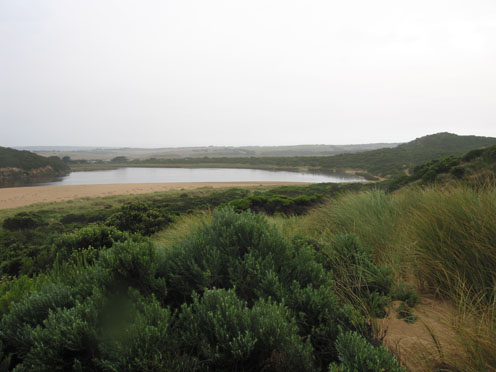
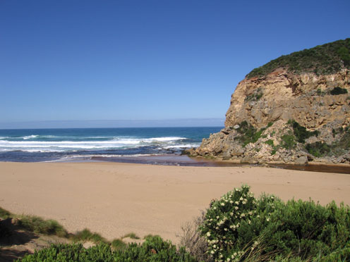
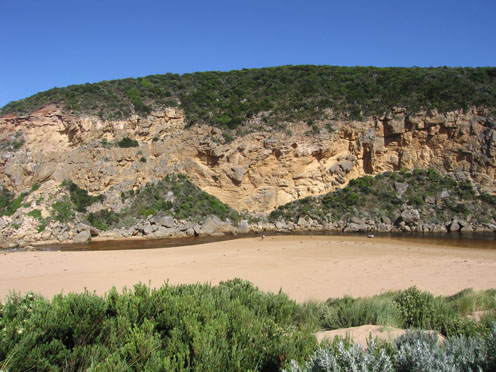
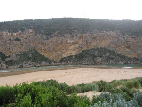
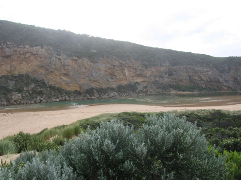
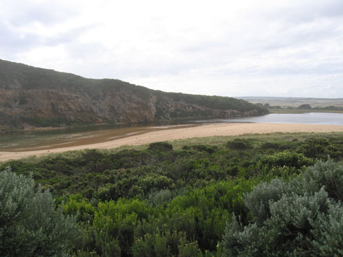
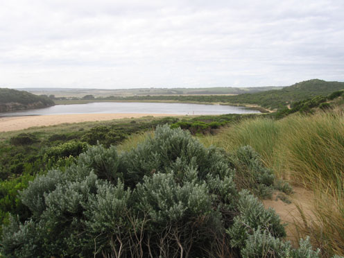
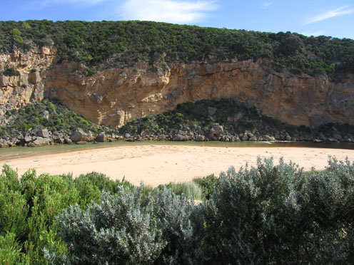
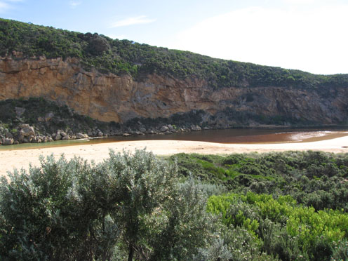
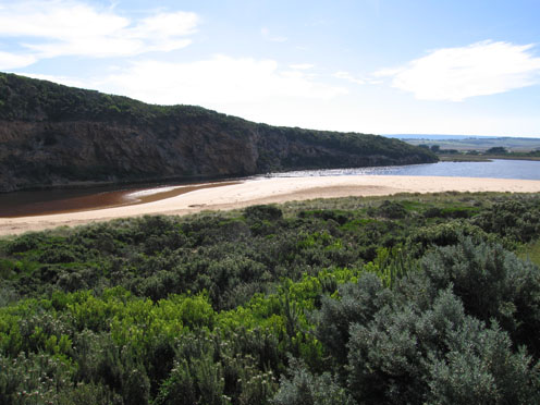
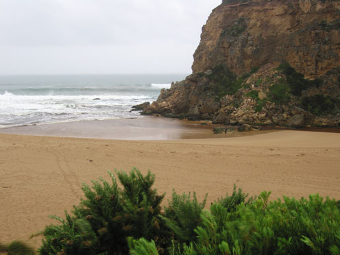
Active Mouth Condition 20-04-2007 - 19-04-2024Gellibrand River Estuary
770 results found (Displaying 161 - 170)
| ID | Date | Status | Details | |
|---|---|---|---|---|
| #3204 | 22 Feb 2010 | Approved |
Notes:
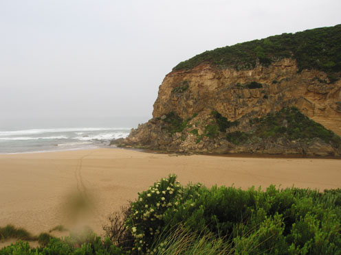
1. Flow is both in and out. Waves entering up past rocks and up channel. 2.Discharge around mouth and along shoreline 3.Previous high tide in up to mid beach . Has brought more sand into channel infront / upstream of rocks and leveled out steep banks 4. Waves in all directions at mouth |
|
| #3214 | 26 Feb 2010 | Approved |
Notes:
1. Slight outflow across a wide shallow area, some discharge around mouth and along shore line to the east 2.Steep front to beach has been reduced to a gradual slope. Longshore drift is bringing sand into channel above and below rocks. Evidence of hi tide well up onto beach 3.Kangaroos (2) deliberately entering water near rocks and going into waves at mouth 4. Spoonbill (1). Black duck (4). Swans (3). Pied comorants (2). About 8 Black cockatoos 3.Waves in all directions at mouth |
|
| #3237 | 5 Mar 2010 | Approved |
Notes:
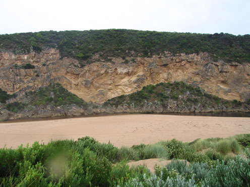
1. Shallow narrow flow out over large sand build up at mouth.Very low tide (0.07) has cut a steep bank on east side of channel downstream of rocks. Waves in all directions at mouth 2.Pale reduced discharge around mouth and east along shoreline 3.Increased sand build up in channel upstream of rocks 4.Rocks exposed at east end of beach and in front of cliff (west) 5. 2 petrols over beach. 5 ducks, 4 swans and many black cockatoos |
|
| #3263 | 12 Mar 2010 | Approved |
Notes:
1. Recent rainfall up stream (07.03.10 - 10.03.10 = 41ml.) has increased flow. 2. Strong out flow -discharge only around mouth and to sw. Channel has moved further to the east (about 8-10m. wide) below rocks with sand build up against cliff. 3. East side of channel has steep side (1m) which is collapsing into flow. Waves in all directions at entrance- longshore drift bringing back more sand into channel 4. Rocks are restricting flow. Water higher behind with a whirlpool. The channel widens in this area to about same as area below. 5.Channel narrows about 30-40m upstream 6. Rocks are exposed at east end and the beach is very wide near mouth 7.Wooden 'gate' at front of tunnel has become detatched and slipped down |
|
| #3285 | 20 Mar 2010 | Approved |
Notes:
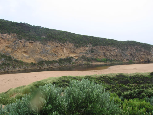
1. Rough sea bringing salt water into channel. Some salt return outflow. All water green/ blue colour. Salt fresh divide close to tunnel entrance. Scum around this area 2. Last high tide - high up on beach 3.Waves in all directions at mouth. Longshore drift bringing sand into channel. Almost no channel upstrean of rocks |
|
| #3323 | 27 Mar 2010 | Approved |
Notes:
1. Shallow outflow over a wide area ( about 10-20 cm deep) very slight discharge only around mouth. Waves entering channel and travelling upstream past rocks.(left side) 2.Channel size has decreased in width and depth upstream of rocks 3.Waves in all directions at mouth 4.Steep front to beach about 3-4m.above sea level. Highest at mid beach 5.Algae forming on sea grass - s/e side of estuary. 'Skin' visiable on water near tunnel despite movement from waves entering 6. Swans 2. Pied comorant 1. Many black cockatoos 7. 2ml rain at G6 Many white ibis on northern and western wetlands |
|
| #3363 | 5 Apr 2010 | Approved |
Notes:
1.Very shallow area between rocks and mouth, longshore drift continually bringing in more sand 2.Flow restricted from rocks back to near tunnel - very shallow 3.Rocks exposed at east end of beach and steep front to beach 4.seagrass beds exposed at east side of estuary. Scum forming along s/e side of estuary 5. Many small (10-15cm) fish along south side of estuary 6.Pied comorant (1) 7.6ml rain on 02.04.100 |
|
| #3385 | 11 Apr 2010 | Approved |
Notes:
1.Rough sea entering channel. Salt/fresh divide about 40m. upstream of rocks. No fresh discharge Steep front to beach. 2.Longshore drift bringing more sand into channel. Waves in all directions downstream of rocks and much turbulance in channel up stream 3.Wind gusts up to to 8 creating waves up to 50cm in estuary 4.Rainfall from 6th April to 11th April at G6 = 51ml |
|
| #3423 | 17 Apr 2010 | Approved |
Notes:
1. waves in all directions entering mouth and travelling up the channel. Only salt return flowing out. 2. Salt/fresh divide clearly visiable just upstream from tunnel(constantly moving) 3.Longshore drift continues to bring more sand into channel. Height and steepness of beach front reducing. Mouth very shallow 3.Tide has been high on beach in estuary 4. |
|
| #3461 | 23 Apr 2010 | Approved |
Notes:
1.Shallow discharge out to south and around mouth. Longshore drift bringing more sand back into channel 2. Height of beach front reduced by rough sea 3.Small dead fish 30mm. on sand in estuary. 4. Extremely wet and windy - only 1 photo taken |
|


All content, files, data and images provided by the EstuaryWatch Data Portal and Gallery are subject to a Creative Commons Attribution License
Content is made available to be used in any way, and should always attribute EstuaryWatch and www.estuarywatch.org.au