EstuaryWatch Data Portal
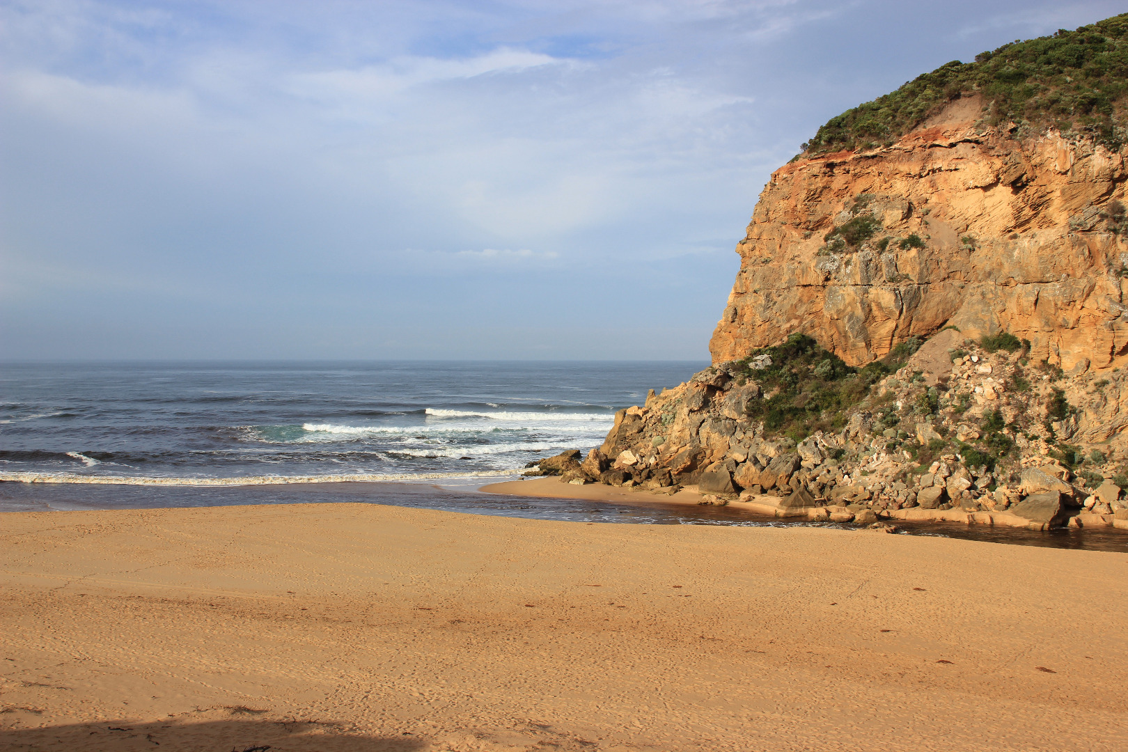
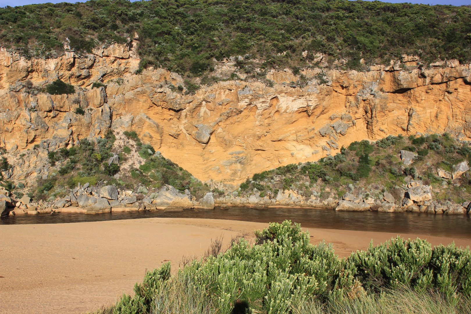
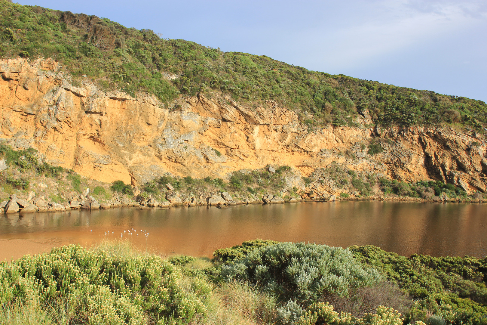
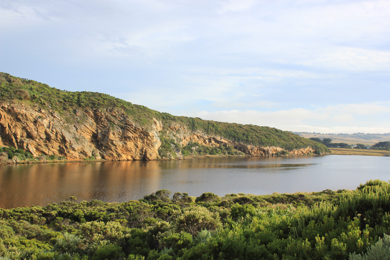
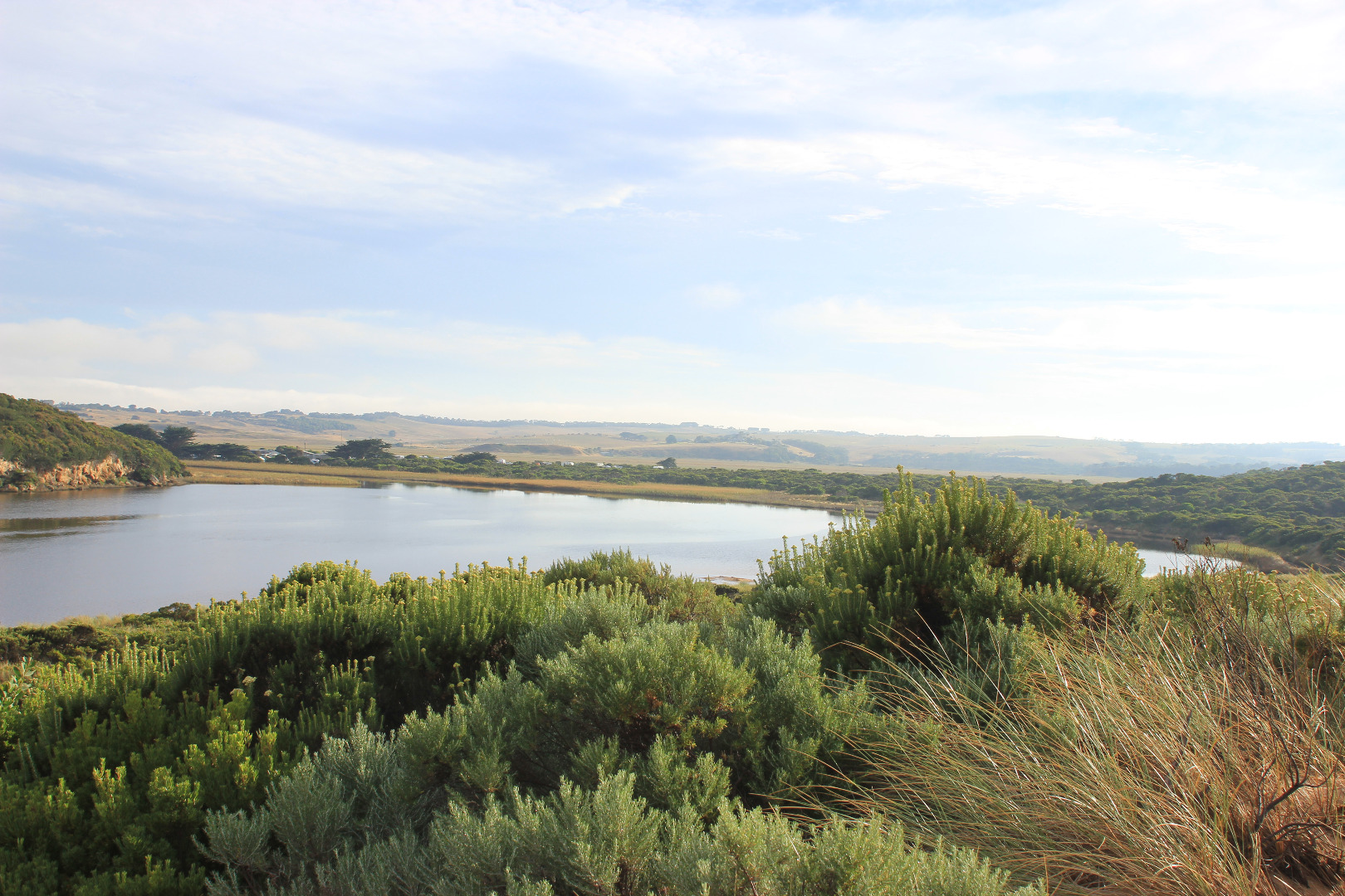
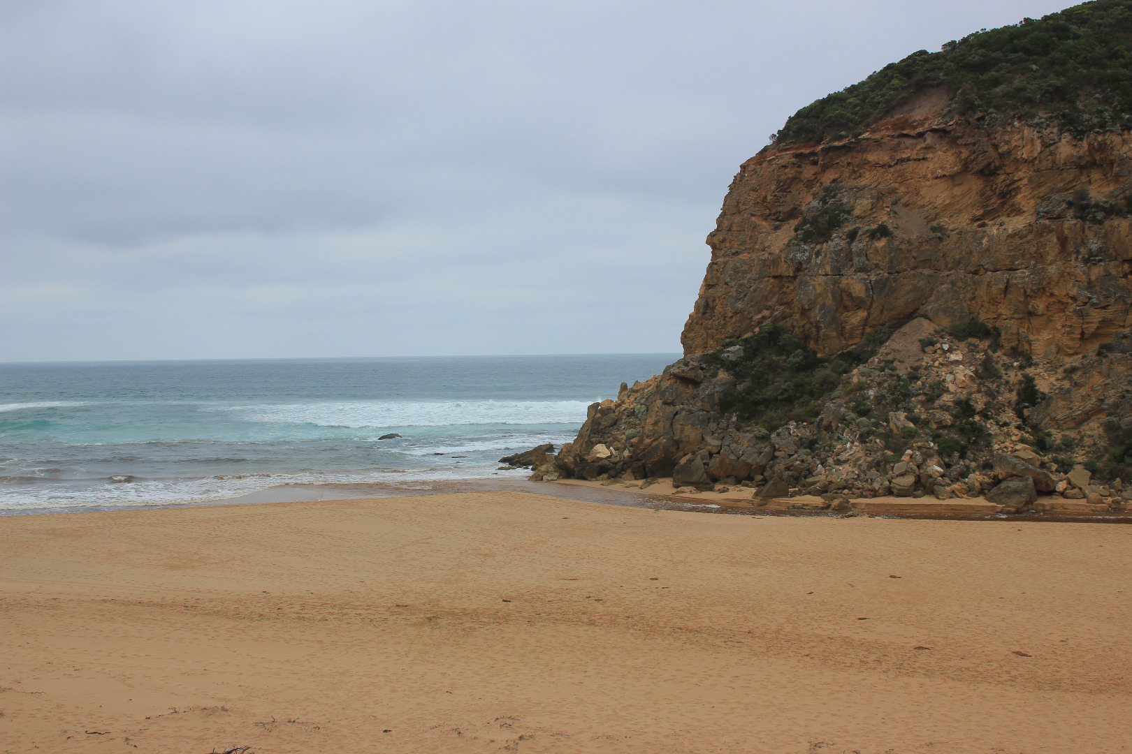
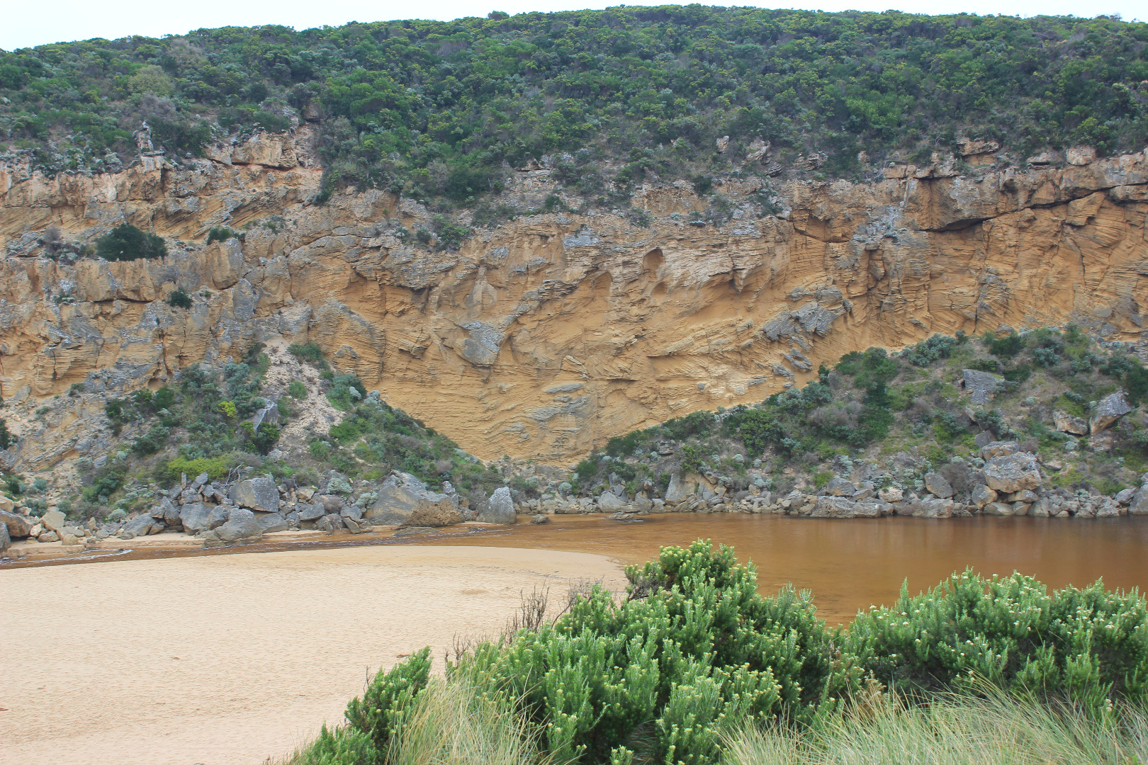
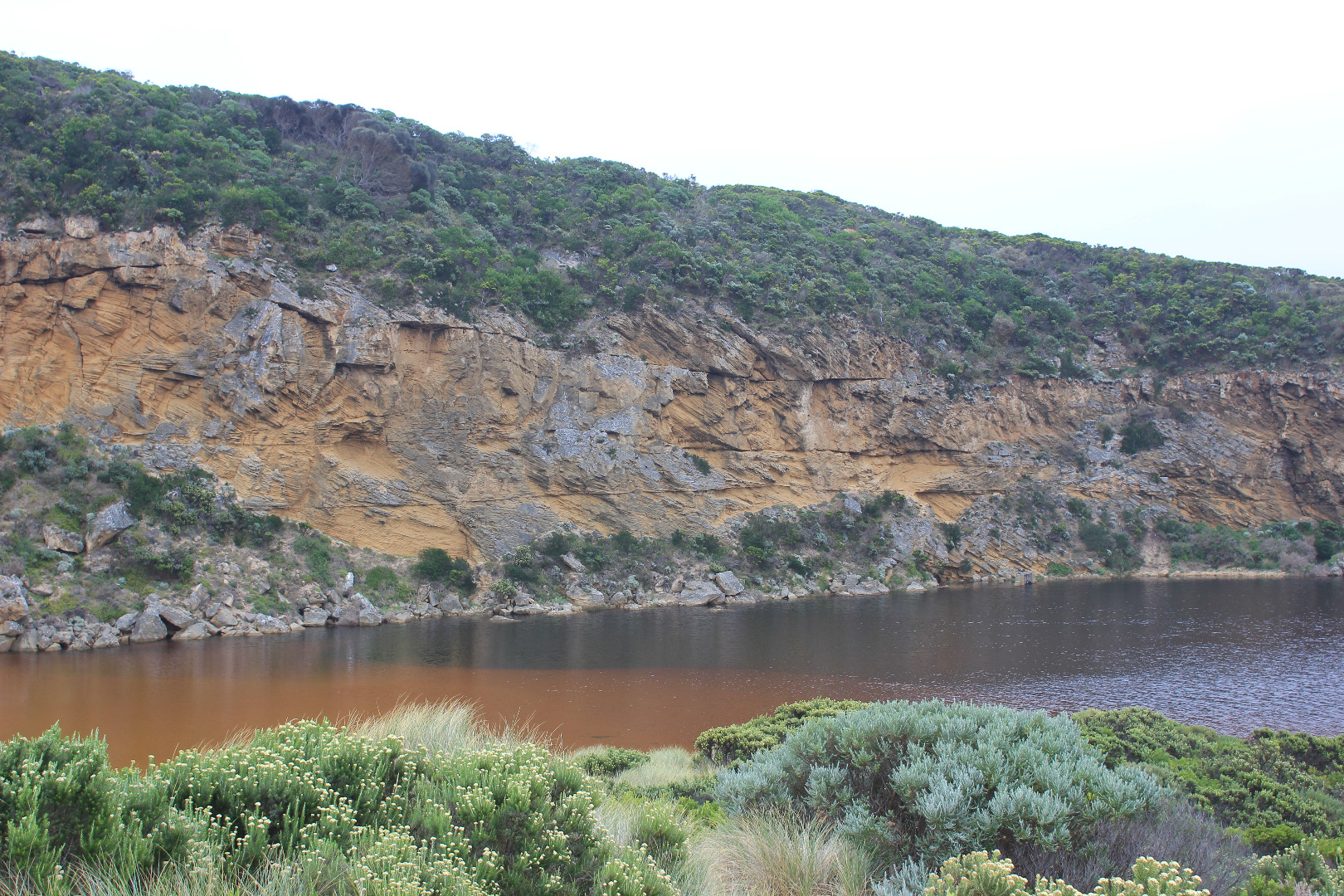
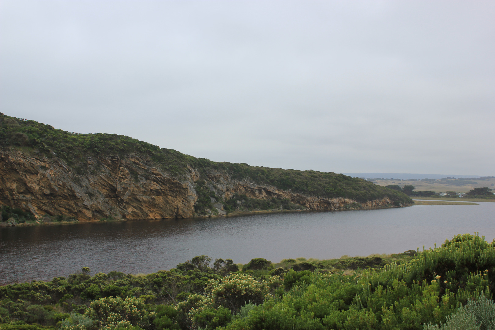
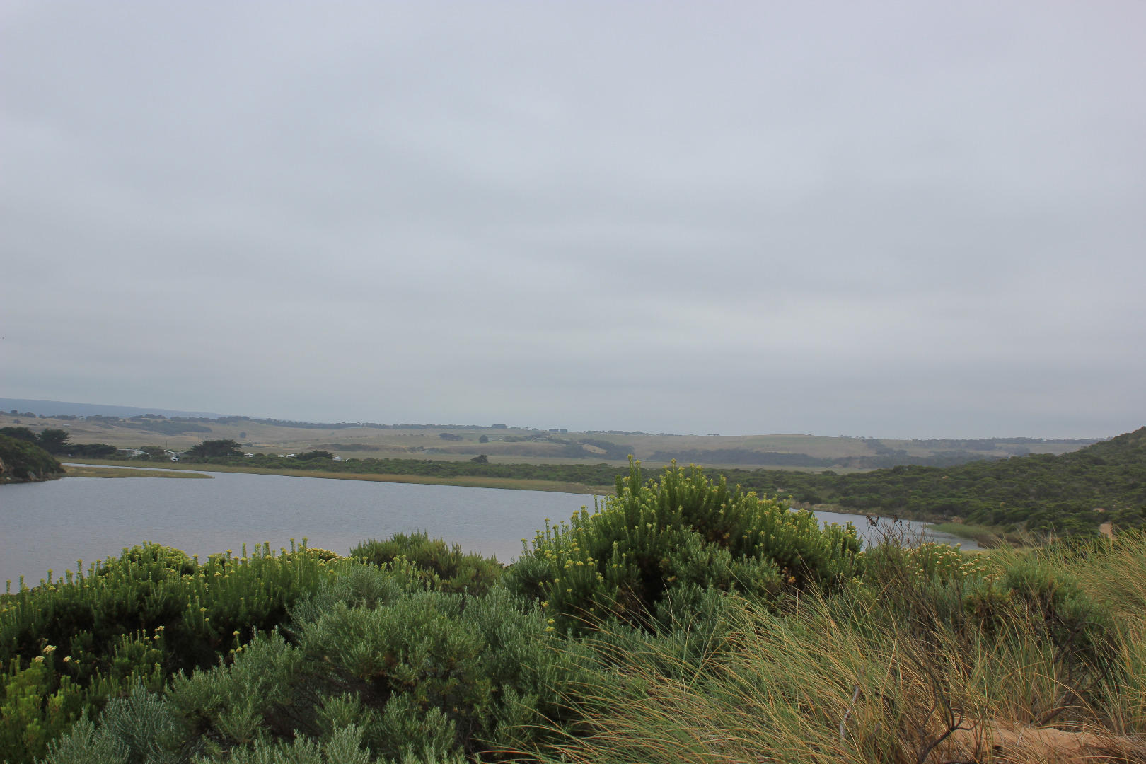
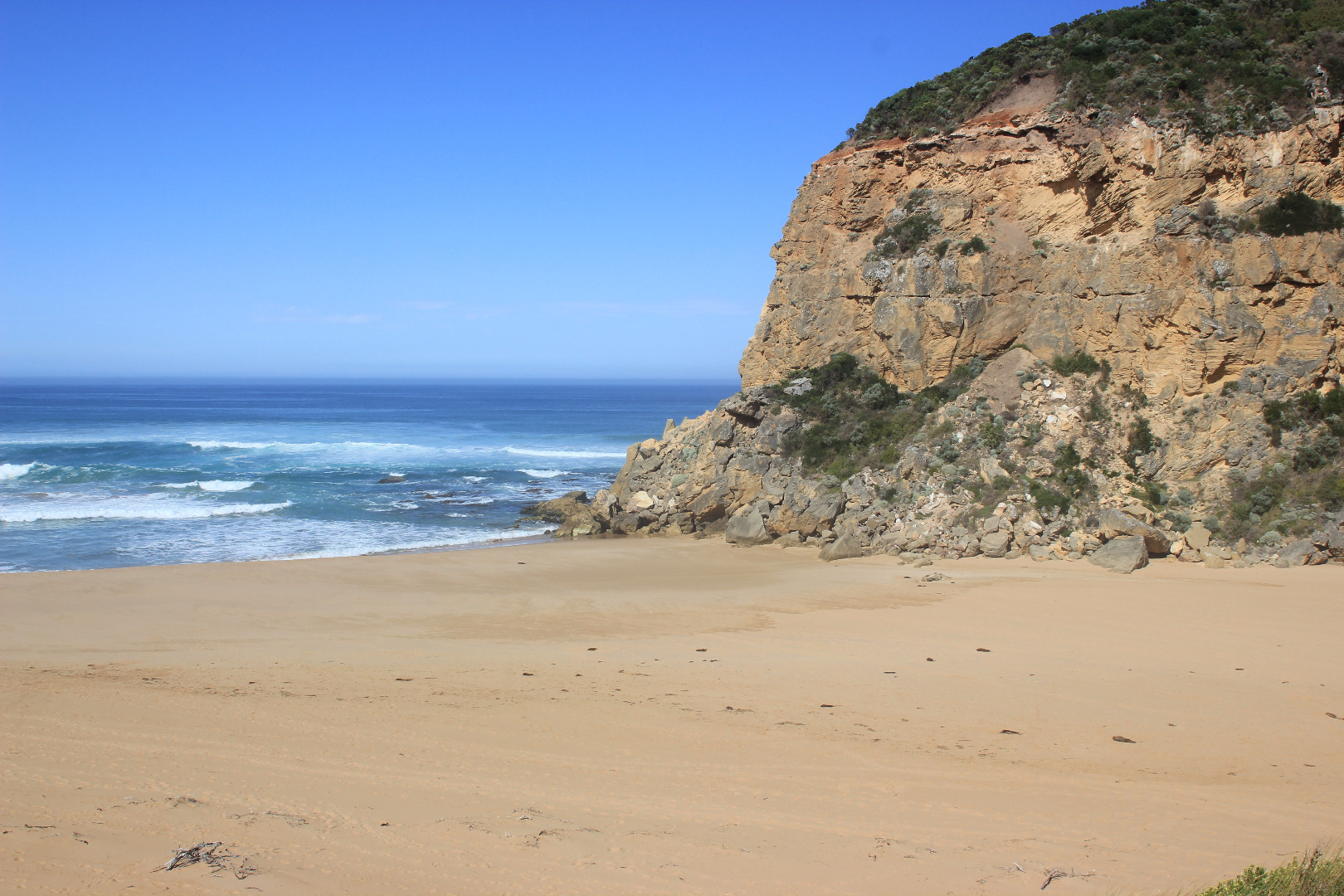
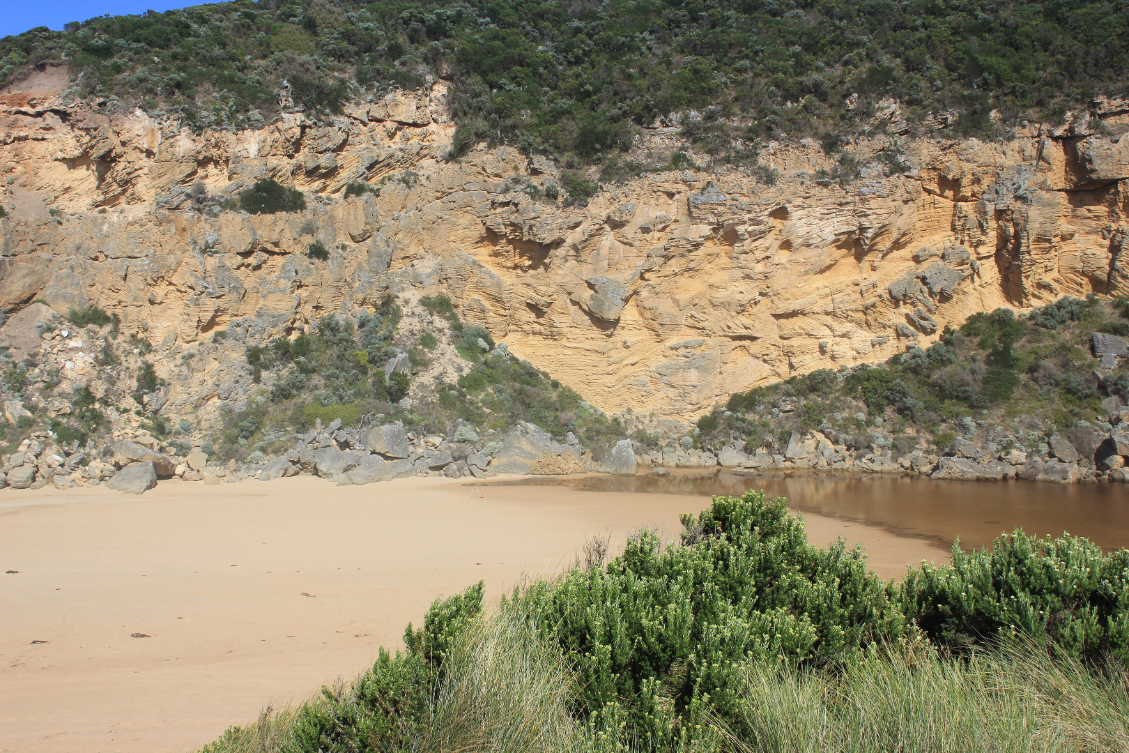
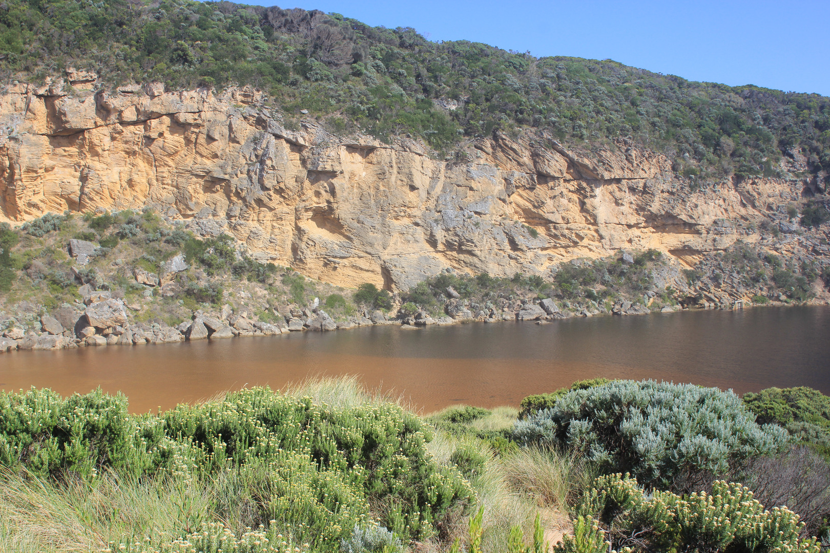
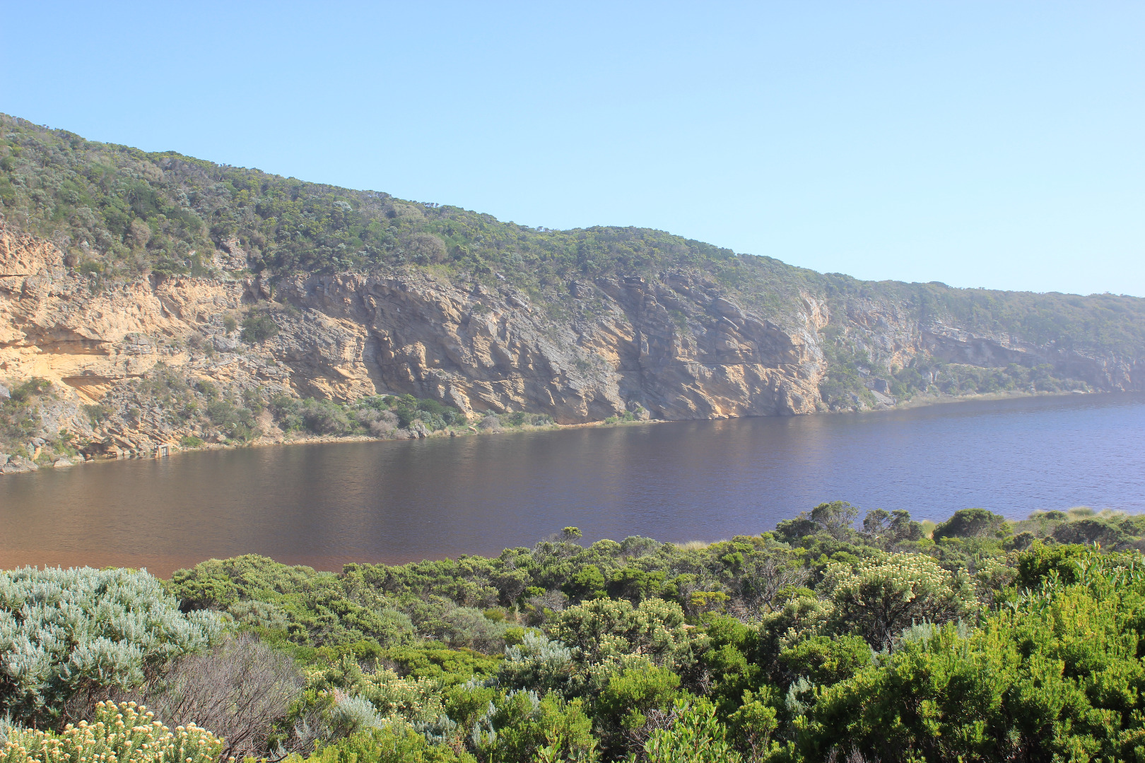
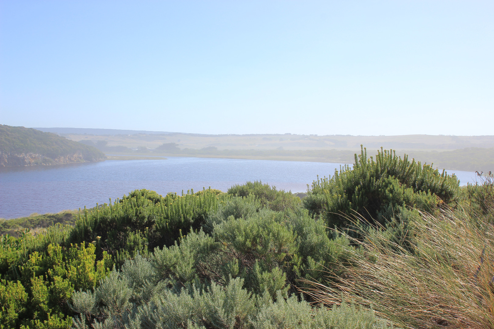
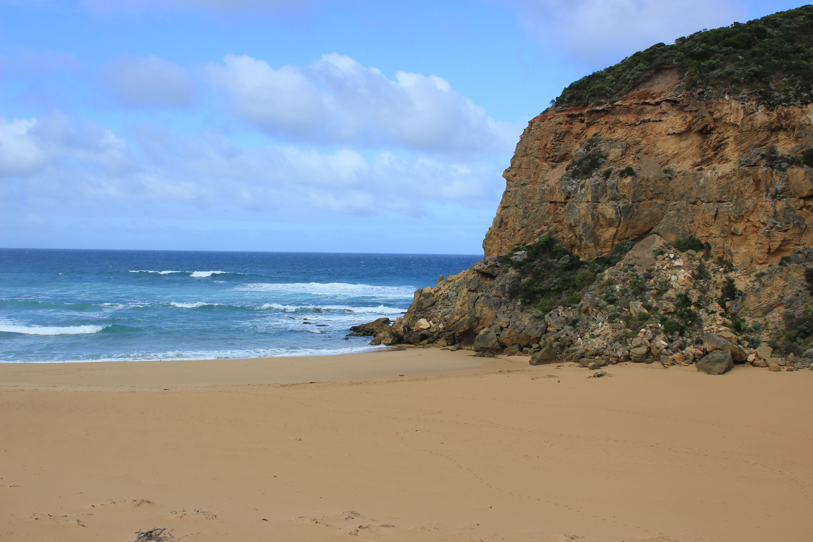
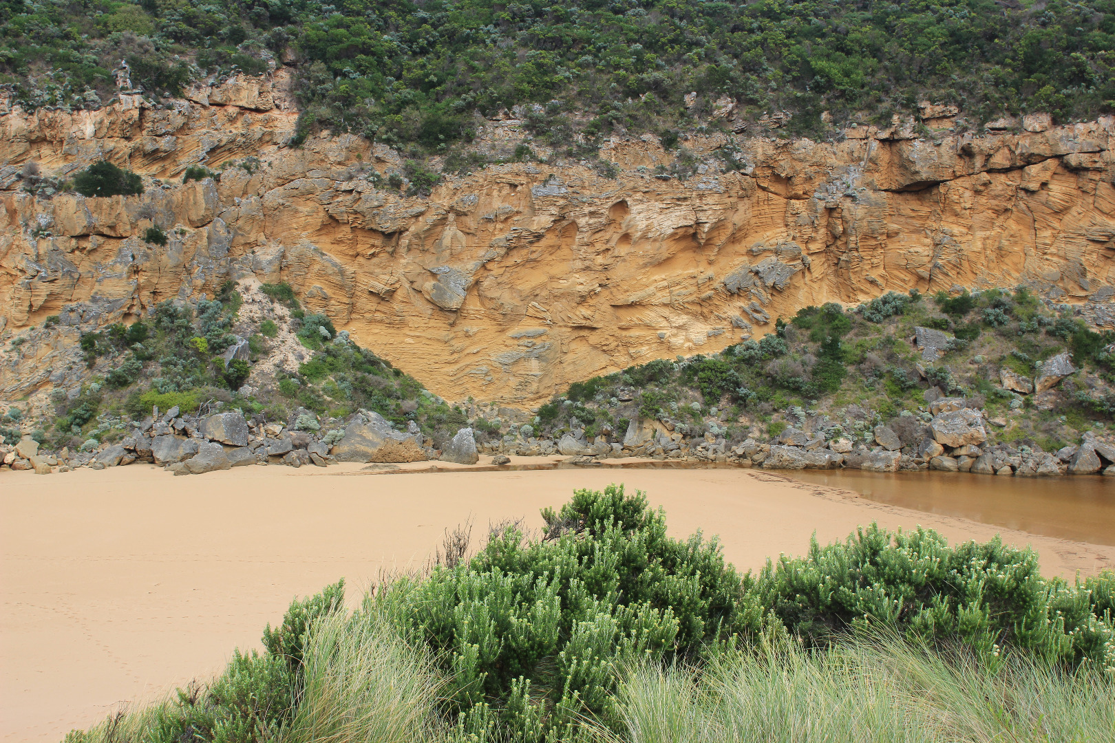
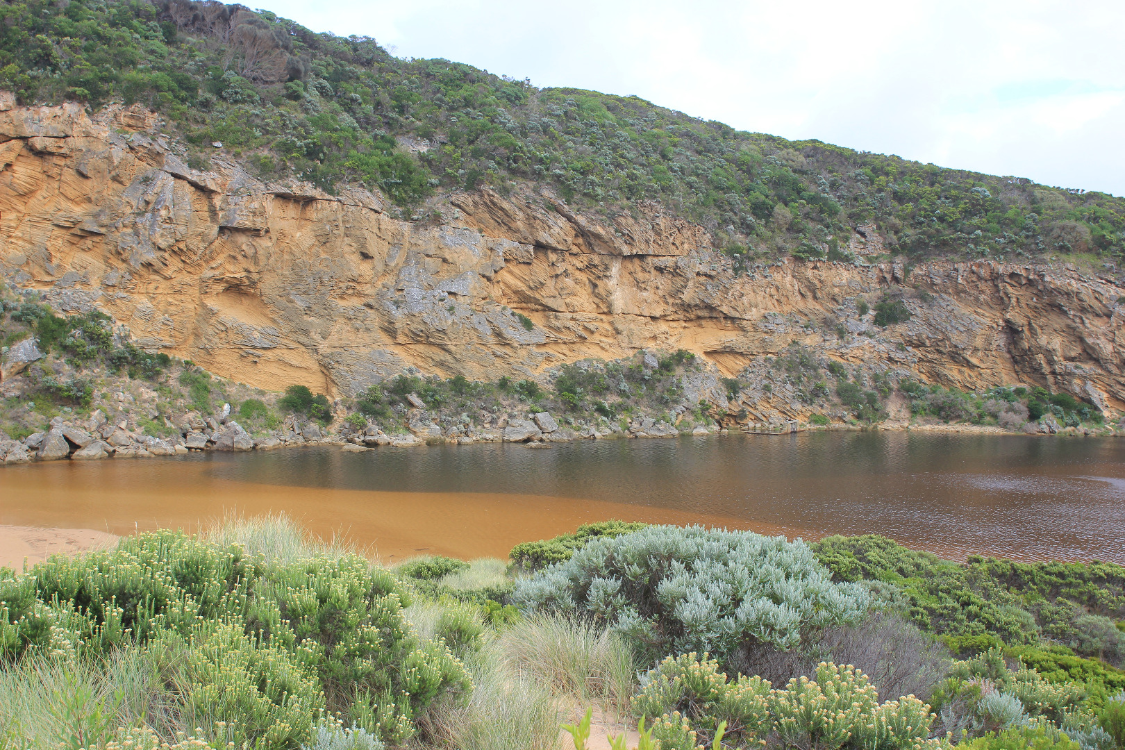
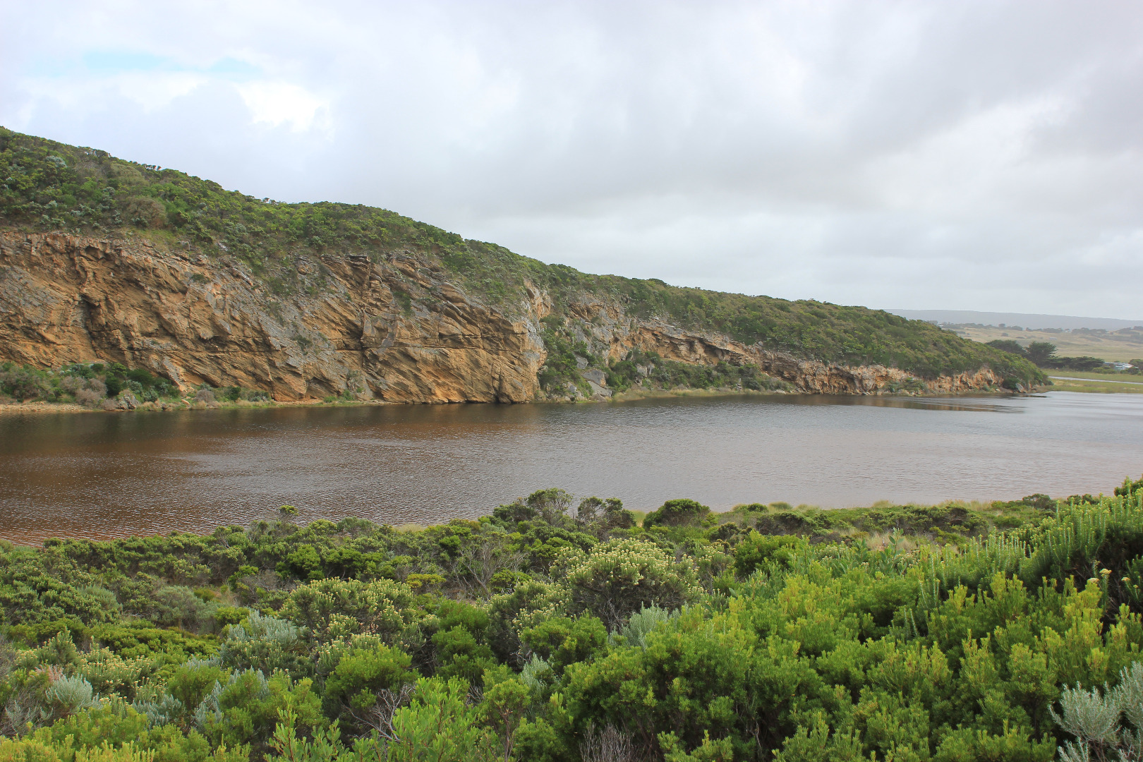
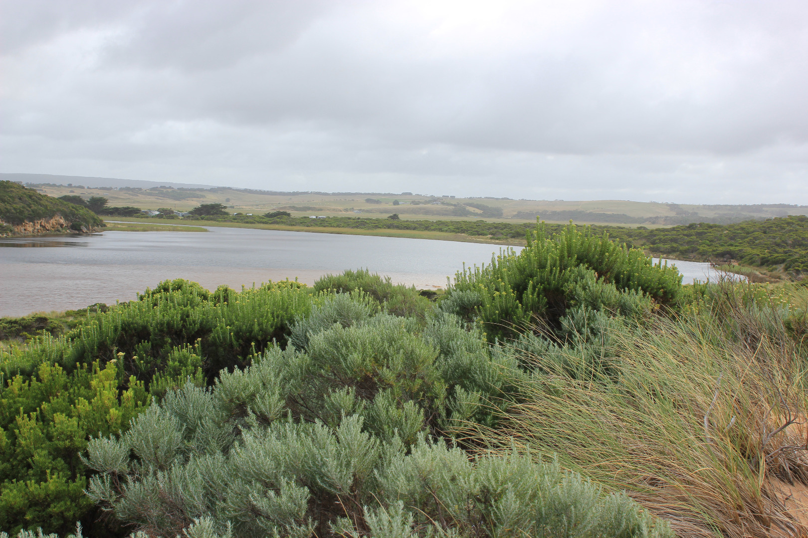
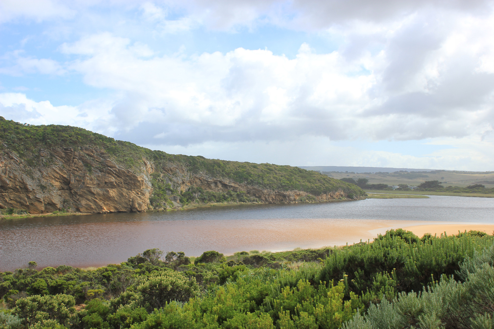
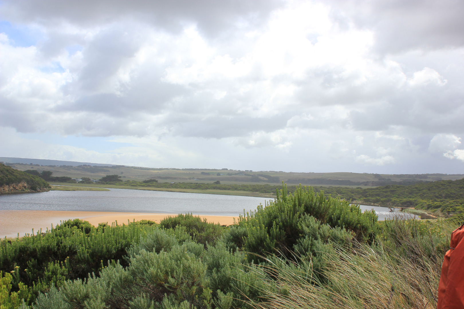
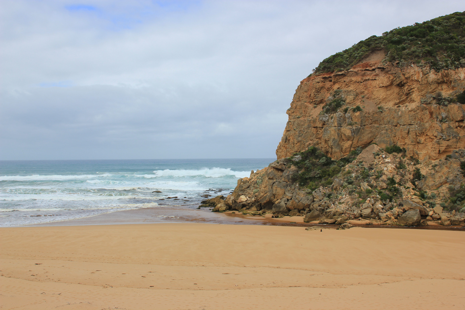
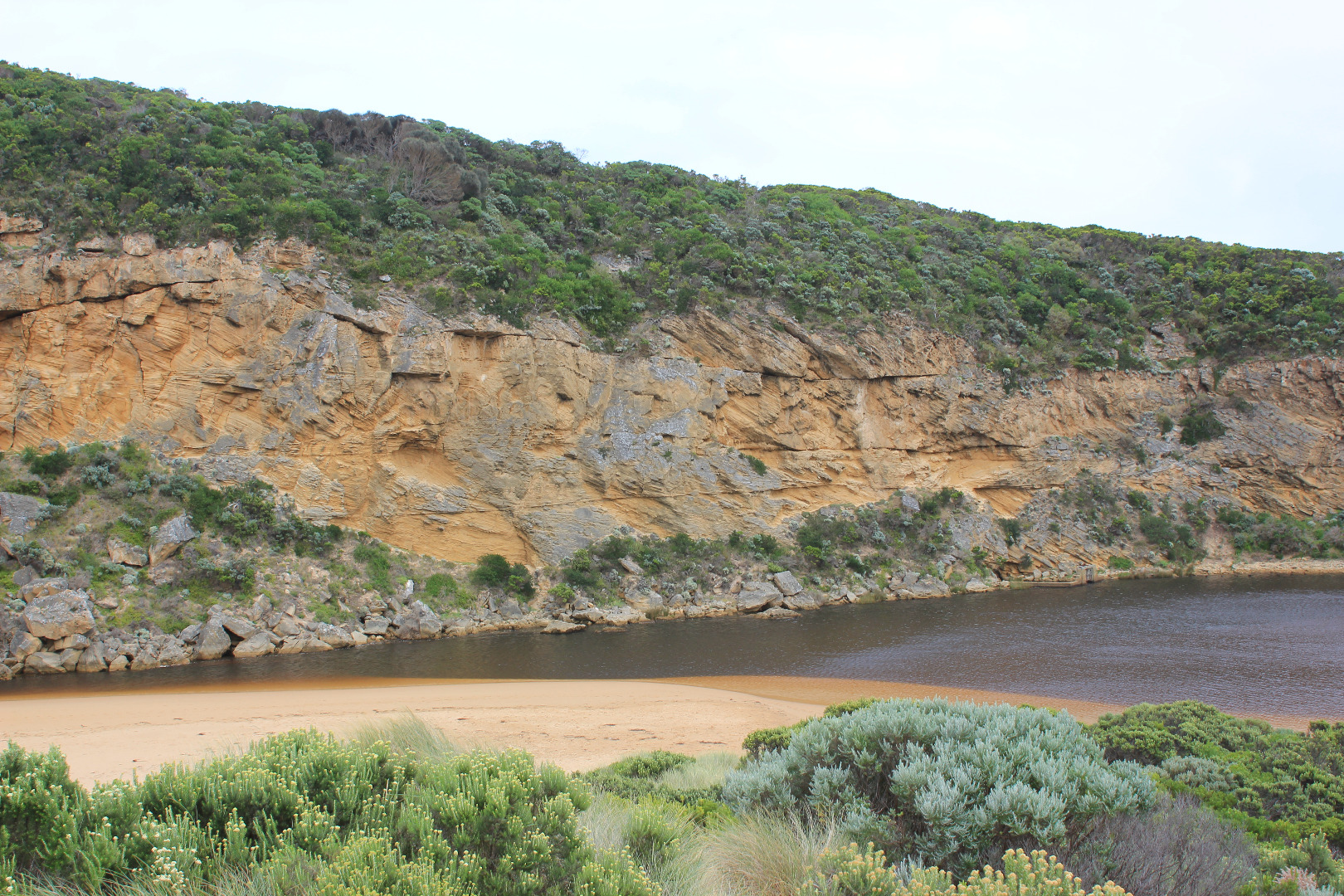
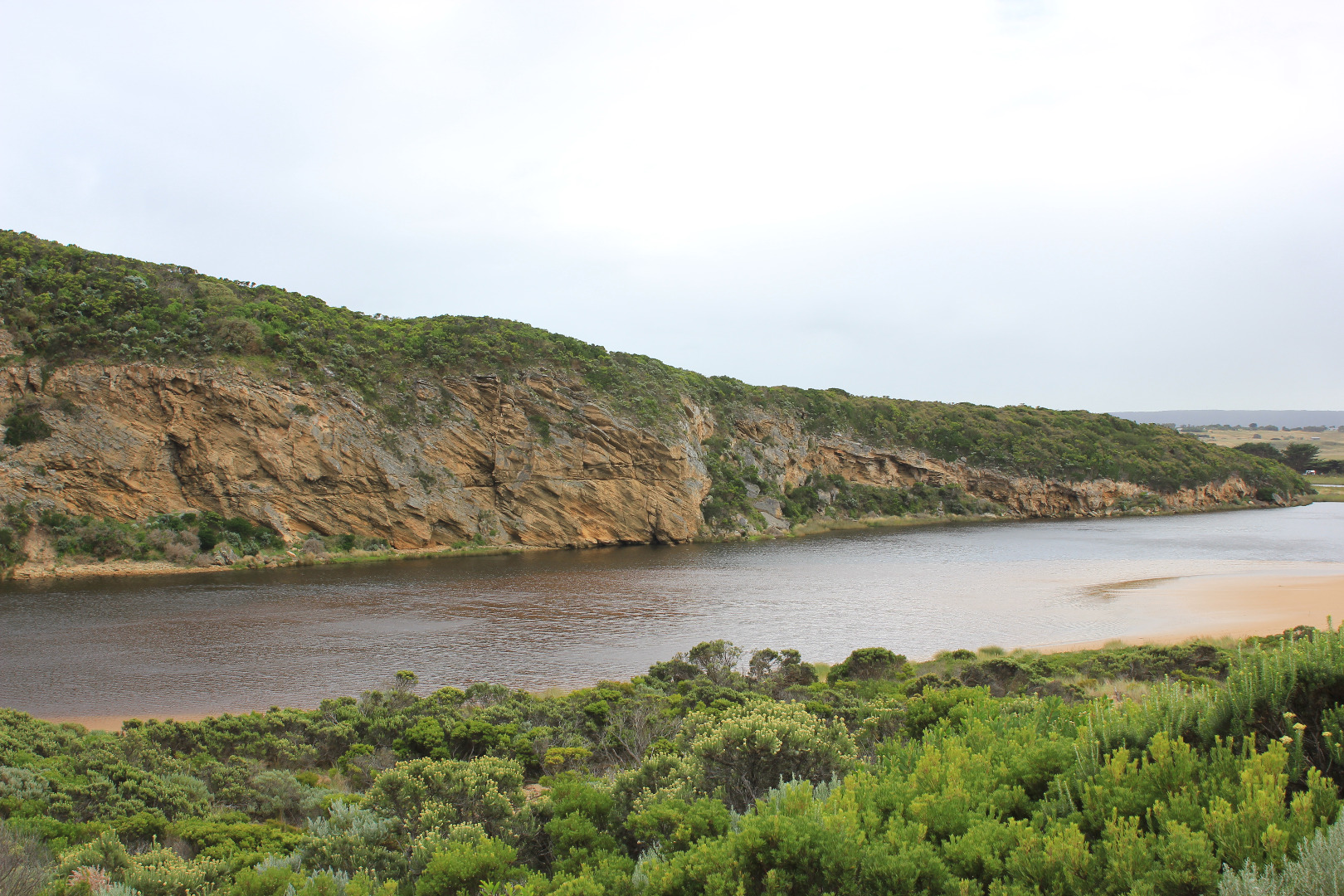
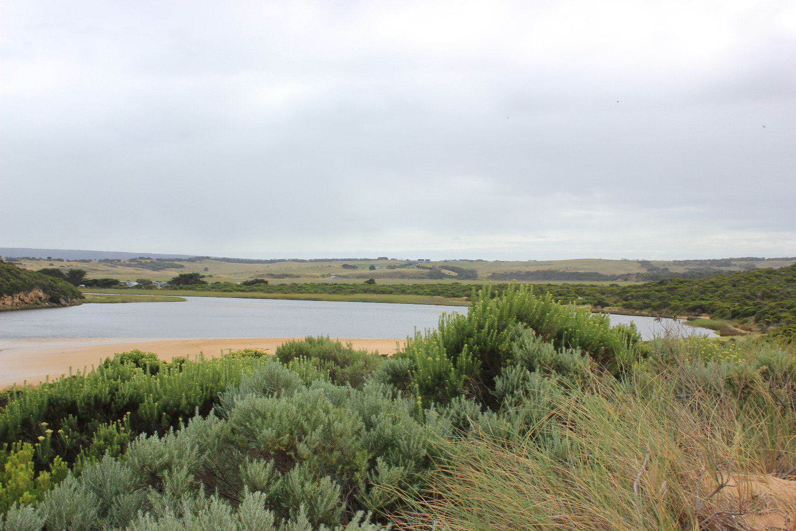
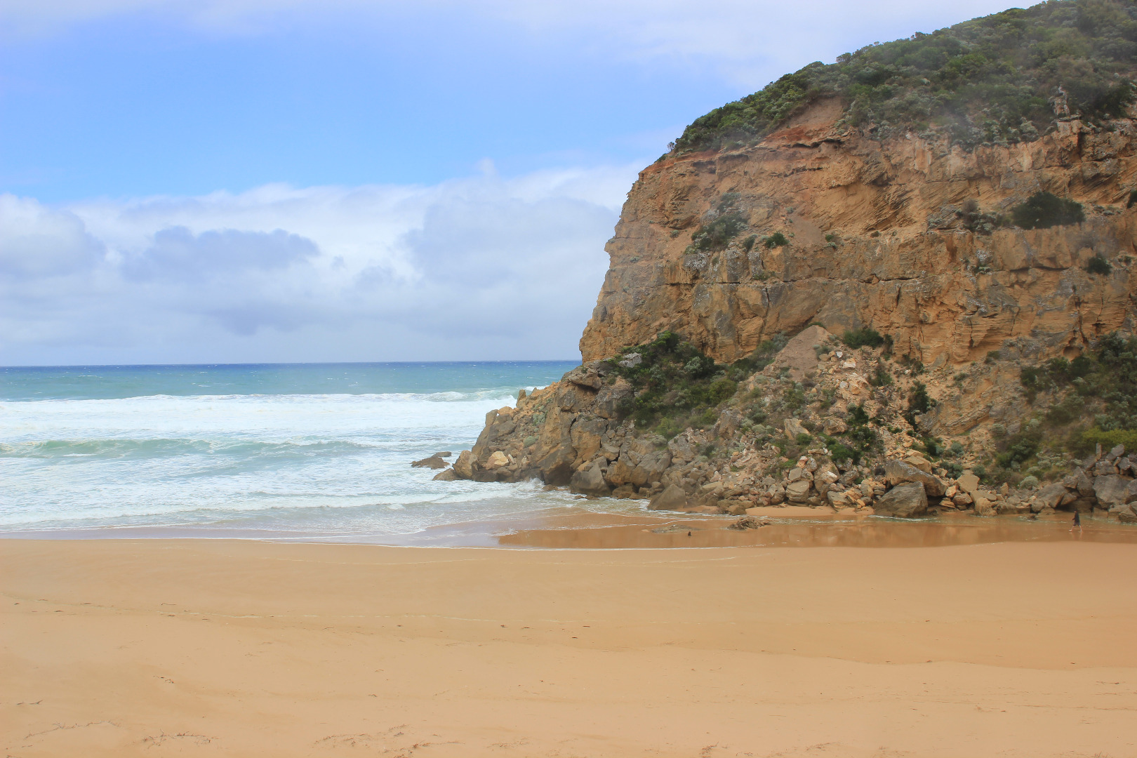
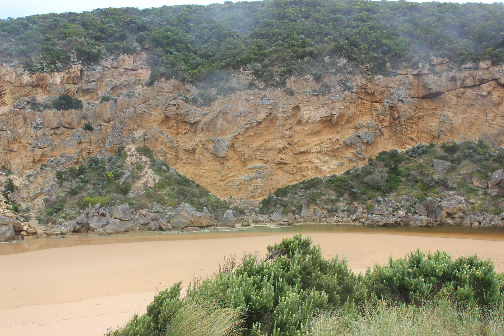
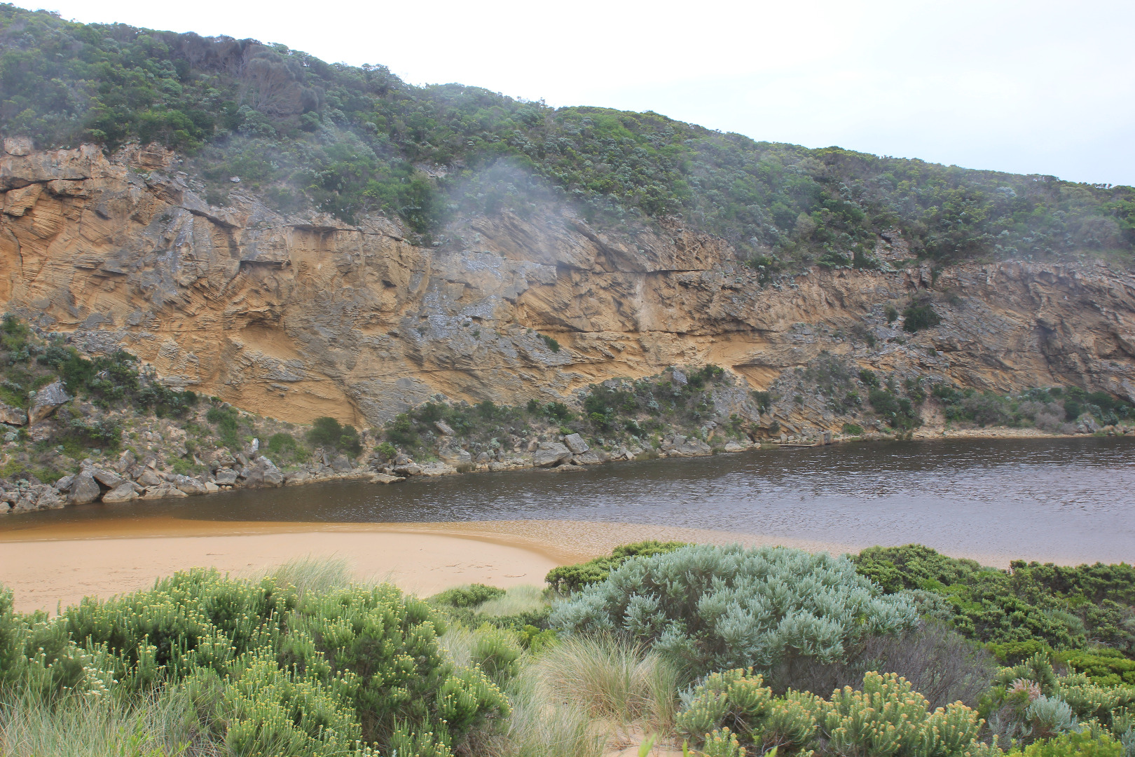
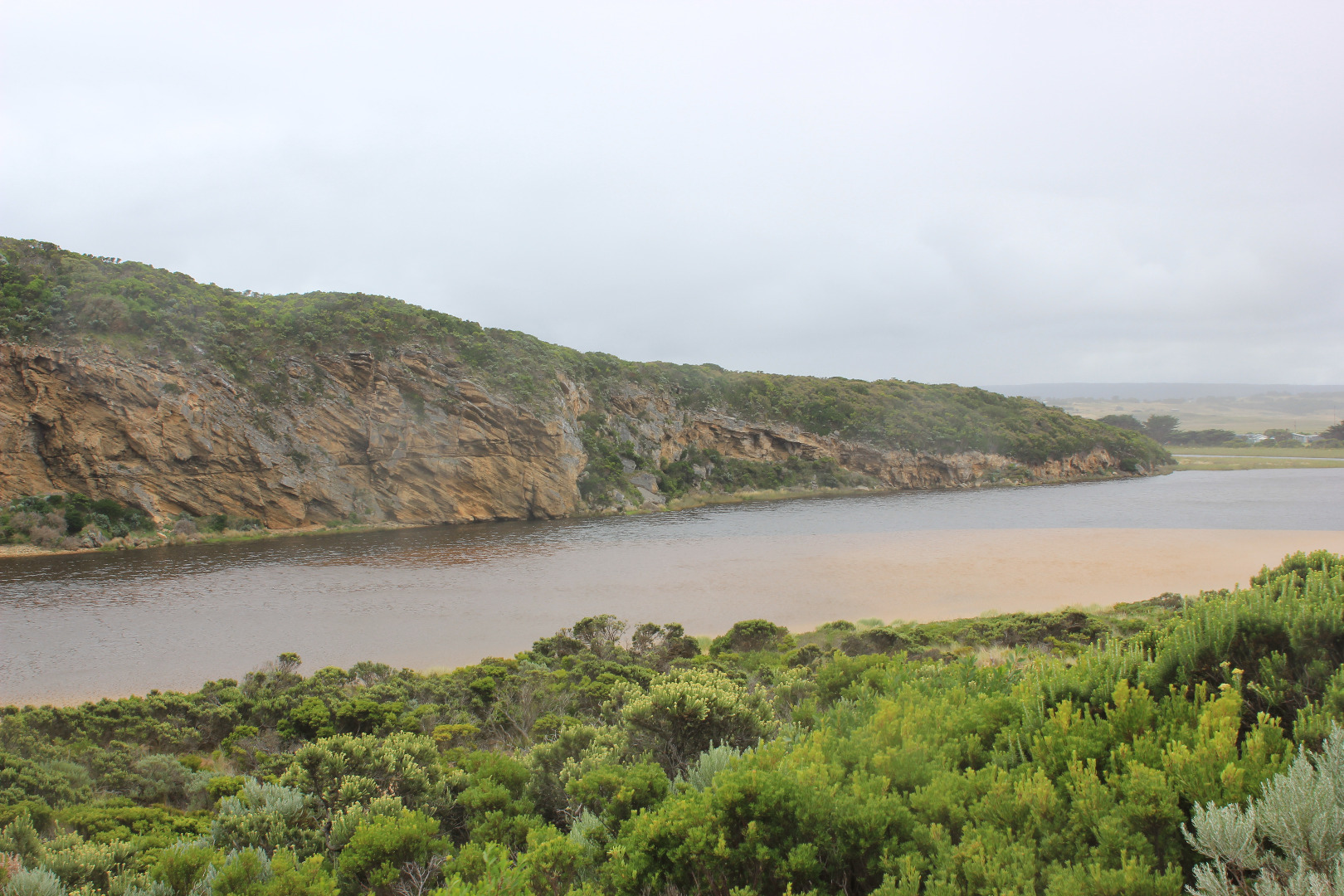
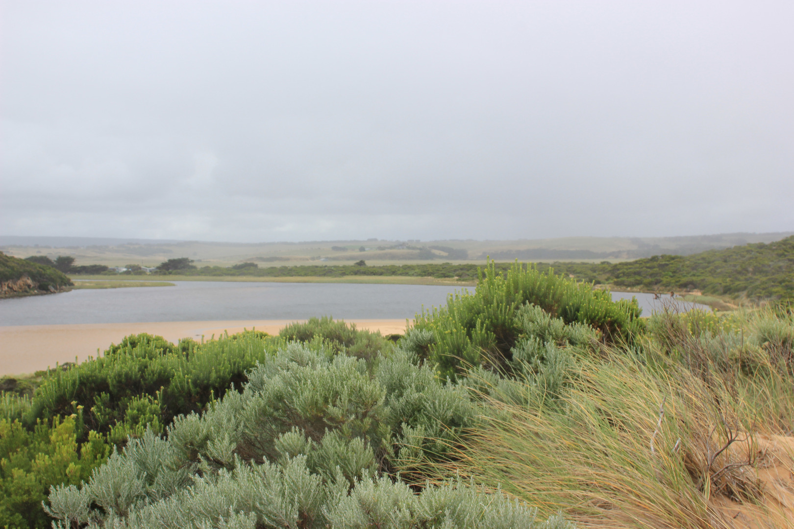
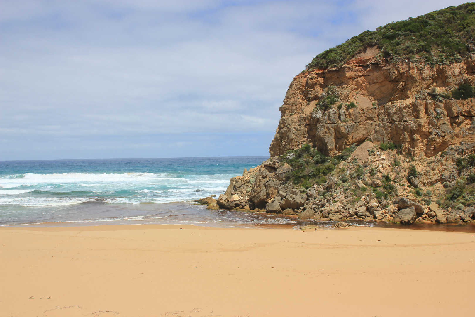
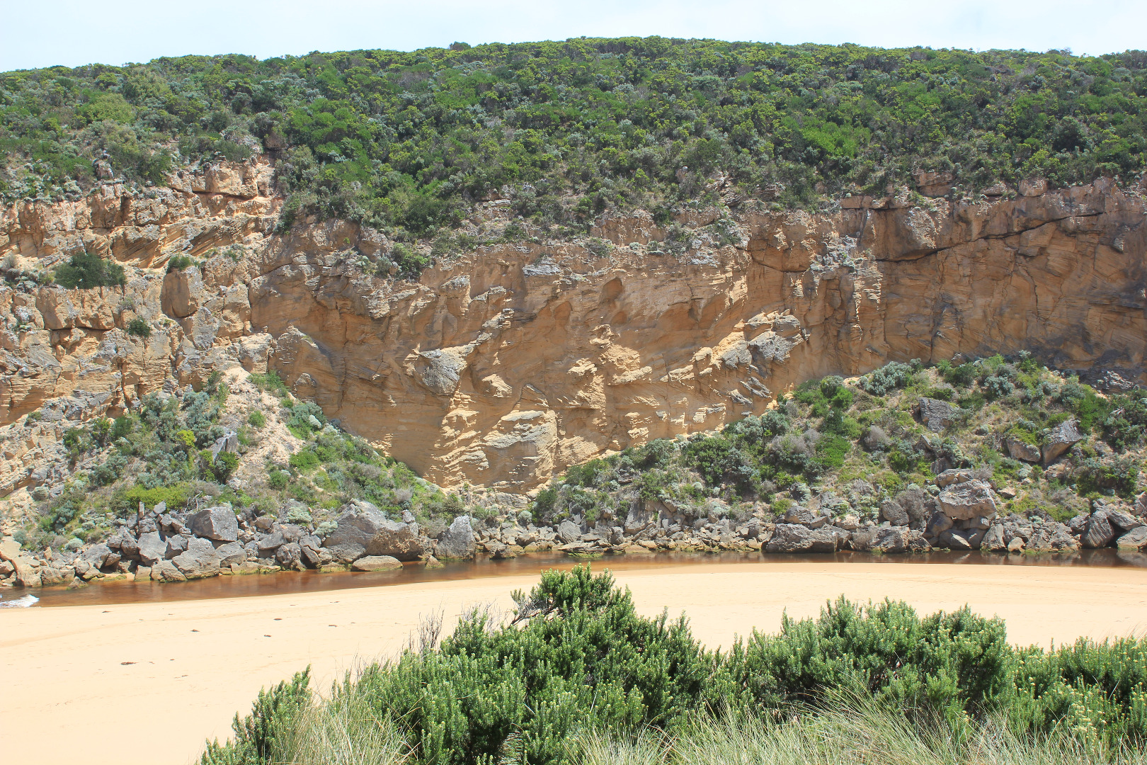
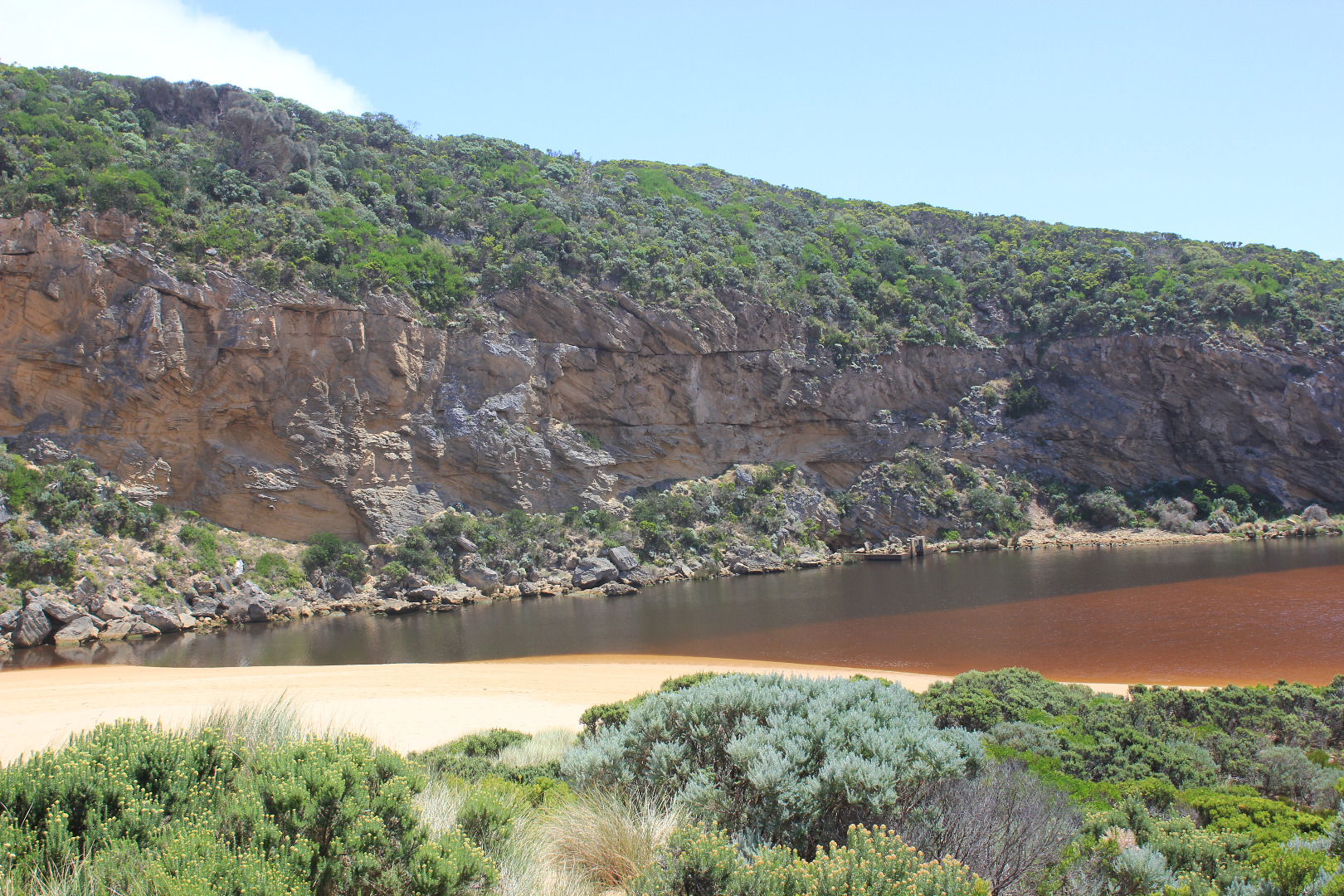
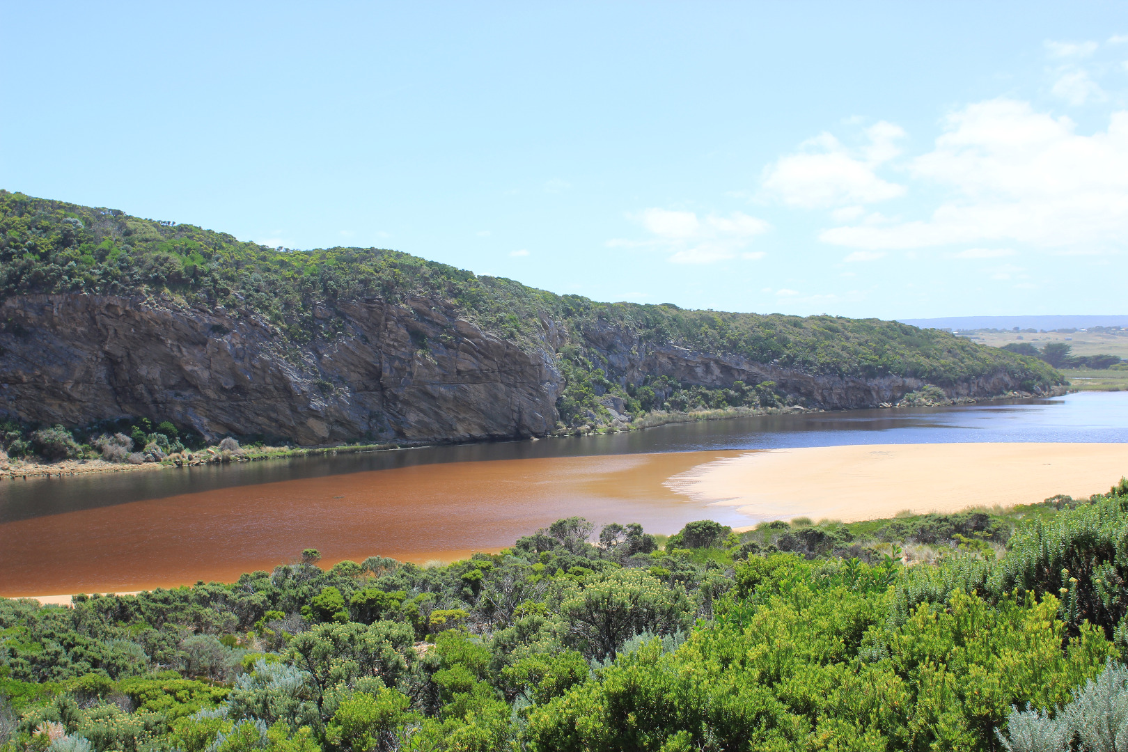
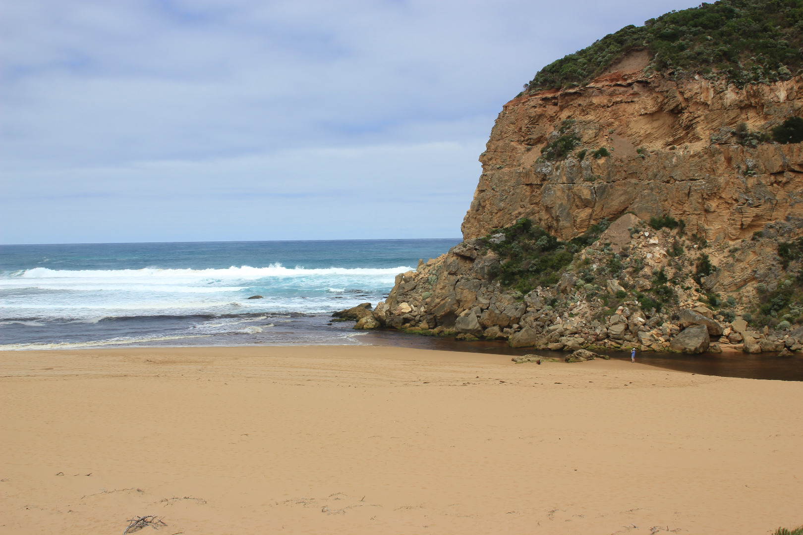
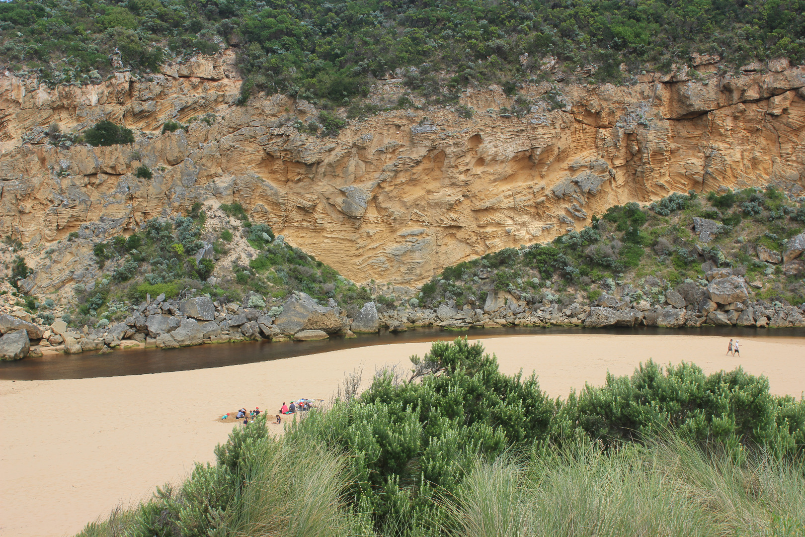
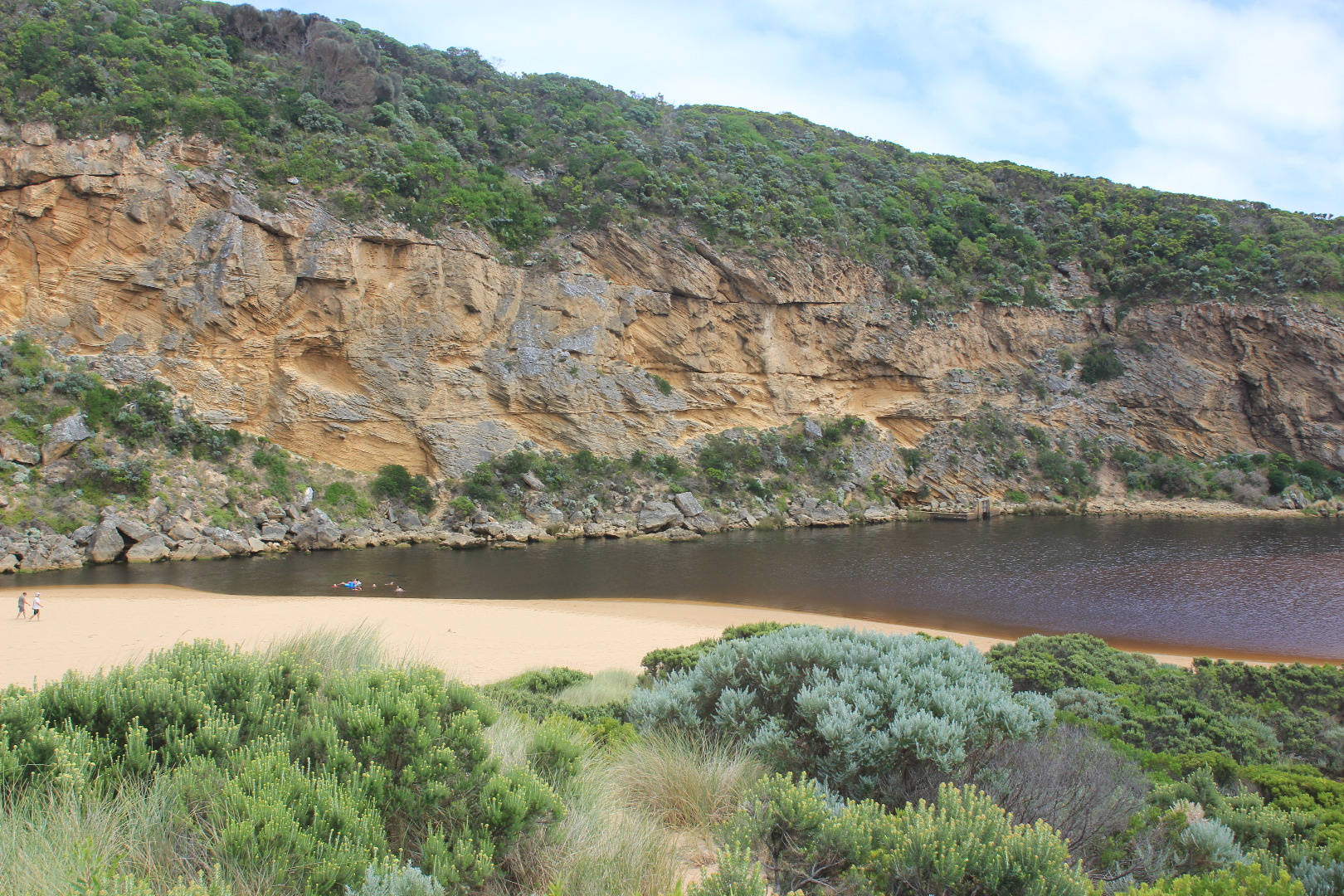
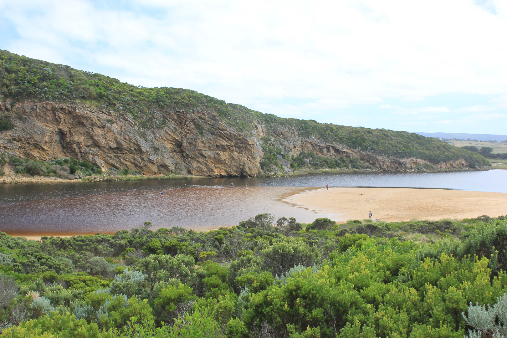
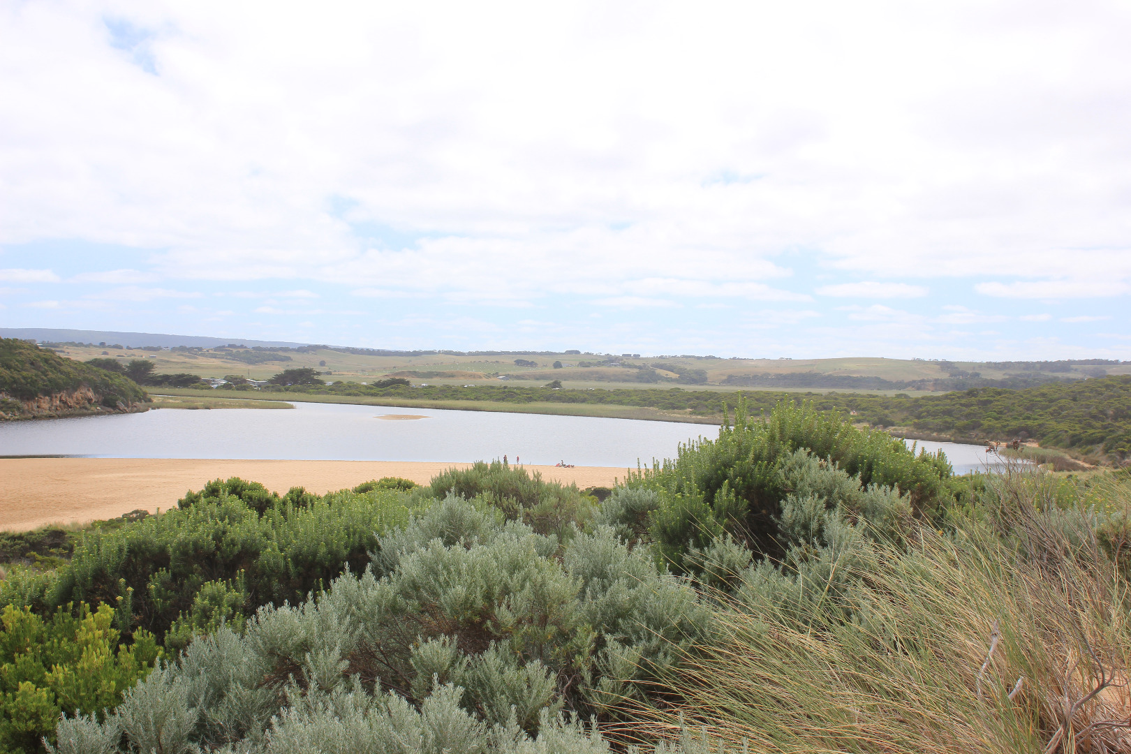
GMC Gellibrand River Estuary Mouth Observation Site
Active Mouth Condition 20-04-2007 - 19-04-2024Gellibrand River Estuary
| ID | Date | Status | Details | |
|---|---|---|---|---|
| #10985 | 11 Mar 2017 | Approved |
Notes:
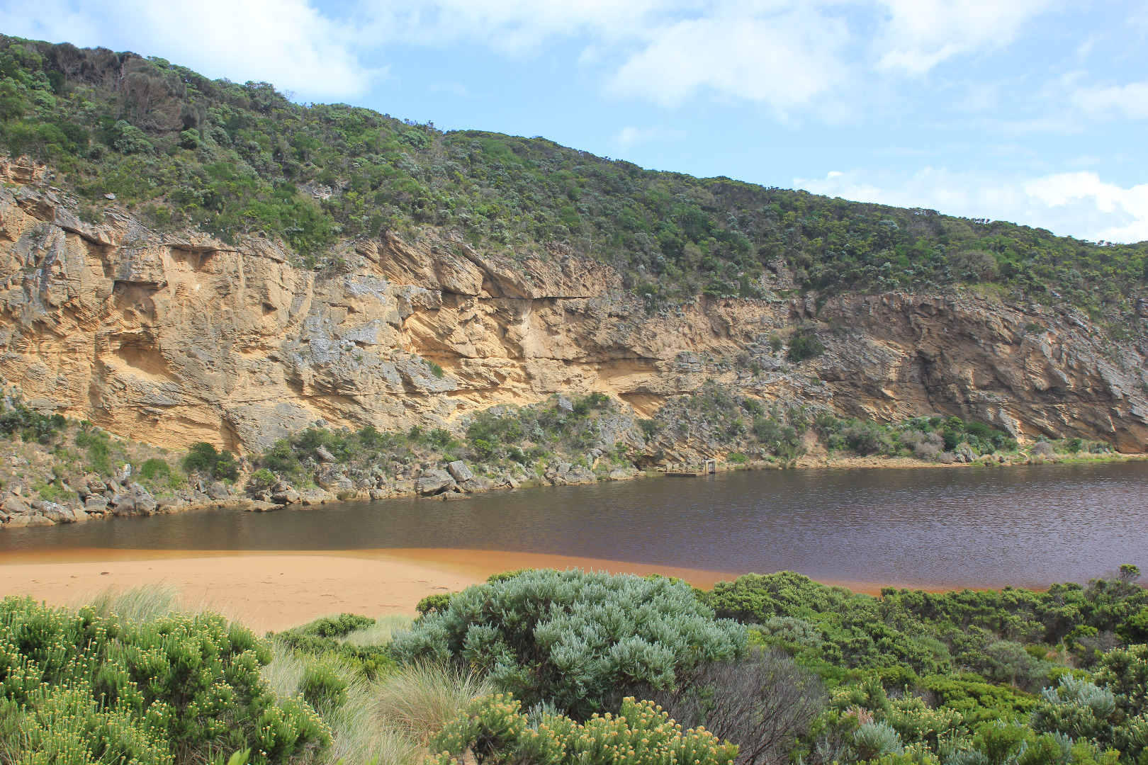
Dark discharge out around mouth & along beach face to east end & also out to sea at end of new sandbar forming about 30- 40m out from mouth, also a 2nd. small bar seems to be forming from cliff across entrance Out flow wider & deeper but being held higher in curve at 'rocks'(only 1 uncovered) after which it turns toward east with sides up to about 2m. Beach curved high at E end & projecting out to sea at mid beach Red sediment/algae?& iridescent slick on water surface S/E & E side of estuary.Water flowing along west bank(G2) from Latrobe creek contains fish with open mouths at surface but large amount of small fish activity along shallow water at side of low track- 1 dead Silver Trevally at start of estuary/channel Water nearly drained from all areas up stream |
|
| #10984 | 10 Mar 2017 | Approved |
Notes:
Very strong outflow with high waves going downstream. Channel wider & deeper sheer side of channel 1.60m. Dark discharge E along beach face but also diagonally out to sea behind breakers. Strong backwash, rip & long shore drift at entrance,. Only rock closest to cliff starting to be exposed. Beach highest at east end dropping down to mouth, projection remains. Despite strong out flow water level has not dropped in estuary. 1 dead Flathead FOUND NEAR START OF CHANNEL |
|
| #10983 | 9 Mar 2017 | Approved |
Notes:
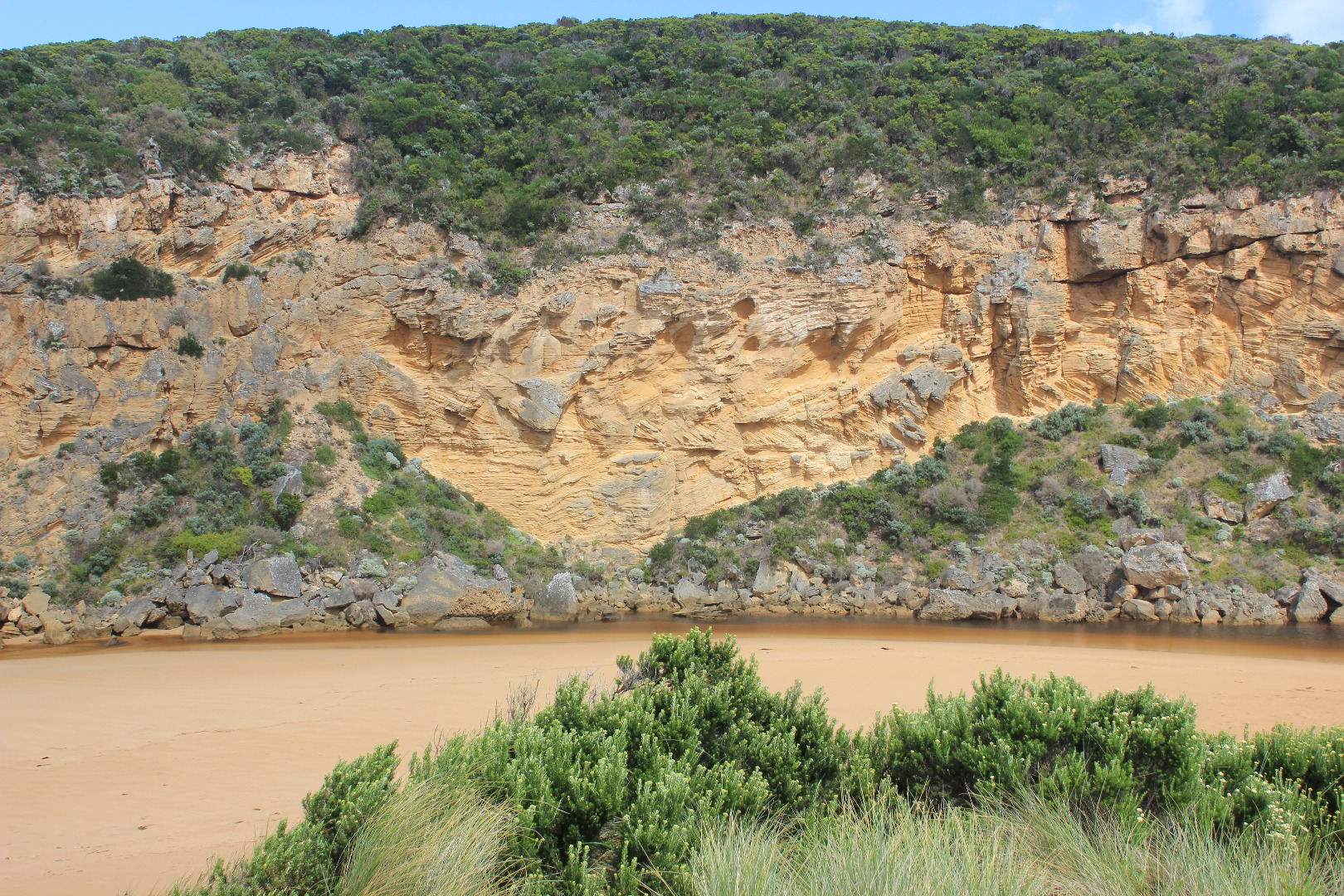
Natural opening occurred late 08/3/17 - planned Artificial Opening for 09/3/17 was not required. Mouth opened against the cliff after sweeping around in a wide shallow curve with a sheer east side of about10-60cm.The actual opening was very narrow with the projection V shaped pointing toward the cliff, the flow then turned S/E against through the berm (about 85 cm. high), the out flow was shallow & gradually turned sharply to east along beach face during the day. The restricted area of the channel was much closer to the sea than the usual restriction of the rocks that normally hold back the flow. Beach was highest at east end with sand projecting out to sea mid beach then slopping down to entrance where the berm rises higher Fish were gasping at the surface at G2 but further down in the estuary along E & S side were swimming downstream to entrance. 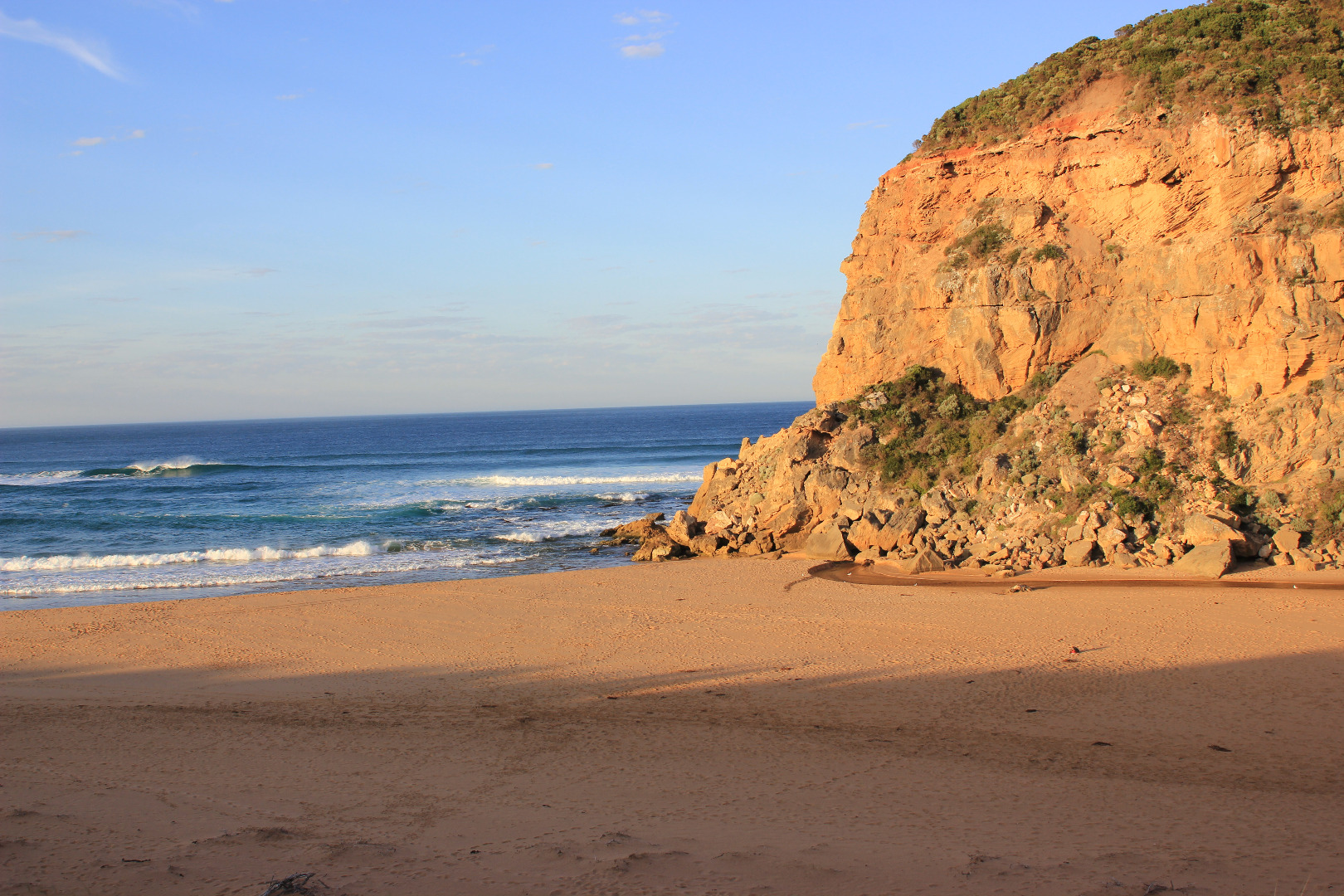 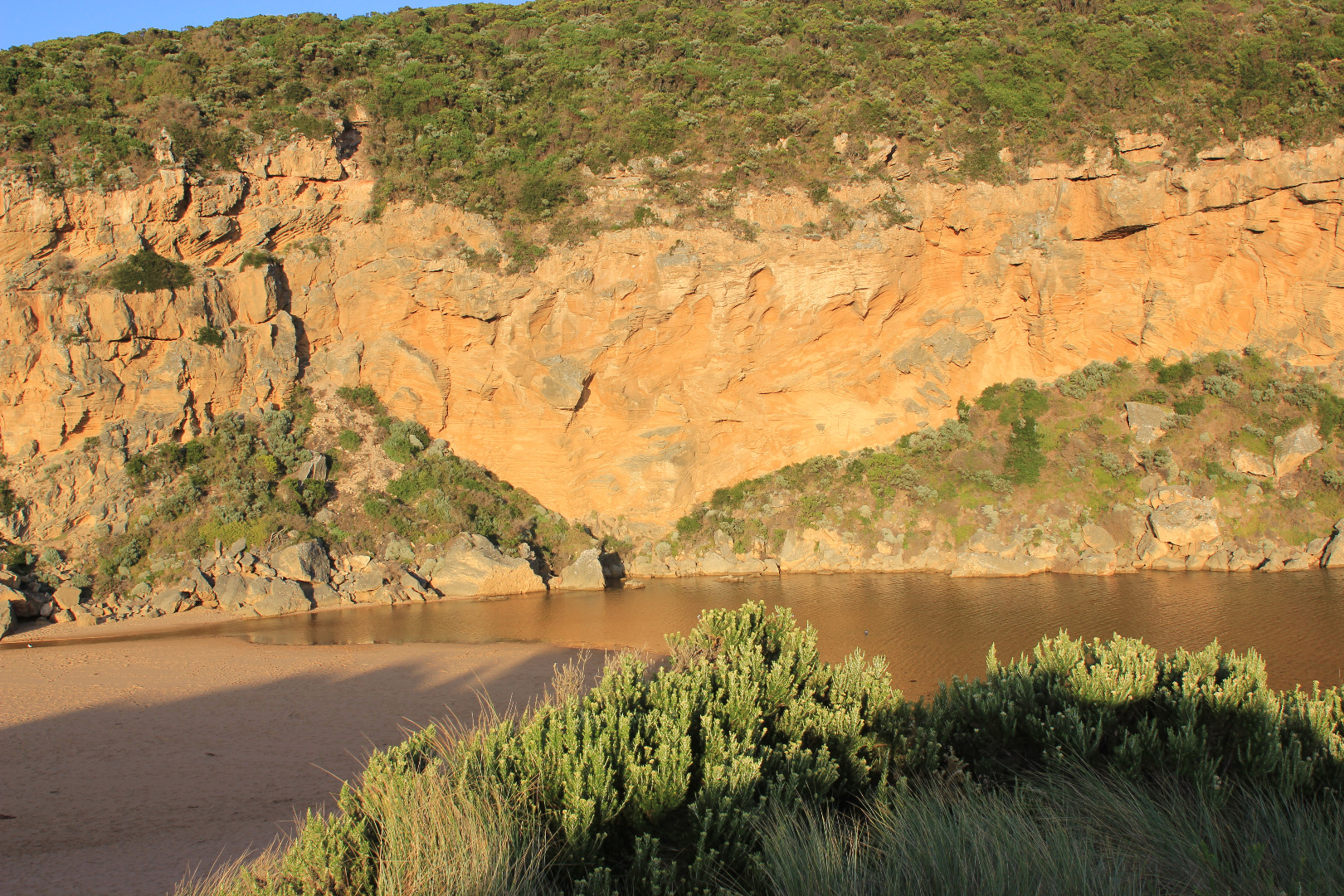 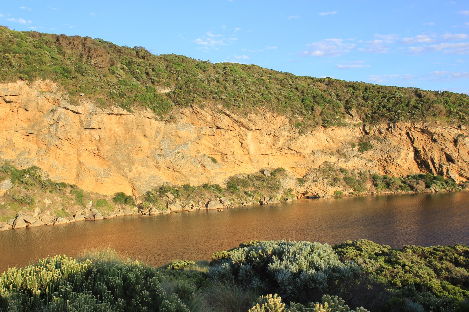 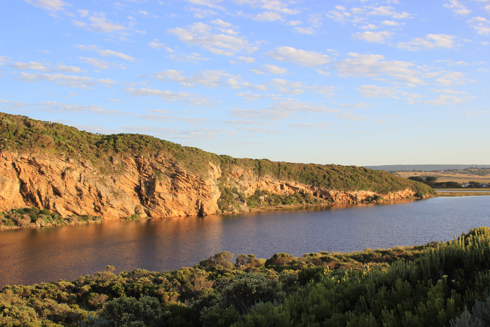 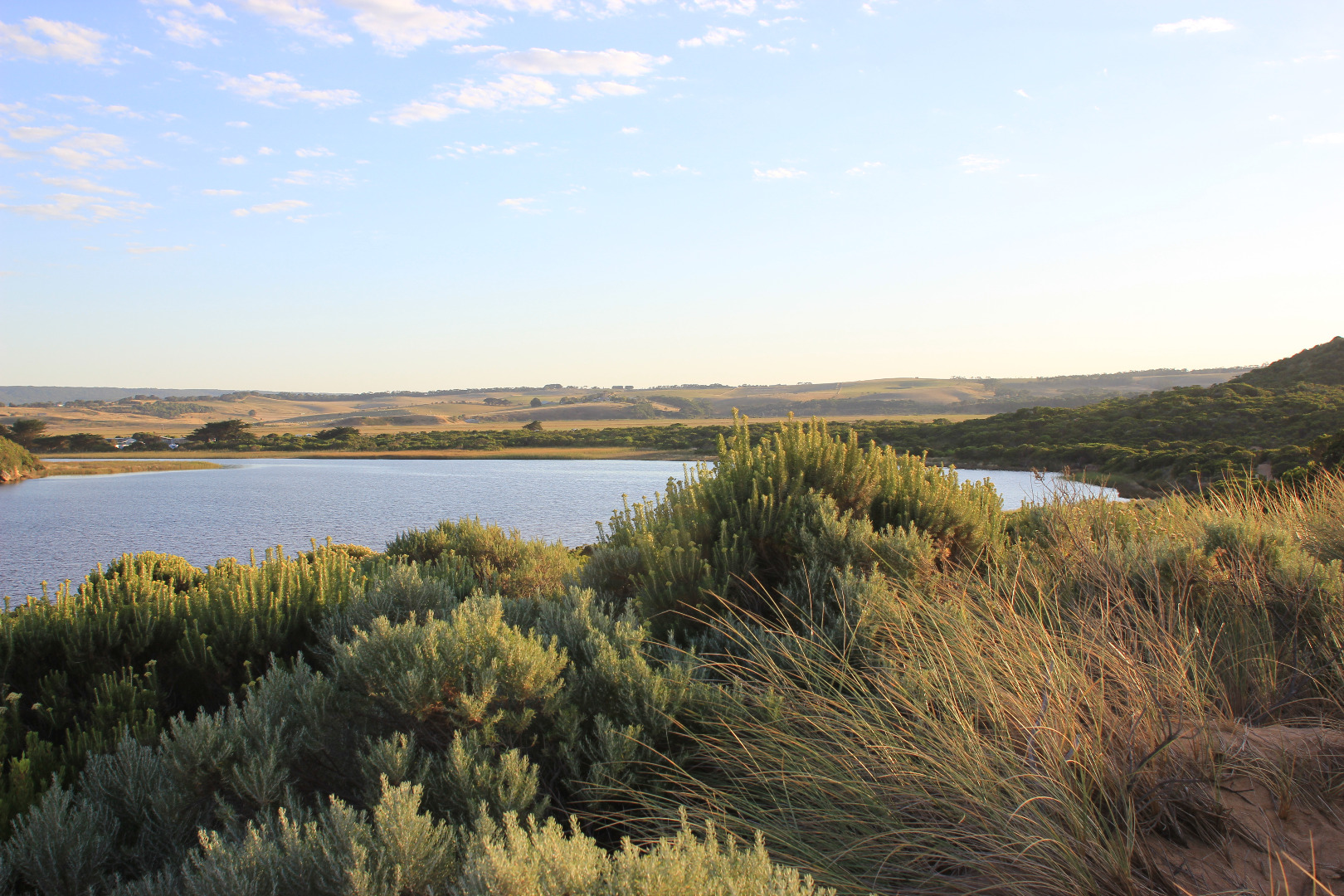 |
|
| #10981 | 1 Mar 2017 | Approved |
Notes:
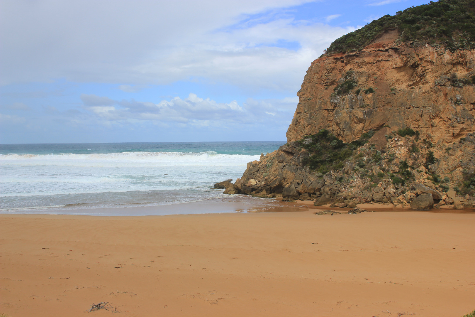
Mouth barred but rise in water level has brought estuary closer to sea. Berm is quite low near swash line. Waves have been over the front & travelled about 1/2 way up to the estuary at last hi tide. Long shore drift active across in front of mouth. Sea was moderate but an occasional strong wave surge was going over berm further east Observations were taken near low tide & waves too dynamic to get accurate berm height at ocean side Ocean beach has 2 horseshoe areas, highest at east end where water has been up almost to sand dunes. Backwash has eroded the front in new formations. Between the 2 areas a high sand spit projects well out to sea Algae is forming over large areas of the wetlands especially Latrobe creek area. Water at G2 is very still with a film across the surface Many small fish active in shallow water along side low track, also many dragonflies -also large flock of Terns & silver gulls on ocean beach
|
|
| #10840 | 23 Feb 2017 | Approved |
Notes:
Wide berm formed - low separate berm at beach face, dropping lower before rising up higher near rocks & continuing higher up to estuary Attempted illegal opening Beach very high at east end, slightly lower at mid beach but dropping down around mouth. Large irregular high & low areas all along beach More erosion on south face of Pt. Ronald Large sand area visible under water extending into estuary from channel. Low track completely under water but no water on top track Flooding on flats upstream from Princetown township to G4. Rivernook flats under water & through causeway. Water has filled wide drain at west end of property upstream G4 but no visible water beyond that Princetown Wetlands now have water cover |
|
| #10819 | 18 Feb 2017 | Approved |
Notes:
Only high waves from very rough sea entering over a very wide area, slight salt return against cliff. Long shore drift very strong across mouth. Very large amount of sand visible in breakers directly out from mouth Waves are over topping steep high beach face & continuing up toward dunes in some areas, water from the impact at east end is flowing back behind higher beach face & travelling down west entering around rocks & into channel Very large no. small fish, all shapes & sizes in shallow water along south & east sides of the estuary |
|
| #10818 | 17 Feb 2017 | Approved |
Notes:
Dark discharge only around mouth, flow between rocks & cliff face (low tide). Recent release (AHD 0.70 20170216) & very low tide causing strong shallow outflow with large close spaced waves immediately downstream rocks Strong long shore drift across outflow impacting on cliff Swash line very high up on beach Beach high toward east end but lower near mouth Large no. small fish in shallows along low track Princetown N wetlands draining but many birds observed feeding 12 Sliver gulls, 18 Masked plover, 4 Royal spoonbills, 2 with pale bills, 26 White headed Herons |
|
| #10809 | 13 Feb 2017 | Approved |
Notes:
Intermittent high waves entering across a wide area over high sand build up at mouth & along channel. Very slight shallow salt return against cliff face. Long shore drift active Sand is higher at east end of beach & has been height has been reduced closer to mouth. Waves have travelled high up on beach, some turning west to ward channel & mouth Cliff face erosion continues in areas near mouth 2 dead Penguins in swash line on Ocean beach |
|
| #10781 | 3 Feb 2017 | Approved |
Notes:
Pale discharge out around mouth & slightly to east Channel very shallow - flow out over increased sand build up at mouth. Long shore drift across mouth over shallow out flow & rolling more sand into deeper areas. Large amount of sand visible in breakers directly out from mouth Extremely large no. small fish in shallow water alongside low track & many more along south side of estuary Sand bar partly exposed |
|
| #10765 | 27 Jan 2017 | Approved |
Notes:
Pale discharge out along beach face to east, then turning out to sea well before rocks at east end Beach face irregular, sand highest near mouth, mid beach & east end. Sand has increased at mouth & in channel Long shore drift across mouth with occasional waves entering into channel. Sea has been well up on beach & turning, travelling west to mouth & channel Rock falls & erosion continues at south face of Pt. Ronald Algae & unusual dried white scum on stream side veg Some small fish & crabs in shallow water beside low track close to car park, Flathead Gudgeons remain in cut off tidal pool Large no. people on beach & around estuary. March flies in large nos. |
|


All content, files, data and images provided by the EstuaryWatch Data Portal and Gallery are subject to a Creative Commons Attribution License
Content is made available to be used in any way, and should always attribute EstuaryWatch and www.estuarywatch.org.au