EstuaryWatch Data Portal
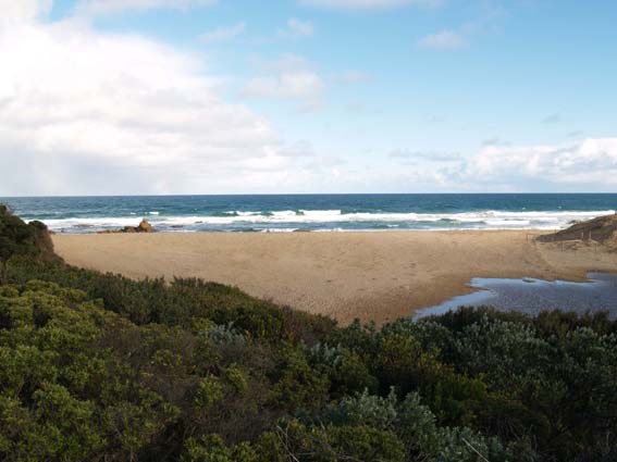
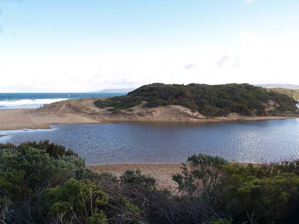
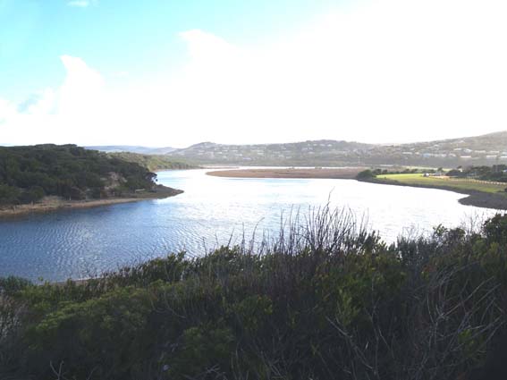
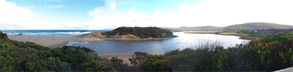
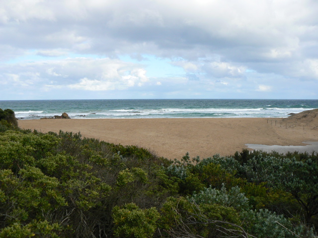
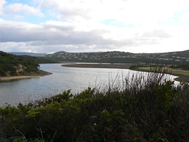
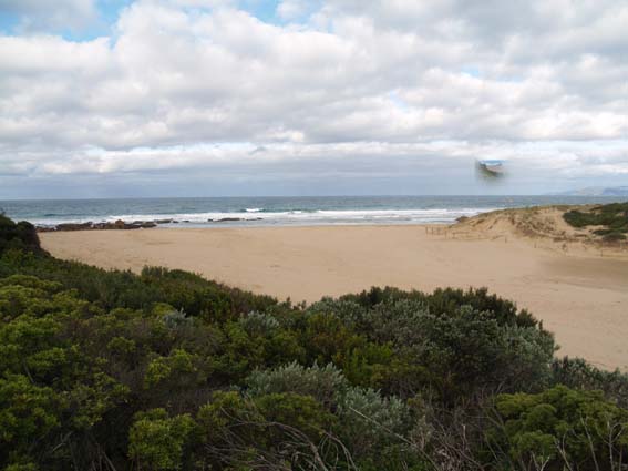
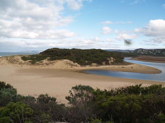
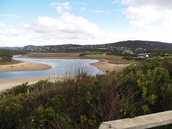
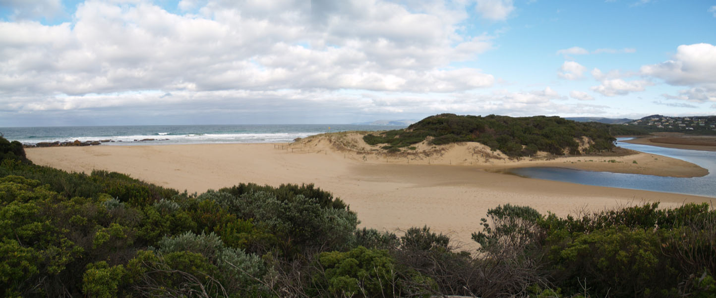
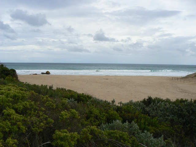
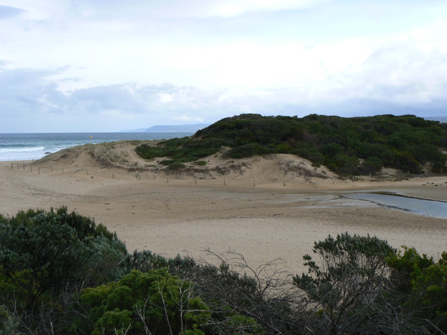
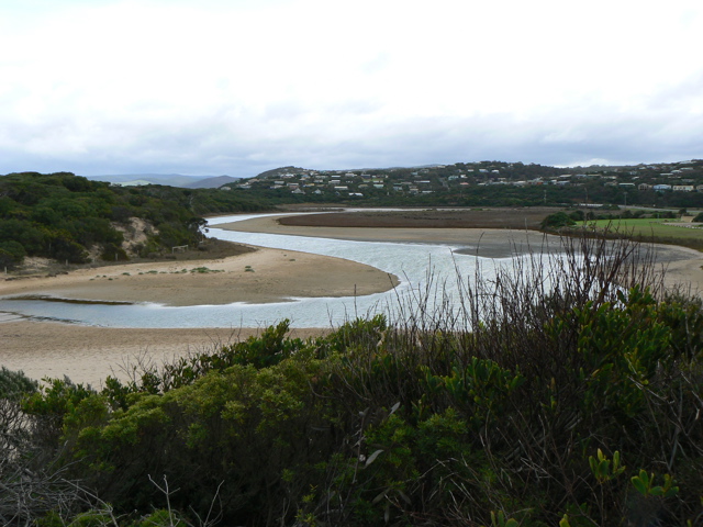
PMC Painkalac Creek Observation Site
Active Mouth Condition 23-05-2007 - 11-05-2024Painkalac Creek Estuary
274 results found (Displaying 271 - 274)
| ID | Date | Status | Details | |
|---|---|---|---|---|
| #8 | 14 Jul 2007 | Approved | Notes: 15 mins subtracted from tide times at Port Phillip Heads (Point Lonsdale). Water level taken at bridge gauge board. | |
| #6 | 13 Jul 2007 | Approved | Notes: Note that recent physical conditions are median values rather than averages. 15 mins subtracted from tide times at Port Phillip Heads (Point Lonsdale). Water levels at gauge board at bridge. | |
| #7 | 8 Jun 2007 | Approved | Notes: Note that recent physical conditions are median values rather than averages. Water levels not recorded as gauge board is above water level and a new ruler extension has been ordered. 15 mins subtracted from tide times at Port Phillip Heads (Point Lonsdale). | |
| #5 | 23 May 2007 | Approved | Notes: Water level still below gauge | |

All content, files, data and images provided by the EstuaryWatch Data Portal and Gallery are subject to a Creative Commons Attribution License
Content is made available to be used in any way, and should always attribute EstuaryWatch and www.estuarywatch.org.au