EstuaryWatch Data Portal
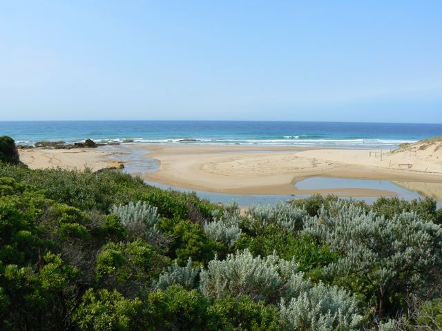
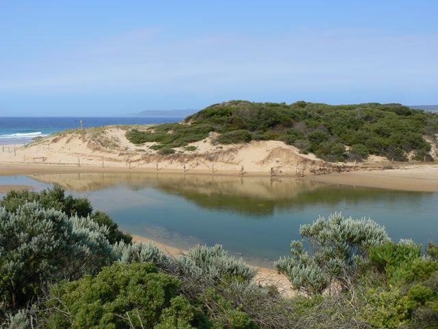
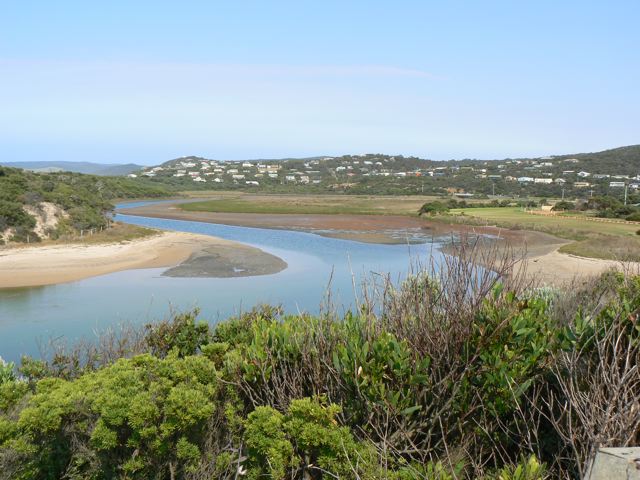
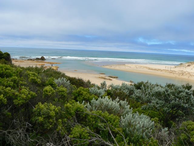
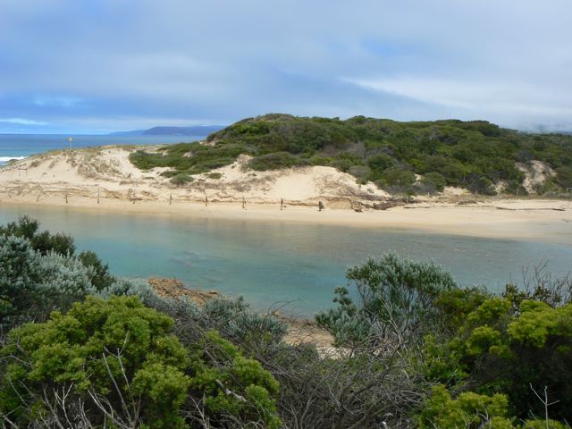
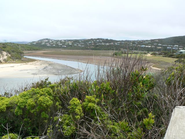
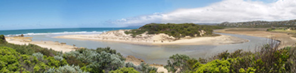
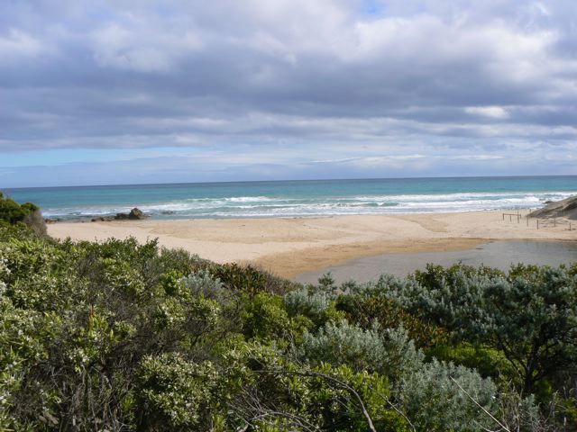
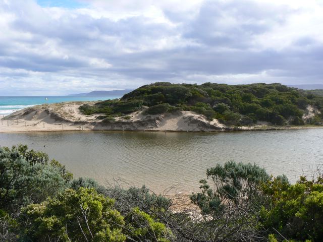
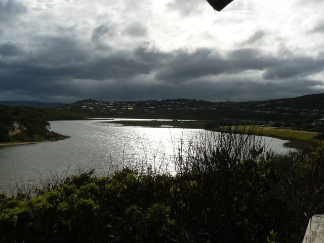
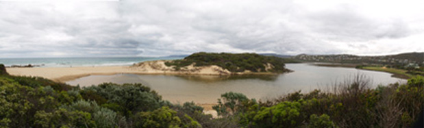
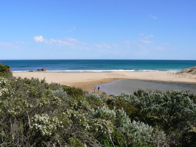
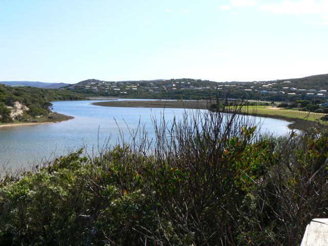
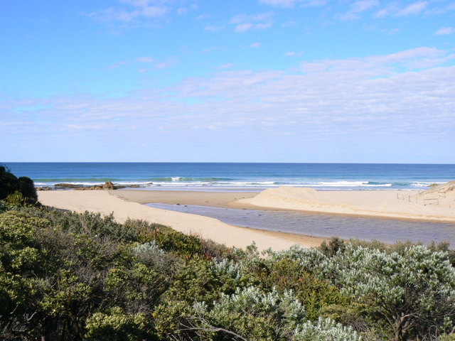
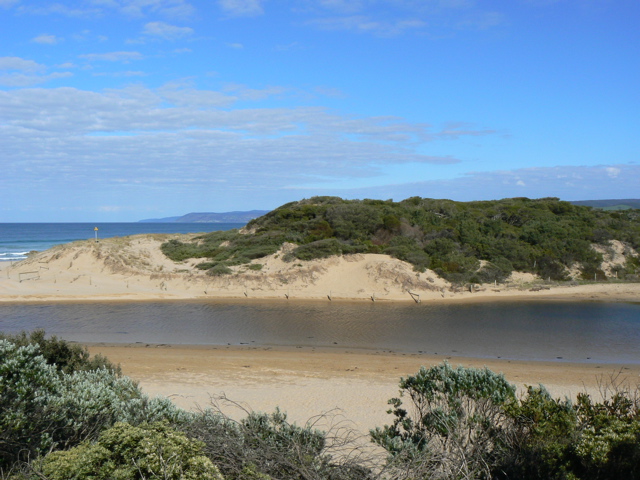
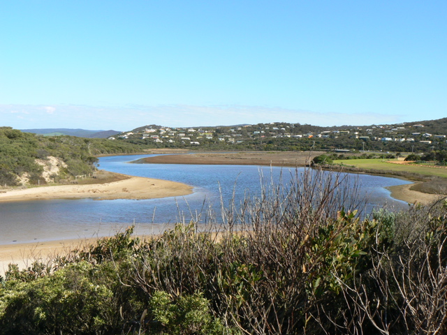
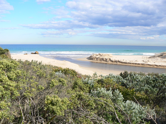
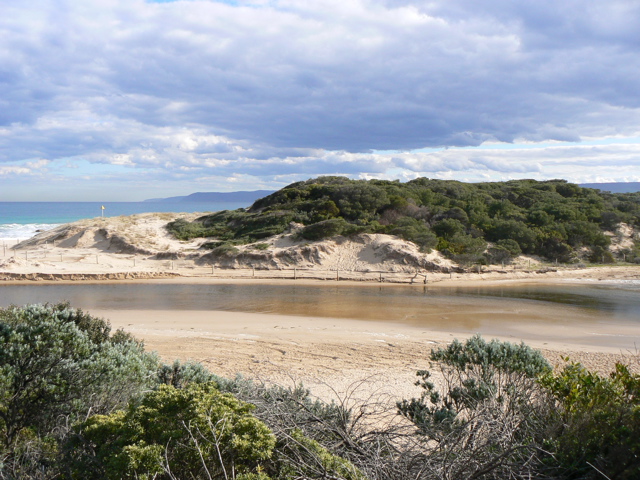
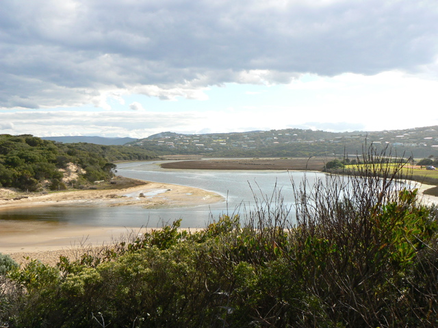
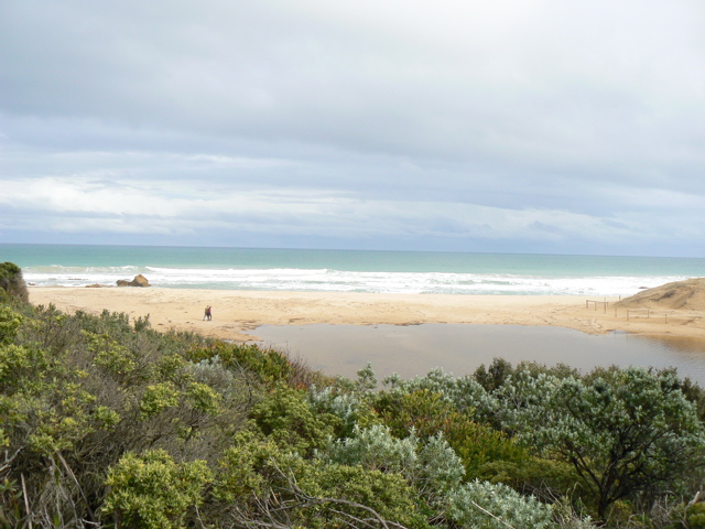
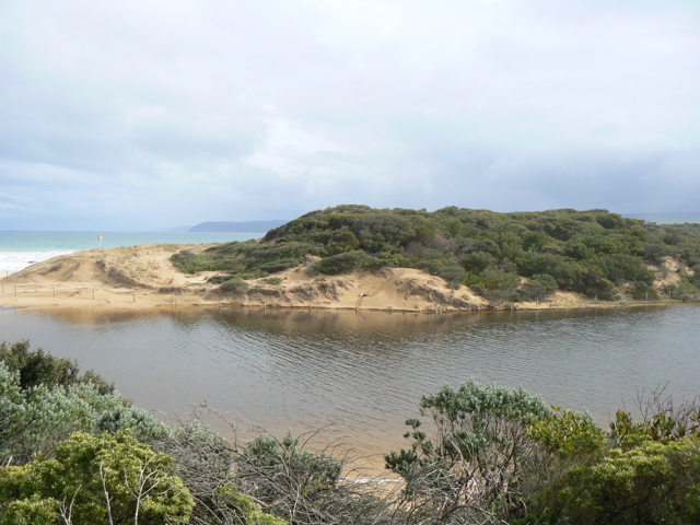
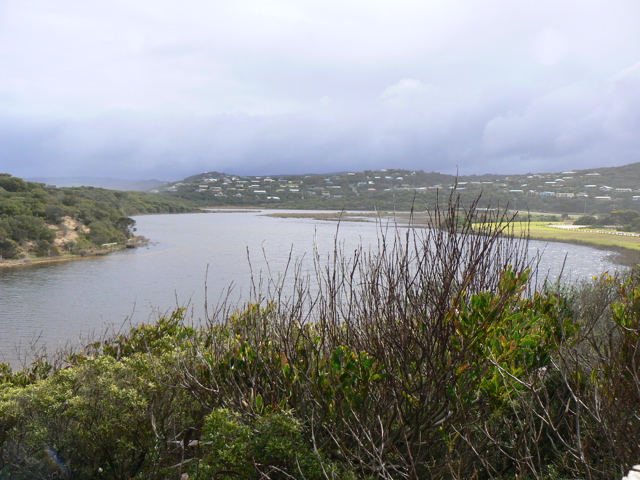
PMC Painkalac Creek Observation Site
Active Mouth Condition 23-05-2007 - 11-05-2024Painkalac Creek Estuary
274 results found (Displaying 261 - 270)
| ID | Date | Status | Details | |
|---|---|---|---|---|
| #445 | 14 Dec 2007 | Approved |
Notes:
Water level below gauge board at bridge. Tide times PPH +1hr for dayligtht savings - 15 mins for Aireys Inlet |
|
| #446 | 13 Nov 2007 | Approved |
Notes:
Water below gauge board at bridge. Tide times PPH +1hr - 15 mins for Aireys Inlet |
|
| #657 | 10 Nov 2007 | Approved |
Notes:
Lots of dead eels Water below guage level |
|
| #648 | 8 Nov 2007 | Approved | Notes: 10.30am 4th November 2007 inlet was open (unofficially?) | |
| #3 | 13 Oct 2007 | Approved | Notes: Note that recent physical conditions are median values rather than averages. 15 mins subtracted from tide times at Port Phillip Heads (Point Lonsdale). Water levels at gaugeboard at GOR bridge. Until recently there has been some sea water entering the estuary at high tide when the sea has been rough. | |
| #1 | 11 Oct 2007 | Approved | ||
| #2 | 13 Sep 2007 | Approved | Notes: Note that recent physical conditions are median values rather than averages. 15 mins subtracted from tide times at Port Phillip Heads (Point Lonsdale) | |
| #11 | 23 Aug 2007 | Approved | Notes: Note that recent physical conditions are median values rather than averages. 15 mins subtracted from tide times at Port Phillip Heads (Point Lonsdale). Water level height below gauge board at bridge. | |
| #10 | 15 Aug 2007 | Approved | Notes: Note that recent physical conditions are median values rather than averages. 15 mins subtracted from tide times at Port Phillip Heads (Point Lonsdale). Water level height below gauge board at bridge. The berm was artificially broken through approx. 24 hrs prior to these obs (to avoid flooding of infrastructure) | |
| #9 | 11 Aug 2007 | Approved | Notes: Note that recent physical conditions are median values rather than averages. 15 mins subtracted from tide times at Port Phillip Heads (Point Lonsdale). Water level taken at bridge gauge board. | |


All content, files, data and images provided by the EstuaryWatch Data Portal and Gallery are subject to a Creative Commons Attribution License
Content is made available to be used in any way, and should always attribute EstuaryWatch and www.estuarywatch.org.au