EstuaryWatch Data Portal
WMC Wild Dog Observation Site
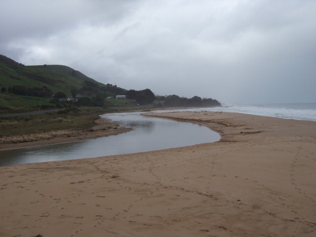
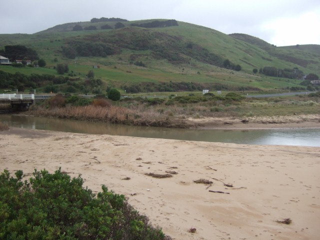
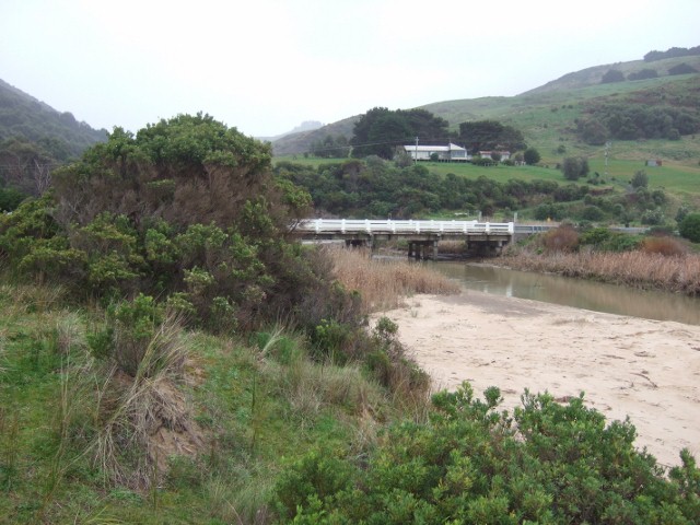
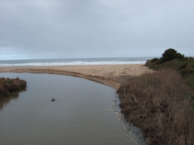
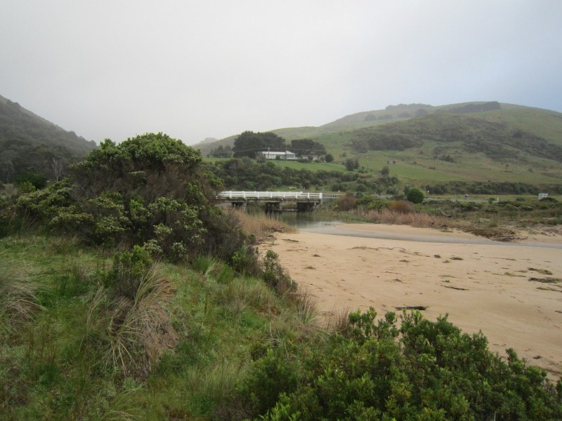
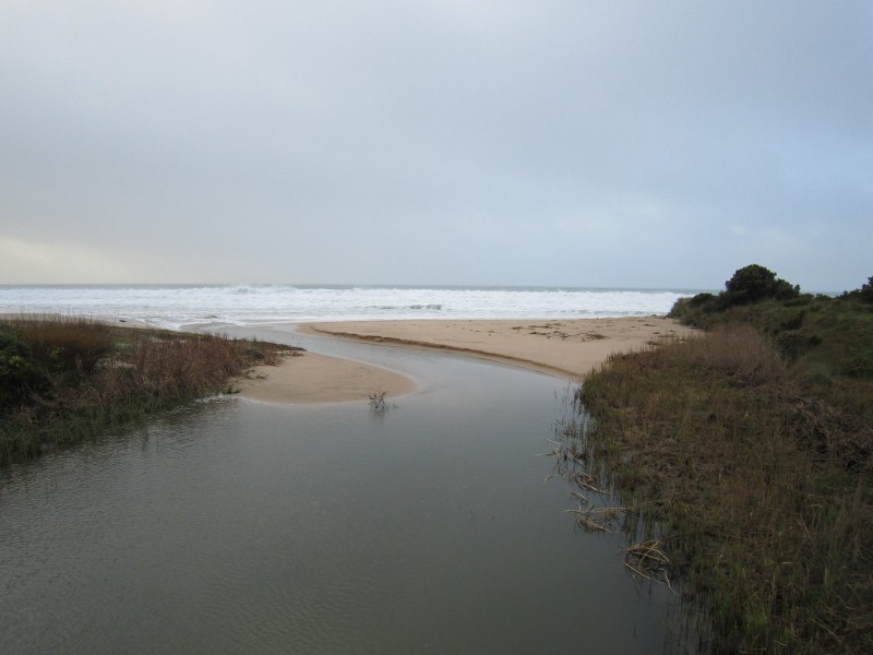
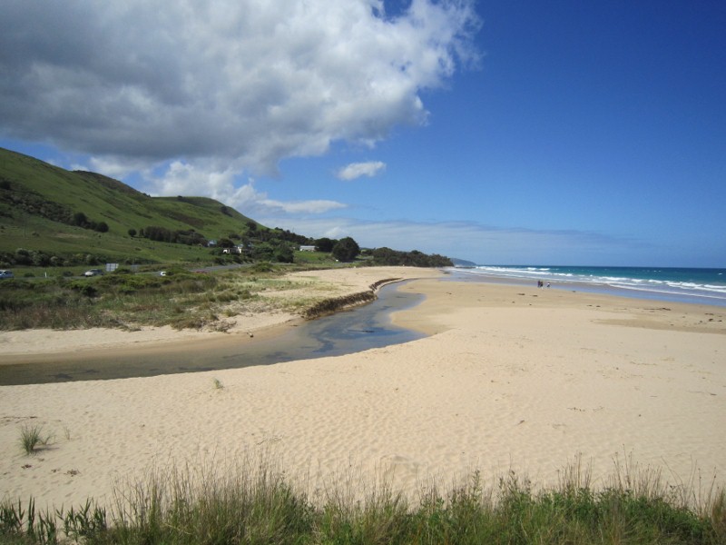
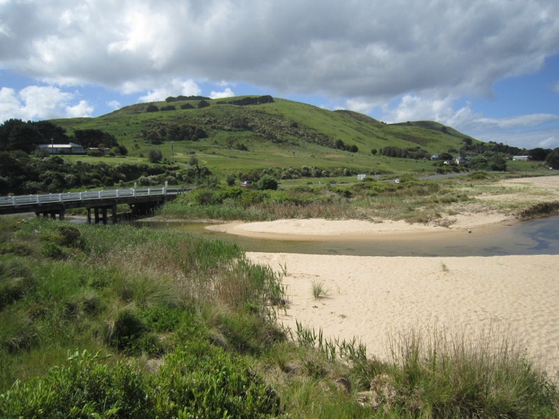
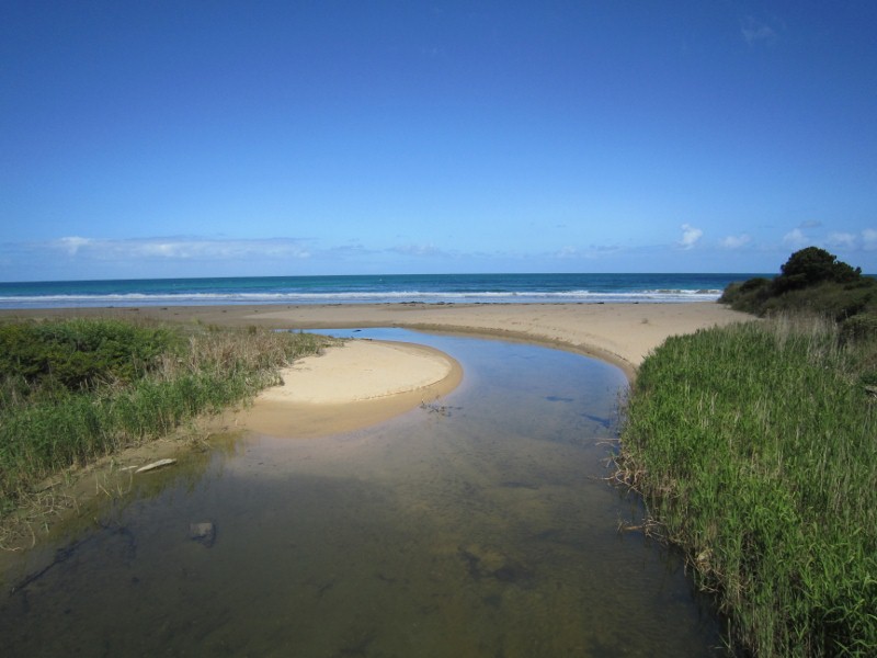
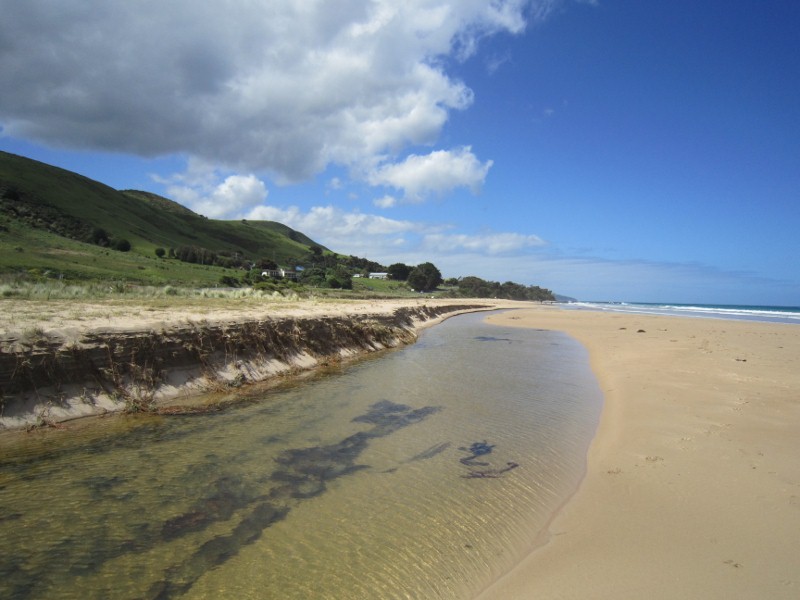
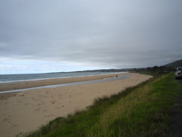
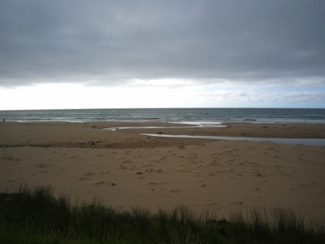
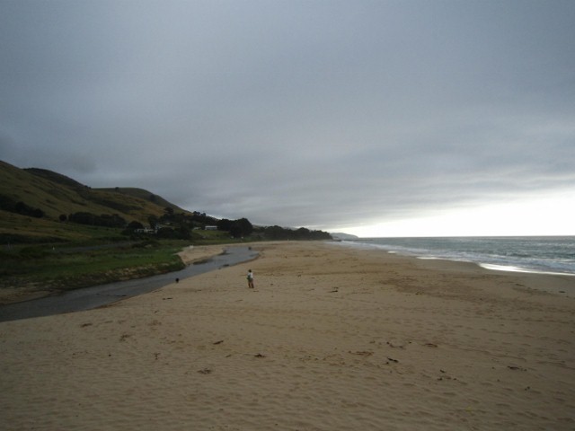
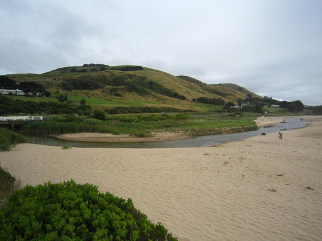
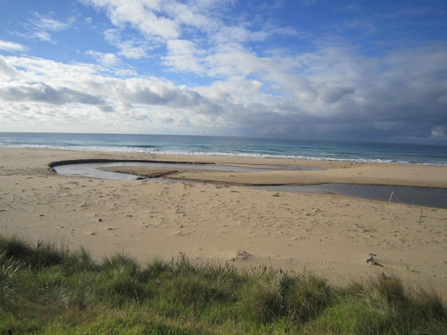
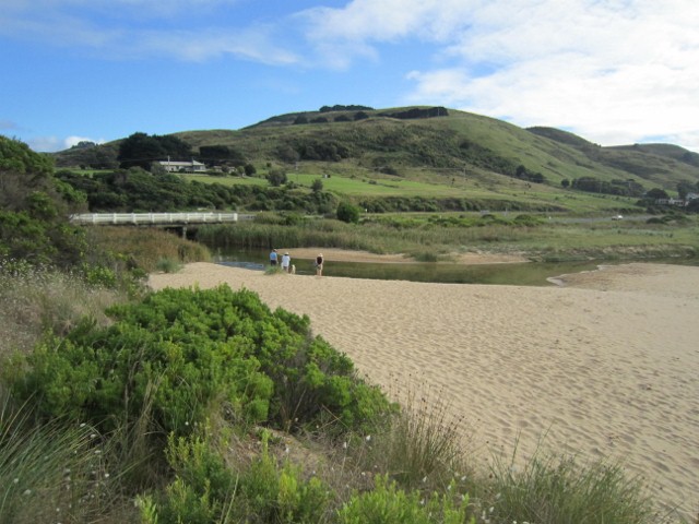
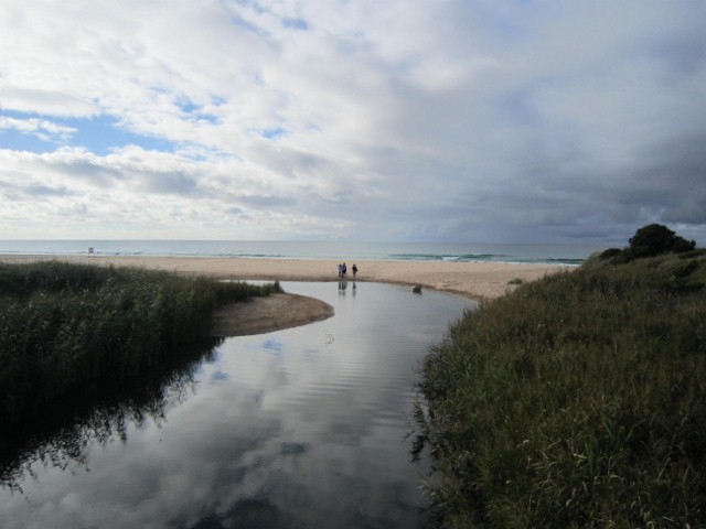
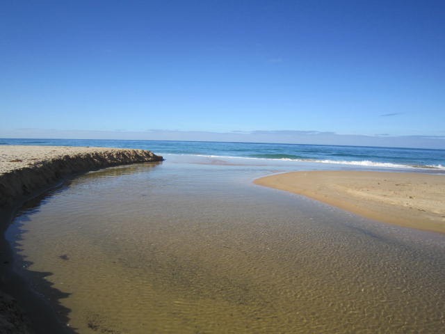
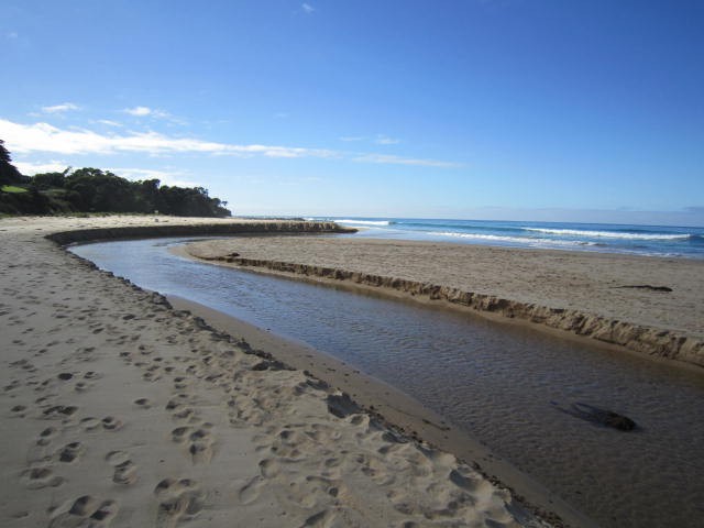
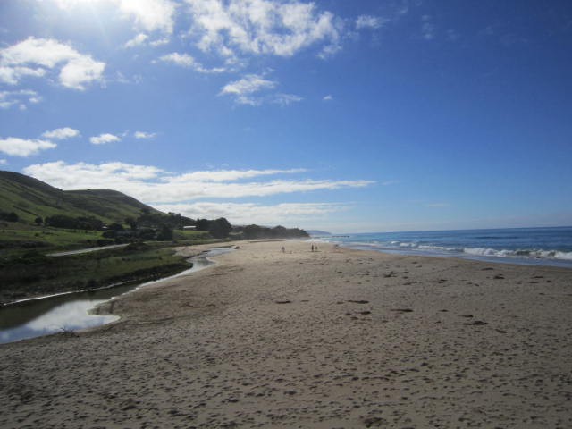
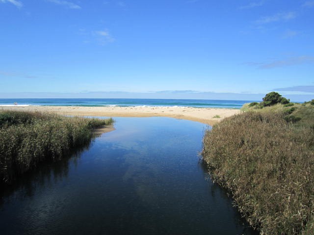
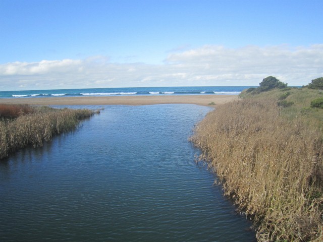
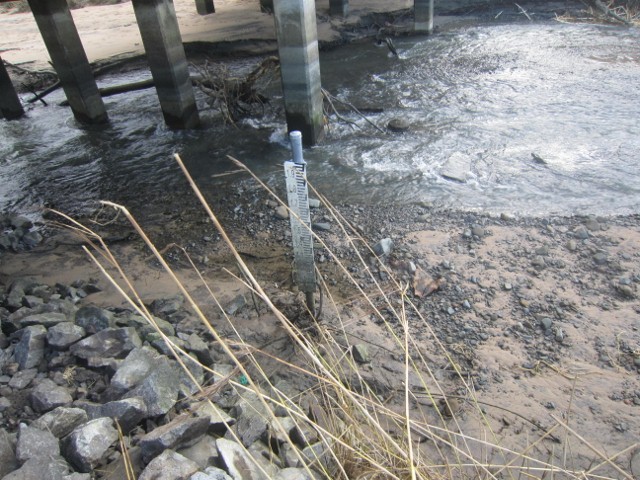
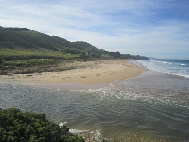
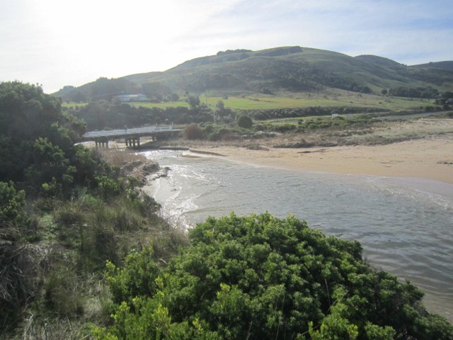
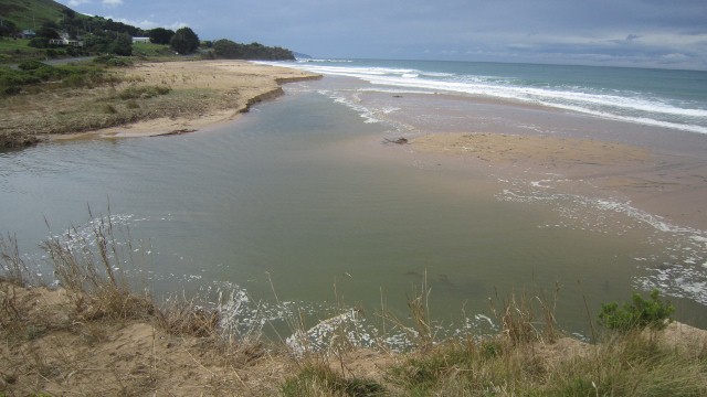
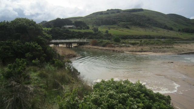
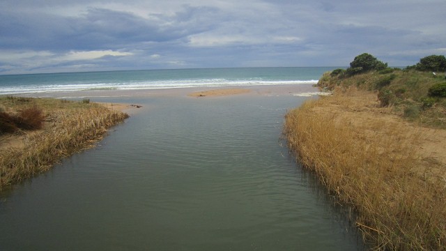
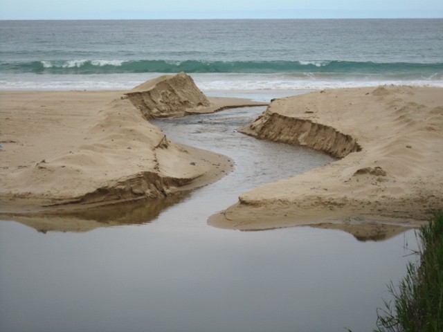
Active Mouth Condition 13-02-2008 - 29-09-2023Wild Dog Creek Estuary
92 results found (Displaying 31 - 40)
| ID | Date | Status | Details | |
|---|---|---|---|---|
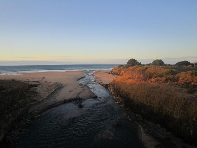
| #4263 | 13 Aug 2010 | Approved | Notes: Heavy rain and high tide caused water to cover most of the east end of the beach and the sand dunes and murram grass were swept away. However at low tide the outlet to sea returned to mid beach. The photopoints were 1,2,3,Photos from west end, 4 from bridge, 5 river midbeach and 6 outlet to sea. | |
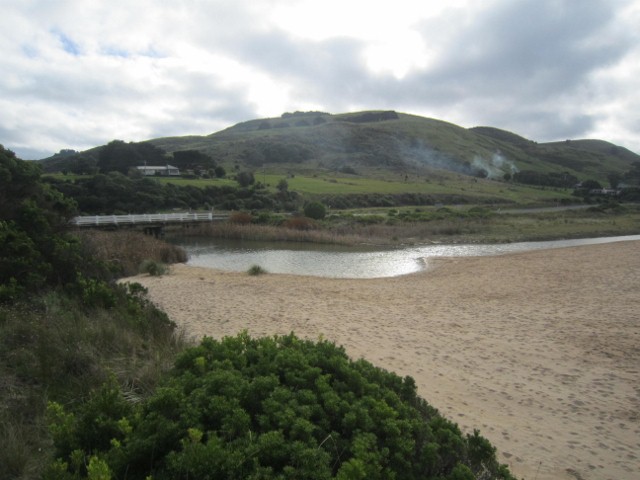
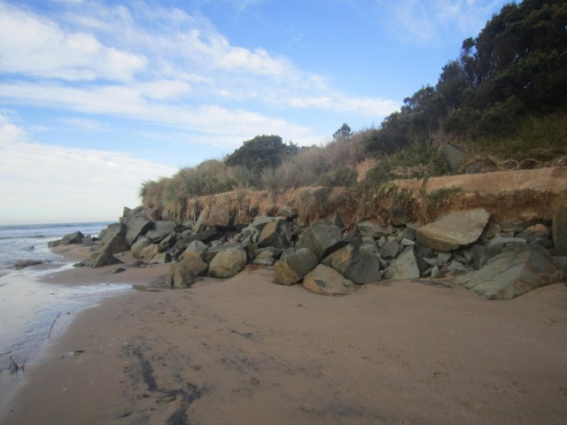
| #4624 | 18 Sep 2010 | Approved | Notes: Strong winds on16-17.9.2010 caused the beach to be completely covered by the sea and the sand dunes were washed flat. When the sea retreated the outlet had moved from 450 m along the beach back to 80 m from the west wall. Sea water reached the bridge but no further. Next day the AHD was back to 1.22 with no tidal influence | |
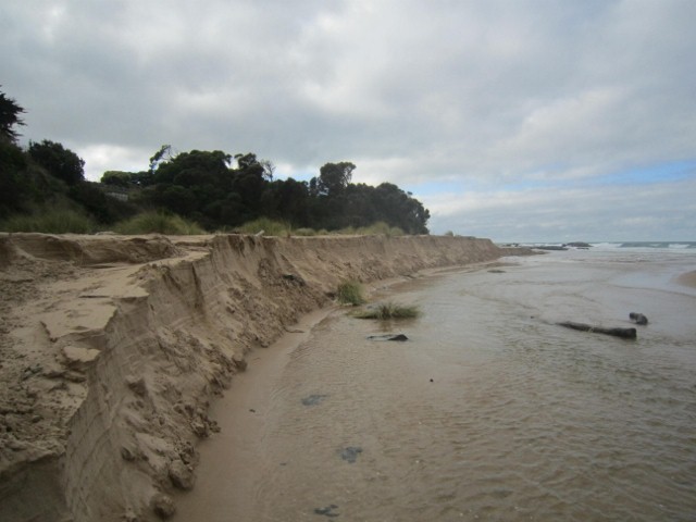
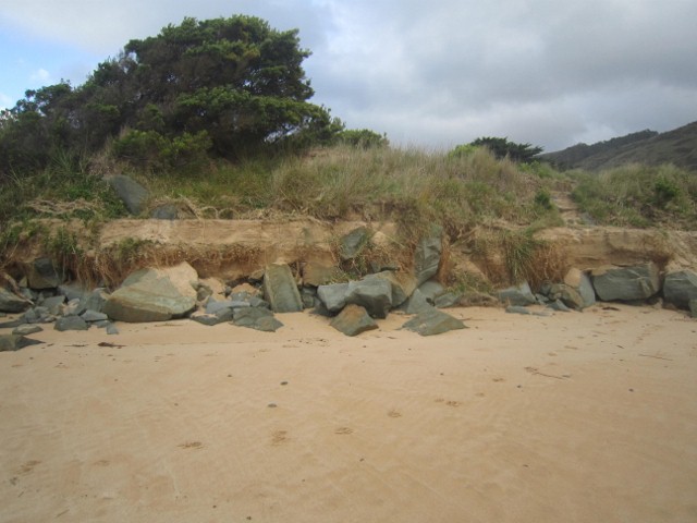
| #4625 | 27 Oct 2010 | Approved | Notes: The outlet has moved back towards the middle of the beach about 200 m from the west end. Sand has piled up at the back of the beach and the river has cut a bank 1.5-2m deep. Sand continues to pile up at the west wall. | |
| #5809 | 31 Jan 2011 | Approved | ||
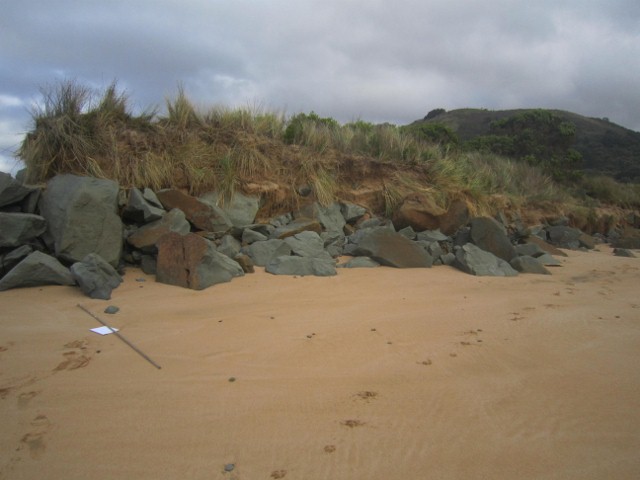
| #5810 | 8 Mar 2011 | Approved | Notes: Bank on sea side 50cm above river, bank on land side about 75 cm. | |
| #5811 | 17 Apr 2011 | Approved | ||
| #5812 | 15 Jun 2011 | Approved | Notes: River level at bridge above the top 2m mark.River has been pushed back along the beach and exits only 70m from east end. For most of the beach the river is only 30 cm below sand level but at far end the sand wall on the land side is more than 2m deep. | |
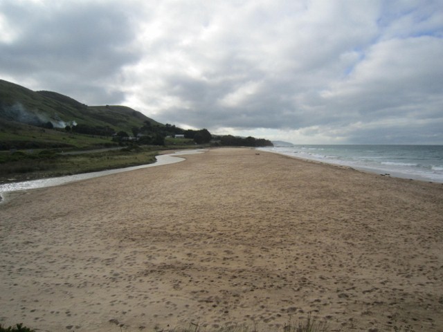
| #5962 | 16 Jul 2011 | Approved | Notes: On weekend of 9/10 July high wind at high tide caused major erosion of the beach especially the western groin. Afterwards the beach was completel flat and the river flowed straight out to sea. The river level was very high but by 16th the level is about 0.5 metres below the bottom scale on the AHD post | |
| #6344 | 17 Aug 2011 | Approved | Notes: By 17.8.11 the outflow has moved 100 m eastward and there are high banks 1m deep on both sides of the river but the western end of the groin is rapidly eroding | |
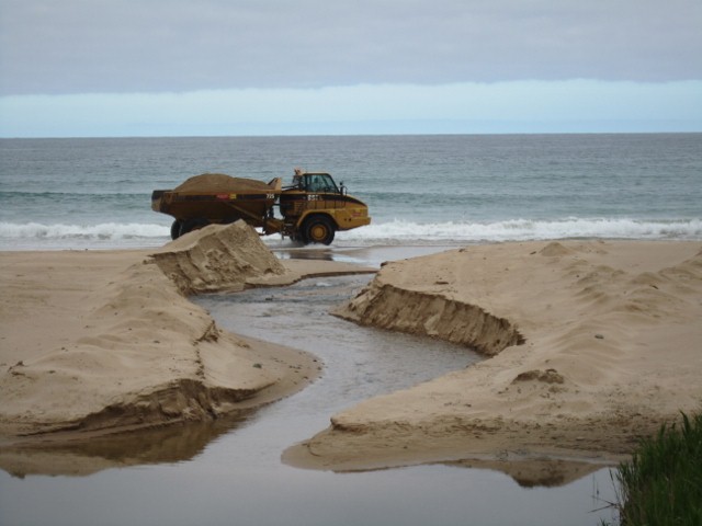
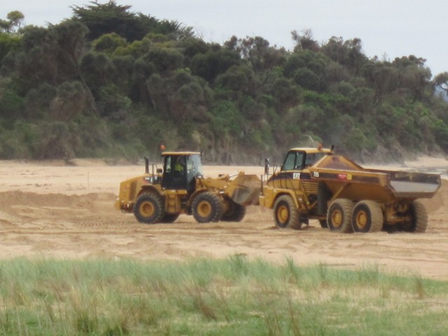
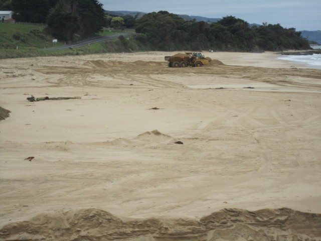
| #6345 | 21 Oct 2011 | Approved | Notes: On 17/10/11 Contractors cut a channel straight out to sea and for 5 days moved sand from the middle of the Wild Dog beach to the town beach near end of Marriners Rd finishing on 21/10/11. The depth of the channel was 1m near shore and 1.6 near sea. | |


All content, files, data and images provided by the EstuaryWatch Data Portal and Gallery are subject to a Creative Commons Attribution License
Content is made available to be used in any way, and should always attribute EstuaryWatch and www.estuarywatch.org.au