EstuaryWatch Data Portal
Site details
Overview
| Estuary | Thompson Creek Estuary |
|---|---|
| CMA | Corangamite CMA |
| Type | Photopoint |
| Site code | TP1 |
| Site name | Thompson Creek Photopoint Site |
| Nearest road and town | Breamlea |
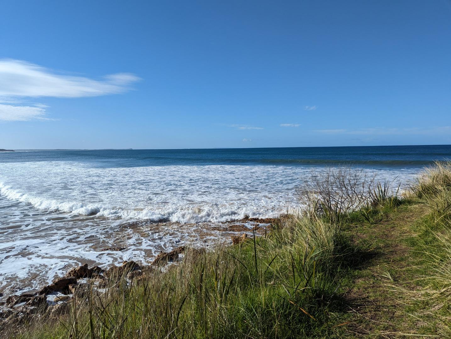
| Description | Grassy knoll on sandbank adjacent to car park at Point Impossible. |
| Site access | Grassy knoll on sandbank adjacent to car park at Point Impossible via Pt Impossible Rd. |
| Land use |
|
| Land use description |
Grazing Karaaf wetlands reserve |
| Status | Active |
| Observation history | 18-02-2009 - 16-07-2023 |
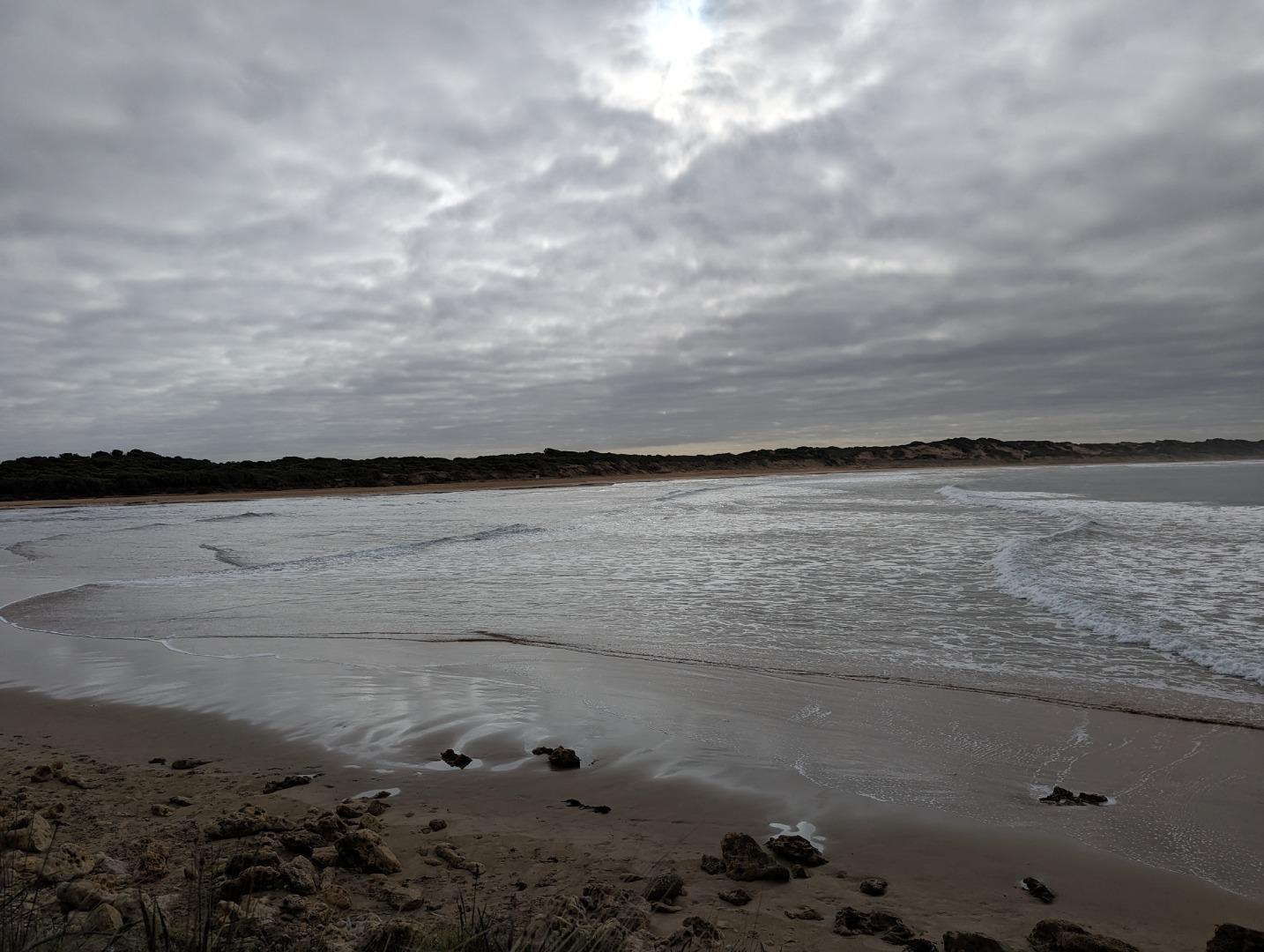
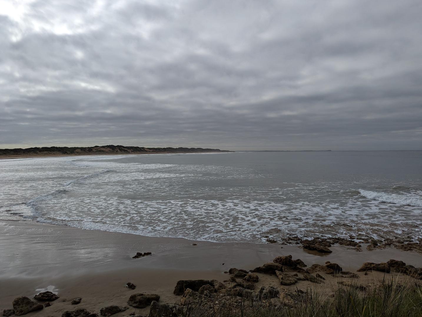
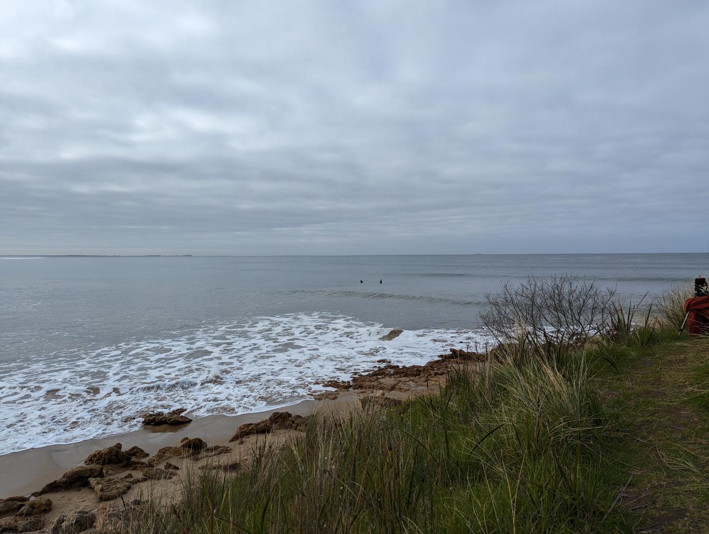
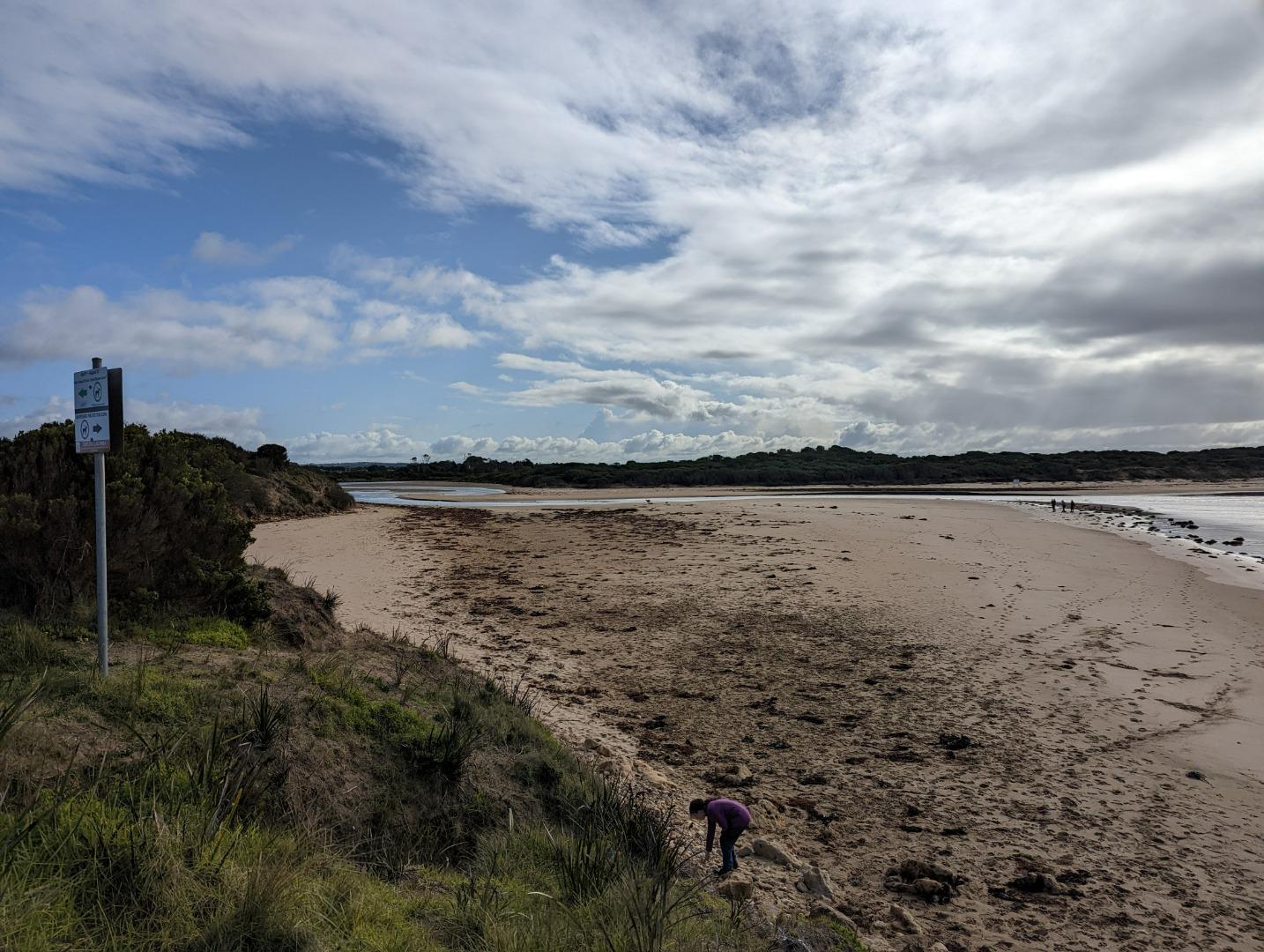
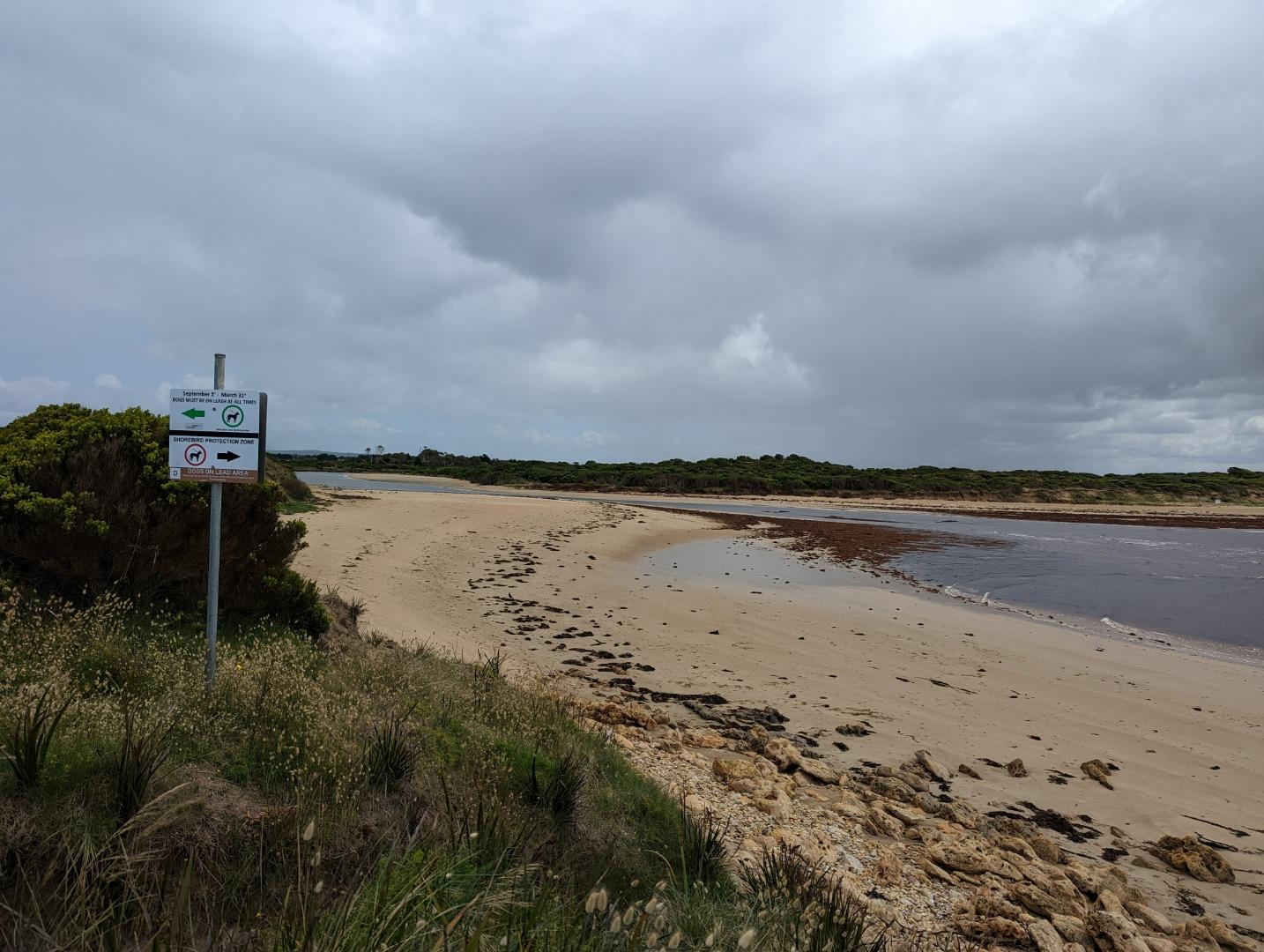
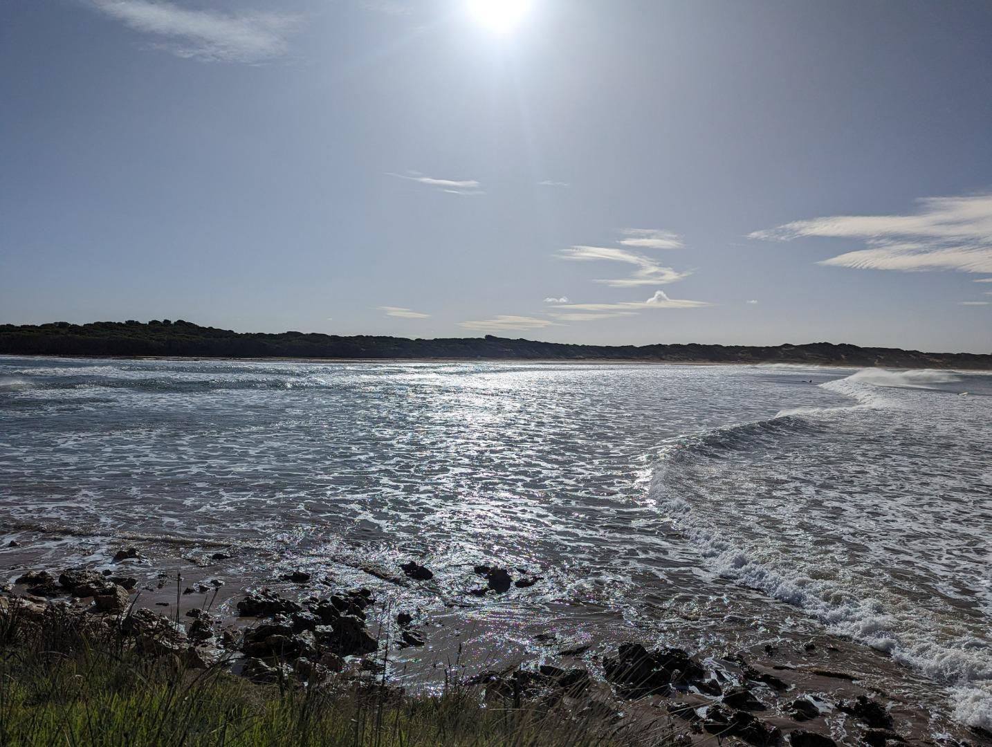
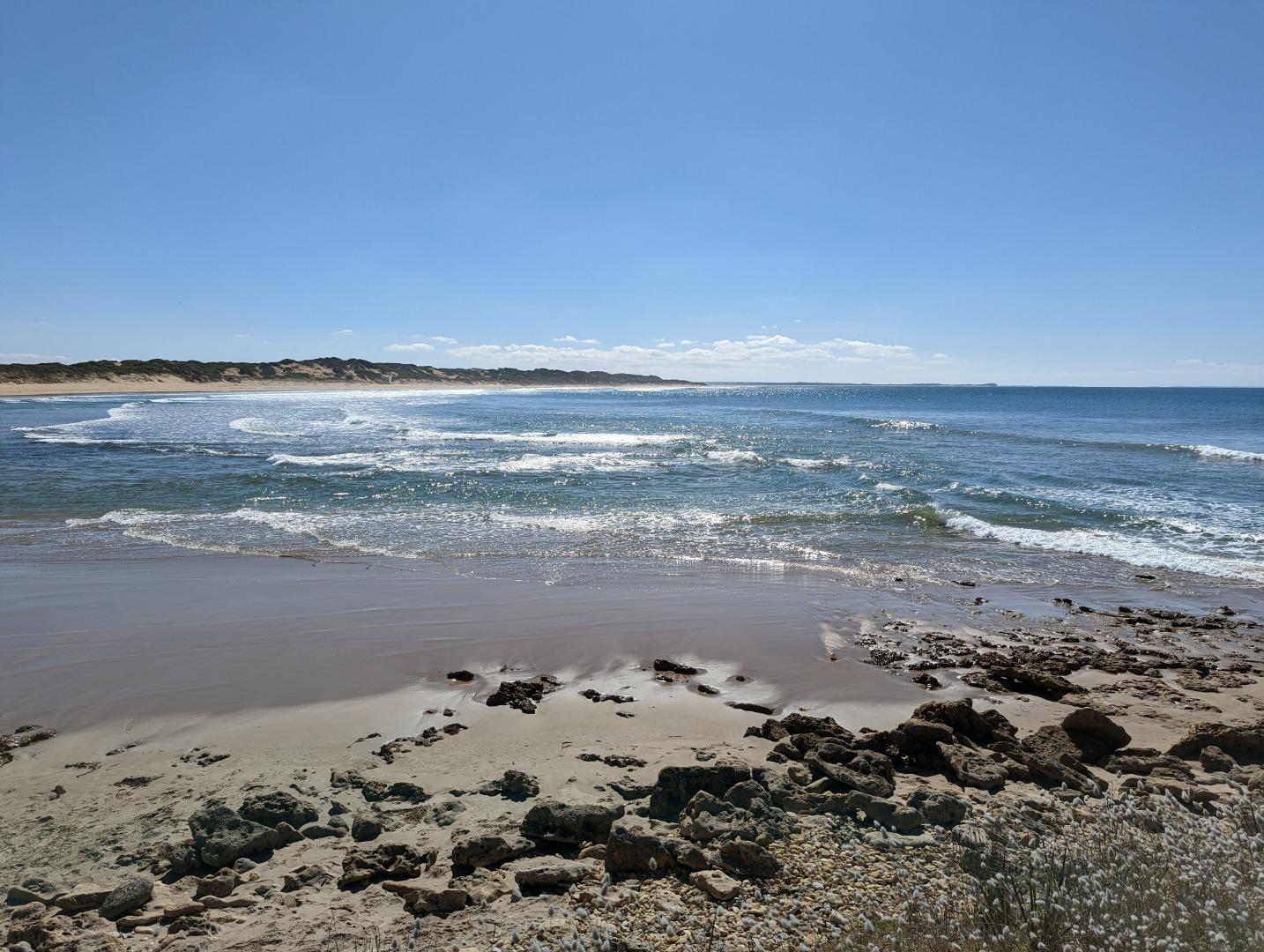
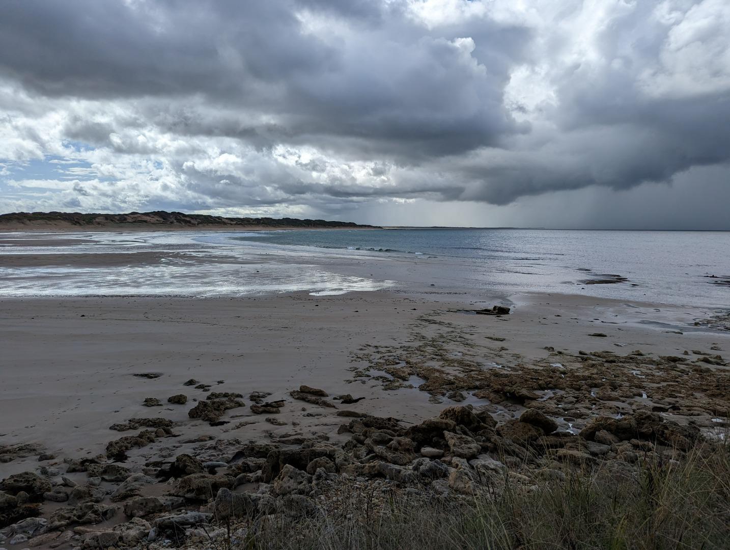
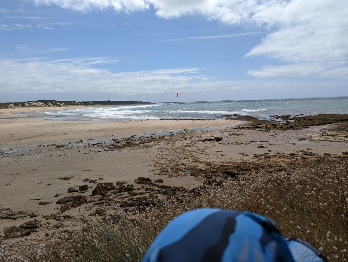
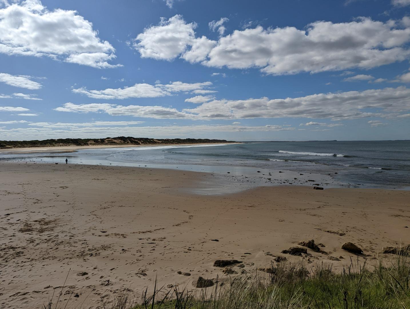
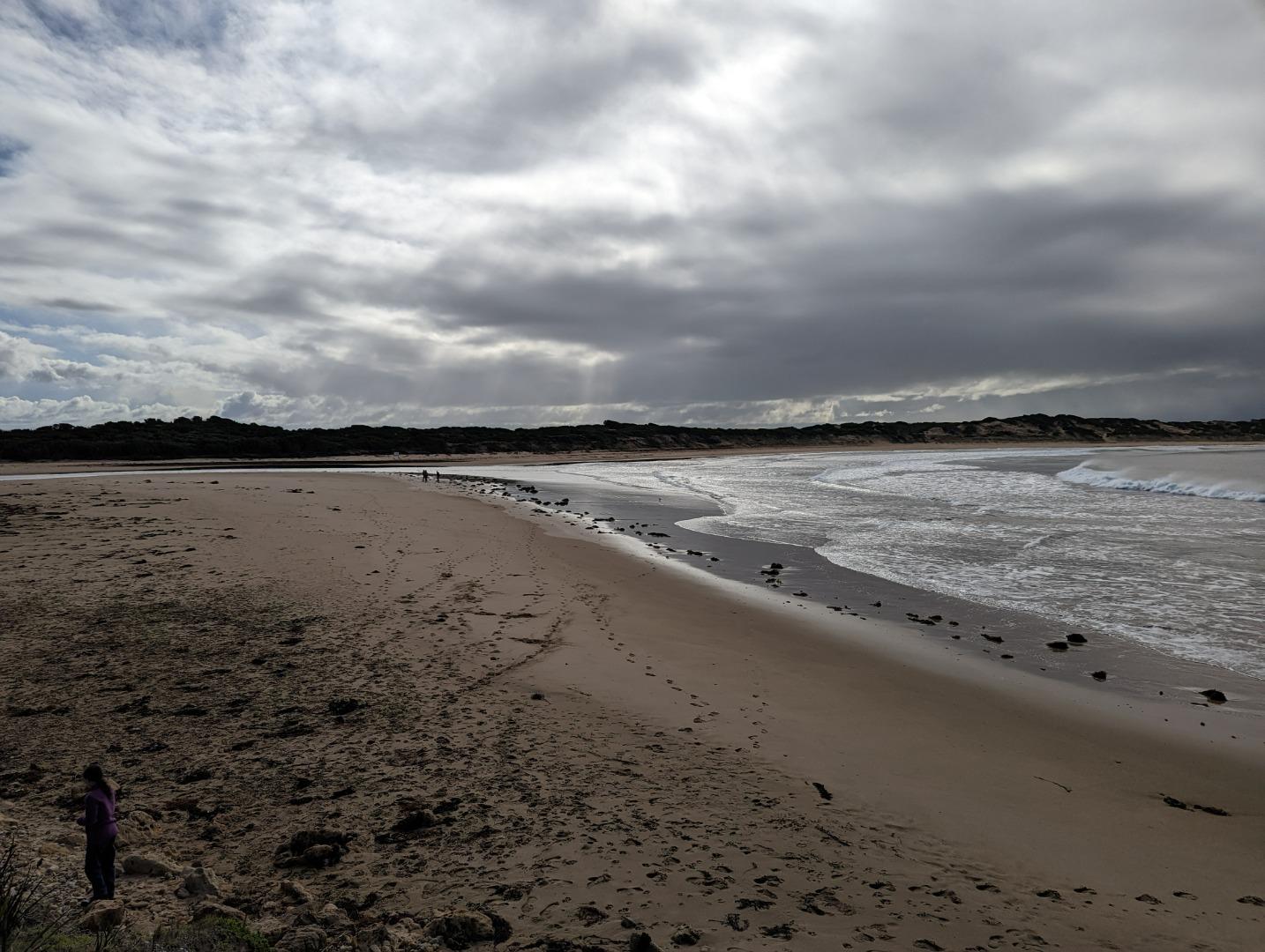
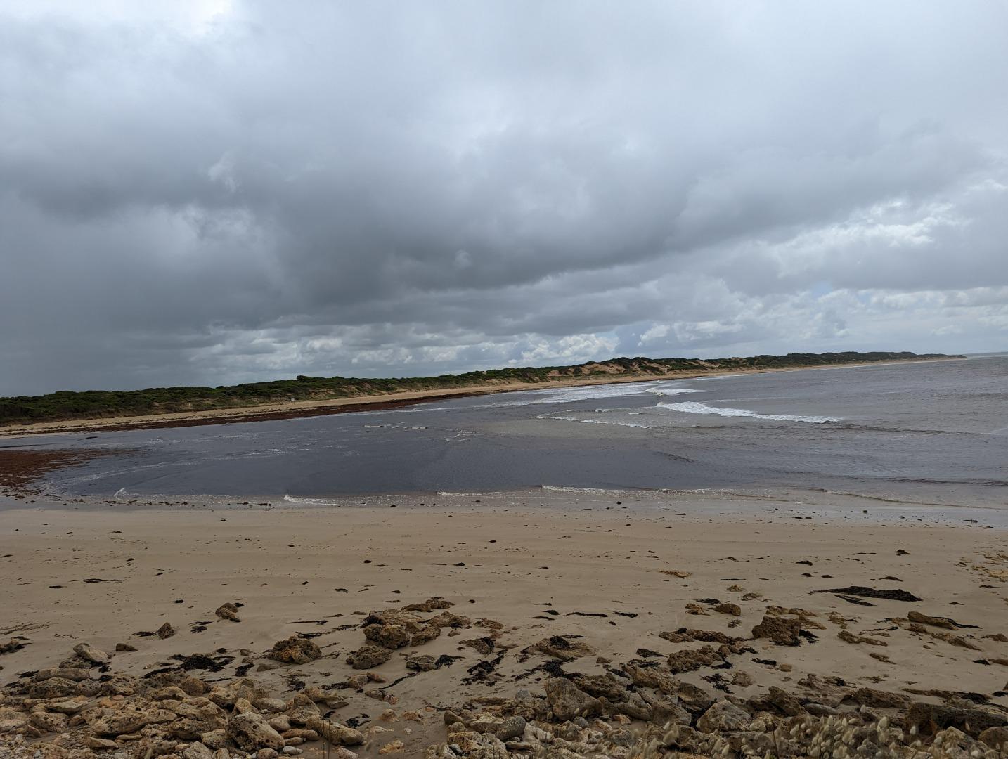
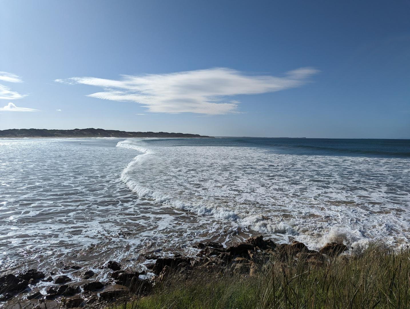
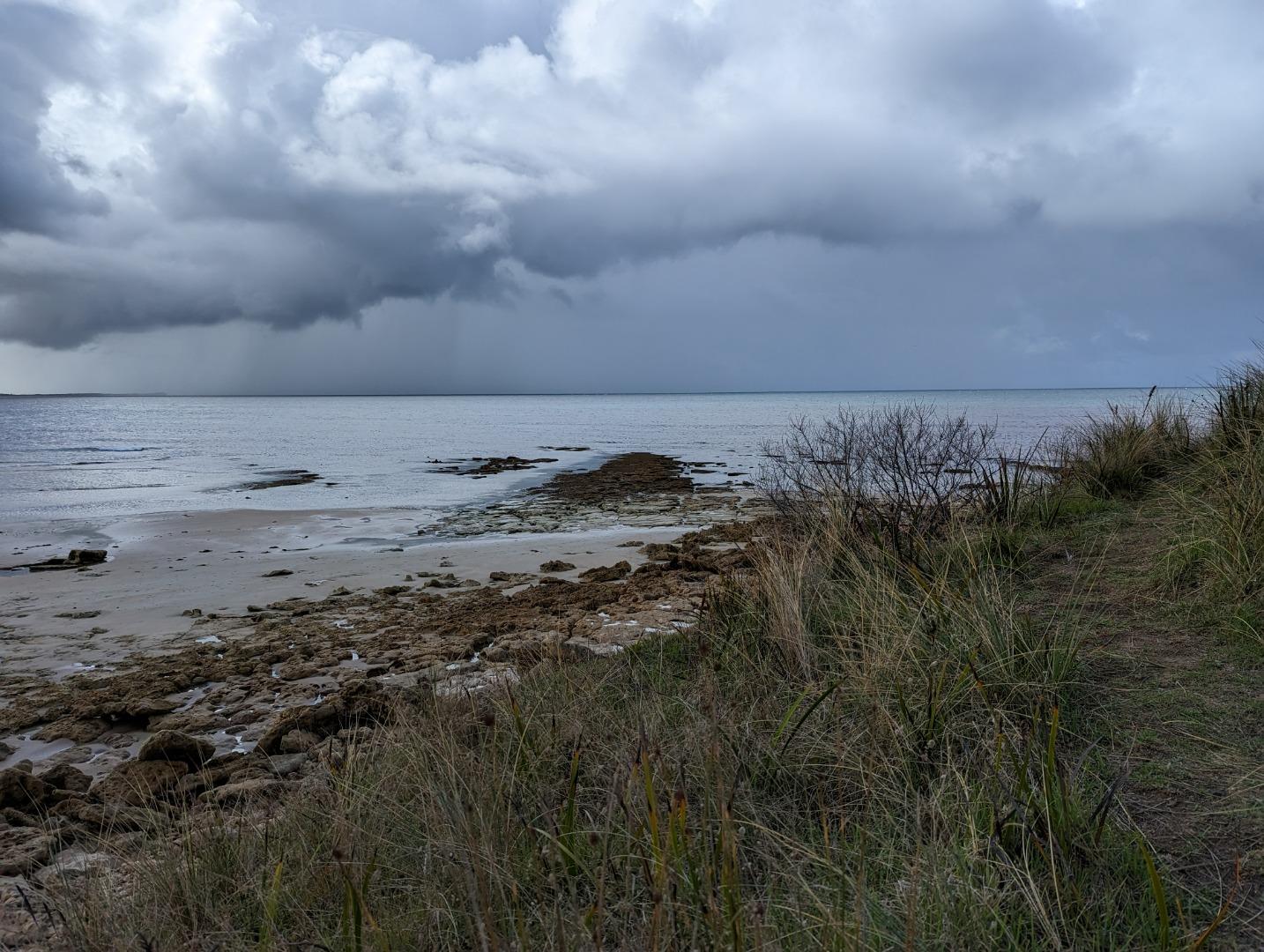
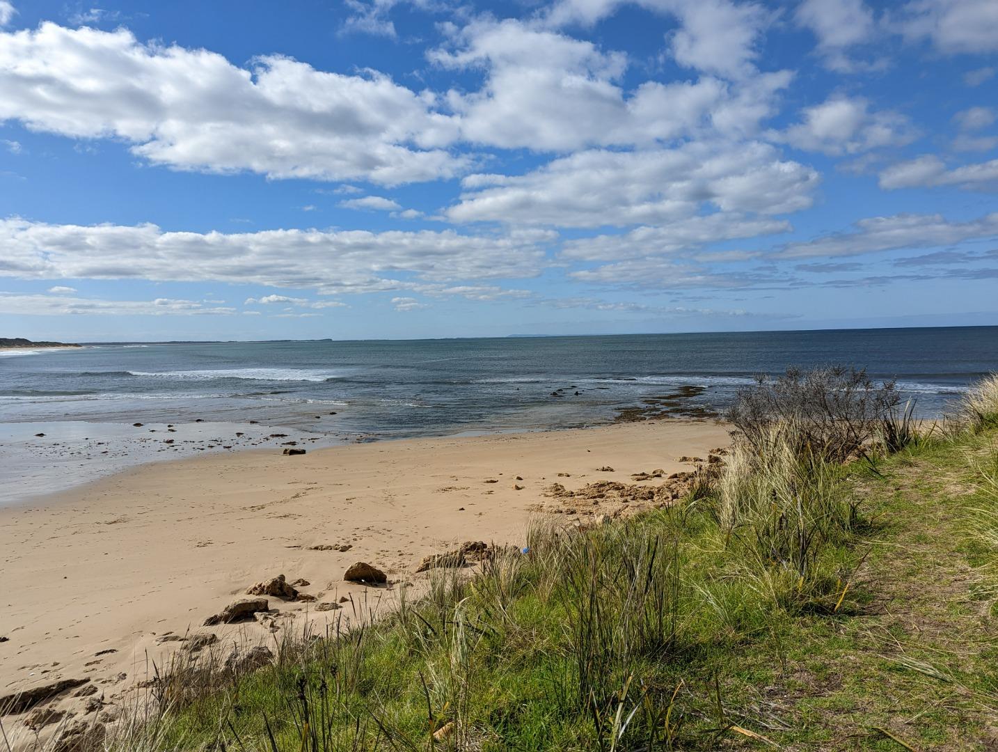
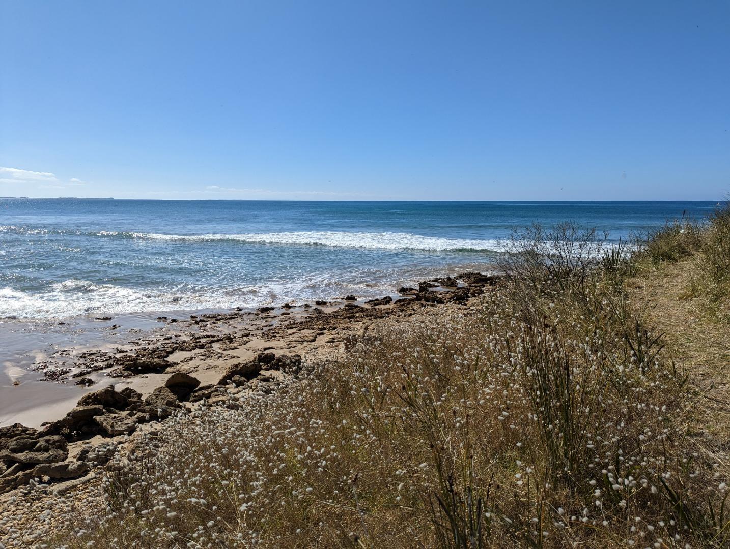
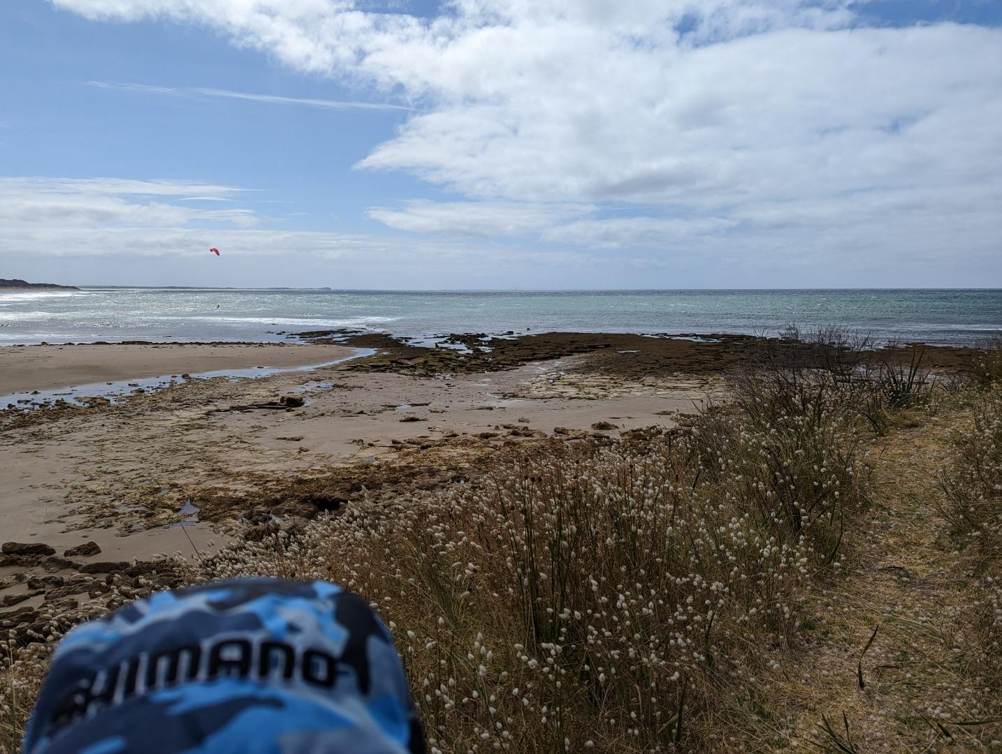
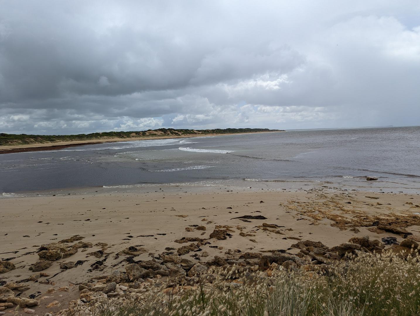
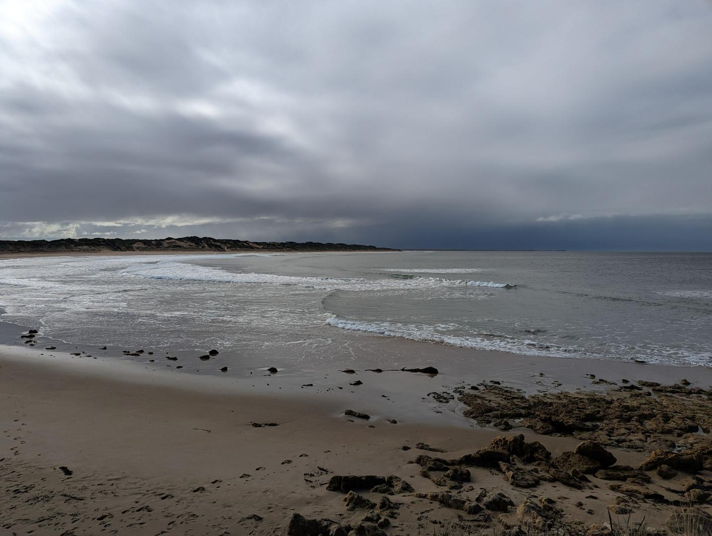
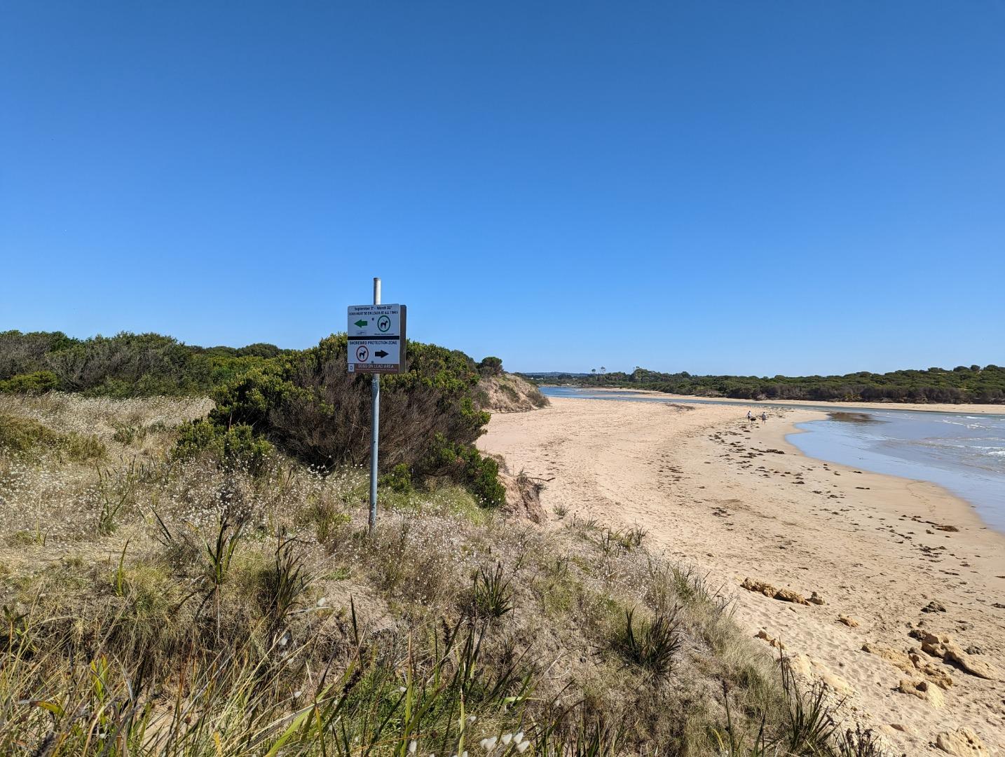
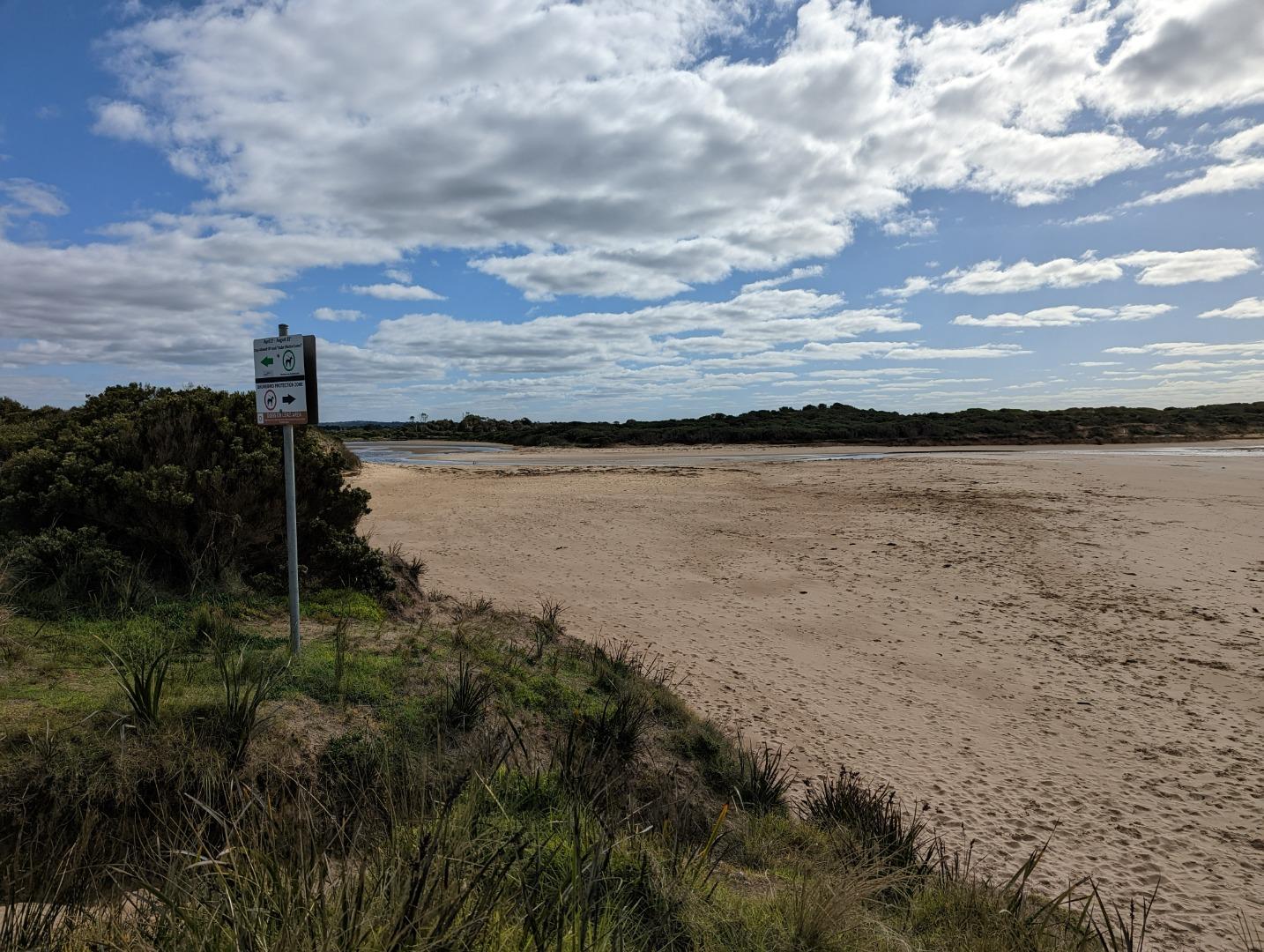
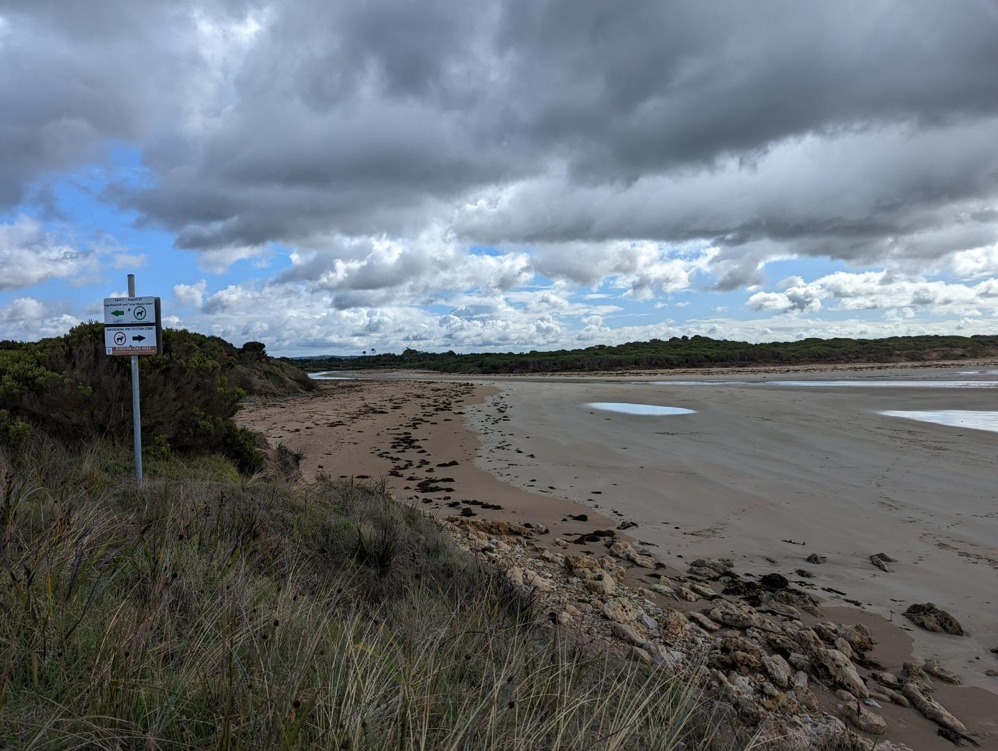
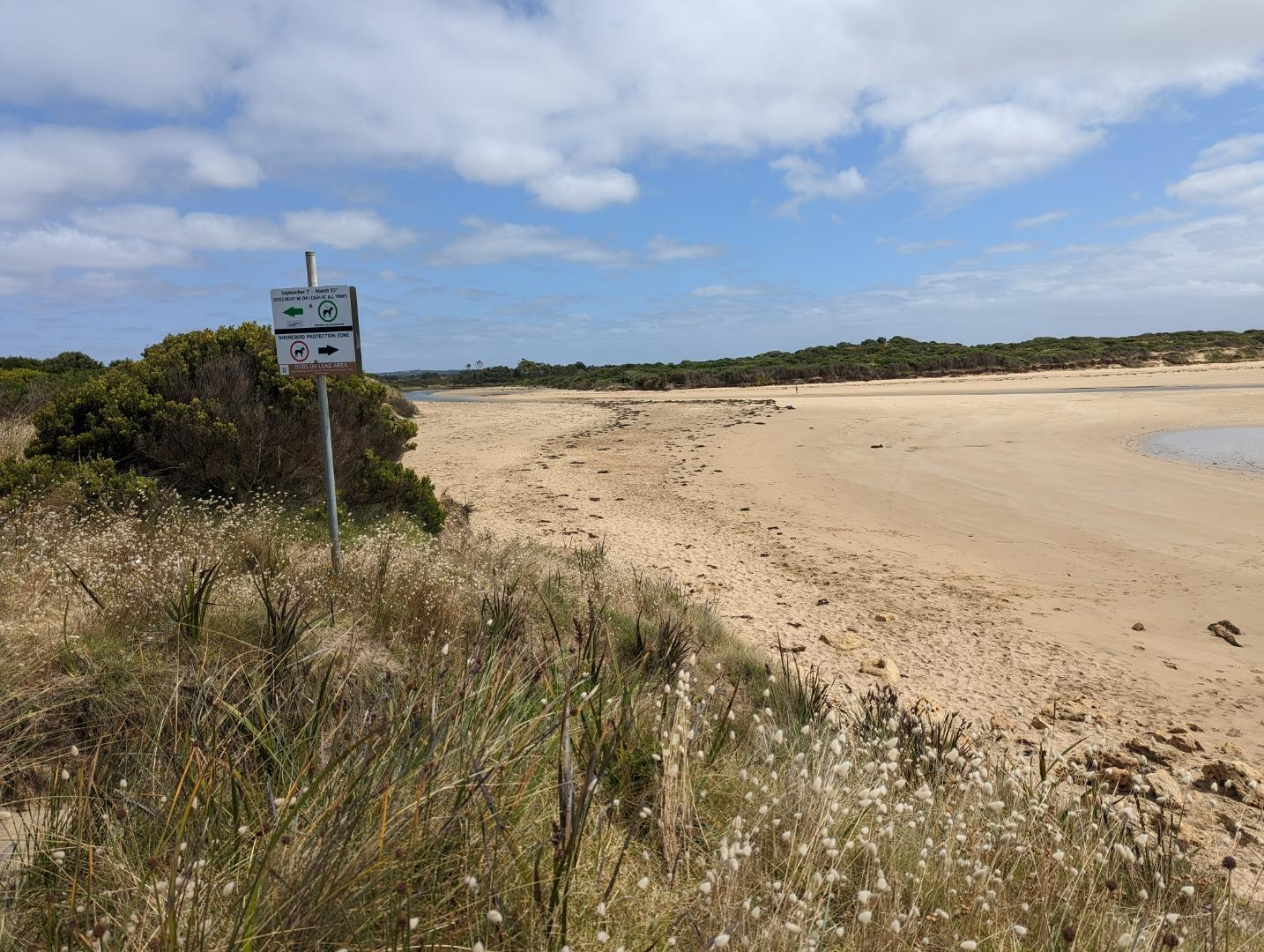
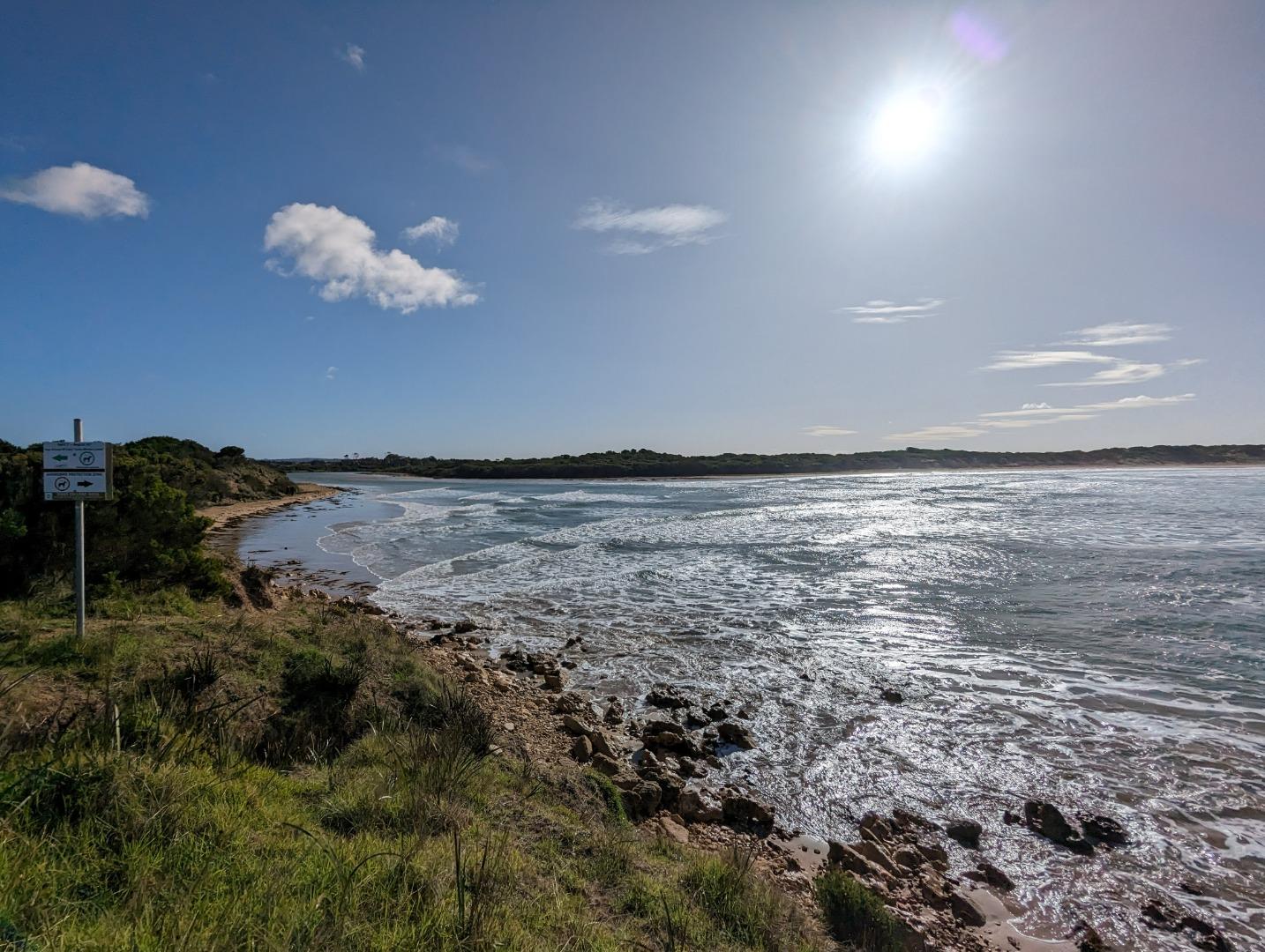
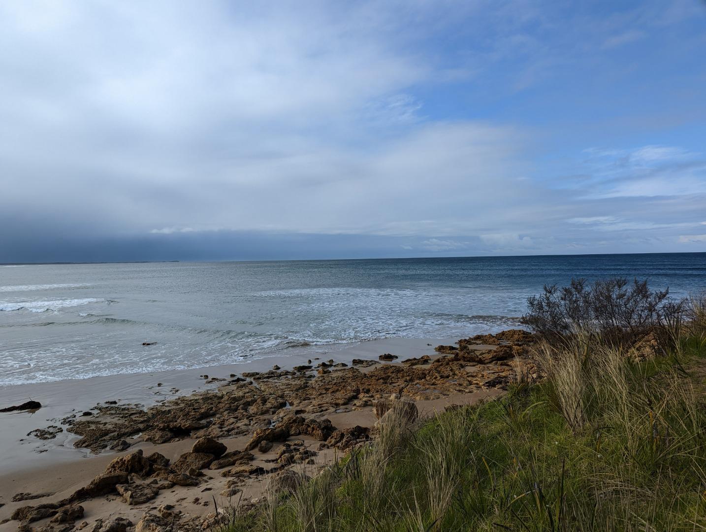
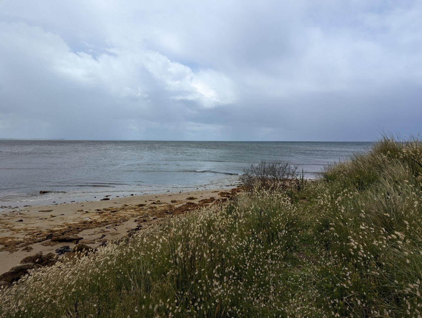
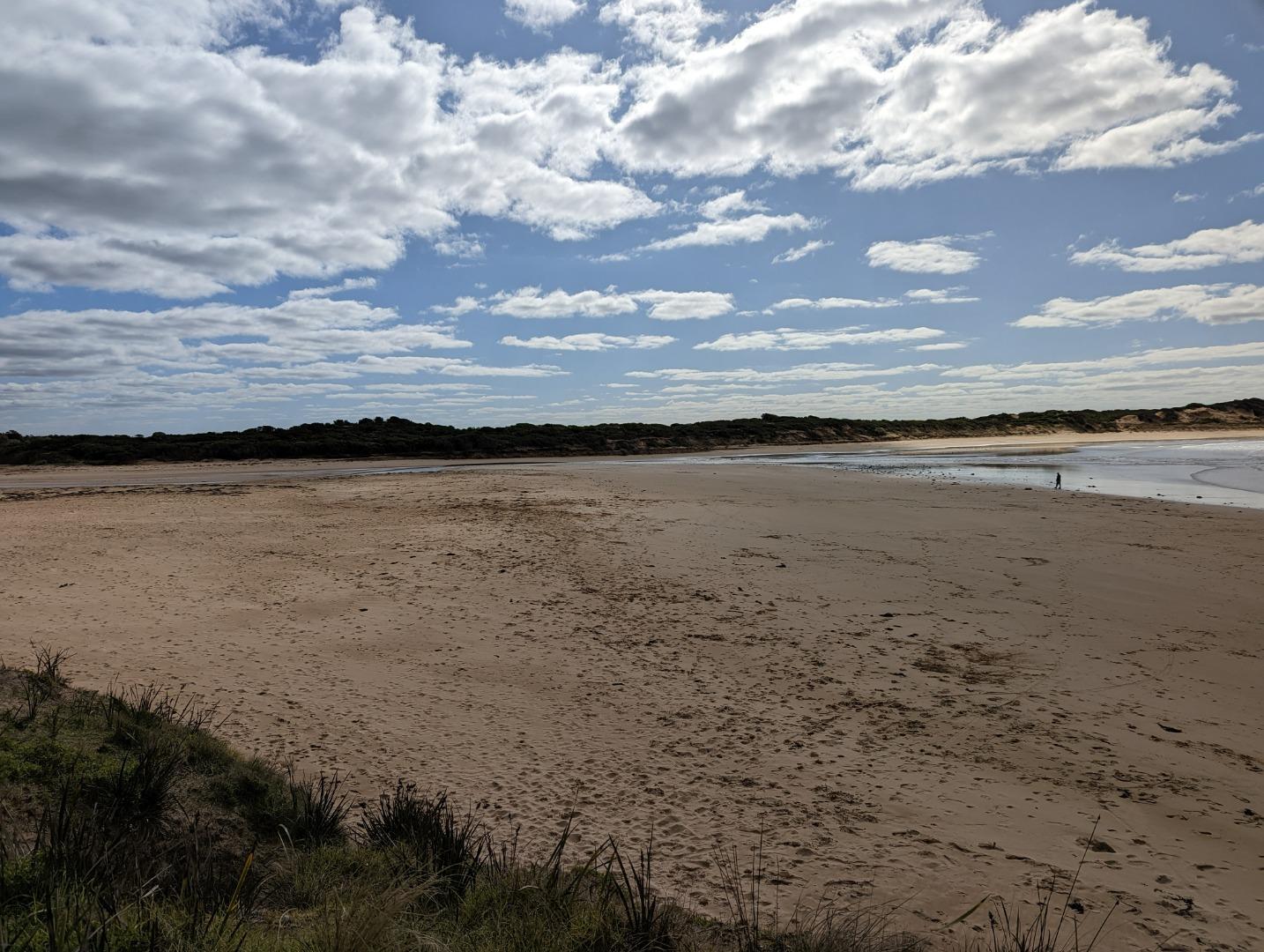
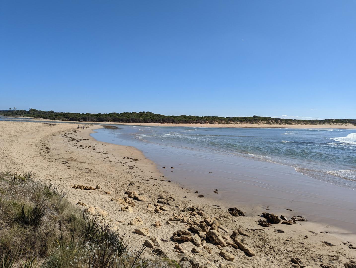
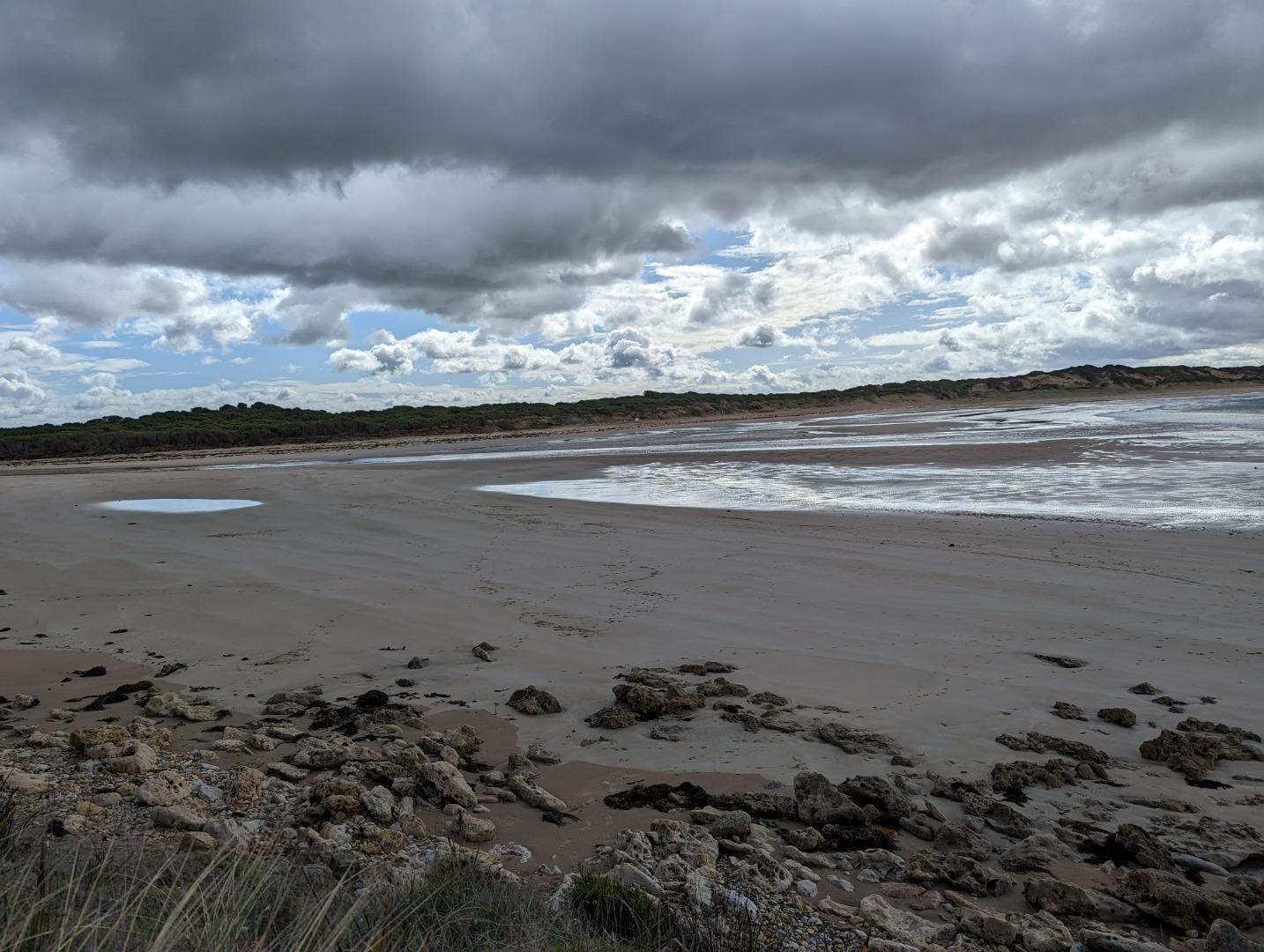
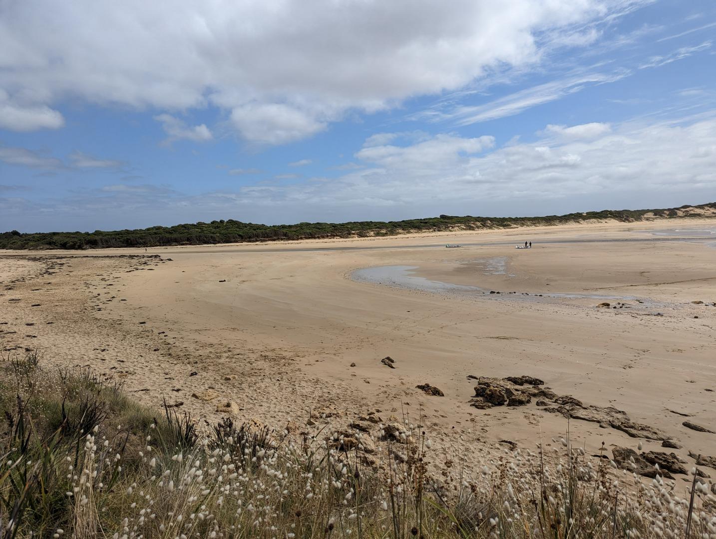
Photopoint photos
Photopoint TP1 16-07-2023
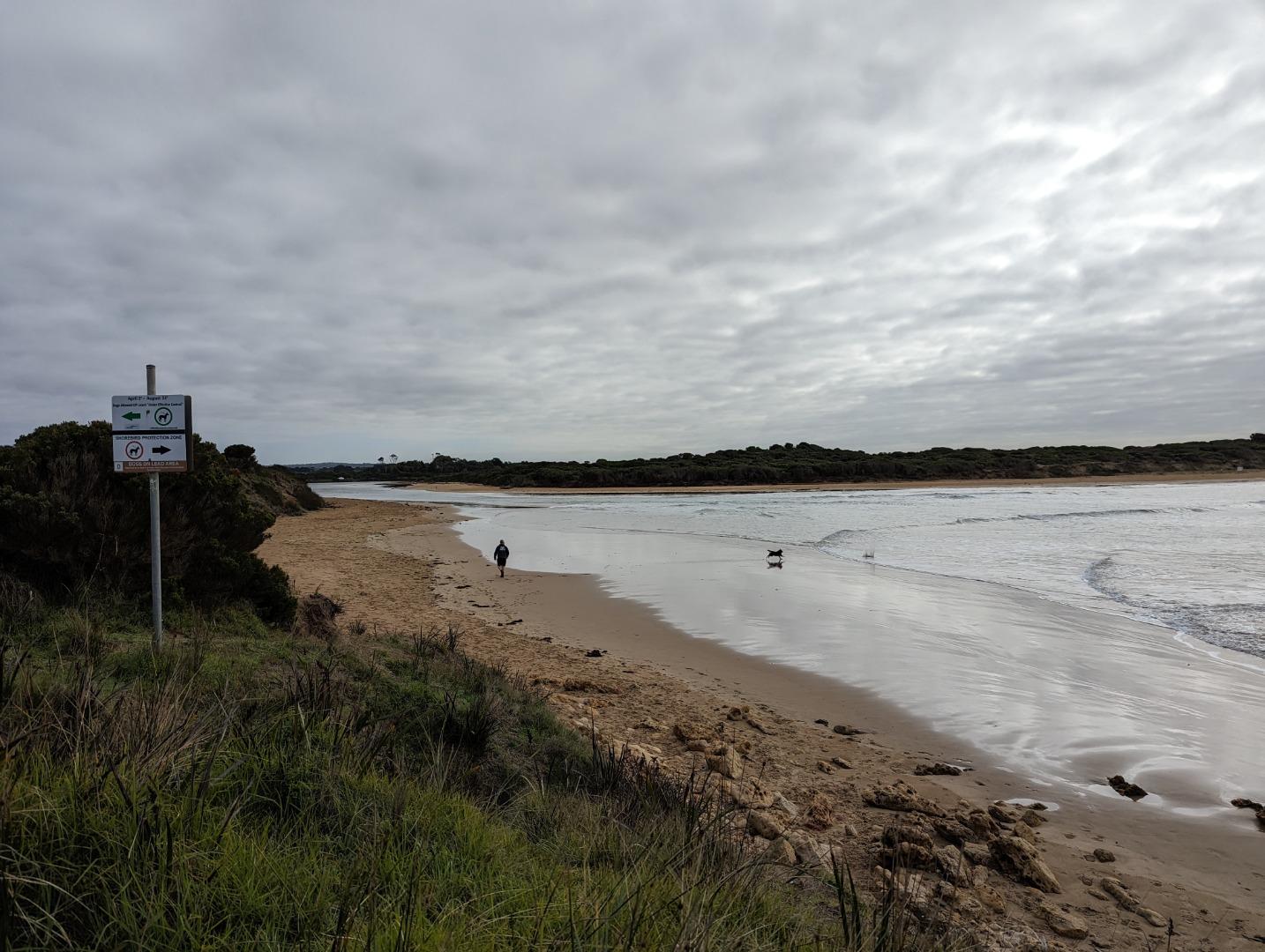
Photopoint TP1 10-07-2023

All content, files, data and images provided by the EstuaryWatch Data Portal and Gallery are subject to a Creative Commons Attribution License
Content is made available to be used in any way, and should always attribute EstuaryWatch and www.estuarywatch.org.au