EstuaryWatch Data Portal
Overview
| Estuary name | Wye River Estuary |
|---|---|
| CMA | Corangamite CMA |
| Description |
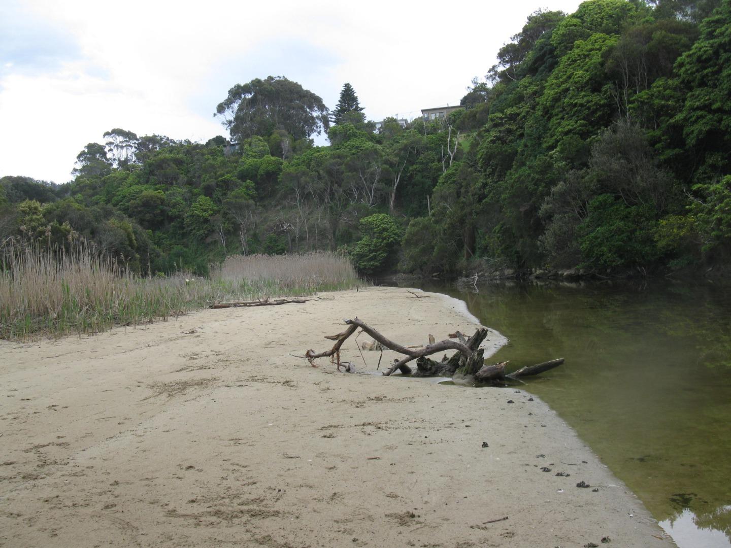
The estuary is home to the vulnerable Tasmanian Mudfish which bury themsleves beneath logs or stones during dry summers. The estuary is approximately 1km in length |
| Estuary Values |
|
| Estuary Threats |
|
| Data | Site observations |
| Status | Active |
| Monitor group | Wye River EstuaryWatchers |
Sites
| Site details | Options |
|---|---|
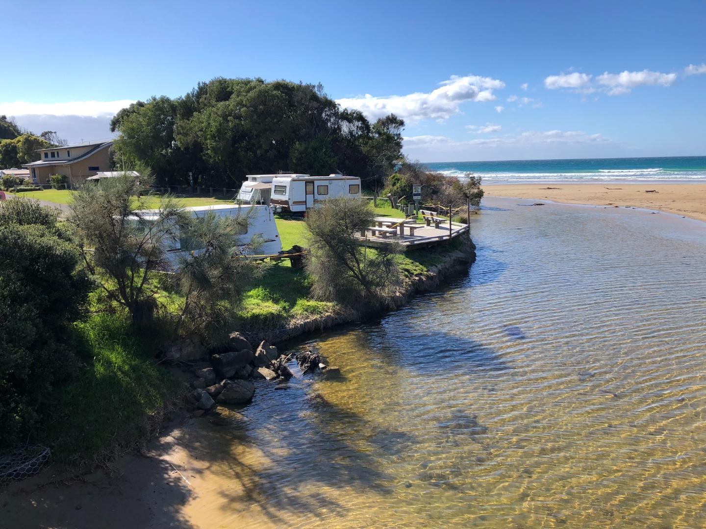
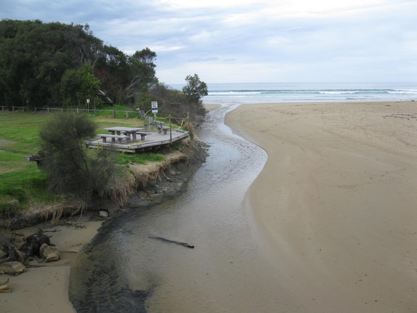
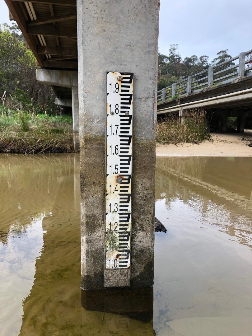
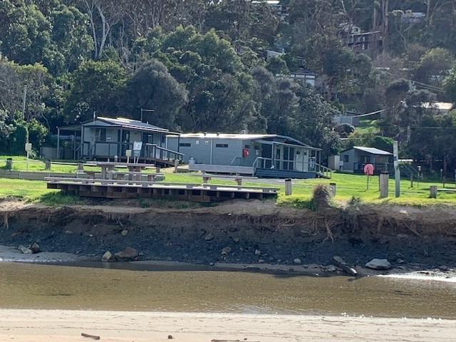
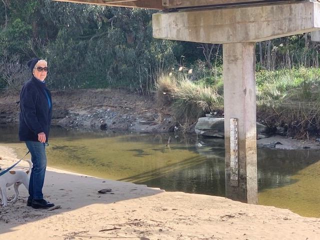
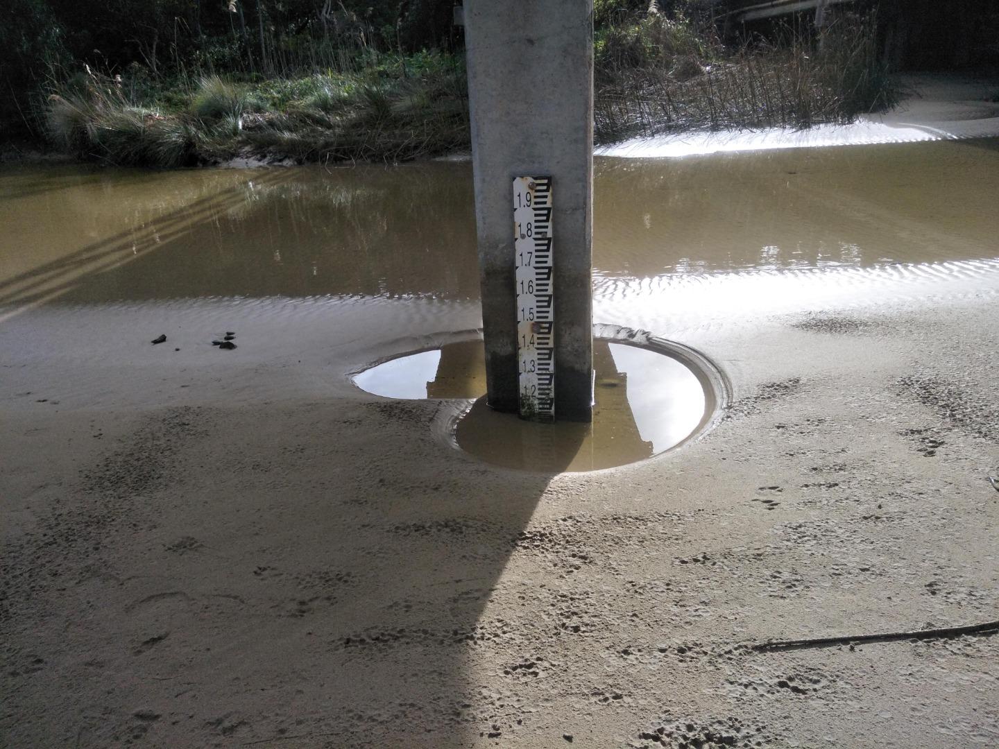
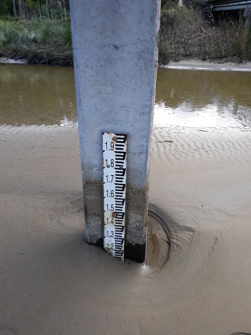
Wy1 Fishing platformInactive Physico-Chemical 06-07-2014 - 29-03-2019Fishing platform upstream of the GOR bridge in Wye River. Measurements are taken from the fish ruler. |
Observations 9 |
WY2 Wye River Upper Phys.ChemActive Physico-Chemical 23-11-2018 - 29-03-2019 |
Observations 6 |
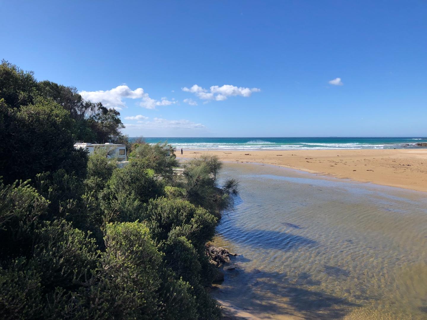
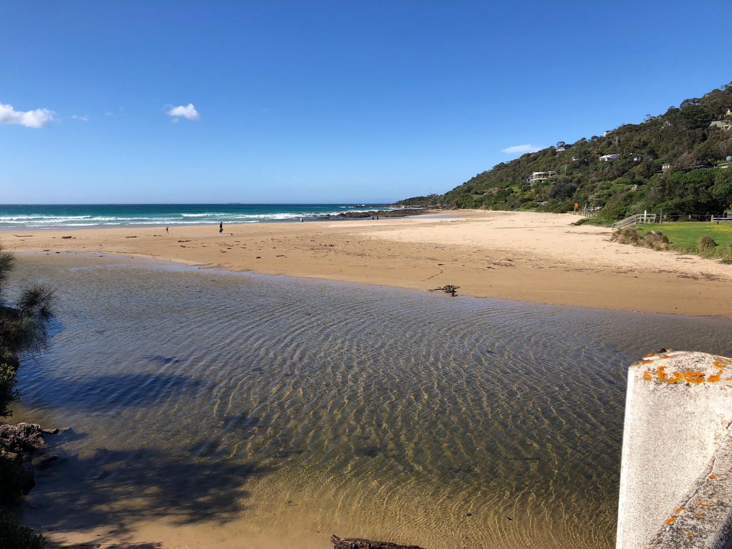
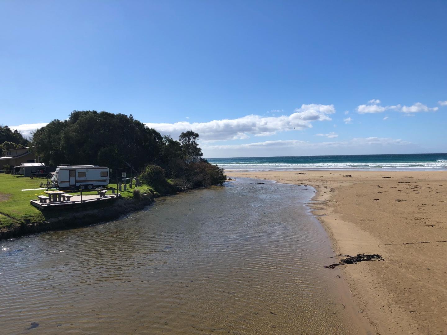
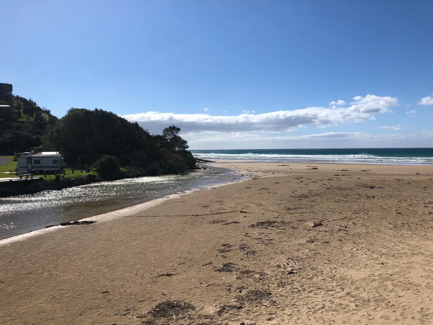
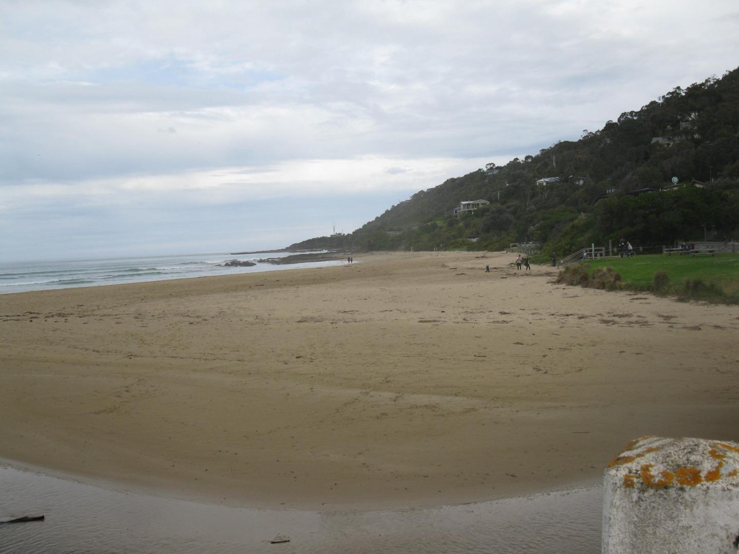
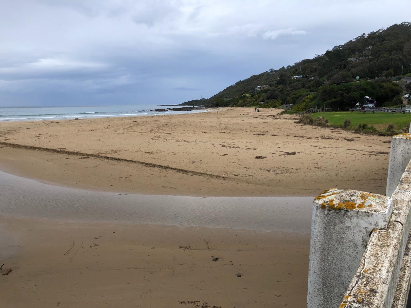
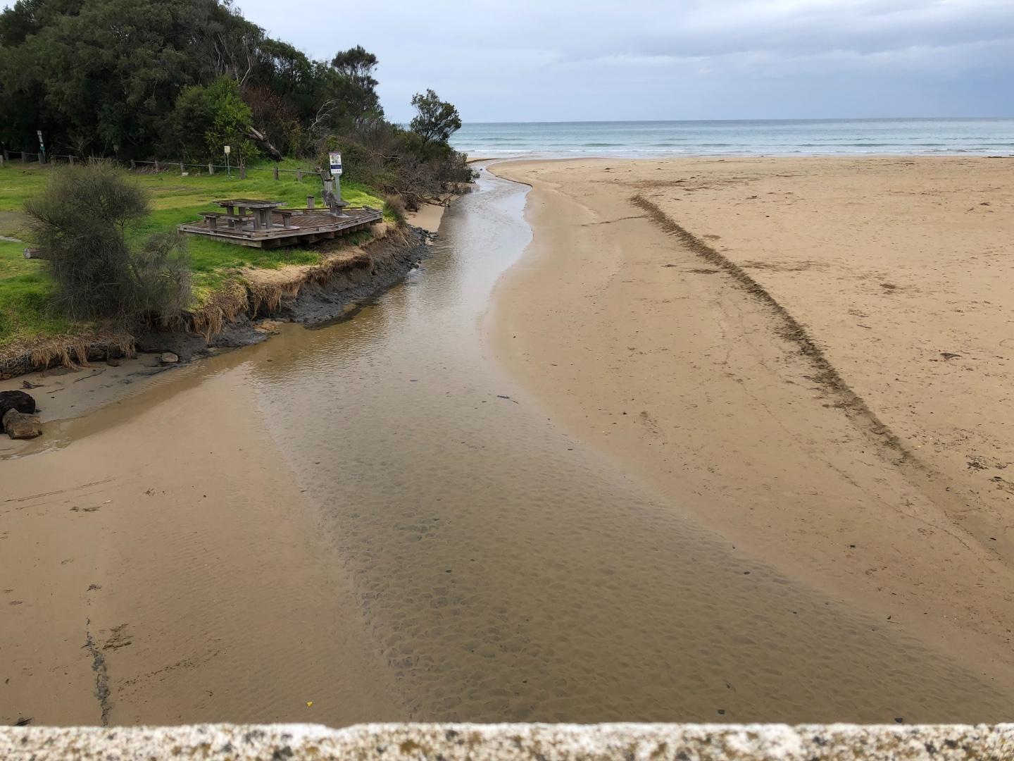
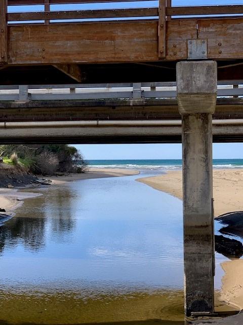
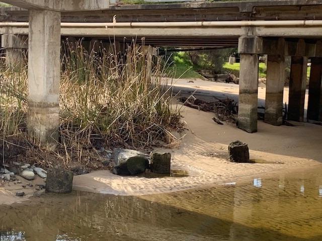
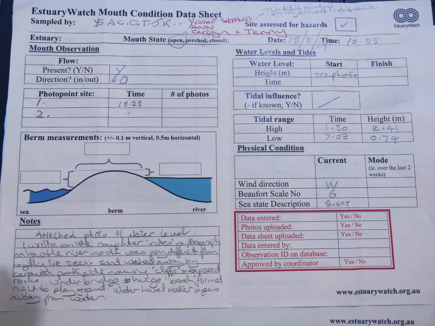
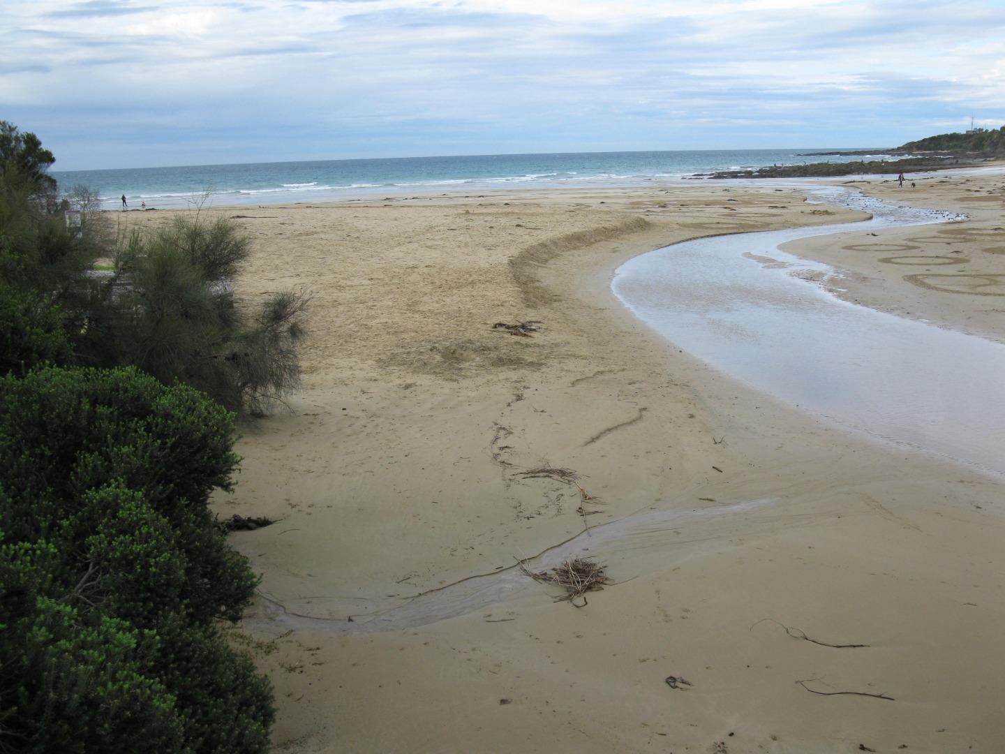
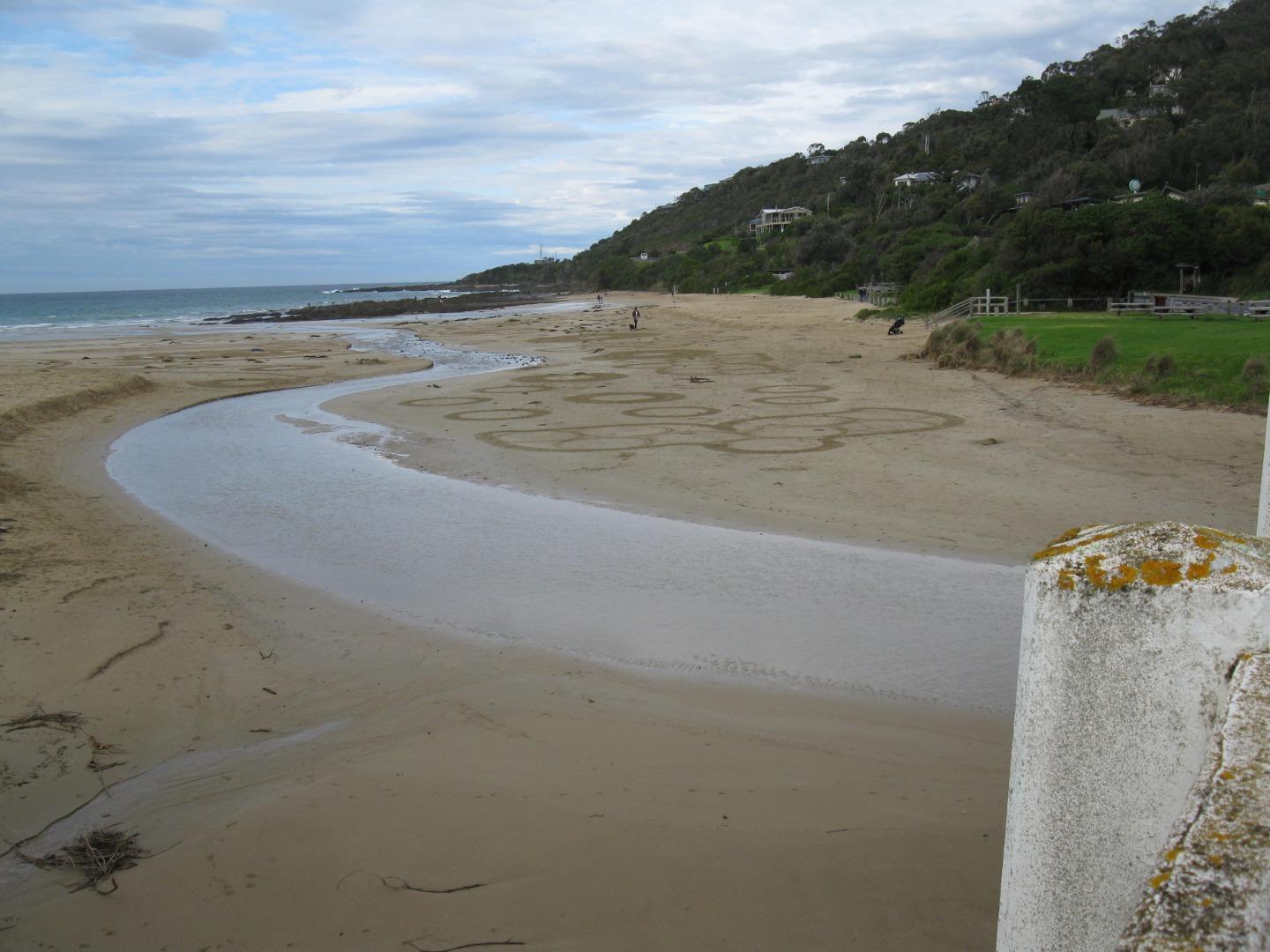
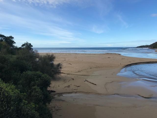
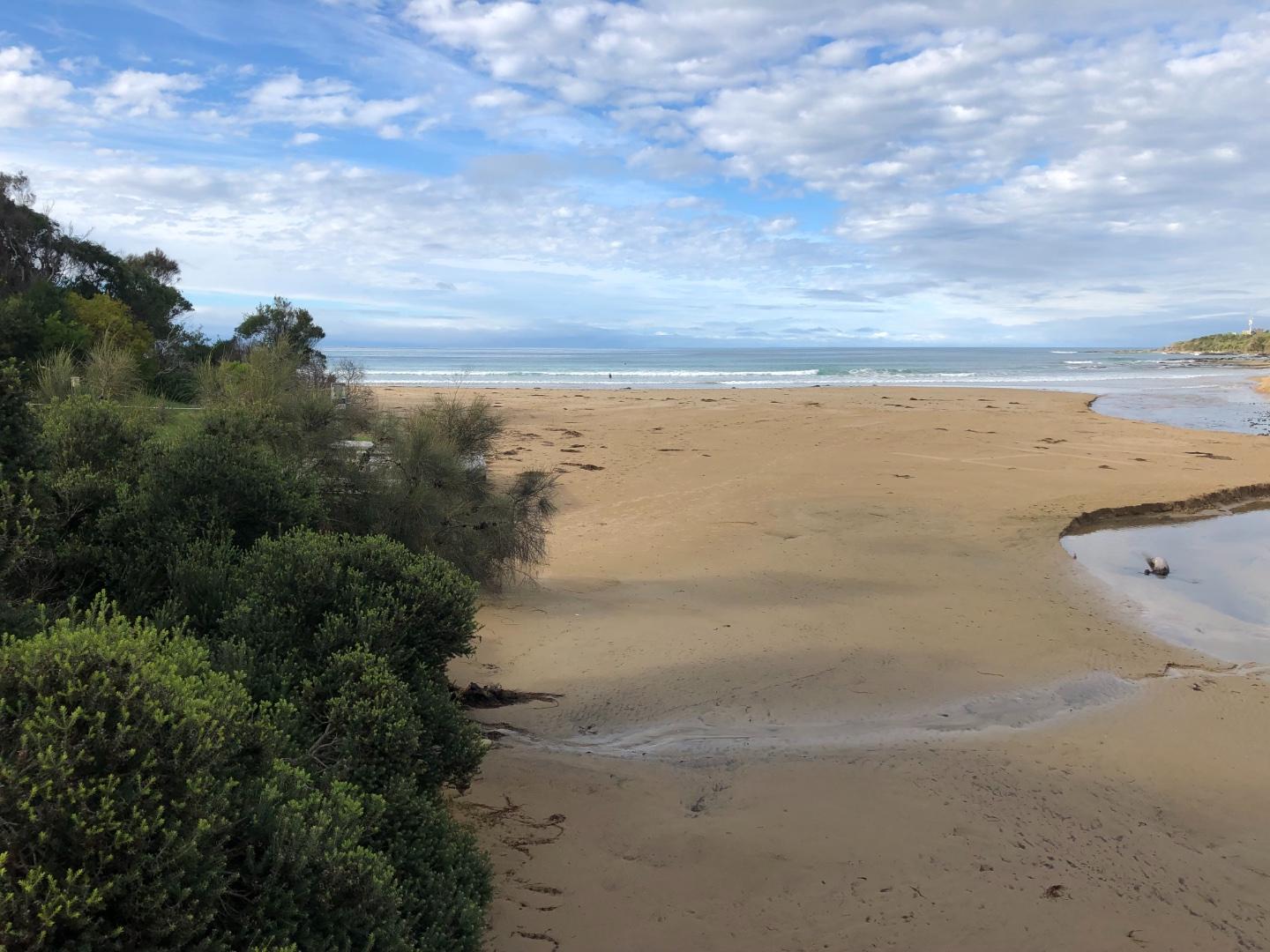
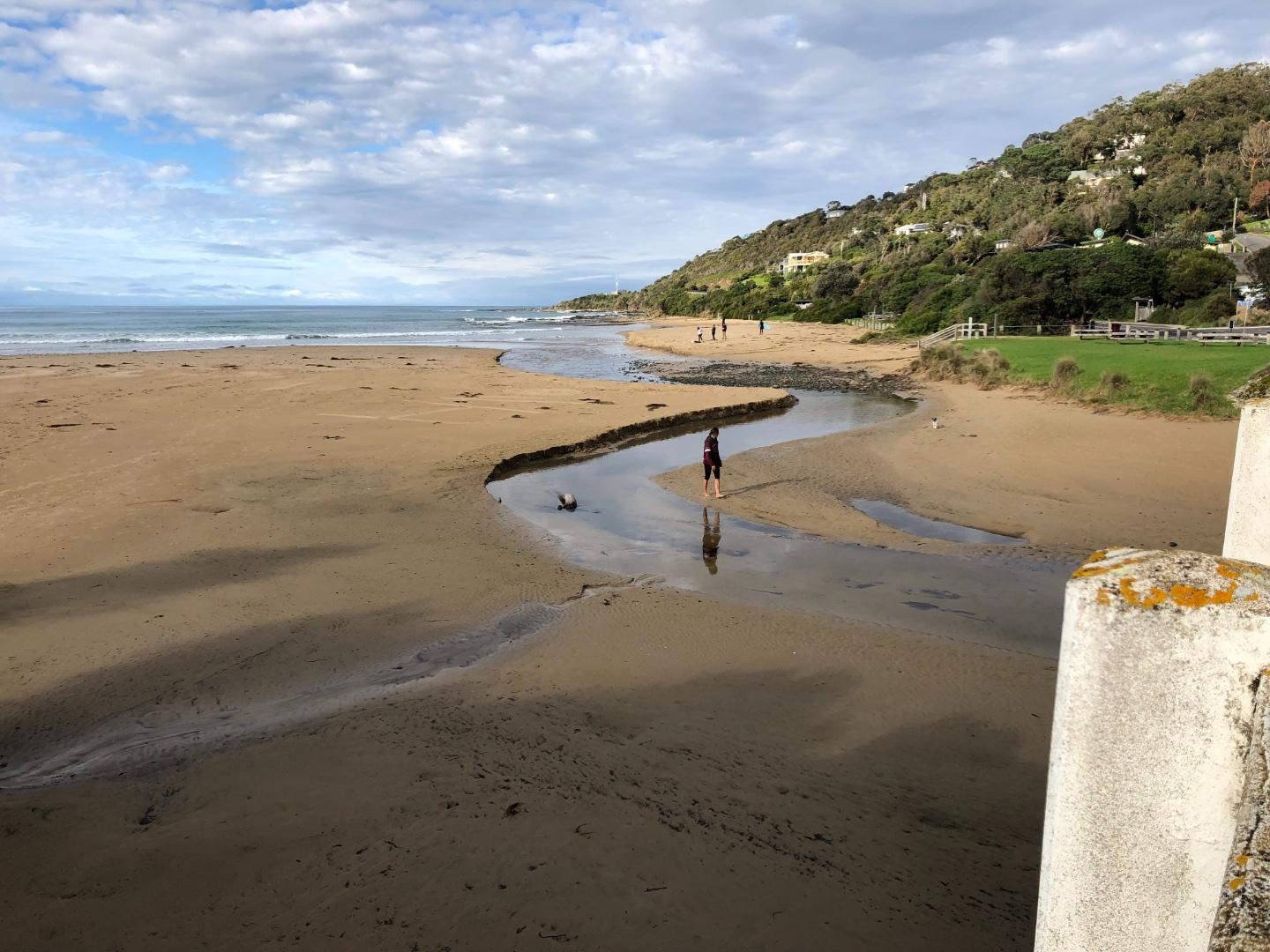
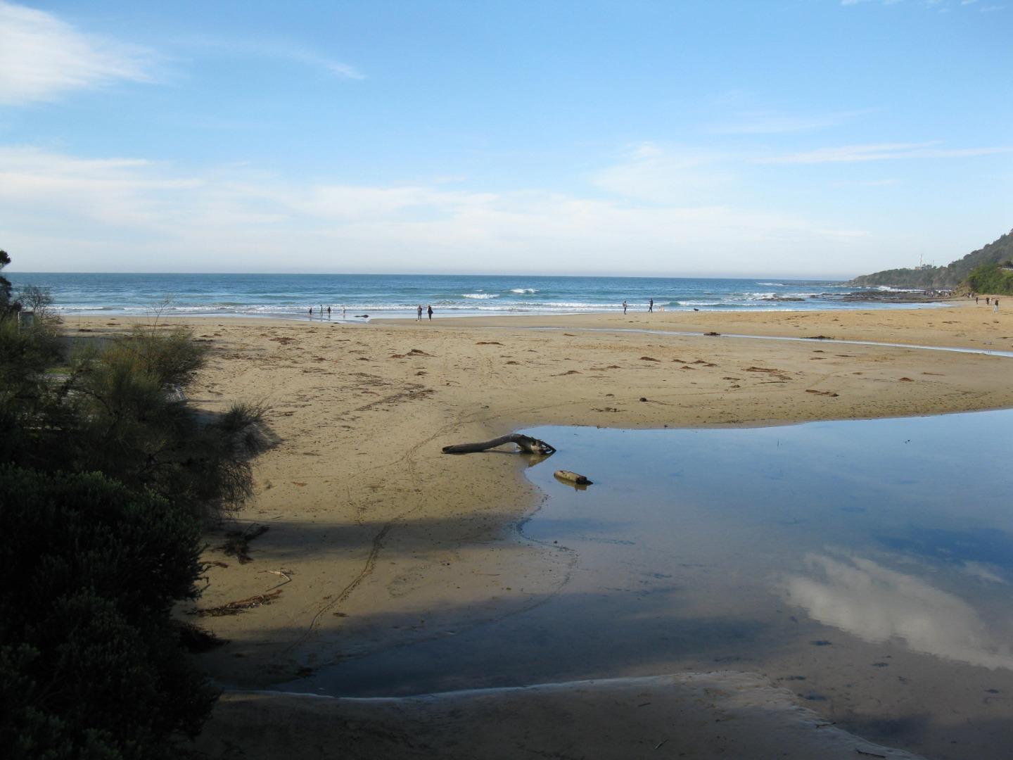
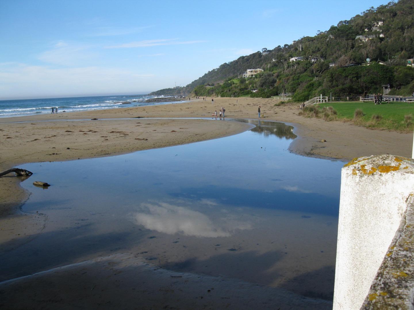
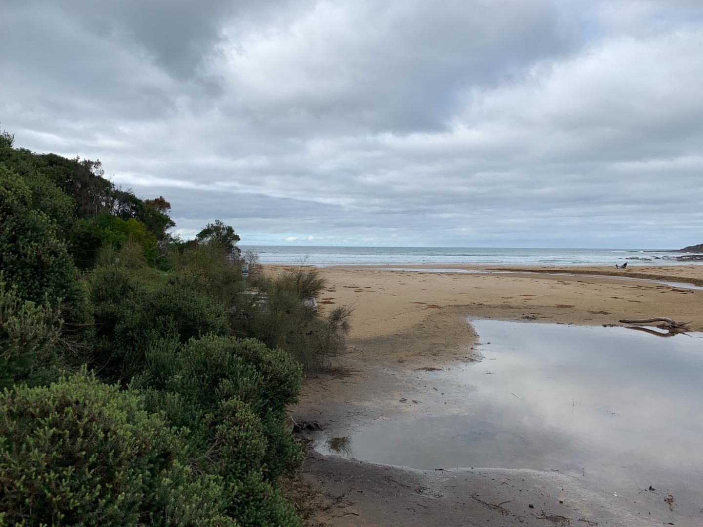
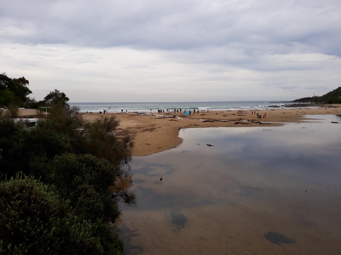
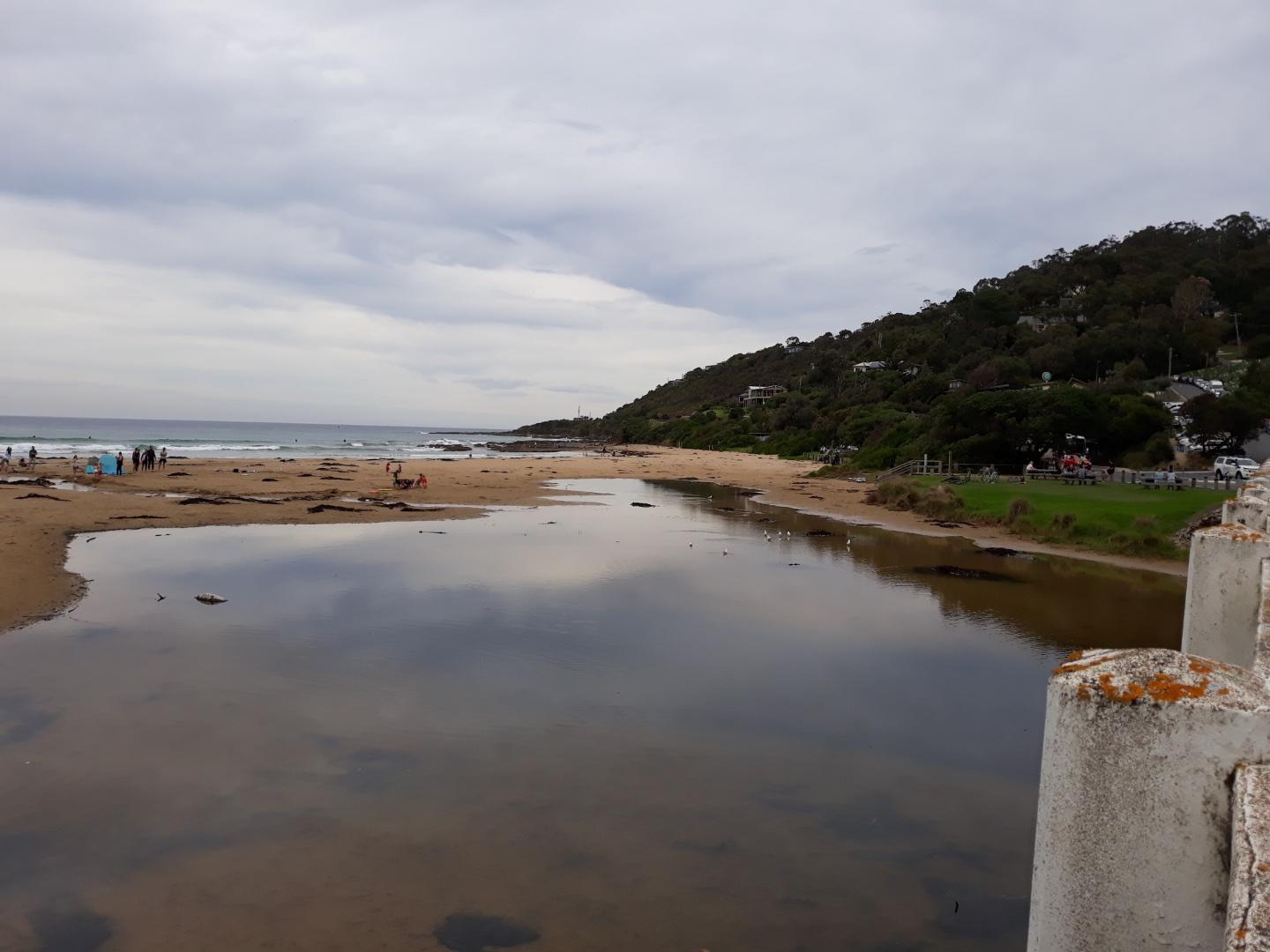
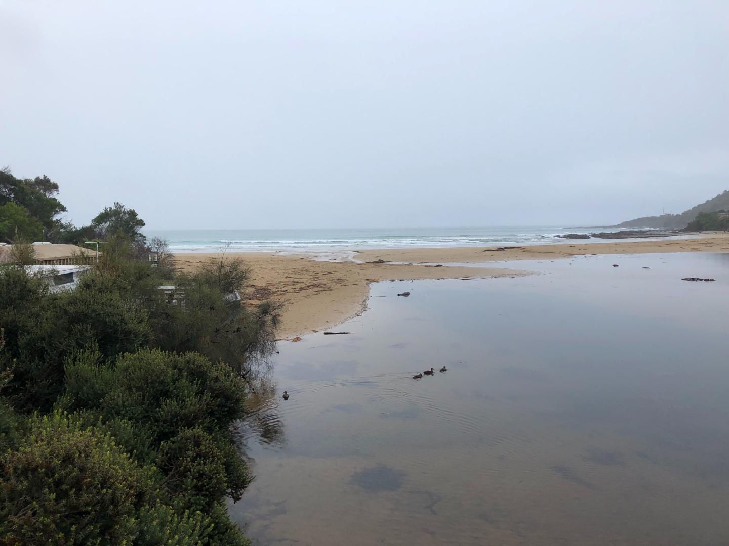
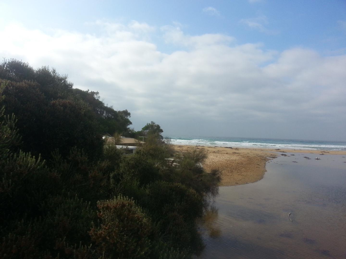
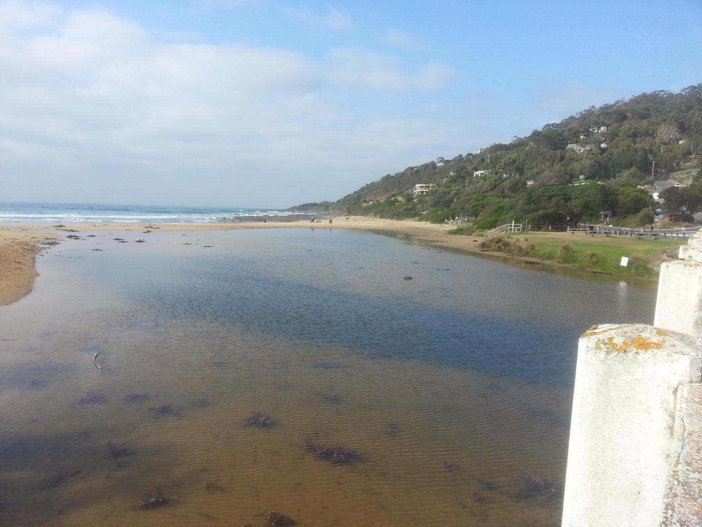
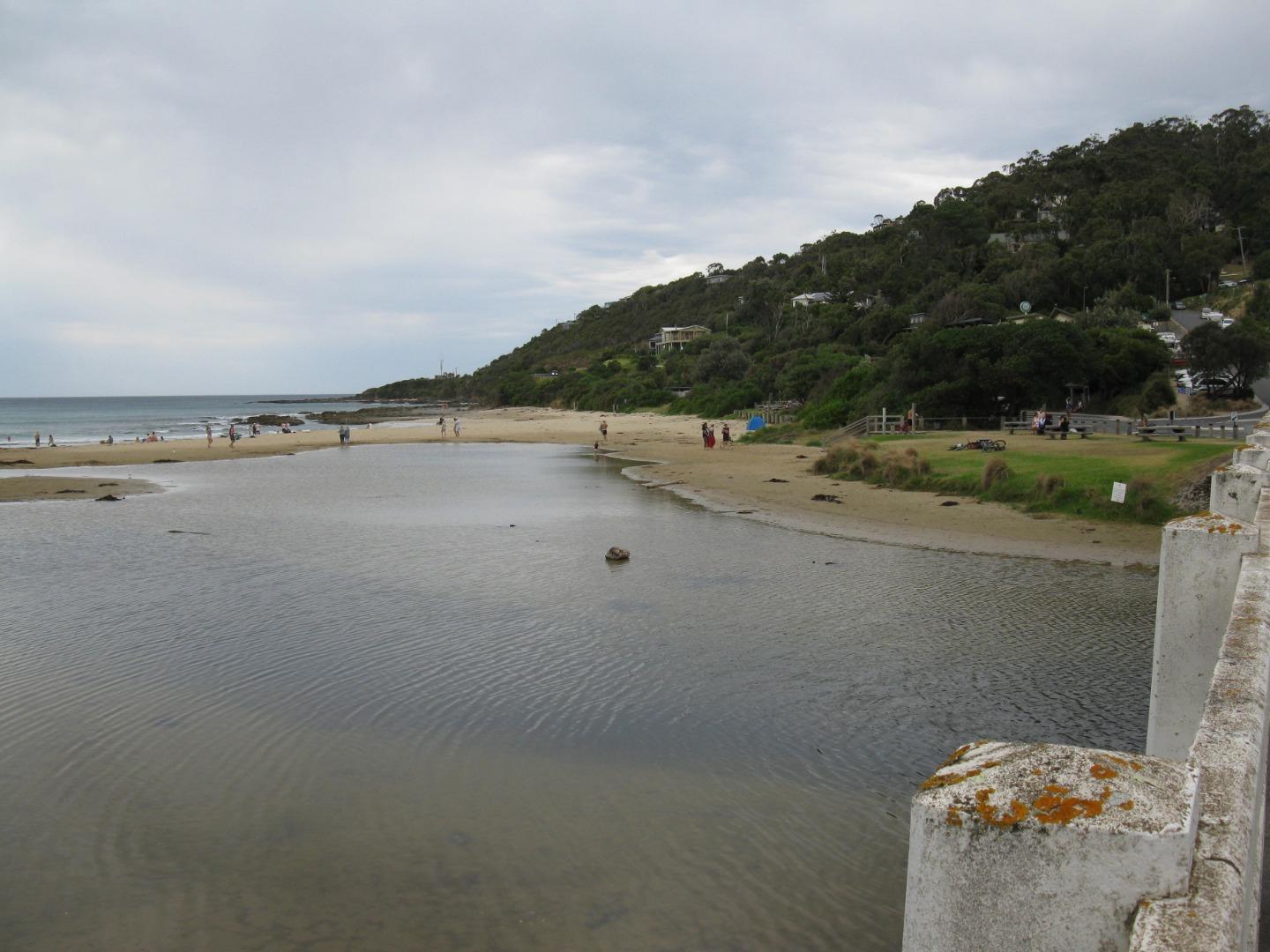
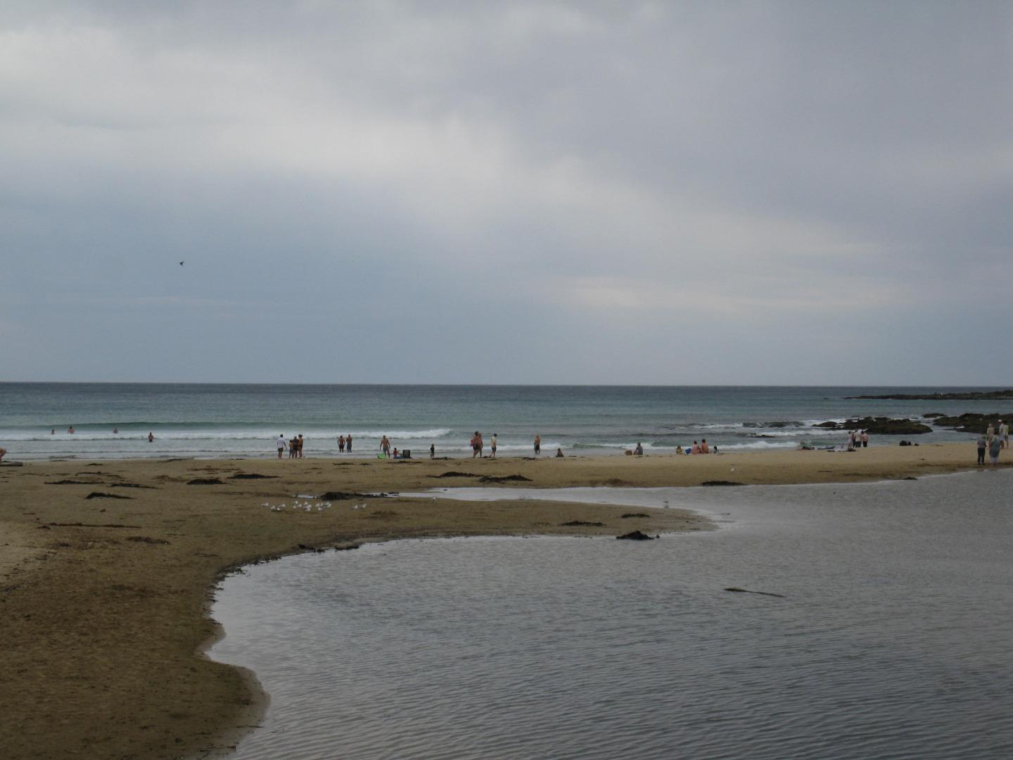
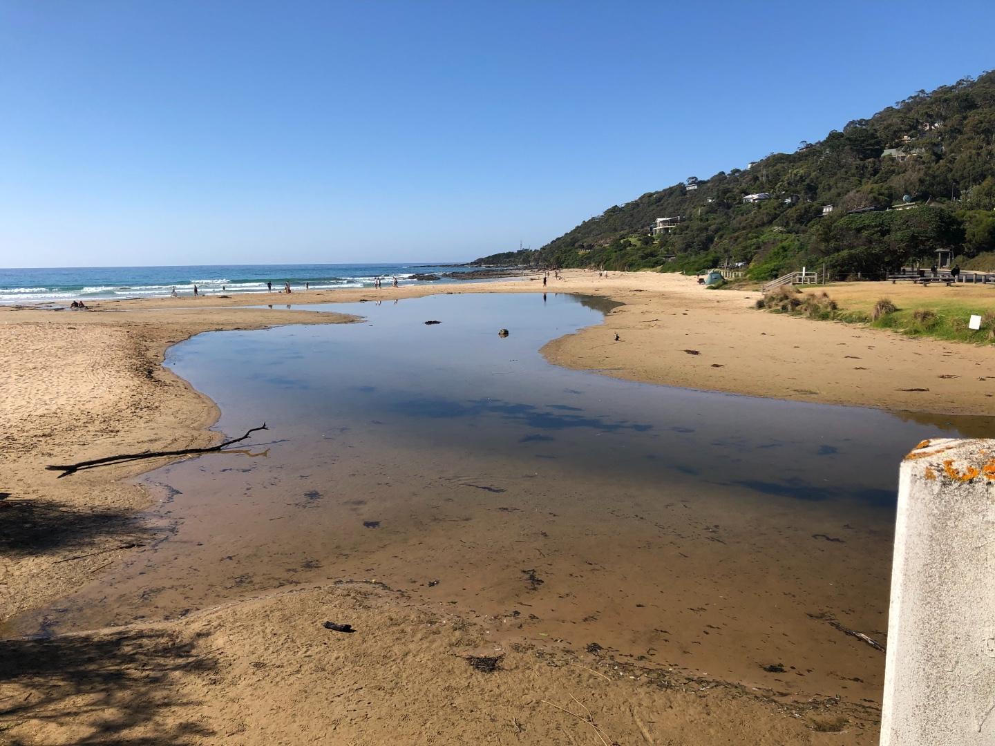
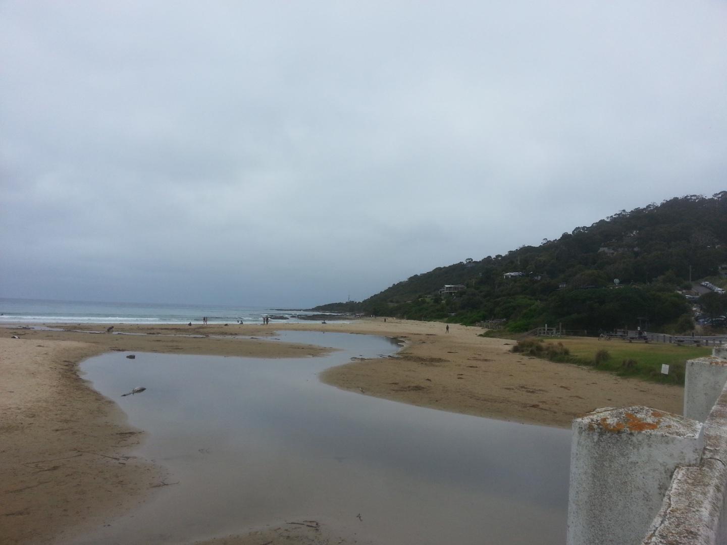
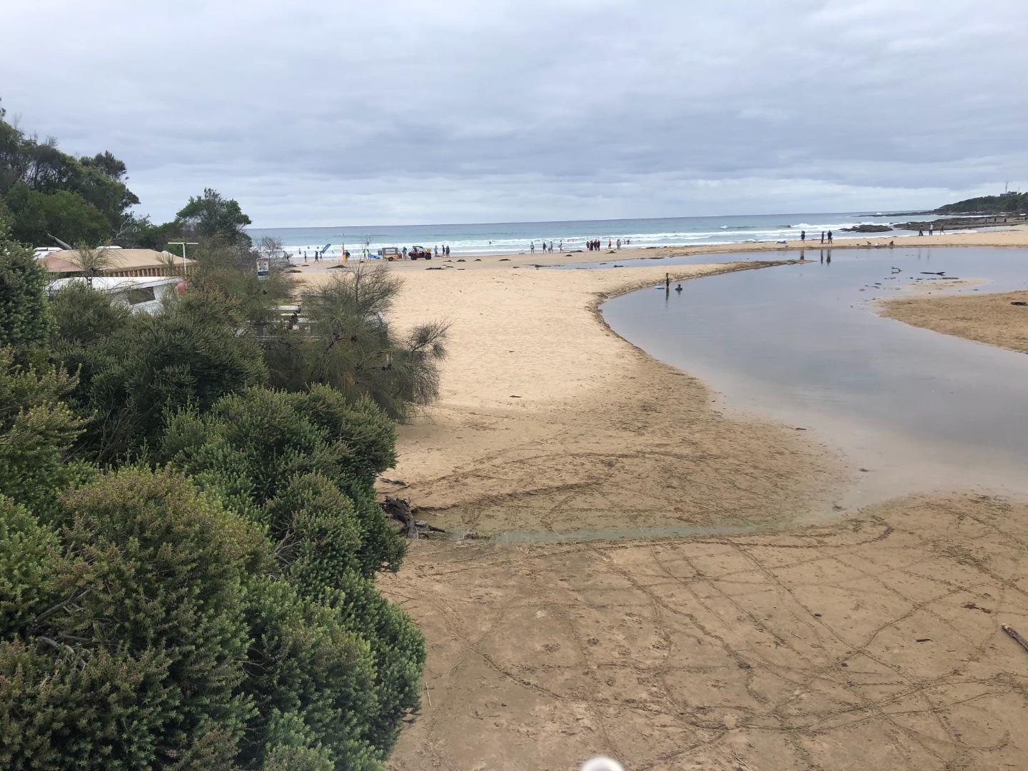
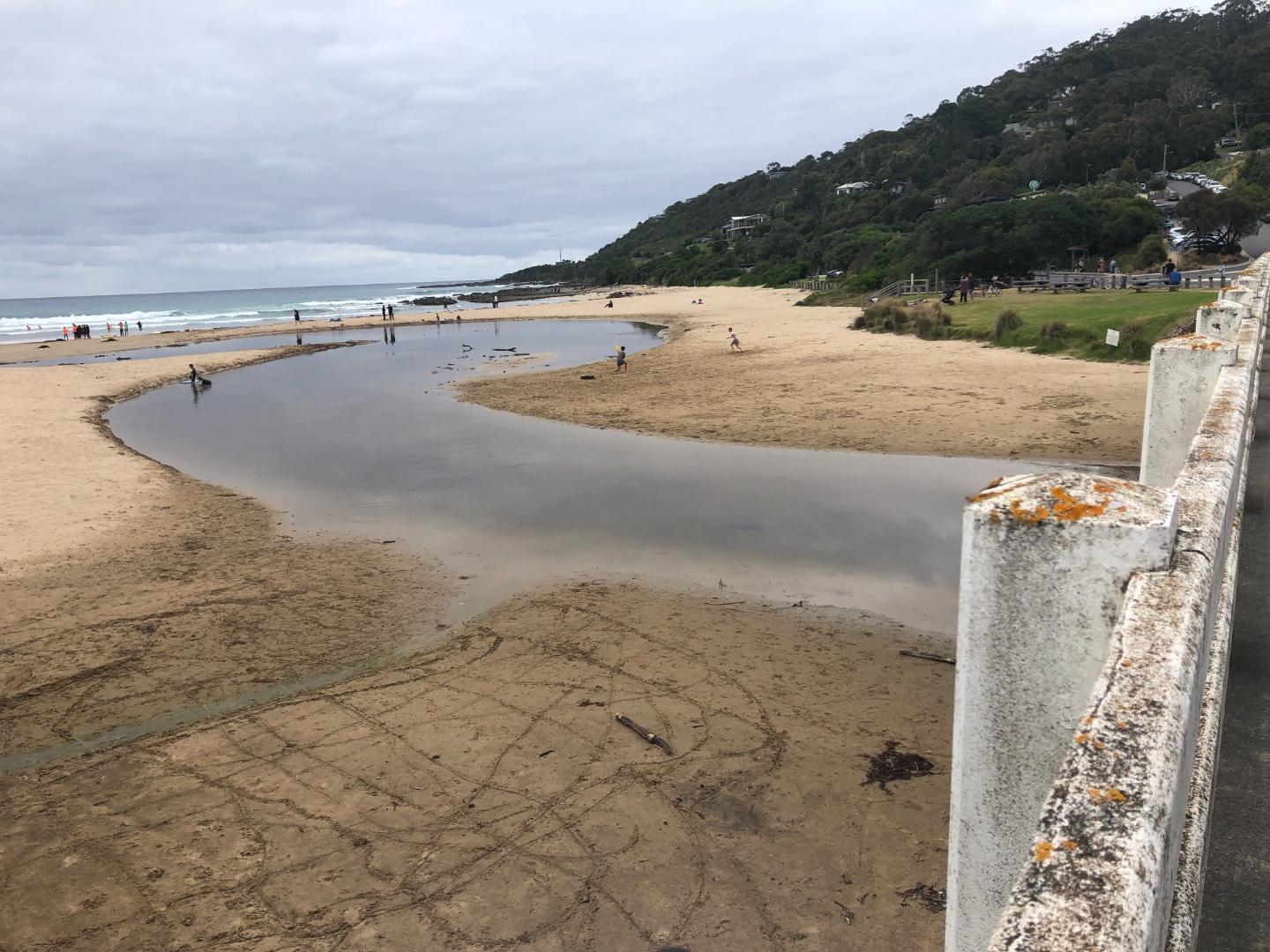
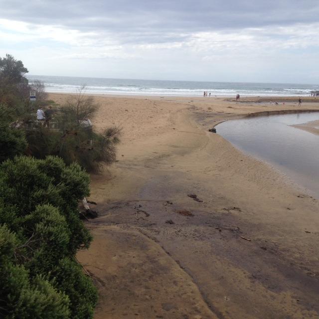
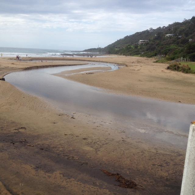
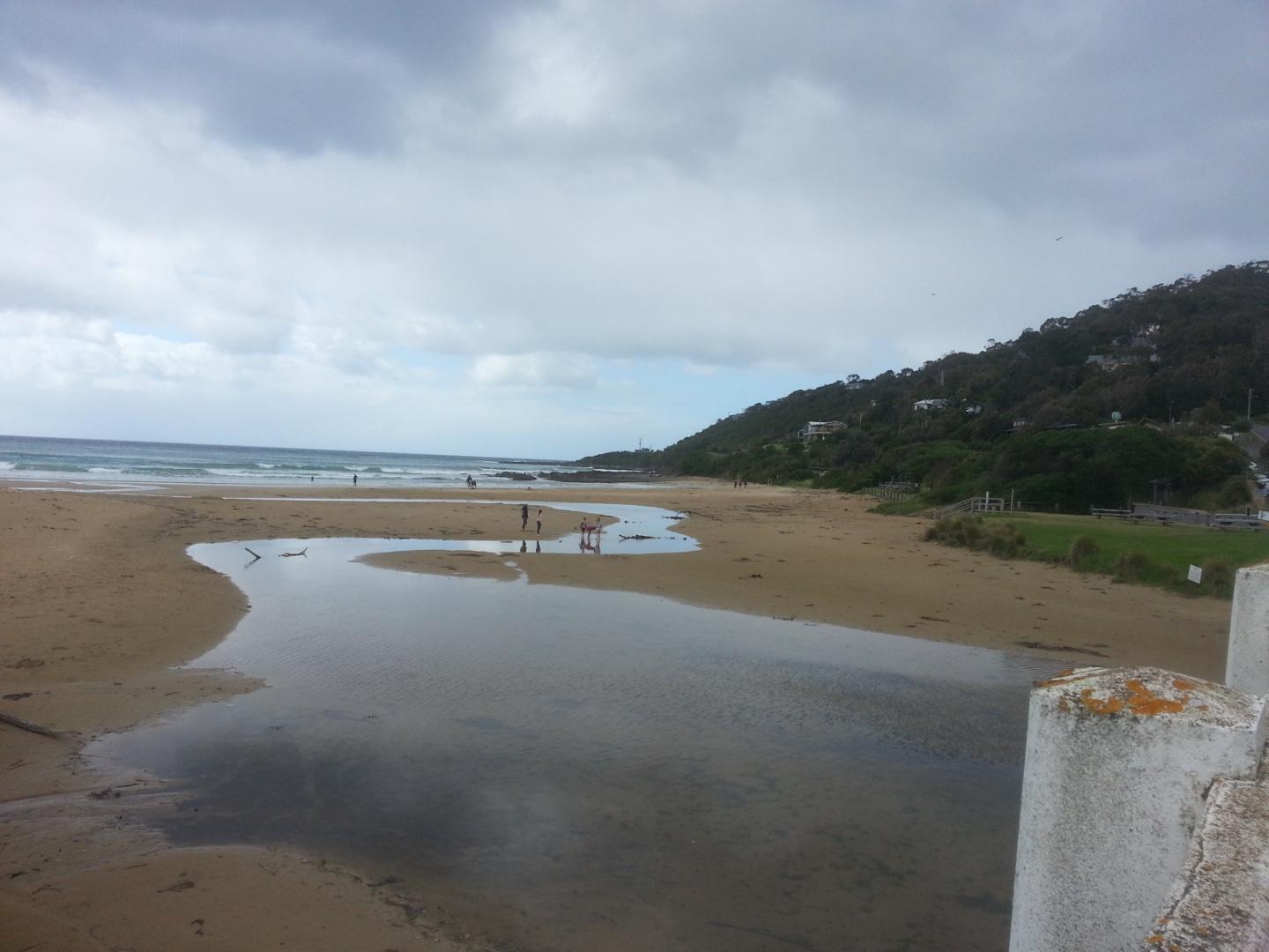
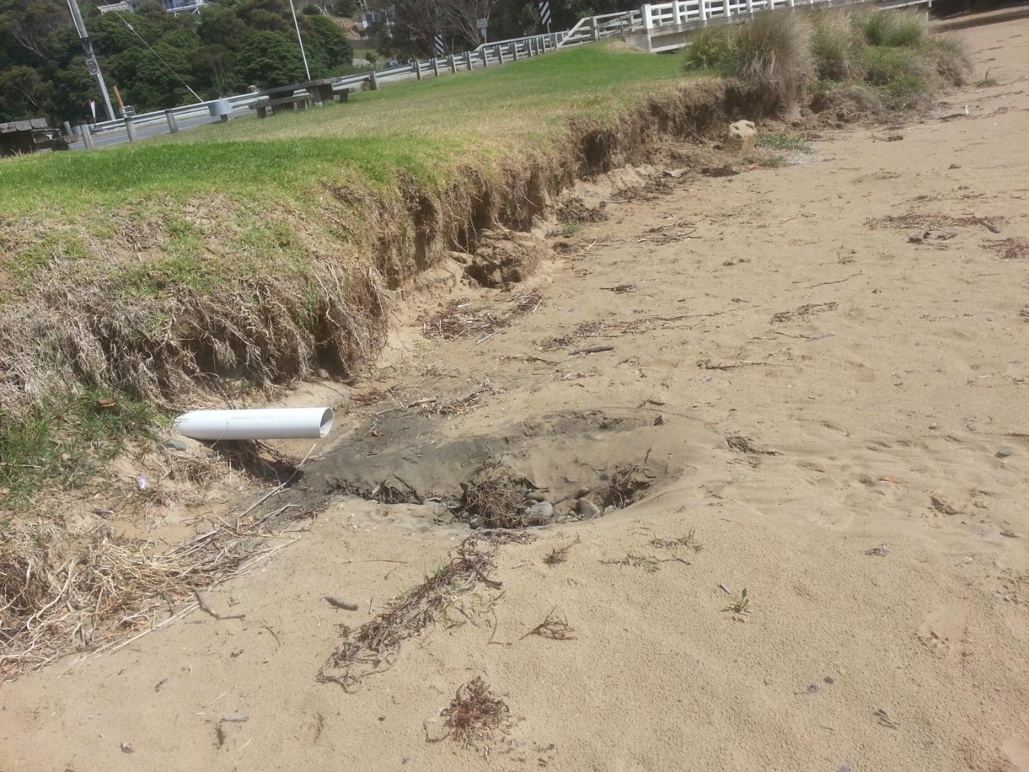
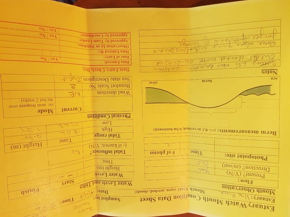
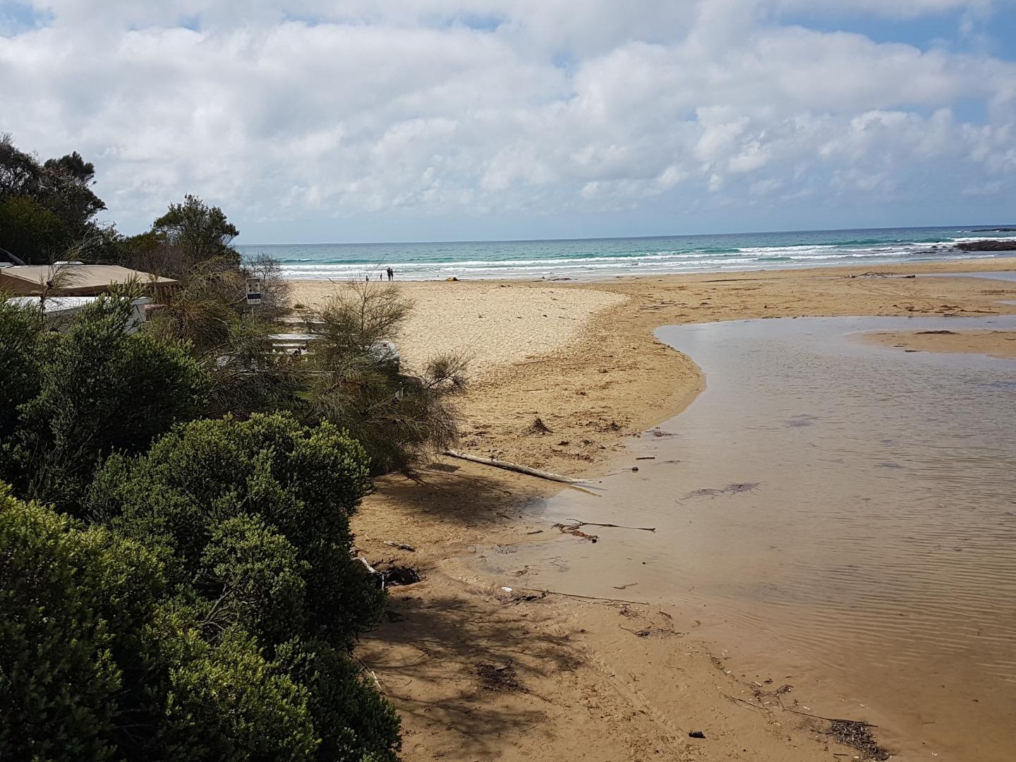
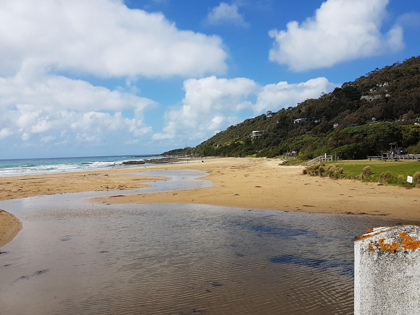
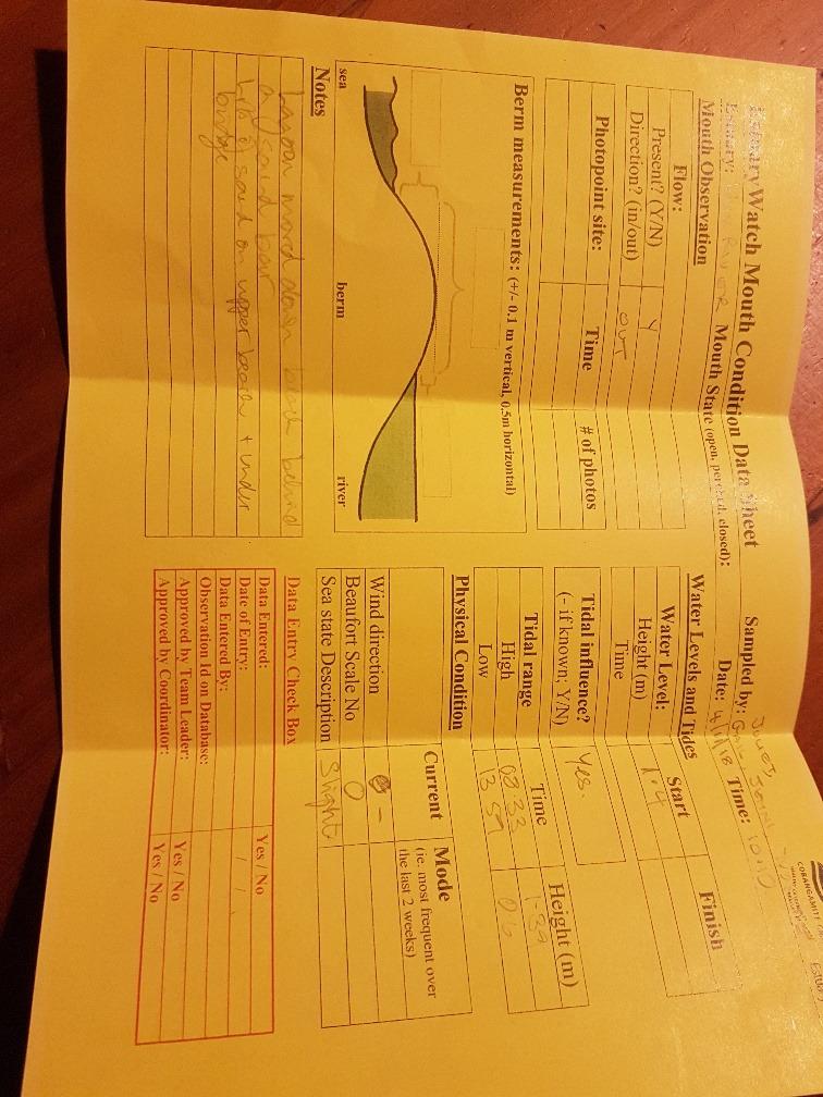
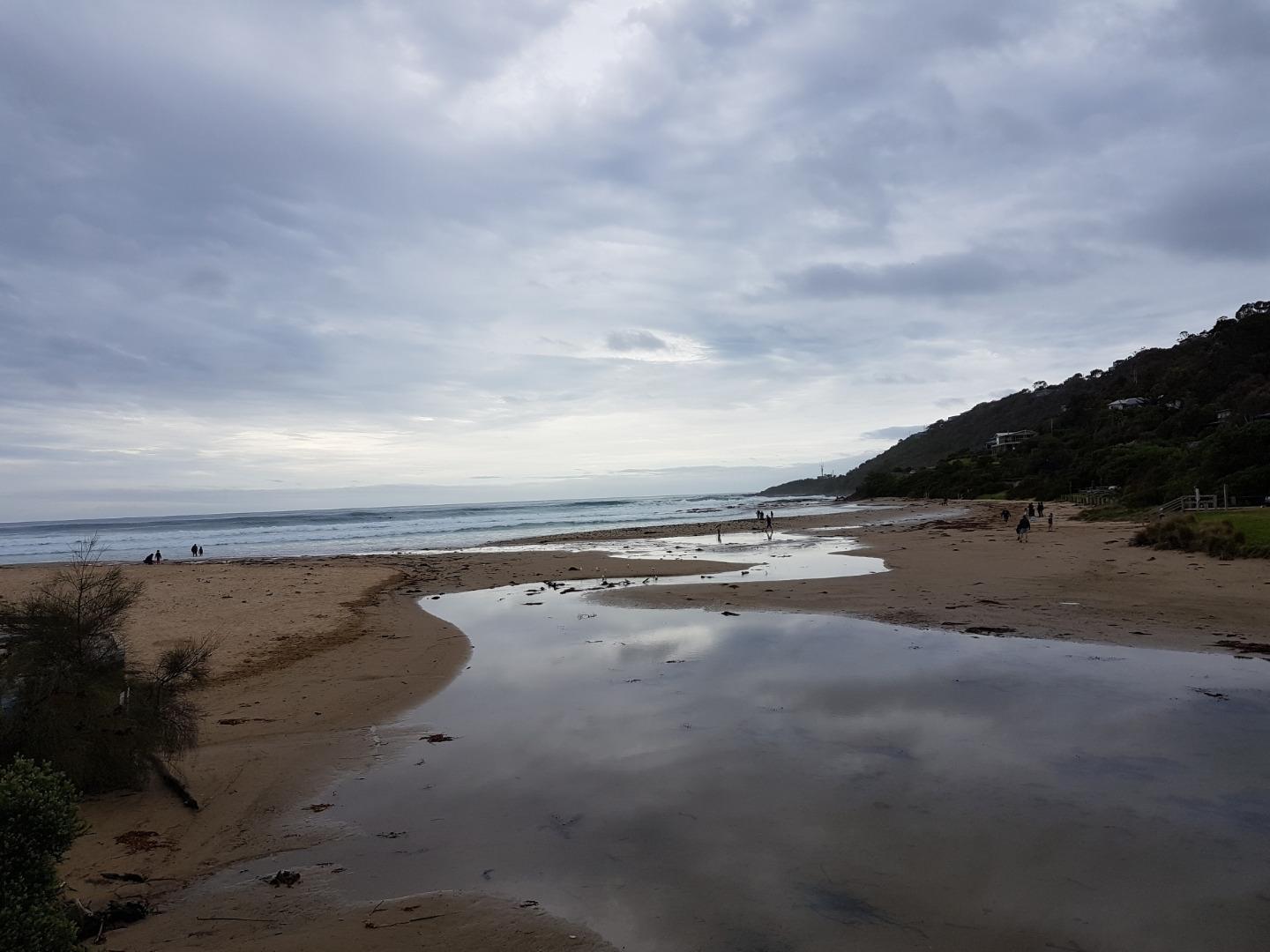
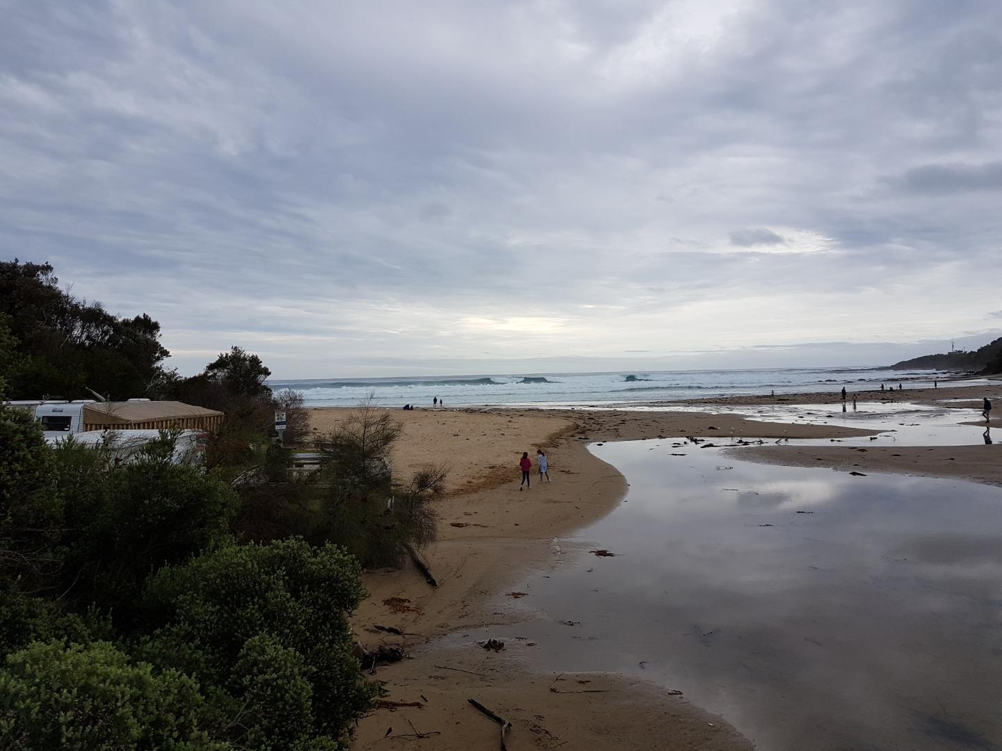
WyMC Wye River Mouth ConditionActive Mouth Condition 20-01-2007 - 21-04-2024A small steep catchment, the Wye River passes through the township of Wye River and flows under the Great Ocean Road. |
Observations 280 |
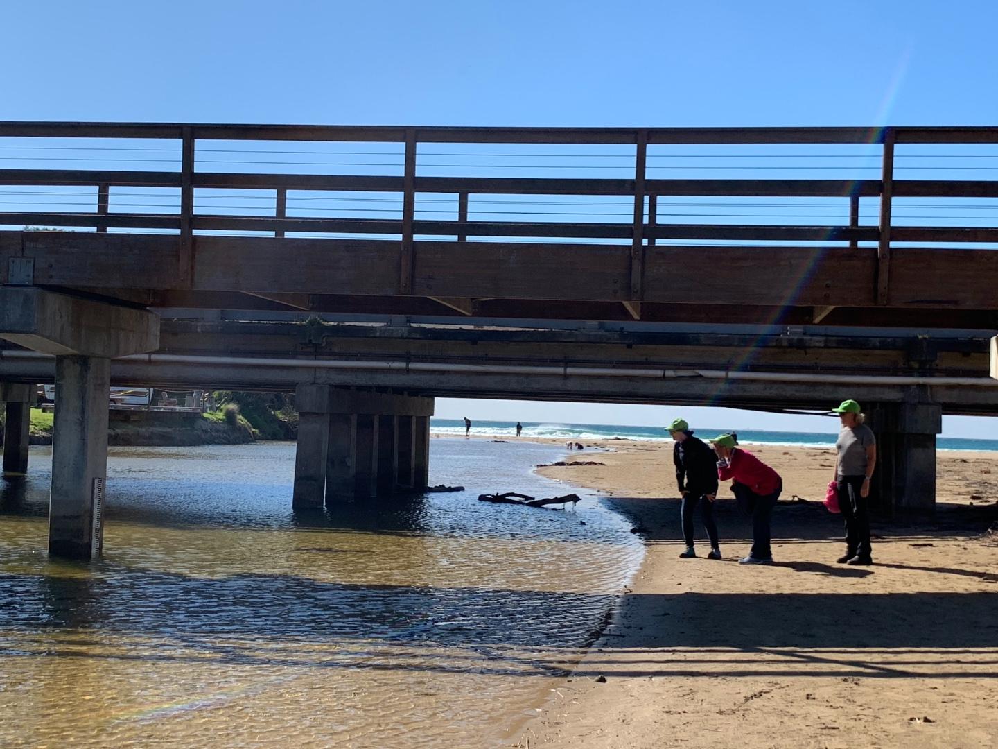
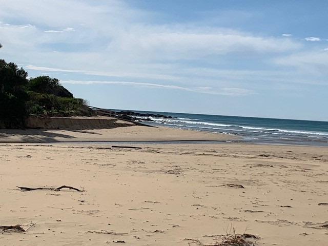
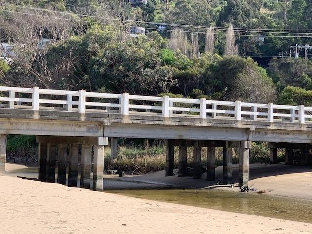
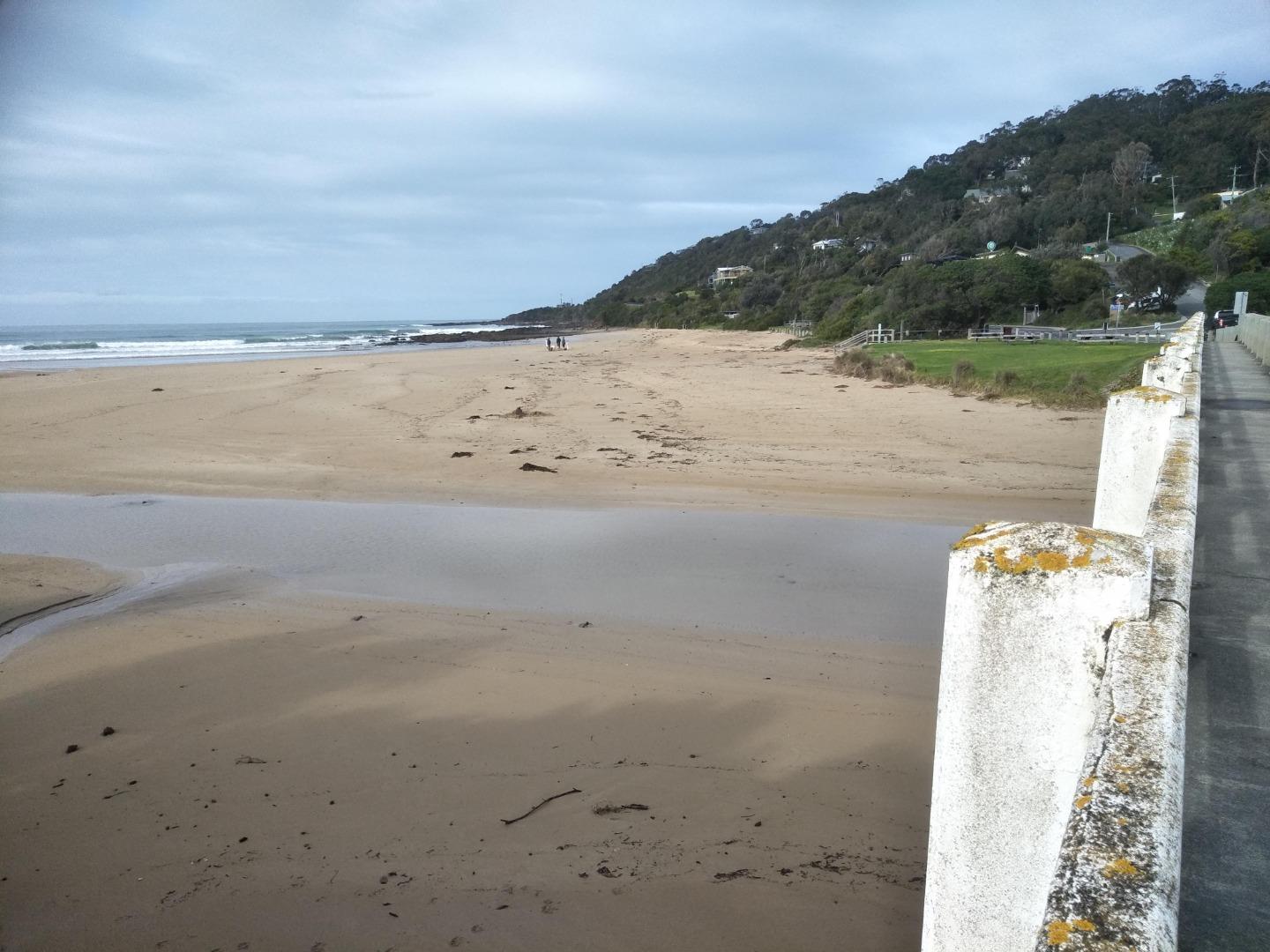
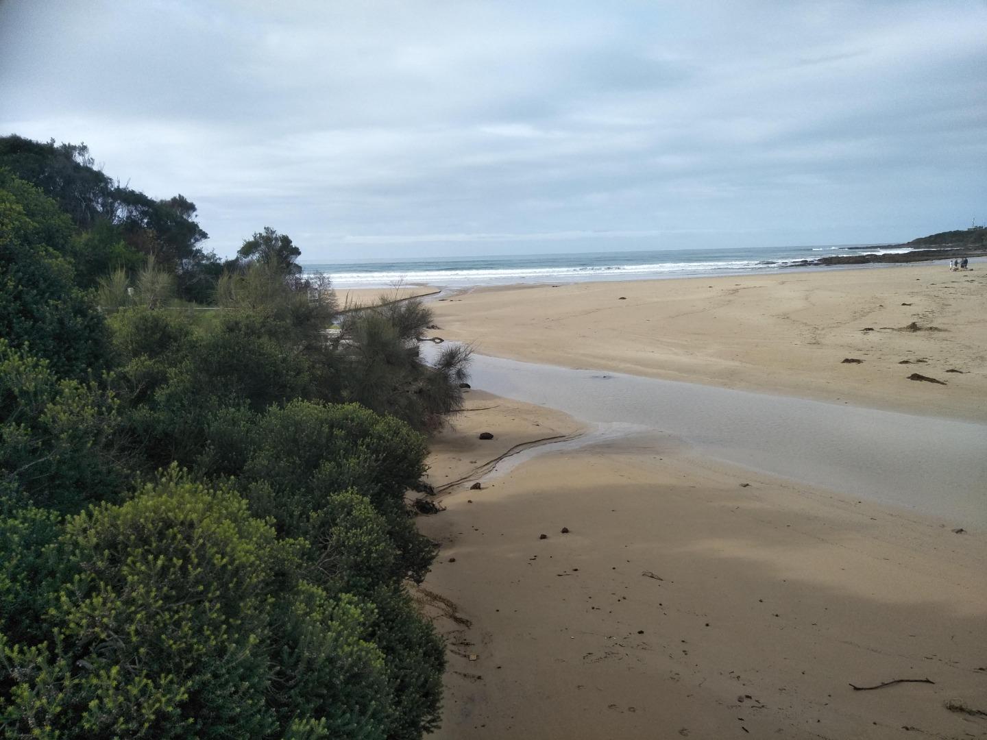
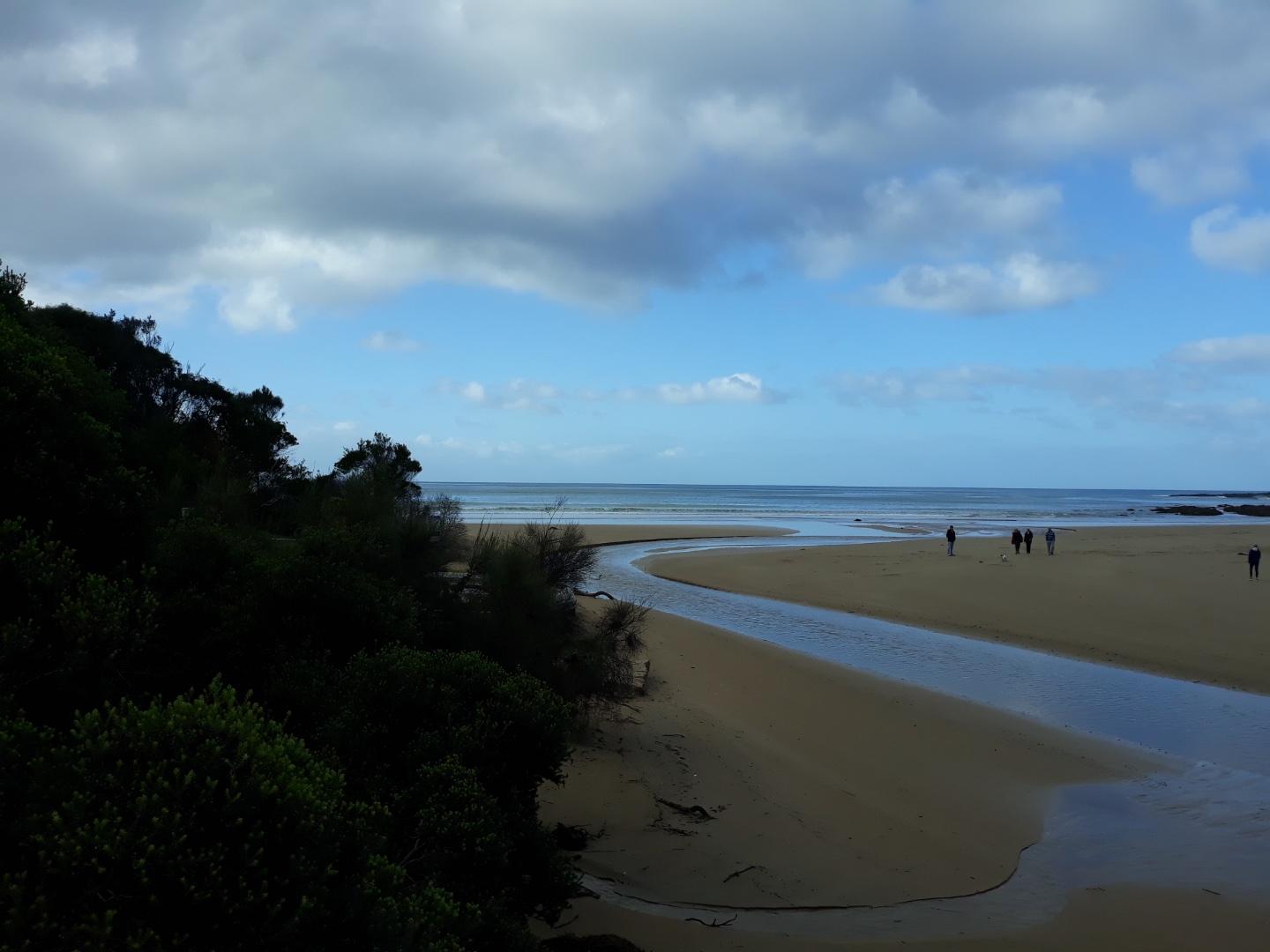
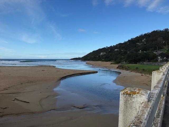
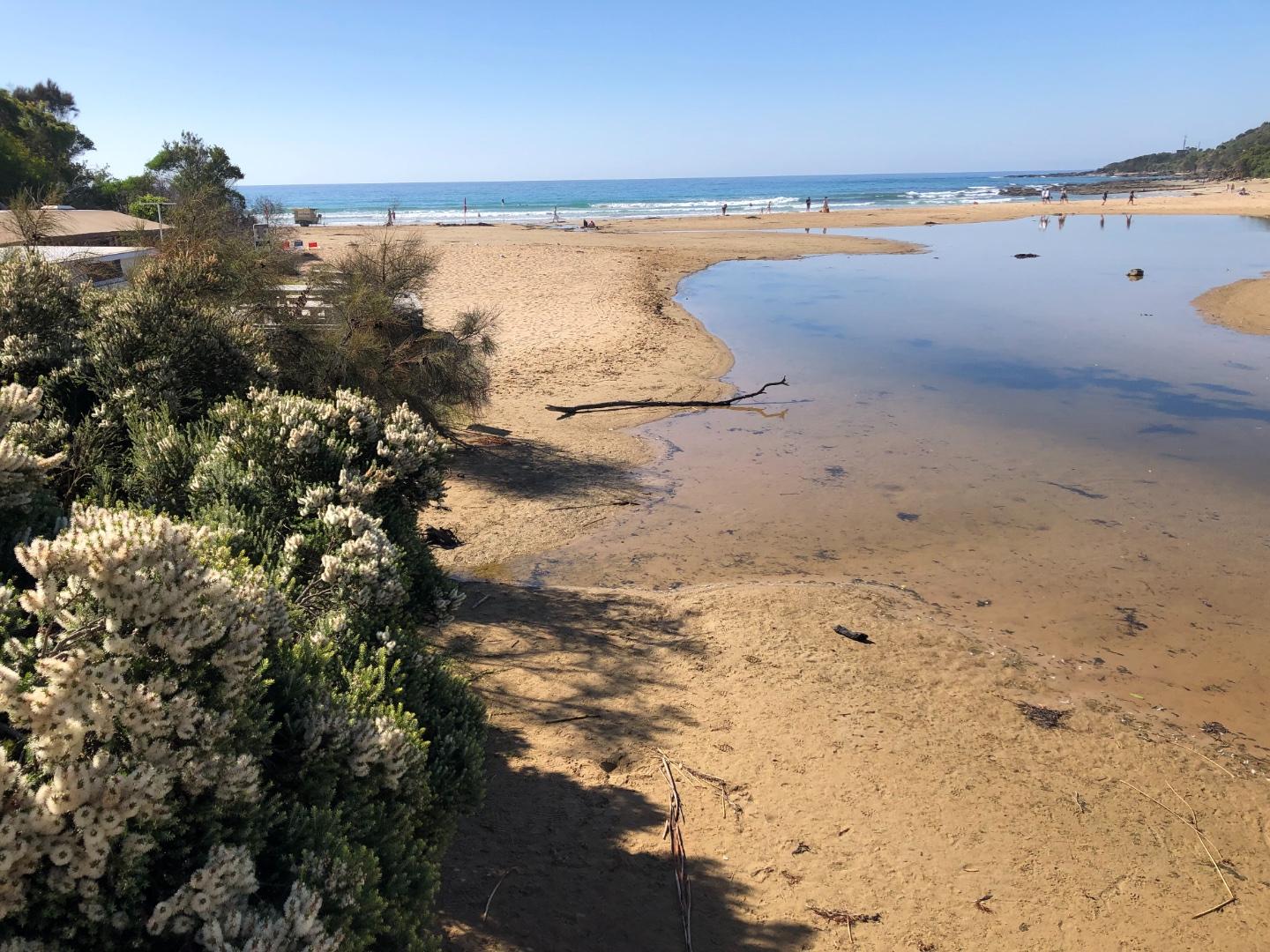
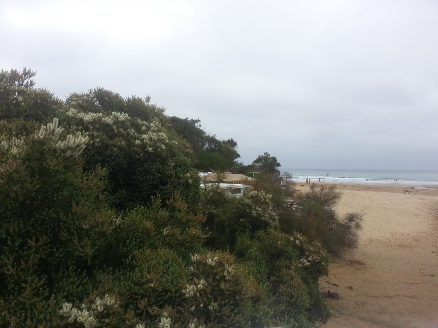
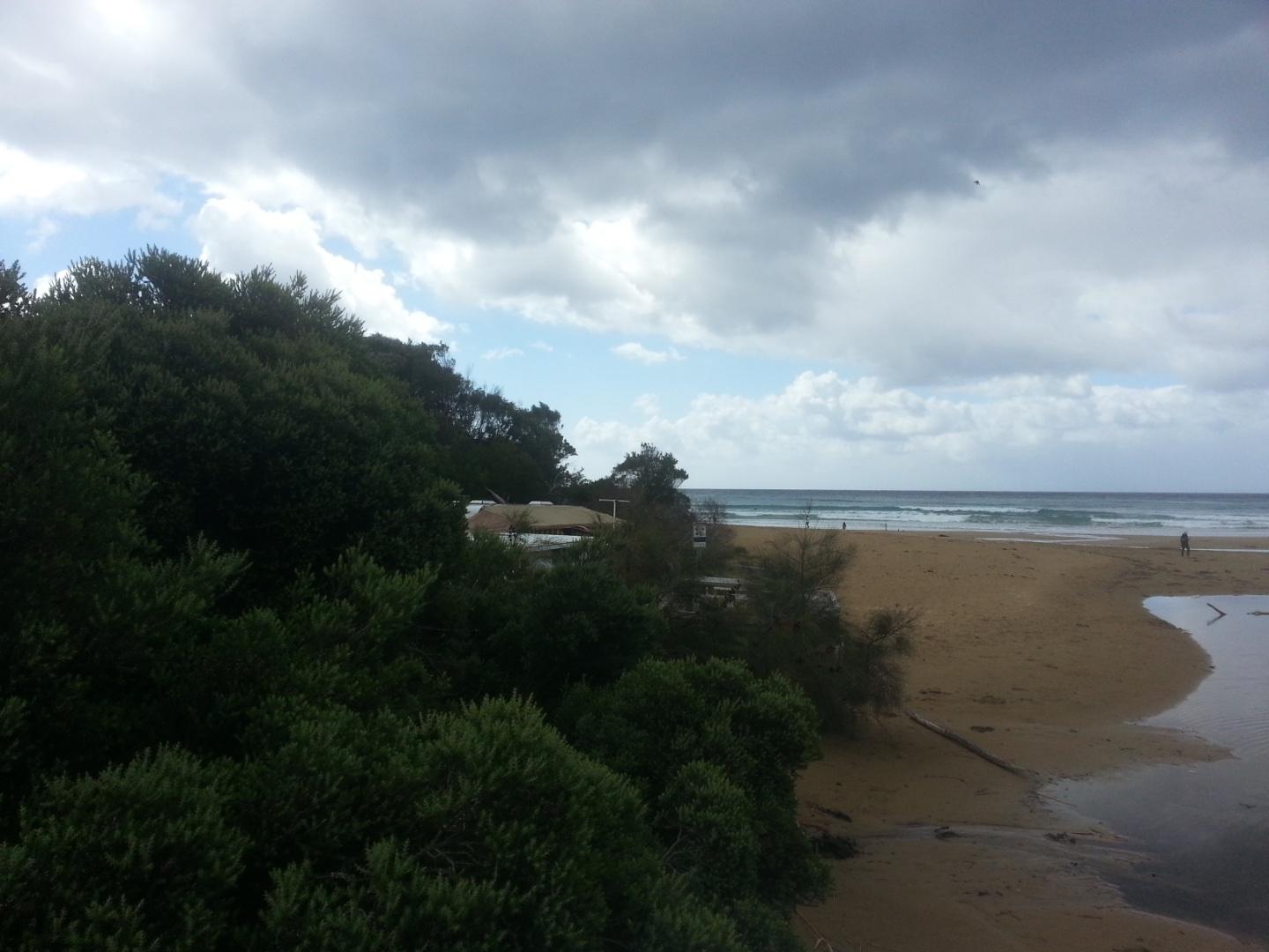
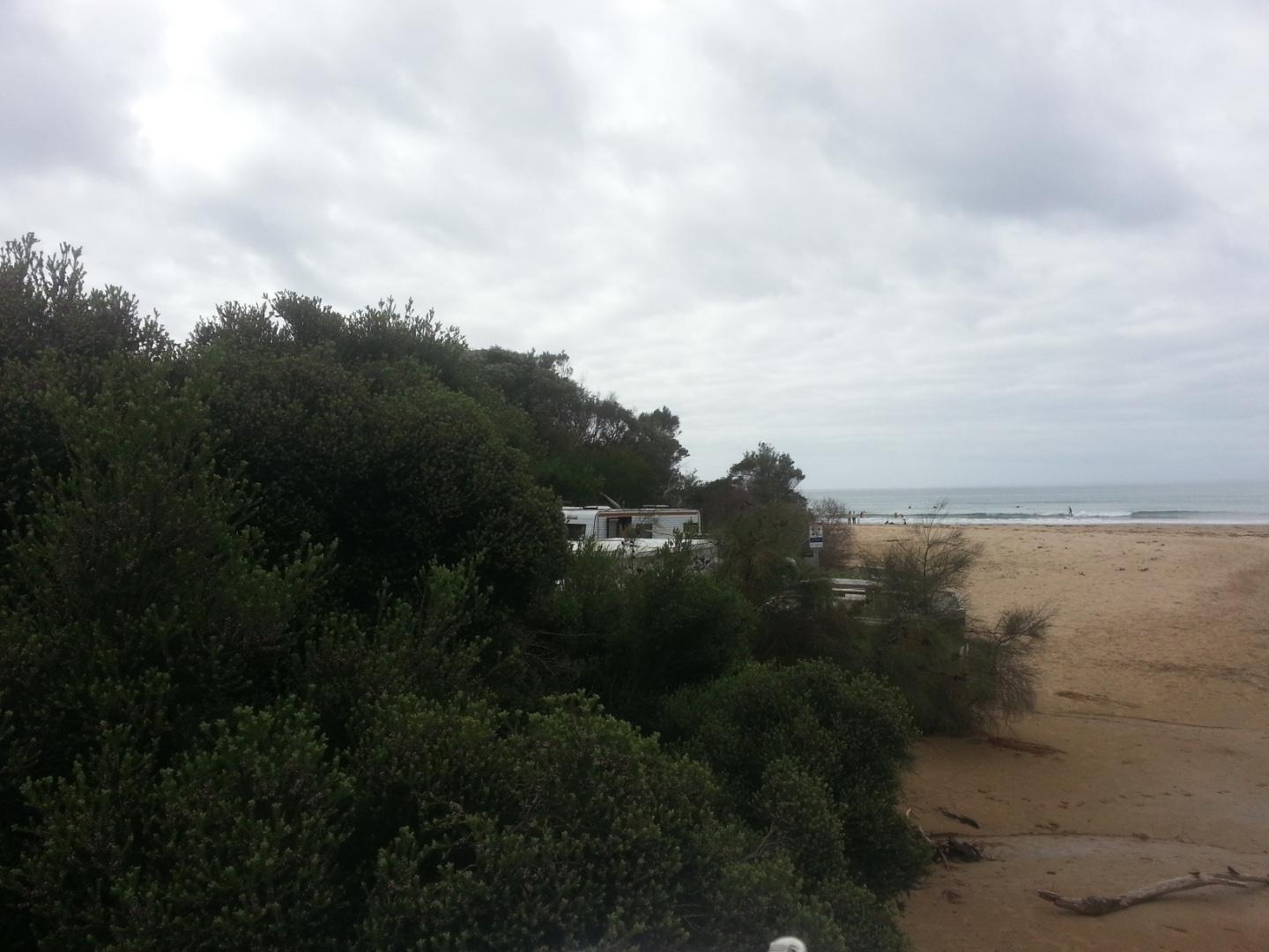
Wyp1 Wye River Photopoint 1Active Photopoint 02-12-2012 - 22-04-2024Photos are taken from the footpatth on the ocean side of the Great Ocean Bridge between the second and third post counting from the eastern end of the bridge. |
Photos 532 |
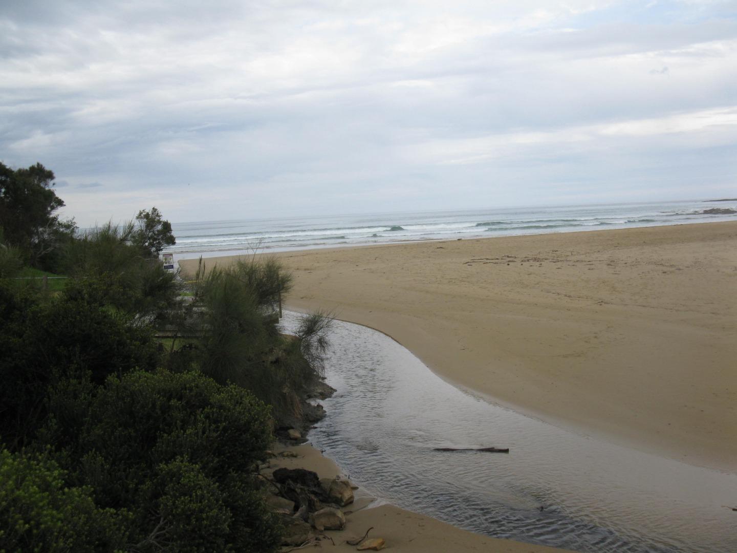
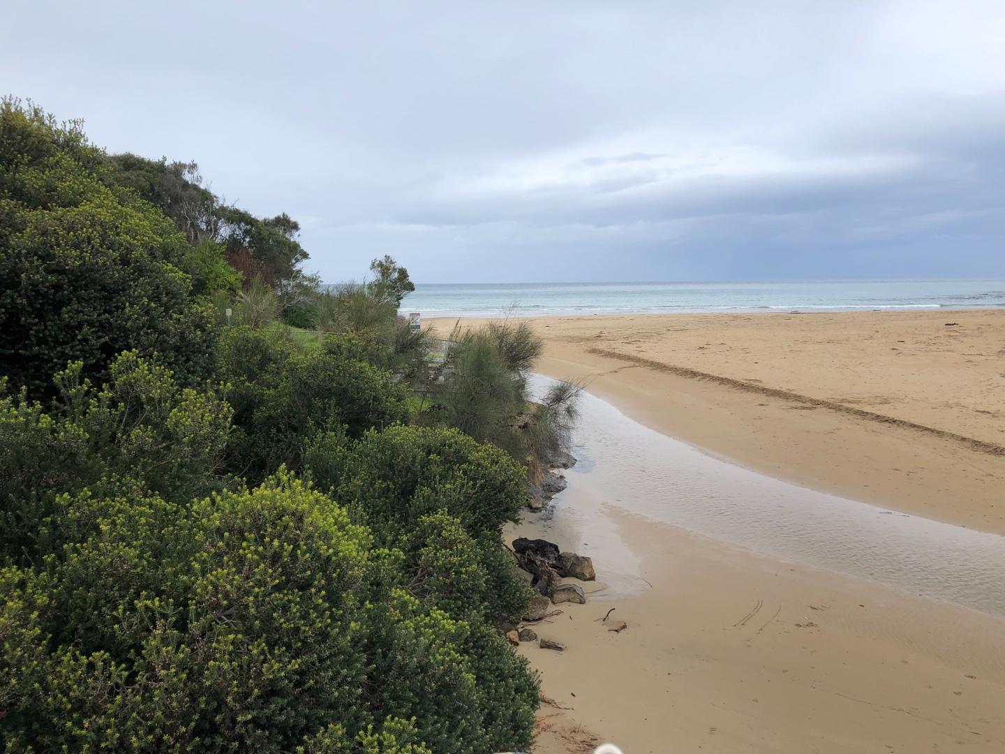
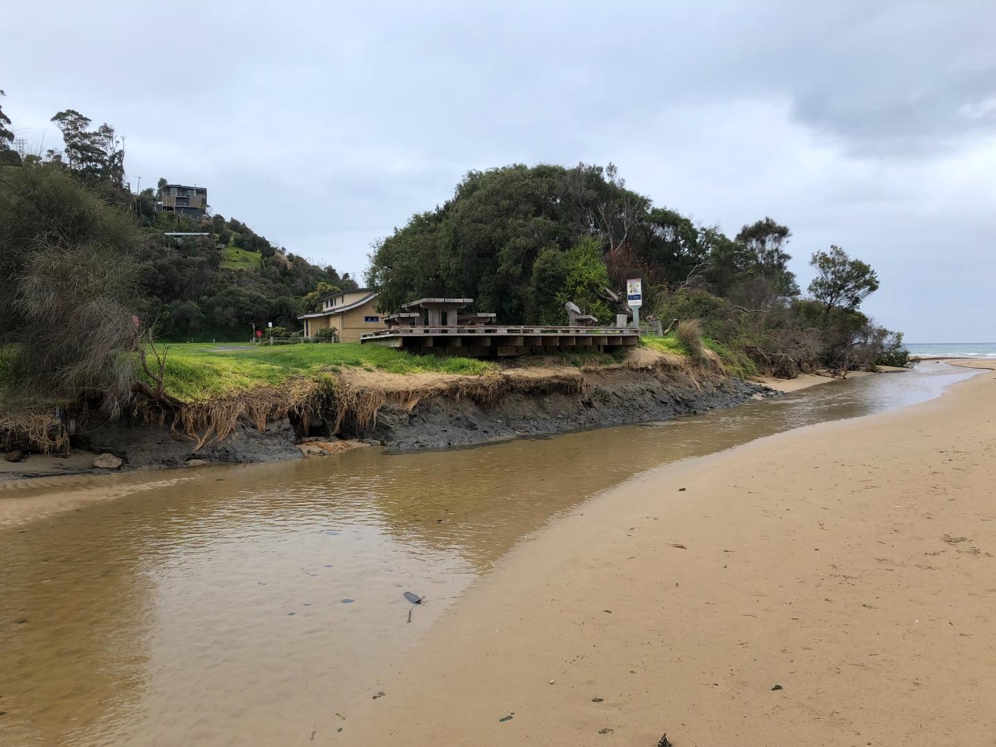
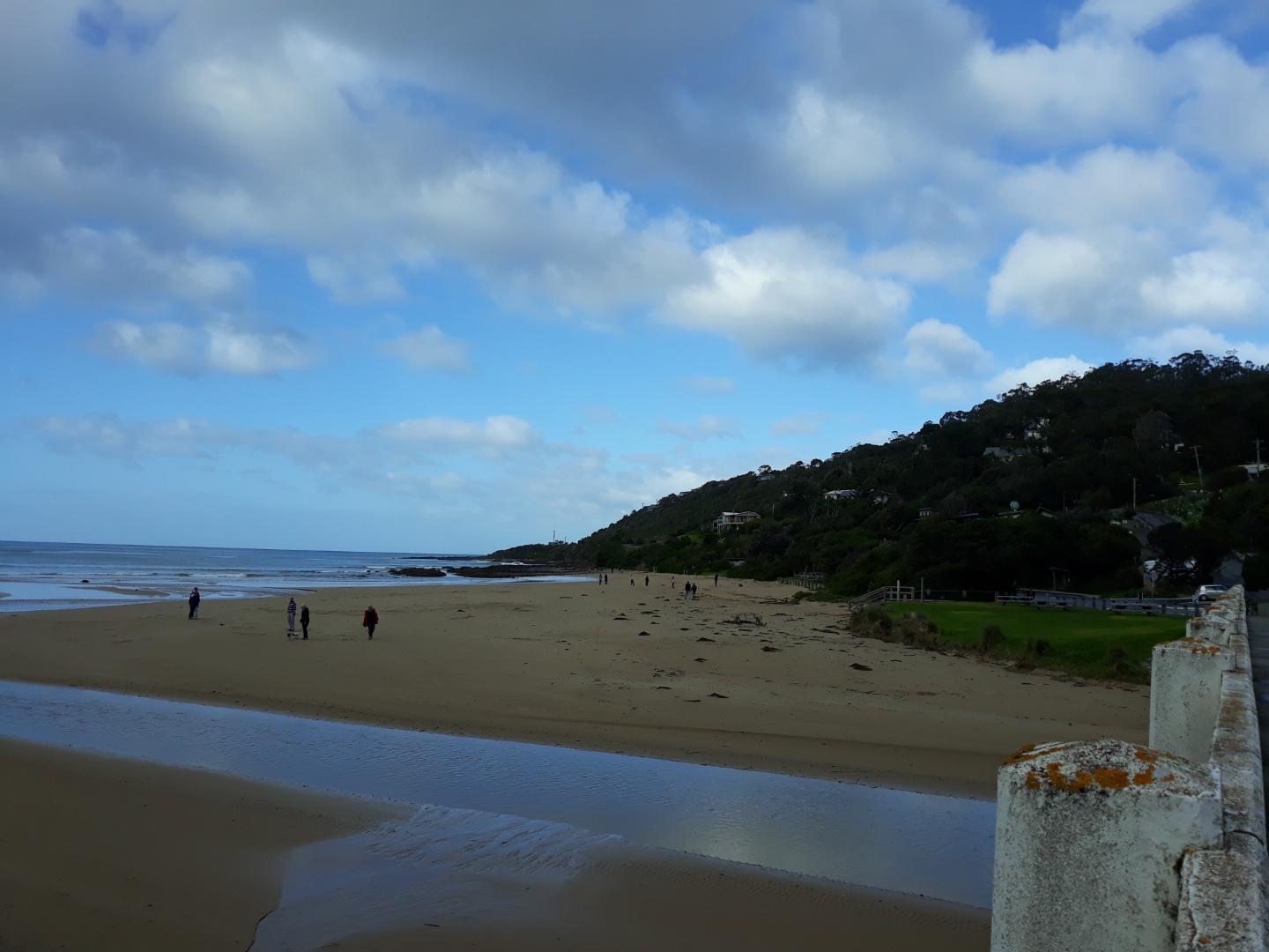
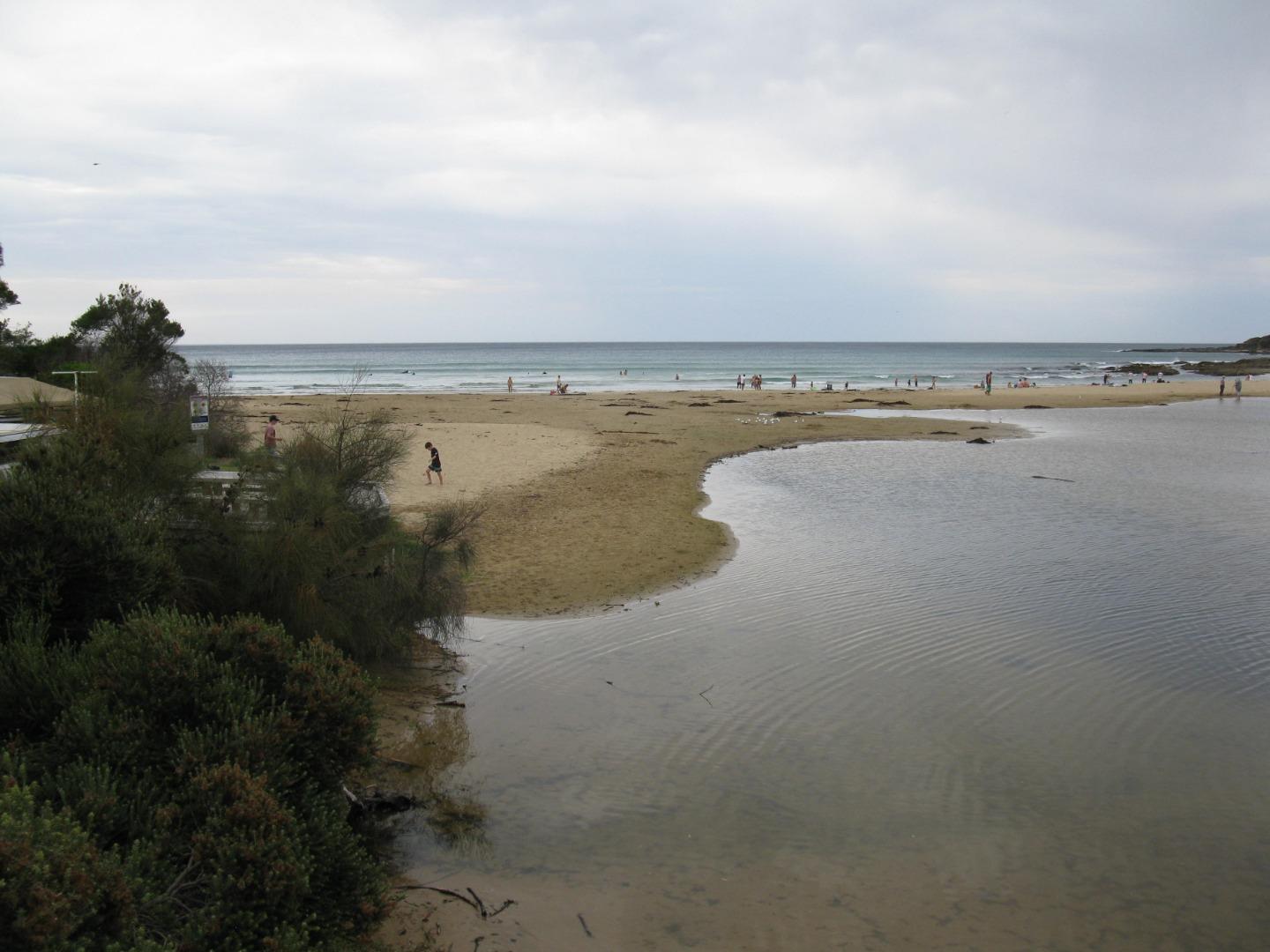
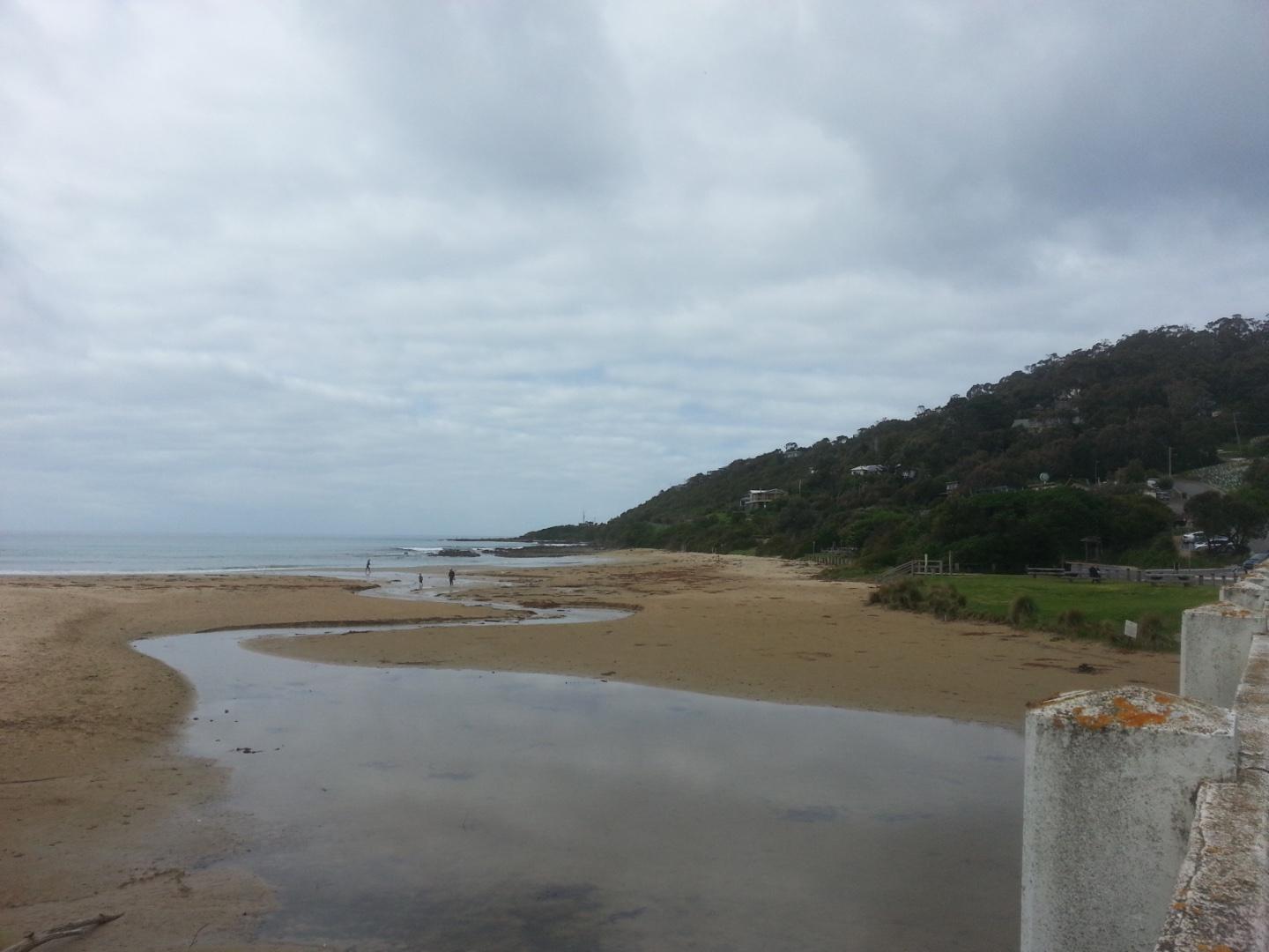
Wyp2 Wye River Photopoint 2Active Photopoint 23-02-2021 - 13-04-2024Walk to the south eastern end of the Great Ocean Bridge ie beach entrance end on the ocean side of the road bridge. Look for pencil markings on the top rail between 4th and 5th posts |
Photos 185 |
Estuary Snapshots
The EstuaryWatch snapshots provide a summary of estuary condition on a particular day. For all EstuaryWatch Snapshots, photopoint photos and a longitudinal water quality profile from the estuary mouth to the inland extent is displayed. Read more
Autumn 2019
Summer 2019
Spring 2018
Reload with full and partial snapshots to include snapshots that did not record every site on the same day.
Mouth Condition Snapshots
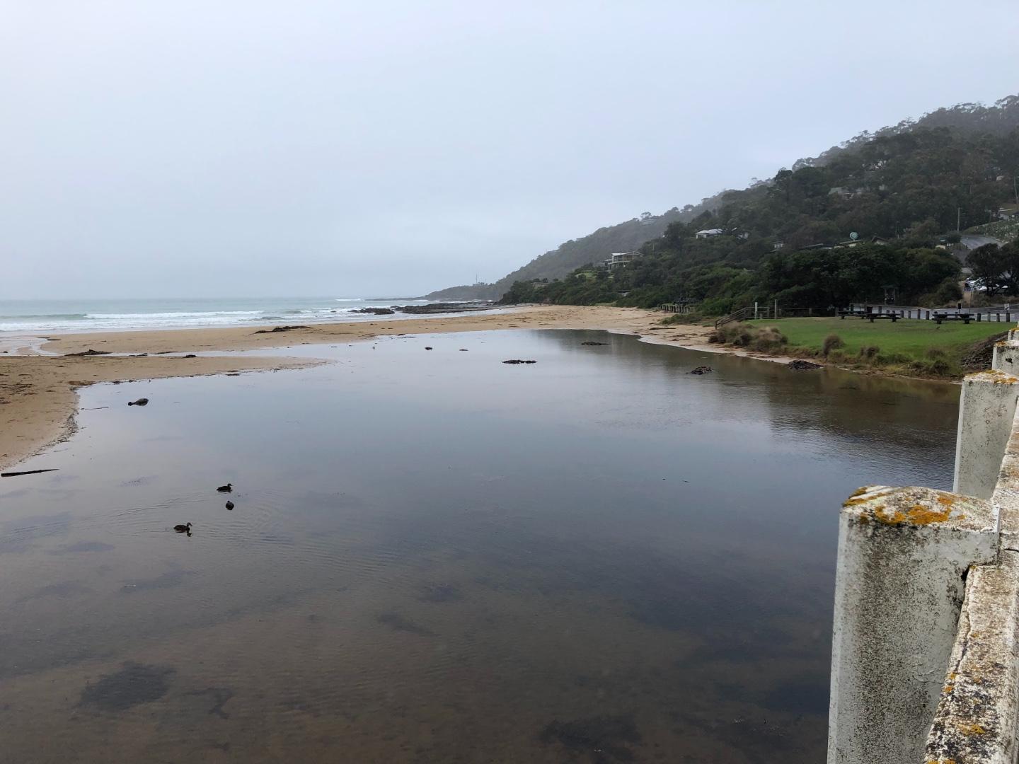
06-10-2019 #13353
Photopoint Wyp1-1
15-09-2019 #13322
Photopoint Wyp1-1
Photopoint -
01-09-2019 #13303
Photopoint Wyp1-1
18-08-2019 #13252

04-08-2019 #13240
Photopoint Wyp1-2
21-07-2019 #13212
Photopoint Wyp1-1
07-07-2019 #13188
Photopoint Wyp1-1
16-06-2019 #13127
Photopoint Wyp1-2
02-06-2019 #13112
Photopoint Wyp1-1
19-05-2019 #13087
05-05-2019 #12902
Photopoint Wyp1-1
21-04-2019 #12867
Photopoint Wyp1-1
31-03-2019 #12799
Photopoint Wyp1-1
17-03-2019 #12771
Photopoint Wyp1-1
03-03-2019 #12754
Photopoint Wyp1-1
17-02-2019 #12703

03-02-2019 #12695
Photopoint Wyp1-1
20-01-2019 #12663
Photopoint Wyp1-1
06-01-2019 #12629
16-12-2018 #12599
Photopoint Wyp1-1
02-12-2018 #12566
Photopoint Wyp1-1
Photopoint -
18-11-2018 #12611

04-11-2018 #12530
21-10-2018 #12457
Photopoint Wyp1-1

All content, files, data and images provided by the EstuaryWatch Data Portal and Gallery are subject to a Creative Commons Attribution License
Content is made available to be used in any way, and should always attribute EstuaryWatch and www.estuarywatch.org.au