EstuaryWatch Data Portal
PMC Painkalac Creek Observation Site
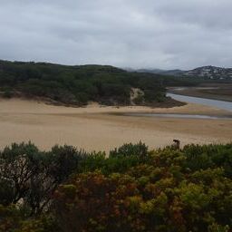
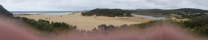
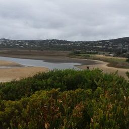
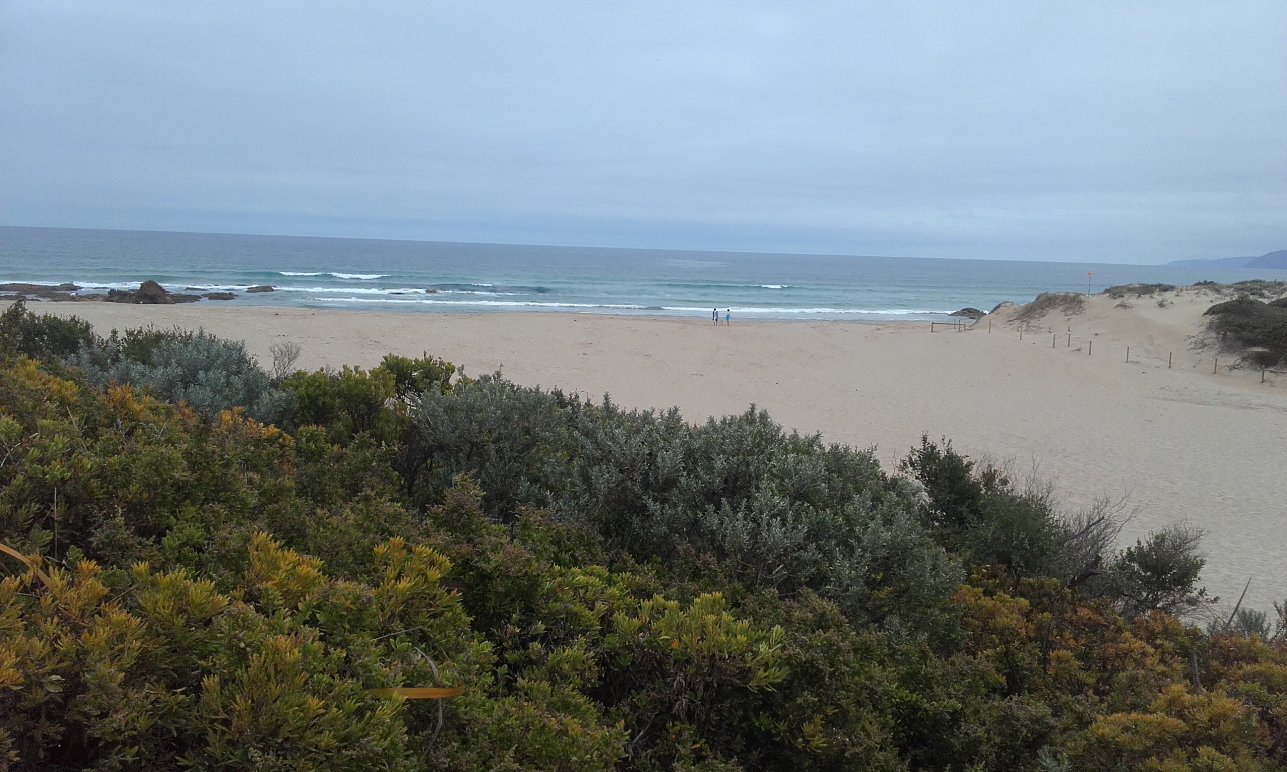
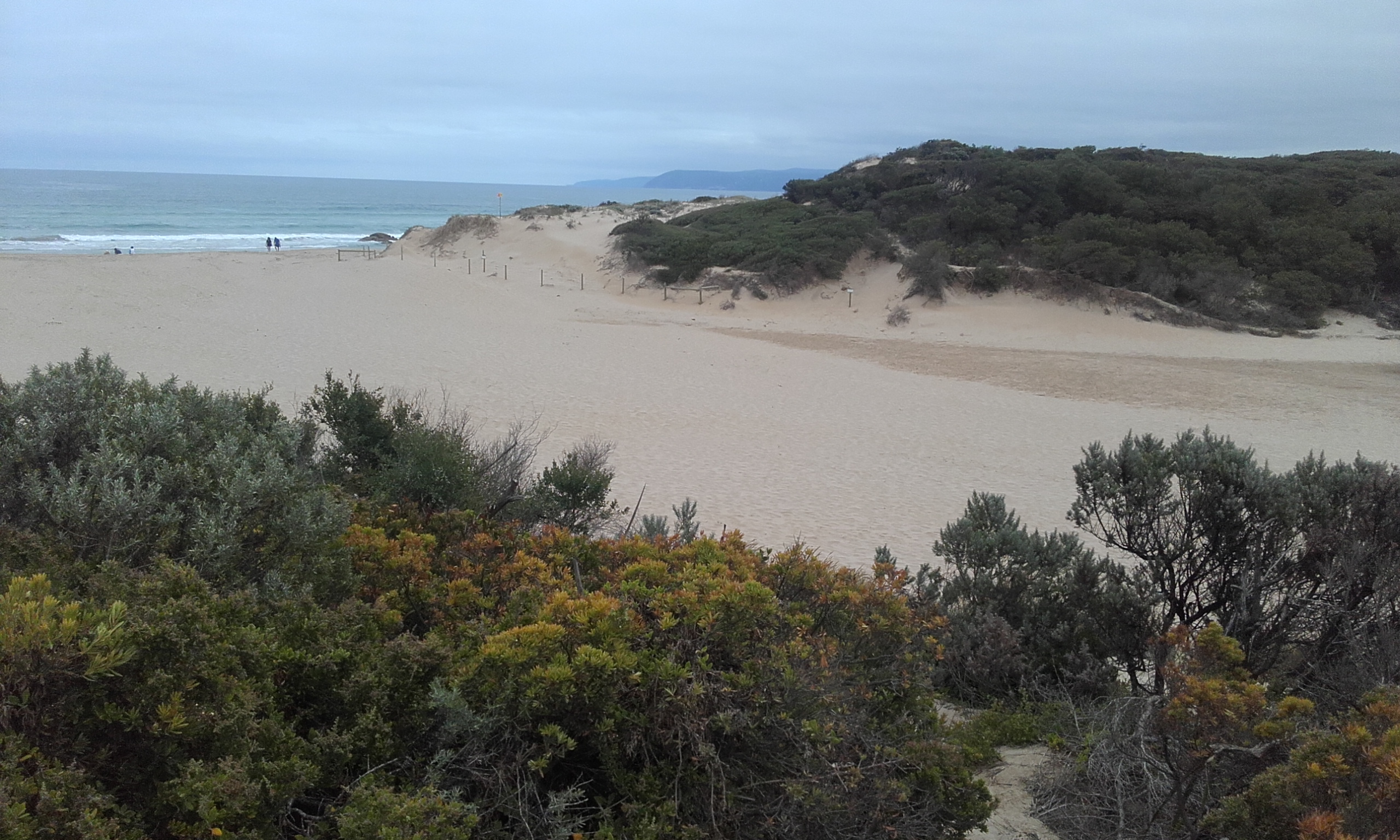
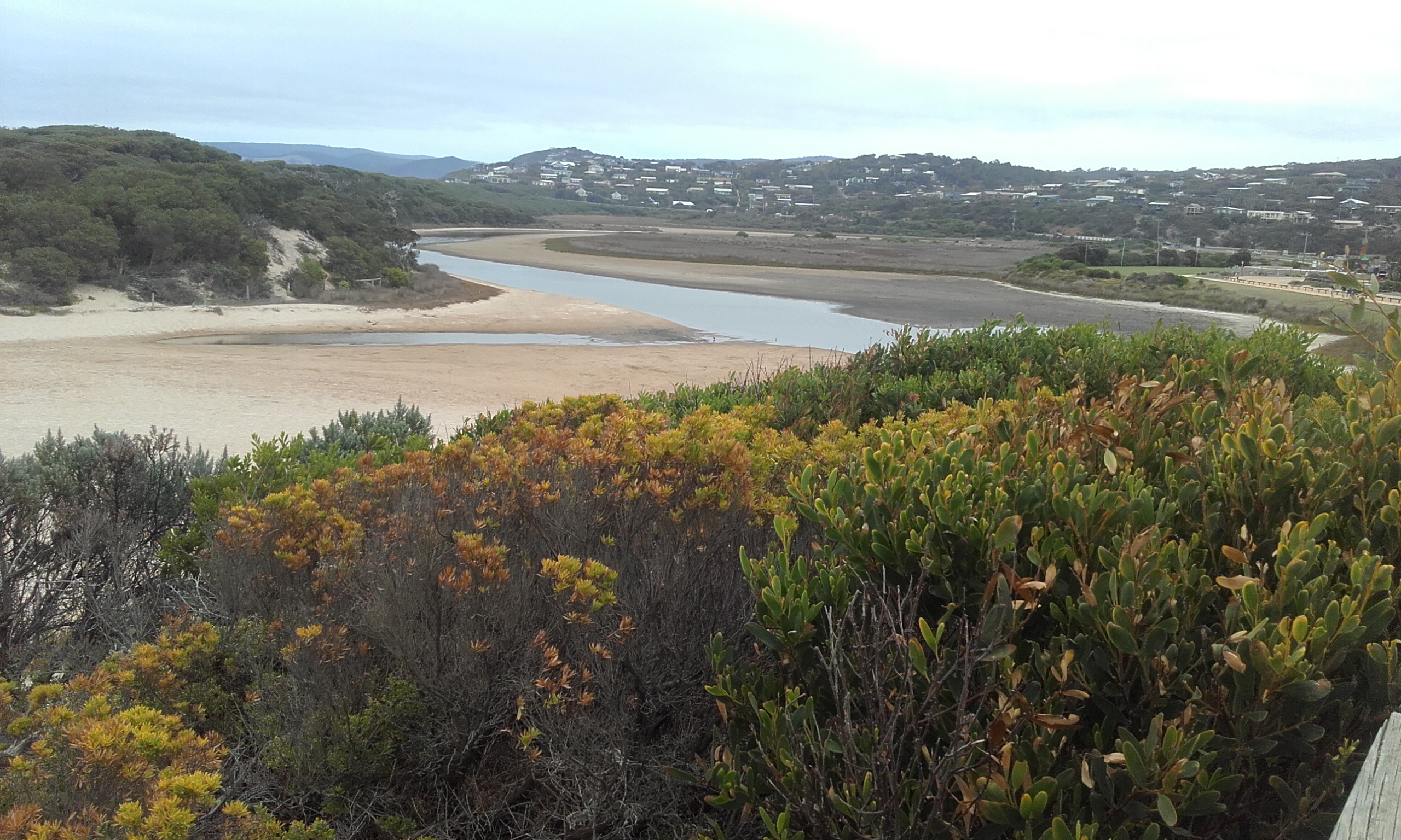
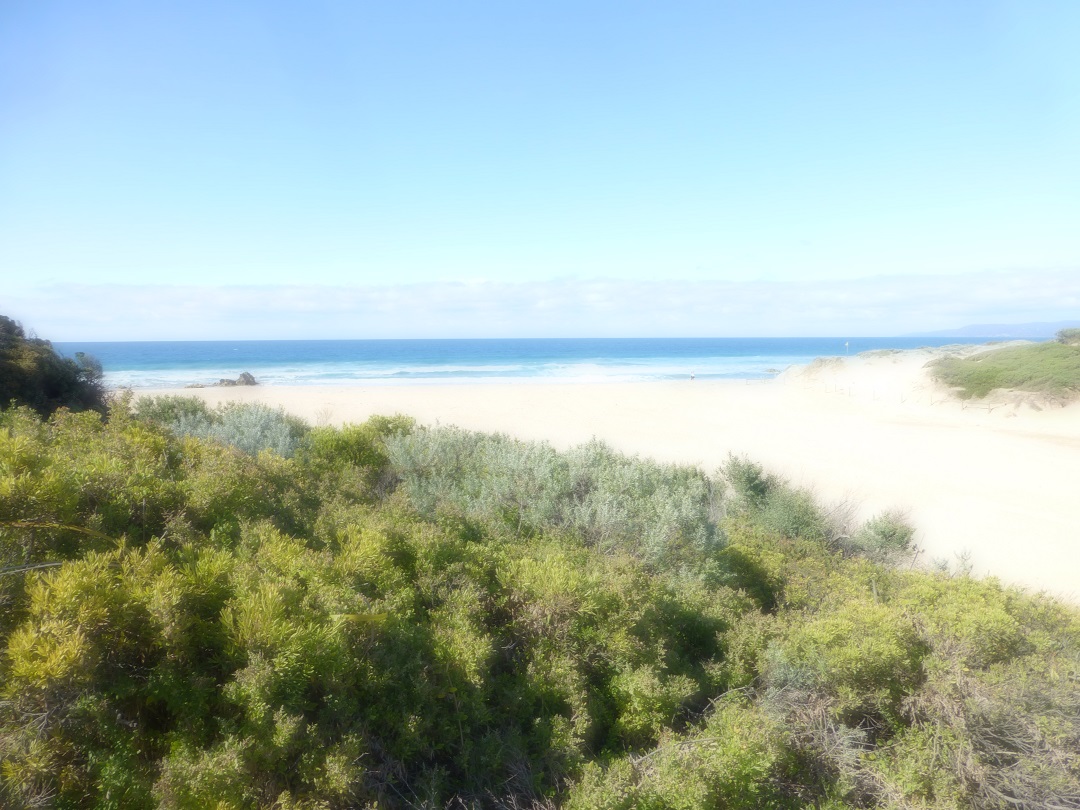
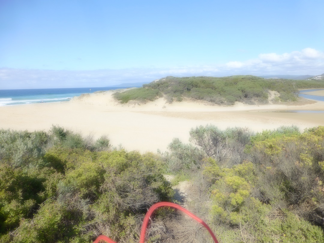
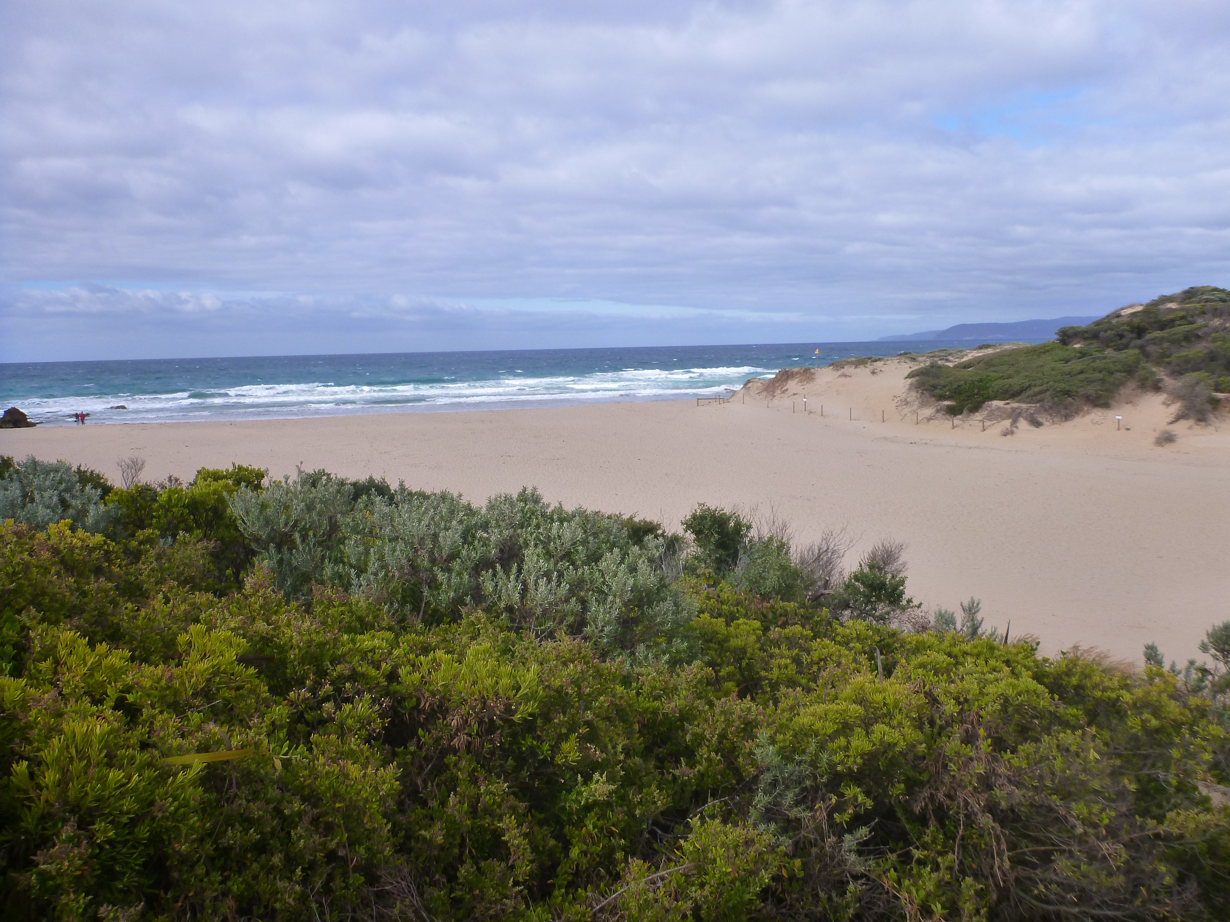
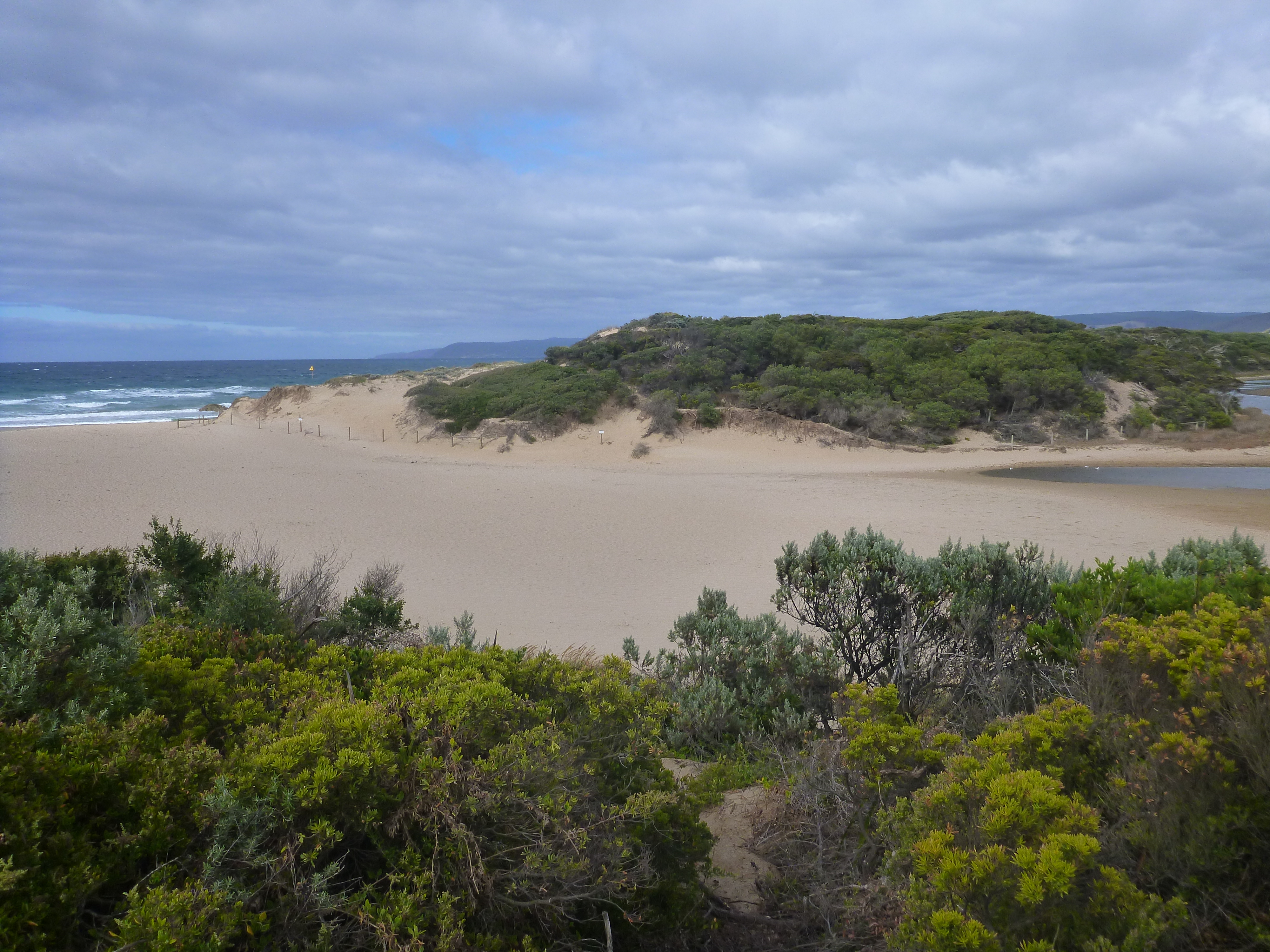
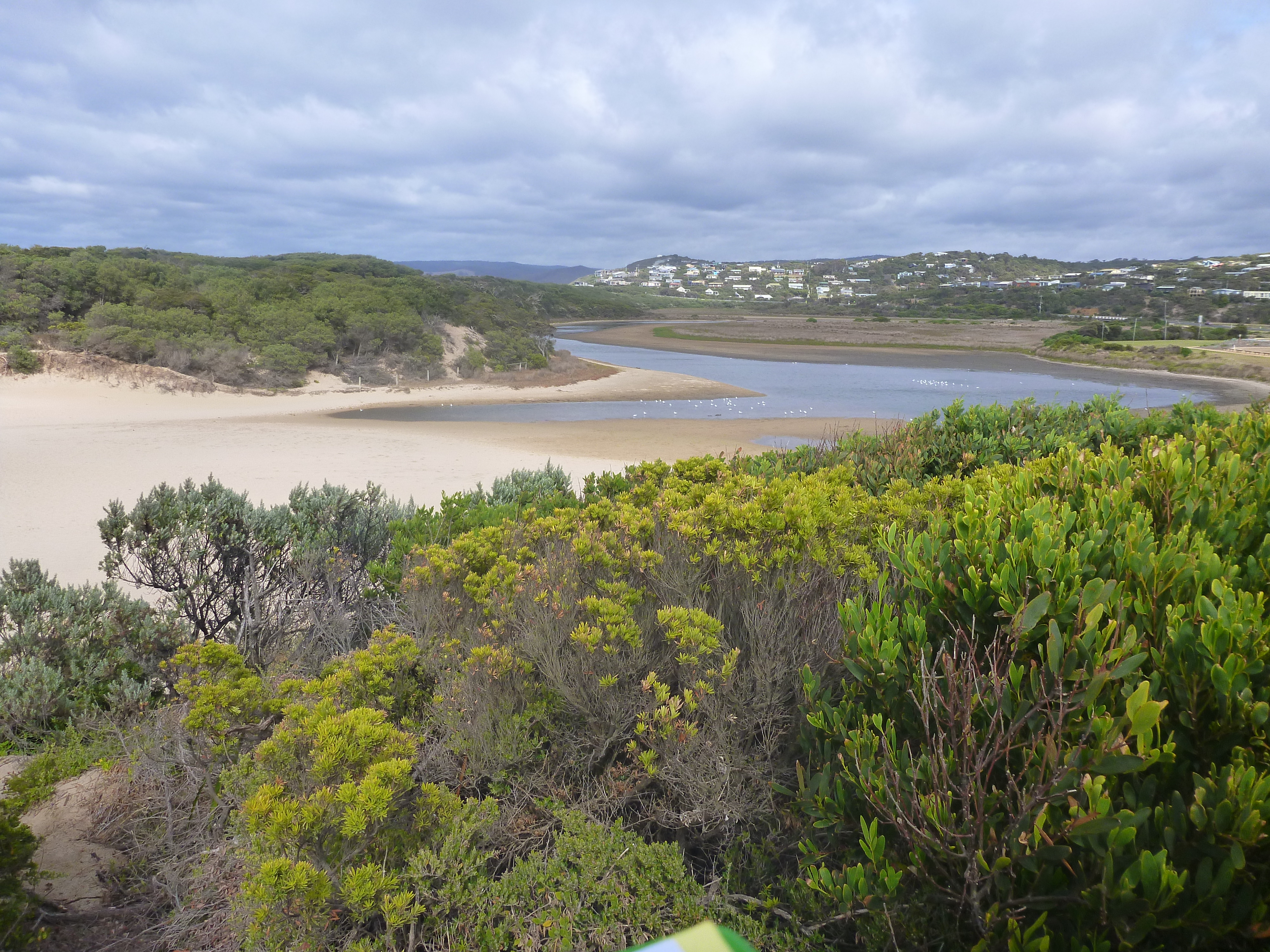
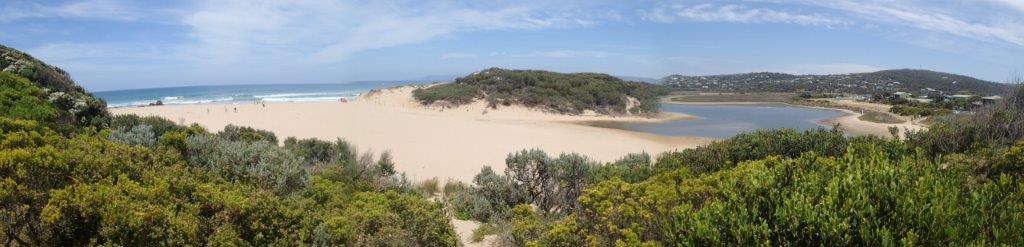
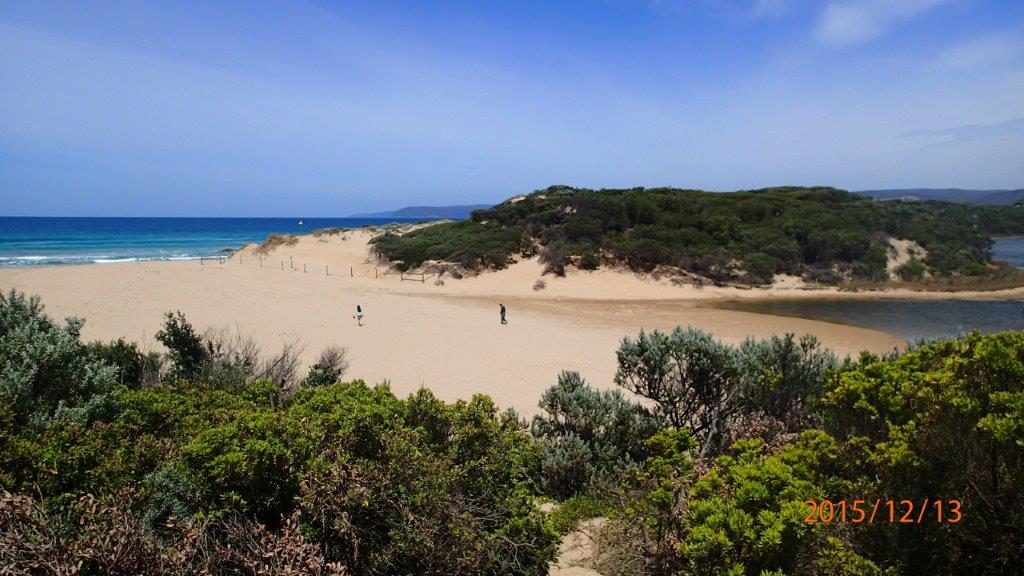
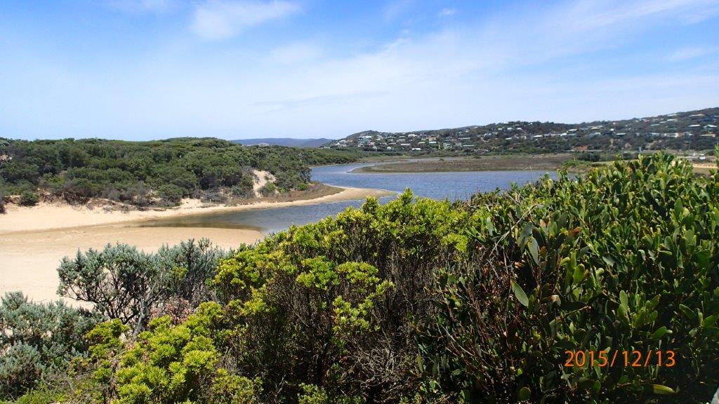
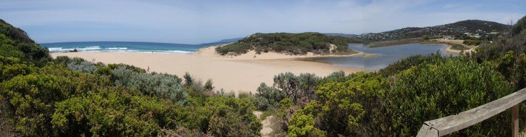
Active Mouth Condition 23-05-2007 - 11-03-2024Painkalac Creek Estuary
272 results found (Displaying 91 - 100)
| ID | Date | Status | Details | |
|---|---|---|---|---|
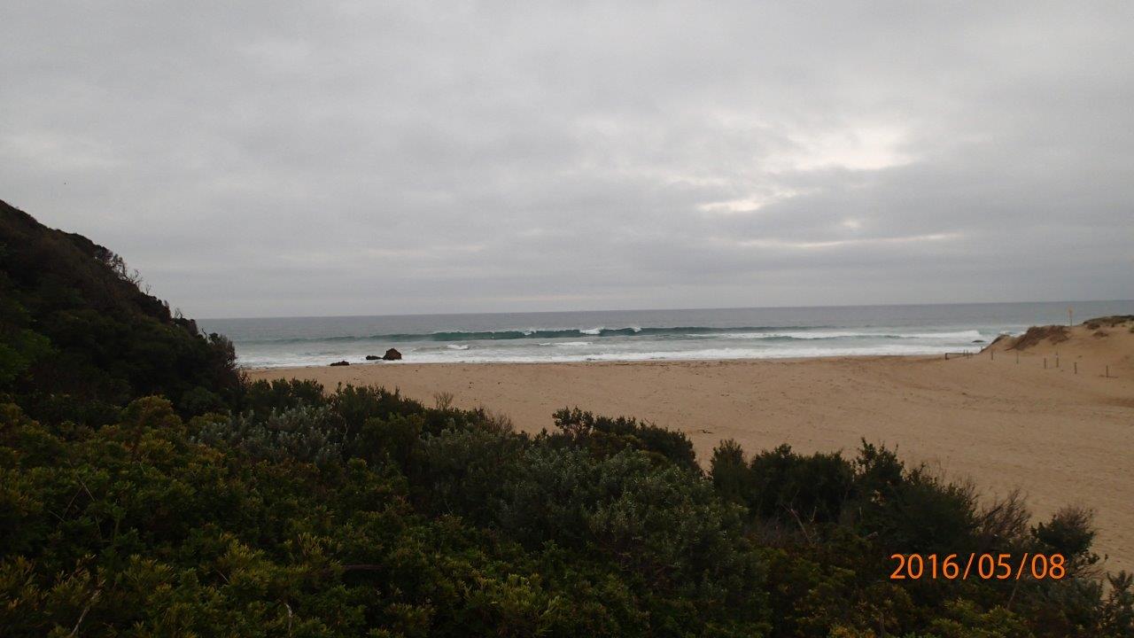
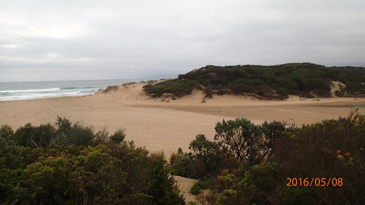
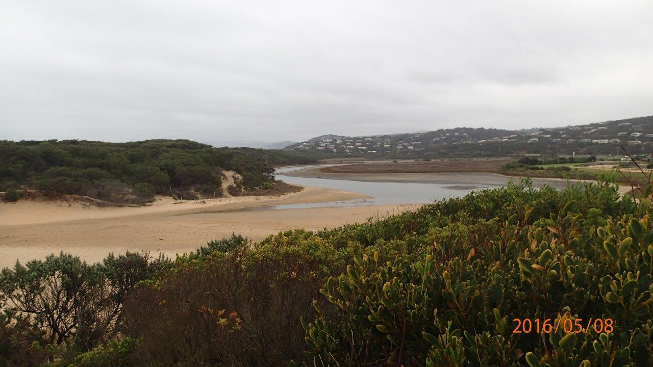
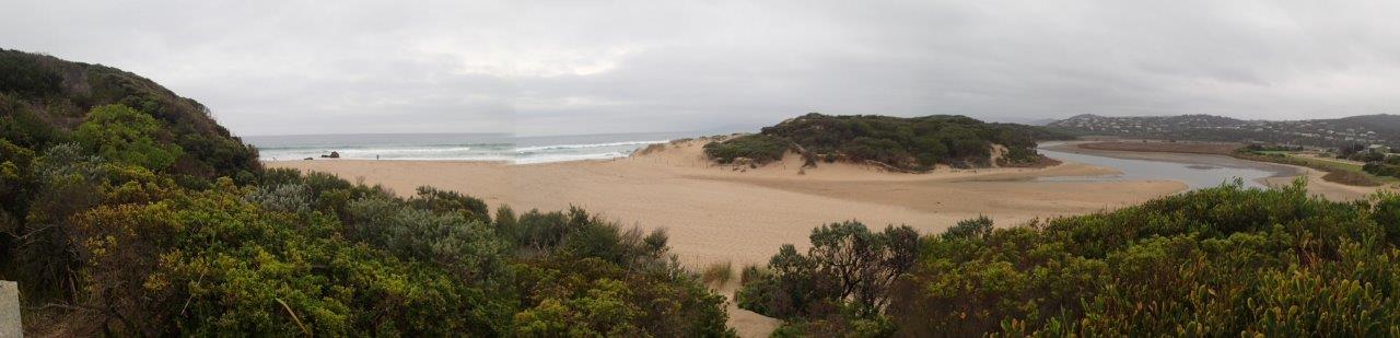
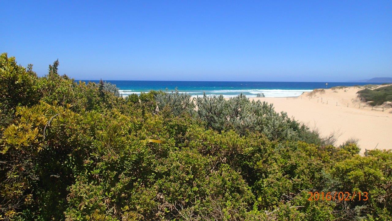
| #10294 | 8 May 2016 | Approved | Notes: Berm was not measured. You will see from photos that we cannot visualize the berm pole across the expanse of sand between the upper swash limits of estuary, and sea. | |
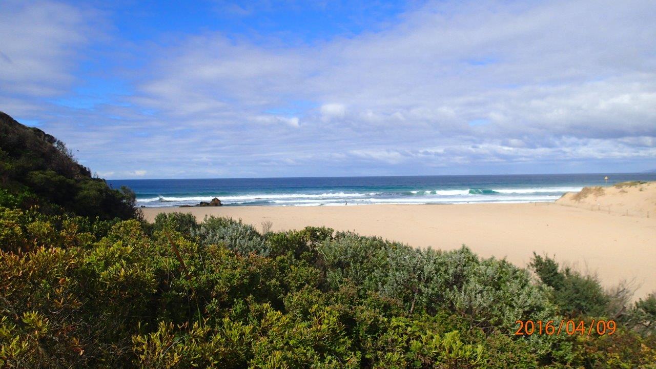
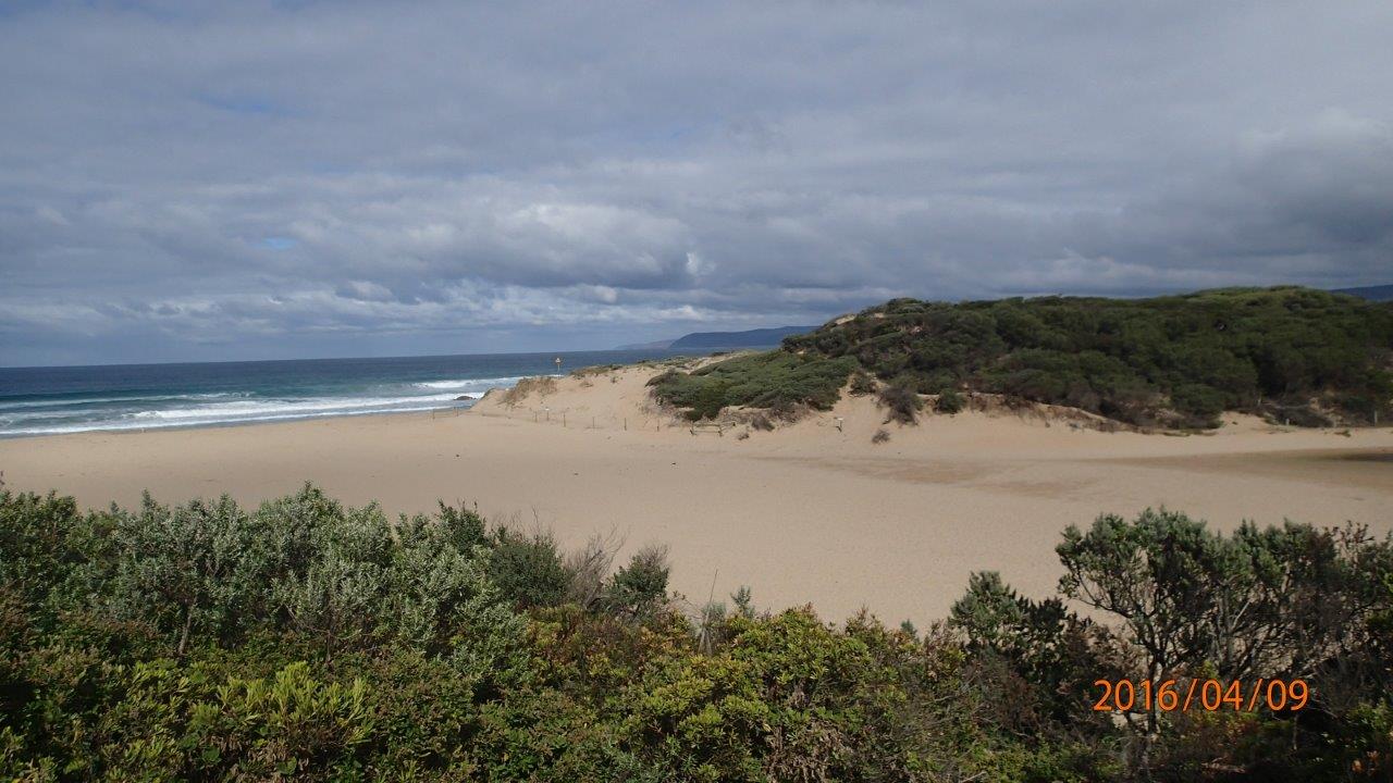
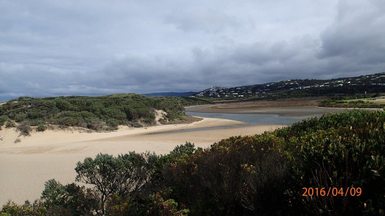
| #10245 | 9 Apr 2016 | Approved |
Notes:
Distance paced (by Graeme) from estuary to sea was 151m. Berm does not appear to be as high as on previous occasions, noting that it was near high tide, but still too high to measure with pole. |
|
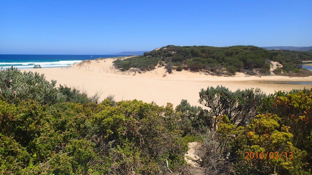
| #10197 | 14 Mar 2016 | Approved | Notes: Berm height not measured, as it far exceeded the extent of the berm pole. Distance measured between river and sea-180 m. | |
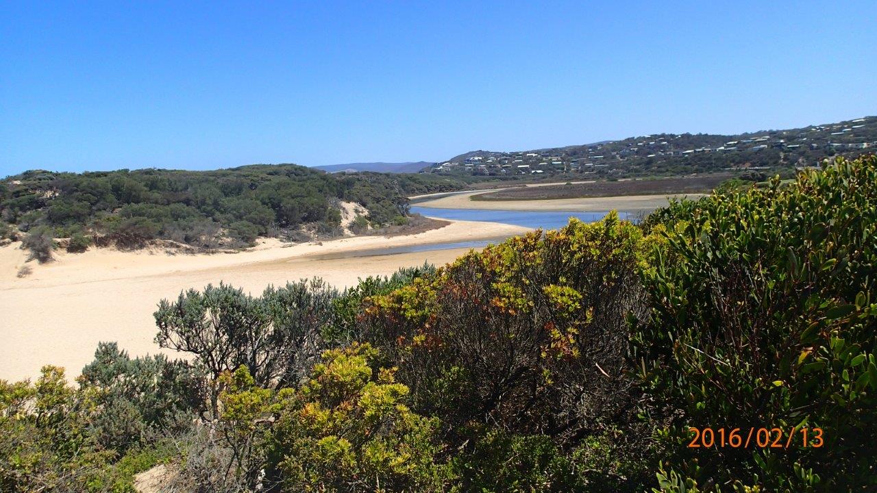
| #10184 | 6 Mar 2016 | Approved |
Notes:
Height of berm unable to be measured as horizon/sea could not be seen from estuary. Berm width - 140m |
|
| #10164 | 21 Feb 2016 | Approved |
Notes:
No measurement of Berm height taken as horizon could not be seen from estuary. Width of berm - 120m. |
|
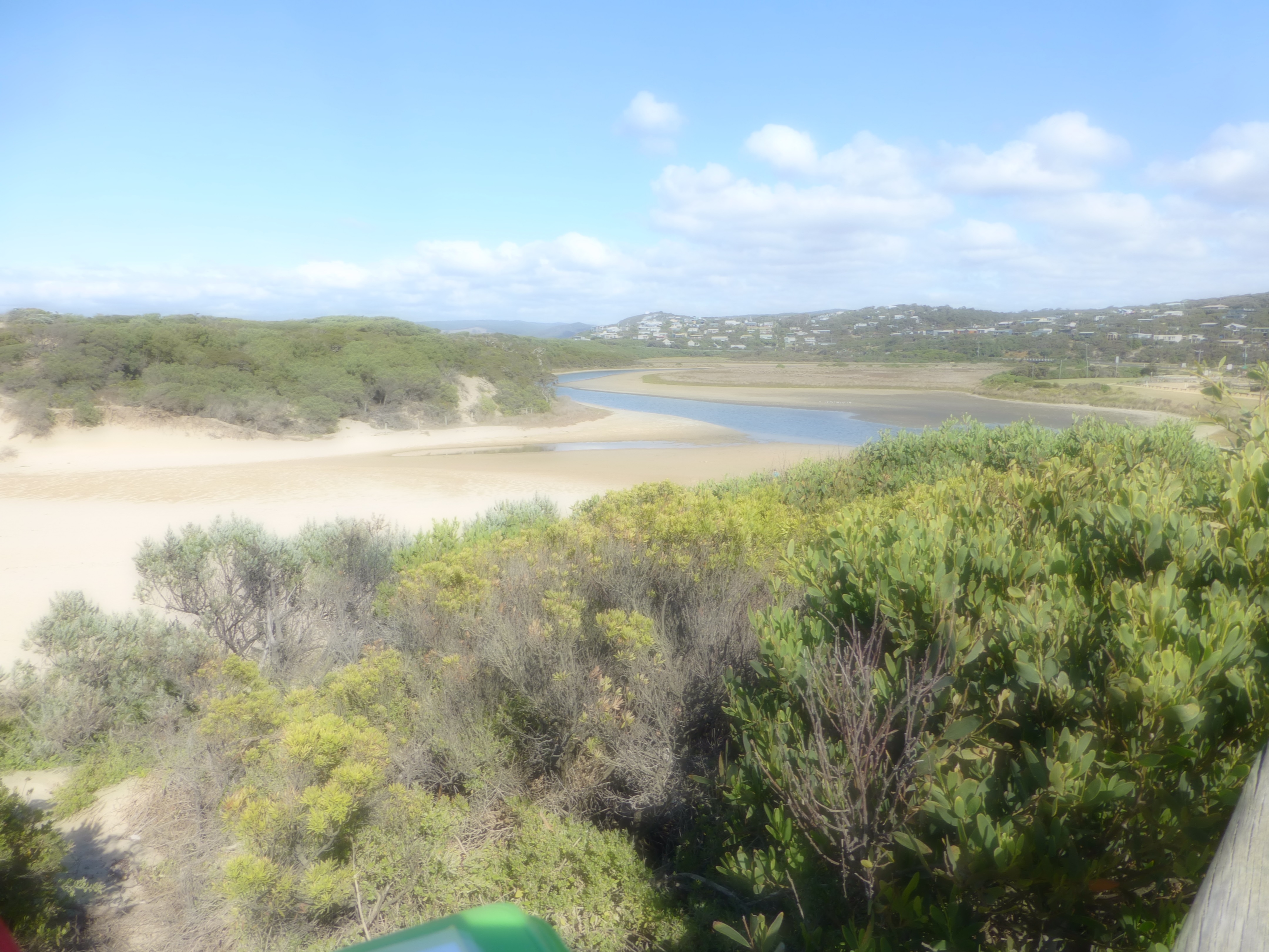
| #10142 | 13 Feb 2016 | Approved |
Notes:
Could not record berm height as far it exceeded the height of the berm pole. Distance across the berm 148 m. |
|
| #10101 | 25 Jan 2016 | Approved | Notes: Berm length was 140m. Berm height was above our height so unable to record height. | |
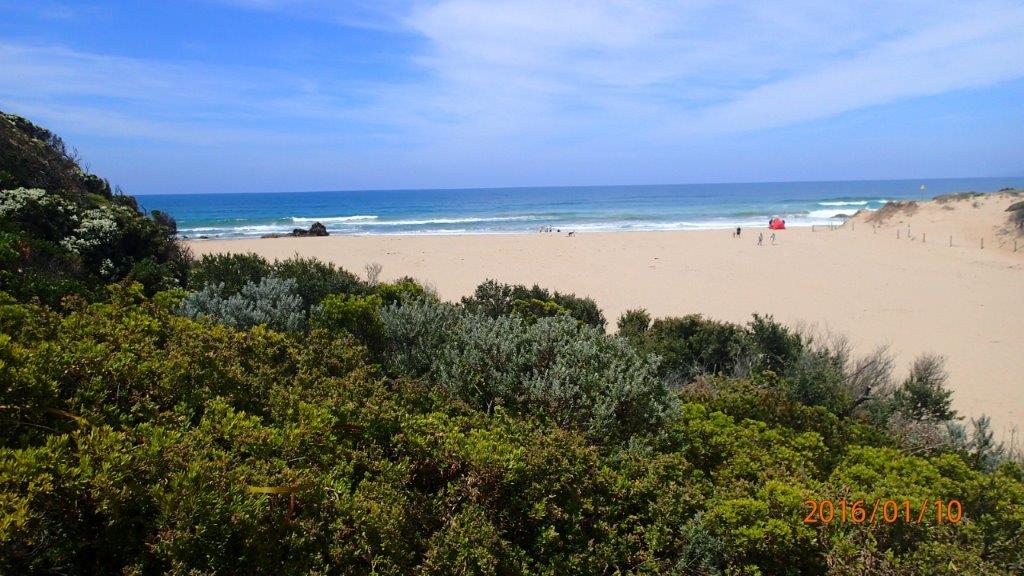
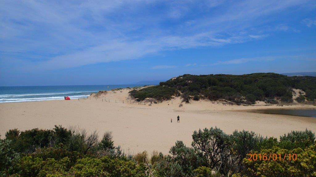
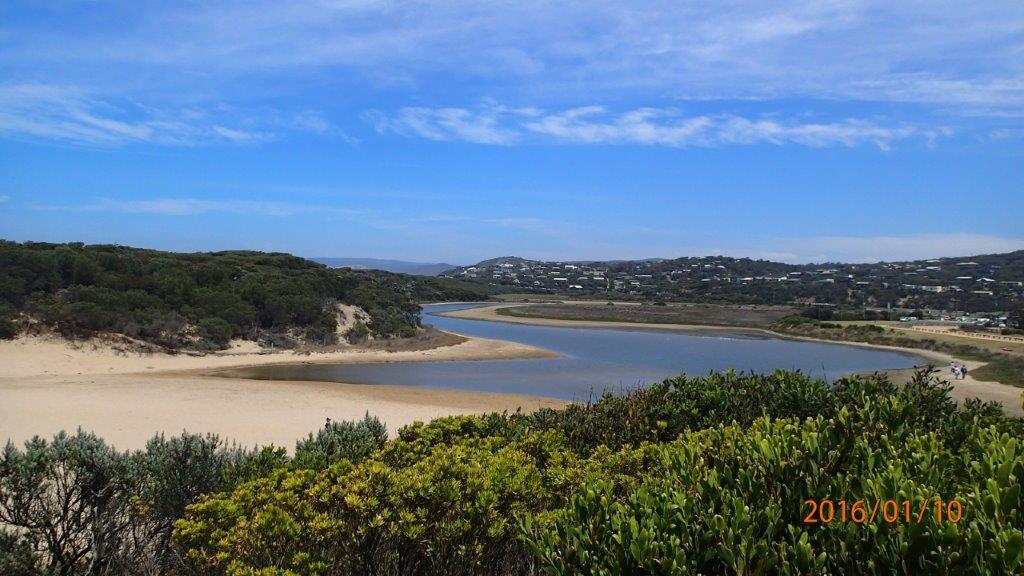
| #10071 | 10 Jan 2016 | Approved | Notes: Berm measurement was not obtained as berm height was too high to measure. From upper swash line on inlet side could not see ocean/horizon over berm. Had to take several strides towards ocean before it became visible over berm. | |
| #9998 | 13 Dec 2015 | Approved | Notes: Tide times and wind direction taken from Willy weather website. Berm length 110m. | |
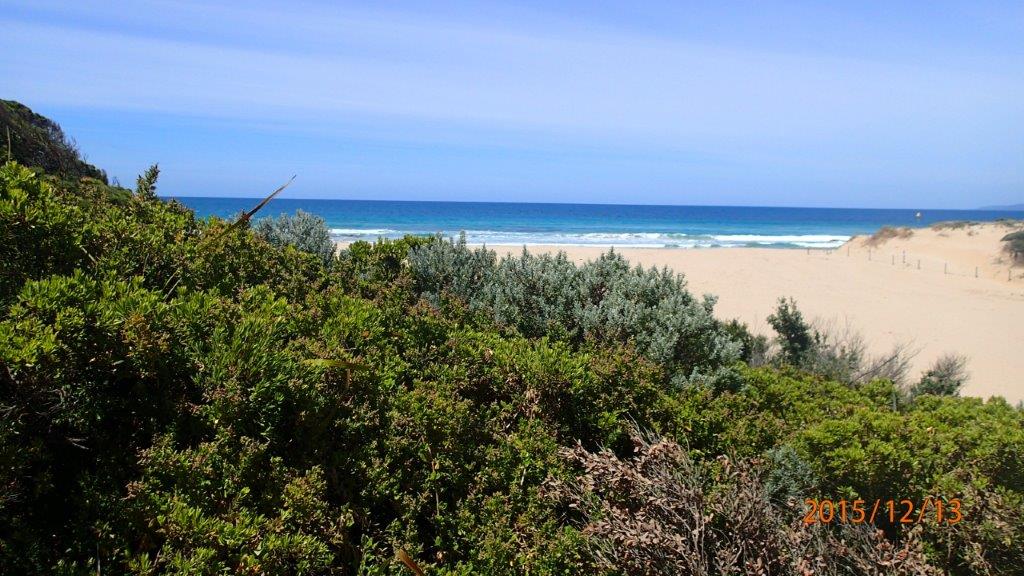
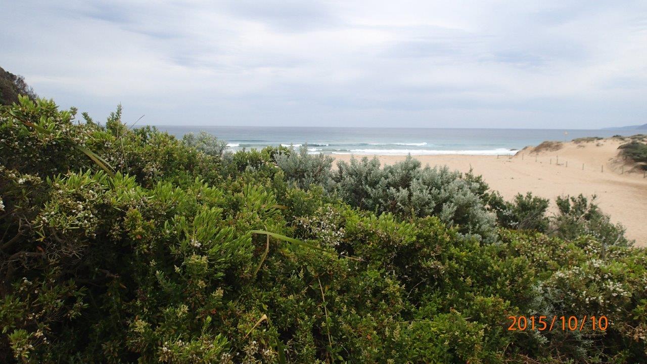
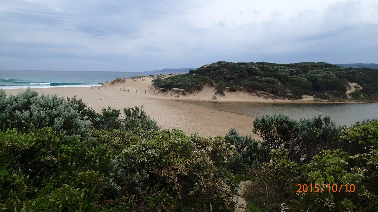
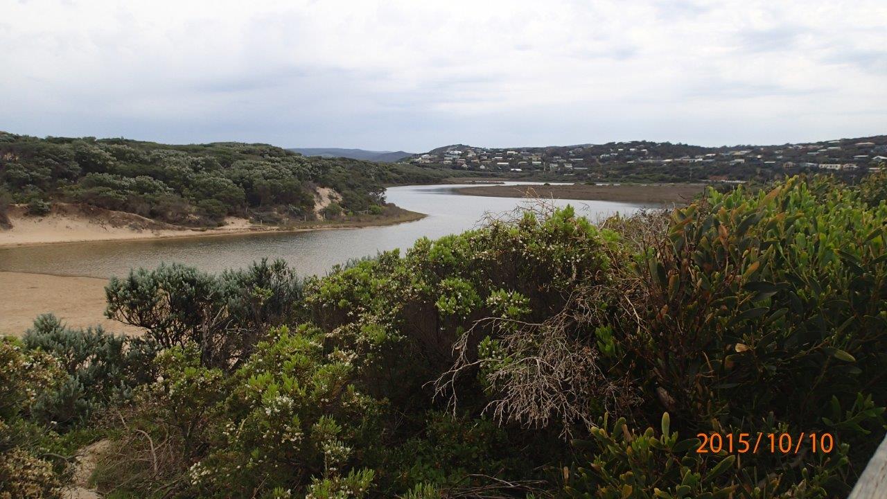
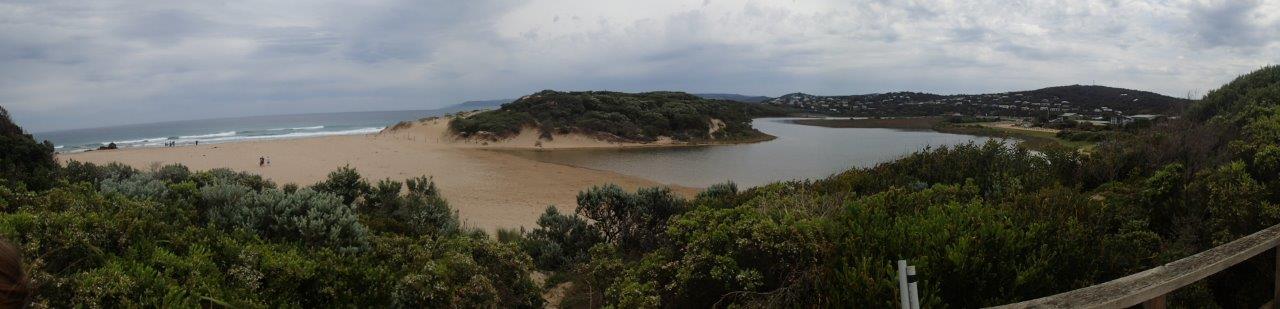
| #9873 | 10 Oct 2015 | Approved | Notes: Berm length was 85m. | |

All content, files, data and images provided by the EstuaryWatch Data Portal and Gallery are subject to a Creative Commons Attribution License
Content is made available to be used in any way, and should always attribute EstuaryWatch and www.estuarywatch.org.au