EstuaryWatch Data Portal
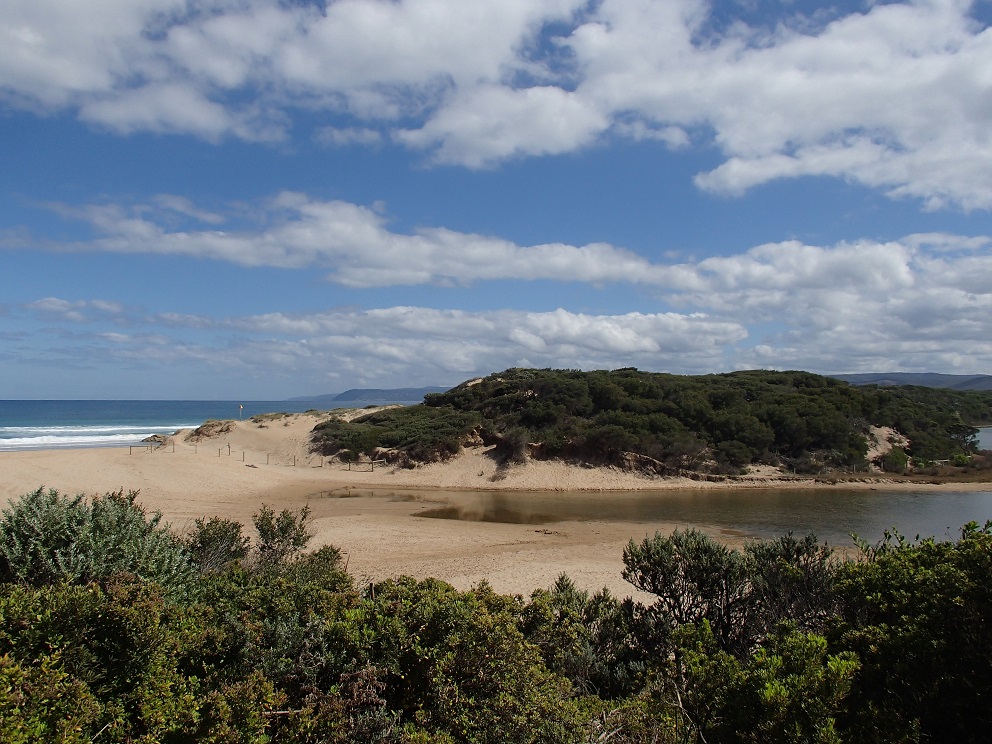
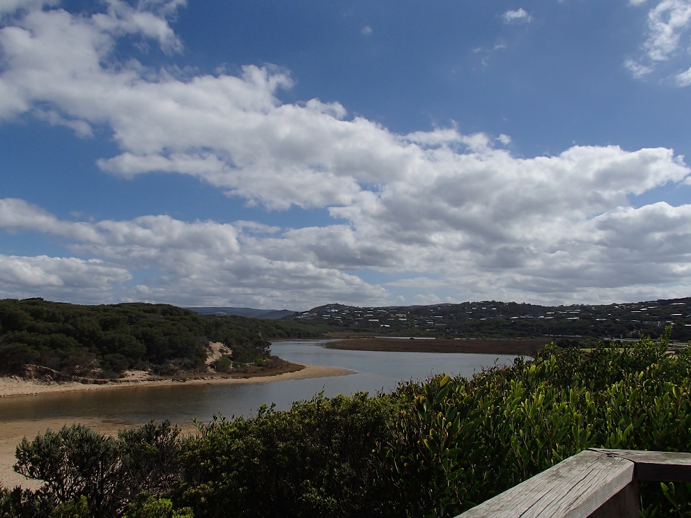
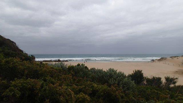
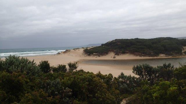
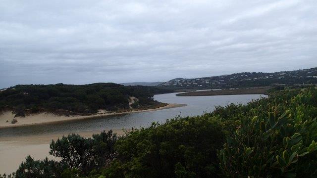
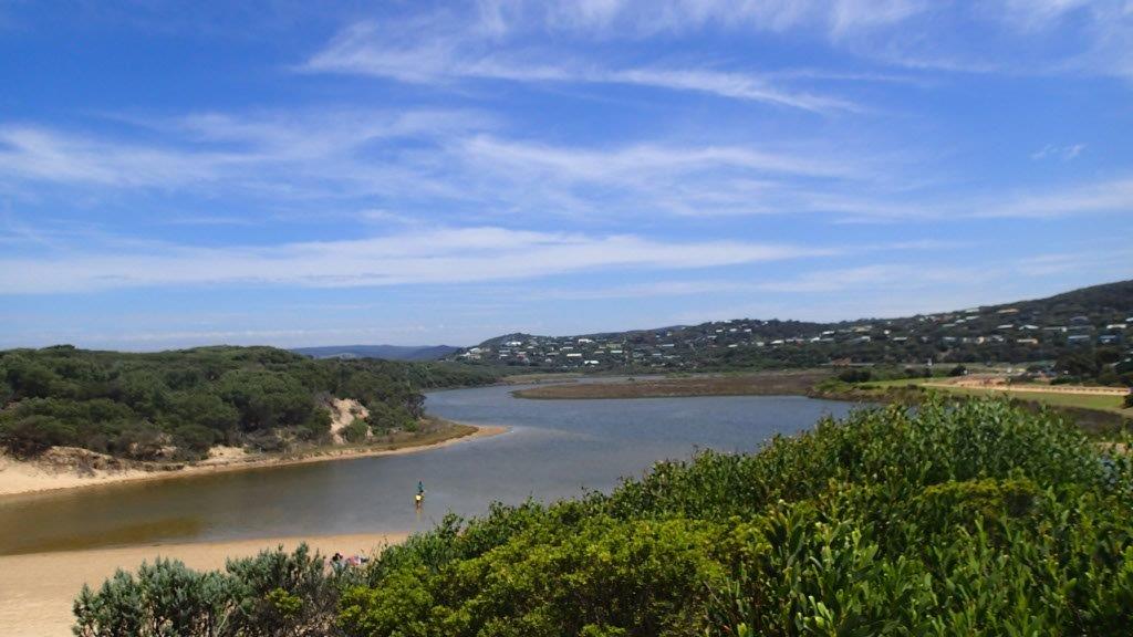
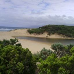
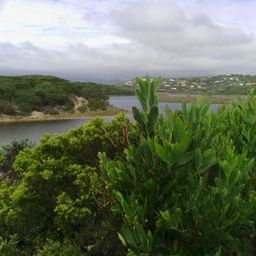
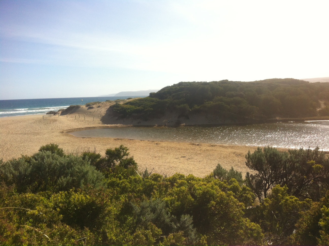
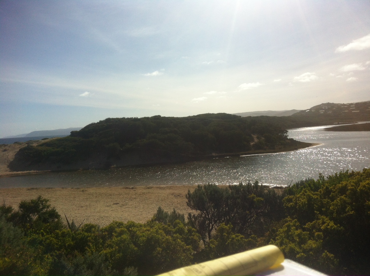
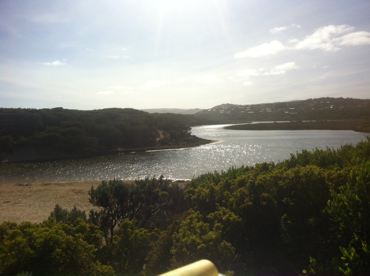
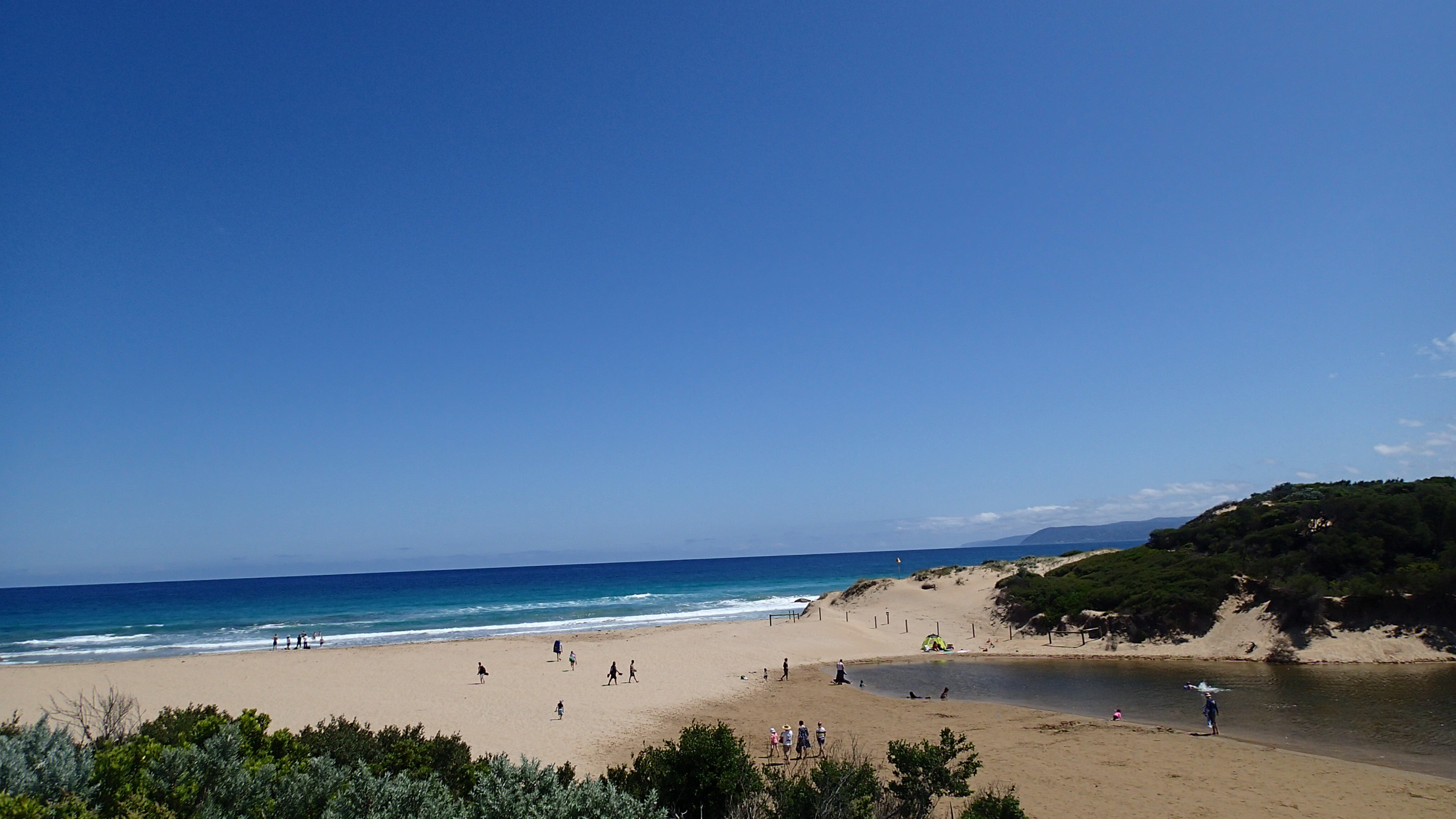
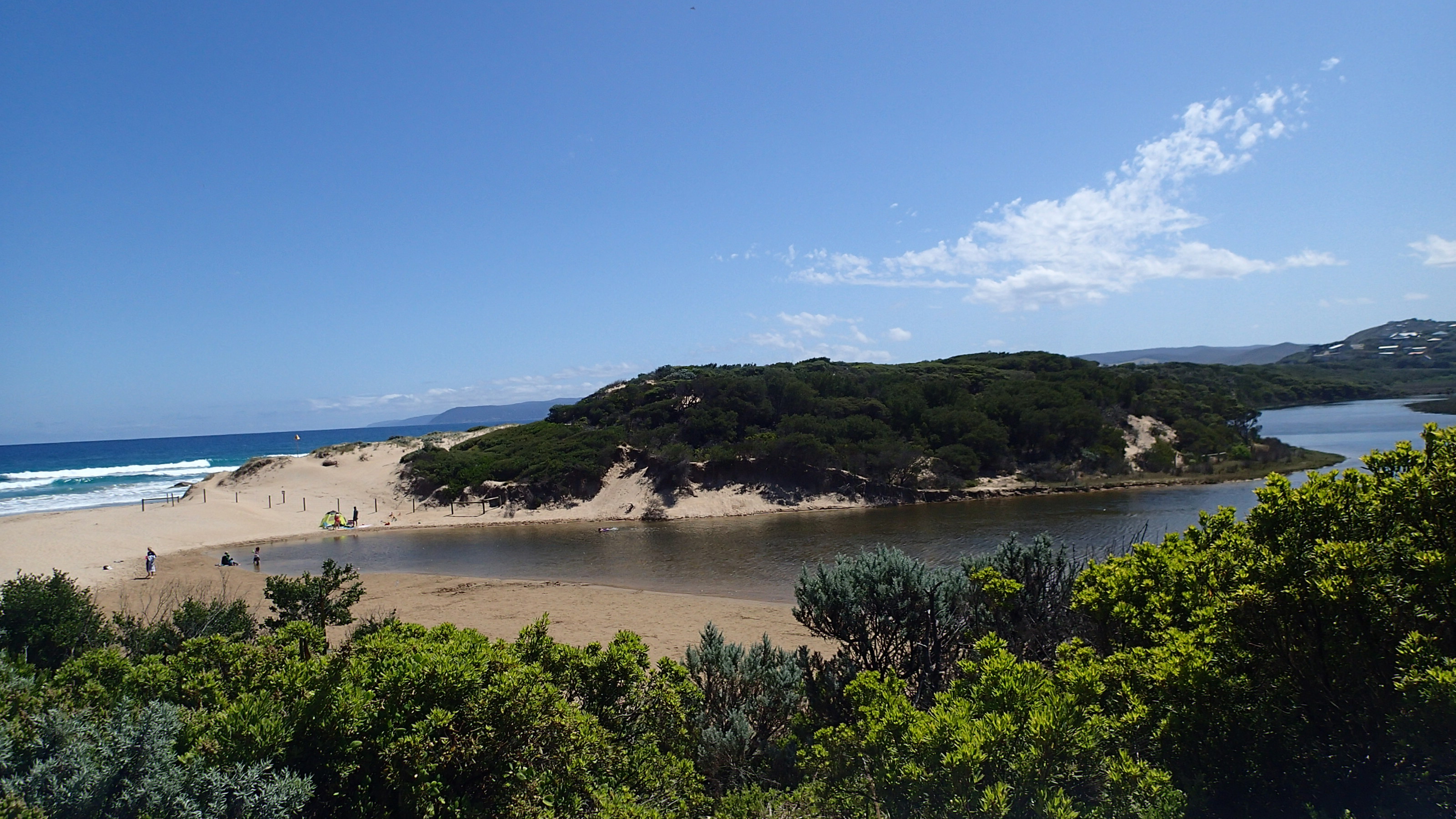
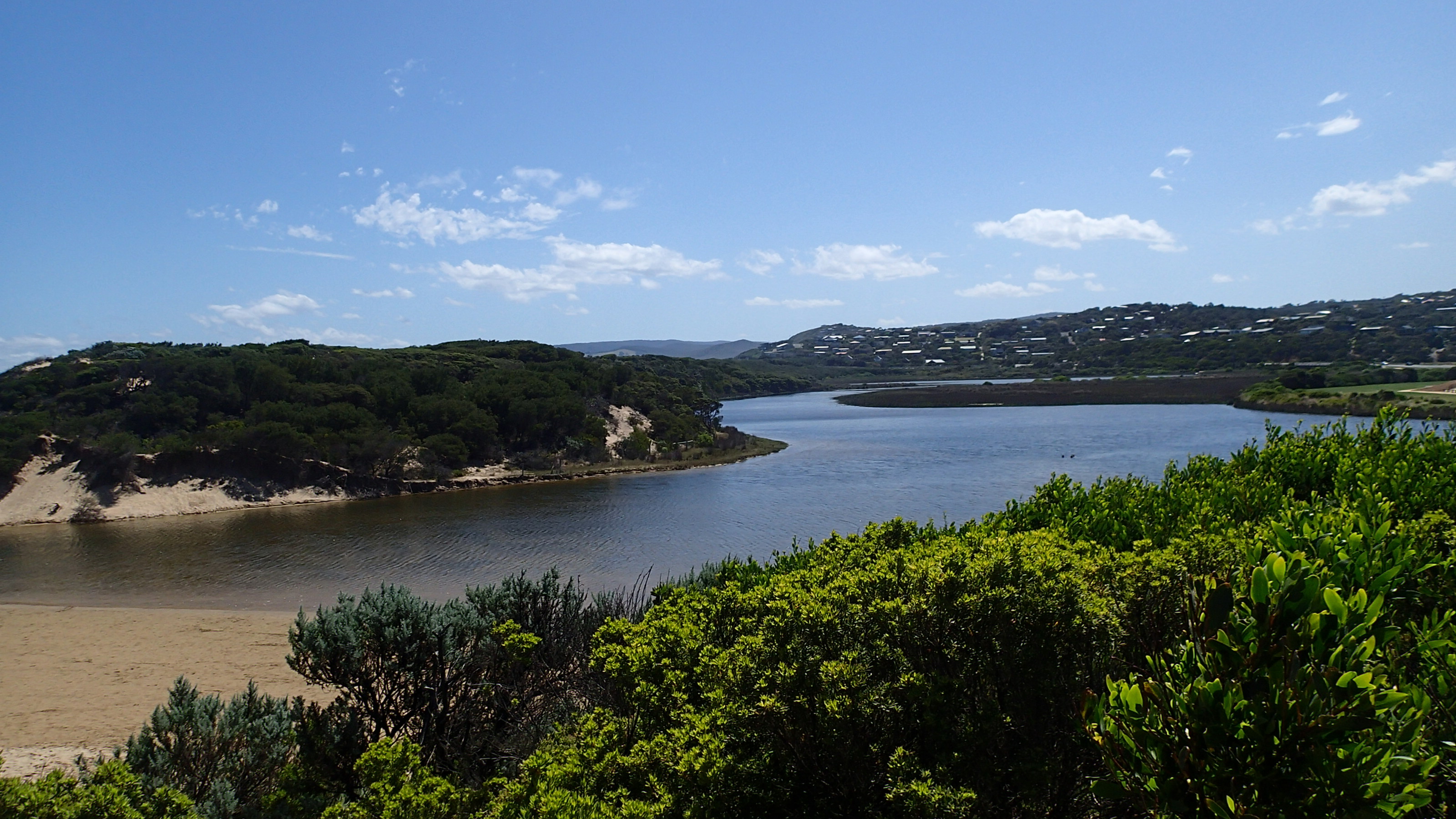
PMC Painkalac Creek Observation Site
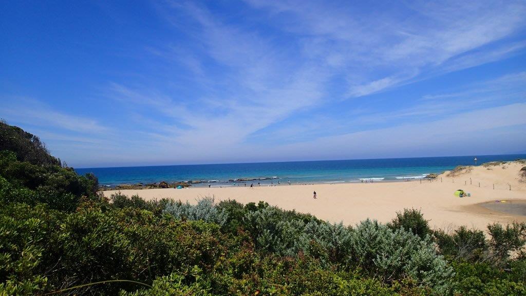
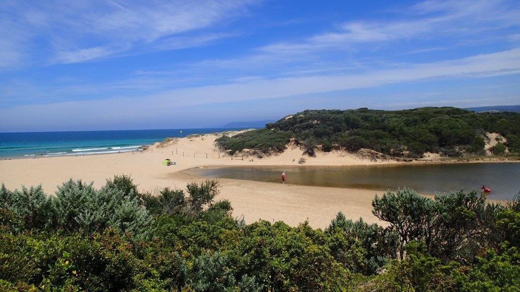
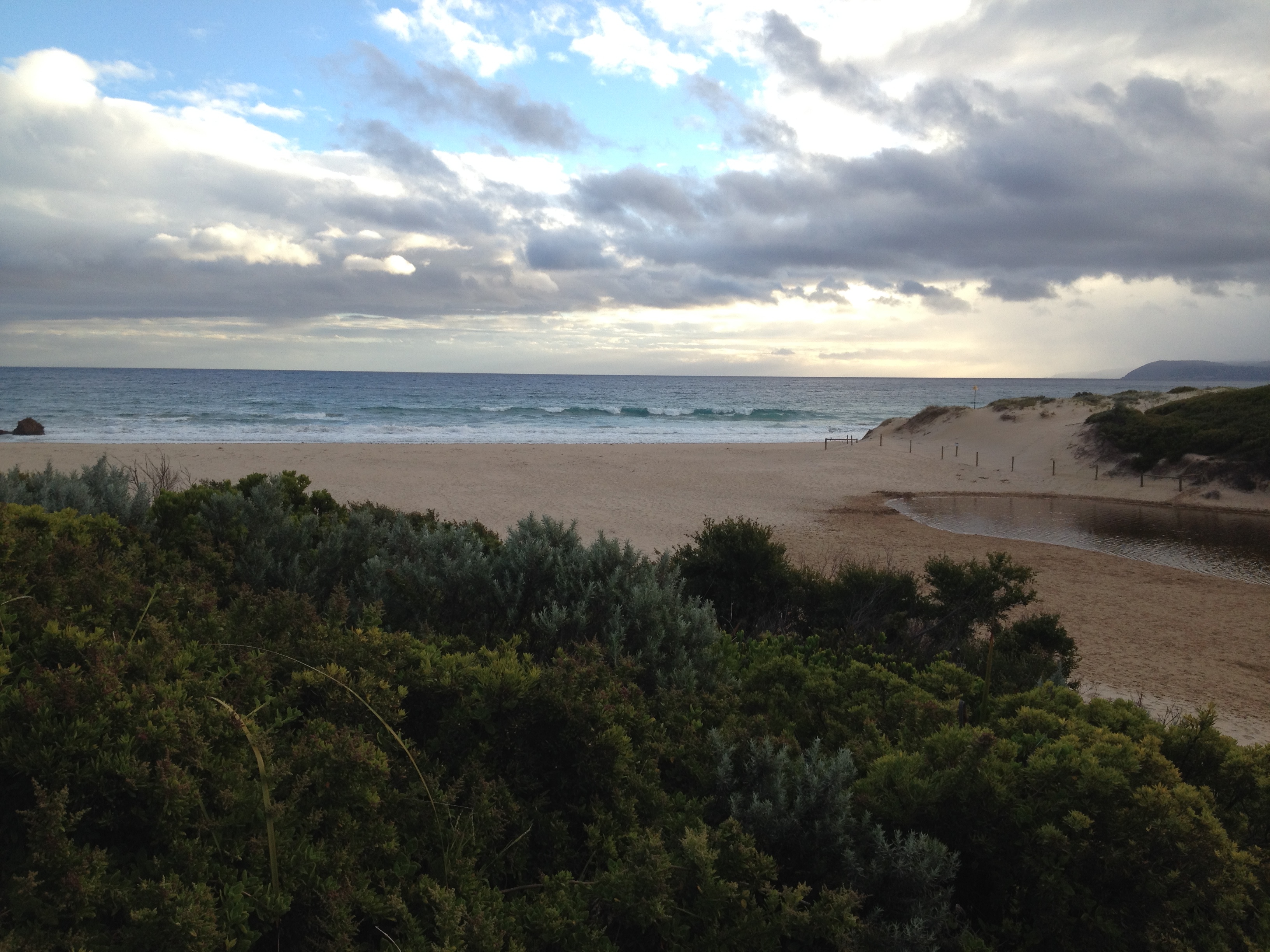
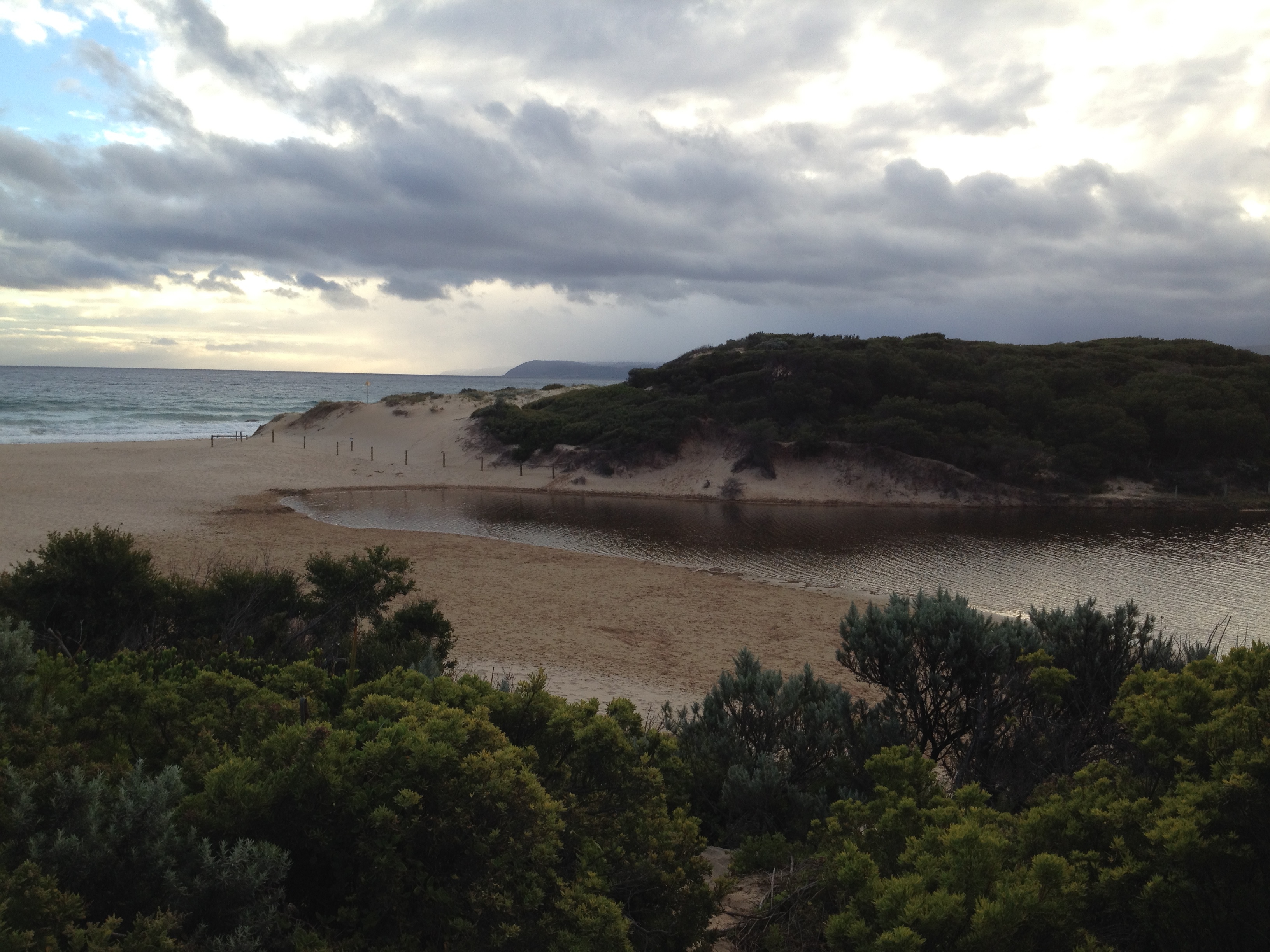
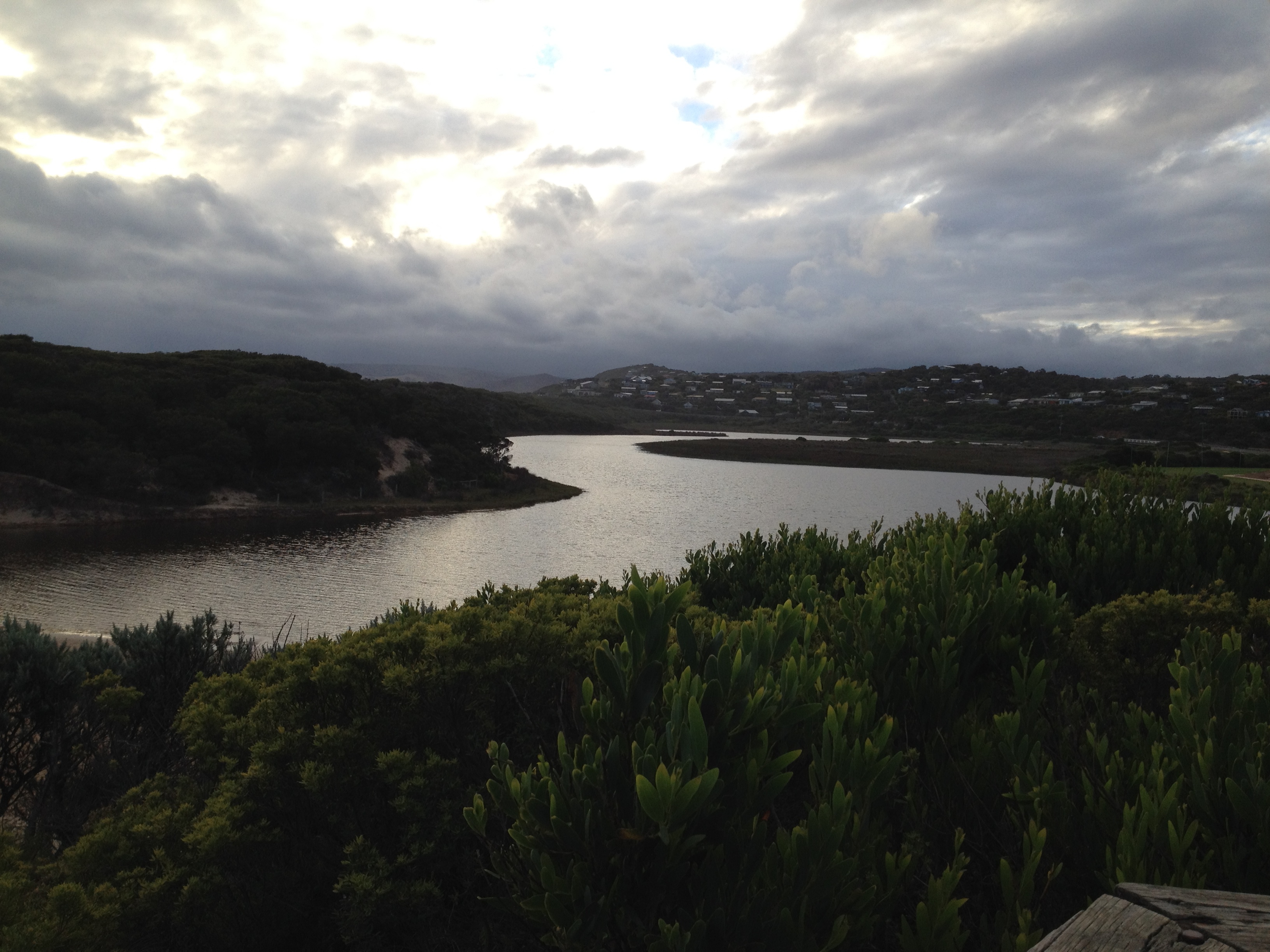
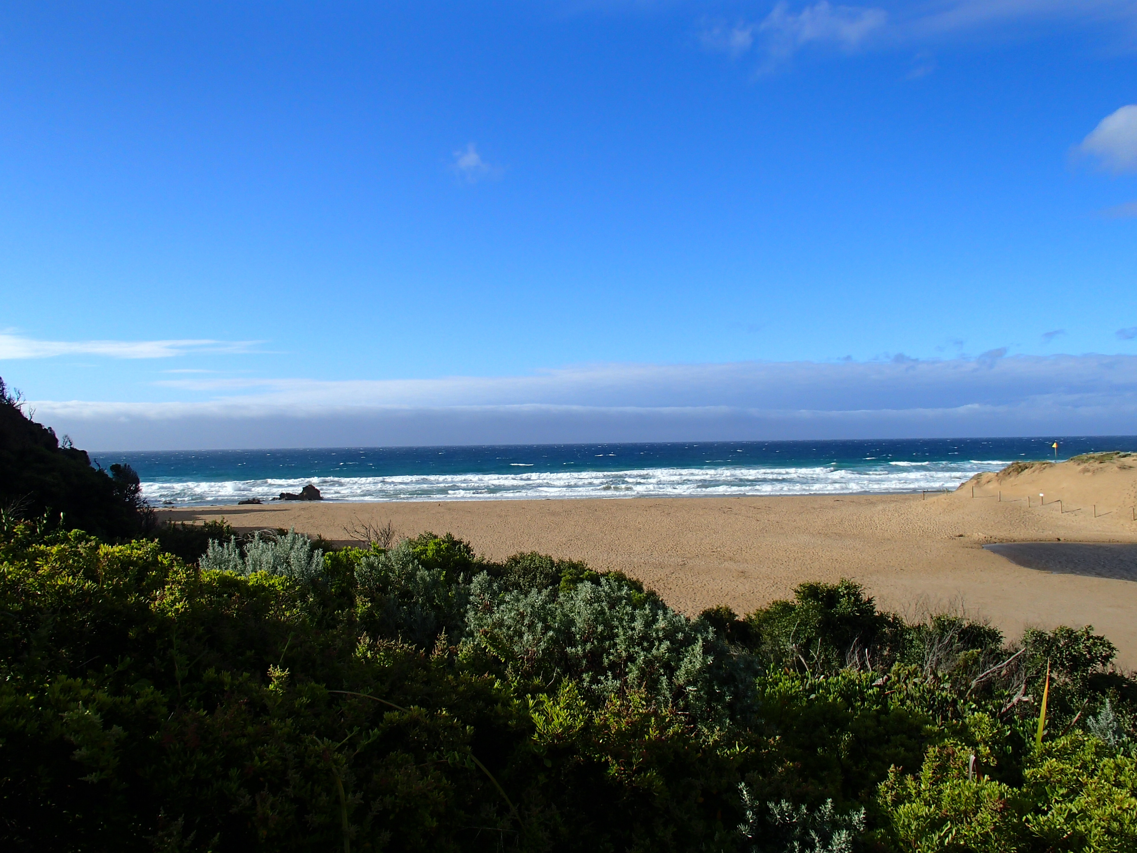
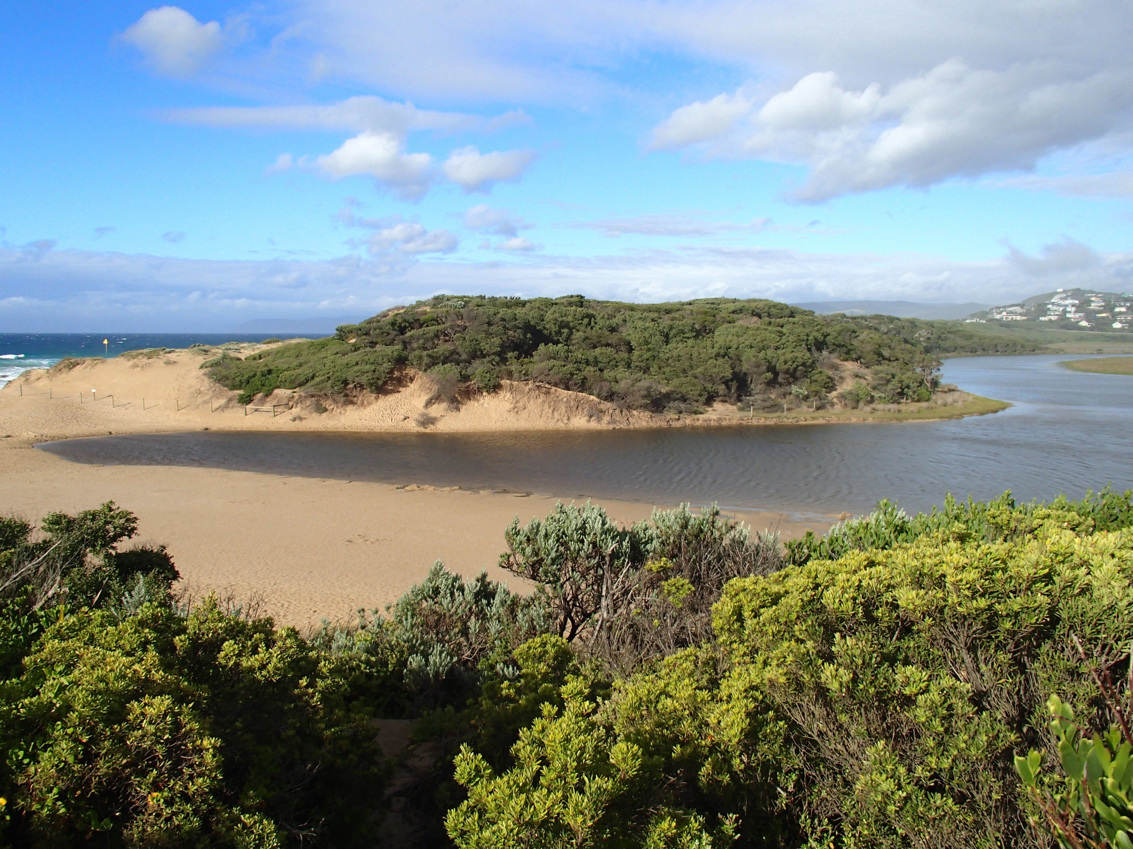
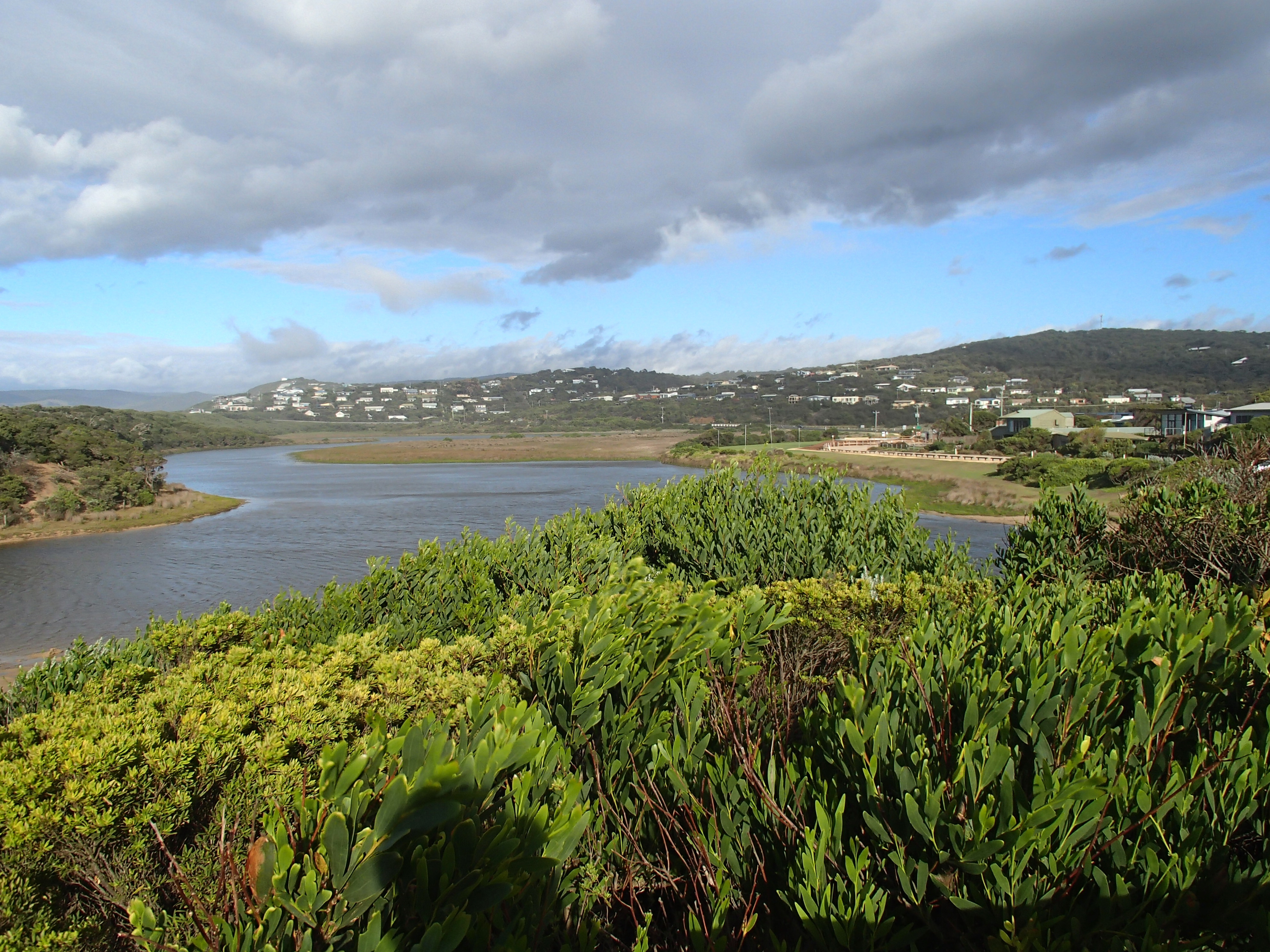
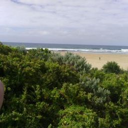
Active Mouth Condition 23-05-2007 - 11-05-2024Painkalac Creek Estuary
274 results found (Displaying 111 - 120)
| ID | Date | Status | Details | |
|---|---|---|---|---|
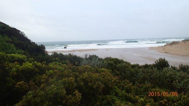
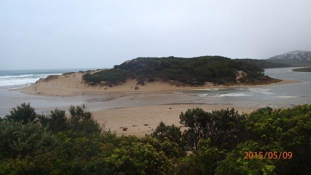
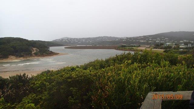
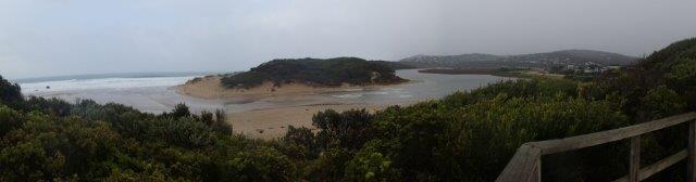
| #9606 | 9 May 2015 | Approved |
Notes:
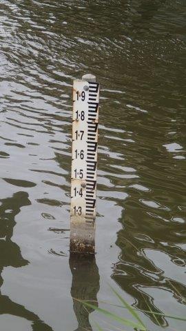
Berm not measured. High tide, estuary closed but over- topping by sea water. Apologies for not recording a Start water level. Forgot to do on way to QA/QC. Obviously would have been interesting, given tidal influence. |
|
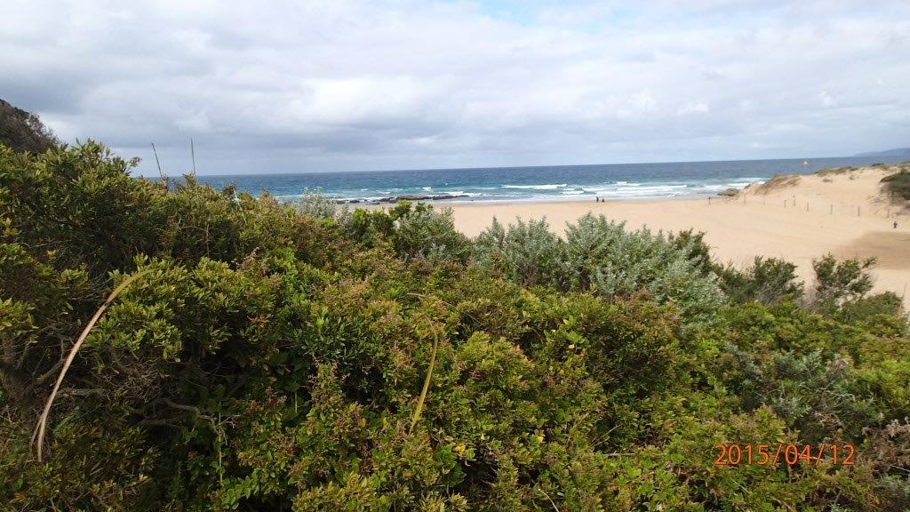
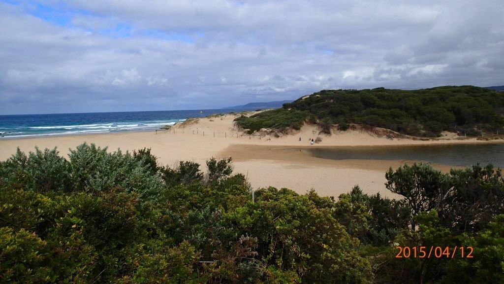
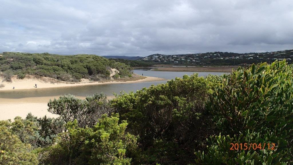
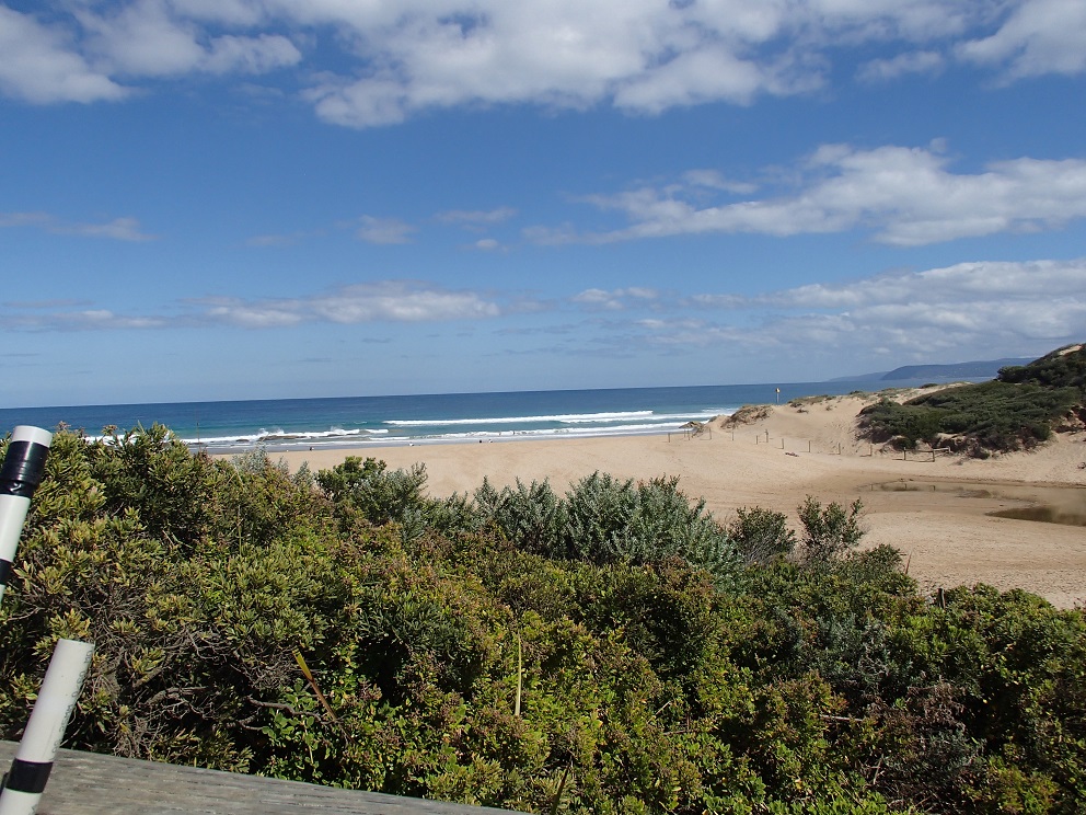
| #9507 | 12 Apr 2015 | Approved | Notes: Could not observe berm pole (at sea-side) from upper swash limit on estuary side. Will email with query re. berm measurement. Berm length 110m. | |
| #9488 | 30 Mar 2015 | Approved | Notes: Volunteer training with Marg and Tony. | |
| #9449 | 15 Mar 2015 | Approved | Notes: The water level was a bit difficult to read, because of dirt/discolouration on the gauge, and I have made a 'guesstimate. Have attached a photo for you to review. Berm length 95m. | |
| #9394 | 15 Feb 2015 | Approved |
Notes:
Willy weather data used for Wind direction & tidal range. Graeme stood at high tide mark for 'sea' berm height, could not be seen from estuary if he was at upper swash mark. Berm lengthis 80m long. |
|
| #9341 | 16 Jan 2015 | Approved | Notes: Distance of berm was 74m. | |
| #9349 | 14 Jan 2015 | Approved | Notes: Berm length 66m. | |
| #9319 | 11 Jan 2015 | Approved | Notes: Berm length 110m. | |
| #9340 | 5 Jan 2015 | Approved | Notes: The berm hight above sea level far exceeded the height of the berm pole. My estimation is that it was higher than 3m. | |
| #9265 | 14 Dec 2014 | Approved | ||

All content, files, data and images provided by the EstuaryWatch Data Portal and Gallery are subject to a Creative Commons Attribution License
Content is made available to be used in any way, and should always attribute EstuaryWatch and www.estuarywatch.org.au