EstuaryWatch Data Portal
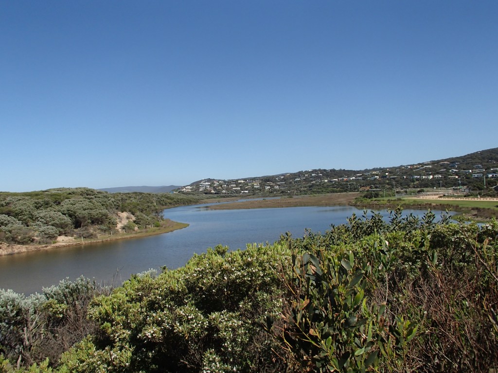
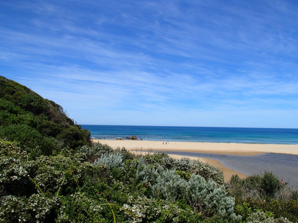
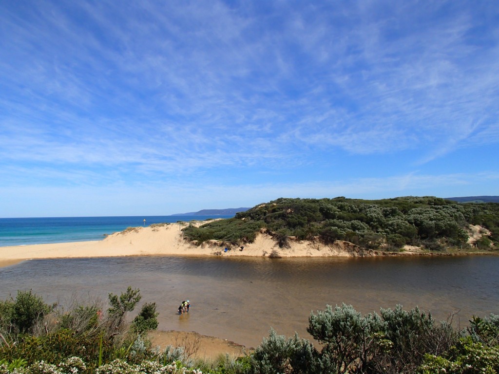
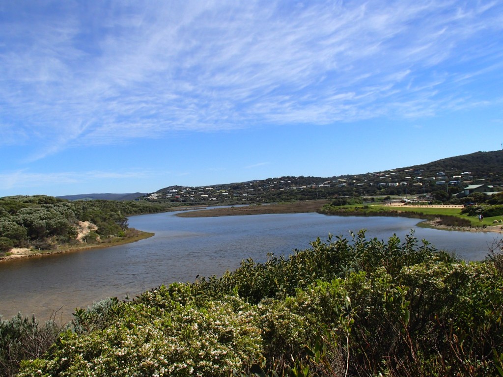
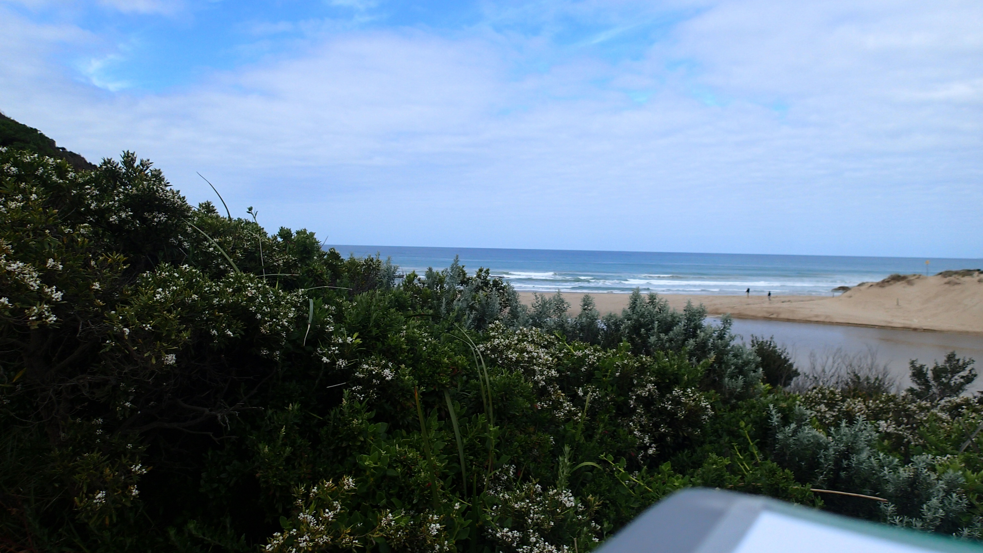
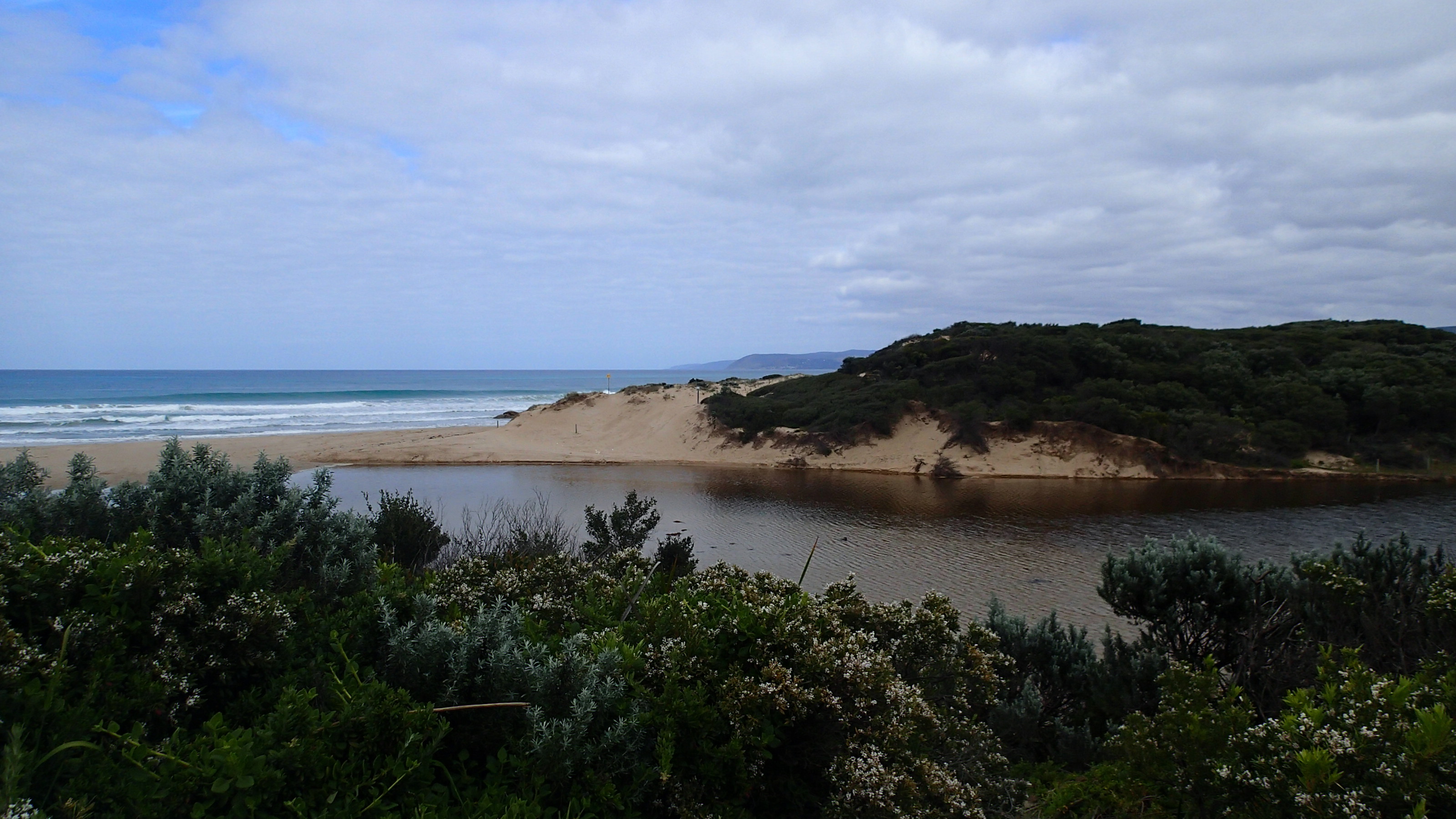
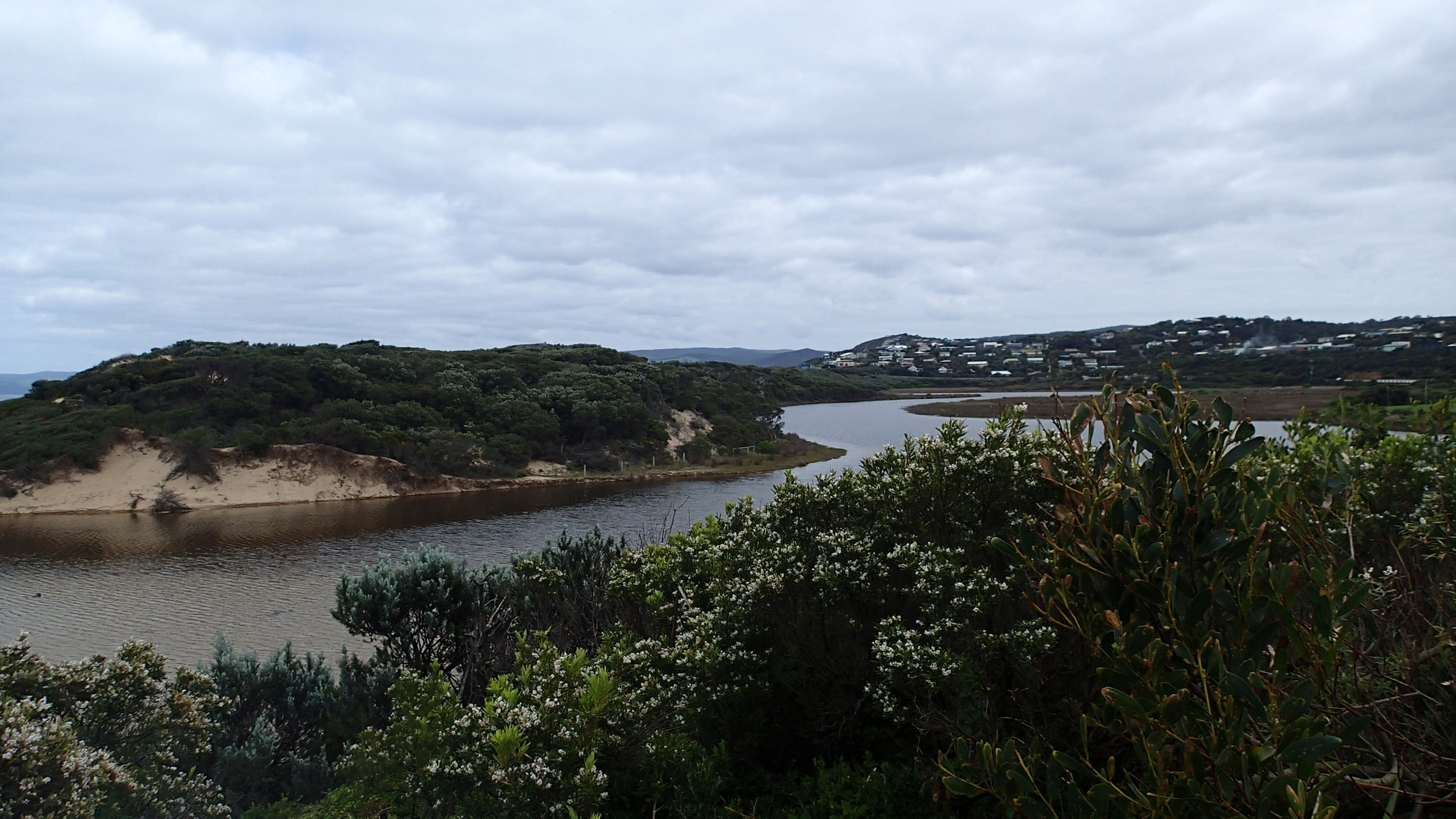
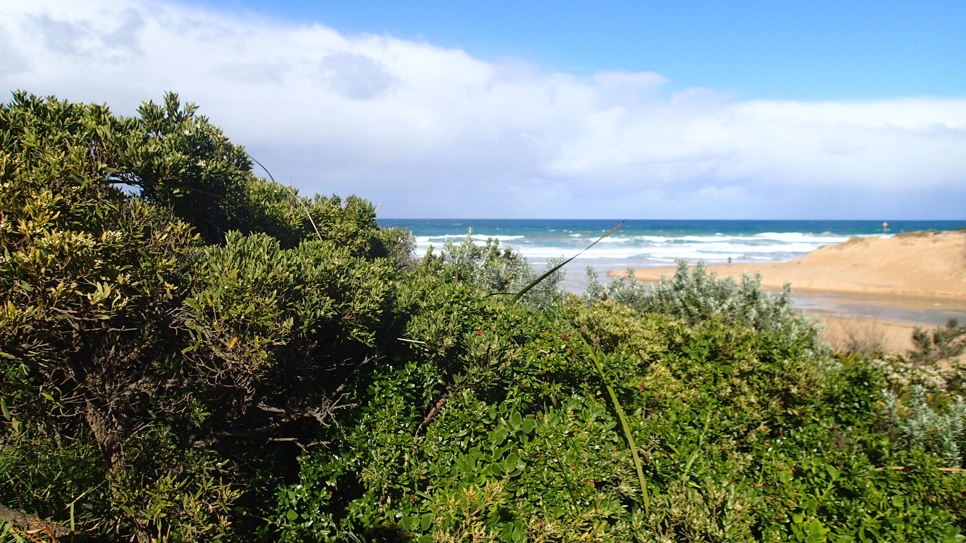
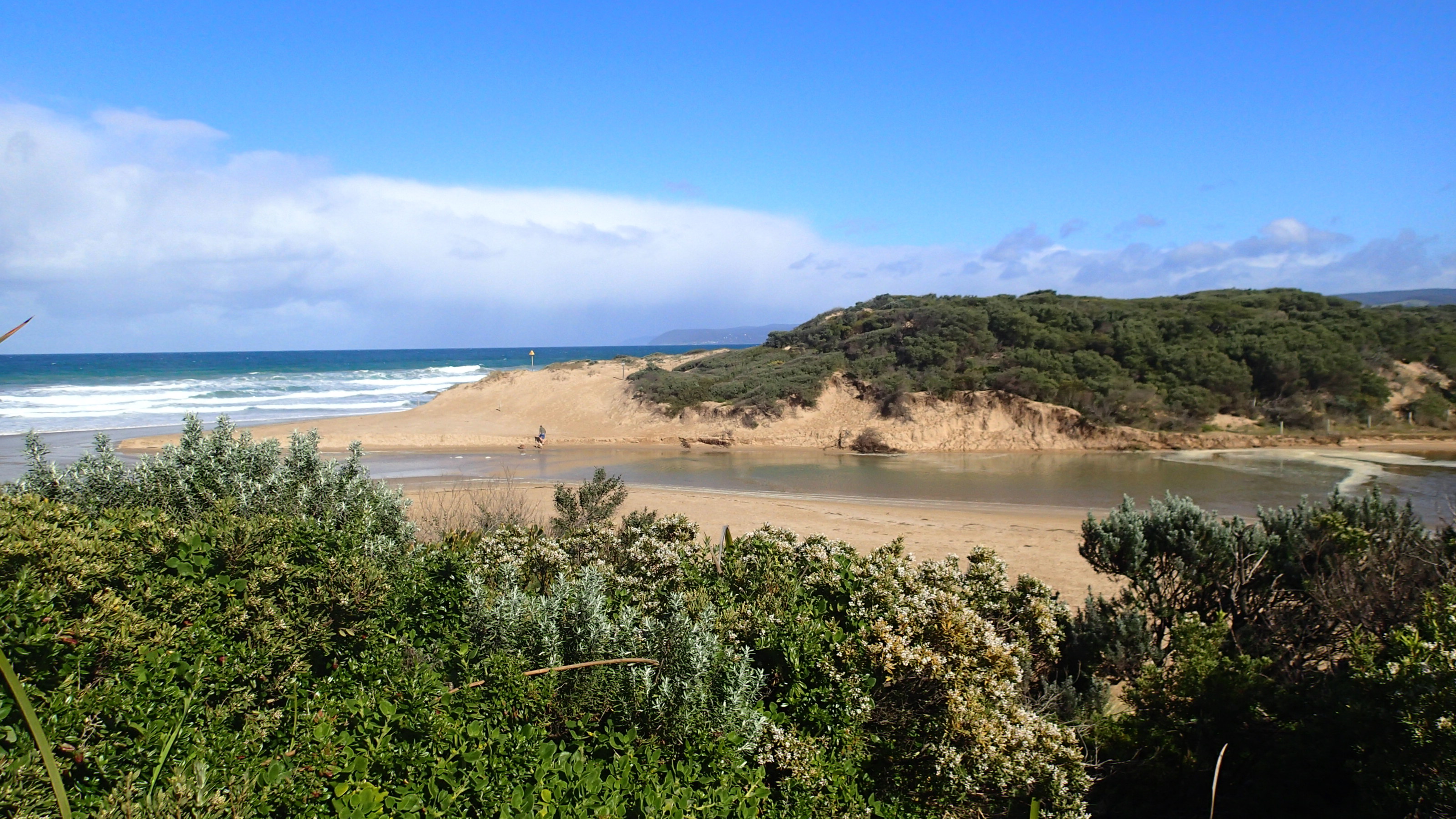
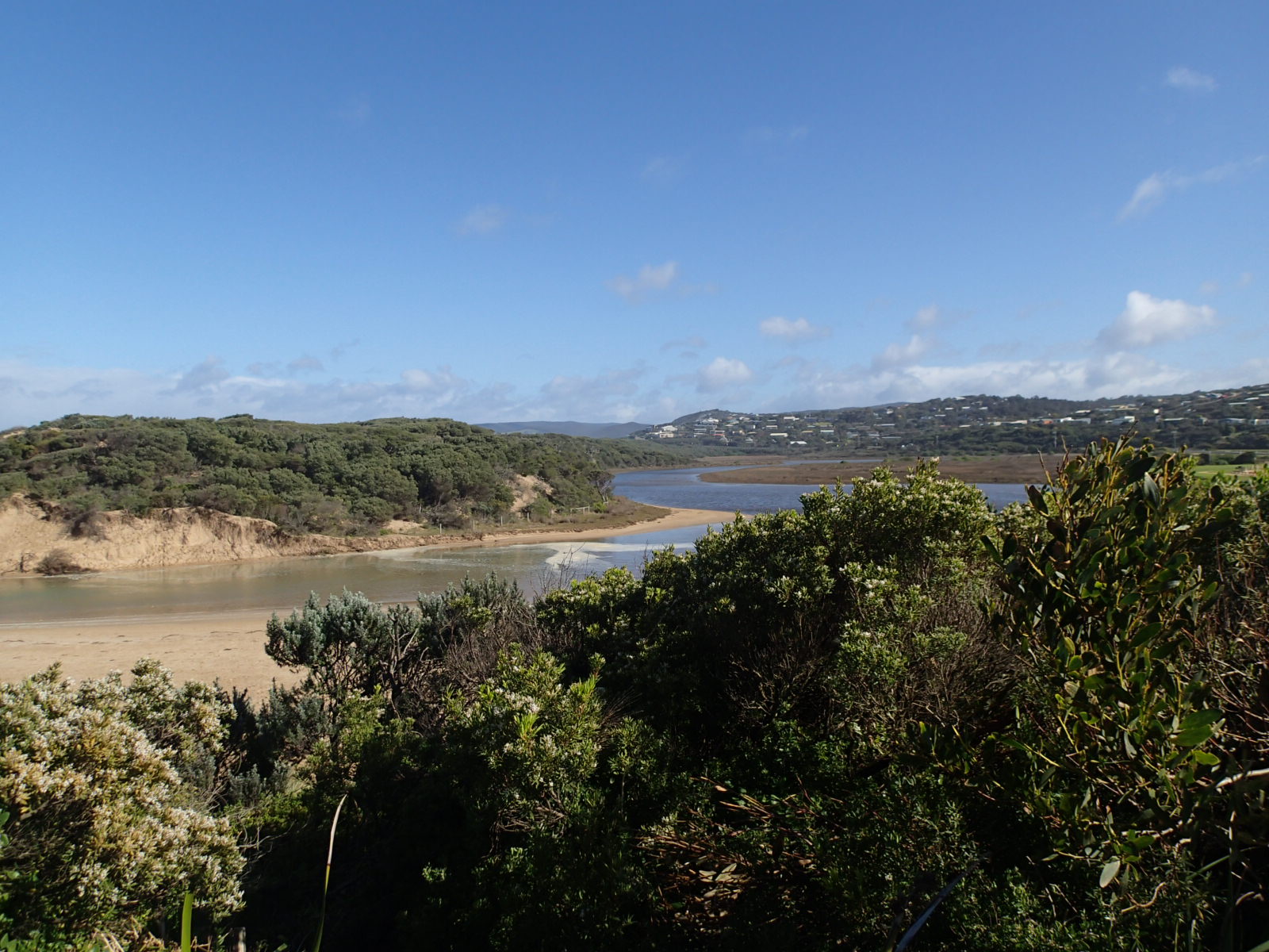
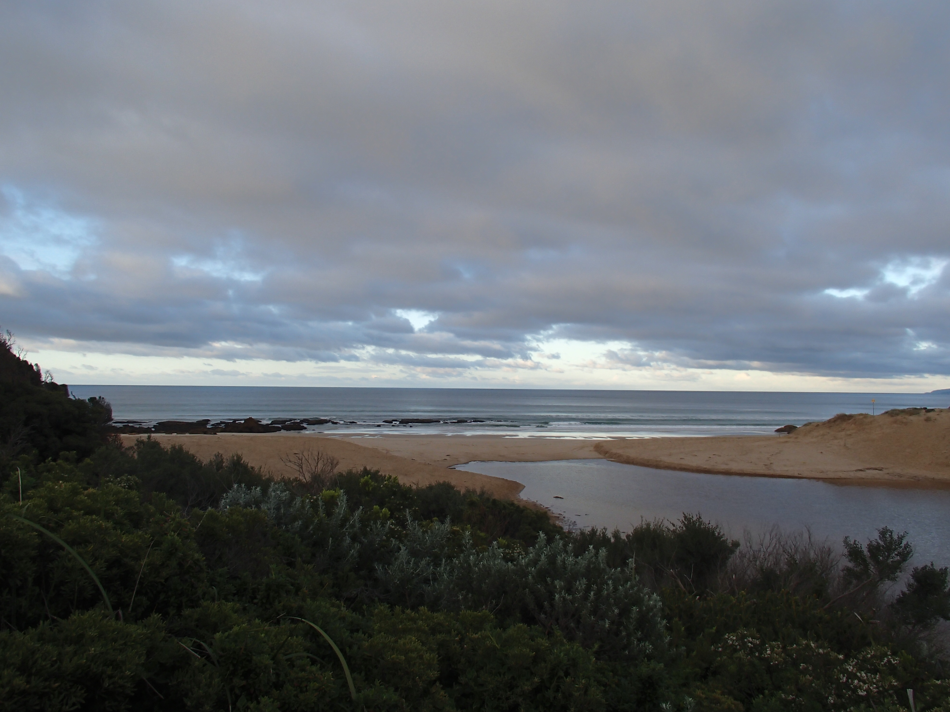
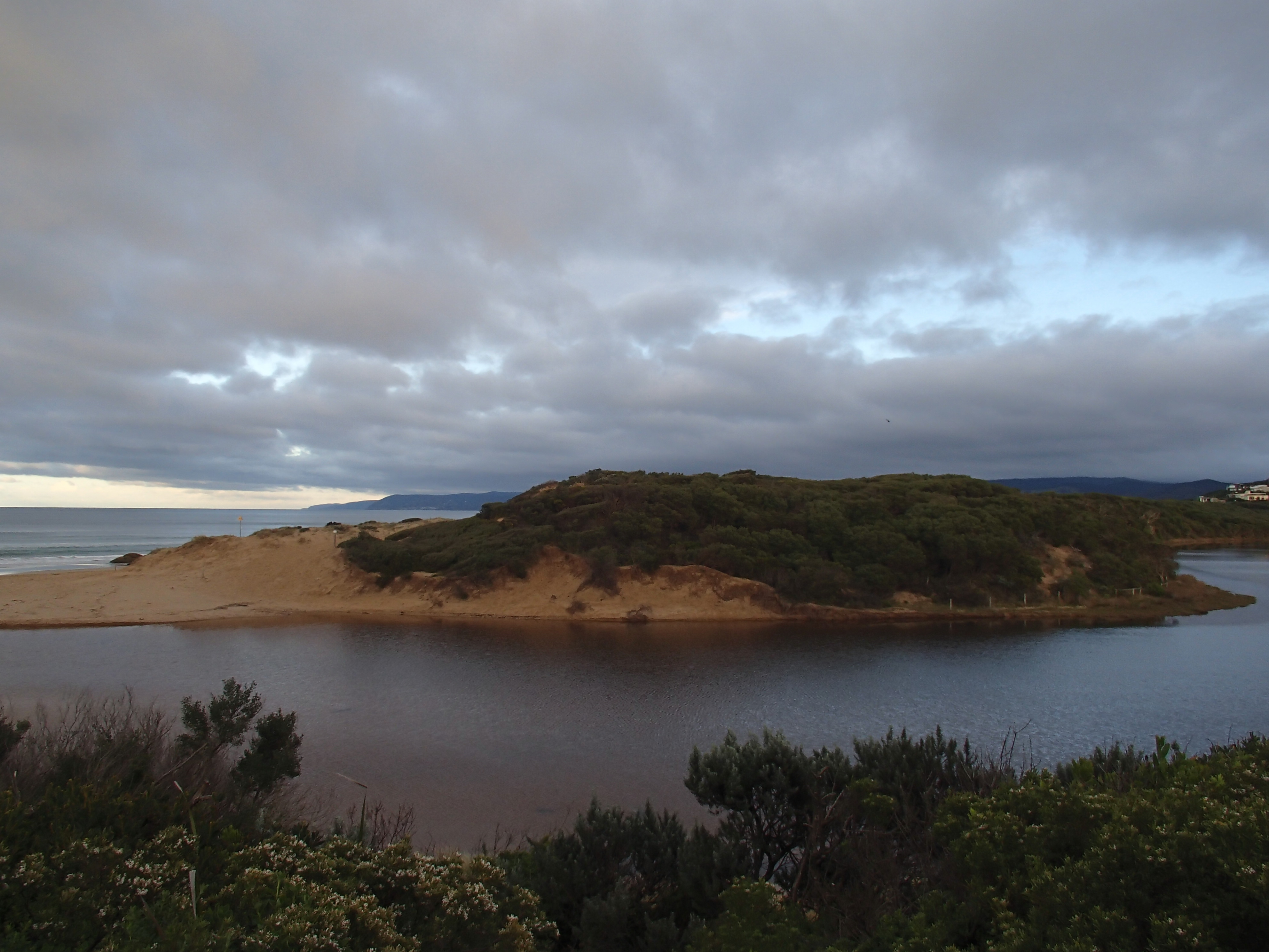
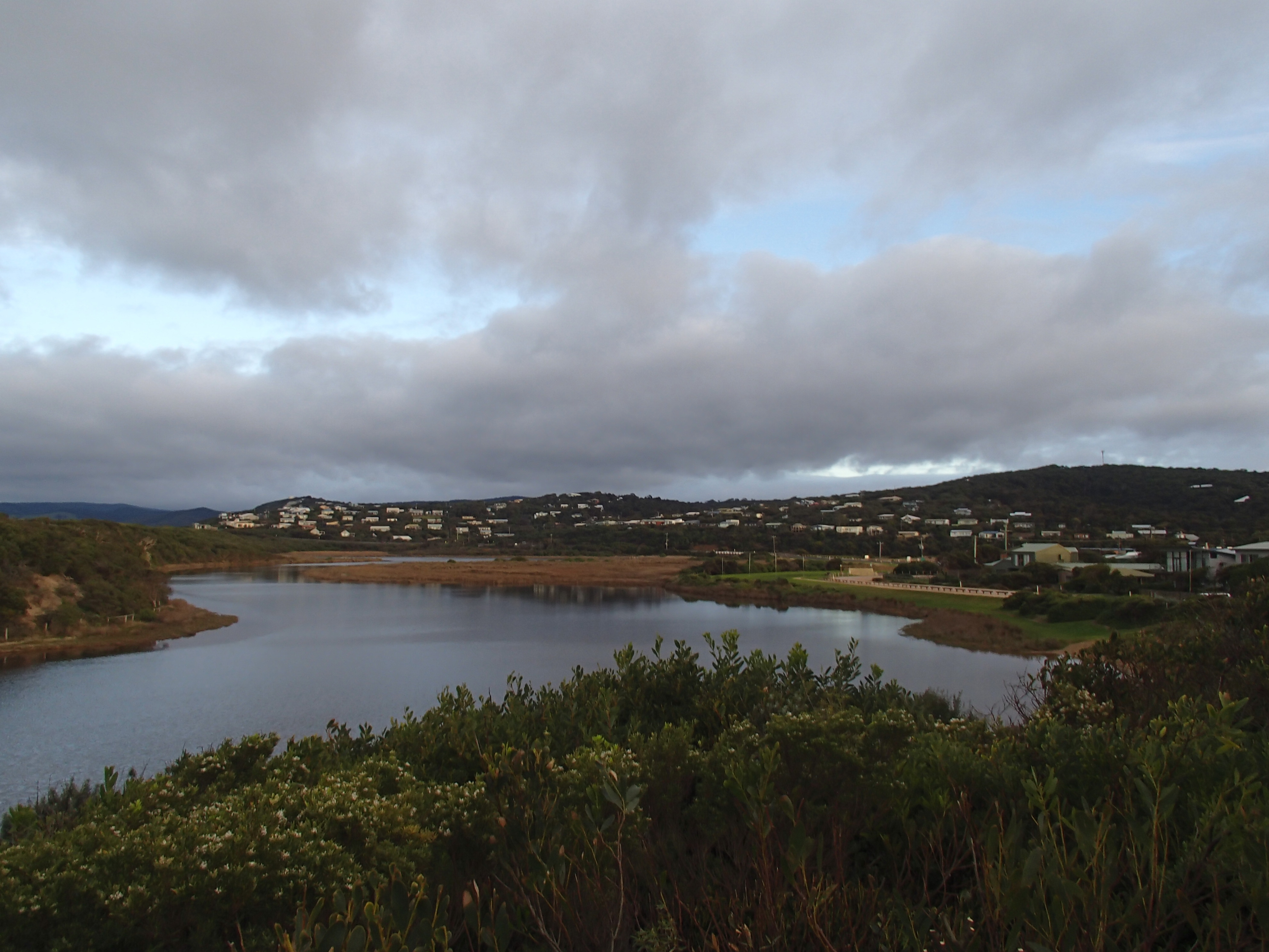
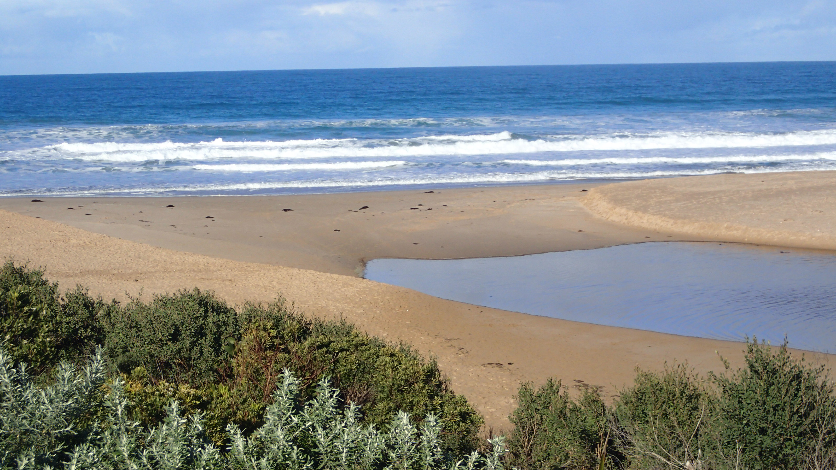
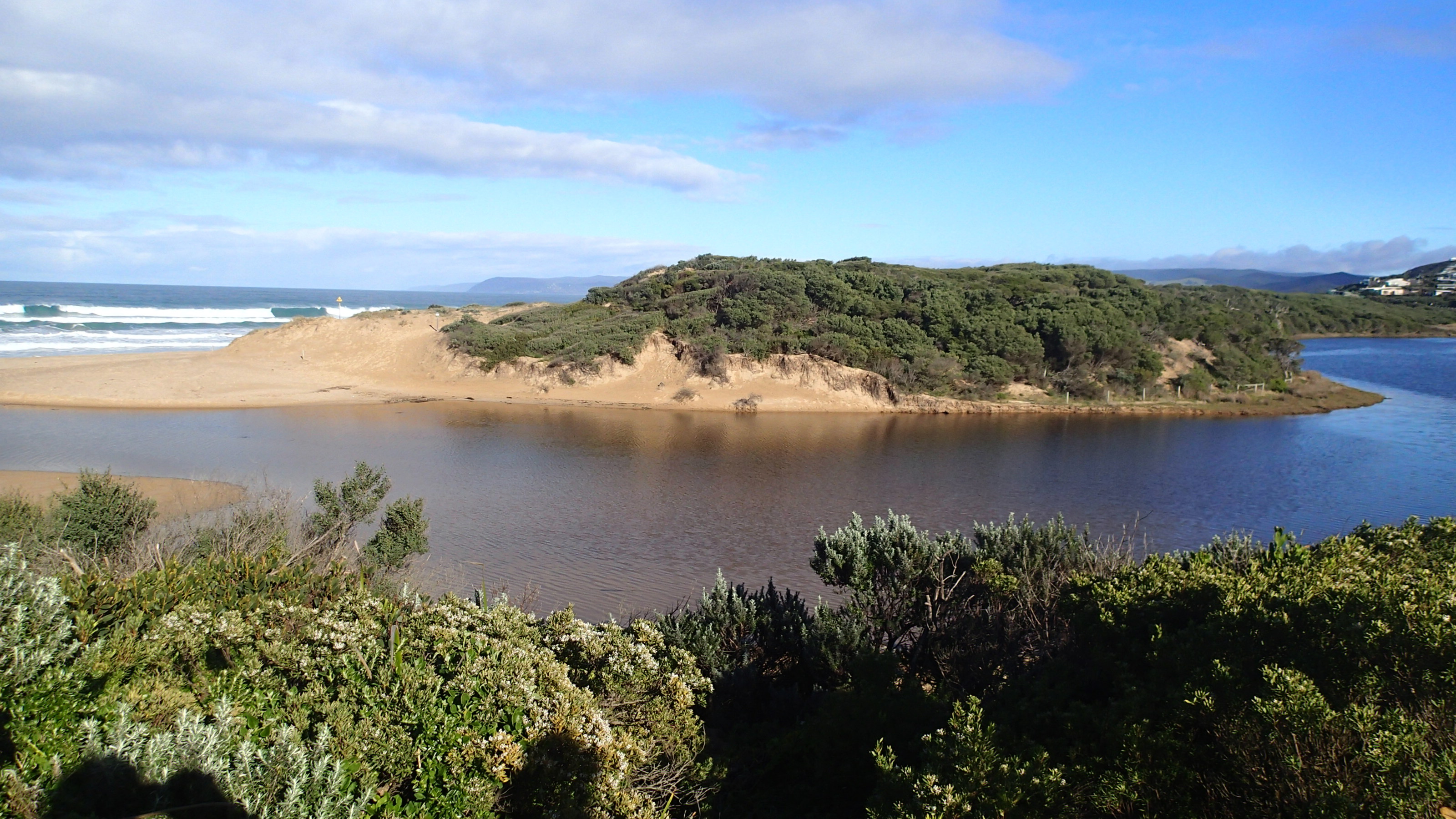
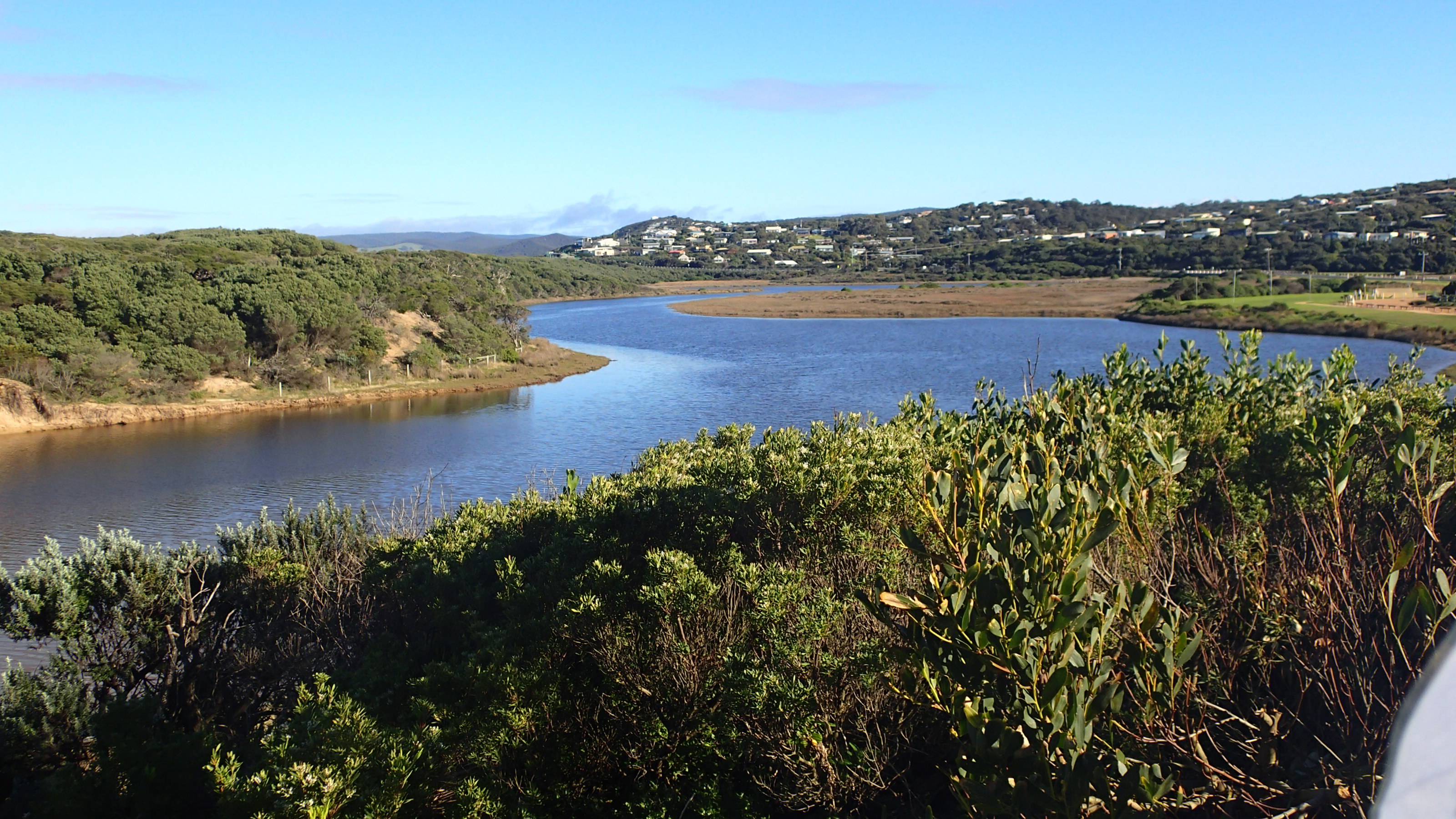
PMC Painkalac Creek Observation Site
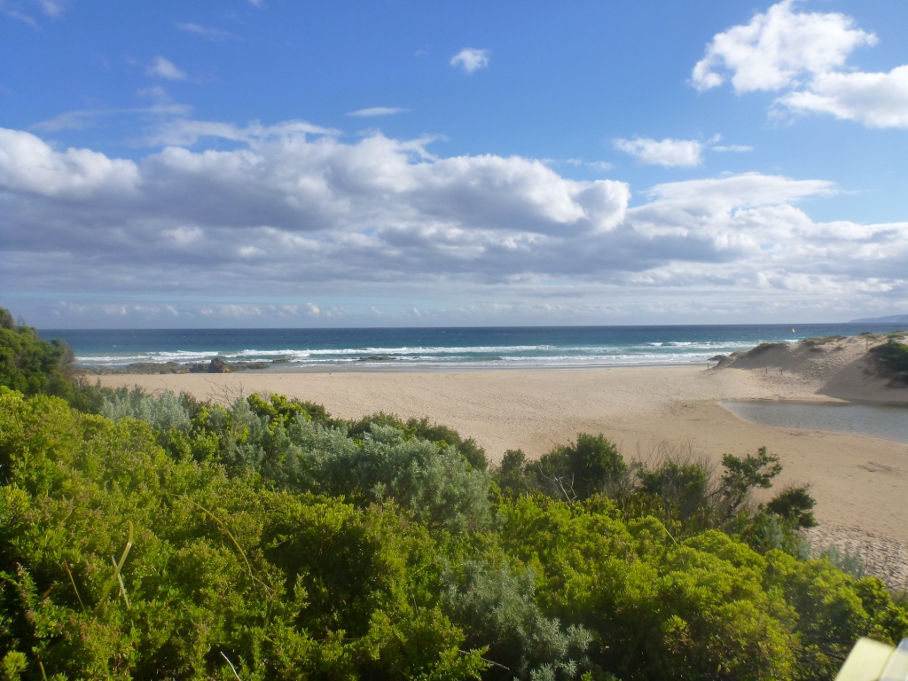
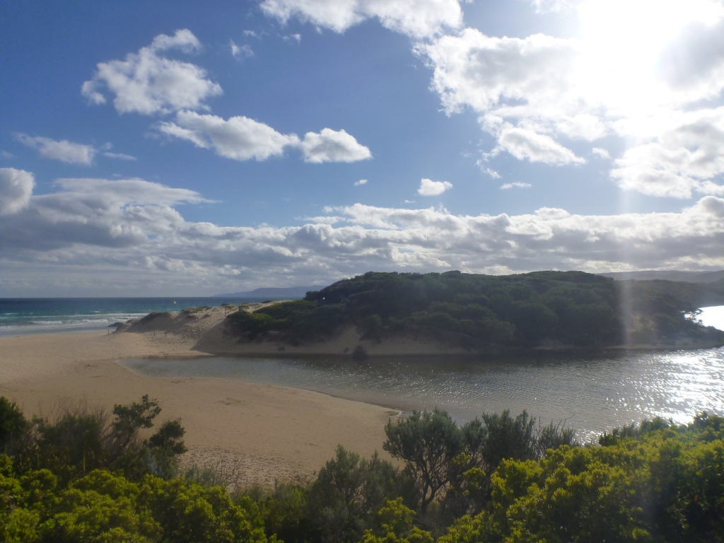
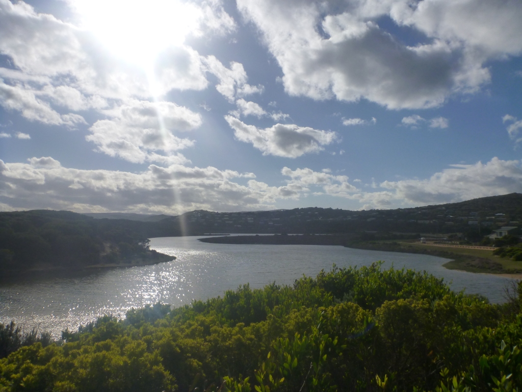
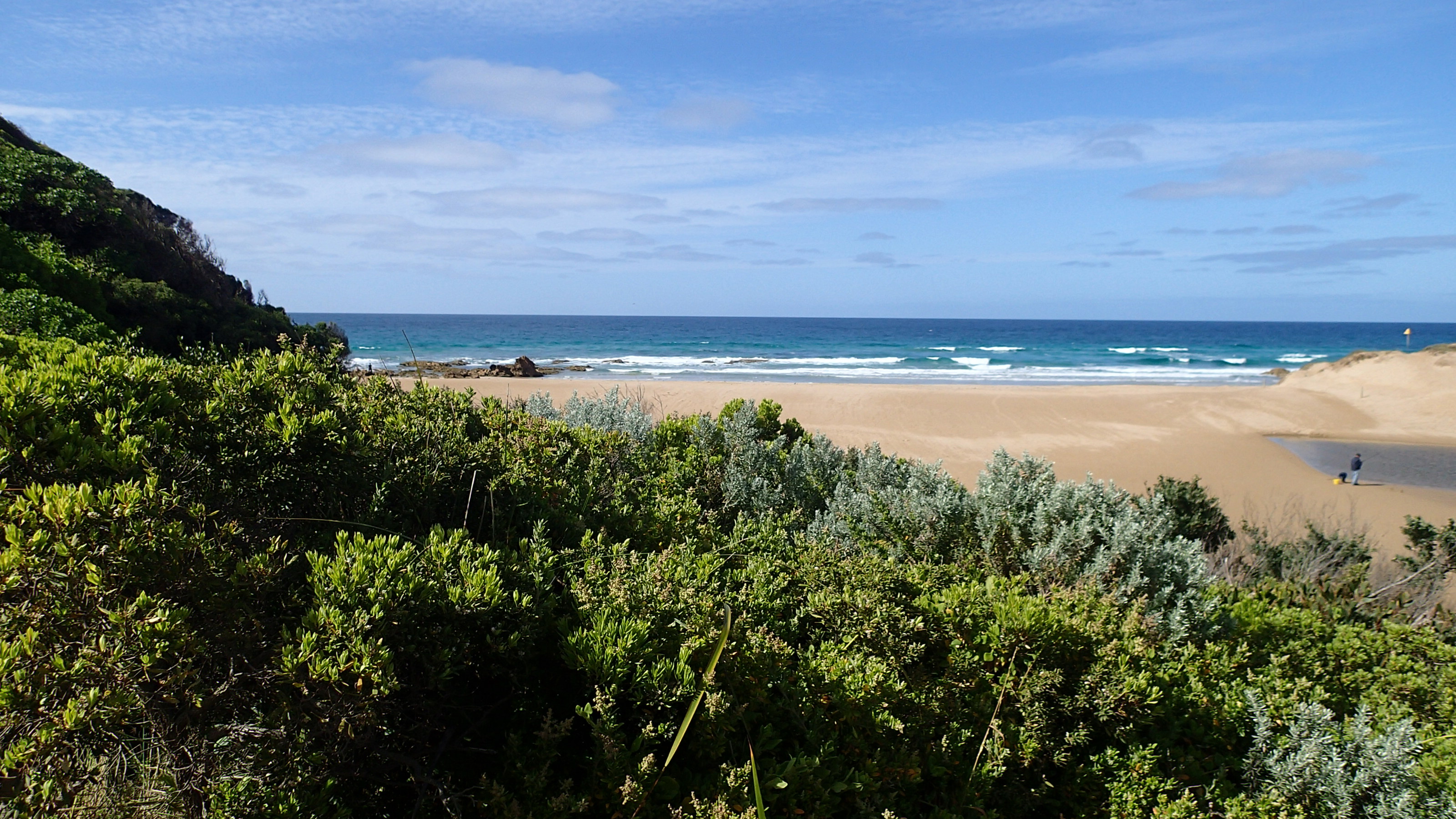
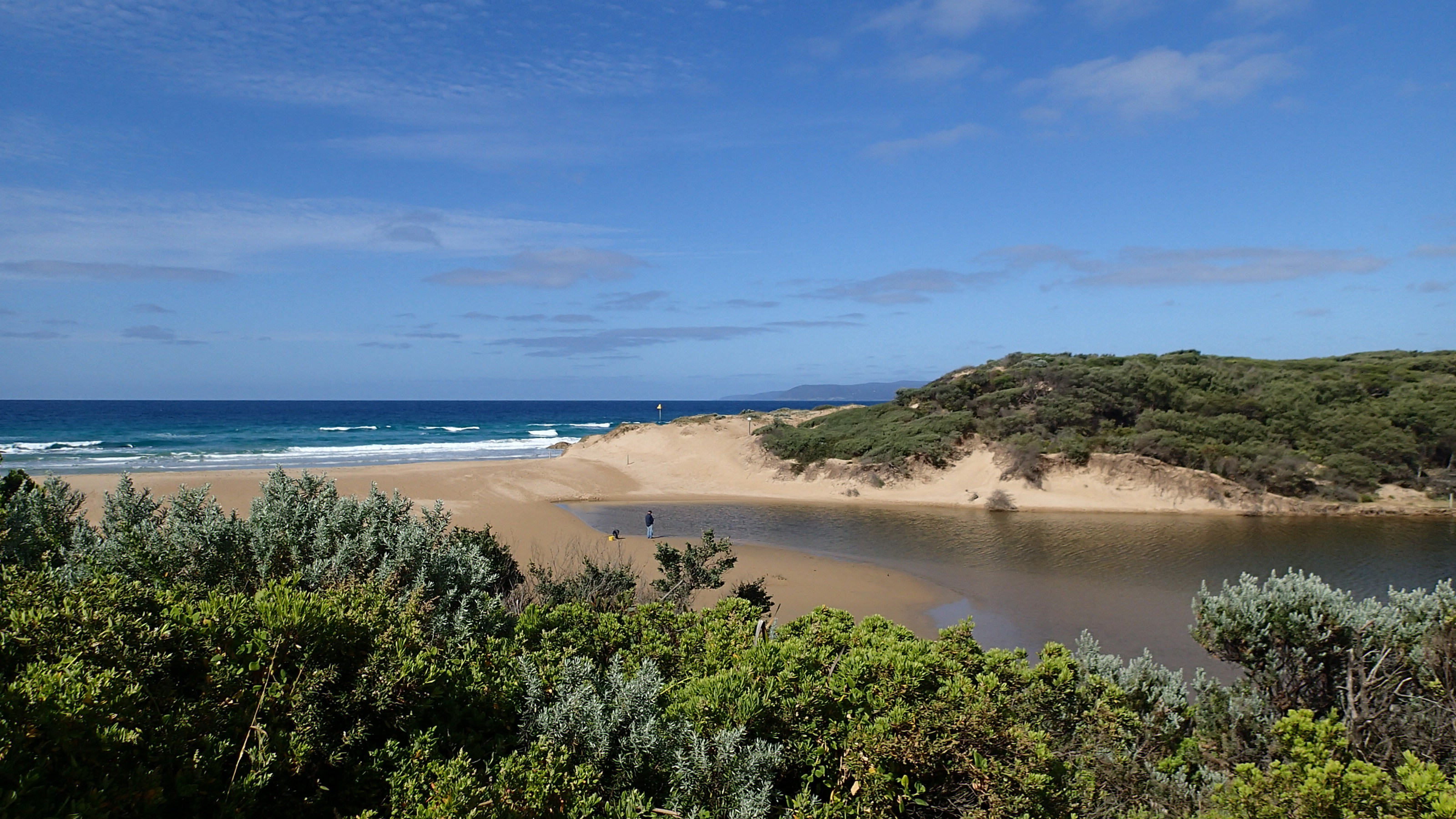
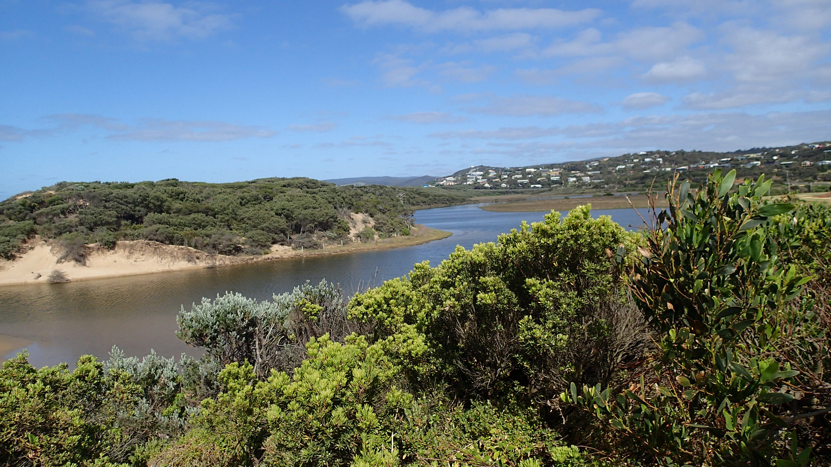
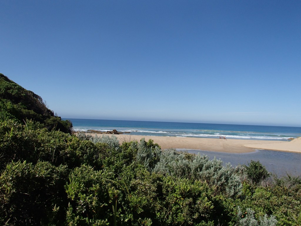
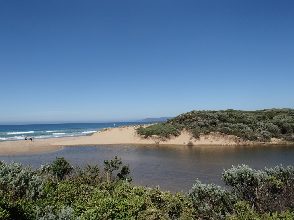
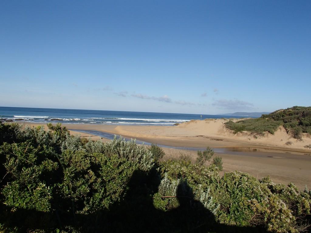
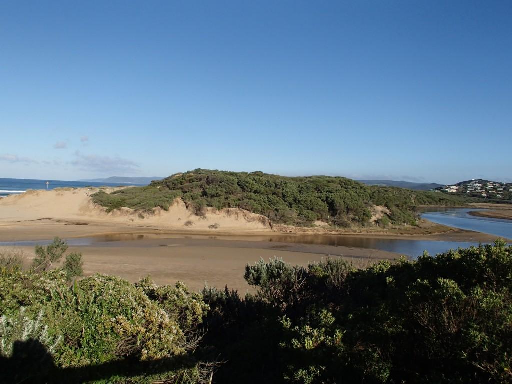
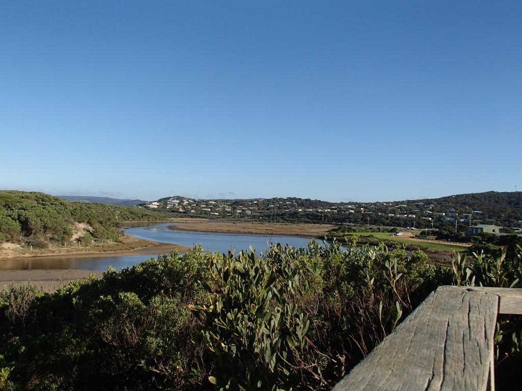
Active Mouth Condition 23-05-2007 - 11-05-2024Painkalac Creek Estuary
274 results found (Displaying 121 - 130)
| ID | Date | Status | Details | |
|---|---|---|---|---|
| #9239 | 25 Nov 2014 | Approved |
Notes:
2.5 metres for the sea to berm height was an estimate as the height exceeded the berm pole. Length of the berm measured at 86.5 metres. |
|
| #9214 | 9 Nov 2014 | Approved | Notes: Berm height above the sea water level is at the very top of the berm pole >2m. | |
| #9183 | 12 Oct 2014 | Approved | Notes: At high tide sea water had come over the berm. | |
| #9150 | 23 Sep 2014 | Approved | ||
| #9108 | 13 Sep 2014 | Approved | ||
| #9052 | 10 Aug 2014 | Approved | ||
| #9003 | 16 Jul 2014 | Approved | ||
| #9000 | 13 Jul 2014 | Approved |
Notes:
I am not sure if the mouth state was actually perched-the berm height on estuary side being slighty above the berm height on sea side. In the glossary of terms it states that perched means an estuary which consistently has water levels above mean sea level. I cant say if this has been the case (lately) consistently. While at the obs site, we noted sea water washing up on the berm, and looked very likely that it would be washing over the berm by high tide. |
|
| #9030 | 3 Jul 2014 | Approved | ||
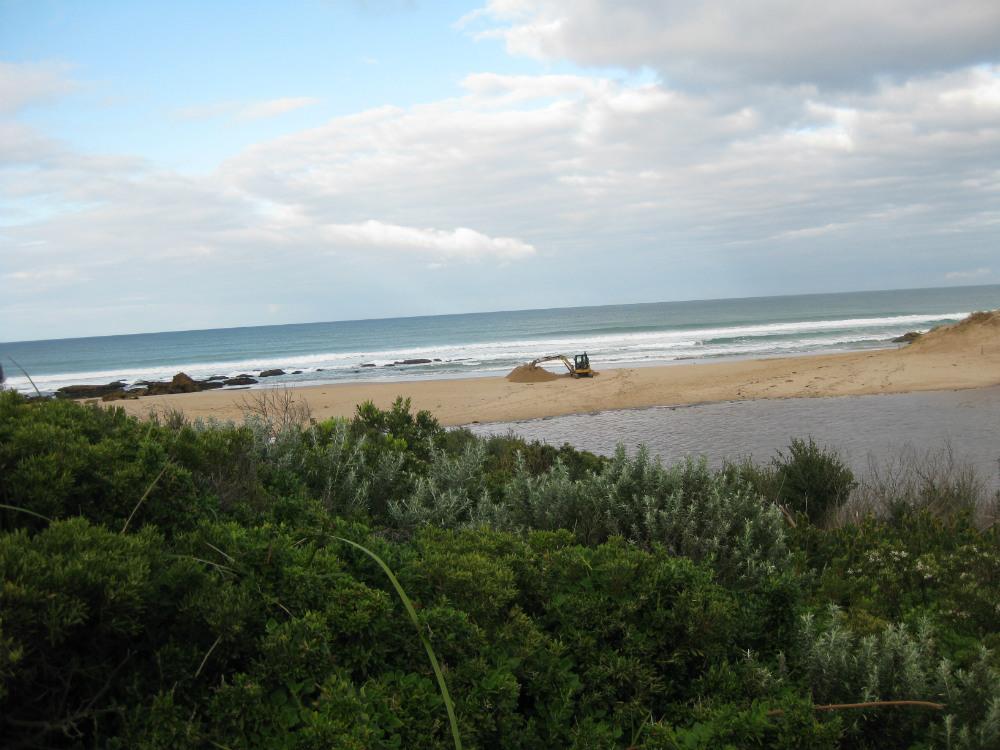
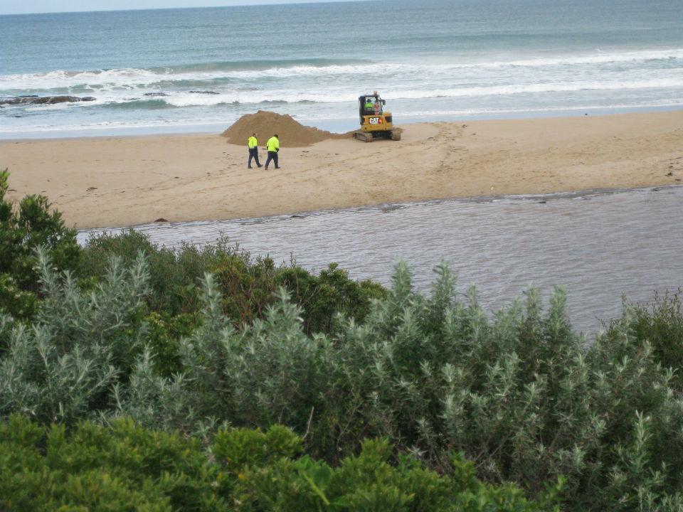
| #9029 | 2 Jul 2014 | Approved | Notes: Surfcoast Shire had just begun artificially opening the estuary. | |

All content, files, data and images provided by the EstuaryWatch Data Portal and Gallery are subject to a Creative Commons Attribution License
Content is made available to be used in any way, and should always attribute EstuaryWatch and www.estuarywatch.org.au