EstuaryWatch Data Portal
PMC Painkalac Creek Observation Site
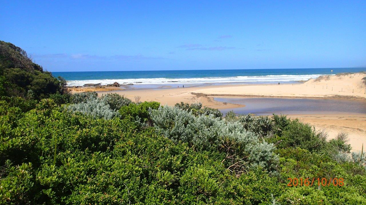
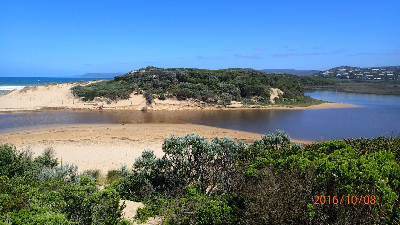
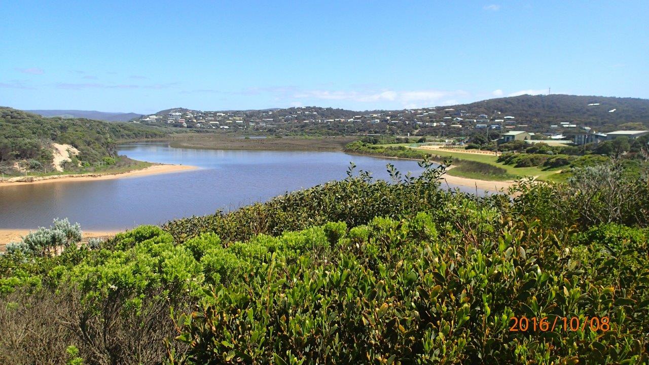
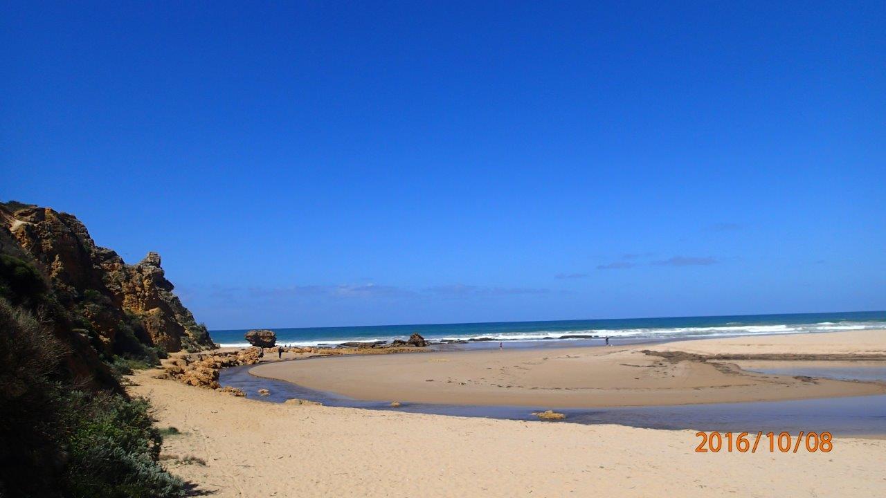
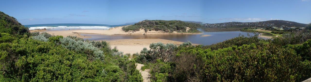
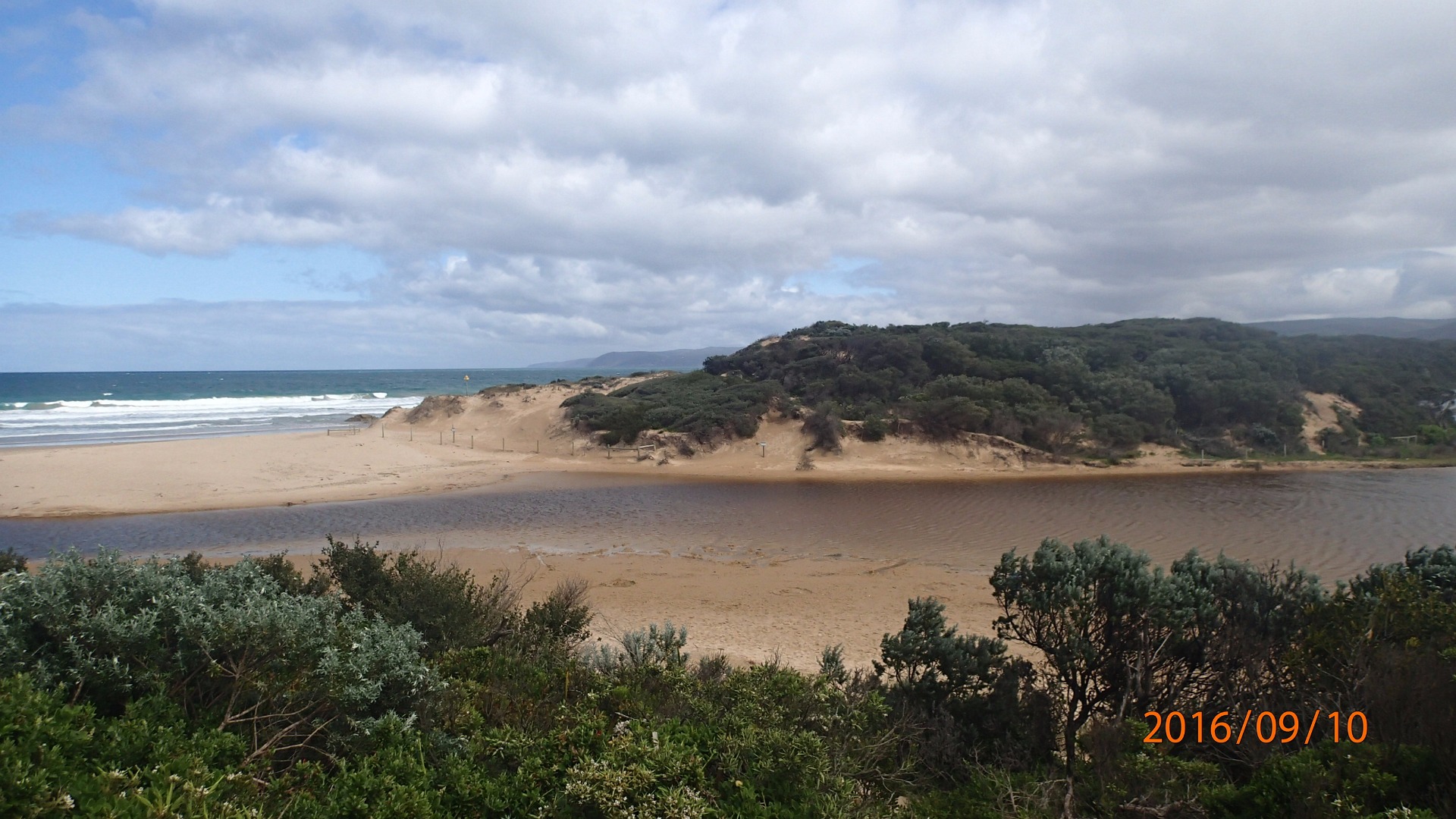
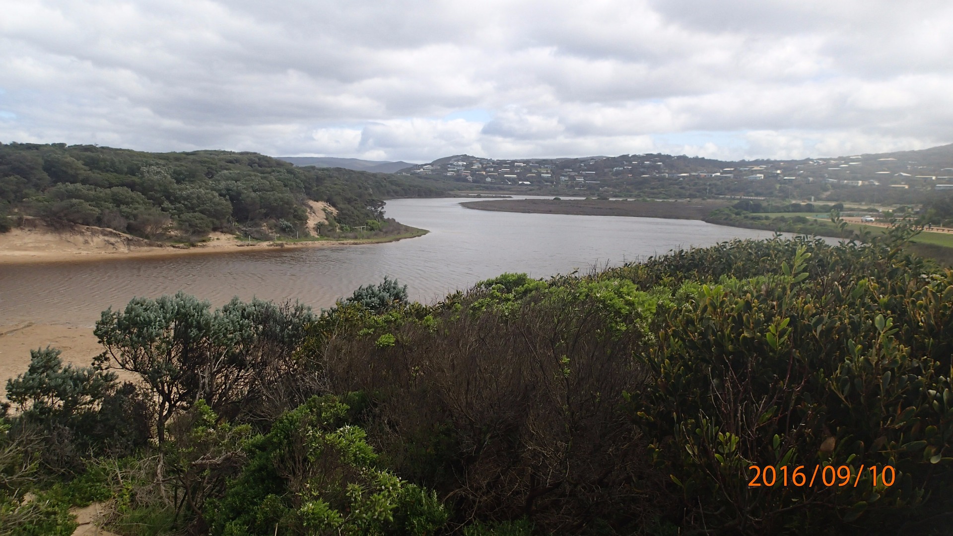
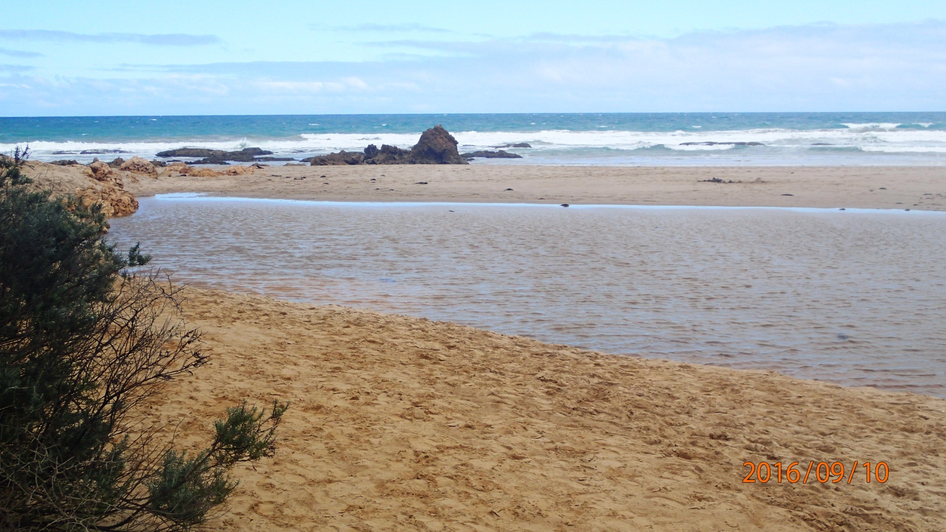
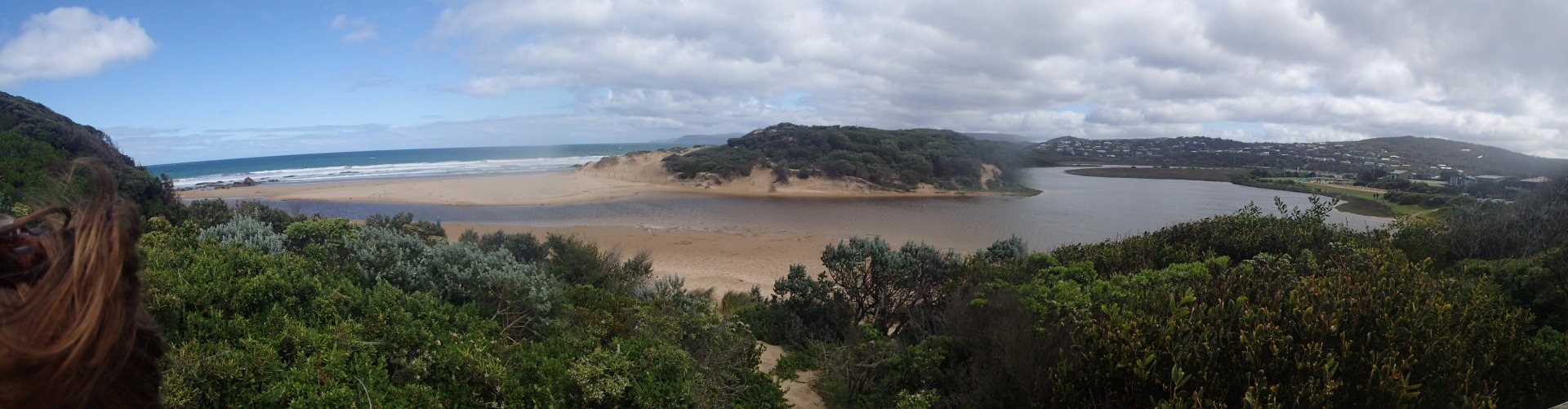
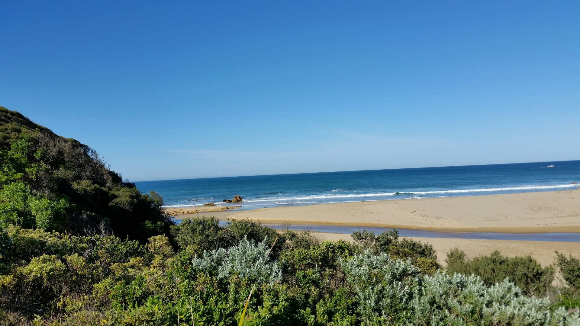
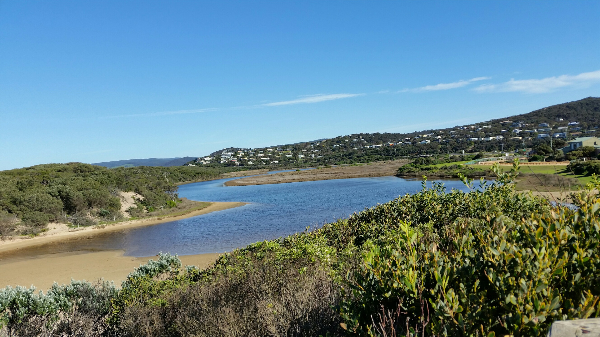
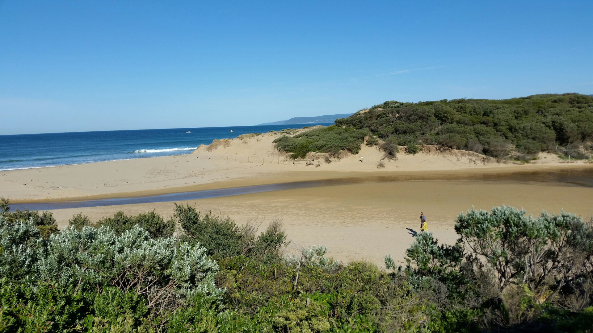
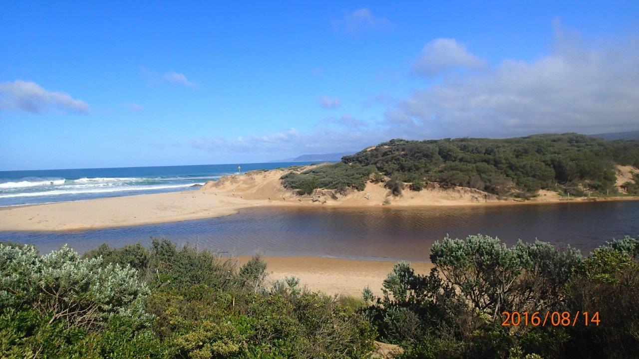
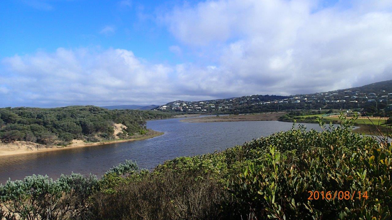
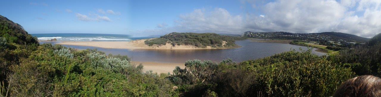
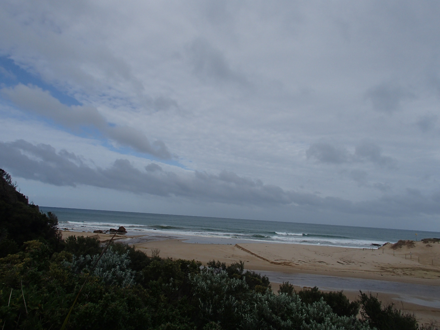
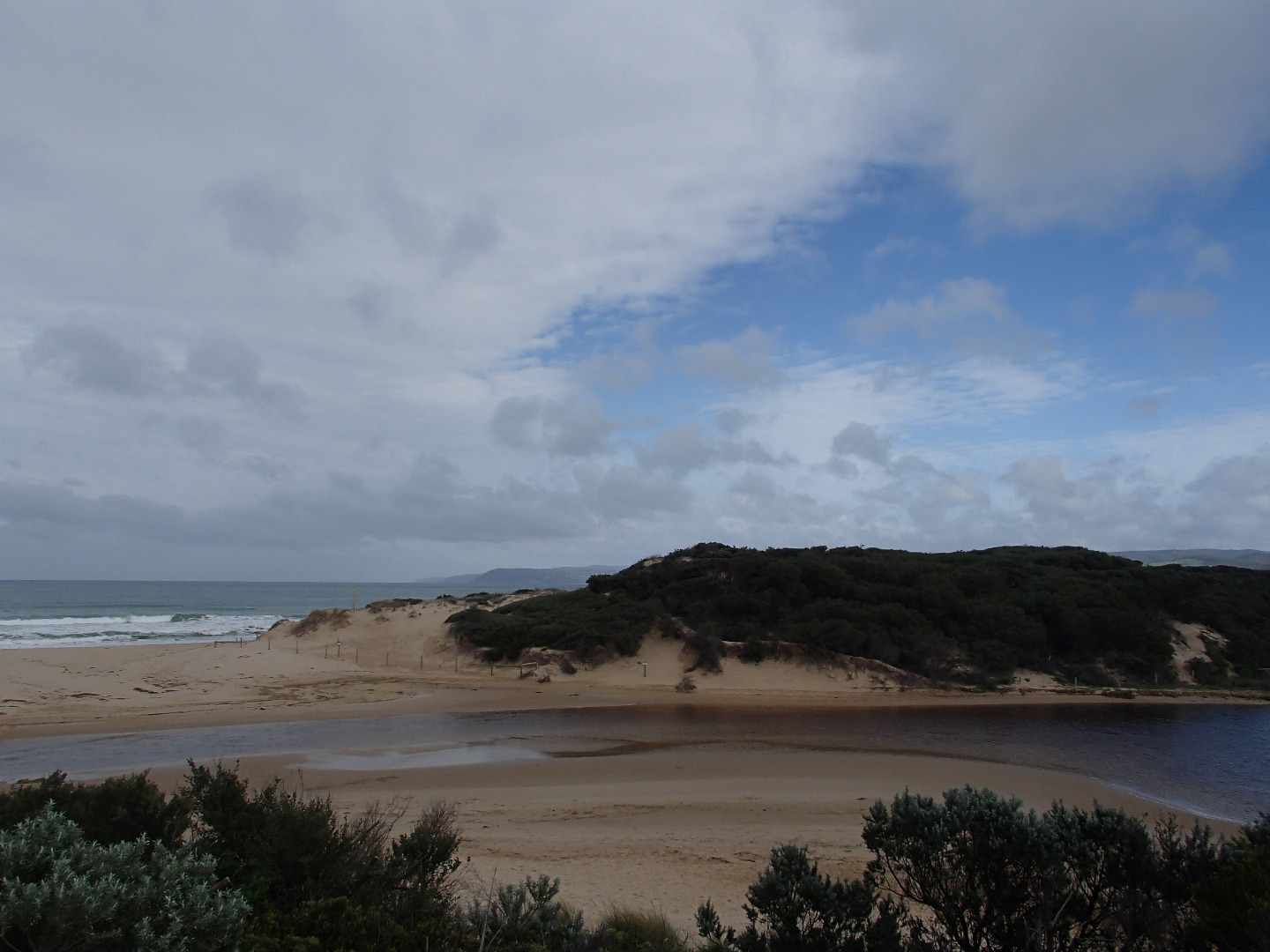
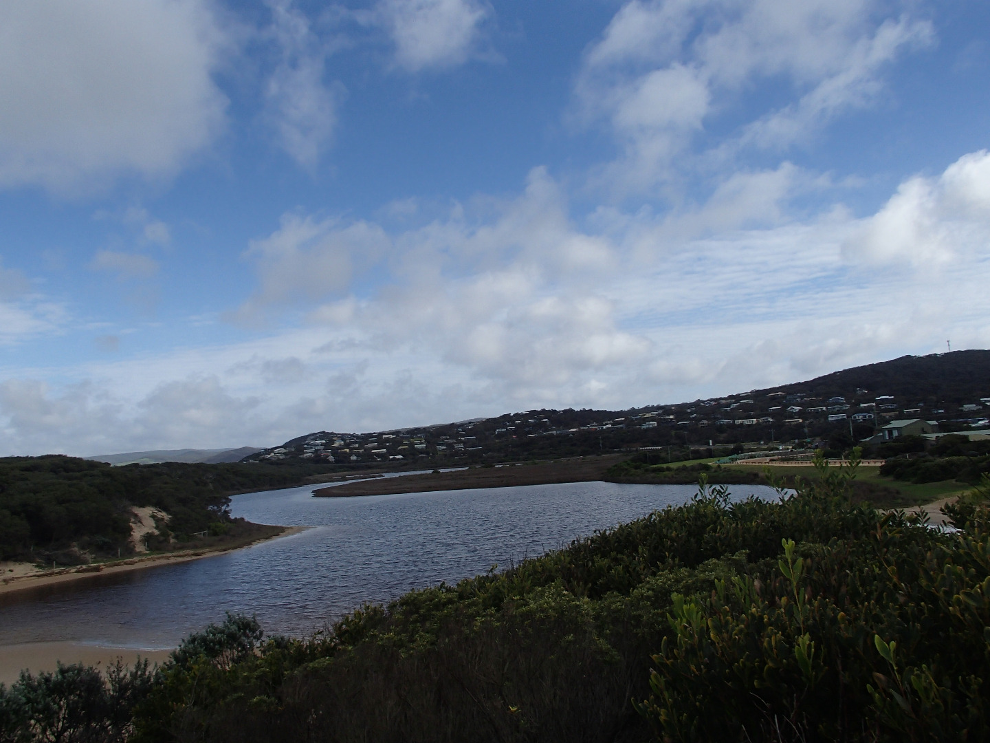
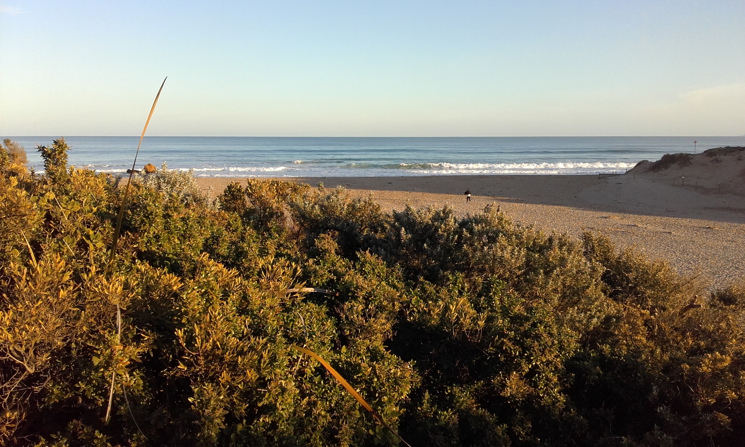
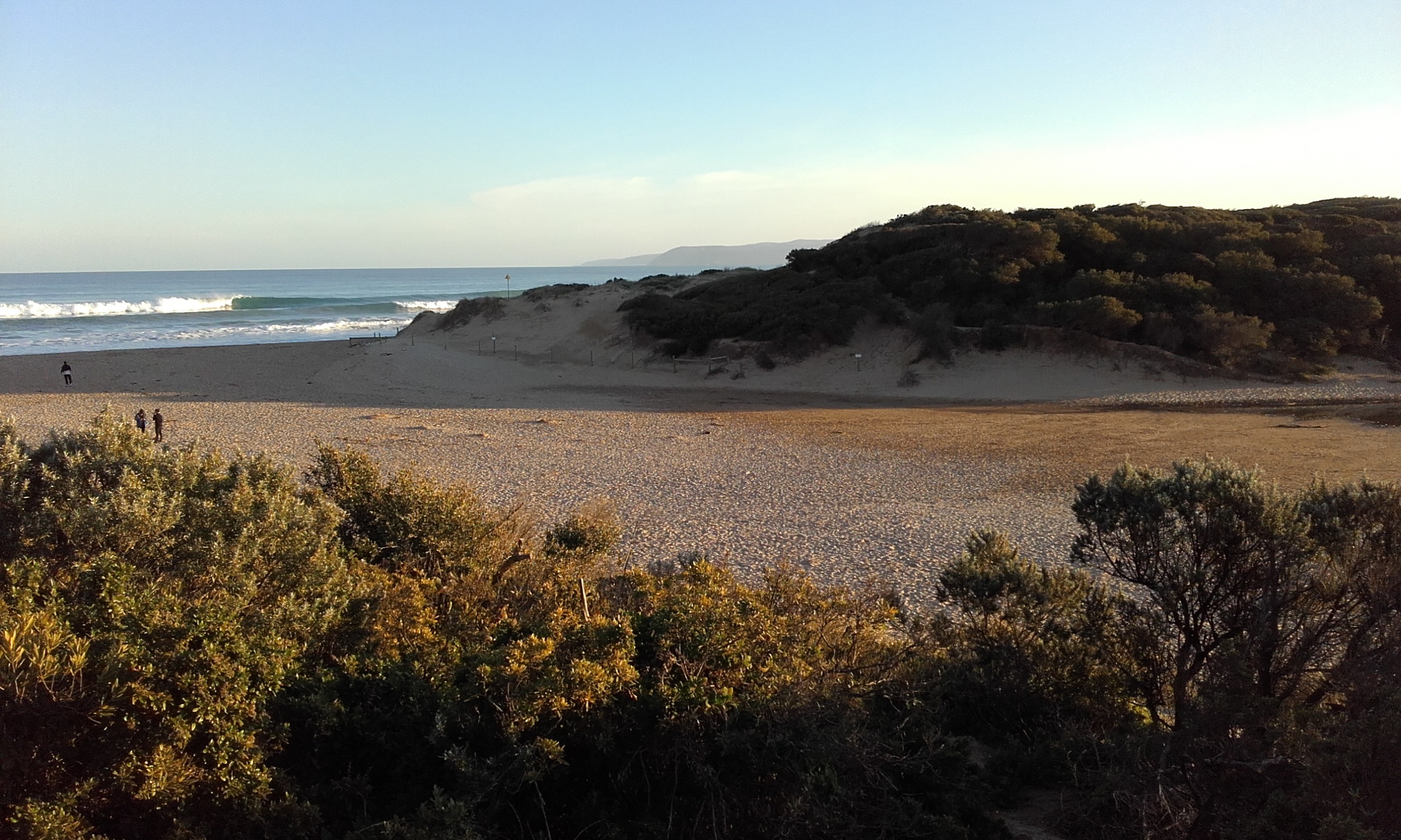
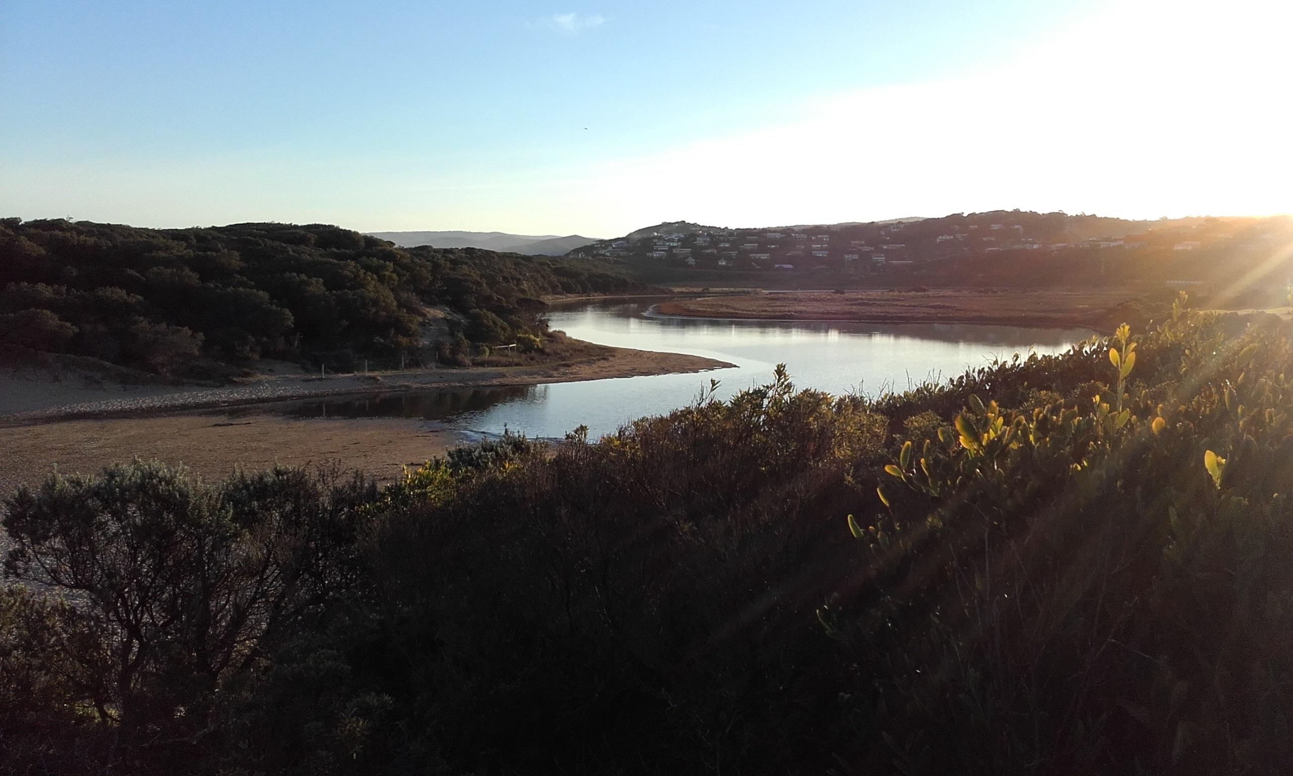
Active Mouth Condition 23-05-2007 - 11-05-2024Painkalac Creek Estuary
| ID | Date | Status | Details | |
|---|---|---|---|---|
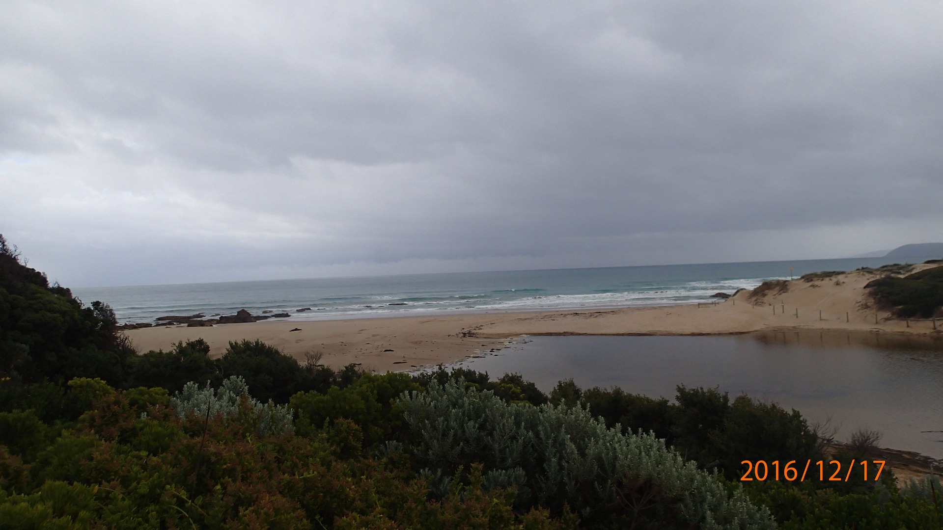
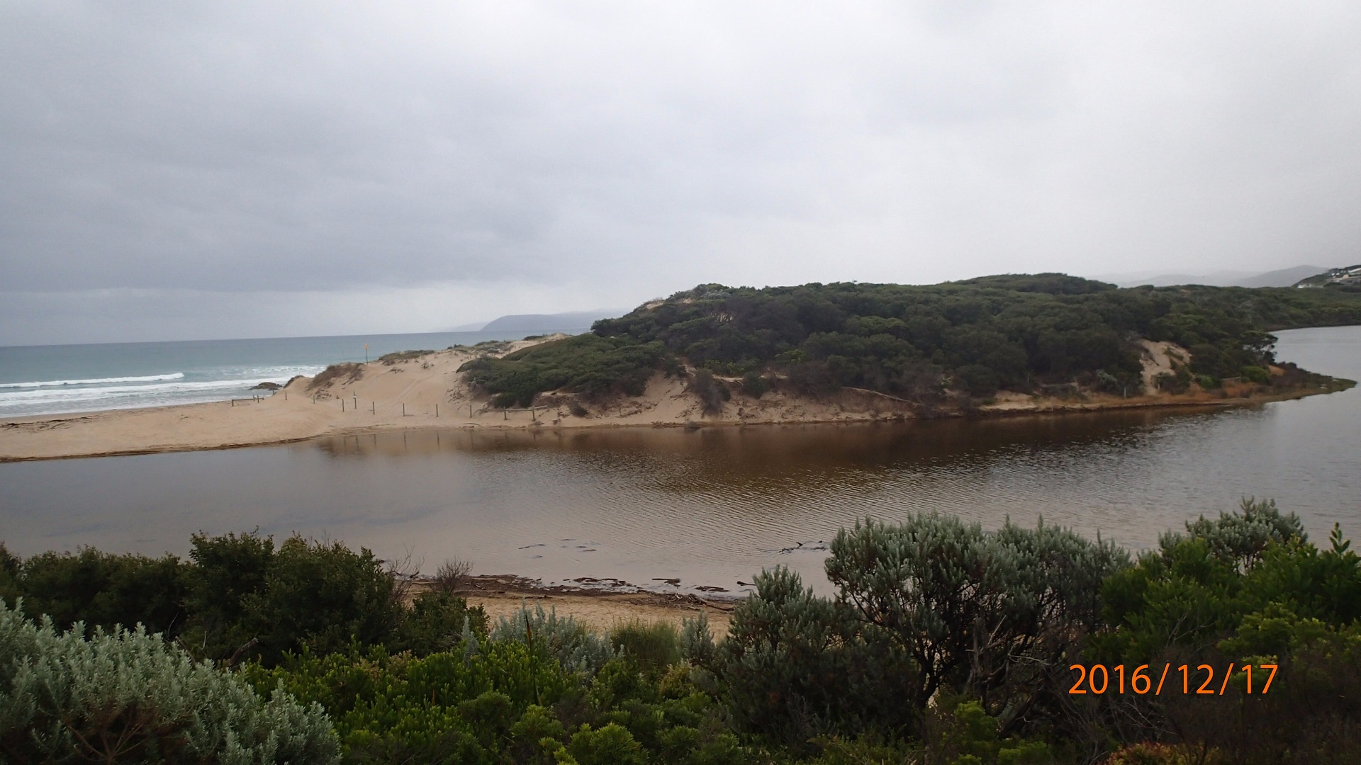
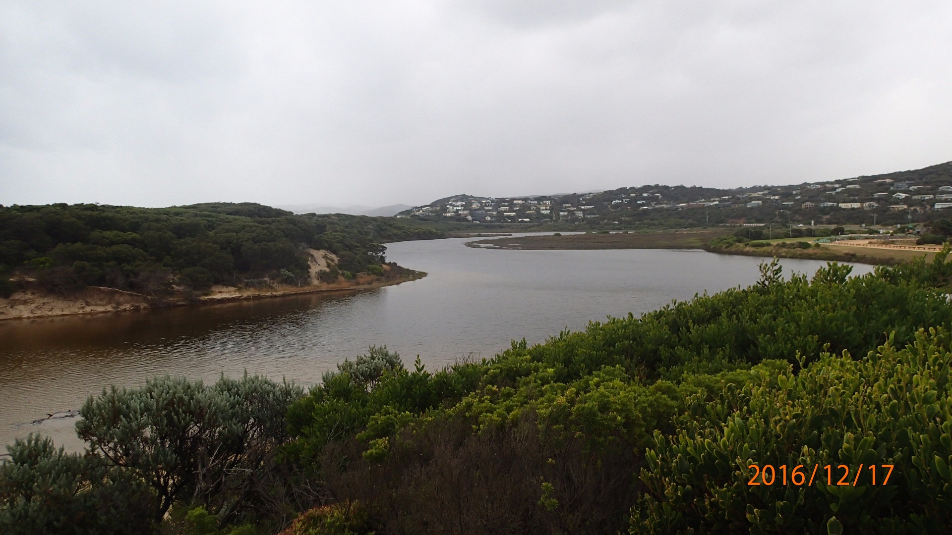
| #10629 | 17 Dec 2016 | Approved |
Notes:
The appearance of the sand suggested overtopping at high tide |
|
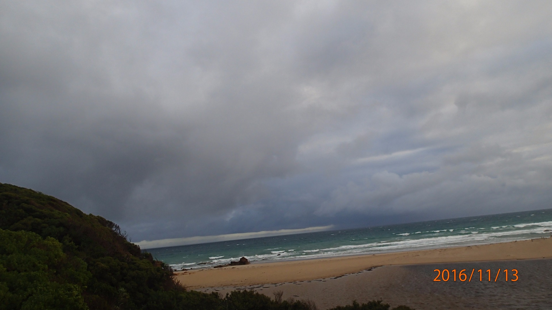
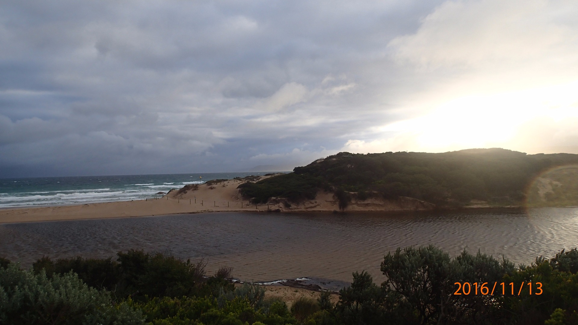
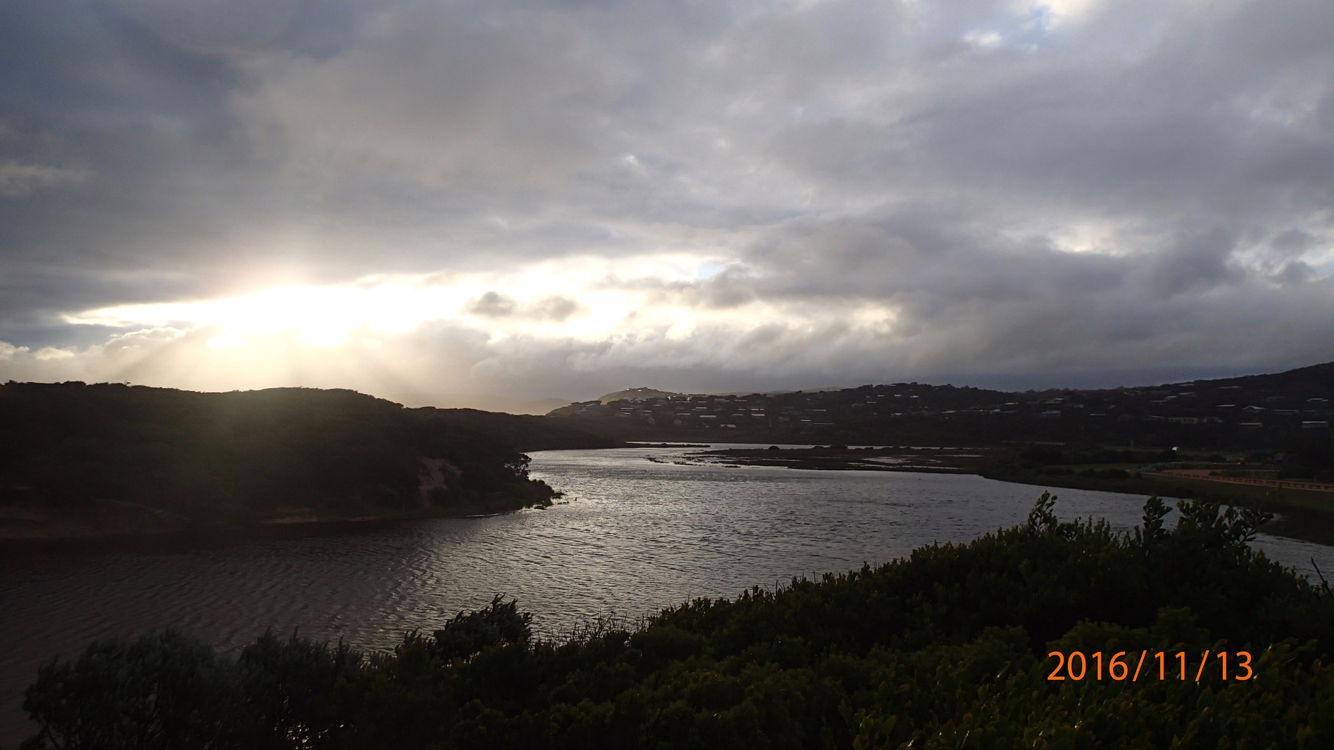
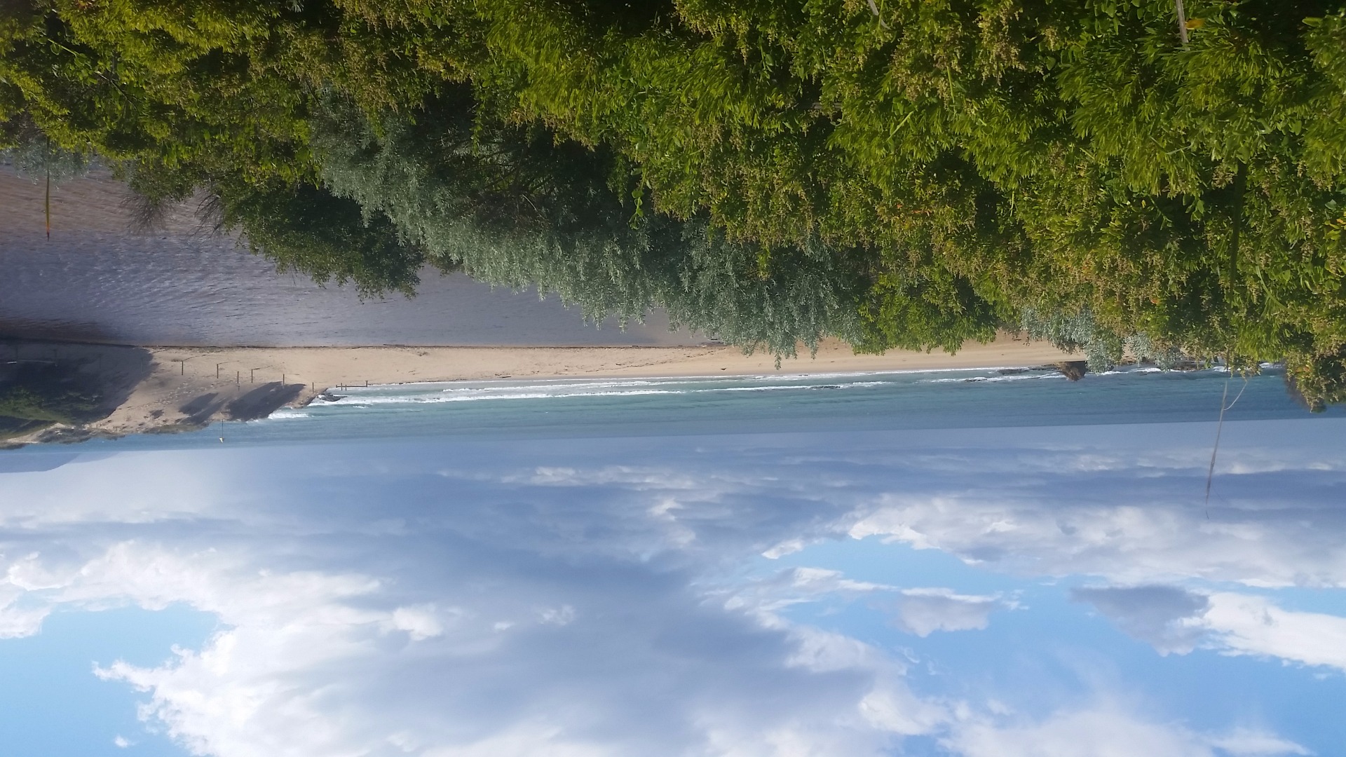
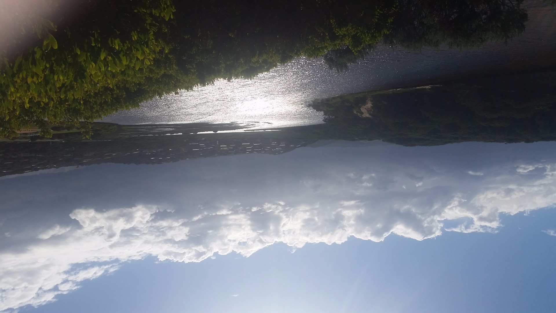
| #10538 | 12 Nov 2016 | Approved |
Notes:
Photos taken on 12/11/2016 did not show estuary clearly. Re-did photos 13/11/2016, water level remained the same, and estuary closed. |
|
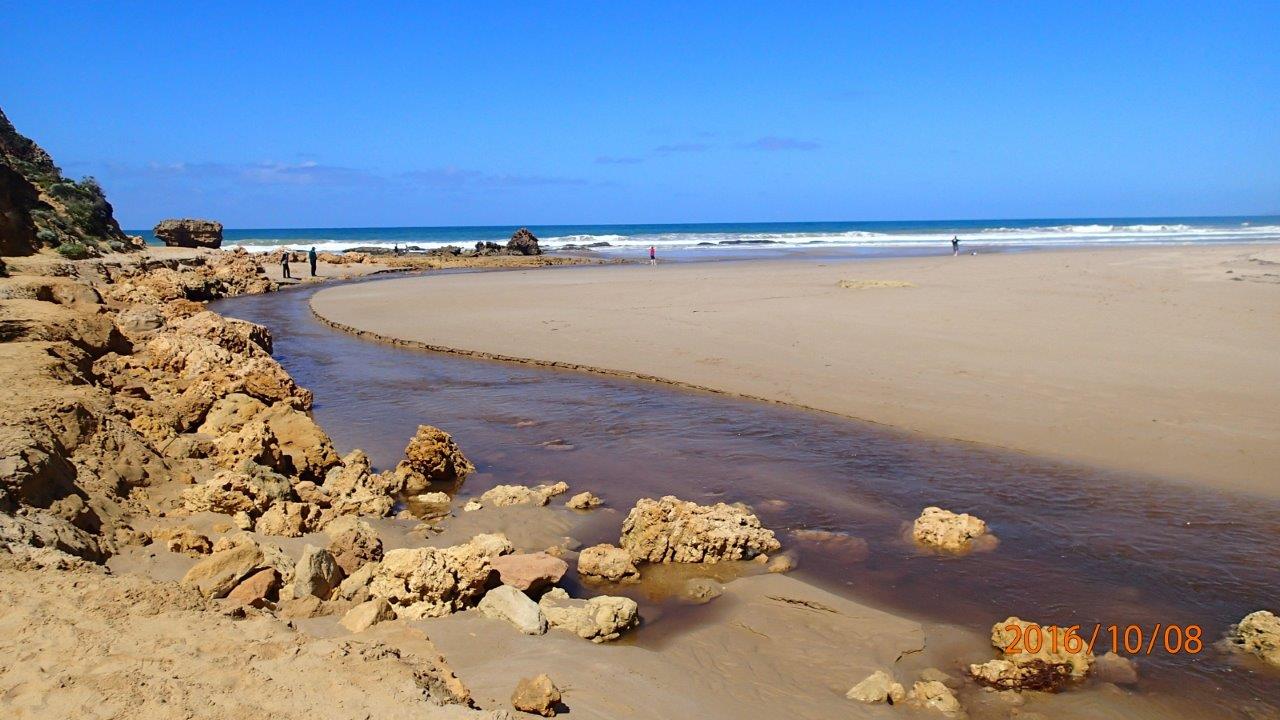
| #10492 | 8 Oct 2016 | Approved |
Notes:
Extra photos were taken of curving channel opening, not clearly visible from photopoint site |
|
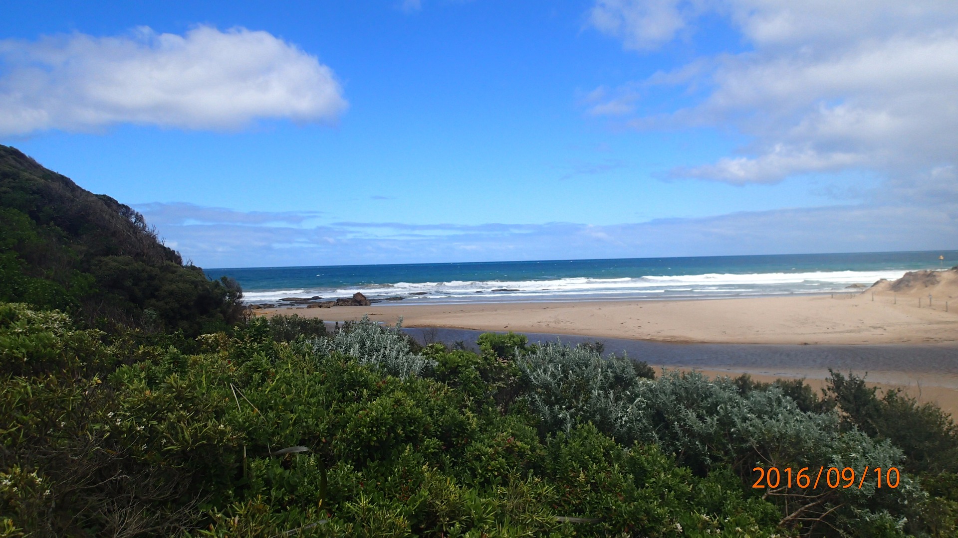
| #10515 | 10 Sep 2016 | Approved |
Notes:
Unsure if we can say 'perched' after one observation? The definition says "consistently above MSL". |
|
| #10495 | 18 Aug 2016 | Approved |
Notes:
Two large sandstone structures. One on left has gone. Must have collapsed. Located to the left of the estuary. Good flow. |
|
| #10516 | 14 Aug 2016 | Approved |
Notes:
At the time of monitoring estuary was not actually open, but evidence of over-topping at medium-high tide. Only a couple of metres of flat sand between swash limits, no berm to measure. |
|
| #10617 | 25 Jul 2016 | Approved |
Notes:
|
|
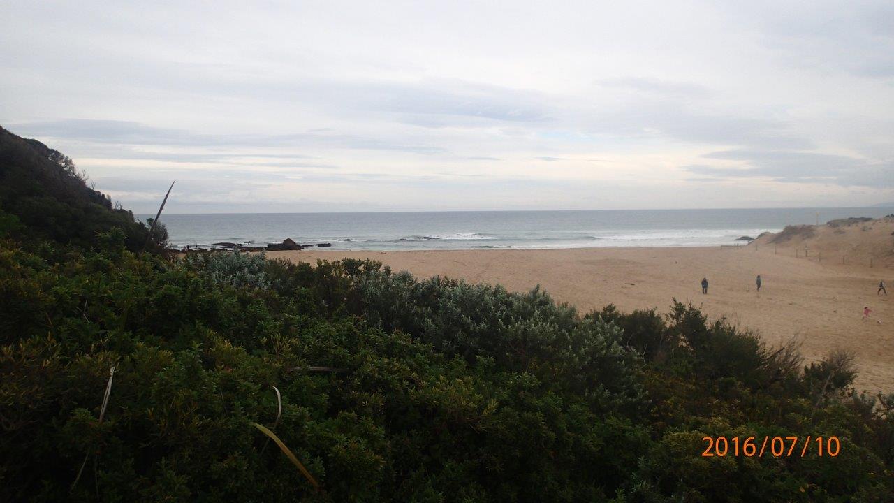
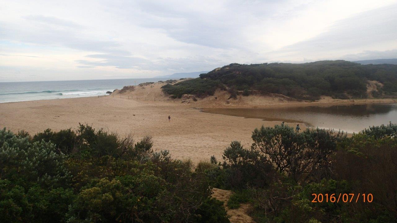
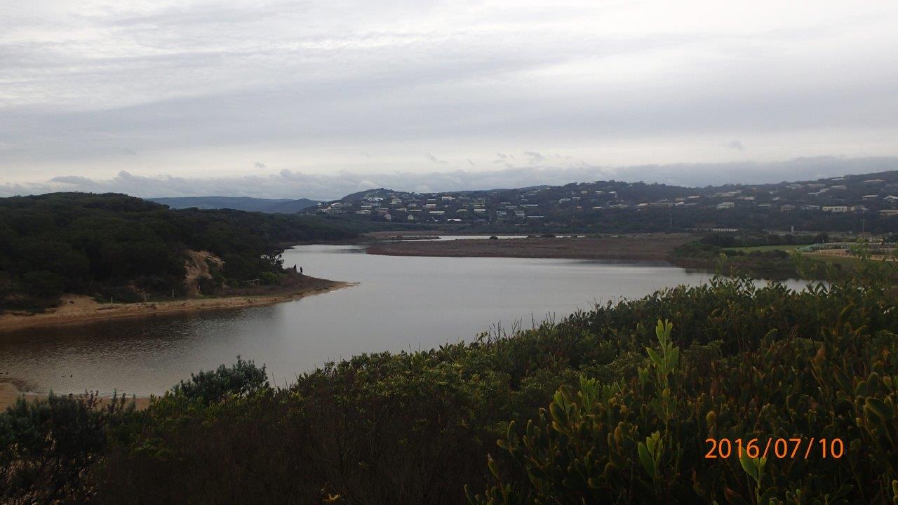
| #10618 | 10 Jul 2016 | Approved | ||
| #10403 | 3 Jul 2016 | Approved |
Notes:
Berm to high to measure using the berm pole. Berm length is 85m.
|
|
| #10395 | 13 Jun 2016 | Approved |
Notes:
Unable to see horizon above berm - so unable to measure height. 80 paces (m) from estuary to wave line. |
|


All content, files, data and images provided by the EstuaryWatch Data Portal and Gallery are subject to a Creative Commons Attribution License
Content is made available to be used in any way, and should always attribute EstuaryWatch and www.estuarywatch.org.au