EstuaryWatch Data Portal
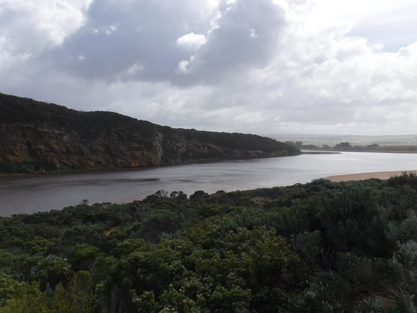
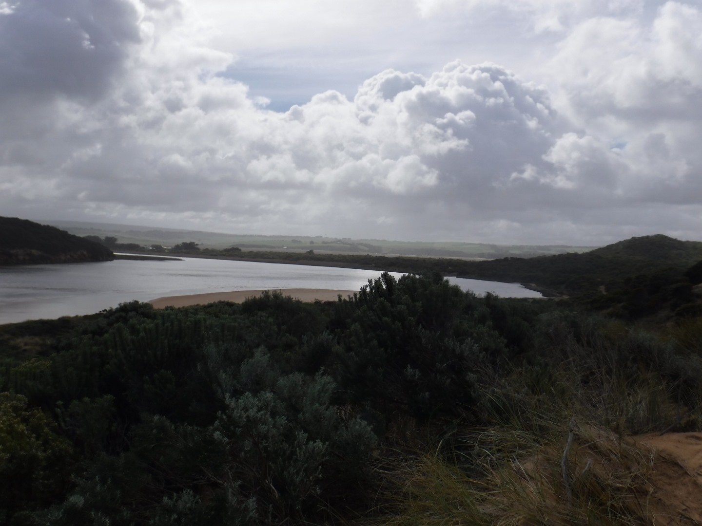
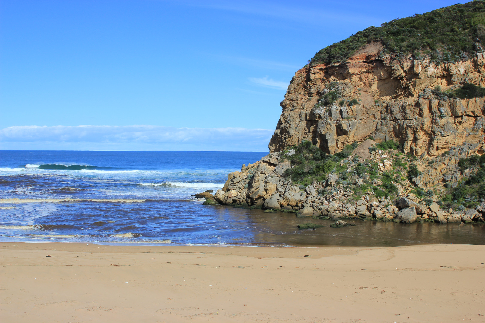
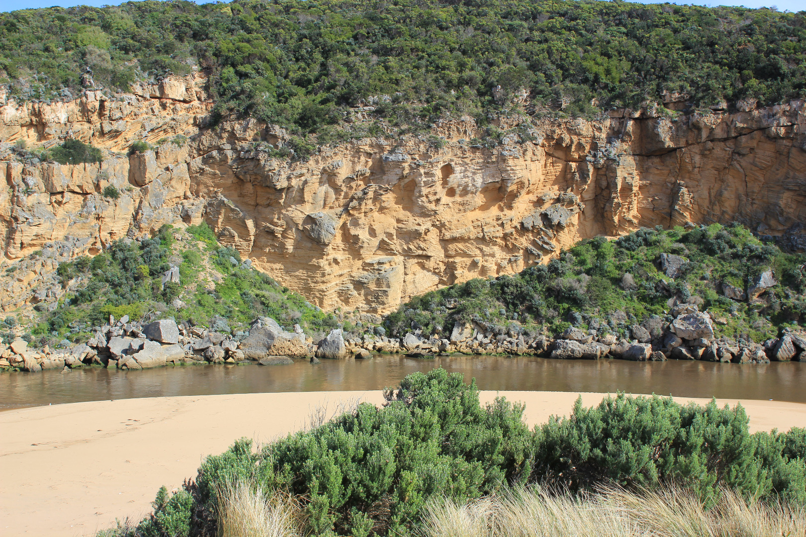
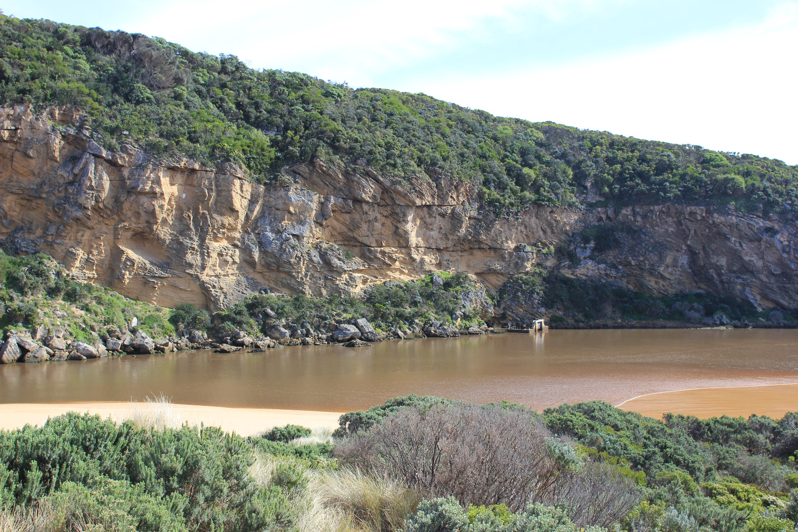
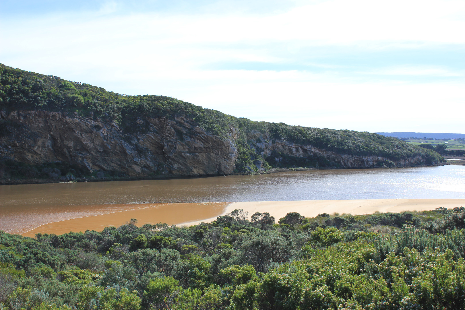
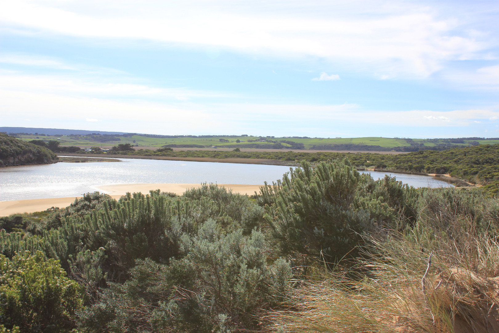
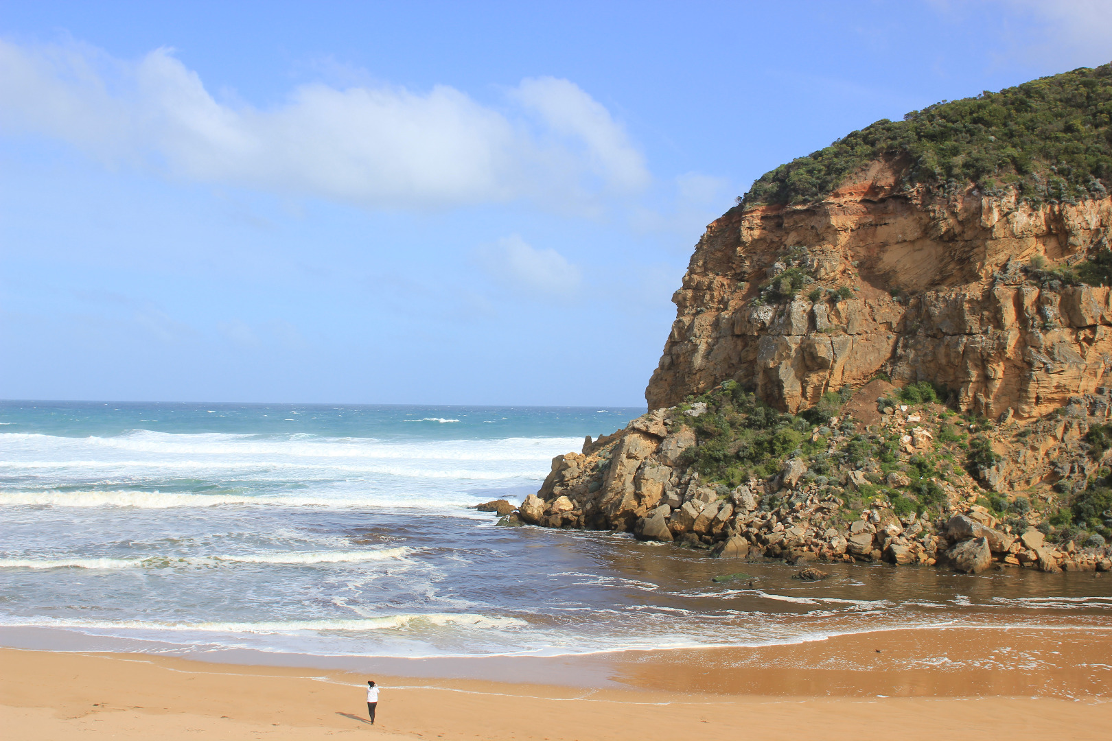
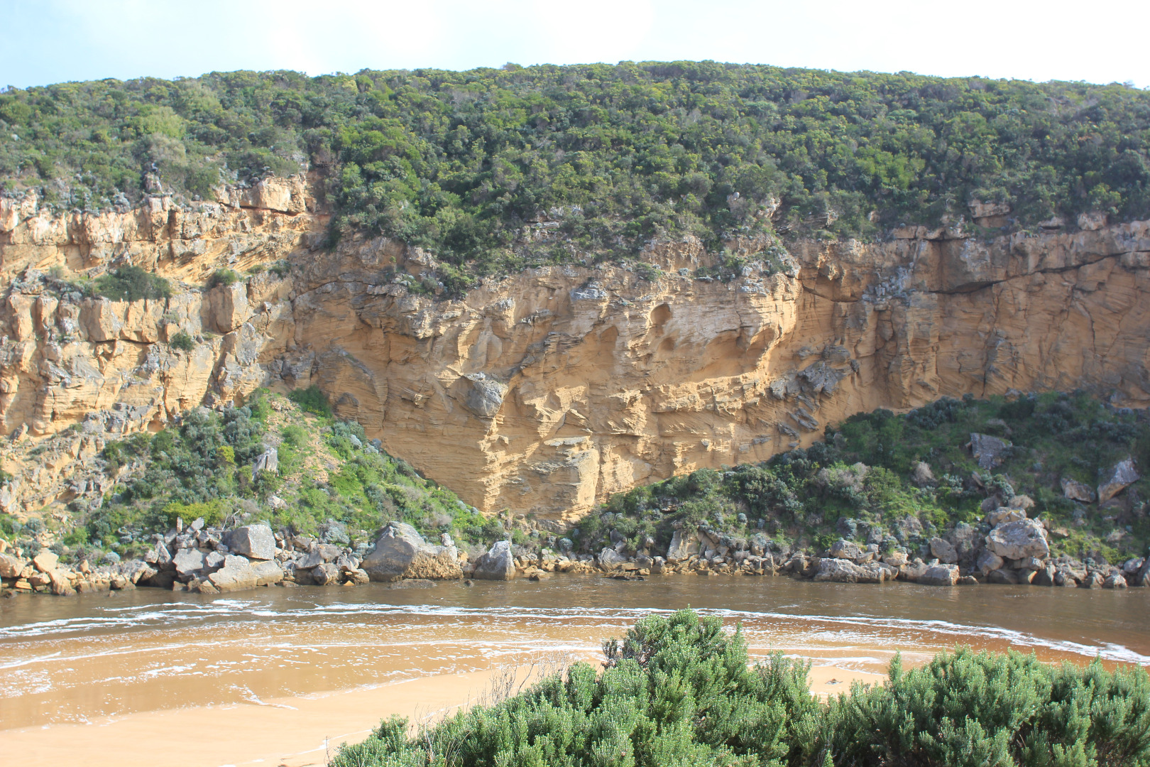
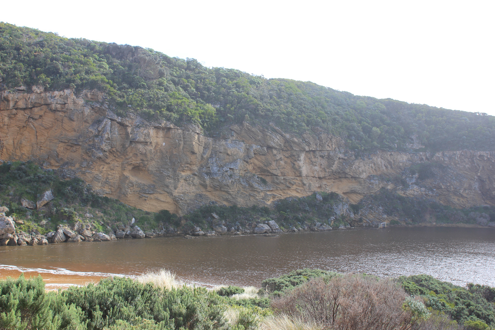
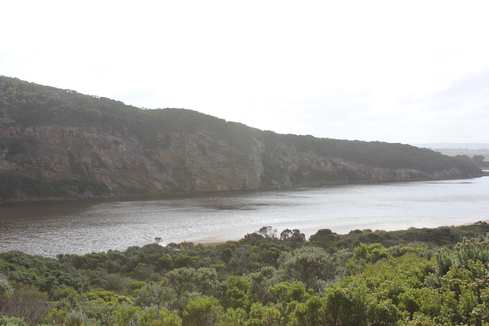
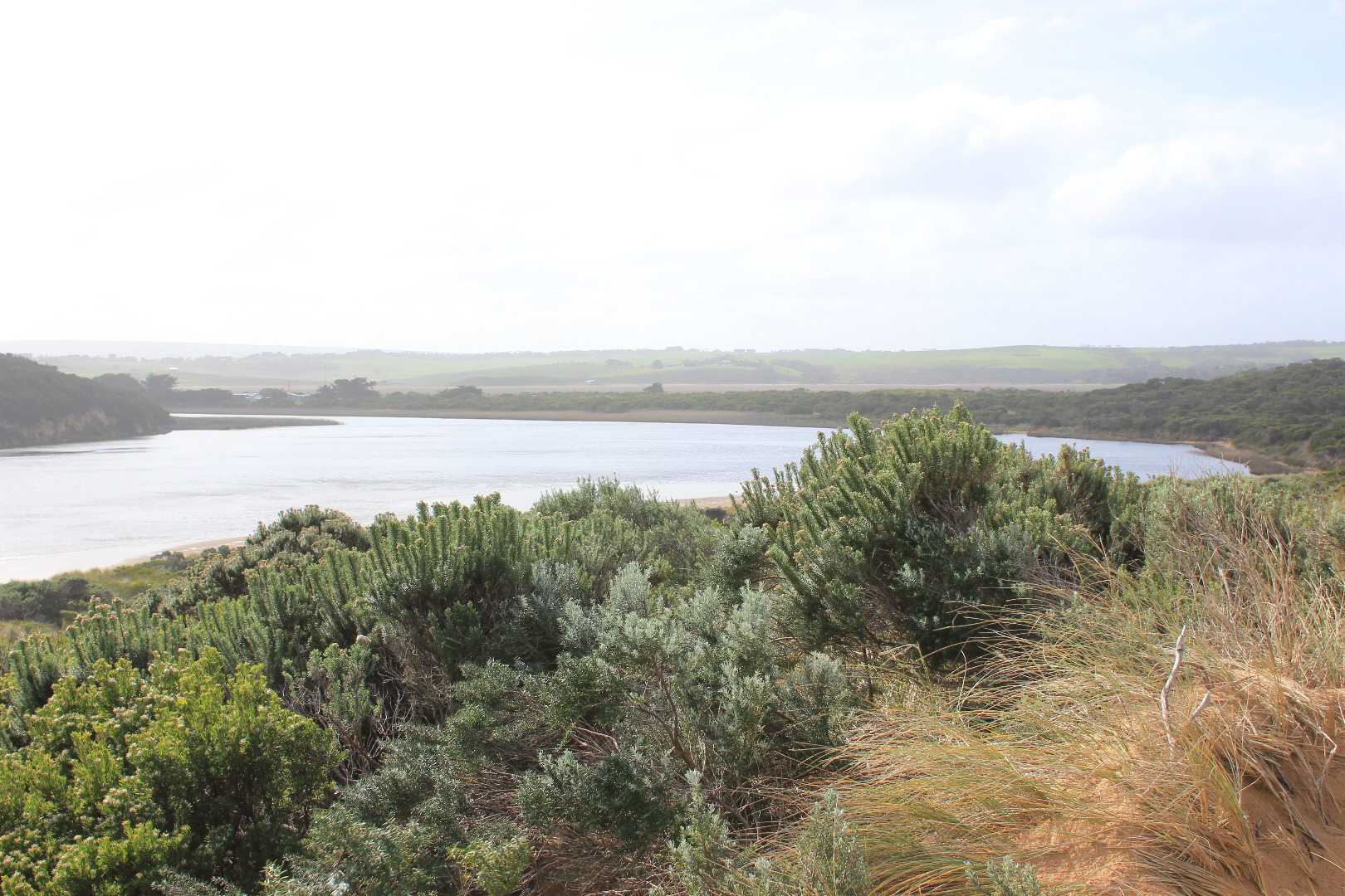
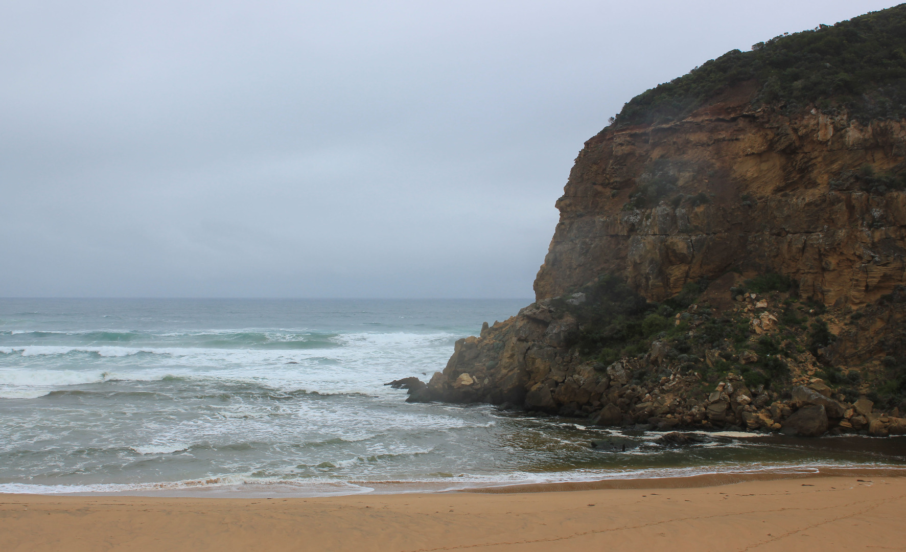
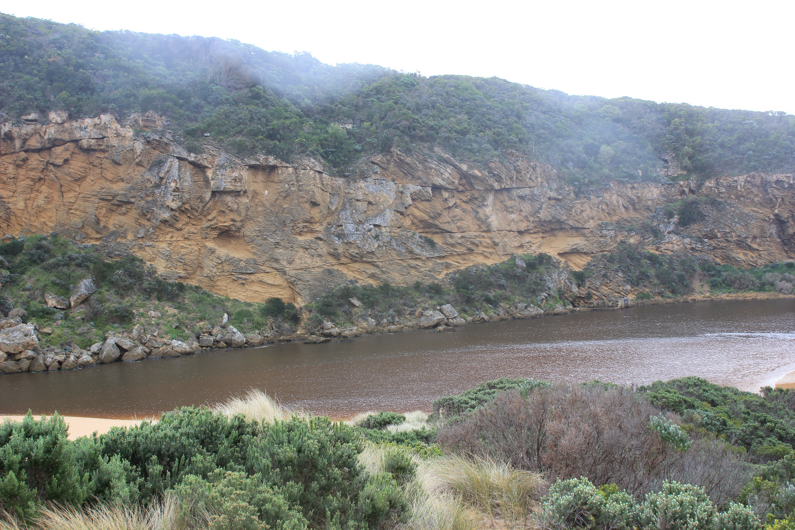
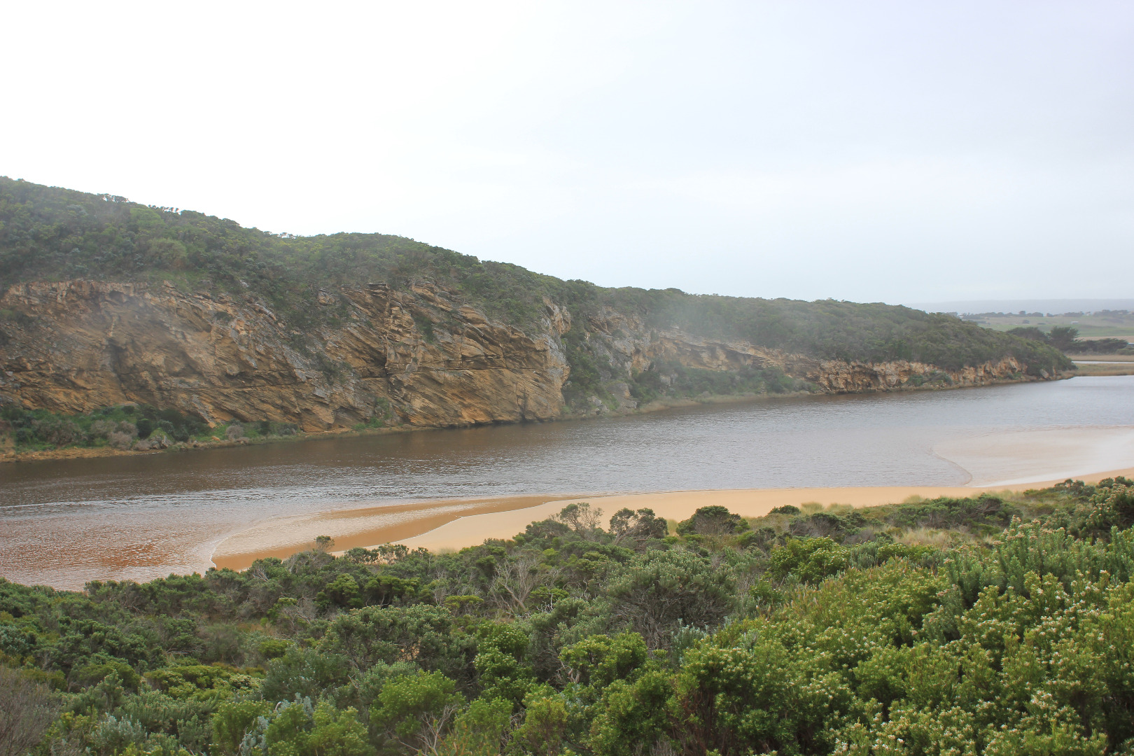
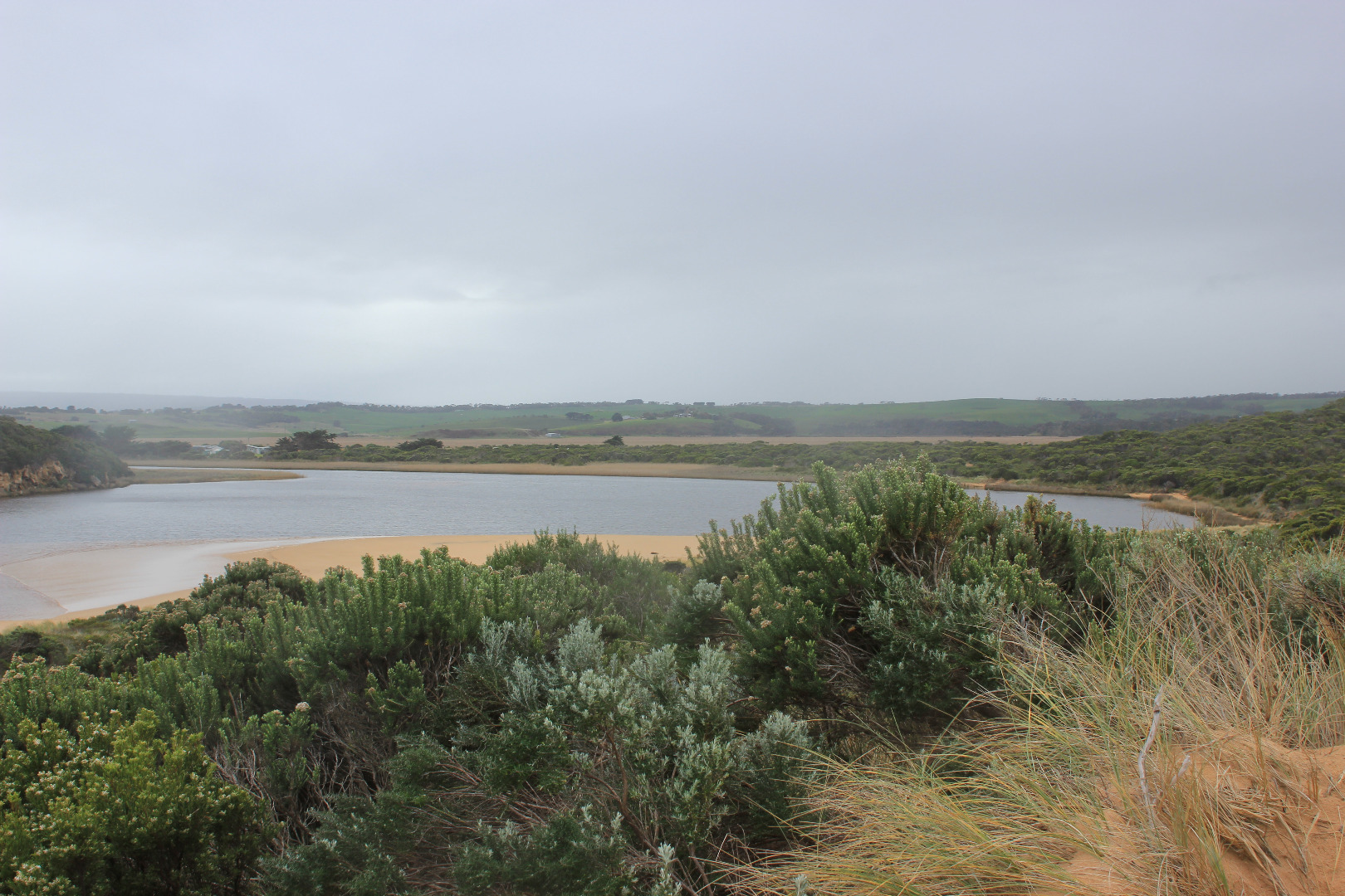
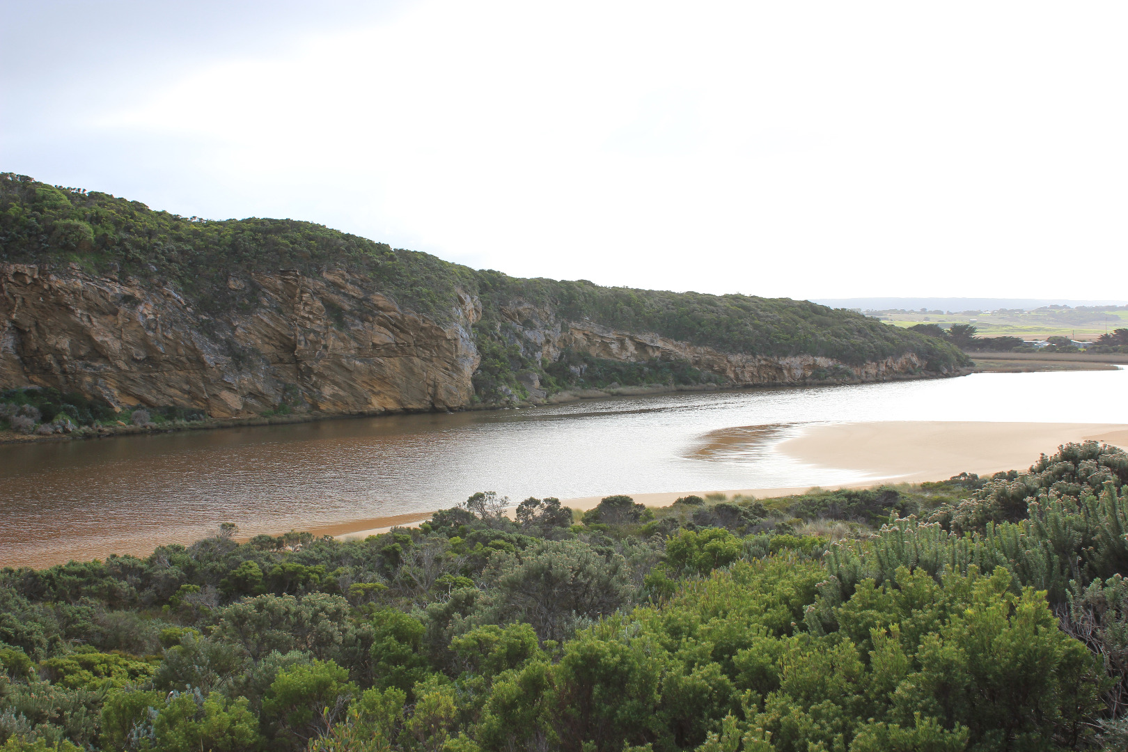
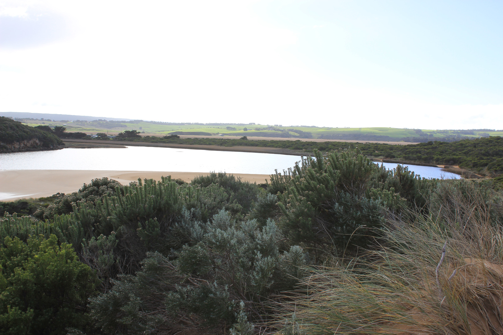
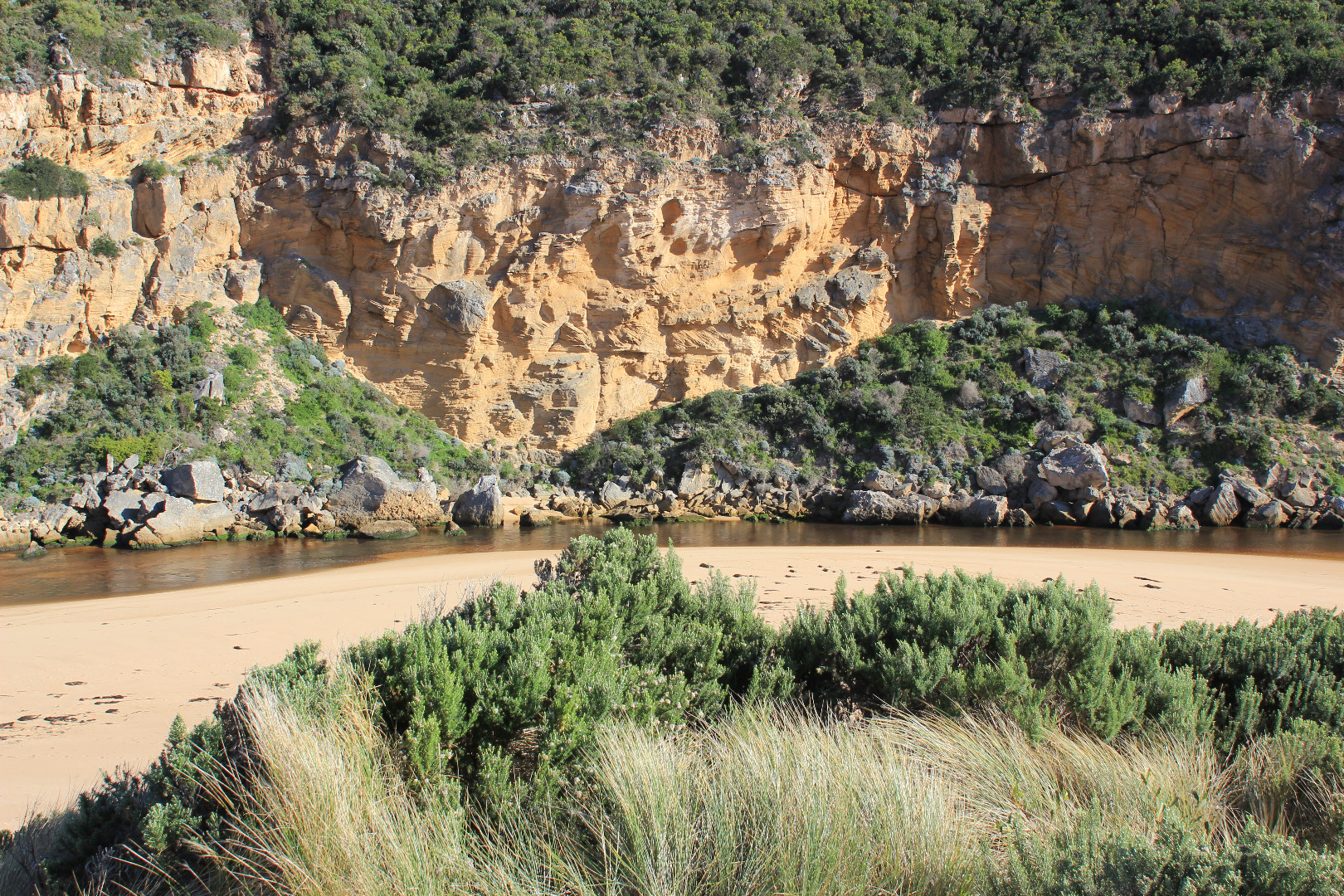
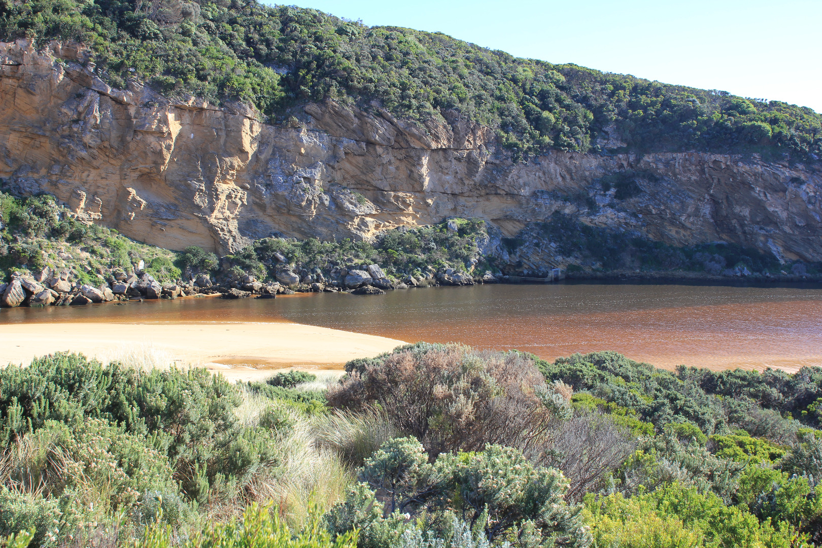
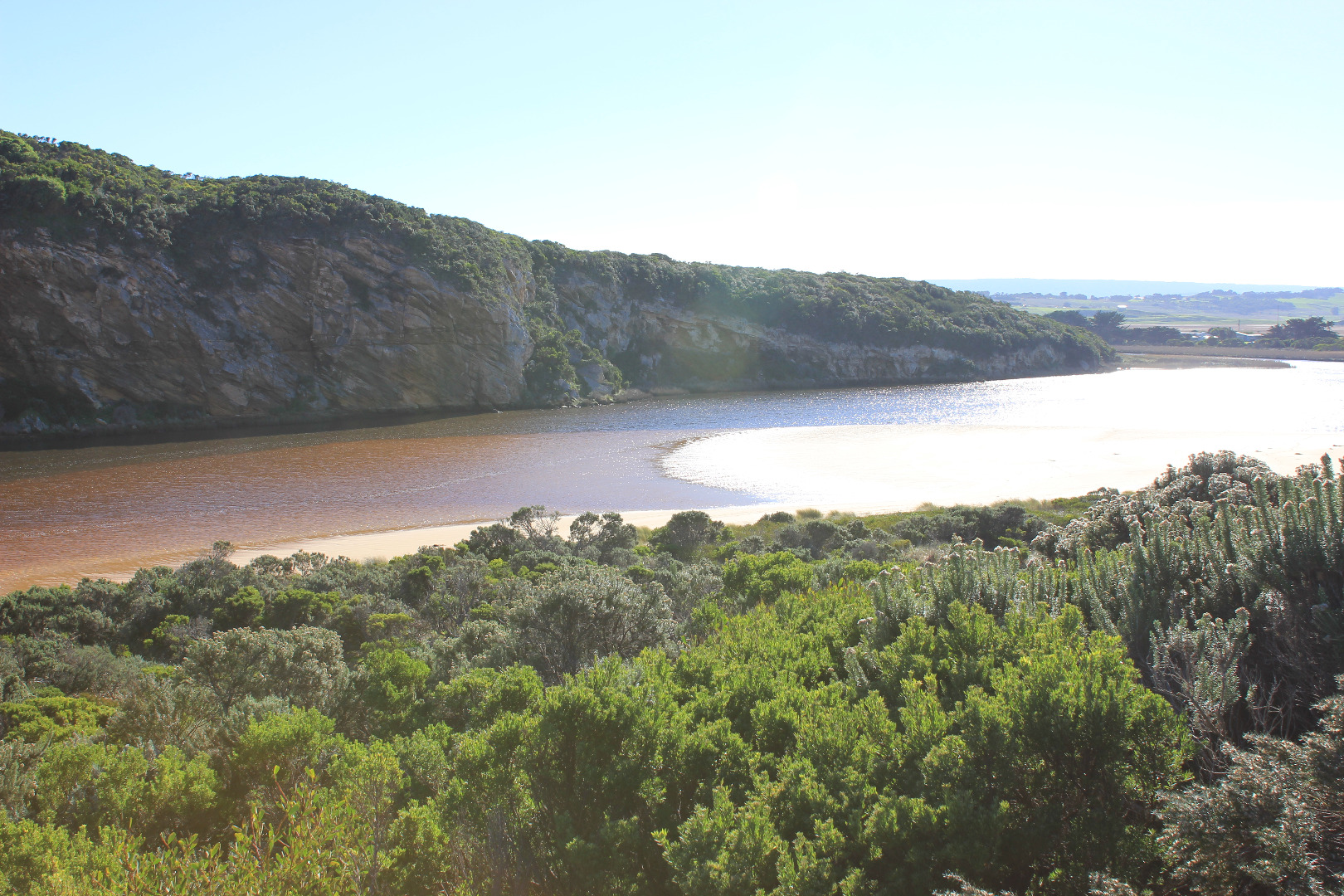
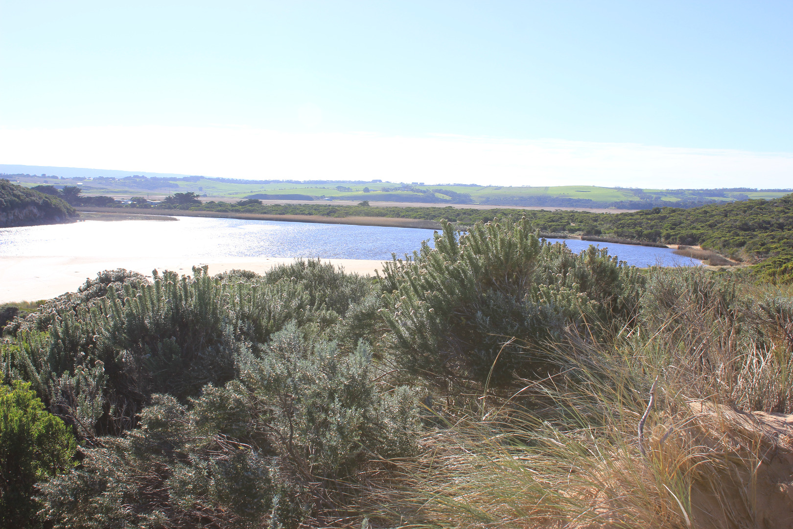
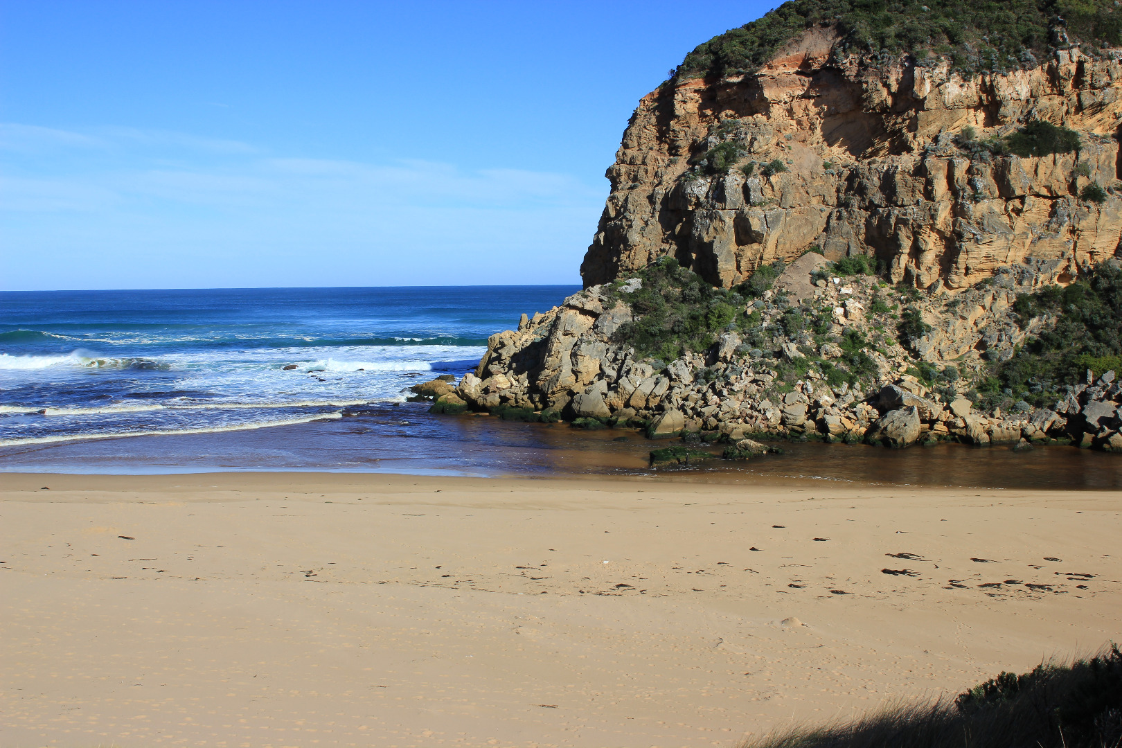
GMC Gellibrand River Estuary Mouth Observation Site
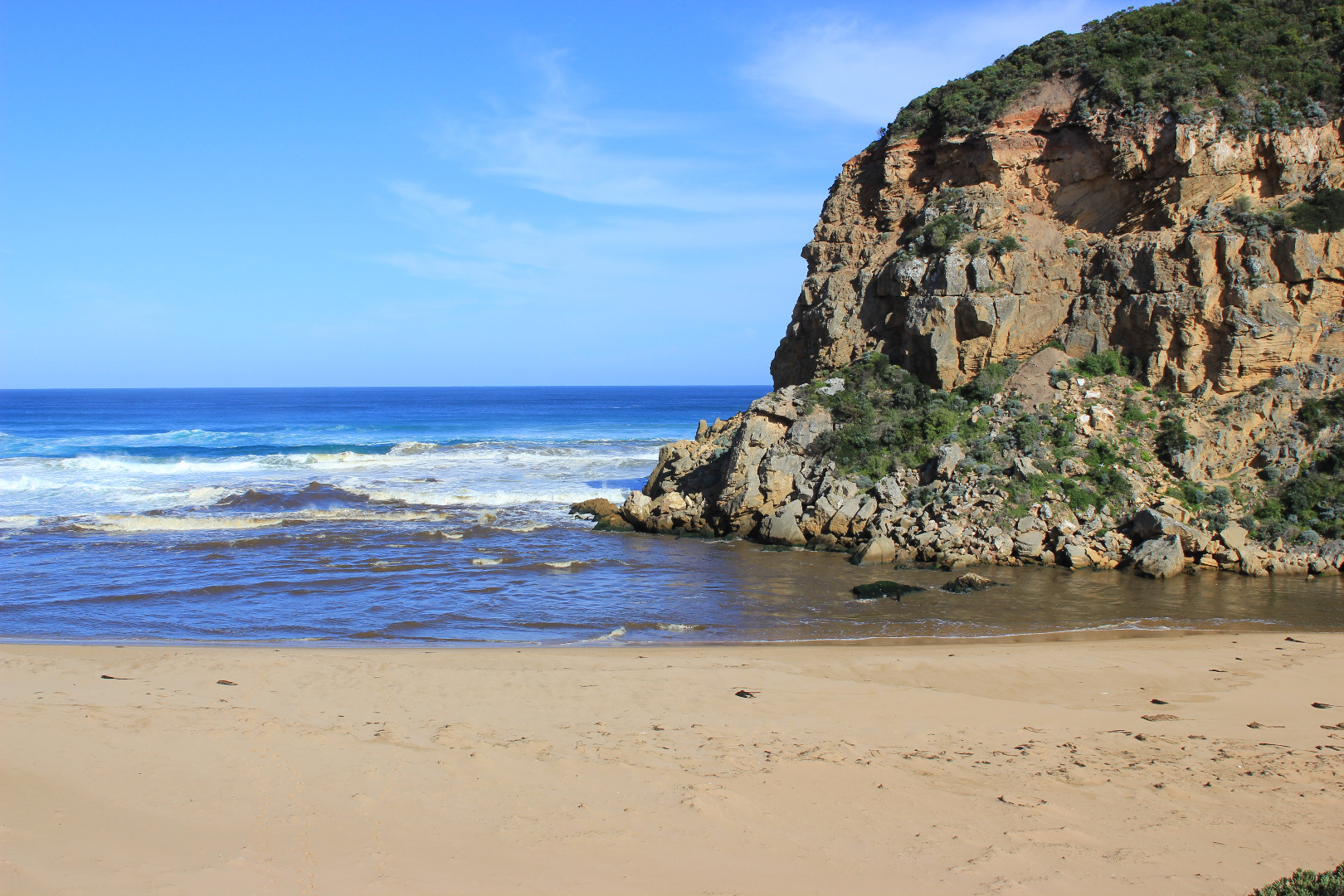
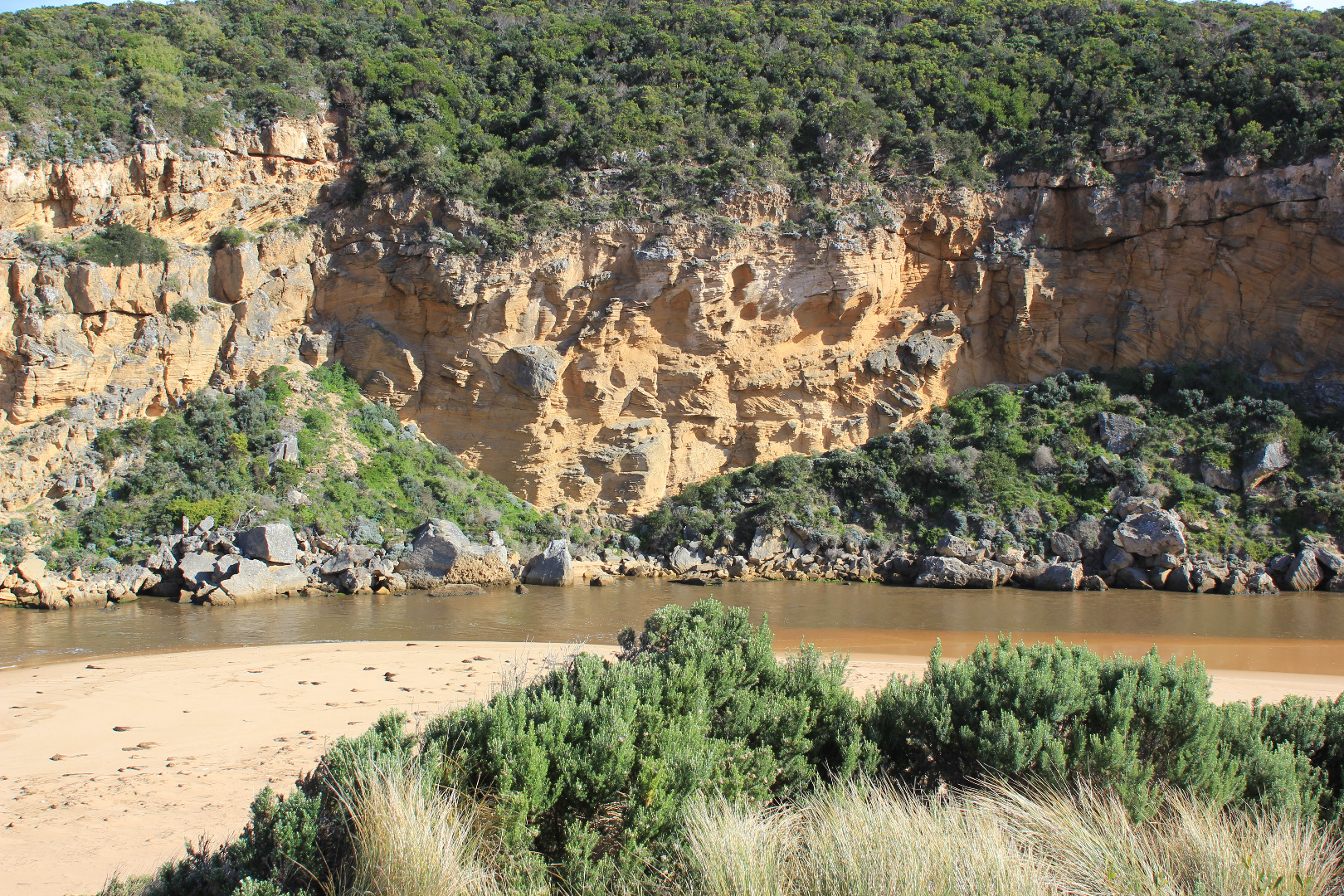
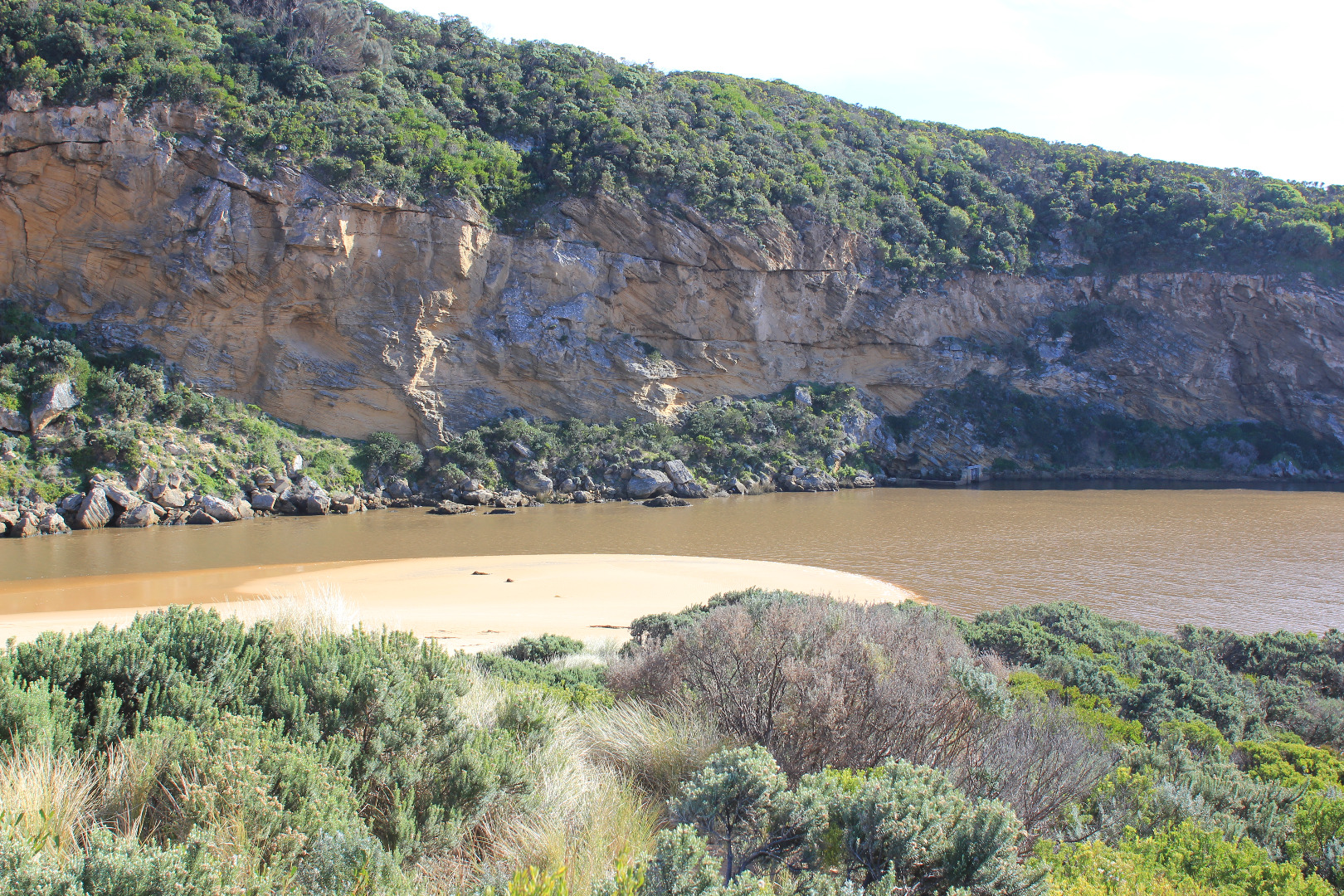
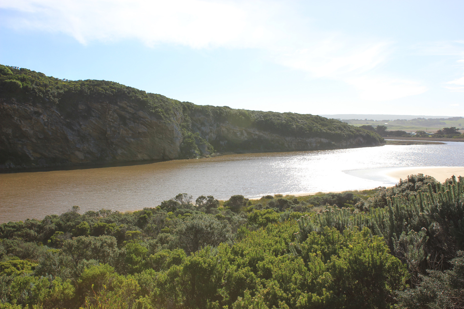
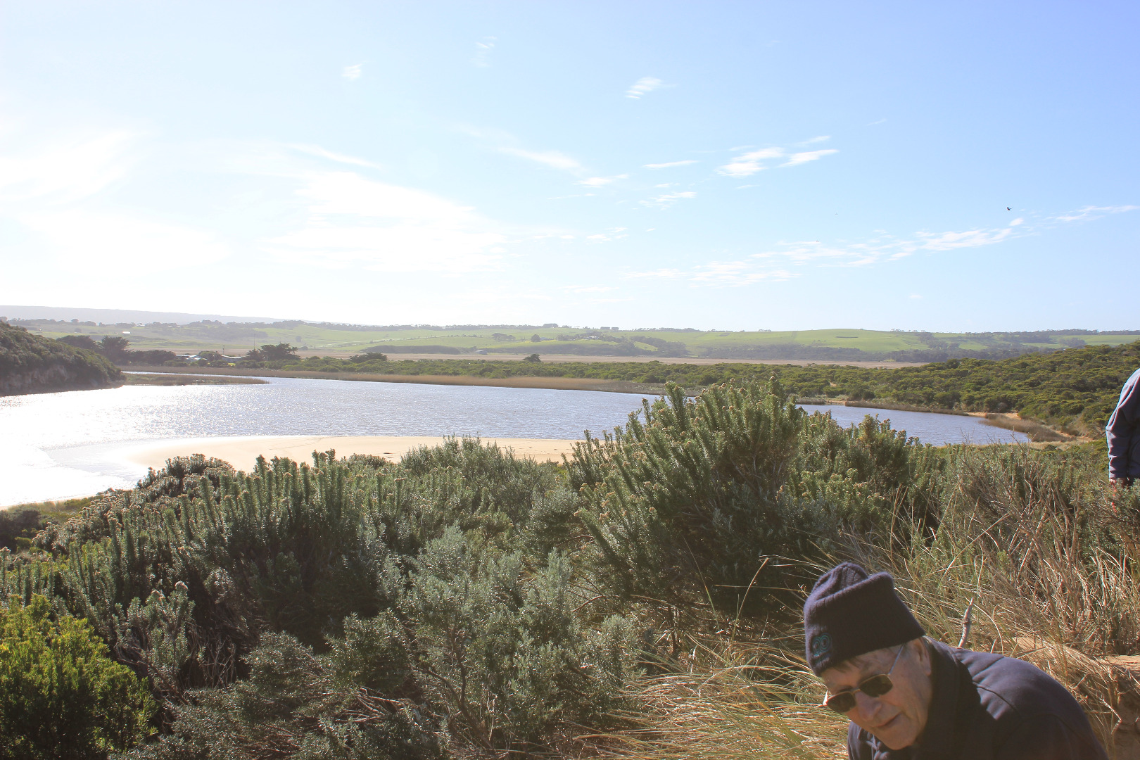
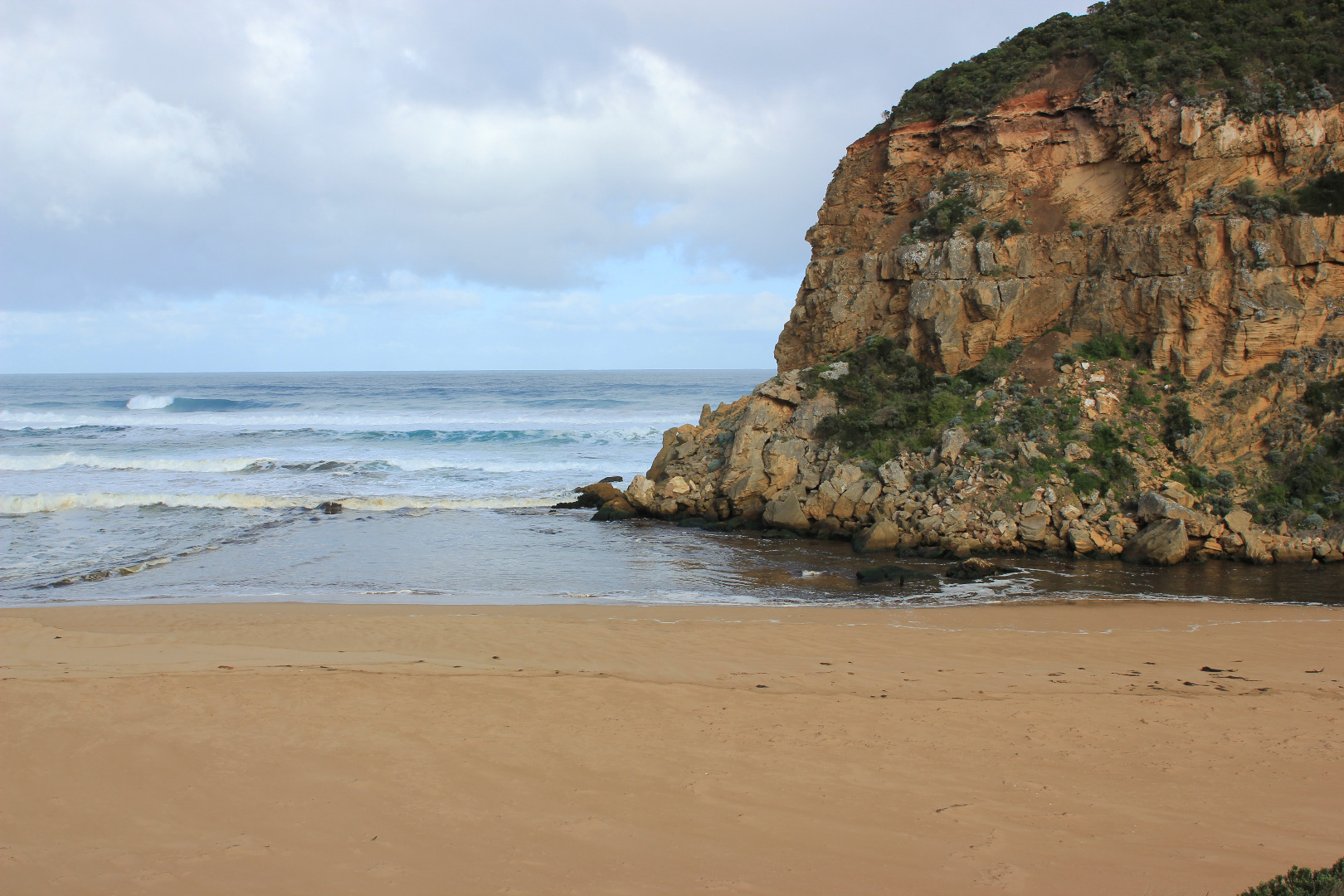
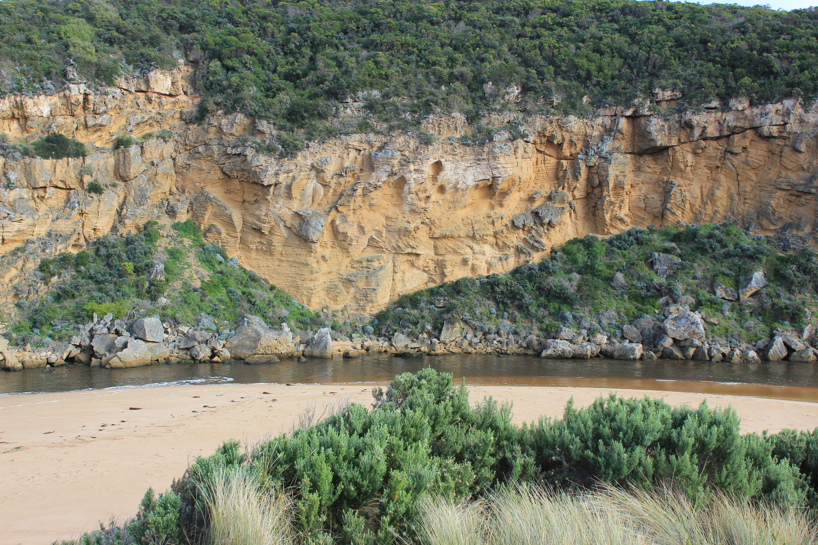
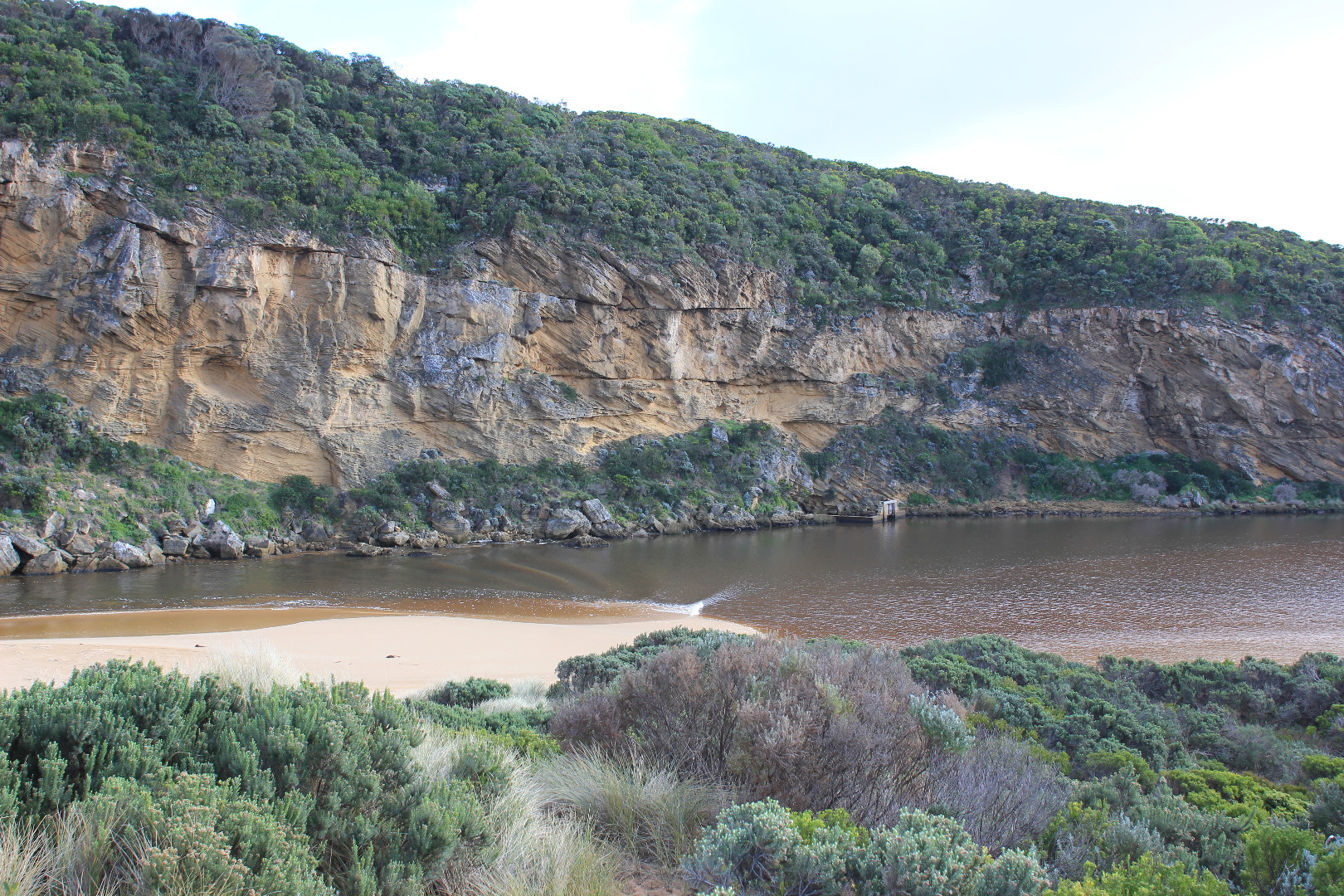
Active Mouth Condition 20-04-2007 - 19-04-2024Gellibrand River Estuary
| ID | Date | Status | Details | |
|---|---|---|---|---|
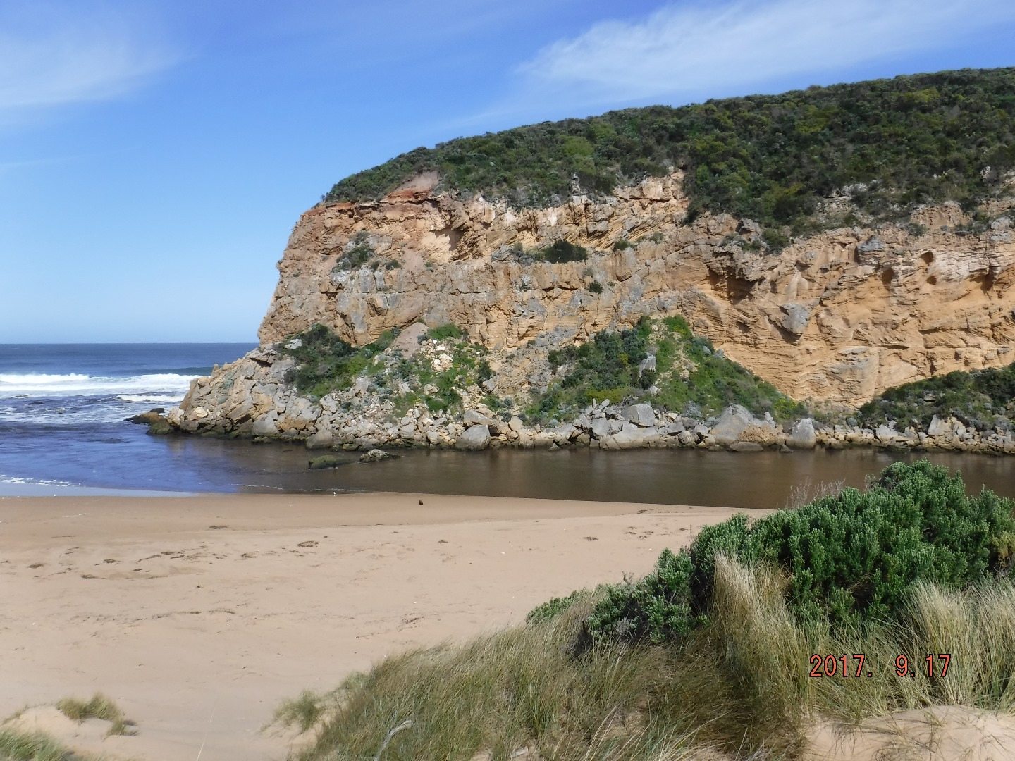
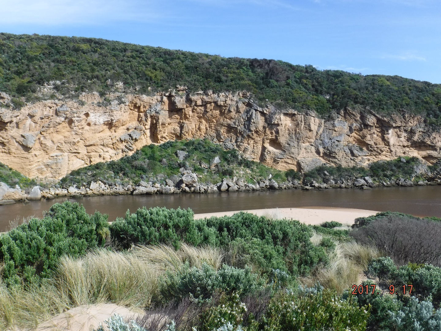
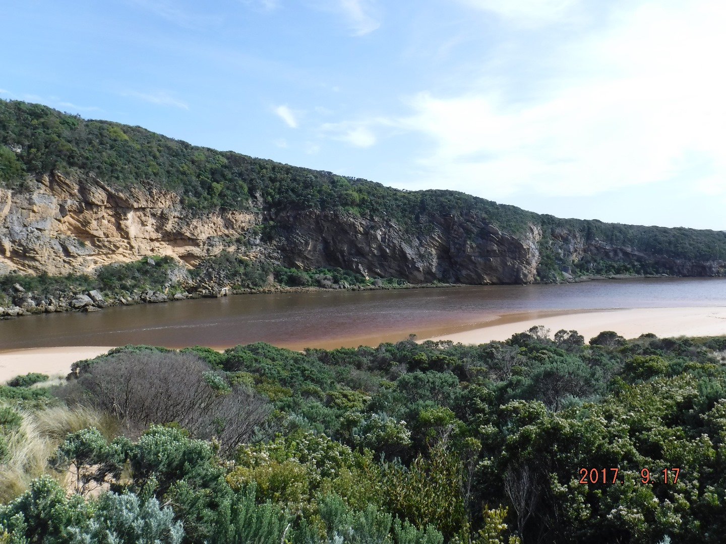
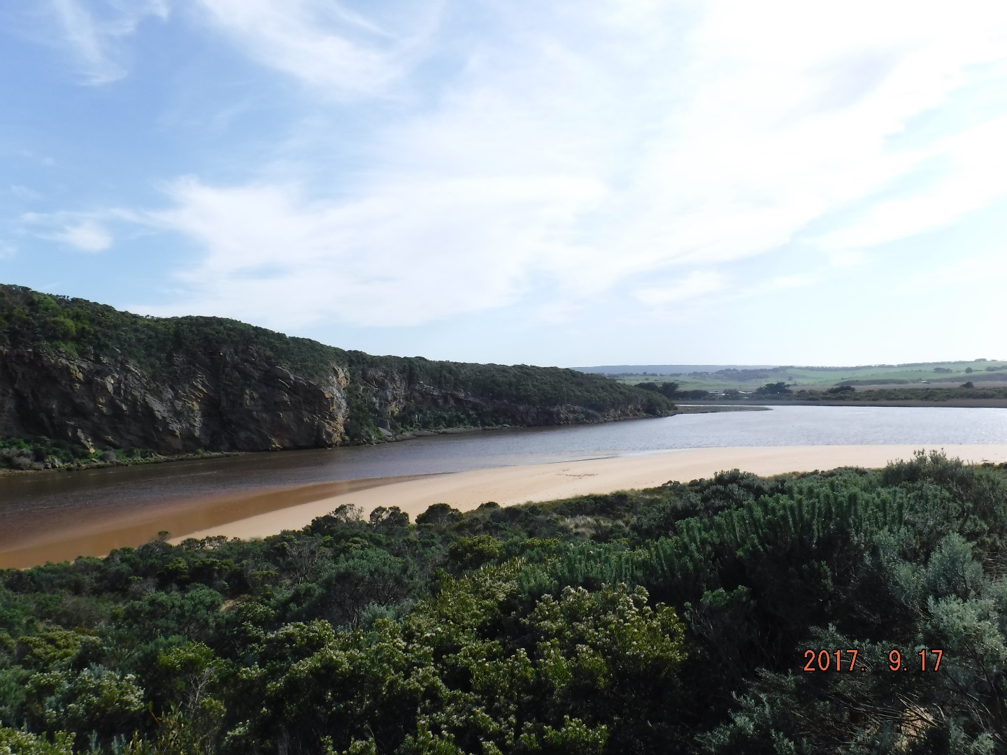
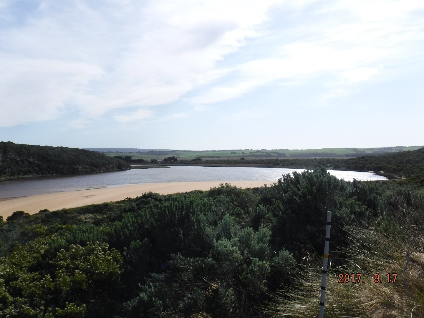
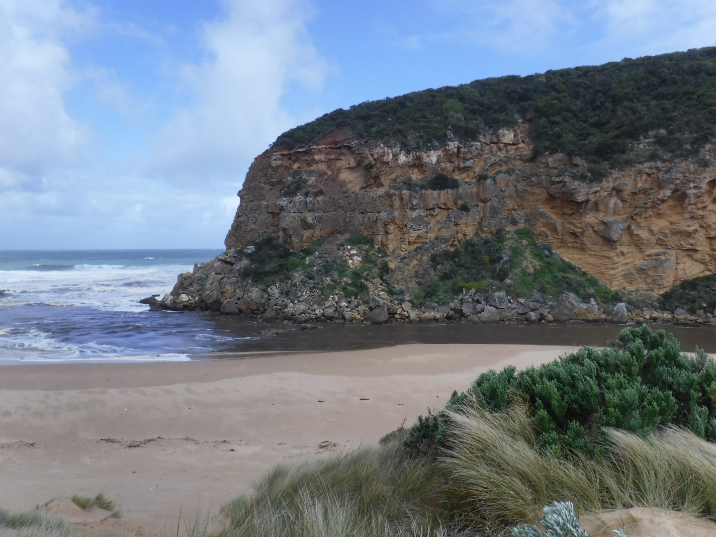
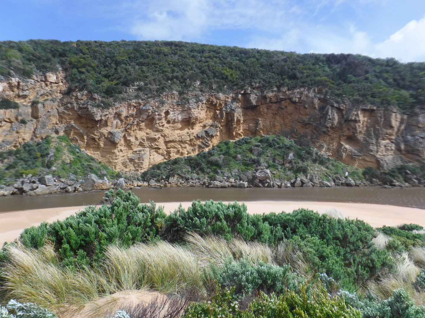
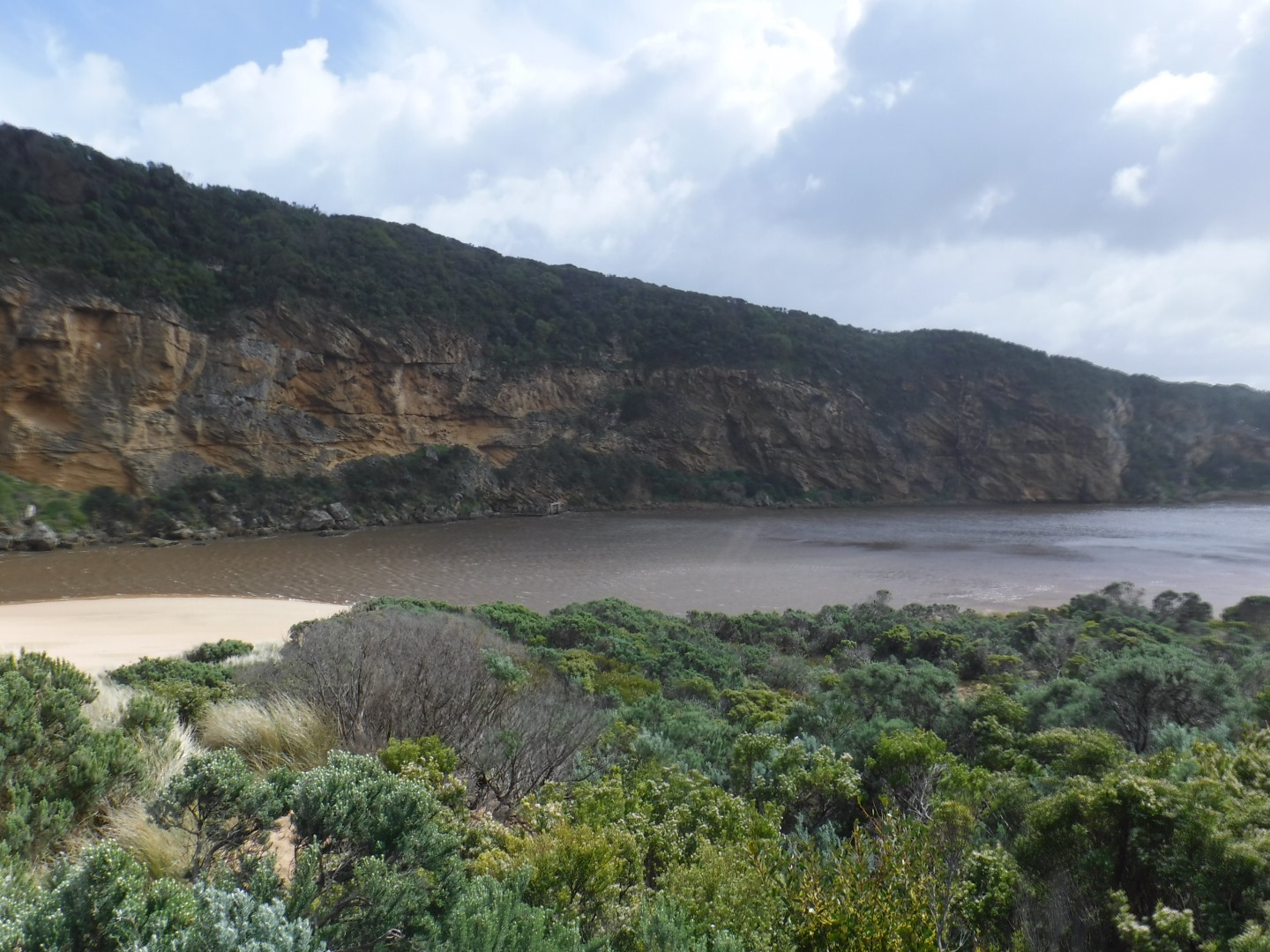
| #11453 | 17 Sep 2017 | Approved |
Notes:
AHD board covered with silt almost un readable Dark dirty discharge out flowing strongly to east. Strong longshore drift over mouth. Beach highest at east end. Flow on both sides of rocks. More rock fall on southern cliff face. Two Peregrine falcons over cliff. Stick cadis on beach at channel/entrance. Turbidity very high in estuary. Waves going along base of cliff S-N direction in estuary |
|
| #11440 | 7 Sep 2017 | Approved |
Notes:
Strong, dark and dirty discharge out, turning east SW swell crossing over outflow (also long shore drift) - waves in all directions Large amount of sand visible in breakers out to sea sand E side of channel 1.30m sheer side from erosion caused by recent high seas More rock down south & south east sides of Point Ronald extensive erosion/debris low track |
|
| #11422 | 1 Sep 2017 | Approved |
Notes:
No Photos taken -Camera in for repair Strong very dark discharge out turning east. At east end of beach turns out to sea. Some discharge to west in front of cliff Waves being held back by strong N wind but longshore drift meeting outflow Water level in estuary very low (AHD 0.29 @ G2) with very wide areas of sand exposed in all areas, channel entrance from estuary only about 15m. wide - very narrow continuing to rocks where there is flow on both sides. Only narrow channel between sand on S side of estuary & sand bar. Ocean beach wide with gentle slope, highest at E end. Sea grass exposed at side of low track. (also 2 dead kangaroos & 1 Wallaby. 2 large clumps of Phragmities in estuary about 10-17 m. from shore. Large amount of pollen in swash line E side of estuary More rock falls on S E side of cliff Wedge tailed eagle circling continually over estuary Surfer reported many whales close to shore along ocean area
|
|
| #11403 | 20 Aug 2017 | Approved |
Notes:
Very strong dark & dirty discharge out travelling east along shore line toward Rivernook beach & beyond. Beach has large amount of debris in swash line & is heavily covered with silt at mid beach & further east. Water throughout the estuary very brown & opaque. Much silt & debris collected along south side of estuary Steep sheer side to dunes has been cut N.E. of channel.Start of high track has drop of about 70 cm. Low track has water in low areas also remains of 2 dead Kangaroos caught in reeds |
|
| #11390 | 12 Aug 2017 | Approved |
Notes:
Dark discharge mainly around mouth Waves going high up on beach, entering mouth over wide area. Beach has been levelled out with large amount of sand visible in backwash going out to sea Overnight storm surge (6-7 m. high waves) has cut into area at start of channel creating a .5m. -1.5 m. high sheer face on dune below Gp1. Wind in different directions only 4 at Gp1 (sheltered by west cliff) but 6 on beach & eastern part of estuary Low track is under water but no water on any other road or track apart from some at north side of OOR near flood markers. Water pouring through eastern culvert but more water has built up at side of road near west culvert which remains blocked Large areas of flooding upstream G4 Turbidity G6 29 NTU'S (east side) 24 NTU's (west side) |
|
| #11389 | 8 Aug 2017 | Approved |
Notes:
Pale coloured discharge out around mouth but salt water visible entering up to rocks where dark divide occurs. Strong longshore drift across mouth over outflow & incoming sw/wsw swell Beach very wide - highest at east end but also high at mid beach after which it slopes down to the mouth. Wind & waves have scoured the face of the dunes at east end Channel has become more curved with large waves from V rough seas turning east at start of the estuary. Waves have impacted on low track Large areas of flooding upstream G4 with considerable rise in turbidity G2 17 NTU's pH 6.5 Lt1 15 NTU's pH 7.0 G6 22 NTU's pH 7.2
|
|
| #11362 | 21 Jul 2017 | Approved |
Notes:
Dark discharge around mouth,slightly along beach face to east, but more going to west in front of cliff face. Waves from WSW swell & longshore drift entering over top of strong outflow. Large amount of sediment/sand in discharge (turbidity 70 NTU's upstream) Water in estuary opaque & pale brown. Large amount of debris washed up on south side of estuary Beach front has changed- high sand area mid beach has been eroded by wave action. Mid beach down to entrance are now lower & sand projection out to sea formed not far from east end |
|
| #11343 | 15 Jul 2017 | Approved |
Notes:
Dark discharge only around mouth & slightly out to sea, waves entering over top of out flow, strong longshore drift across entrance. Waves in all directions at mouth & along beach to east. Waves going up channel into estuary some travelling along side cliff face but strongest flow turns east around sand build up Waves from SW swell strongly impacting east end of beach scouring out area close to rocks, waves going up over beach face into lower area then turning to west Beach highest mid beach More sand has been pushed into channel & down into estuary |
|
| #11326 | 7 Jul 2017 | Approved |
Notes:
Pale discharge out around mouth & slightly to east along foreshore. Also some directly out to sea (south) & around to west. Small waves entering over outflow into channel Waves strongly impacting beach at east end scouring out rocks previously well covered by sand Beach is low at entrance rising higher mid beach to east end. The area below Gp1 site has been further smoothed out but more sand now around rocks & in channel (current higher water level tends to make this more obvious) Very cold conditions air temp 8c. |
|
| #11301 | 2 Jul 2017 | Approved |
Notes:
Outflow out around mouth continuing east along shoreline. Waves entering over outflow from all directions, longshore drift active across mouth Actual entrance still wide but more sand in channel & start of estuary Sand build up in front of rocks increased - previous high edges along beach have been smoothed out Salt levels have increased at G2 |
|


All content, files, data and images provided by the EstuaryWatch Data Portal and Gallery are subject to a Creative Commons Attribution License
Content is made available to be used in any way, and should always attribute EstuaryWatch and www.estuarywatch.org.au